
| Hart Crag - Route One |
| Start - Bridgend NY 399 144 | Distance - 3.6 miles | Ascent - 2,280 feet | Time - 2hours : 30 minutes |
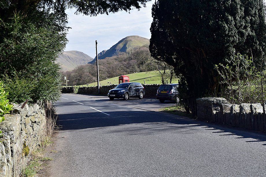 |
| The walk starts from Bridgend where there is parking available next to the telephone box at the southern end of Deepdale Bridge |
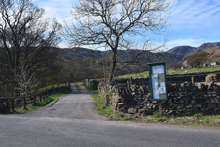 |
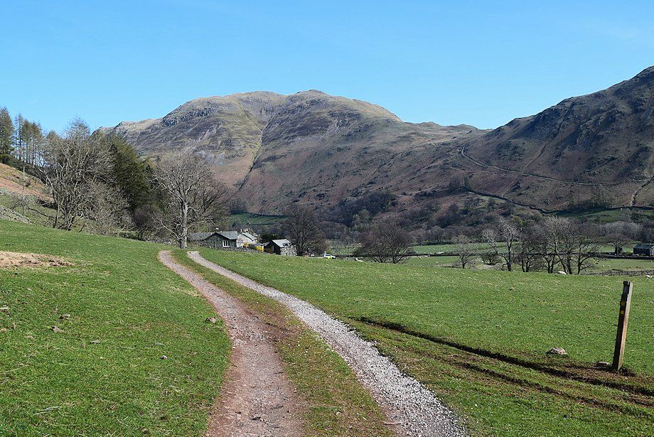
| At the northern end of Deepdale Bridge is the access track to Deepdale Hall. A walled lane leads off to the right which leads up to the cottages of Lane End. Hart Crag and Scrubby Crag can be seen above the buildings of Deepdale Hall |
 |
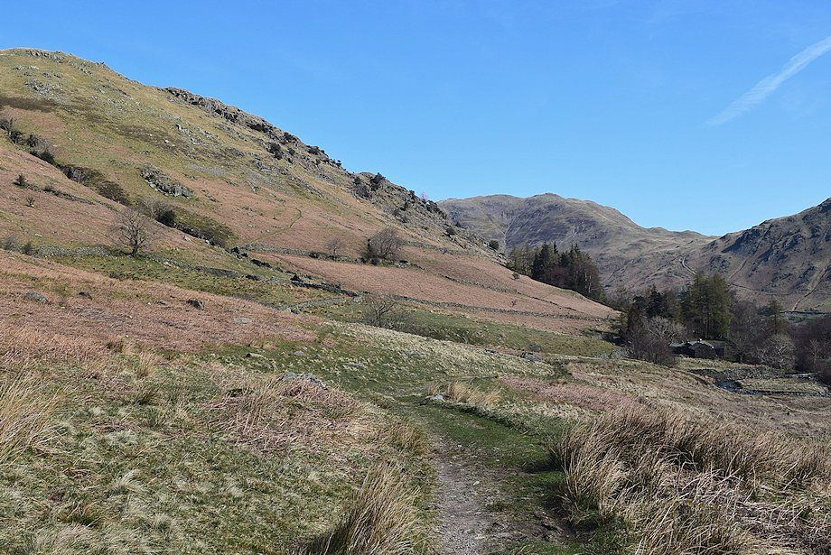
| Arnison Crag above Lane Head cottages. At the end of the lane a farm track turns off to the left heading into Deepdale |
 |
| The long ridge of Hartsop-above-How from the farm track |
 |
| Looking back to the cottages of Lane End backed by Place Fell |
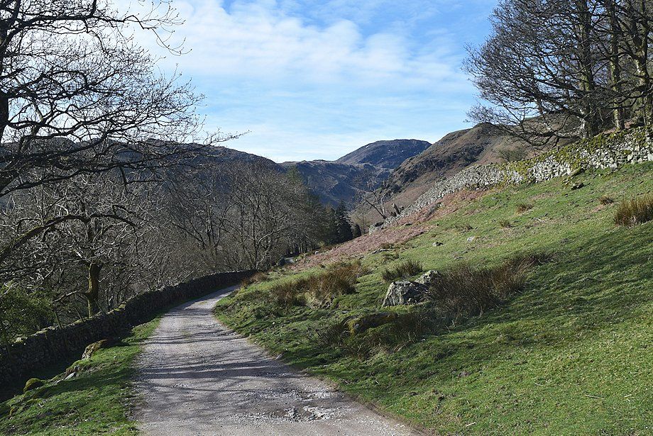 |
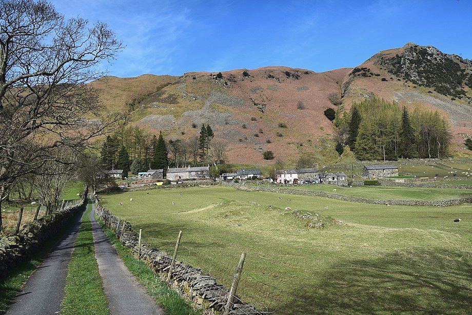
| The track passes above Deepdale Hall and continues on towards Wall End Farm |
 |
| Looking up Latterhaw Crag, Lord's Seat and Gavel Pike on the east ridge of St. Sunday Crag |
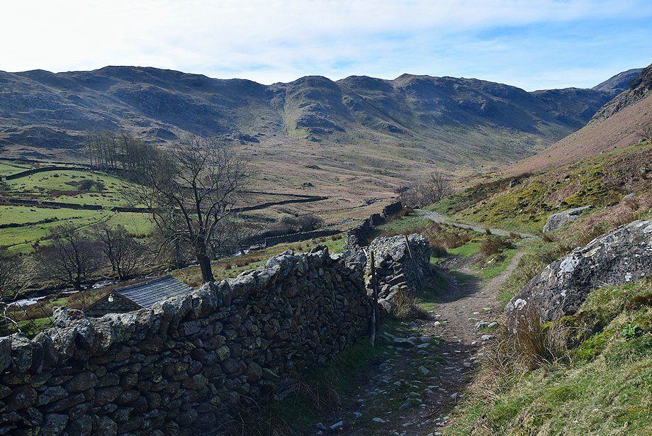 |
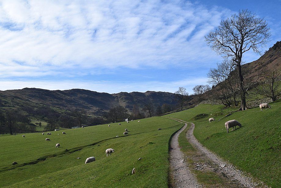
| Beyond Wall End the path descends to cross the clapperbridge spanning Coldcove Beck and continues alongside Deepdale Beck |
 |
| Looking back to Wall End Farm |
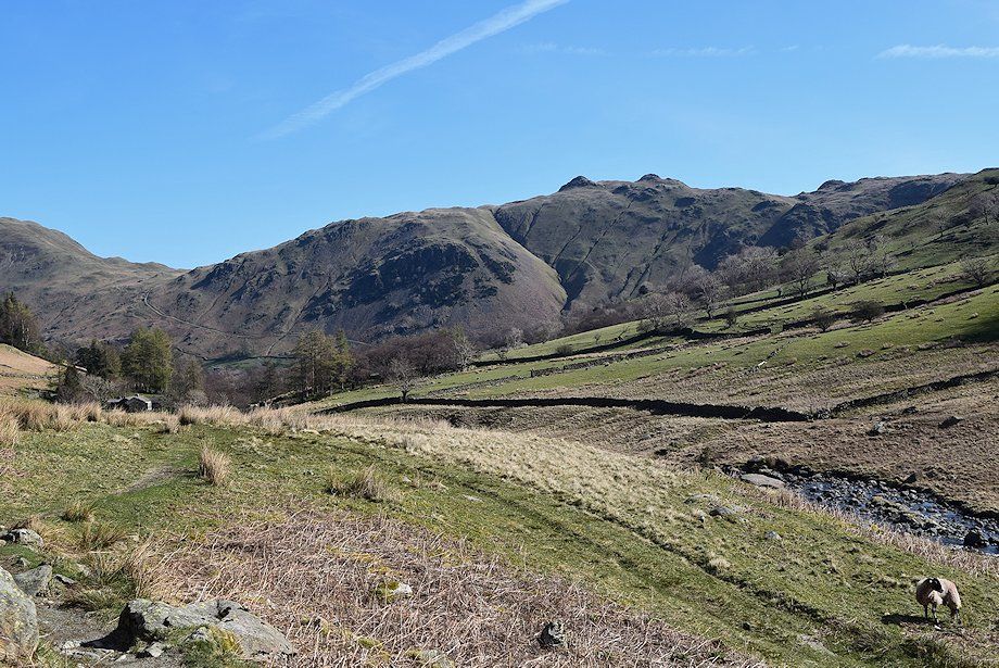 |
| Looking back towards Angletarn Pikes |
 |
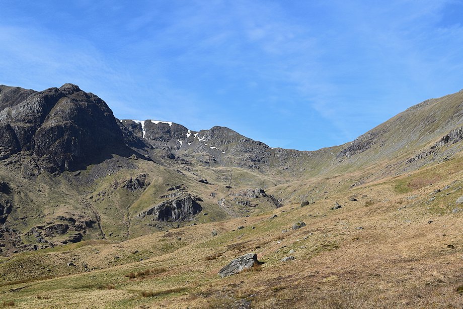
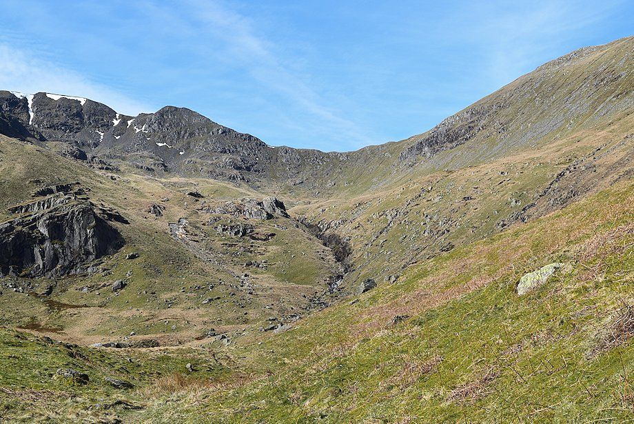
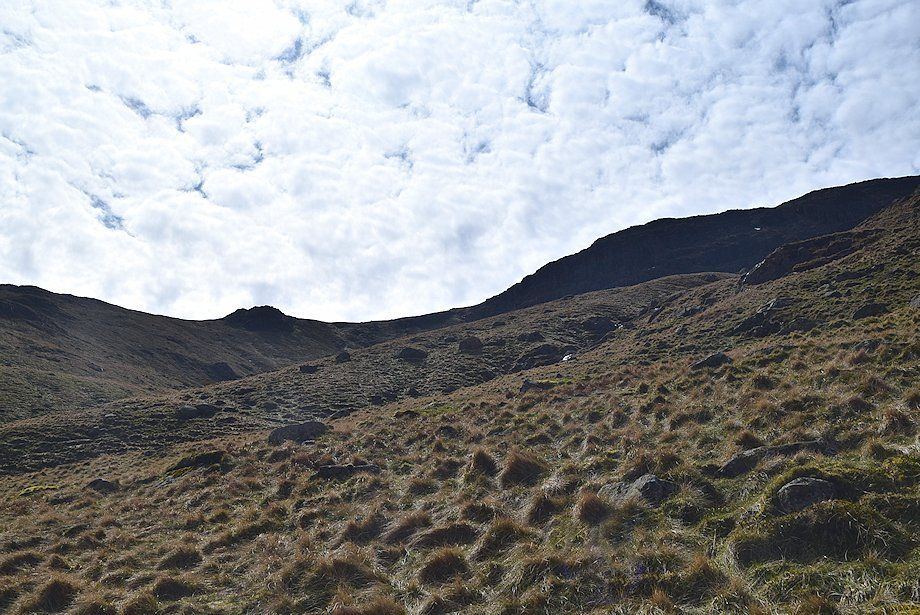
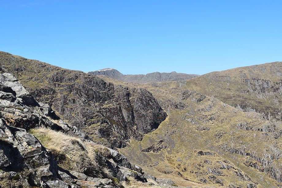
| Hart Crag, Scrubby Crag, Greenhow End and Fairfield come into view |
 |
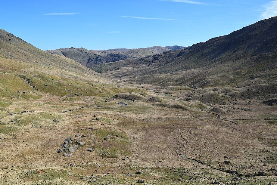
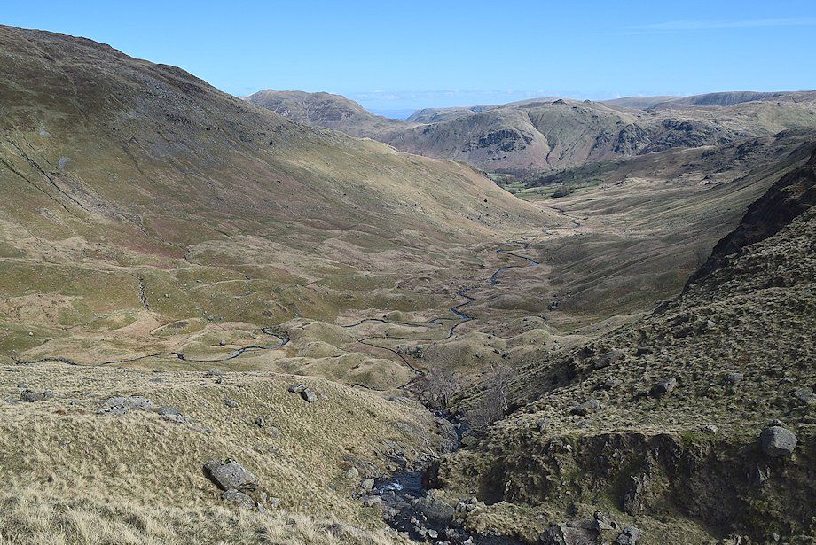
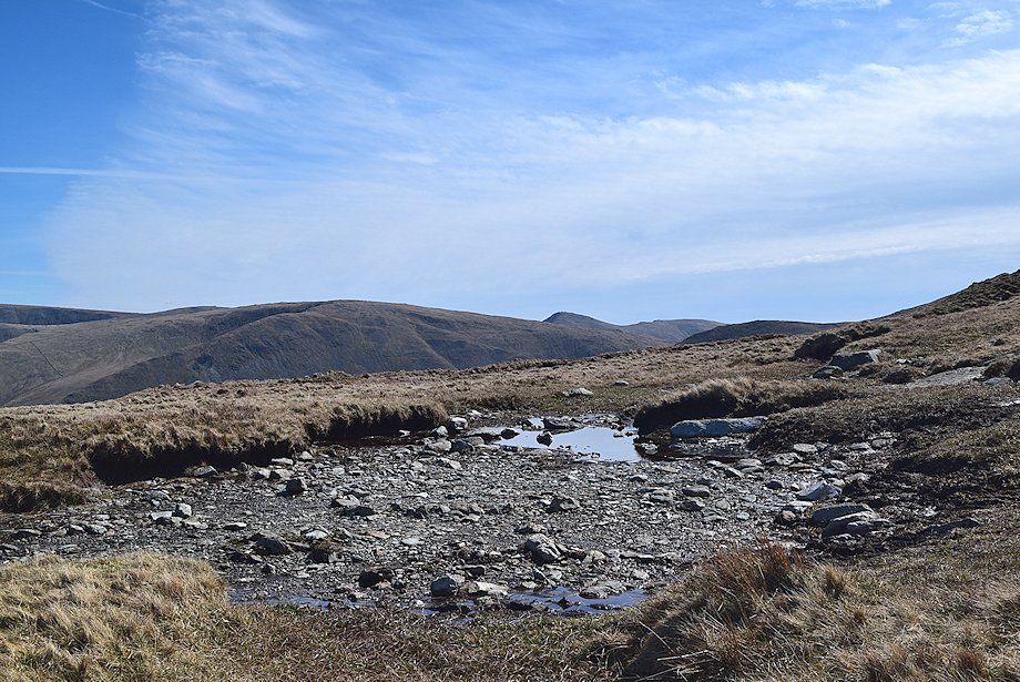
| The path moves away from the course of Deepdale Beck, avoiding the wet hollow of Mossydale by threading its way over and around the moraines which almost encircle it. A strange landscape littered with erratic boulders left behind by a retreating glacier |
 |
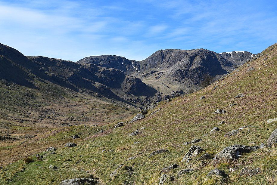
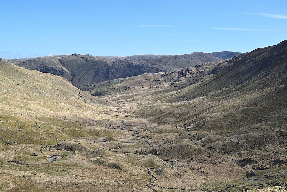
| Cofa Pike and Deepdale Hause at the head of the valley |
 |
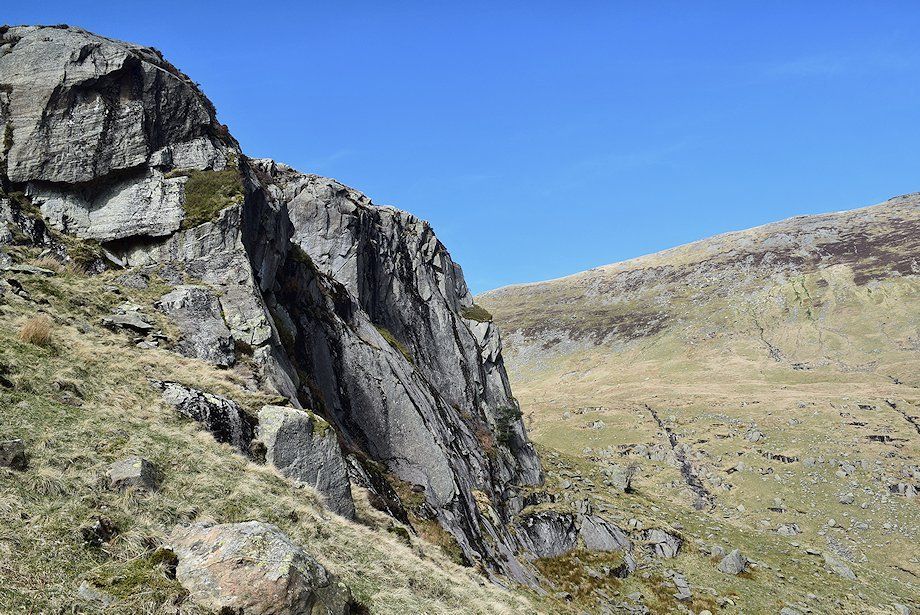
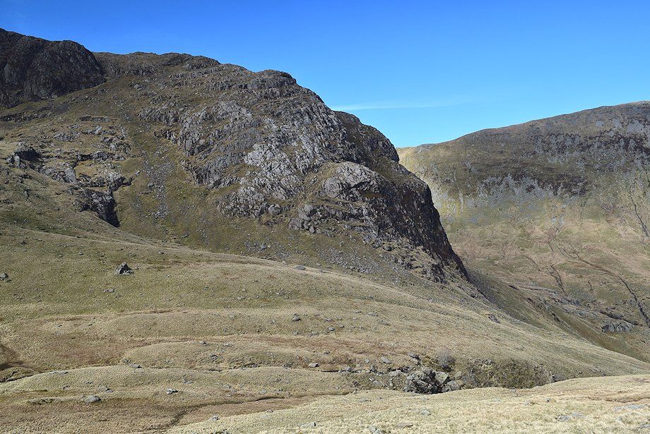
| Greenhow End and Scrubby Crag |
 |
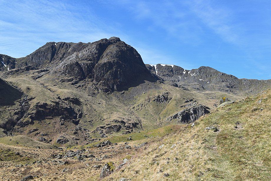
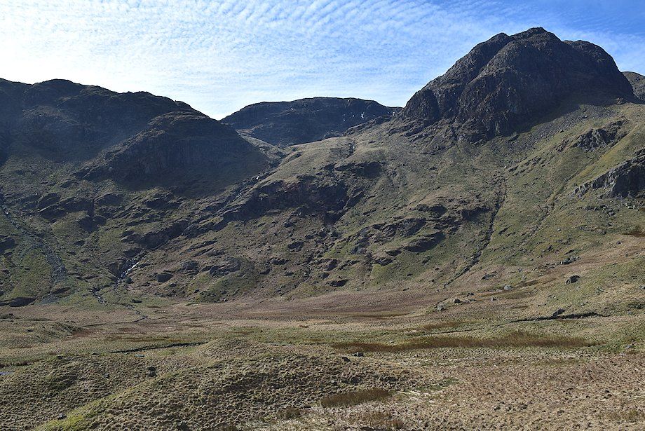
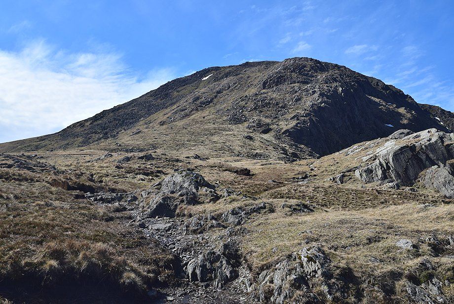
| Hart Crag above Link Cove. The route to Link Cove makes a rising traverse from the base of Mart Crag, on the right, passing below Greenhow End to reach the lip of Link Cove above the waterfalls of Linkcove Gill ravine on the left |
 |
| Looking back towards Angletarn Pikes and Brock Crags |
 |
| Approaching the crossing point over Deepdale Beck, there's no footbridge but usually there's no difficulty in finding a suitable place below the waterfalls. The main path continues on to the right of the ravine climbing up to Sleet Cove and Deepdale Hause |
 |
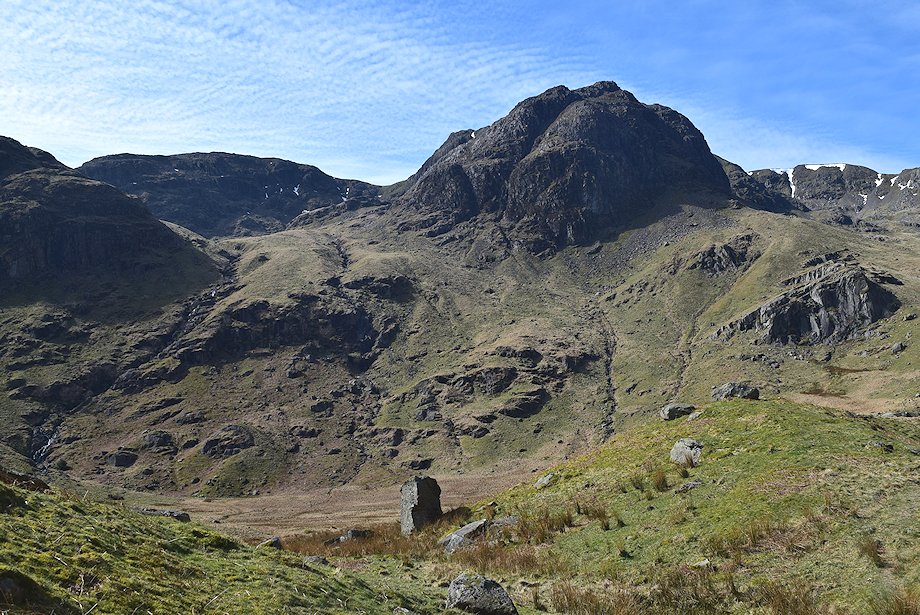
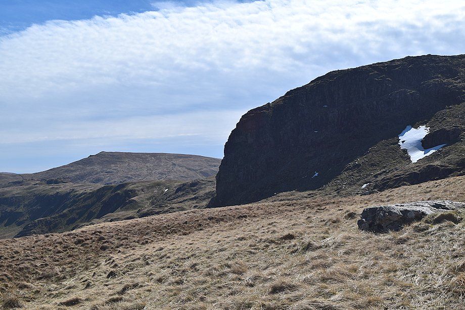
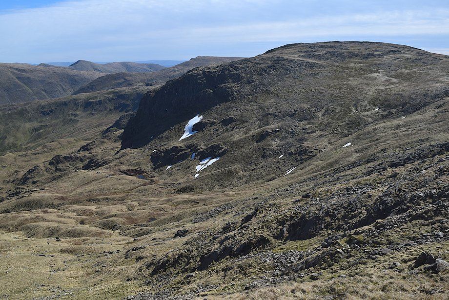
| Erne Nest Crag, Hart Crag and Greenhow End above the hollow of Mossydale |
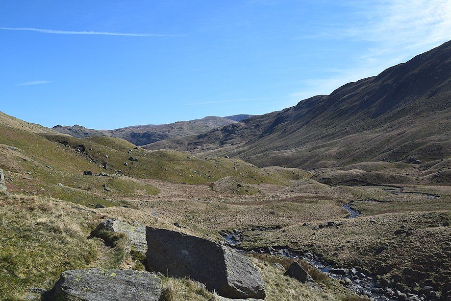 |
| Looking back from the crossing point over Deepdale Beck |
 |
| Greenhow End and Mart Crag from the crossing point over Deepdale Beck |
 |
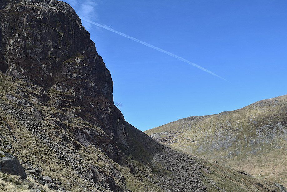
| Mart Crag |
 |
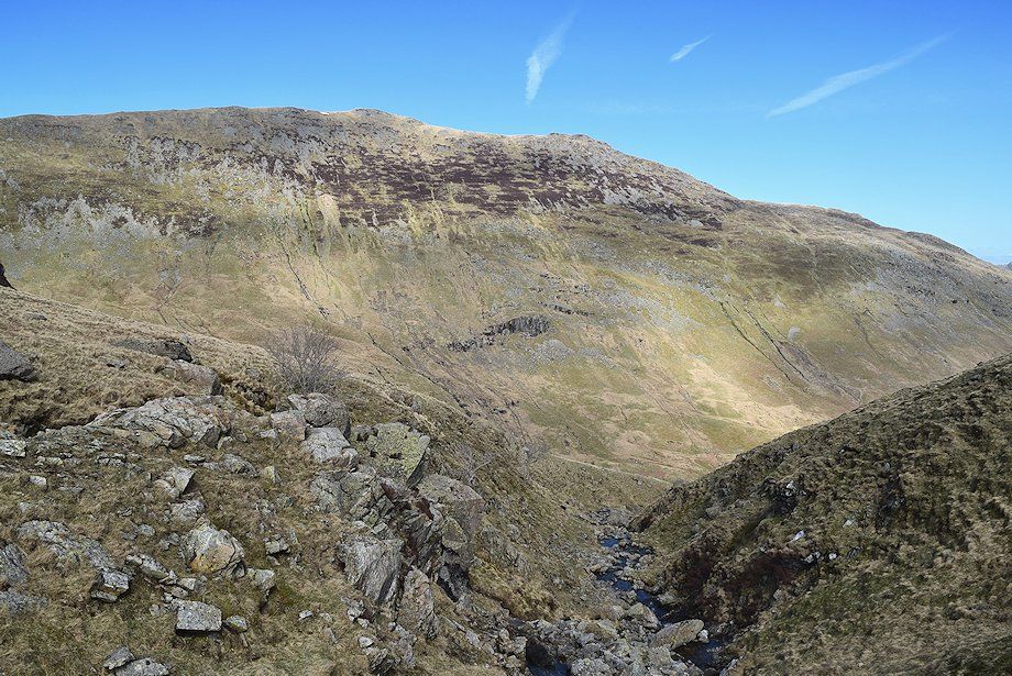
| Greenhow End from the base of Mart Crag. The route traverses across the slope below Greenhow End towards the lip of Link Cove on the extreme left of the photo. There is little evidence of a path over this section |
 |
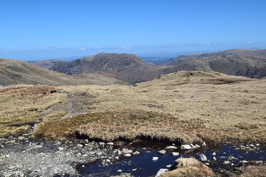
| Looking down on Mossydale |
 |
| Passing below Greehow End |
 |
| Approaching the lip of Link Cove. The objective is to continue on the same line to gain the Hartsop-above-How ridge at Blake Brow to the left of the prominent rock outcrop on the skyline |
 |
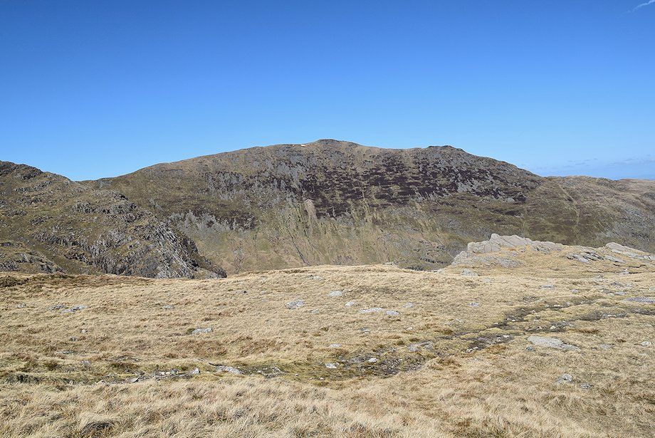
| The south-west ridge of St. Sunday Crag across Greenhow End |
 |
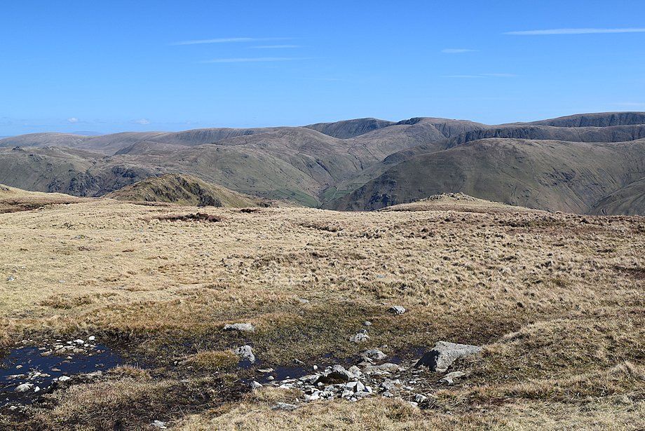
| Looking down on the lower reaches of Deepdale |
 |
| Scrubby Crag comes into view on crossing the west gill of Link Cove |
 |
| Deepdale from the east gill of Link Cove. Although both gills are unamed on the OS maps, the east gill has long been known to scramblers and climbers as Linkcove Gill, classed as a Grade 3 scramble in summer conditions |
 |
| St Sunday Crag from Linkcove Gill. The gill is easily crossed above the highest waterfall just before it enters the ravine |
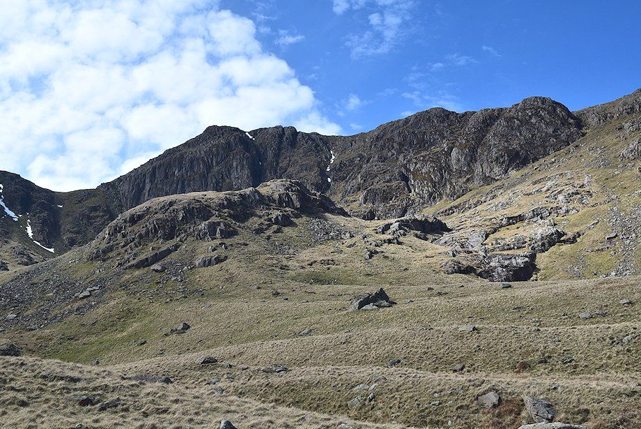 |
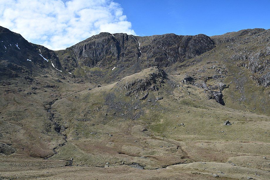
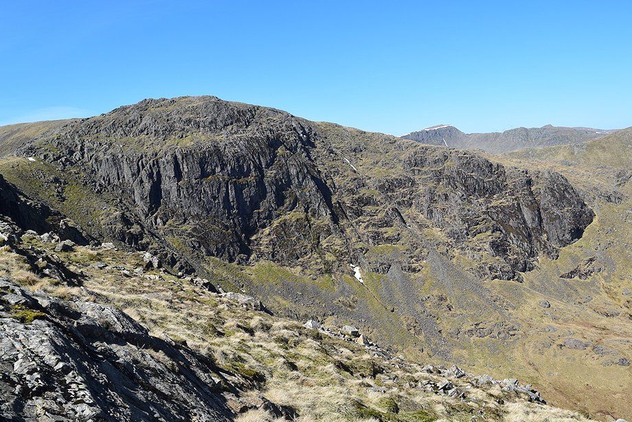
| Scrubby Crag above Link Cove |
 |
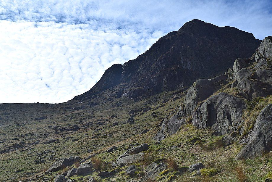
| Hart Crag across Link Cove |
 |
| Looking back to the crossing point over Linkcove Gill from the start of the climb to Blake Brow |
 |
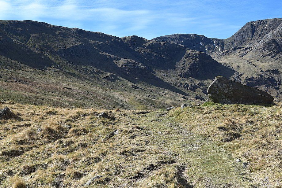
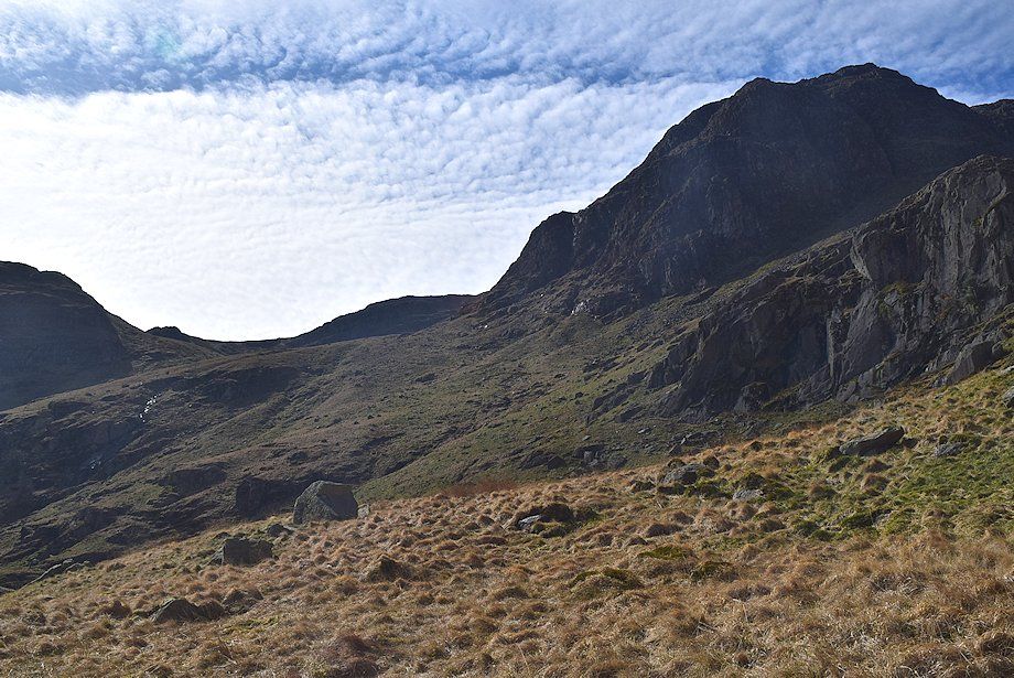
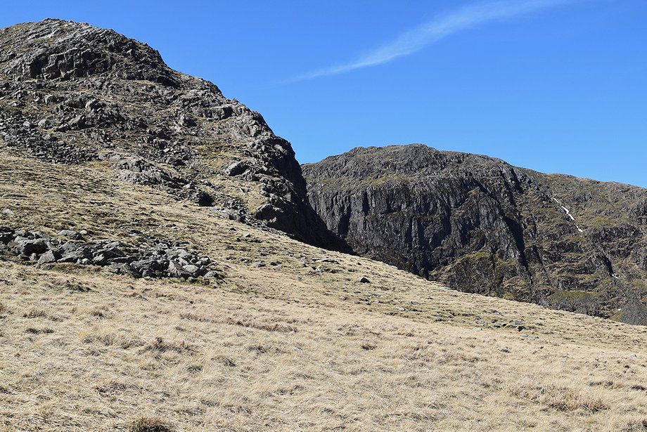
| Link Hause and Scrubby Crag from the climb to Blake Brow |
 |
| Looking across to Hart Crag from the climb to Blake Brow |
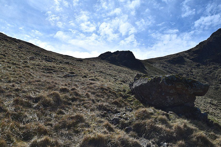 |
| Approaching the ridge-line near Blake Brow |
 |
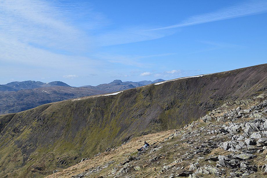
| On reaching the connecting ridge between Hartsop-above-How and Hart Crag, the summits of High Street, Thornthwaite Crag, Caudale Moor, Ill Bell, and Yoke come into view |
 |
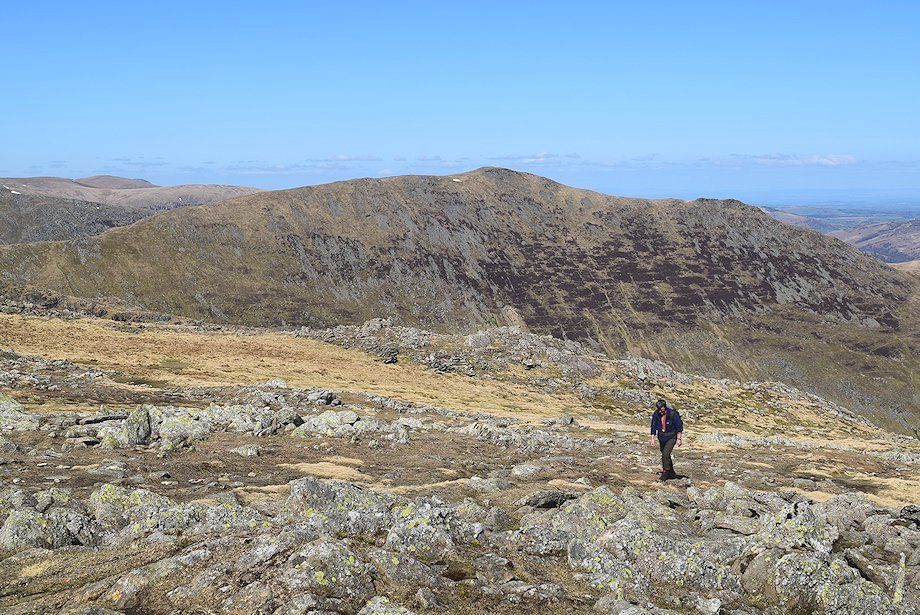
| Looking north-east, the summit of Hartsop-above-How in the left foreground |
 |
| Place Fell and Angletarn Pikes in the middle distance |
 |
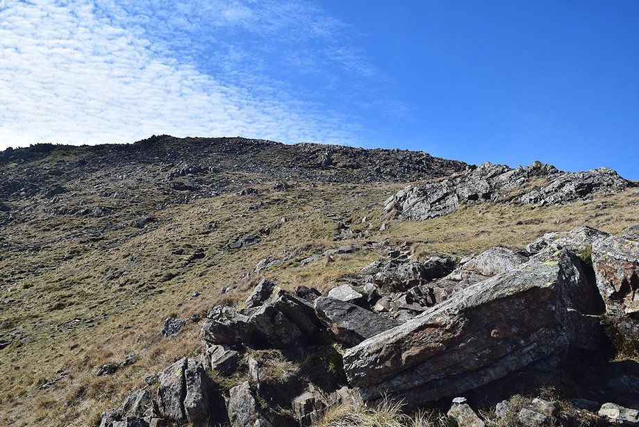
| On the approach to Hart Crag the path divides. The left branch avoids the rocks of the steep east ridge by climbing the open slope to the left of the crag but it soon encounters a loose scree gully. The right branch weaves its way easily up the crag. The paths re-unite near the top of the east ridge |
 |
| Red Screes across Dove Crag |
 |
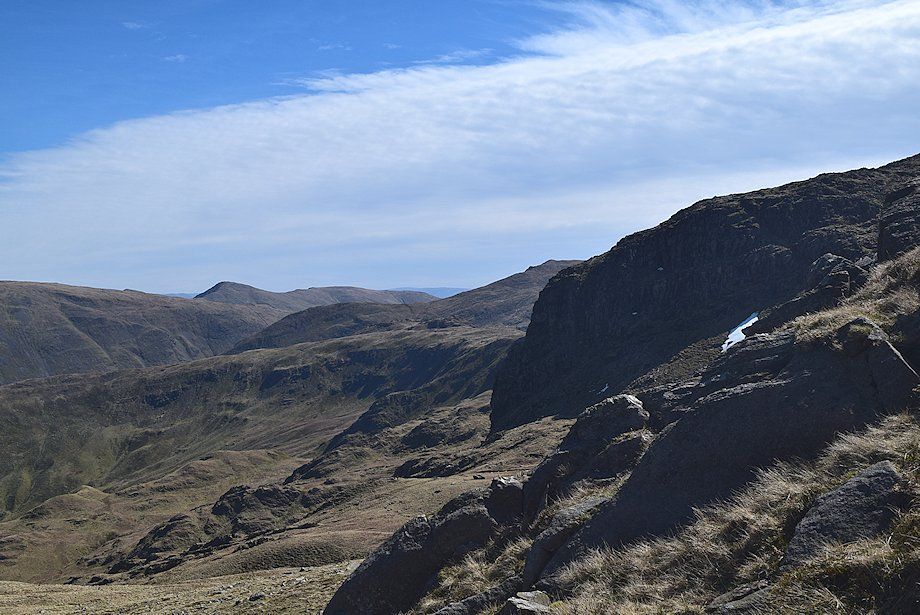
| Looking across to Greenhow End and St. Sunday Crag |
 |
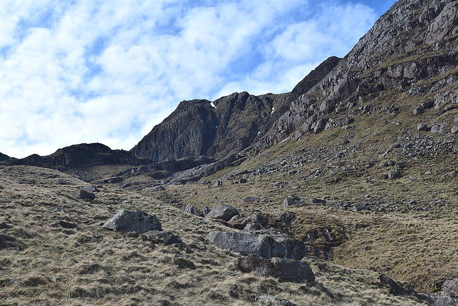
| Approaching the east ridge of Hart Crag |
 |
| Scrubby Crag across Hart Crag's east ridge |
 |
| Looking back along the Hartsop-above-How ridge from the foot of Hart Crag's east ridge |
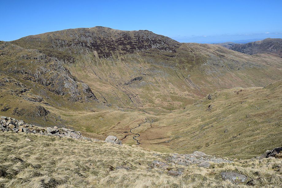 |
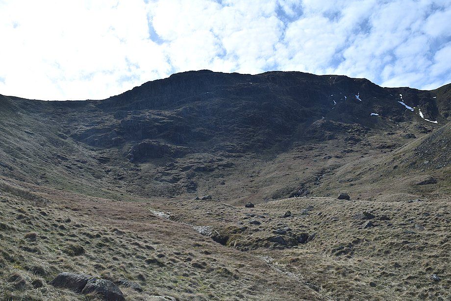
| Looking down into Link Cove |
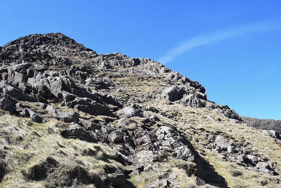 |
| On the east ridge; the path avoids any difficulties |
 |
| Looking across to Dove Crag from the path up the east ridge |
 |
| Looking right, Helvellyn with Striding Edge and Catstycam come into view as height is gained |
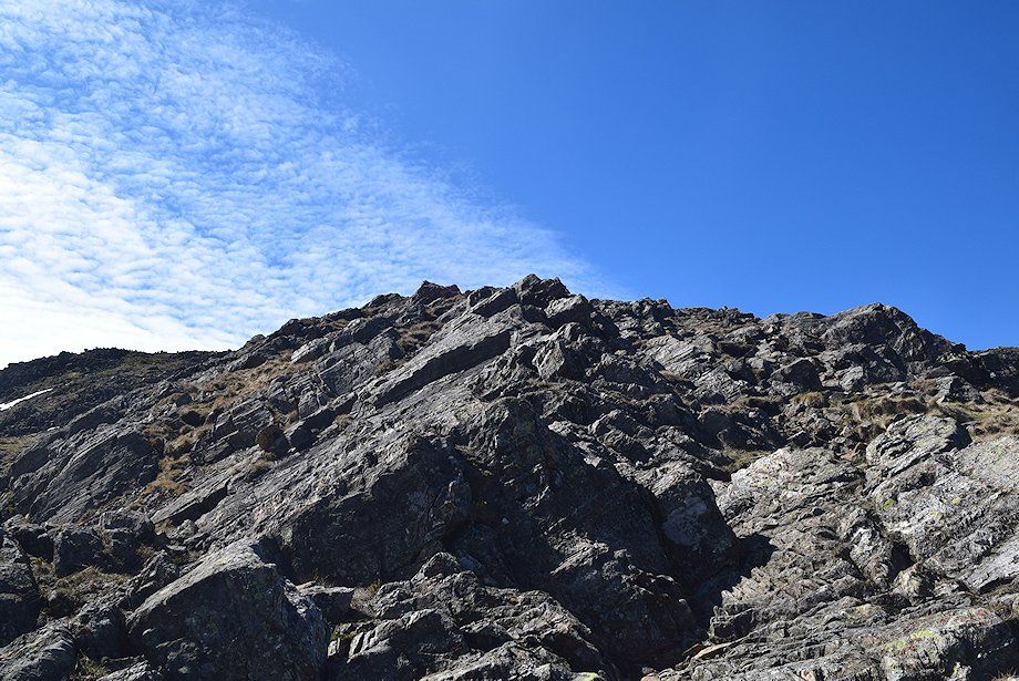 |
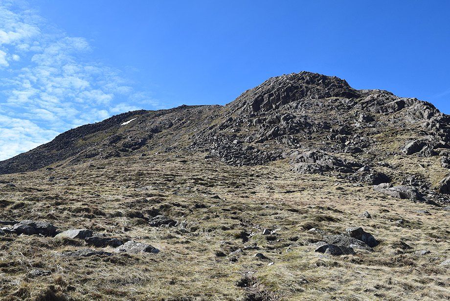
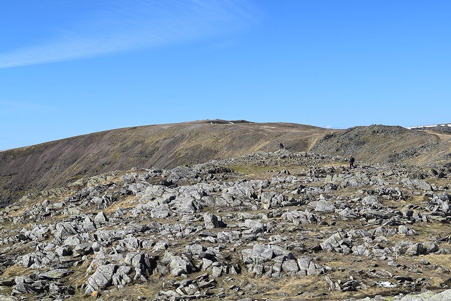
| Approaching the top of the east ridge |
 |
| Looking back from near the top of the east ridge |
 |
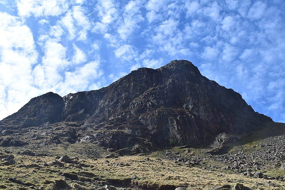
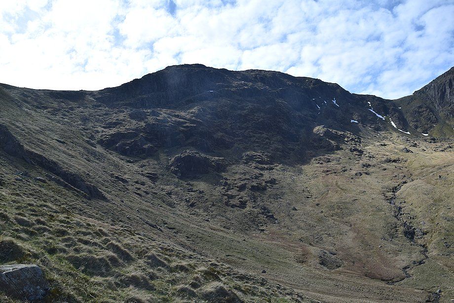
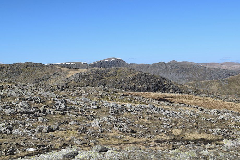
| The summit of Hart Crag comes into view |
 |
| Dove Crag across Houndshope Cove from the top of the east ridge |
 |
| Scrubby Crag across Link Cove from the top of the east ridge |
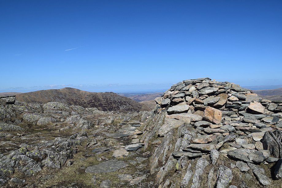 |
| The summit cairn on Hart Crag |
 |
| The connecting ridge to Fairfield |
 |
| Helvellyn over Scrubby Crag with Catstycam over Striding Edge |
 |
| St. Sunday Crag with Stybarrow Dodd, Great Dodd and Green Side on the left horizon |
 |
| A group of walkers approaching the summit having ascending the east ridge |
 |
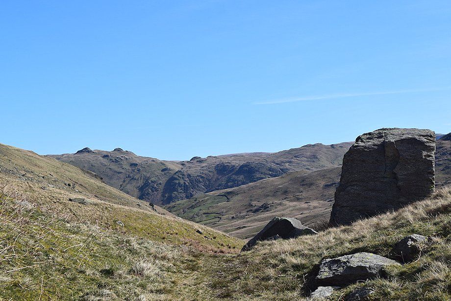
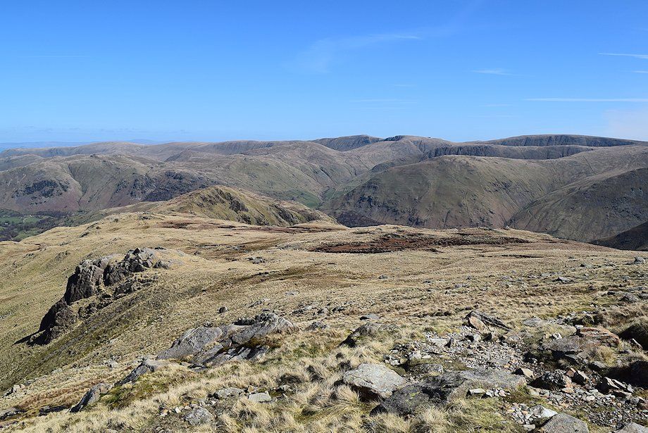
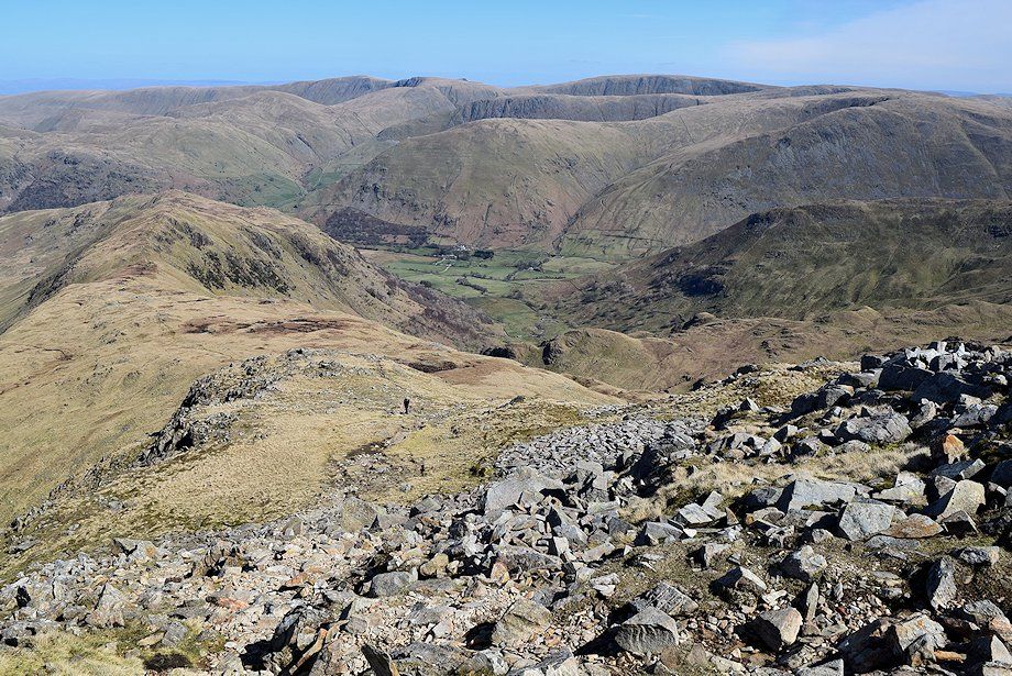
| Looking north-east, Hartsop-above-How backed by a long line of the Far Eastern Fells, from Place Fell on the left to Kidsty Pike on the right |
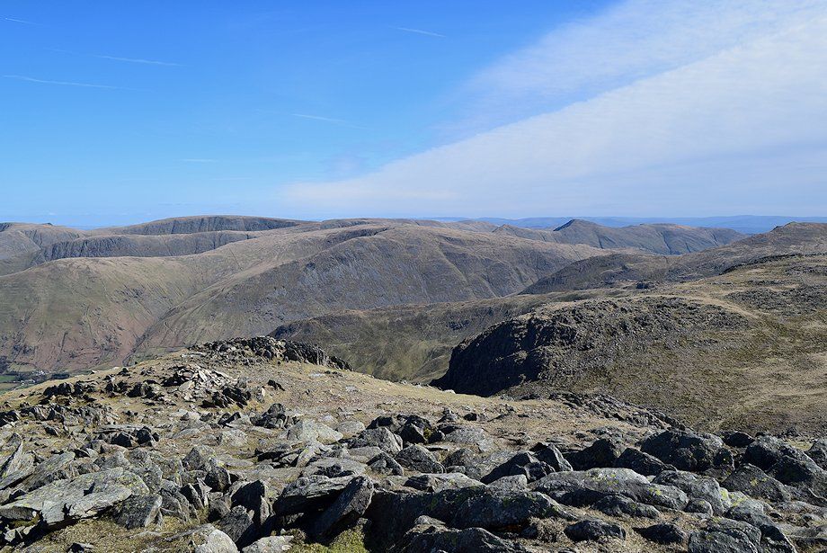 |
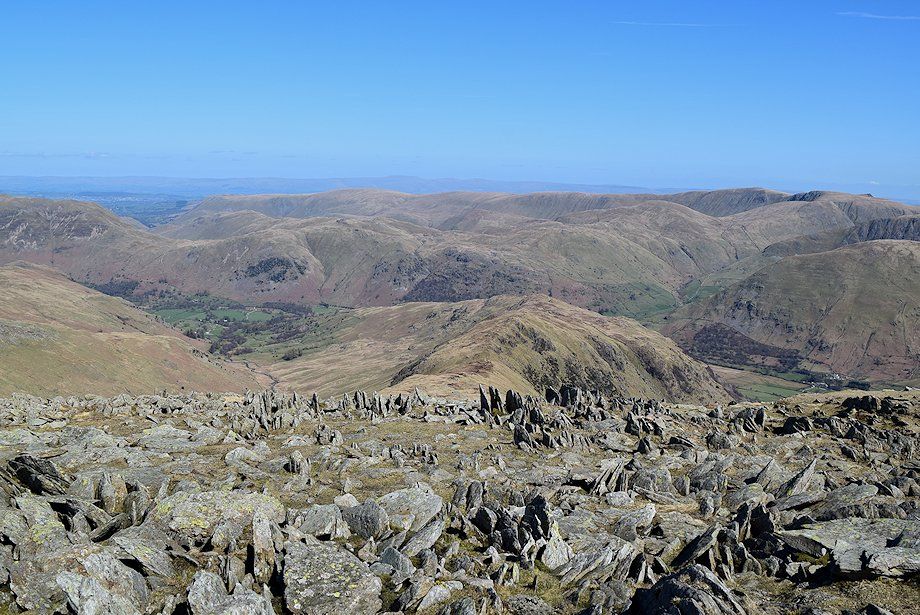
| Looking east to Rampsgill Head, Kidsty Pike, High Street, Thornthwaite Crag, Harter Fell, Kentmere Pike, Froswick, Ill Bell and Yoke in the distance. With, in the right middle distance, Dove Crag, Middle Dodd and Red Screes |
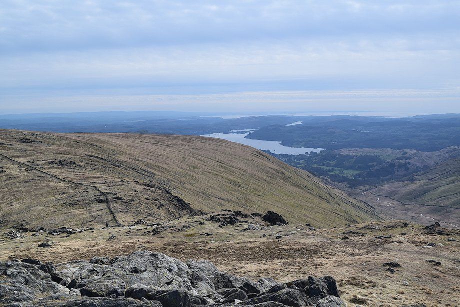 |
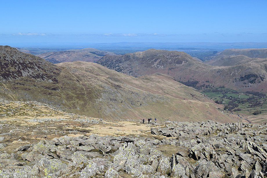
| Looking south to Windermere |
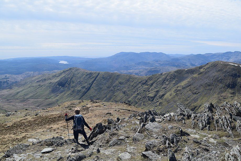 |
| The Coniston fells over the Heron Pike~Great Rigg ridge |
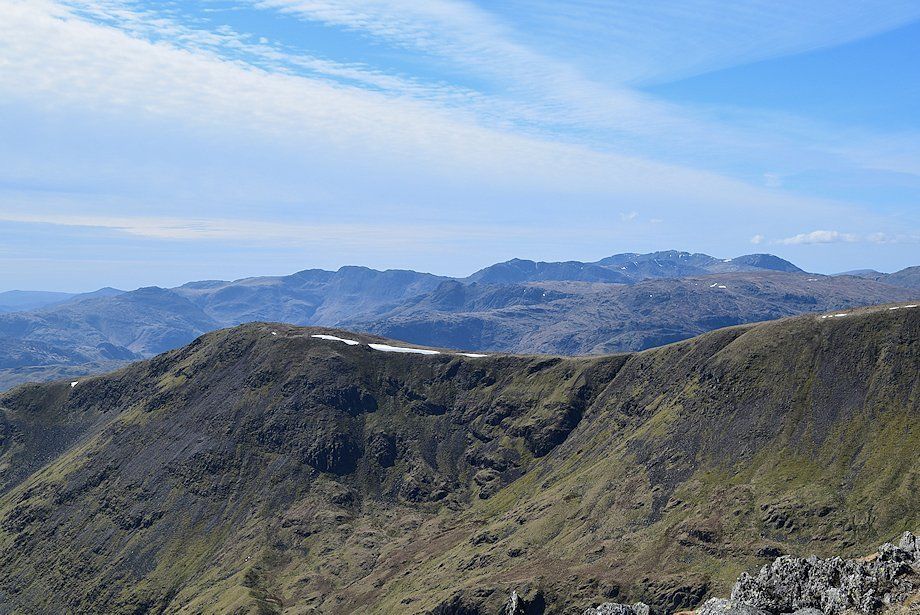 |
| Crinkle Crags, the Langdale Pikes, Bowfell and the Scafell group over the Great Rigg~Fairfield ridge |
 |
| The Scafells, Great Gable and Pillar over Fairfield's south ridge |
|