
| Harter Fell - Route One |
| Start - Birks Bridge SD 235 995 | Distance - 3 miles | Ascent - 1,700 feet | Time - 2 hours : 05 minutes |
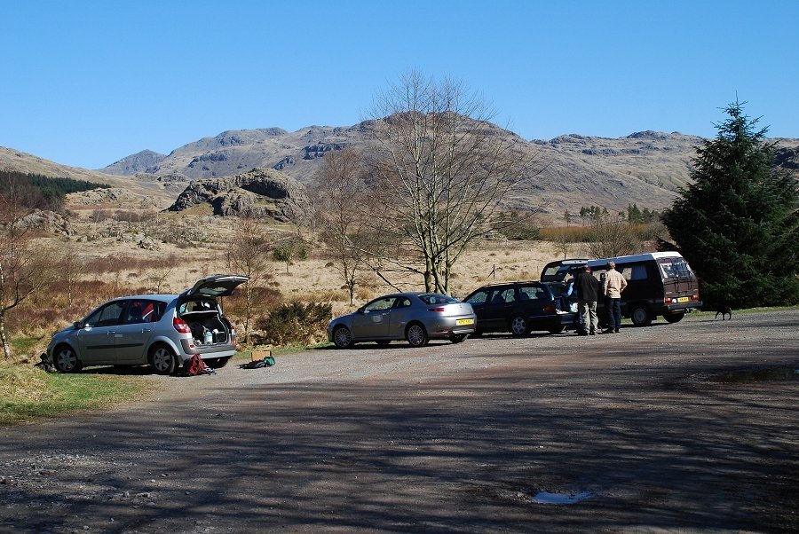 |
| The Forest Enterprise car park and picnic site at Birks Bridge in the Duddon Valley at the start of the walk. The car park is situated a little to the north of the old packhorse bridge over the River Duddon |
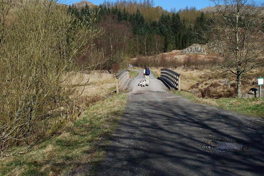 |
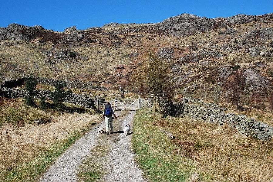
| Crossing the modern bridge from the car park. On the other side a path turns immediately to the left and passes through Great Wood towards Birks |
 |
| Looking back to the bridge from the start of the path to Birks, with Grey Friar in the background |
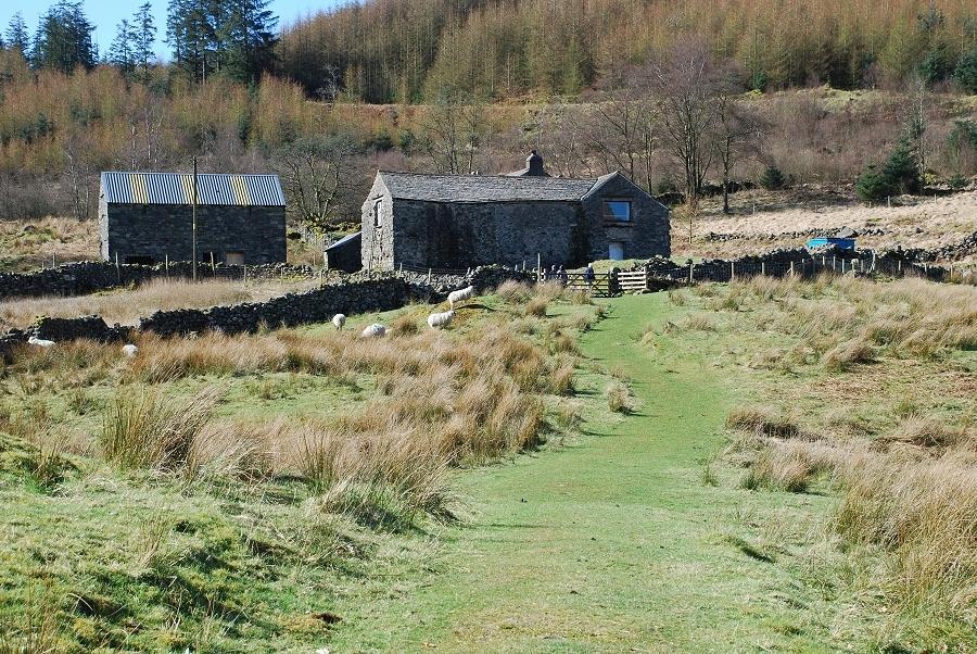 |
| Approaching Birks, abandoned as working farm when most of its land was lost to forestry. Now owned by a Shropshire school, which use it as a residential field study centre, it has been renamed The Birks |
 |
| Walking up the drive from The Birks to rejoin the forest road which is used for vehicular access to the centre |
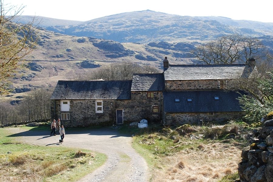 |
| Looking back to The Birks from the top of its drive to appreciate its wonderful location in this peaceful valley |
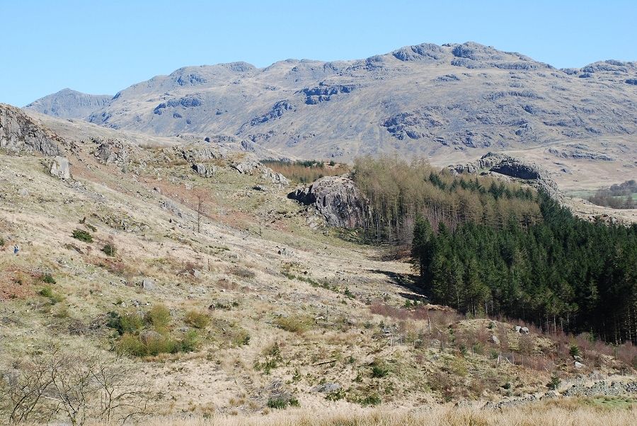 |
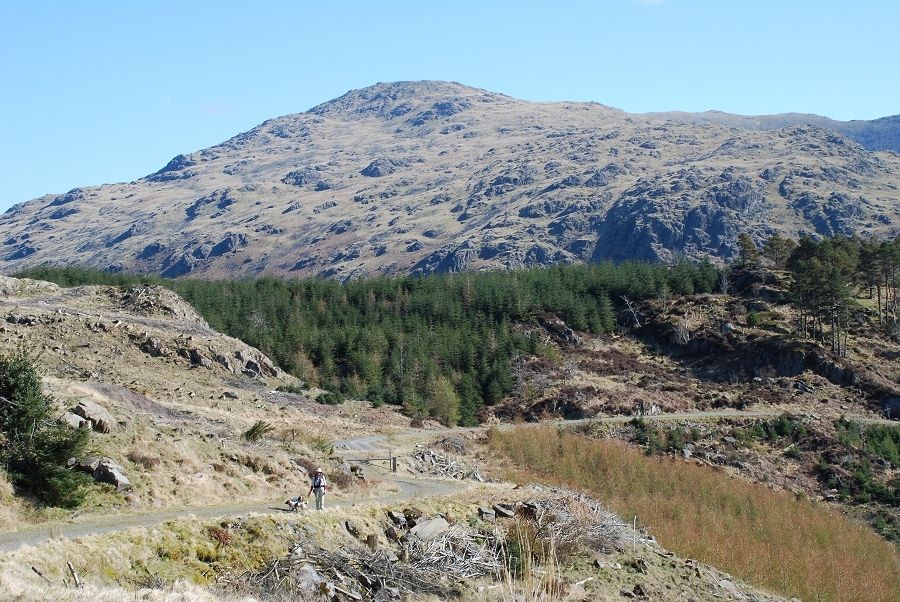
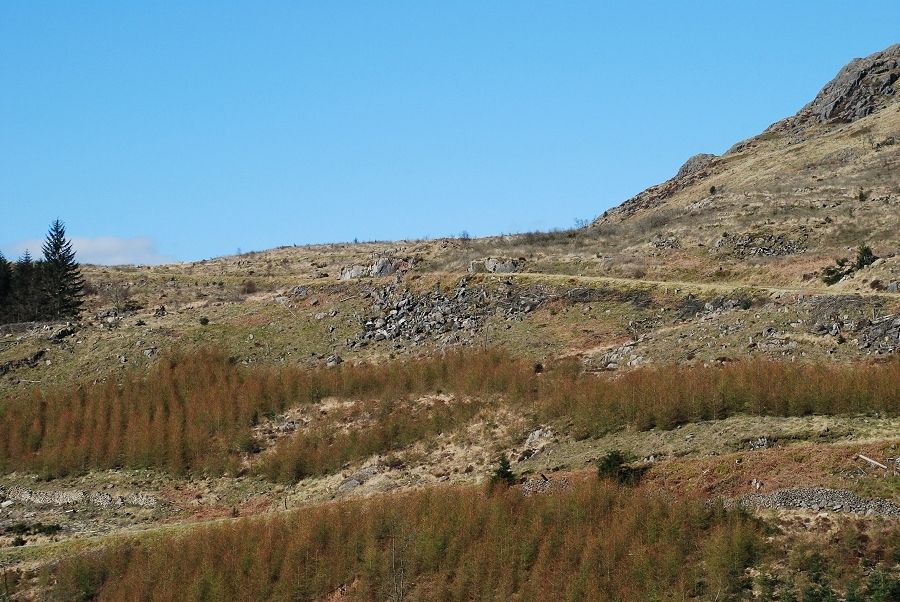
| Nearly all of the forest has been felled in the last few years. Notices have been sited at various points informing visitors that the area will be replanted with native decidious trees. Here we have just rejoined the 'forest' road and are looking back to Bowfell and Crinkle Crags |
 |
| Looking back to the start of the walk from the forest road. Grey Friar is the fell in the background |
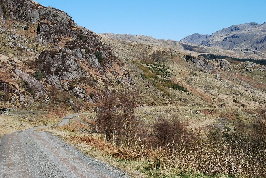 |
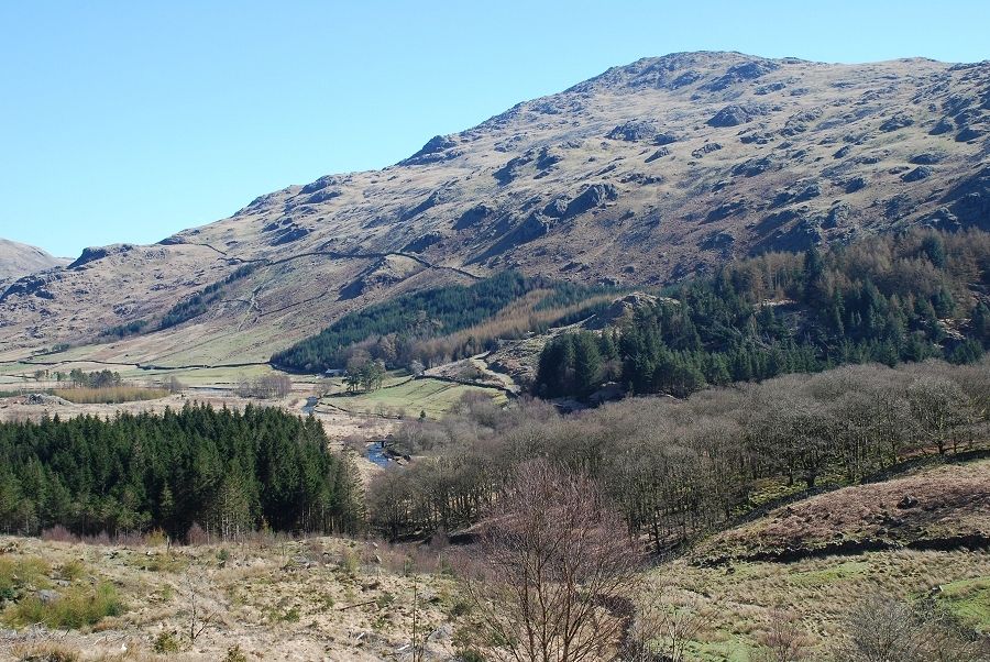
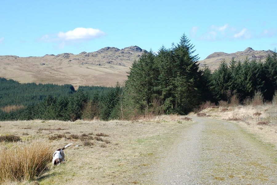
| The road begins a series of wide sweeps as it rises 500ft in just over 1.5 miles to join the old bridleway between the Duddon Valley and Eskdale |
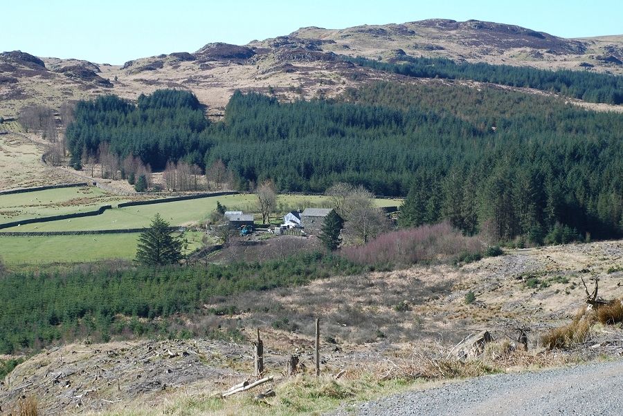 |
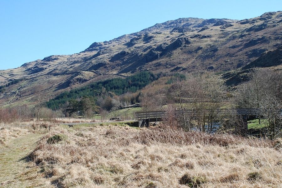
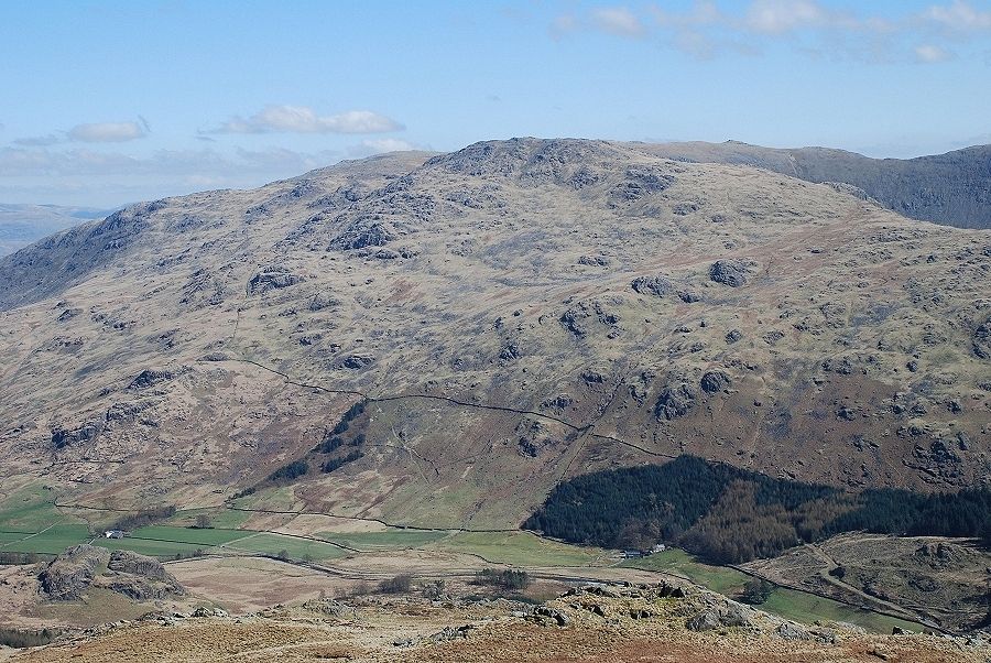
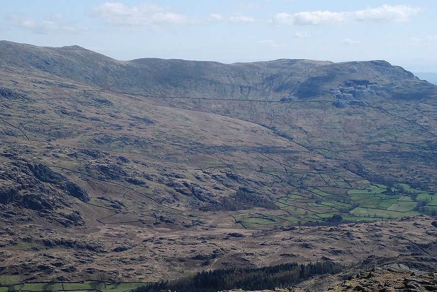
| Passing Grassguards, still a working farm, on the edge of the forest. The forestry road we are on serves as its vehicular access |
 |
| The summit of Harter Fell comes into view as we round one of the bends in the road |
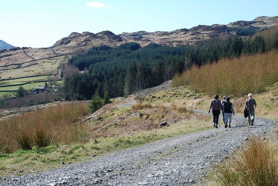 |
| A group of walkers who have accompanied us this far turn off the road to descend towards Grassguards. They are on circular walk from the car park and are stopping off at the Newfield Inn for lunch |
 |
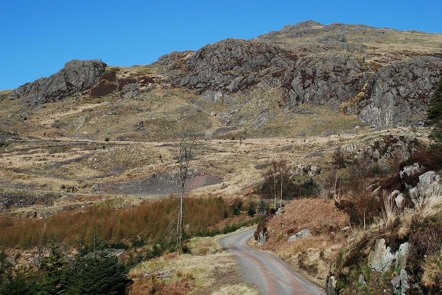
| We continue on the road which is barricaded above the Grassguards turn off |
 |
| The road makes one final turn as it approaches the ridge line |
 |
| Nearing the top of the road as Green Crag and Crook Crag come into view |
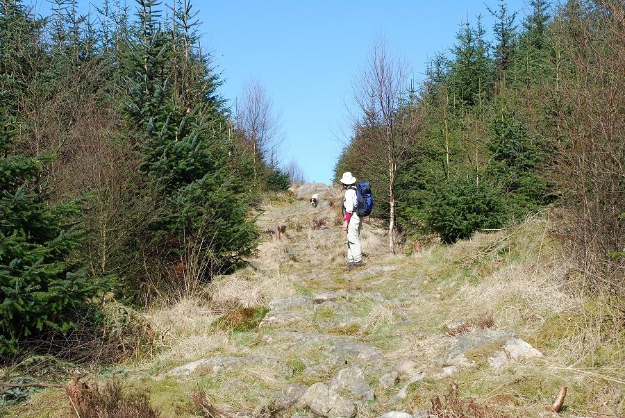 |
| The road comes to an end at a wide turning circle where a path continues through a younger plantation |
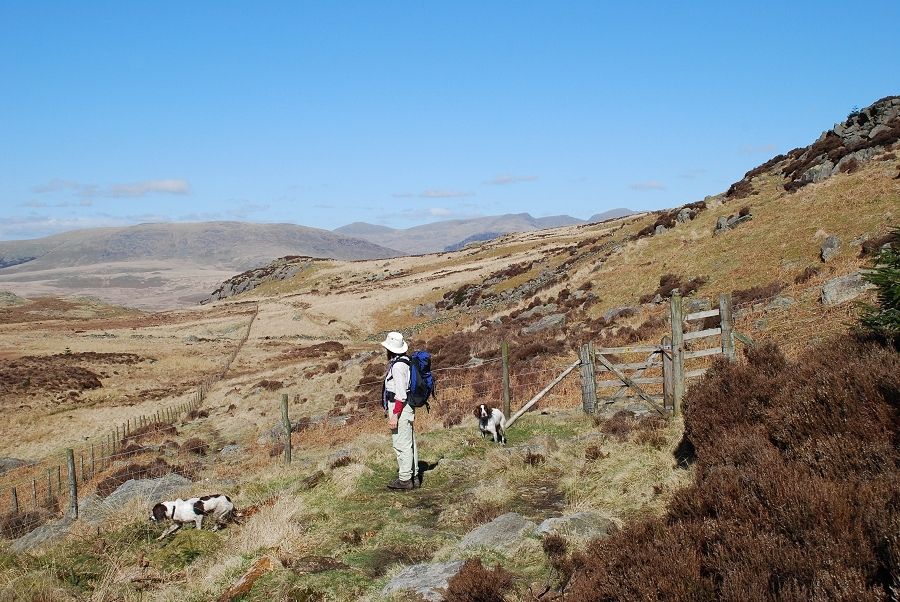 |
| After a couple of hundred yards the path reaches a gate in the forestry fence at the highest point on the pass. It continues on to descend into Eskdale |
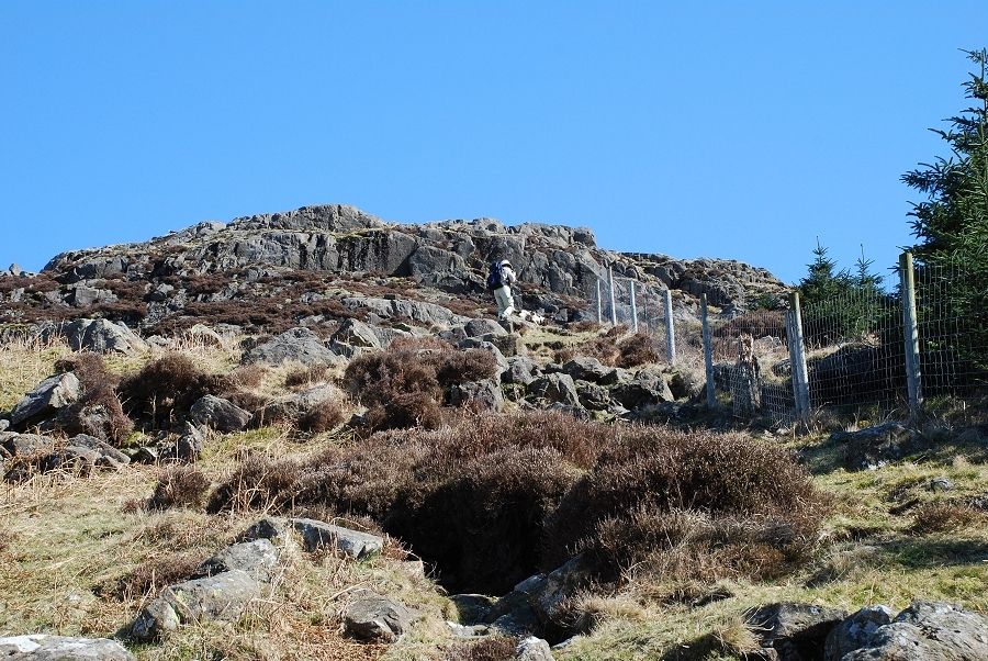 |
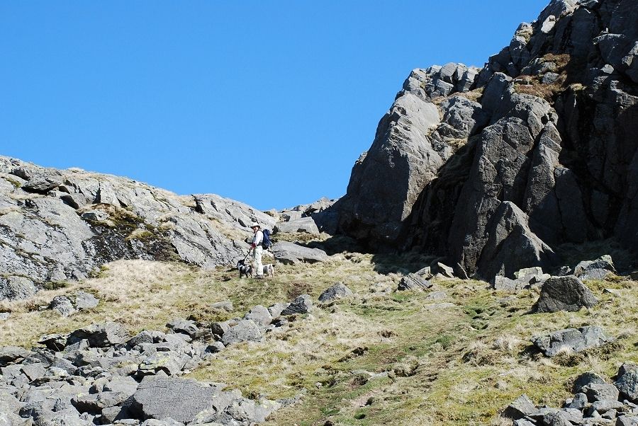
| We turn right to follow the fence up the slopes of Harter Fell |
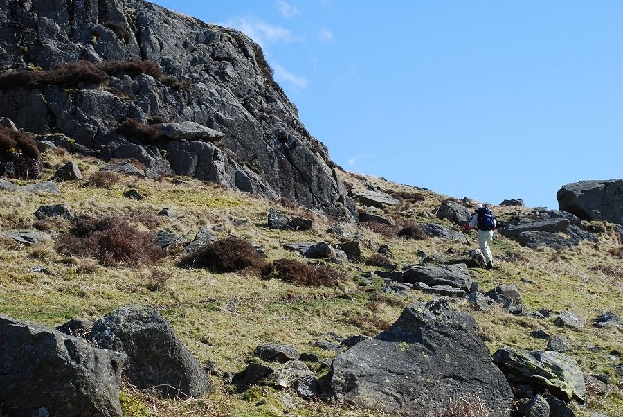 |
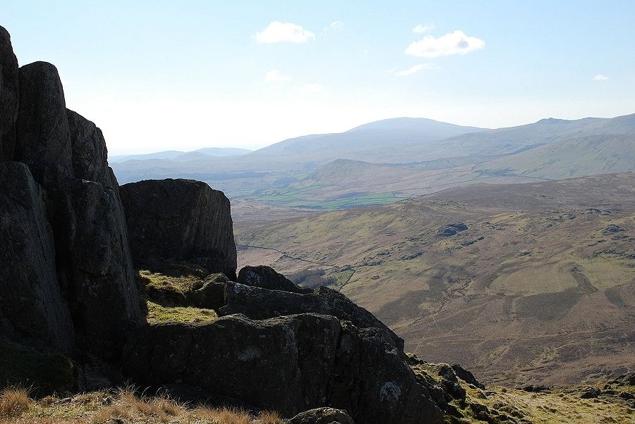
| At the upper limit of the fence we head half right to thread our way through a series of rock outcrops |
 |
| After a passing through the outcrops we reach a level shoulder where the final slopes come into view below the summit ridge |
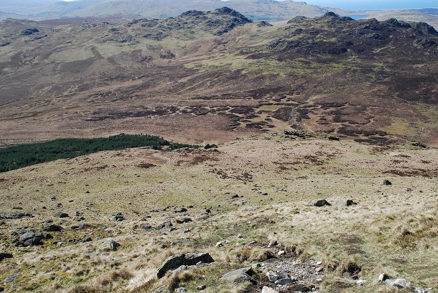 |
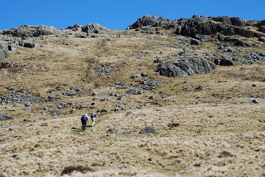
| Looking back to Green and Crook Crags from the climb to the ridge |
 |
| Nearing the top of the steep ascent to the summit ridge |
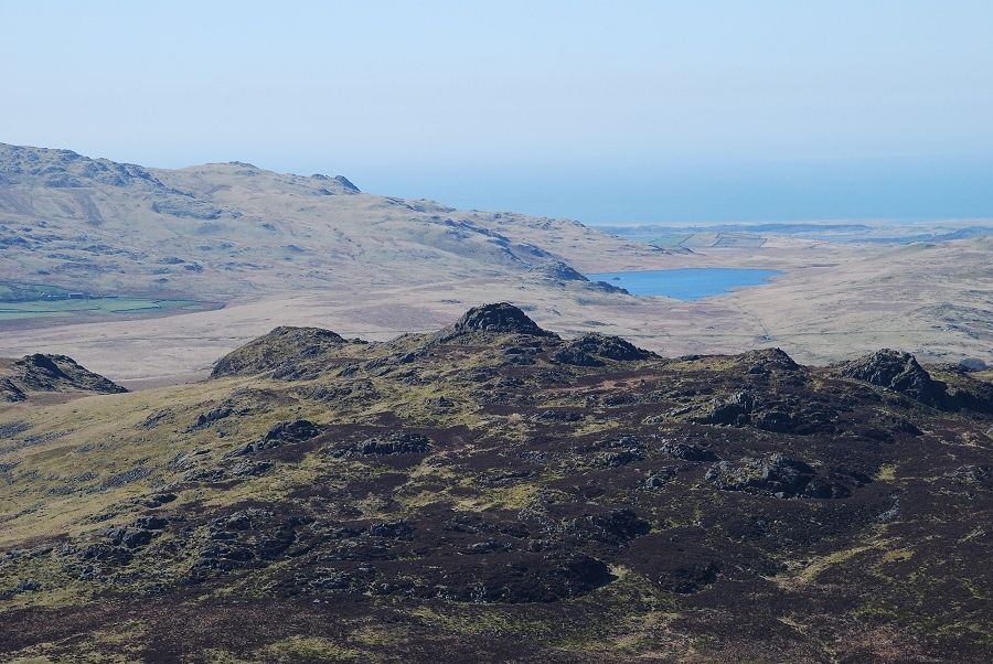 |
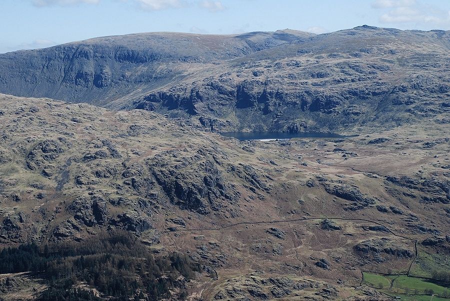
| Looking back over Crook Crag to Devoke Water |
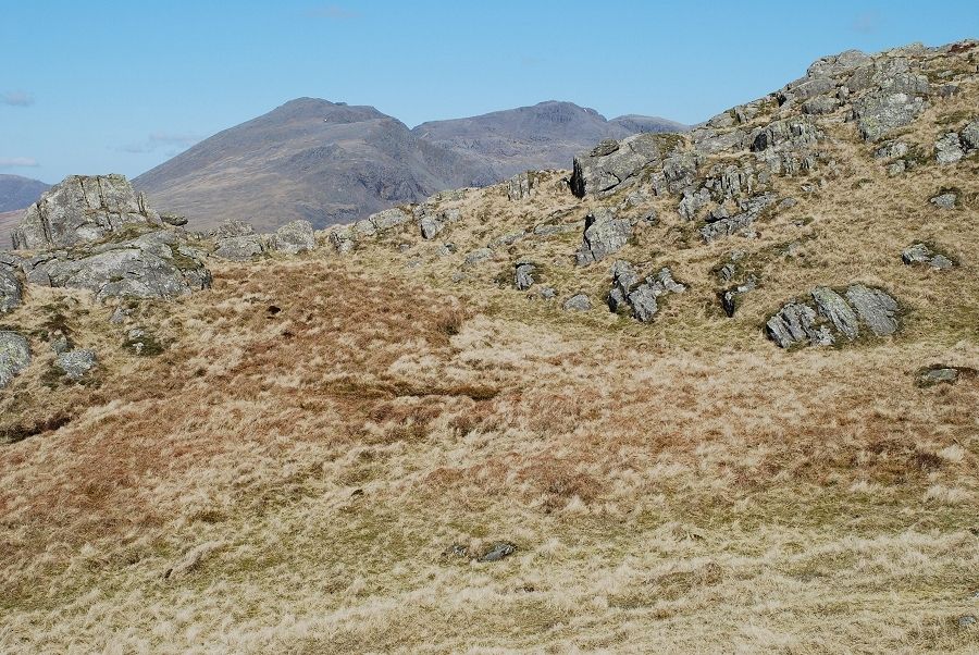 |
| Scafell and Scafell Pike come into view as we reach the line of the north west ridge |
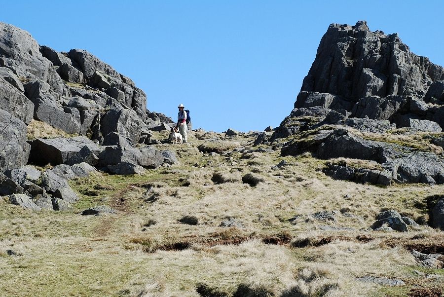 |
| Approaching the summit of Harter Fell which comprises three distinctive rock tors |
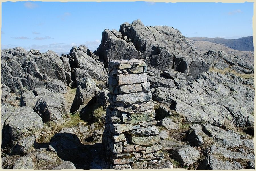 |
| Looking over the trig column from the 'official' summit towards the true summit. Harter Fell is one of the few fells which requires a little rock scrambling to reach the highest point. Harter Fell - page 7 |
 |
| The view looking north to upper Eskdale |
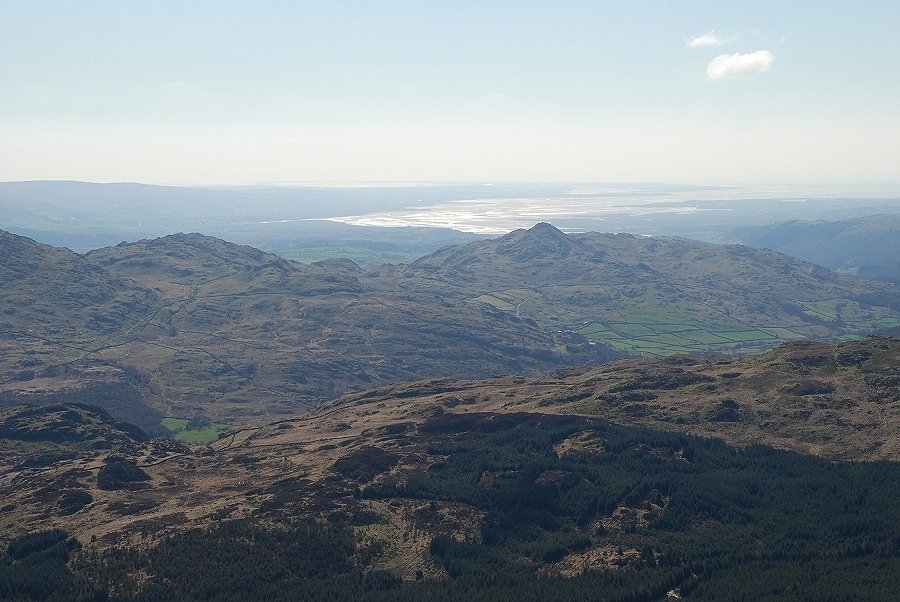 |
| Looking south to Stickle Pike and the Duddon Estuary and then turning clockwise to take in the rest of the view |
 |
| The distant bulk of Black Combe across the Ulpha fells |
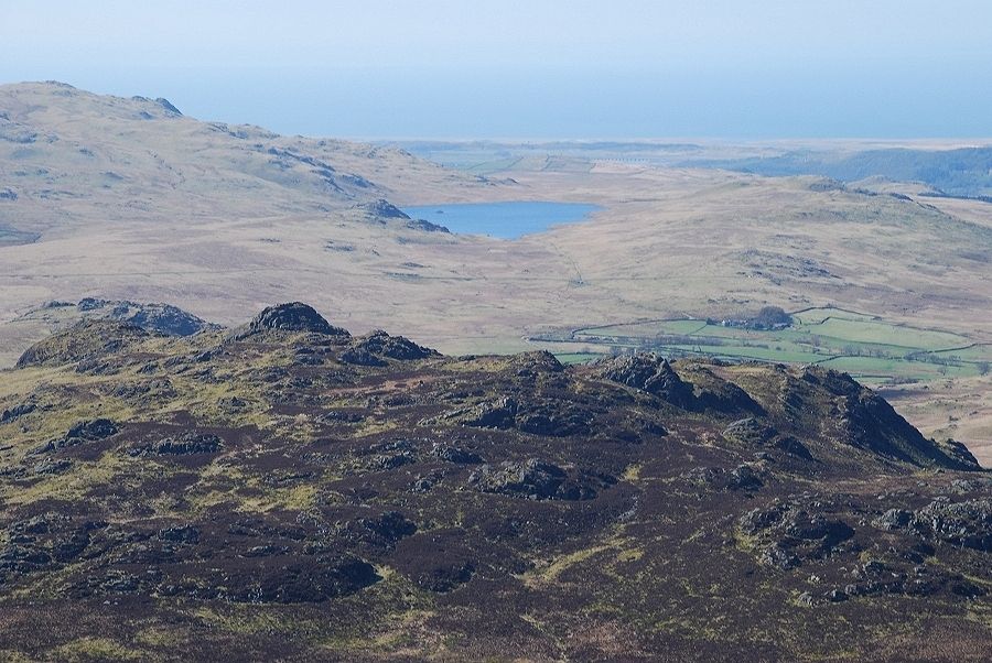 |
| Devoke Water, the largest of the Lakeland tarns |
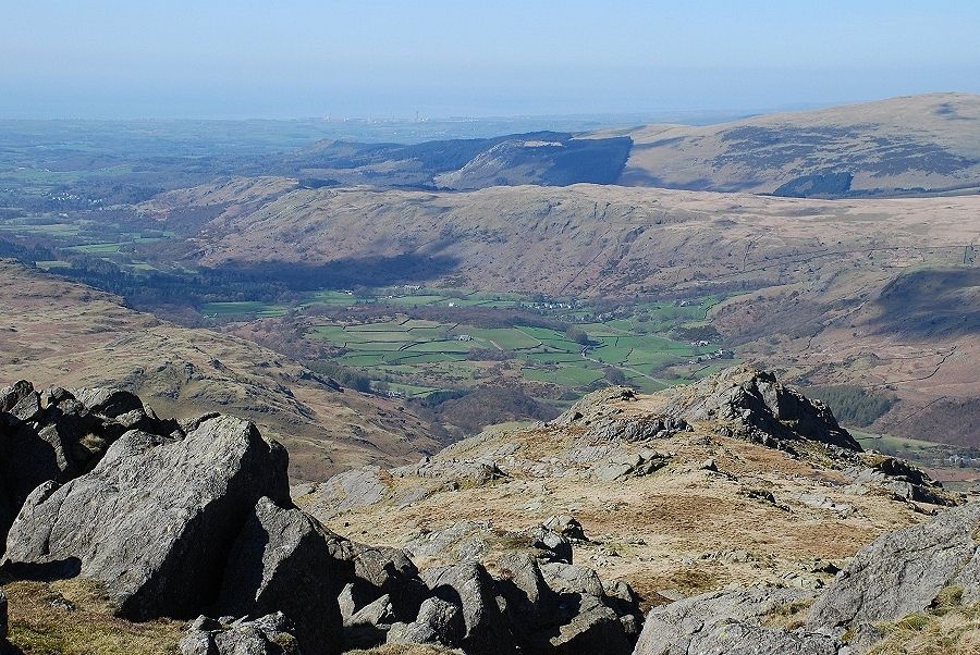 |
| Looking down the north west ridge to the lower reaches of Eskdale |
 |
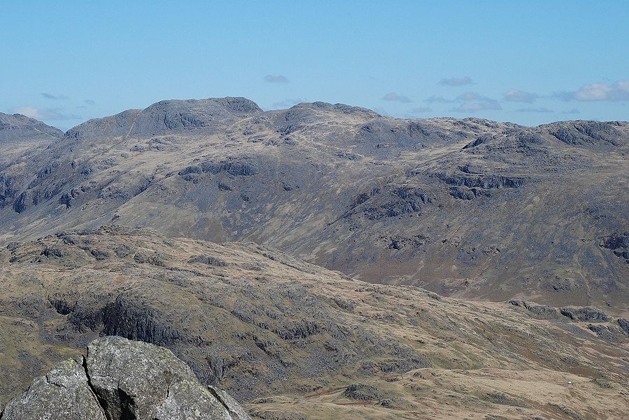
| Pillar across Quagrigg Moss with the slopes of Scafell rising on the right |
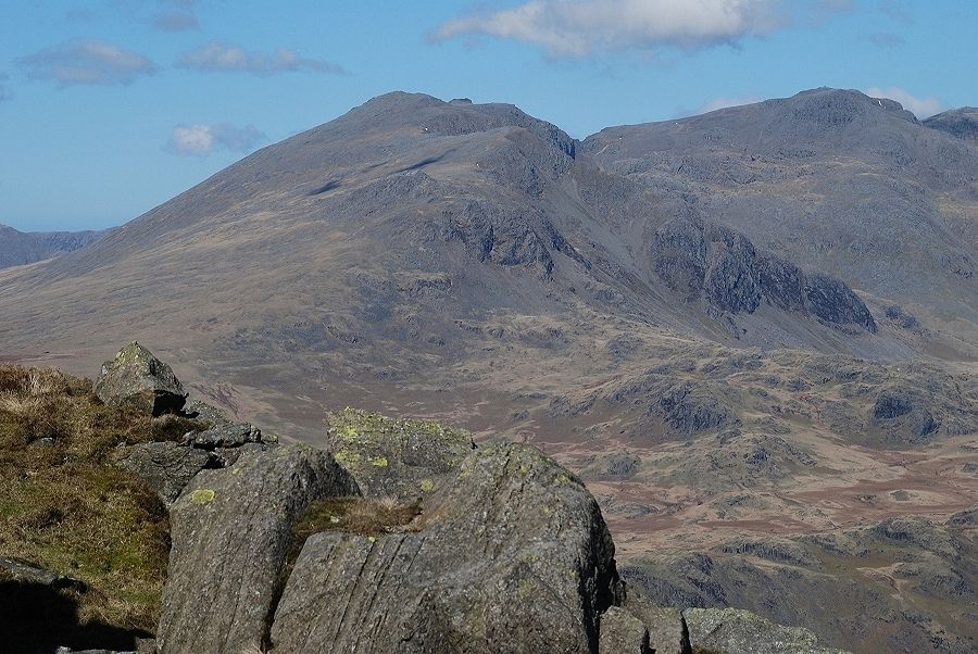 |
| Scafell and Scafell Pike |
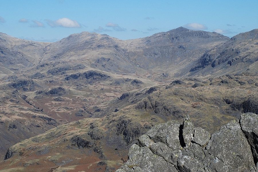 |
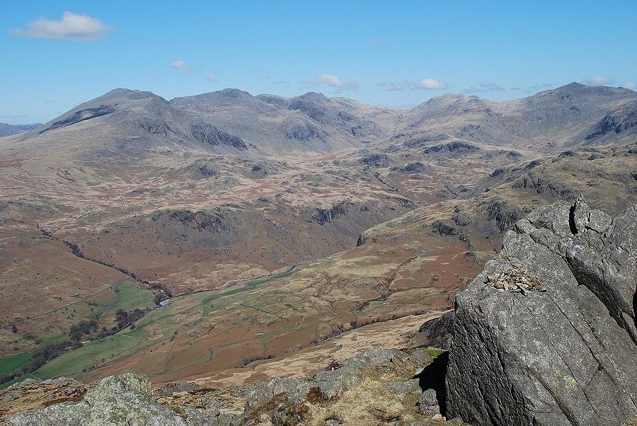
| Esk Pike and Bowfell at the head of Eskdale |
 |
| Crinkle Crags with Hard Knott in the middle left foreground |
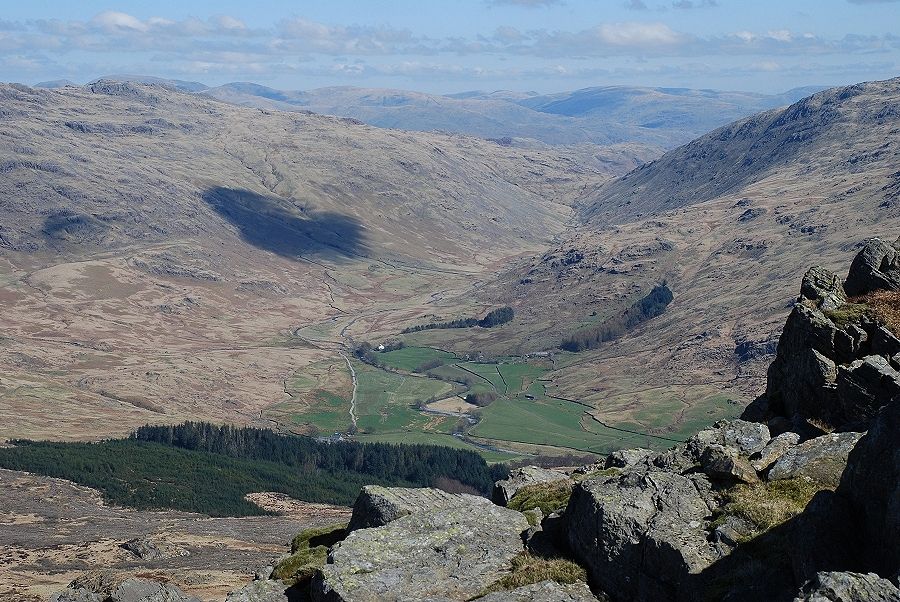 |
| Wrynose Bottom and the green fields of Cockley Beck |
 |
| Grey Friar across the Duddon Valley |
 |
| Seathwaite Tarn below Dow Crag with Brim Fell and Coniston Old Man on the left skyline |
 |
| Looking across the Duddon Valley to Brown Pike, Walna Scar, White Maiden and White Pike. |
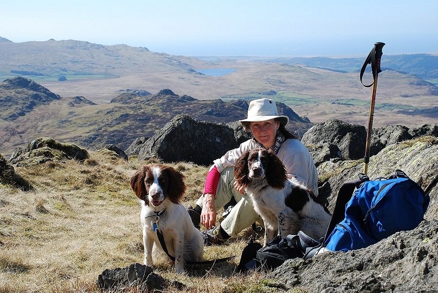 |
| My guide for today, Kate with Jasper the "sprocker" and Conor the springer pup |
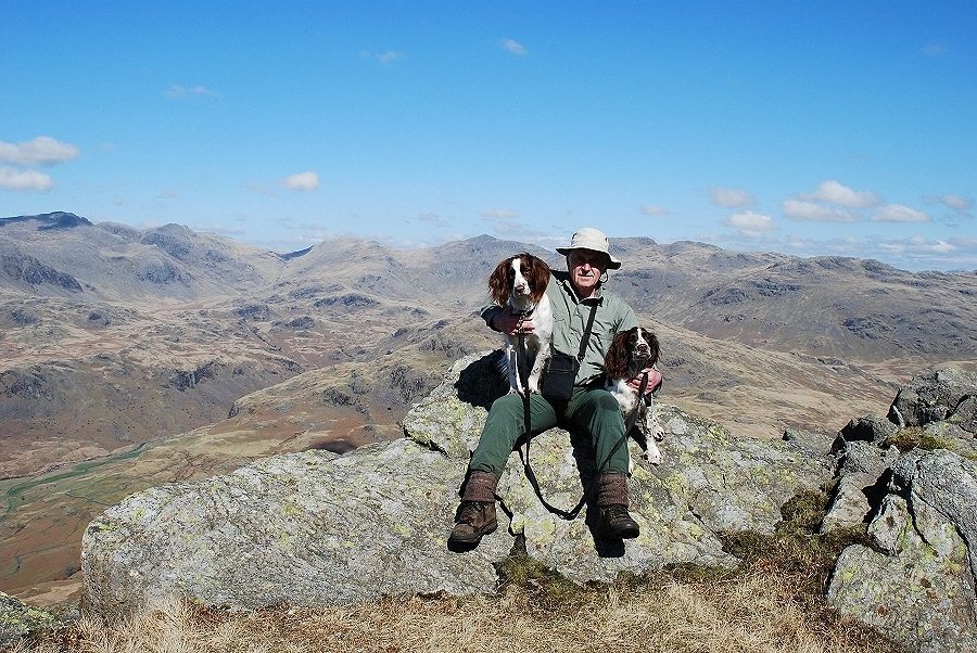 |
| Me hanging on to dogs who are eagerly awaiting their biscuit lunch! |
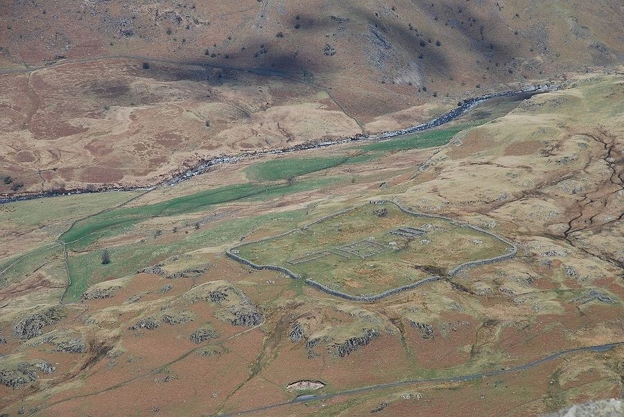 |
| And lastly, a close up of the remains of Mediobogdum, the Roman fort above the Hardknott Pass road. Built during the reign of Hadrian, abandoned during the Antonine advance into Scotland, sacked by the Brigantes in 197 AD, reoccupied by the Romans a few years later, abandoned again in the late 4th century and the stonework pillaged by dales folk thereafter! Now maintained by English Heritage on behalf of The National Trust |
|