 |
| The small National Trust car park at Park Brow is the starting point for this walk |
 |
| Directly opposite the entrance to the car park a stile gives access to a path through Glencoyne Park |
 |
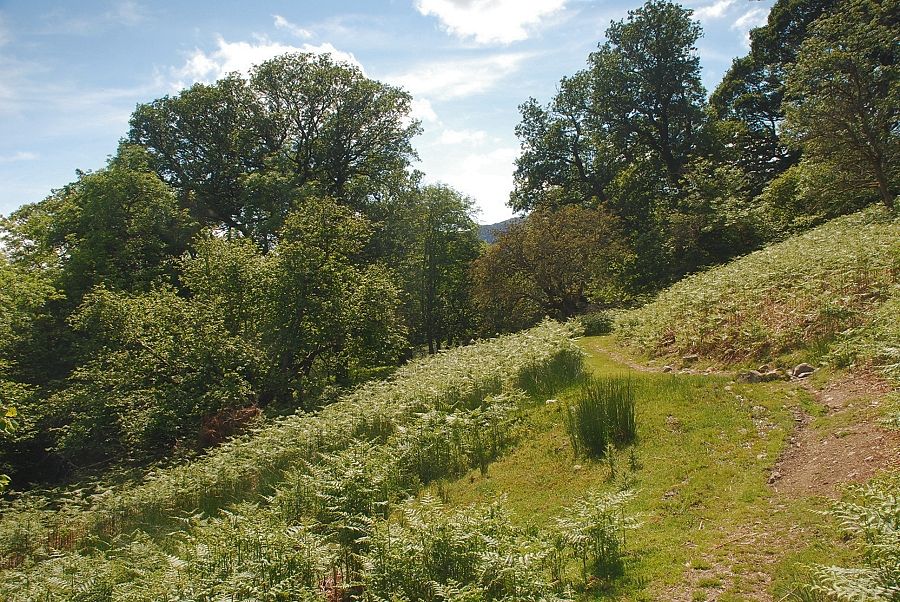
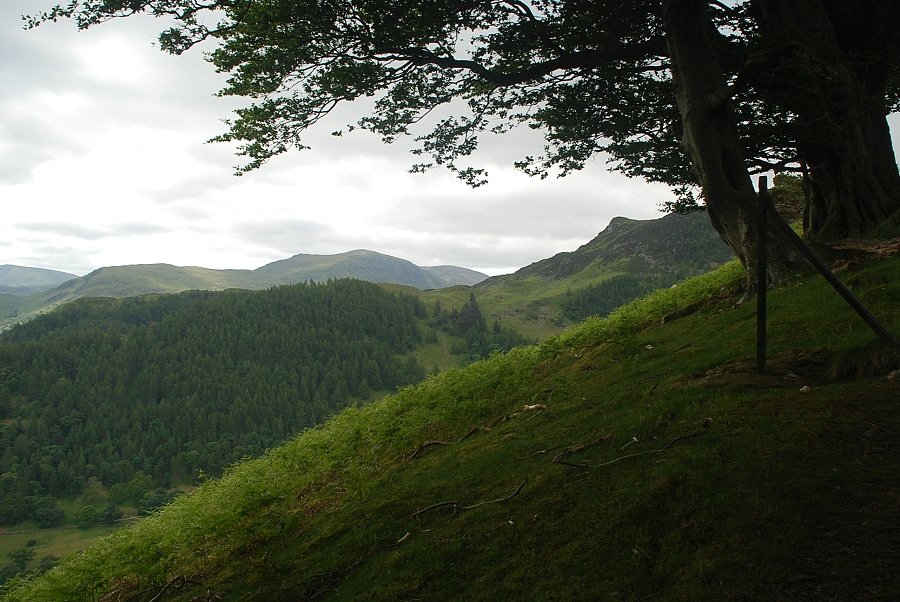
| The path passes through mixed woodland with occasional views over to Ullswater and the surrounding fells |
 |
| The path, once very overgrown and neglected, has become more popular in recent years |
 |
| Looking back towards Gowbarrow Fell |
 |
| Ullswater from Glencoyne Park |
 |
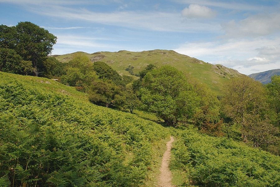
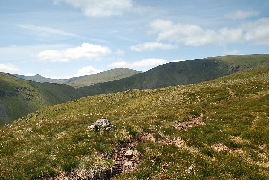
| The path fords a number of shallow gills as it climbs towards Brown Hills and Swineside Knott, seen here on the skyline |
 |
| Looking back across Ullswater to Arthur's Pike and Bonscale Pike |
 |
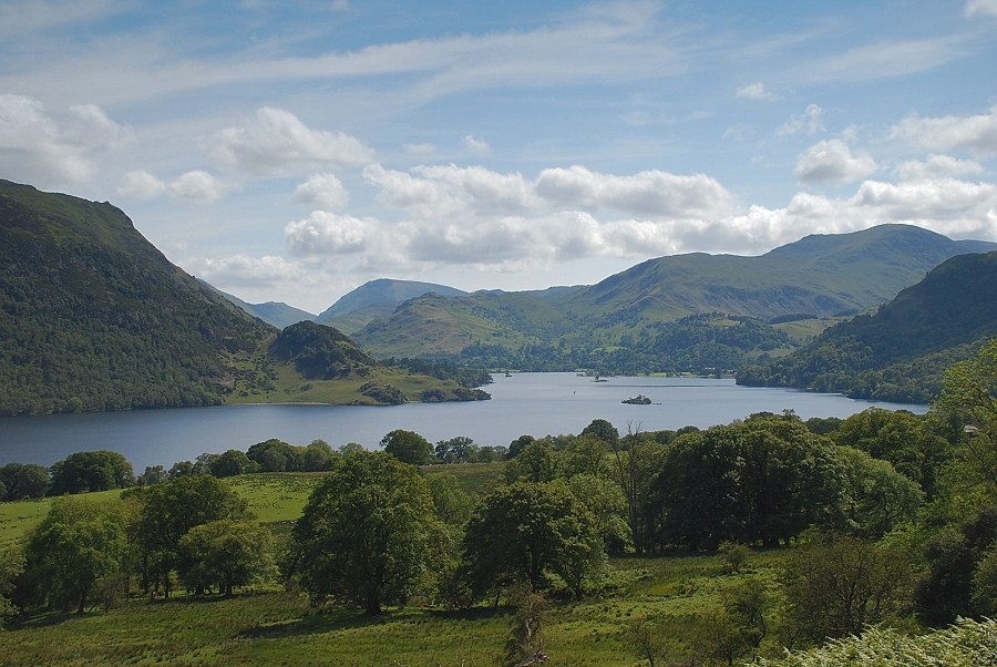
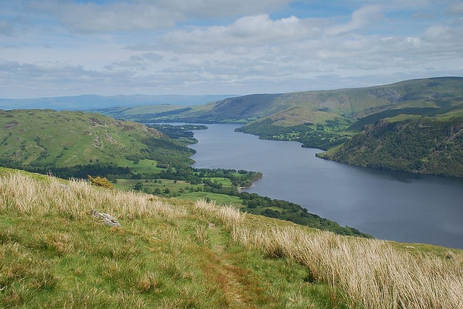
| The head of Ullswater from Glencoyne Park |
 |
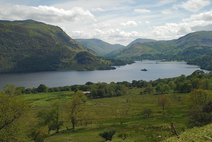
| The lower reaches of Ullswater from Glencoyne Park |
 |
| Looking down to Glencoyne Farm |
 |
| In a little over one mile from the car park the path reaches a stile and enters a small plantation of mature beech trees |
 |
| Looking over to St. Sunday Crag from the beech wood |
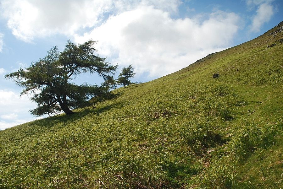 |
| Above the beech wood the path begins the steep ascent of Glencoyne Brow passing a line of windswept larches on the way |
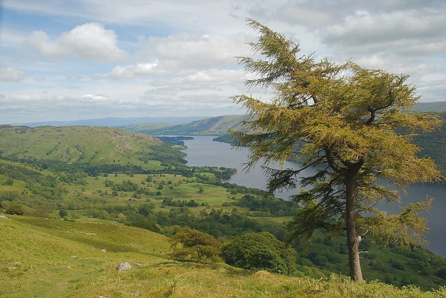 |
| Looking back to Ullswater from Glencoyne Brow |
 |
| The head of Ullswater from Glencoyne Brow |
 |
| Gowbarrow Fell from Glencoyne Brow |
 |
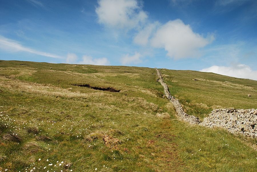
| Above the larch trees the slope eases as the path reaches the top of Glencoyne Brow |
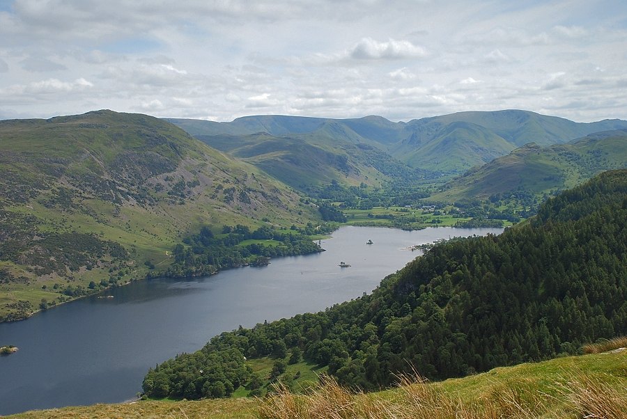 |
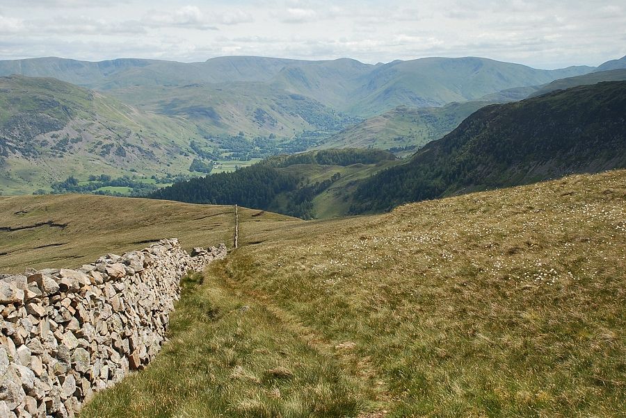
| The head of Ullswater and Patterdale from the top of Glencoyne Brow |
 |
| The path crosses the Glencoyne Park boundary wall to join the miners' path which starts from Dockray |
 |
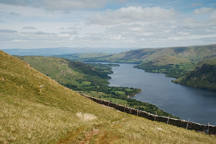
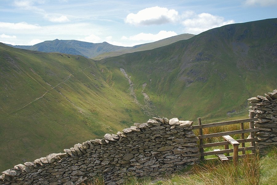
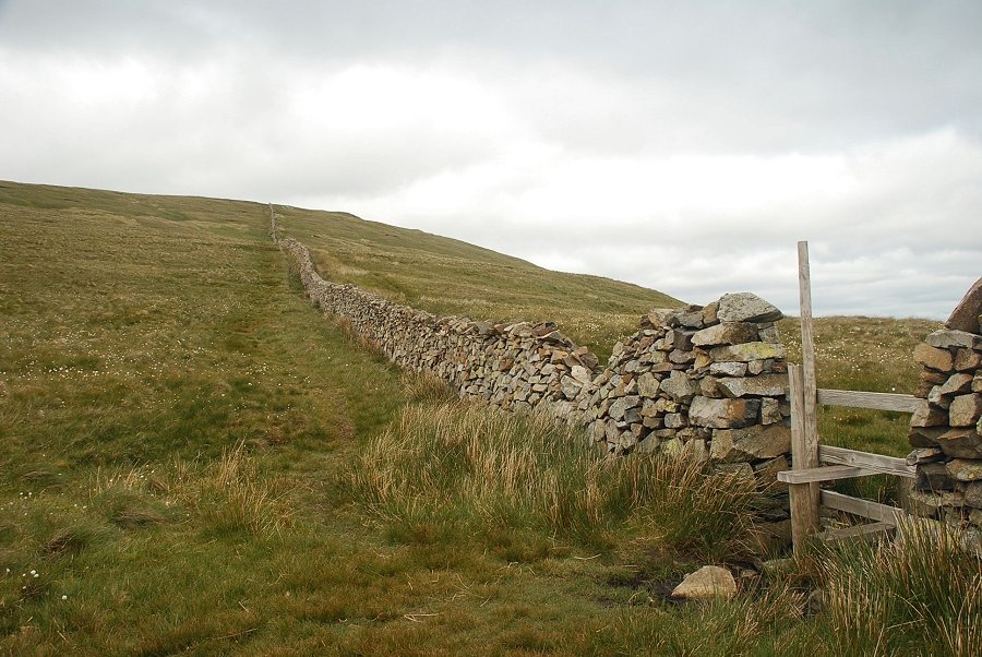
| Looking back along the Glencoyne Park boundary wall. Swineside Knott on the left is a fine viewpoint for Ullswater |
 |
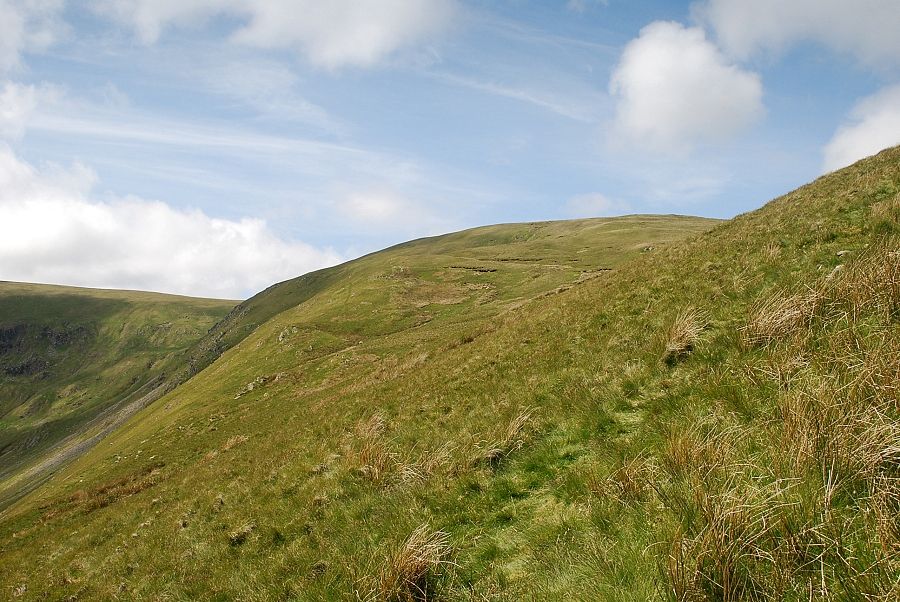
| The wall is only followed for a short distance before the path breaks away to traverse below Brown Hills |
 |
| St. Sunday Crag across Sheffield Pike from the path below Brown Hills |
 |
| Hart Side comes into view with Glencoyne Head and White Stones on the left |
 |
| Helvellyn Lower Man and Raise above the depression of Nick Head from the path over Brown Hills |
 |
| Looking down the slopes of Brown Hills to Place Fell above Ullswater |
 |
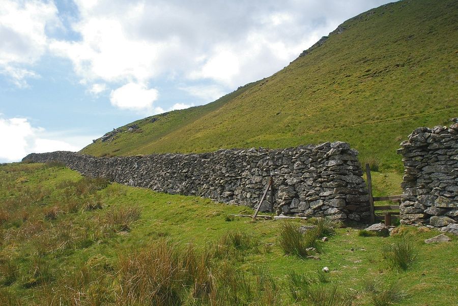
| Eventually the path meets a stile in a newly restored wall |
 |
| The main path continues on across Glencoyne Head, the ascent path follows the wall as it rises steeply over the south-western slopes of Birkett Fell |
 |
| Looking back from the start of the climb alongside the wall |
 |
| At the top of the first steep rise another stile is passed where the path coming up from Dowthwaitehead meets the wall |
 |
| Looking over Nick Head to Catstycam and Helvellyn |
 |
| The wall is followed to its highest point on the ridge |
 |
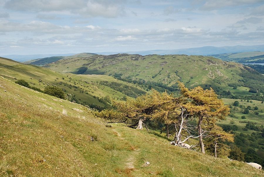
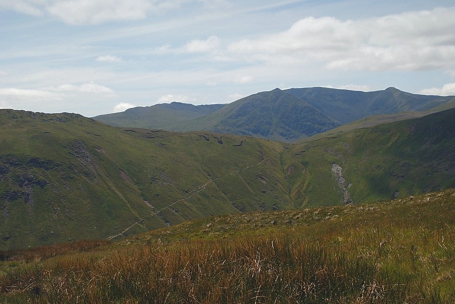
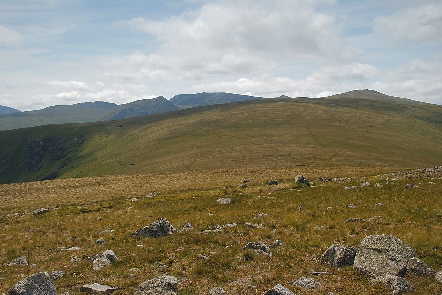
| Looking back to the Far Eastern Fells |
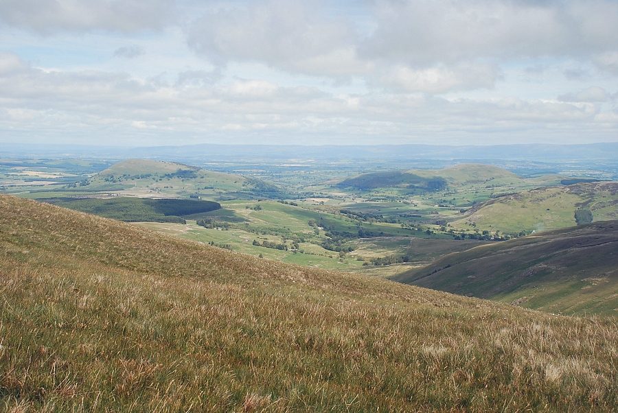 |
| Looking over the wall to Great Mell Fell and Little Mell Fell |
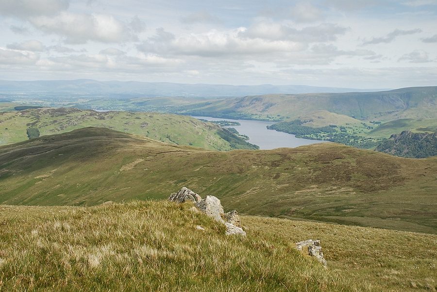 |
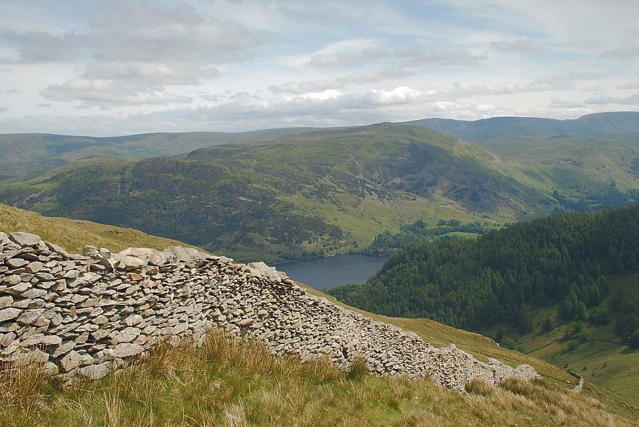
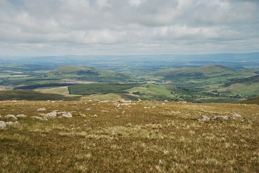
| Ullswater over Common Fell and Swineside Knott |
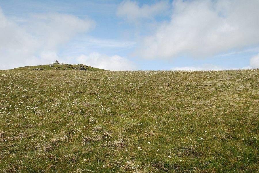 |
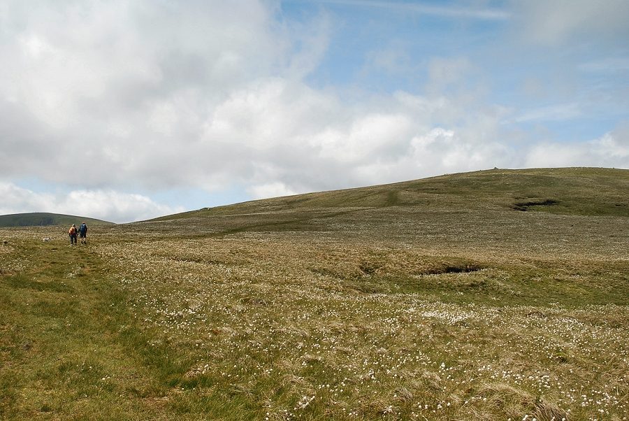
| Near the highest point of the wall the cairn on Birkett Fell comes into view |
 |
| The memorial cairn commemorates Lord Birkett of Ulverston who, in the 1960's, successfully resisted proposals to make Ullswater into a reservoir |
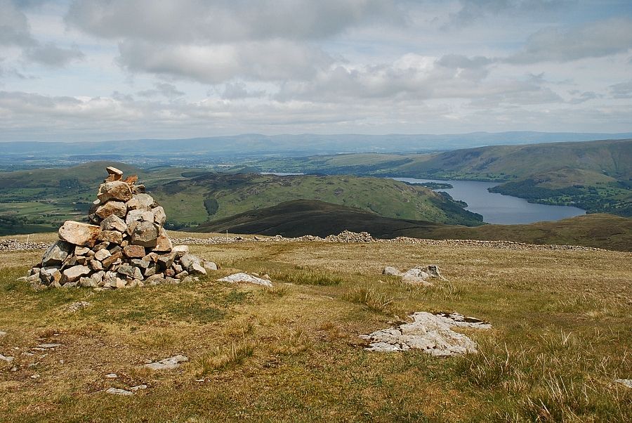 |
| Ullswater from the memorial cairn on Birkett Fell |
 |
| The summit of Hart Side lies to the west of the cairn on Birkett Fell |
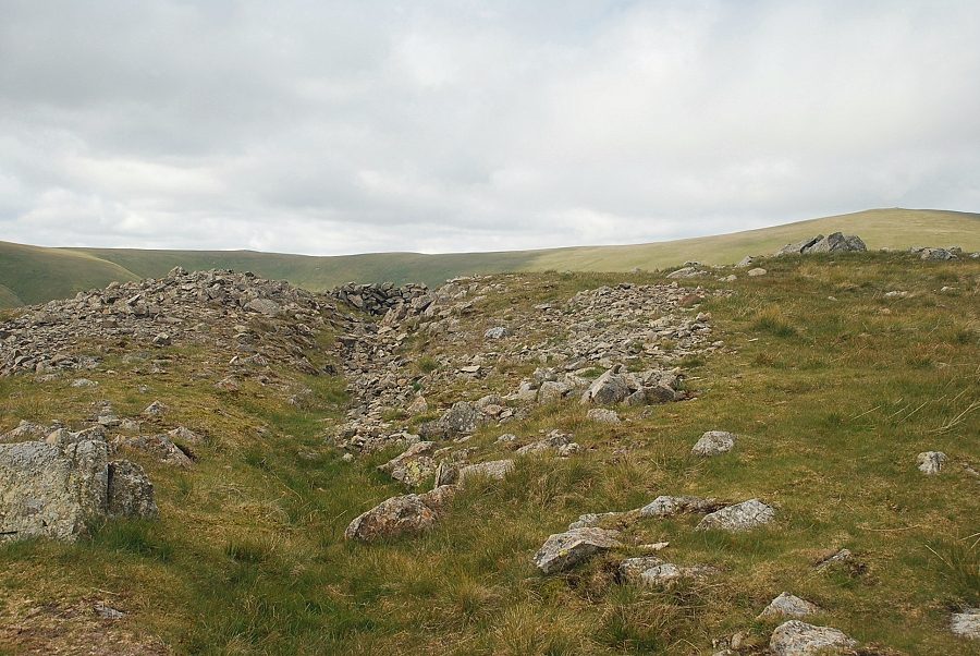 |
| A few yards to the south of the highest point on Hart Side is a long trench which is believed to be a trial working for the Greenside Mine |
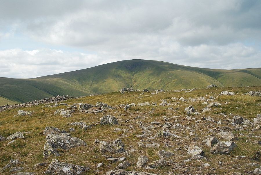 |
| Stybarrow Dodd from the summit of Hart Side |
 |
| Great Dodd from the summit of Hart Side |
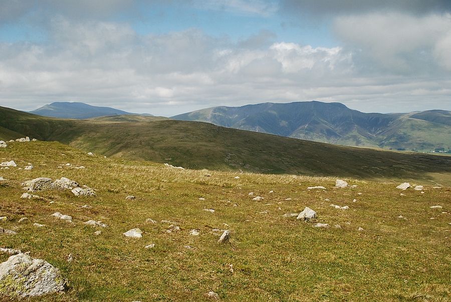 |
| Skiddaw and Blencathra |
 |
| Great Mell Fell and Little Mell Fell from the summit of Hart Side |
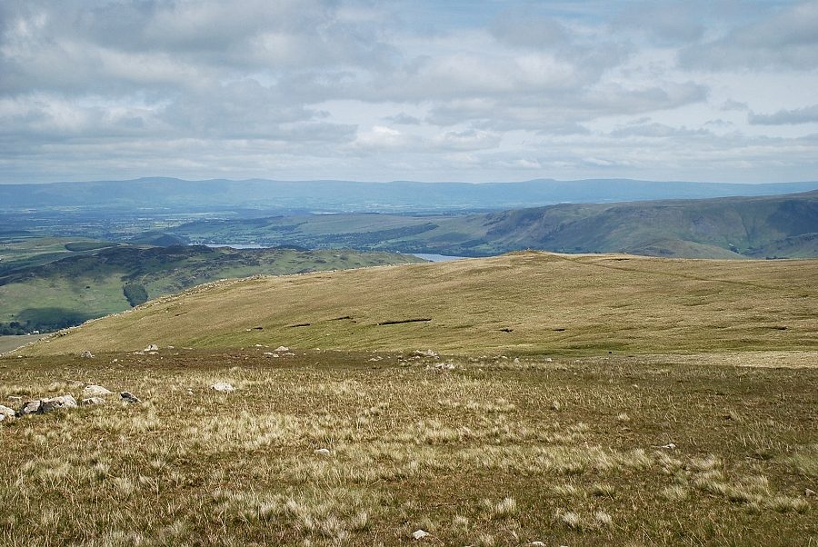 |
| Only two small sections of Ullswater are visible from the summit |
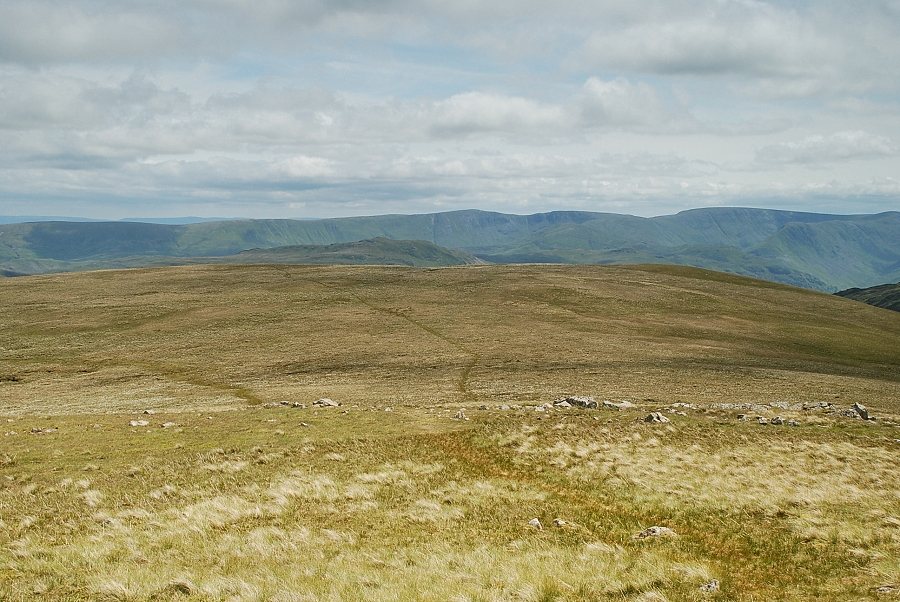 |
| The summit of Place Fell is visible over the summit of Birkett Fell with a long line of Far Eastern Fells from Loadpot Hill to Thornthwaite Crag |
 |
| High Street, Thornthwaite Crag, Caudale Moor and Red Screes on the horizon |
 |
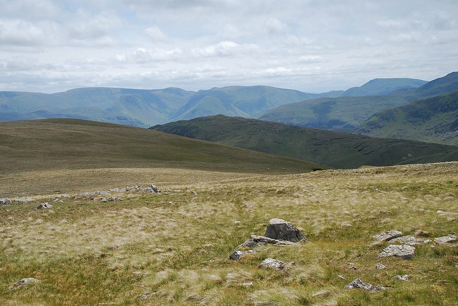
| Catstycam, Helvellyn and Raise over the summit of White Stones |
