
| Helm Crag - Route Two |
| Start - Mill Bridge NY 335 091 | Distance - 1.5 miles | Ascent - 1,110 feet | Time - 1 hour : 10 minutes |
|
|
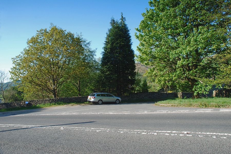 |
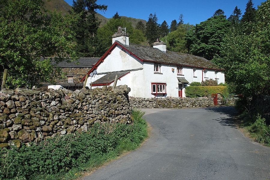
| The start of the walk from Mill Bridge on the busy A591 Grasmere ~ Keswick road. |
 |
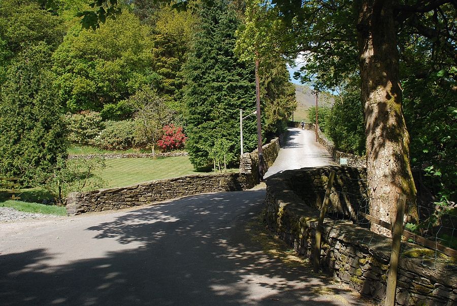
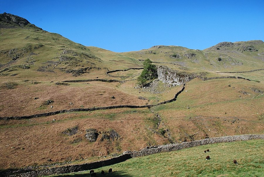
| Walking down the lane towards Low Mill Bridge the steep eastern face of Helm Crag dominates the view ahead |
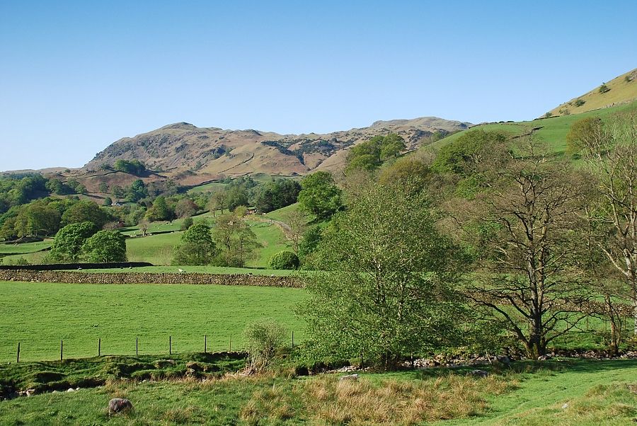 |
| Looking over towards Silver How from near Low Mill Bridge |
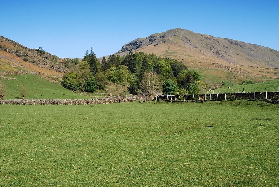 |
| Steel Fell from the lane leading to Ghyll Foot |
 |
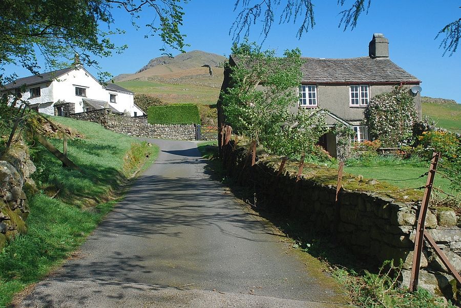
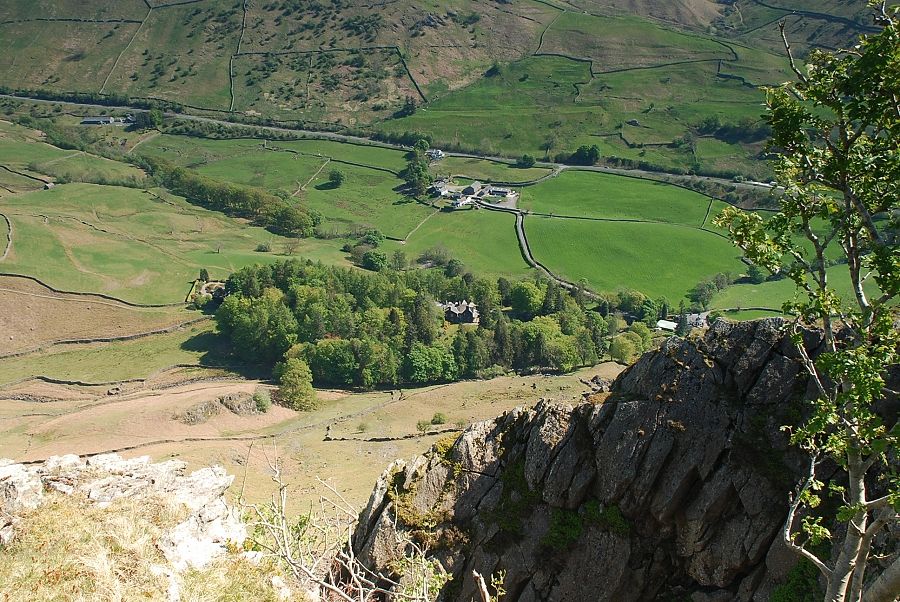
| Ghyll Foot Farm |
 |
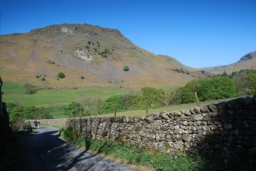
| Past Ghyll Foot Farm and over a bridge bear left onto the lane leading past Helmside towards Turn Howe cottages |
 |
| Turn Howe cottages at the foot of Steel Fell's south-east ridge |
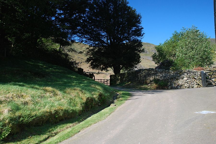 |
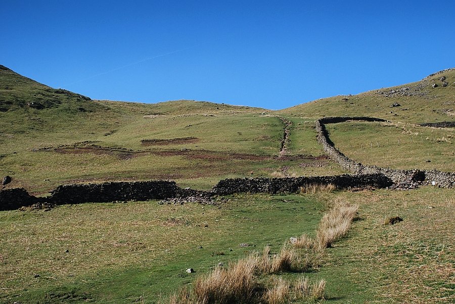
| At the end of the lane a gate gives access to the path running alongside Green Burn |
 |
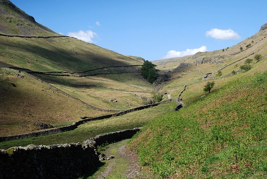
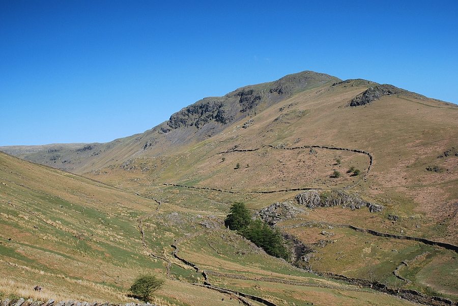
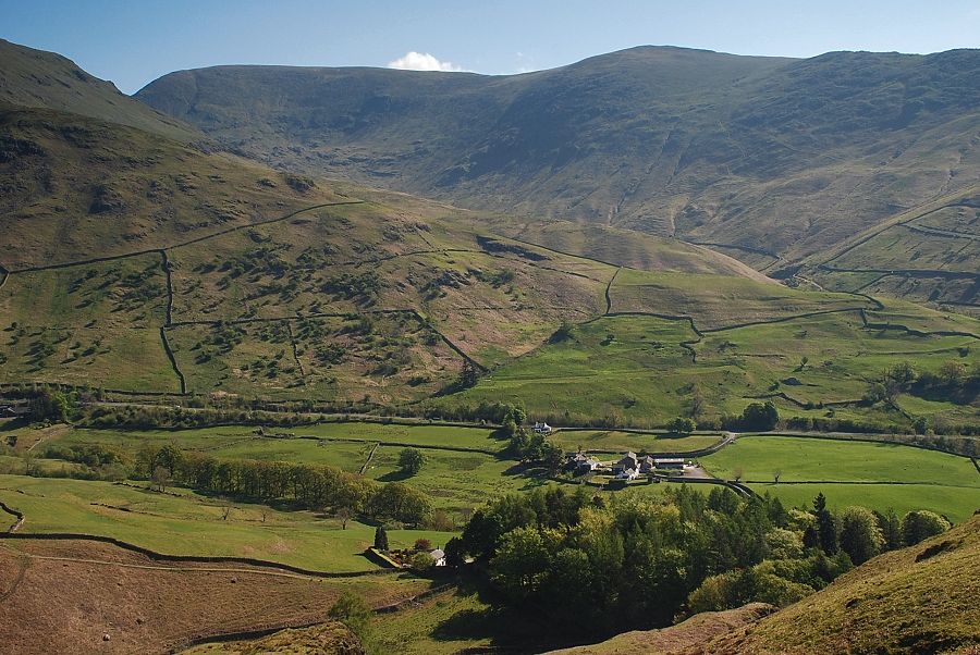
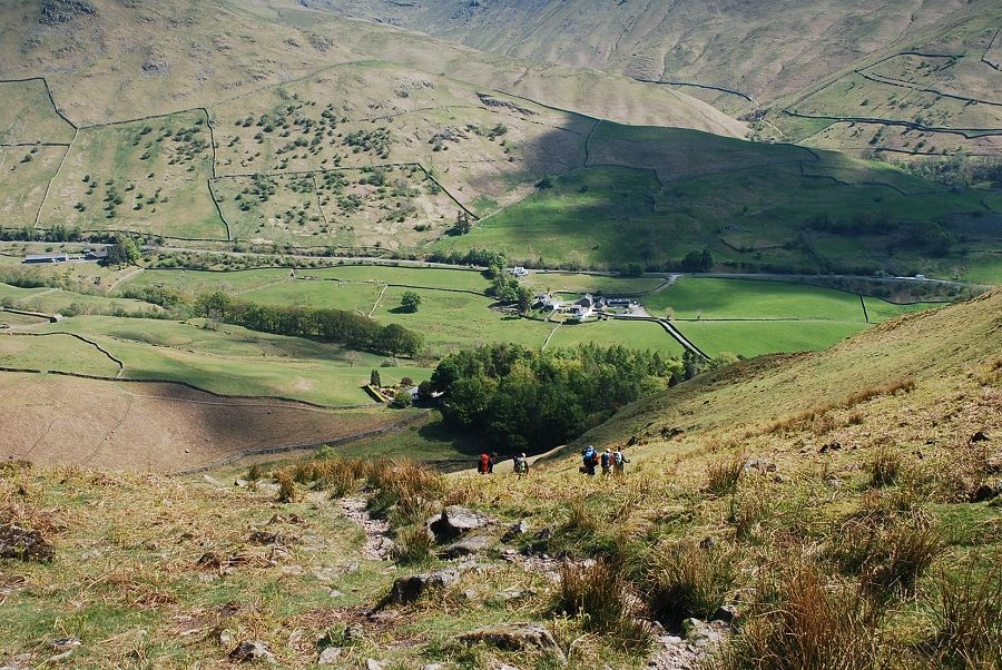
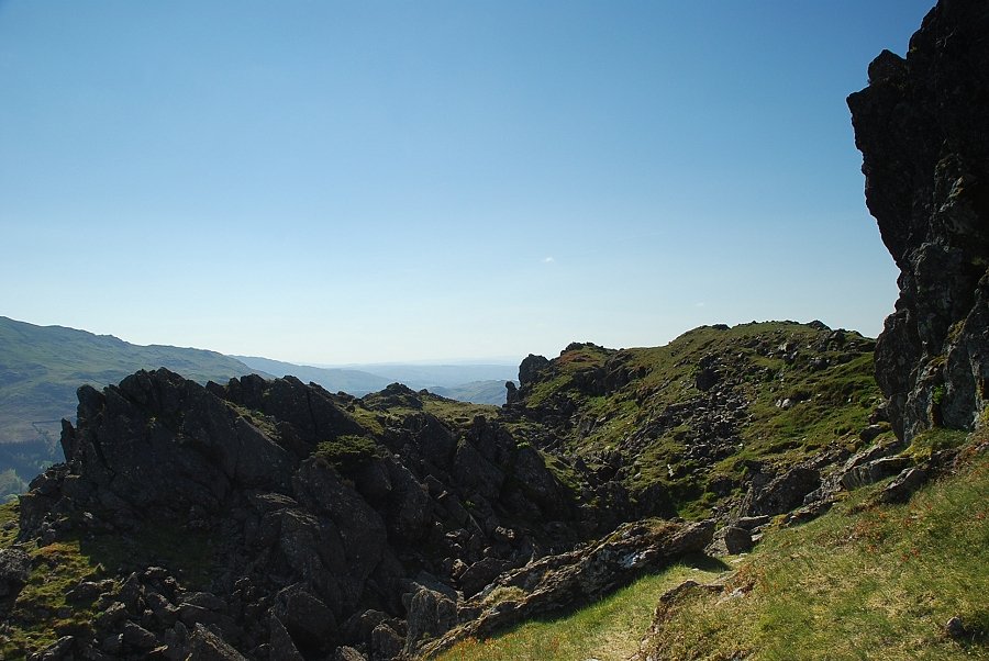
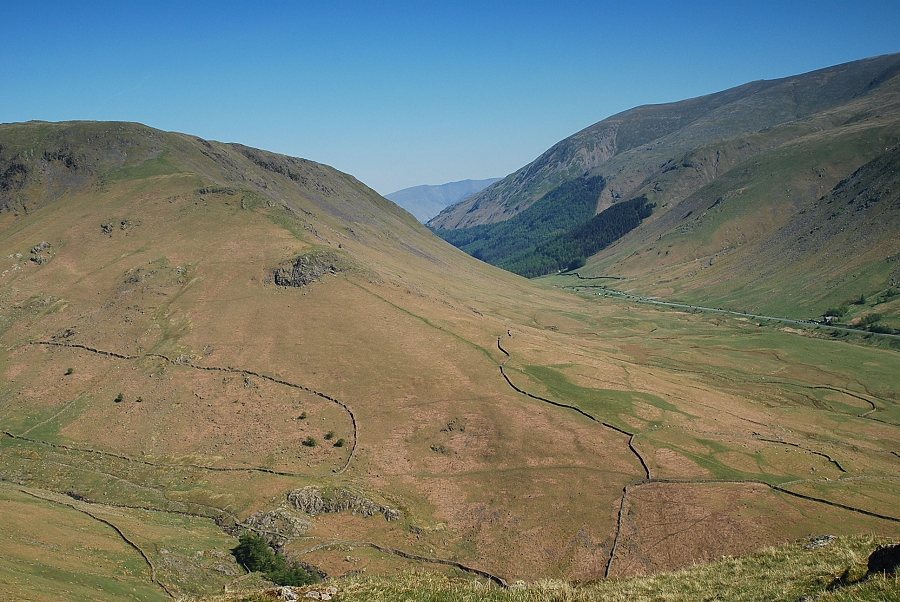
| Looking up to Bracken Hause, the broad col between Helm Crag on the left and Gibson Knott on the right |
 |
| The path alongside Green Burn is only followed for a short distance before bearing left to cross a footbridge above the first waterfall |
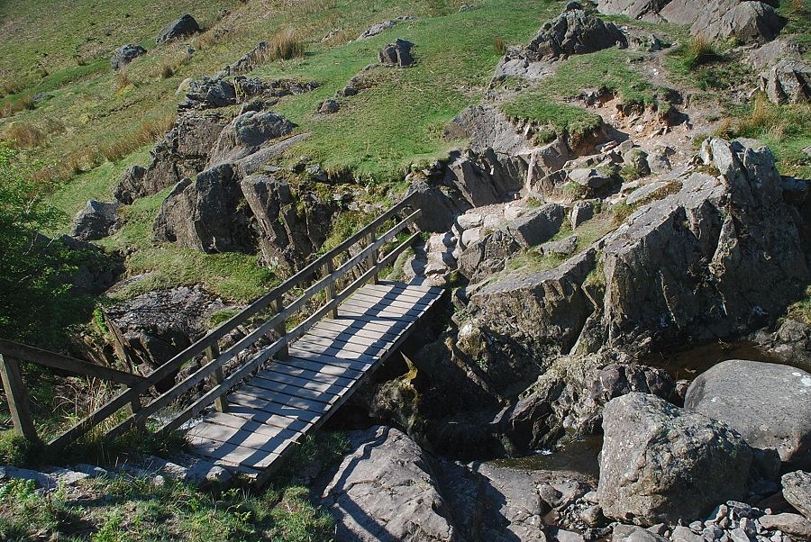 |
| The footbridge over Green Burn |
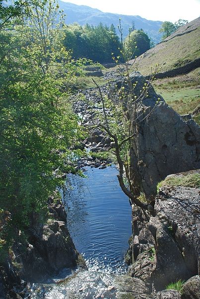 |
| Looking down the waterfall from the footbridge |
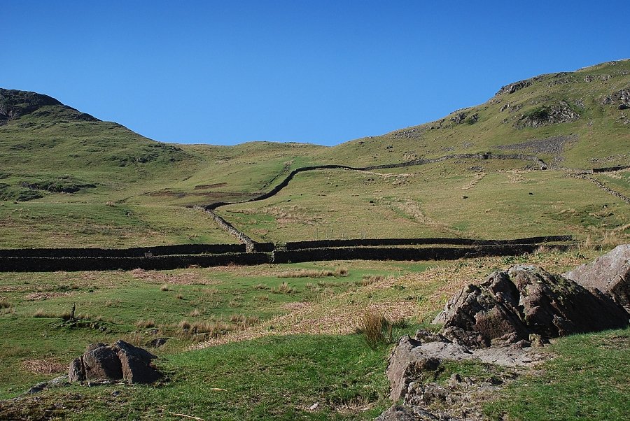 |
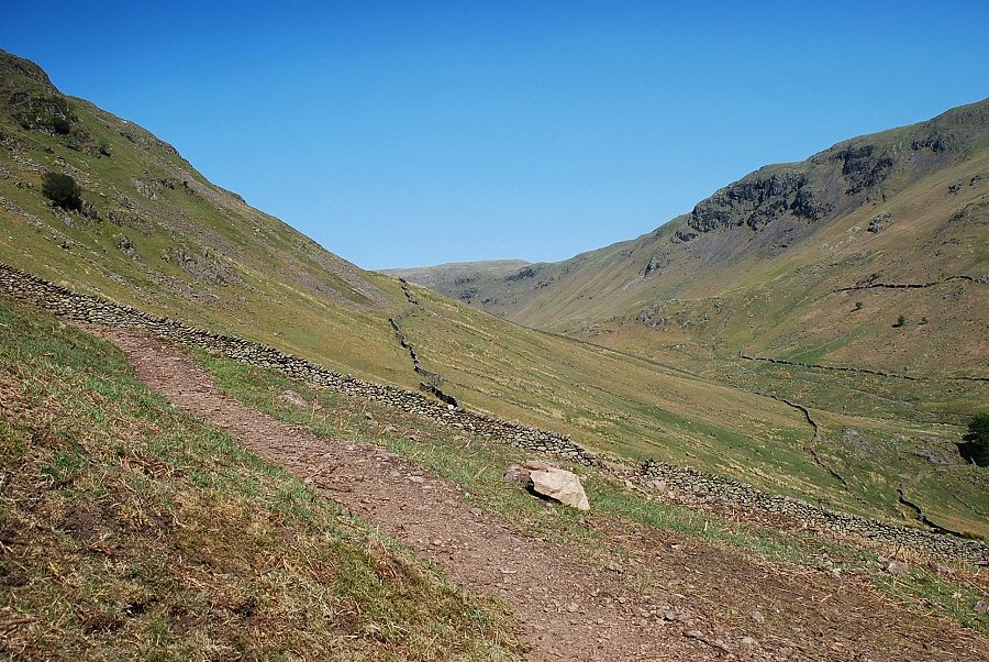
| Looking up to Bracken Hause from the footbridge. The path crosses a field, passes through an outgang lane and climbs directly up the steep slope |
 |
| Looking over to Stone Arthur and Heron Pike |
 |
| Looking back from the climb to Bracken Hause, the footbridge over Green Burn can be seen on the lower right |
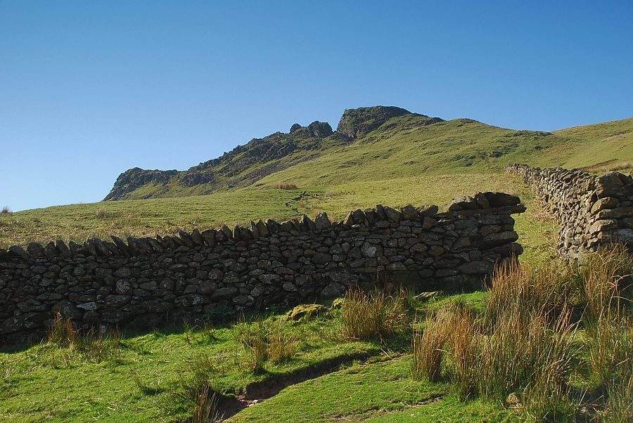 |
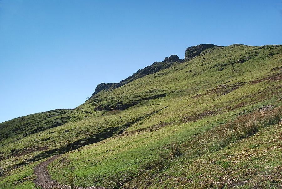
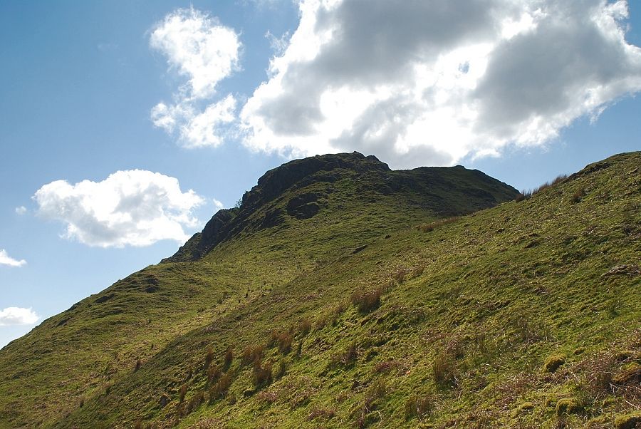
| Helm Crag from the outgang lane |
 |
| Steel Fell from the outgang lane |
 |
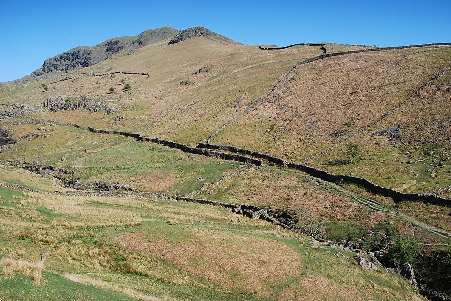
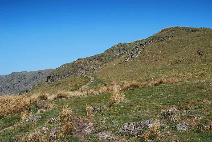
| The upper part of the path has been badly eroded. The local Fix the Fells team are constructing a new "bench" path which can be seen traversing the slopes over to the left |
 |
| At the time of this walk the work is ongoing and appears to be being done manually with no sign of a mechanical digger in use. The first section of the path has been completed and is beginning to blend into the slope which has been re-seeded |
 |
| Work on the path is still underway on the upper slope |
 |
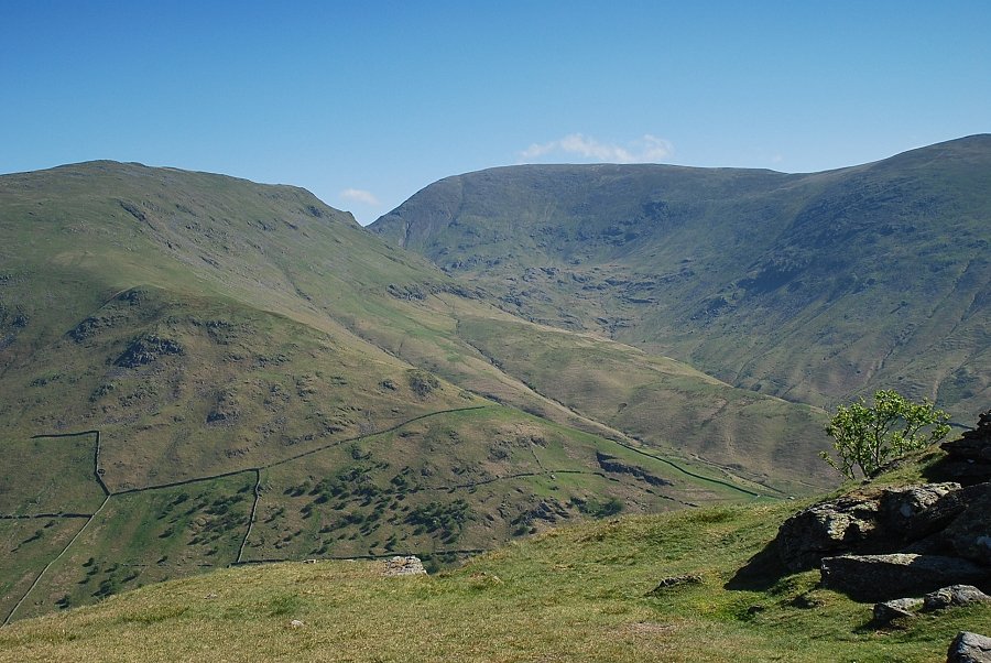
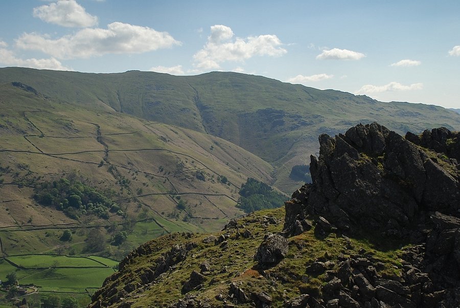
| Looking back from the climb to Bracken Hause, Fairfield and Great Rigg over the slopes of Seat Sandal |
 |
| Looking up to the summit of Helm Crag |
 |
| Great Castle How and Blea Rigg come into view over Bracken Hause |
 |
| Blea Rigg, Harrison Stickle and Pavey Ark from Bracken Hause |
 |
| Walkers descending to Greenburn from Bracken Hause |
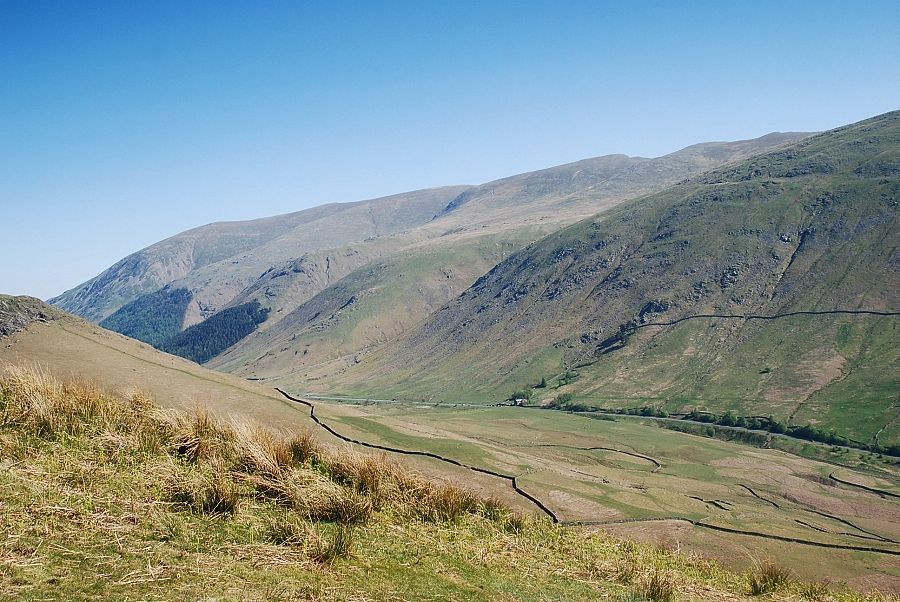 |
| Dunmail Raise from Bracken Hause |
 |
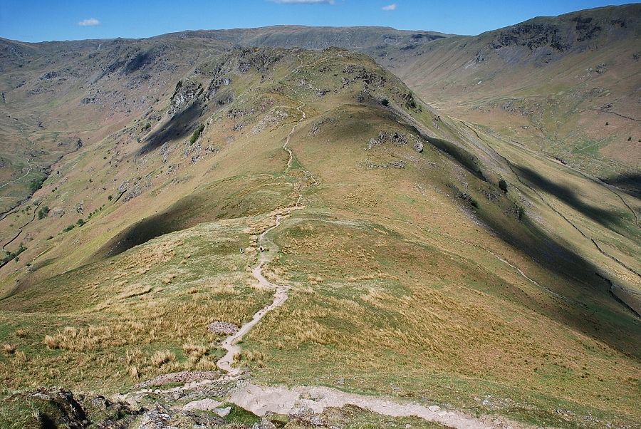
| The ridge path from Bracken Hause leading on to Gibson Knott and Calf Crag |
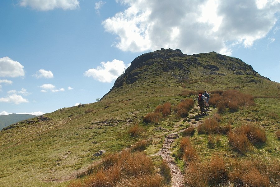 |
| Continuing on from Bracken Hause towards the summit of Helm Crag |
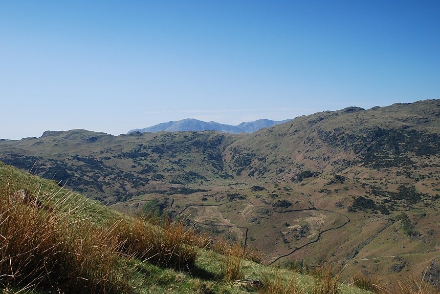 |
| On the climb to the summit of Helm Crag the Coniston fells appear over the ridge between Lang How and Little Castle How |
 |
| Higher on the path to Helm Crag looking down to Bracken Hause |
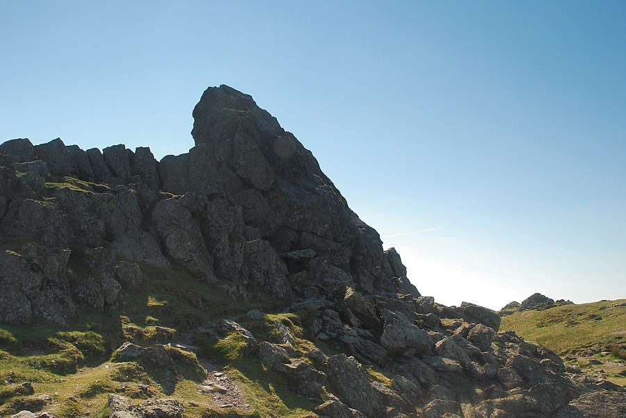 |
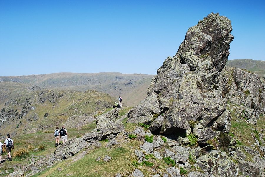
| The Howitzer, the summit of Helm Crag |
 |
| Seat Sandal and Fairfield from the summit ridge |
 |
| Looking down the steep gully near The Howitzer |
 |
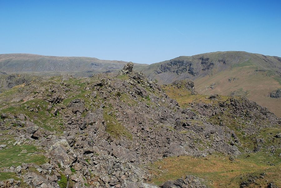
| The view along the summit ridge from behind The Howitzer. The rocks known as The Lion and the Lamb can be seen at the far end of the ridge |
 |
| Looking across to Stone Arthur and Heron Pke |
 |
| Heading along the summit ridge towards the Lion and the Lamb. Untill now the summit had been deserted but a number of walkers were beginning to appear having ascended from Grasmere |
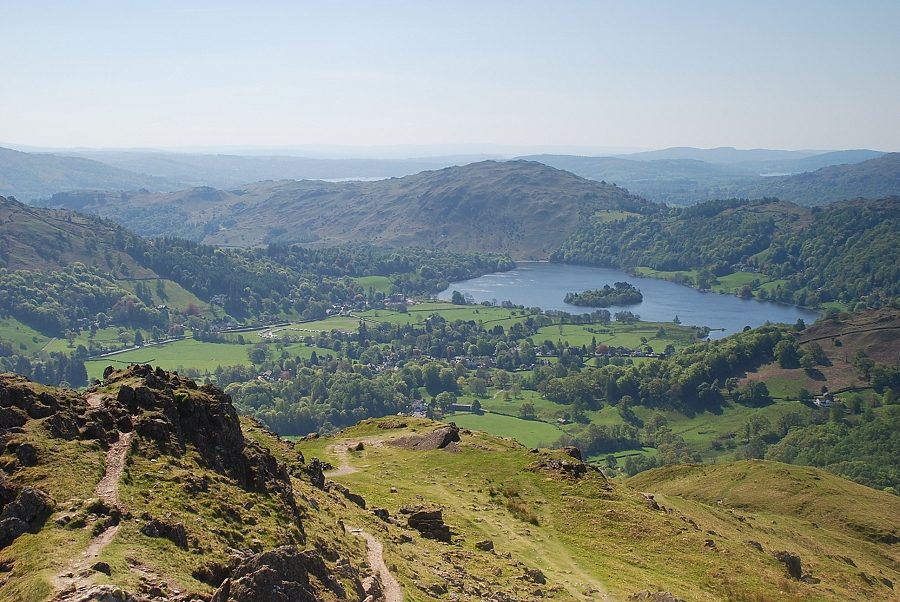 |
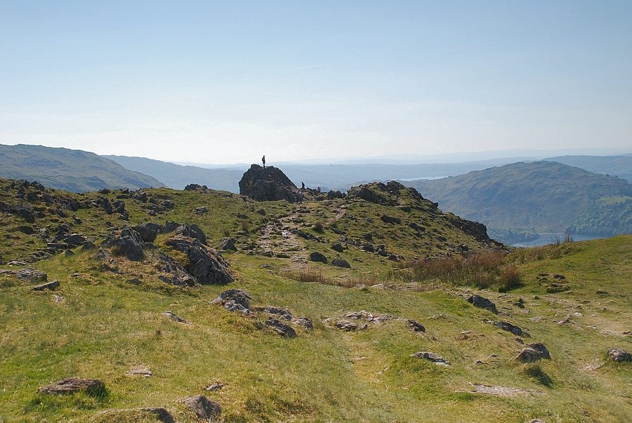
| Grasmere from the Lion and the Lamb |
 |
| Looking back to the Howitzer from the Lion and the Lamb |
 |
| The Howitzer from the south |
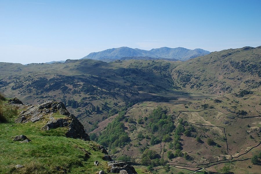 |
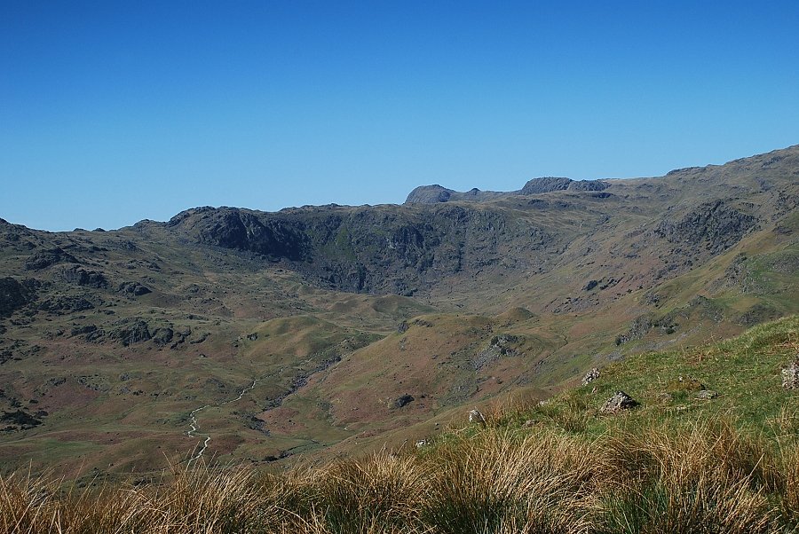
| The Coniston fells over the Lang How ~ Little Castle How ridge |
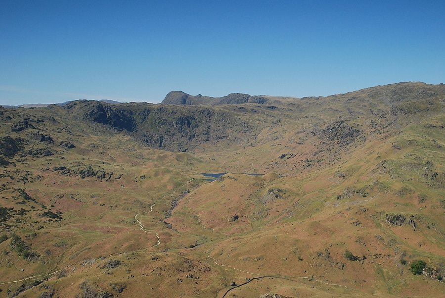 |
| Easedale Tarn below Blea Rigg |
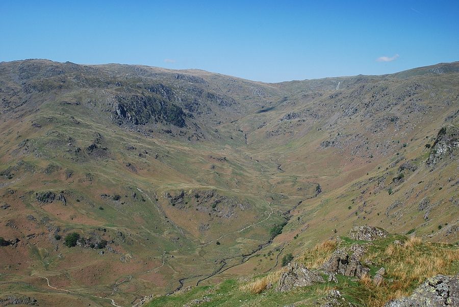 |
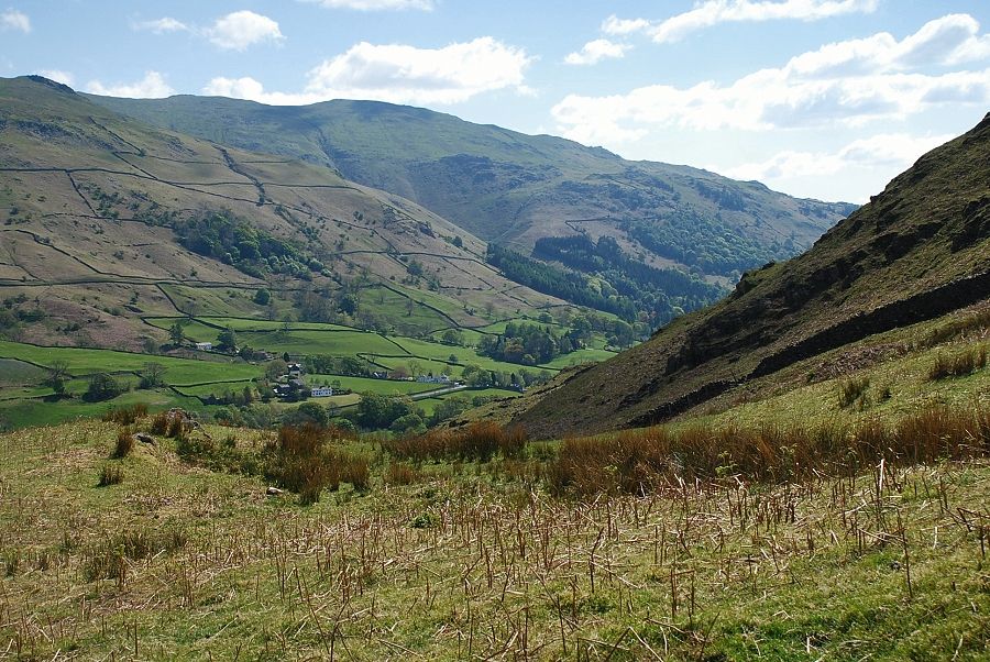
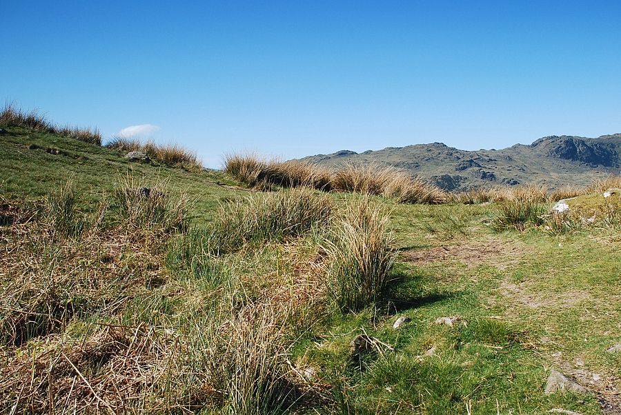
| Upper Far Easedale |
 |
| Looking north to Steel Fell |
 |
| Gibson Knott and the ridge leading over Pike o' Carrs to Calf Crag with Ullscarf on the centre horizon |
 |
| Blencathra appears between the slopes of Steel Fell and Helvellyn |
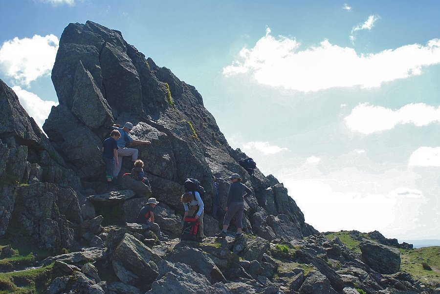 |
| There were a few walkers making an attempt to climb the Howitzer. Despite several attempts AW never managed to climb it and wrote - " The uppermost inches of Scafell and Helvellyn and Skiddaw can show nothing like Helm Crag's crown of shattered and petrified stone : indeed, its highest point, a pinnacle of rock airily thrust out above a dark abyss, is not to be attained by walking and is brought underfoot only by precarious manoeuvres of the body" |
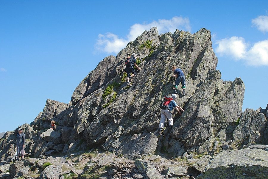 |
| The route up the central slab has an awkward start and easier finish, the right side, an easy start and awkward finish but feels more exposed - you take your choice! Getting back down safely is much harder than going up! |
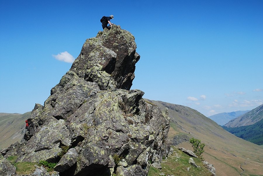 |
| It's a 24 ft climb to the top of The Howitzer |
|
This Web Page Created with PageBreeze Free HTML Editor