 |
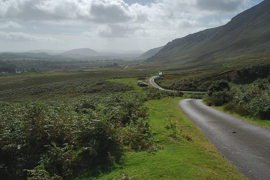
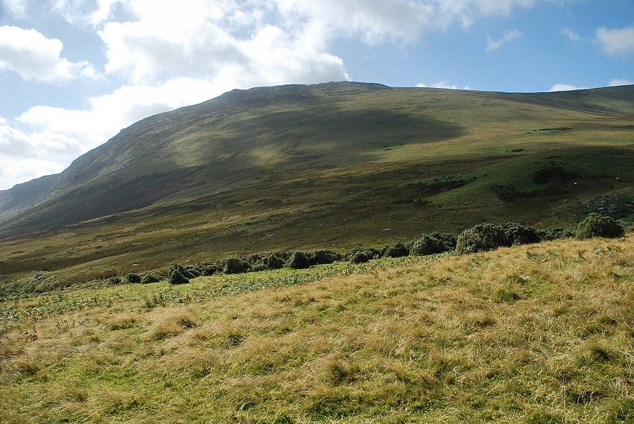
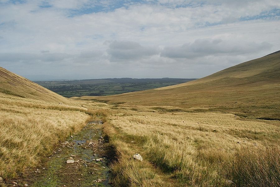
| Looking south from Quaker Hill at the start of the walk. Cars can be parked on the verge near the ford over Carrock Beck and there is a small parking area near Calebreck Farm half a mile to the north of the ford |
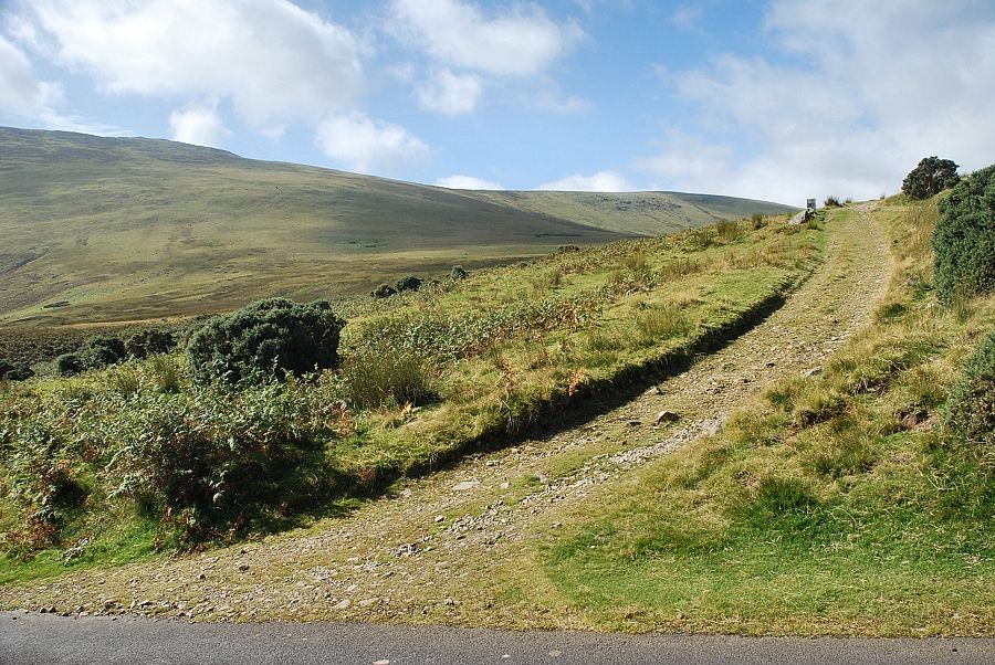 |
| A couple of hundred yards to the north along the road from the ford is the start of an old mine track, just one of the many such tracks and bridleways which criss-cross these Caldbeck and Uldale Fells |
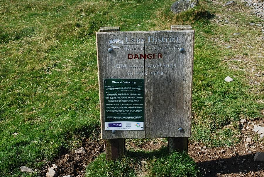 |
| It used to be a proud boast that "Caldbeck and the Caldbeck Fells are worth all England else" because of the extensive range of minerals that have been mined in the area for hundreds of years. All the mines have now closed but their sites and workings are often explored by mineral specimen collectors. Over 175 different minerals, some very rare, have been identified in this internationally renowned area and to help prevent damage to the sites the LDNPA has adopted a mineral collection policy which is summarised on information boards that have been placed at all the key approach paths to the mines |
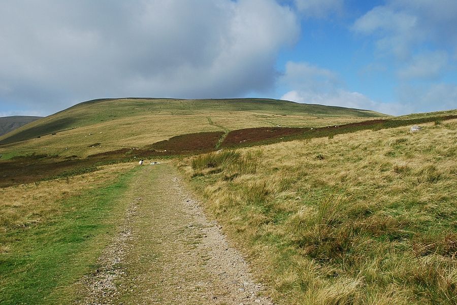 |
| West Fell, a subsidiary ridge of High Pike, from the mine track |
 |
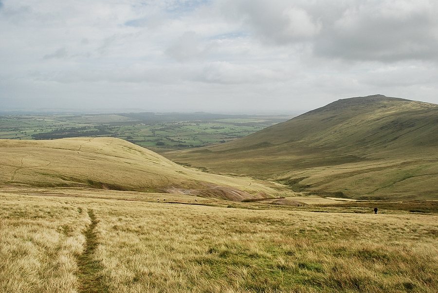
| Looking across to the summit of Carrock Fell from the mine track |
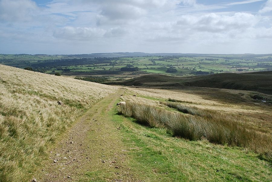 |
| Looking back along the mine track |
 |
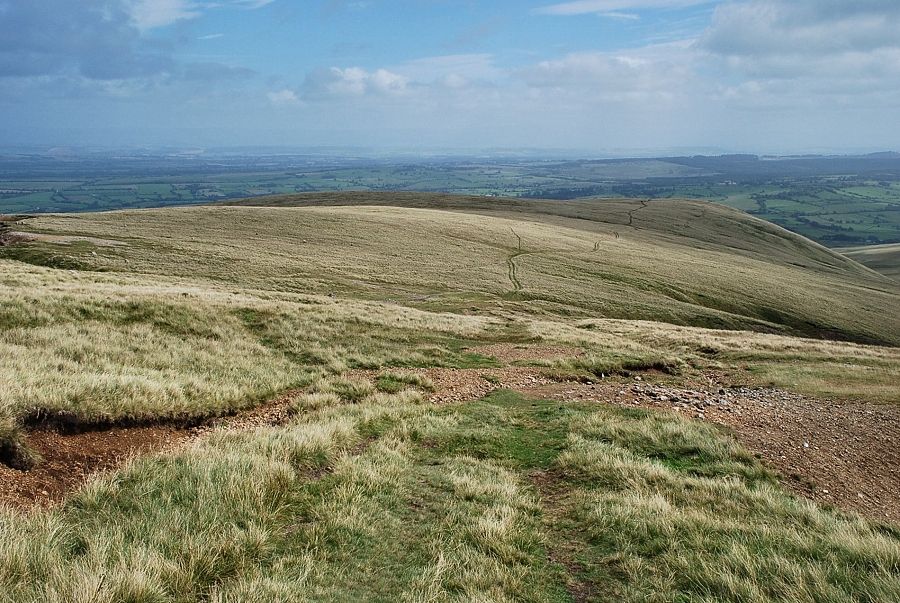
| High Pike between the slopes of Miton Hill on the left and West Fell on the right |
 |
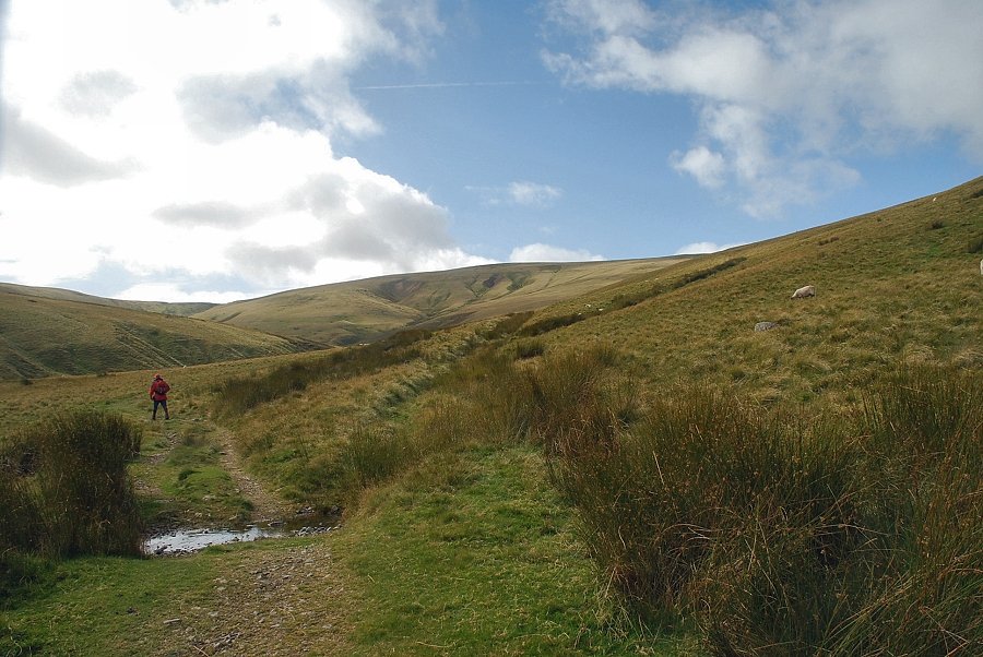
| Approximately one mile from the start of the walk the Red Gate path turns off the track to cross Carrock Beck. This is another old mine track which can be seen on the left, climbing across the slopes of Miton Hill |
 |
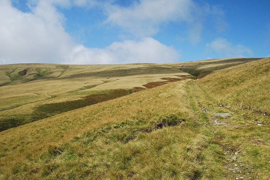
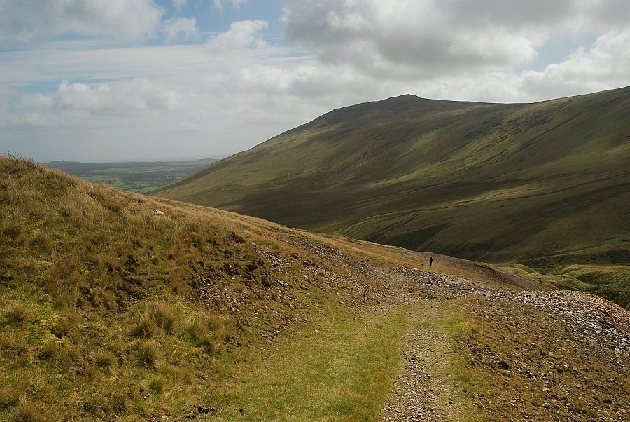
| Looking back along the mine track |
 |
| A little further along, the mine track becomes very wet and rutted as it begins to climb towards Driggeth Beck. A diversionary path avoids this section |
 |
| The track gradually turns to the north-east as it approaches Driggeth Mine |
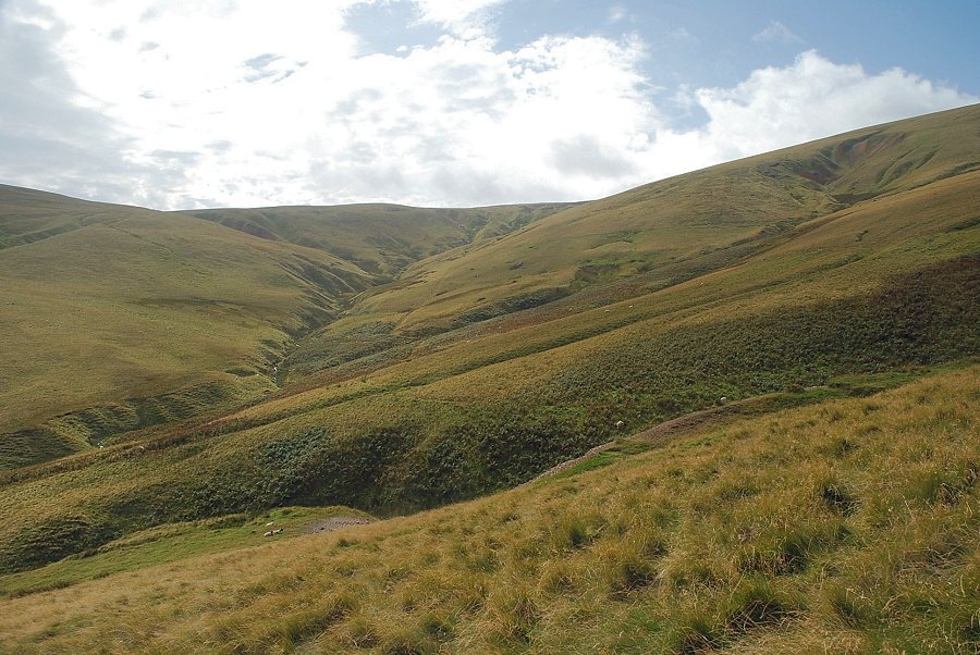 |
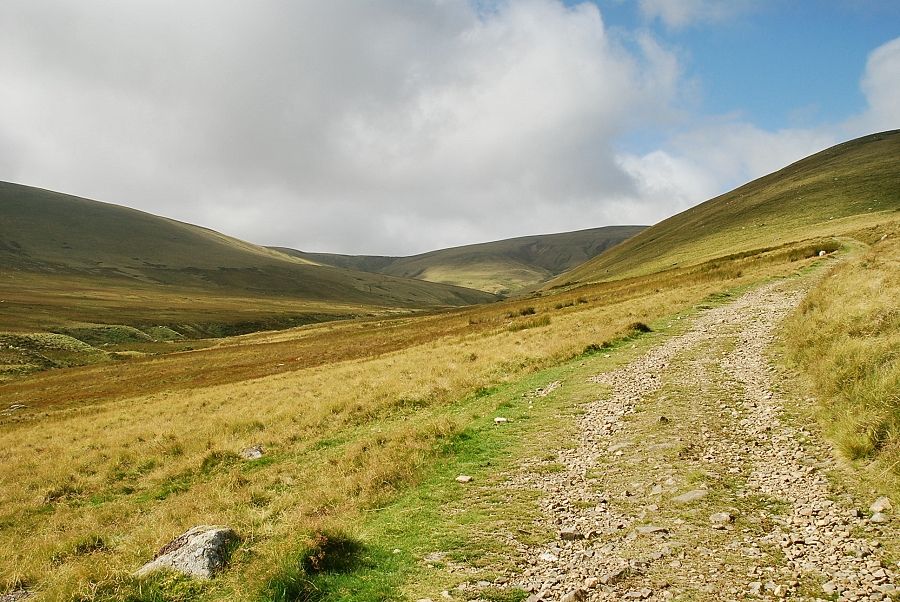
| Looking over to Drygill Head from the mine track |
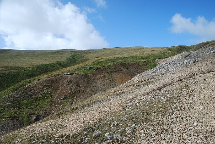 |
| Driggeth Mine, which was first worked in 1790, yielded lead with a high silver content, together with copper and barytes |
 |
| Looking back to Carrock Fell from Driggeth Mine |
 |
| Looking over Driggeth Mine to Dry Gill, the site of another lead mine |
 |
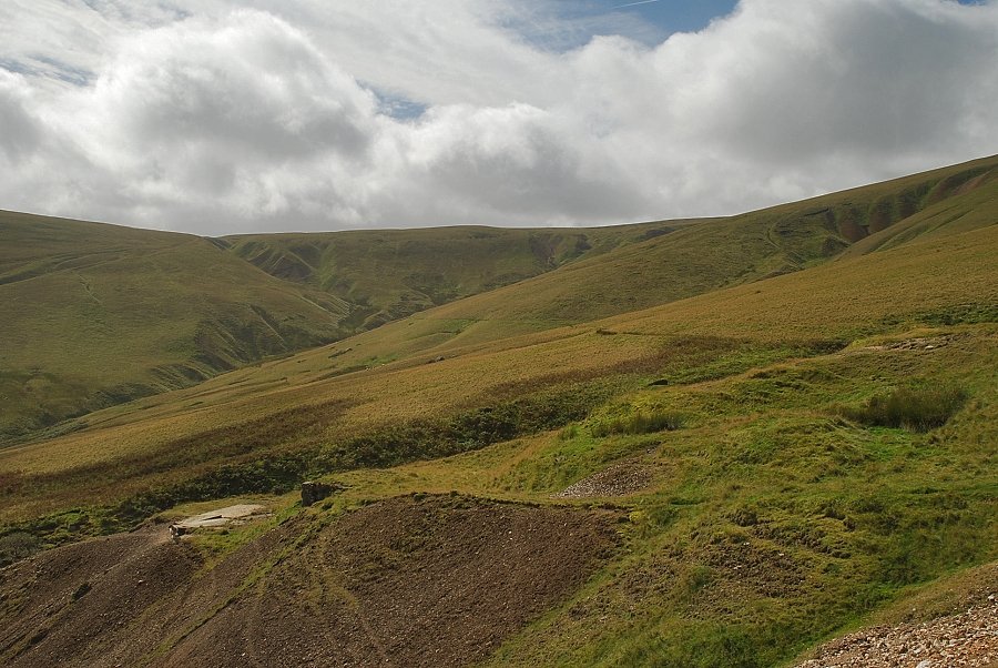
| The path climbs through the upper workings of Driggeth Mine to join another old mine track which rises from the Sandbed Mine |
 |
| Looking back to West Fell from the upper workings of Driggeth Mine |
 |
| Carrock Fell from the upper workings of Driggeth Mine |
 |
| The old mine track from Sandbed Mine is only followed for a short distance before turning off it onto a path which climbs up towards Low Pike |
 |
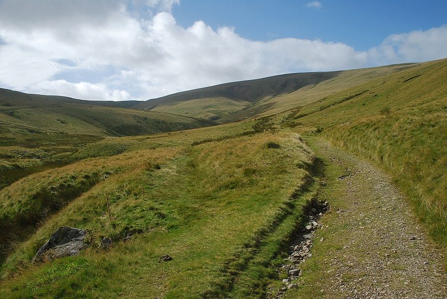
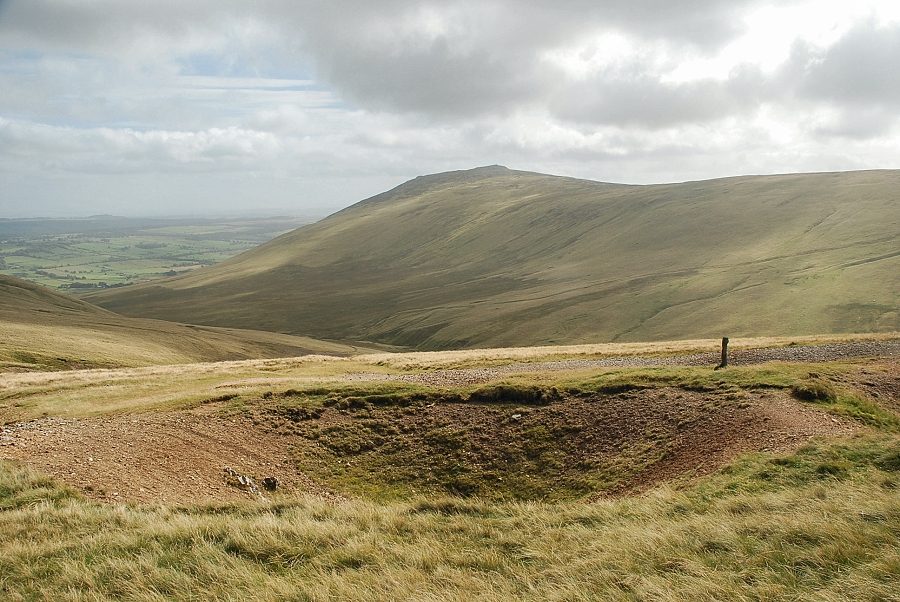
| Bowscale Fell and Blencathra over Drygill Head from the path to Low Pike |
 |
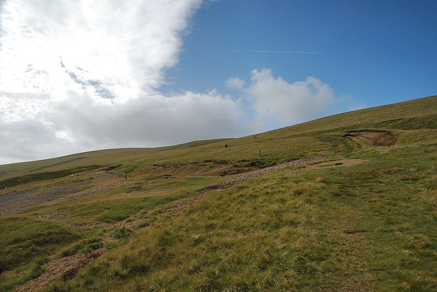
| Looking back from the climb to Low Pike |
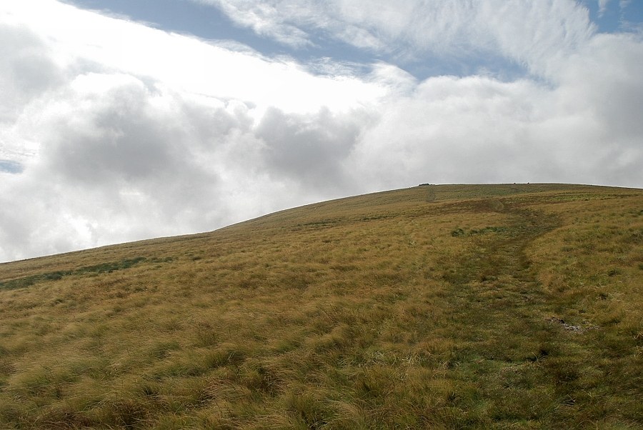 |
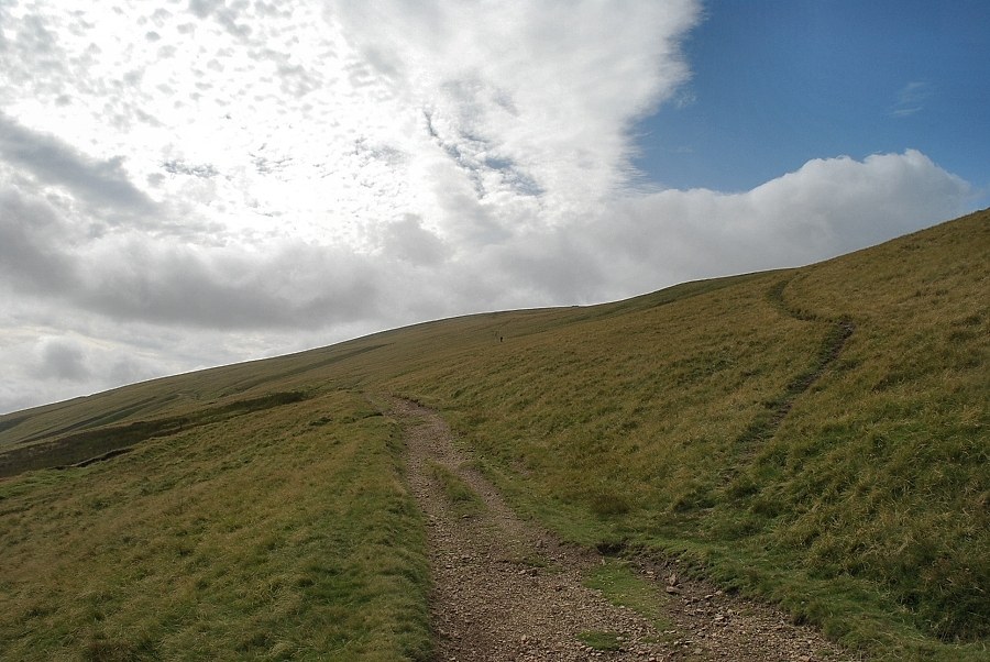
| The final slope leading up to the summit of High Pike, the north cairn can be seen on the skyline |
 |
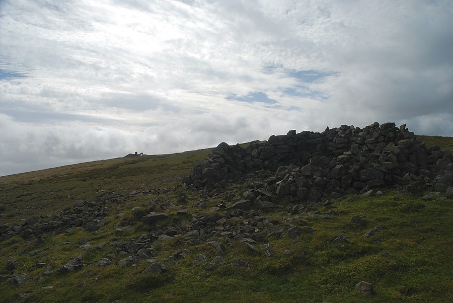
| The north cairn on High Pike, built from the remains of a shepherd's bothy, has been hollowed out to form a substantial wind shelter |
 |
| The summit of High Pike from the north cairn |
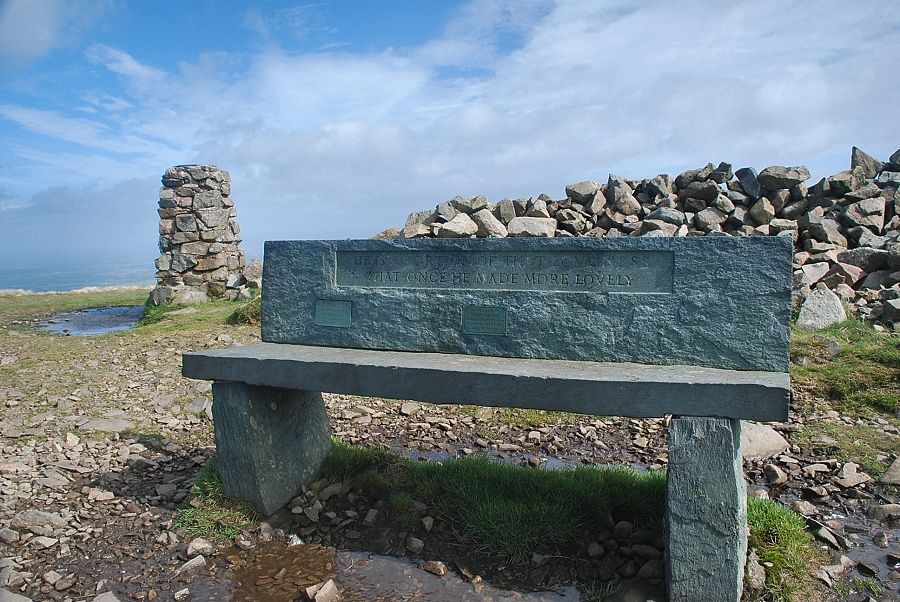 |
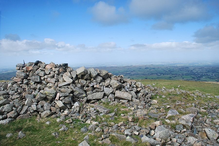
| The trig column, wind shelter, and memorial seat on the summit of High Pike |
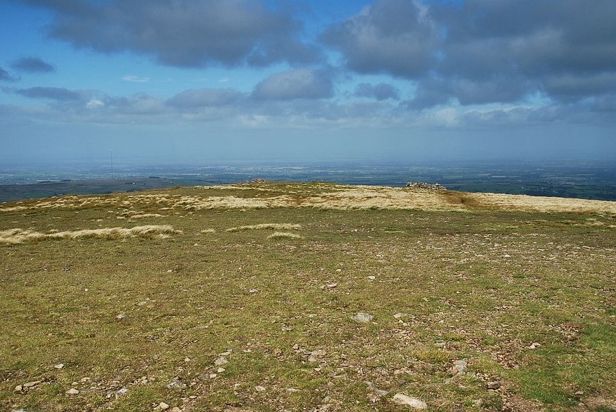 |
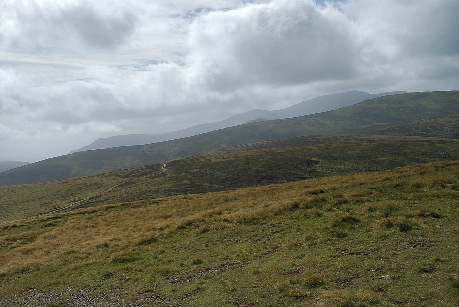
| Looking north from the summit of High Pike |
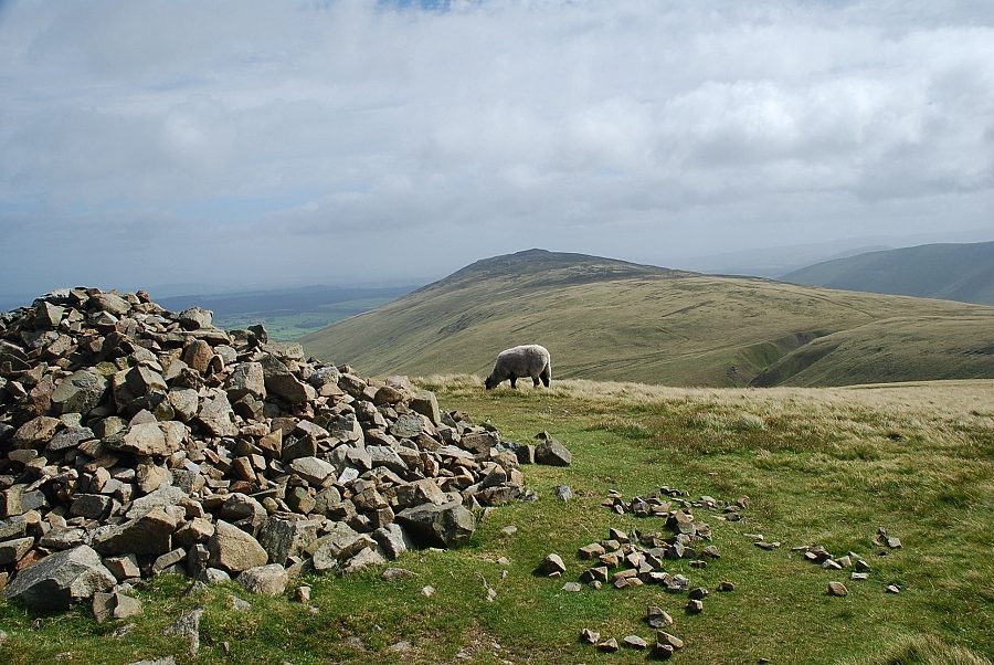 |
| Carrock Fell from the summit of High Pike |
 |
| Bowscale Fell and Blencathra from the summit of High Pike |
 |
| Lonscale Fell, Skiddaw Little Man and Skiddaw above the slopes of Knott |
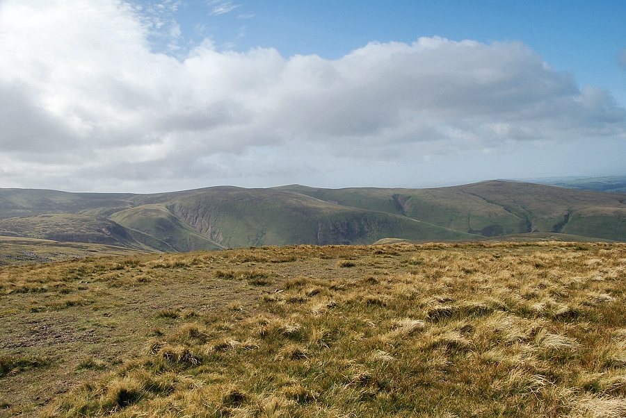 |
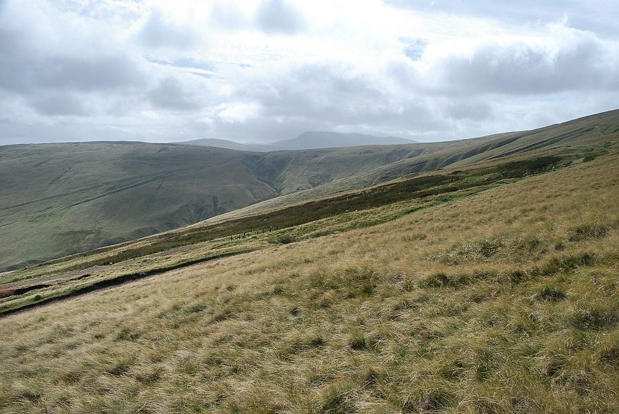
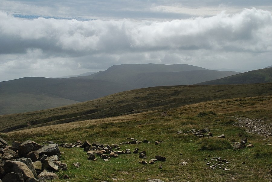
| Looking south-west towards Knott, Great Sca Fell, Little Sca Fell and Brae Fell |
