 |
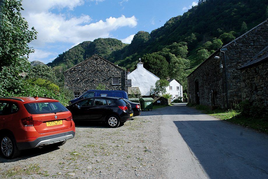
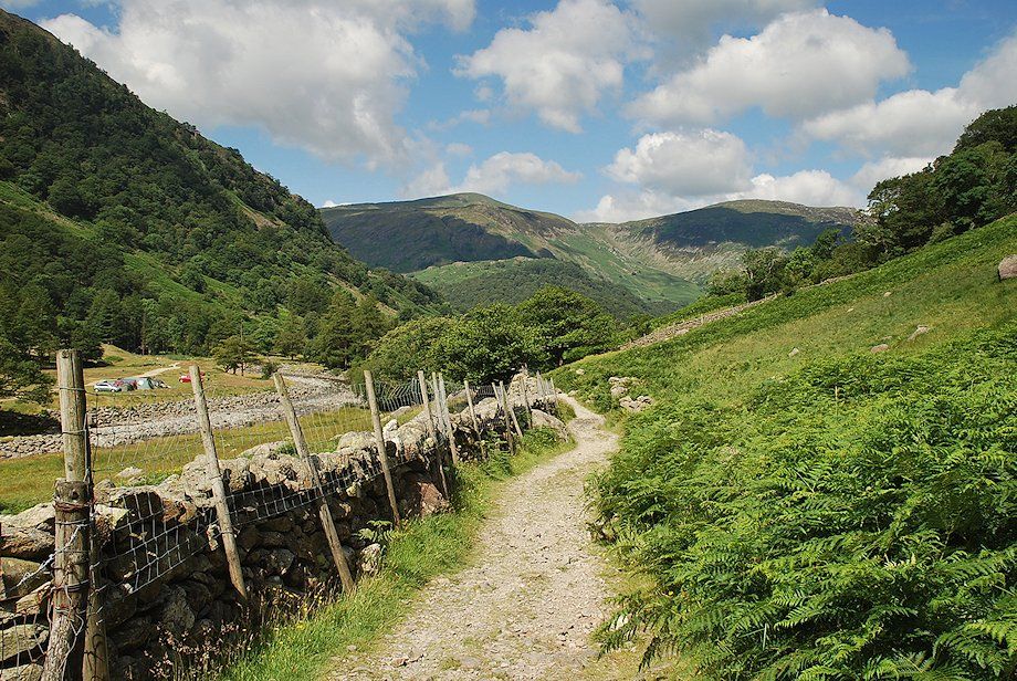
| Stonethwaite at the start of the walk. There are a few parking spaces near the telephone kiosk, more are available along the lane approaching the hamlet |
 |
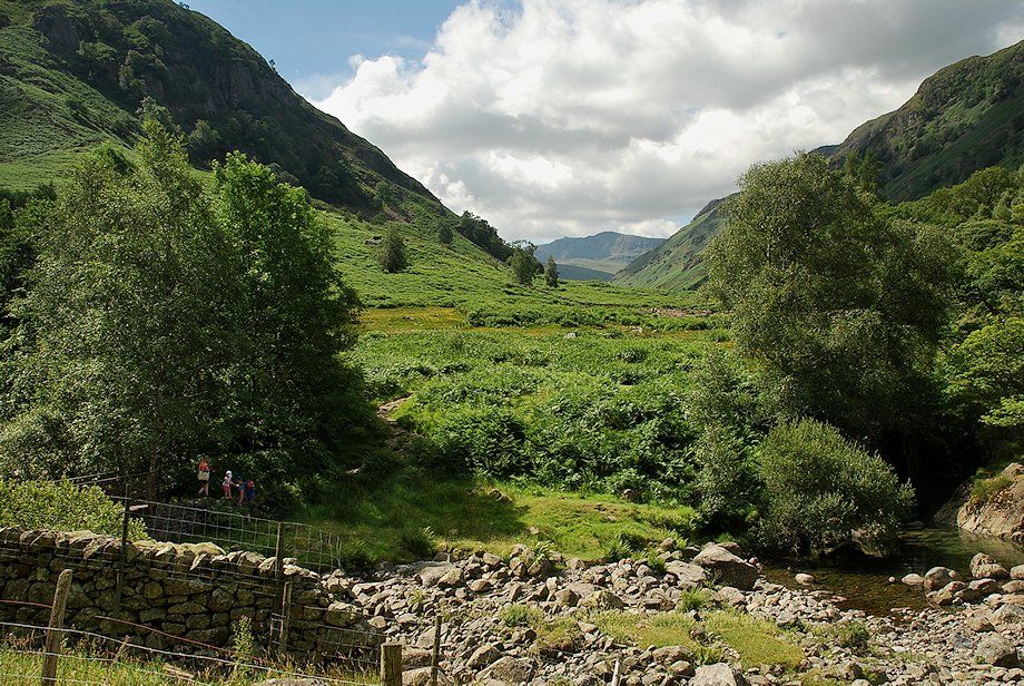
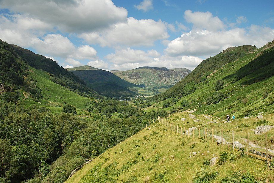
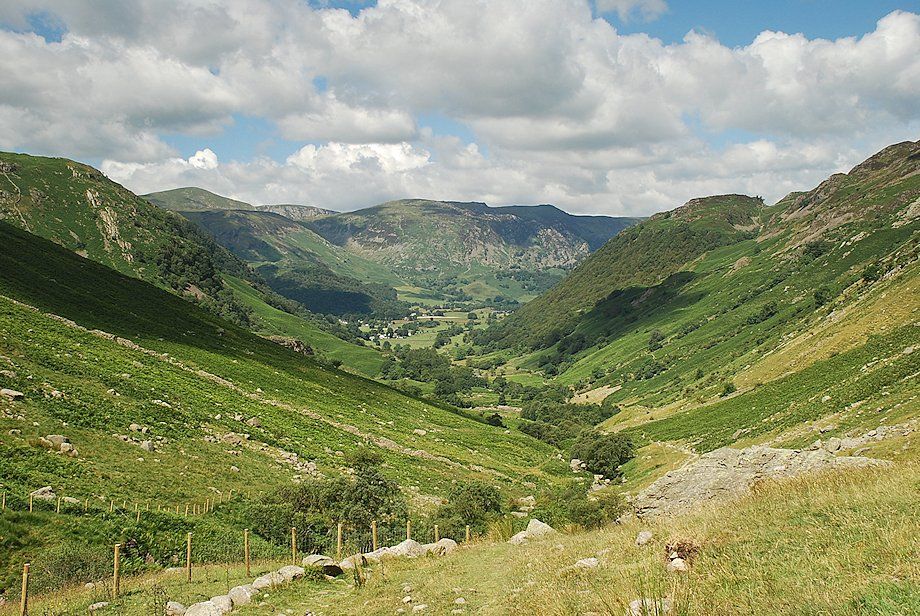
| To the left of the telephone kiosk a walled lane, signposted Greenup Edge, leads over Stonethwaite Bridge and joins the bridleway which runs between Rosthwaite and Grasmere. Turn right after crossing the bridge and follow the broad track which runs alongside Stonethwaite Beck. The track forms part of two long distance paths, the Cumbria Way and the Coast to Coast Walk |
 |
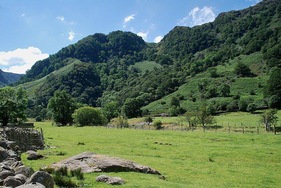
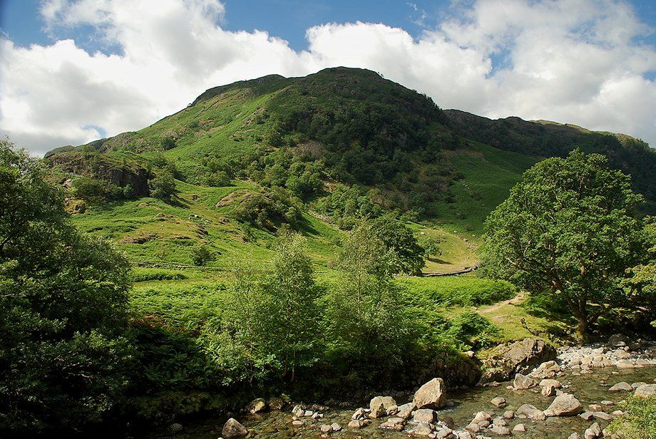
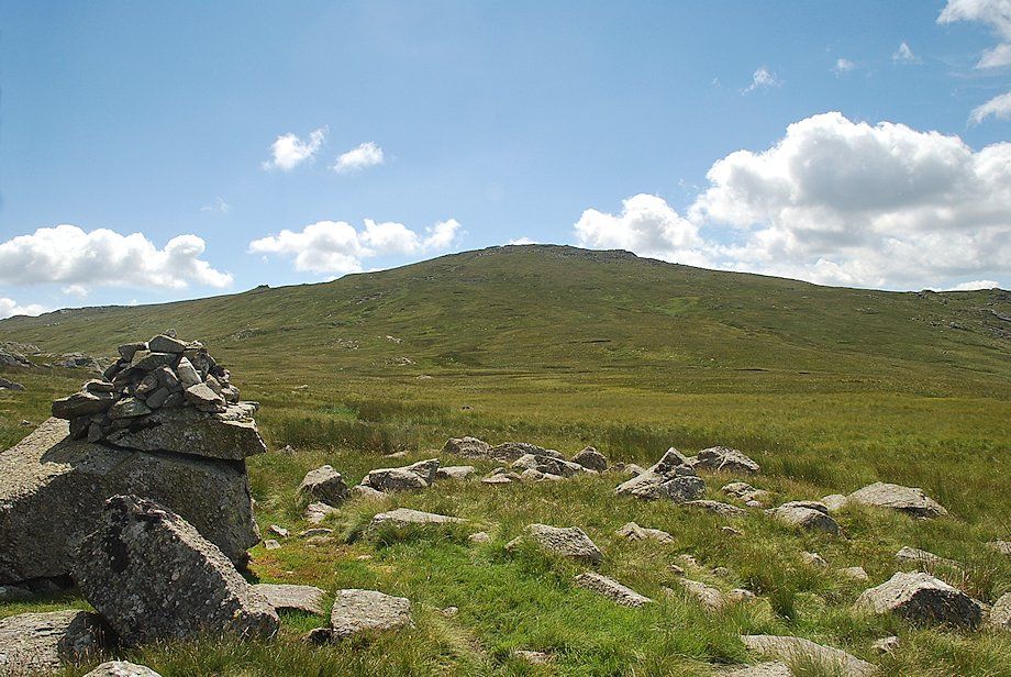
| The view ahead is dominated by Eagle Crag which divides the valleys of Greenup Gill and Langstrath |
 |
| Looking over to Big Stanger Gill flanked by Bull Crag and Hanging Haystack on Rosthwaite Fell |
 |
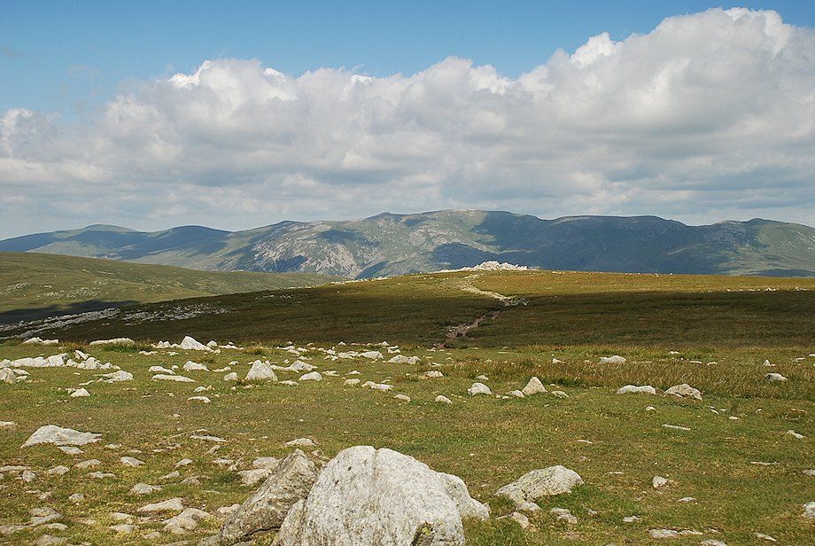
| Looking back along the track towards Dale Head and High Spy |
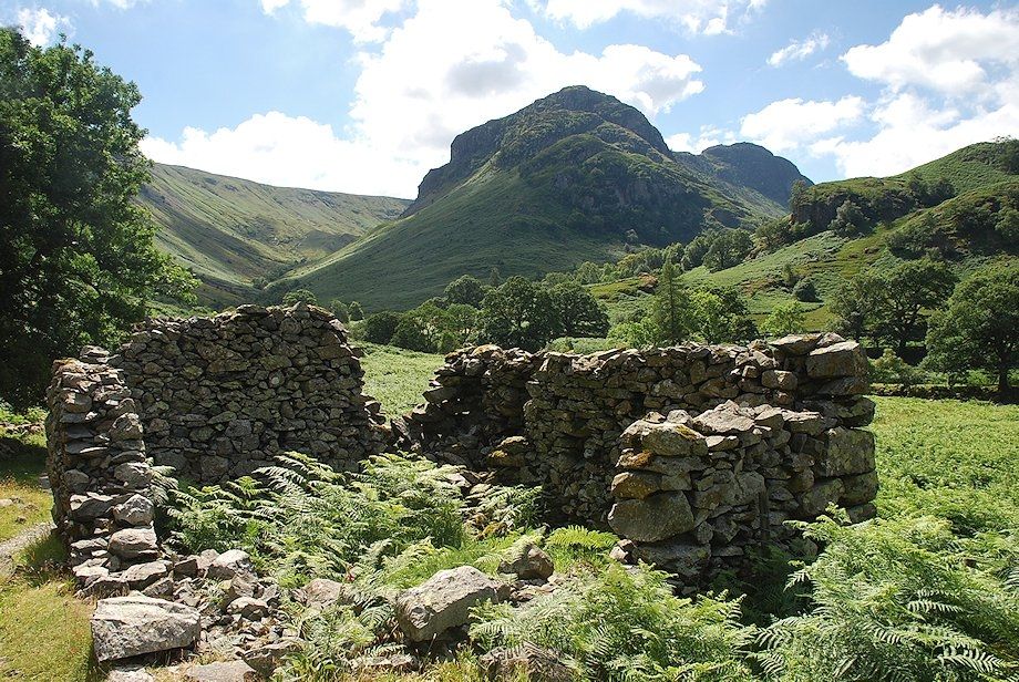 |
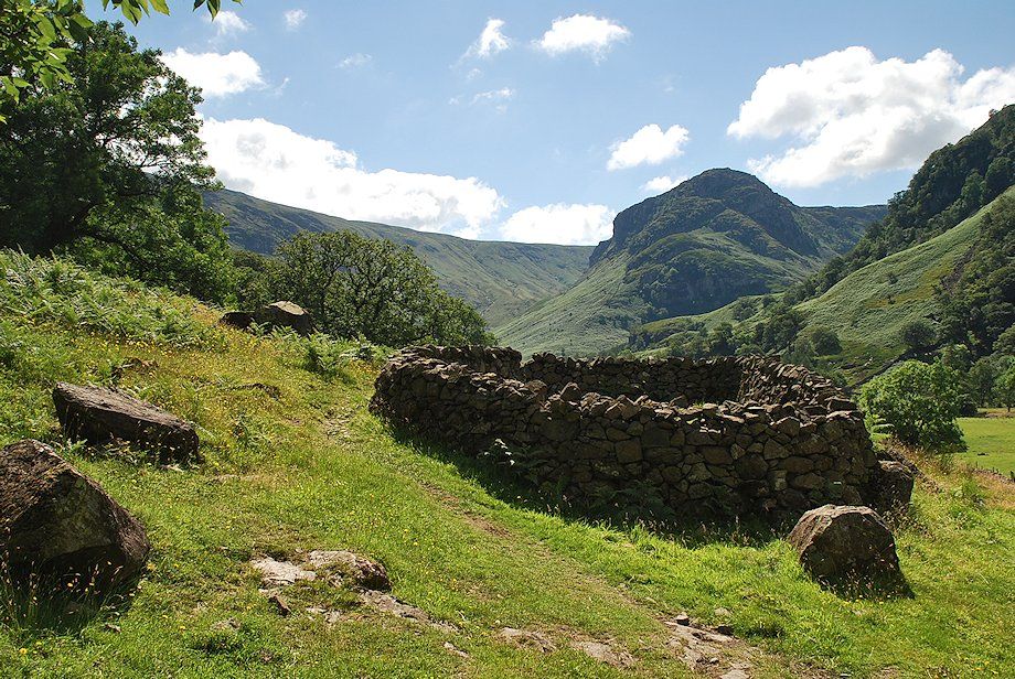
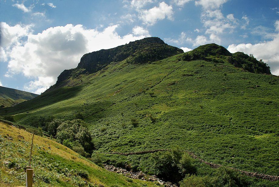
| Eagle Crag and Sergeant's Crag from a ruined barn beside the track |
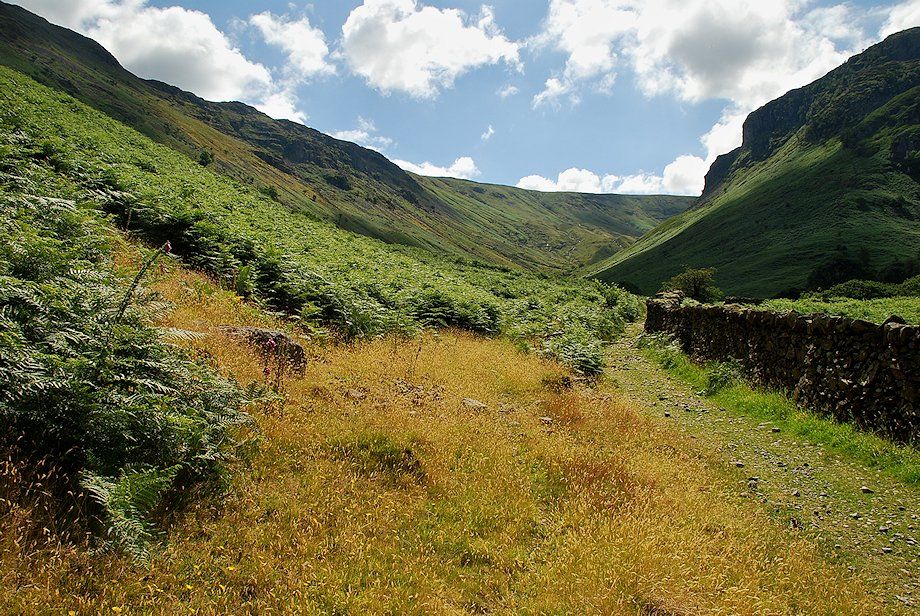 |
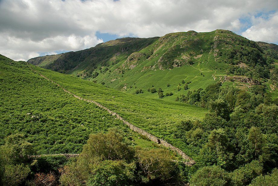
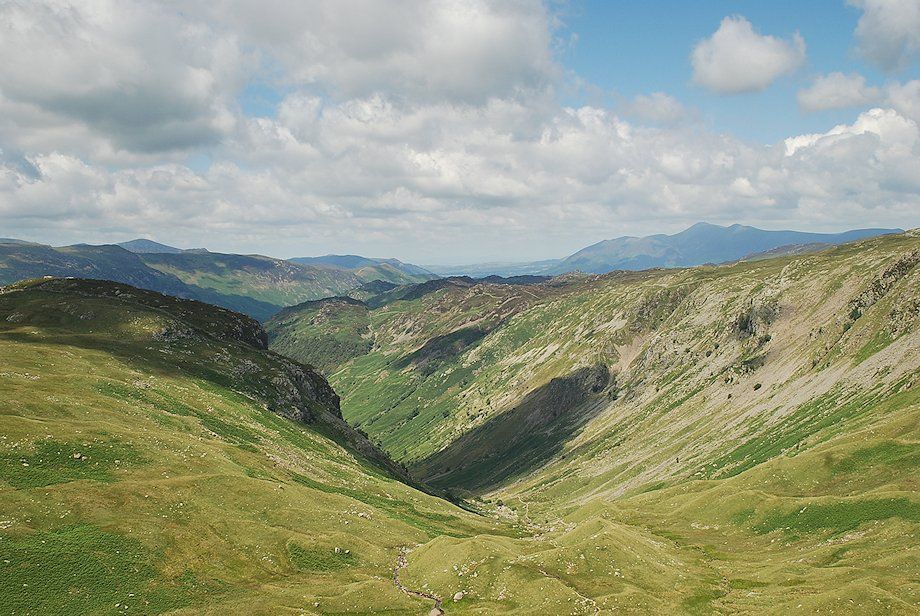
| The valley of Greenup Gill between the slopes of Ullscarf and Eagle Crag |
 |
| Looking across Stonethwaite Beck to Rosthwaite Fell |
 |
| Bowfell at the head of Langstrath from Smithymire Island, the confluence of Greenup Gill and Langstrath Beck. The Cumbria Way path crosses the footbridge over Greenup Gill here bound for Great Langdale. The Coast to Coast Walk continues along the bridleway to Grasmere via Greenup Edge |
 |
| Looking back towards Dale Head and High Spy from Smithymire Island |
 |
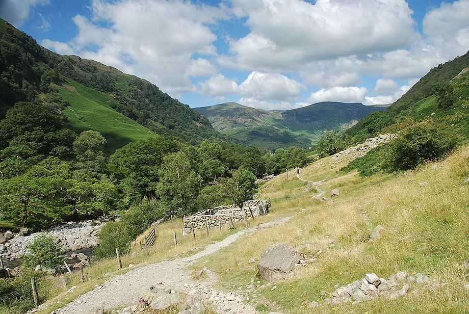
| The path on from Smithymire Island begins the long climb of Greenup Gill to Greenup Edge, up to this point the walking has been fairly level |
 |
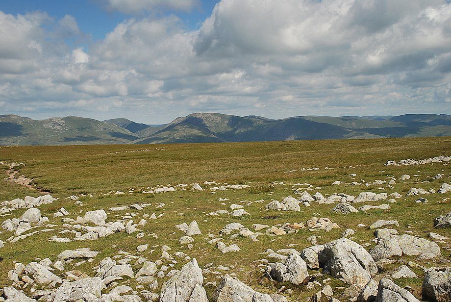
| Looking across to Rosthwaite Fell from the Greenup Gill path |
 |
| Looking back along the short valley of Stonethwaite Beck |
 |
| Eagle Crag from Greenup Gill |
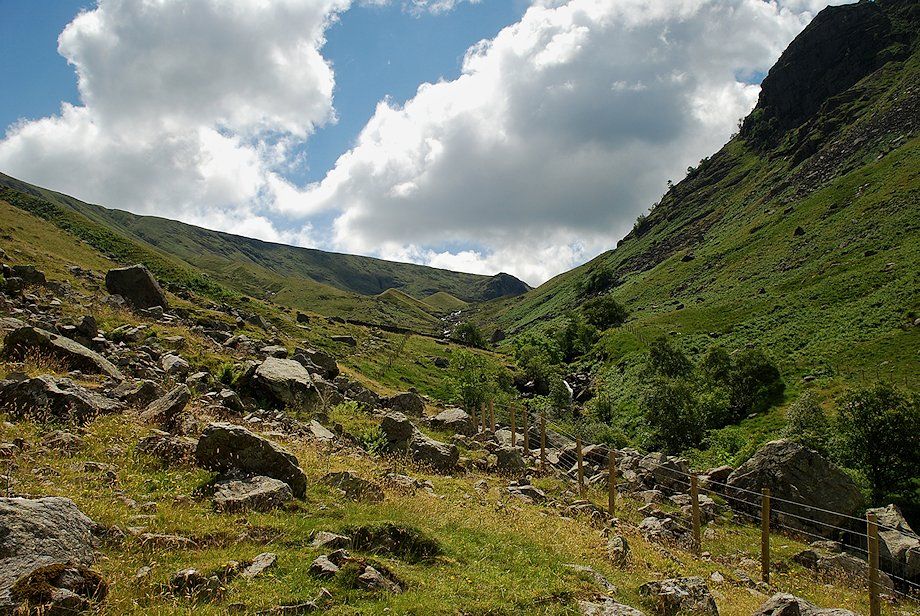 |
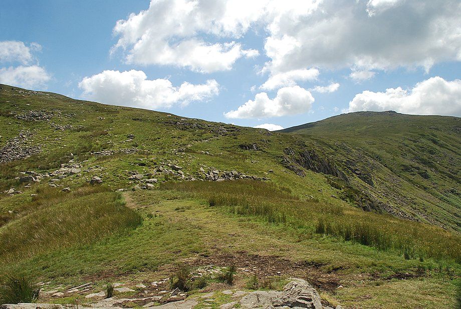
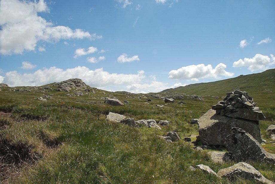
| Lining Crag comes into view as the path approaches the upper intake wall |
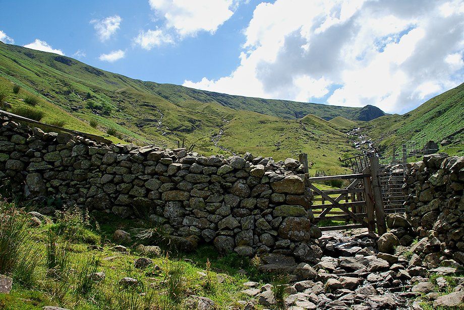 |
| The handgate in the upper intake wall |
 |
| Looking back from the upper intake wall |
 |
| Lining Crag above the moraines of the upper valley of Greenup Gill |
 |
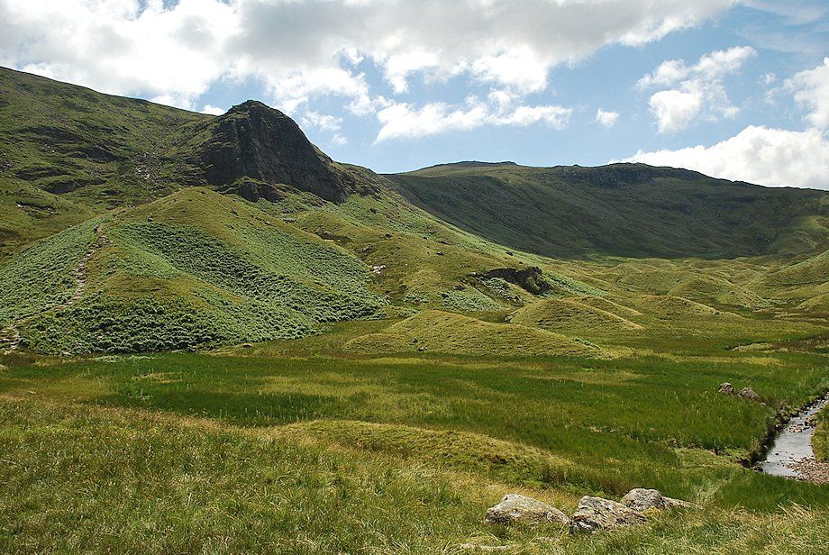
| Looking up to Pounsey Crag and Eagle Crag |
 |
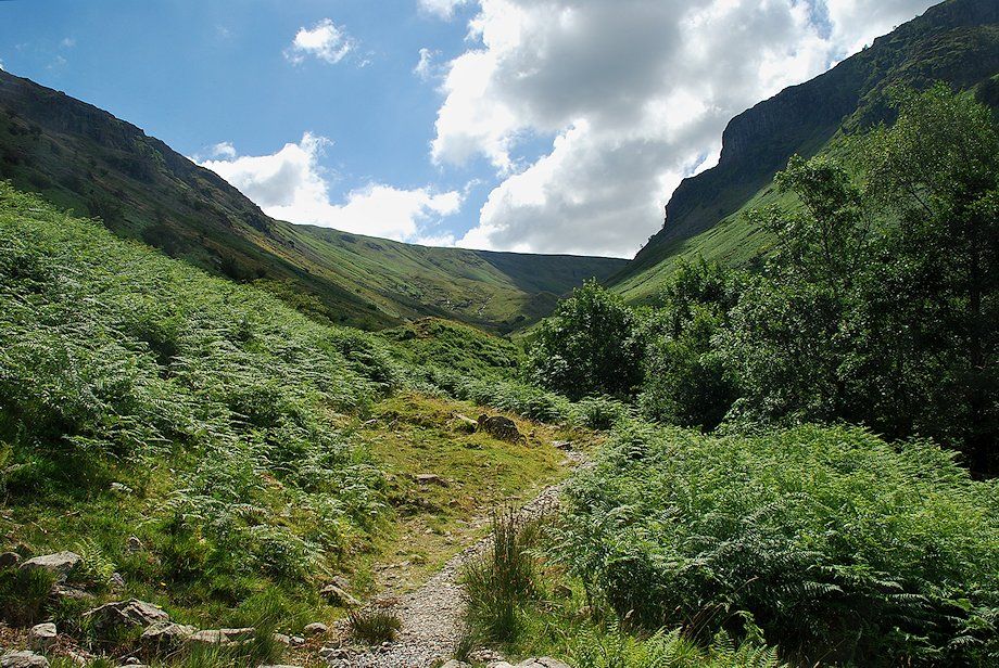
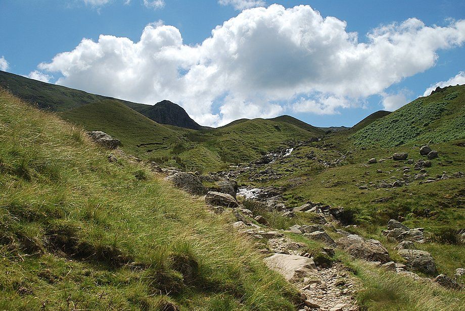
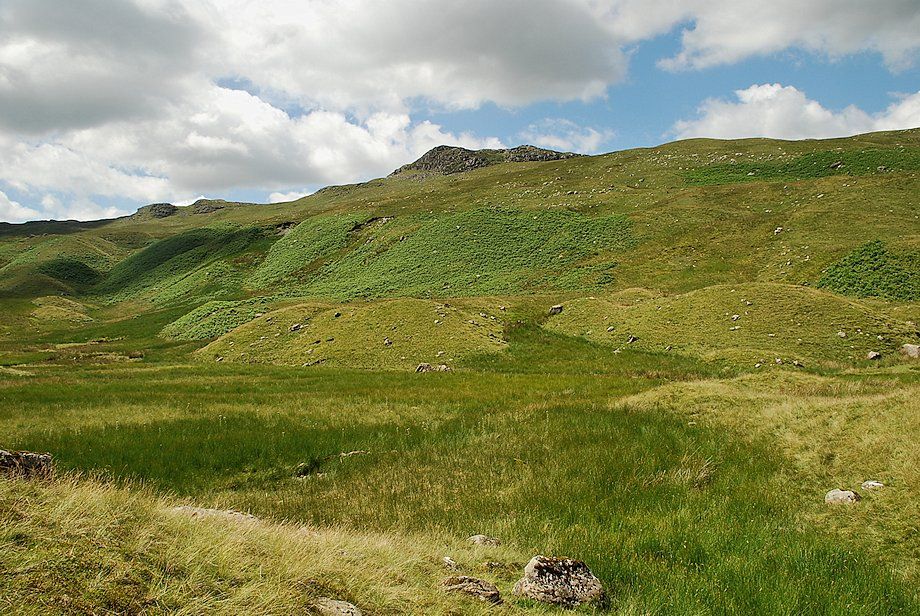
| On passing the first moraines the upper valley of Greenup Gill is revealed. Wainwright described it as "a strange upland valley of moraines". High Raise comes into view for the first time at the head of the valley |
 |
| The summit ridge of Sergeant's Crag across the upper valley of Greenup Gill |
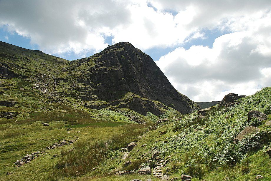 |
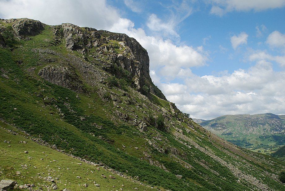
| The west face of Lining Crag, the preserve of rock climbers, the pedestrian route takes a steep path to the left of the crag |
 |
| Approaching the top of Lining Crag |
 |
| Bowfell, Esk Pike, Scafell Pike and Great End over the head of Greenup Gill from the top of Lining Crag |
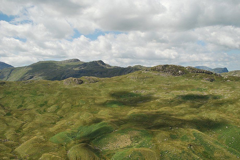 |
| Glaramara over the summit ridge of Sergeant's Crag from the top of Lining Crag |
 |
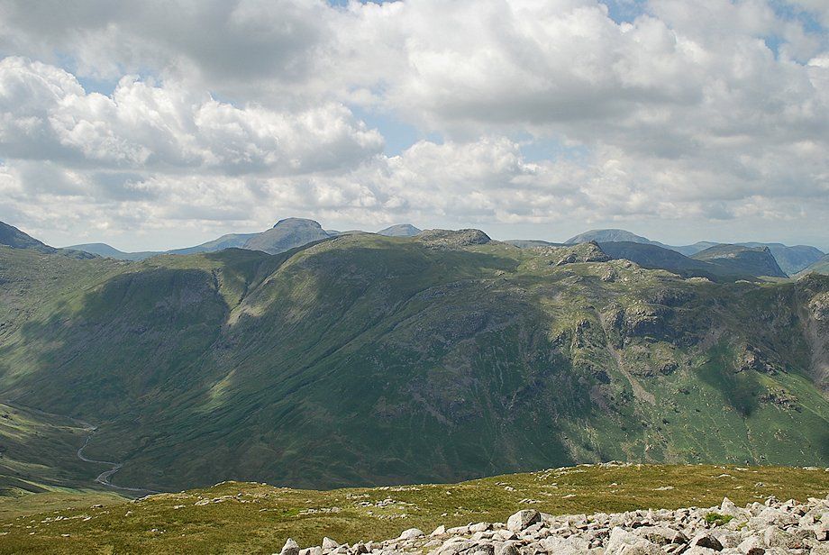
| The North Western Fells over the summit ridge of Eagle Crag from the top of Lining Crag |
 |
| Greenup Gill from the top of Lining Crag |
 |
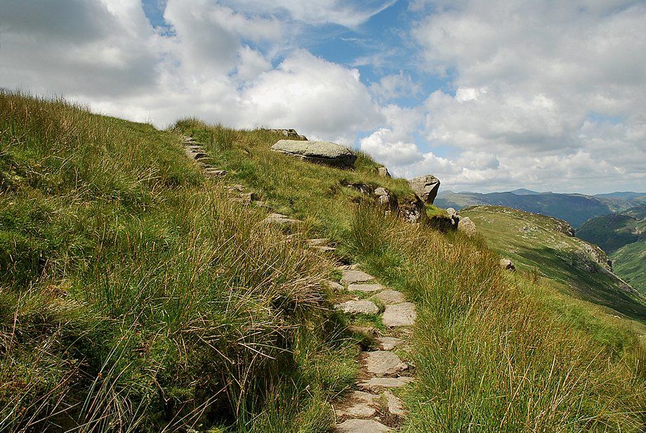
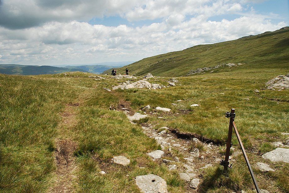
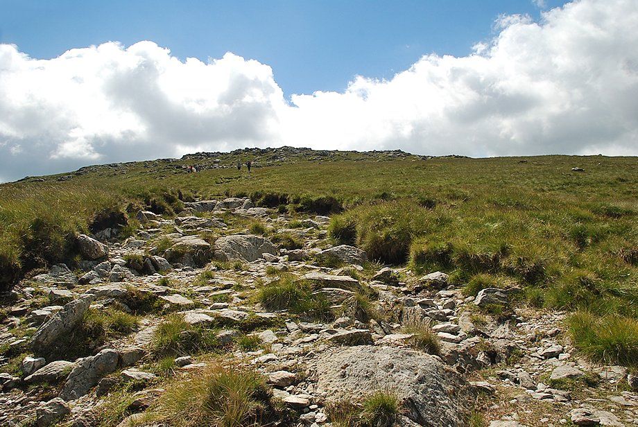
| From the top of Lining Crag the path continues easily to Greenup Edge, the pass between the slopes of Ullscarf on the left and High Raise on the right |
 |
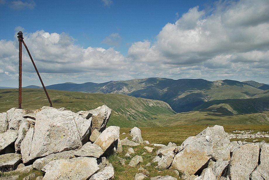
| Low White Stones on High Raise from the path to Greenup Edge |
 |
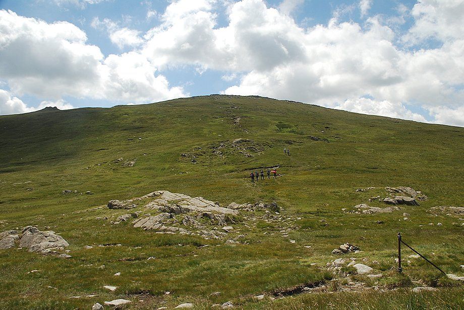
| Approaching Greenup Edge |
 |
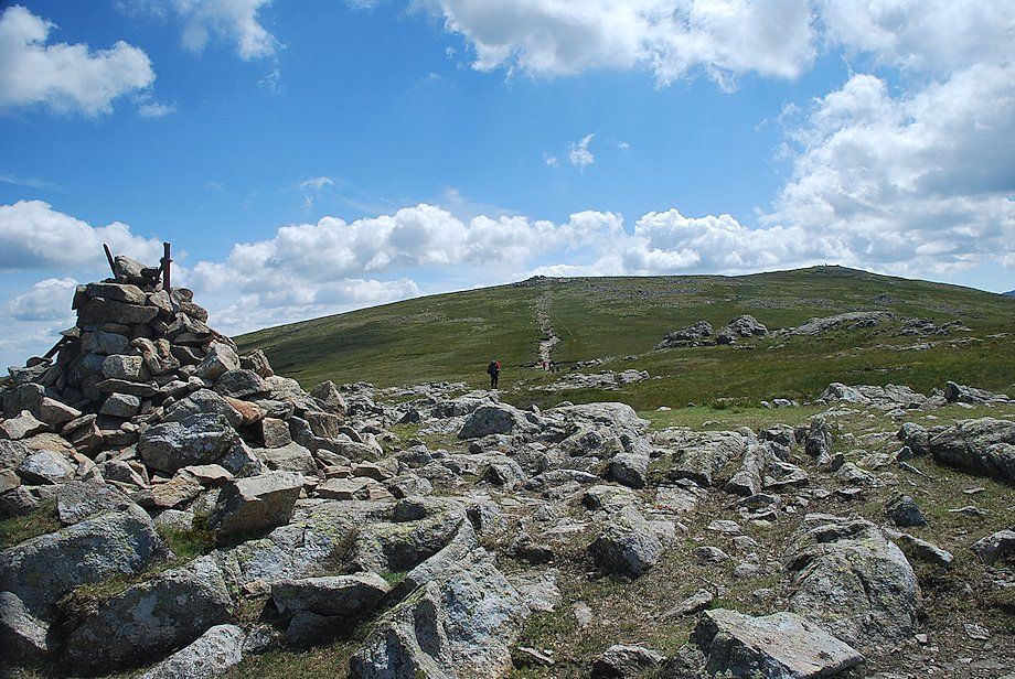
| Greenup Edge, the highest point of the bridleway between Rosthwaite and Grasmere |
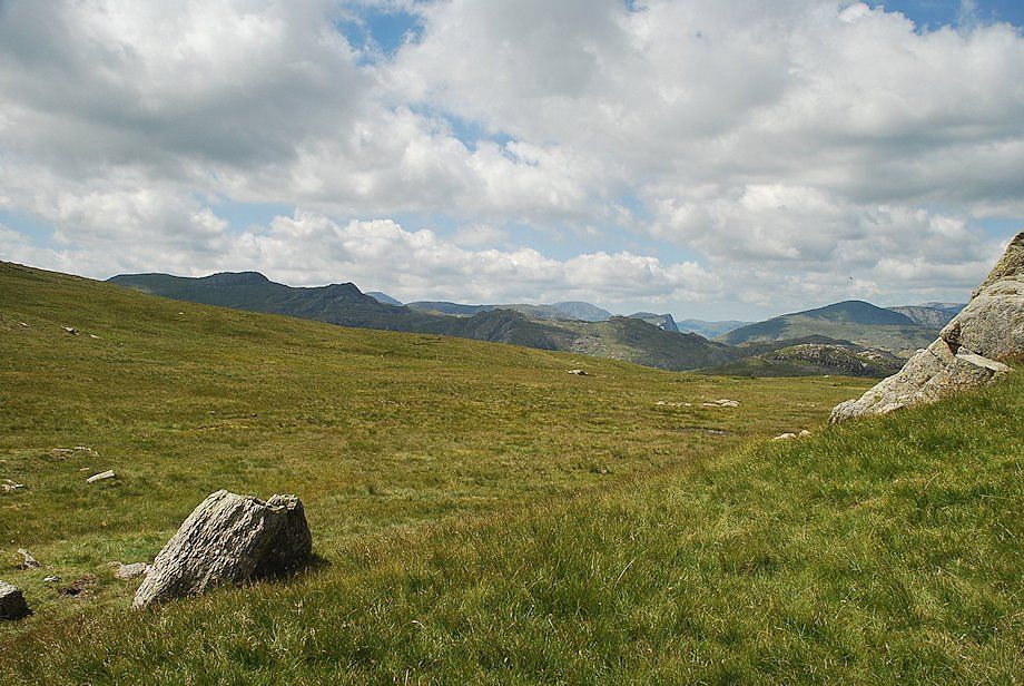 |
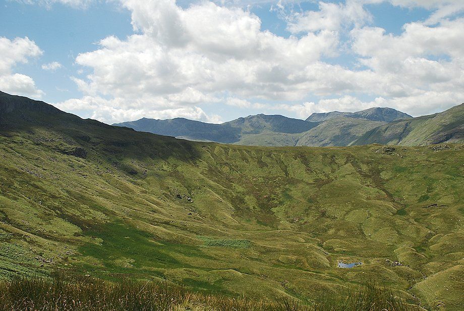
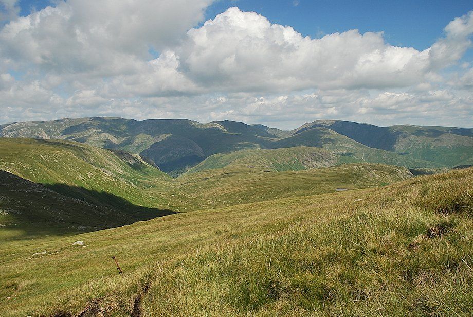
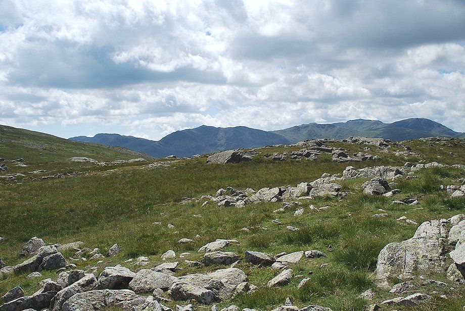
| Looking west from Greenup Edge, Glaramara on the left and Dale Head on the right |
 |
| The path to Low White Stones from Greenup Edge |
 |
| Looking back to Greenup Edge backed by Ullscarf from the climb to Low White Stones |
 |
| The Helvellyn range and Fairfield from the climb to Low White Stones |
 |
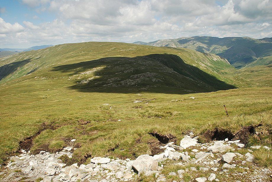
| Looking north from the climb to Low White Stones. The summit of Eagle Crag is just left of centre with the top of Lining Crag centre right |
 |
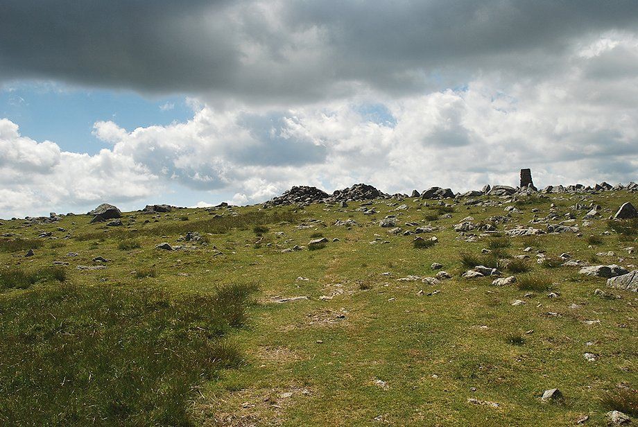
| Approaching the summit of Low White Stones |
 |
| The north-east top (centre) and the summit of High Raise (right) from the summit of Low White Stones |
 |
| The North Western Fells and Skiddaw from the summit of Low White Stones |
 |
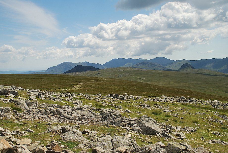
| Crinkle Crags, Bowfell, Esk Pike, Scafell Pike and Great End from the summit of Low White Stones |
 |
| Looking east from the summit of Low White Stones to the Helvellyn and Fairfield groups of fells |
 |
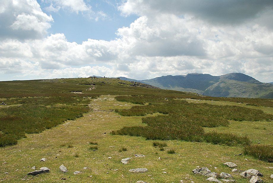
| Continuing on towards the north-east top of High Raise |
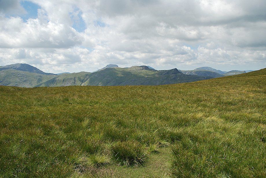 |
| Looking towards Glaramara from the path to the north-east top with Great Gable and Pillar appearing over its summit ridge |
 |
| The summit of High Raise from the north-east top |
 |
| The Helvellyn range from the north-east top of High Raise |
 |
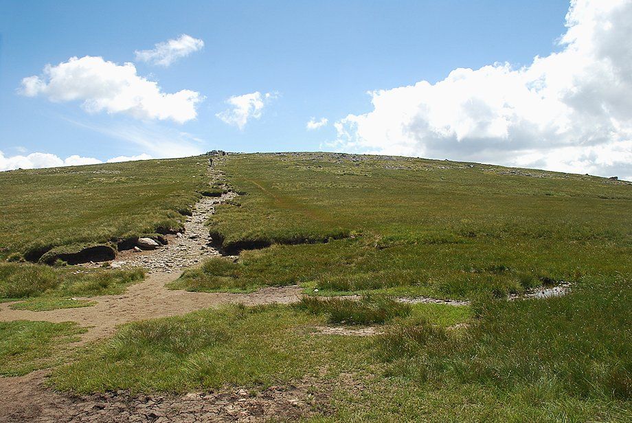
| Approaching the summit of High Raise |
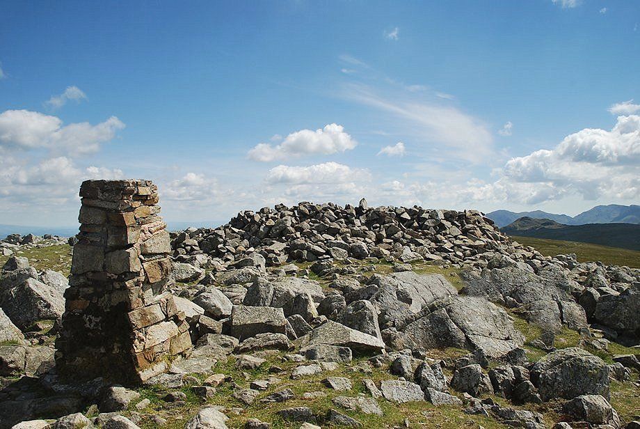 |
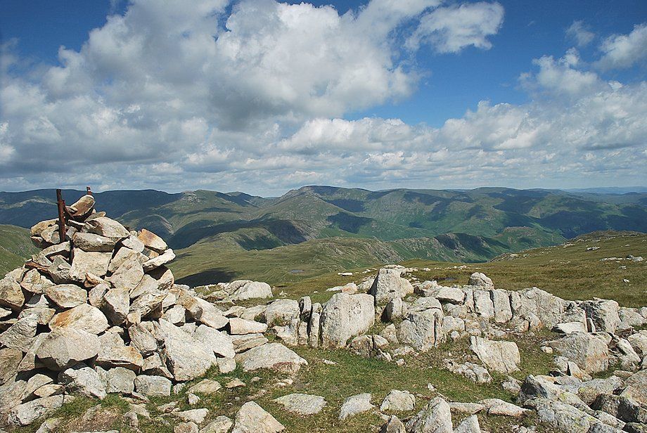
| The trig column and wind shelter on the summit of High Raise |
 |
| Blencathra over Ullscarf, Clough Head, Great Dodd and Stybarrow Dodd on the right |
 |
| Looking north-east, Great Dodd, Stybarrow Dodd, Raise, Helvellyn, Nethermost Pike, and Dollywaggon Pike form the horizon |
 |
| Looking east, Nethermost Pike, Dollywaggon Pike, St. Sunday Crag, Fairfield, Hart Crag, Dove Crag, High Street, Harter Fell, Red Screes and Ill Bell |
 |
| Looking south, Wetherlam, Coniston Old Man, Swirl How, Great Carrs, Dow Crag, Grey Friar and Cold Pike form the horizon above the summits of Harrison Stickle, Thunacar Knott, Pike o' Blisco and Pike o' Stickle in the middle distance |
 |
| Looking south west, Crinkle Crags, Bowfell, Esk Pike, Scafell, Scafell Pike, Great End and Seatallan |
 |
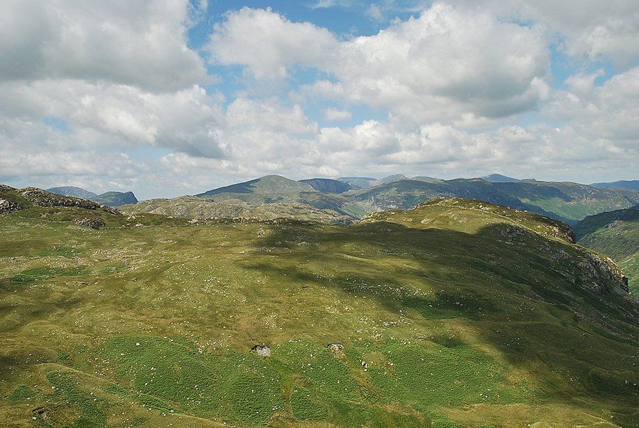
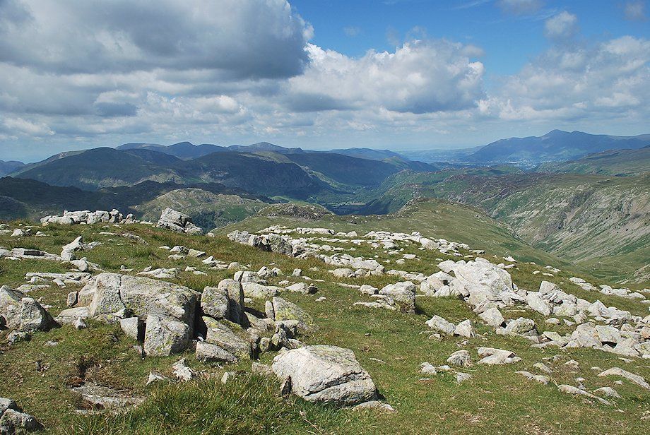
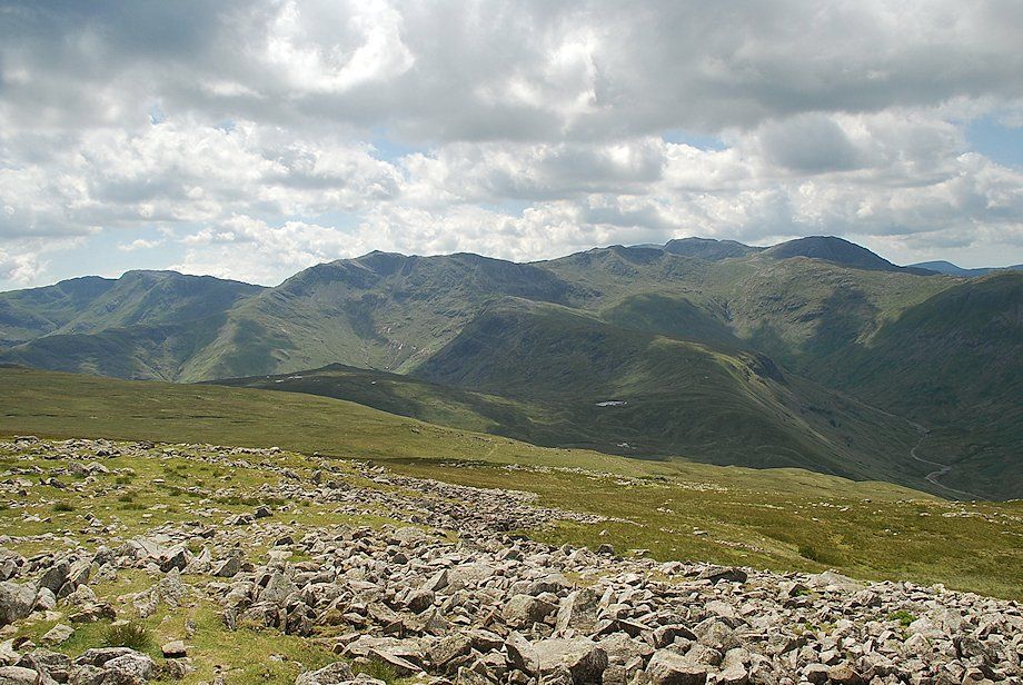
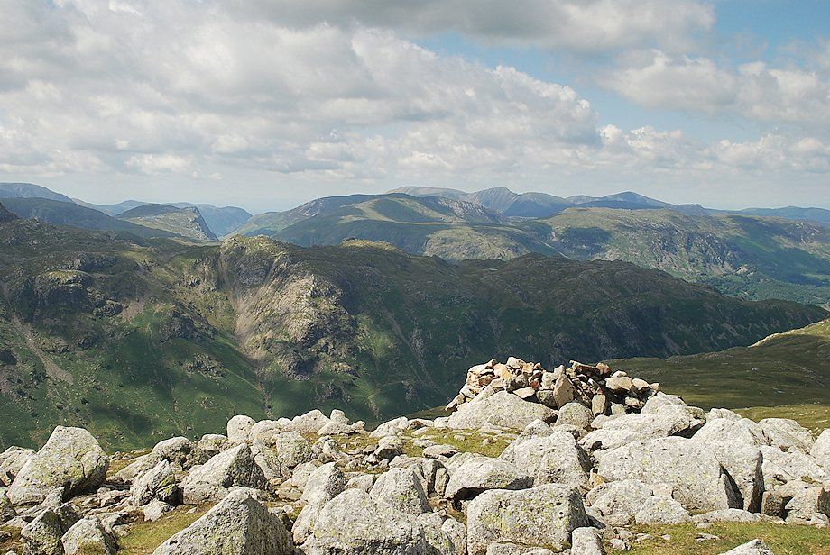
| Across Langstrath, Great Gable and Pillar appear over the summit ridge of Glaramara |
 |
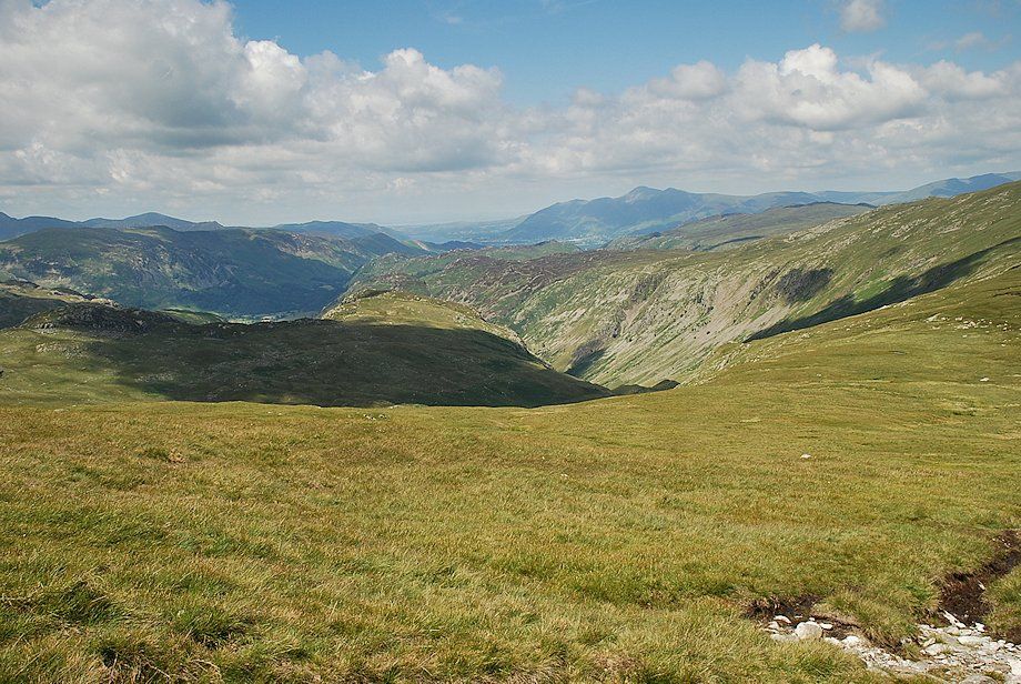
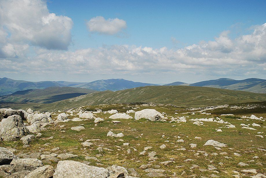
| The North Western Fells over Rosthwaite Fell |
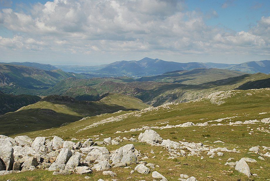 |
| Looking north to Skiddaw |
