 |
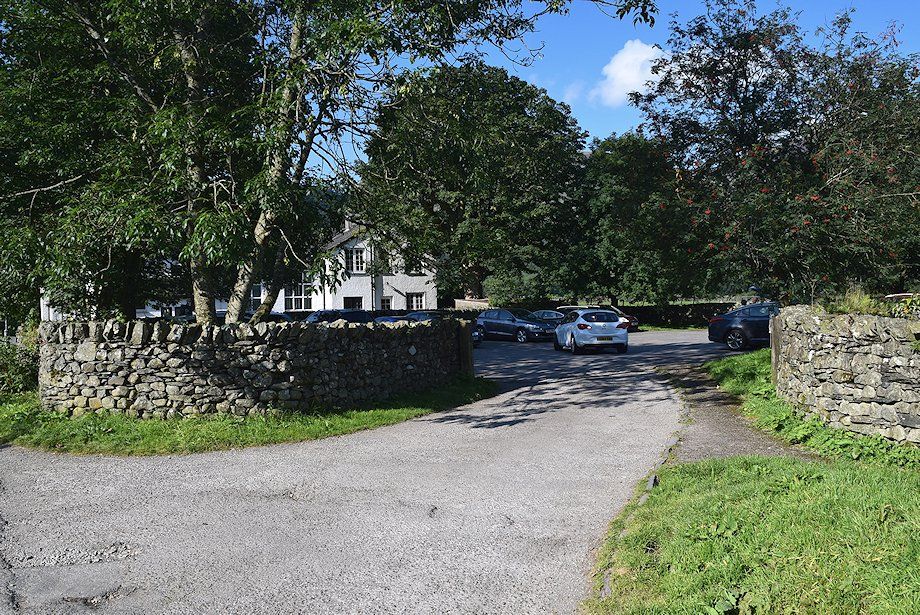
| The small National Trust car park in Rosthwaite is the starting point for this walk |
 |
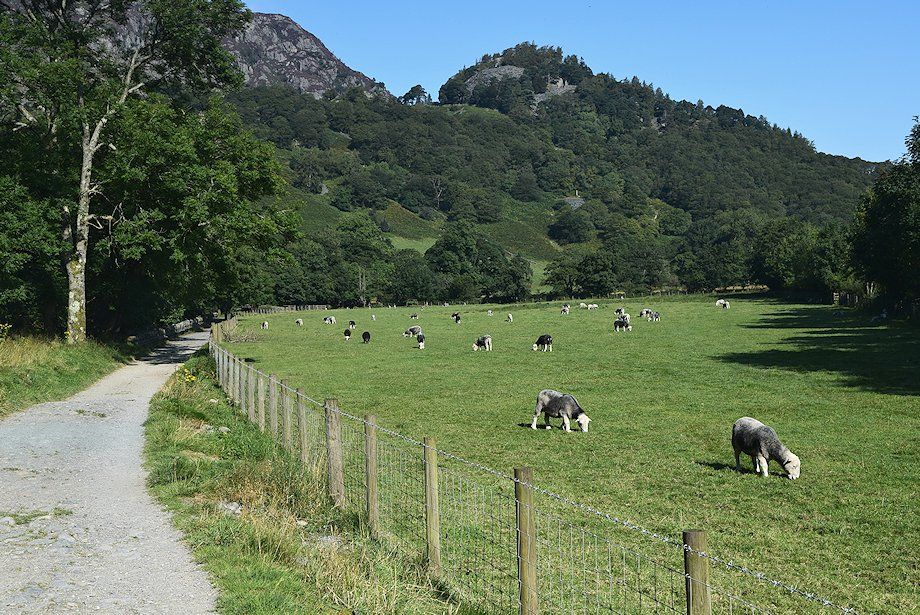
| Turn right from the car park to follow the lane to Yew Tree Farm and its popular Flock-in tearoom |
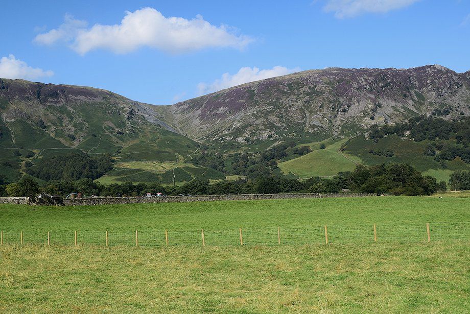 |
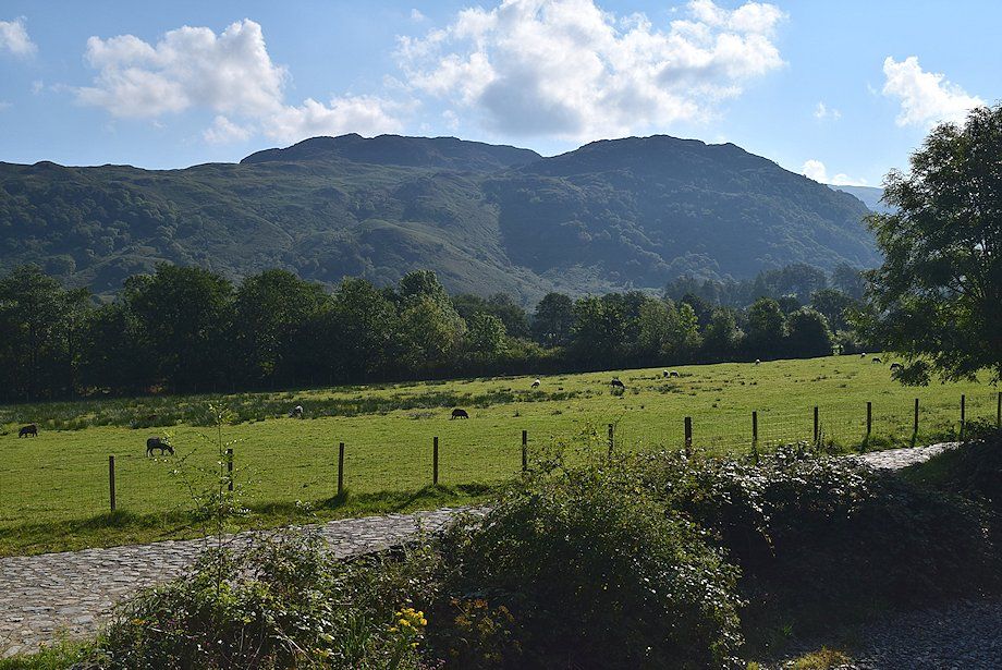
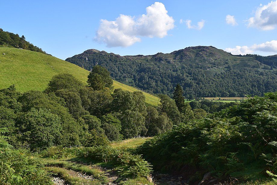
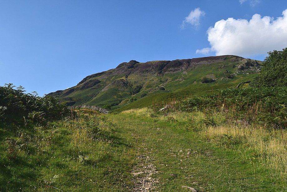
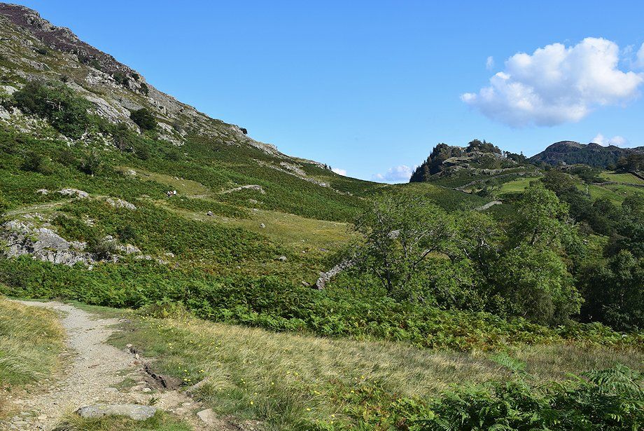
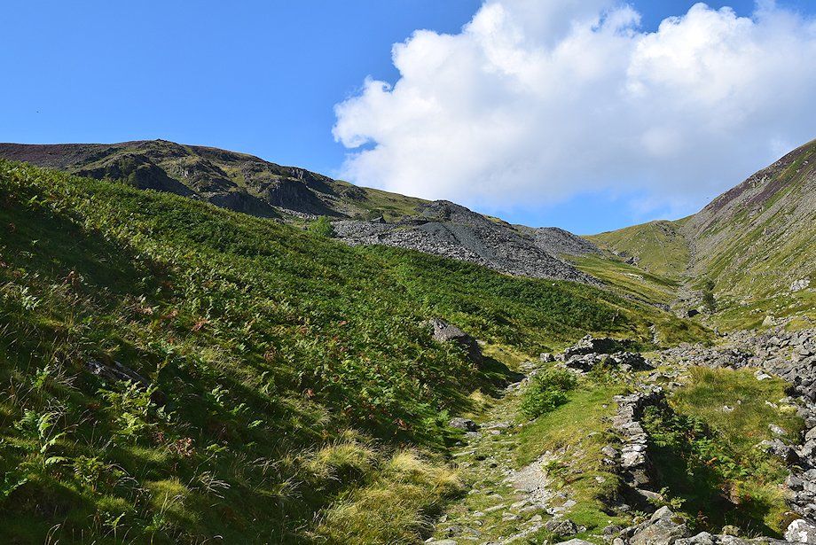
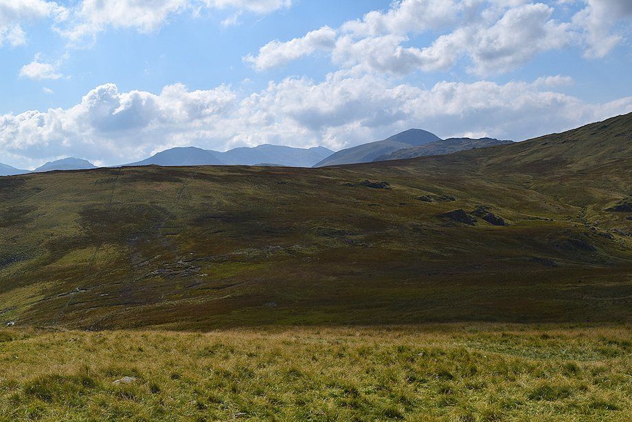
| The route of ascent, Tongue Gill, flanked by High Scawdel and Low Scawdel seen from the Yew Free Farm lane |
 |
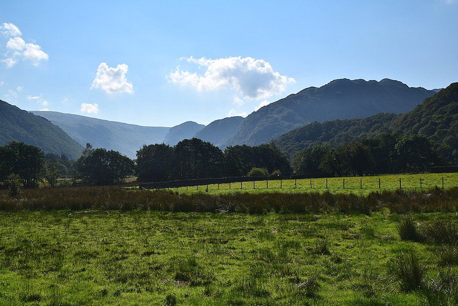
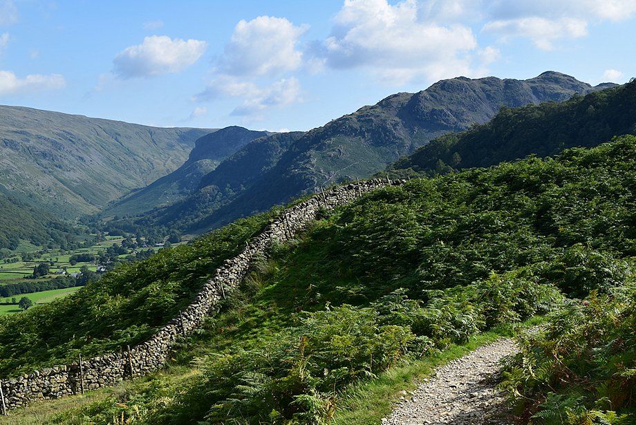
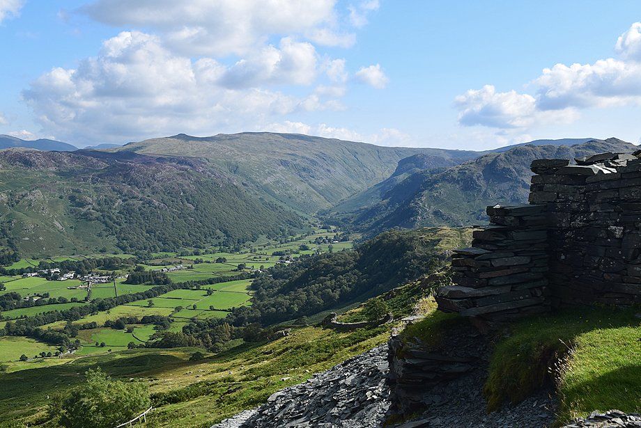
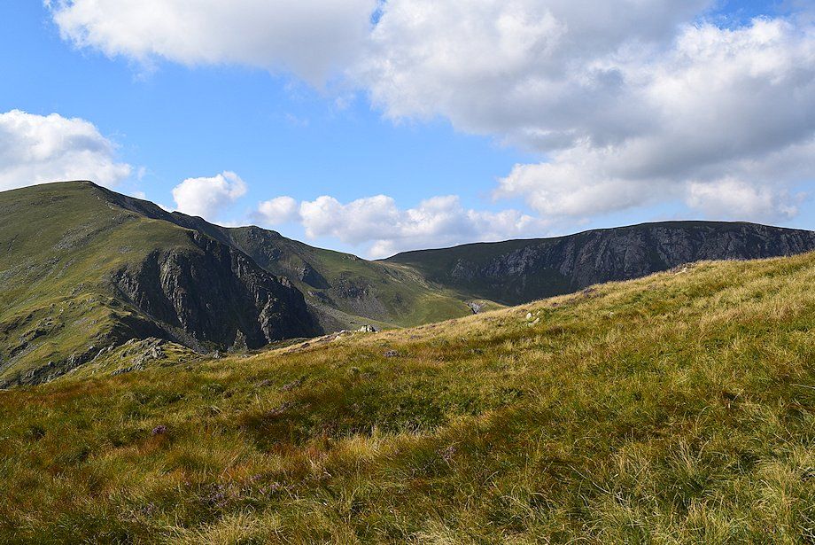
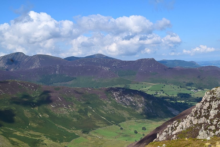
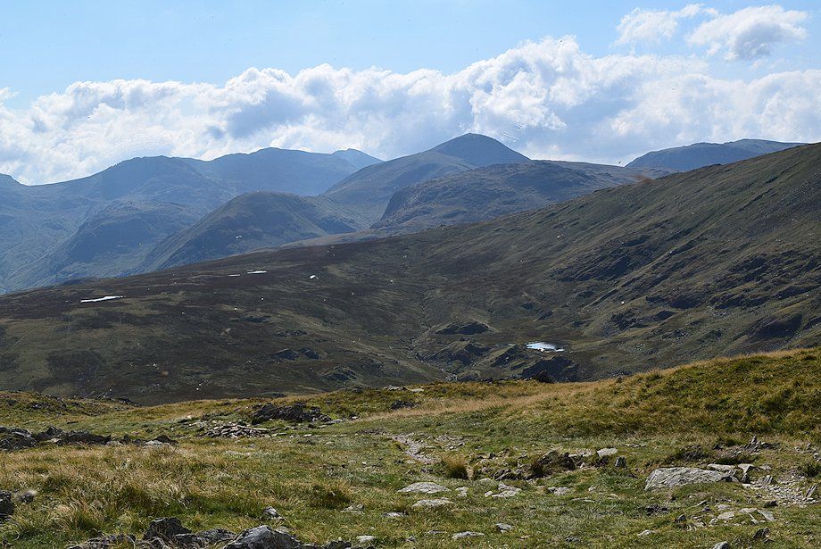
| Maiden Moor and Catbells between Castle Crag and King's How |
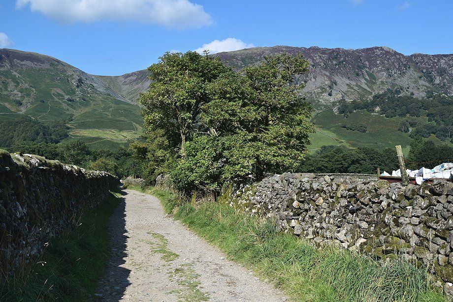 |
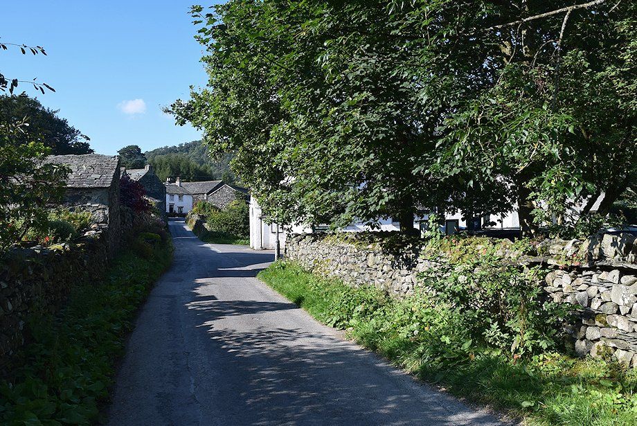
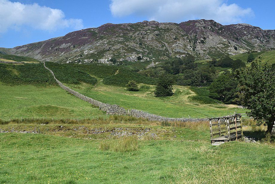
| A walled lane leads on from Yew Tree Farm towards the River Derwent |
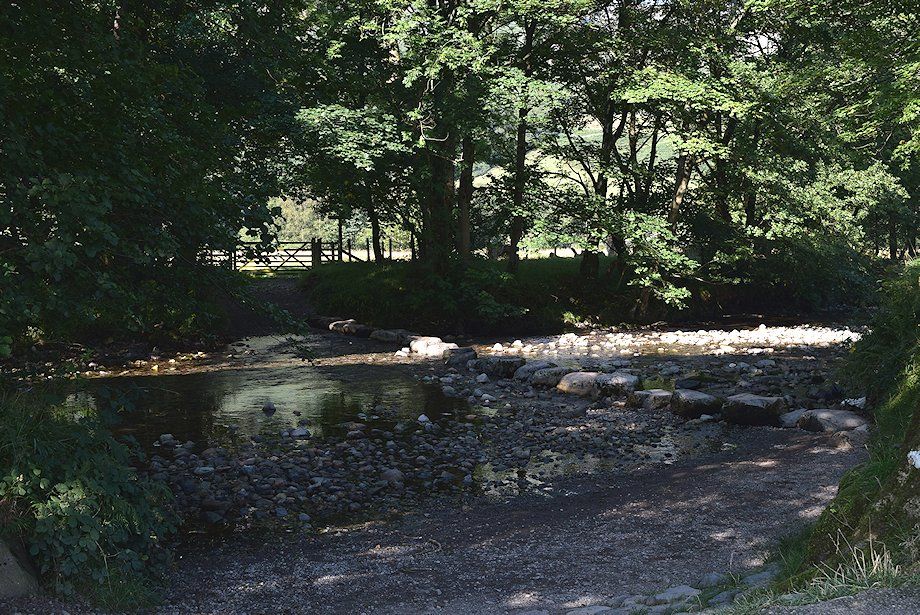 |
| There is an early opportunity to cross the river by stepping stones over the ford, otherwise continue on the broad path alongside the riverbank for about 300 yards towards New Bridge |
 |
| Castle Crag from the path to New Bridge |
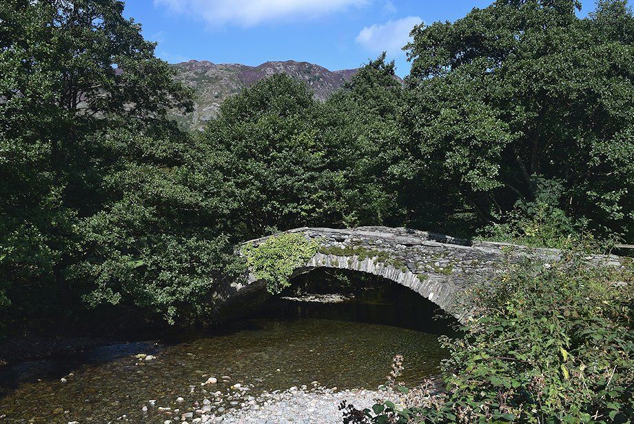 |
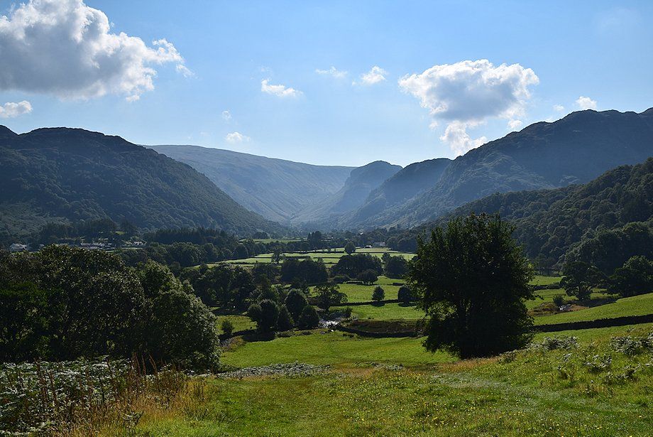
| New Bridge, not all that 'new', was built almost a hundred years ago to replace an earlier one which was swept away in a storm |
 |
| Looking back towards Great Crag from New Bridge |
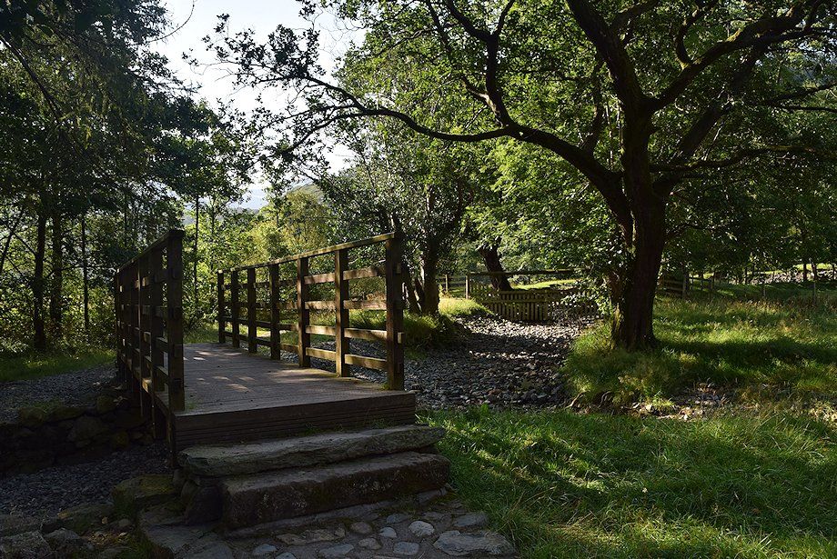 |
| On crossing New Bridge turn left along the river side path and cross the footbridge over Tongue Gill |
 |
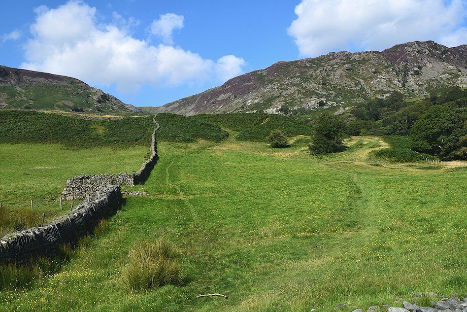
| Shortly after crossing the Tongue Gill footbridge turn away from the River Derwent and follow a green path which runs alongside a flood embankment |
 |
| Looking back towards Ullscarf, Eagle Crag and Rosthwaite Fell from the path alongside the flood embankment |
 |
| After about 150 yards the path crosses a simple plank bridge over a tributary of Tongue Gill and enters another field via a stile |
 |
| From the stile a diagonal path leads up to a cart track which rises to join the bridleway which runs between Seatoller and Grange |
 |
| Looking back to Eagle Crag flanked by Ullscarf and Rosthwaite Fell |
 |
| Looking back towards King's How and Brund Fell from the cart track |
 |
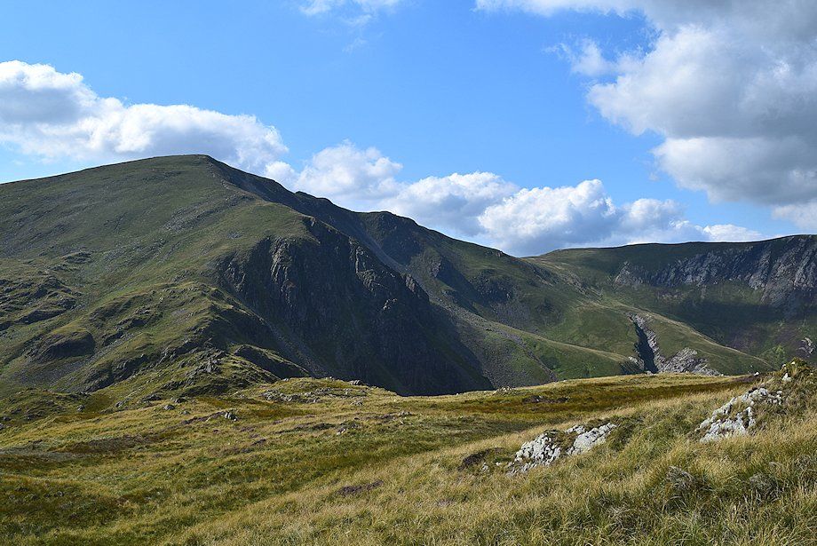
| High Scawdel from the cart track |
 |
| Ignore the wall stile on the left and continue on to join the Seatoller~Grange bridleway |
 |
| Looking back towards Great Crag, Ullscarf, Eagle Crag and Rosthwaite Fell |
 |
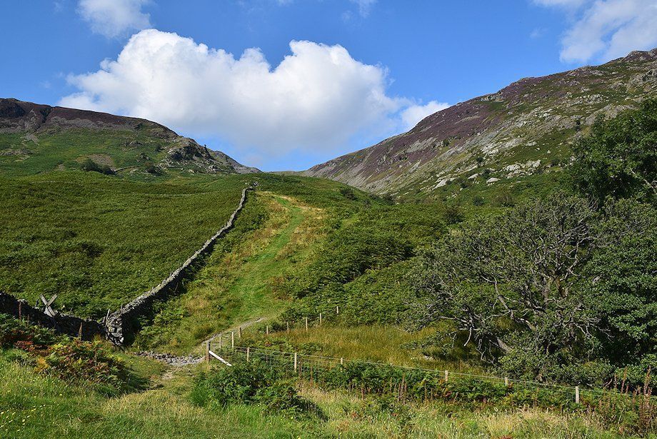
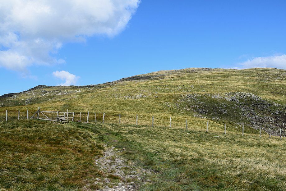
| Approaching the line of the Seatoller~Grange bridleway. The bridleway forms part of the popular Allerdale Ramble long distance path |
 |
| Castle Crag and King's How from the Seatoller~Grange bridleway |
 |
| Rosthwaite Fell from the Seatoller~Grange bridleway |
 |
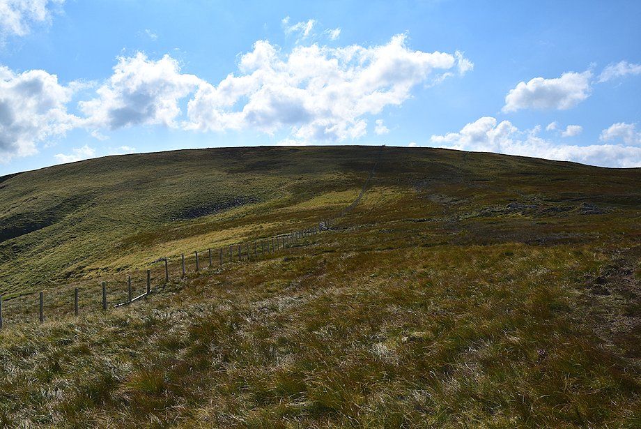
| The path crosses the bridleway and leads up towards Tongue Gill |
 |
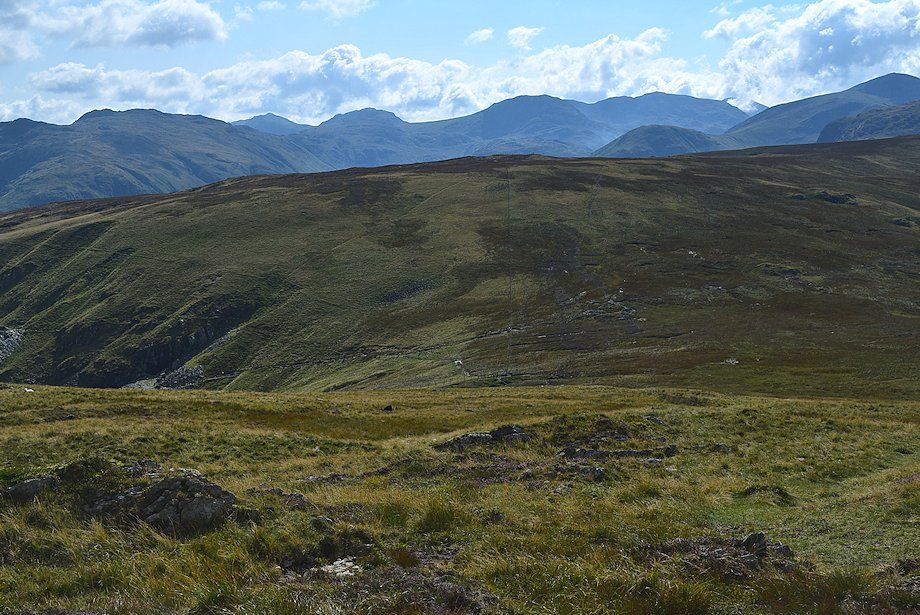
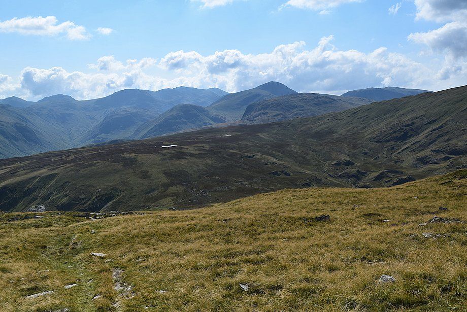
| Looking back, Raise, Whiteside and Helvellyn appear over the central ridge |
 |
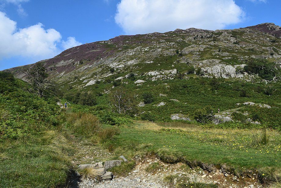
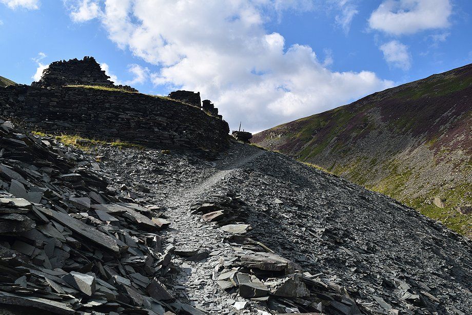
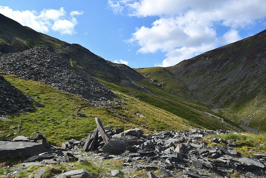
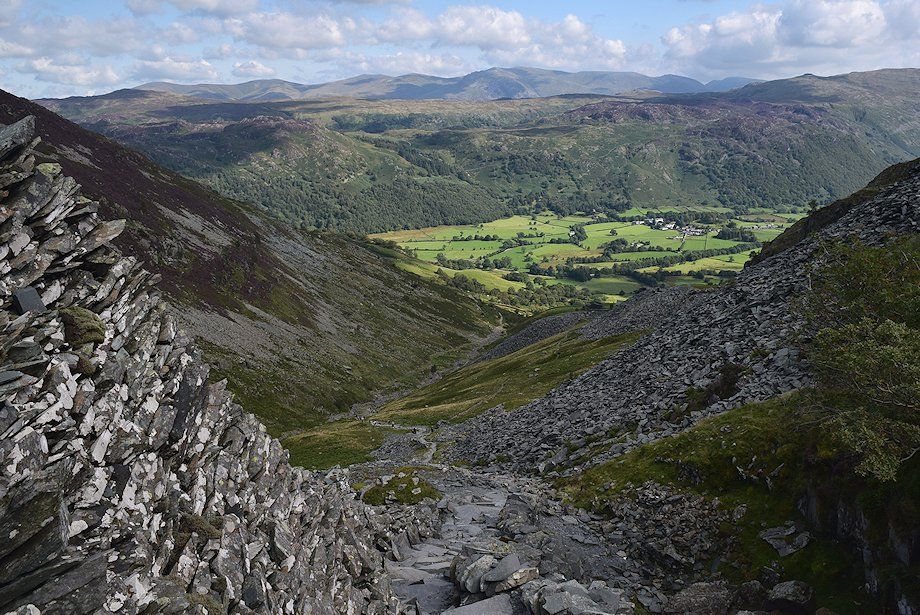
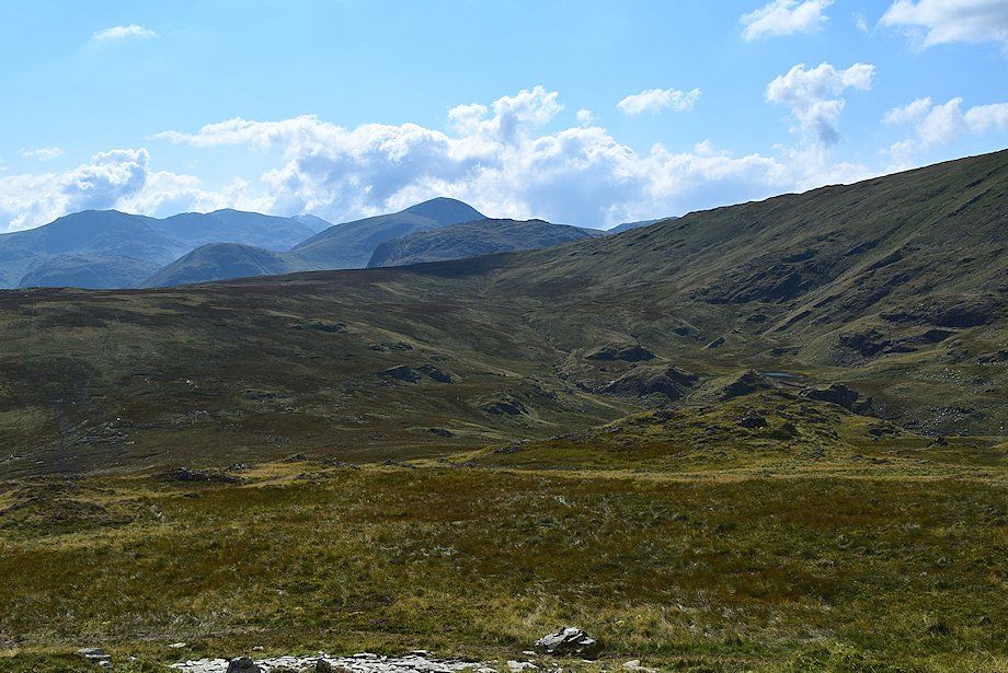
| Looking up to the head of Tongue Gill and the disused Rigghead Quarries on the slopes of High Scawdel |
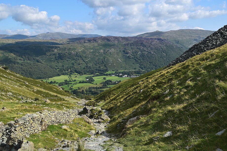 |
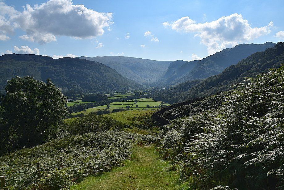
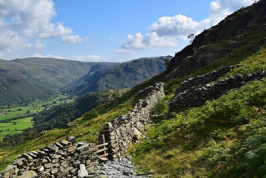
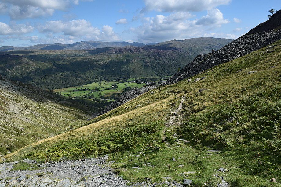
| Looking back to Rosthwaite |
 |
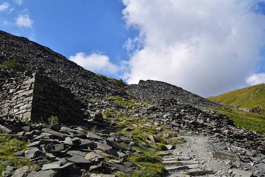
| The main path crosses a stile and follows the stream before veering left to climb the spoil heaps of the upper quarries |
 |
| Either carry on over the stile or, more interestingly, turn up an old incline to visit the lower and middle quarries |
 |
| Rosthwaite Fell from lower Rigghead Quarry |
 |
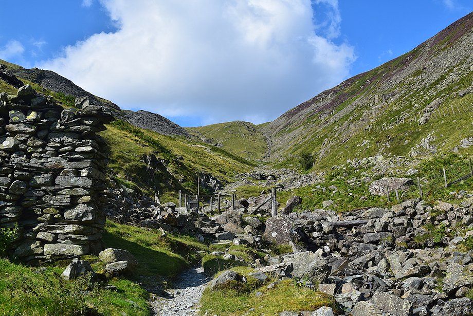
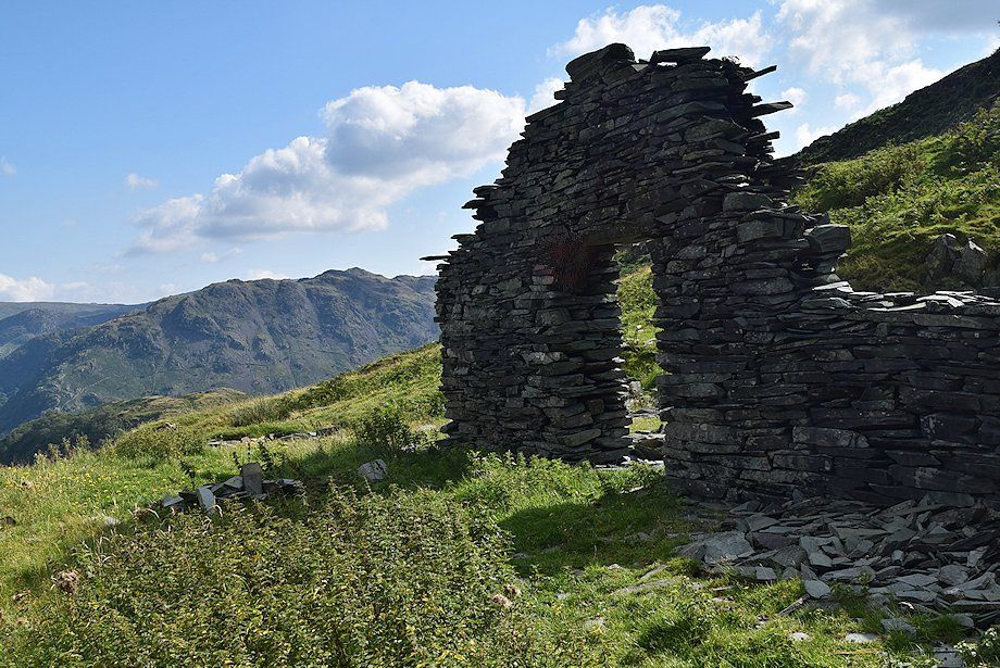
| Carry on past the ruined building and mine adit to join a path which rises to a stile in the wall below the middle quarry spoil bank |
 |
| The stile below the middle quarry spoil bank |
 |
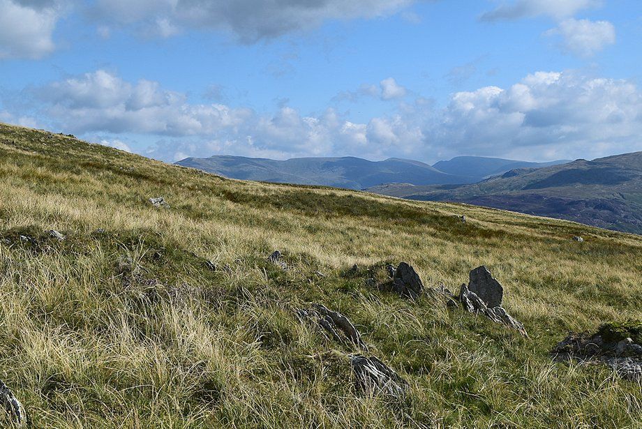
| Looking back from the stile towards Ullscarf, Eagle Crag and Rosthwaite Fell |
 |
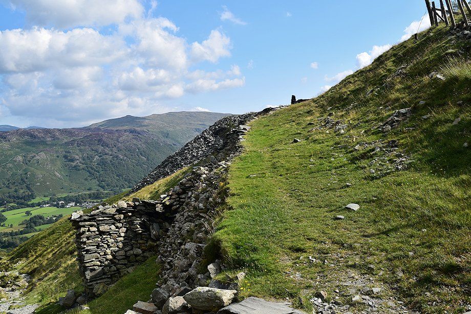
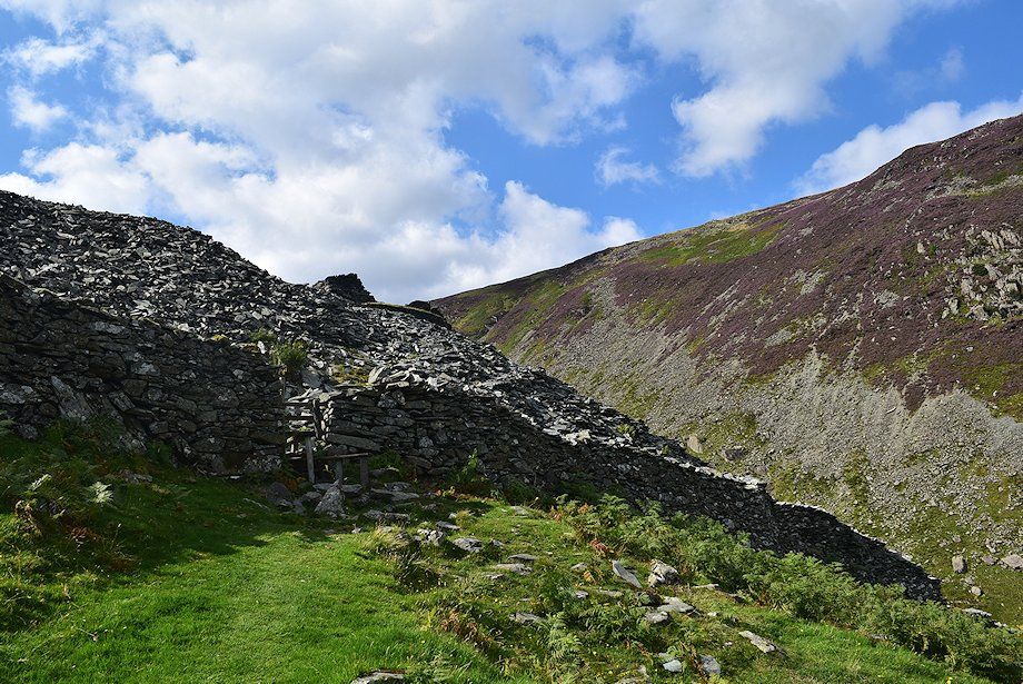
| Approach the top of the middle quarry spoil bank, one of the buildings on it has been restored and converted into a climbing hut |
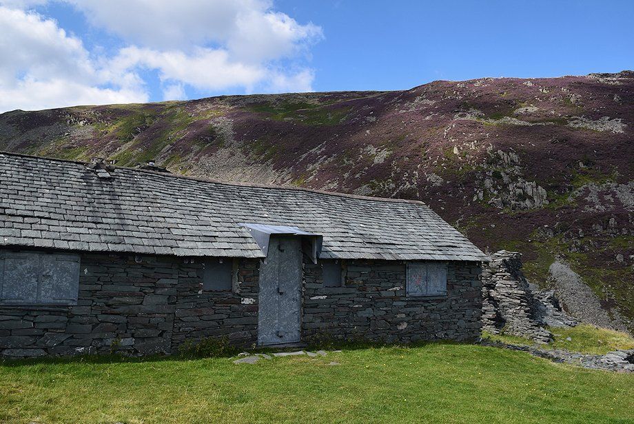 |
| The locked and shuttered climbing hut |
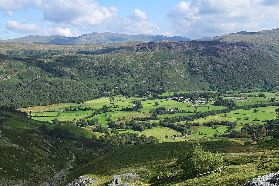 |
| Looking down on Rosthwaite from the climbing hut |
 |
| Ullscarf from the climbing hut. The summit of High Raise, the highest of the central fells, can be seen on the right over Rosthwaite Fell |
 |
| From the climbing hut a fairly level path traverses over the slope to join the main path which can be seen ascending towards the upper quarry |
 |
| Looking back from the junction of the paths |
 |
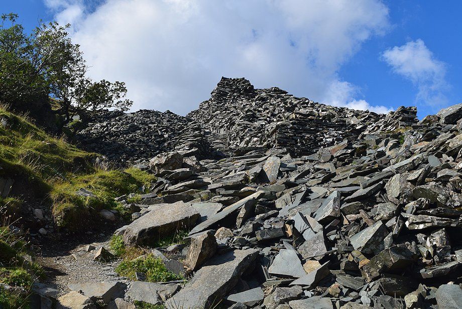
| The climb to the upper quarry is short but is probably the steepest part of this ascent |
 |
| Near the top of the quarry the path is stone pitched, there being plenty of material available from the spoil heap to construct it! |
 |
| The Helvellyn range from the upper quarry |
 |
| Robin Fold Edge, a subsidiary top of High Spy, from the ruined buildings of the upper quarry |
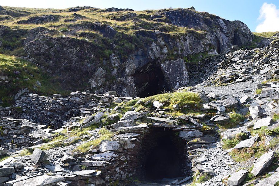 |
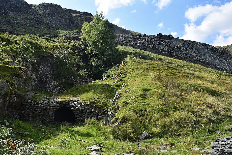
| The mine adits of the upper quarry |
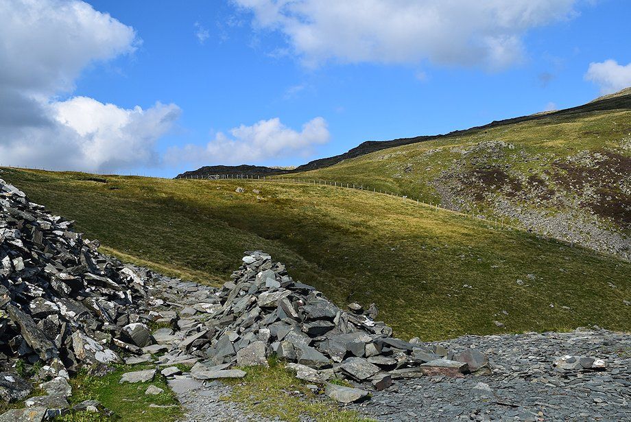 |
| From the upper quarry the path leads around the head of Tongue Gill to a stile in the corner of a fence |
 |
| Robin Fold Edge from the head of Tongue Gill |
 |
| The summit of Dale Head from the head of Tongue Gill |
 |
| Robin Fold Edge from the stile. The path divides and the left branch heads towards Dalehead Tarn. Continue straight ahead |
 |
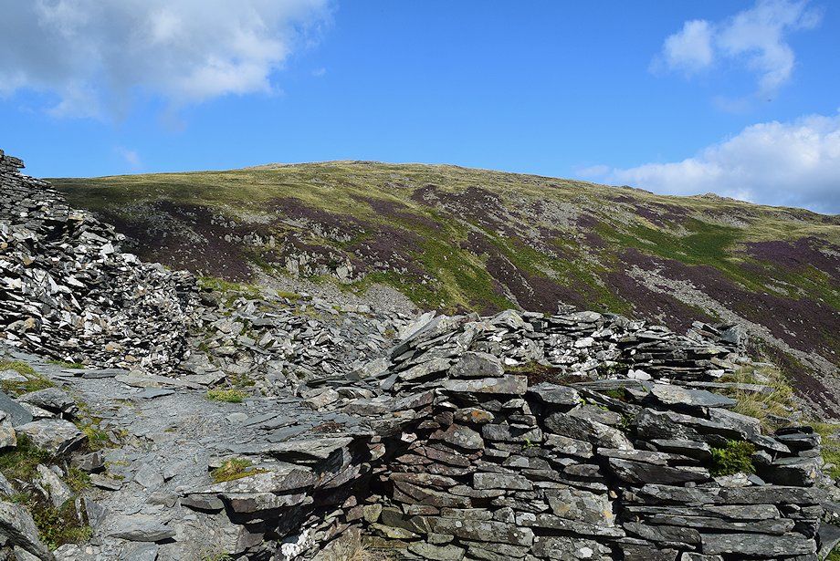
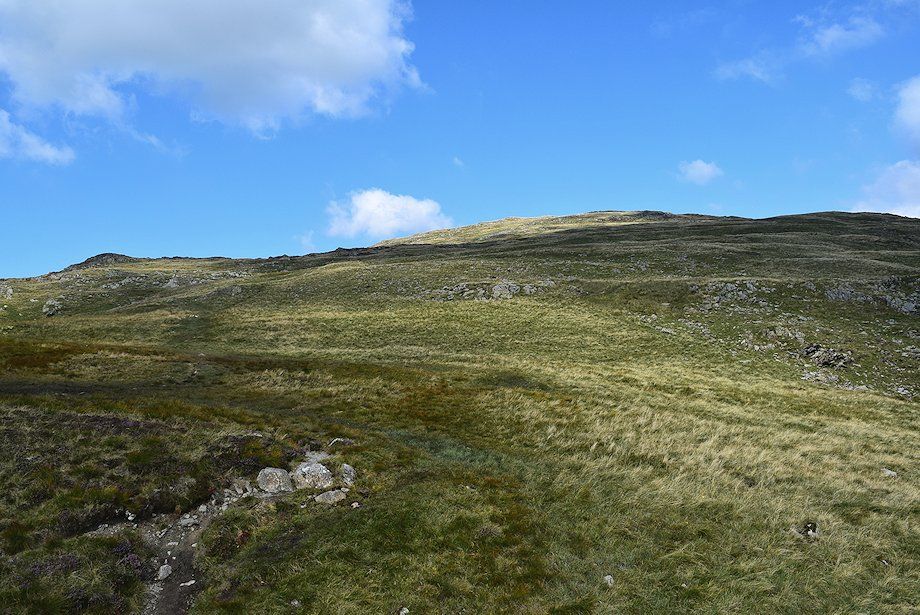
| Looking up to top of High Scawdel from the head of Tongue Gill |
 |
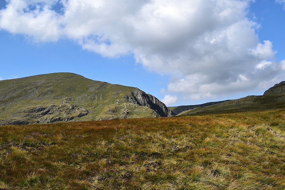
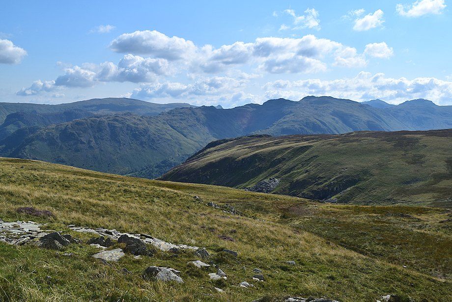
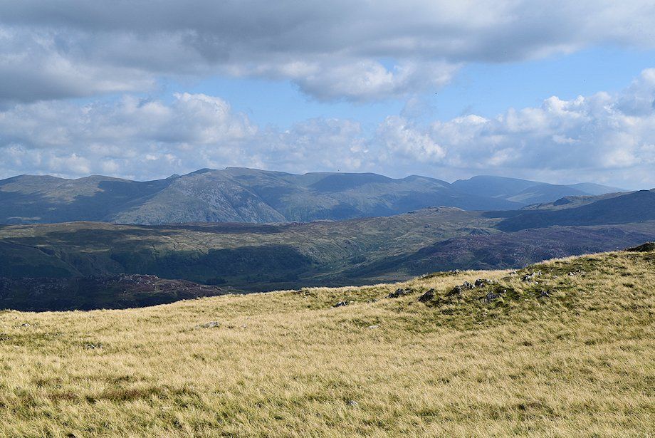
| Looking back, Esk Pike, the Scafells, Great Gable and Grey Knotts appear over the High Scawdel~Dale Head ridge |
 |
| Dale Head and Hindscarth from the climb to Robin Fold Edge |
 |
| Half way on the climb to Robin Fold Edge |
 |
| Looking across towards Helvellyn, Nethermost Pike, Dollywaggon Pike and Fairfield |
 |
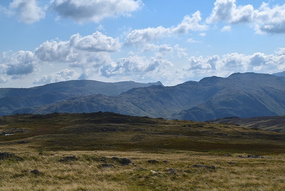
| Looking back, Glaramara, Bowfell, Esk Pike, the Scafell group and Great Gable over High Scawdel |
 |
| Looking over to Dalehead Crags |
 |
| Looking back, High Raise over Rosthwaite Fell on the left with the Langdale Pikes over Rosthwaite Cam in the centre, and Glaramara, Bowfell and Esk Pike over High Scawdel to the right |
 |
| Dalehead Tarn comes into view |
 |
| Approaching the top of Robin Fold Edge |
 |
| Ullscarf and High Raise from near the top of Robin Fold Edge |
 |
| Skiddaw and Blencathra appear over the top of Robin Fold Edge |
 |
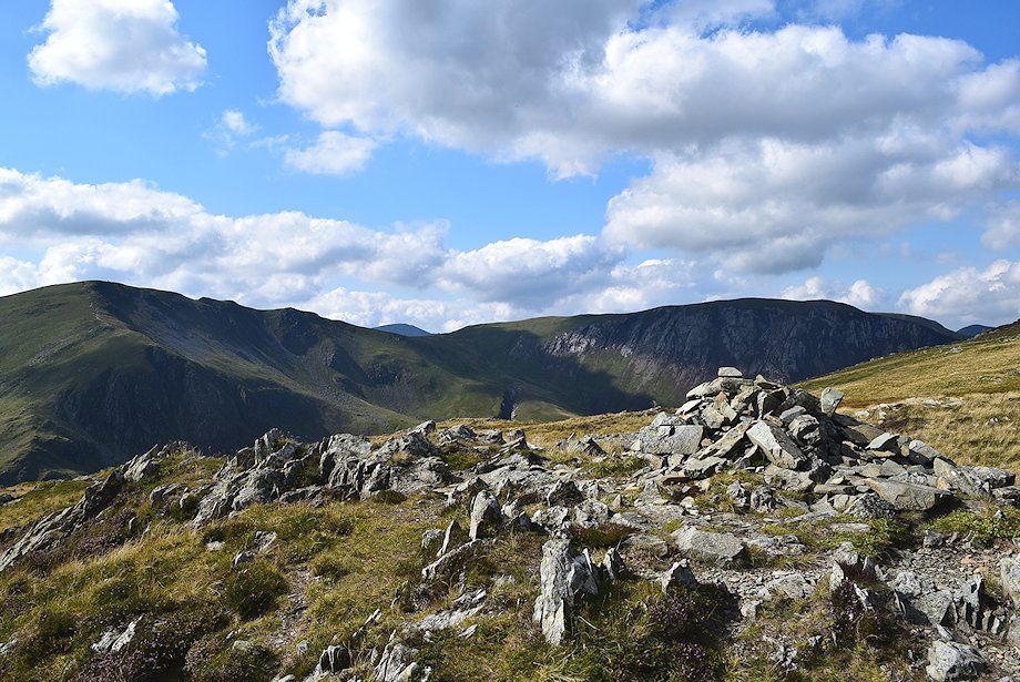
| The cairn on the top of Robin Fold Edge |
 |
| High Raise, the Langdale Pikes, Glaramara, Bowfell, Esk Pike and Great End from the top of Robin Fold Edge |
 |
| Bowfell, Esk Pike, the Scafells, Great Gable, Grey Knotts and Kirk Fell form the horizon from the top of Robin Fold Edge |
 |
| Dale Head and Hindscarth from the cairn on Robin Fold Edge |
 |
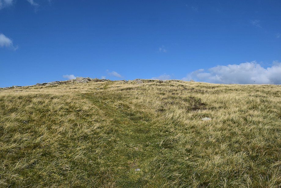
| From the top of Robin Fold Edge the path leads up an open slope to the summit of High Spy |
 |
| Lonscale Fell and Blencathra on the left with Clough Head above Bleaberry Fell on the right, viewed from the path to the summit of High Spy |
 |
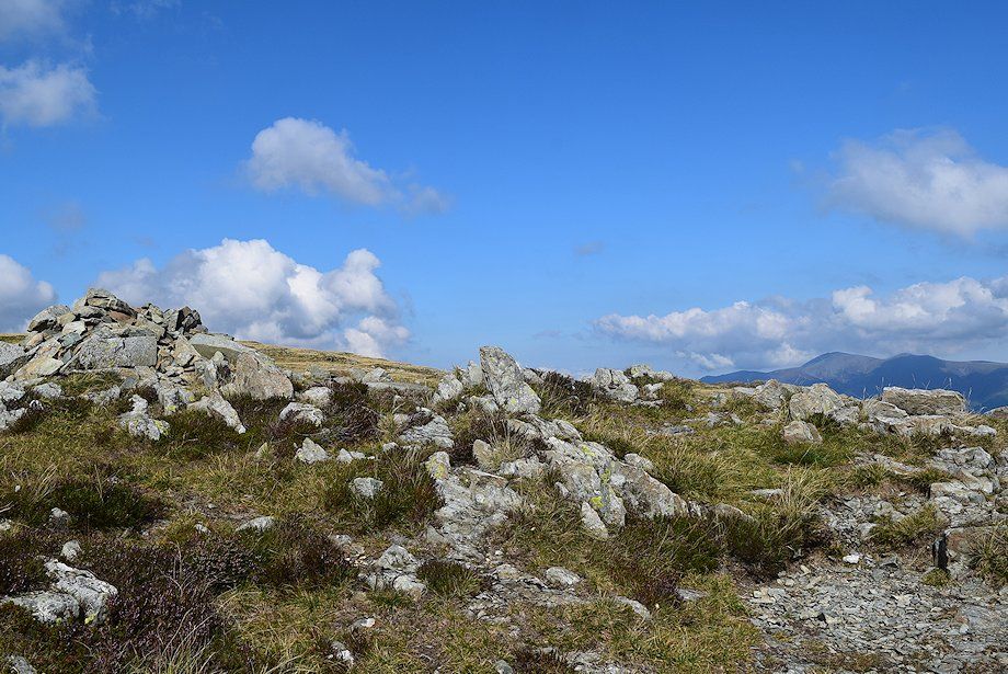
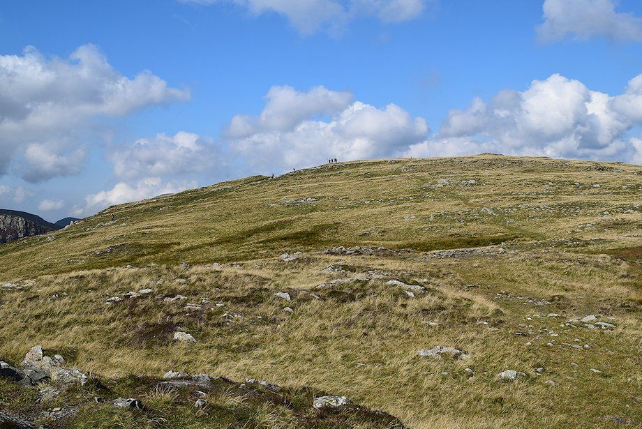
| Approaching the summit of High Spy |
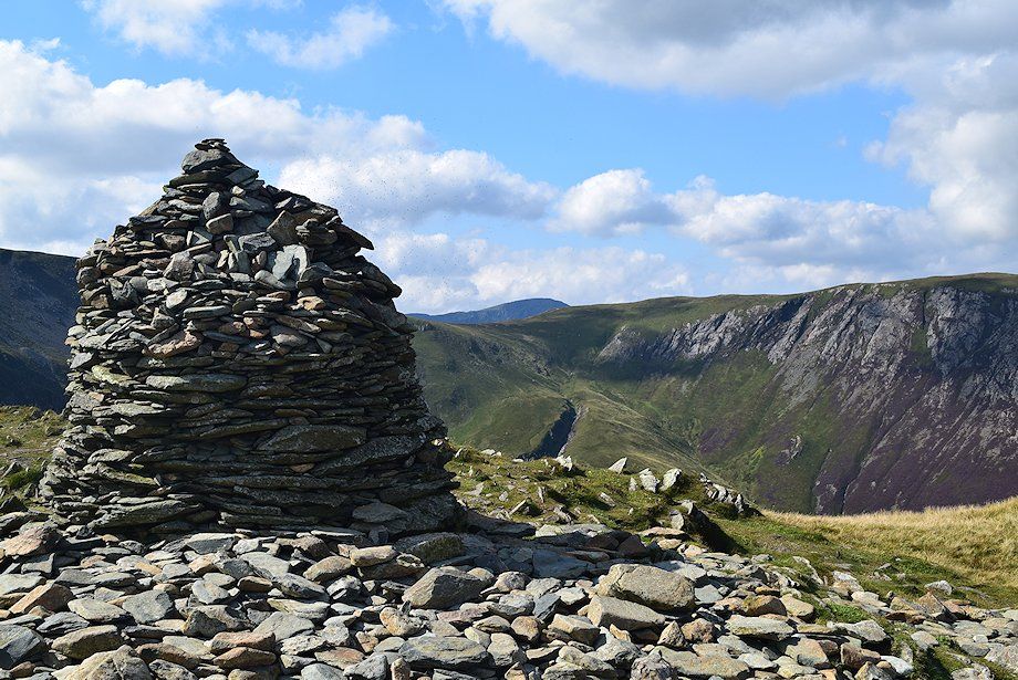 |
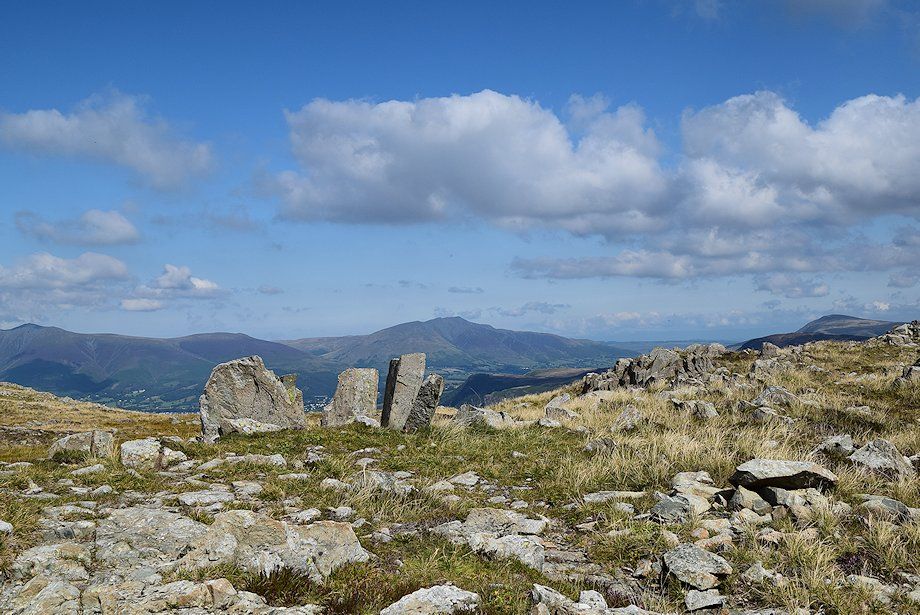
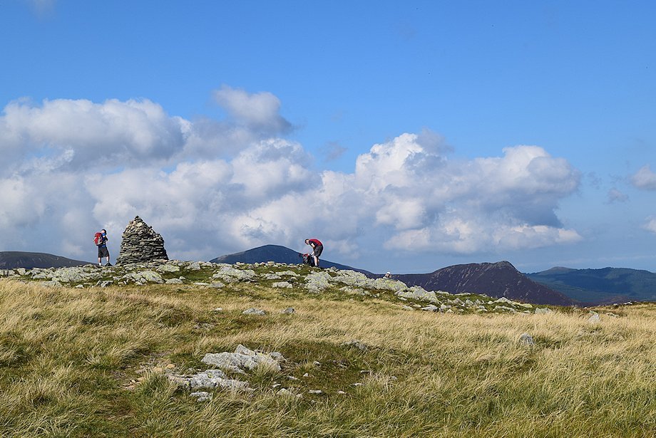
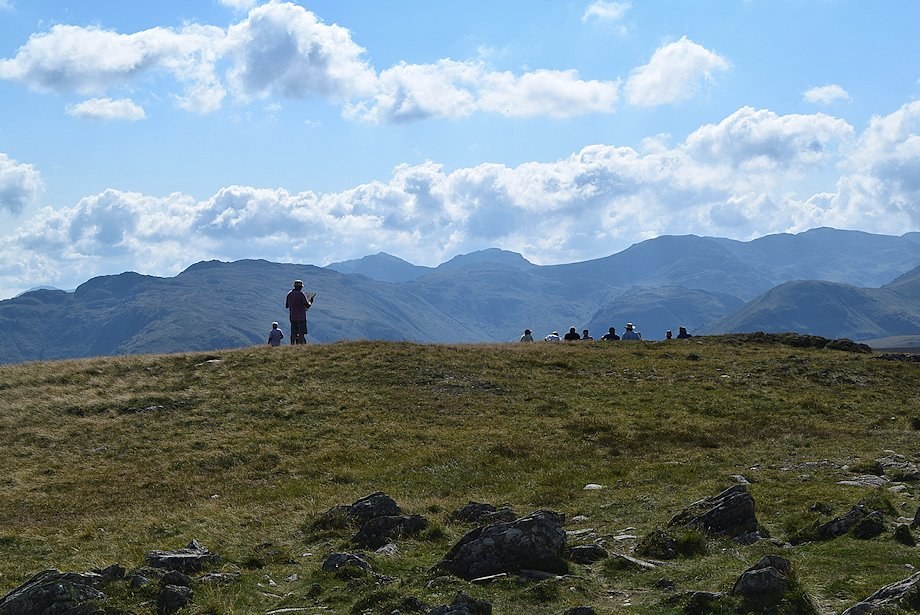
| The summit cairn on High Spy |
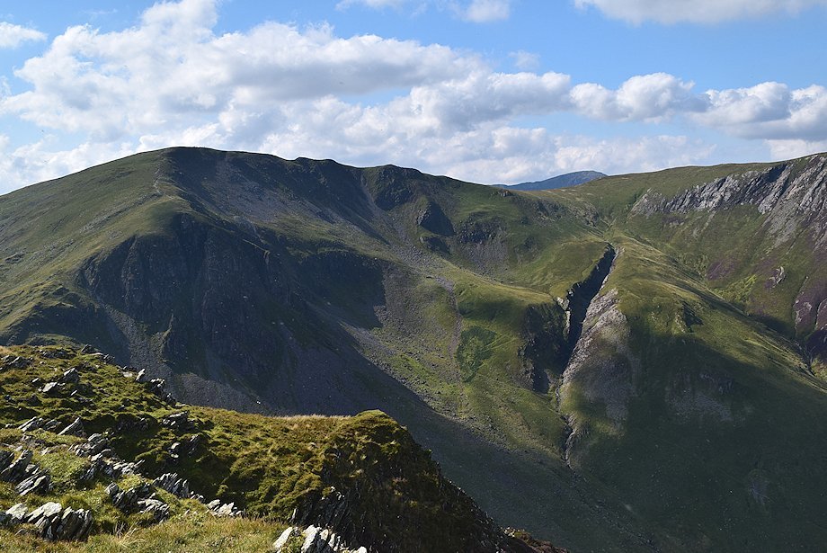 |
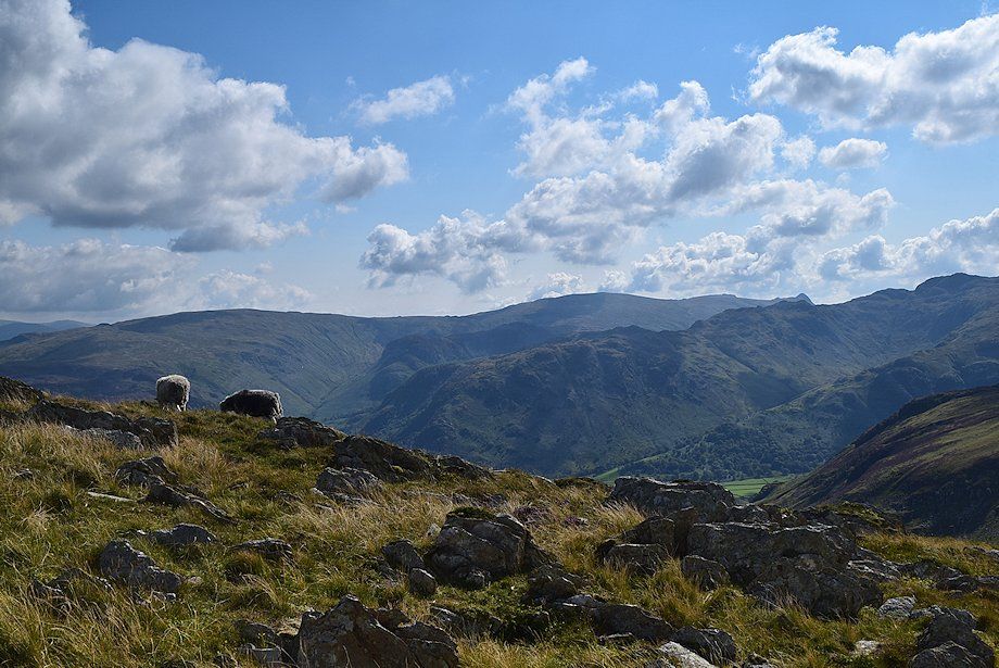
| Dale Head wth High Stile over Hindscarth Edge |
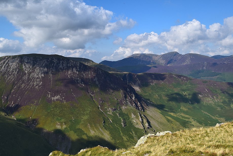 |
| Hindscarth, Whiteless Pike, Grasmoor, Eel Crag and Sail from the summit of High Spy |
 |
| Eel Crag and Sail above Ard Crags on the left, Grisedale Pike above Scar Crags in the centre with the Whinlatter fells in the distance between Causey Pike and Barrow on the right |
 |
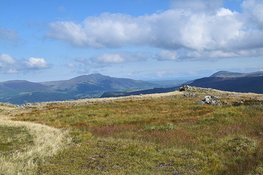
| The Skiddaw group from the summit of High Spy |
 |
| Blencathra from the summit of High Spy |
 |
| Clough Head, Great Dodd, Watson's Dodd, Stybarrow Dodd and Raise form the skyline above the central ridge |
 |
| Stybarrow Dodd, Whiteside, Catstycam, Helvellyn, Nethermost Pike, Dollywaggon Pike, Fairfield and Great Rigg over the central ridge |
 |
| Ullscarf from the summit of High Spy |
 |
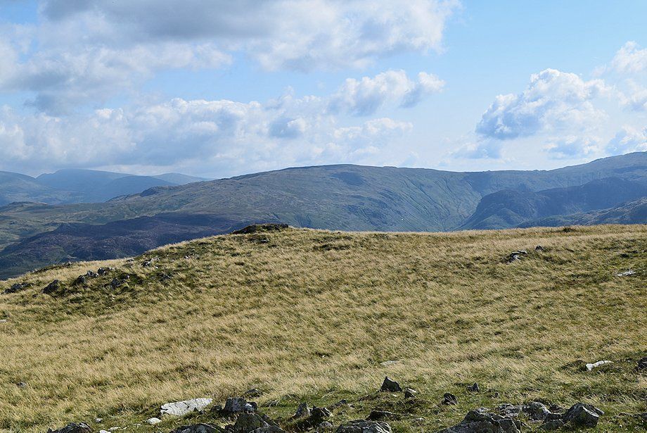
| Looking back to the top of Robin Fold Edge |
 |
| Glaramara, Bowfell, Esk Pike, Great End and Scafell Pike from the summit of High Spy |
 |
| The Scafells and Great Gable from the summit of High Spy |
