 |
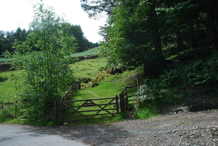
| Almost opposite the Armboth car park a signpost and handgate marks the start of the footpath to Watendlath |
 |
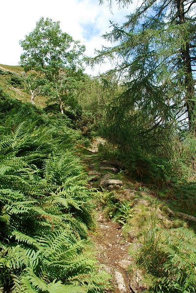
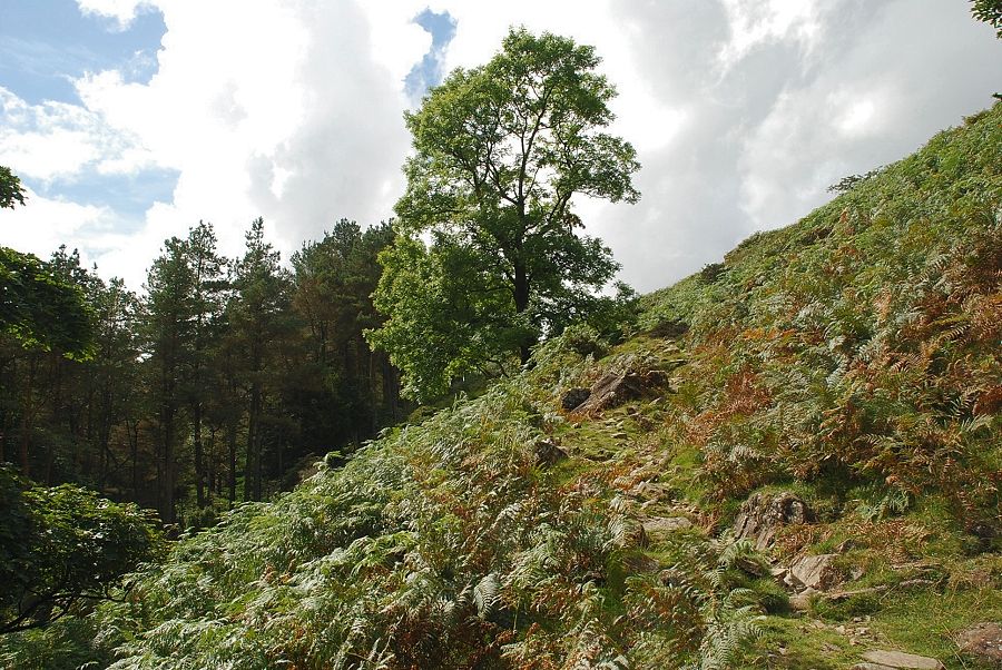
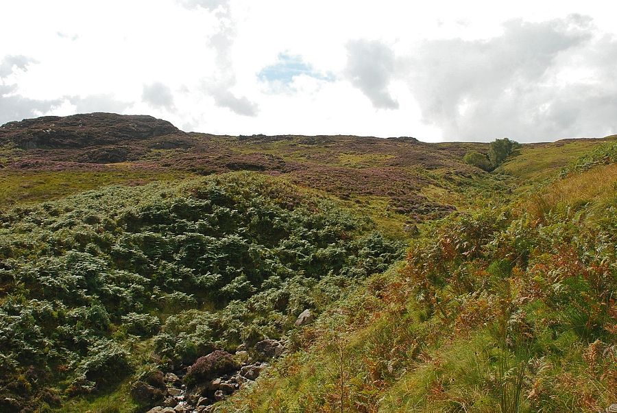
| After crossing a little bridge spanning Middlesteads Gill and passing through a sheep pen the path climbs the open slope beneath Cockrigg Crags |
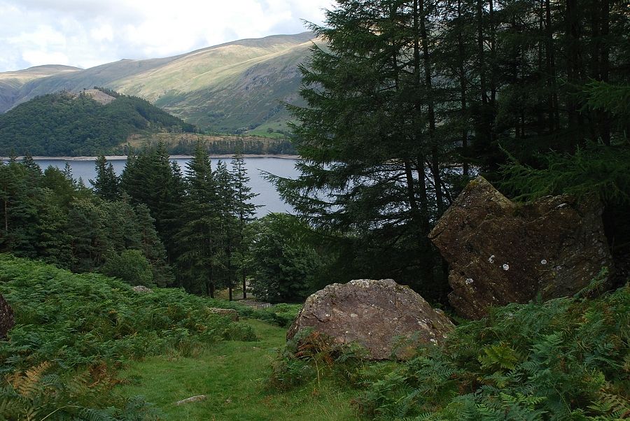 |
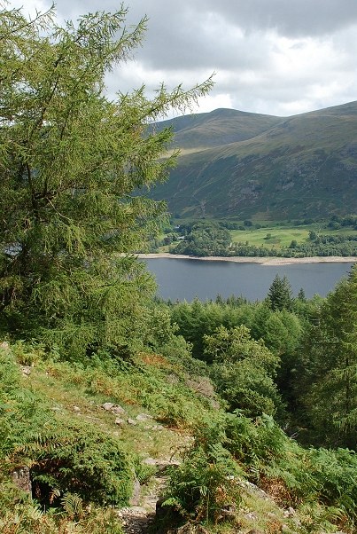
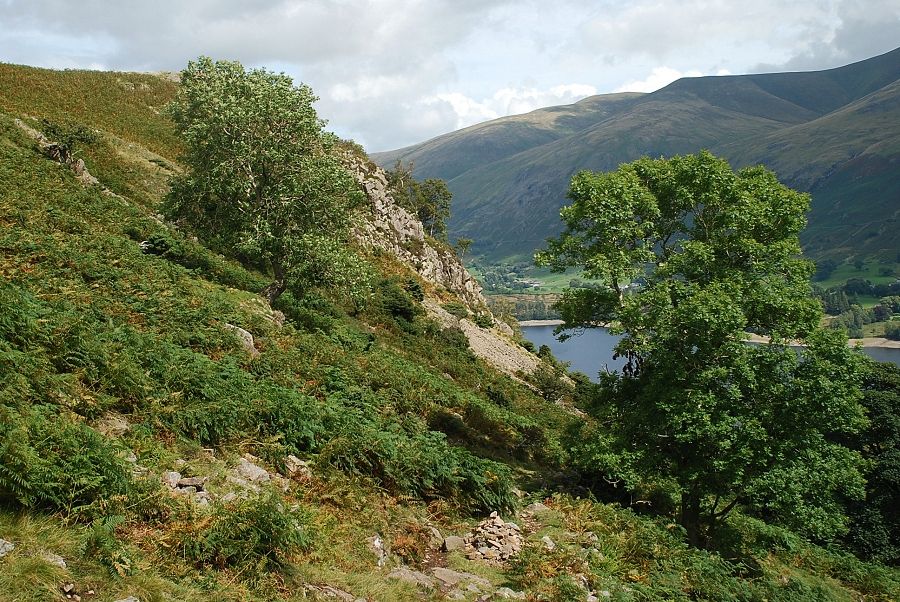
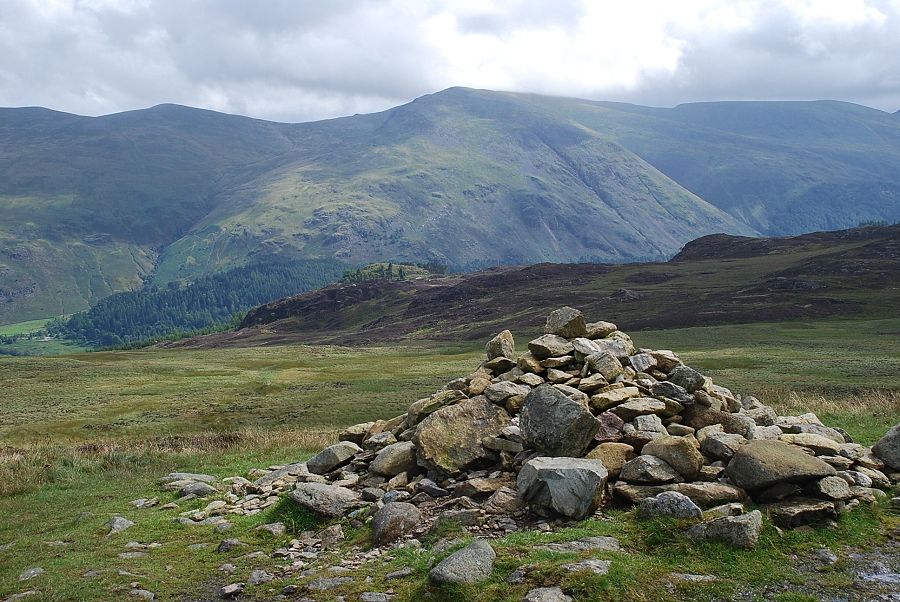
| Looking back to Thirlmere from the "big boulders" which AW noted on his diagram of this ascent |
 |
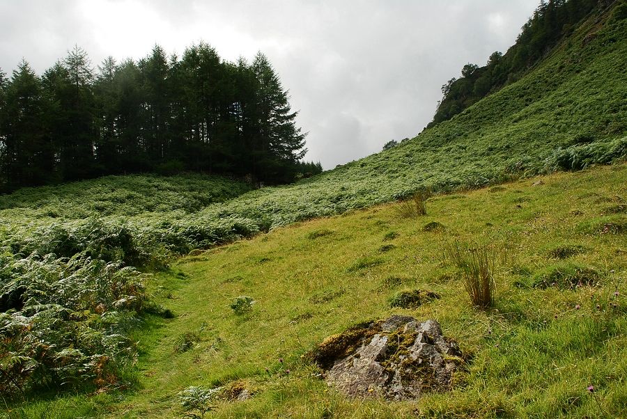
| Higher up the path becomes constrained between the forestry fence and the steep slopes below Cockrigg Crags |
 |
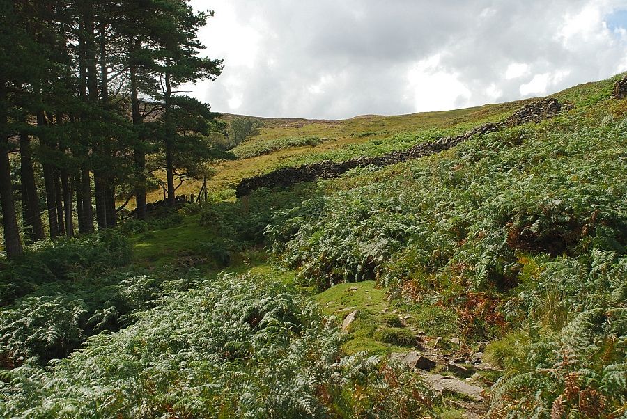
| The path then switches back away from the forest fence and climbs a series of zig-zags |
 |
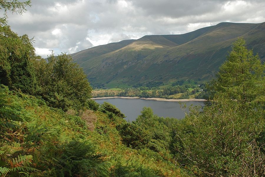
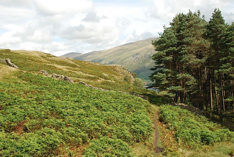
| Looking back to Thirlmere from the top of the first zig-zag |
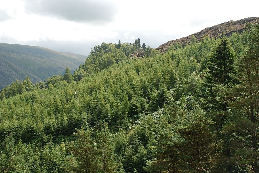 |
| Looking across the forest to the top of Fisher Crag |
 |
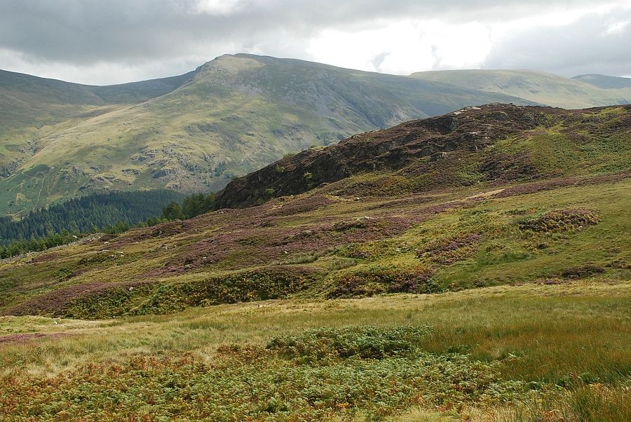
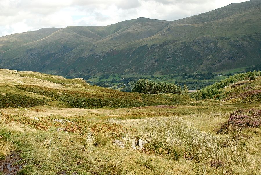
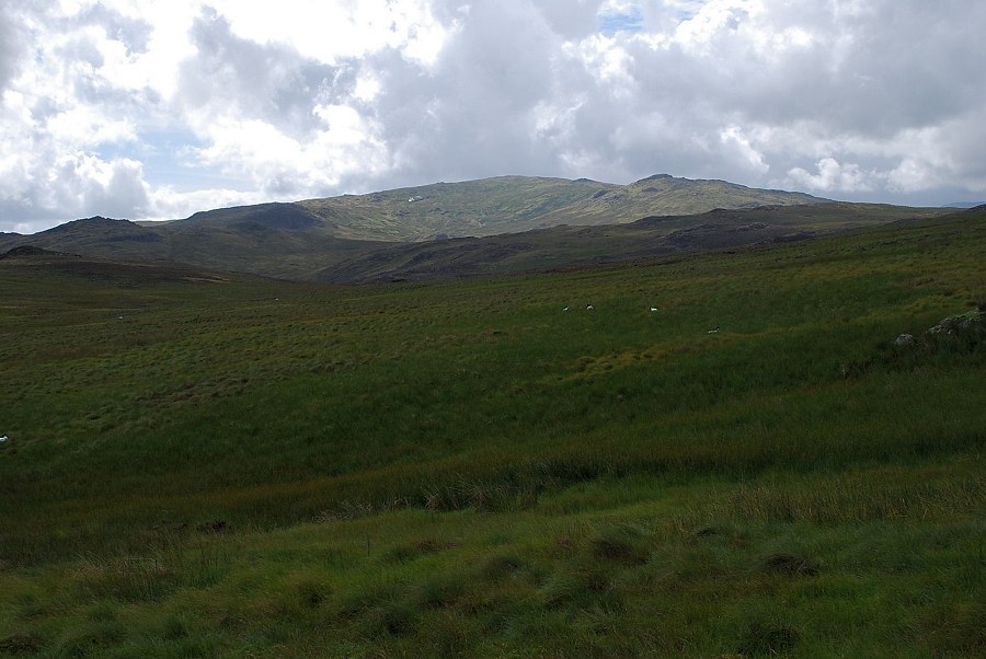
| The Helvellyn Dodds from the path below Cockrigg Crags |
 |
| After the zig-zags the path resumes its course towards the ridge line passing above a prominent sycamore tree |
 |
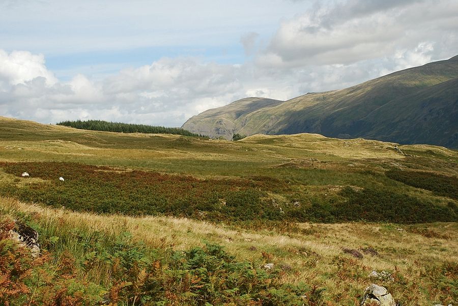
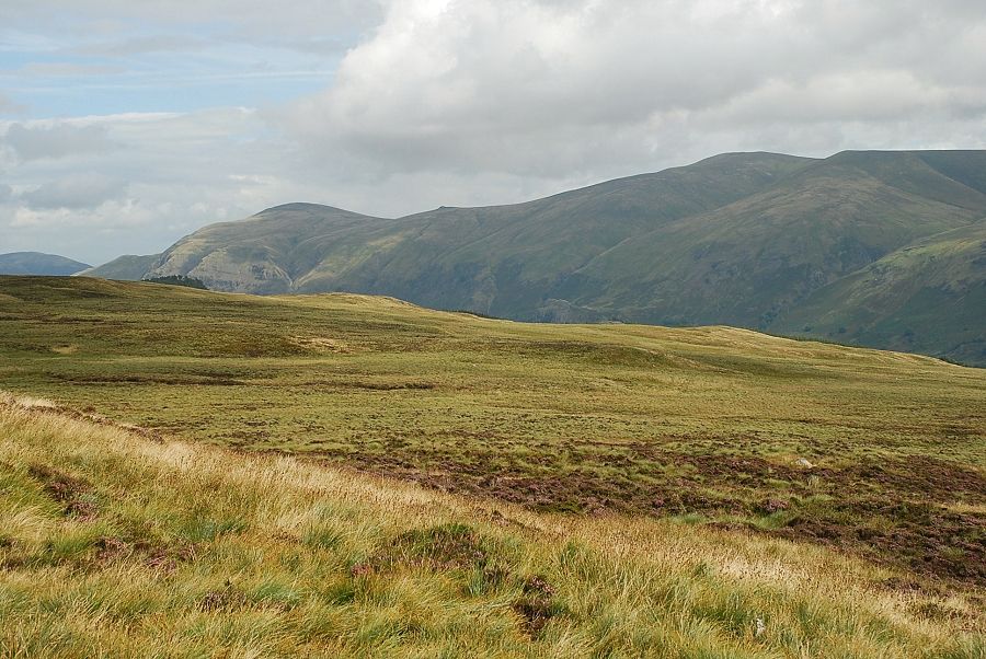
| Looking back towards Great Dodd and Watson's Dodd above Thirlmere |
 |
| Approaching the wall gap at the top edge of the forest |
 |
| Looking back from the top of the forest |
 |
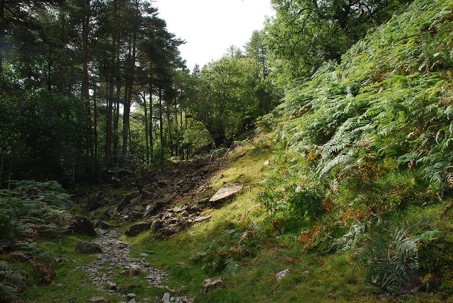
| The path continues on, less distinct now, by the side of Fisher Gill before crossing one of its tributaries |
 |
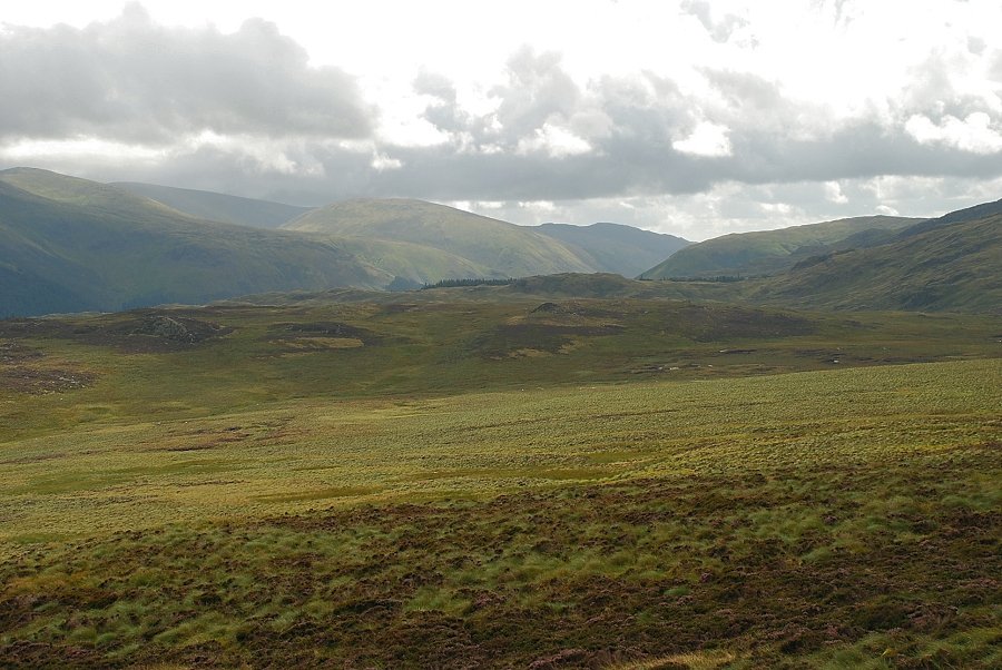
| Looking back over the Fisher Gill tributary to Clough Head |
 |
| From the same position looking to Helvellyn, Nethermost Pike and Dollywaggon Pike |
 |
| A prominent rock marks the end of what up to now has been a reasonably dry path. From here on it crosses very wet and boggy ground on the way to the summit |
 |
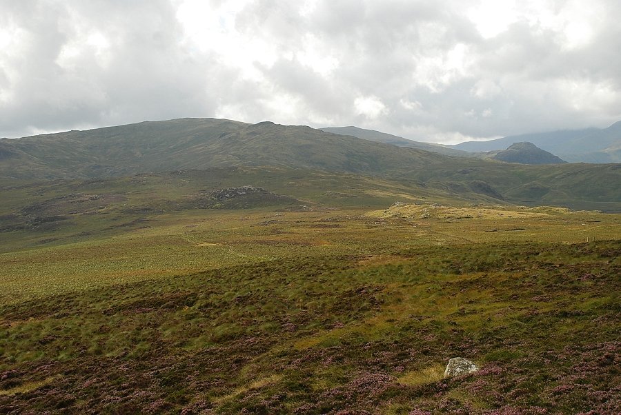
| Looking back to the Helvellyn Dodds from the prominent rock |
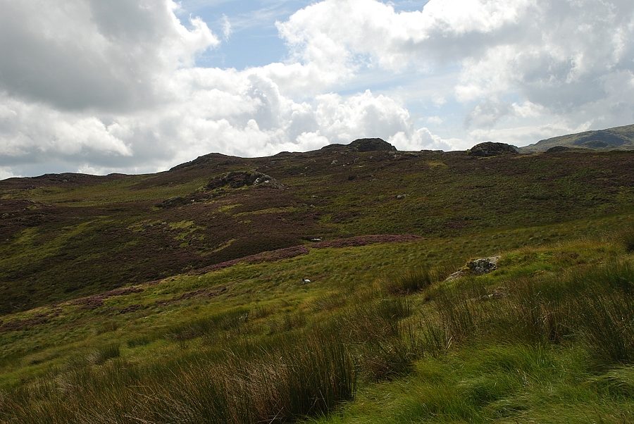 |
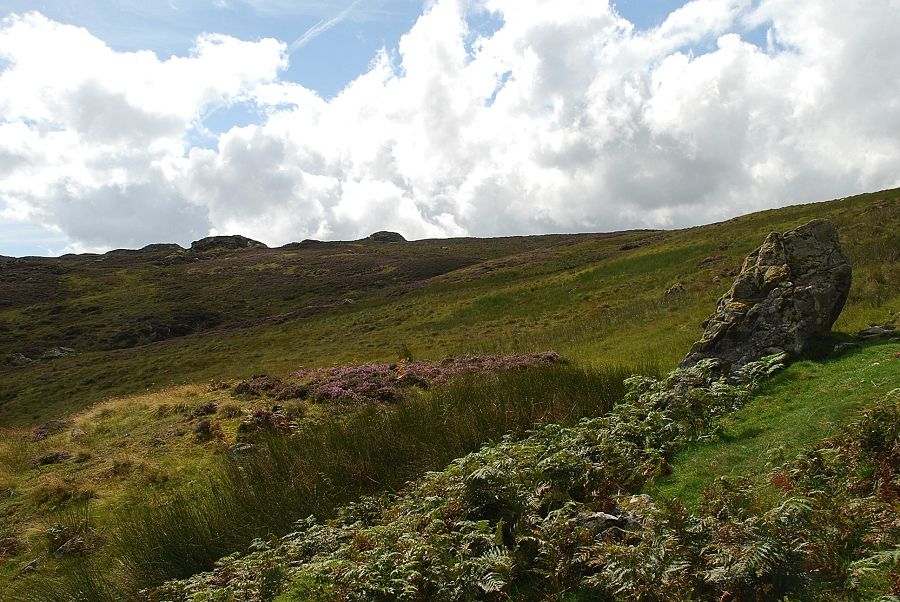
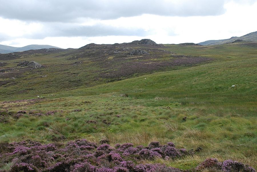
| The rock tors of nearby Armboth Fell from the prominent rock |
 |
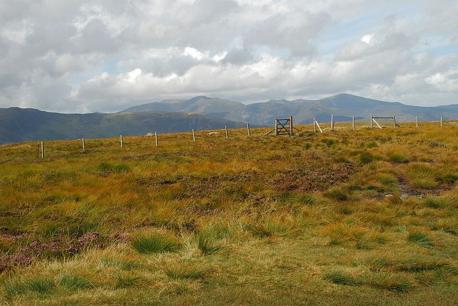
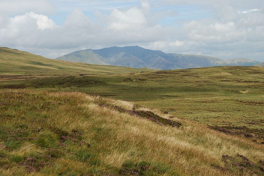
| The top of Blencathra appears over the top of the ridge that leads to High Seat |
 |
| The summit of High Tove comes into view |
 |
| Sunlight illuminates the summit of Ullscarf to the south |
 |
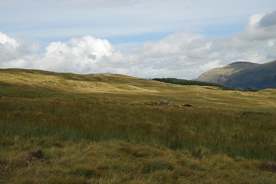
| Almost at the same height as Armboth Fell now |
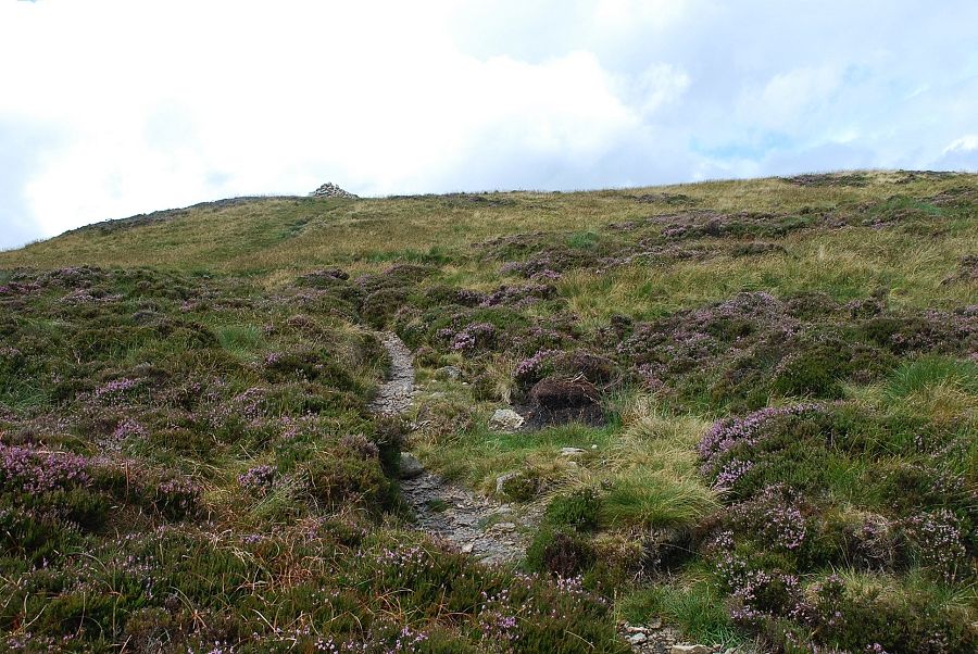 |
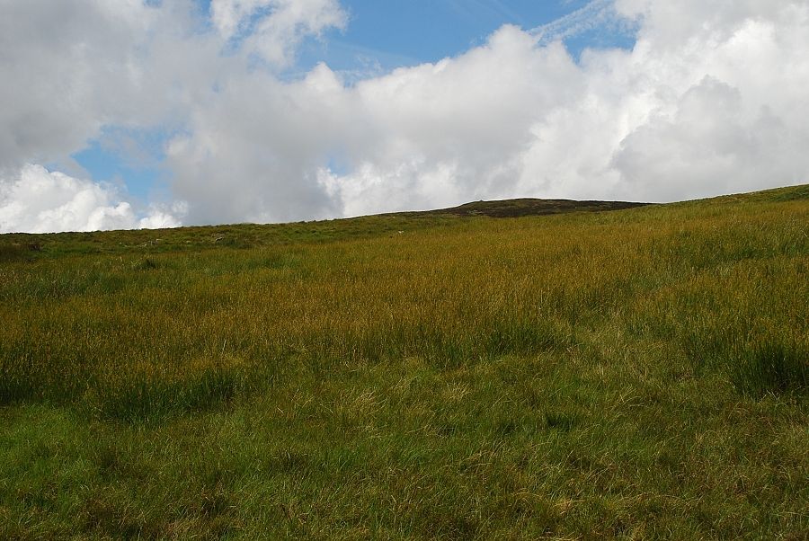
| Approaching the summit of High Tove |
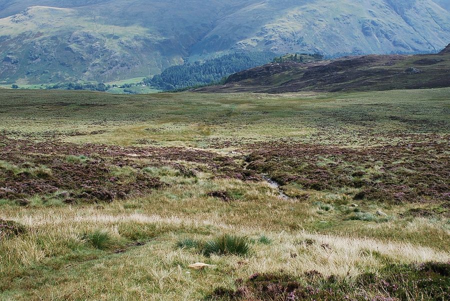 |
| Looking back along the route of ascent |
 |
| White Side, Helvellyn and Nethermost Pike from the summit of High Tove |
 |
| Clough Head, Great Dodd and Watson's Dodd from the summit of High Tove |
 |
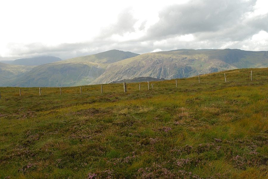
| Looking over Armboth Fell to Dollywaggon Pike, Fairfield, Seat Sandal and Heron Pike on the right skyline with Steel Fell on the right |
 |
| The connecting ridge towards Ullscarf |
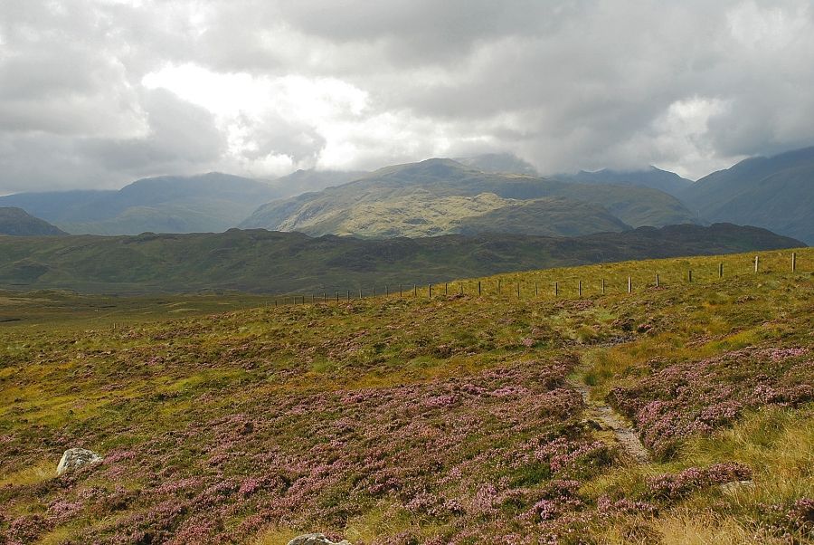 |
| Low cloud covering the higher fells beyond the sunlit slopes of Rosthwaite Fell and Glaramara |
 |
| Cloud covered Pillar on the left with Dale Head and High Spy bathed in sunlight |
 |
| The North Western Fells on the skyline |
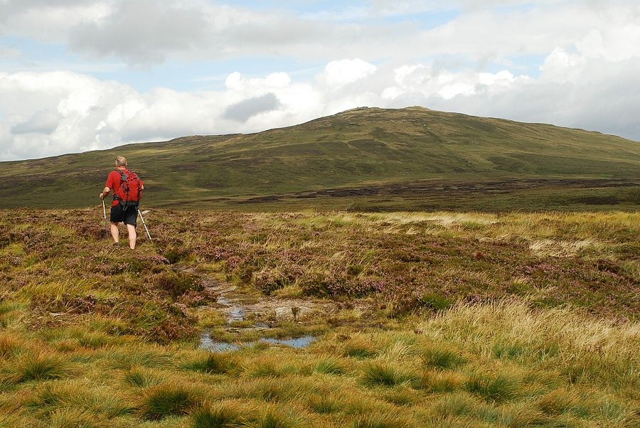 |
| A walker sets off towards High Seat with the infamous bog of The Pewits between him and his objective - the best of luck! |
 |
| Blencathra from the summit of High Tove |
