 |
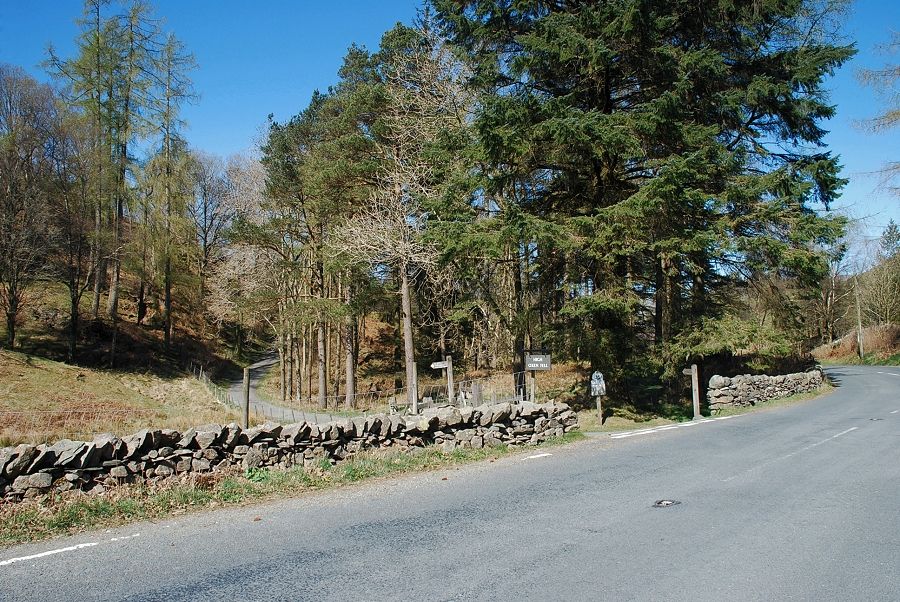
| Oxen Fell High Cross at the start of the walk |
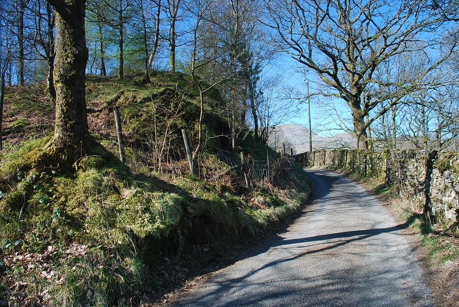 |
| The lane leading to High Oxenfell Farm |
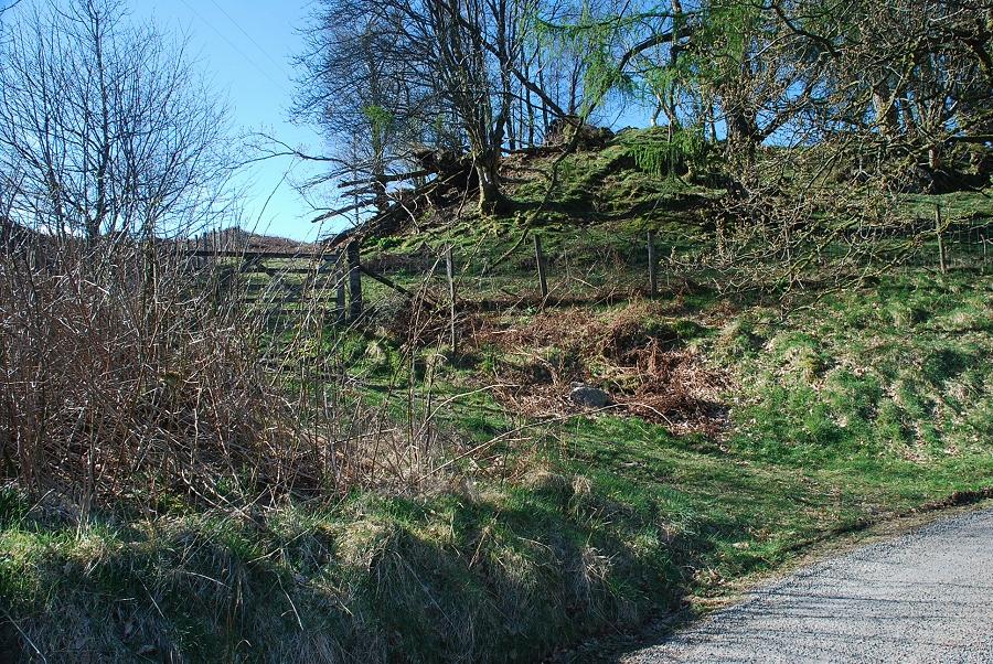 |
| The lane is only followed for 300 yards to a point where a recessed gate on the left gives access onto the open fellside |
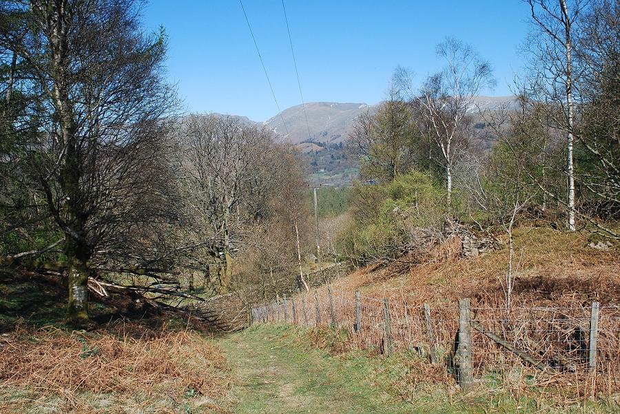 |
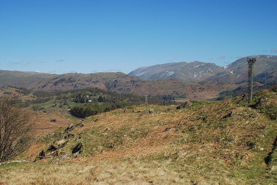
| Looking back towards Fairfield from above the gate |
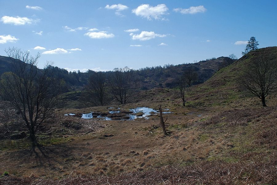 |
| Continuing straight on from the gate the path passes a small unnamed tarn |
 |
| Above the tarn the path rises to join the north-east ridge |
 |
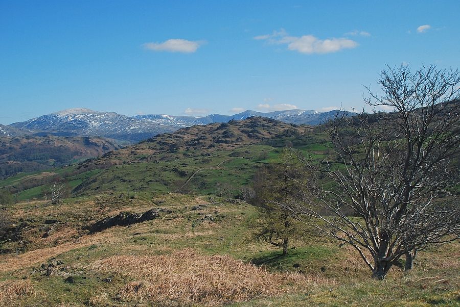
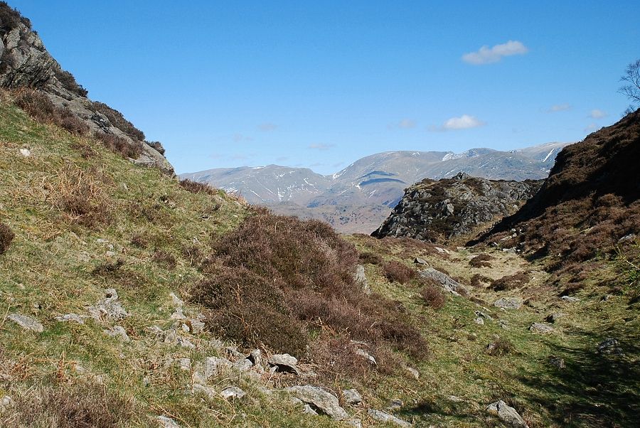
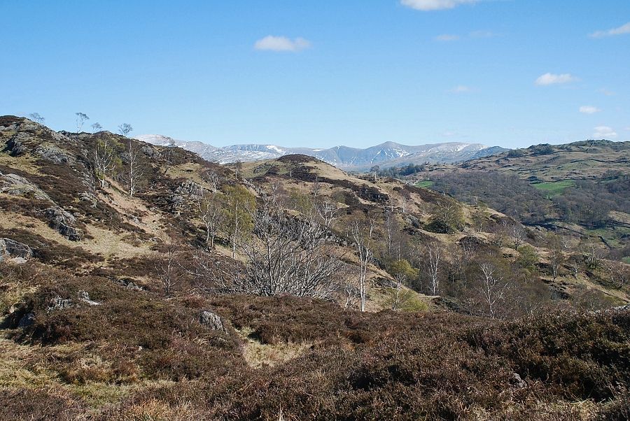
| Looking back to the Eastern Fells of Helvellyn, Fairfield, Dove Crag and Red Screes |
 |
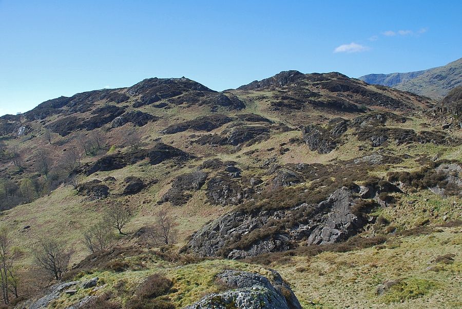
| The north-east ridge of Holme Fell |
 |
| Looking back to Helvellyn from the north-east ridge |
 |
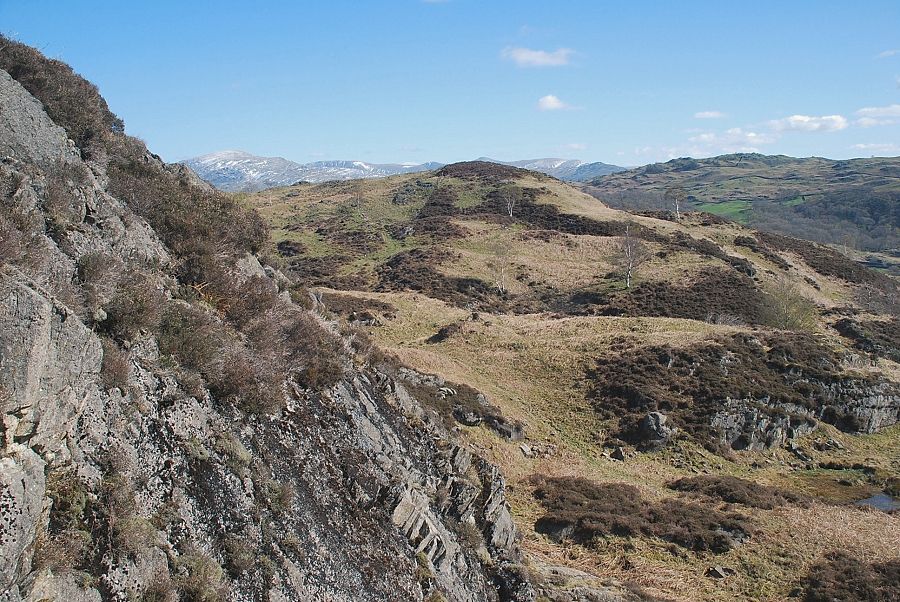
| Little Langdale from the north-east ridge |
 |
| Tom Heights across Yewdale |
 |
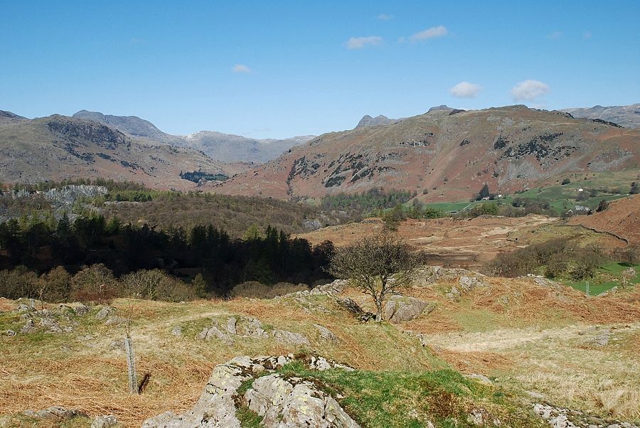
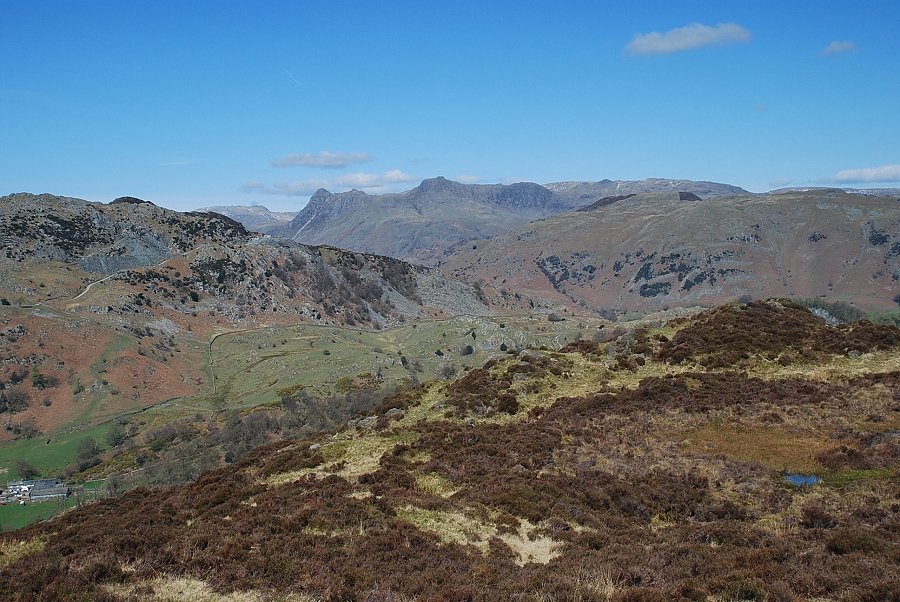
| Pike o' Blisco and Bowfell from the north-east ridge |
 |
| Looking back along the ridge - Red Screes, Thornthwaite Crag, Froswick, Ill Bell and Yoke on the horizon |
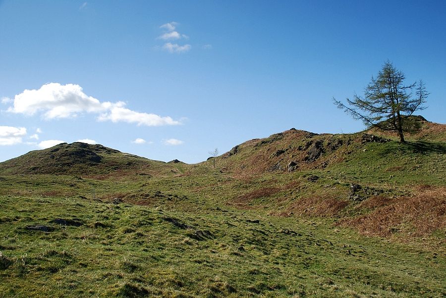 |
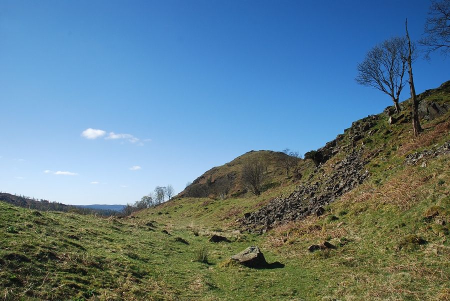
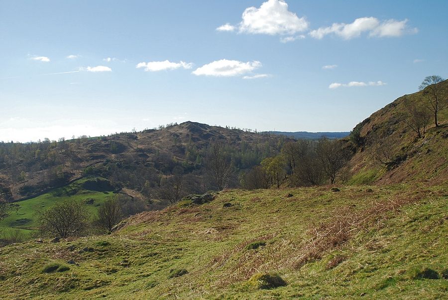
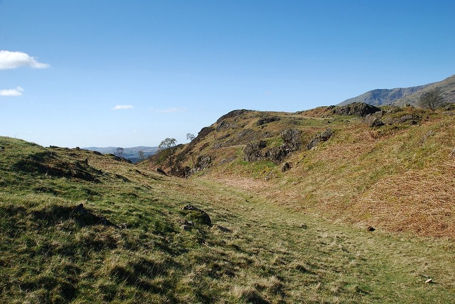
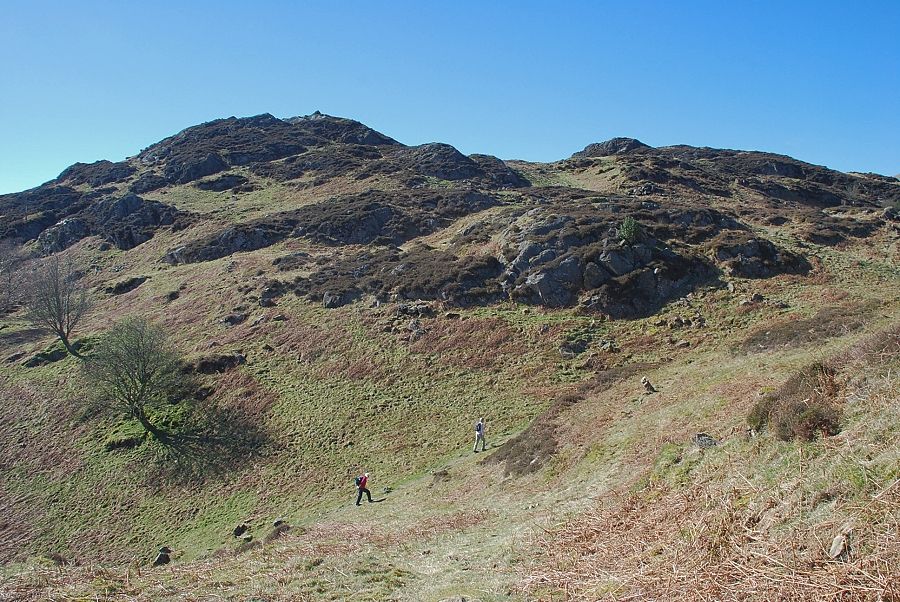
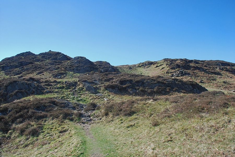
| The path, which is not very clear in parts, winds its way around a series of knolls on the ridge |
 |
| This lower part of the ridge is being actively managed by the National Trust which has planted a lot of trees and restricted grazing to help the regeneration of the native habitat |
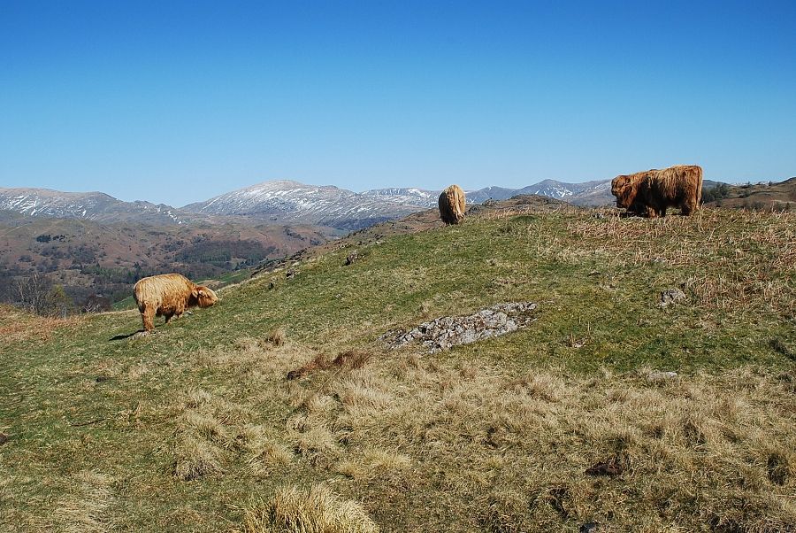 |
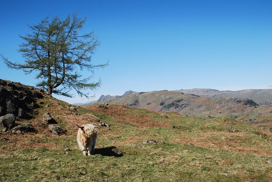
| Highland cattle on the north-east ridge |
 |
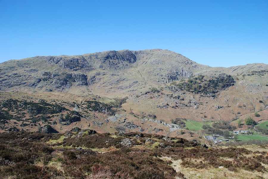
| The summit of Coniston Old Man appears over the ridge as the path approaches Man Crag |
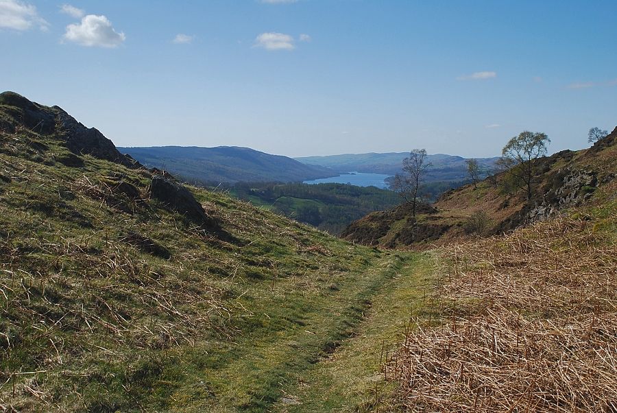 |
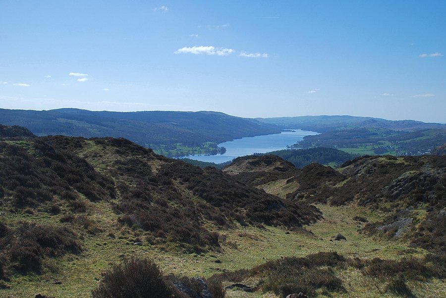
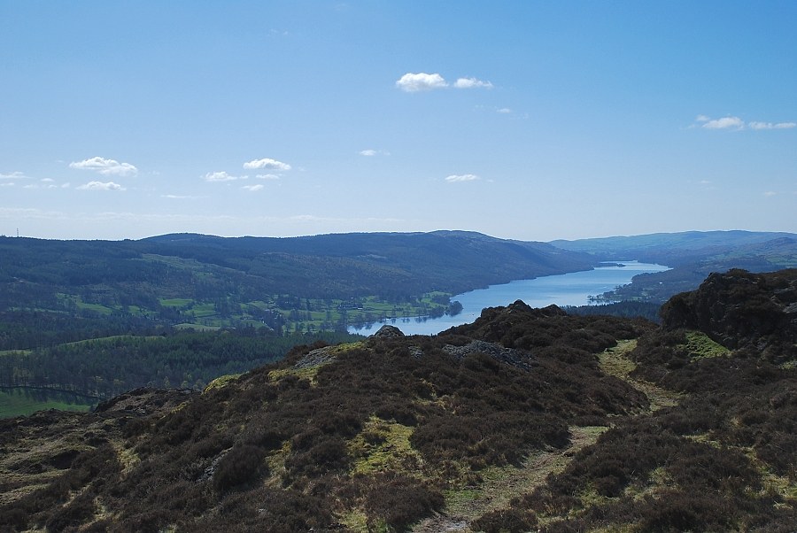
| Coniston Water |
 |
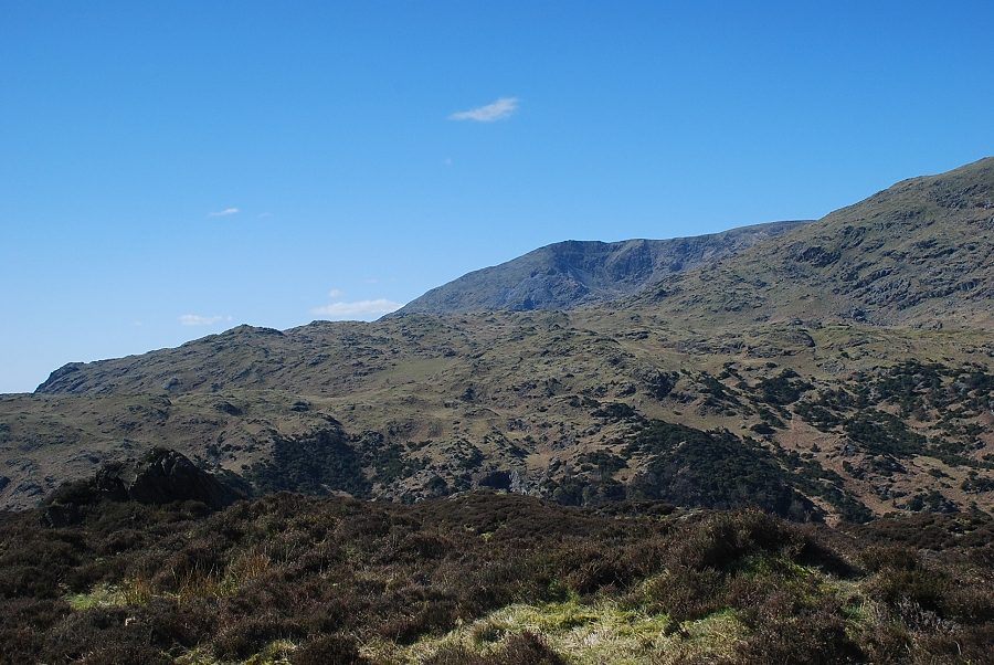
| Wetherlam |
 |
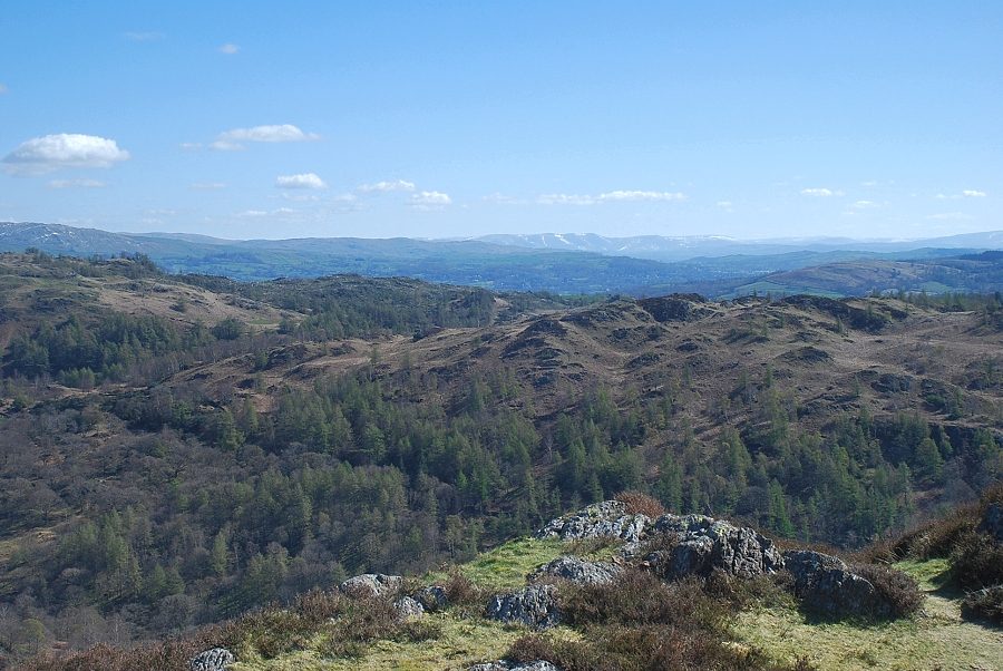
| Looking back towards Fairfield, Dove Crag and Red Screes in the Eastern Fells |
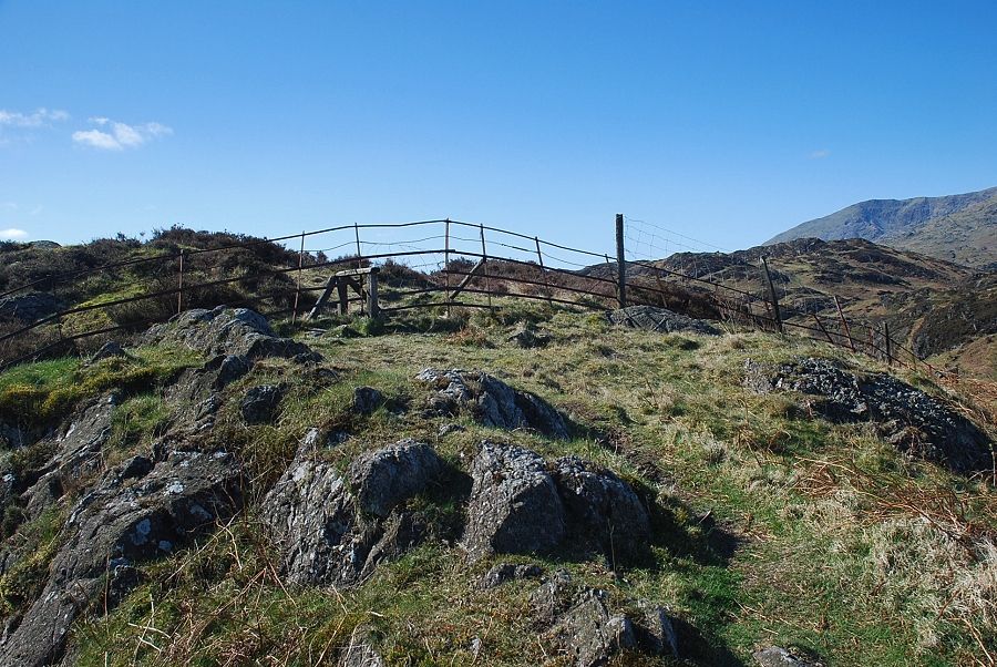 |
| The summit of Holme Fell comes into view as the path meets a stile in an iron fence straddling the ridge |
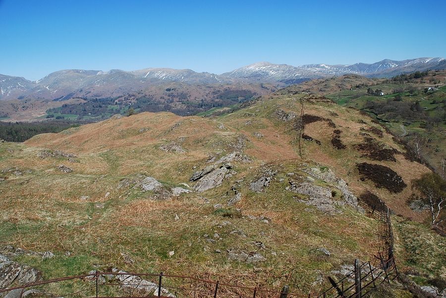 |
| Looking back along the ridge from the stile in the iron fence |
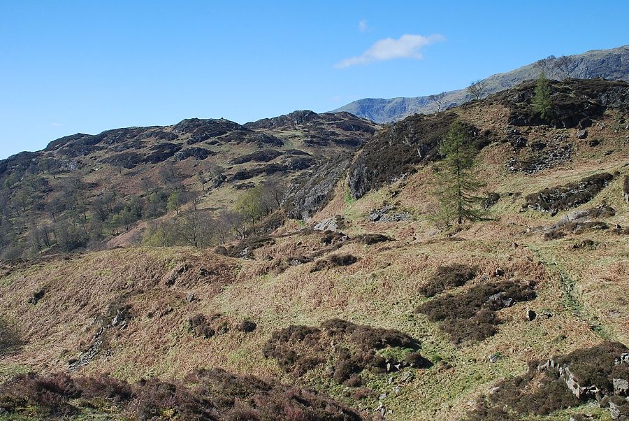 |
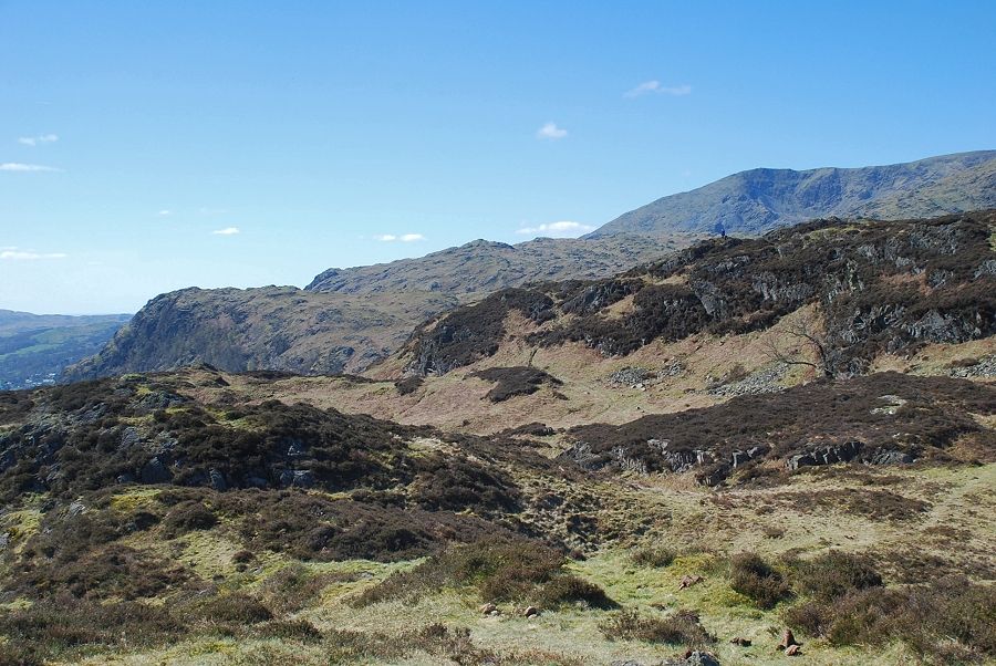
| Beyond the iron fence the whole character of the ridge changes. The path bears away from the fence descending through heather, past a solitary larch, and winds its way amongst rocky knolls towards Uskdale Gap |
 |
| Coniston Water |
 |
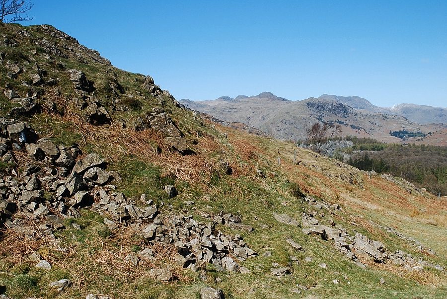
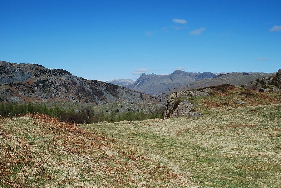
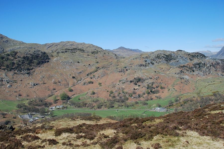
| Looking over to the Langdale Pikes |
 |
| Looking back towards Fairfield |
 |
| The path passes the solitary larch and climbs a grass rake through the steep crag beyond it |
 |
| Looking back along the ridge from the grass rake |
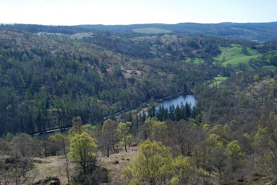 |
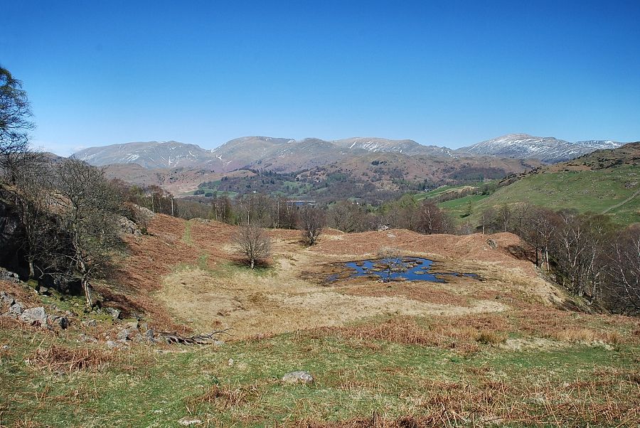
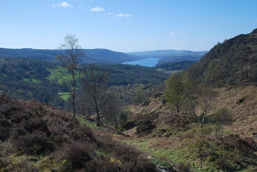
| Looking down to Yew Tree Tarn from the top of the grass rake |
 |
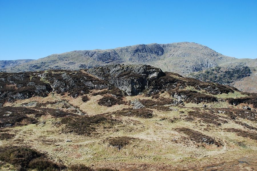
| Ivy Crag and the summit of Holme Fell from the top of the grass rake |
 |
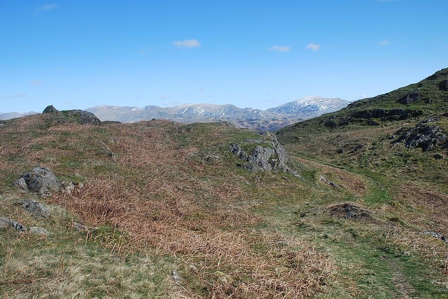
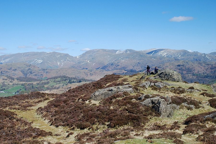
| Looking over to the Ill Bell ridge in the Far Eastern Fells |
 |
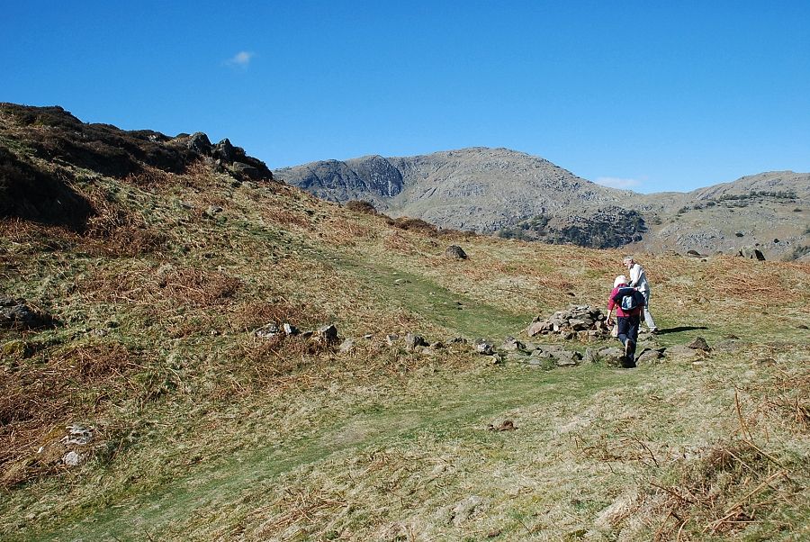
| Approaching the cross-ridge path near Uskdale Gap |
 |
| Uskdale Gap |
 |
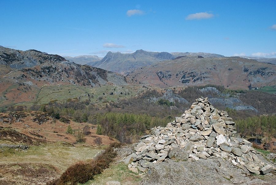
| The Langdale Pikes from Uskdale Gap |
 |
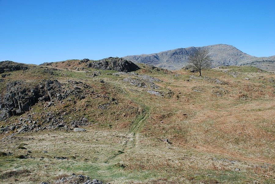
| The path from Uskdale Gap to Ivy Crag, the summit of Holme Fell is on the right |
 |
| The Langdale Pikes from the summit of Ivy Crag |
 |
| Helvellyn and Fairfield from the summit of Ivy Crag |
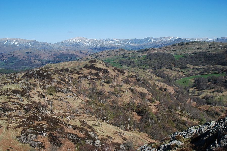 |
| Looking back along the route of ascent over the north-east ridge |
 |
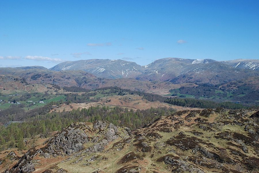
| The Howgills on the distant horizon from the summit of Ivy Crag |
 |
| Coniston Water from the summit of Ivy Crag |
 |
| The Yewdale Fells and Coniston Old Man from the summit of Ivy Crag |
 |
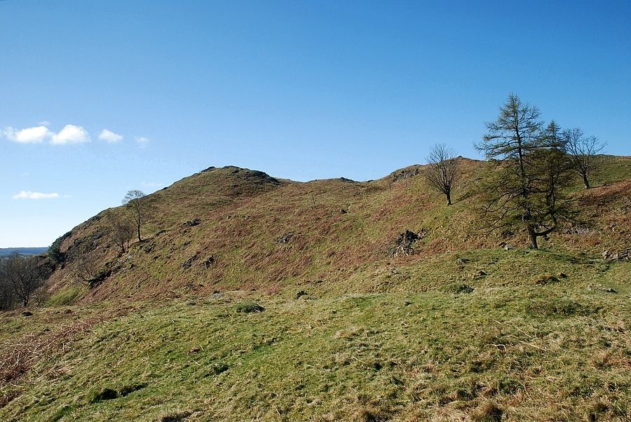
| The summit of Holme Fell lies across a wide depression |
 |
| The summit cairn on Holme Fell |
 |
| Coniston Water from the summit of Holme Fell |
 |
| Coniston Old Man from the summit of Holme Fell |
 |
| Wetherlam from the summit of Holme Fell |
 |
| Tilberthwaite from the summit of Holme Fell |
 |
| The Langdale Pikes from the summit of Holme Fell |
 |
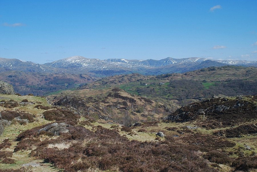
| Helvellyn, Fairfield and Dove Crag from the summit of Holme Fell |
 |
| Red Screes and the Ill Bell ridge from the summit of Holme Fell |
