 |
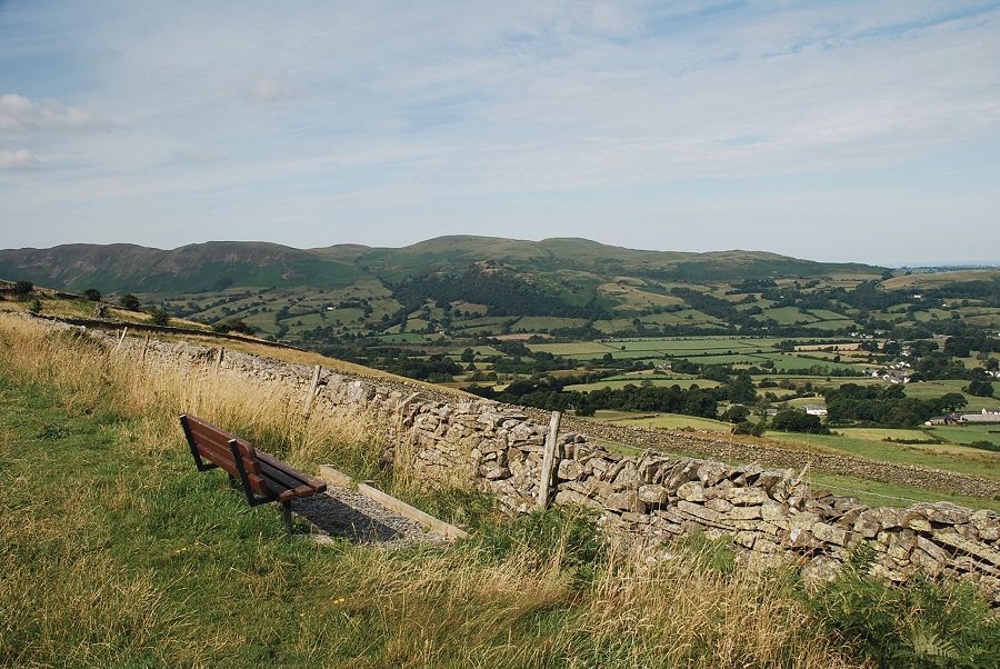
| The walk starts from a memorial seat by the side of the fell road between Blaze Bridge and High Swinside Farm. There is room to park a couple of cars on the grass verge a short distance to the east of the seat |
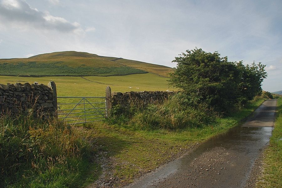 |
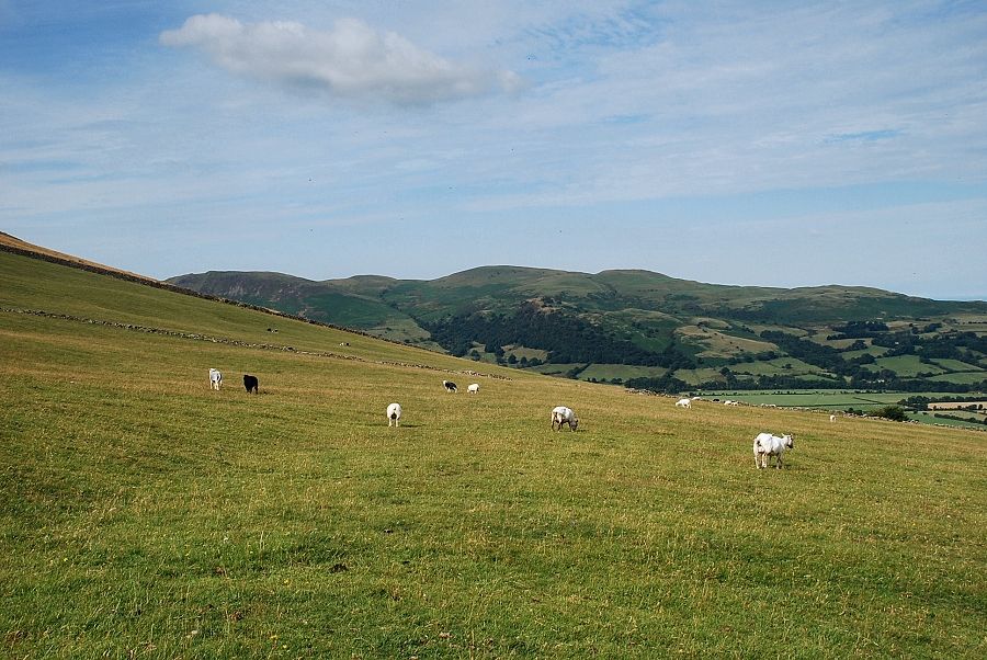
| Swinside from the fell road, a gate gives access to an open track |
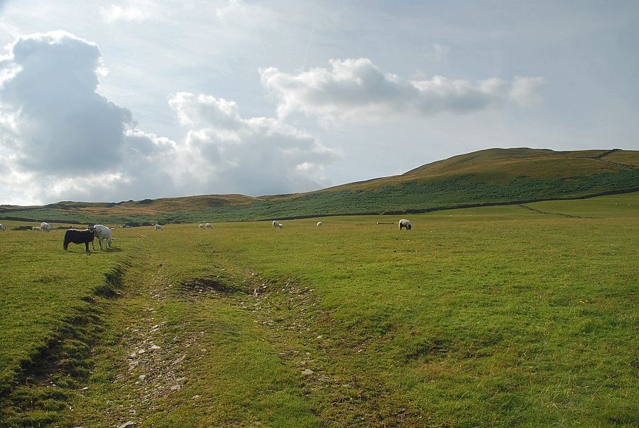 |
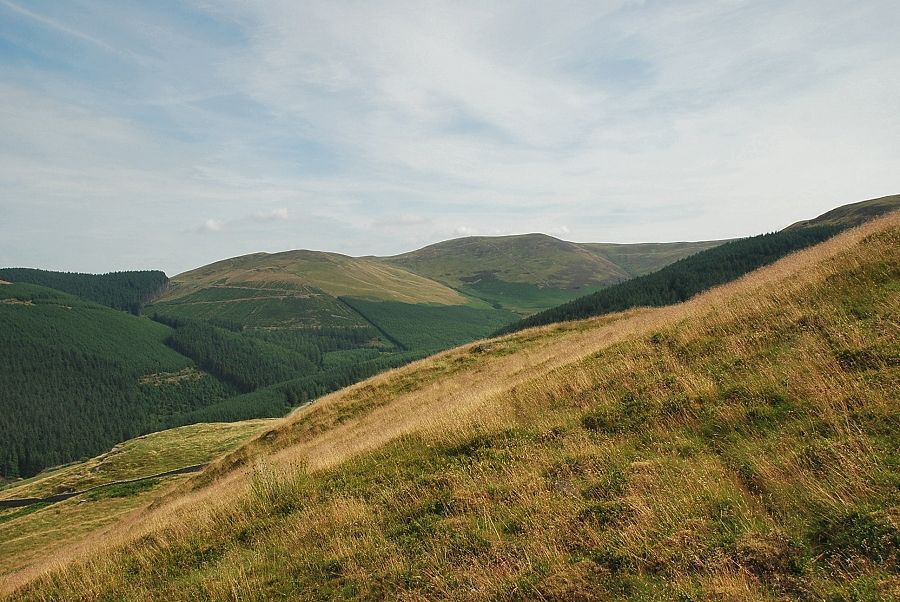
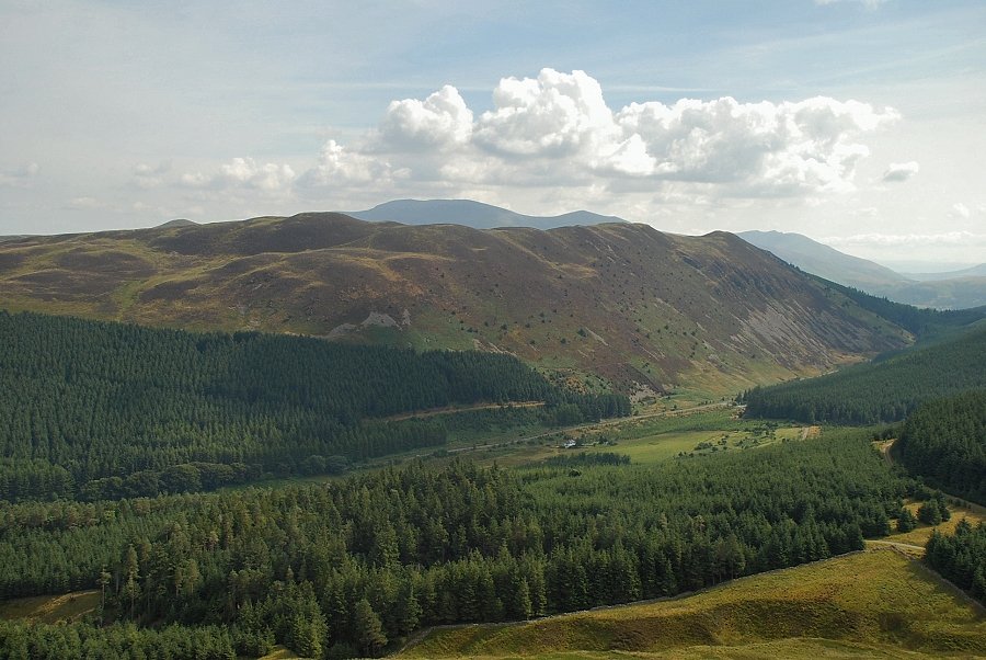
| The track crosses a field towards a sheep handling pen above its upper wall. Strictly speaking this track is not a Right of Way but there appears to be no objection to using it to reach the open access land beyond the upper wall |
 |
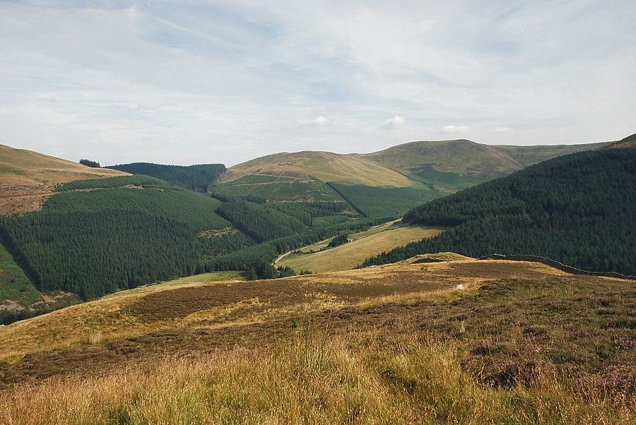
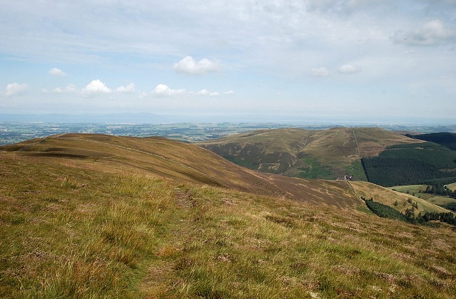
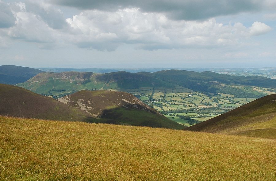
| Looking over to Graystones and Broom Fell from the field track |
 |
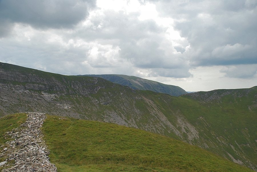
| Fellbarrow from the field track |
 |
| Looking back to Kirk Fell and Graystones from the open access land above the sheep pens |
 |
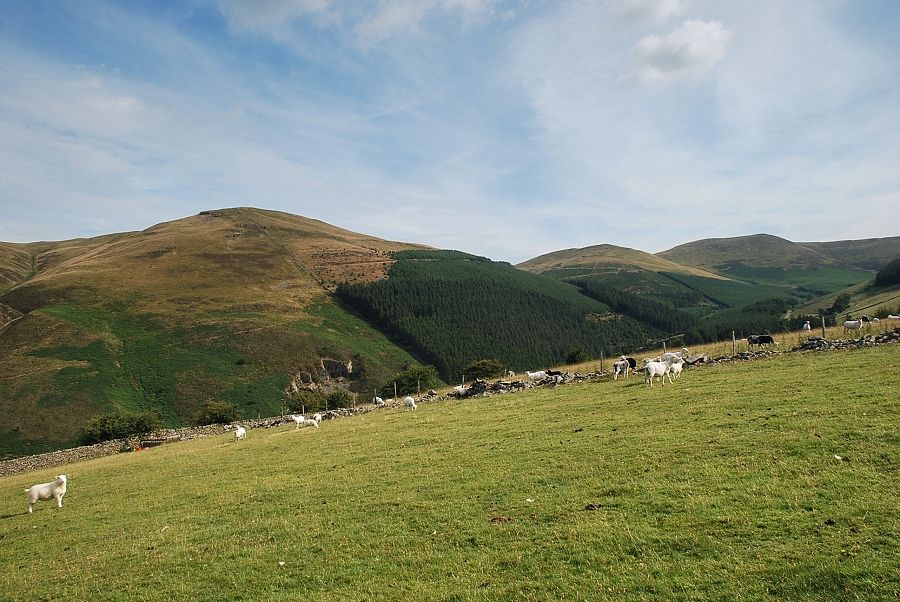
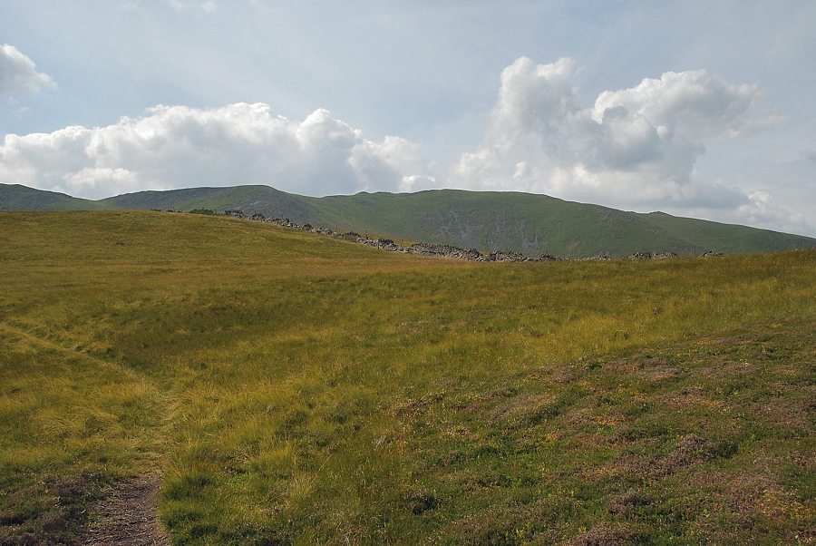
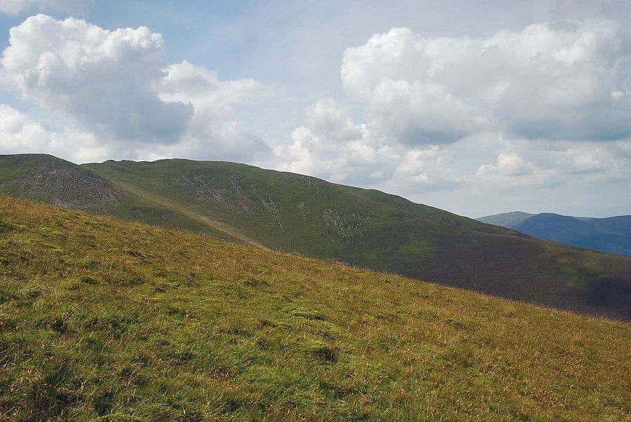
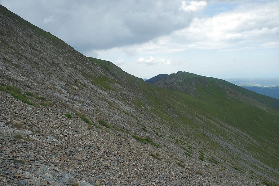
| The track continues, climbing steadily across the eastern slope of Swinside |
 |
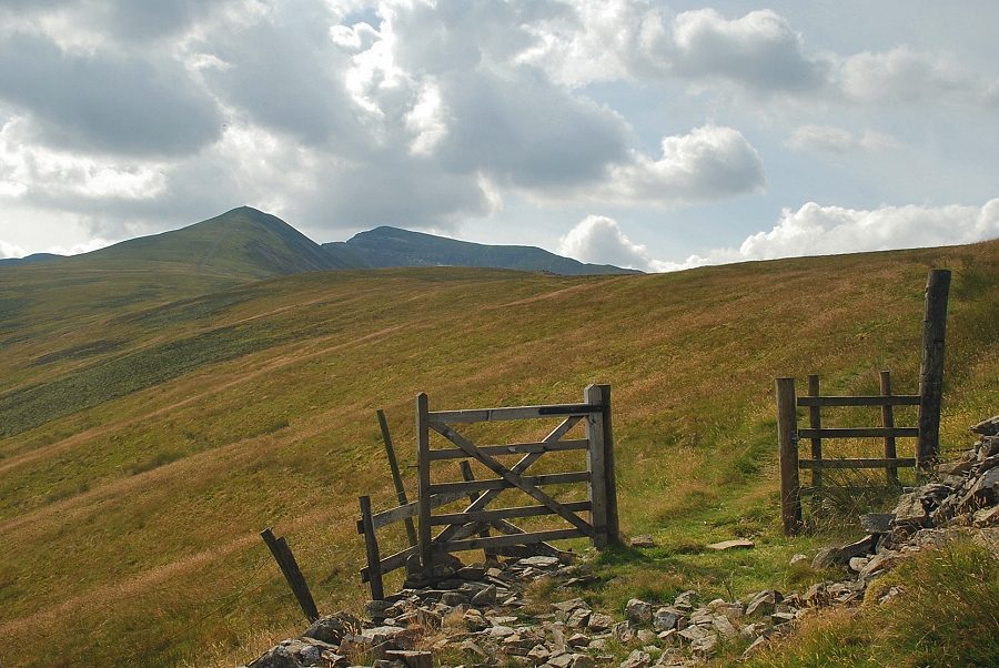
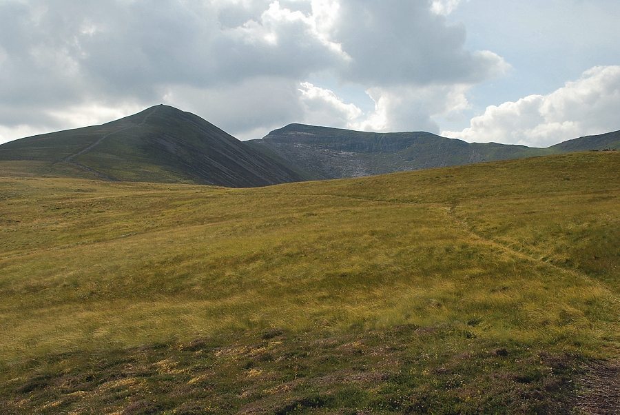
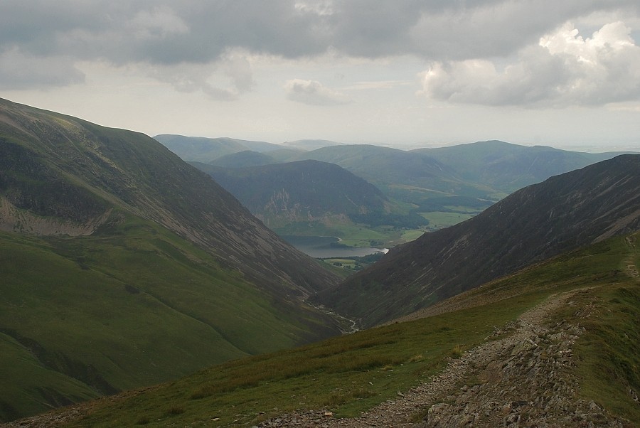
| Kirk Fell and High Lorton from the slopes of Swinside |
 |
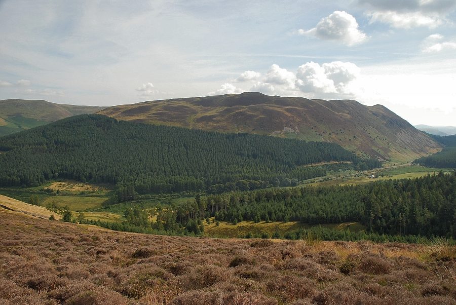
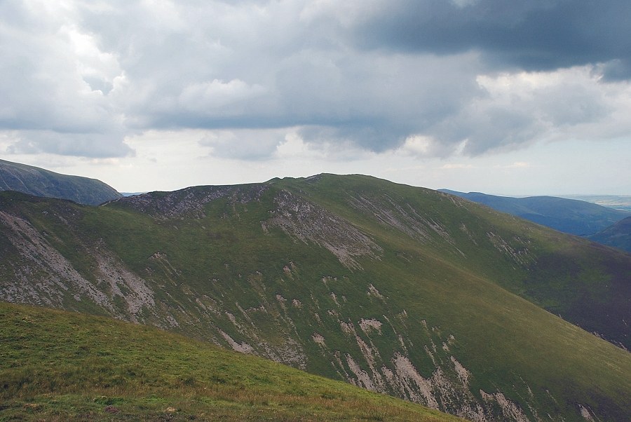
| Looking across to Broom Fell |
 |
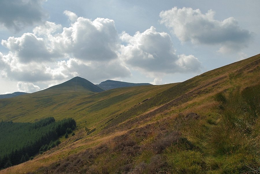
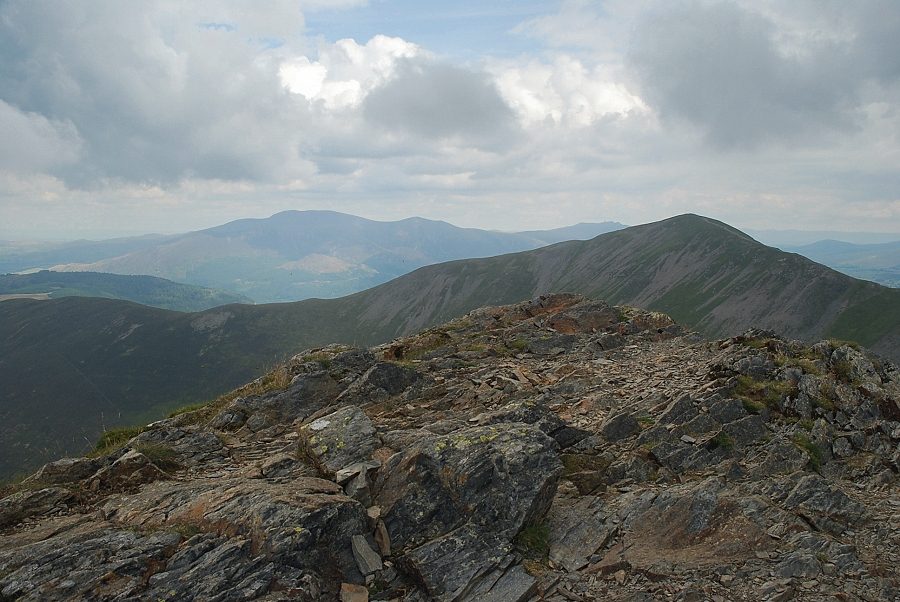
| Ladyside Pike and Hopegill Head come into view |
 |
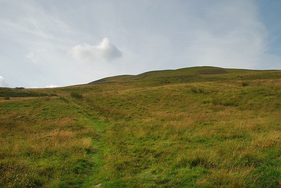
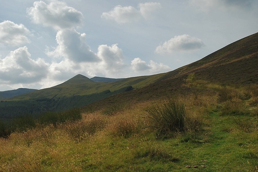
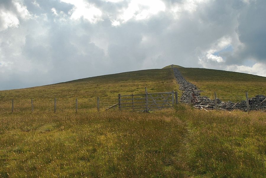
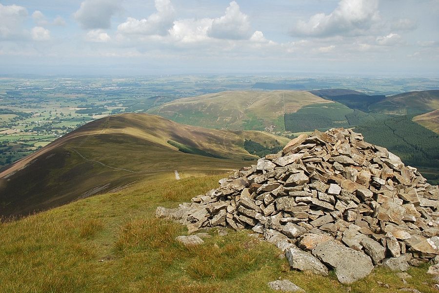
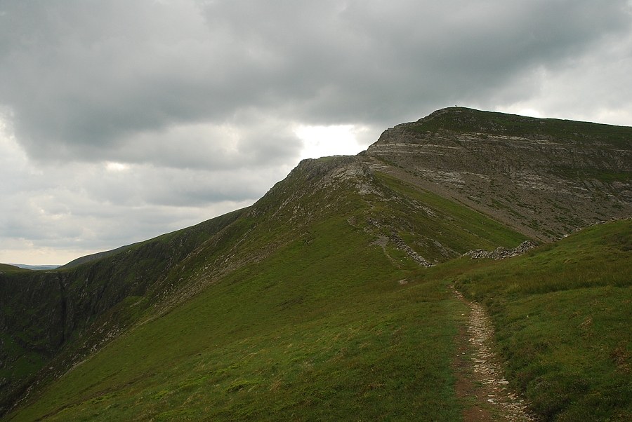
| From this point a faint path leads up to the top of Swinside for those wishing to visit its summit |
 |
| Looking over to the summit of the Whinlatter Pass |
 |
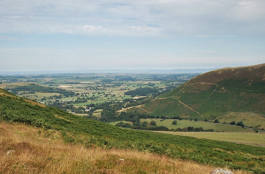
| Looking across the valley of Aiken Beck to Broom Fell |
 |
| Looking across to Whinlatter |
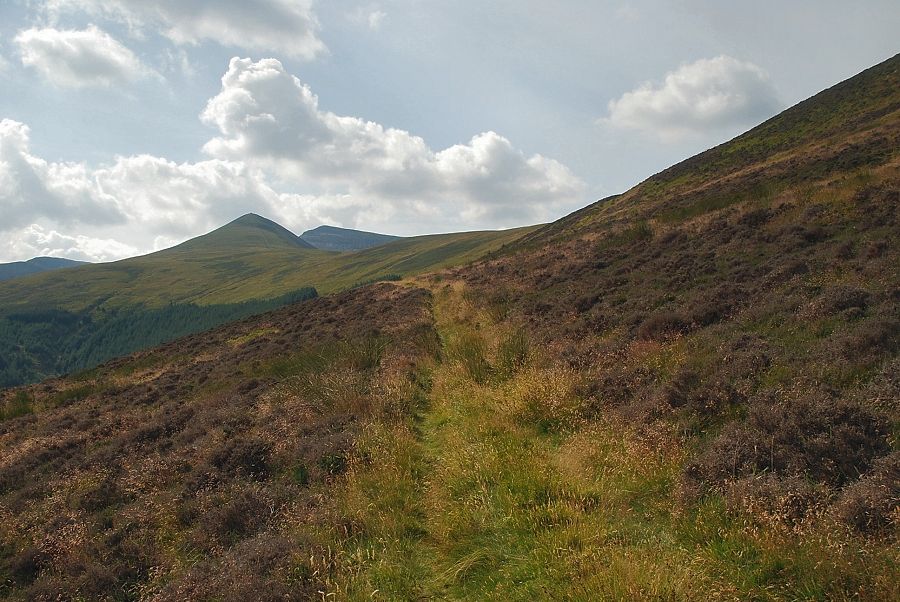 |
| Ladyside Pike and Hopegill Head |
 |
| Hobcarton End and Grisedale Pike |
 |
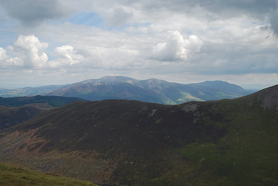
| Skiddaw appears over Whinlatter |
 |
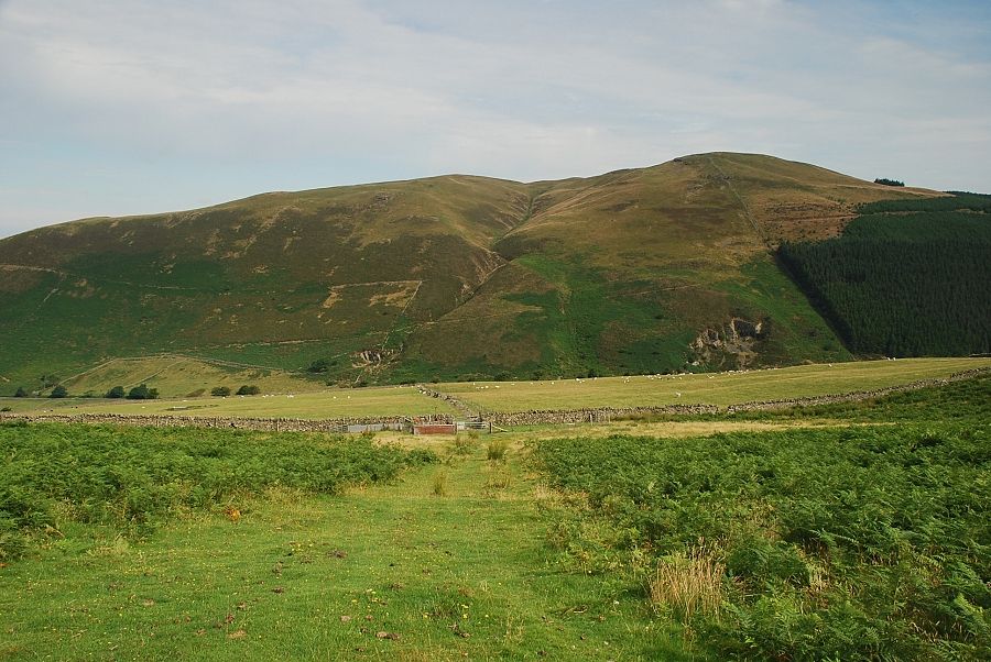
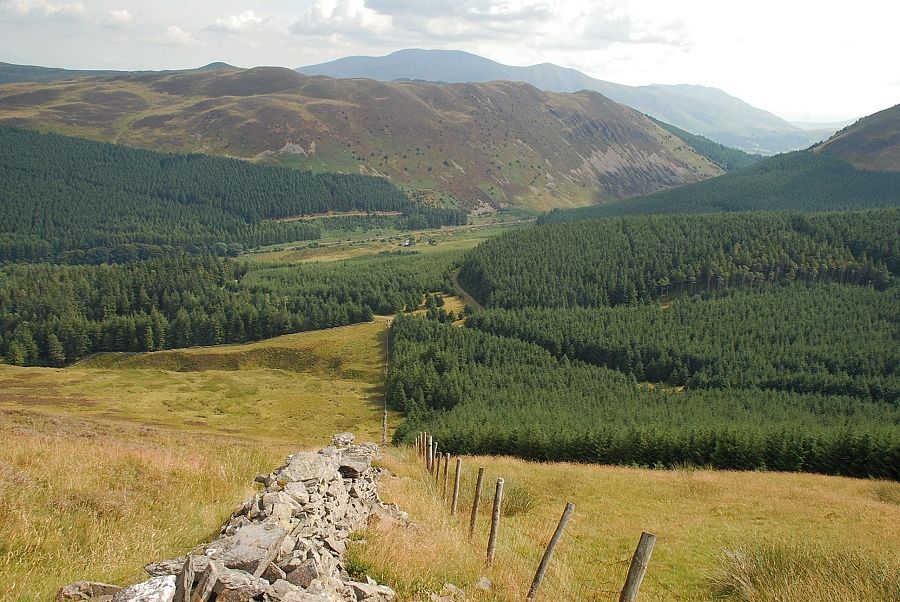
| Approaching the ruined wall and fenceline above the Swinside Plantation |
 |
| Looking back to Kirk Fell and Graystones |
 |
| Ladyside Pike and Hopegill Head from the ruined wall above the Swinside Plantation |
 |
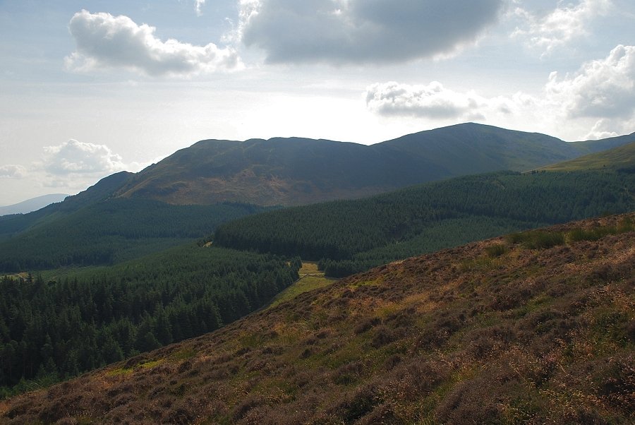
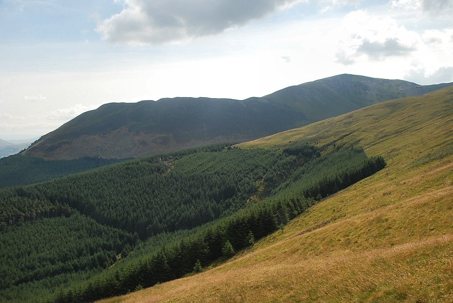
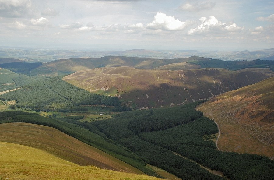
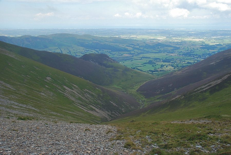
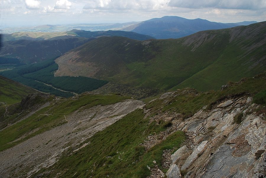
| Looking down on the Swinside Plantation |
 |
| Hobcarton End and Grisedale Pike across the Swinside Plantation |
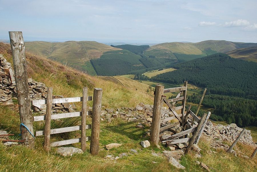 |
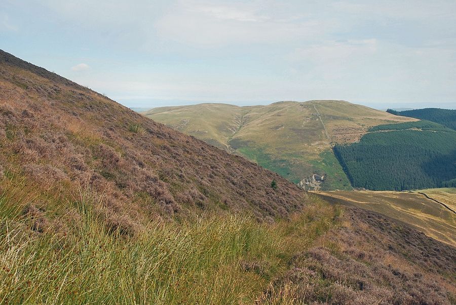
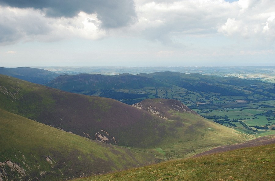
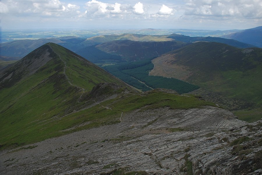
| Looking back to Graystones and Broom Fell |
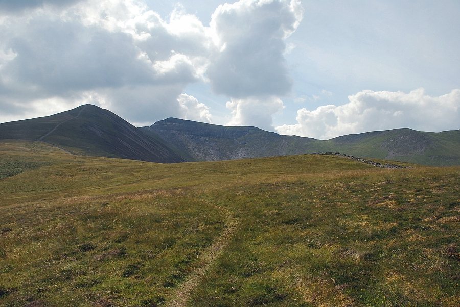 |
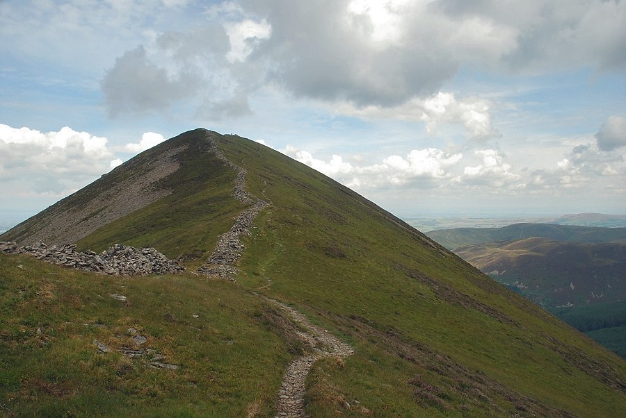
| Approaching the path which runs along the ridge between the summit of Swinside and Ladyside Pike |
 |
| The Solway Firth over Swinside and Graystones |
 |
| Whiteside over the Swinside ridge |
 |
| Ladyside Pike and Hopegill Head from the Swinside ridge |
 |
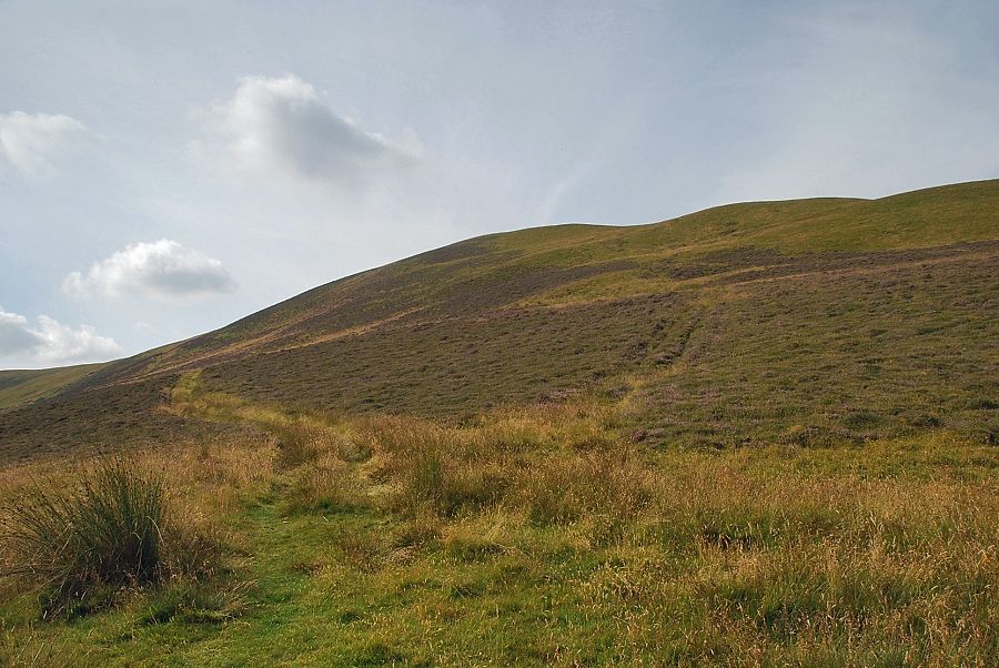
| The start of the climb to the summit of Ladyside Pike |
 |
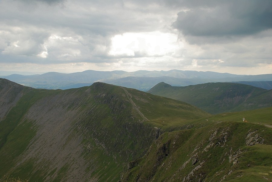
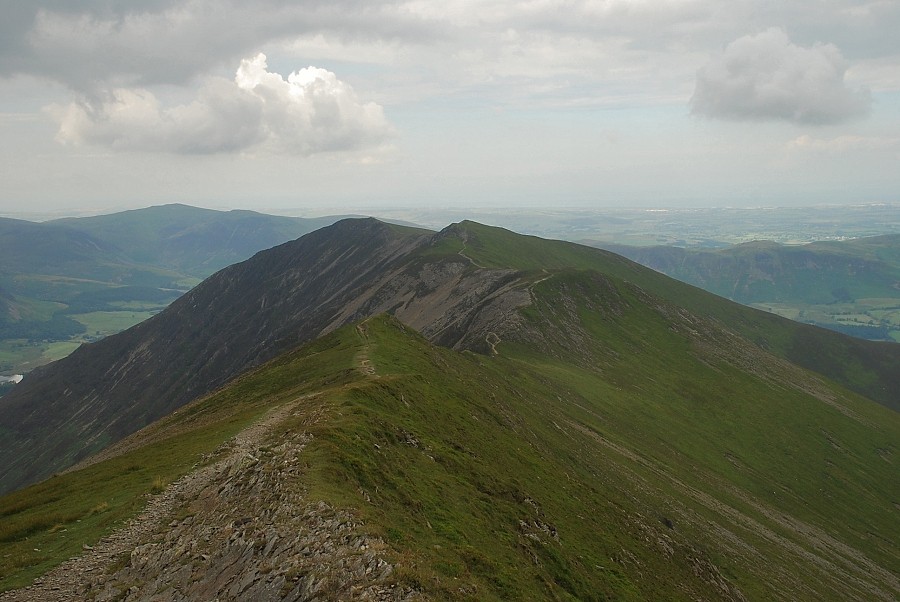
| Low Fell and Fellbarrow from the climb to the summit of Ladyside Pike |
 |
| Looking over to Whiteside |
 |
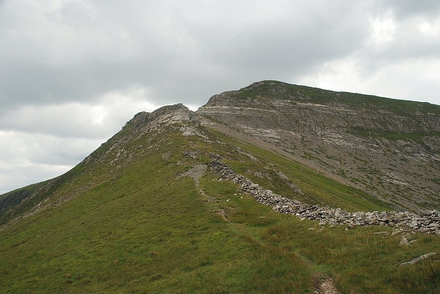
| Looking back to Swinside from just below the summit of Ladyside Pike |
 |
| Hopegill Head from the summit of Ladyside Pike |
 |
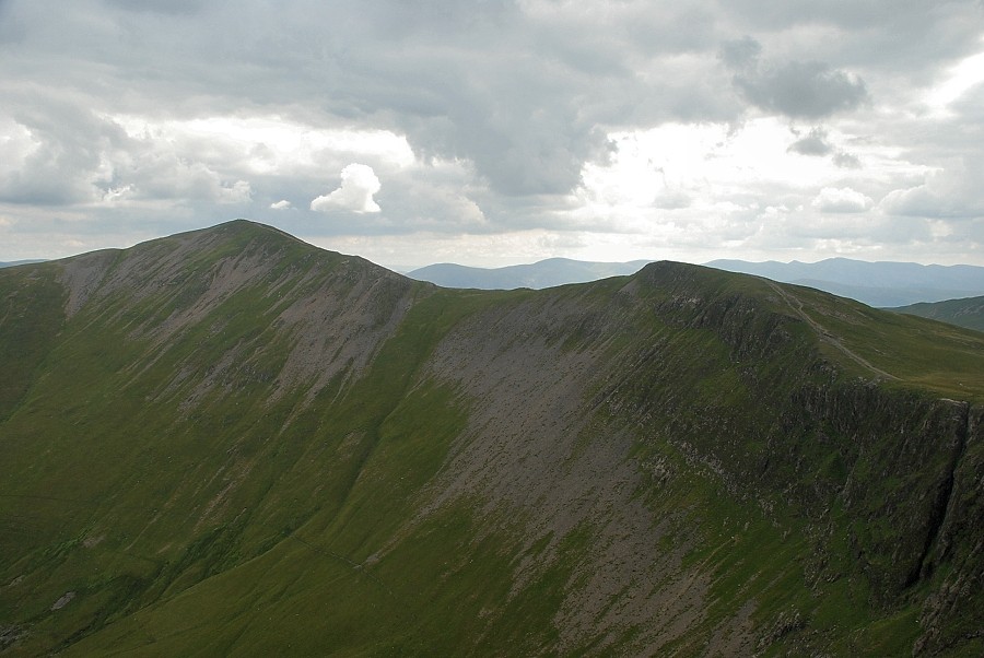
| Swinside and Graystones from the summit of Ladyside Pike |
 |
| The Whinlatter fells from the summit of Ladyside Pike |
 |
| Skiddaw and Blencathra over Hobcarton End |
 |
| Grisedale Pike from the summit of Ladyside Pike |
 |
| Grasmoor over the Hopegill Head ~ Whiteside ridge |
 |
| Whiteside from the summit of Ladyside Pike |
 |
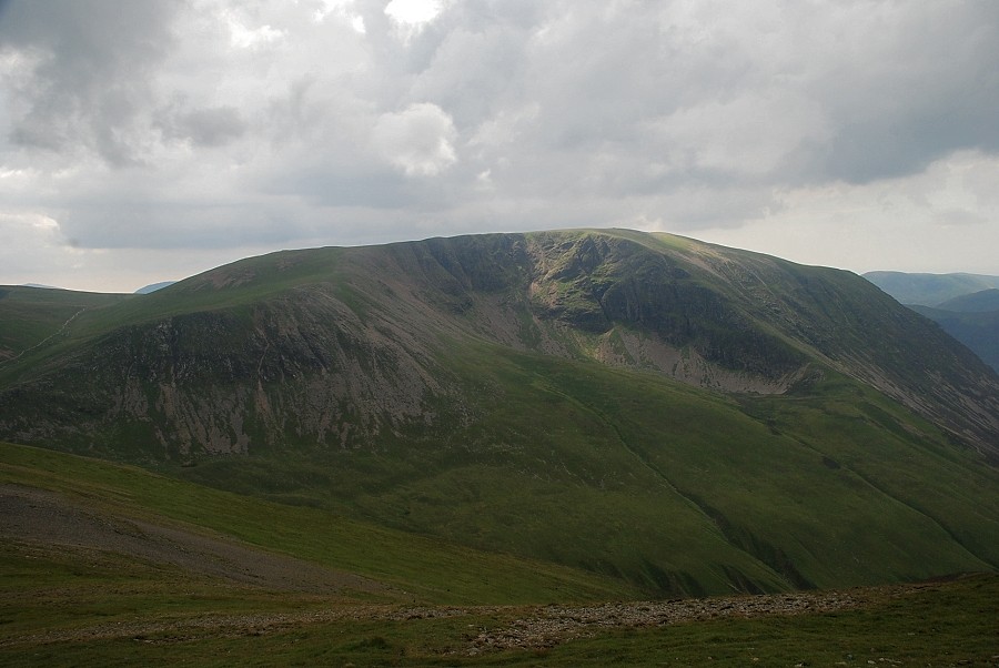
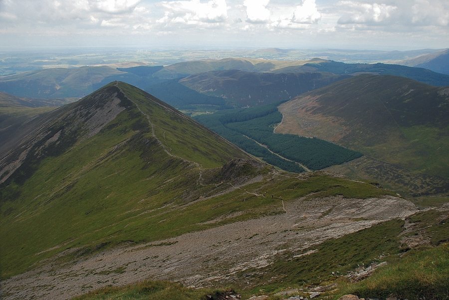
| The Fellbarrow range over Dodd |
 |
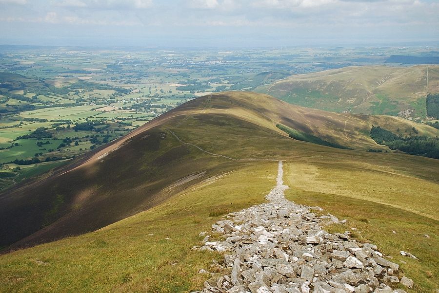
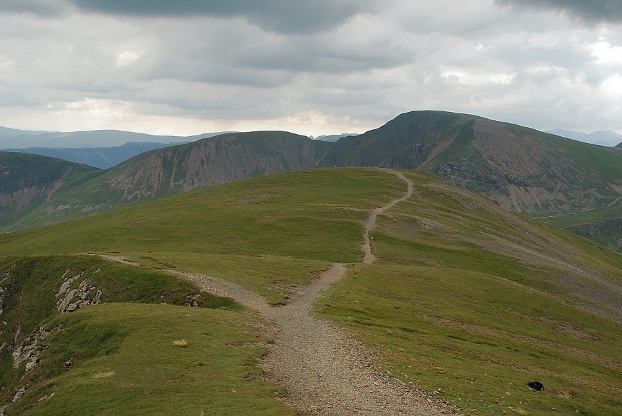
| Continuing on along the ridge path towards Hopegill Head |
 |
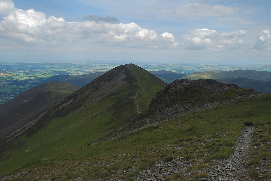
| Looking back to Ladyside Pike |
 |
| The path rises from the col between Ladyside Pike and Hopegill Head to the base of a rock pinnacle which is turned on the right before climbing up to The Notch on the brink of Hobcarton Crag |
 |
| Grisedale Pike across the valley of Hobcarton Gill |
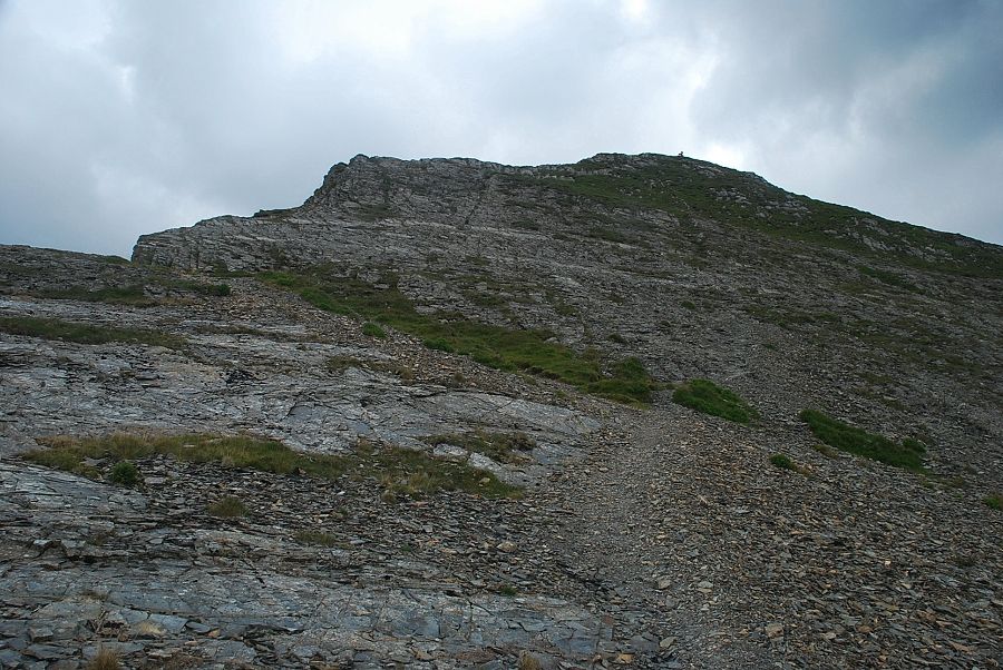 |
| The approach path to The Notch and the slabs leading to the summit which are easily climbed by the rock groove in the centre of the photo |
 |
| Looking over to Whiteside |
 |
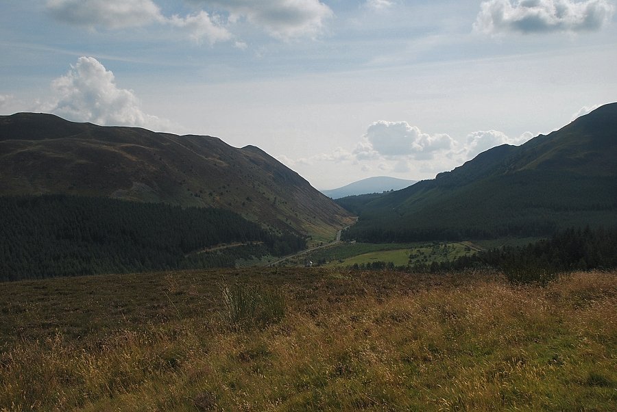
| Looking down on Hope Gill |
 |
| Looking back to Ladyside Pike from the path to The Notch |
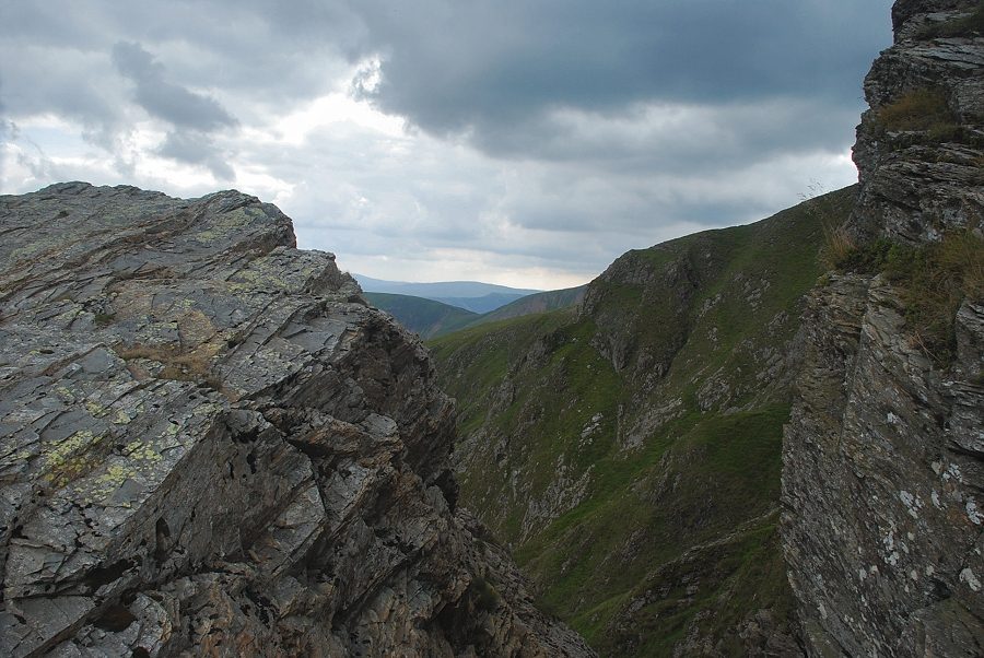 |
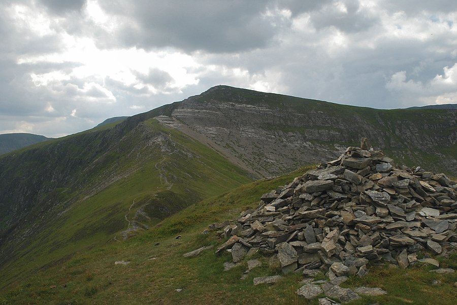
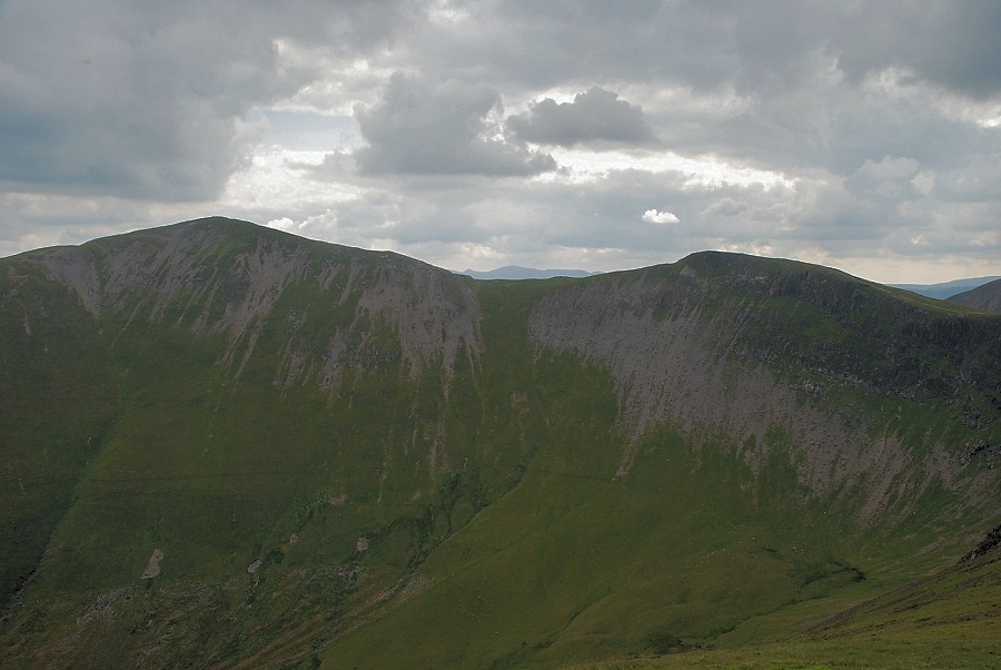
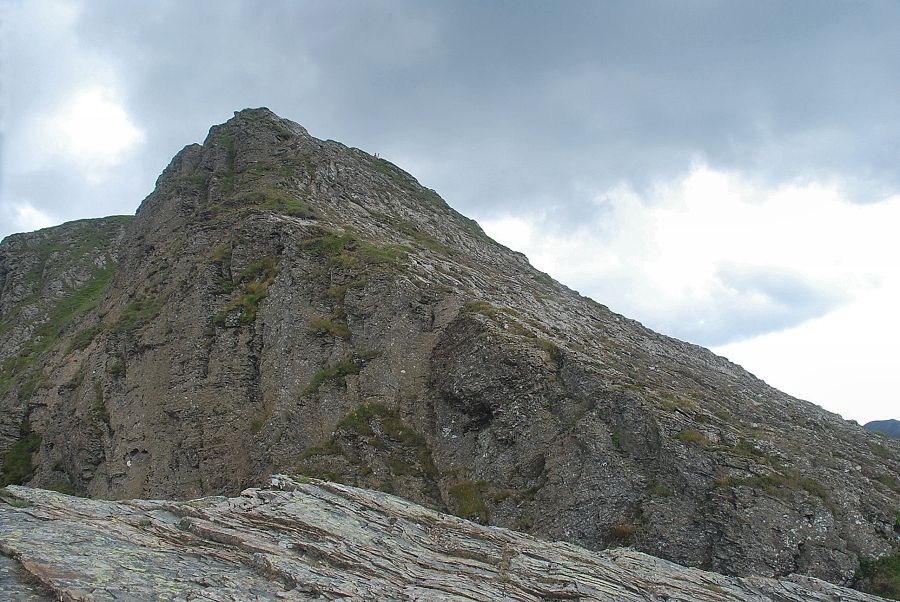
| The Notch on Hobcarton Crag |
 |
| The summit of Hopegill Head from the edge of Hobcarton Crag |
 |
| Grisedale Pike from Hobcarton Crag |
 |
| Ladyside Pike from the climb to Hopegill Head |
 |
| Skiddaw from just below the summit of Hopegill Head |
 |
| Grisedale Pike from the summit of Hopegill Head |
 |
| The Helvellyn range over the summits of Hobcarton Head and Causey Pike ~ Scar Crags |
 |
| Sail and Eel Crag over Sand Hill |
 |
| Grasmoor from the summit of Hopegill Head |
 |
| Gasgale Gill from the summit of Hopegill Head |
 |
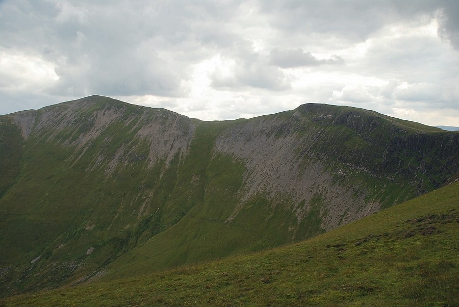
| The connecting ridge toWhiteside |
 |
| Ladyside Pike from the summit of Hopegill Head |
