 |
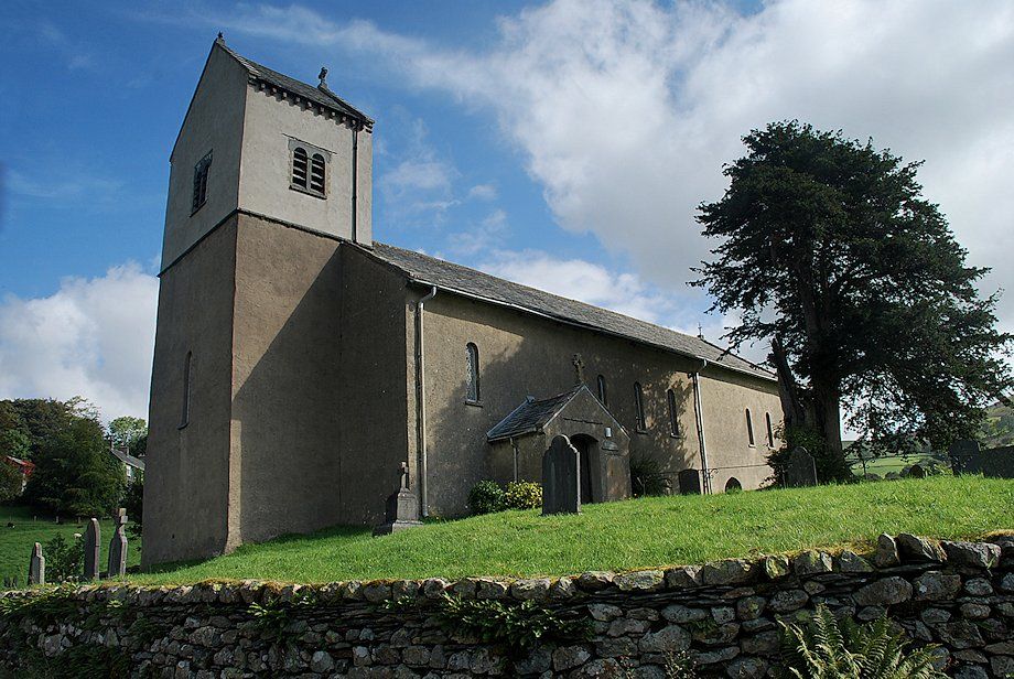
| St. Cuthbert's Church in Kentmere is the starting point for this walk |
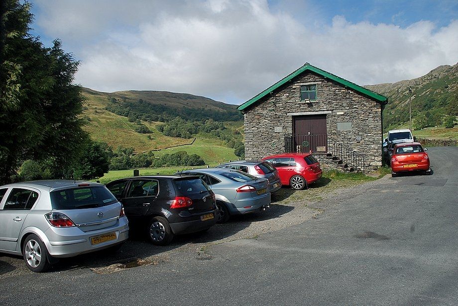 |
| Car parking in Kentmere is very limited, there is space for about ten cars next to the Kentmere Institute. Occasionally there is additional parking available in a paddock beside Low Bridge below the church. Begin the walk by either following Hollin lane past the Institute towards The Nook or by Rook Howe lane which starts to the east of the church |
 |
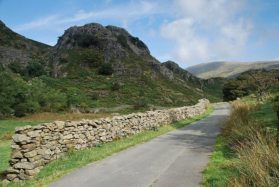
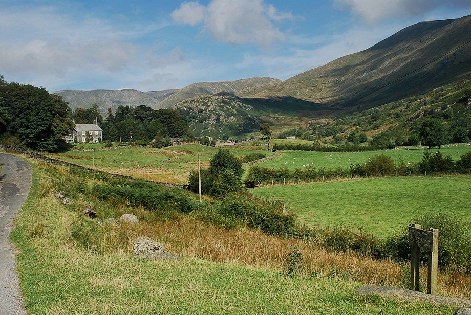
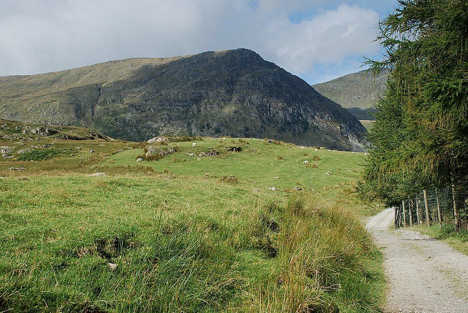
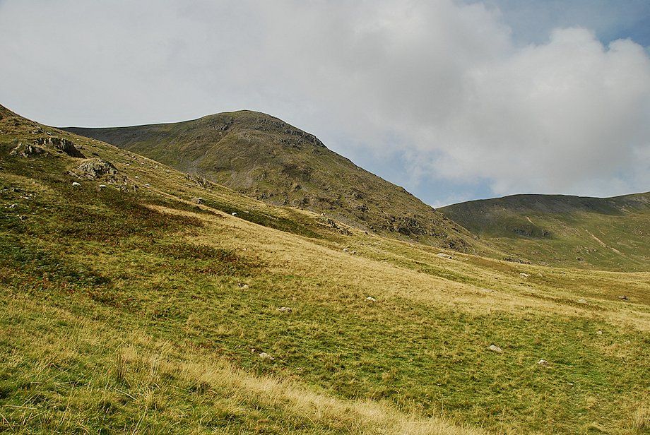
| Looking to Cowsty Knotts from Hollin Lane |
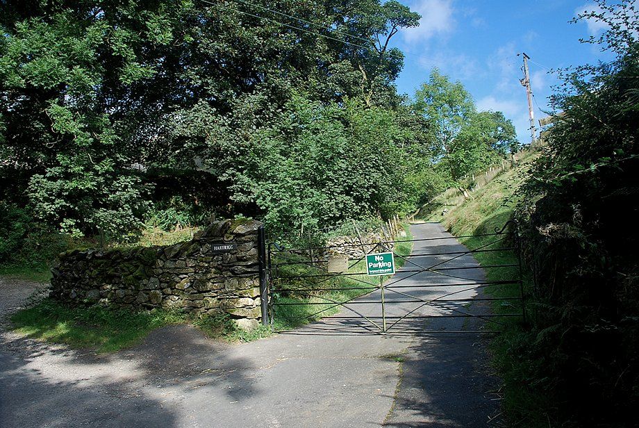 |
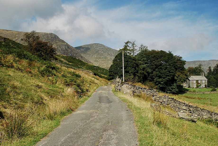
| Hollin Lane is only followed for about 350 yards before turning off it onto a lane which leads to Hartrigg Farm |
 |
| Raven Crag from the lane to Hartrigg Farm |
 |
| The path from Rook Howe joins the lane as it begins to skirt around Calfhowe Crag. Shipman Knotts and Wray Crag are visible across the valley |
 |
| Harter Fell and Kentmere Pike from the lane to Hartrigg Farm |
 |
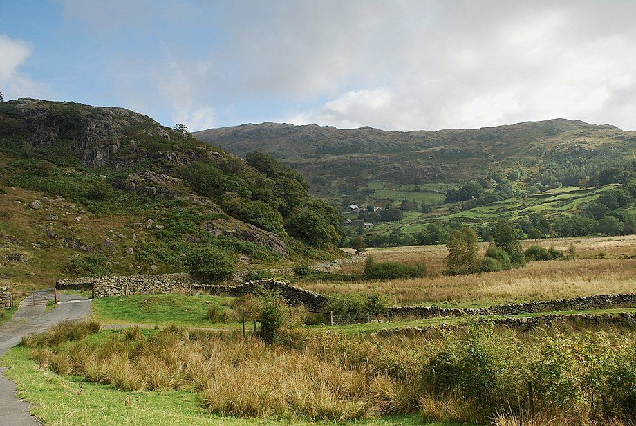
| Approaching Scales farmhouse with its attached bank barn |
 |
| Approaching Hartrigg Farm |
 |
| The north-east ridge of Ill Bell comes into view on the approach to Hartrigg Farm |
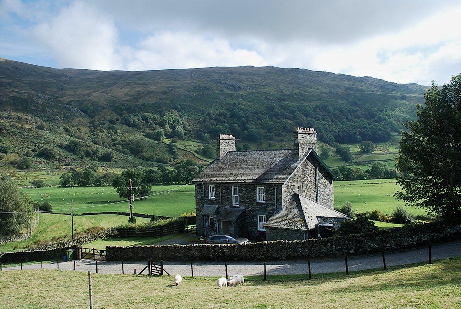 |
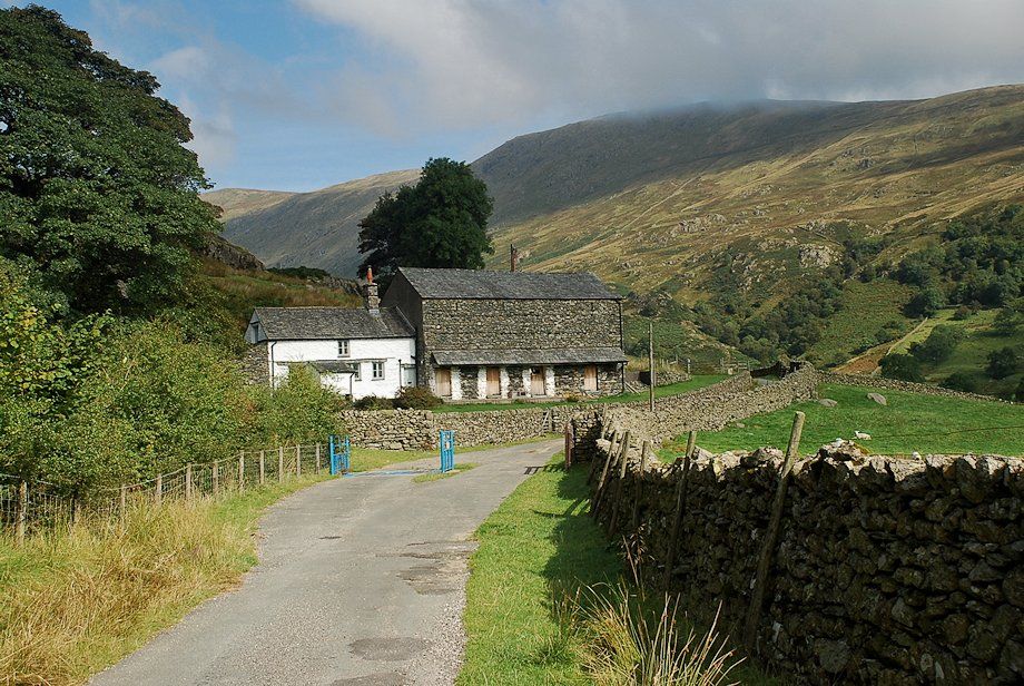
| Hartrigg farmhouse |
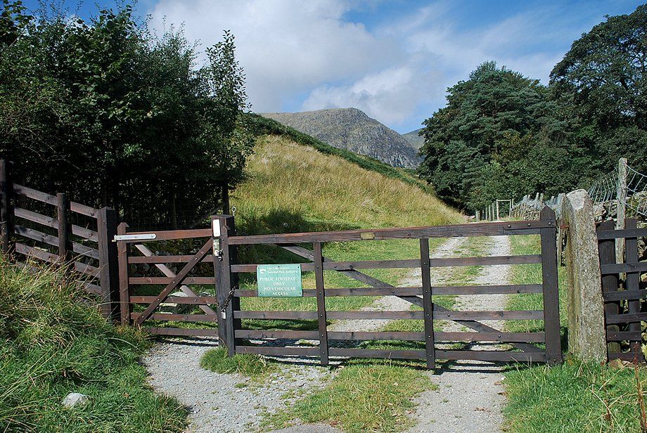 |
| Beyond Hartrigg the lane becomes a gated track which leads to the Kentmere Reservoir |
 |
| Rainsborrow Crag |
 |
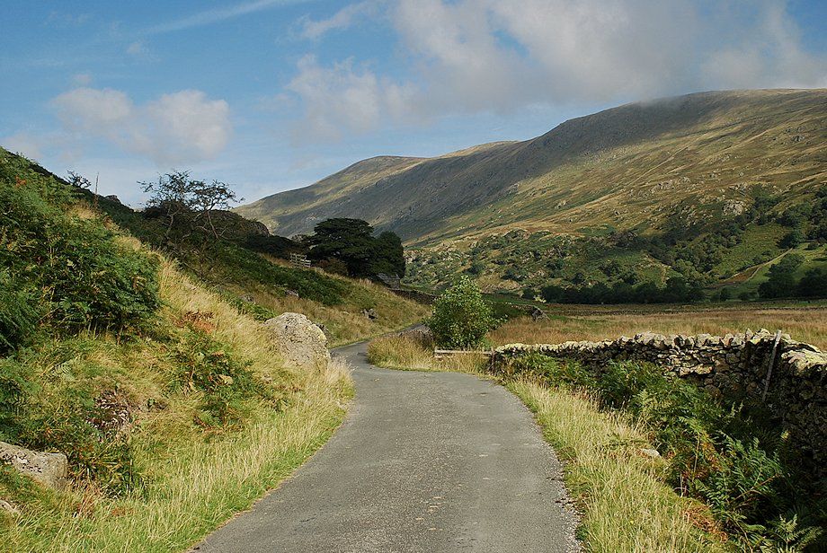
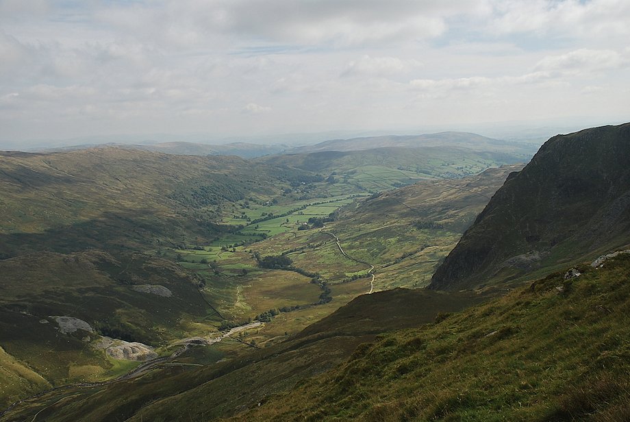
| As the track begins to descend the view opens out to the head of the valley |
 |
| Mardale Ill Bell and Nan Bield Pass as the track approaches Reservoir Cottage |
 |
| Looking back along the track from near Reservoir Cottage |
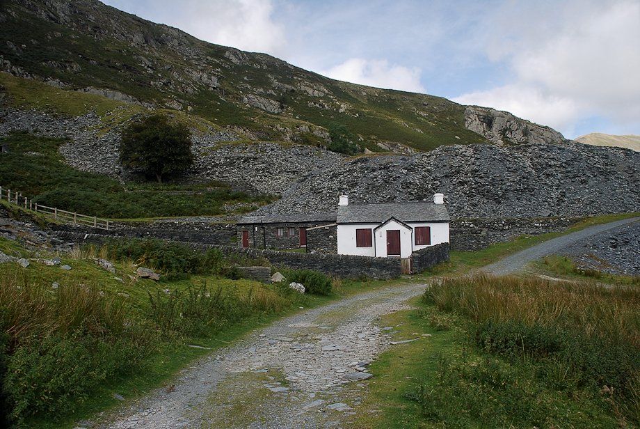 |
| Reservoir Cottage, nestling below the spoil heaps of Steel Rigg Quarry, was built to house the caretaker of the dam. The cottage, and the nearby building, The Barracks, once used as lodgings for itinerant quarrymen, are now used as a Field Study and Outdoor Pursuits Centre |
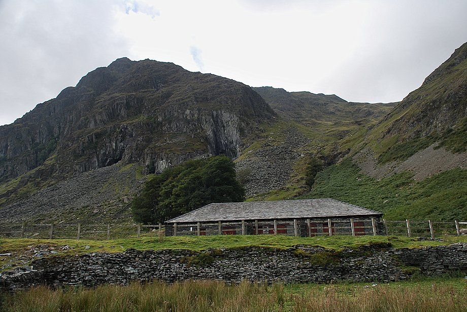 |
| Looking up to Rainsborrow Cove above The Barracks. On the left are the Cauldron and Lambfold Quarries on the lower face of Rainsborrow Crag. Much of the output from Lambfold Quarry was used for the construction of the reservoir dam |
 |
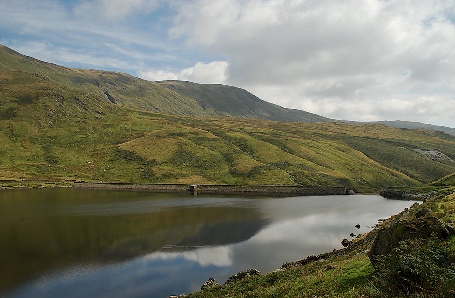
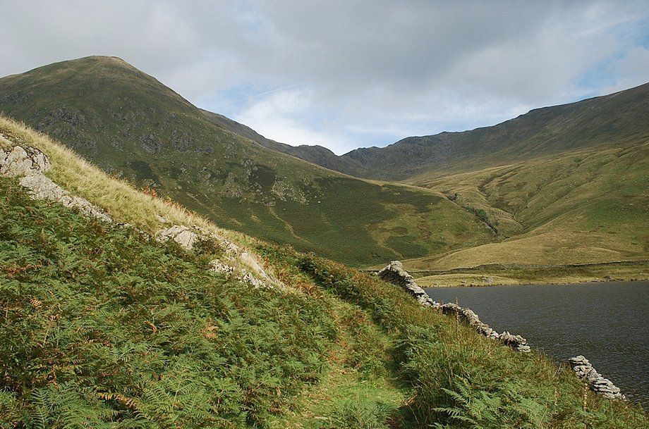
| Approaching the Kentmere Reservoir dam |
 |
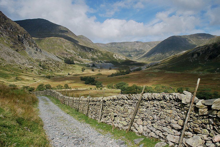
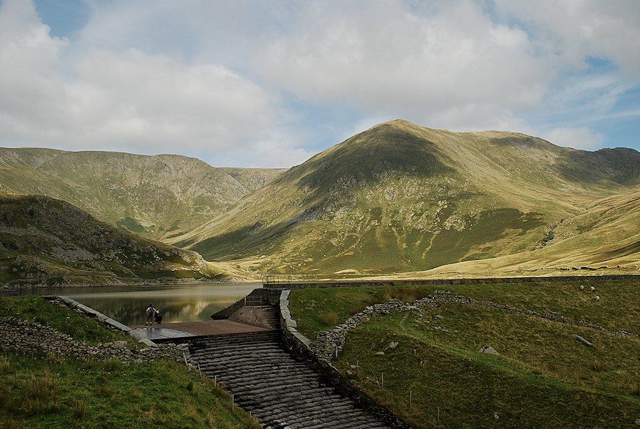
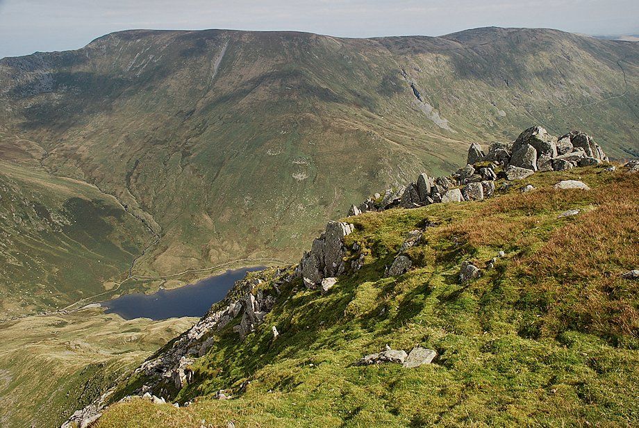
| Mardale Ill Bell and Nan Bield Pass from the Kentmere Reservoir dam. The path continues alongside the western side of the reservoir |
 |
| The north-east ridge of Ill Bell from the Kentmere Reservoir dam |
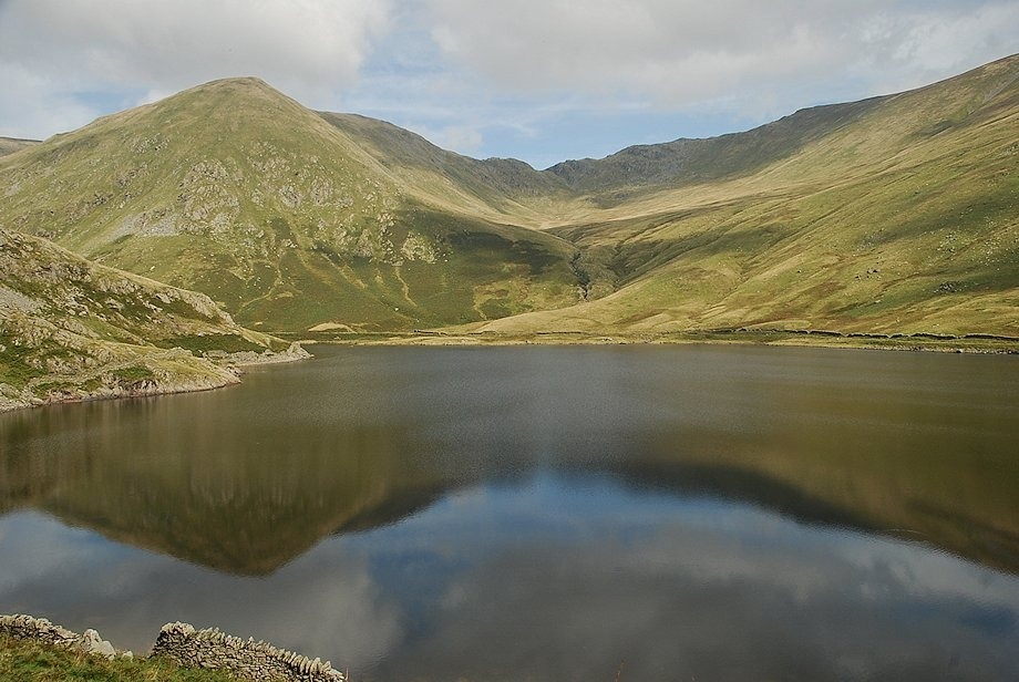 |
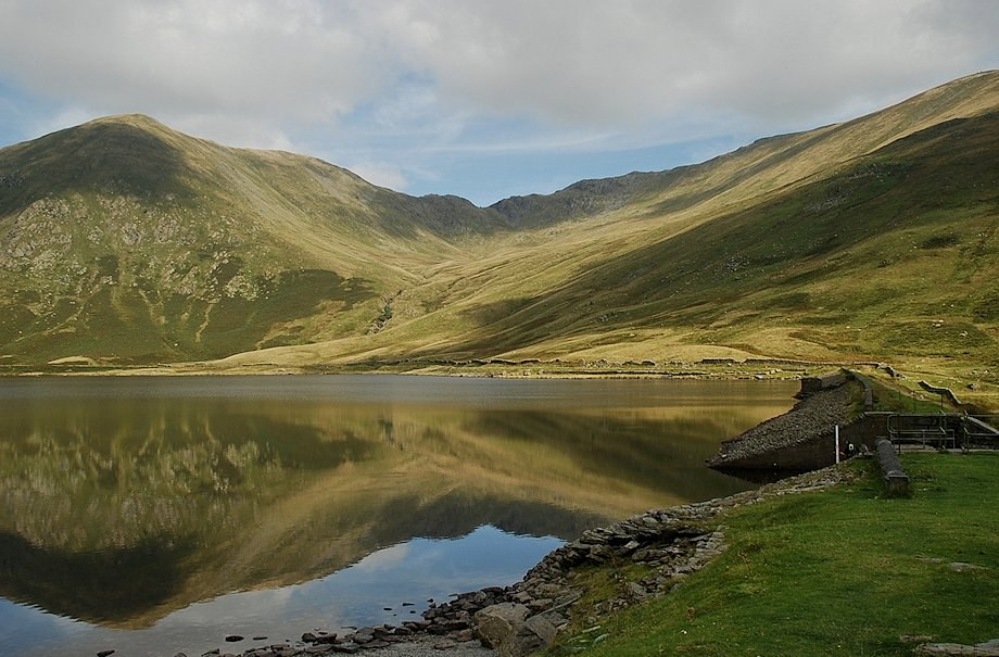
| Mardale Ill Bell and Nan Bield pass |
 |
| Looking back towards Kentmere Pike |
 |
| The path passes below the rough southern flank of Leads Howe |
 |
| Approaching the head of the reservoir |
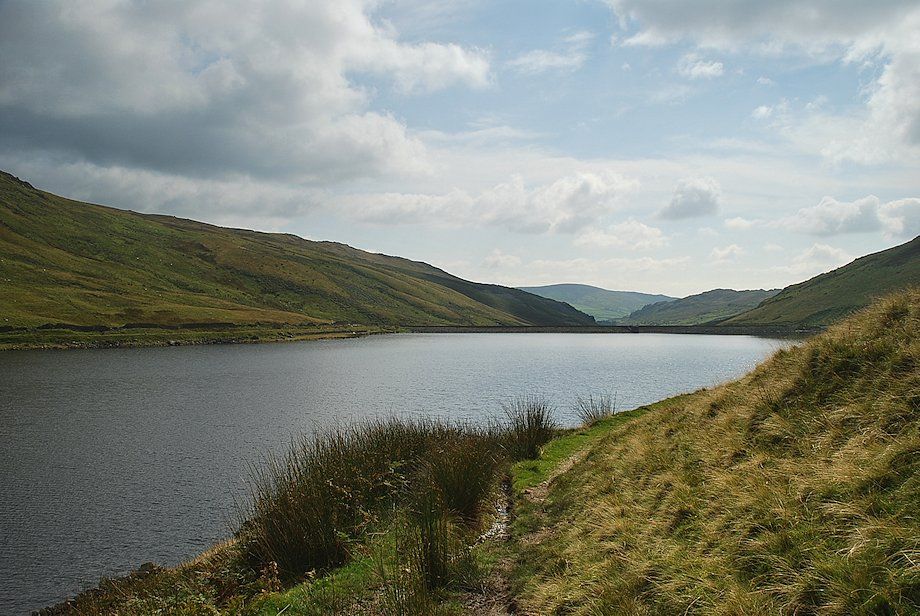 |
| Looking back from the head of the reservoir |
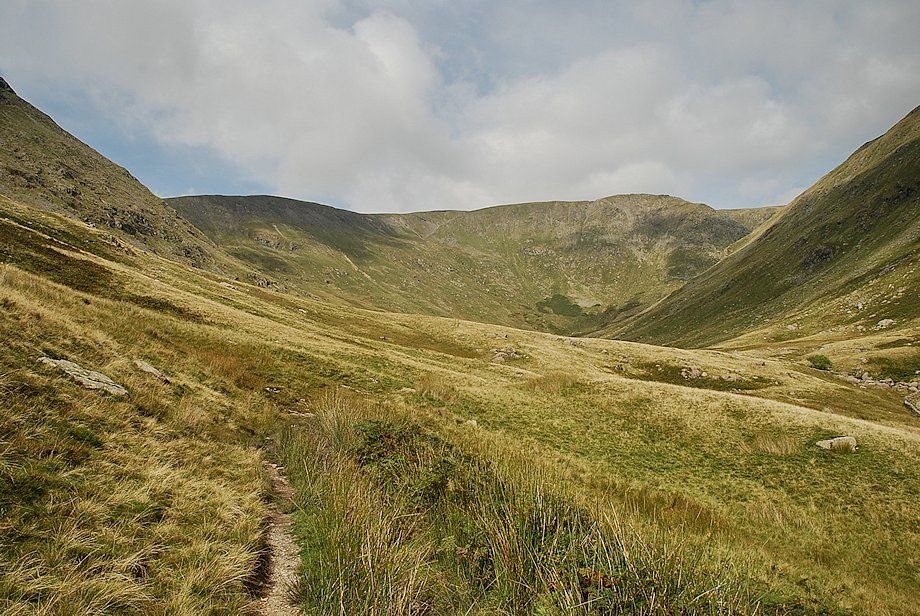 |
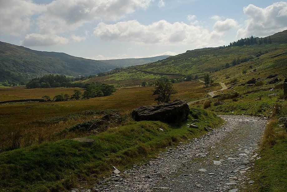
| Once past the reservoir the path begins to fade and all but disappears as it continues towards the unfrequented head of the valley |
 |
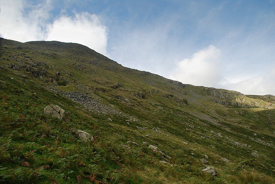
| Time to leave the path to begin the ascent of the north-east ridge by making a rising traverse to reach the ridgeline of Leads Howe |
 |
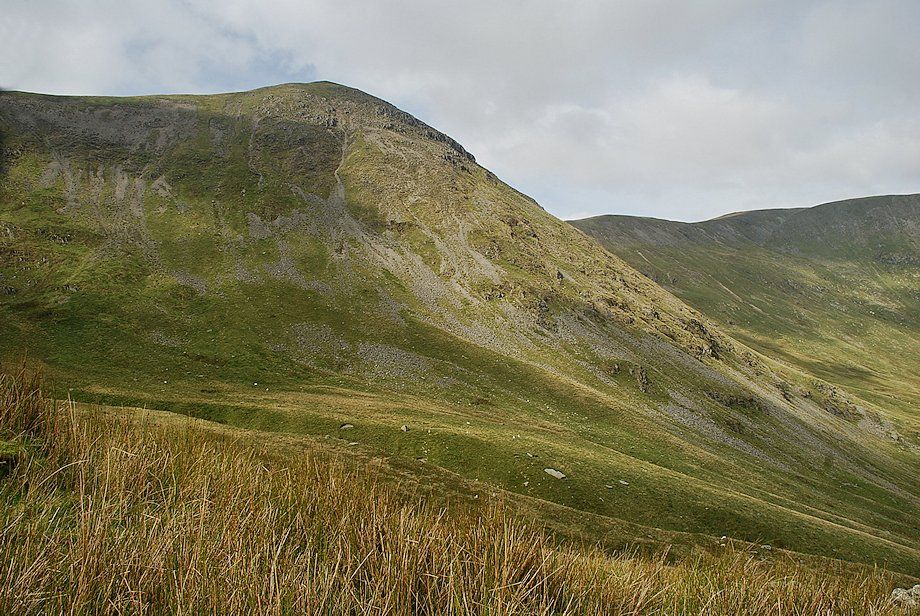
| Froswick from the start of the climb to Leads Howe |
 |
| Looking back from the lower slopes of Leads Howe |
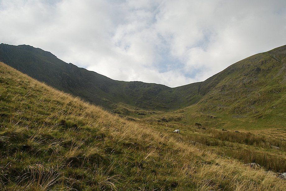 |
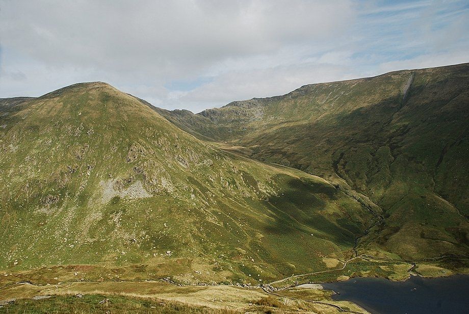
| Over Cove and the col between Ill Bell and Froswick |
 |
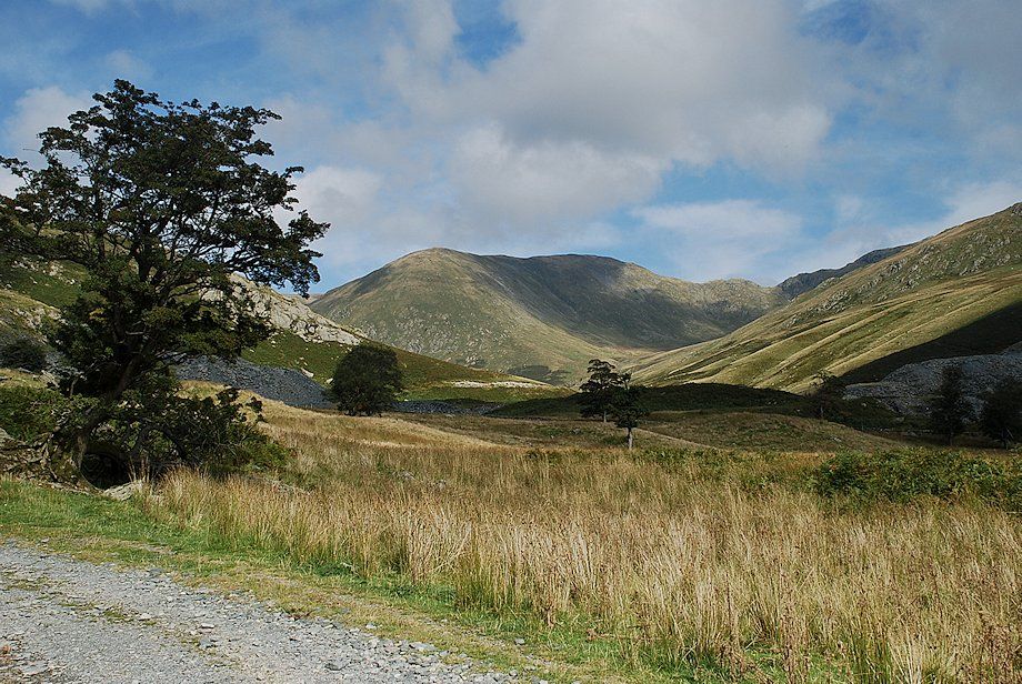
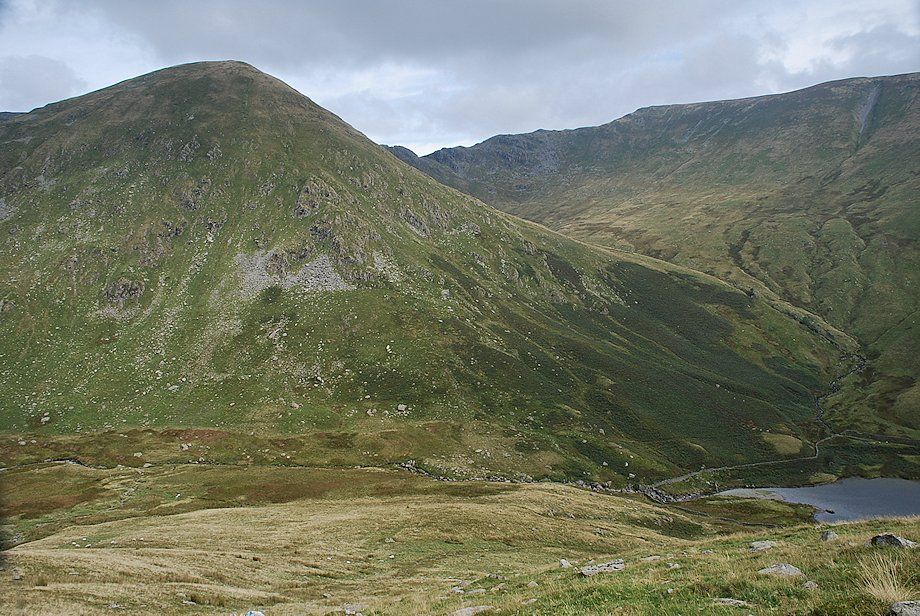
| Harter Fell from the lower slopes of Leads Howe |
 |
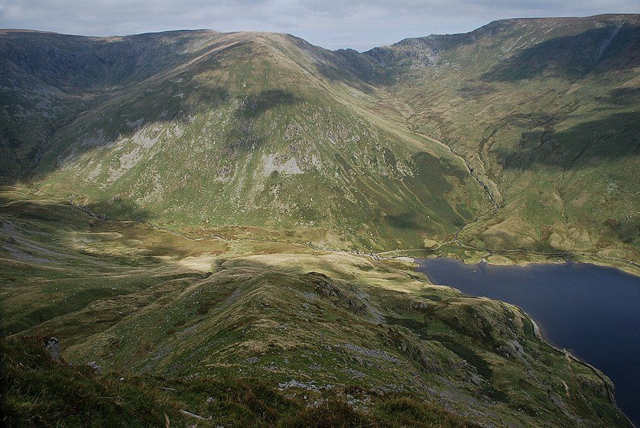
| Looking across to Rainsborrow Crag |
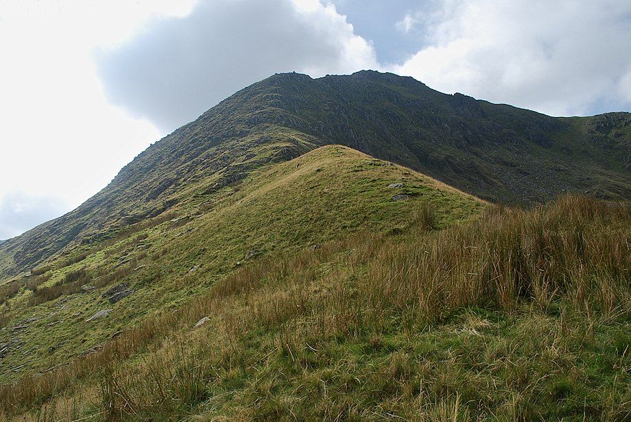 |
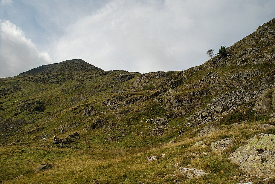
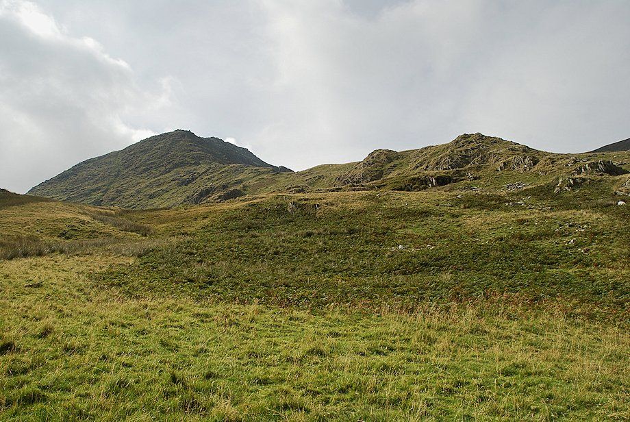
| On reaching the top of Leads Howe the middle and upper parts of the north-east ridge come into view |
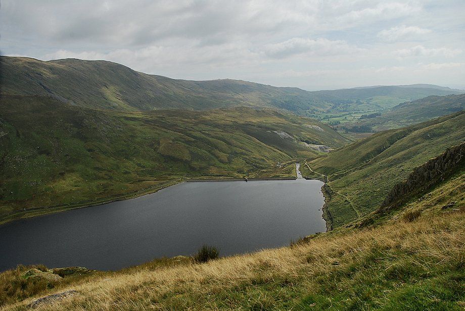 |
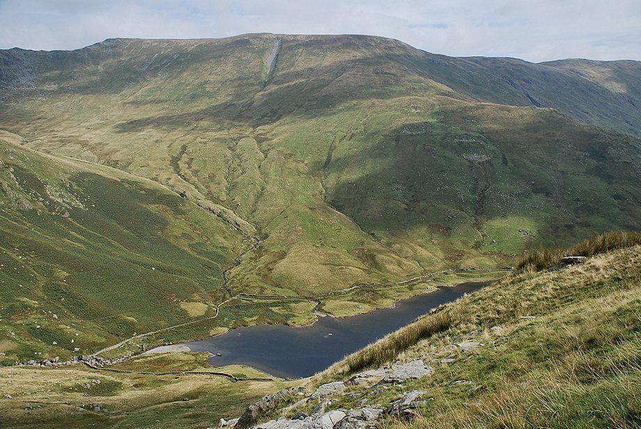
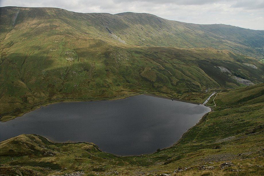
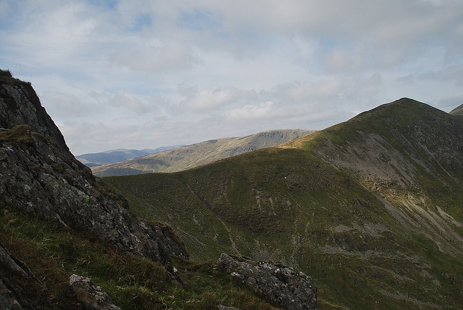
| Kentmere Reservoir from Leads Howe |
 |
| Nan Bield Pass from the top of Leads Howe |
 |
| Looking across to the summit of Froswick from Leads Howe |
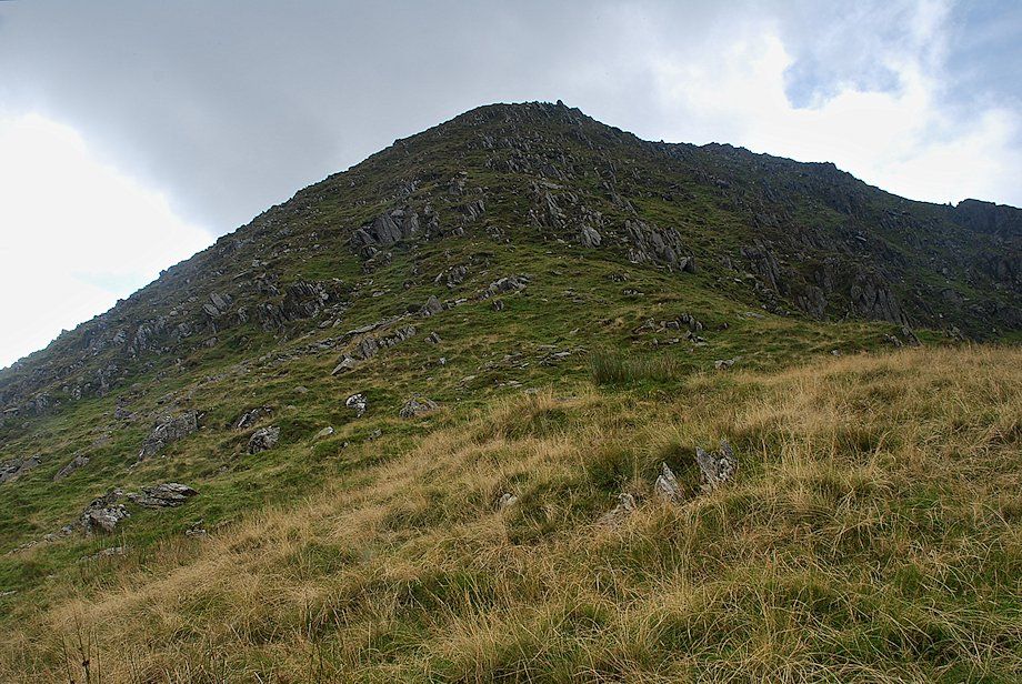 |
| Approaching the steep upper part of the ridge |
 |
| Harter Fell and Kentmere Pike from the upper part of the north-east ridge |
 |
| Looking back to the top of Leads Howe |
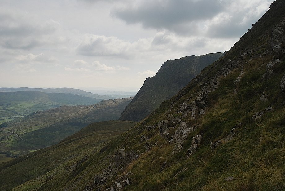 |
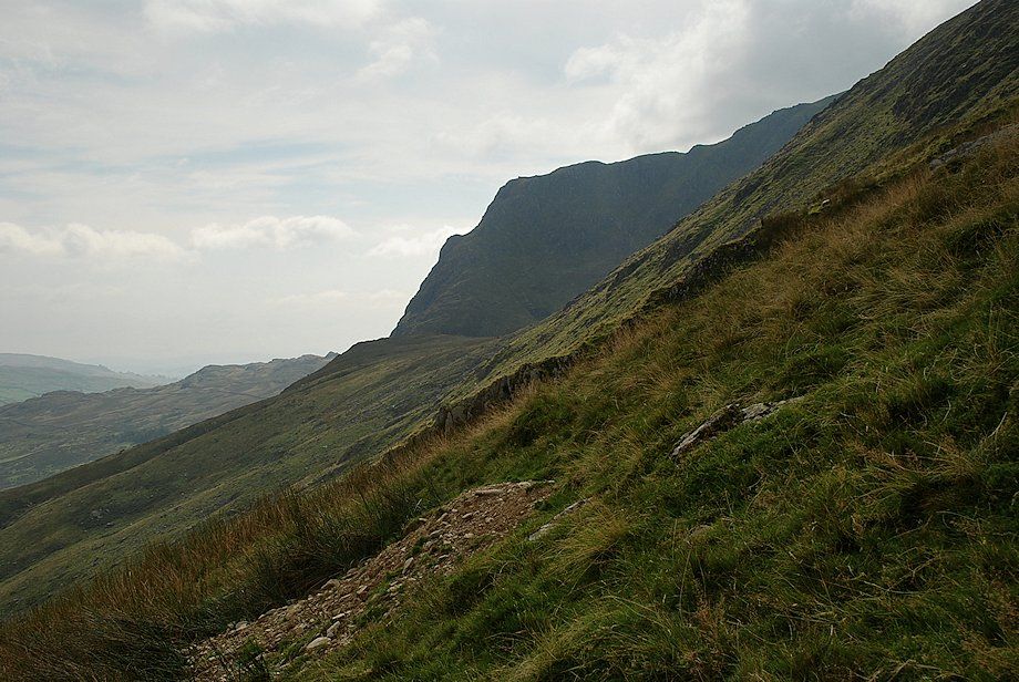
| Rainsborrow Crag across the steep slope of the north east ridge |
 |
| Caudale Moor appears over the col between Ill Bell and Froswick |
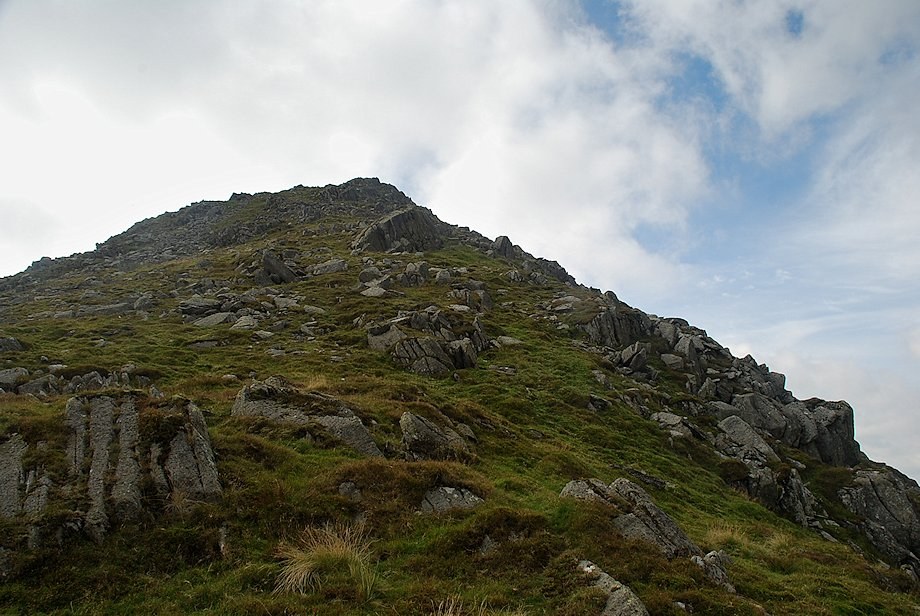 |
| The final slope leading up to the summit |
 |
| Kentmere fom near the top of the north-east ridge |
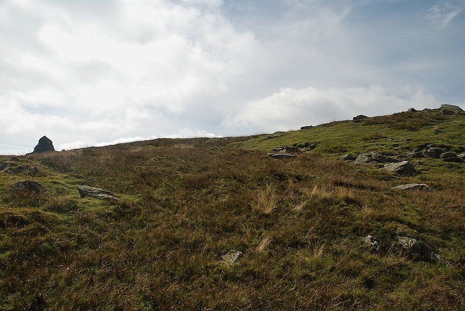 |
| The summit of Ill Bell comes into view |
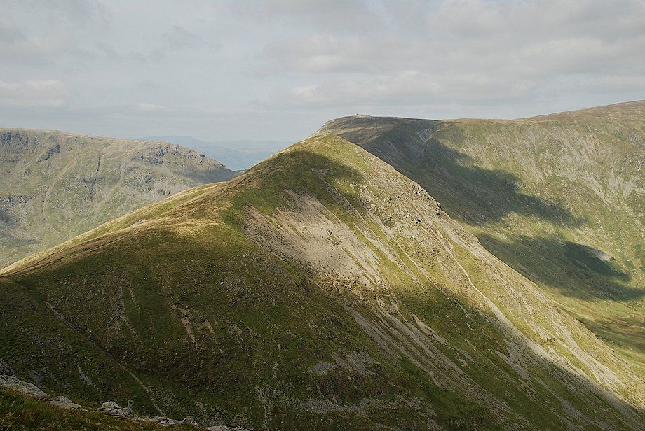 |
| Froswick and Thornthwaite Crag from the top of the north-east ridge |
 |
| Harter Fell and Kentmere Pike from the top of the north-east ridge |
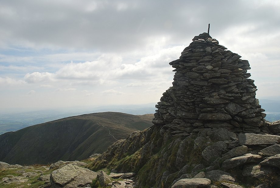 |
| The southern cairn on the summit of Ill Bell |
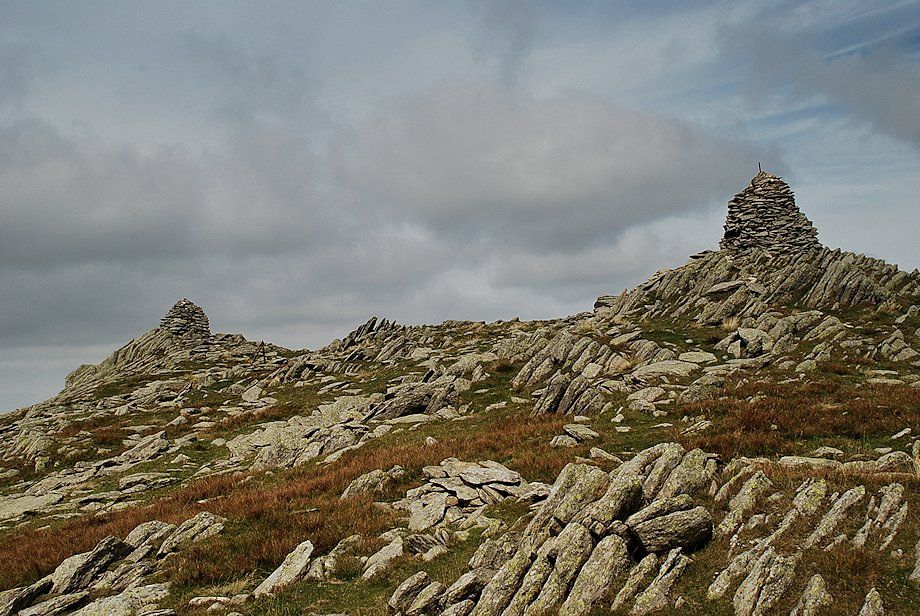 |
| The northern and southern cairns on the summit of Ill Bell. It's difficult to tell which one occupies the higher ground |
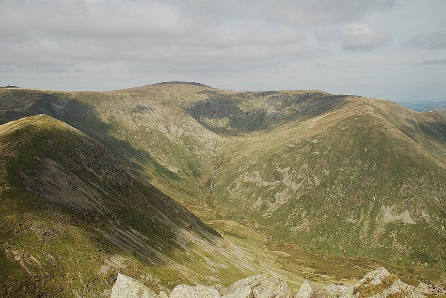 |
| Froswick, Thornthwaite Crag, High Street and Mardale Ill Bell circle the head of Kentmere |
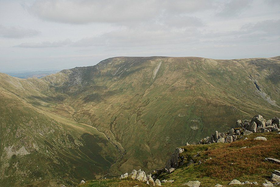 |
| Nan Bield Pass and Harter Fell |
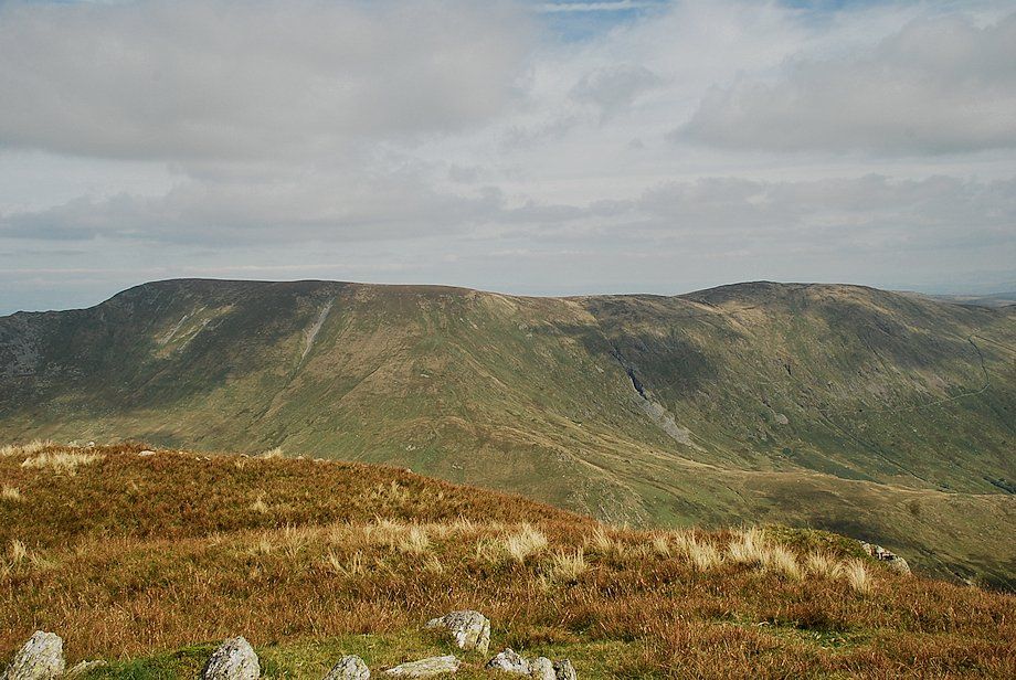 |
| Harter Fell and Kenttmere Pike from the summit of Ill Bell |
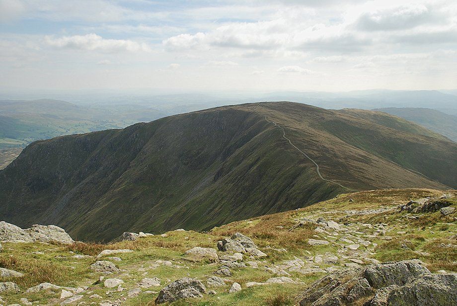 |
| The connecting ridge to Yoke |
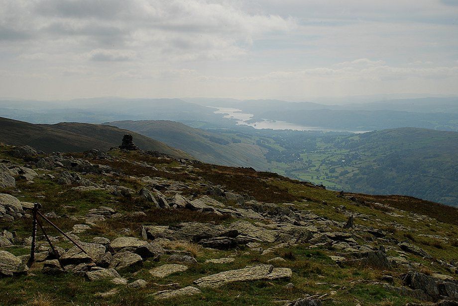 |
| Windermere from the summit of Ill Bell |
 |
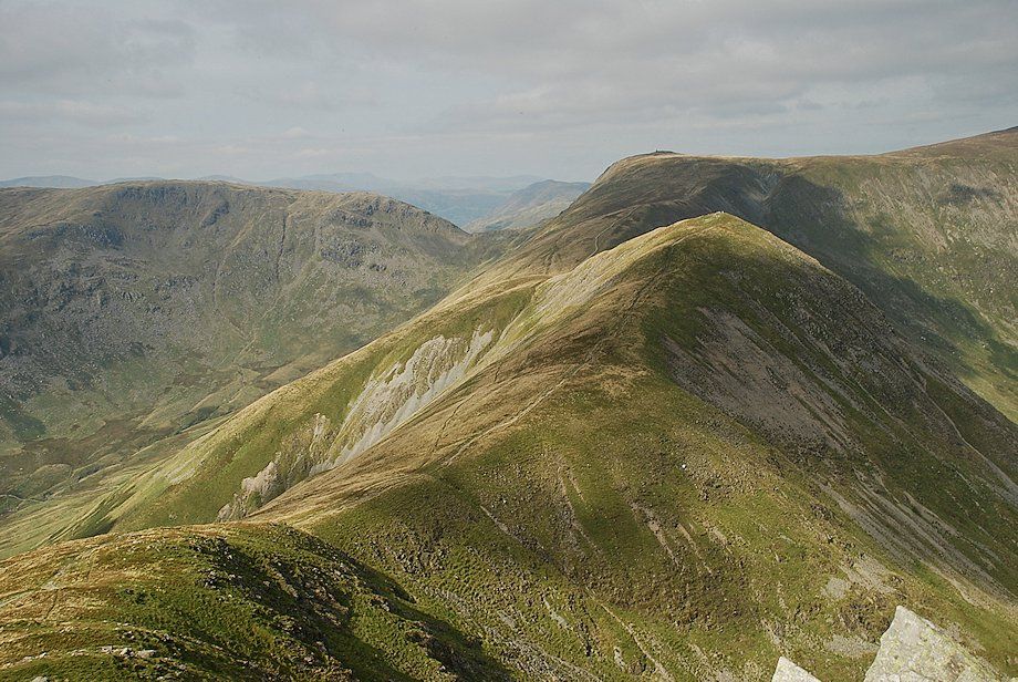
| Caudale Moor from the summit of Ill Bell |
 |
| The connecting ridge to Froswick and Thornthwaite Crag |
