
| Illgill Head - Route One |
| Start - Wasdale Head NY 182 074 | Distance - 2.2 miles | Ascent - 1,800 feet | Time - 1 hour : 45 minutes |
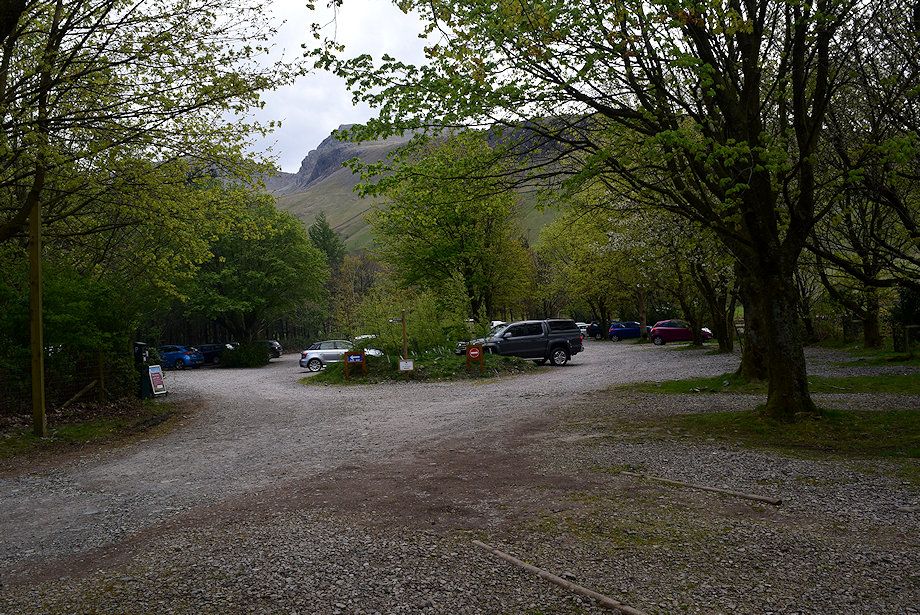 |
| The National Trust car park adjacent to the campsite is the starting point for this walk |
 |
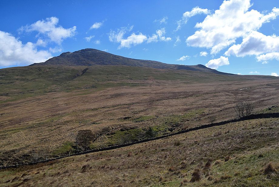
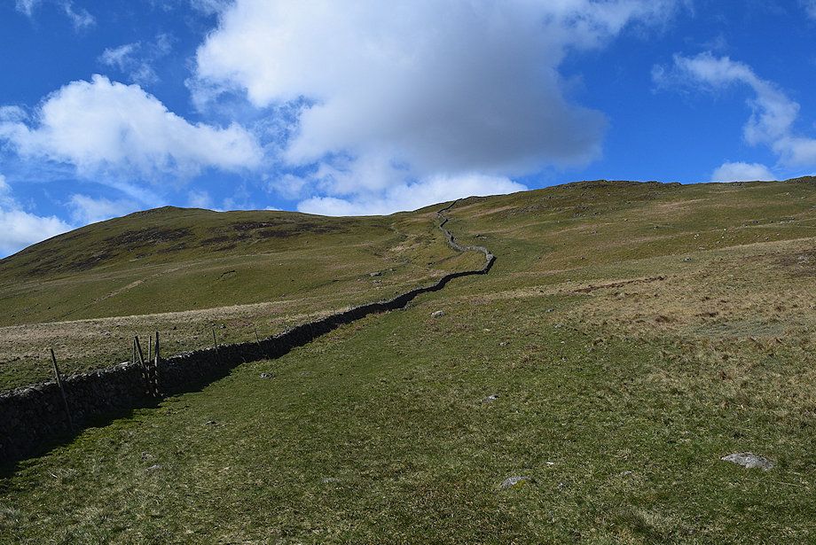
| Illgill Head from the edge of the car park |
 |
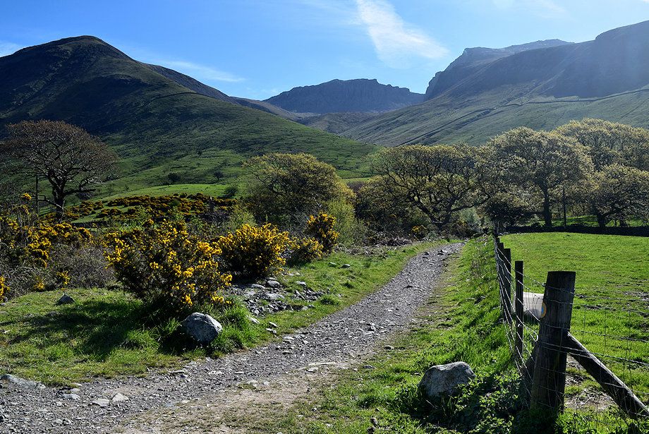
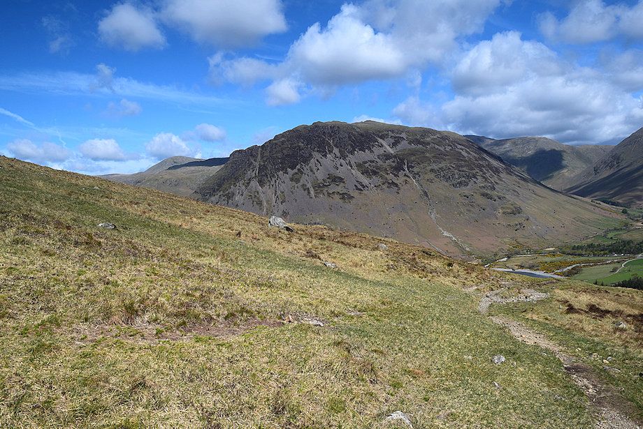
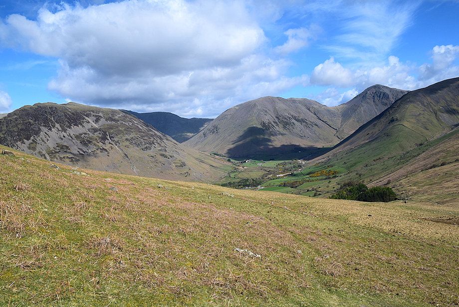
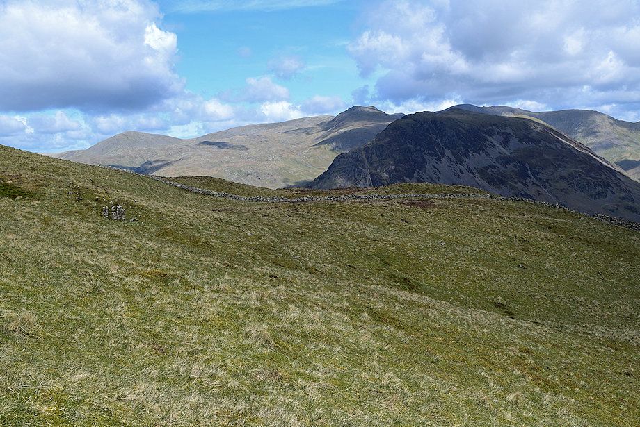
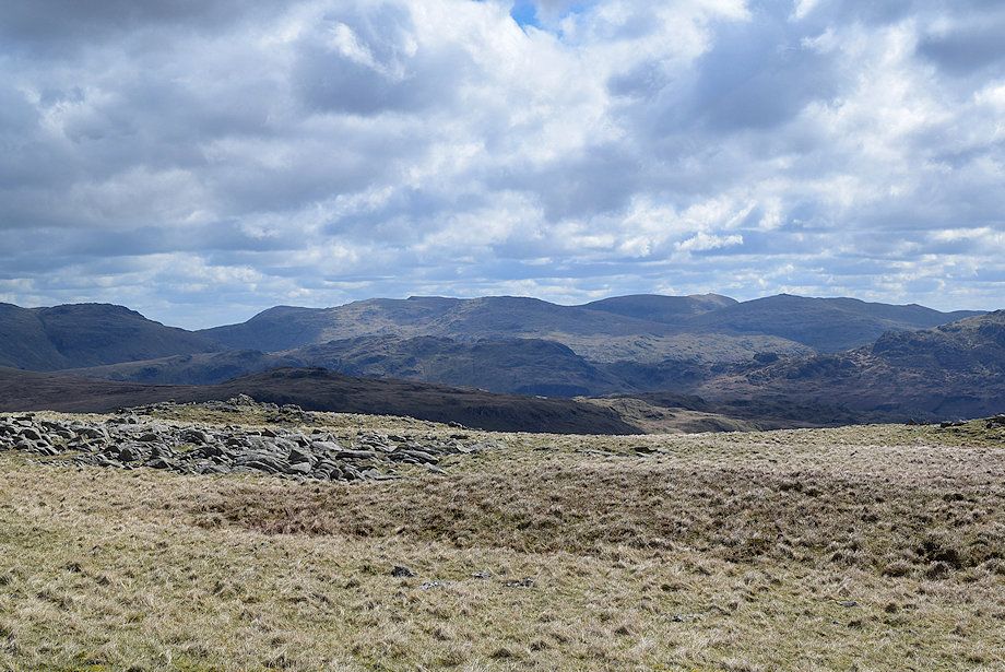
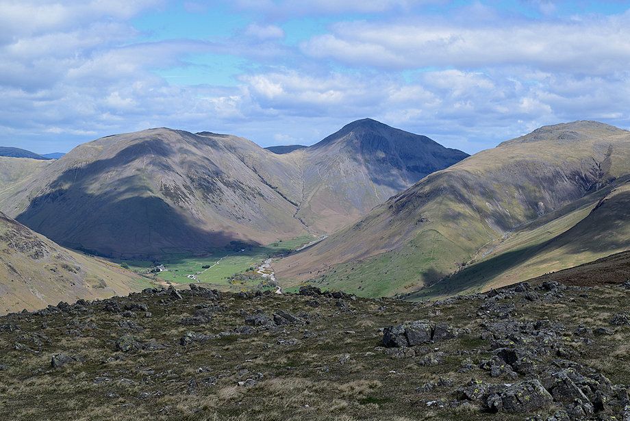
| Great Gable and Lingmell from the Mountain Rescue vehicles' parking area |
 |
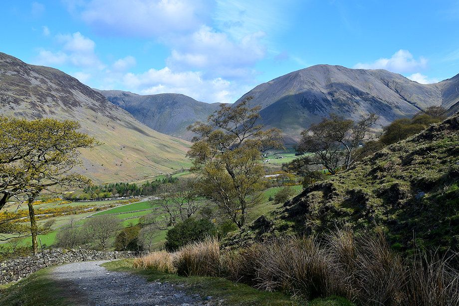
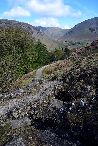
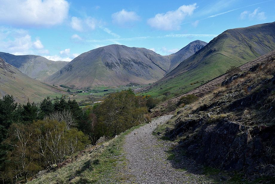
| Initially, the route follows the old Corpse Road which can be seen rising diagonally alongside a wall to the col above the conifer plantation. The road was used in the past to carry the dead of Wasdale by packhorse over to Eskdale for burial in consecrated ground |
 |
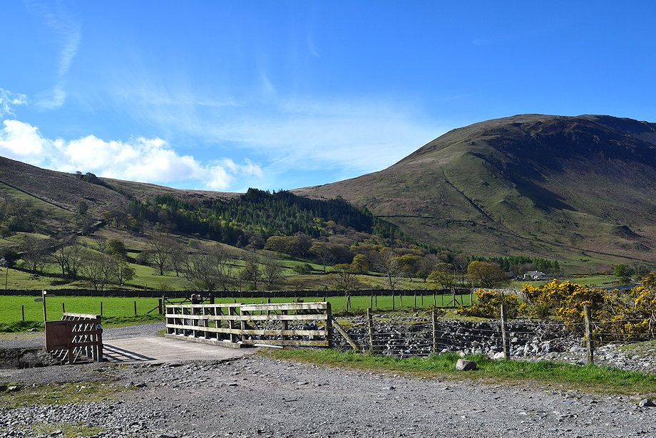
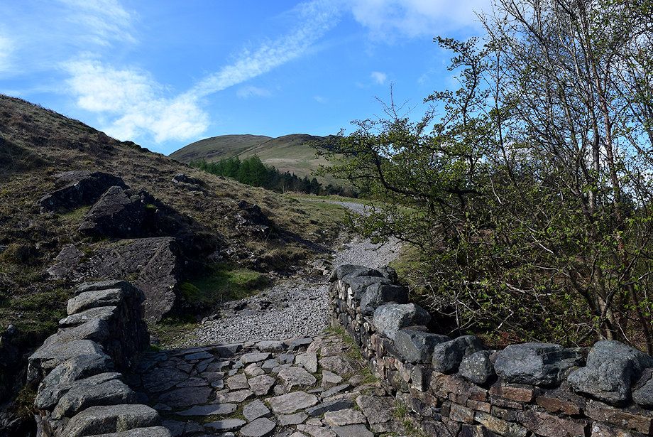
| After crossing the wide bridge spanning Lingmell Gill follow the old Corpse Road Road track which is signed for Eskdale and Miterdale. The track soon splits - keep right at the fork passing below Brackenclose, the Fell and Rock Climbing Club hut, set in its wooded enclosure |
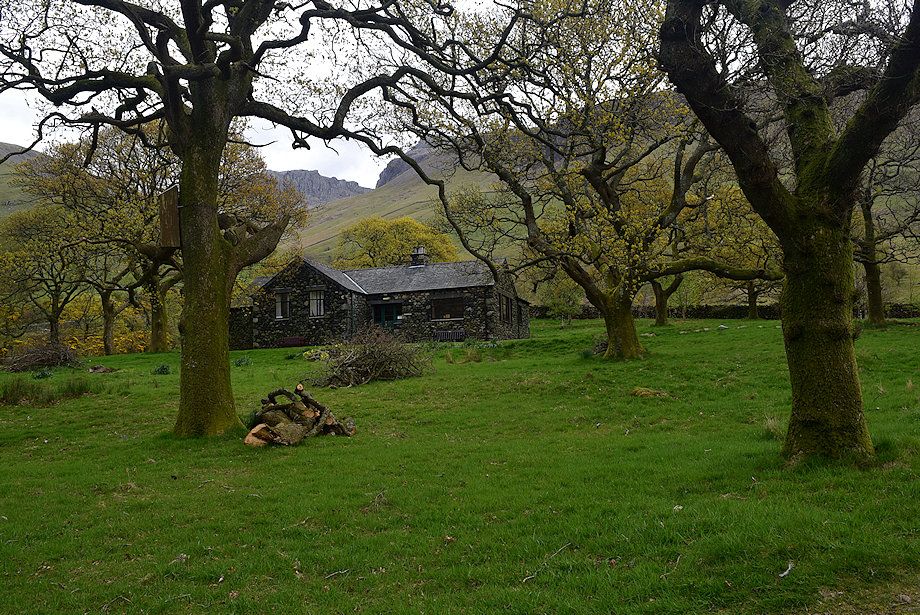 |
| Passing Brackenclose |
 |
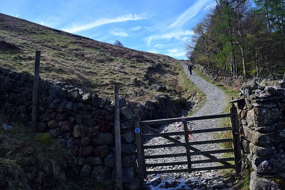
| On emerging from the Brackenclose enclosure the track passes through the first of three gates as it rises gently towards the col below Illgill Head |
 |
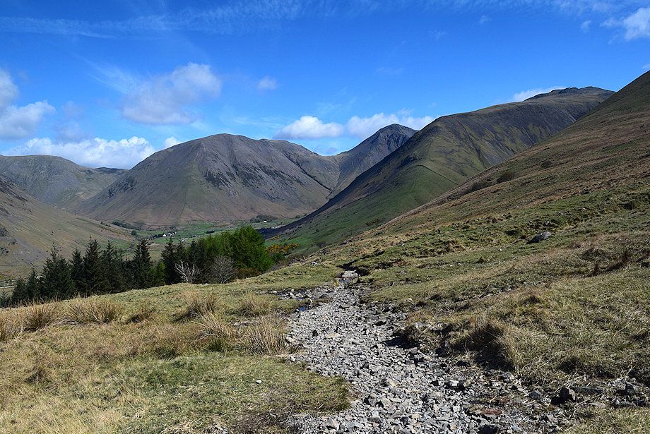
| Looking over towards Lingmell, Scafell Pike and Scafell |
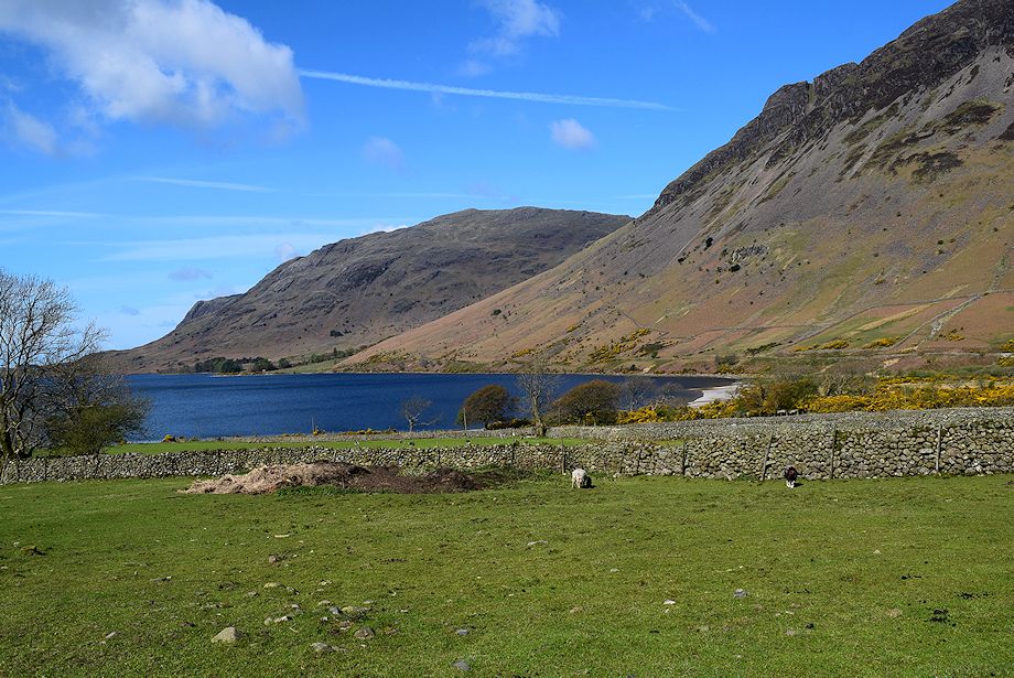 |
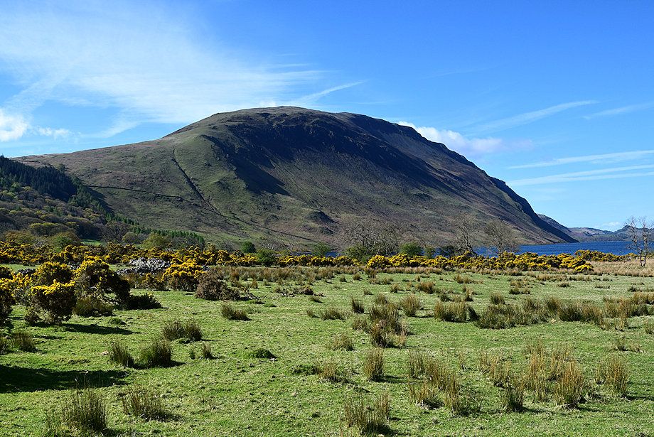
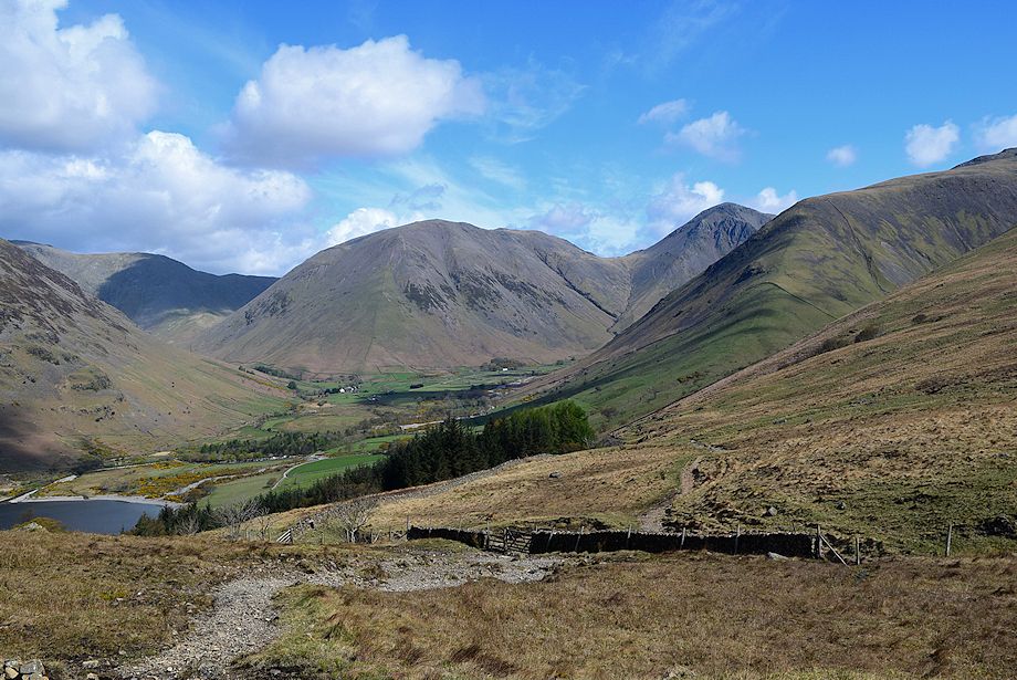
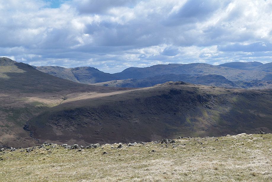
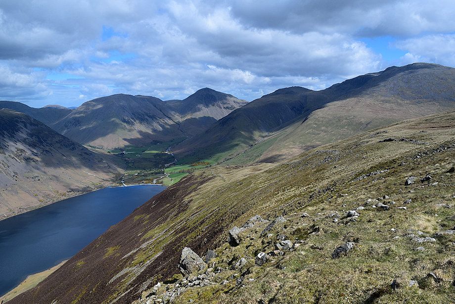
| Buckbarrow and Middle Fell across Wast Water with Yewbarrow on the right |
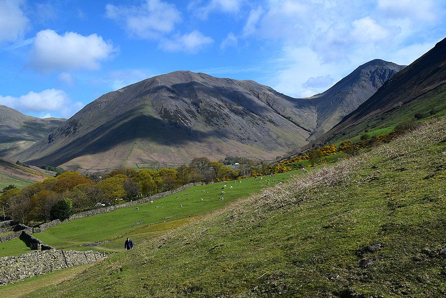 |
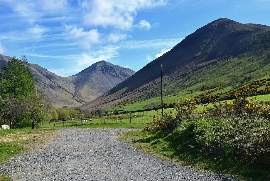
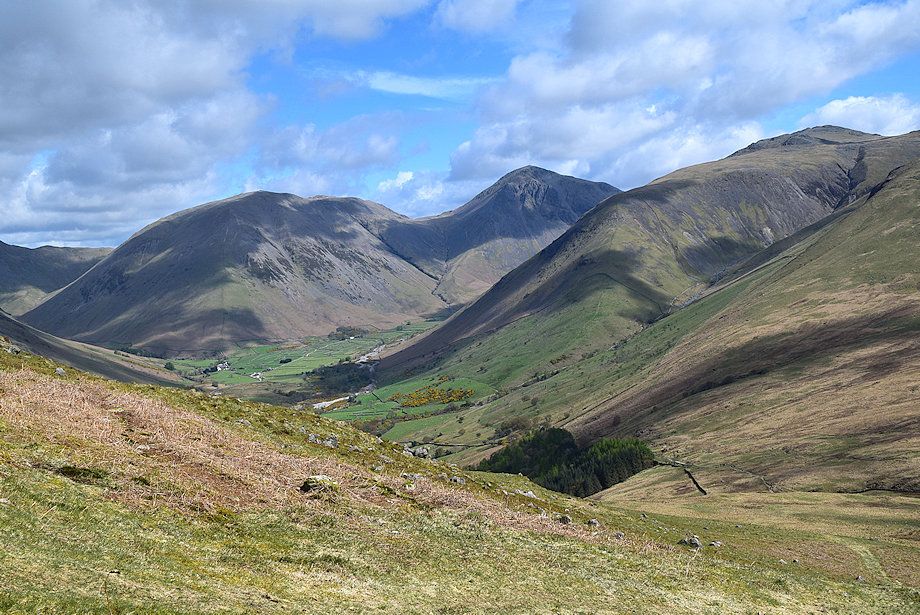
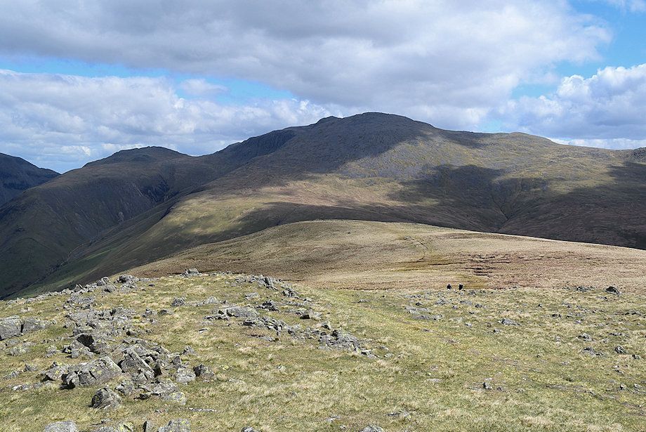
| Looking back towards Kirk Fell |
 |
| Looking over towards Lingmell and Scafell Pike from the old Corpse Road |
 |
| Looking back to the car park which can be seen amongst the trees on the left |
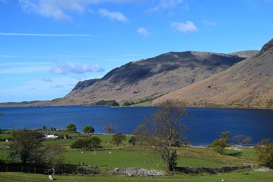 |
| Buckbarrow and Middle Fell across Wast Water |
 |
| The track becomes a little rougher on passing through the second gate |
 |
| Looking back to Wasdale Head from above the second gate |
 |
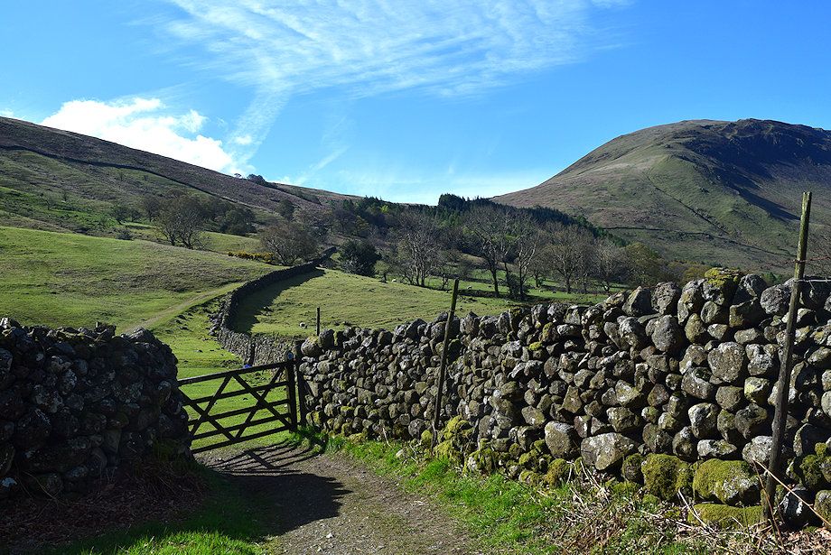
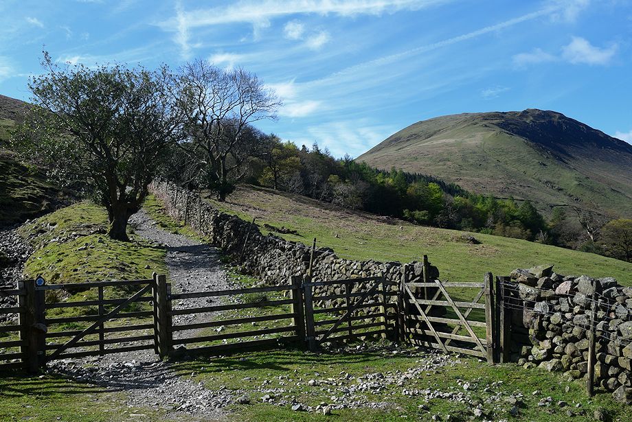
| On passing through the third gate the track emerges onto the open fellside and climbs towards an unusual double arched bridge over the confluence of Hollow Gill and Groove Gill |
 |
| Illgill Head from the double-arched bridge |
 |
| Looking back from the double-arched bridge |
 |
| Above the bridge the track continues alongside the conifer plantation and several ruined peat drying huts |
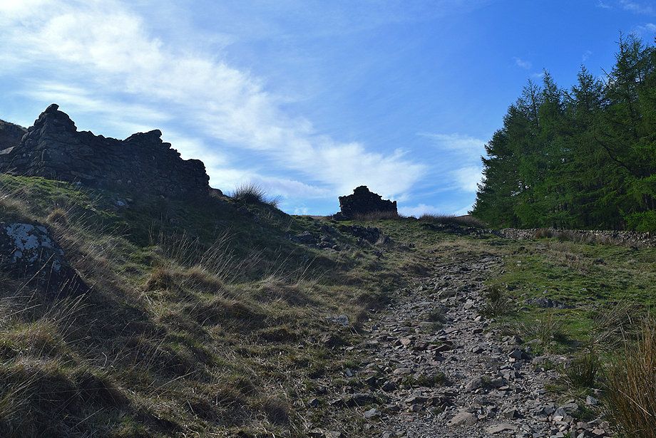 |
| The ruined peat drying huts which date back to the eighteenth century |
 |
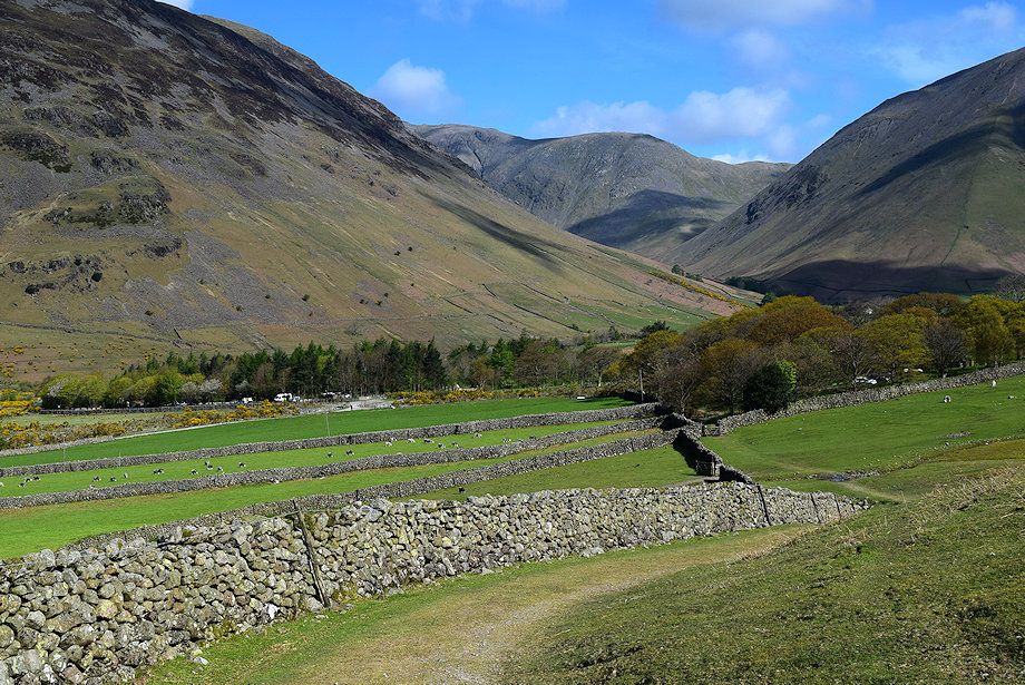
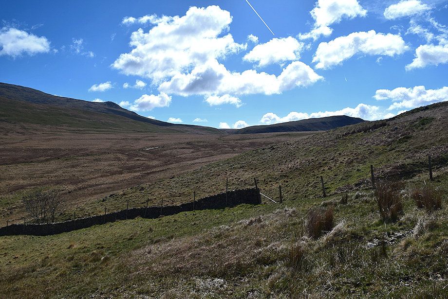
| Looking back to Wasdale Head from below the ruined huts |
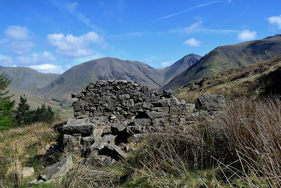 |
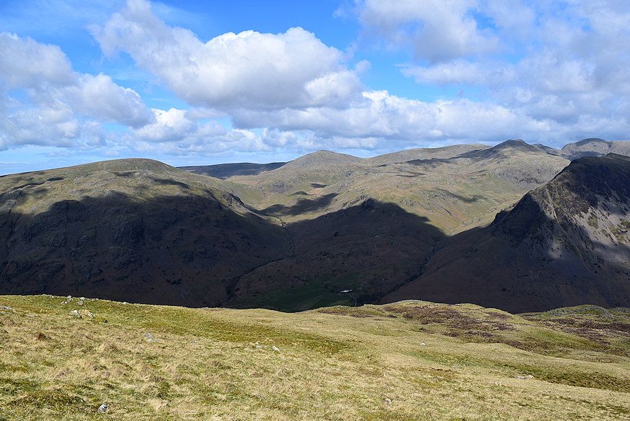
| Kirk Fell and Great Gable from one of the ruined huts, there are three adjoining the the Old Corpse track and three more above these on the fellside |
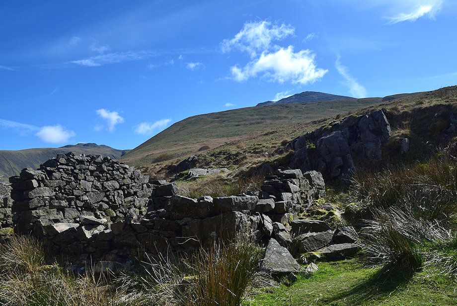 |
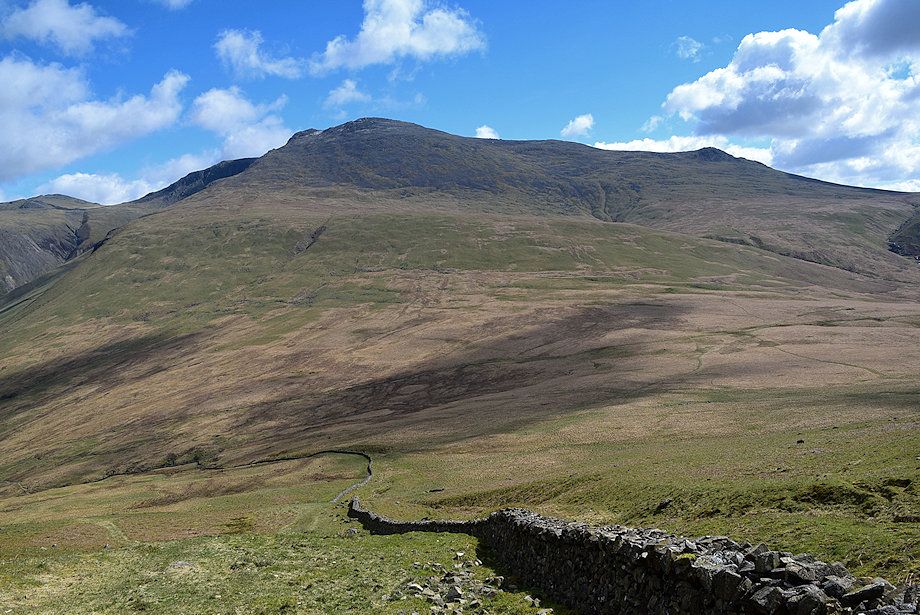
| Scafell from the site of the ruined huts |
 |
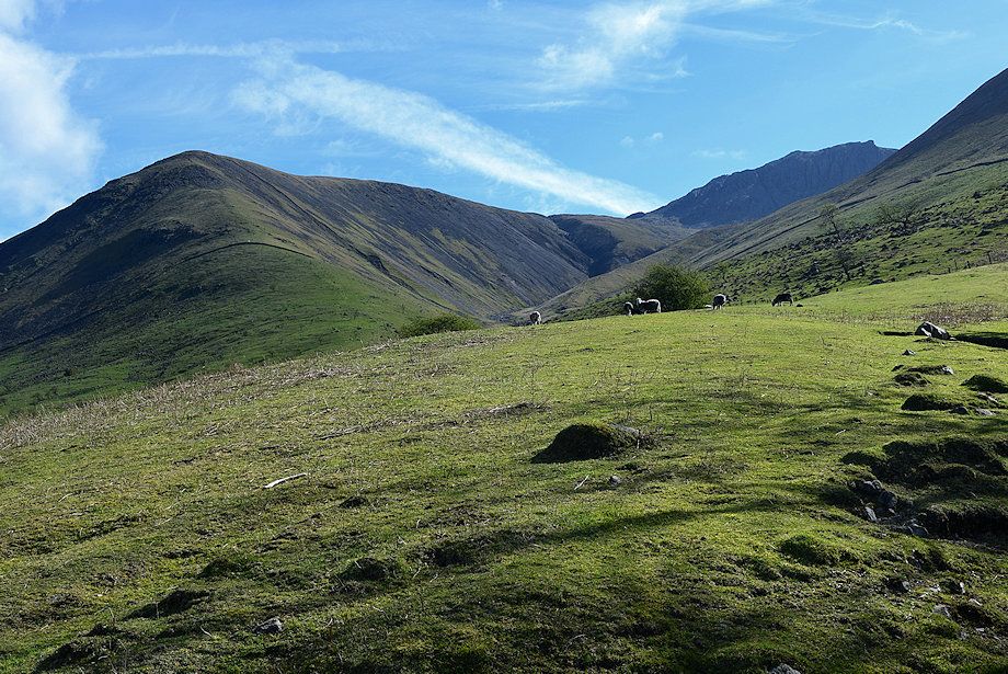
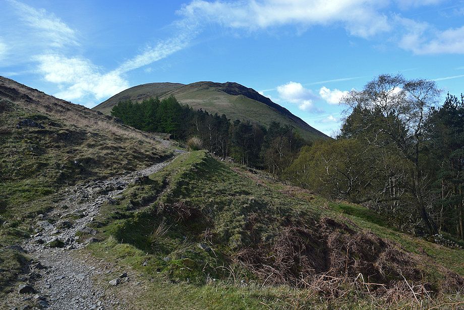
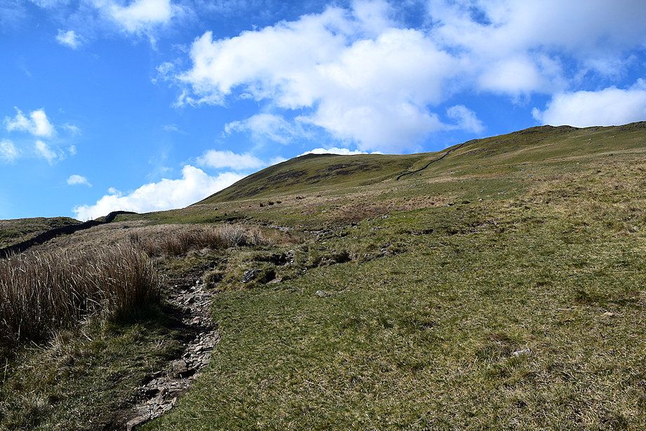
| Approaching the col below Illgill Head |
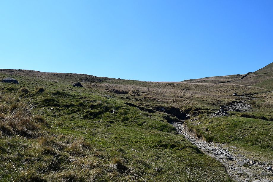 |
| The track divides about 170 yards beyond the ruined peat huts. The right branch descends to cross Straighthead Gill bound for the summit of Illgill Head, the old Corpse Road leads left on towards Burnmoor Tarn |
 |
| Looking back from Straighthead Gill |
 |
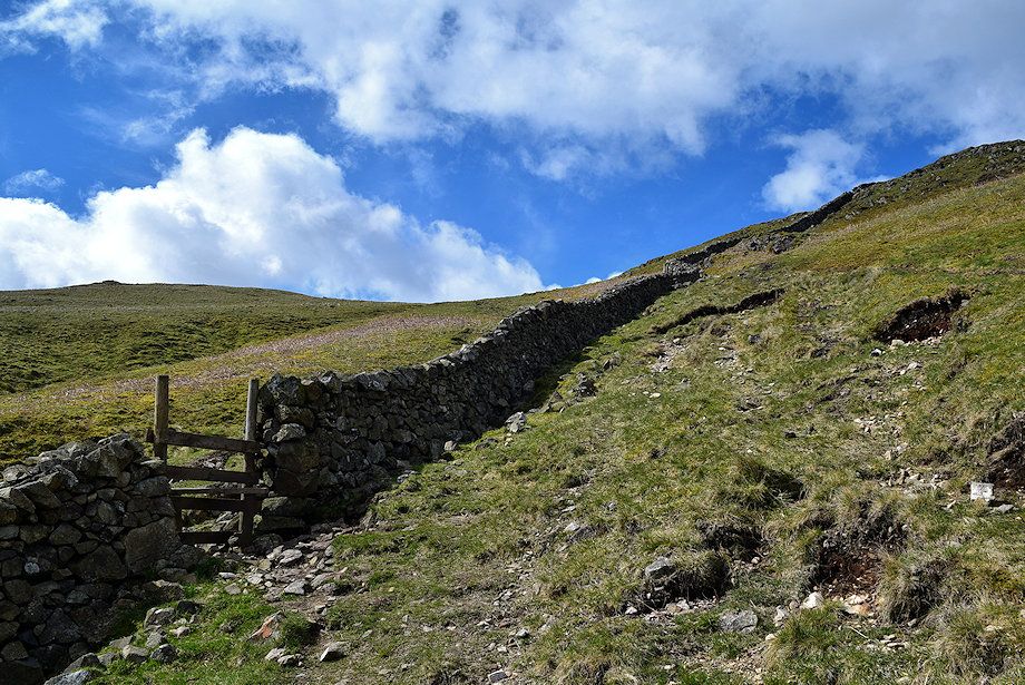
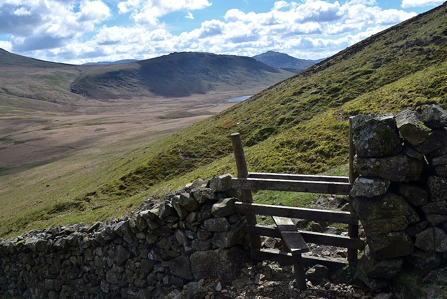
| Above the gill a gate and stile give access to the broad north eastern slopes of Illgill Head |
 |
| Looking back from above the gate and stile |
 |
| Looking over towards Scafell and Slight Side |
 |
| The path gradually climbs over to the left to follow the course of the wall |
 |
| Looking over towards Slight Side and Great How |
 |
| Looking back towards Yewbarrow |
 |
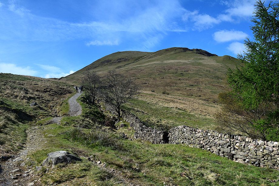
| The wall has been rebuilt along much of its lower part in recent years with the provision of simple step stiles over hurdles. AW depicted it as ruinous in his diagram of this ascent |
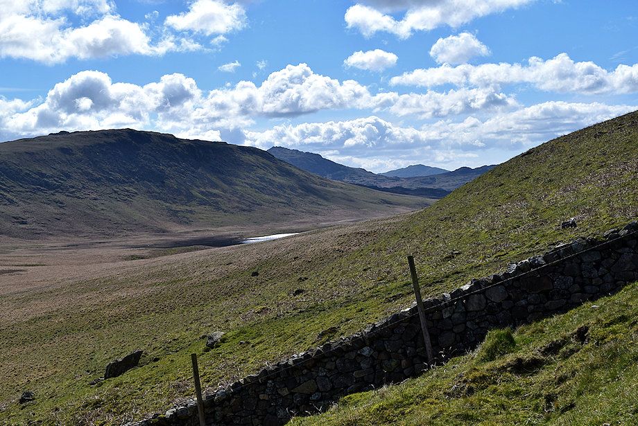 |
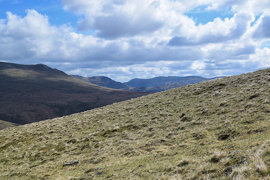
| Burnmoor Tarn comes into view nestled below the slopes of Great How |
 |
| Looking back to Wasdale Head from the path alongside the wall |
 |
| Cross the wall over the second hurdle. The wall does not lead directly to the summit |
 |
| Great How and Harter Fell from the second hurdle |
 |
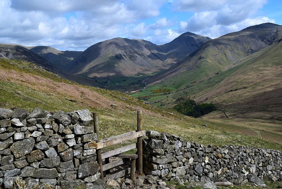
| Looking back to Wasdale Head from the second hurdle |
 |
| Scafell and Slight Side from the second hurdle |
 |
| Kirk Fell, Great Gable and Lingmell from the second hurdle |
 |
| Above the hurdle the path climbs the open slope towards a prominent rock on the skyline |
 |
| Looking over towards Haycock, Scoat Fell and Red Pike with Pillar over Yewbarrow to the right |
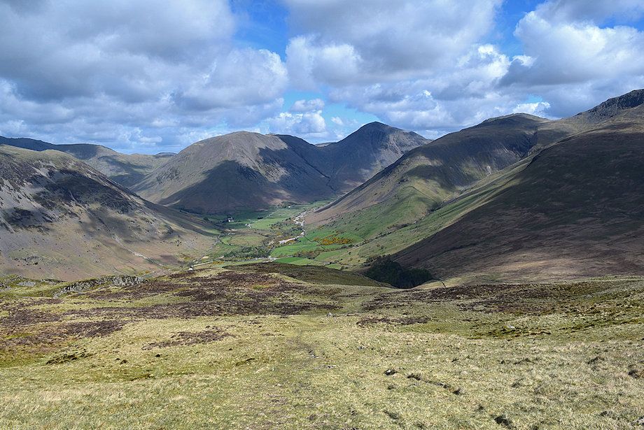 |
| Looking back to Wasdale Head |
 |
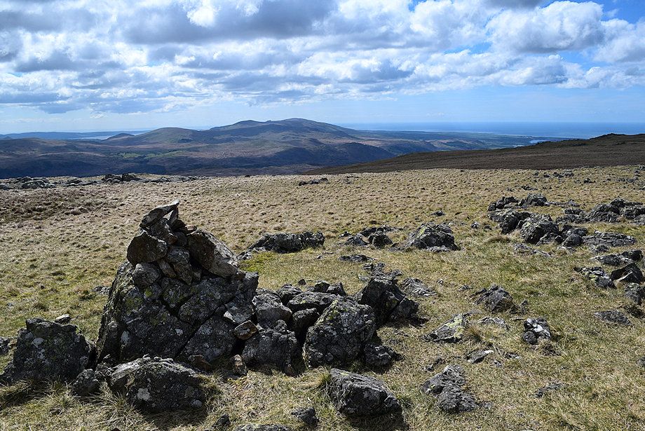
| Looking over towards Middle Fell, Seatallan, Caw Fell, Haycock and Great Scoat Fell |
 |
| Scafell Pike, Scafell, Slight Side and Little Stand |
 |
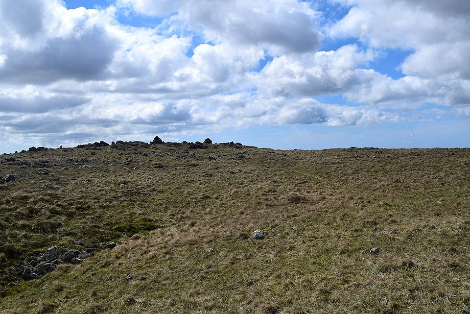
| Approaching the prominent rock, the northen end of the summit ridge comes into view |
 |
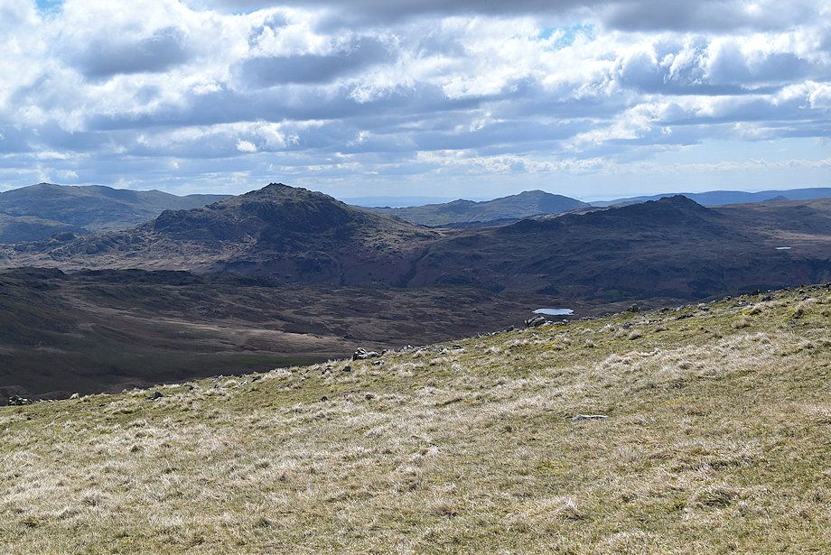
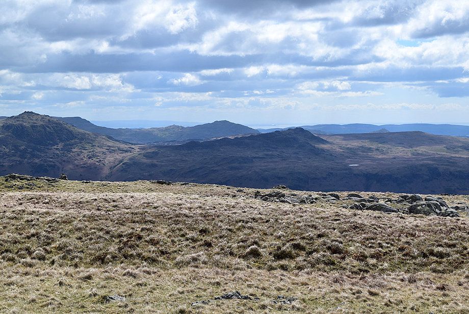
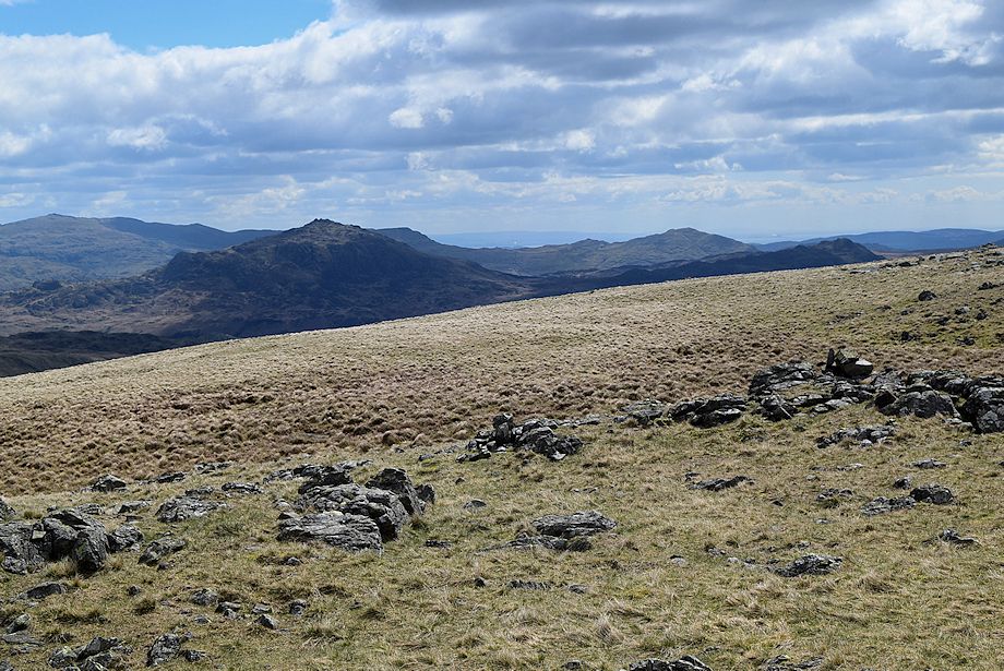
| Looking over to Slight Side, Little Stand and the Coniston Fells |
 |
| Looking north west, Seatallan, Caw Fell, Haycock, Scoat Fell, Red Pike and Pillar form the horizon |
 |
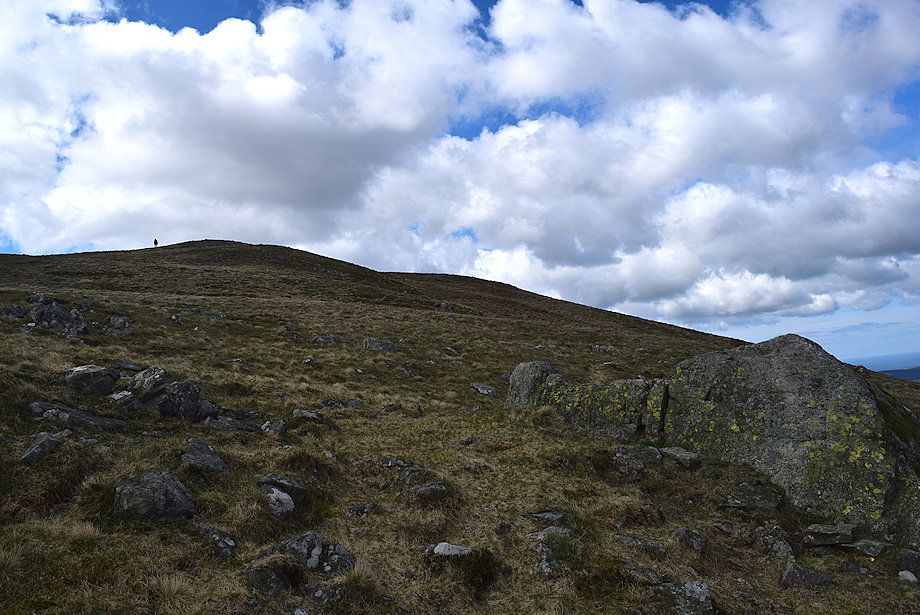
| The finest viewpoint for Wasdale Head is from the prominent rock |
 |
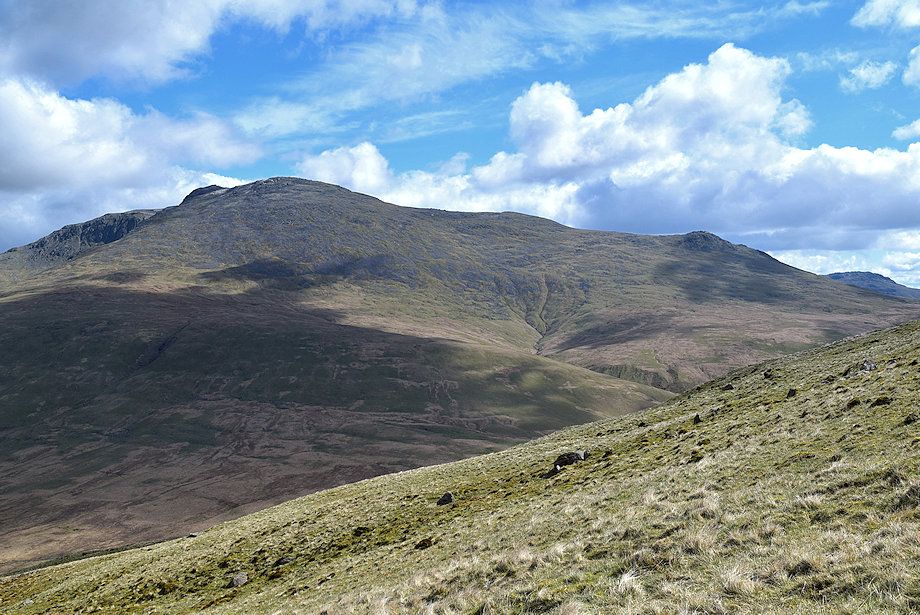
| Scafell from the prominent rock |
 |
| Easy slopes lead up from the rock to a large cairn where the summit of Illgill Head comes into view |
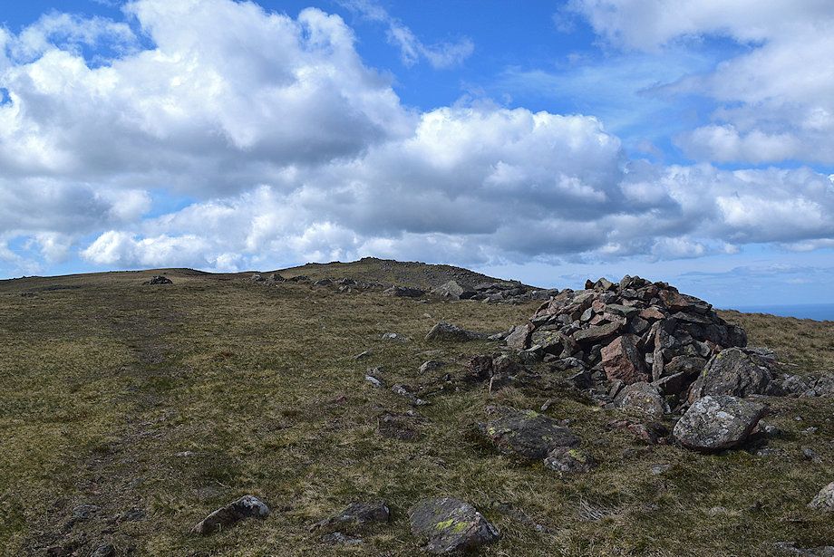 |
| The summit of Illgill Head on the left with the wind shelter (east top) in the centre |
 |
| Looking back to Wasdale Head from the cairn |
 |
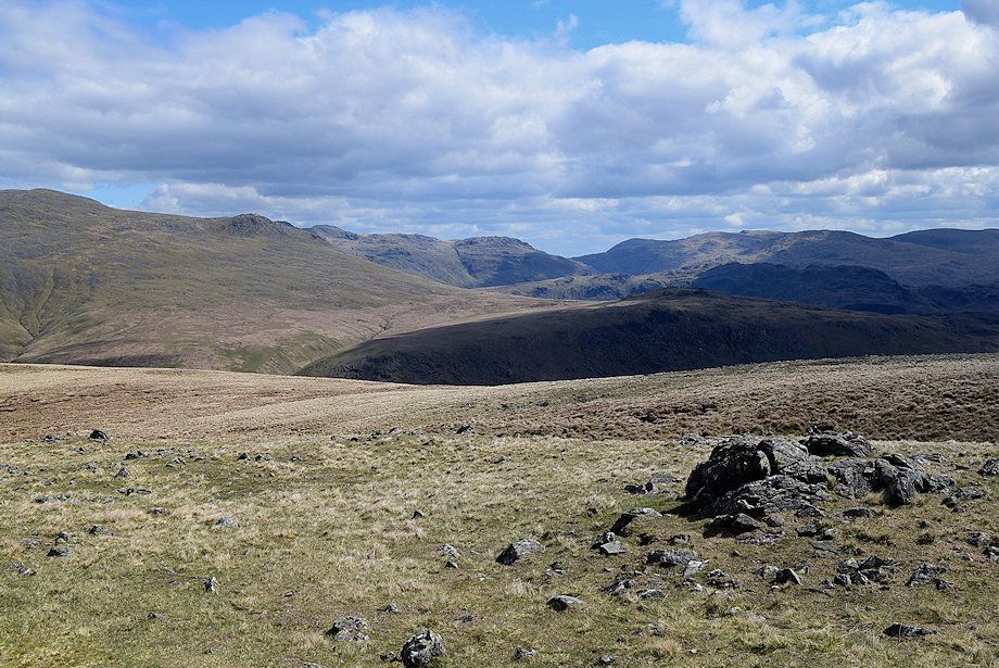
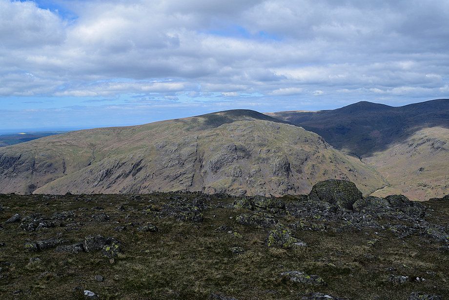
| Harter Fell, Caw and Green Crag |
 |
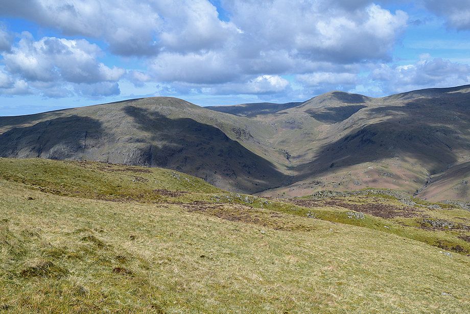
| The Coniston Fells over Great How |
 |
| Approaching the summit of Illgill Head |
 |
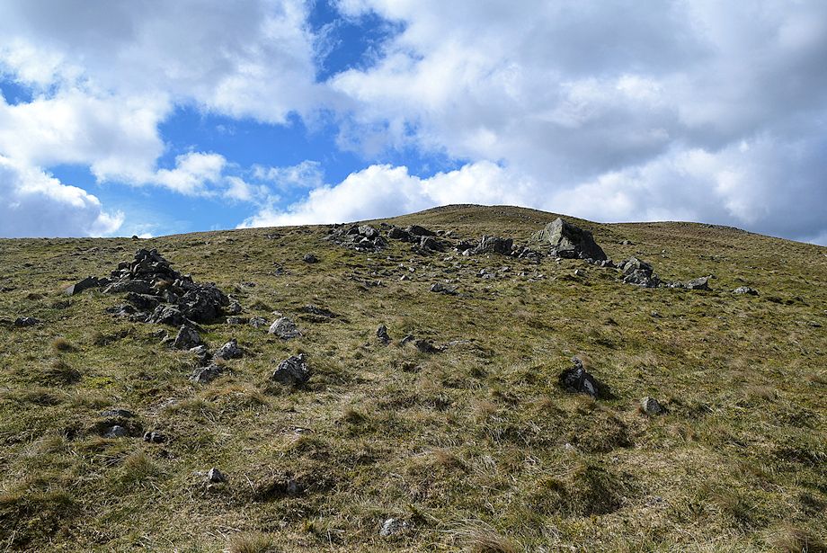
| The summit cairn on Illgill Head which is not quite sited on the highest point |
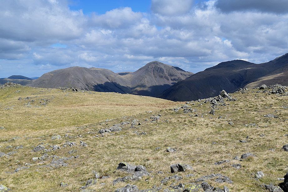 |
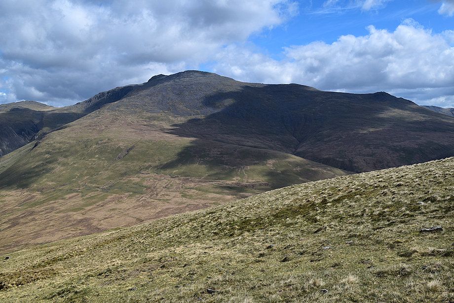
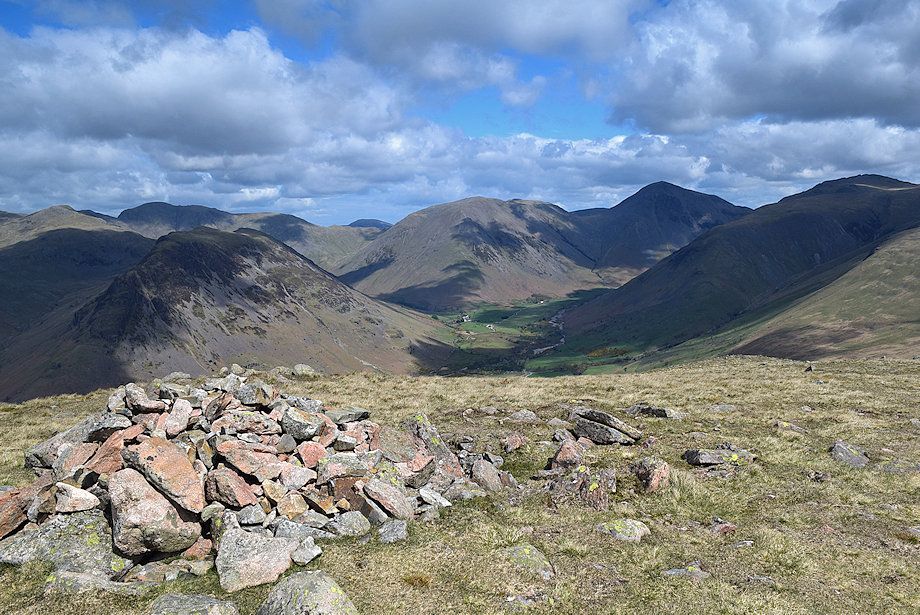
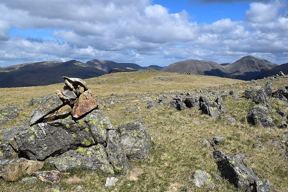
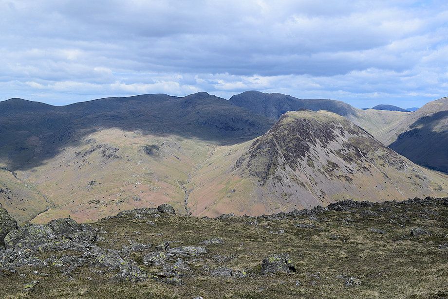
| Kirk Fell, Great Gable and Lingmell from the summit of Illgill Head |
 |
| Scafell from the summit of Illgill Head |
 |
|
Looking south east, Little Stand, Wetherlam, Great Carrs, Swirl How, Brim Fell, Coniston Old Man and Dow Crag form the horizon |
 |
| Harter Fell, Caw and Green Crag |
 |
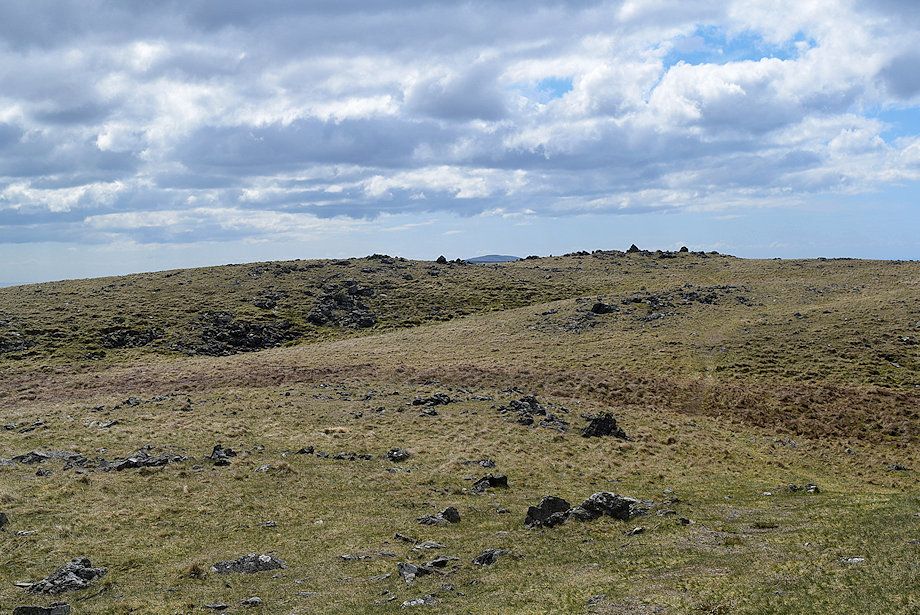
| The west top of Illgill Head |
 |
| Seatallan, Caw Fell, Haycock, Scoat Fell, Red Pike and Pillar from the summit cairn on Illgill Head |
 |
| The Illgill Head's east top and windshelter from the summit cairn |
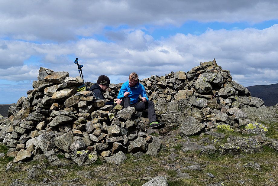 |
| Most walkers are content to regard the east top windshelter as the summit of Illgill Head |
 |
| Slight Side, Crinkle Crags, Wetherlam, Great Carrs, Swirl How, Grey Friar and Brim Fell from the east top windshelter |
 |
| Dow Crag, Walna Scar, Harter Fell, White Maiden, Caw and Green Crag from the east top windshelter |
 |
| The summit of Illgill Head from the east top windshelter |
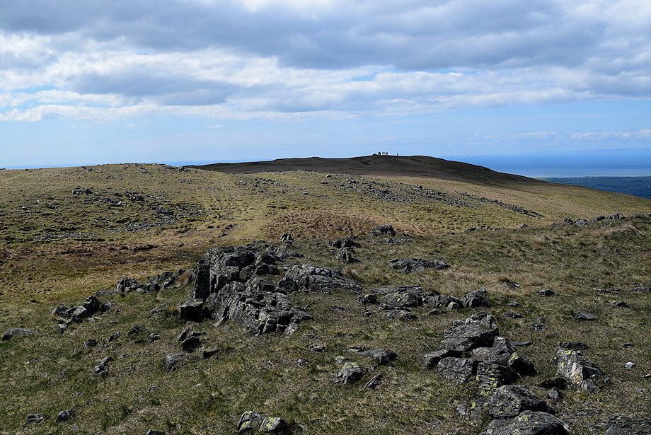 |
| Walkers gather at the west top cairn which AW regarded as the true summit in his guide |
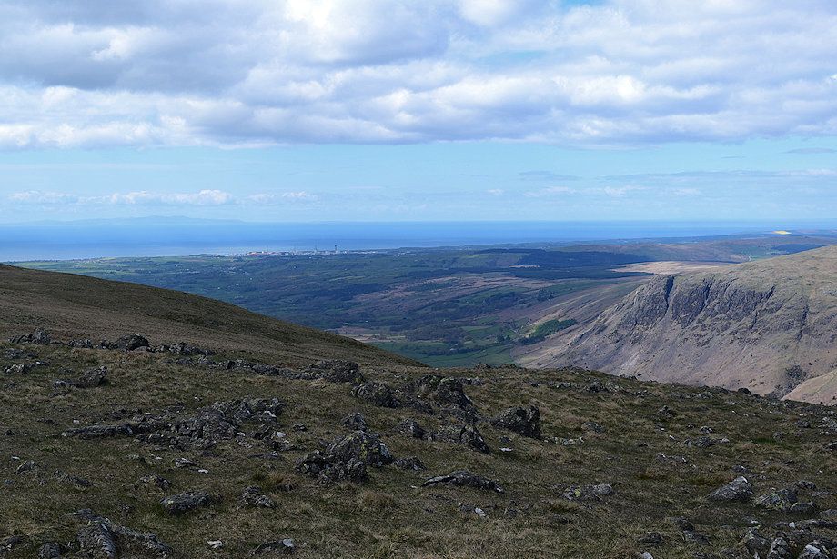 |
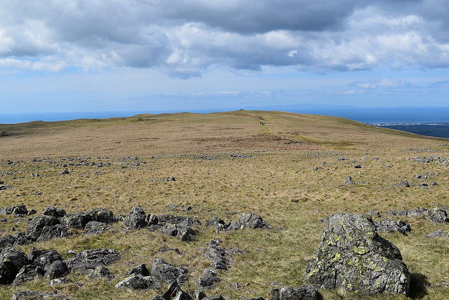
| The West Cumbrian coast and the Isle of Man on the left horizon from the east top wind shelter |
 |
| Middle Fell, Seatallan, Caw Fell, Haycock and Great Scoat Fell from the east top windshelter |
 |
| Haycock, Scoat Fell, Red Pike, Yewbarrow with Robinson and Skiddaw appearing over Black Sail Pass on the right from the east top windshelter |
 |
| Kirk Fell, Brandreth, Great Gable and Lingmell from the east top windshelter |
 |
| Scafell from the east top windshelter |
 |
| Wast Water comes into view after walking about 50 yards north west from the windshelter towards the edge of the escarpment |
 |
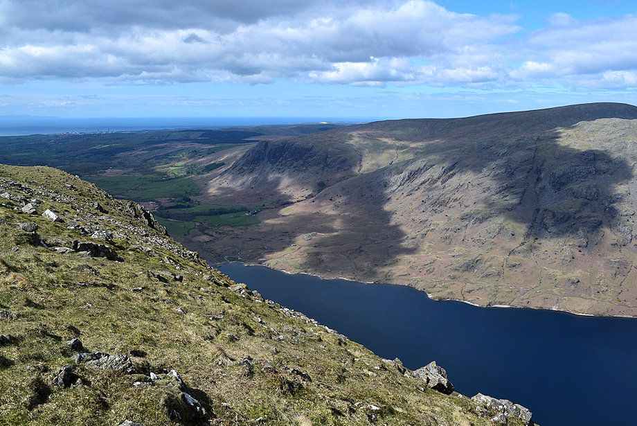
| The middle reaches of Wast Water from the edge of the escarpment |
 |
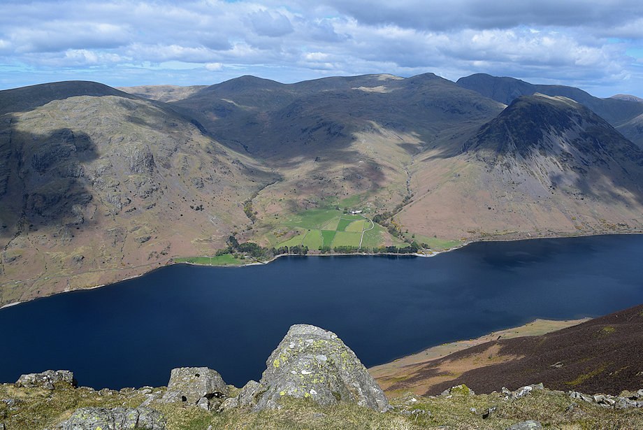
| The head of Wast Water from the edge of the escarpment |
|