 |
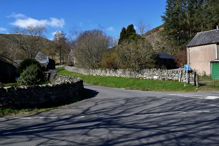
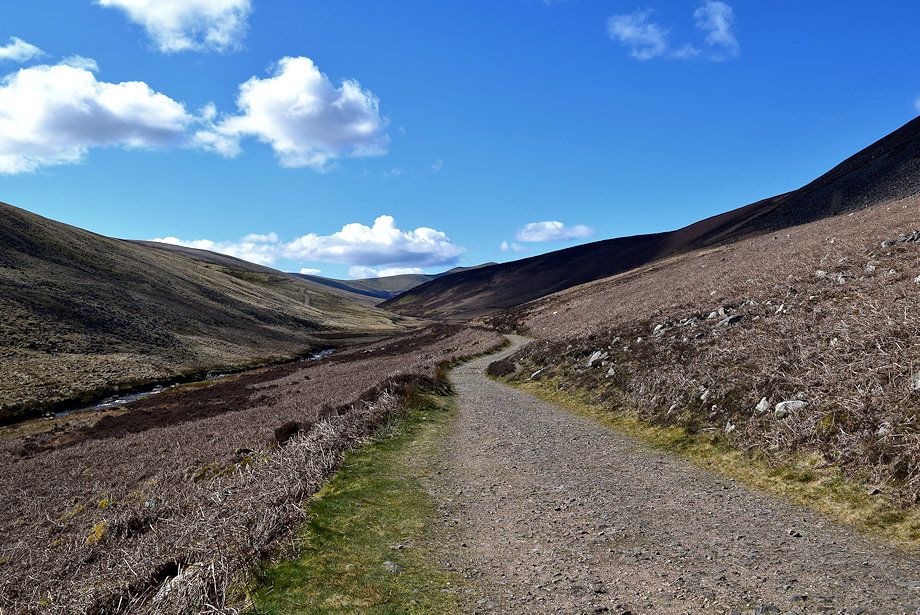
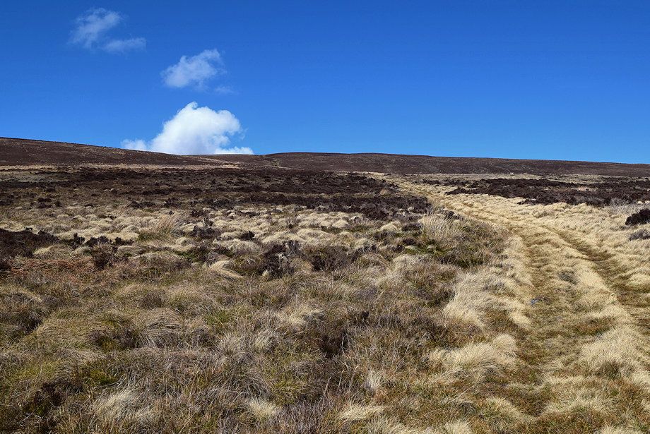
| The route starts from the small hamlet of Mosedale. There is room to park a few cars to the south of the bridge over the River Caldew, a short walk from there leads onto a minor road which is signposted for Swineside |
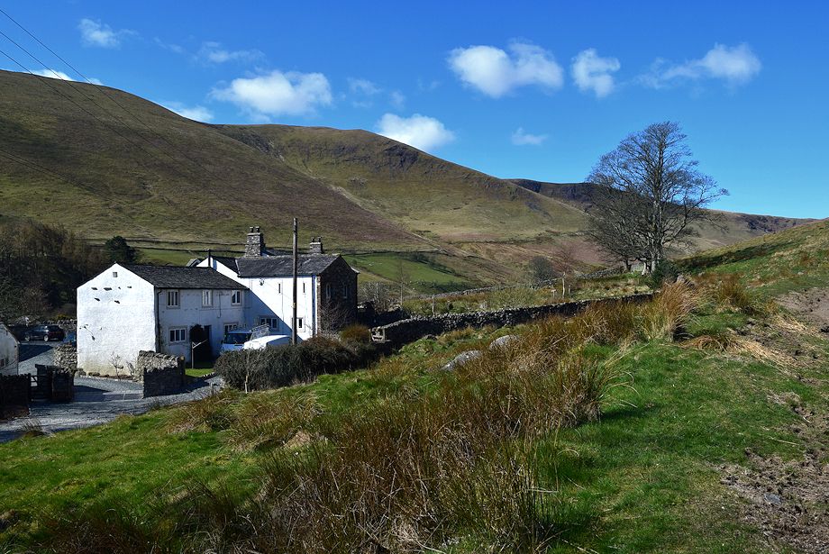 |
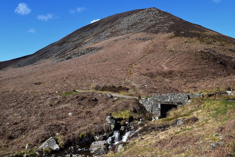
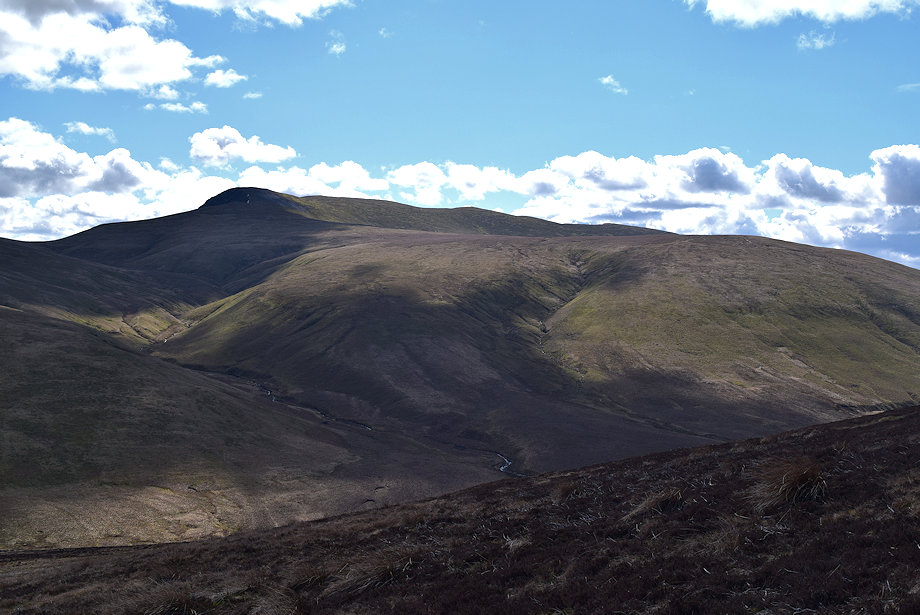
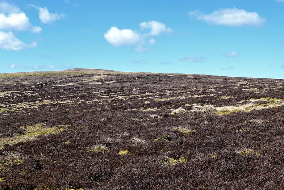
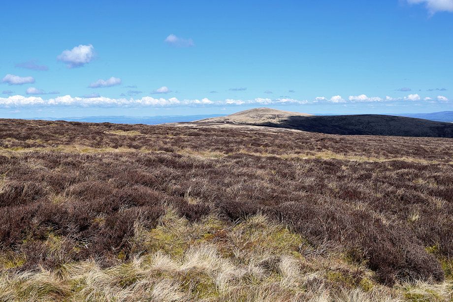
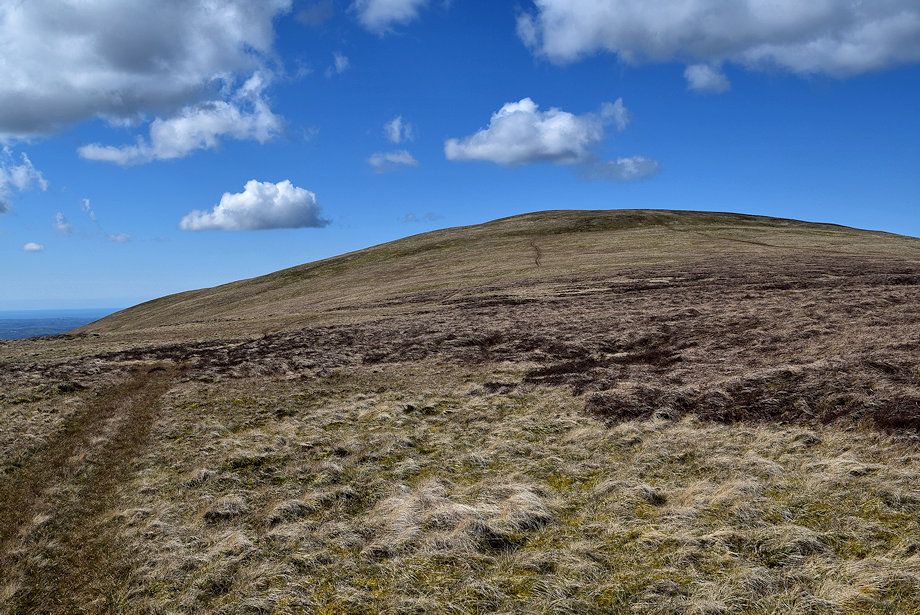
| Bowscale Fell from Brantrigg Farm |
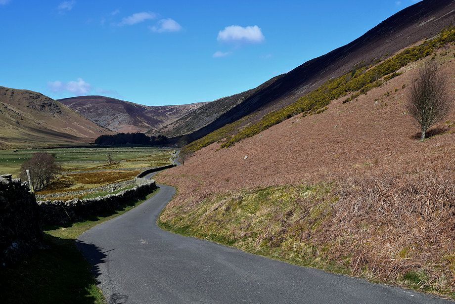 |
| The minor road along the Caldew Valley, there are also some parking places halfway along the valley and near Grainsgill Bridge where the road ends |
 |
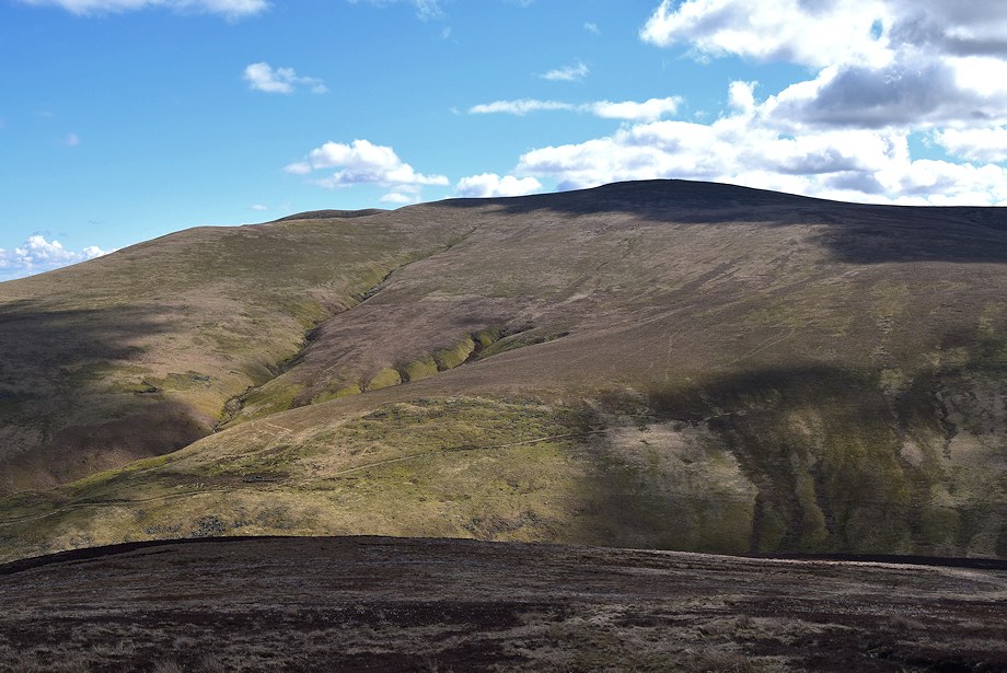
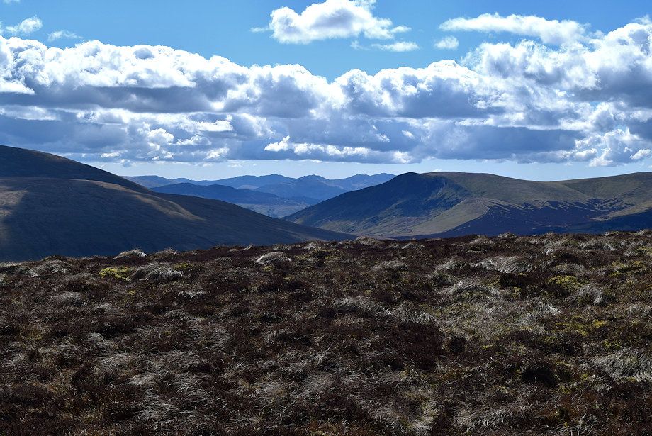
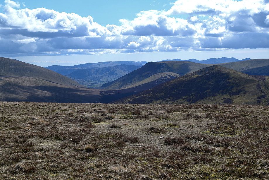
| Bowscale Fell from Swineside |
 |
| Coomb Height from near Roundhouse |
 |
| Coomb Height from near the end of the road as it climbs up towards Grainsgill Bridge |
 |
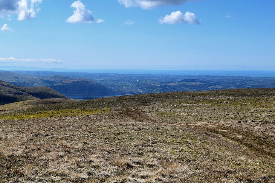
| Looking along the River Caldew to Skiddaw Little Man and Lesser Man |
 |
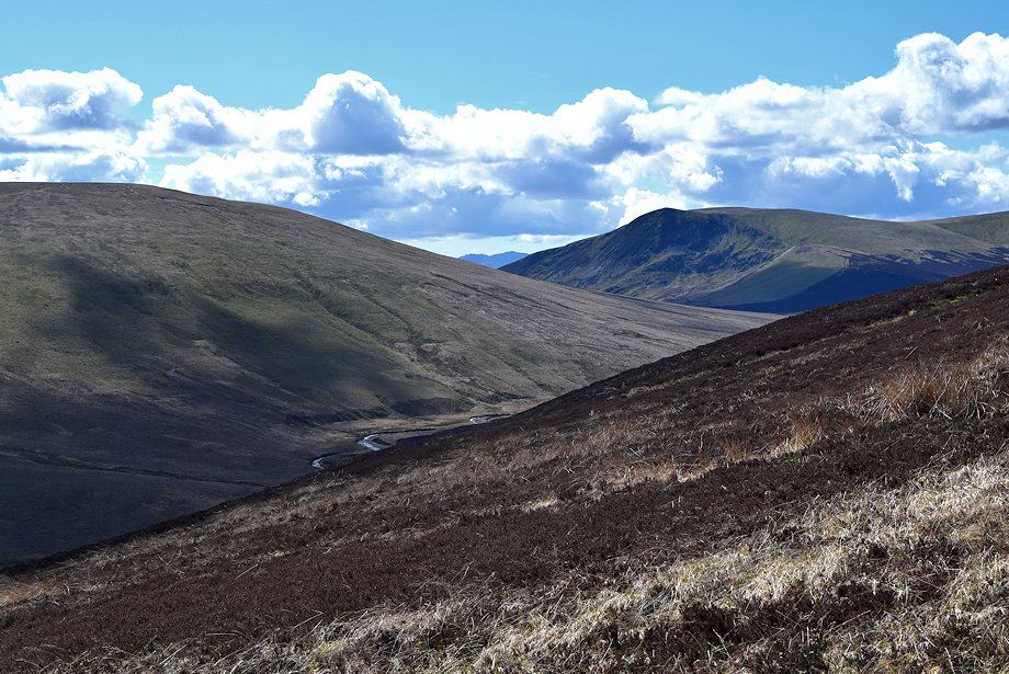
| Looking back along the Caldew Valley from near Grainsgill Bridge |
 |
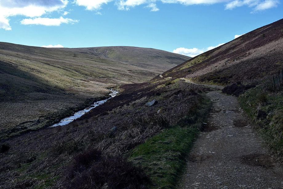
| Passing the old access road to Carrock Mine, the Lingy Hut on Great Lingy Fell can be seen on the skyline at the head of the valley of Grainsgill Beck |
 |
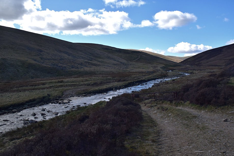
| Grainsgill Bridge |
 |
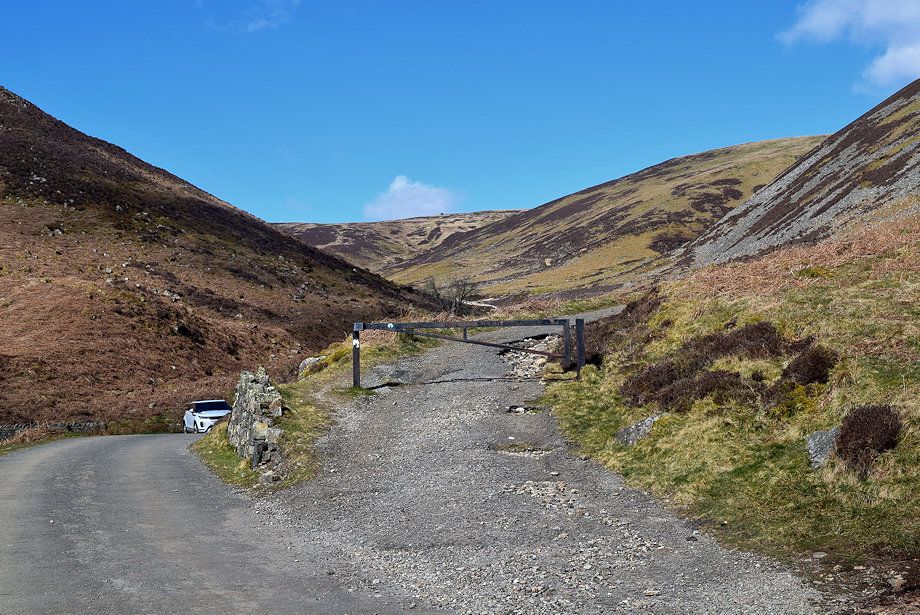
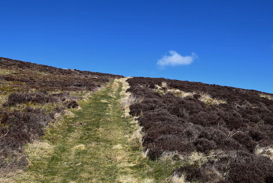
| Cross Grainsgill Bridge and continue along the rough track which is signposted for Skiddaw House |
 |
| Looking back to Carrock Fell |
 |
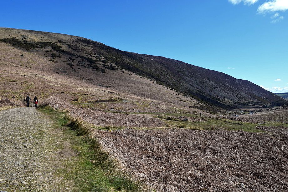
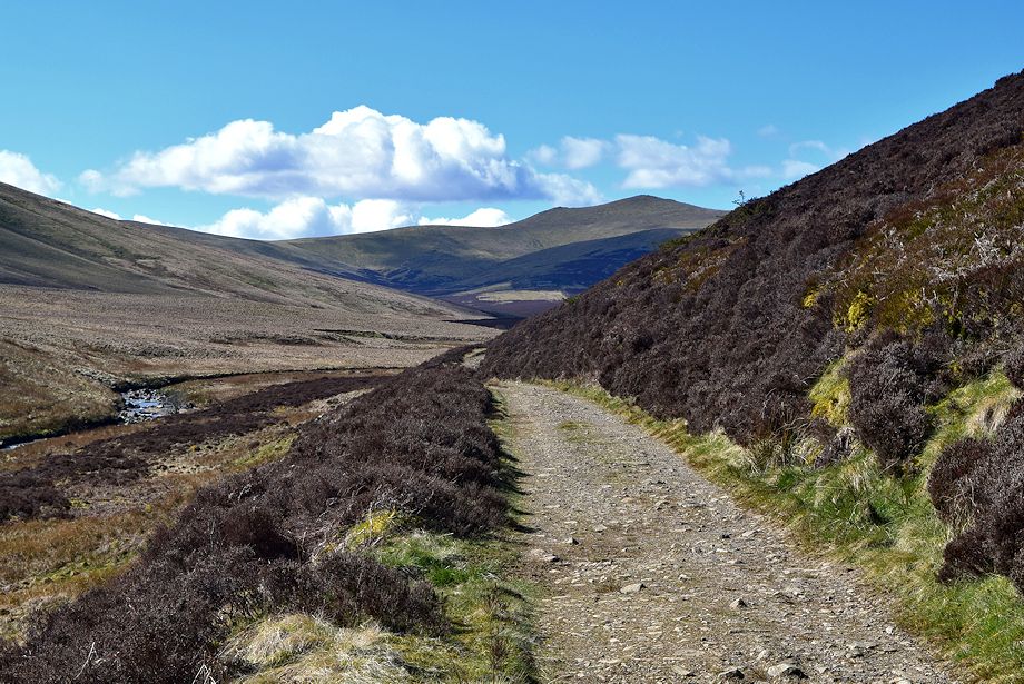
| The track forms part of the Cumbria Way, a long distance path between Ulverston and Carlisle |
 |
| Passing the ford over the River Caldew which is just under a third of a mile from Grainsgill Bridge |
 |
| Looking across Long Gill to the summit of Bowscale Fell |
 |
| Looking back to Carrock Fell |
 |
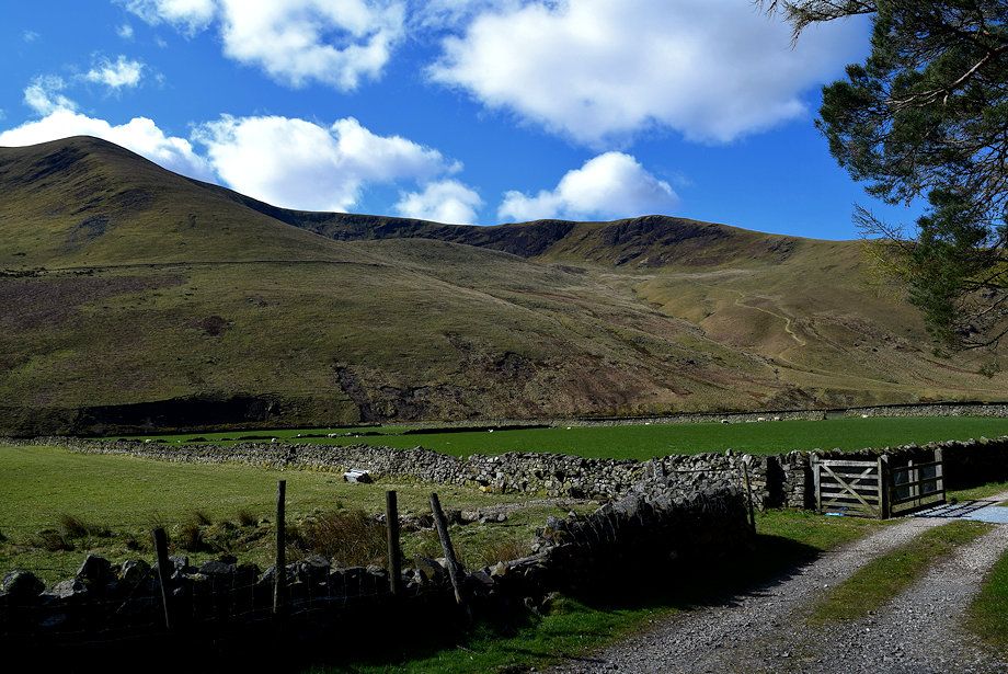
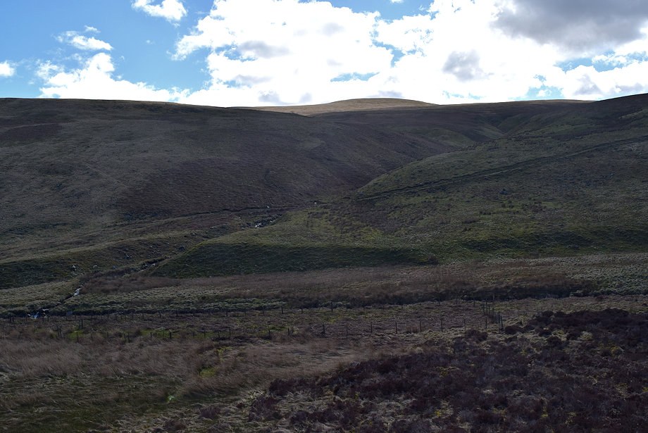
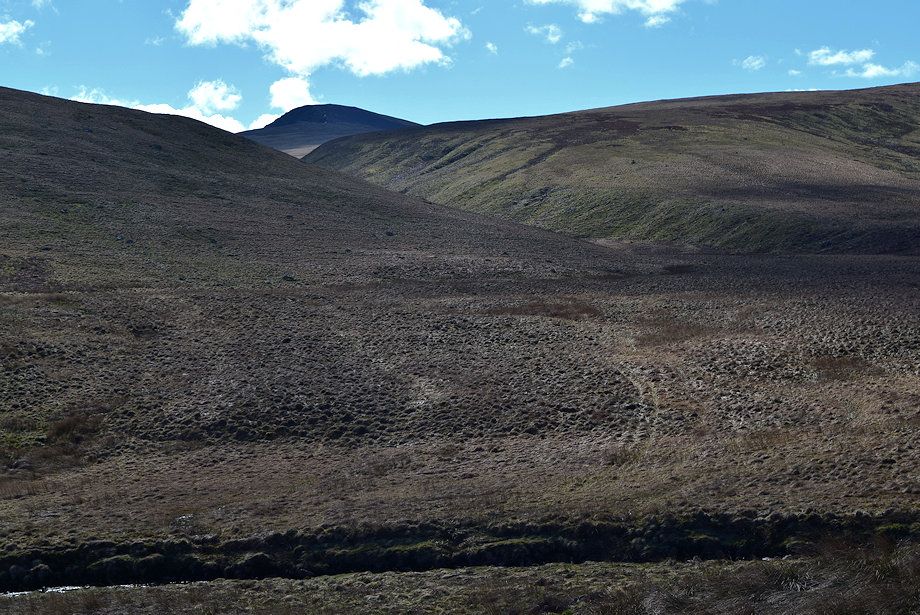
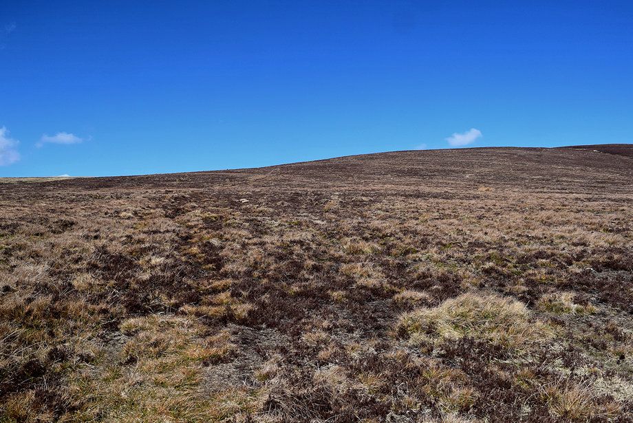
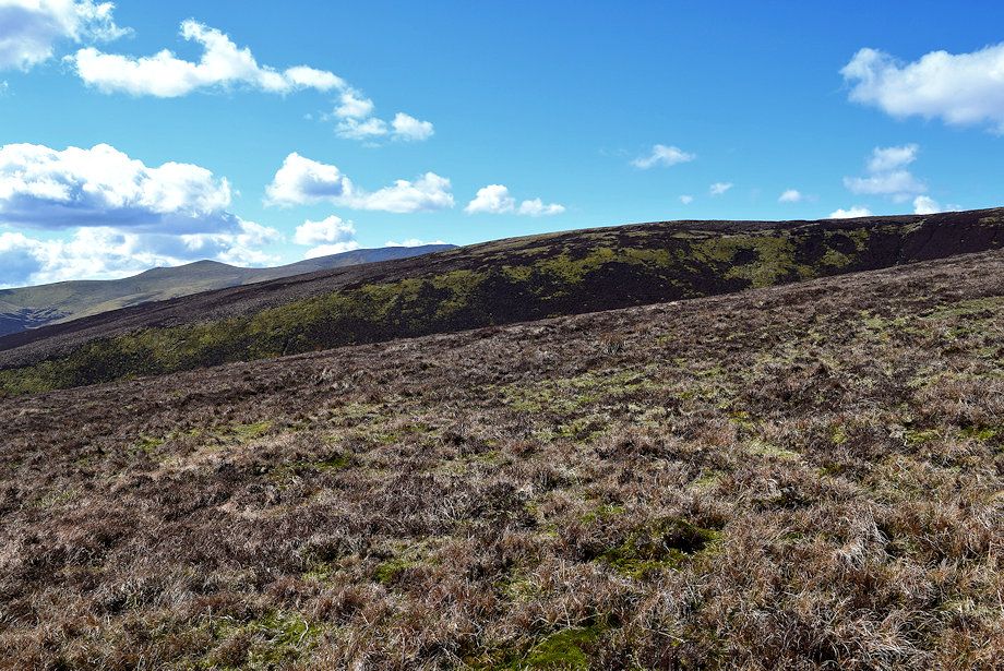
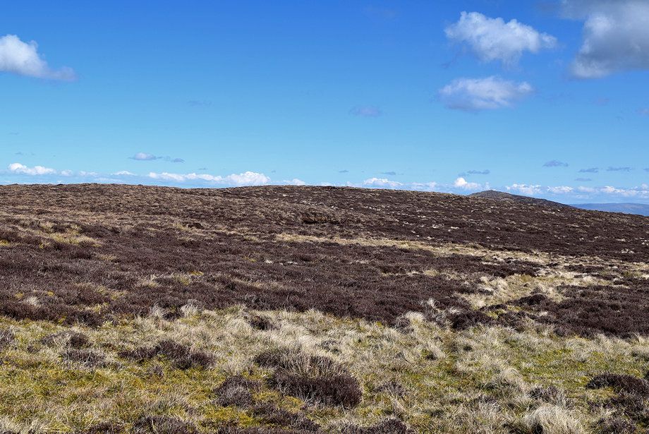
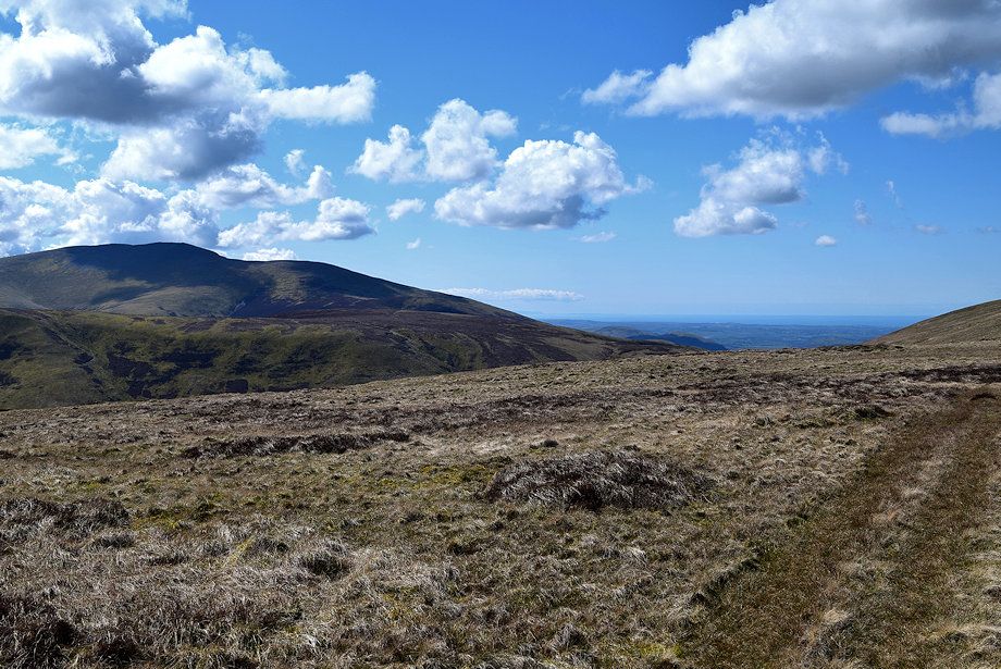
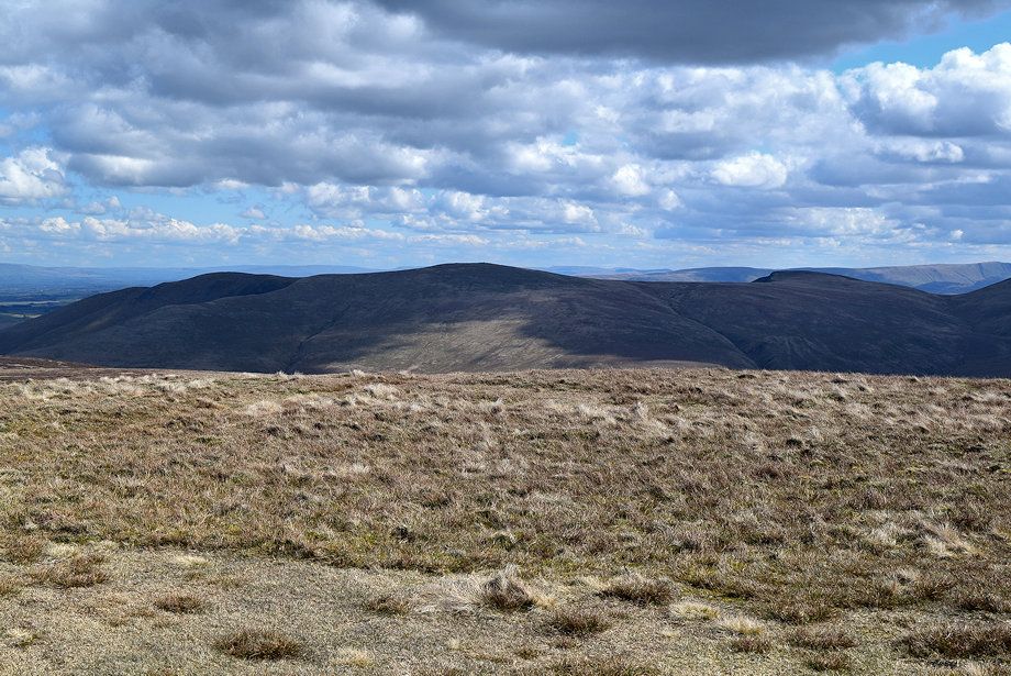
| Mungisdale Common |
 |
| After the track fords Wet Swine Gill, Skiddaw Little Man and Lesser Man come into view |
 |
| Looking across to Atkinson Pike on Blencathra |
 |
| The summit of Skiddaw comes into view across the the lower slopes of Snab |
 |
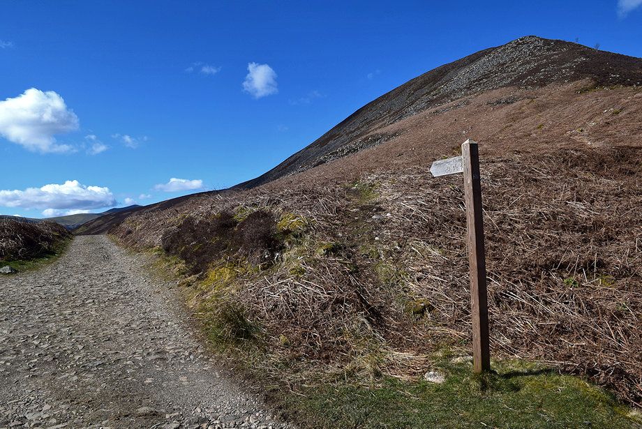
| At the point where the track approaches a ford across Burdell Gill, which is just over a mile from Grainsgill Bridge, it's time to leave it to begin the ascent of Knott .......... |
 |
| .......... turn back sharply onto a shooters' path |
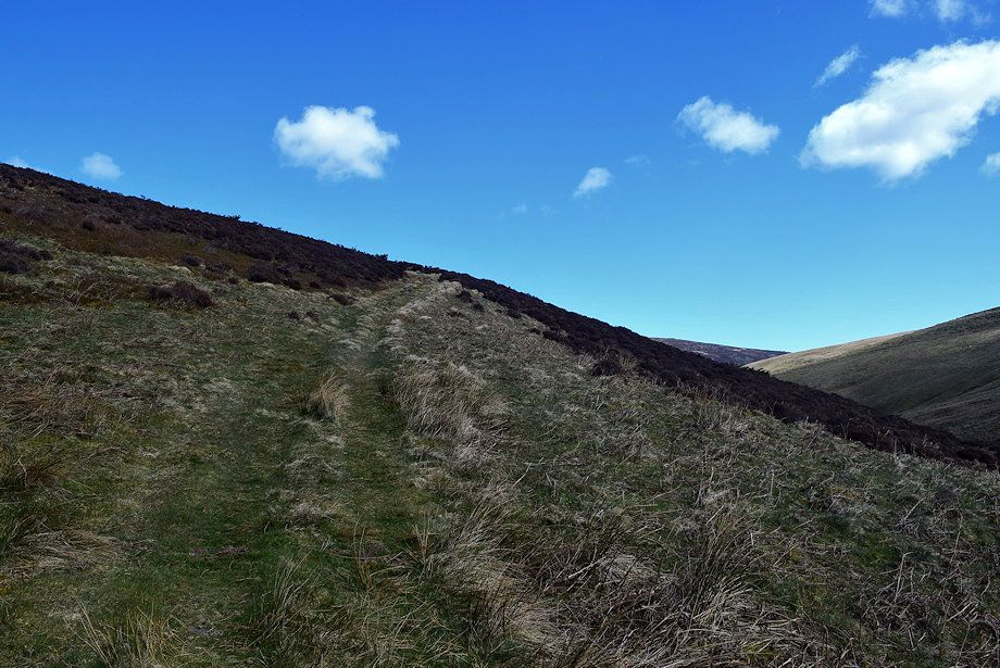 |
| The shooters' path climbs across the steep lower slopes of Cocklakes, the broad ridge between Burdell Gill and Wet Swine Gill |
 |
| Looking back to the ford over Burdell Gill which can be seen on the lower right |
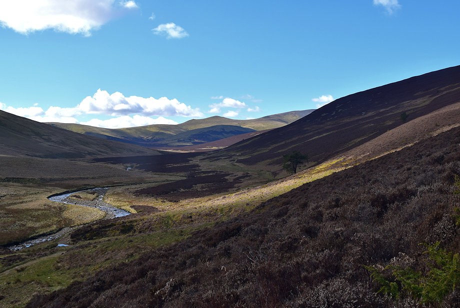 |
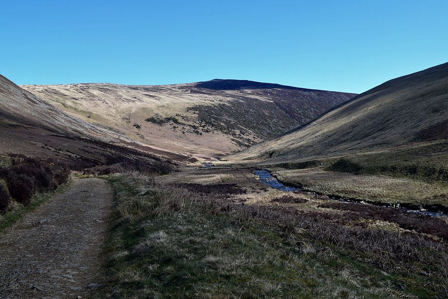
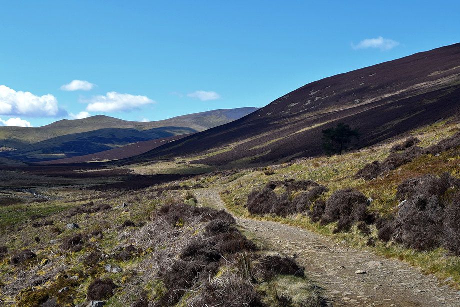
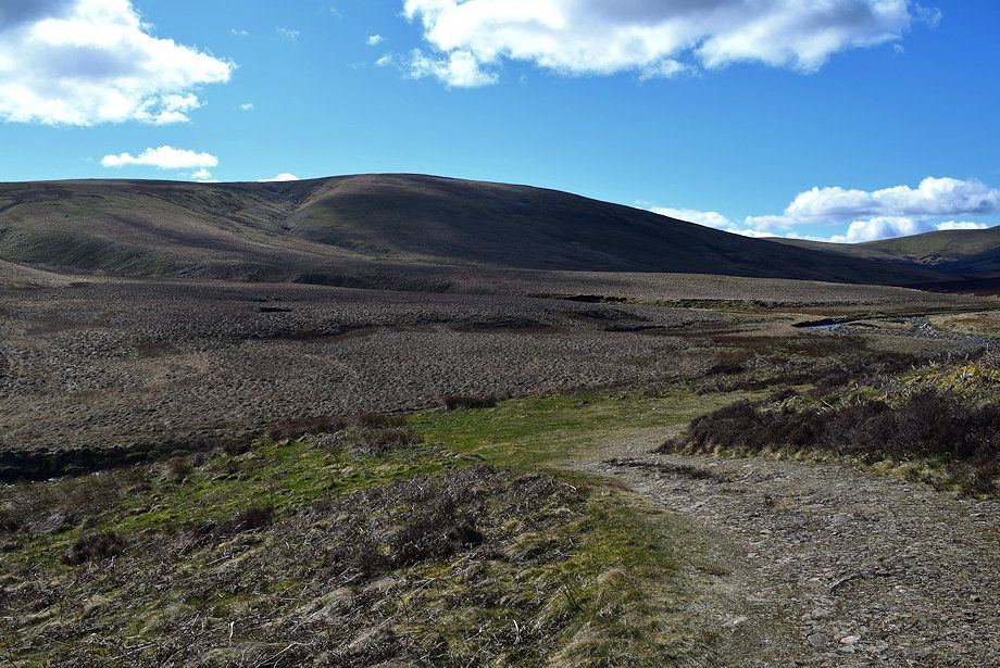
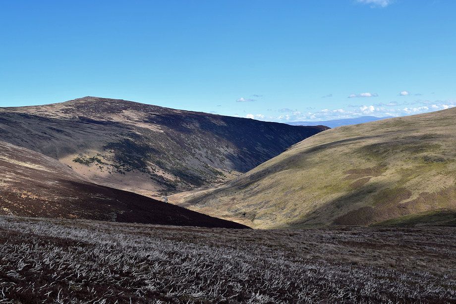
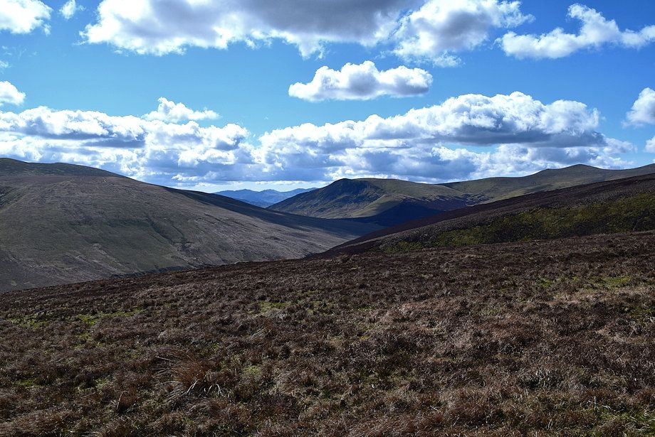
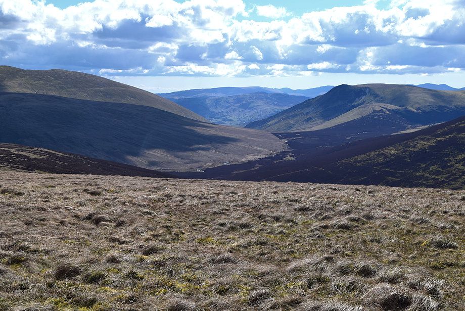
| The upper Caldew Valley |
 |
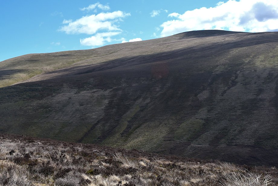
| The climb up the lower slopes of Cocklakes is the steepest part of the whole ascent |
 |
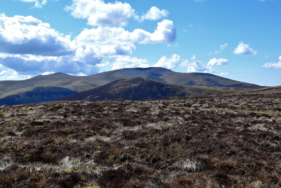
| Looking across to the the summit of Bowscale Fell |
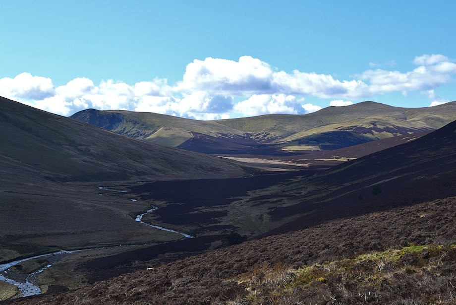 |
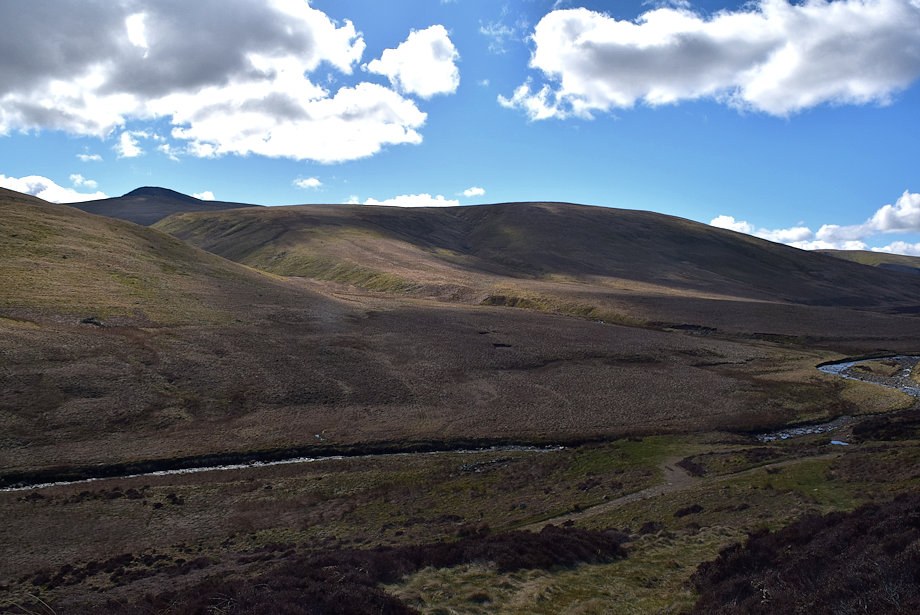
| The upper part of the Caldew Valley from higher on the shooters' path |
 |
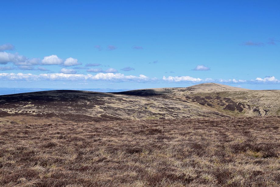
| As the angle of the slope eases slightly the summit ridge of Coomb Height comes into view |
 |
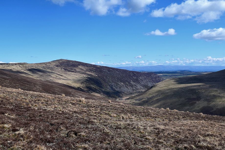
| Looking across towards Carrock Fell |
 |
| The path begins to turn to the west to avoid Wet Swine Gill, higher up ignore a clearer path which crosses this one, it simply contours the slope between Wet Swine Gill and Burdell Gill |
 |
| Crinkle Crags and Bowfell appear in the distance between the slopes of Mungrisdale Common and Lonscale Fell |
 |
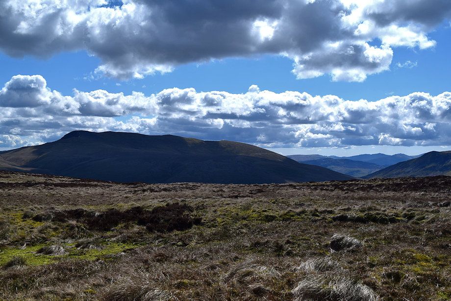
| Looking back to Blencathra and .......... |
 |
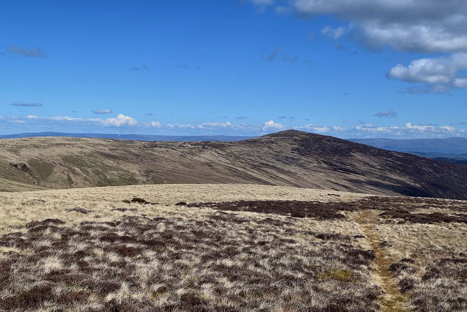
| ..........Bowscale Fell |
 |
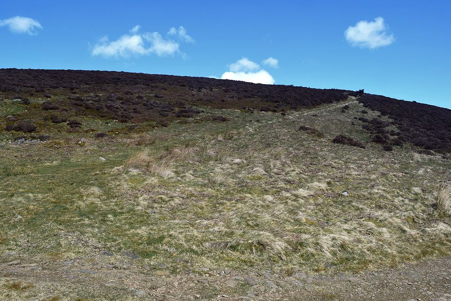
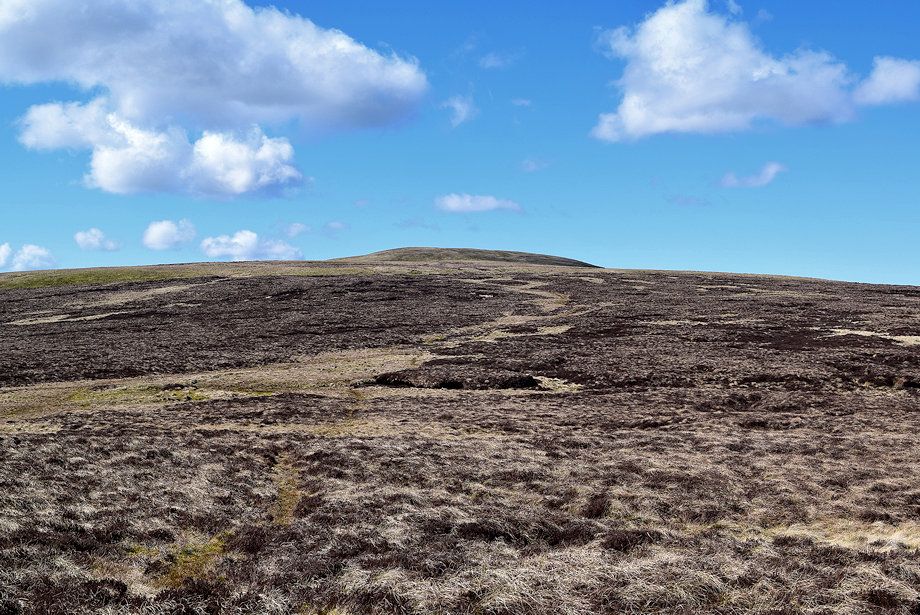
| The shooters' path begins to fade on the upper slopes of Cocklakes |
 |
| Scafell Pike is now visible in the far distance alongside Esk Pike, Bowfell and Crinkle Crags |
 |
| The summits of Skiddaw Little Man and Skiddaw over the adjacent ridge of Pike |
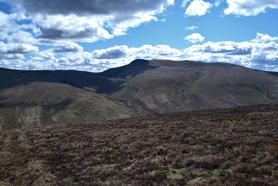 |
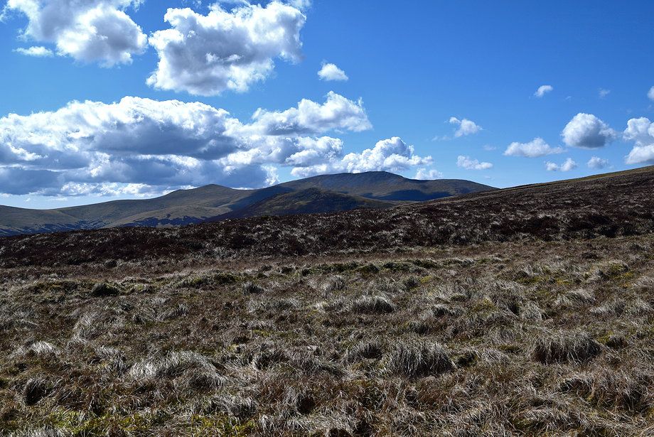
| Blencathra over Mungrisdale Common |
 |
| Carrock Fell and the distant Pennines |
 |
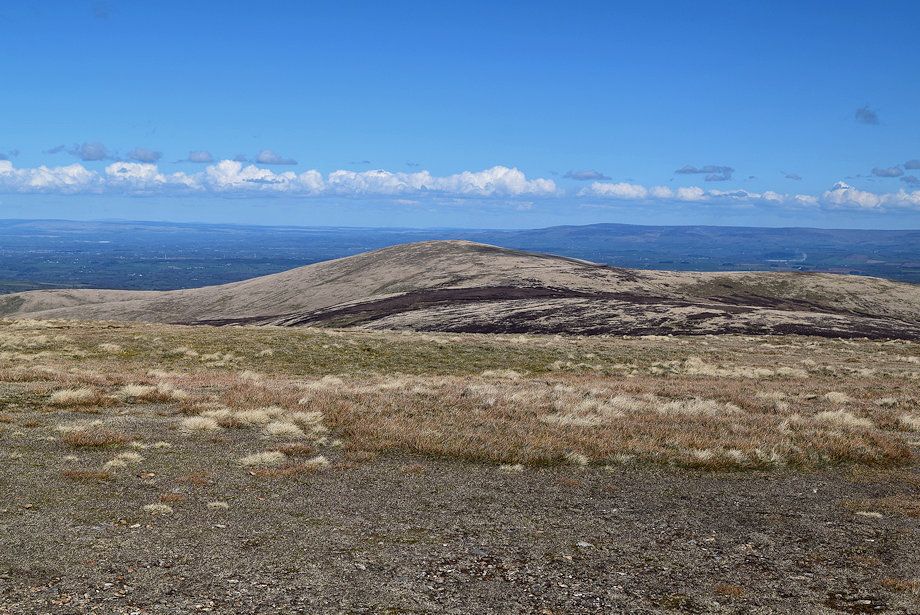
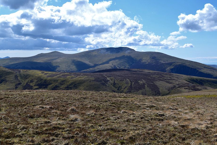
| Skiddaw above Great Calva |
 |
| The summit of Knott comes into view on the left as the path approaches the ridgeline while........... |
 |
| ..........the summit of Coomb Height appears to the right |
 |
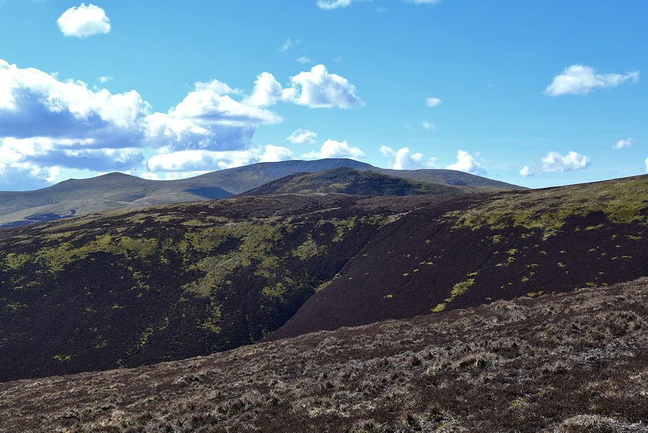
| On reaching the ridgeline Great Lingy Fell and High Pike come into view |
 |
| Approaching the summit of Coomb Height |
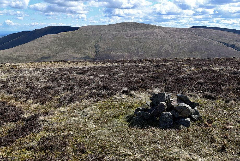 |
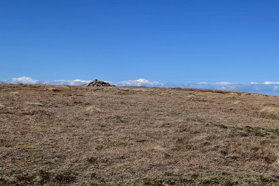
| The summit cairn on Coomb Height |
 |
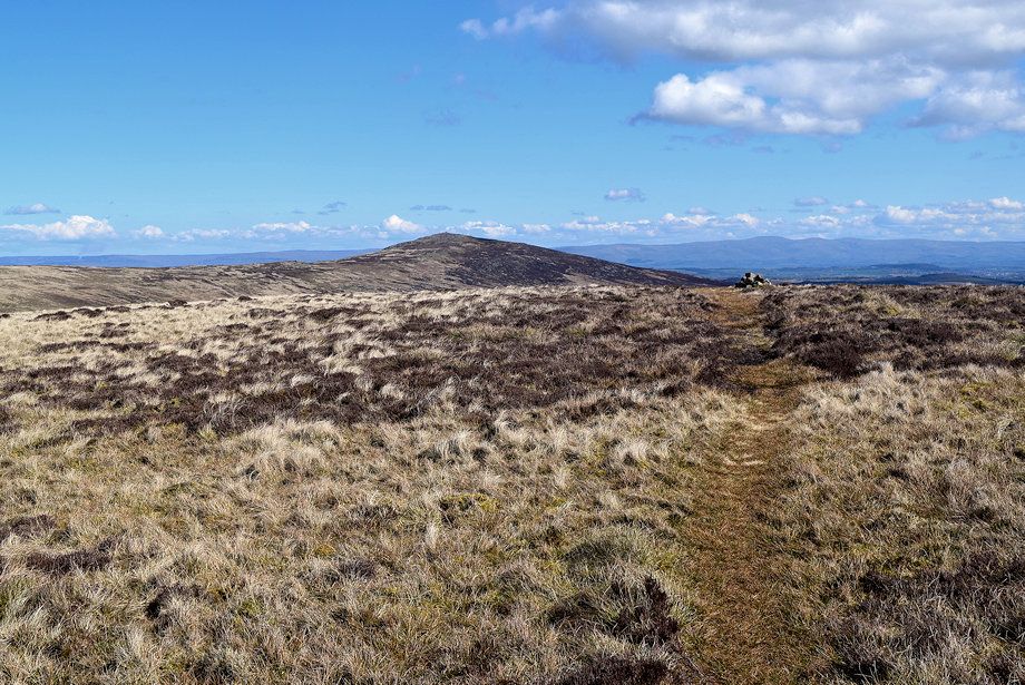
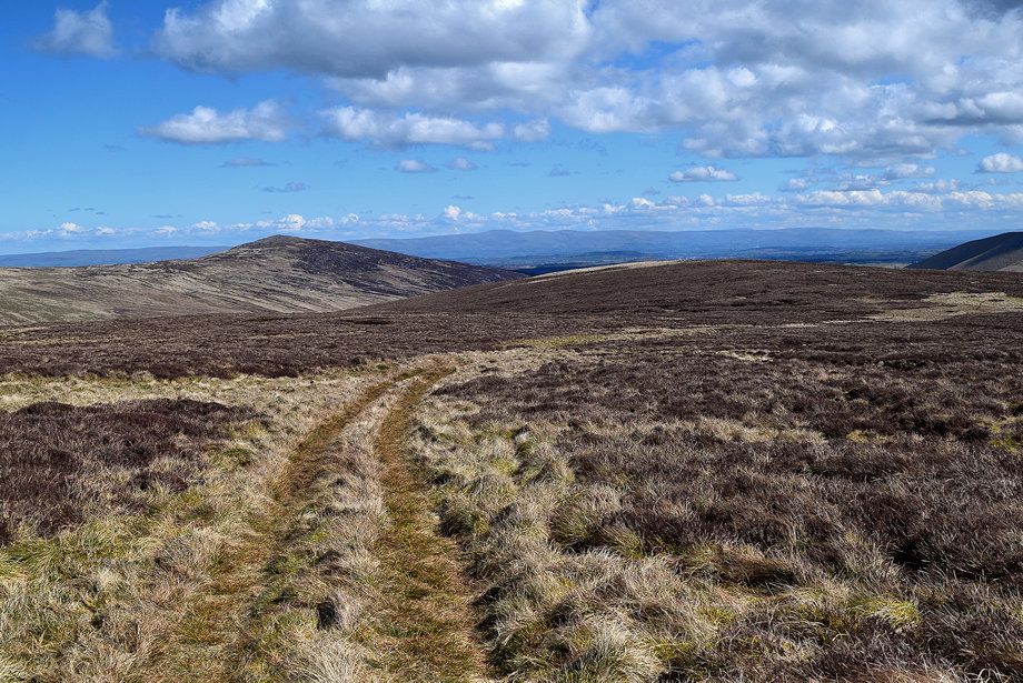
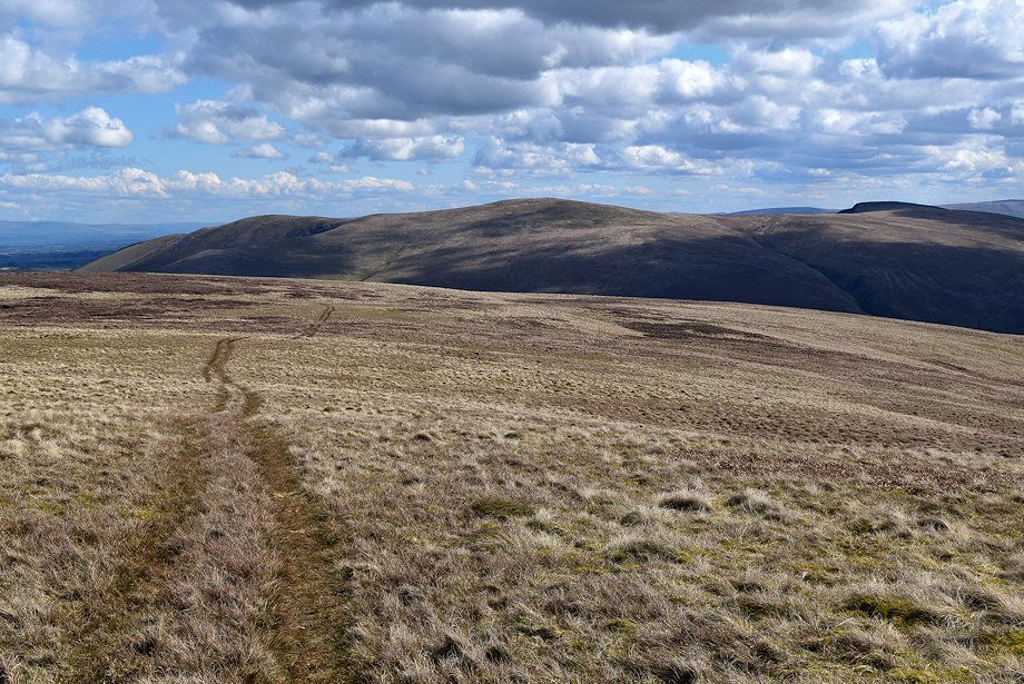
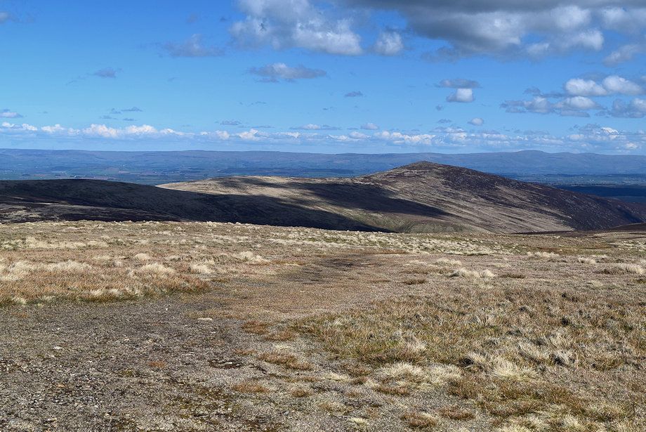
| The summit of Knott from Coomb Height |
 |
| Carrock Fell from the summit of Coomb Height |
 |
| Blencathra from the summit of Coomb Height |
 |
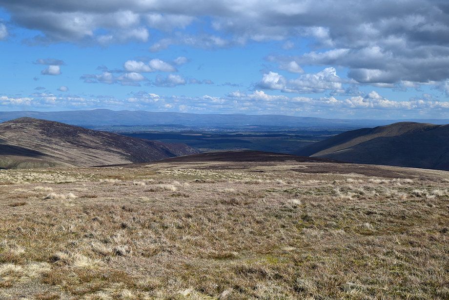
| Lonscale Fell with Scafell Pike, Esk Pike, Bowfell and Crinkle Crag to the left of it |
 |
| Skiddaw over Great Calva from the summit of Coomb Height |
 |
| Continuing on along the ridge towards Knott the path descends to a shallow col before climbing again over the gentle slope of Rigg |
 |
| Blencathra from the shallow col |
 |
| High Pike from the col |
 |
| Skiddaw above Great Calva from the slopes of Rigg |
 |
| Looking back to Coomb Height from the path below Rigg |
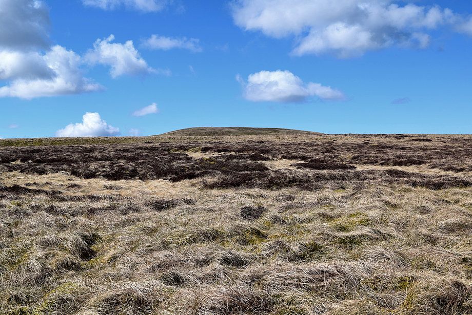 |
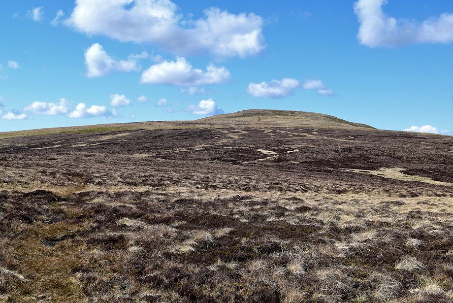
| The summit of Knott above Rigg |
 |
| The final slope leading up to the summit of Knott from Rigg |
 |
| Skiddaw and the West Cumbria coast from Rigg |
 |
| The Glenderaterra col |
 |
| Looking back to Bowscale Fell from the climb to the summit of Knott |
 |
| Approaching the summit of Knott |
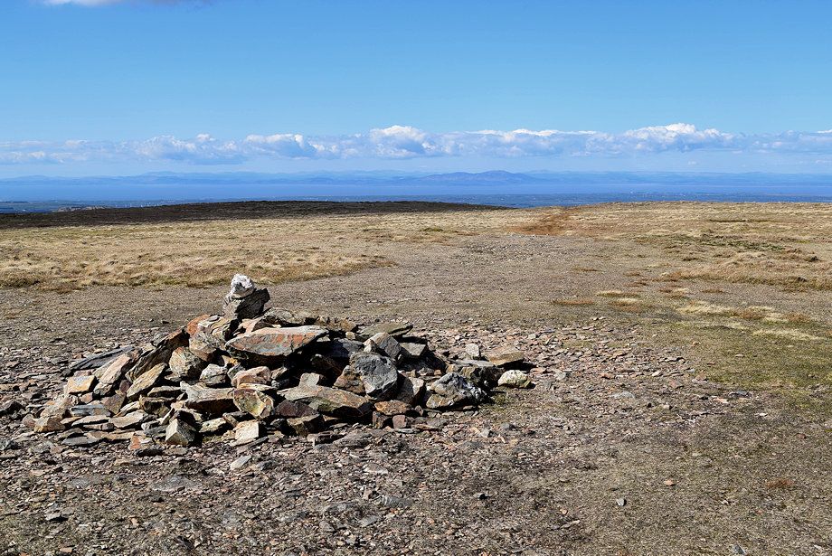 |
| The summit cairn on Knott |
 |
| A small section of Bassenthwaite Lake can be seen from the summit |
 |
| Criffel across the Solway Firth from the summit of Knott |
 |
| High Pike from the summit of Knott |
 |
| Carrock Fell and the Pennines from the summit of Knott |
 |
| Looking east back to Coomb Height from the summit of Knott |
 |
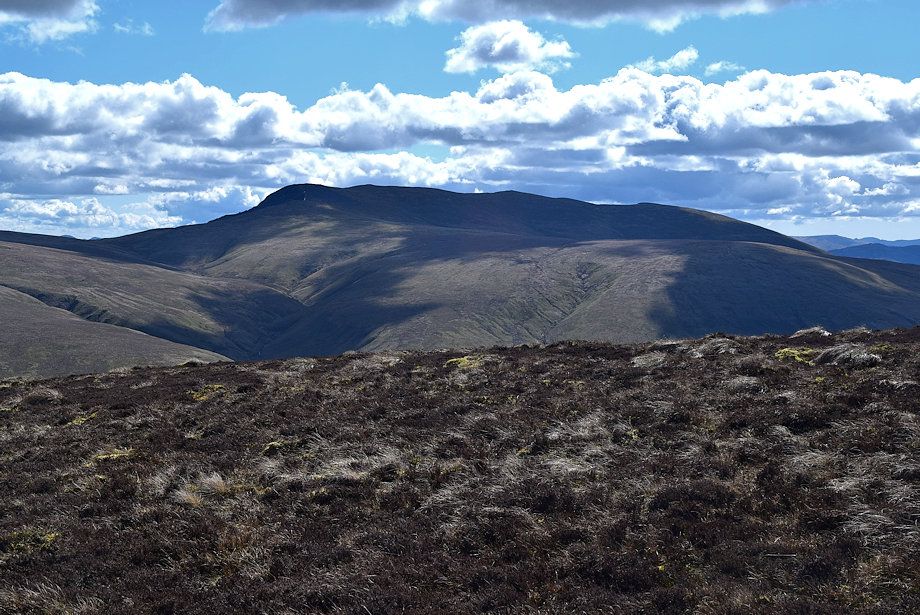
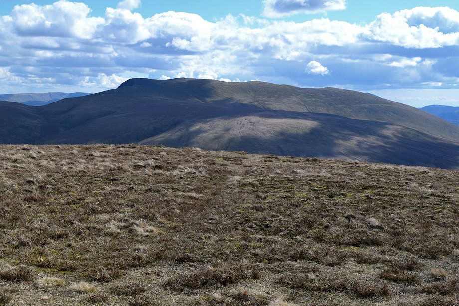
| Bowscale Fell and Bannerdale Crags from the summit of Knott |
 |
| Blencathra from the summit of Knott |
 |
| Steel Fell, Ullscarf, High Raise, Swirl How, Dow Crag, Grey Friar, Crinkle Crags, Bowfell, Esk Pike, Great End, Scafell Pike, Scafell and Great Gable form the distant horizon from the summit of Knott |
 |
| Skiddaw from the summit of Knott |
