 |
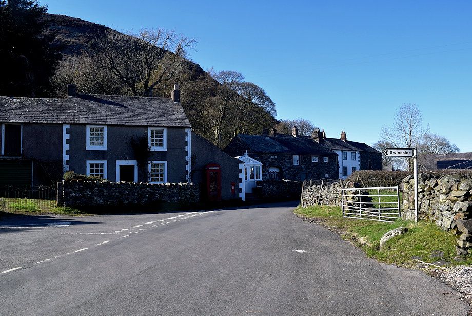
| The route starts from the small hamlet of Mosedale. There is room to park a few cars to the south of the bridge over the River Caldew |
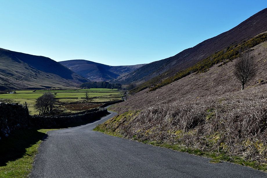 |
| From Mosedale walk along the road in the Caldew Valley |
 |
| There are a few more places to park on the wide verges near the head of the valley |
 |
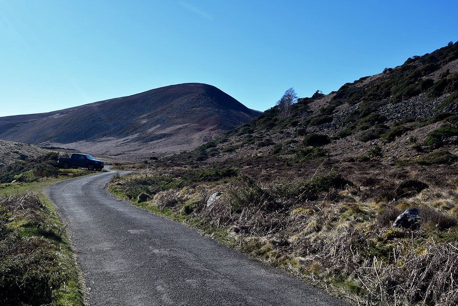
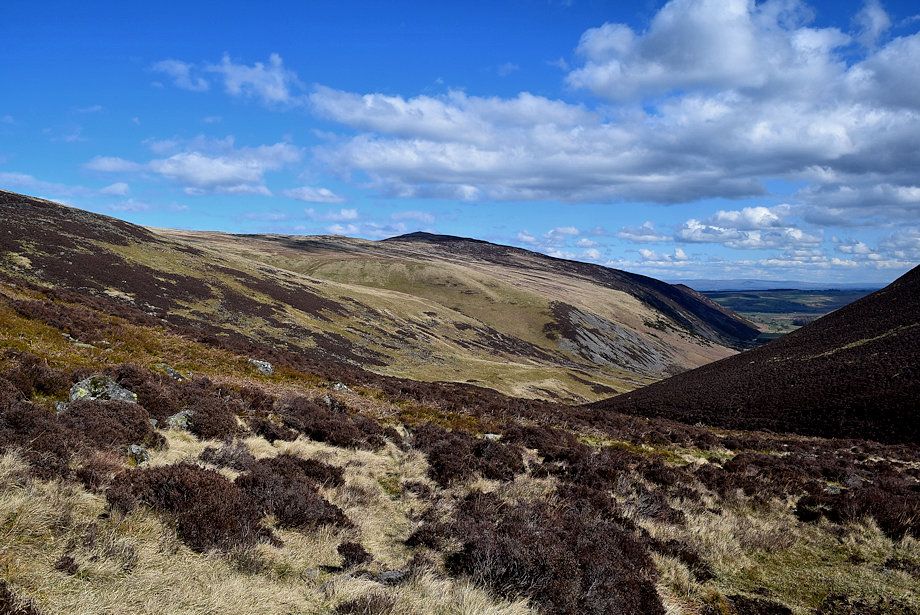
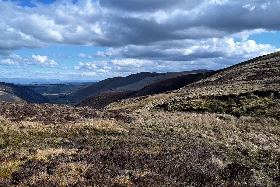
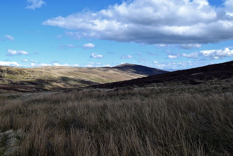
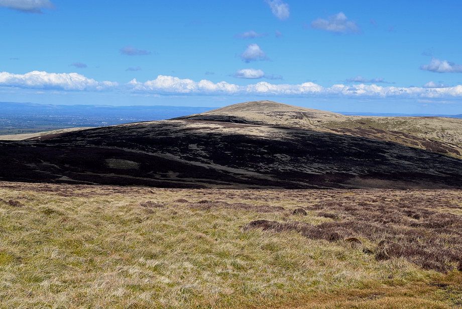
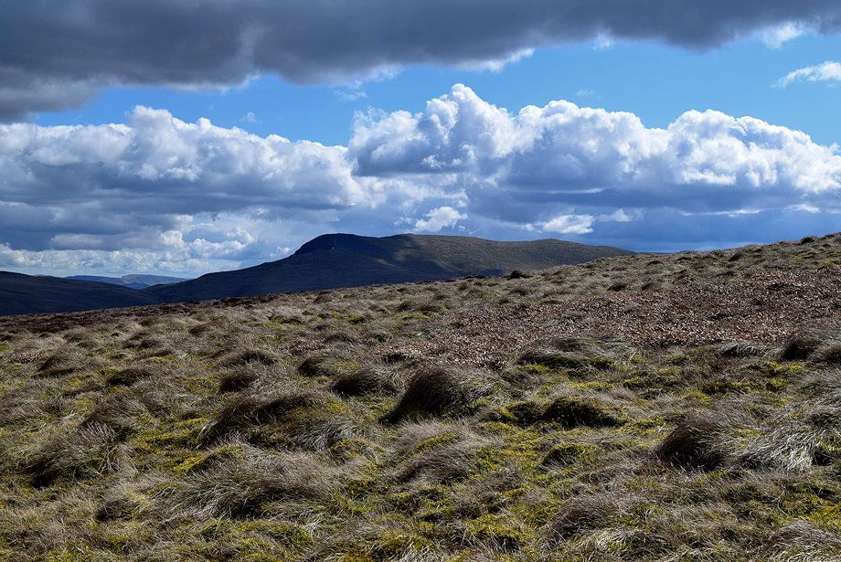
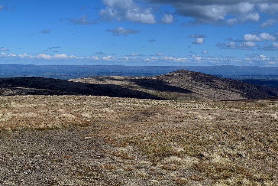
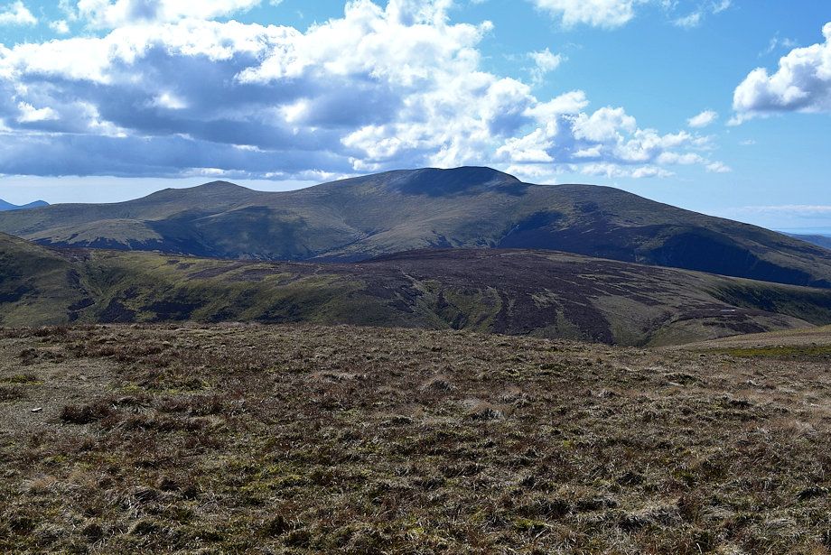
| Coomb Height from near Grainsgill Bridge where the metalled road ends |
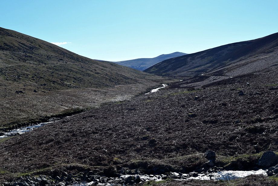 |
| Looking along the River Caldew to Skiddaw Little Man |
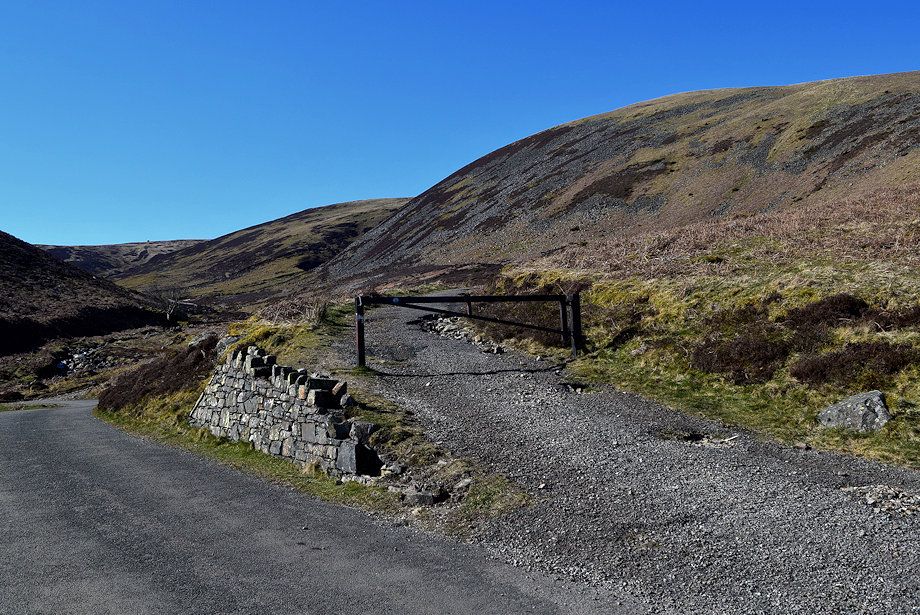 |
| Just before reaching Grainsgill Bridge turn off onto the old mine road which leads into the valley of Grainsgill Beck |
 |
| The old mine road forms part of the Cumbria Way, a long distance path between Ulverston and Carlisle. The road served the extensive workings of Carrock Mine |
 |
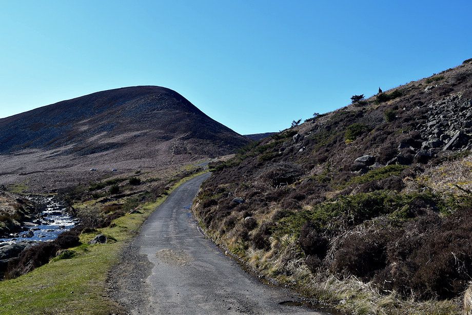
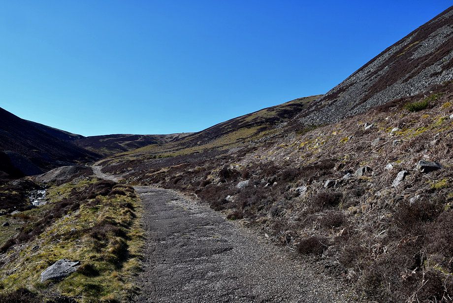
| Looking back along the old mine road |
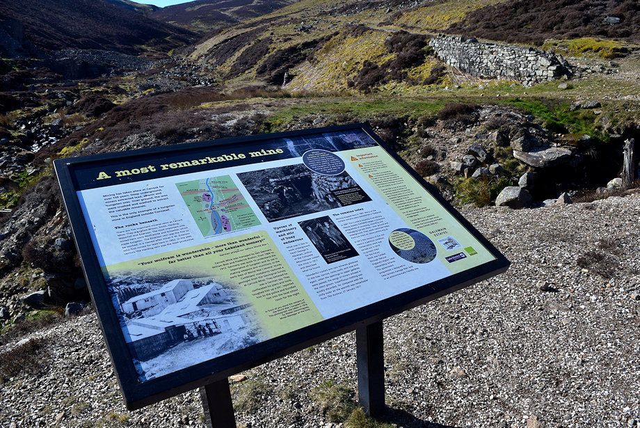 |
| An information board provides a short history of the tungsten mine |
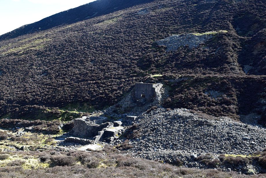 |
| The mine ceased to operate in 1981, in 1988 the mill and other ore processing buildings on the north side of Grainsgill Beck were completely removed, all that remains are the concrete bases of hoppers on the south side of the beck which were constructed in 1913 |
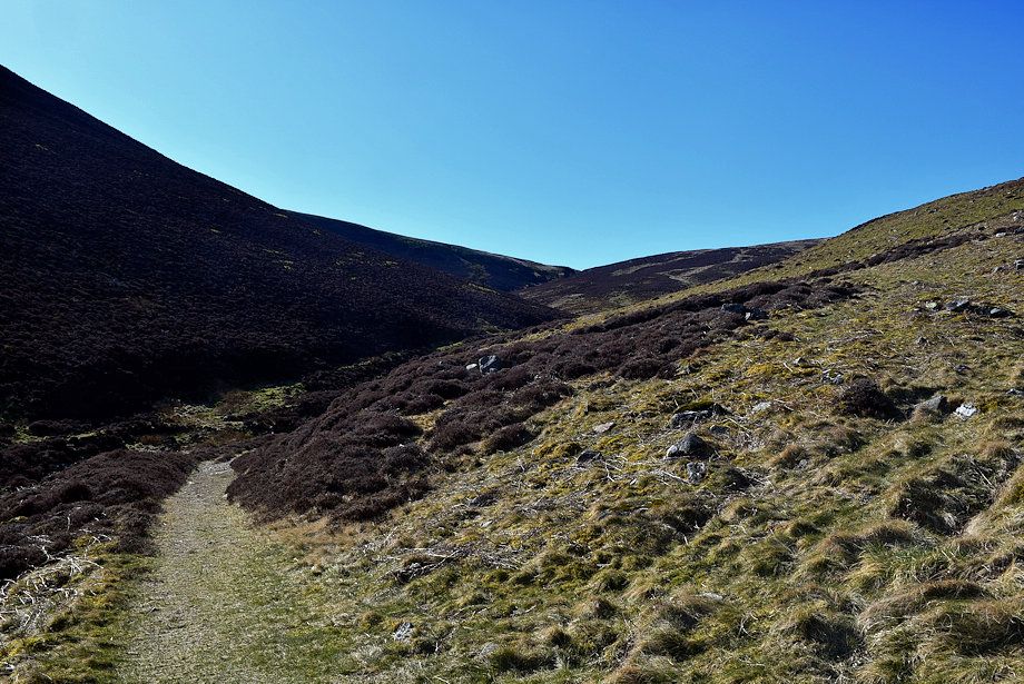 |
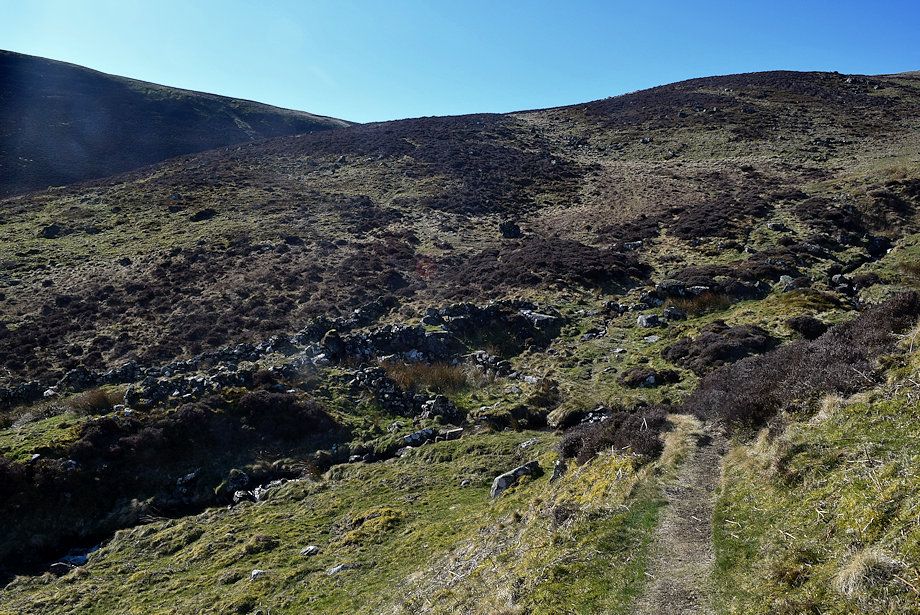
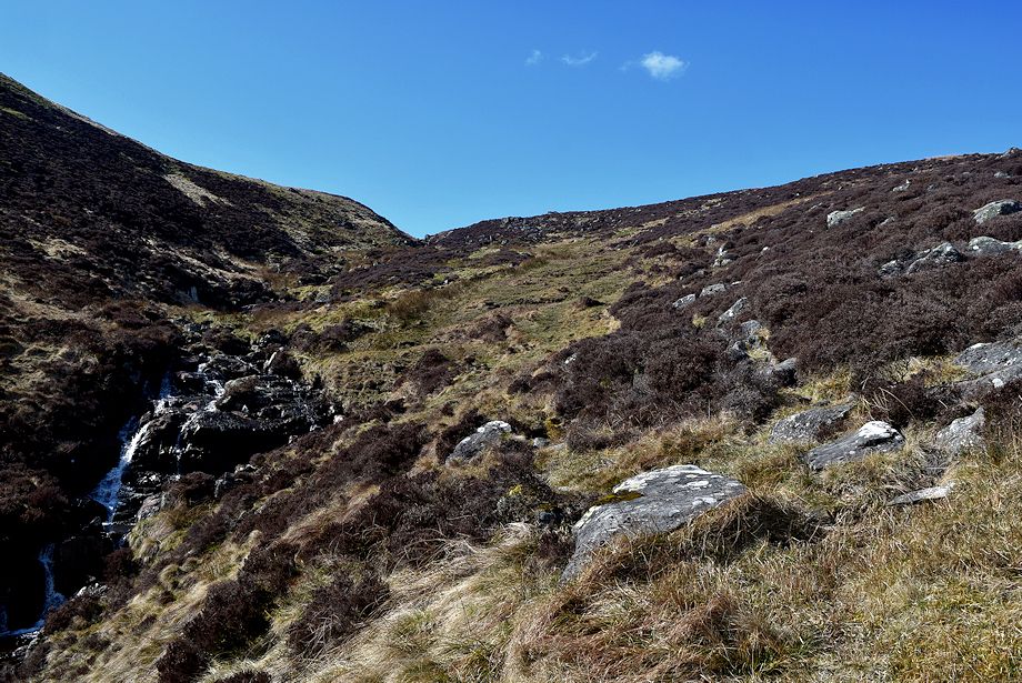
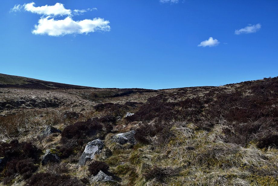
| Beyond the mine the Cumbria Way follows the course of Grainsgill Beck, it's preferable to leave it for a path that traverses the slopes of Drygill Head which provides much better views. The start of the path is quite indistinct but improves as height is gained |
 |
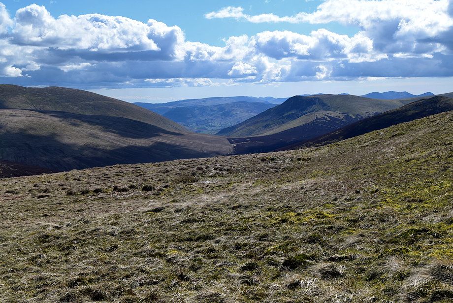
| Looking back to Carrock Fell |
 |
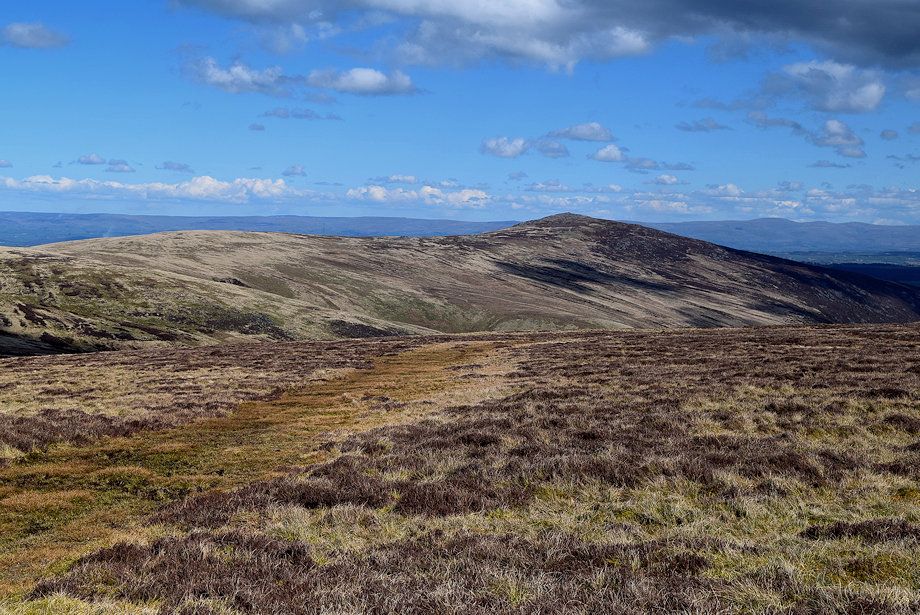
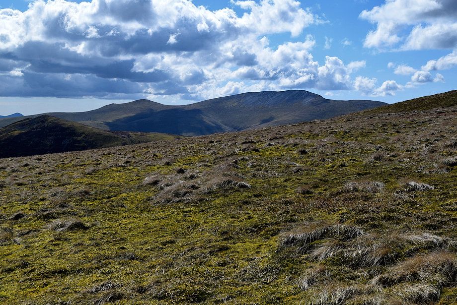
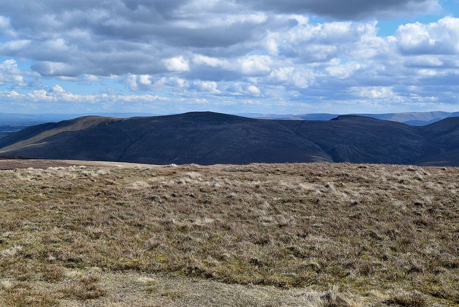
| Bowscale Fell across the slopes of Coomb Height |
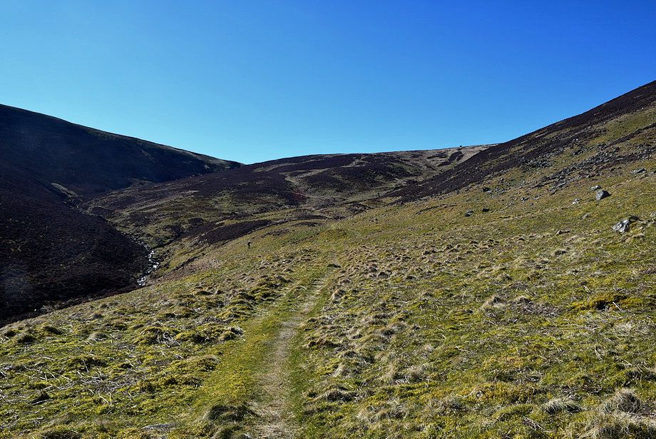 |
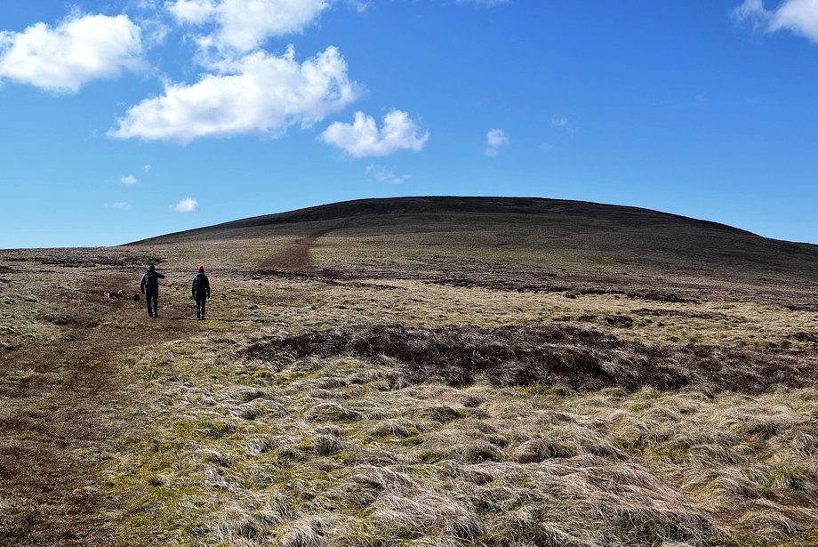
| Approaching Arm o' Grain |
 |
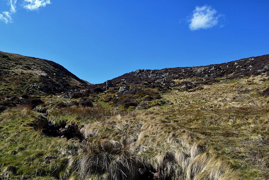
| Arm o'Grain is crossed near a ruined sheepfold the path then traverses across the opposite slope back towards Grainsgill Beck |
 |
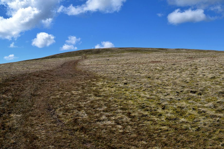
| Looking up Arm o' Grain |
 |
| The path traversing across to Grainsgill Beck |
 |
| Looking back to Carrock Fell |
 |
|
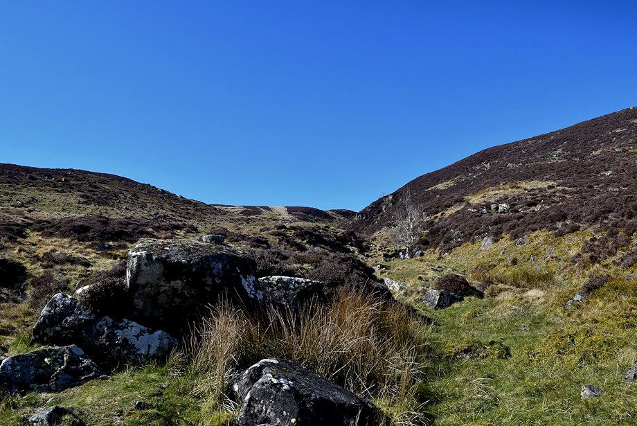
The path re-joins the Cumbria Way alongside Grainsgill Beck
|
 |
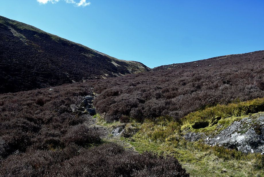
| Higher on the Cumbria Way path beside Grainsgill Beck |
 |
| Looking back to Bowscale Fell |
 |
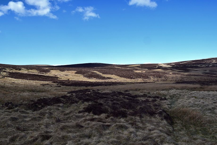
| The Cumbria Way path emerges onto the bleak moorland on the edge of Miller Moss |
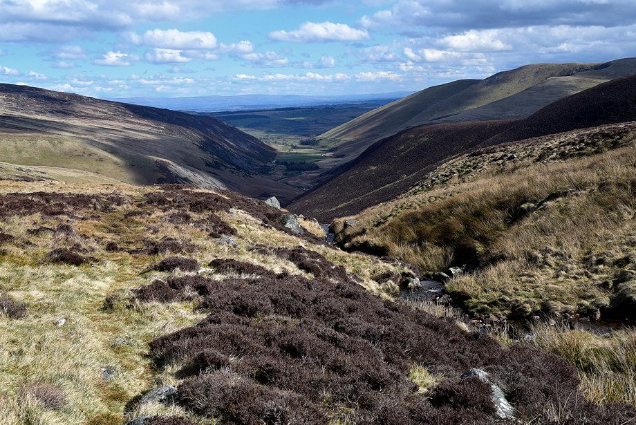 |
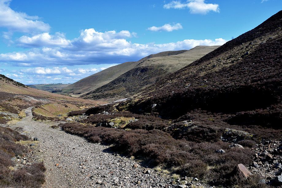
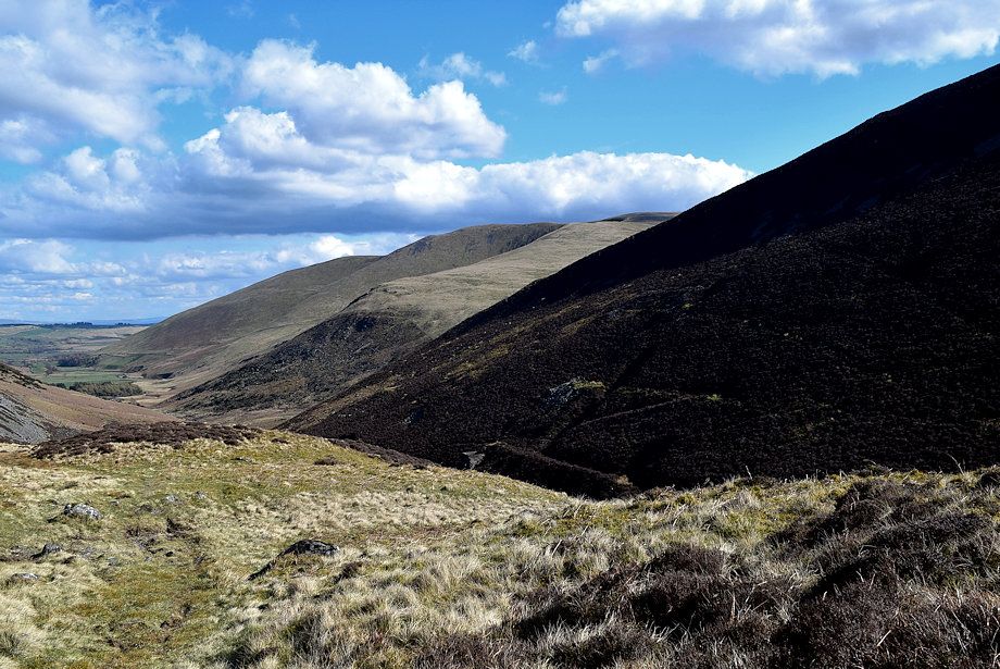
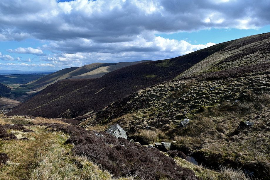
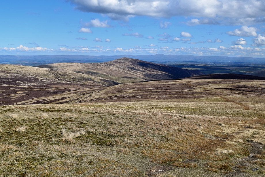
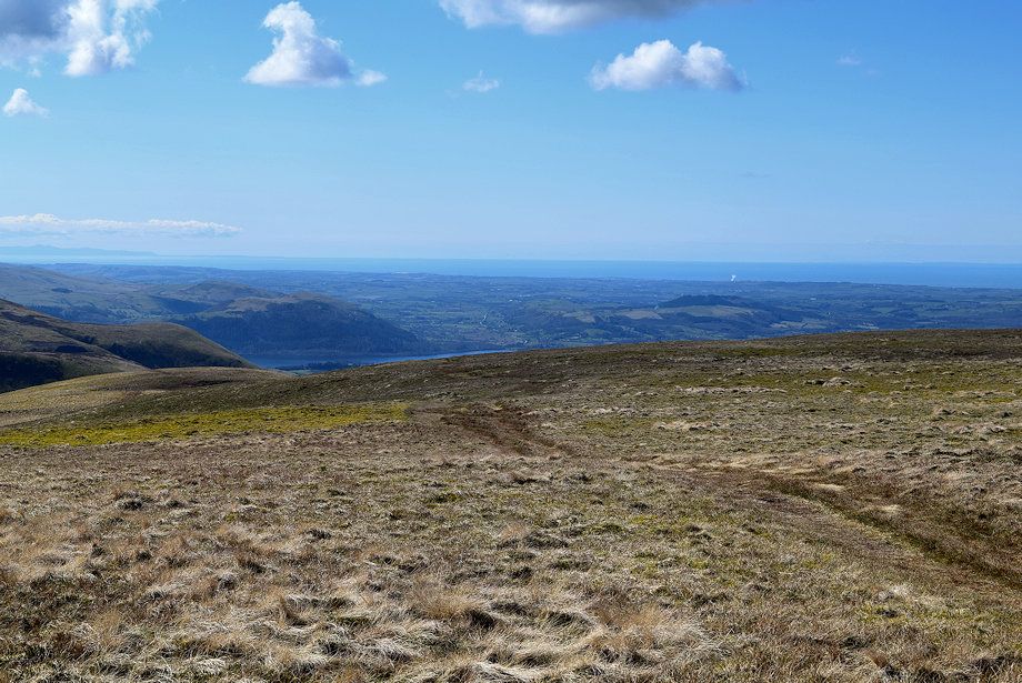
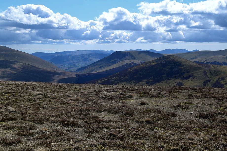
| The lower Caldew Valley from Grainsgill Beck |
 |
| The Cumbria Way path turns right towards Lingy Hut, an open bothy, on the slopes of Great Lingy Fell |
 |
| Looking back to Carrock Fell |
 |
| Bowscale Fell across the slopes of Coomb Height |
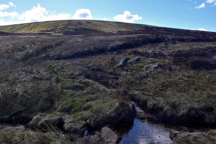 |
| The path to Knott crosses Grainsgill Beck and continues across the marsh and reeds of Gunner Well, keep right where the path forks, the left branch rises directly to the summit of Coomb Height |
 |
| The Lingy Hut from Gunner Well |
 |
| The right branch of the path ascends the broad end of Side's north-east ridge |
 |
| Carrock Fell from Gunner Well |
 |
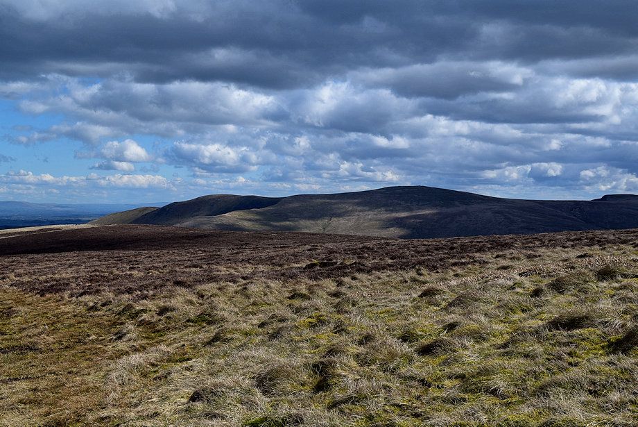
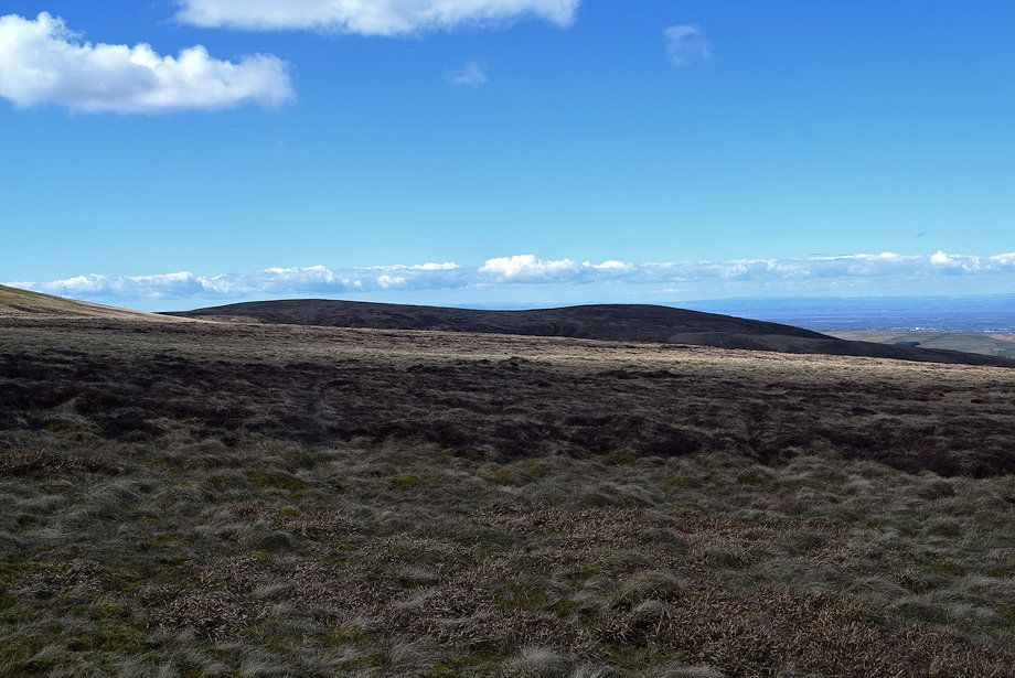
| Low Lingy Fell across Miller Moss from Gunner Well |
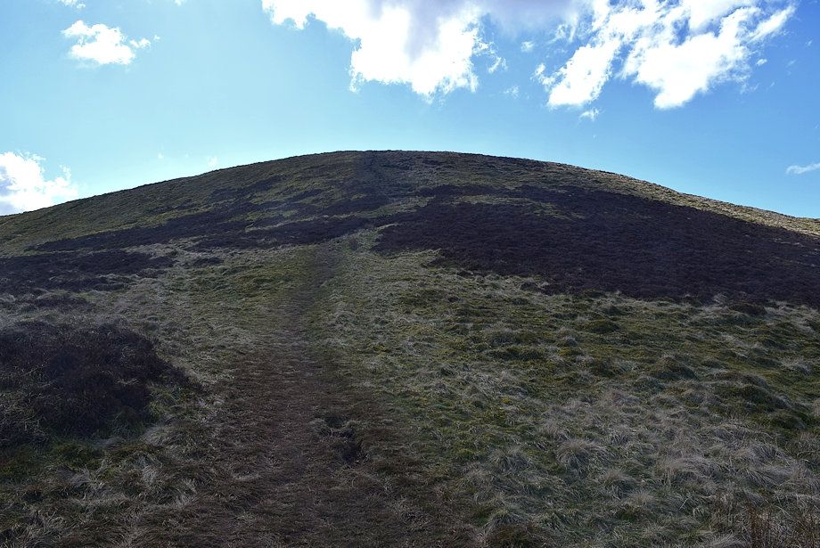 |
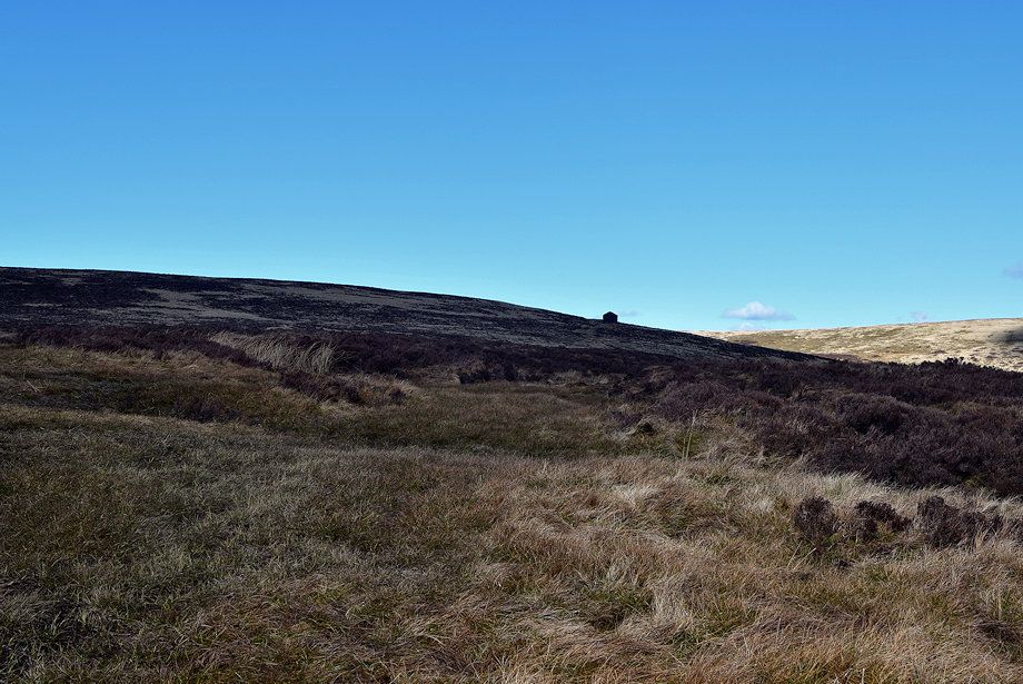
| The climb onto the north-east ridge of Side is quite short but very steep |
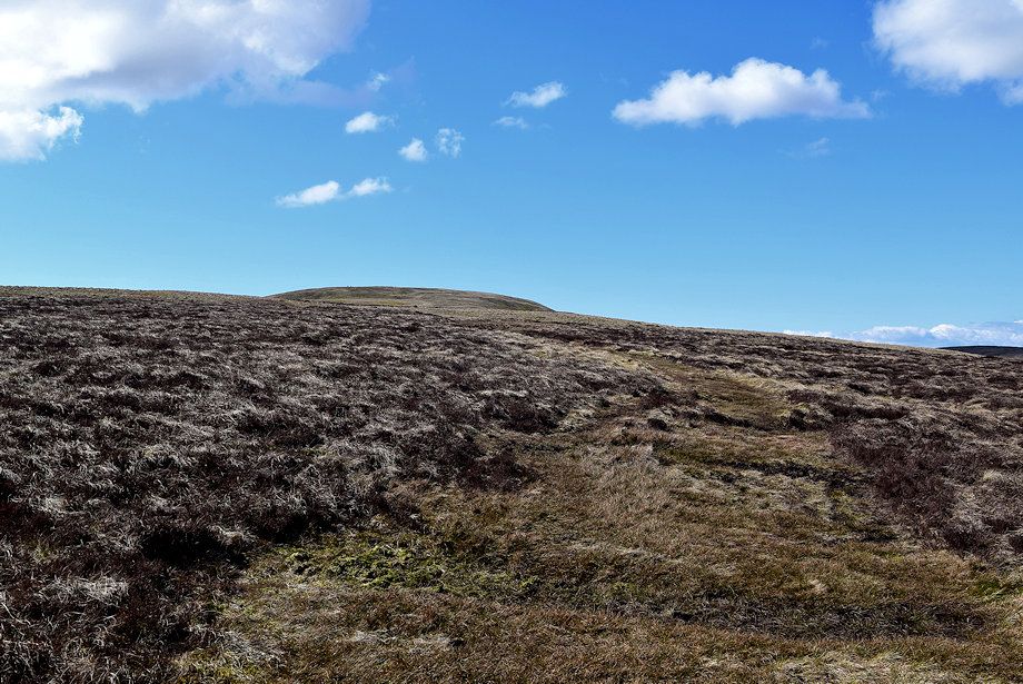 |
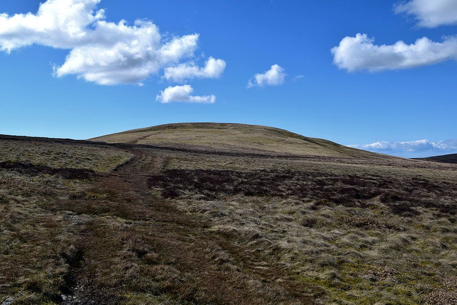
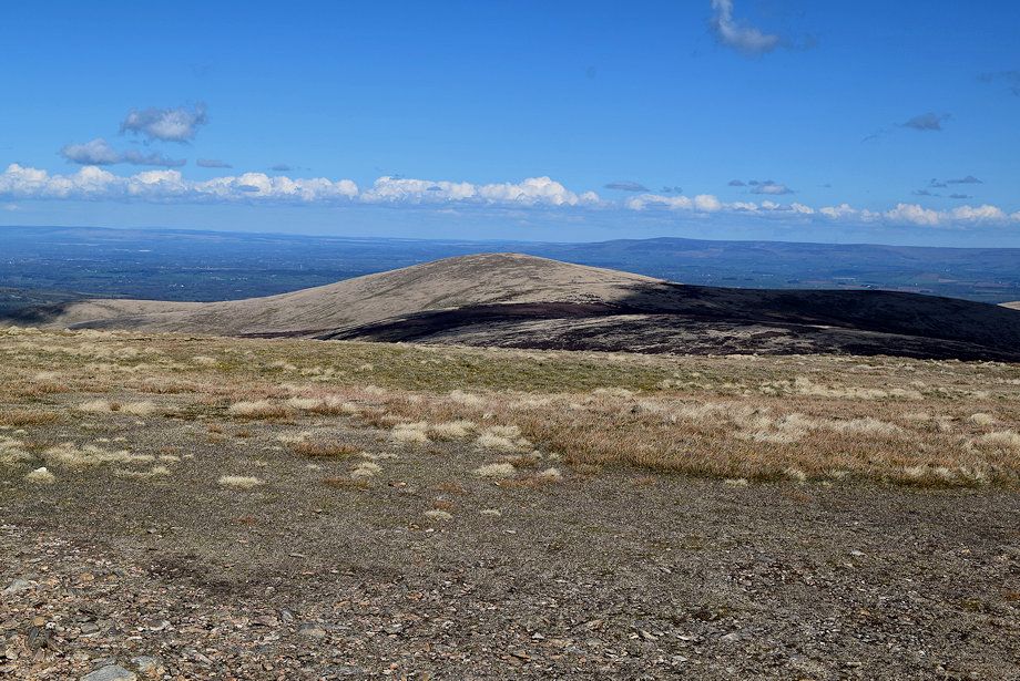
| As the angle of the slope eases the summit of Knott comes into view |
 |
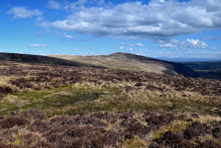
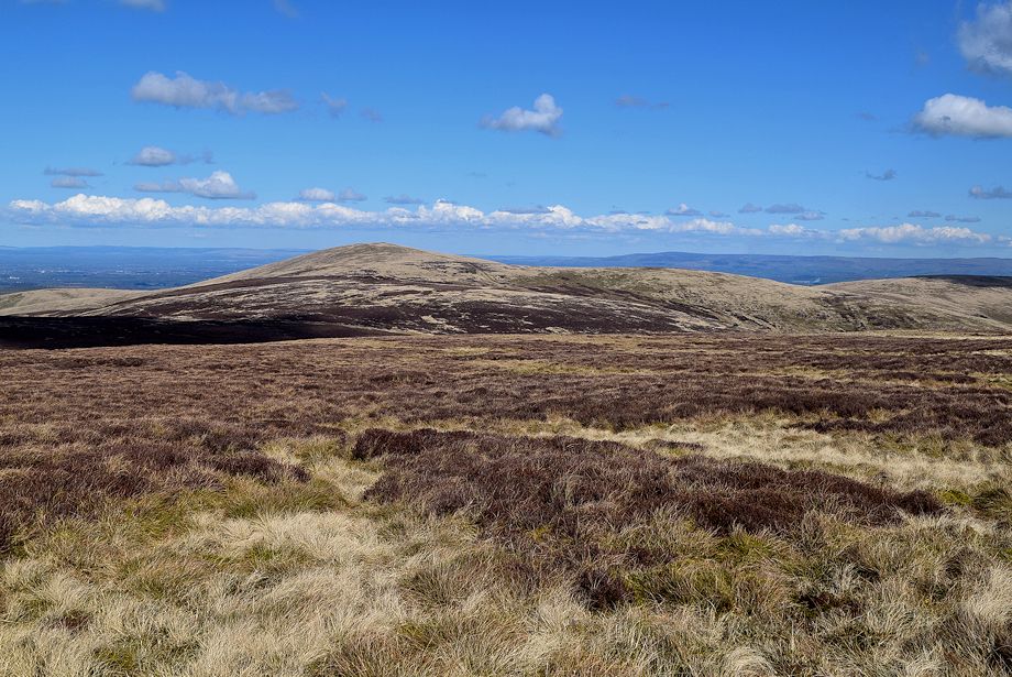
| Looking across to High Pike above Great Lingy Hill |
 |
| Carrock Fell from the path on Rigg |
 |
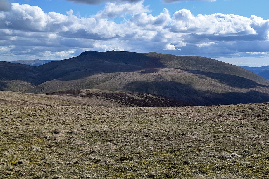
| Looking over towards Bowscale Fell |
 |
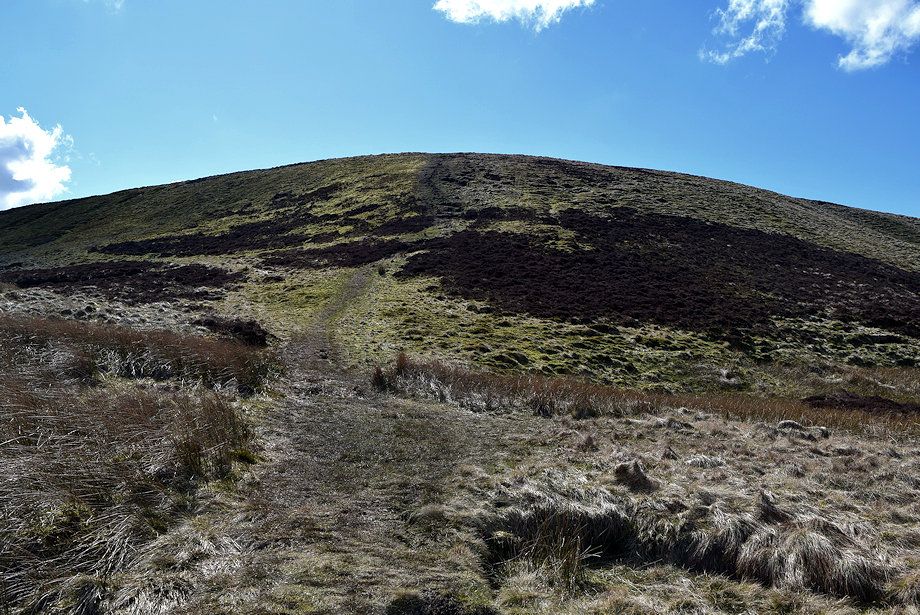
| The path gradually turns to the west and climbs directly to the summit of Knott |
 |
| Looking over towards Blencathra |
 |
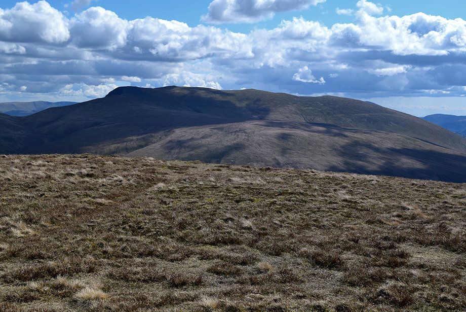
| Little Sca Fell and Brae Fell |
 |
| The path passes along the northern slope of Rigg which is an ill defined moorland ridge between Coomb Height and Knott |
 |
| High Pike from the northern slope of Rigg |
 |
| Approaching the shallow col betweem Rigg and Knott |
 |
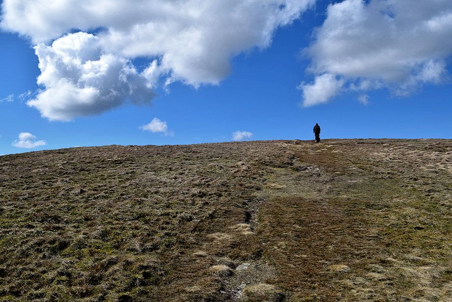
| The final slope leading up to the summit of Knott |
 |
| Skiddaw Little Man and Skiddaw from the climb to the summit of Knott |
 |
| Blencathra over Mungisdale Common |
 |
| The Glenderaterra col flanked by Blease Fell and Lonscale Fell |
 |
| Looking back along the path over Side, the summit of Coomb Height in the middle distance on the right |
 |
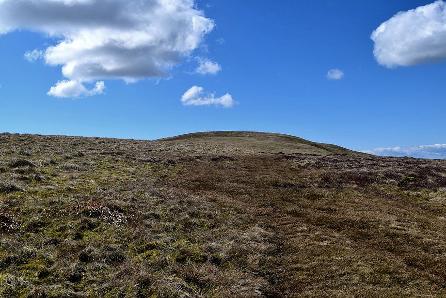
| Approaching the summit of Knott |
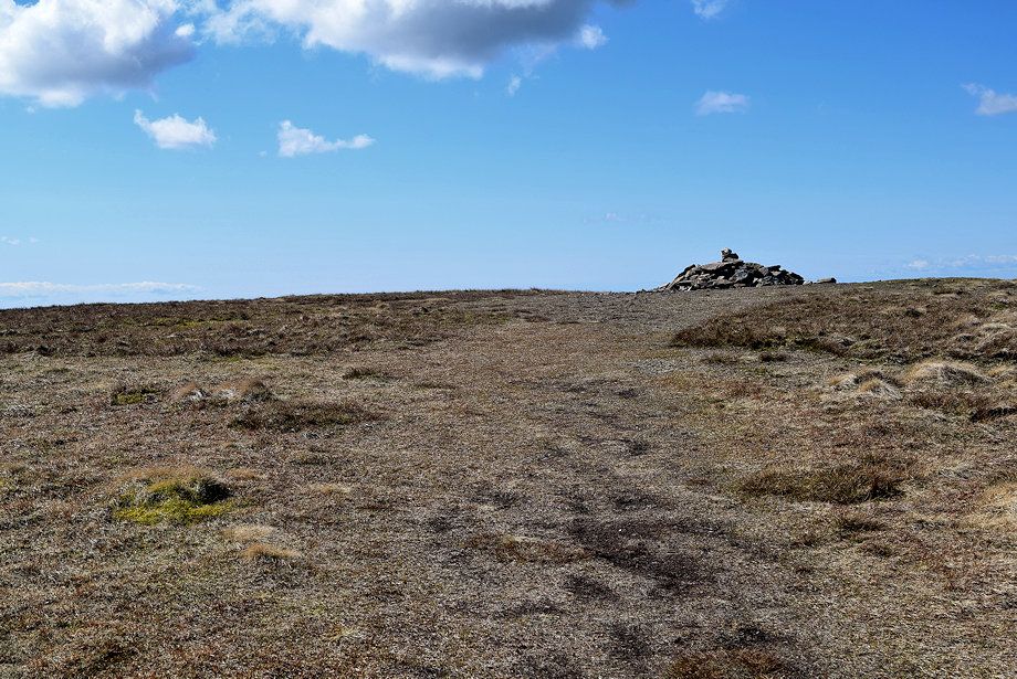 |
| The summit cairn comes into view |
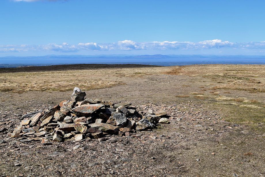 |
| The summit cairn on Knott |
 |
| A small section of Bassenthwaite Lake can be seen from the summit |
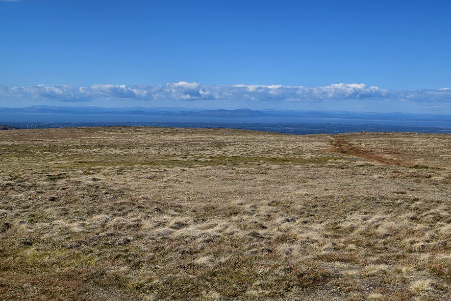 |
| Criffel across the Solway Firth from the summit of Knott |
 |
| High Pike from the summit of Knott |
 |
| Carrock Fell and the Pennines from the summit of Knott |
 |
| Bowscale Fell and Bannerdale Crags from the summit of Knott |
 |
| Blencathra over Mungisdale Common from the summit of Knott |
 |
| Steel Fell, Ullscarf, High Raise, Swirl How, Dow Crag, Grey Friar, Crinkle Crags, Bowfell, Esk Pike, Great End, Scafell Pike, Scafell and Great Gable form the distant horizon from the summit of Knott, with Lonscale Fell and Great Calva in the middle distance |
 |
| Skiddaw Little Man and Skiddaw over Little Calva from the summit of Knott |
