 |
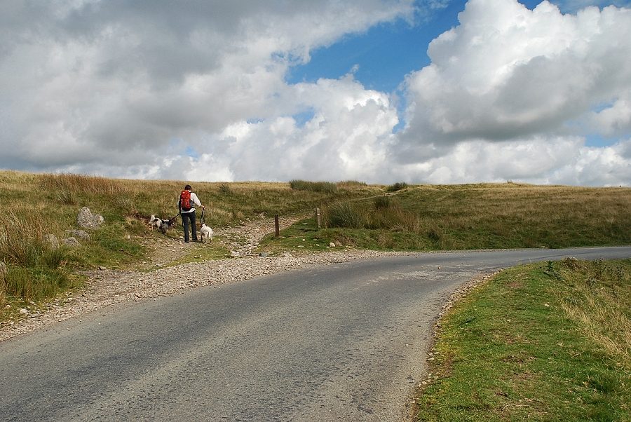
| The walk starts near a sharp bend on the fell road between Ennerdale Bridge and Calder Bridge where a signpost indicates the start of a track that leads into the valley of the River Calder. There are a few spaces to park a short distance to the west of the bend |
 |
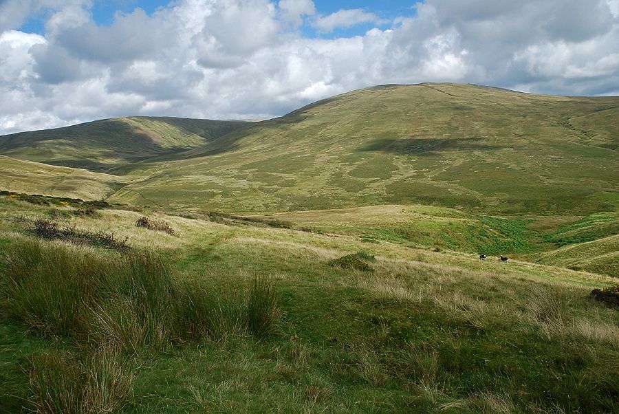
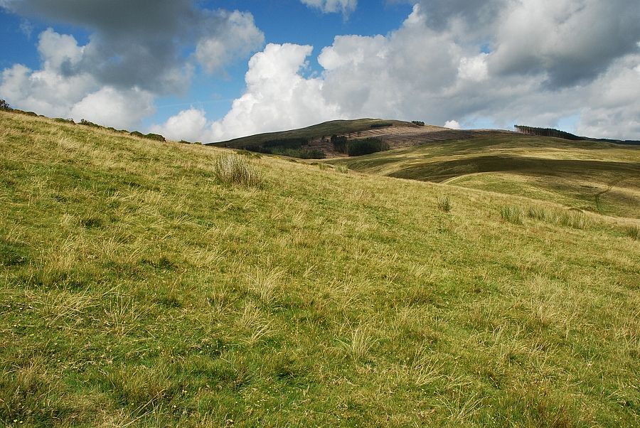
| Lank Rigg soon comes into view as the track reaches its highest point |
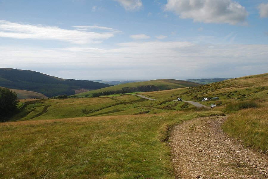 |
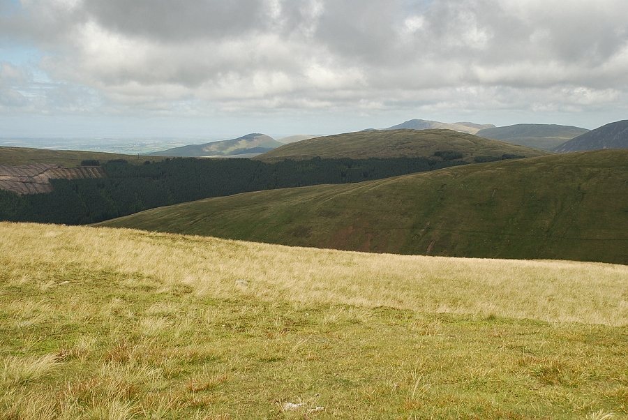
| Looking back to the fell road with Dent on the left and Flat Fell in the centre |
 |
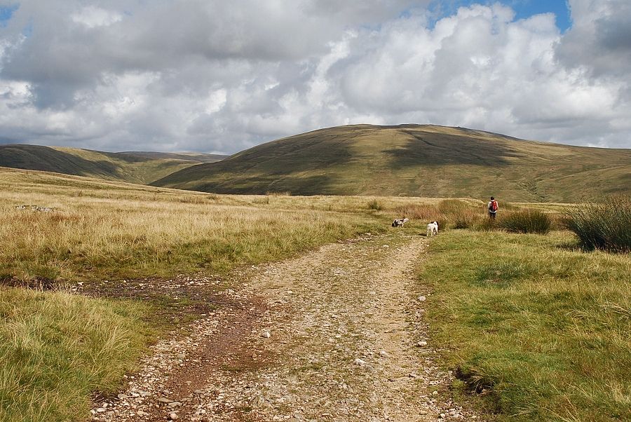
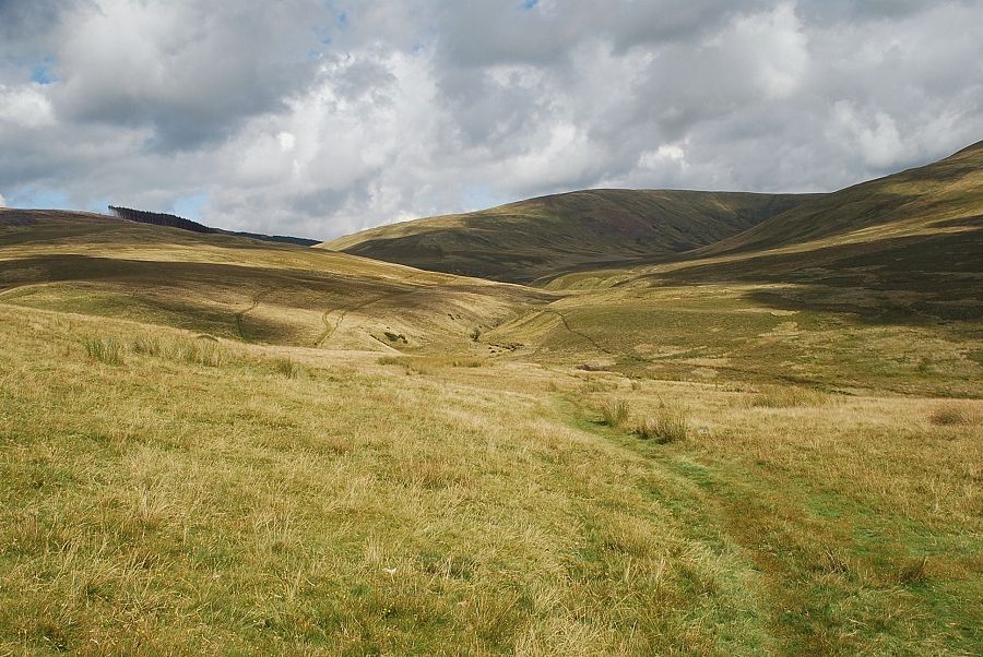
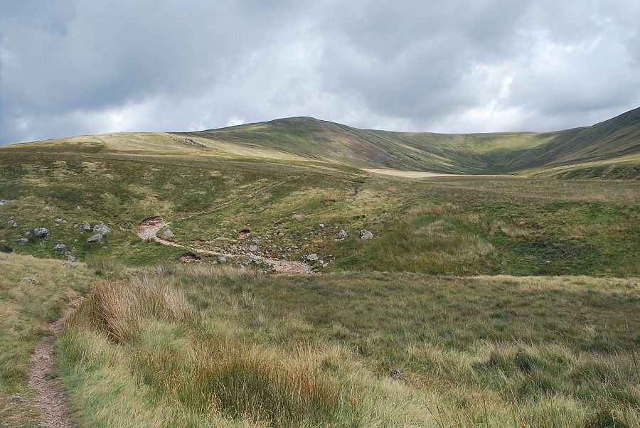
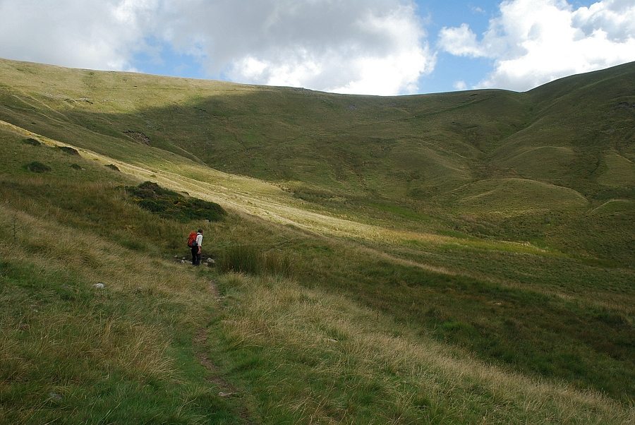
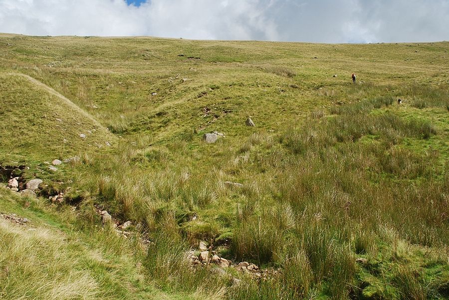
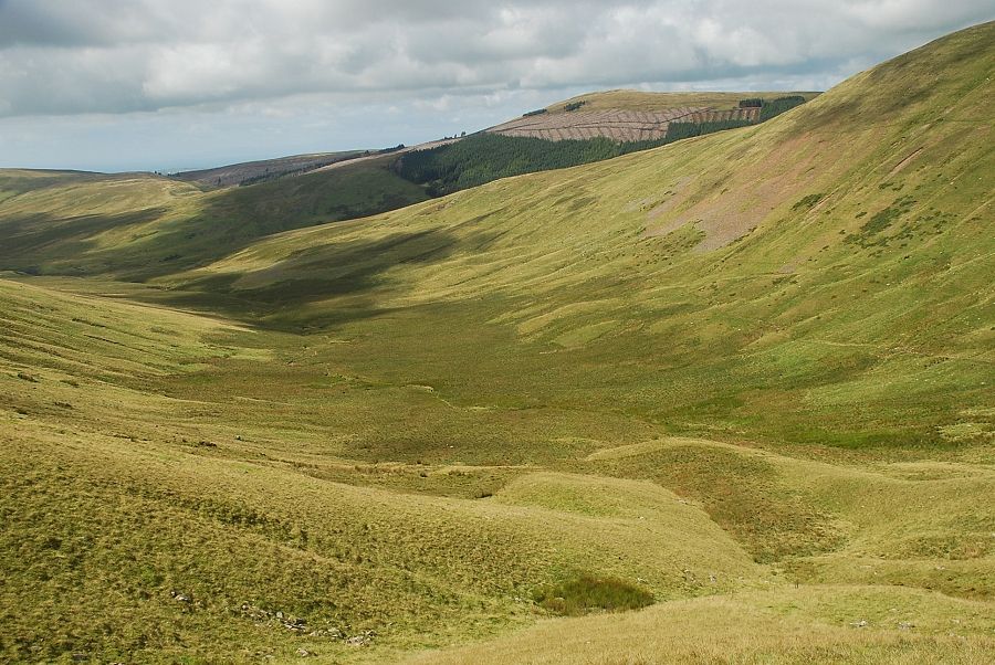
| The track begins to descend alongside Bomery Gill into the valley of the River Calder where the view opens out to show our route along the valley |
 |
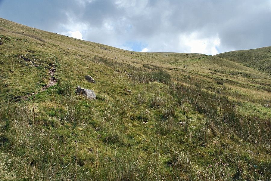
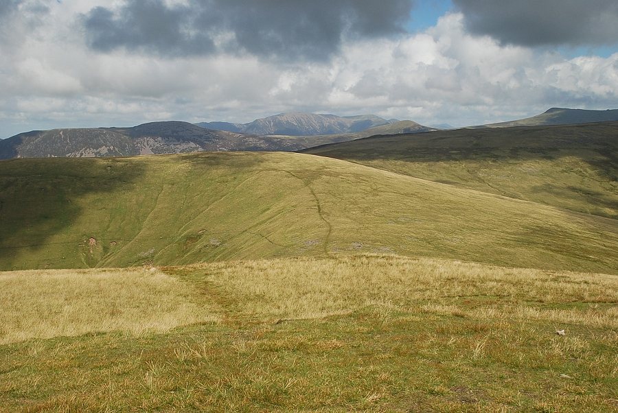
| Looking left to the summit of Grike |
 |
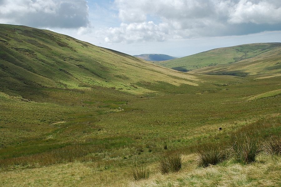
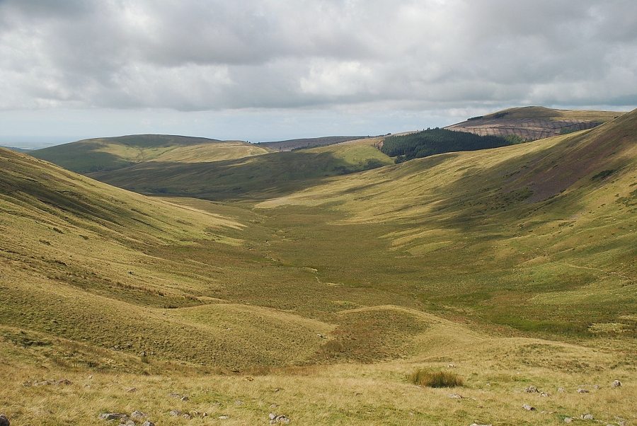
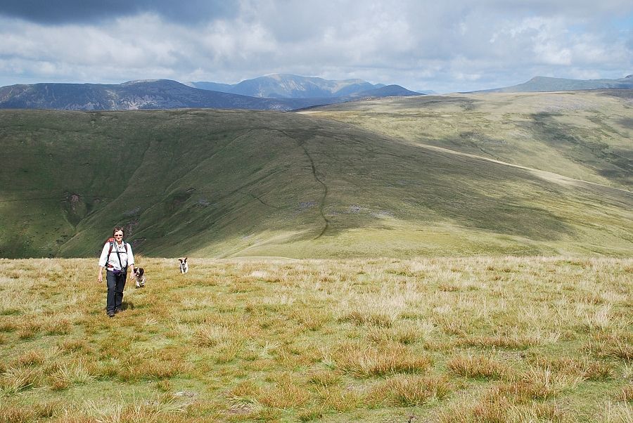
| Our route follows the course of the River Calder and then Whoap Beck before climbing towards the low point on the right skyline |
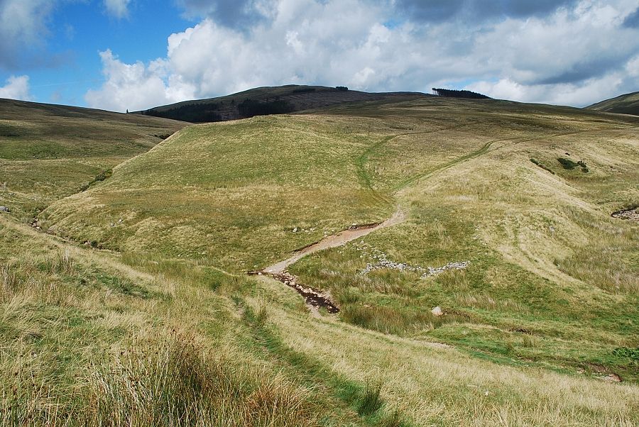 |
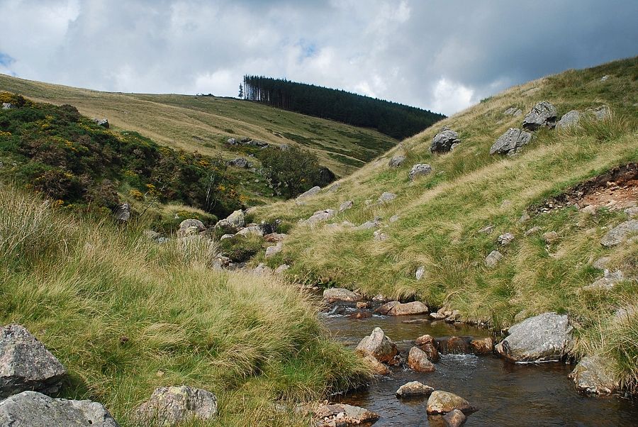
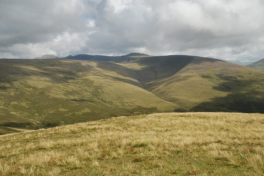
| Approaching the ford in the unfortunately named Stinking Gill, we take the lower of the two paths on the far bank which traverse the slopes of White Esk. The summit of Grike appears in the centre of the photograph |
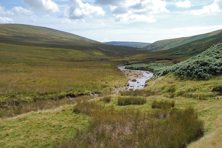 |
| Looking back along the valley of the River Calder from the confluence of Stinking Gill |
 |
| A little further along the path crosses the River Calder and continues on across the lower slopes of Whoap |
 |
| Crossing the River Calder, at this point little more than a small stream flowing down from Buck Hole |
 |
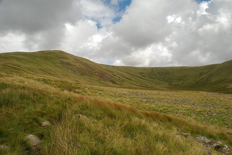
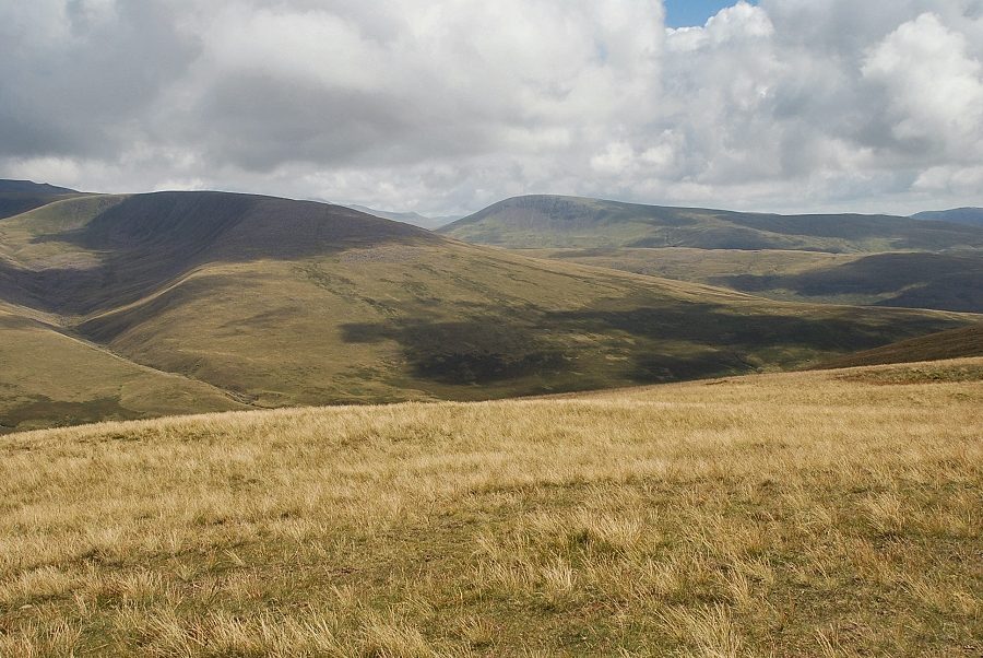
| Looking up the broad western slopes of Lank Rigg from the River Calder |
 |
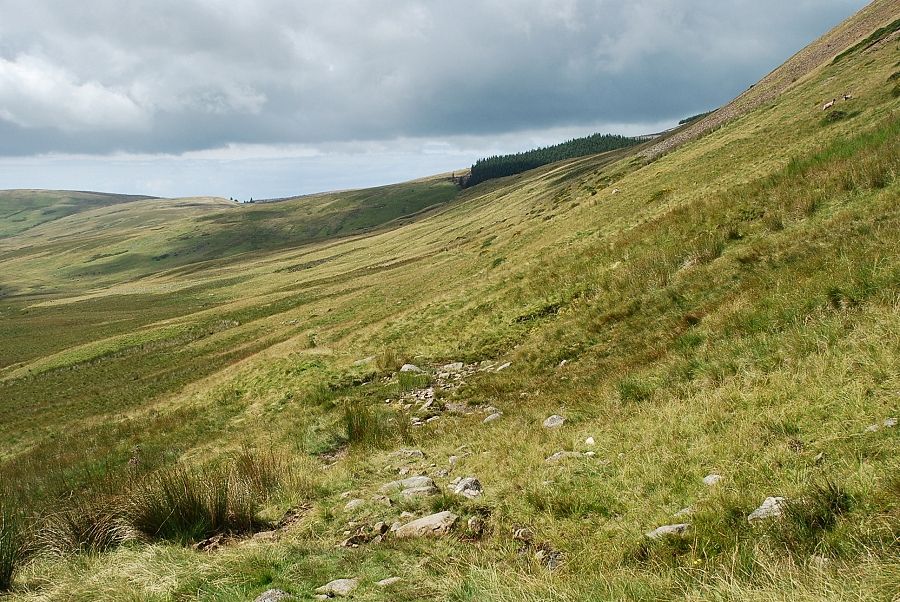
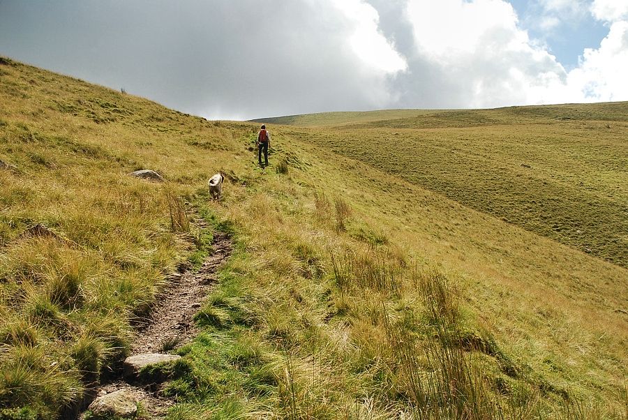
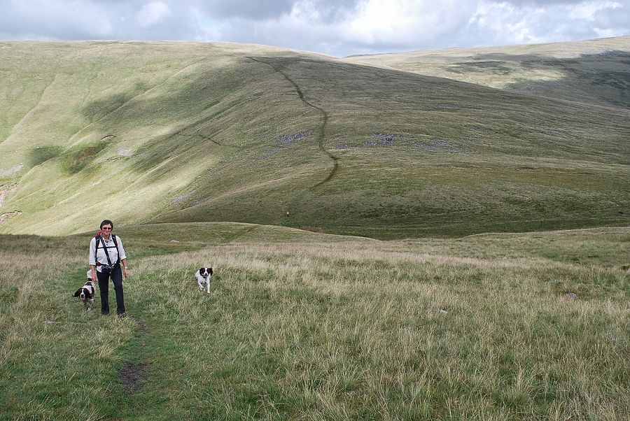
| The path is now little more than a sheep trod as it climbs gradually over the lower slopes of Whoap above Lankrigg Moss |
 |
| Looking back along the path above Lankrigg Moss |
 |
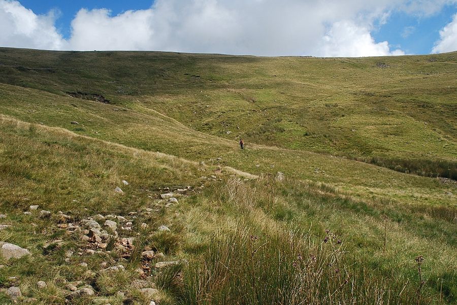
| The path crosses several minor streams as it approaches the head of the valley |
 |
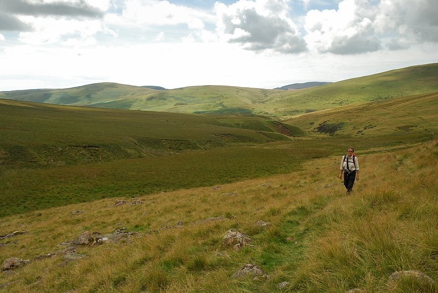
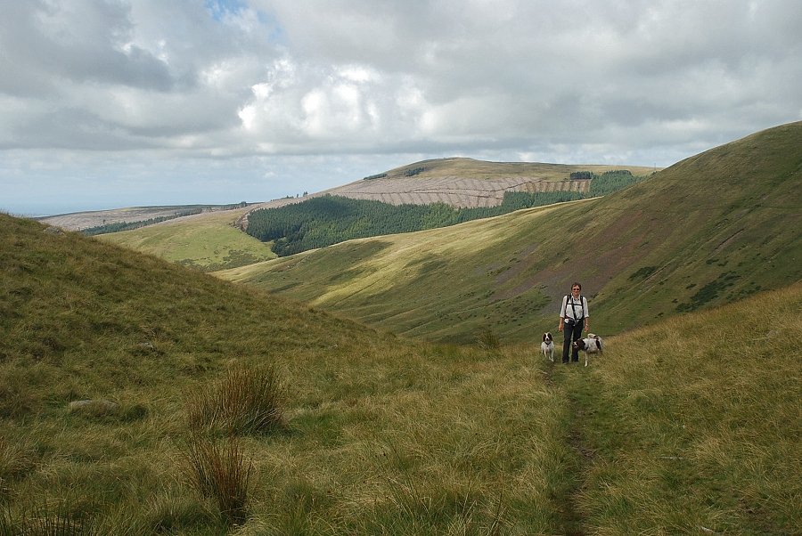
| Looking back along the path across the lower slopes of Whoap |
 |
| Approaching the head of the valley where we cross Whoap Beck |
 |
| Looking back over Whoap Beck and Lankrigg Moss |
 |
| Crossing Whoap Beck to continue the climb towards the col between Whoap and Lank Rigg |
 |
| The path leading up to the col |
 |
| Looking down to Lankrigg Moss |
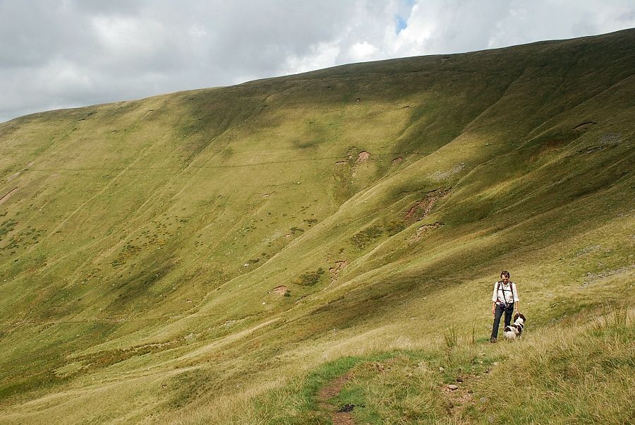 |
| The steep slopes of Whoap from the path to the col |
 |
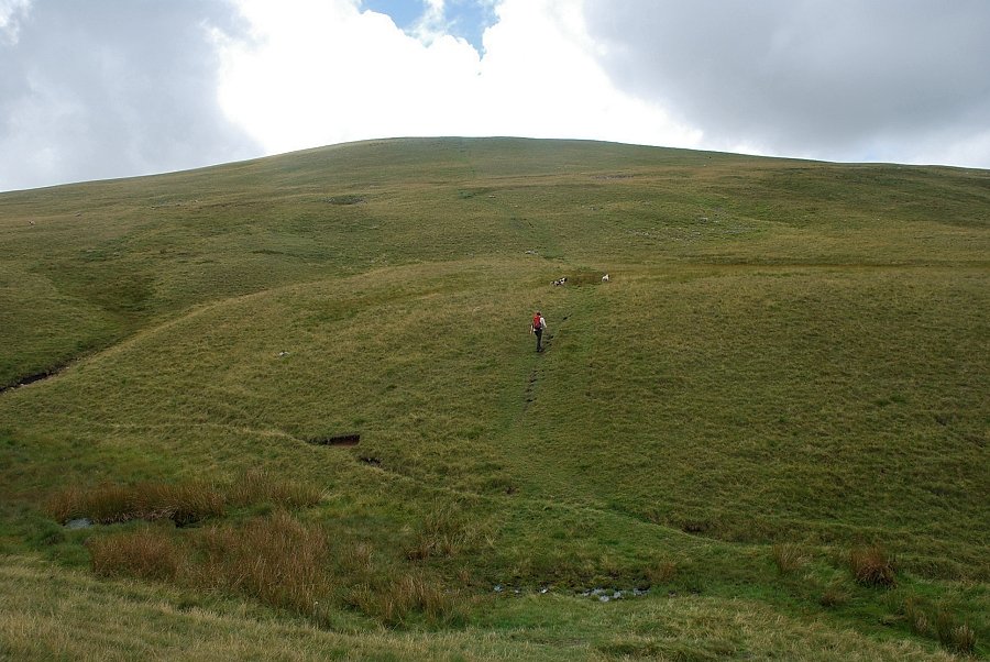
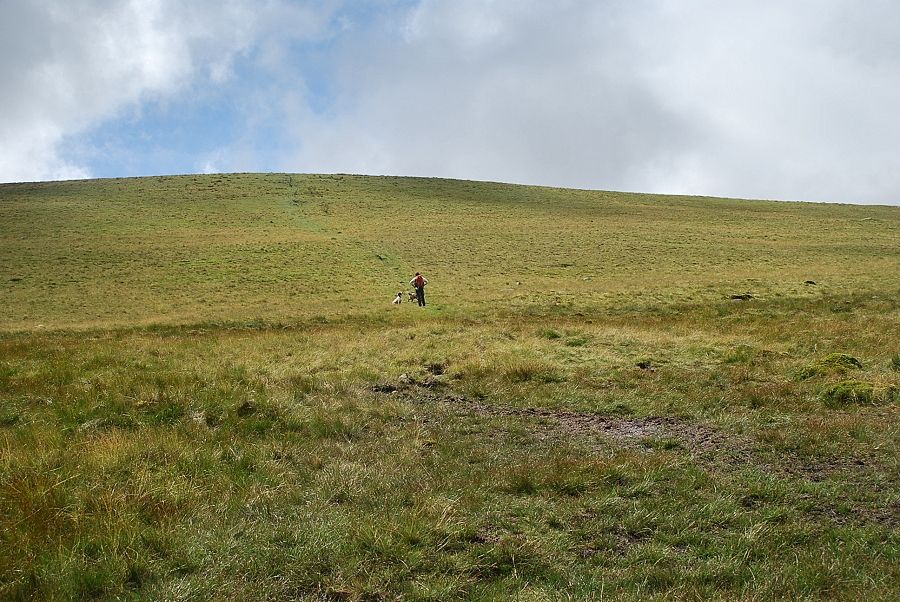
| Approaching the col between Whoap and Lank Rigg |
 |
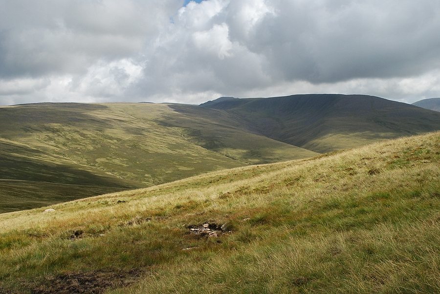
| Looking back to Lankrigg Moss and Grike from just below the col |
 |
| The narrow col between Whoap and Lank Rigg |
 |
| From the col it's a 350 ft climb to the summit of Lank Rigg |
 |
| Looking back to the col from the climb to the summit |
 |
| The final slope below the summit |
 |
| Looking over to Caw Fell |
 |
| Approaching the summit of Lank Rigg |
 |
| Looking back from just below the summit, Grasmoor appears over the ridge between Great Borne and Starling Dodd |
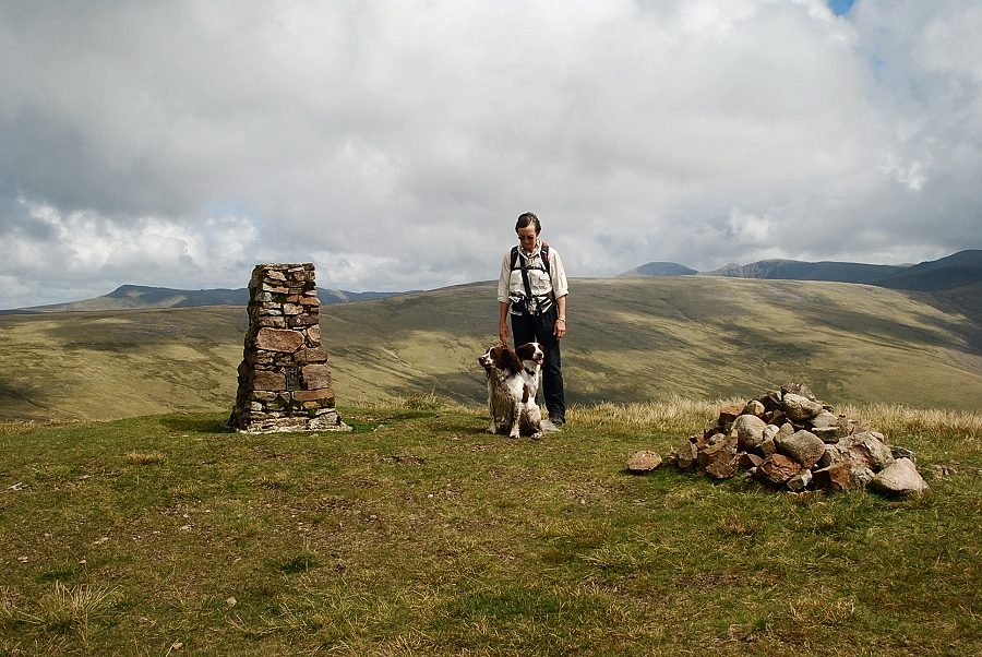 |
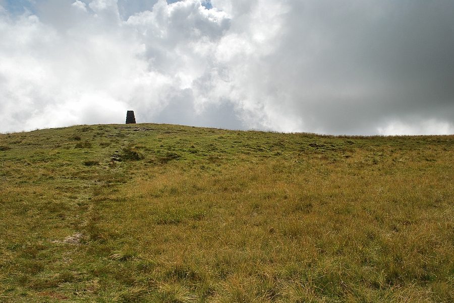
| The summit of Lank Rigg, the stones that used to surround the trig column have all been gathered together to form a cairn. In April 1965 AW hid a two shilling coin under a stone near the trig column to celebrate his completion of the pictorial guides. He mentioned this in the final guide, The Western Fells, inviting its first reader to find the "treasure". It was duly discovered on the 12th of March 1966, the day after the guide was published |
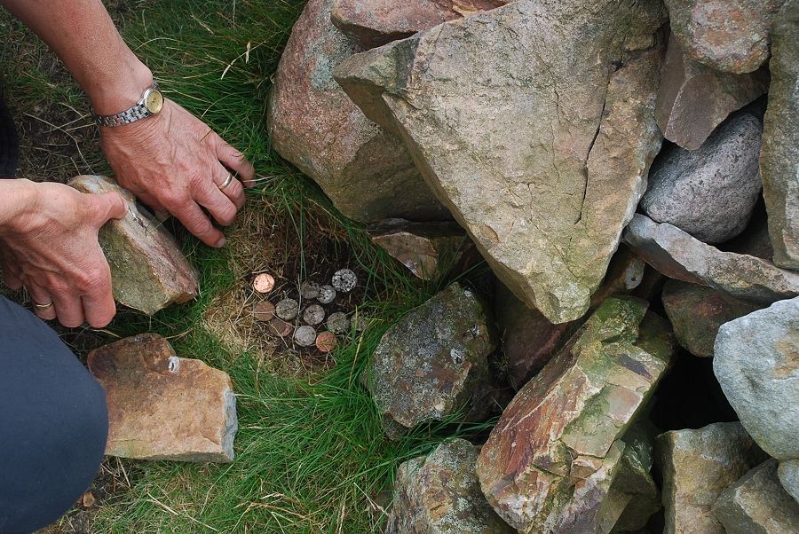 |
| Since then it has become something of a tradition to leave a coin under a stone for others to find |
 |
| Grike from the summit of Lank Rigg |
 |
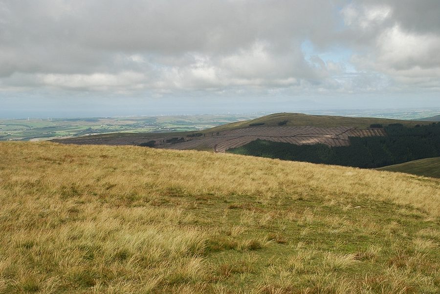
| To the north Blake Fell, the highest of the Loweswater fells, appears over Crag Fell |
 |
| The view to the north-east, Great Borne over the summit of Whoap, Grasmoor and Starling Dodd in the centre with Red Pike on the right |
 |
| To the east Pillar, Steeple, Scoat Fell and Haycock appear above Iron Crag and Caw Fell |
 |
| Looking south-east to Seatallan |
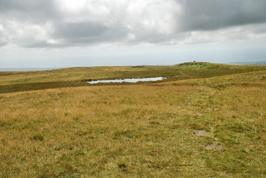 |
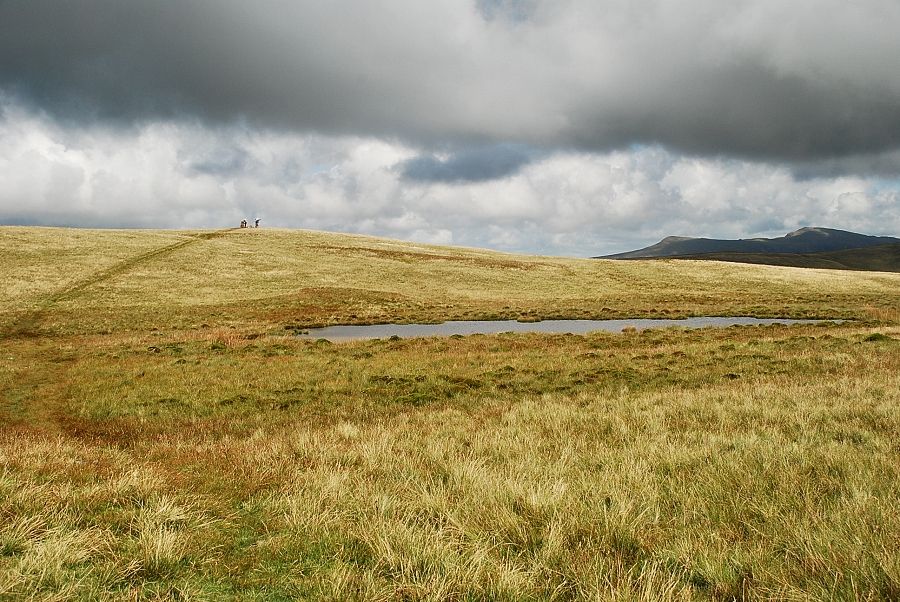
| The summit tarn and the south-west cairn |
 |
| The summit of Lank Rigg from the south-west cairn |
