 |
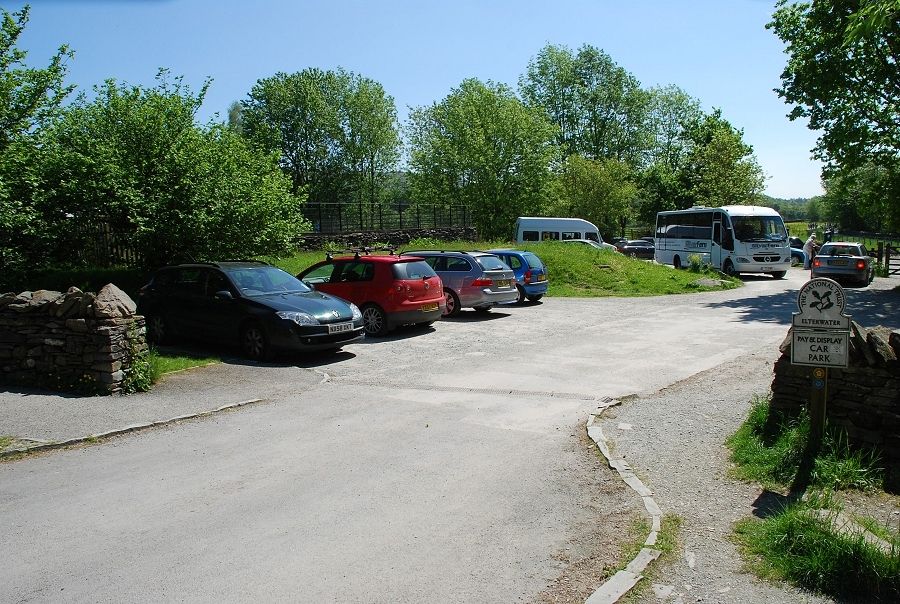
| The National Trust car park at Elterwater is the starting point for this walk, there is another car park on the outskirts of the village and a number of informal places to park |
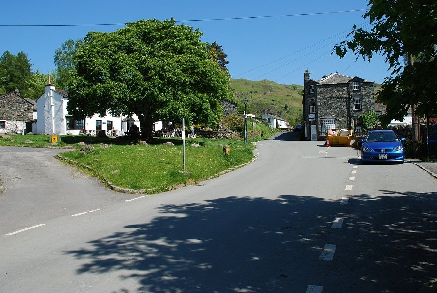 |
| Elterwater village |
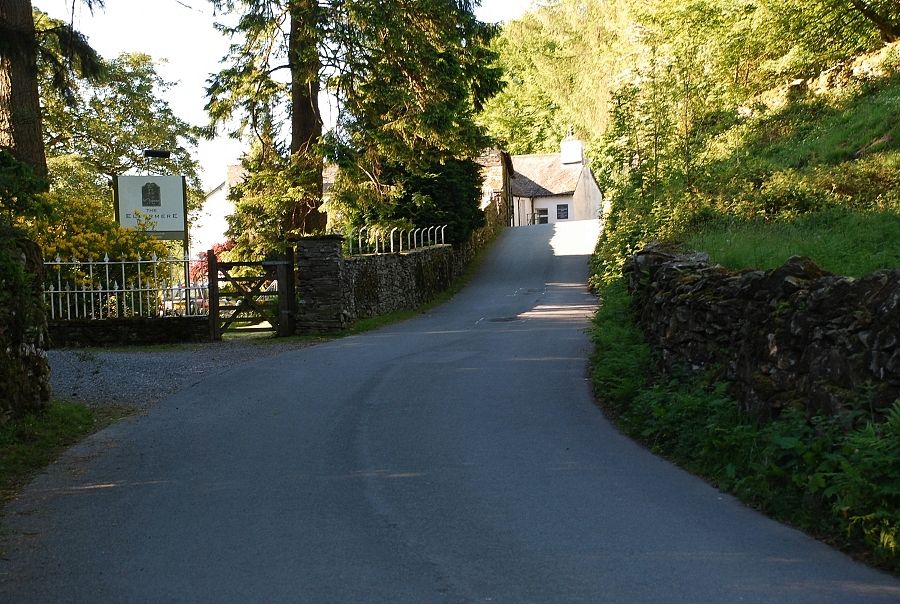 |
| Turning left from the car park onto the road to Little Langdale, this is only followed for a short distance, past the youth hostel and the Eltermere Hotel, before taking the first turning on the right onto a lane |
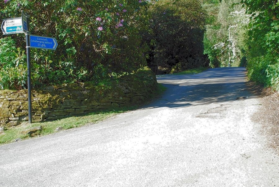 |
| The lane is signposted as a challenging option for cyclists bound for Coniston. The lane is only surfaced for the first couple of hundred yards and then degenerates into an extremely rough track, it's known locally as the "high road" ( to Little Langdale ) |
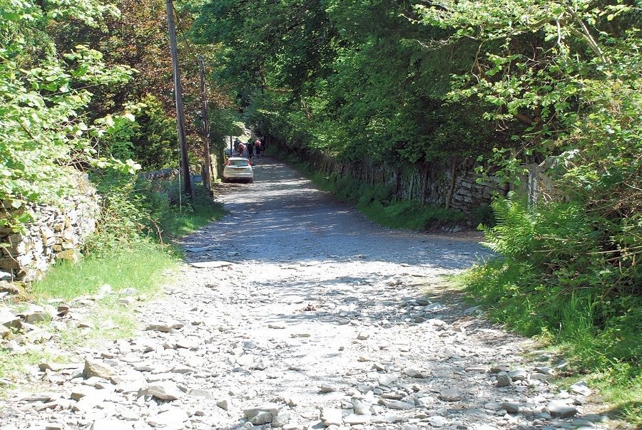 |
| Looking back down the lane |
 |
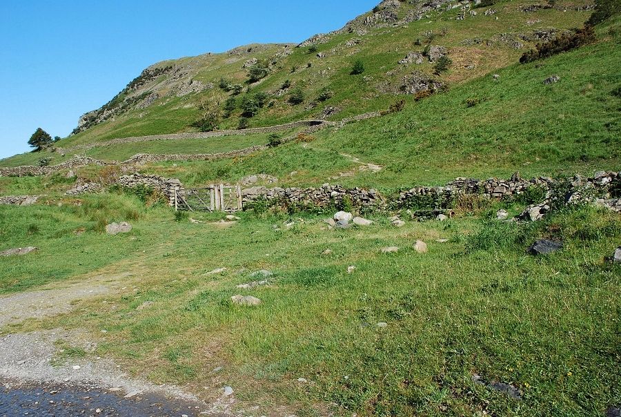
| The track rises alongside Sawrey's Wood to a gate, this is the one shown on AW's diagram of ascent from Elterwater |
 |
| Looking back to Red Screes and Loughrigg Fell |
 |
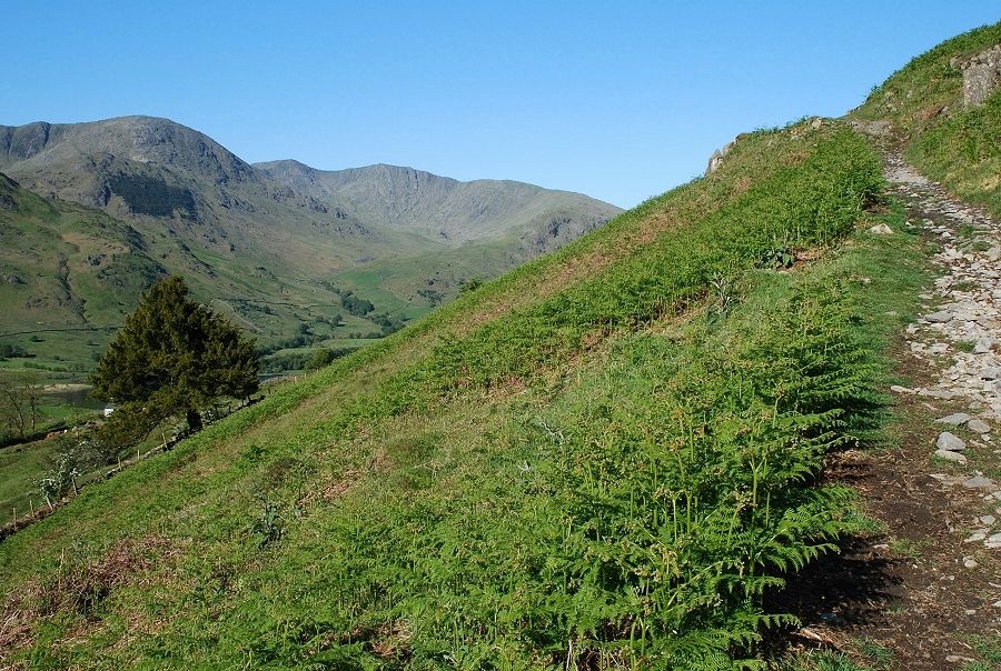
| The lane's surface improves as it reaches its highest point before it descends towards Little Langdale with views to the Coniston Fells |
 |
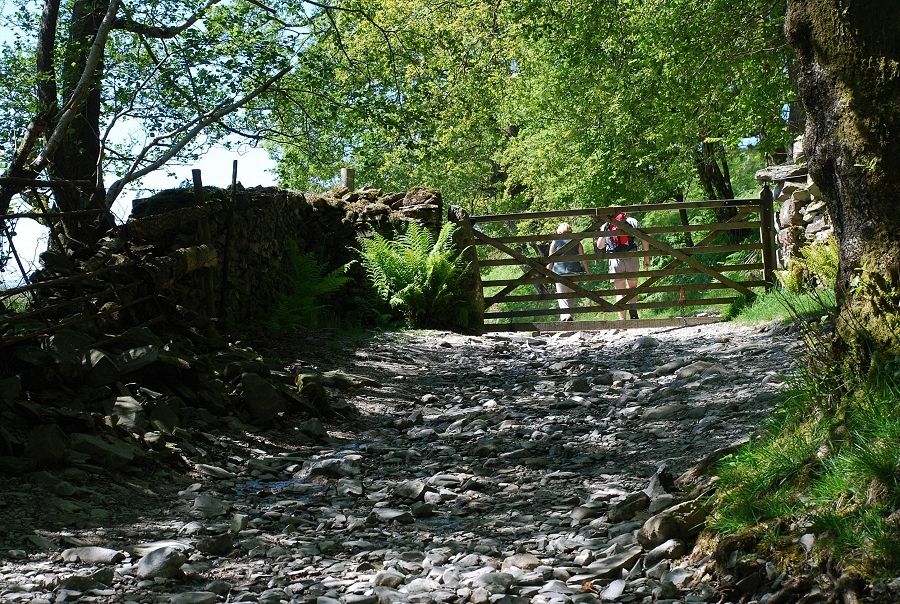
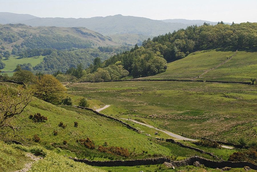
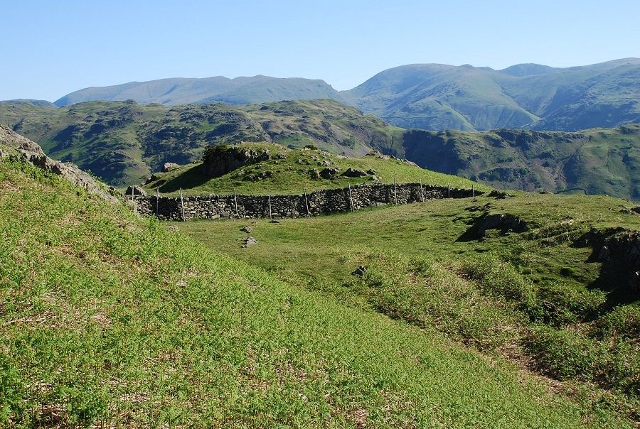
| Approaching Dale End Farm a gate gives access to a path through an enclosure which rises to another gate and onto the open fell. This is an old path that served the numerous small slate quarries on the higher slopes of the fell. It is more usual to reach this point from Little Langdale. AW drew his diagram of this route starting from there but car parking in the valley is very restricted |
 |
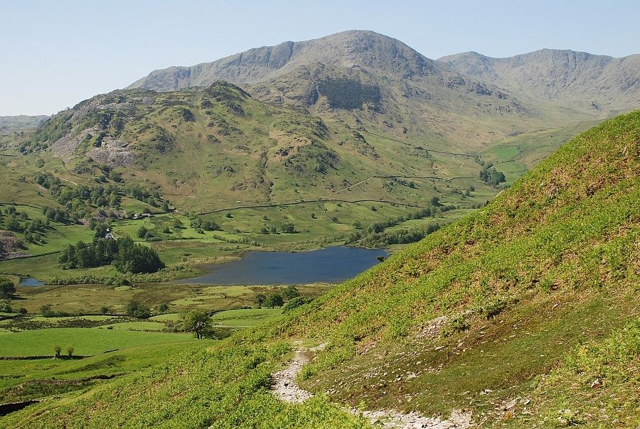
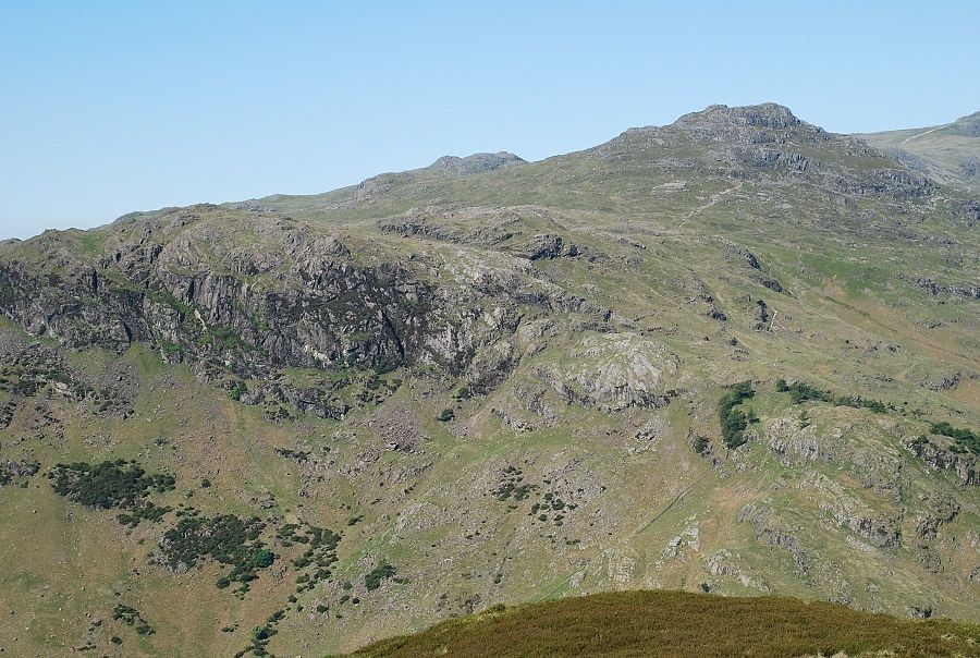
| The Coniston Fells from the lower part of the path |
 |
| Higher up the path Little Langdale Tarn comes into view |
 |
| Looking back down to the start of the path |
 |
| Higher on the path looking down to Little Langdale Tarn |
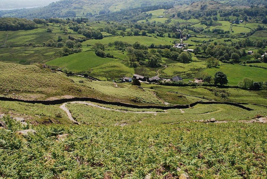 |
| Looking down to Dale End Farm and Little Langdale |
 |
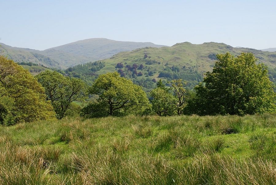
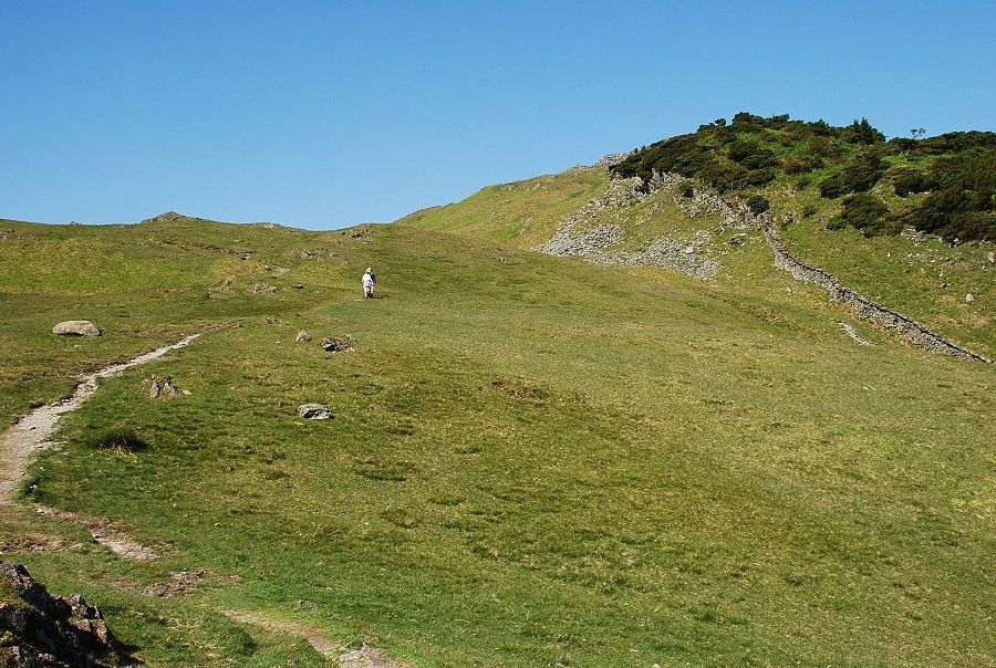
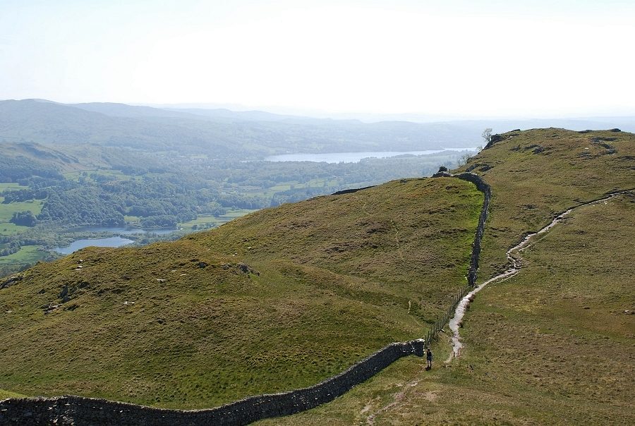
| On reaching the ridgeline the view opens out across to the western half of the Fairfield Horseshoe |
 |
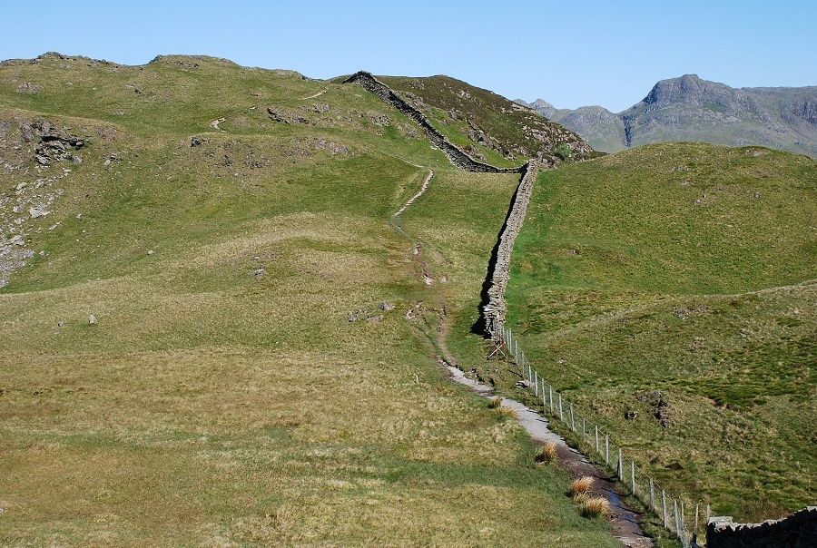
| The path leads on to run alongside the ridge wall |
 |
| Helvellyn appears on the left horizon |
 |
| The path along the ridge |
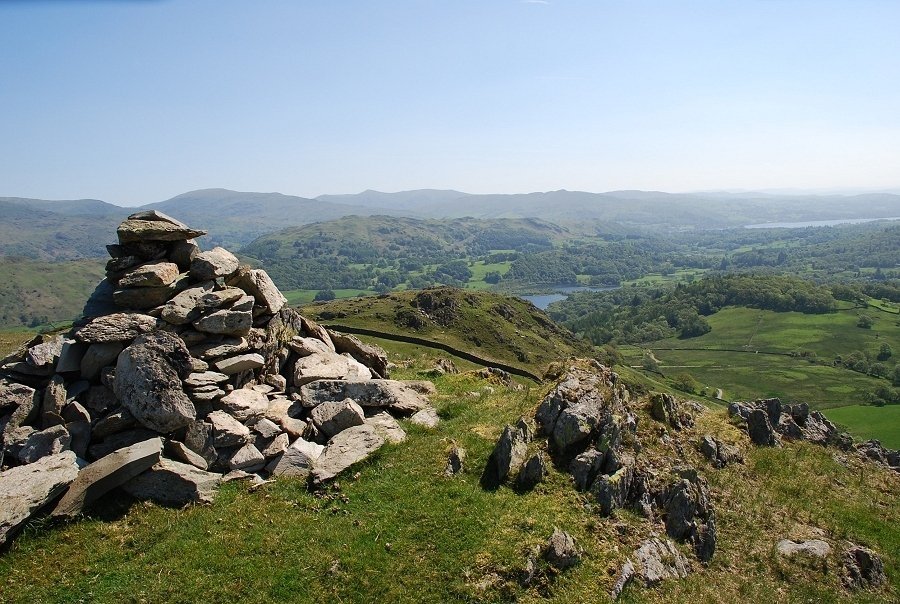 |
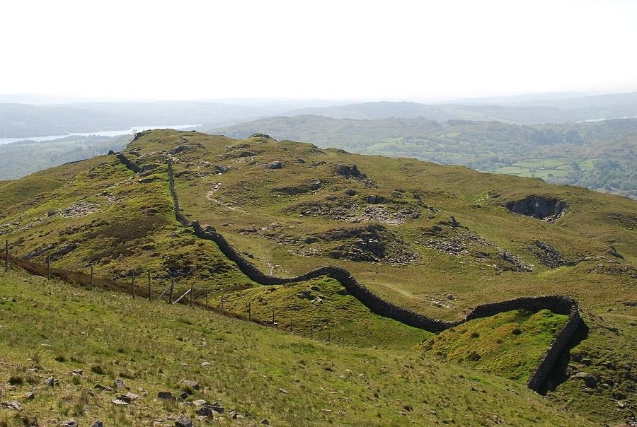
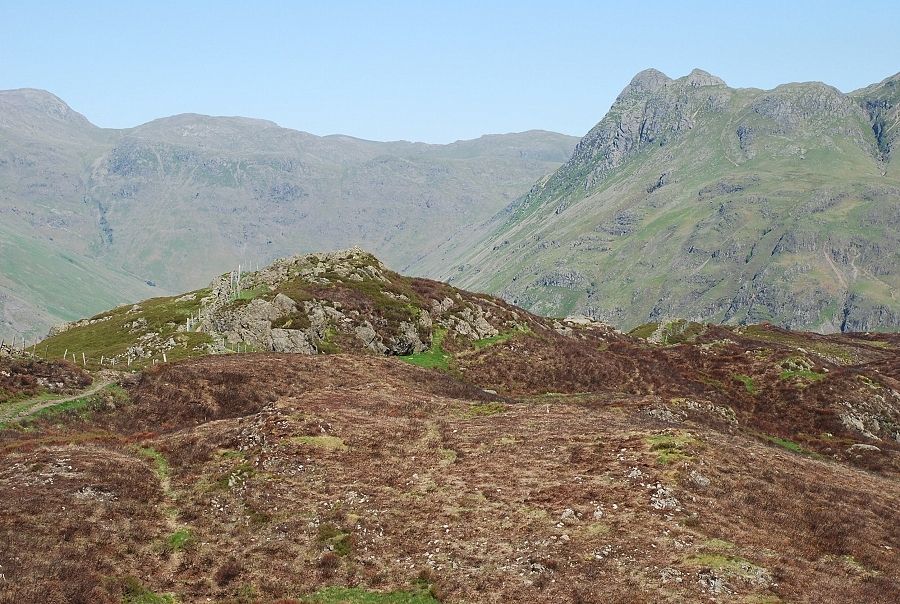
| A slight diversion to the left of the path to visit the cairn on Bield Crag which gives a fine view towards Windermere |
 |
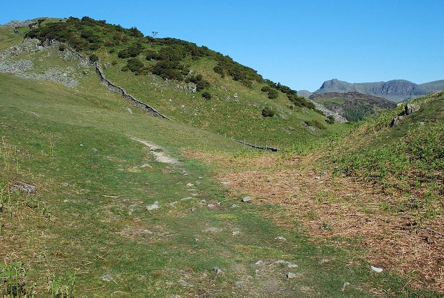
| At the top of a steep rise, near the first of the old quarries, there is a well constructed seat made from slate spoil |
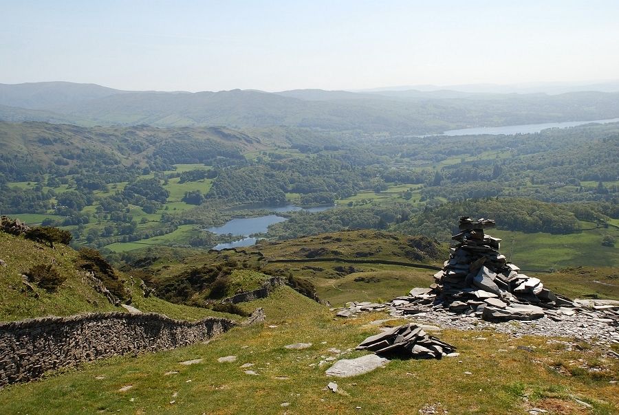 |
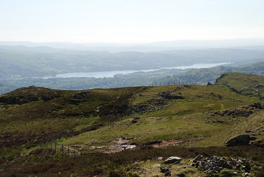
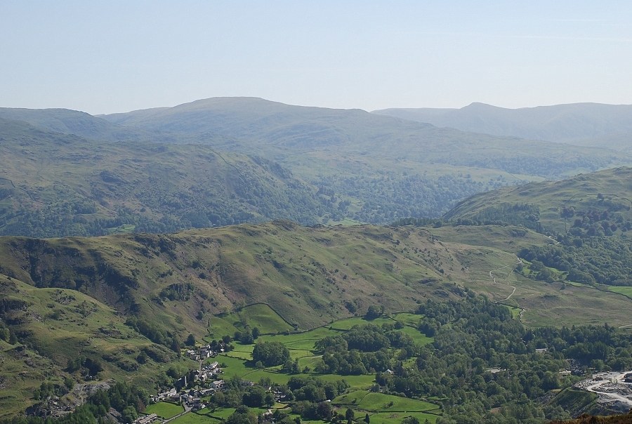
| The view from the seat back to Elterwater and Windermere |
 |
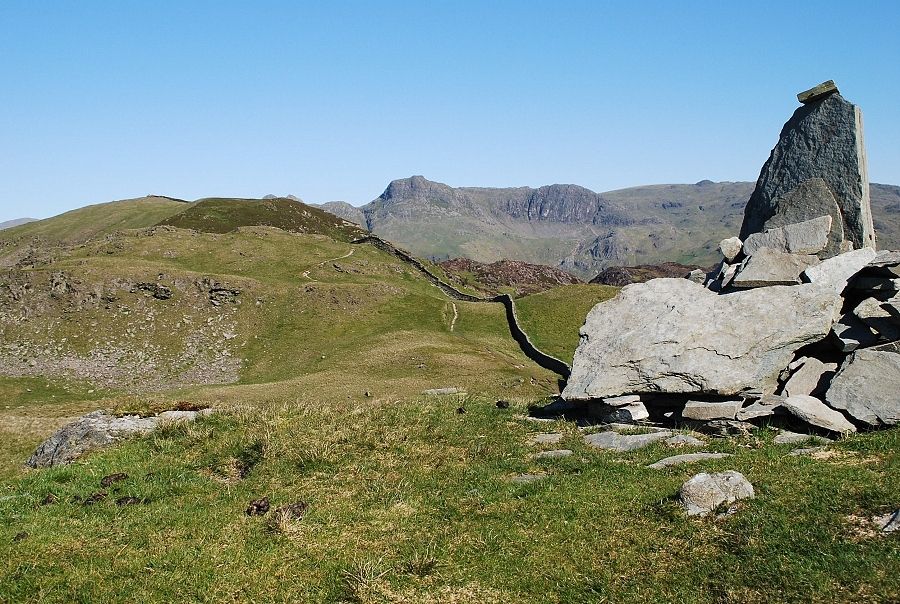
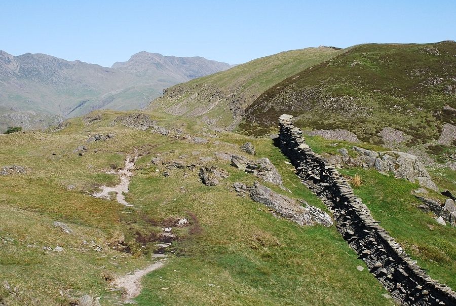
| The old path continues on across the side of the fell without gaining much height, its original purpose being to serve the small quarry workings. It is possible to follow the old path to a point immediately below the summit but it's preferable to leave it at the seat for a higher path which follows the ridge wall. The view from the higher path, Great Carrs and the curving ridge of Wet Side Edge with Harter Fell beyond Wrynose Pass |
 |
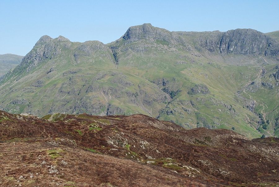
| The Langdale Pikes from the path along the ridge |
 |
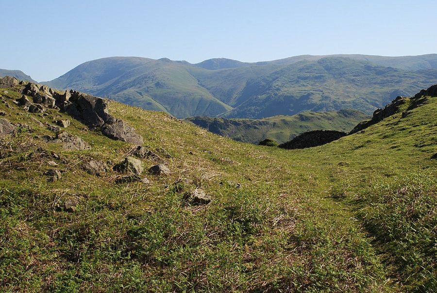
| The path crosses a wide col alongside a fence. The col is normally quite wet but after along dry spell the going is much better today |
 |
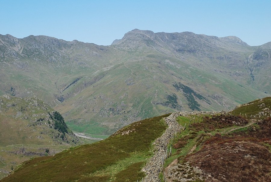
| Looking back across the col to Windermere |
 |
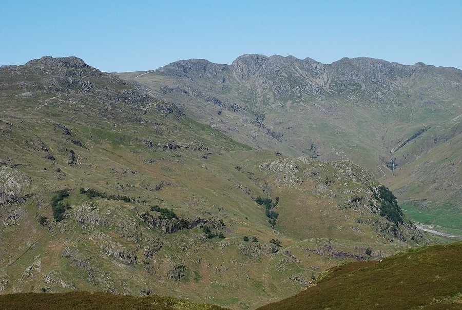
| The summit comes into view with Crinkle Crags and Bowfell on the left horizon |
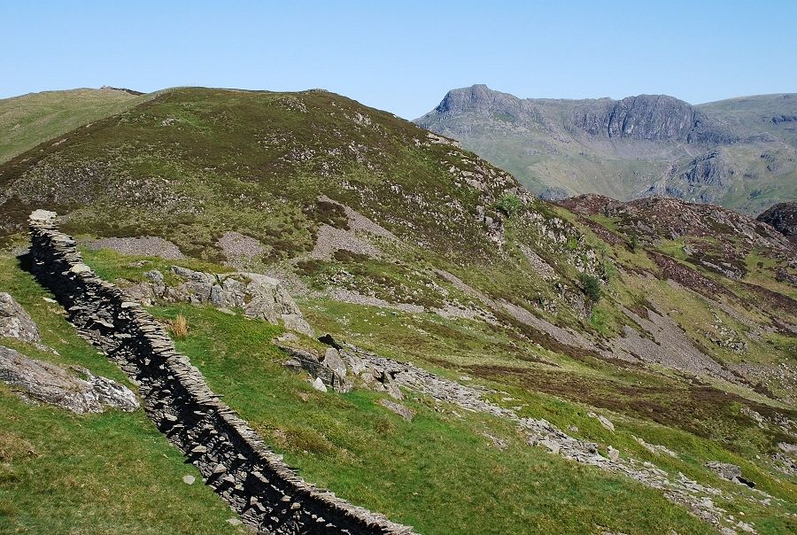 |
| From the same position looking across to the Langdale Pikes |
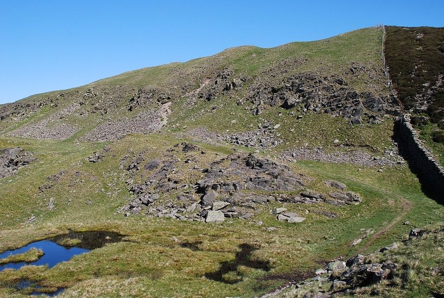 |
| The last steep slope below the summit where the path veers left over loose scree to outflank a belt of low crags |
 |
| Looking back along the ridge from the top of the steep slope |
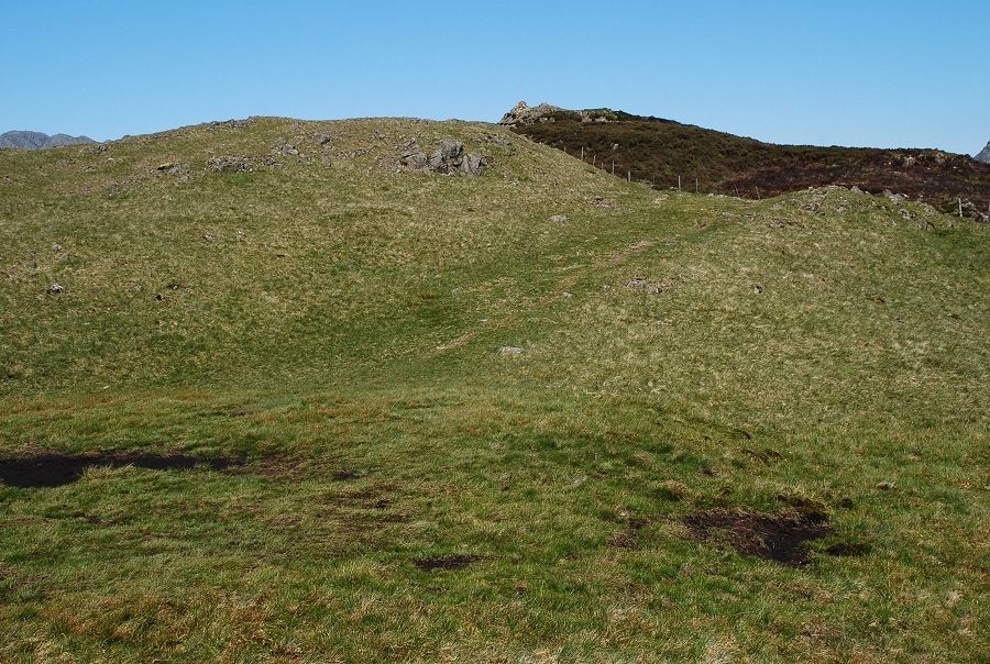 |
| Back to easy grass slopes on the approach to the summit |
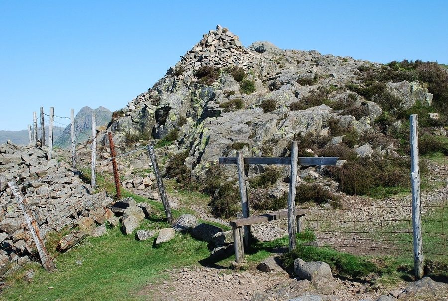 |
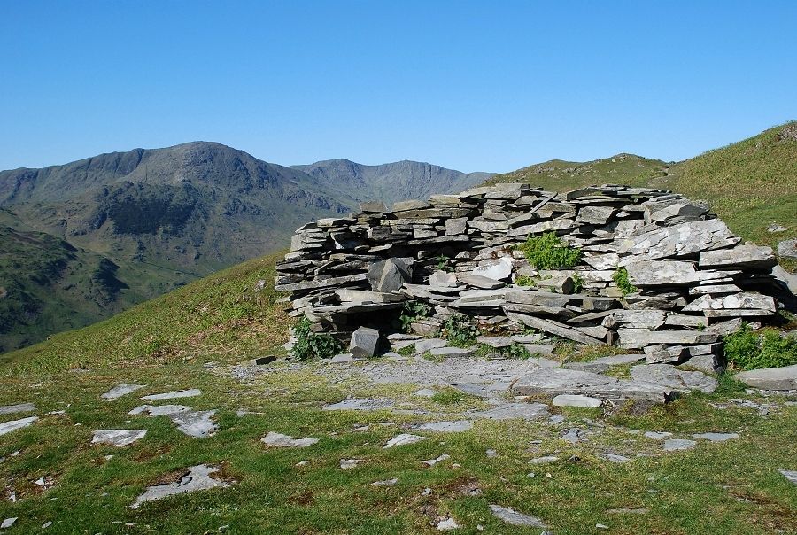
| The summit cairn lies over the fence which is crossed by a rickety stile |
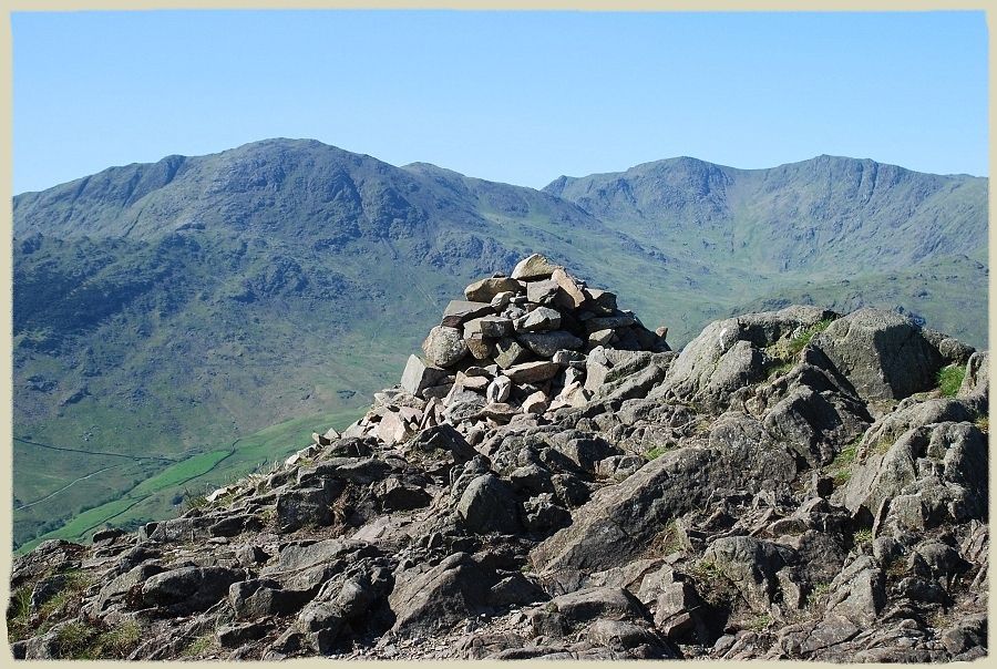 |
| The Coniston Fells from the summit cairn. AW only depicted them in outline in his drawing. Lingmoor Fell - page 8 |
 |
| Looking back along the ridge to Windermere |
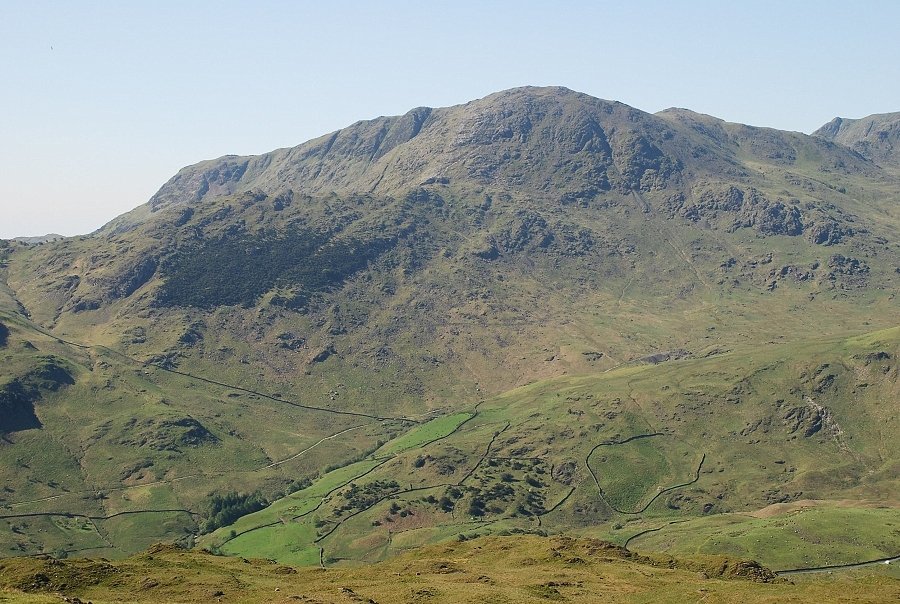 |
| Wetherlam across Little Langdale |
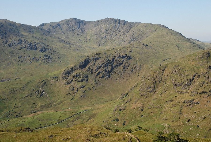 |
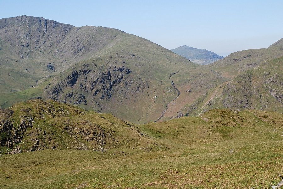
| Swirl How and Great Carrs above the Wrynose Pass road |
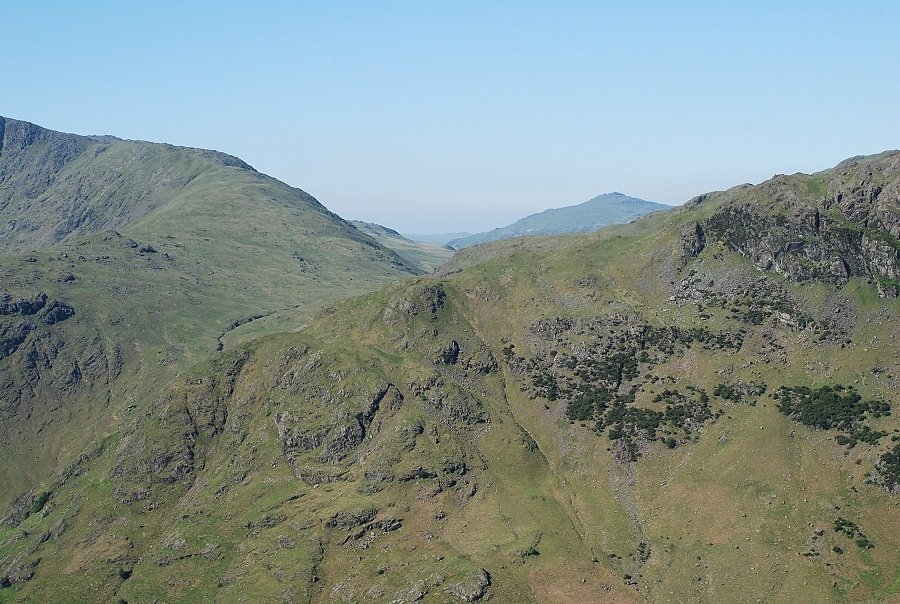 |
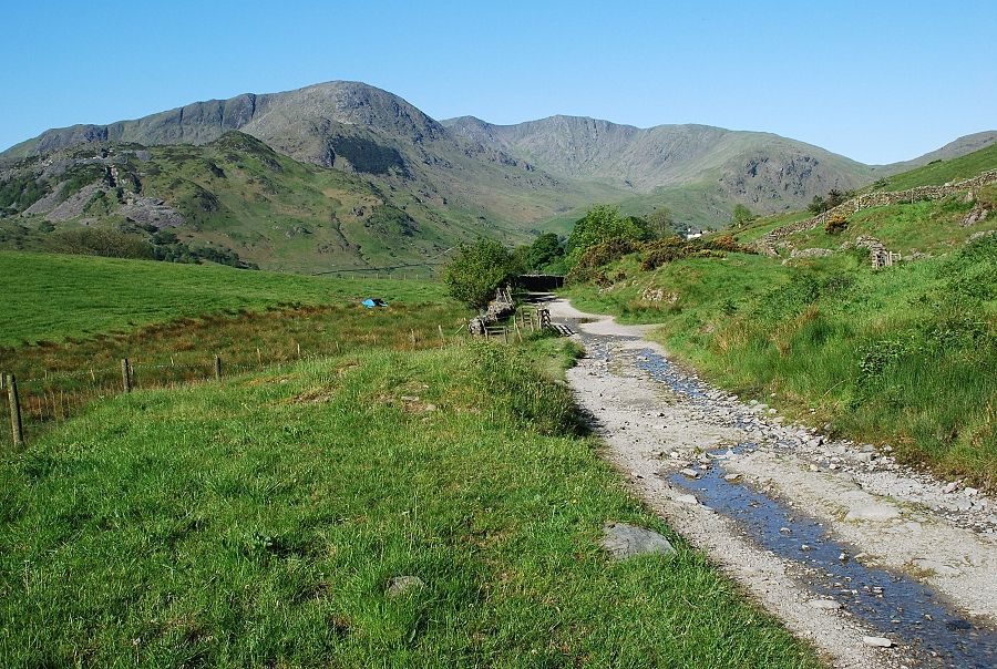
| Harter Fell beyond Wrynose Pass |
 |
| Cold Pike and Pike o' Blisco |
 |
| Crinkle Crags above Kettle Crag |
 |
| Bowfell |
 |
| On the left skyline, Great End, Allen Crags and the ridge leading to Glaramara with Pike o' Stickle and Loft Crag to the right |
 |
| The Langdale Pikes |
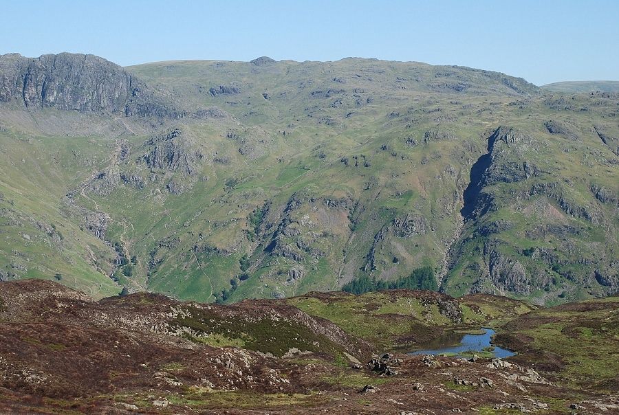 |
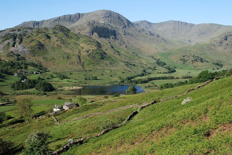
| The rounded top of Sergeant Man to the right of Pavey Ark. Lingmoor Tarn in the foreground |
 |
| The Helvellyn range over the Blea Rigg ~ Silver How ridge |
 |
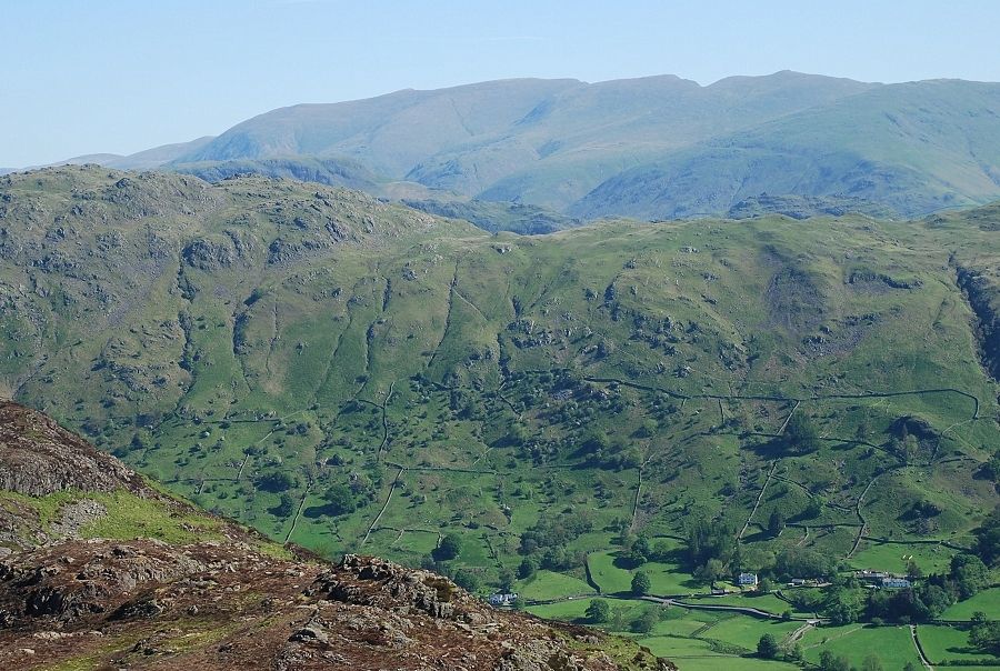
| Fairfield over the Blea Rigg ~ Silver How ridge |
 |
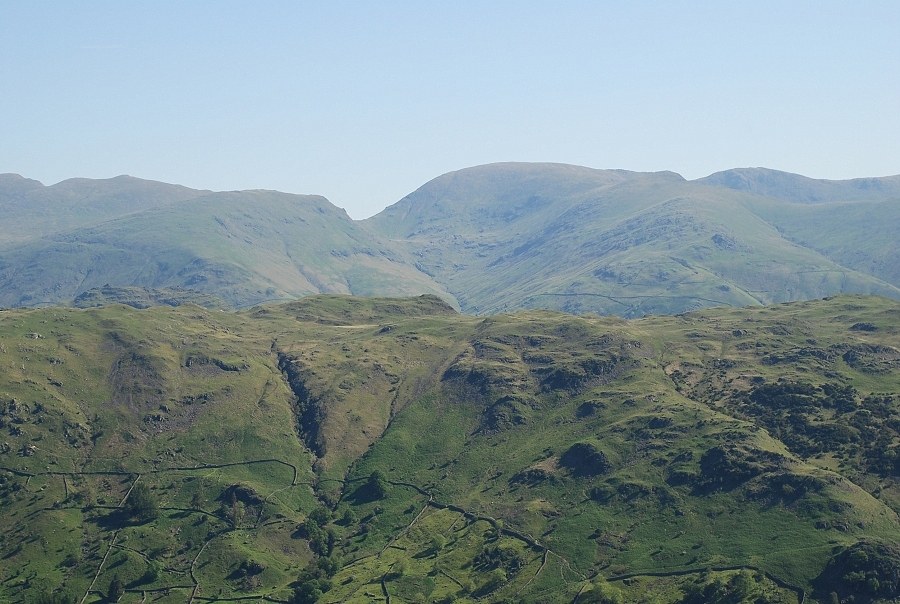
| Red Screes and Ill Bell on the horizon |
