 |
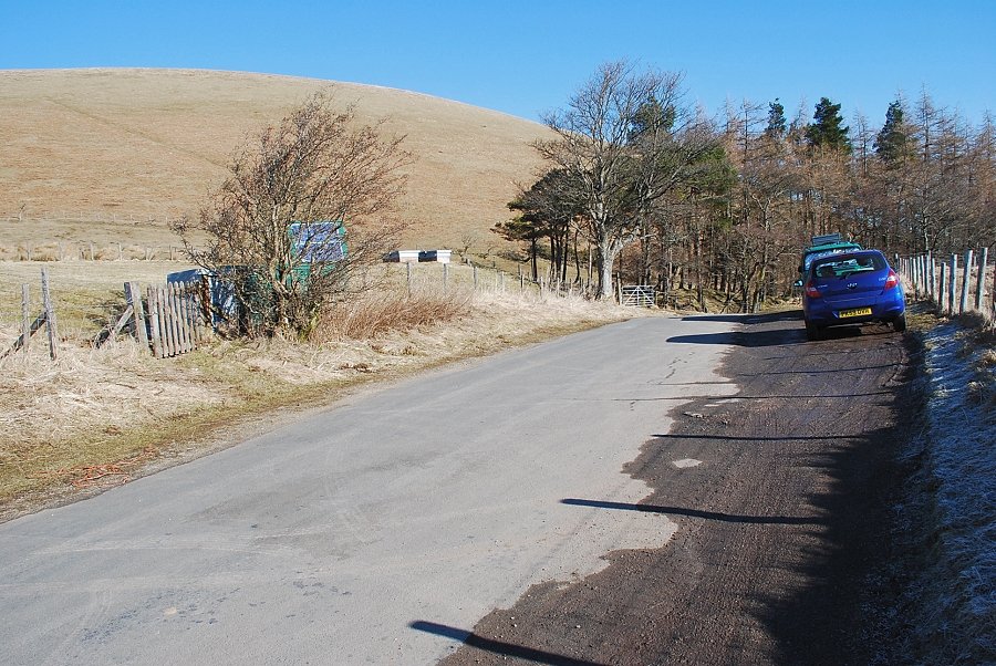
| The Hause, the highest point of the minor road between Matterdale End and Watermillock |
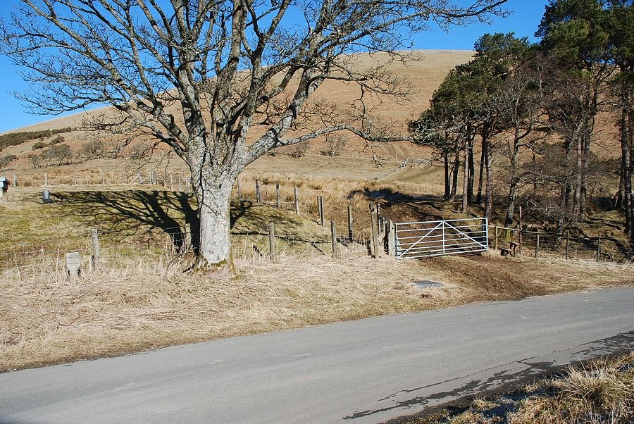 |
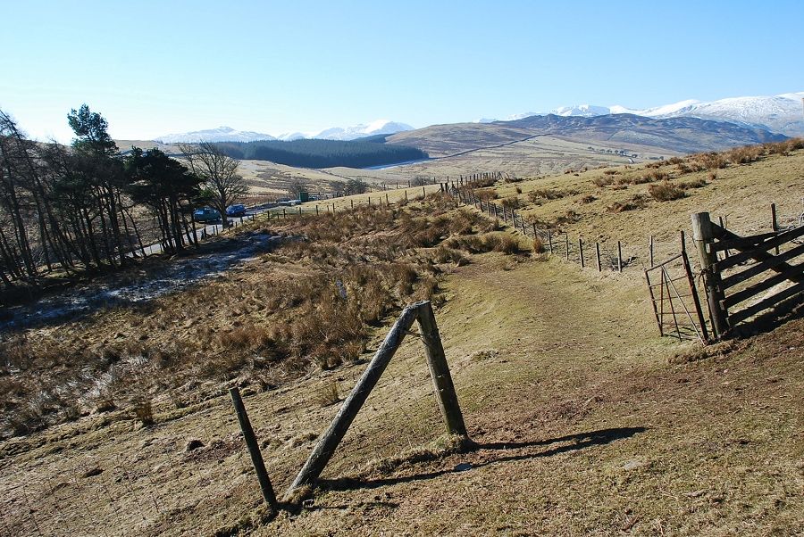
| A gate beside a fenced and covered reservoir gives access to a small field |
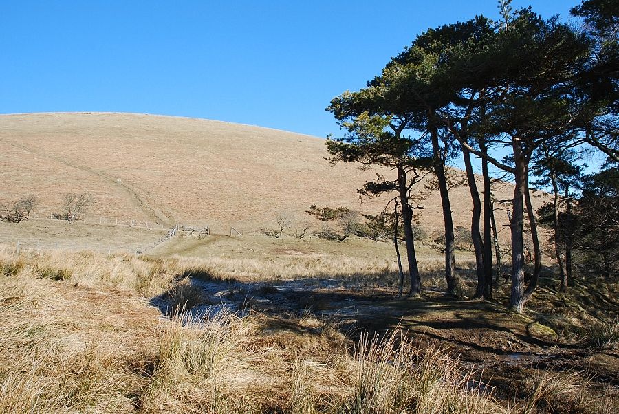 |
| Crossing the field, a bit boggy in places, to another gate and onto the open fellside |
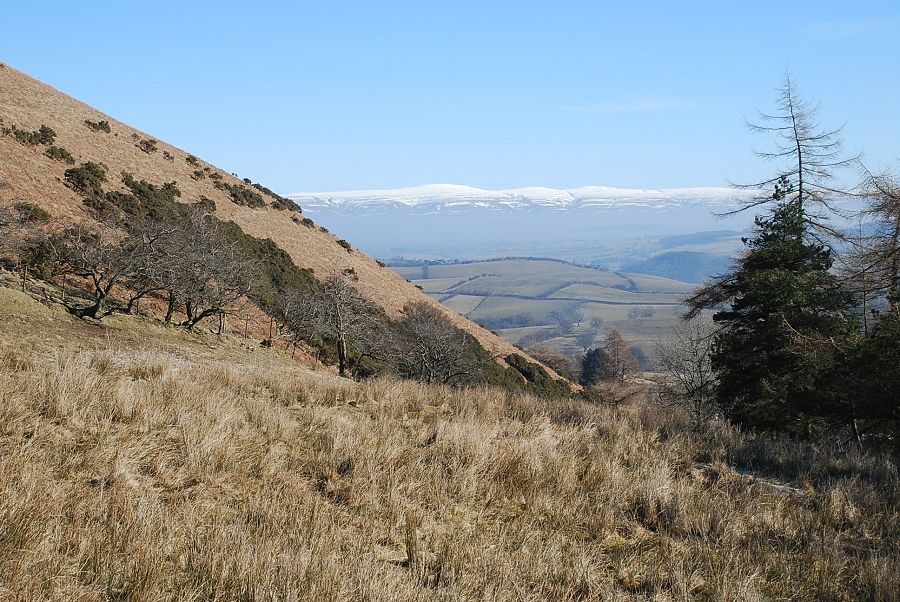 |
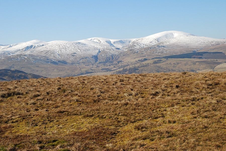
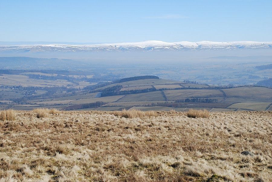
| Looking across to the Pennines |
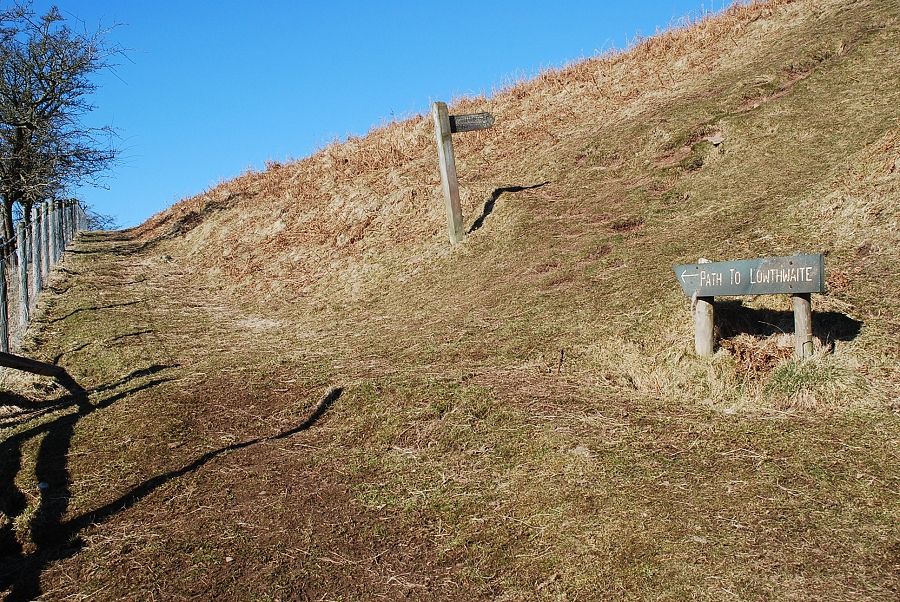 |
| A fingerpost indicates the path to the summit |
 |
| Looking back to The Hause from the start of the climb |
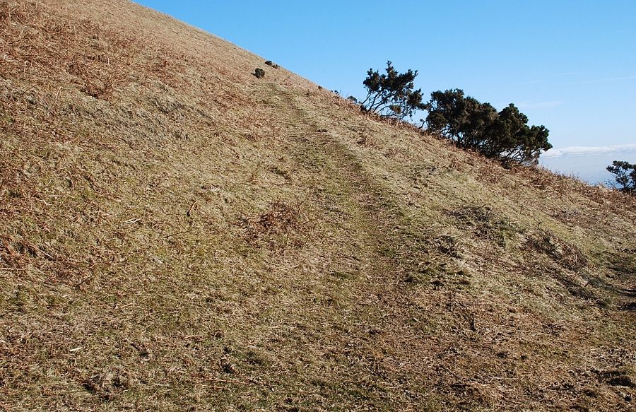 |
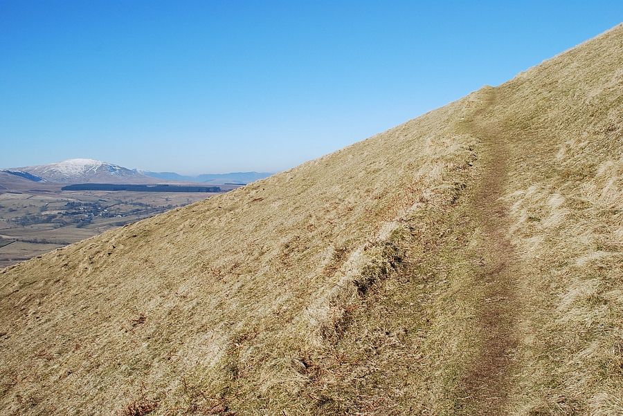
| A grooved path heads directly up the slope but it's easier to follow a graded path to the right which soon turns back and joins the grooved path at a higher level above its initial steep section |
 |
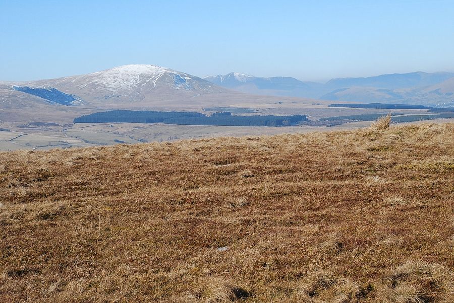
| Looking to Great Dodd and Clough Head |
 |
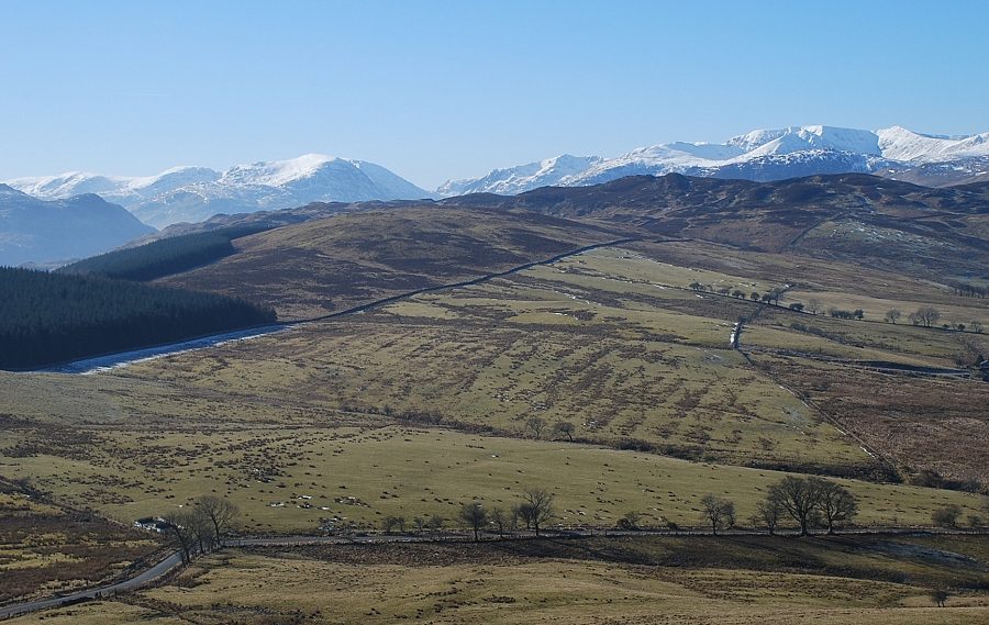
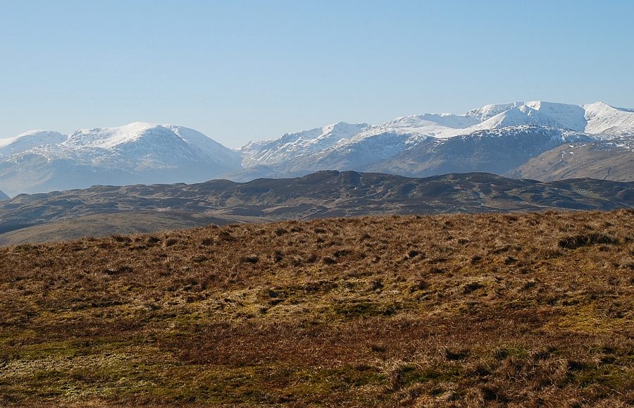
| The Far Eastern Fells |
 |
| Fairfield and Helvellyn |
 |
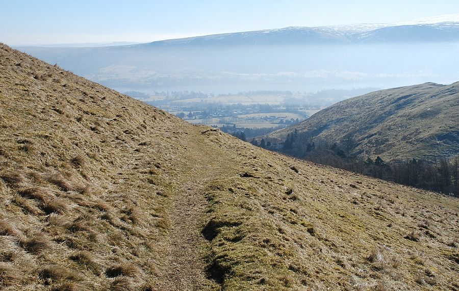
| The path eventually joins a shepherd's path which makes a rising traverse across the southern slopes of the fell |
 |
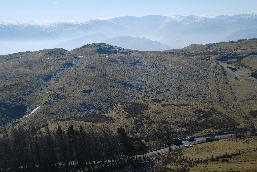
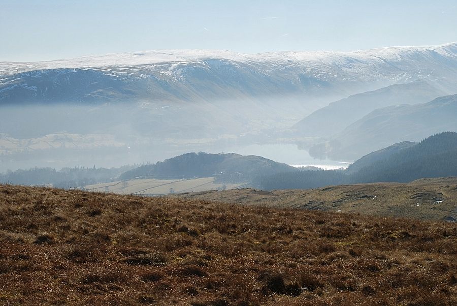
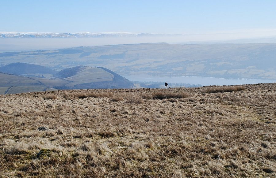
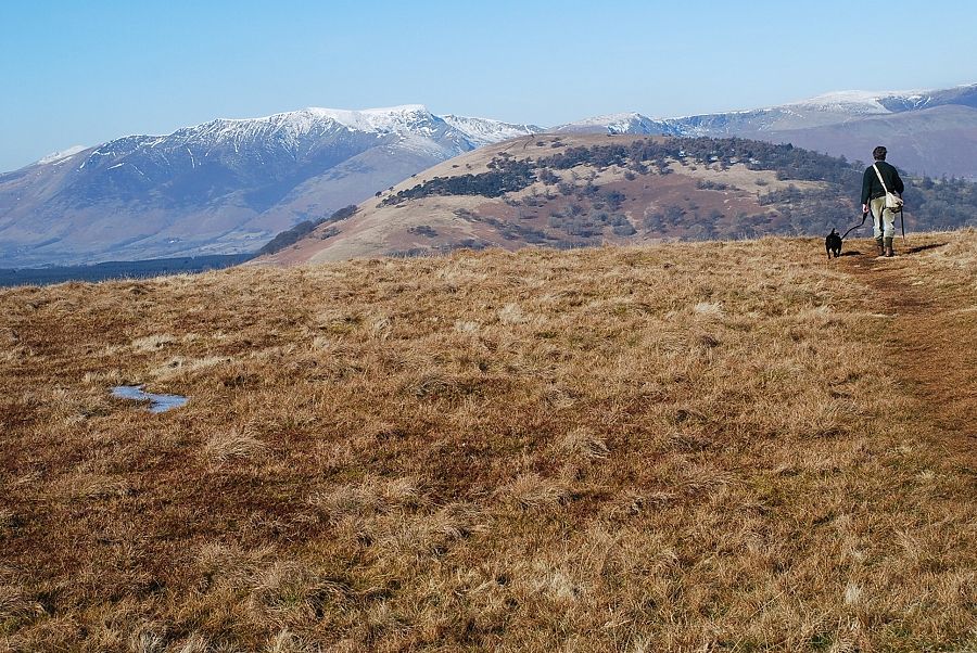
| Looking back along the shepherd's path to Arthur's Pike above a mist shrouded Ullswater |
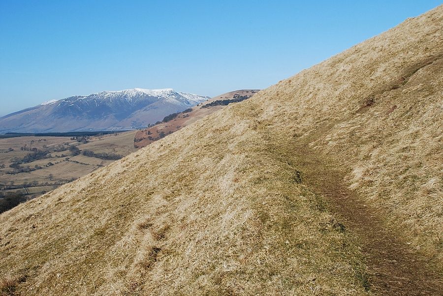 |
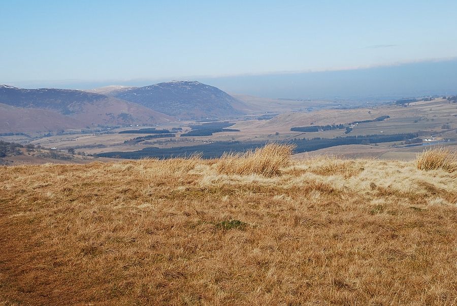
| Blencathra comes into view as a path breaks off right towards the upper slopes of the fell . . . |
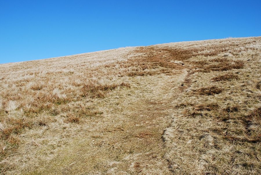 |
| . . . and leads directly to the summit |
 |
| Looking back to Ullswater from the upper slopes |
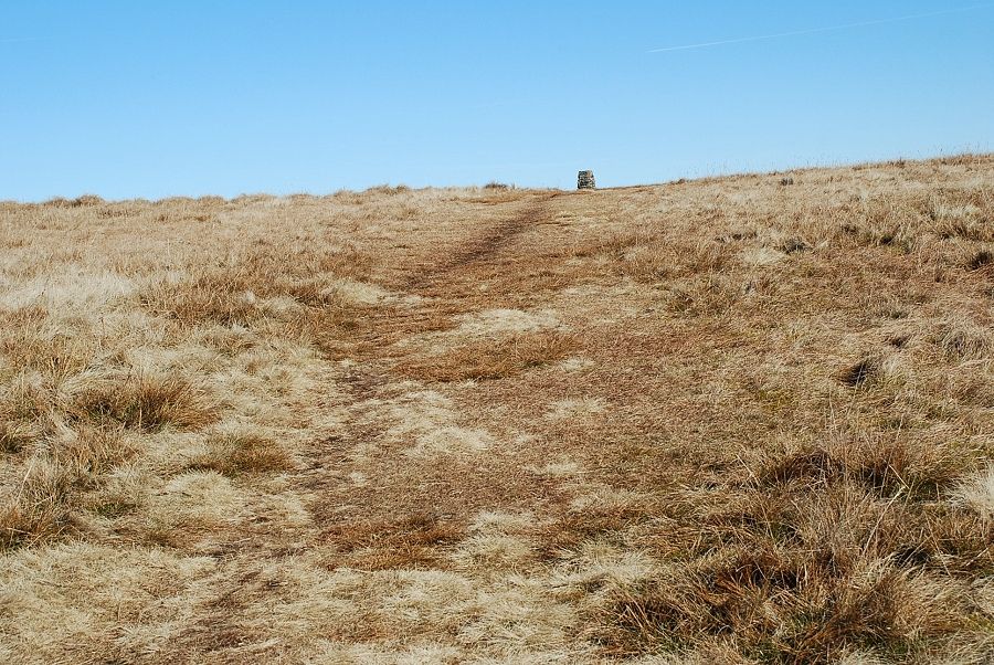 |
| The summit trig column soon comes into view |
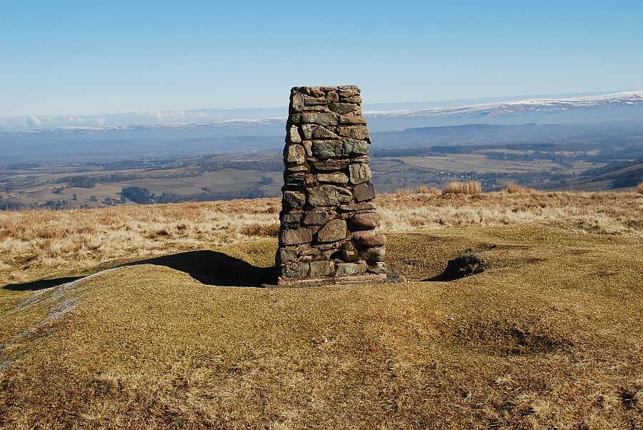 |
| The summit of Little Mell Fell |
 |
| Ullswater from the summit of Little Mell Fell |
 |
| Looking south to Place Fell in the middle distance |
 |
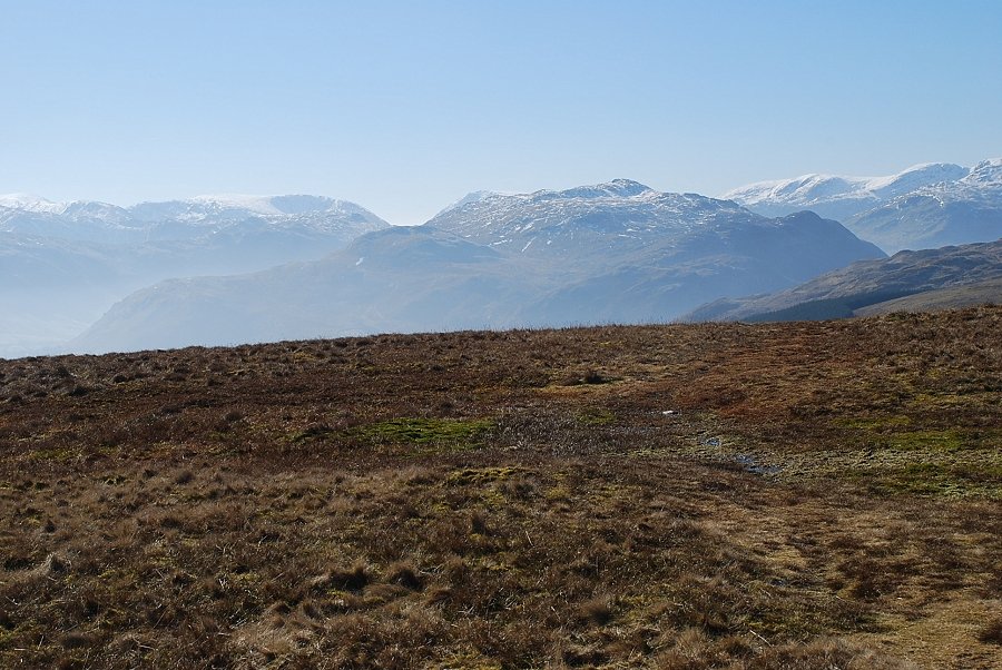
| Hart Crag and Fairfield on the left and Helvellyn on the right |
 |
| Raise, Hart Side, Stybarrow Dodd and Great Dodd |
 |
| Clough Head and Grisedale Pike |
 |
| Blencathra and Great Mell Fell |
 |
| Carrock Fell |
 |
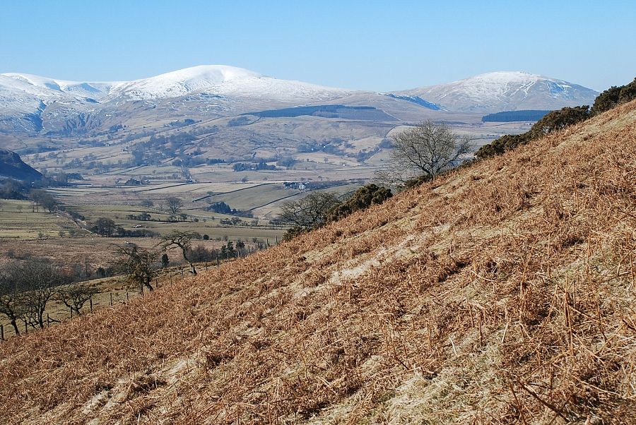
| The Pennines across the Eden Valley |
