 |
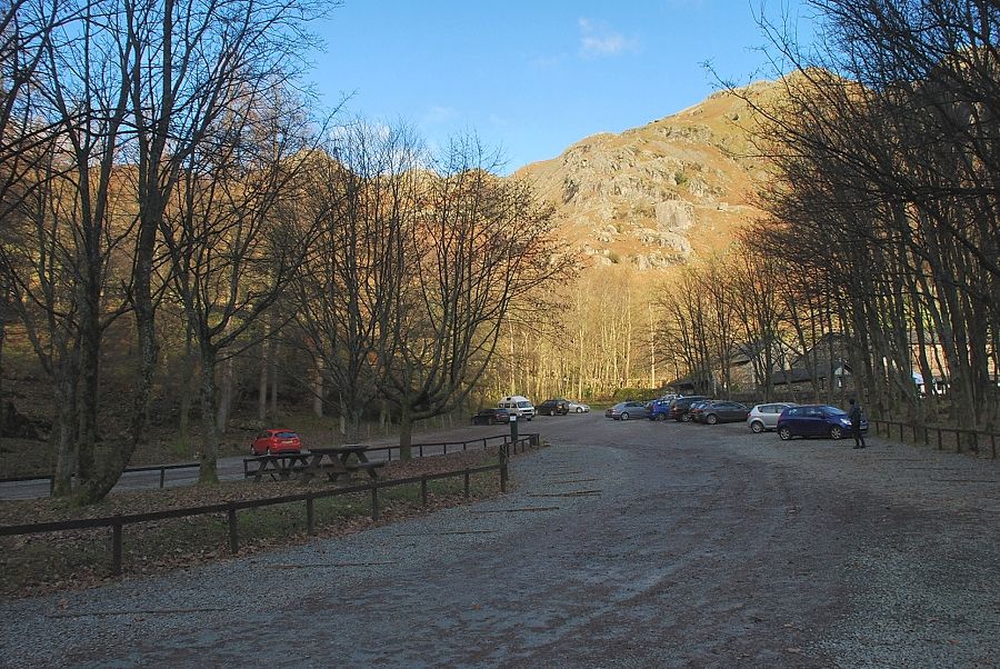
| The National Trust Stickle Ghyll car park is the starting point for this walk |
 |
| The Stickle Ghyll path starts from the information shelter at the top of the car park |
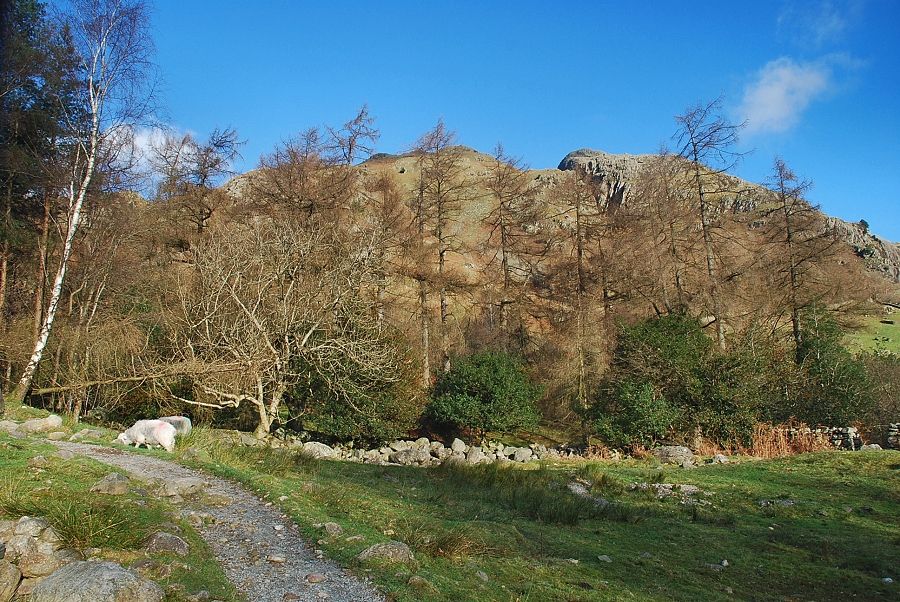 |
| Whitegill Crag from the Stickle Ghyll path |
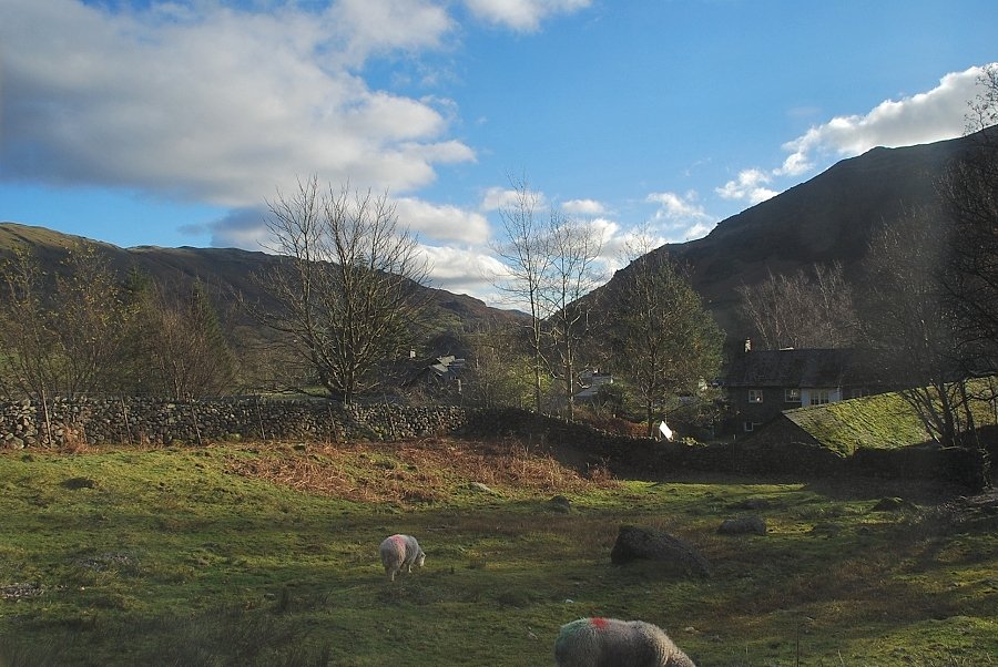 |
| Looking back to the New Dungeon Ghyll Hotel |
 |
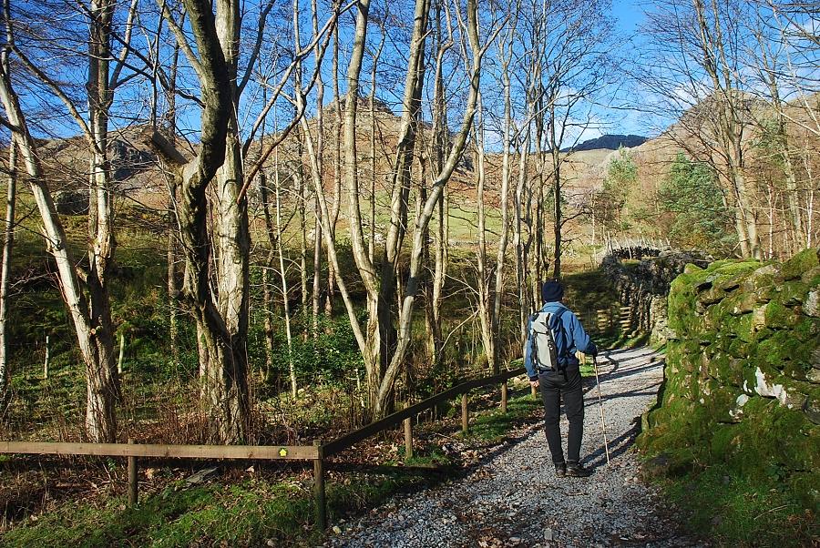
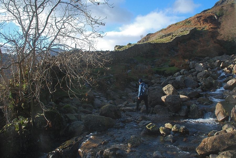
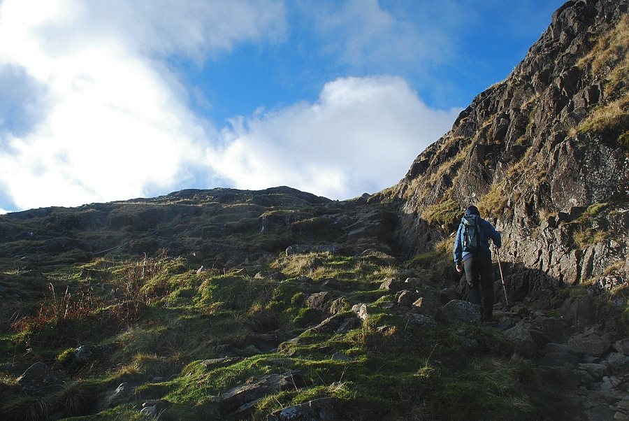
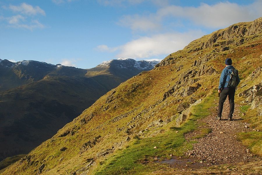
| The Stickle Ghyll path is only followed for a short distance before taking an eroded path which is part of the Cumbria Way |
 |
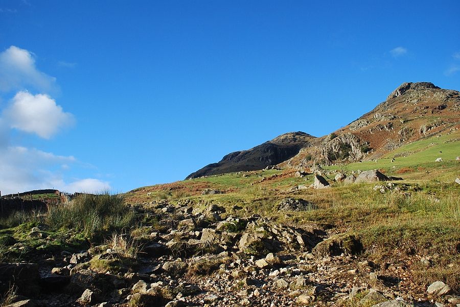
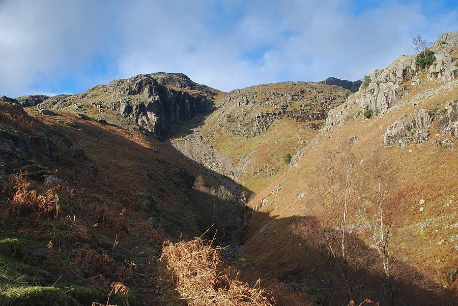
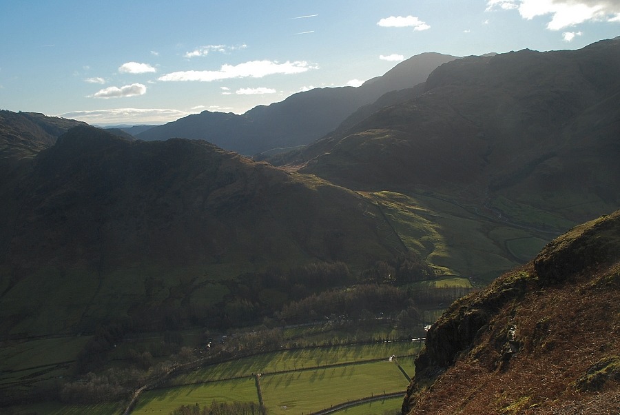
| The top of Pavey Ark appears over the head of Stickle Ghyll which is flanked by Pike Howe on the left and Tarn Crag on the right |
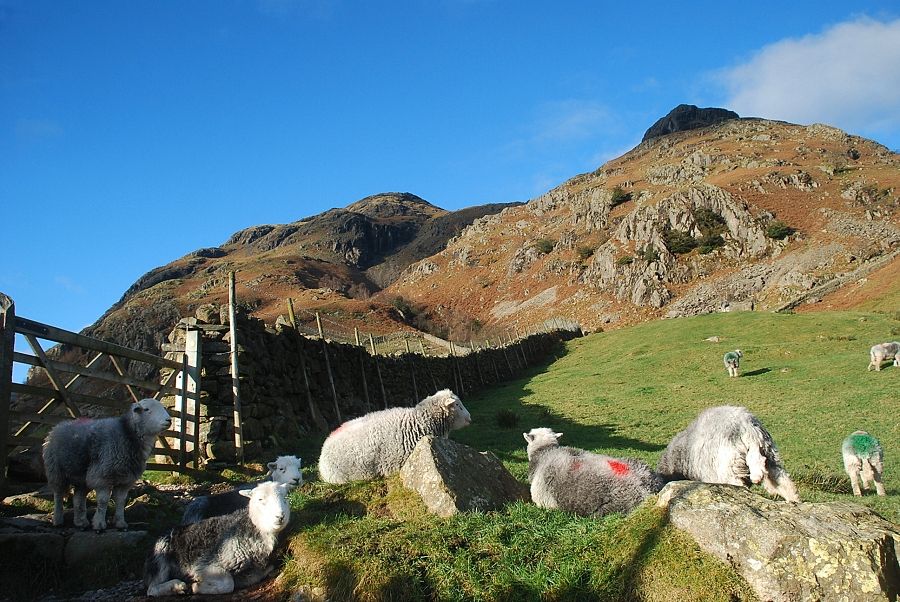 |
| The path rises to meet a gate in the intake wall |
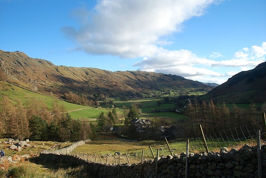 |
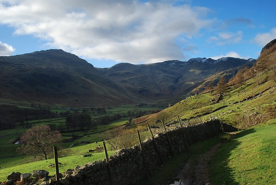
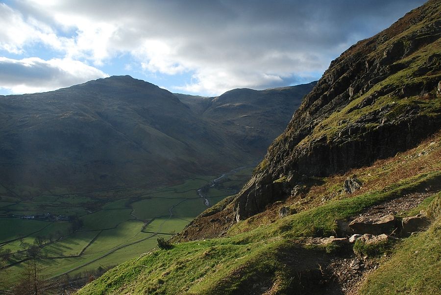
| Looking back to Great Langdale from the gate in the intake wall |
 |
| The main path continues on towards the Old Dungeon Ghyll Hotel and Mickleden |
 |
| The ascent path turns right and follows the wall towards Dungeon Ghyll |
 |
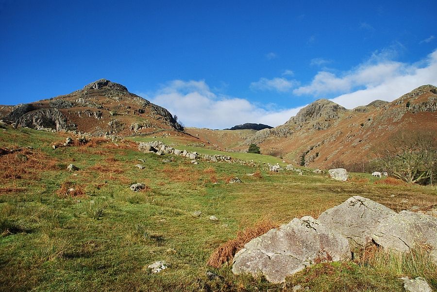
| Looking towards Pike Howe and Tarn Crag |
 |
| The path reaches a stile in the intake wall and then turns left, descending to cross Dungeon Ghyll |
 |
| The Mark Gate path starts at the ford over Dungeon Ghyll |
 |
| Looking back to Great Langdale from the Mark Gate path |
 |
| Pike o' Blisco from the Mark Gate path |
 |
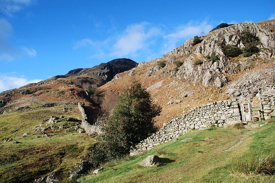
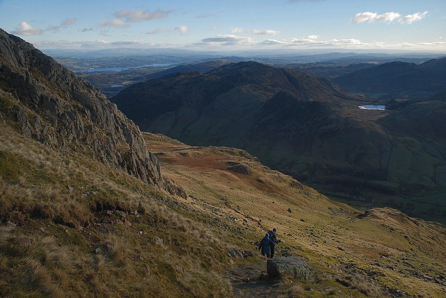
| The path climbs the ridge above the western side of Dungeon Ghyll although it generally keeps well away from its edge ........ |
 |
| ...... there are a few places where it is possible to look down into the gill |
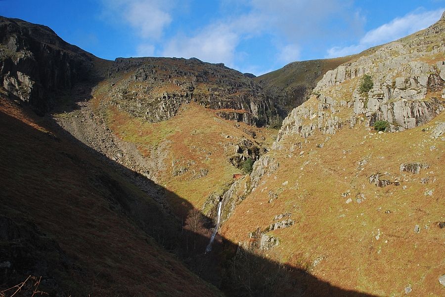 |
| The middle section of Dungeon Ghyll from Mark Gate |
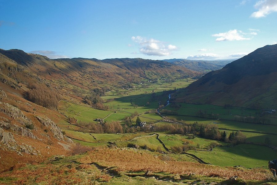 |
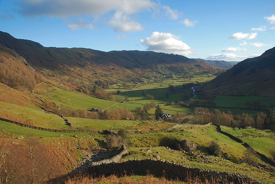
| Great Langdale from Mark Gate |
 |
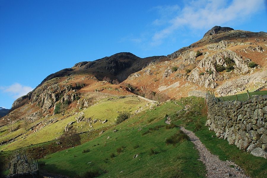
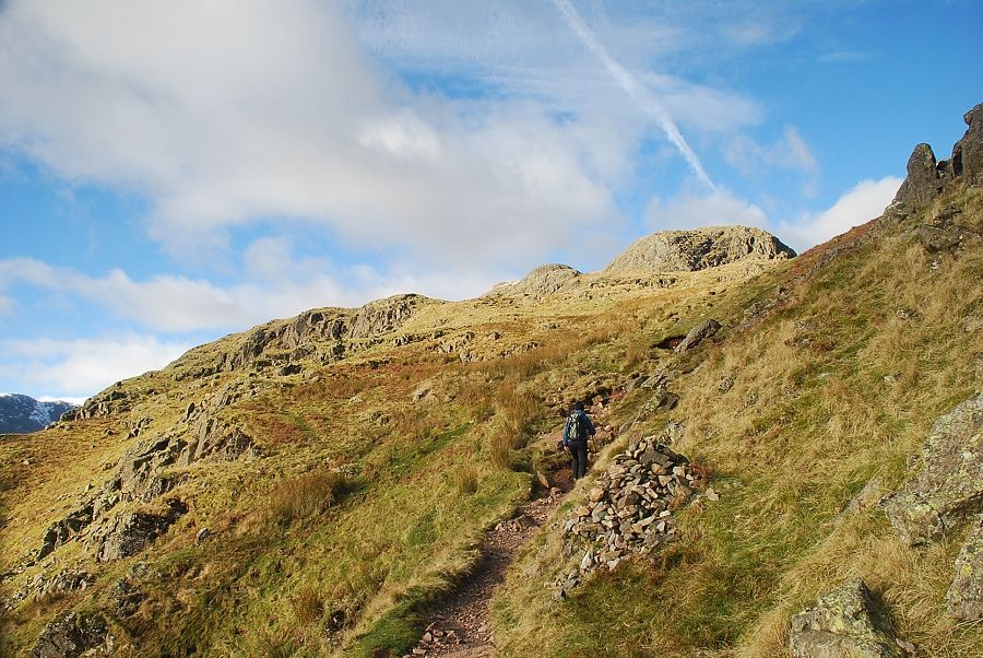
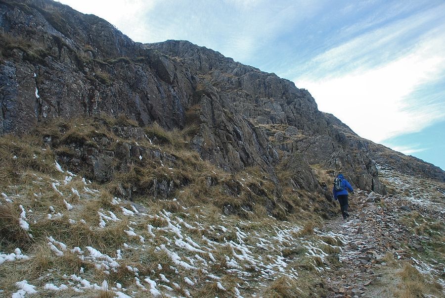
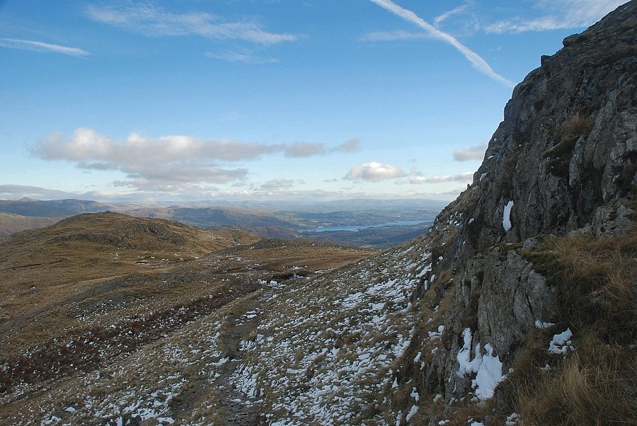
| Higher up the path threads its way amongst the rocky outcrops above Raven Crag |
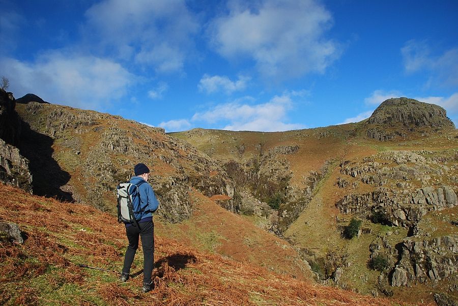 |
| Looking across Dungeon Ghyll to Pike Howe |
 |
| Looking across to Pike o' Blisco |
 |
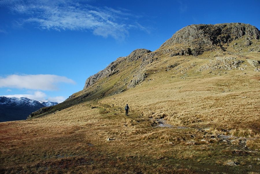
| The line of the path is always obvious being well marked by cairns as it winds between the crags |
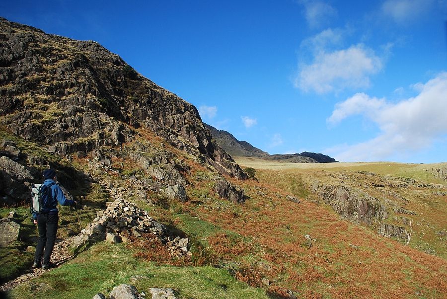 |
| A large marker cairn indicates a sharp turn to the left to avoid a steep crag where there is a glimpse of the top of Pavey Ark across the head of the gill |
 |
| Looking across to Side Pike, Wetherlam and Blake Rigg |
 |
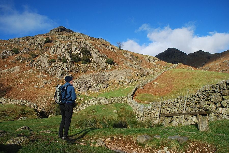
| Traversing below the steep crag to reach a level shoulder on its southern side |
 |
| Lingmoor Fell and Side Pike from the level shoulder |
 |
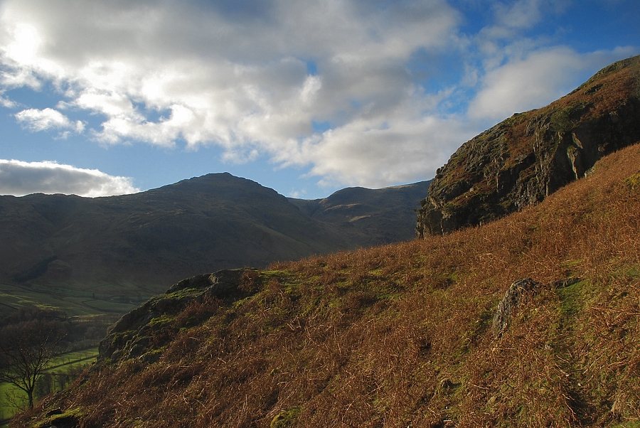
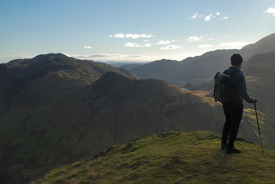
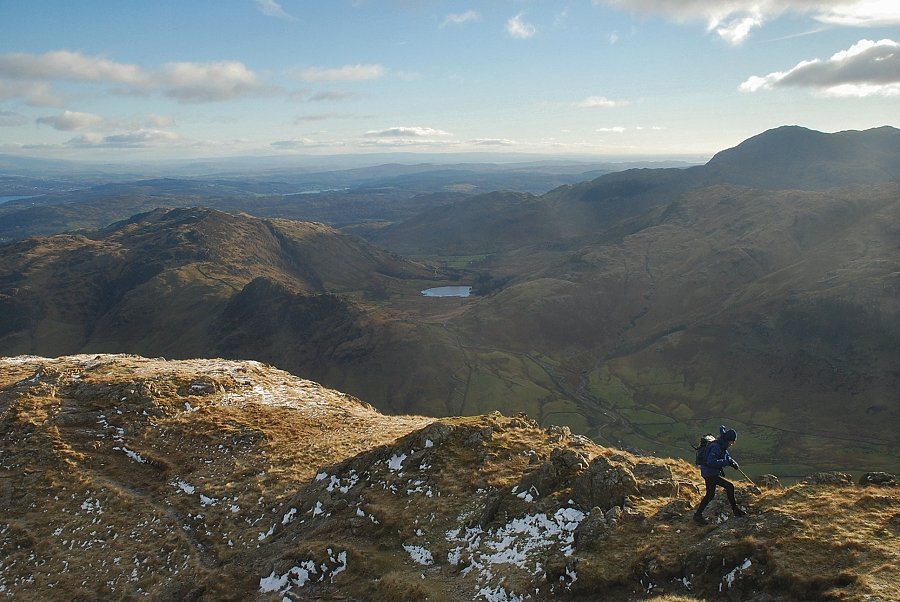
| Looking over to Crinkle Crags from the level shoulder |
 |
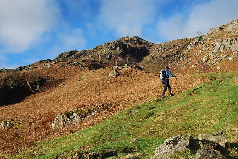
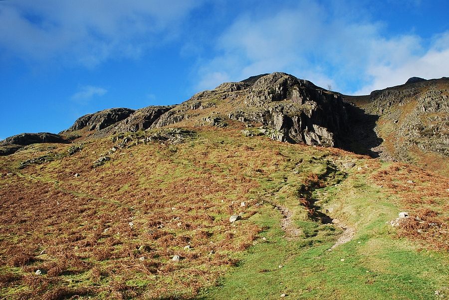
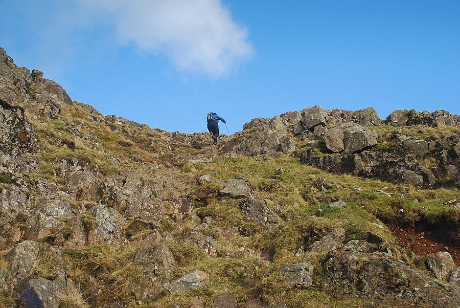
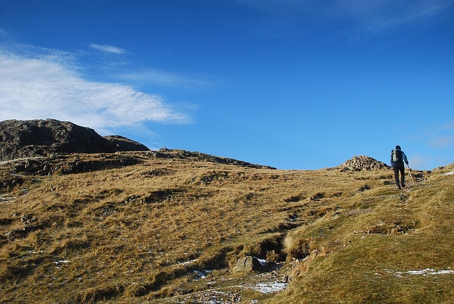
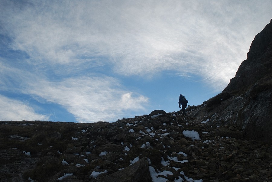
| The path continues on from the level shoulder and the gradient eases as it climbs towards the top of the crags |
 |
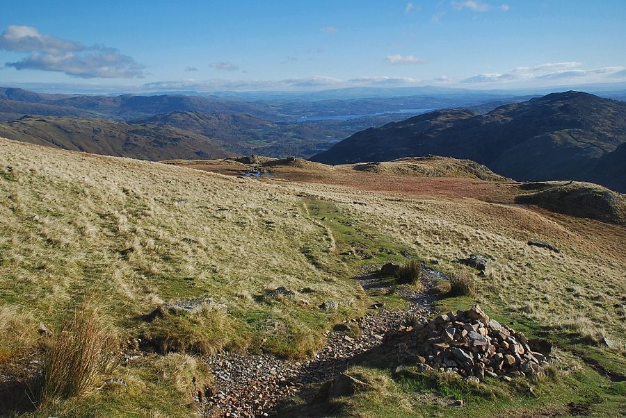
| The summit of Loft Crag comes into view as the path approaches a wide grassy saddle at the top of the crags |
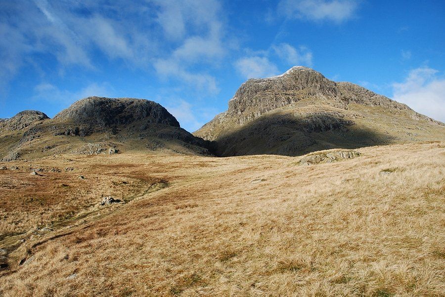 |
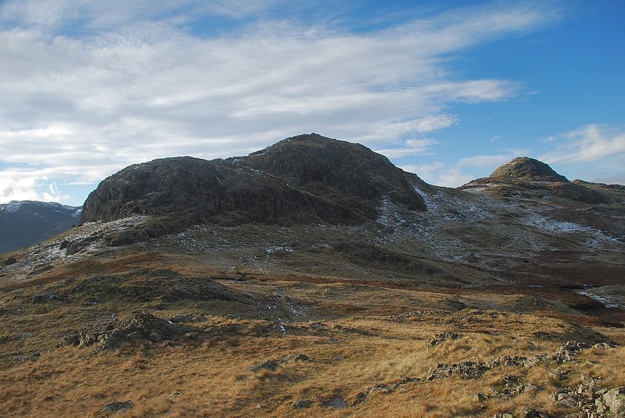
| Loft Crag, Thorn Crag and Harrison Stickle from the top of the crags |
 |
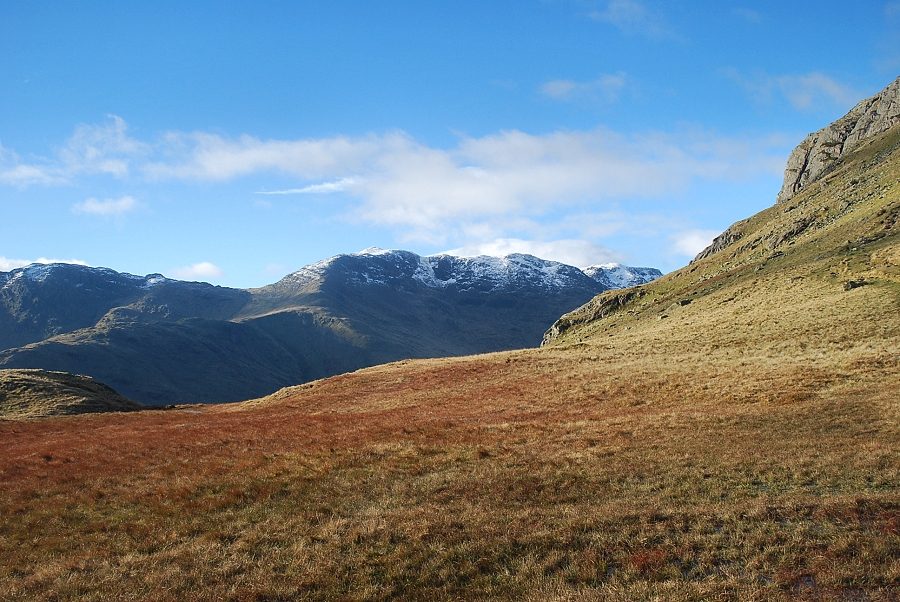
| Looking over to the snow-capped summit of Fairfield above the Blea Rigg ridge |
 |
| The path turns left, crossing a boggy section and climbing to the narrow col between Loft Crag and Thorn Crag |
 |
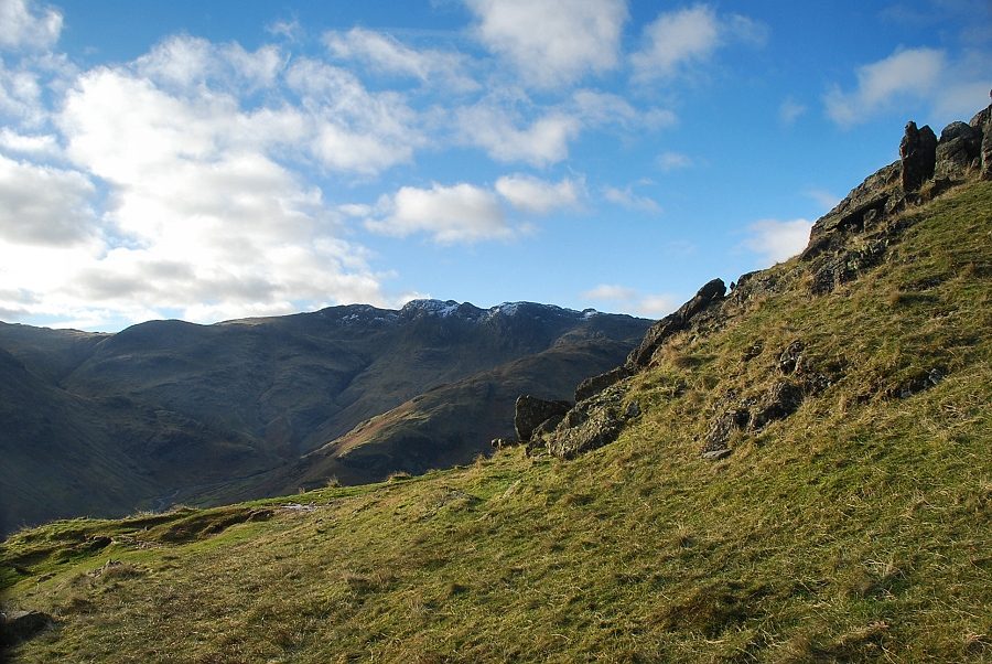
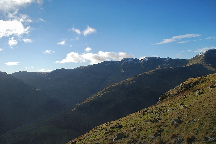
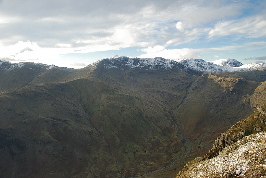
| Looking over to Bowfell with the steep profile of Gimmer Crag on the right |
 |
| Looking back from the marker cairn which indicates the start of the climber's traverse to Gimmer Crag |
 |
| Looking over to Crinkle Crags from the climb to the col between Loft Crag and Thorn Crag |
 |
| Looking back from the steep climb to the col |
 |
| Approaching the col between Loft Crag and Thorn Crag |
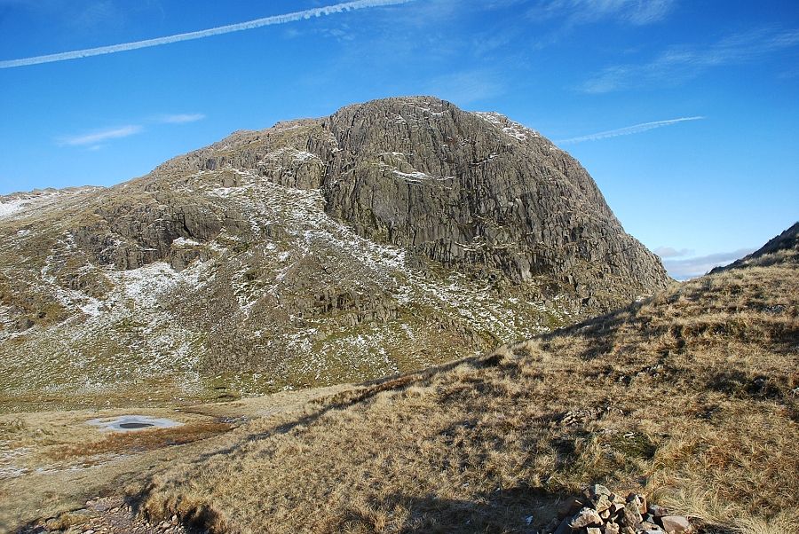 |
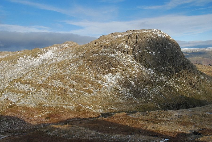
| Harrison Stickle from the col, the summit of Thorn Crag lies a short distance to the right above a simple grass slope |
 |
| Harrison Stickle from the summit of Thorn Crag, the south-eastern cairn on the right provides a better viewpoint |
 |
| Windermere from the summit of Thorn Crag |
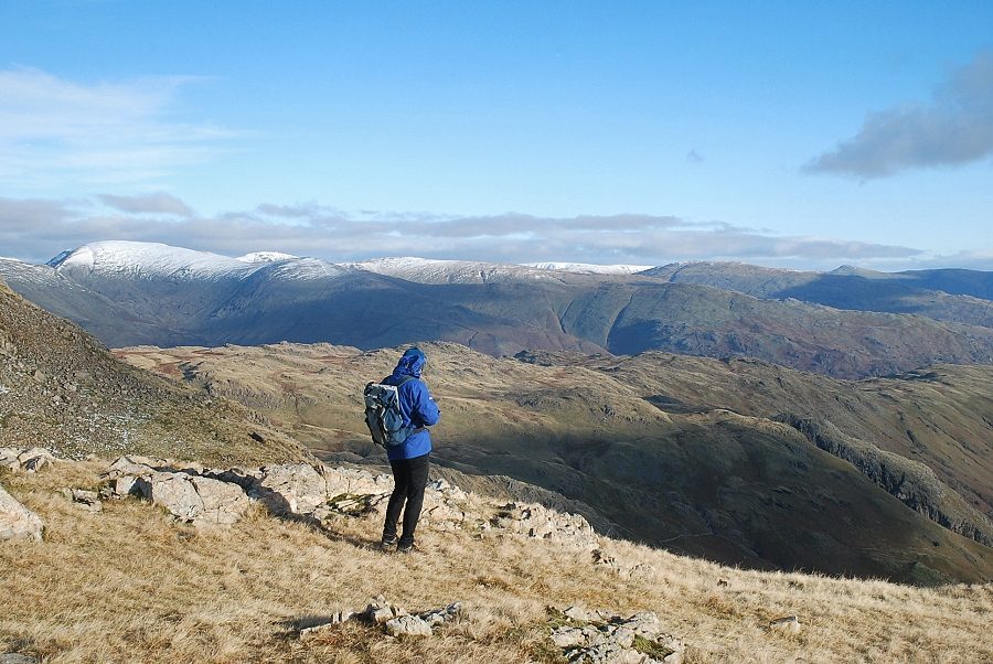 |
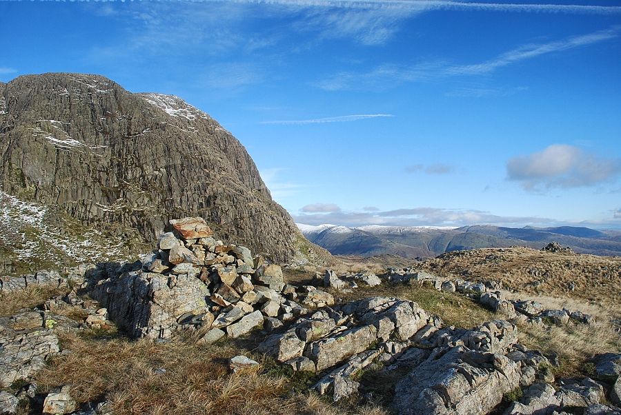
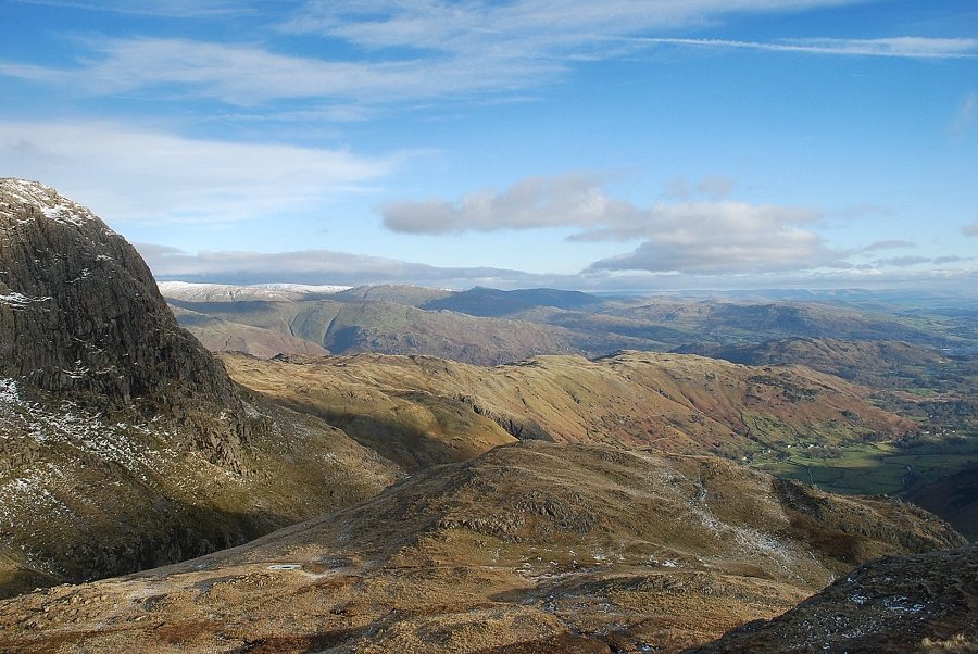
| Looking east from the summit of Thorn Crag. Fairfield, Hart Crag, Dove Crag, High Street, Red Screes, Ill Bell and Yoke form the horizon |
 |
| Loft Crag and Pike o' Stickle from the summit of Thorn Crag. A clear path traverses across to the col between Loft Crag and Pike o' Stickle although it's usual to reach the summit of Loft Crag by the rake, seen here in the centre of the photo between the subsidiary top and the summit |
 |
| Traversing below the subsidiary summit of Loft Crag |
 |
| Looking back to the summit of Thorn Crag from the traversing path |
 |
| The top of the rake between the subsidiary top and the summit of Loft Crag |
 |
| Approaching the summit of Loft Crag |
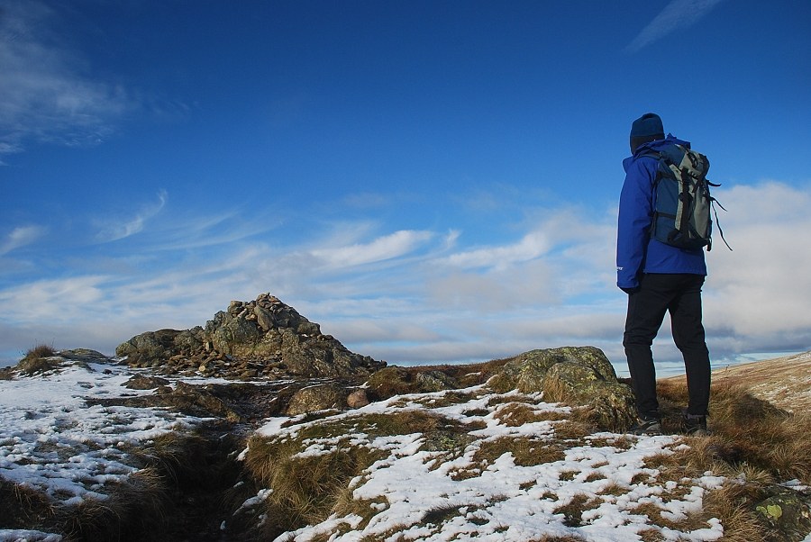 |
| The summit cairn on Loft Crag |
 |
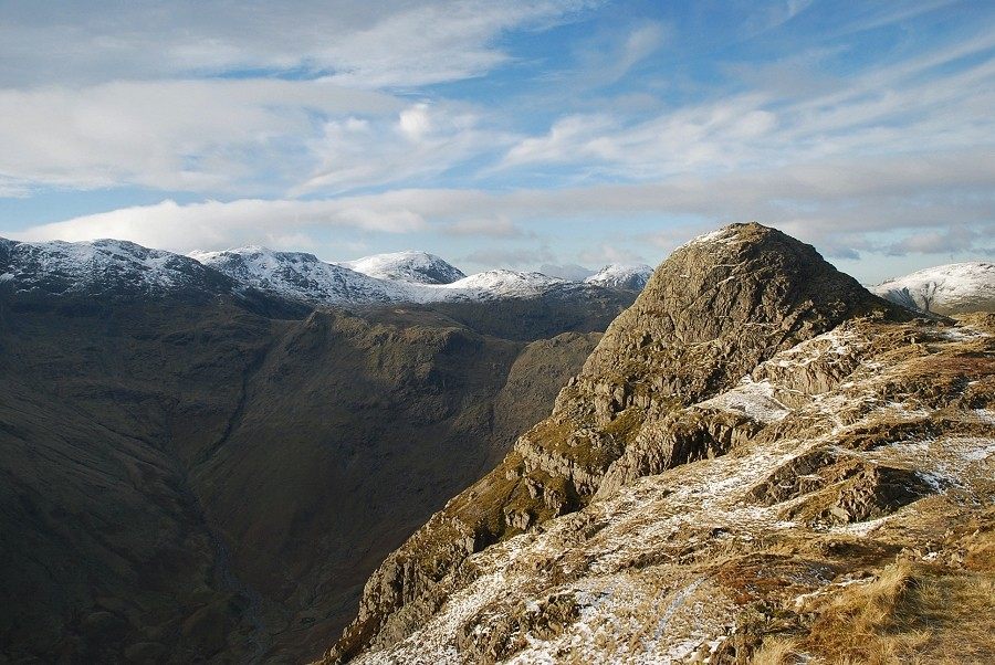
| Bowfell across Mickleden from the summit of Loft Crag |
 |
| Pike o' Stickle from the summit of Loft Crag |
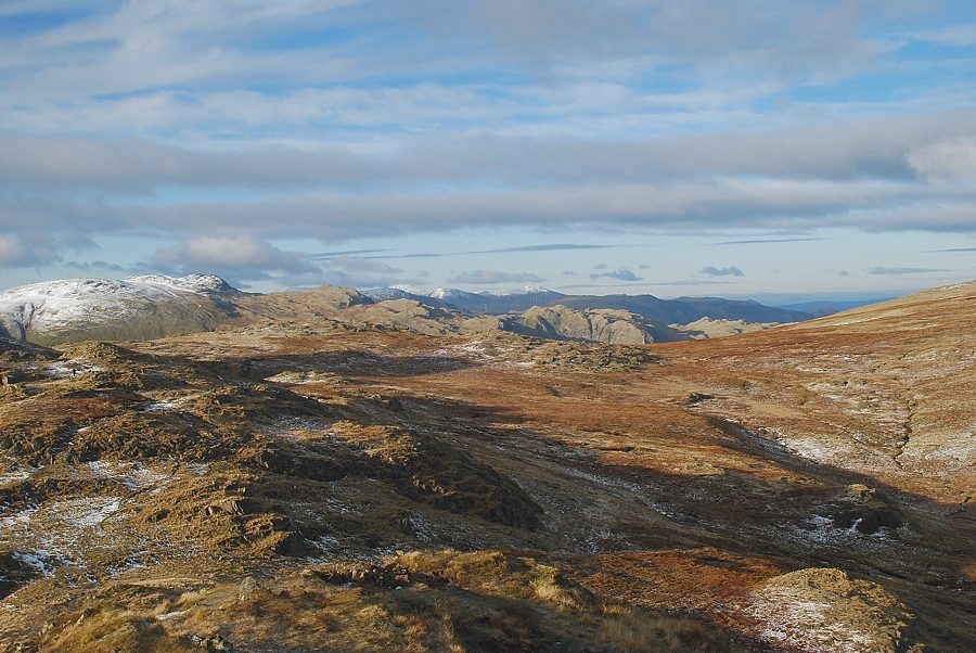 |
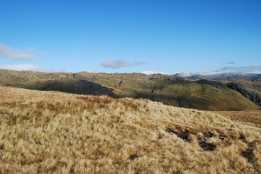
| Looking north-west from the summit of Loft Crag to Grasmoor and Grisedale Pike on the centre horizon with the summit of Glaramara on the left |
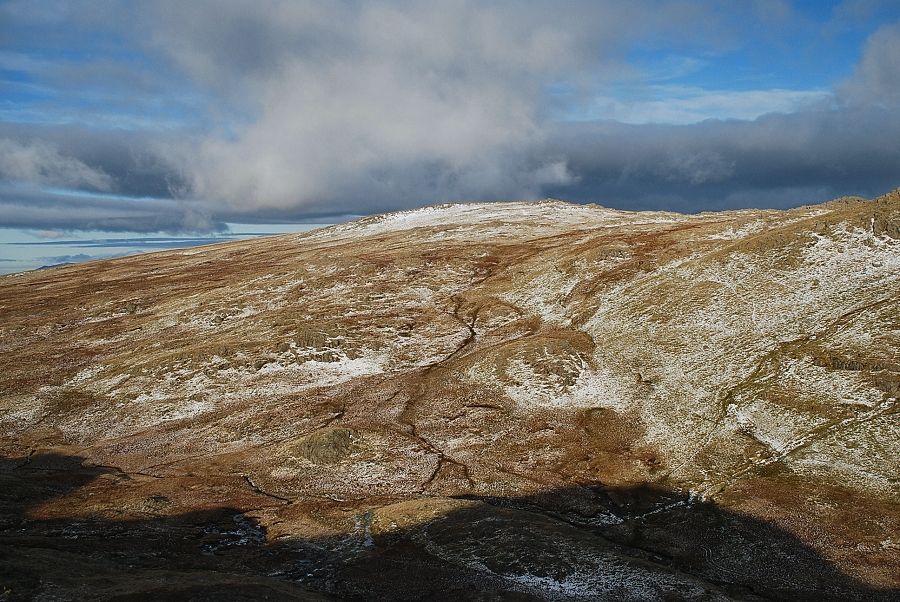 |
| Thunacar Knott across Harrison Combe |
 |
| Harrison Stickle from the summit of Loft Crag |
 |
| Looking east from the summit of Loft Crag |
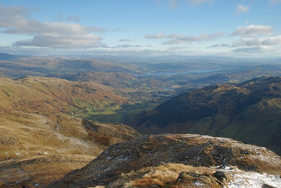 |
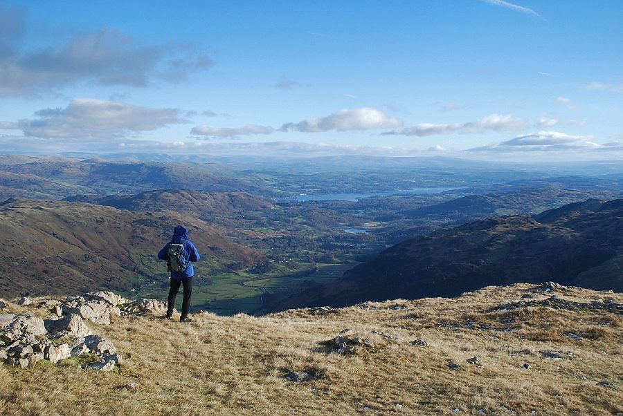
| Windermere from the summit of Loft Crag |
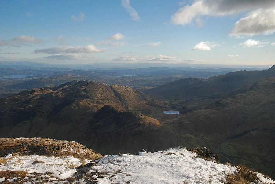 |
| Lingmoor Fell and Blea Tarn from the summit of Loft Crag |
