 |
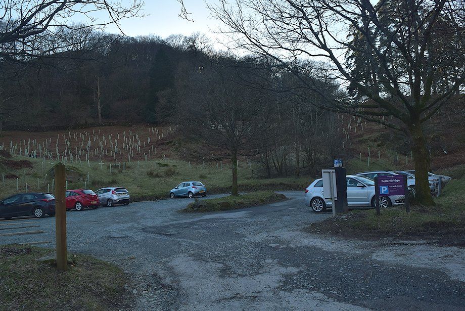
| The small LDNP car park at Pelter Bridge is the starting point for this walk |
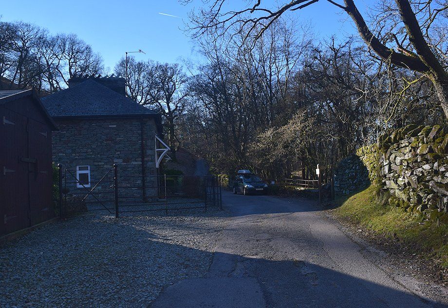 |
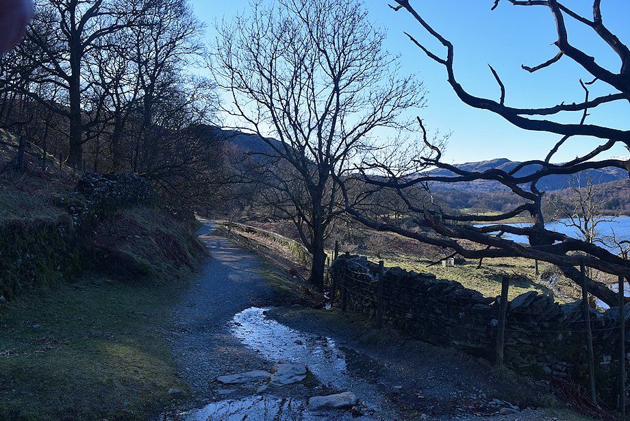
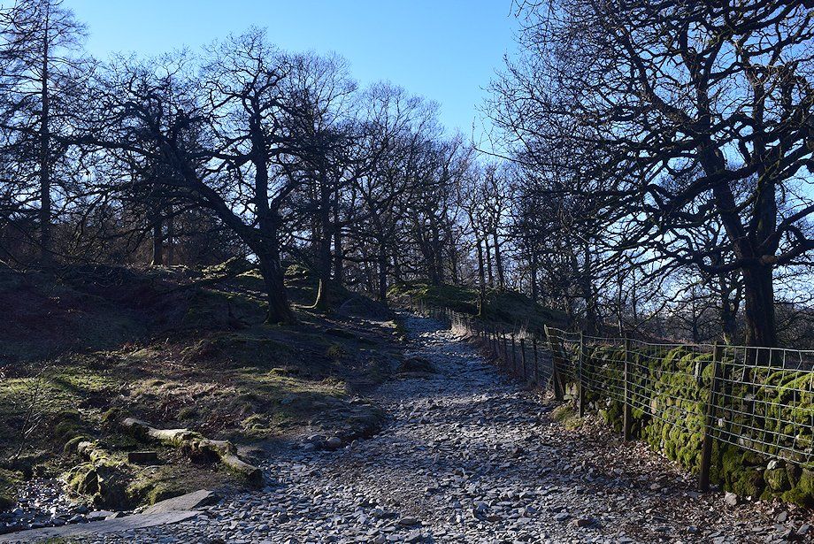
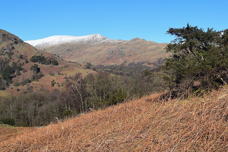
| The surfaced road leads up to the Steps End cottages. Beyond the cottages a walled rough track (bridleway) leads on through Rough Intake Wood |
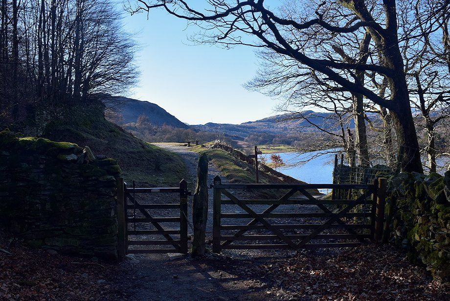 |
| Two hundred yards beyond Steps End the bridleway passes through a gate and descends to the shore of Rydal Water. An old quarry track continues on at a higher level above the lake alongside Rough Intake Wood |
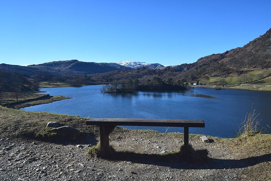 |
| A bench with a view ! |
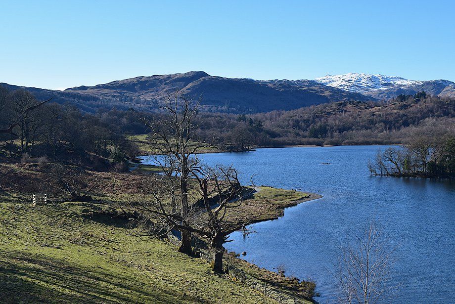 |
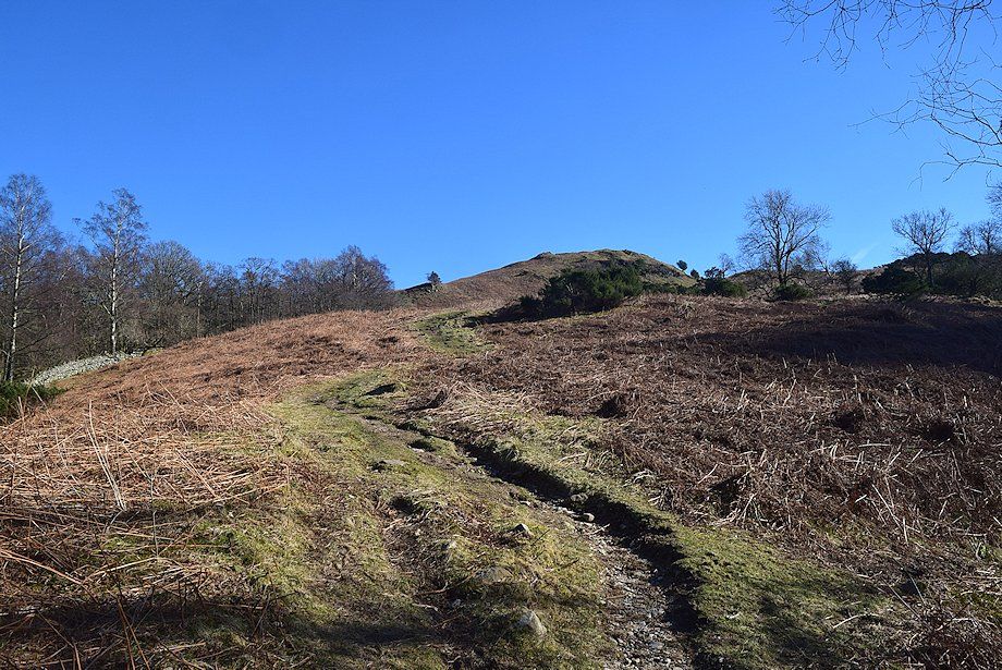
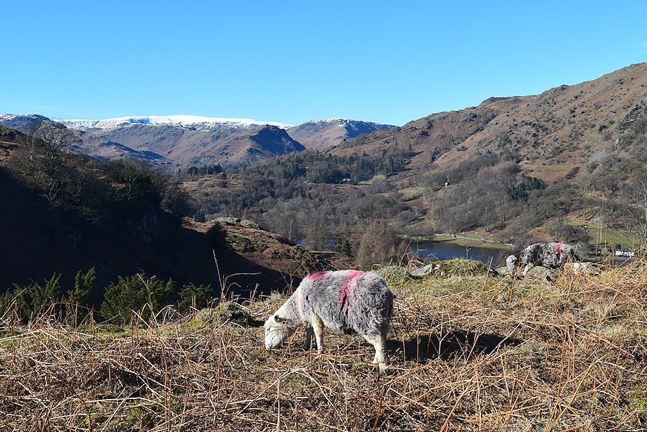
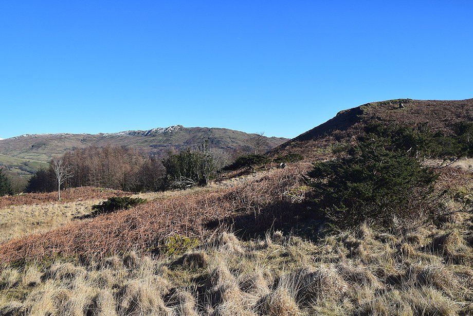
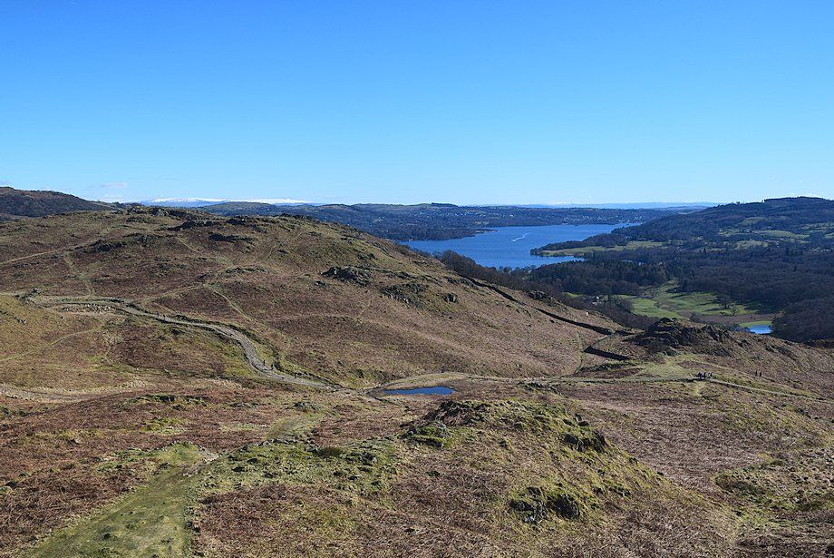
| Silver How from the old quarry track |
 |
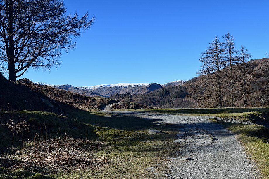
| The track was constructed to export slate from Loughrigg Quarry |
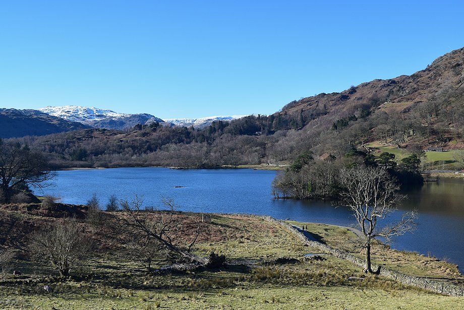 |
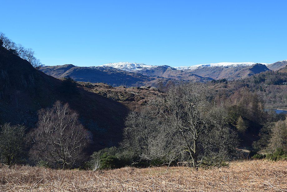
| Rydal Water from the quarry track |
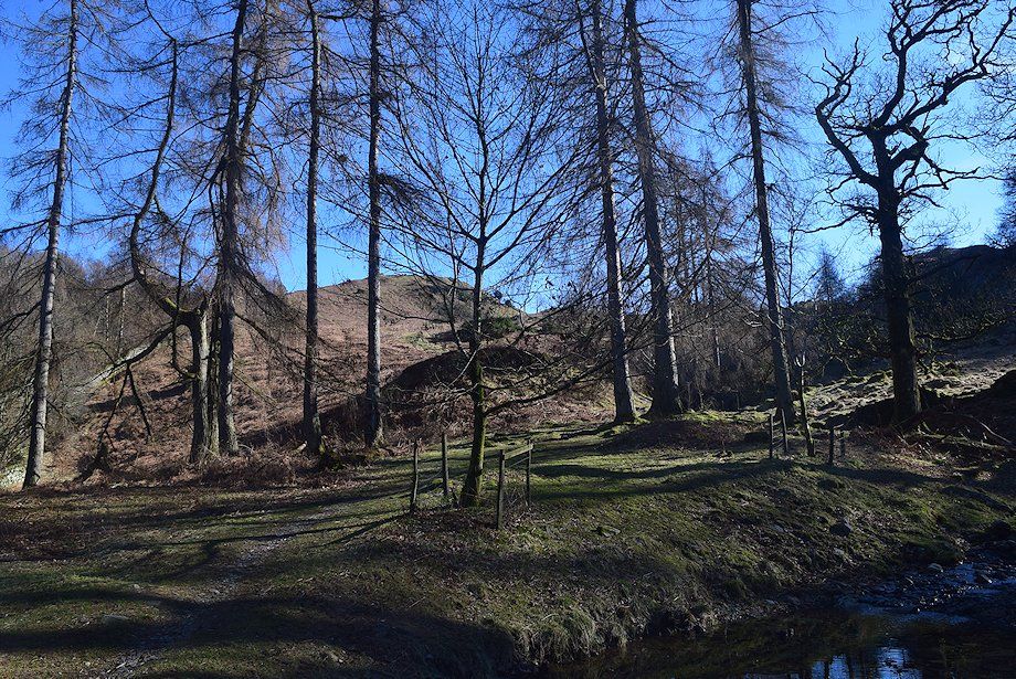 |
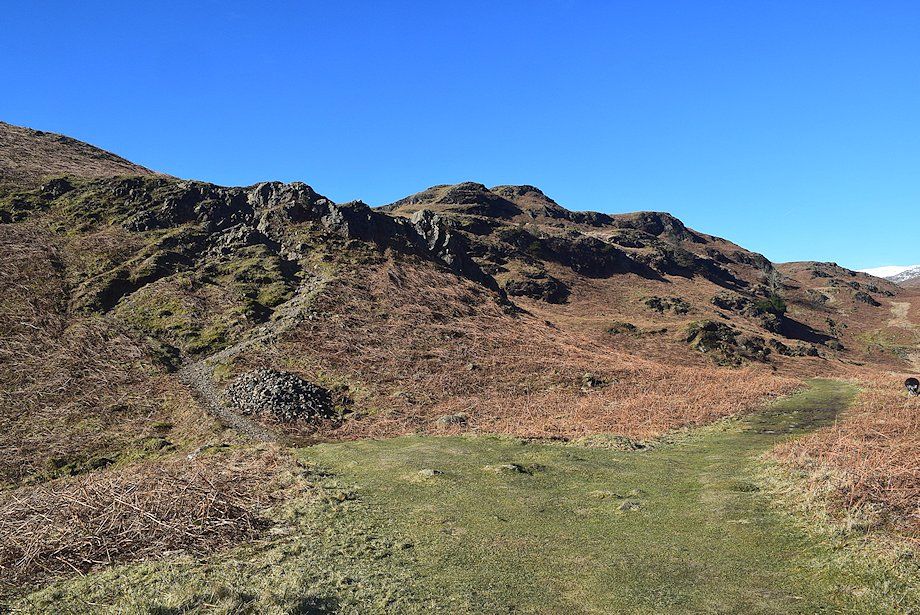
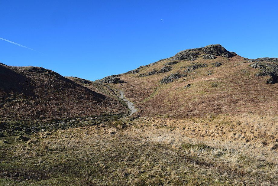
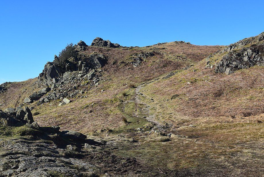
| The route of ascent starts a short distance past the end of the wall which encloses Rough Intake Wood. A clear path rises through a stand of larches just before the quarry track fords an unnamed stream |
 |
| However it's worthwhile continuing along the track for a few yards to pay a visit to the quarry caves. The higher one, Rydal Cave, is particularly impressive and is a well known tourist attraction |
 |
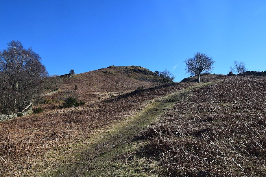
| Tarn Crag , Ullscarf and Helm Crag from the quarry apron |
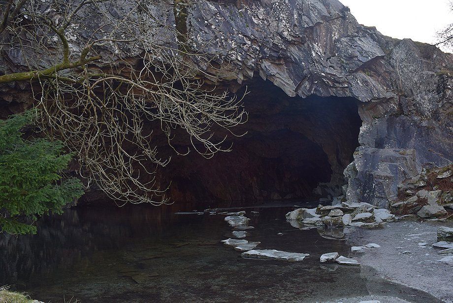 |
| The entrance to Rydal Cave |
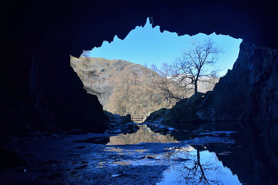 |
| Inside Rydal Cave |
 |
| Whilst it is possible to begin the ascent on a steep path which starts from the left side of Rydal Cave, it's preferable to return to the aforementioned path through the larches. This climbs easily through a shallow valley which is flanked by the Lanty Scar ridge and the rough slopes above Loughrigg Quarry |
 |
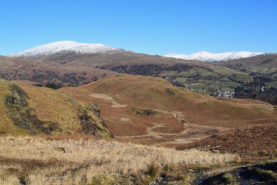
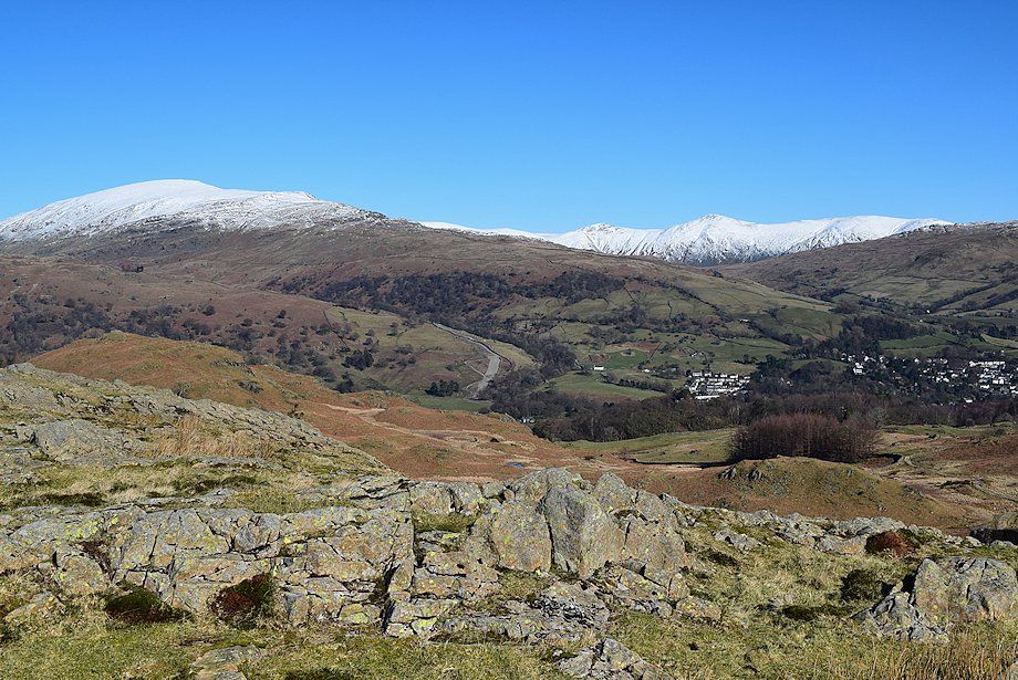
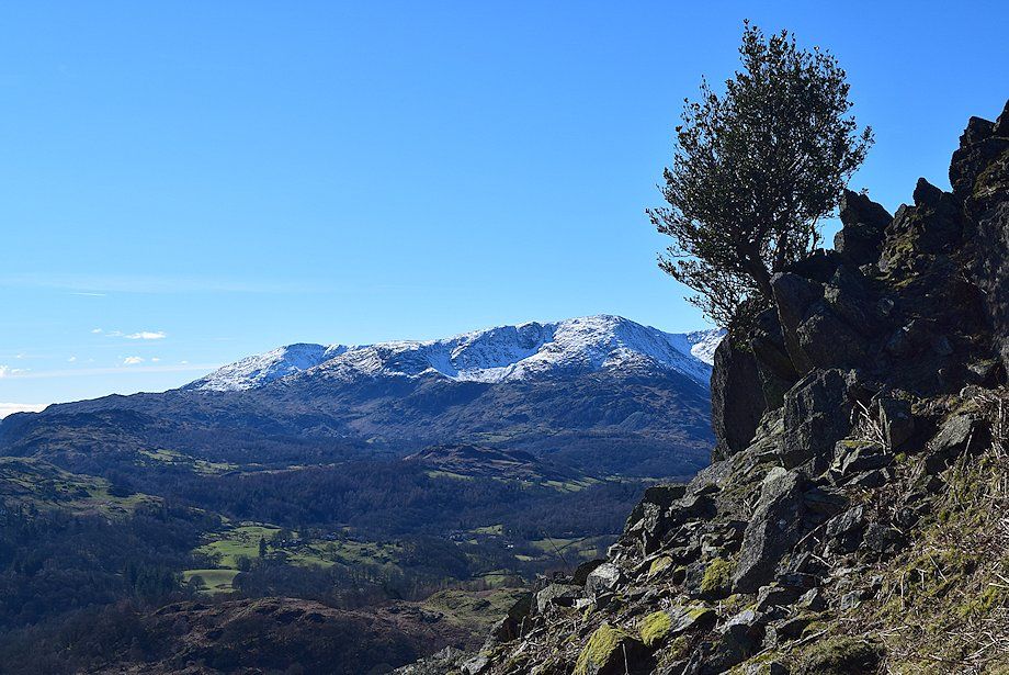
| High Pike across Nab Scar |
 |
| Lanty Scar |
 |
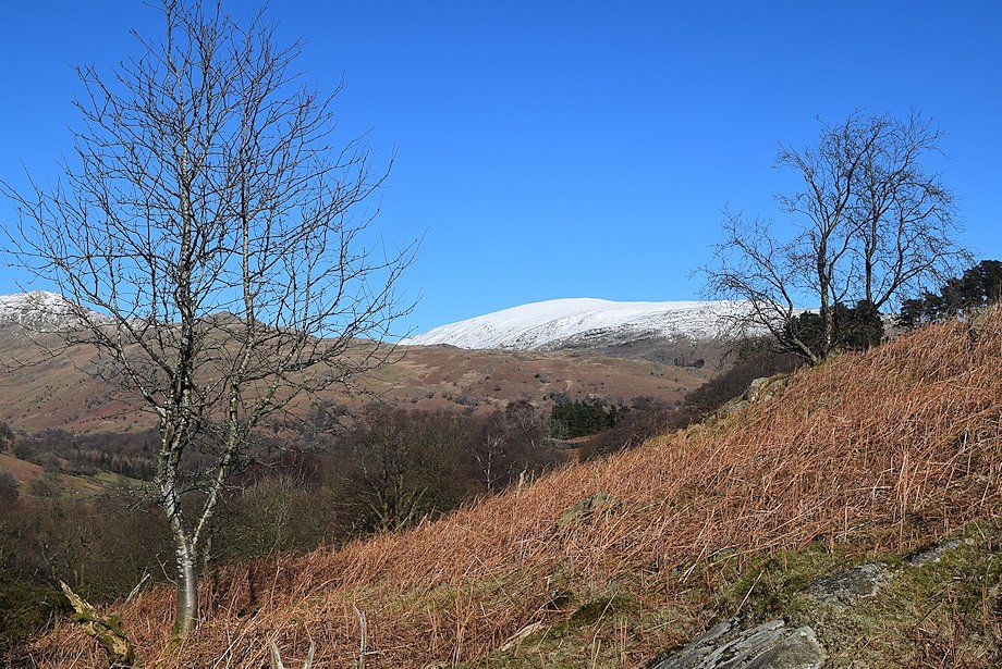
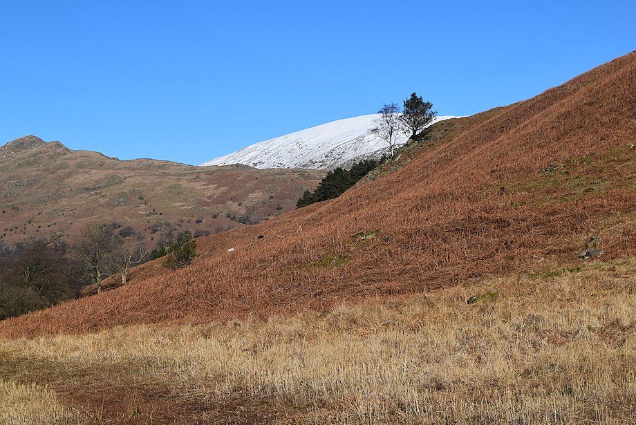
| The snow-capped summit ridges of High Raise and Ullscarf on the horizon |
 |
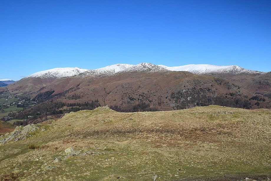
| Dove Crag, High Pike and Low Pike which form part of the eastern arm of the Fairfield Horseshoe |
 |
| Looking across towards Red Screes |
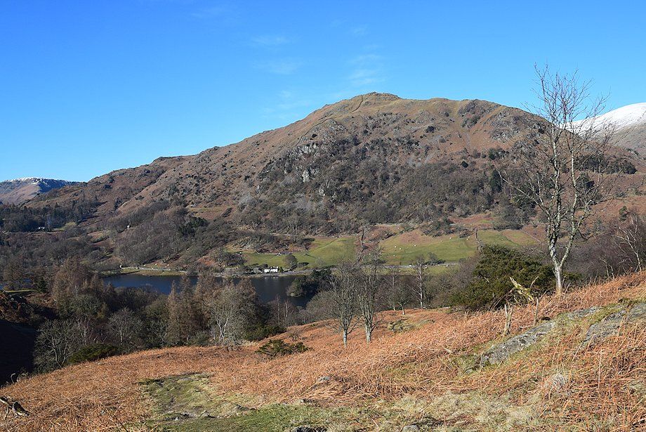 |
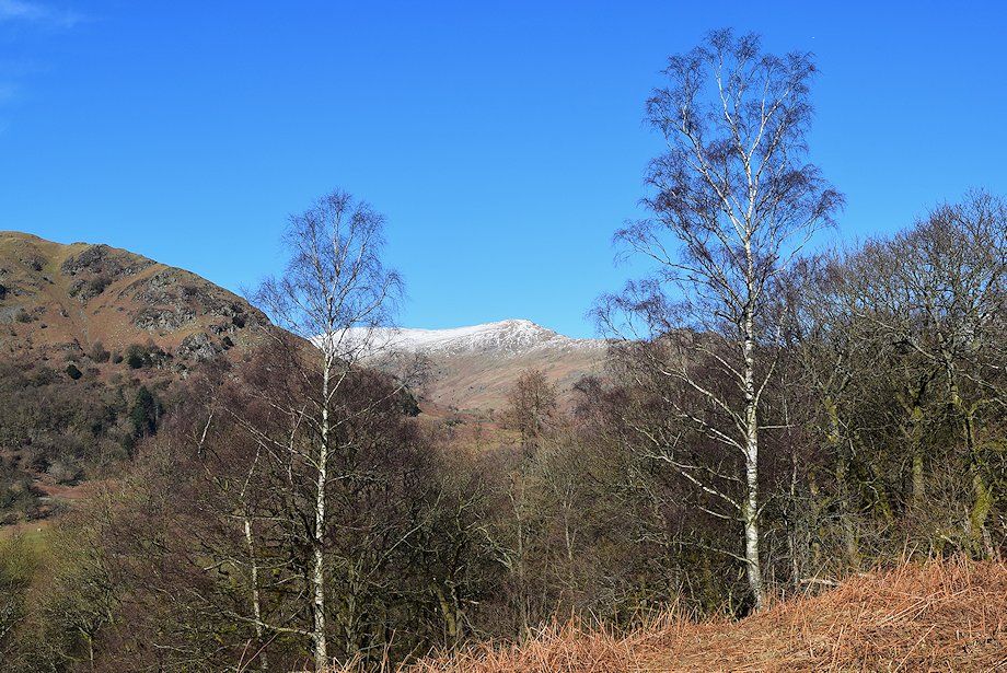
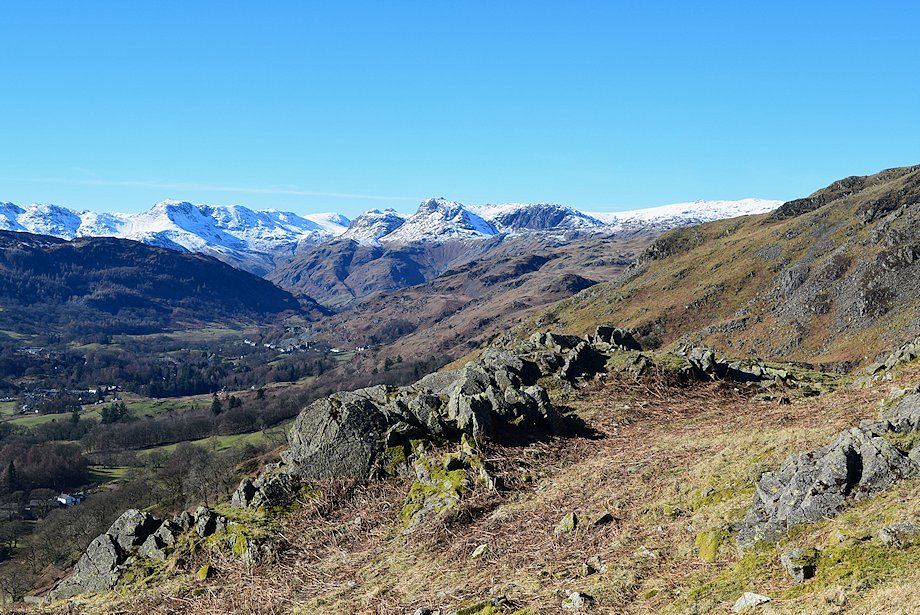
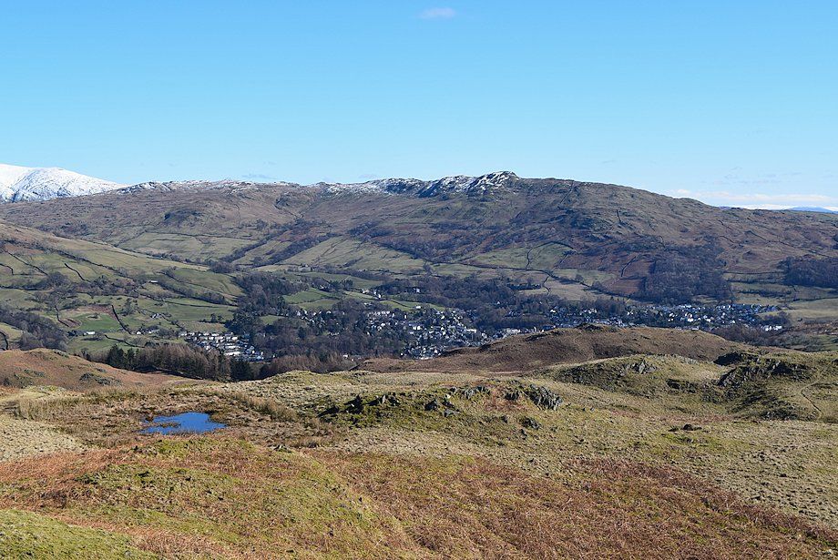
| Looking back to Nab Scar above Rydal Water |
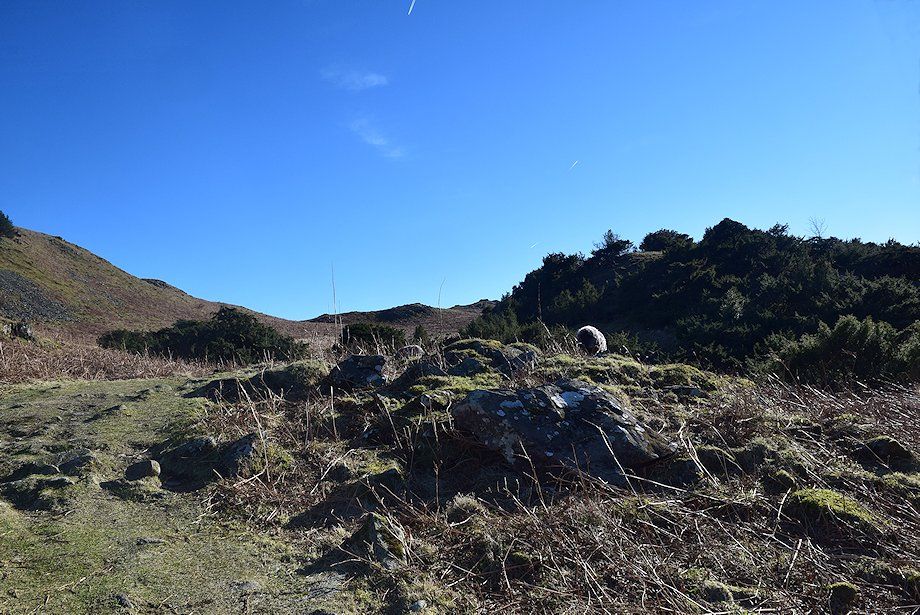 |
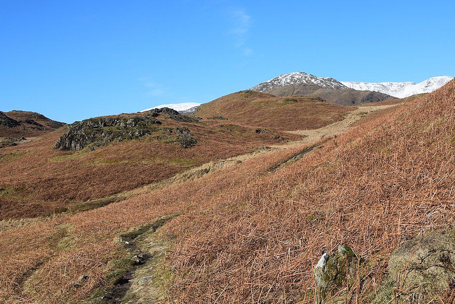
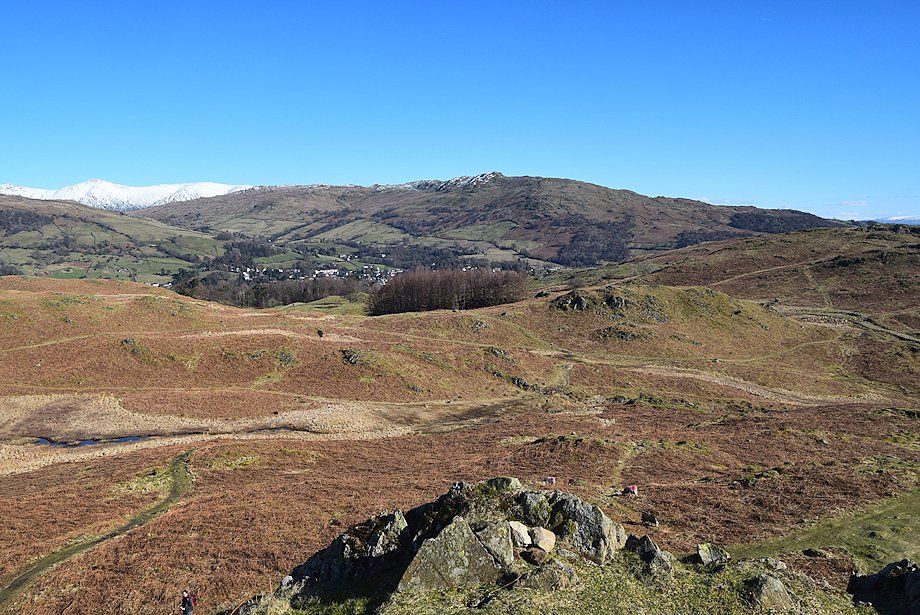
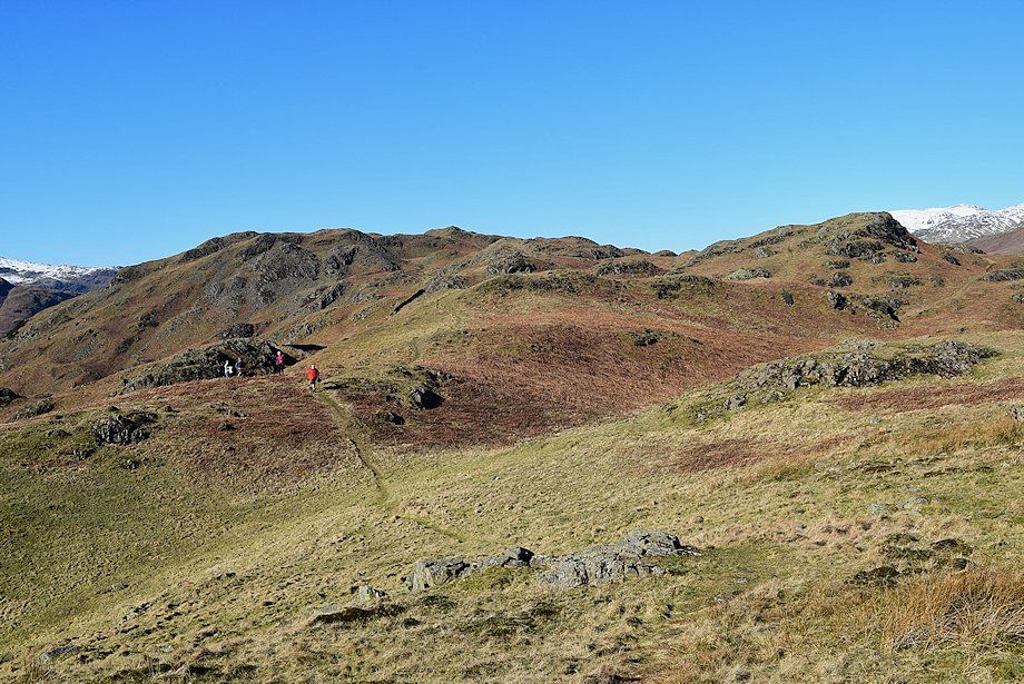
| The path passes through an area of juniper bushes which AW noted in his diagram of this ascent before climbing more easily to a shallow depression which he called the Amphitheatre |
 |
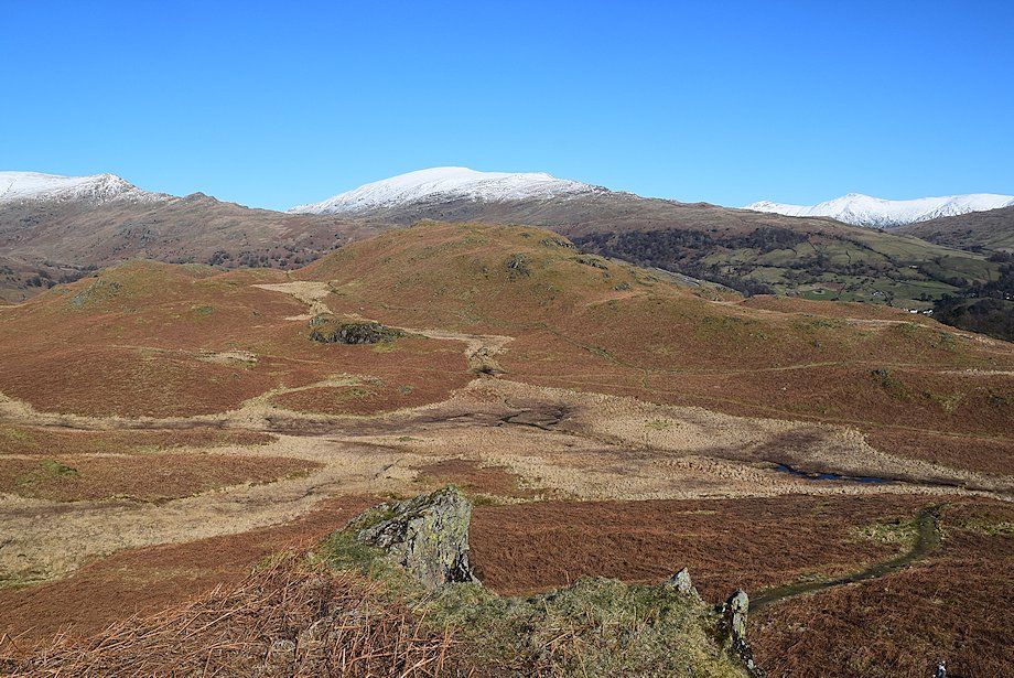
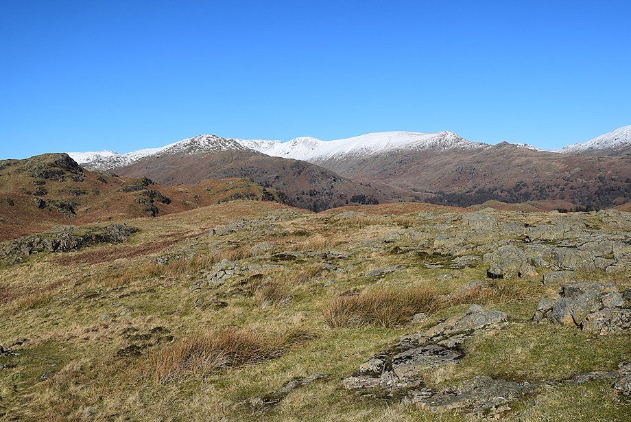
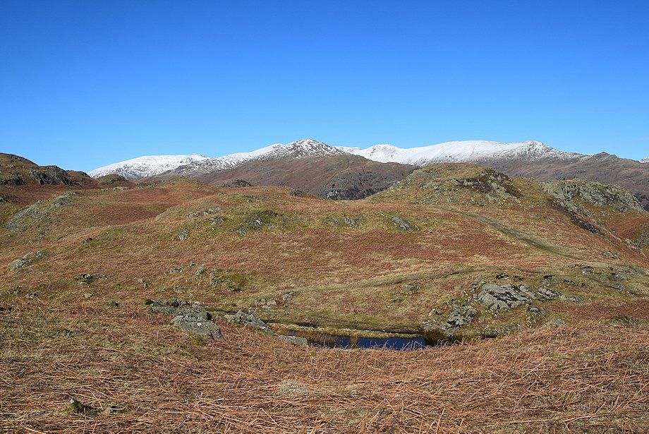
| Tarn Crag, Ullscarf and Steel Fell form the horizon |
 |
| Looking towards Low Pike and the summit of Red Screes |
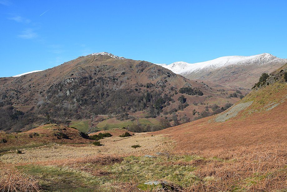 |
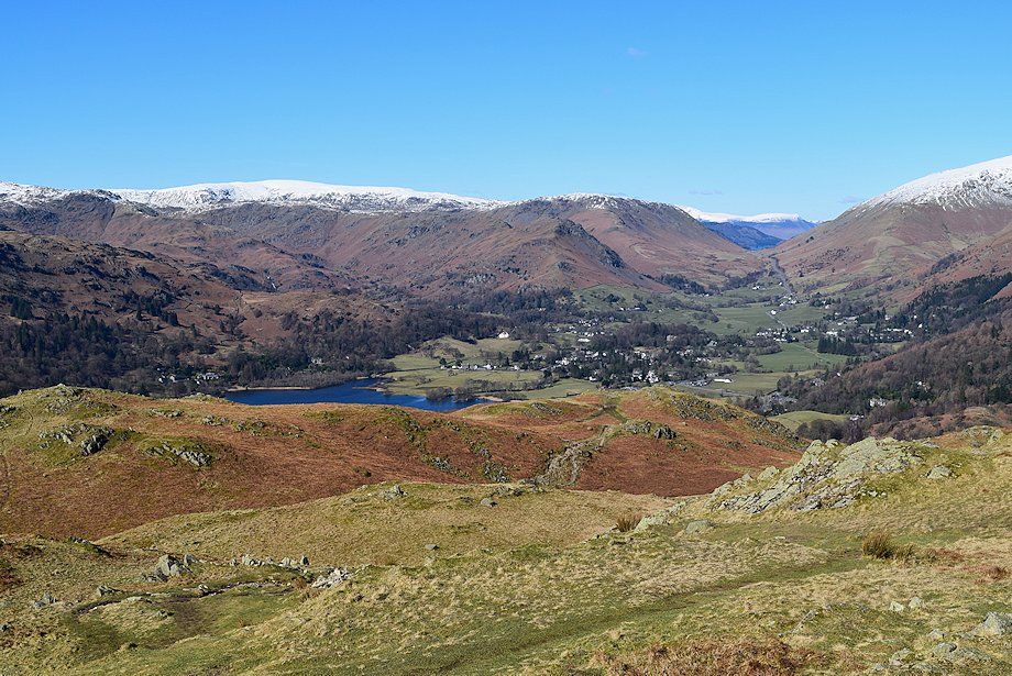
| The summit of Heron Pike appears over the top of Nab Scar with the snow-capped summits of Hart Crag, Dove Crag anf High Pike on the right |
 |
| Looking across towards Helm Crag and Steel Fell |
 |
| Looking towards Wansfell and Wansfell Pike |
 |
| Looking back towards the Fairfield Horseshoe fom the path to the Amphitheatre |
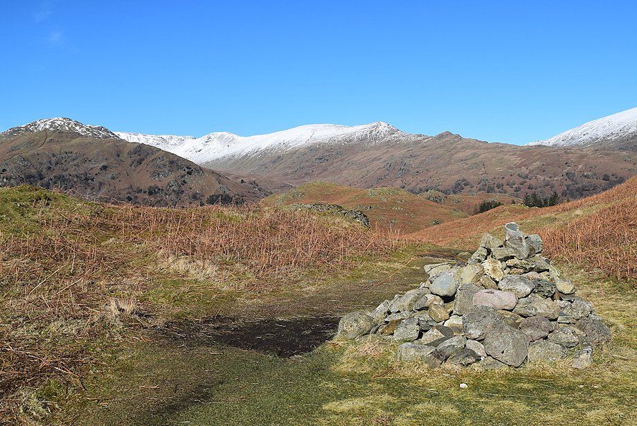 |
| A marker cairn stands on the edge of the Amphitheatre |
 |
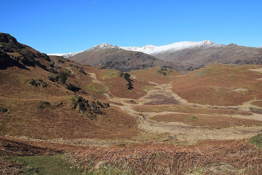
| Looking towards Ullscarf and Steel Fell from the edge of the Amphitheatre |
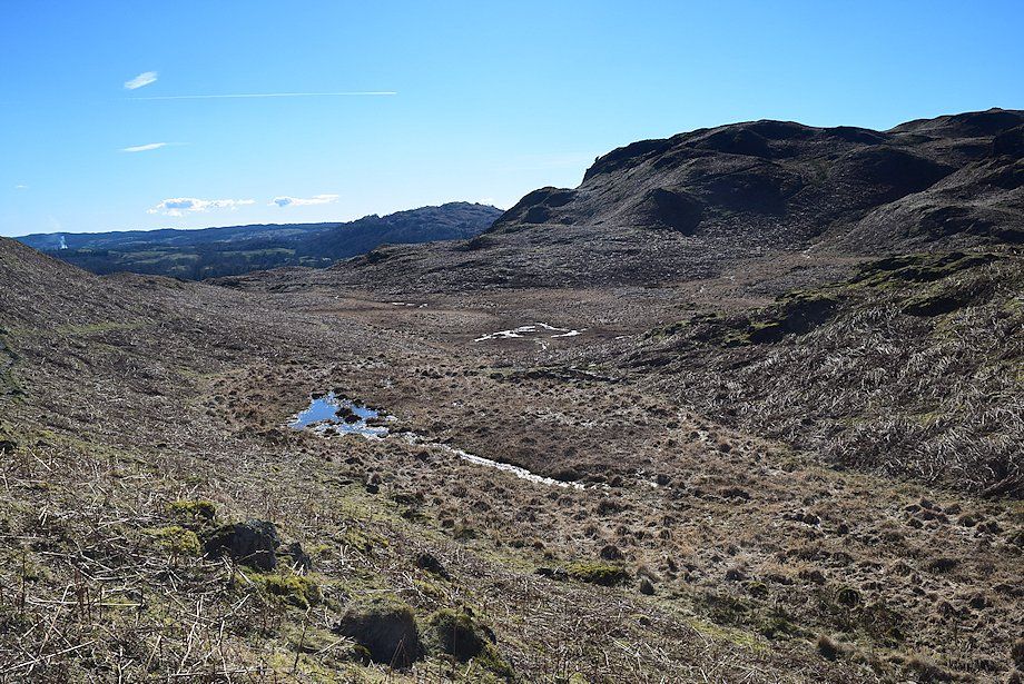 |
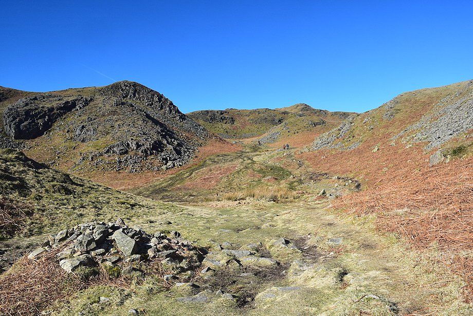
| The Amphitheatre, marked as Black Mire on the OS map. The path skirts its left edge |
 |
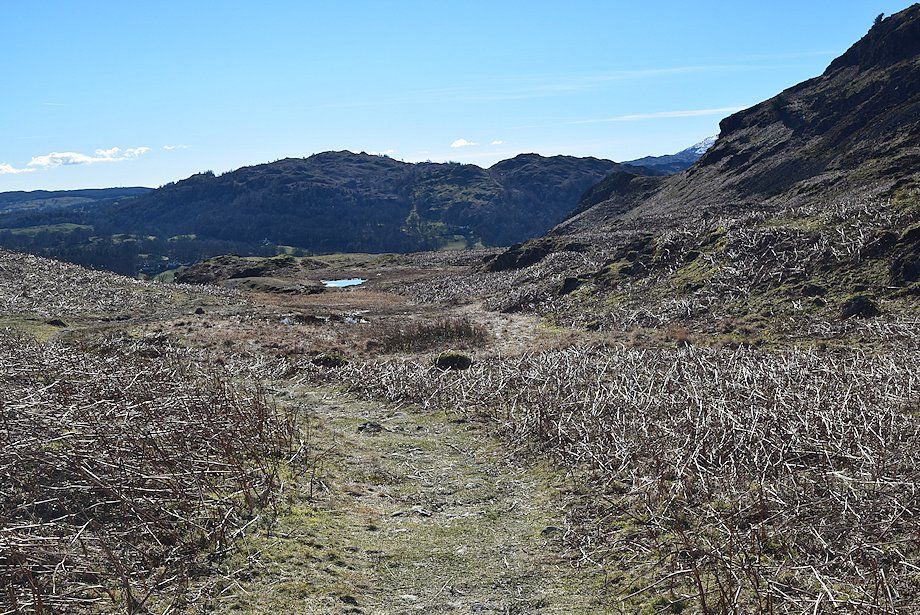
| Looking back from the descent into the Amphitheatre |
 |
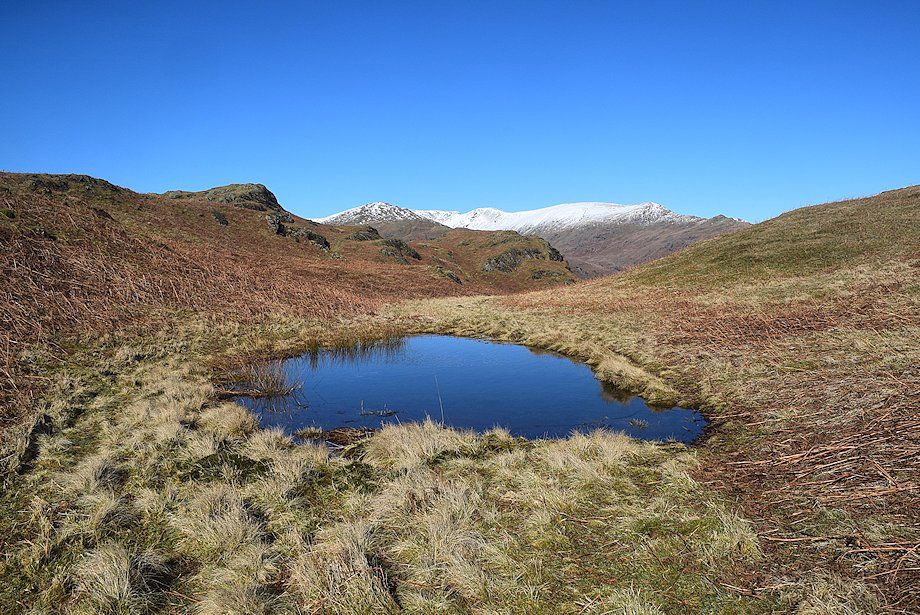
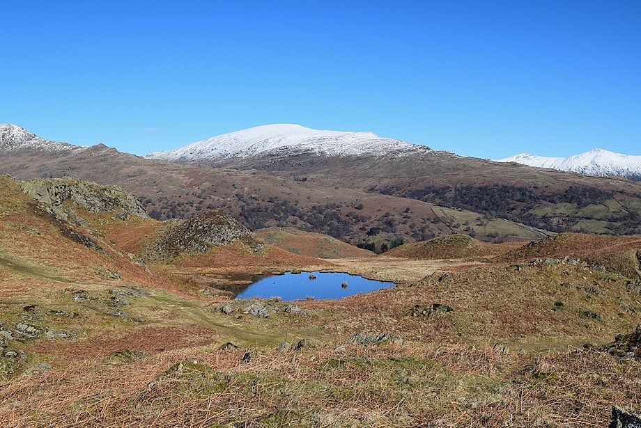
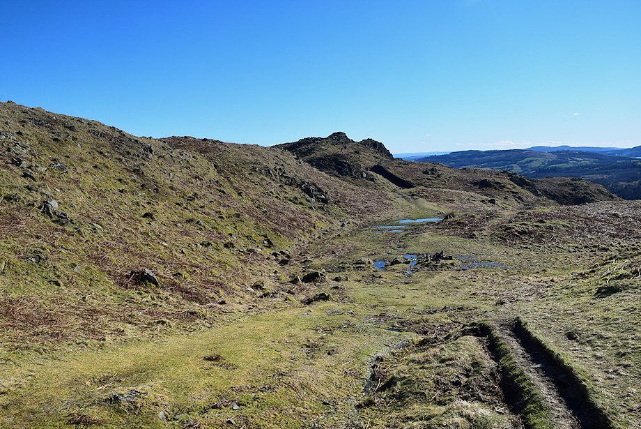
| The path descends to an unnamed tarn at the foot of the steep slopes of Ivy Crag |
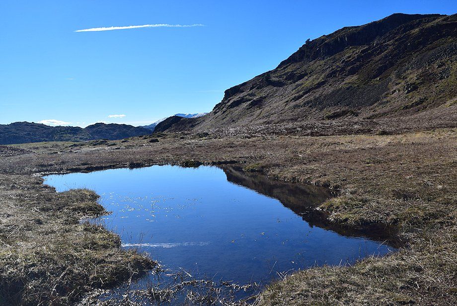 |
| Ivy Crag from the unnamed tarn |
 |
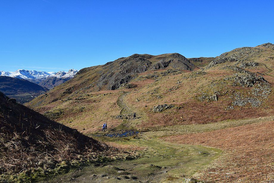
| From the tarn there is a choice of paths to the summit of Loughrigg Fell; the lower one is easier, the upper one has better views. Both lead up to a shallow col behind Ivy Crag |
 |
| Wansfell from the upper path |
 |
| High Pike, Low Pike, Red Screes, Froswick Ill Bell and Yoke form the horizon |
 |
| Looking over the Amphitheatre to the Fairfield Horseshoe |
 |
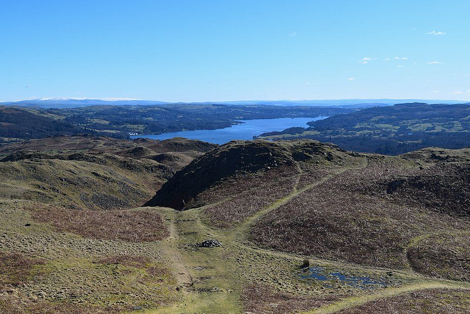
| Windermere from the upper path |
 |
| Red Screes, Froswick, Ill Bell and Yoke from the upper path |
 |
| The Fairfield Horseshoe across another unnamed tarn |
 |
| The paths re-unite as they approach the col behind Ivy Crag |
 |
| From the shallow col it's worthwhile to take a short diversion along the ridge to the top of Ivy Crag which provides a good view of Windermere |
 |
| The ridge path to the top of Ivy Crag |
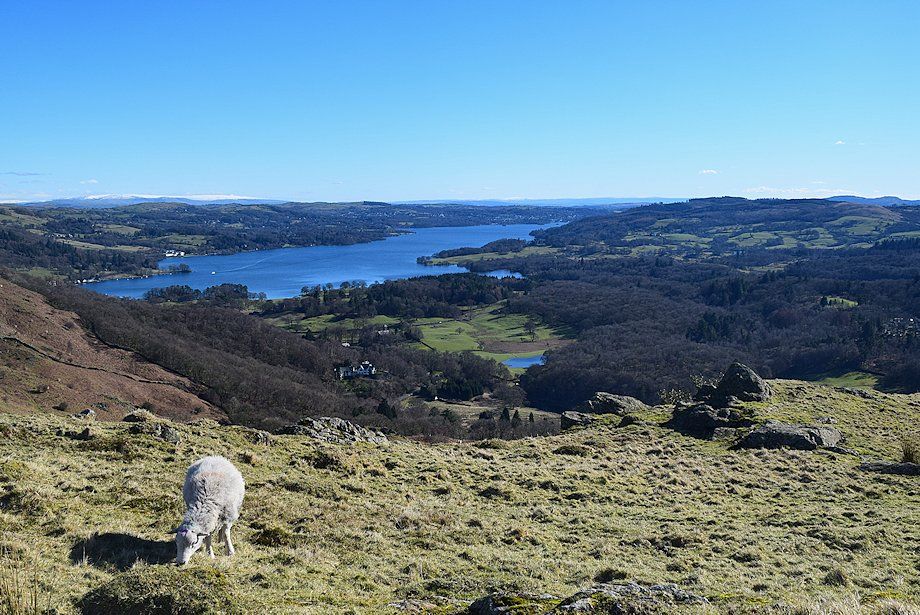 |
| Windermere from the top of Ivy Crag |
 |
| Wansfell from the top of Ivy Crag with the snow-capped tops of Froswick, Ill Bell and Yolk on the left horizon |
 |
| Red Screes, Froswick, Ill Bell and Yoke from the top of Ivy Crag |
 |
| The Fairfield Horseshoe from the top of Ivy Crag |
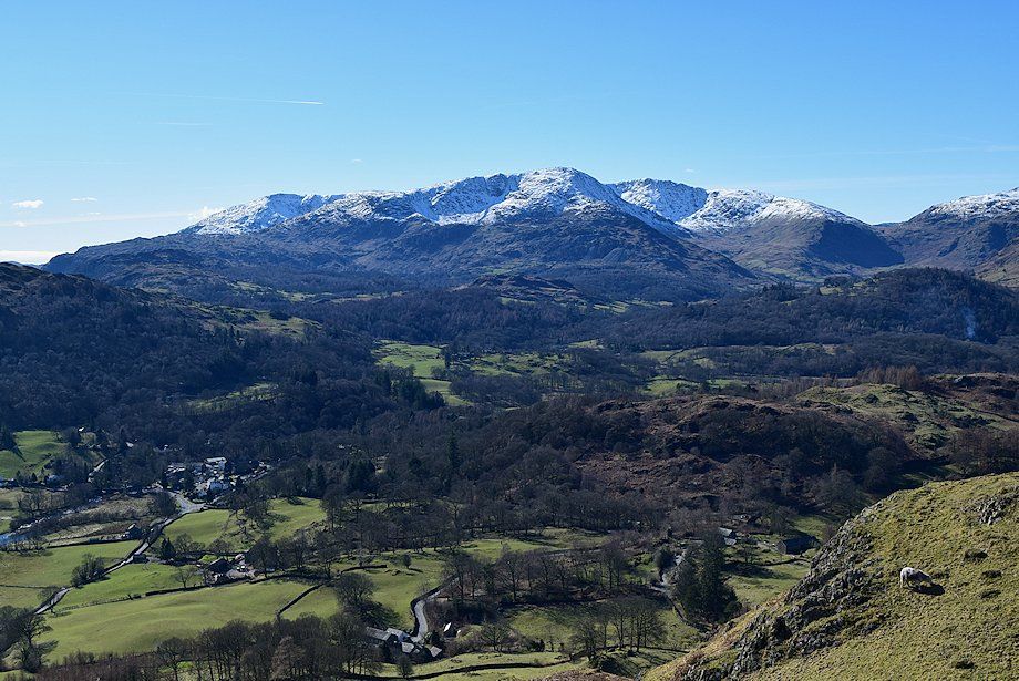 |
| The Coniston Fells from the top of Ivy Crag |
 |
| The Langdale Pikes from the top of Ivy Crag |
 |
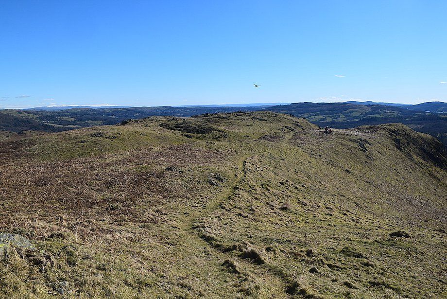
| Returning along the path to the col, the triple summits of Loughrigg Fell can be seen left of centre |
 |
| From the col the path passes a prominent cairn which is worth visiting for its view of Loughrigg Tarn |
 |
| The Coniston Fells from the climb to the viewpoint cairn |
 |
| The Fairfield Horseshoe from the path to the viewpoint cairn |
 |
| Red Screes from the path to the viewpoint cairn |
 |
| Loughrigg Tarn from the viewpoint cairn |
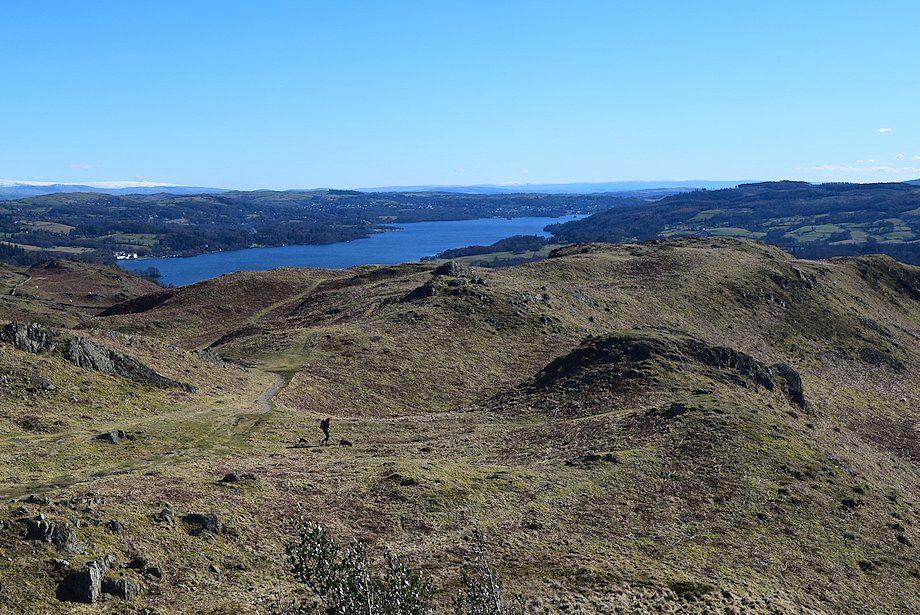 |
| Windermere from the viewpoint cairn |
 |
| Bowfell and the Langdale Pikes from the viewpoint cairn |
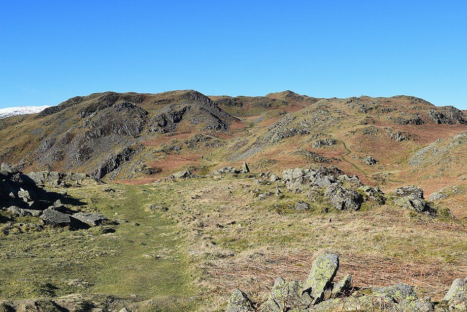 |
| Continuing on from the viewpoint cairn, the summit ridge lies directly ahead at the head of a trough-like feature between rocky knolls. The south summit can be seen on the left, the main summit left of centre and the east summit right of centre |
 |
| The path into the trough |
 |
| Looking back to the viewpoint cairn from the trough |
 |
| The path climbs easily to a col which lies behind the rock face on the left |
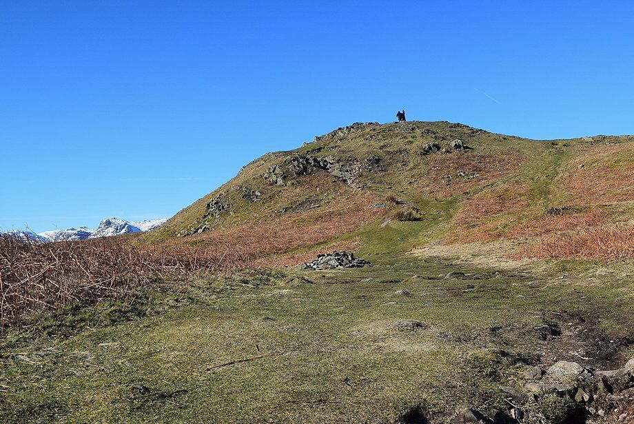 |
| The summit of Loughrigg Fell from the col |
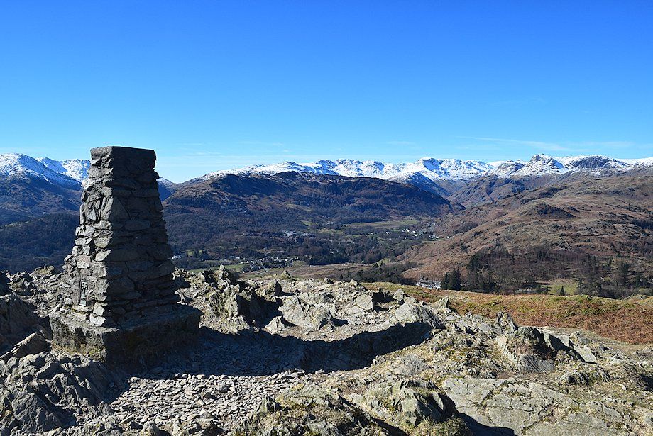 |
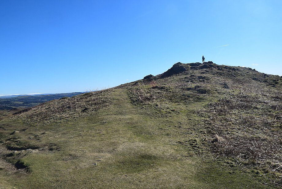
| The trig column marking the summit of Loughrigg Fell |
 |
| The Coniston Fells over Elterwater |
 |
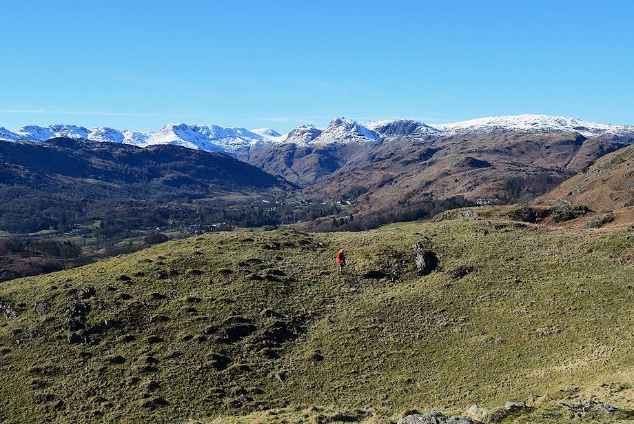
| Cold Pike, Pike o' Blisco, Crinkle Crags, Bowfell, Esk Pike, Great End, Loft Crag, Pike o' Stickle, Harrison Stickle and Pavey Ark on the skyline |
 |
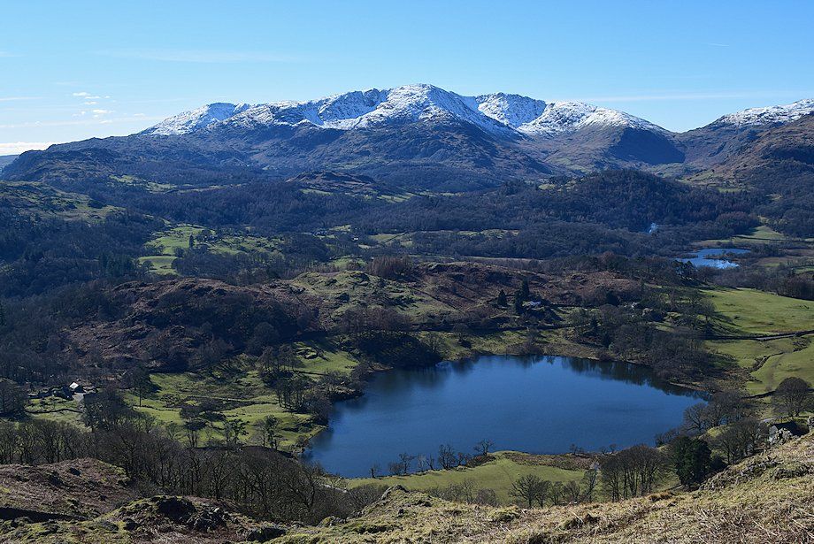
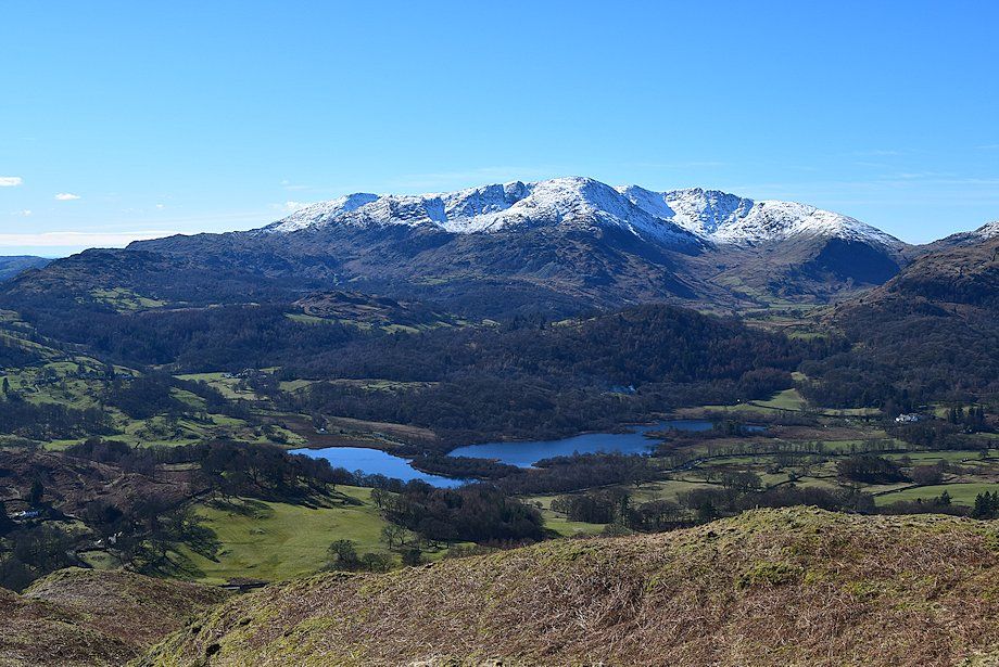
| Grasmere from the summit of Loughrigg Fell |
 |
| Seat Sandal, Dollywaggon Pike, Great Rigg, Fairfield, Heron Pike, Hart Crag, Dove Crag and High Pike from the summit of Loughrigg Fell |
 |
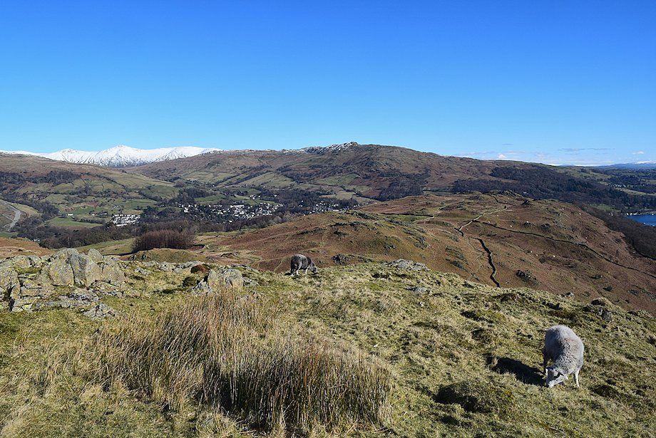
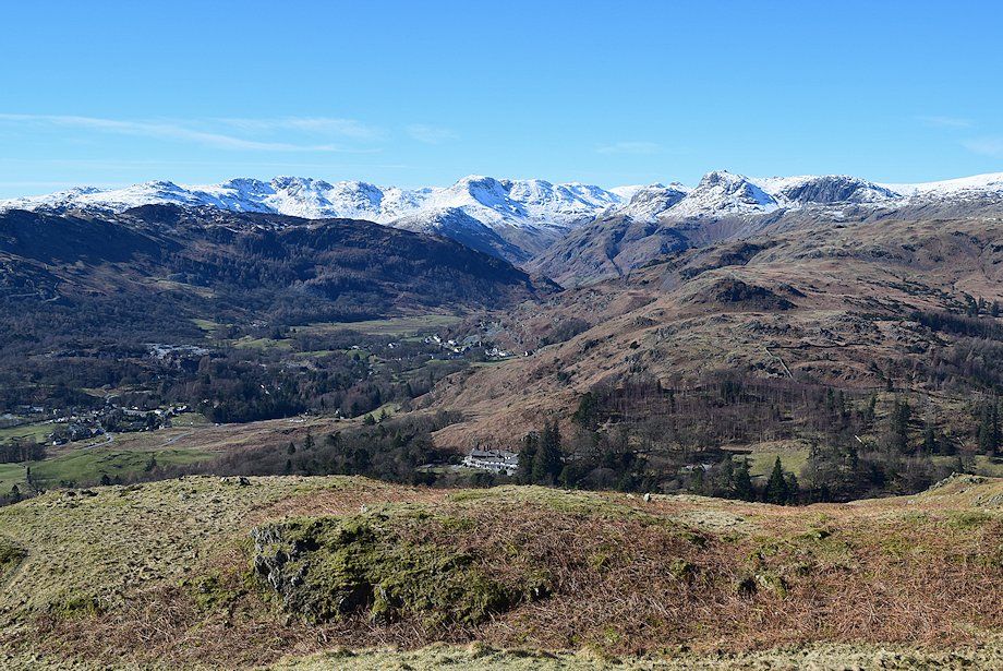
| Wansfell and Ambleside |
 |
| Windermere from the summit of Loughrigg Fell |
