 |
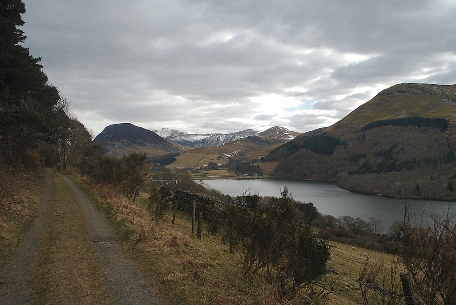
| Waterend at the start of the walk |
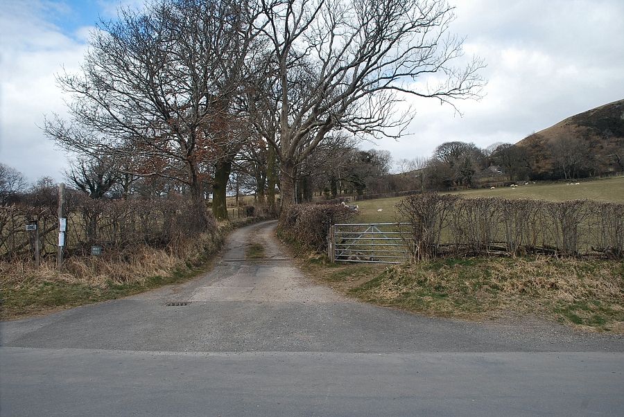 |
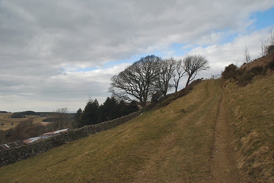
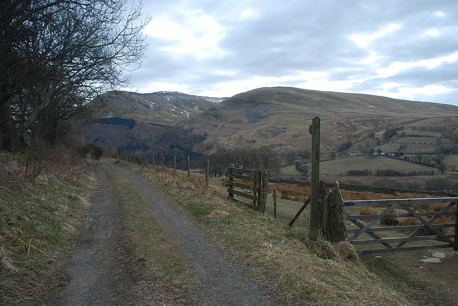
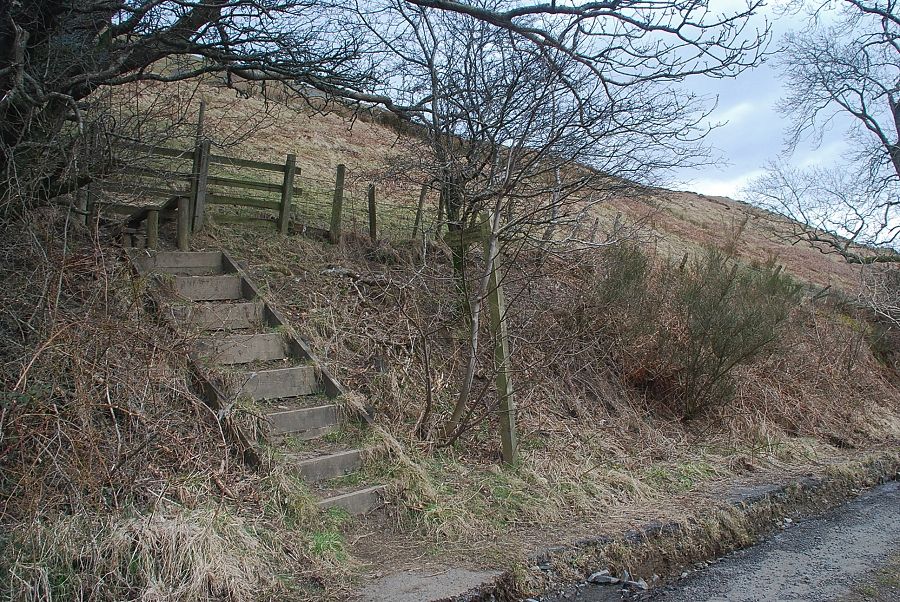
| Almost opposite the telephone box is a lane leading up to Askill Farm which is also a bridleway to the Mosser Fell Road |
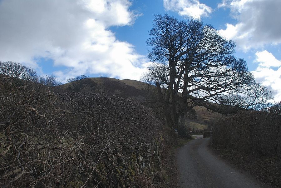 |
| The lane to Askill Farm |
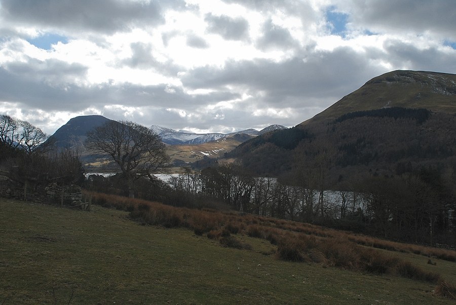 |
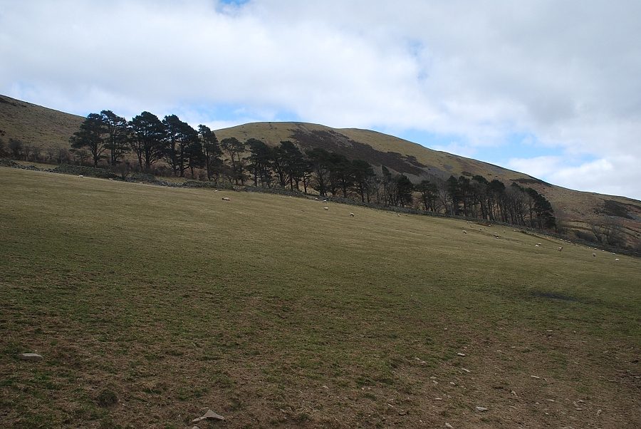
| Loweswater from the Askill Farm lane |
 |
| A short distance past a sharp bend in the lane the bridleway to the Mosser Fell Road turns off to the right |
 |
| Darling Fell from the bridleway |
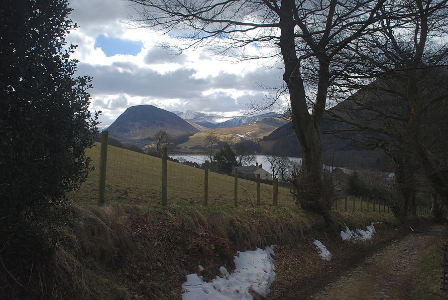 |
| Looking back to Loweswater from the bridleway |
 |
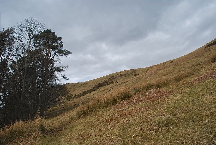
| The bridleway passes through two fields as it rises to join the Mosser Fell Road |
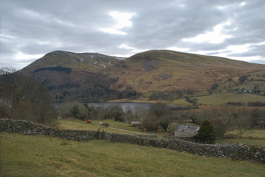 |
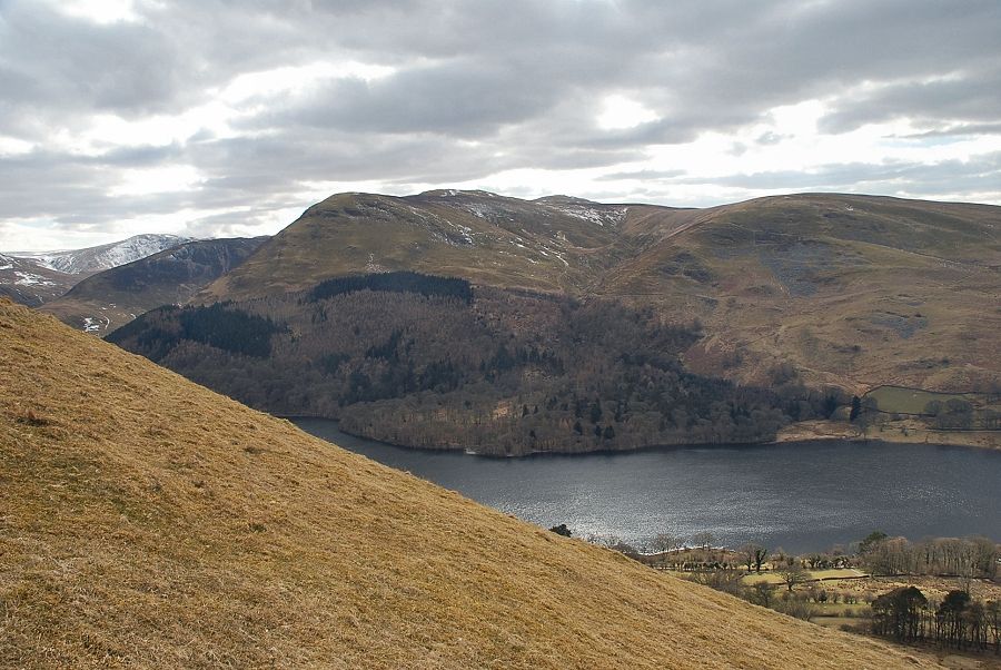
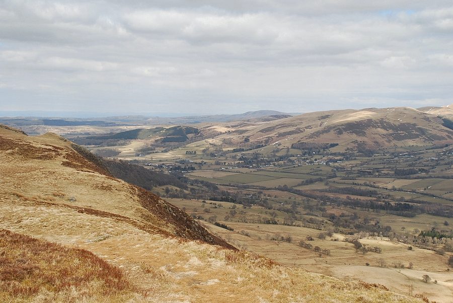
| Looking back across Loweswater to Carling Knott and Burnbank Fell |
 |
| Loweswater from the stile at the top of the first field |
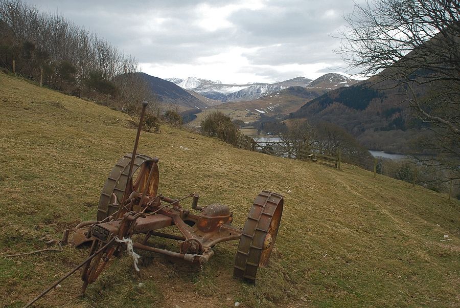 |
| An old Bamford mower abandoned in the second field |
 |
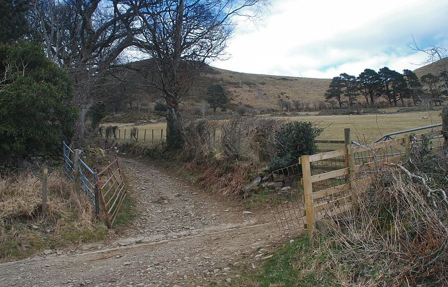
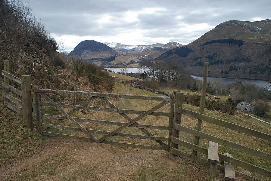
| The bridleway joins the Mosser Fell Road at a gate at the top of the second field |
 |
| Turn right from the gate to follow the Mosser Fell Road as it descends towards Loweswater |
 |
| Loweswater from the Mosser Fell Road |
 |
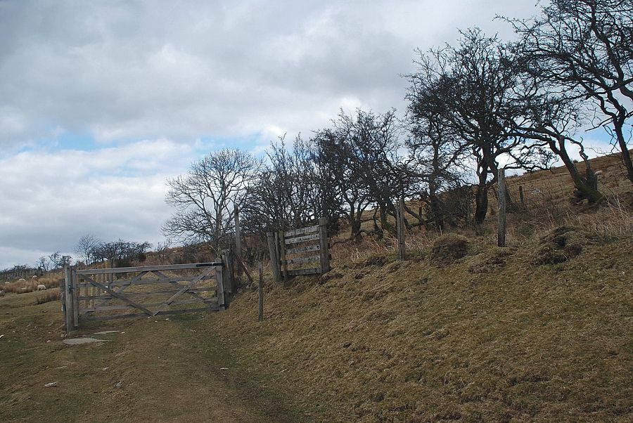
| After a quarter of a mile a signpost indicates the start of a footpath to Foulsyke |
 |
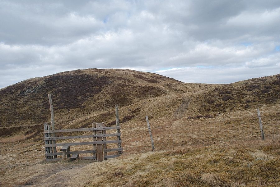
| The footpath to Foulsyke turns right from the stile, the path to the summit of Darling Fell turns left in the direction of Askill Knott |
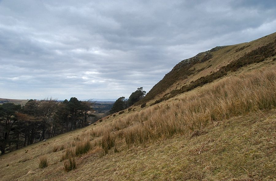 |
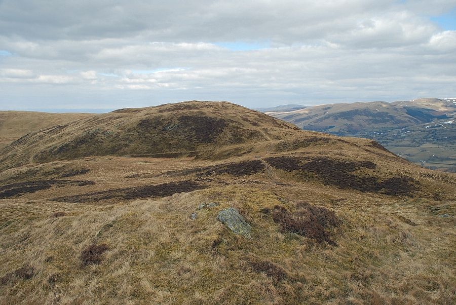
| Askill Knott |
 |
| The path gradually turns and rises steeply towards a fence on the west ridge of Darling Fell |
 |
| Loweswater from the path to the west ridge |
 |
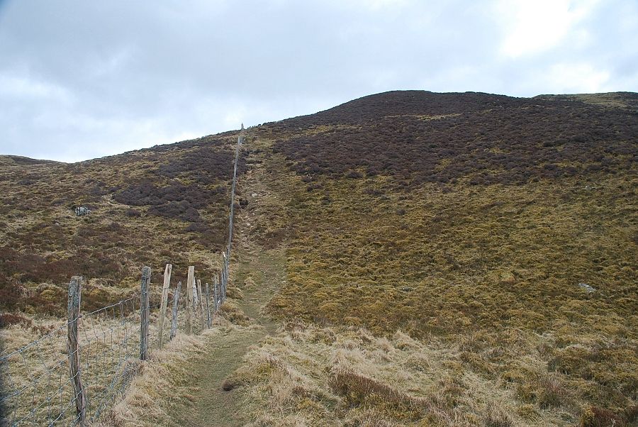
| The path follows the fence up the lower part of the west ridge |
 |
| Looking back on Askill Knott |
 |
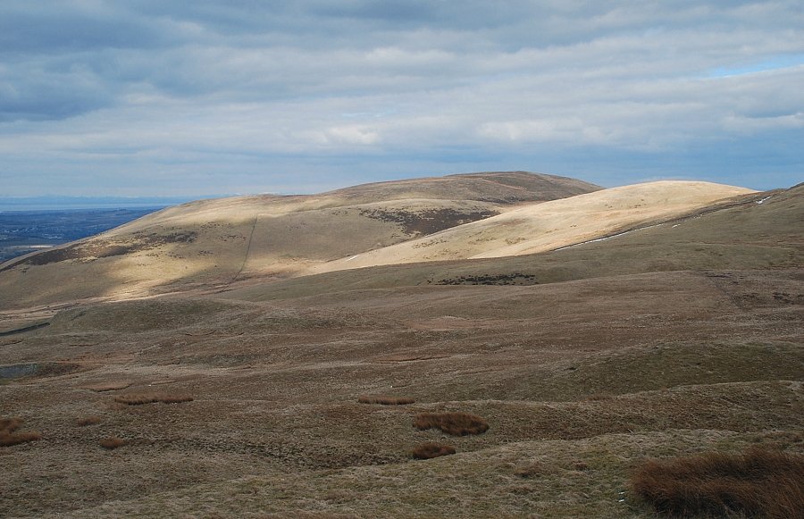
| Looking across to Carling Knott and Burnbank Fell |
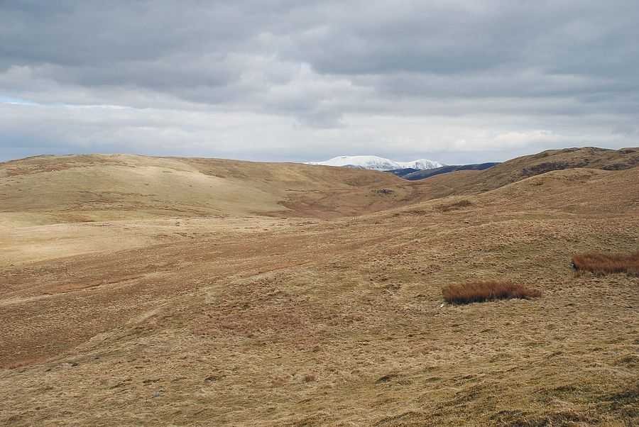 |
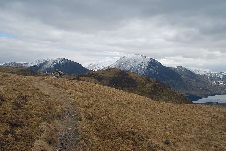
| Skiddaw appears over the col between Sourfoot Fell and Low Fell |
 |
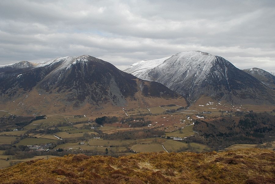
| Whiteside and Grasmoor over the Low Fell ridge |
 |
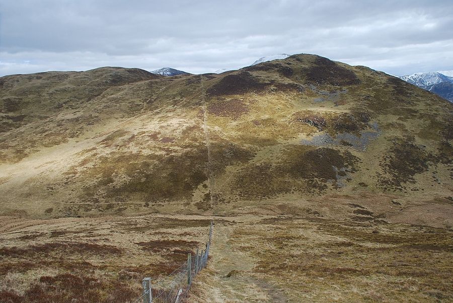
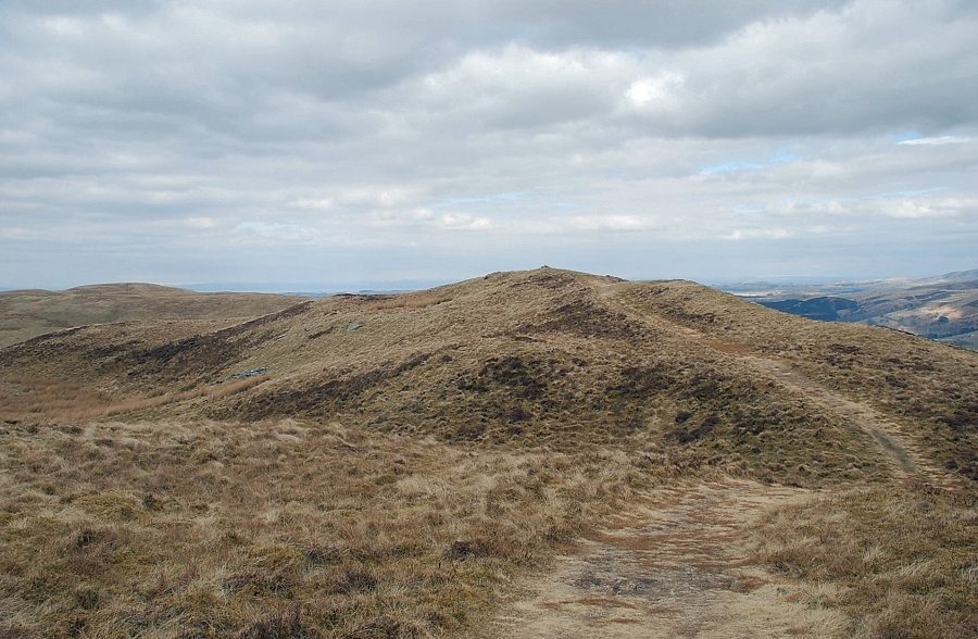
| Half way along the west ridge, the fence turns and descends to the north, the path continues straight ahead rising to another fence and stile which can be seen on the horizon |
 |
| Looking across to Fellbarrow with Smithy Fell on the right |
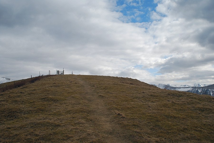 |
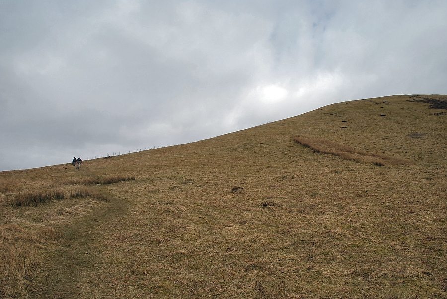
| Approaching the fence-stile on the top of the west ridge |
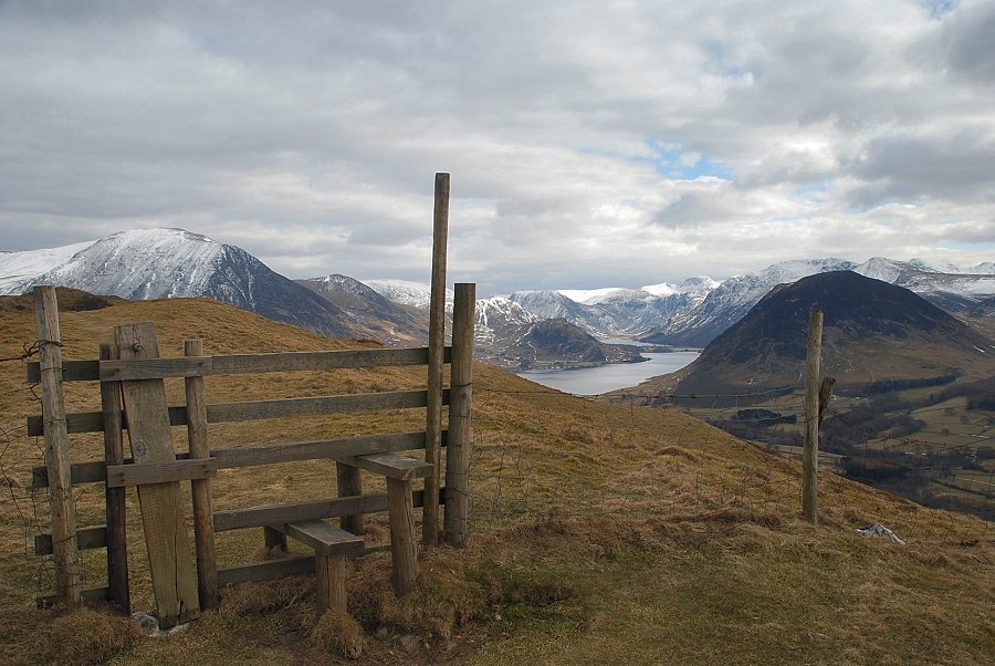 |
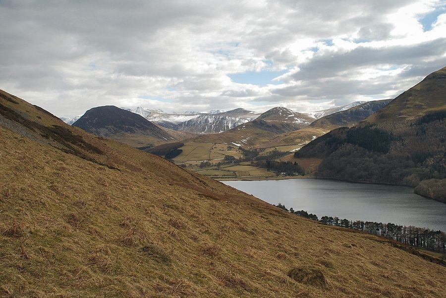
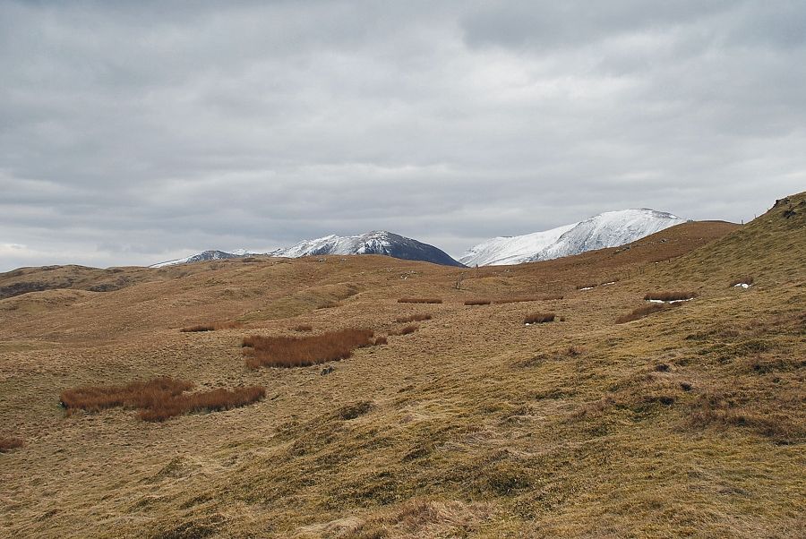
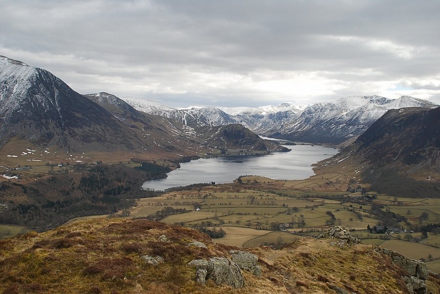
| Crummock Water and Buttermere from the stile on the west ridge |
 |
| Looking back to the Solway Firth from the stile |
 |
| Loweswater from the stile |
 |
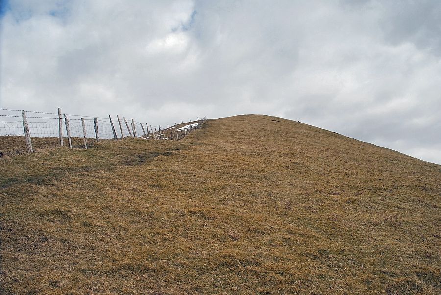
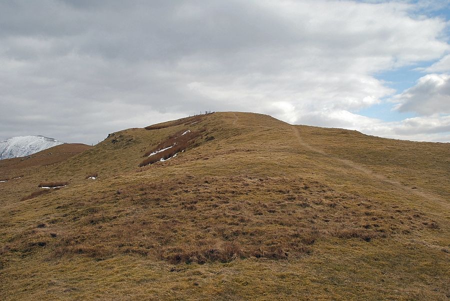
| The summit of Darling Fell is only a short distance along the ridge from the stile |
 |
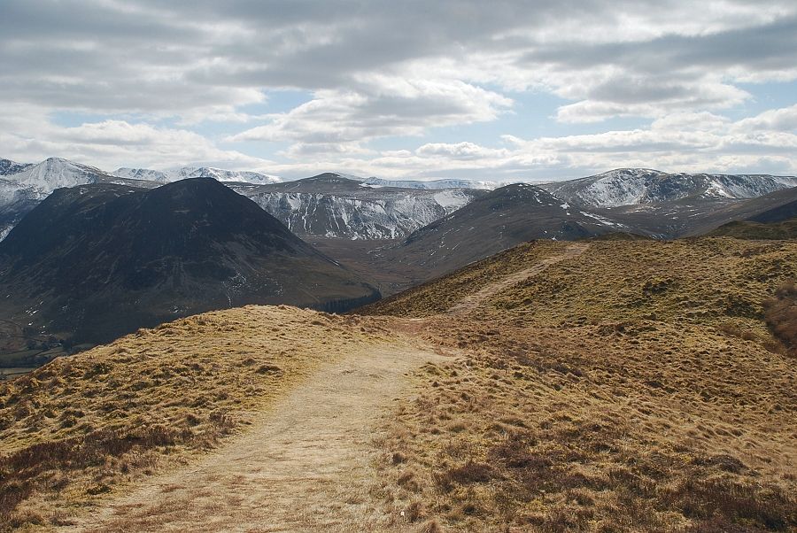
| Crummock Water and Buttermere from the summit of Darling Fell |
 |
| Hen Comb flanked by Starling Dodd and Great Borne from the summit of Darling Fell |
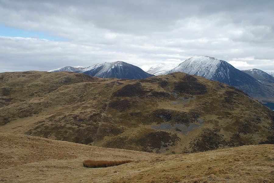 |
| Whiteside and Grasmoor over the summit ridge of Low Fell |
 |
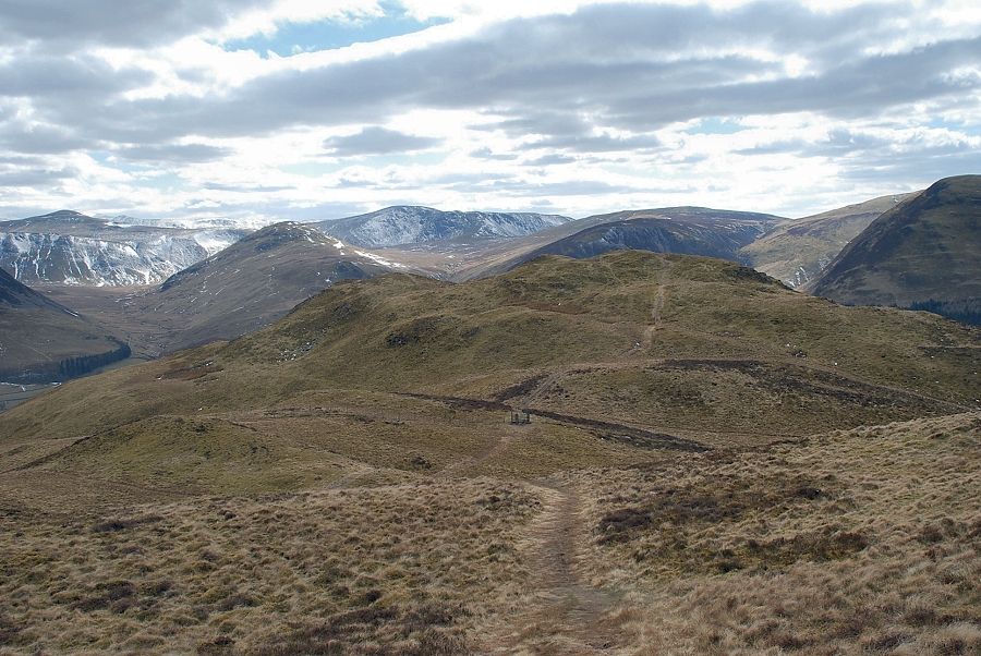
| The path to Low Fell turns half left and joins the fence descending to the valley of Crabtree Beck |
 |
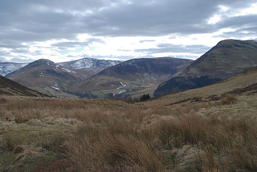
| Low Fell from the descent to Crabtree Beck |
 |
| Looking over to Hen Comb from the descent to Crabtree Beck |
 |
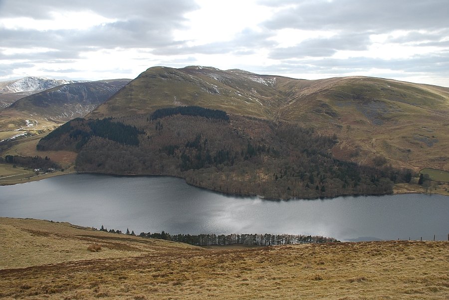
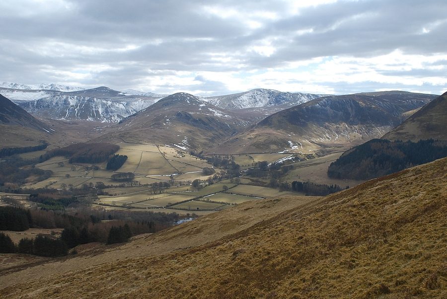
| Hen Comb, Great Borne, Gavel Fell and Carling Knott from Crabtree Beck |
 |
| The path continues alongside the fence rising steeply to reach the col between the summit of Low Fell and its south top |
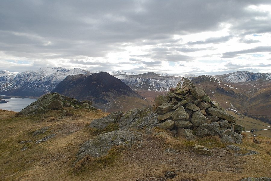 |
| The cairn on the south top of Low Fell |
 |
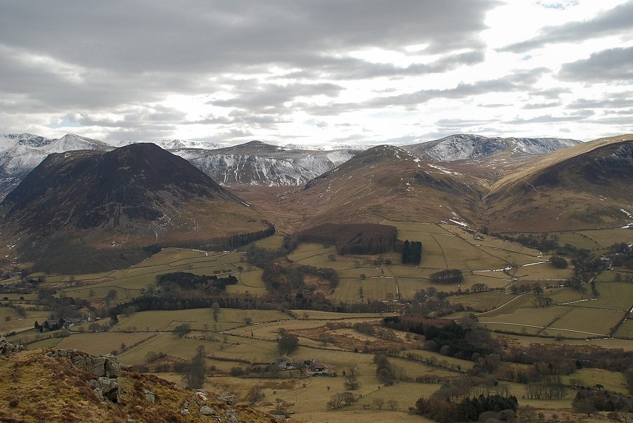
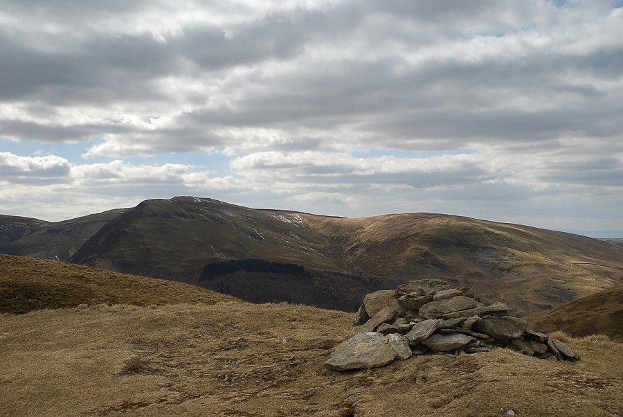
| Darling Fell from the south top of Low Fell |
 |
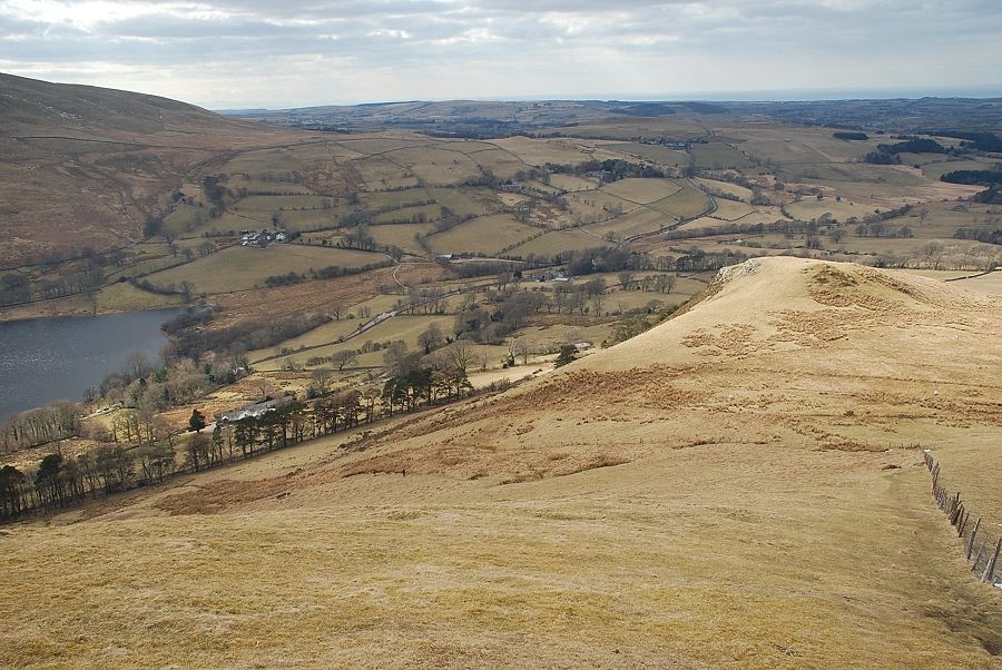
| Loweswater from the south top of Low Fell |
 |
| Mellbreak and Hen Comb from the south top of Low Fell |
 |
| Crummock Water and Buttermere from the south top of Low Fell |
 |
| Whiteside and Grasmoor from the south top of Low Fell |
 |
| Wainwright regarded the south top as the true summit but acknowledged that the north top appeared to be slightly higher. Later re-surveying has confirmed this, giving the north top a height of 1,388 ft. and the south 1,352 ft. |
 |
| The stile on the col between the south top and the summit of Low Fell |
 |
| Approaching the summit of Low Fell |
 |
| Looking back to the south top |
 |
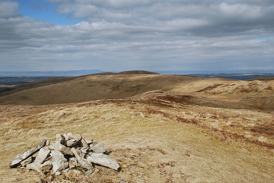
| The summit cairn on Low Fell looking towards Blake Fell and Burnbank Fell |
 |
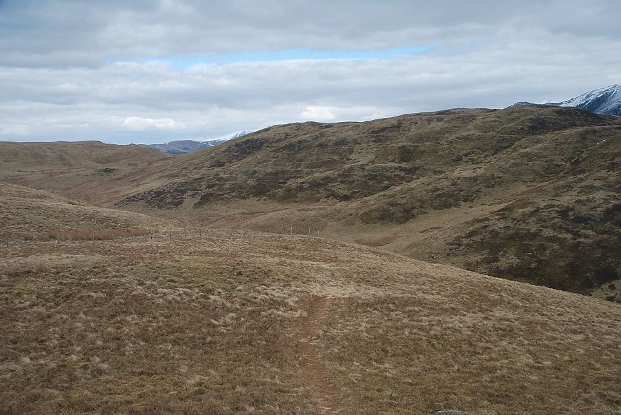
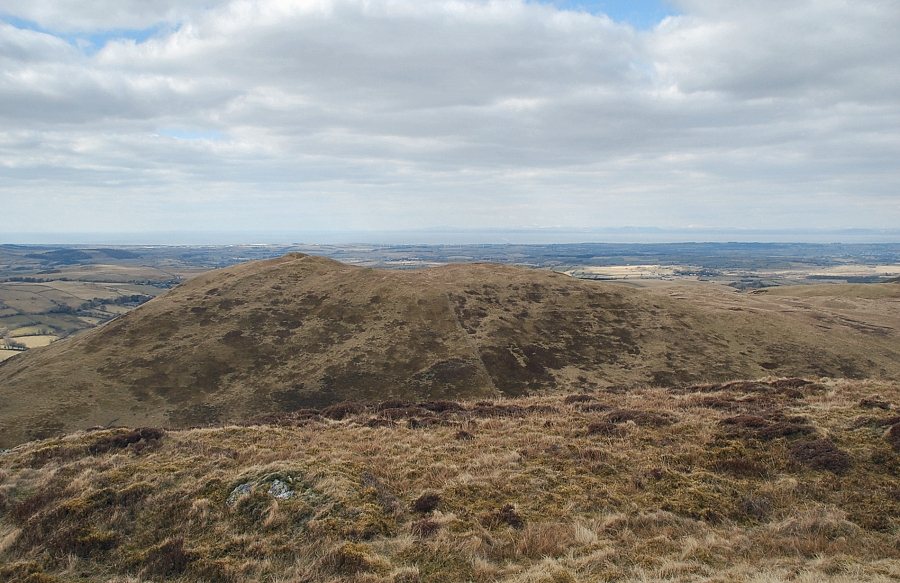
| The connecting ridge to Fellbarrow |
 |
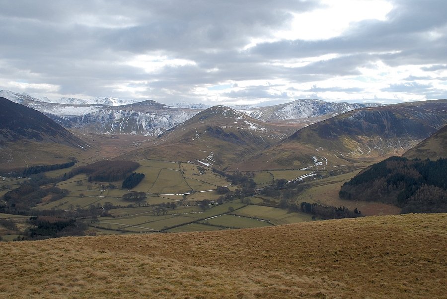
| The Vale of Lorton |
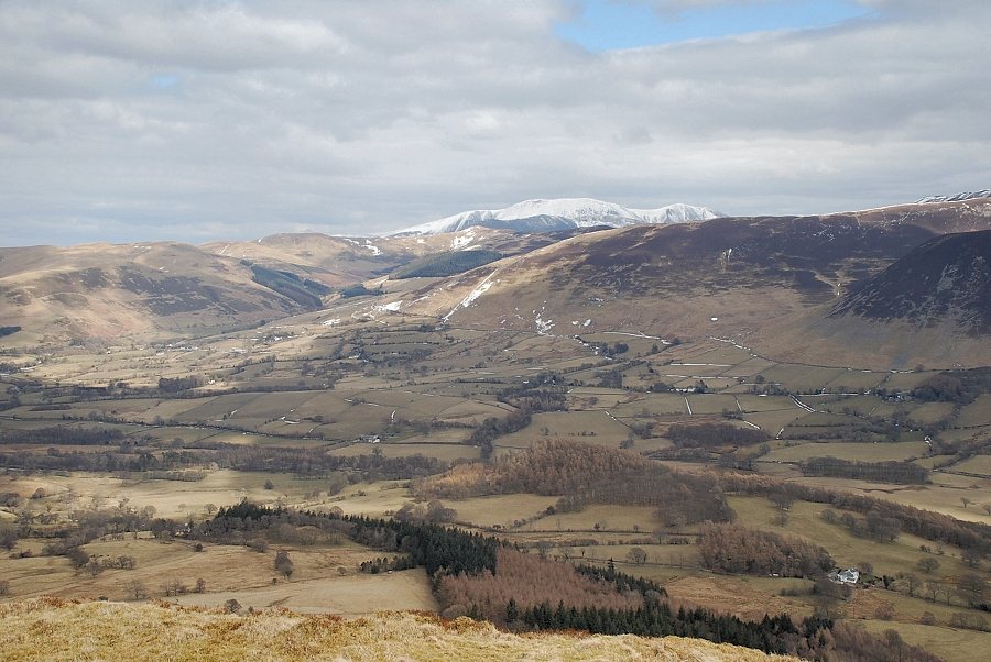 |
| Skiddaw above the Whinlatter Fells |
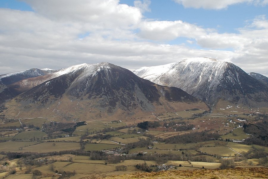 |
| Whiteside and Grasmoor from the summit of Low Fell |
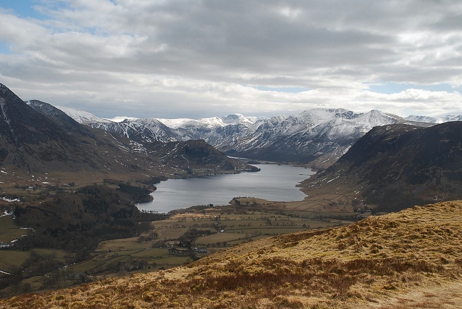 |
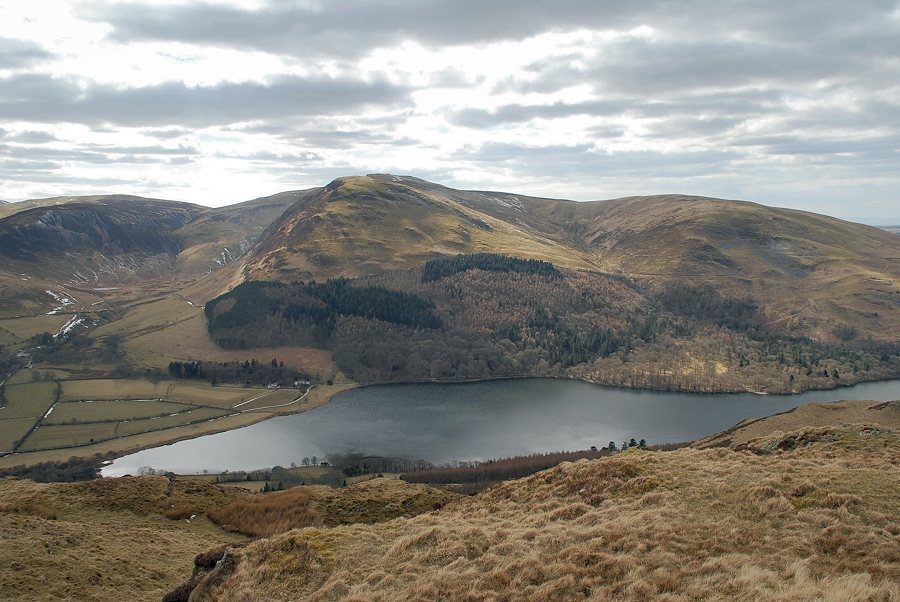
| Crummock Water from the summit of Low Fell |
 |
| Mellbreak and Hen Comb backed by Red Pike, Starling Dodd and Great Borne in the middle distance |
