 |
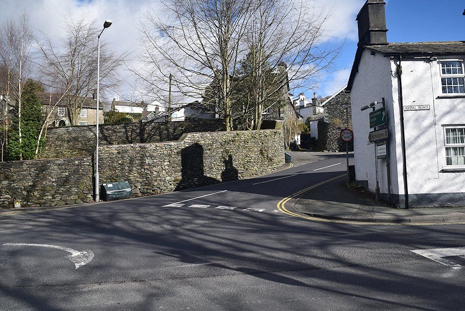
| The walk begins from the Rydal Road car park, crossing the mini roundabout onto Smithy Brow and then turning immediately into Nook Lane |
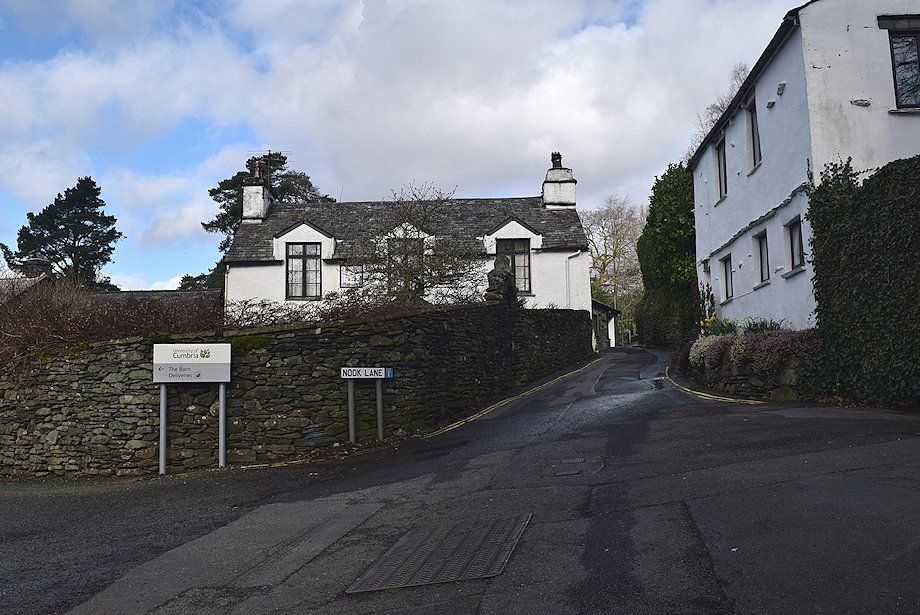 |
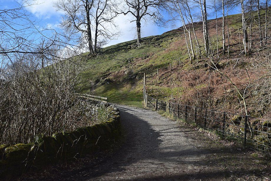
| Nook Lane leads to Low Sweden Bridge |
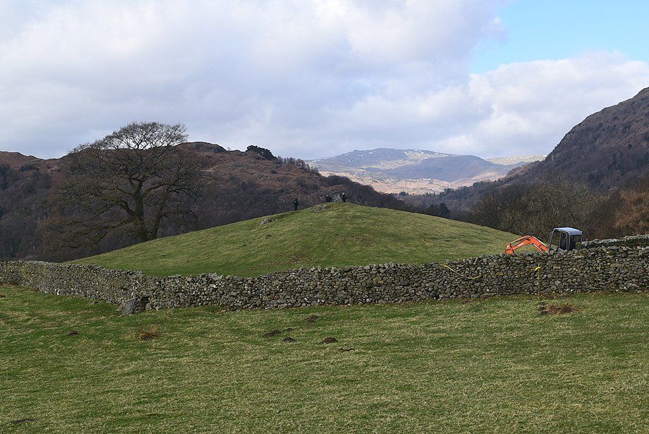 |
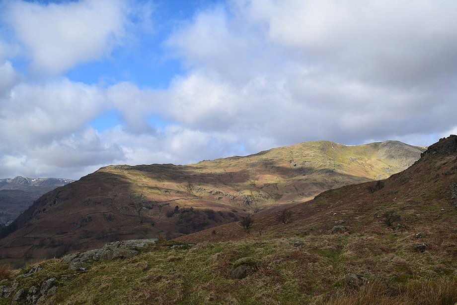
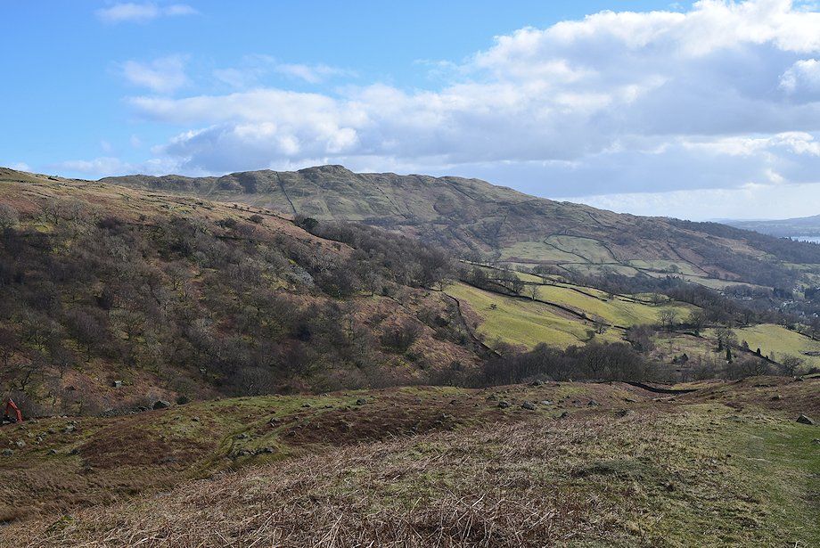
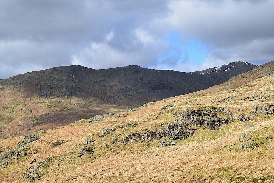
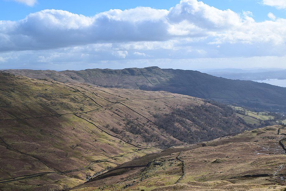
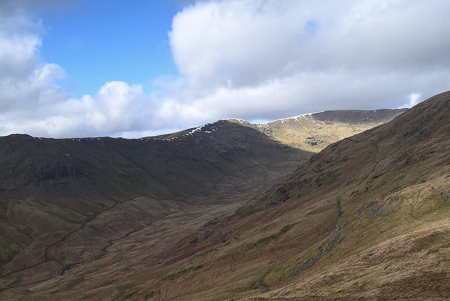
| Sergeant Man, High Raise and Tarn Crag appear between the slopes of Loughrigg Fell and Nab Scar from the walk along Nook Lane |
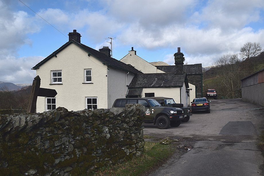 |
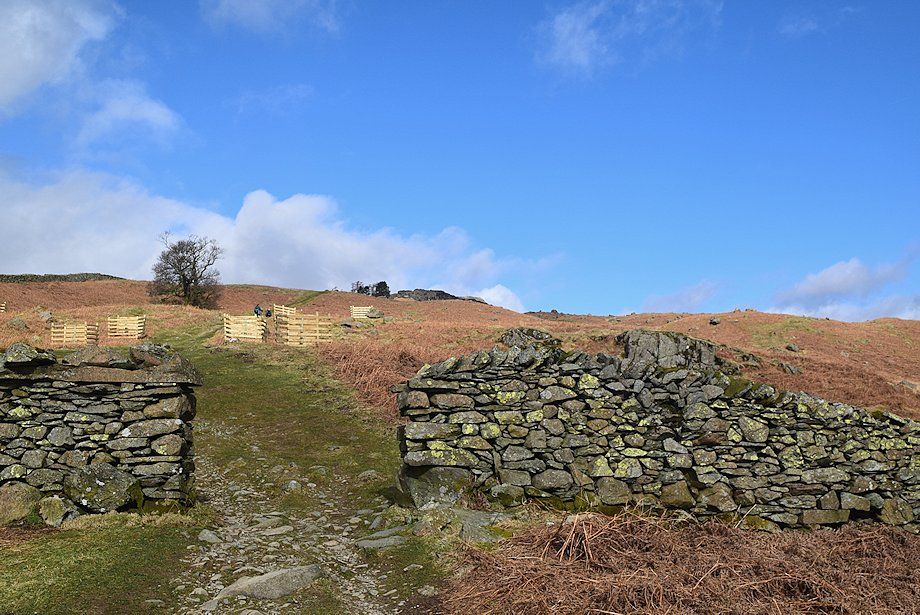
| The metalled lane ends at Nook End Farm, beyond the farmyard a rough track descends to cross Scandale Beck by Low Sweden Bridge |
 |
| Low Sweden Bridge over Scandale Beck |
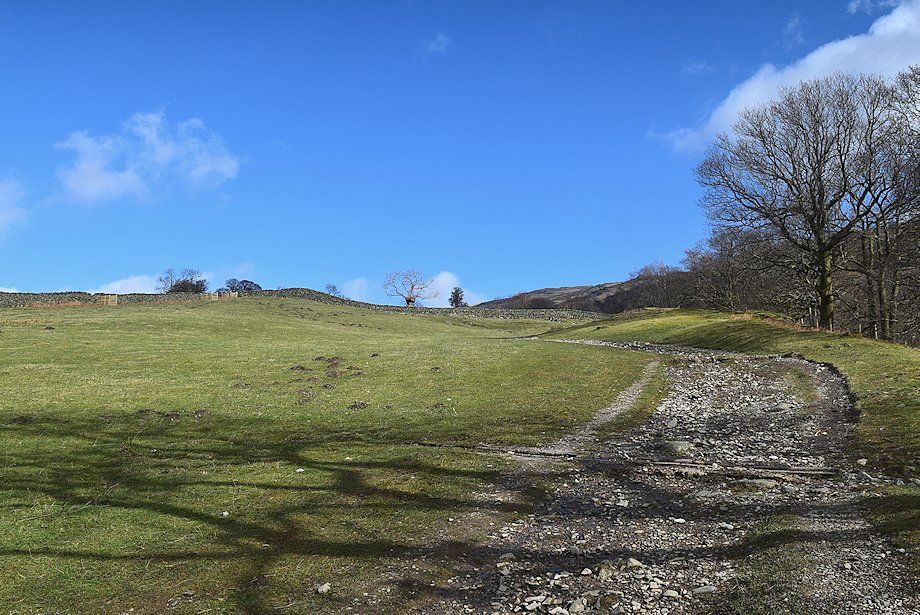 |
| Above Low Sweden Bridge the track turns back to the right and climbs through a couple of sheep pastures alongside Scandale Beck |
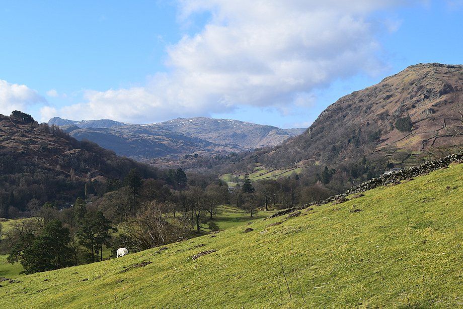 |
| Looking over Rydal Park to the Langdale Pikes and High Raise |
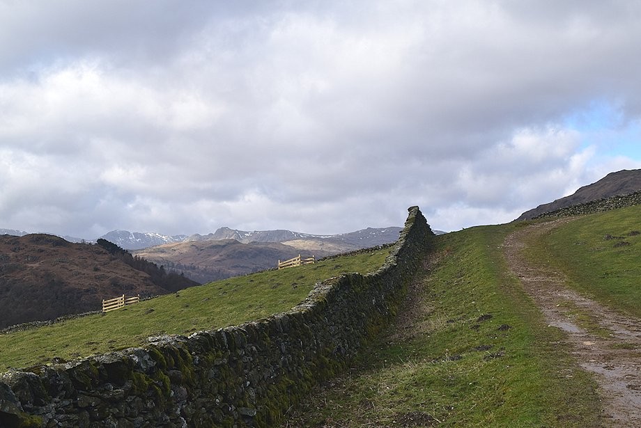 |
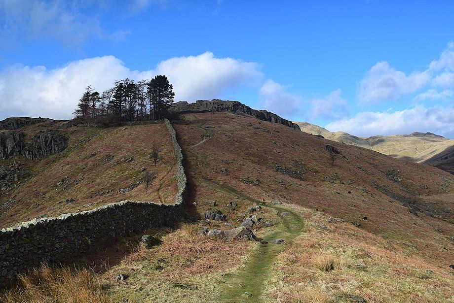
| Bowfell and the Langdale Pikes appear over Silver How as the track approaches the ridge wall, which will be followed all the way to the summit |
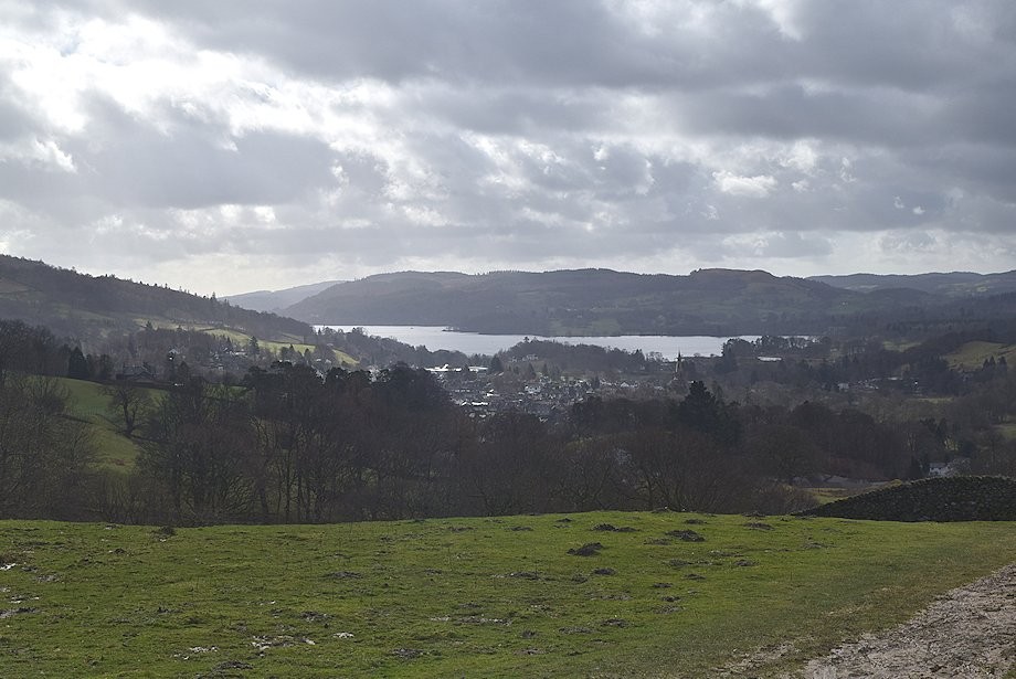 |
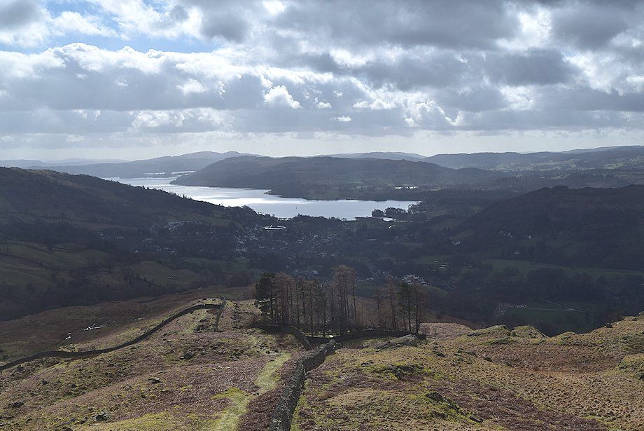
| Looking back to Ambleside and Windermere |
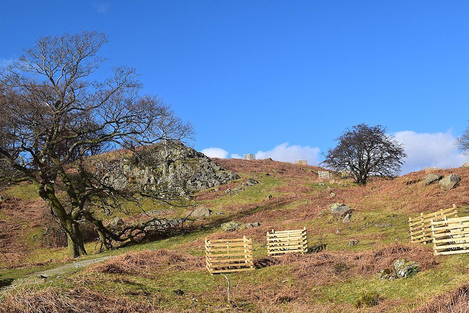 |
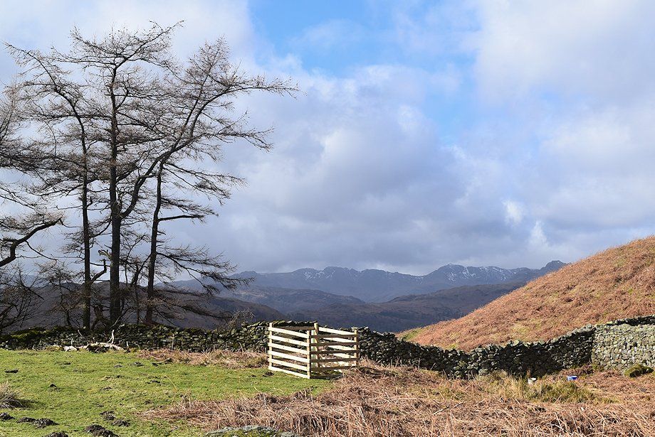
| There has been some extensive new tree planting on these lower slopes in recent years |
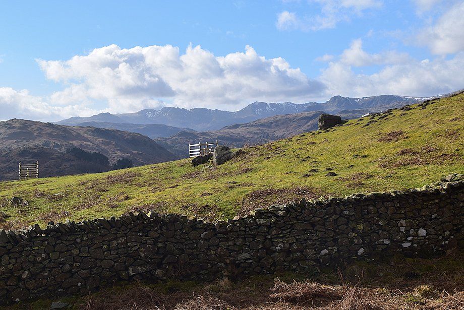 |
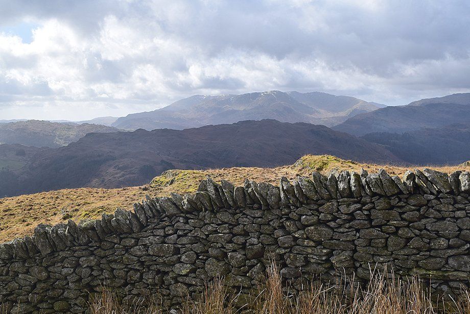
| Cold Pike, Pike o' Blisco, Crinkle Crags, Bowfell and the Langdale Pikes form the horizon on this view over the ridge wall |
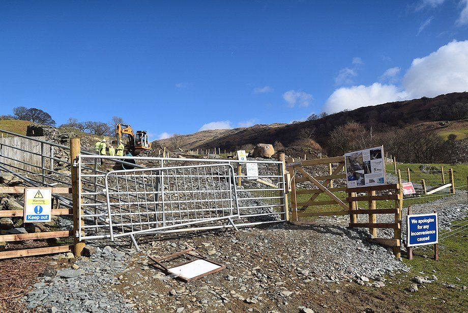 |
| At the time of this walk there was some major construction work going on, installing the pipeline for the Scandale Beck hydroelectric scheme. The path had been temporarily diverted through the workings. The scheme is due to be completed by September 2015 |
 |
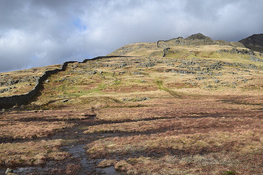
| Sweden Crag comes into view |
 |
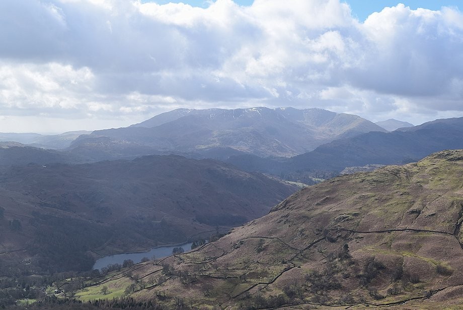
| Looking over to Crinkle Crags and Bowfell |
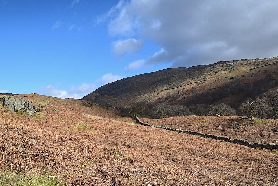 |
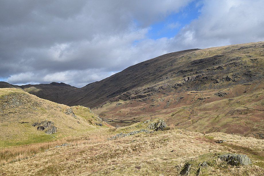
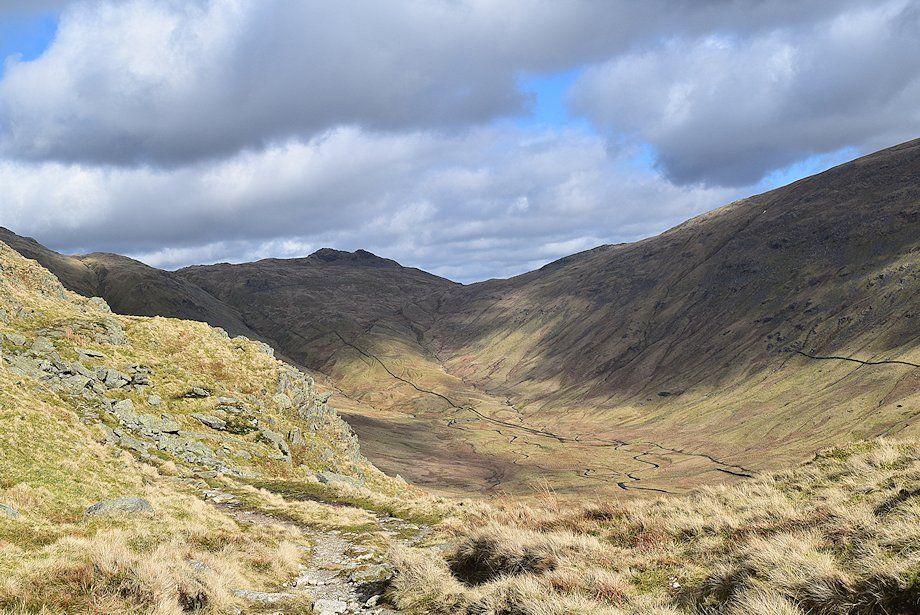
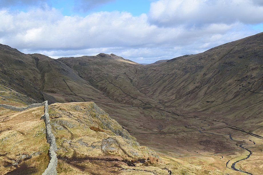
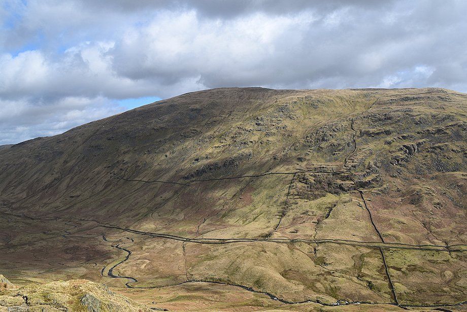
| The western slopes of Red Screes above Scandale |
 |
| At this point the path divides. The left branch continues to follow the ridge wall and crosses Sweden Crag via an awkward rock step. Those wishing to avoid that obstacle should stay with the right branch, the paths eventually reunite above Sweden Crag |
 |
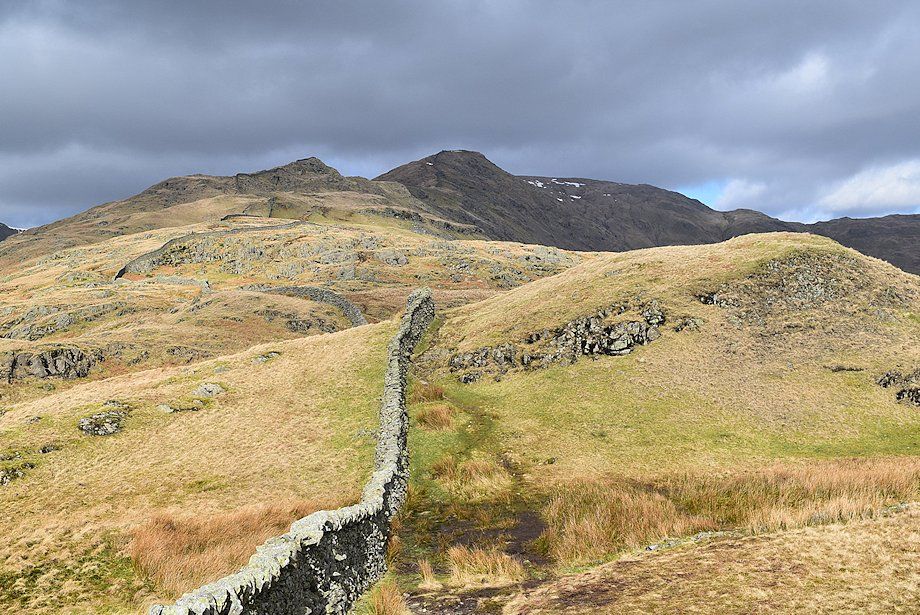
| Looking over the ridge wall towards Nab Scar, Heron Pike and Erne Crag |
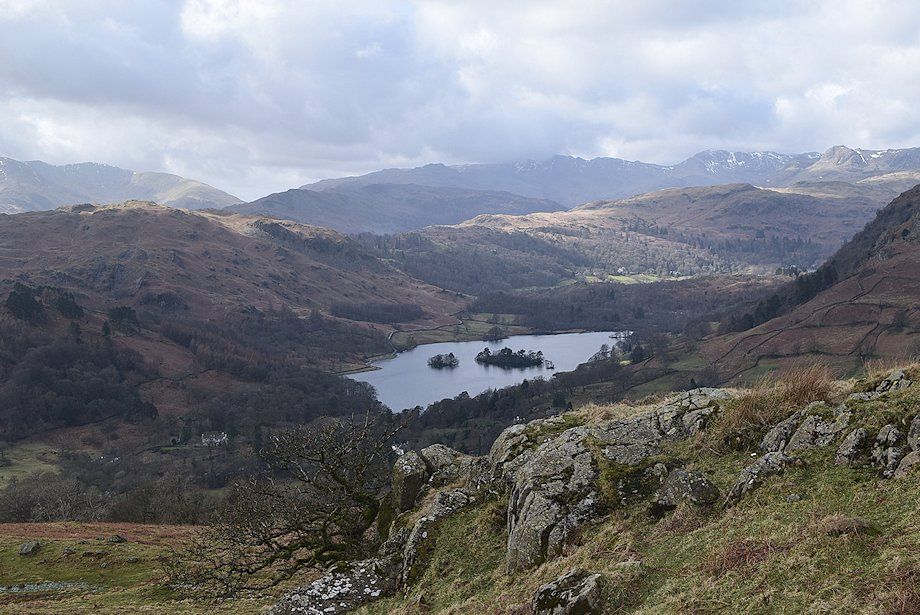 |
| Looking down on Rydal Water |
 |
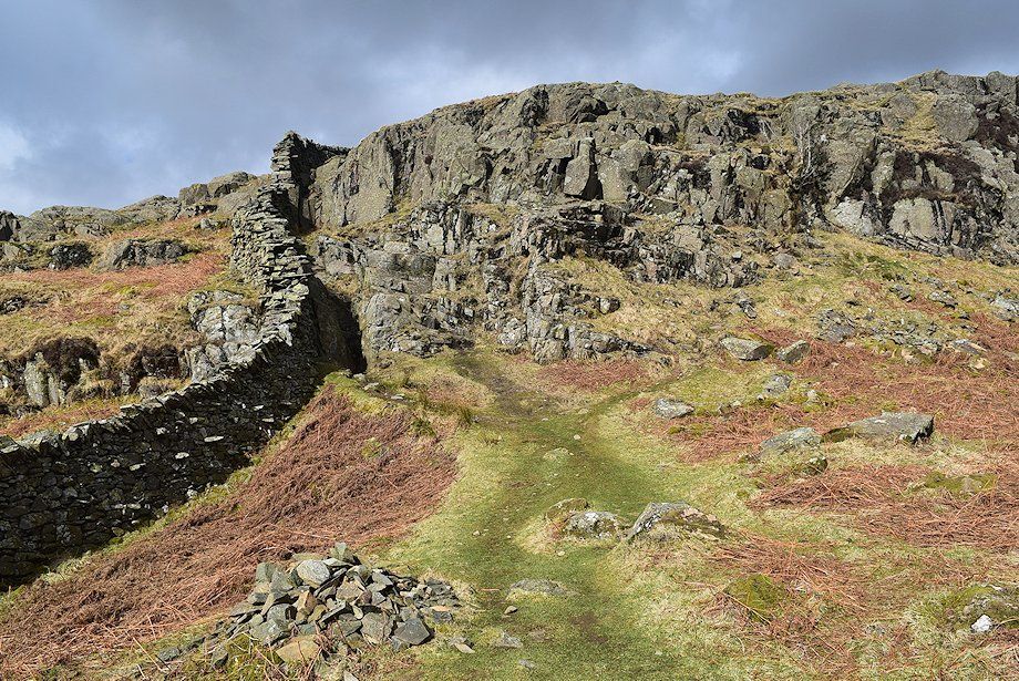
| The path meets and crosses an enclosure wall onto the open fellside below Sweden Crag |
 |
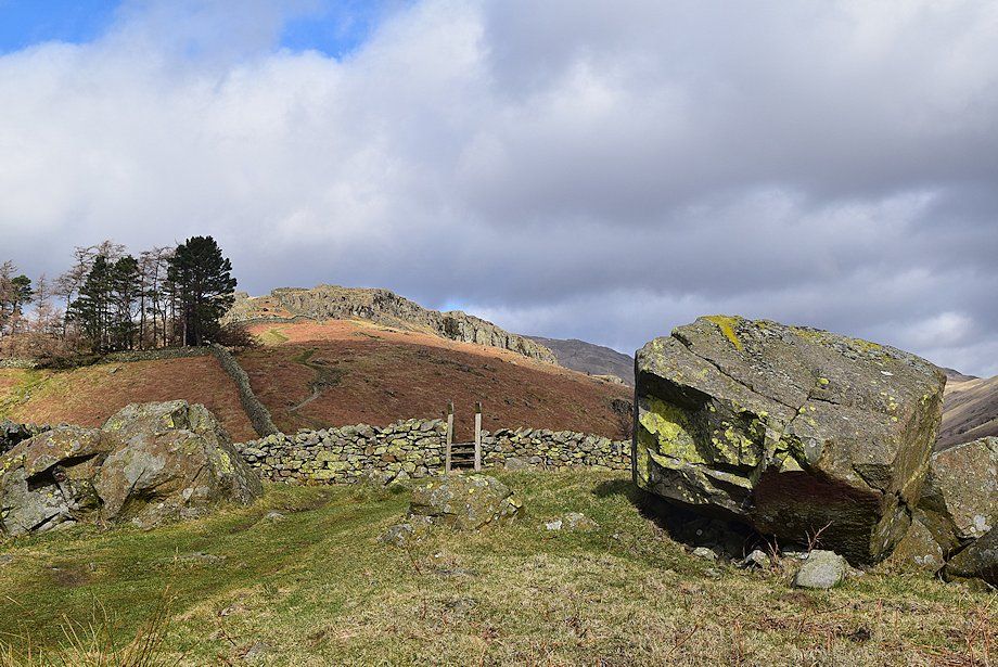
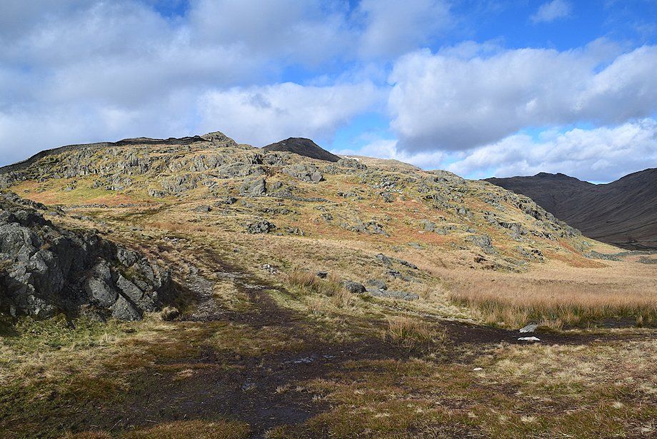
| The approach path to Sweden Crag |
 |
| Looking back towards Wansfell Pike |
 |
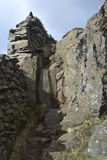
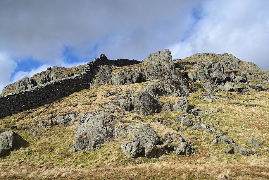
| Approaching the "rock step" on Sweden Crag which is about 10 feet high. The step can be a avoided by an easier alternative a few yards to the right which starts on a grass ledge below a holly tree. A thin path can be seen leading up to the ledge |
 |
 |
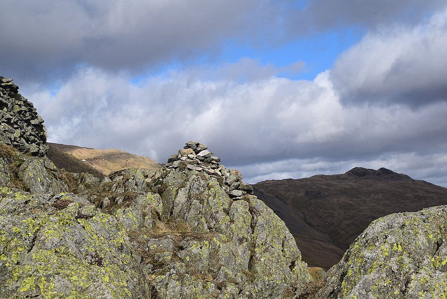
| The "rock step" on Sweden Crag |
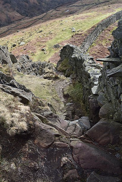
Looking down from the top of the "rock step" |
|
 |
| Heron Pike, Erne Crag and Great Rigg from the top of Sweden Crag |
 |
| Windermere from the top of Sweden Crag |
 |
| Little Hart Crag and Red Screes from the top of Sweden Crag |
 |
| Continuing on from Sweden Crag the path follows the wall over the rocky outcrops of Low and High Brock Crags |
 |
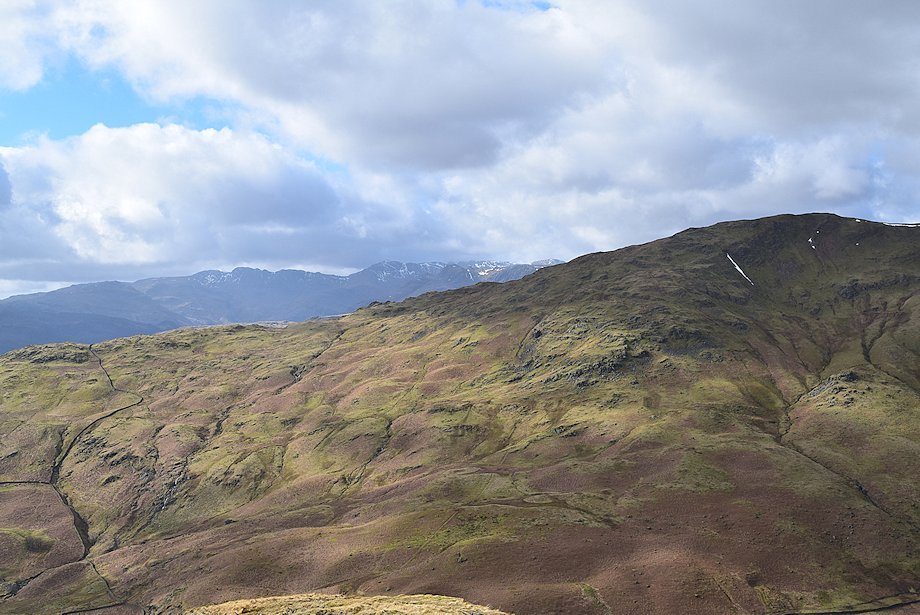
| Looking over the ridge wall, the Coniston Fells above Loughrigg Fell |
 |
| The path encounters a marshy area with a warning sign - 'DEEP BOG'. The sign, normally nailed to two posts, was lying flat on the ground. The bog does not appear all that hazardous but can be avoided by crossing the ridge wall over a step stile or simply circumventing it on the right |
 |
| Looking up to Low Pike and High Pike from the end of the bog |
 |
| The final rock outcrops below the summit of Low Pike |
 |
| The outcrops can be avoided by a path to the right which leads to a col on the north side of the Low Pike |
 |
| The summit cairn on Low Pike, the ridge wall occupies the highest point |
 |
| Little Hart Crag above Scandale Bottom from the summit of Low Pike |
 |
| Red Screes across Scandale from the summit of Low Pike |
 |
| Wansfell from the summit of Low Fell |
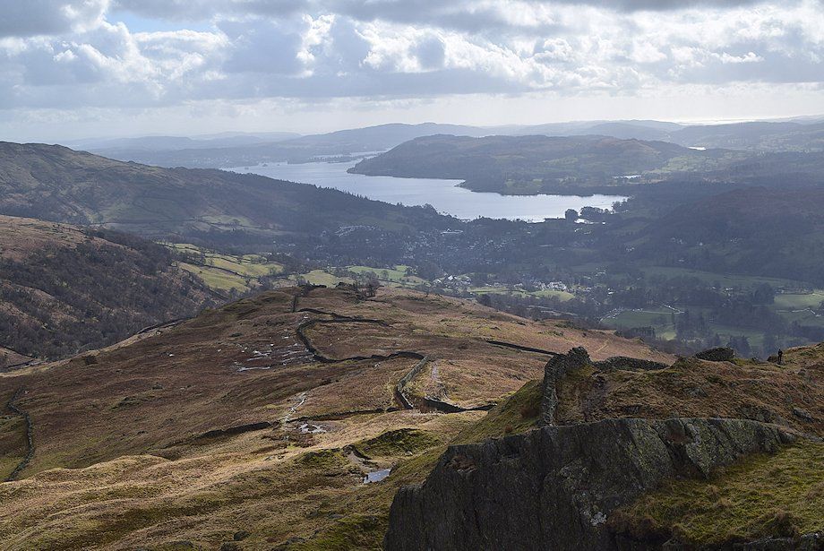 |
| Windermere from the summit of Low Pike |
 |
| The Coniston Fells from the summit of Low Pike |
 |
| Pike o' Blisco, Crinkle Crags, Bowfell and Scafell Pike over the Nab Scar ~ Heron Pike ridge |
 |
| Erne Crag, Great Rigg and Fairfield from the summit of Low Pike |
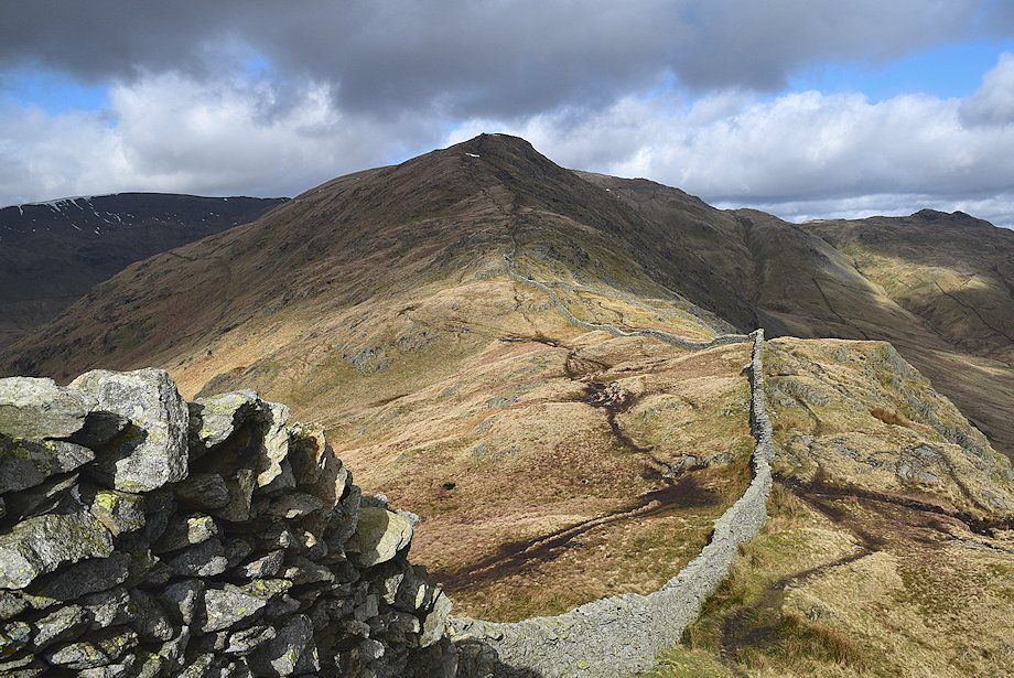 |
| The connecting ridge to the summit of High Pike |
