 |
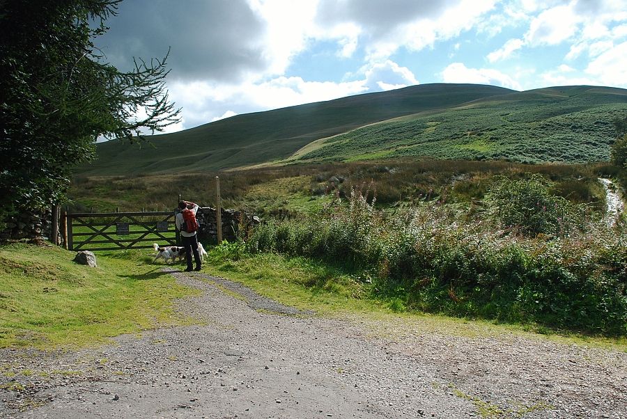
| The start of the walk at Longlands, a gate gives access to the old road to Green Head |
 |
| The old road crosses the northern slopes of Longlands Fell and is the most popular way of starting a round of the Uldale Fells |
 |
| Our route though turns right from the gate onto a path beside Longlands Beck |
 |
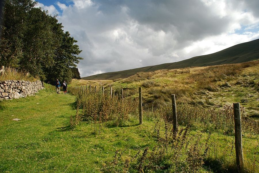
| The path alongside Longlands Beck |
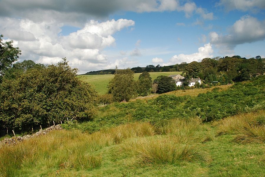 |
| Looking back to Longlands |
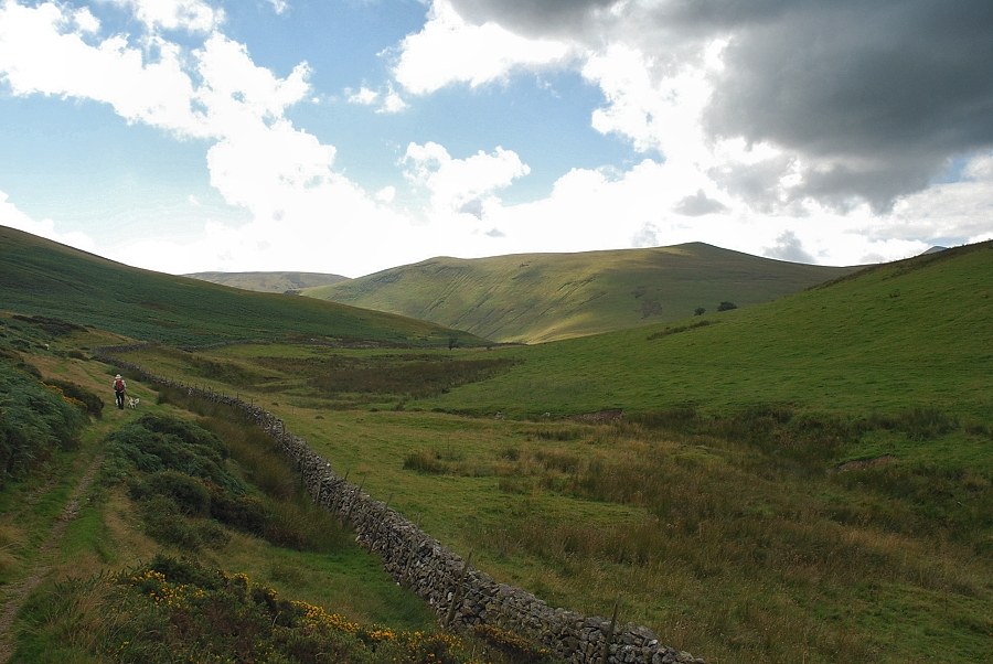 |
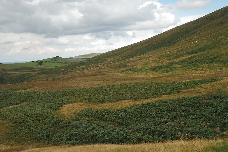
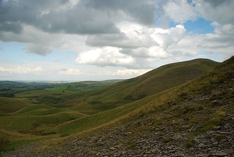
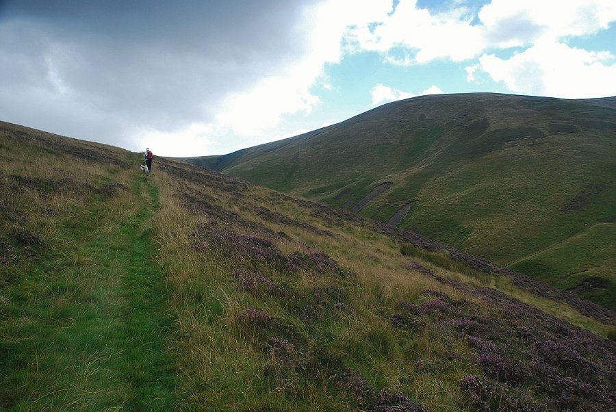
| The path runs beneath the western slopes of Longlands Fell and Lowthwaite Fell |
 |
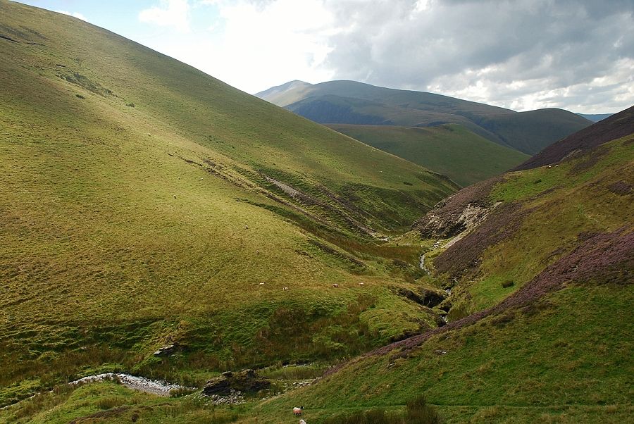
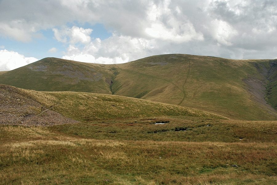
| Great Cockup from the path below Lowthwaite Fell |
 |
| Sunlight illuminates the summit of Meal Fell and the narrow pass of Trusmadoor |
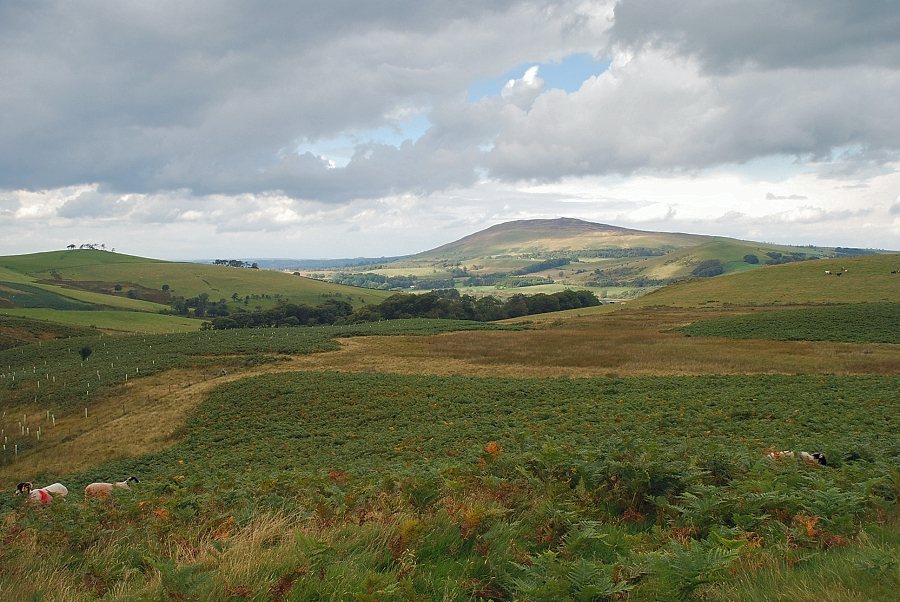 |
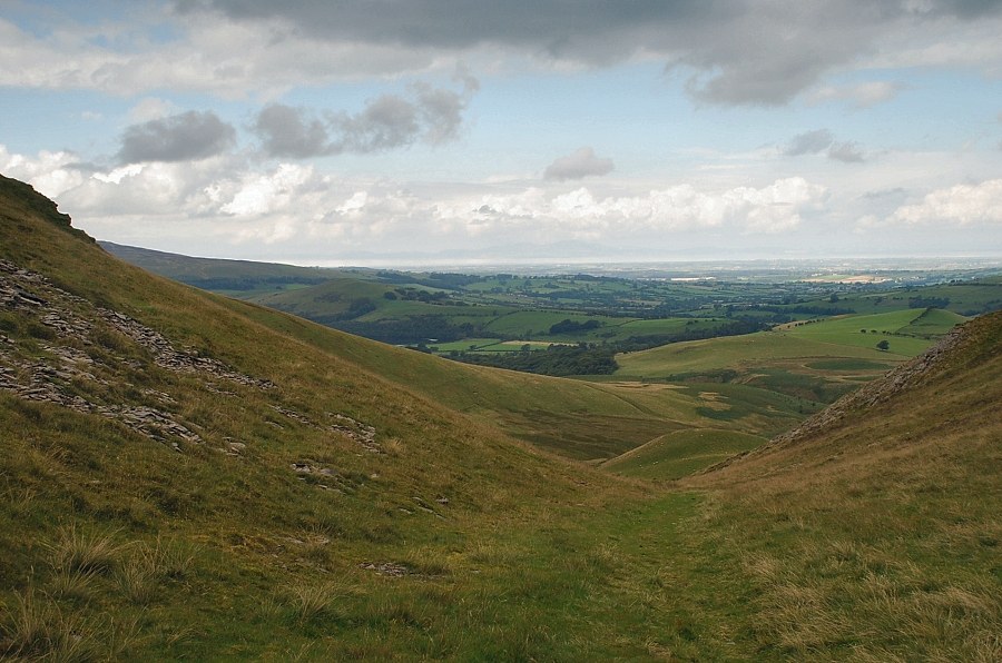
| Looking over to Binsey |
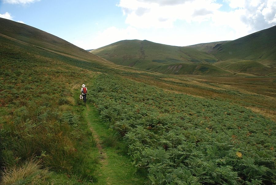 |
| Continuing on, the path climbs slightly before descending to cross the River Ellen which at this point is no more than a narrow stream |
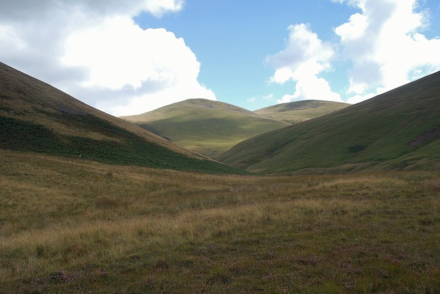 |
| Looking left to Little Sca Fell and Great Sca Fell at the head of the River Ellen |
 |
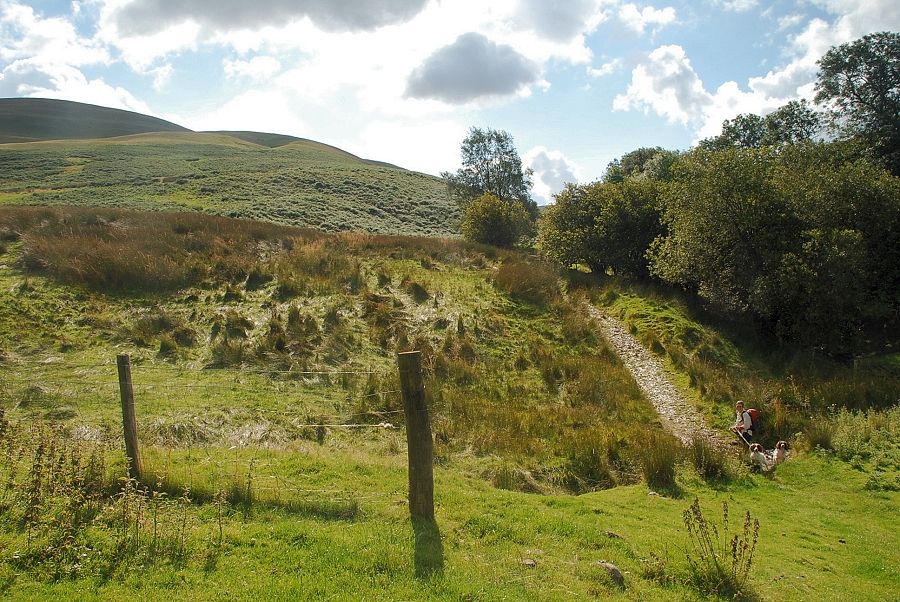
| On crossing the River Ellen the path winds its way around some large moraines |
 |
| Looking back to the path alongside Lowthwaite Fell |
 |
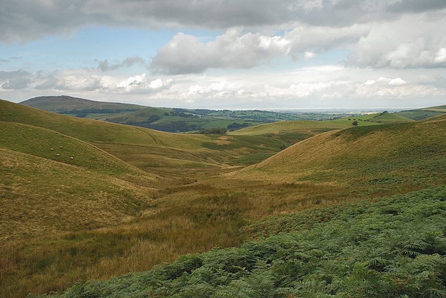
| Looking over the the course of the River Ellen towards Binsey |
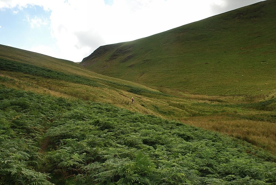 |
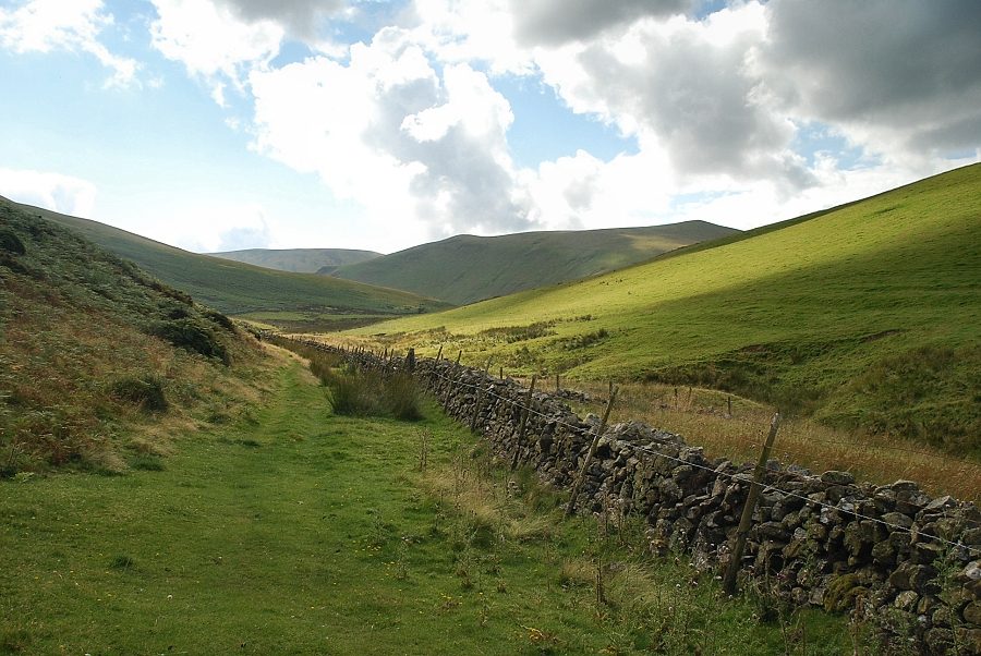
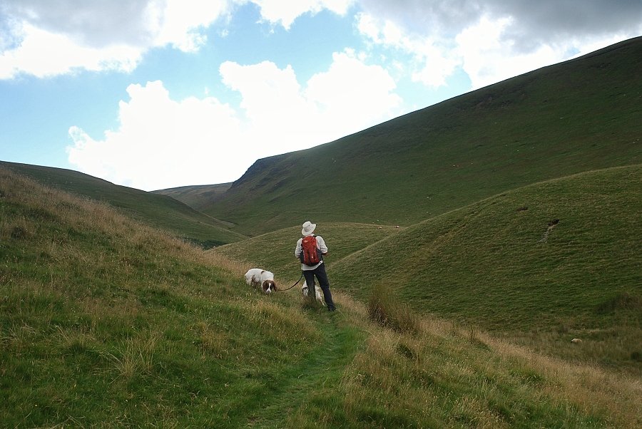
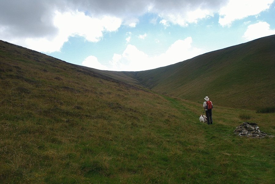
| Climbing towards Trusmadoor |
 |
| Binsey and the Solway coast from the path to Trusmadoor |
 |
| Approaching Trusmadoor |
 |
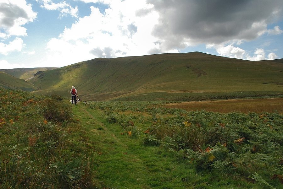
| Lowthwaite Fell from the path below Trusmadoor |
 |
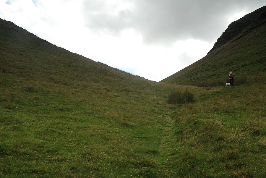
| Looking north-west to the Solway Firth from Trusmadoor |
 |
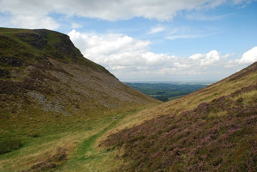
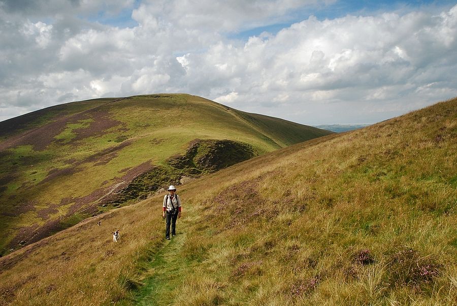
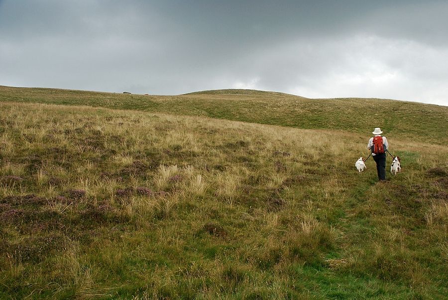
| A steep path climbs directly from Trusmadoor to the summit of Meal Fell, but it is much easier to continue through the pass and follow a broad grass path rising across the southern flank of the fell |
 |
| Looking back to Trusmadoor from the start of the path along the southern flank of Meal Fell |
 |
| Looking down on Burntod Gill from the path |
 |
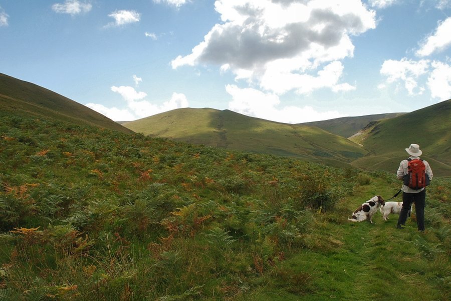
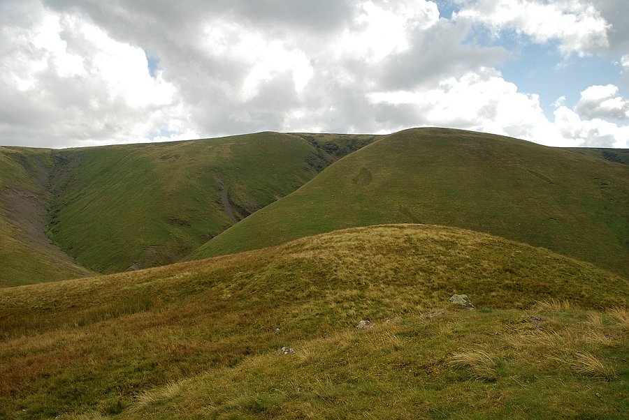
| Looking back towards Great Cockup |
 |
| The path climbs high above Frozen Fell Gill |
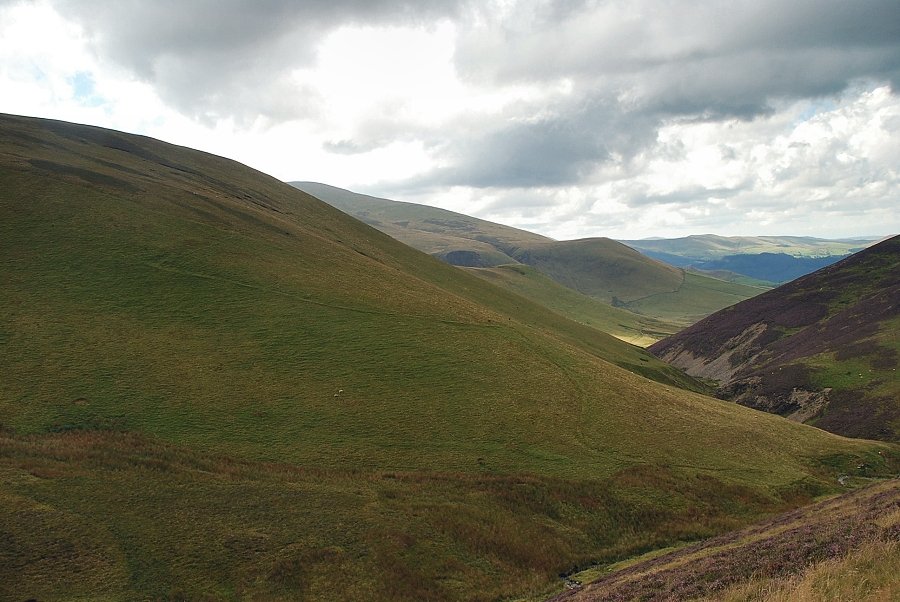 |
| Looking across the slopes of Burn Tod to Broad End and Cockup |
 |
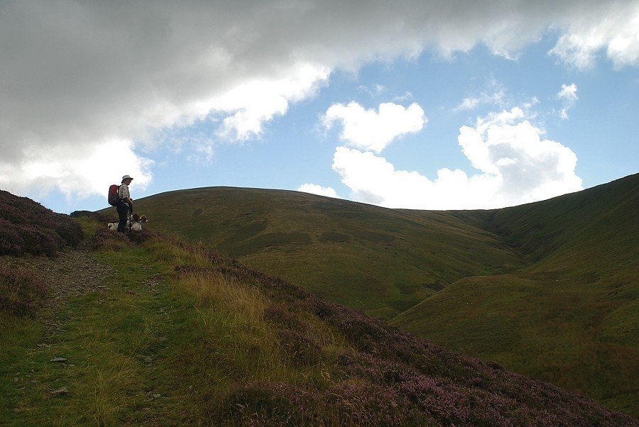
| The path across the southern flank is only followed for a few hundred yards as it by-passes the summit of Meal Fell bound for Great Sca Fell |
 |
| A faint path turns off it when the summit of Meal Fell comes into view |
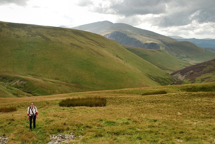 |
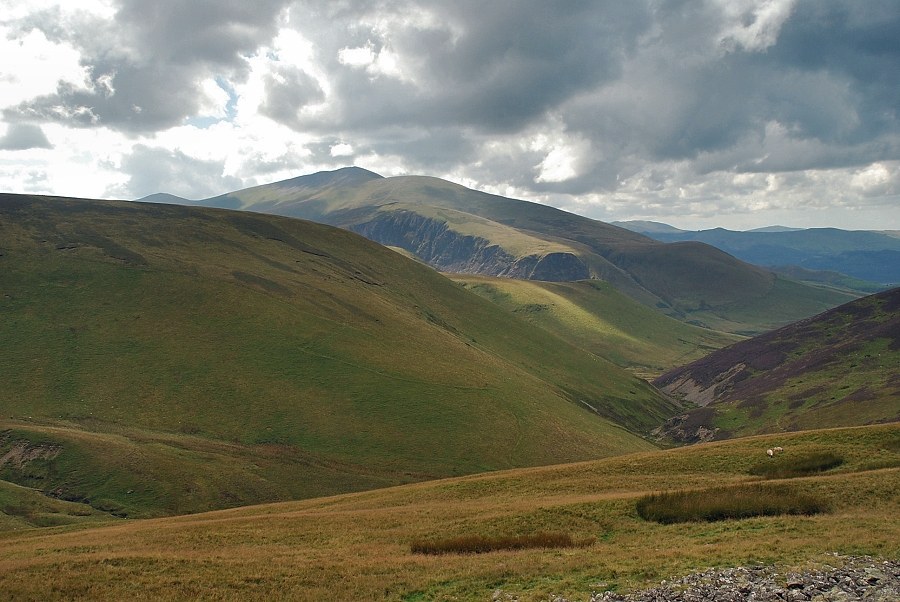
| Looking back to Skiddaw |
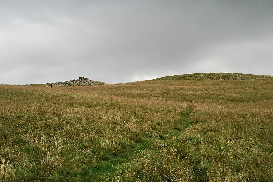 |
| Approaching the summit of Meal Fell |
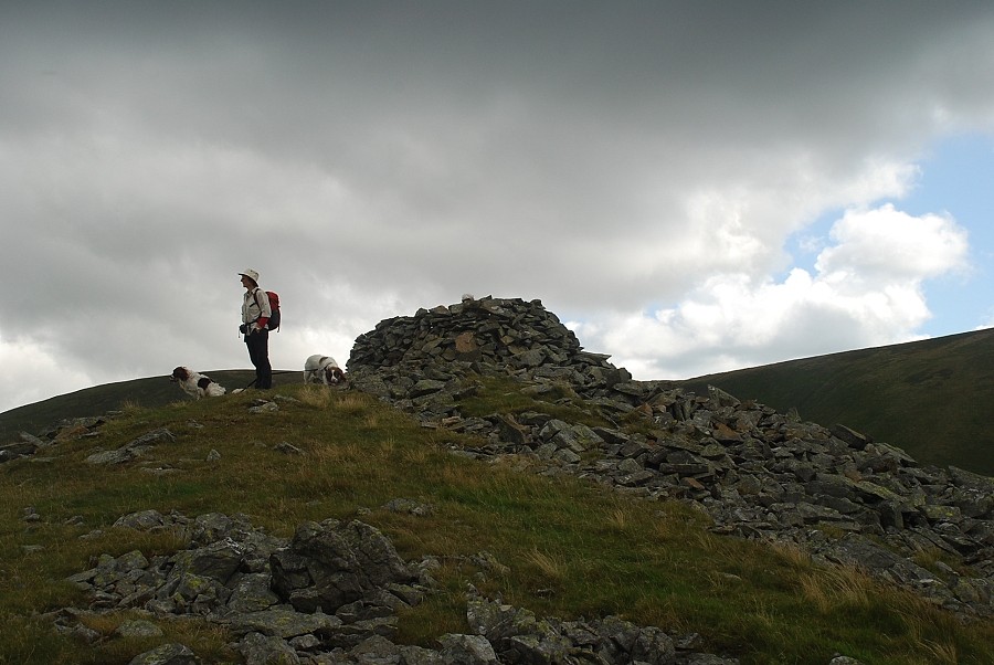 |
| The summit wind shelter on Meal Fell |
 |
| Great Cockup from the summit of Meal Fell |
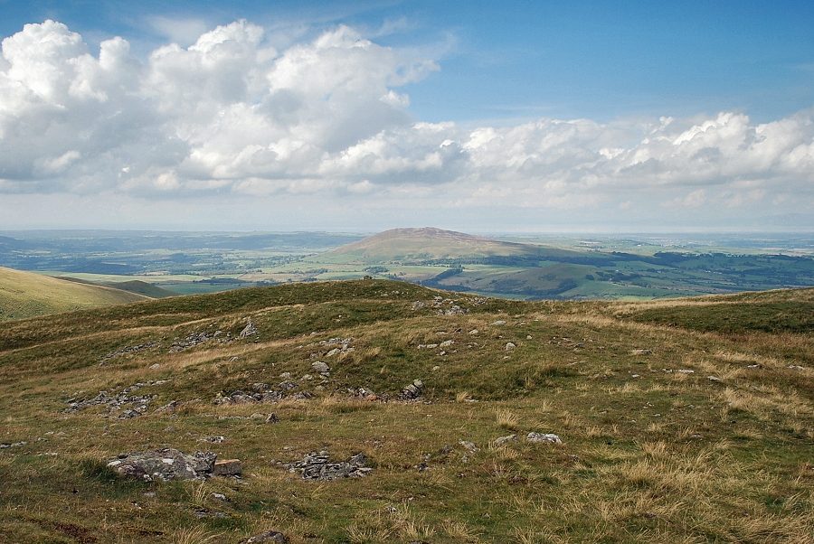 |
| Binsey from the summit of Meal Fell |
 |
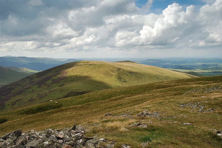
| Brae Fell from the summit of Meal Fell, the cairned east top on the right appears to be slightly higher than the official summit |
 |
| Little Sca Fell and Great Sca Fell |
 |
| Frozen Fell and the extensive summit plateau of Knott the highest of the Caldbeck Fells |
 |
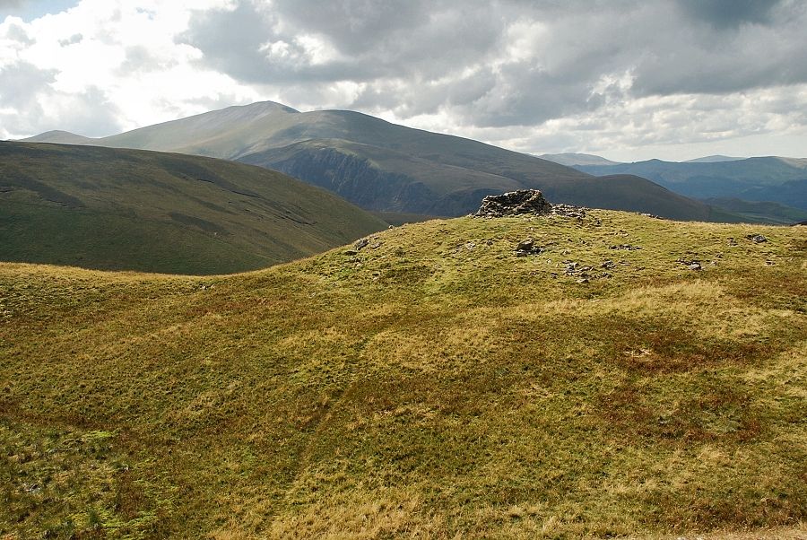
| Skiddaw from the summit of Meal Fell |
 |
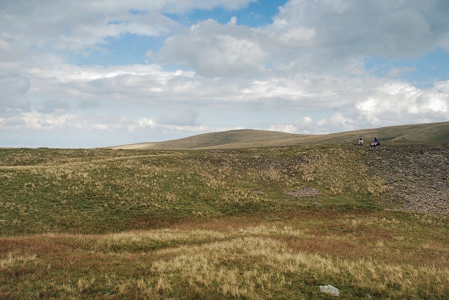
| The summit of Meal Fell from the east top |
