 |
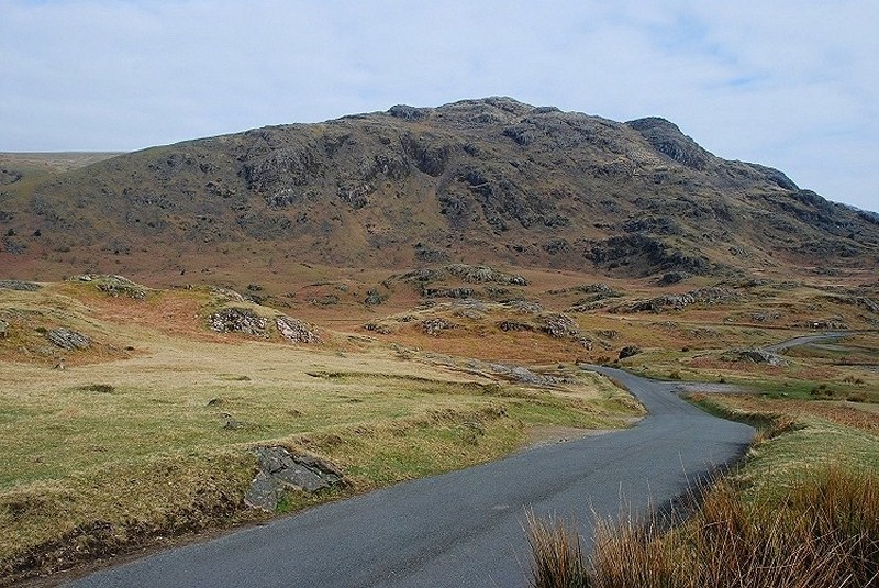
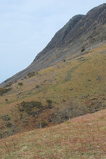
| Middle Fell from the Wasdale road, its eastern flank is well defended by crags. This route avoids all difficulties by ascending the south ridge, seen here rising from the left |
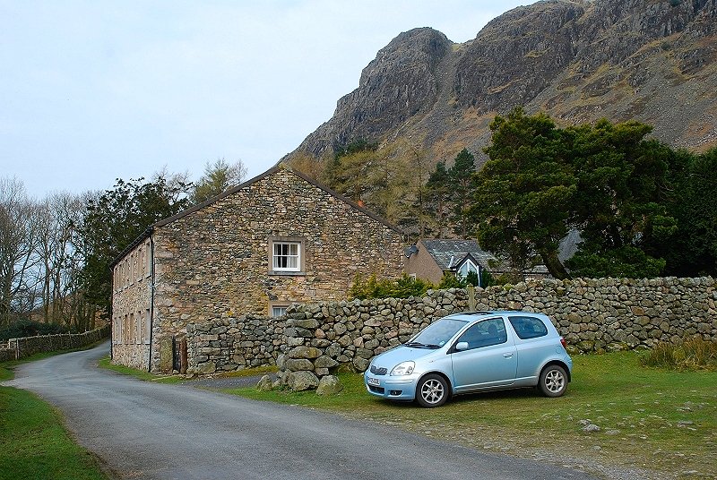 |
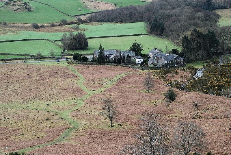
| Greendale nestling beneath the crags of Buckbarrow is the starting point of this walk. There is ample parking on the wide grass verge |
 |
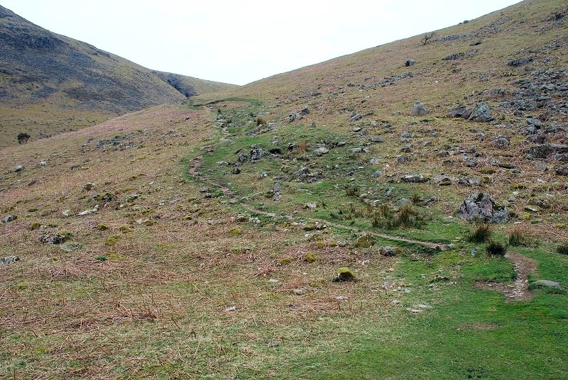
| The path rises towards Greendale Gill and the foot of the south ridge |
 |
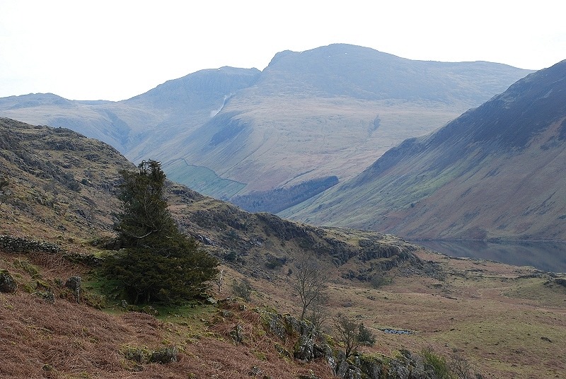
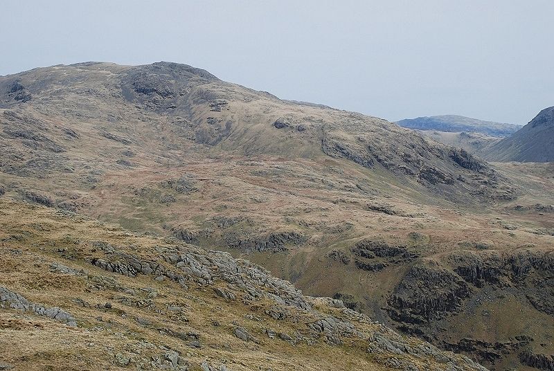
| The view along the valley to Lingmell, Scafell Pike and Scafell from the start of the walk |
 |
| Looking back to Greendale from midway up the path to the ridge |
 |
| The Scafells from the same point |
 |
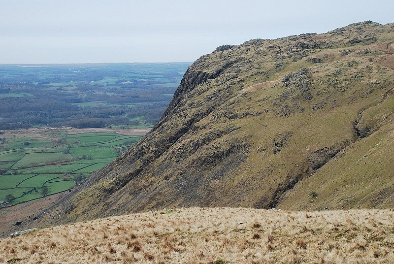
| The steep face of Buckbarrow over Greendale Gill |
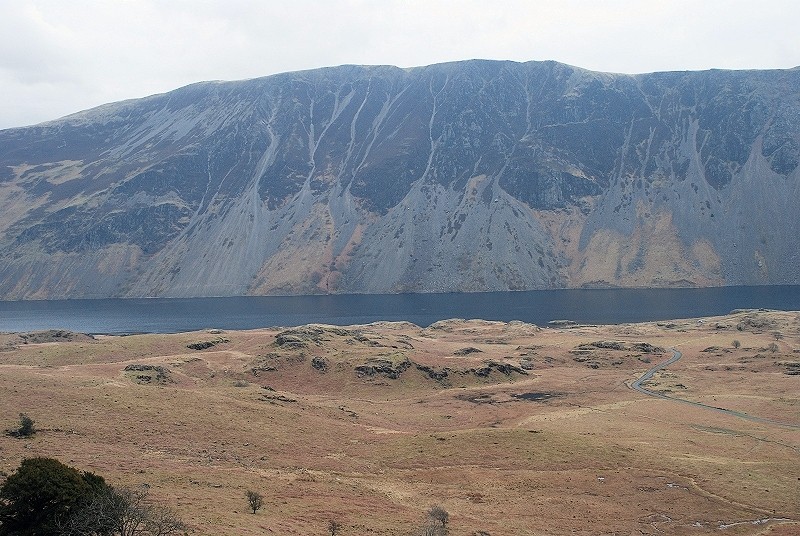 |
| Illgill Head and The Screes above Wastwater |
 |
| The path continues on to meet the south ridge |
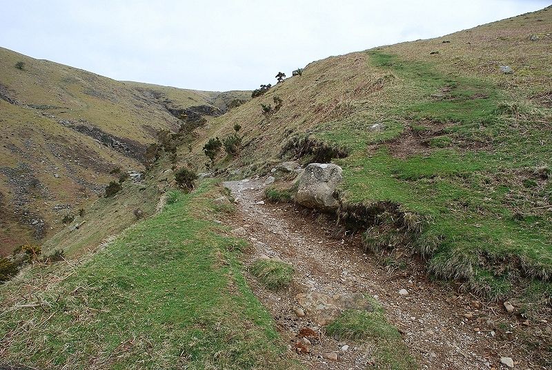 |
| As the path levels and enters Greendale Gill, a fainter path branches off it to begin a curving ascent of the south ridge |
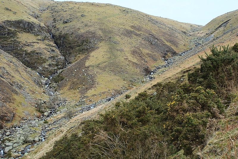 |
| The main path continues up the gill to Greendale Tarn. On the other side of the gill are the fine ravines and waterfalls of Tongues Gills |
 |
| Looking back to Greendale Gill from the lower slopes of the south ridge |
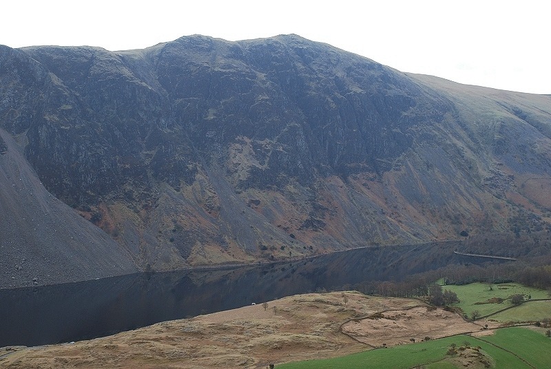 |
| Whin Rigg towering above the calm surface of Wastwater |
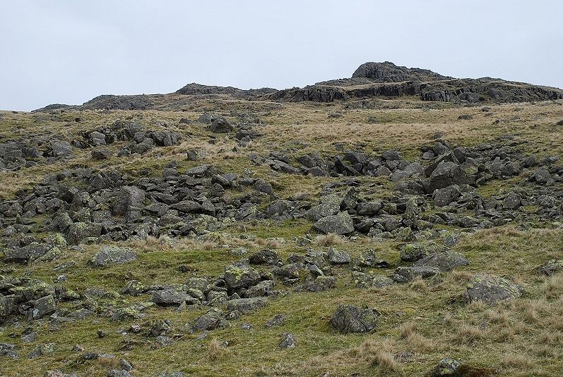 |
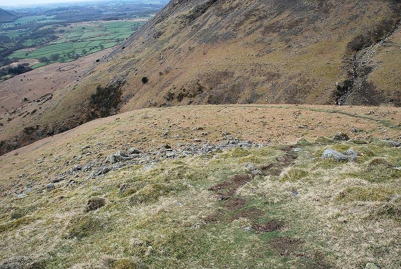
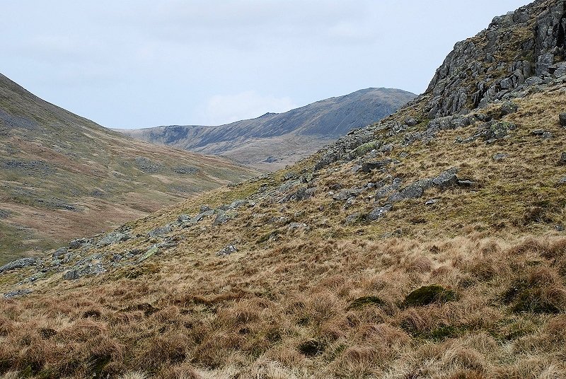
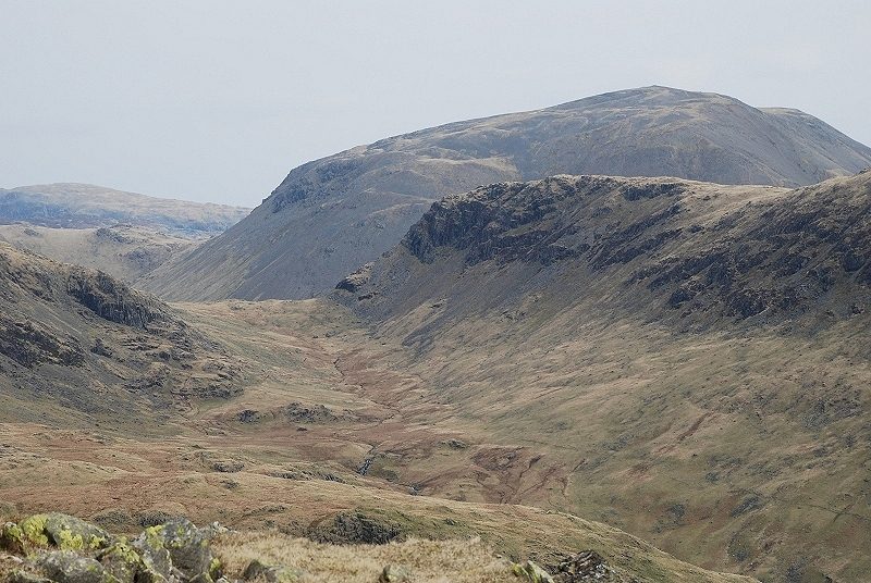
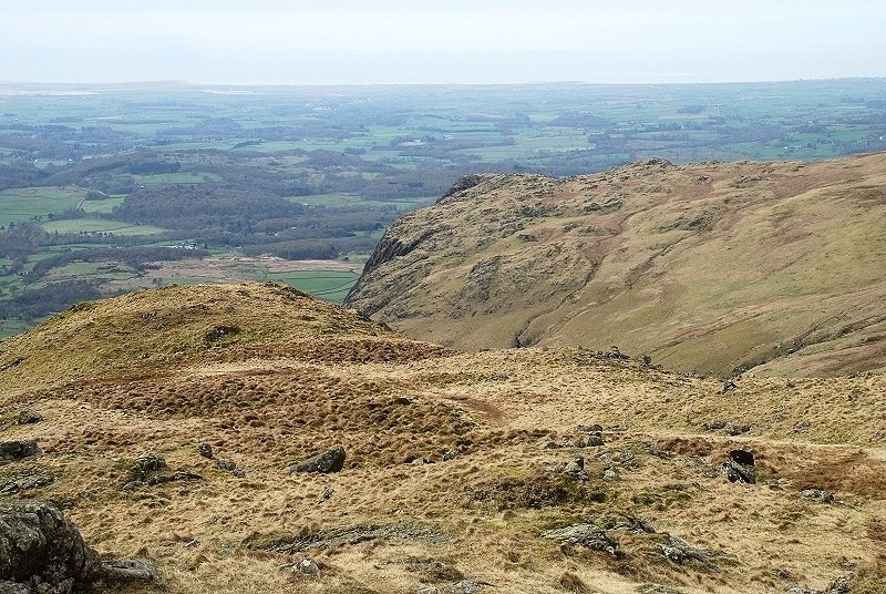
| The ridge broadens as a group of rock tors come into view. The summit is still some distance away though and out of view beyond the left skyline. The path is a little fainter over this section |
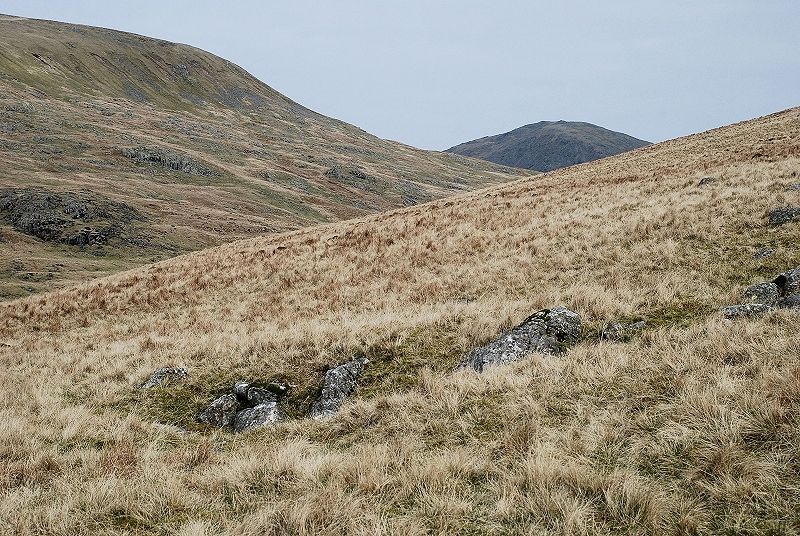 |
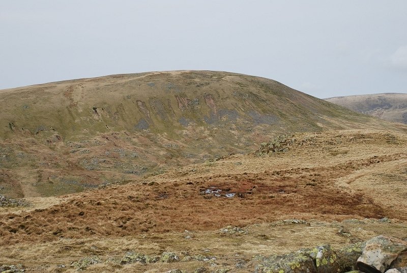
| The summit of Haycock makes an appearance with the slopes of Seatallan rising on the left |
 |
| Looking back to Buckbarrow from the climb |
 |
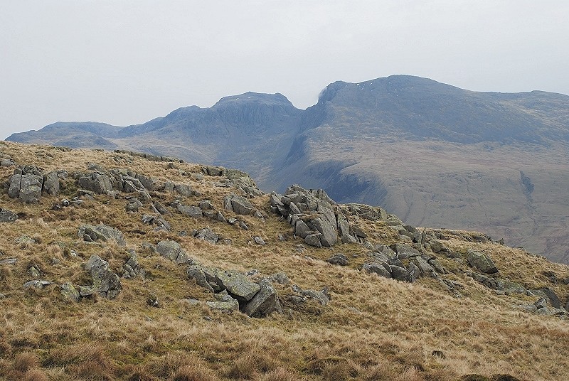
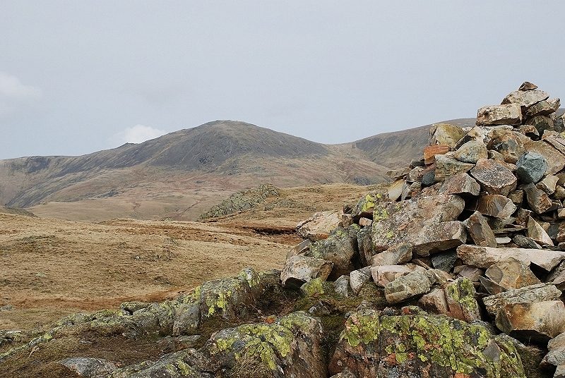
| Another view of Haycock from higher up the ridge. Wainwright commented that this simple climb seems longer than one would expect and other guidebook authors have agreed with him. Perhaps it is because the views are rather limited on this side of the fell |
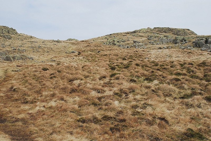 |
| At last the summit comes within sight, seen here on the right. Even after 45 years of Wainwright baggers plodding their way up this route the path is still remarkably faint |
 |
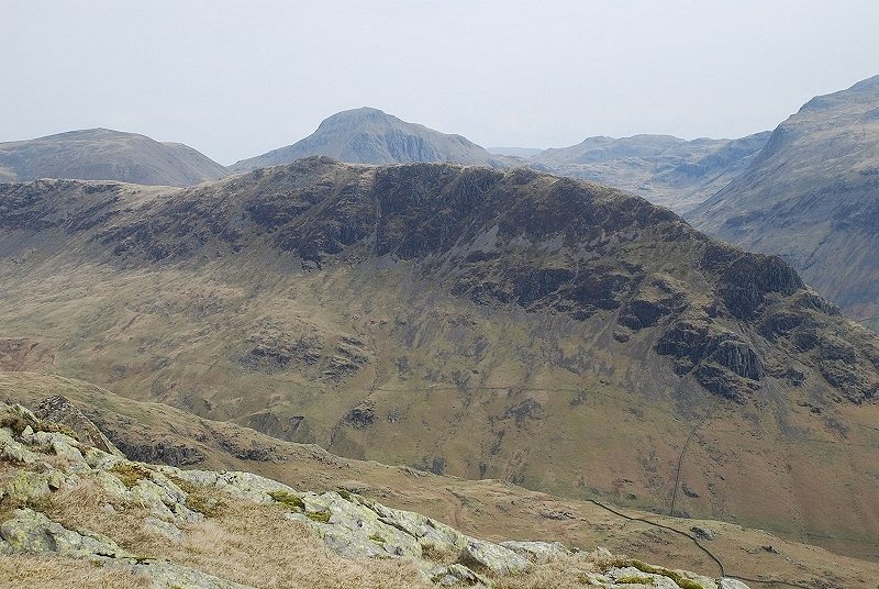
| The view opens out on the approach to the summit. Over the crest of the ridge, Lingmell overtopped by Great End, Broad Crag, Scafell Pike and Scafell |
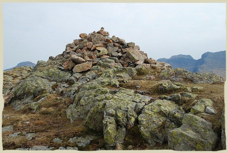 |
| The summit cairn set on a rock platform Middle Fell - page 5 |
 |
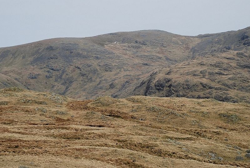
| Looking north west from the summit to Seatallan with Caw Fell on the right |
 |
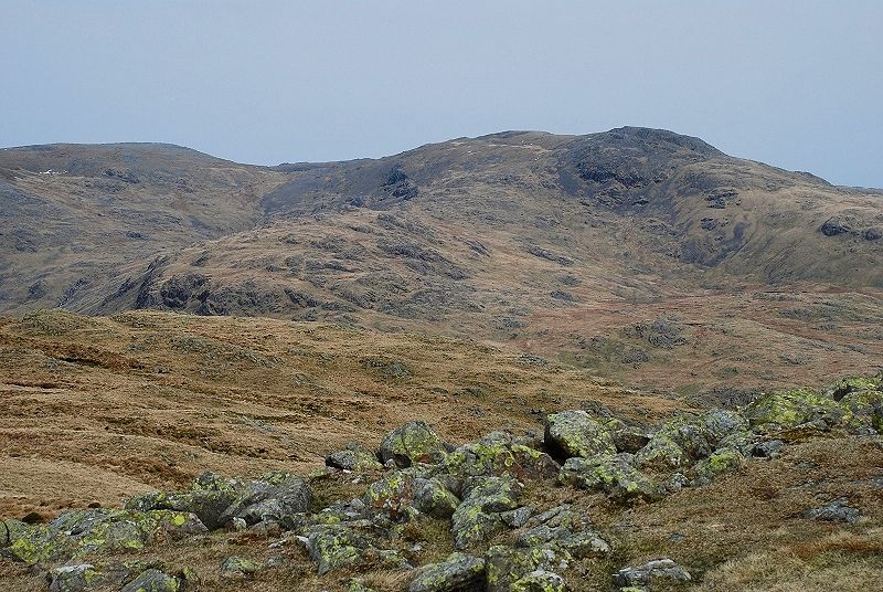
| Turning clockwise, Haycock with the west ridge of Scoat Fell rising behind the summit cairn |
 |
| Scoat Fell and the connecting ridge to Red Pike |
 |
| Scoat Fell and Red Pike |
 |
| Red Pike with Dale Head on the right horizon |
 |
| Dore Head at the head of Over Beck with Stirrup Crag on the northern end of Yewbarrow overtopped by Kirk Fell |
 |
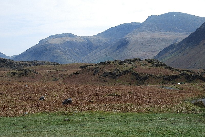
| Looking across Yewbarrow to Kirk Fell, Great Gable and Glaramara |
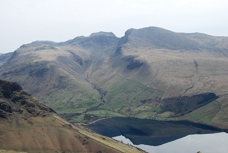 |
| The Scafells above Wastwater |
 |
| Whin Rigg |
 |
| Looking back over the upper part of the south ridge to Buckbarrow |
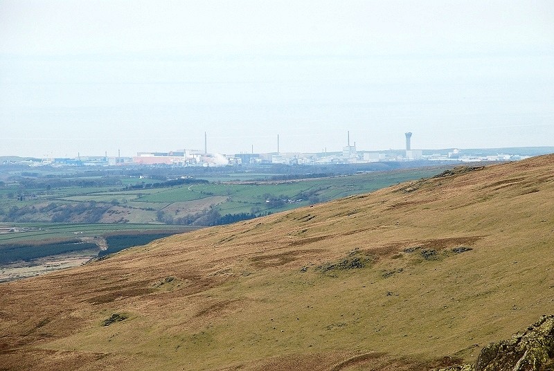 |
| Zooming in across the lower slopes of Seatallan to the Sellafield nuclear site which is around 8 miles away |
