 |
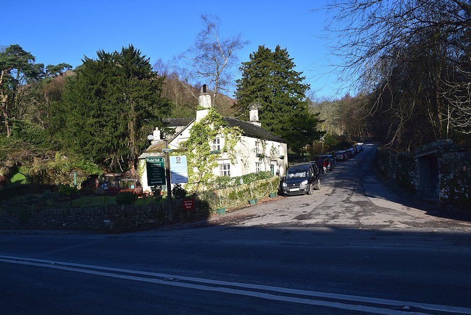
| The lane which leads up to Rydal Mount is the starting point for this walk |
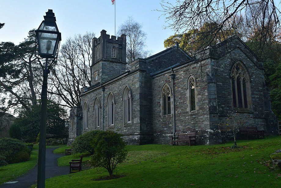 |
| St. Mary's Church |
 |
| Cars can be parked along the lane beside the church but are discouraged near the entrances to Rydal Hall and Rydal Mount |
 |
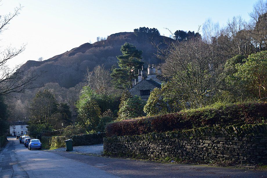
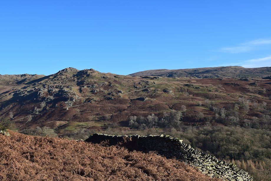
| Nab Scar from the lane below Rydal Mount and Mount Cottages |
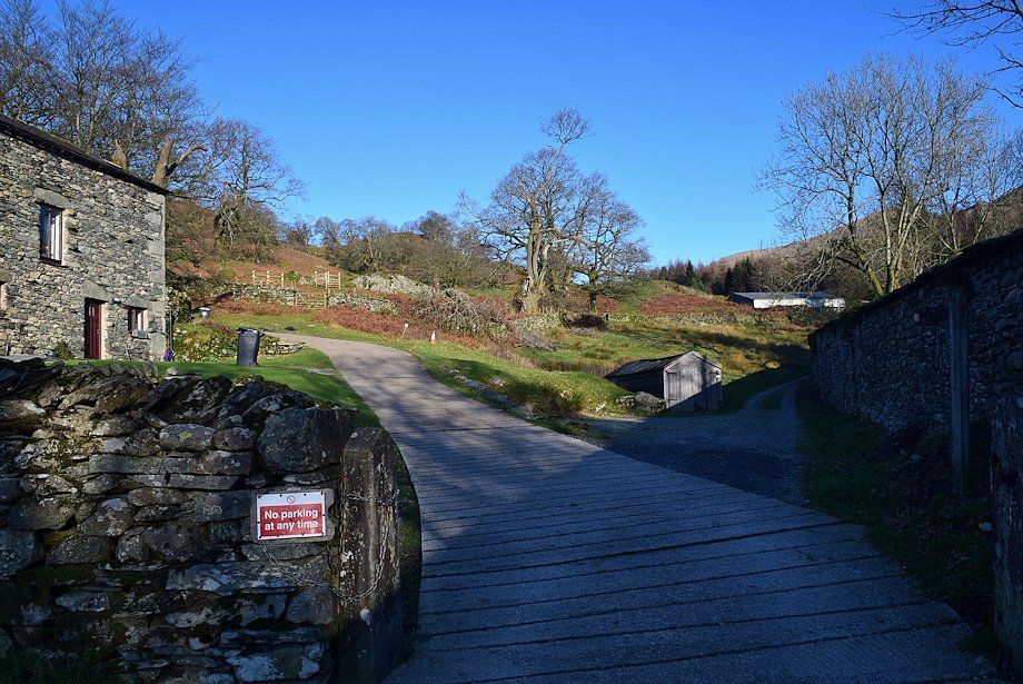 |
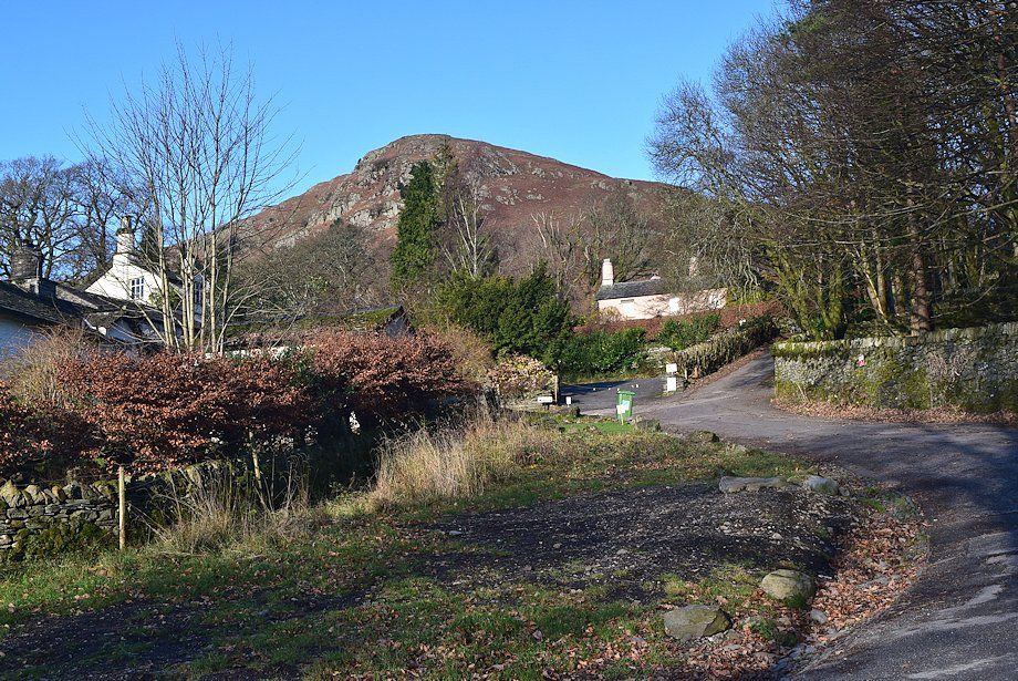
| The route passes Rydal Mount and Hart Head Farm and continues along the driveway of Hart Head House |
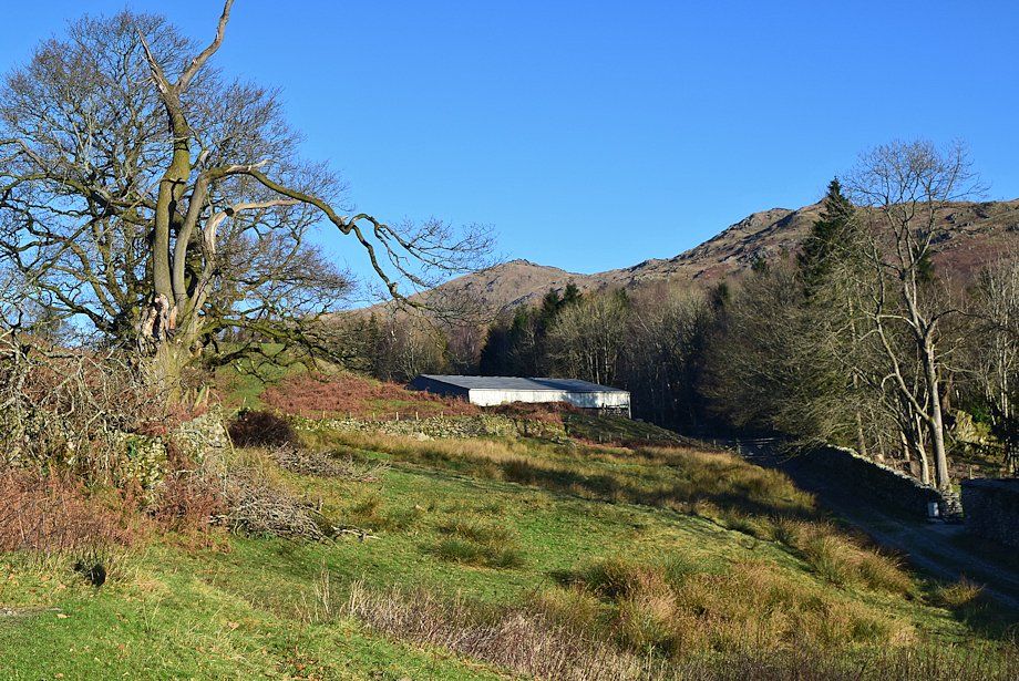 |
| High Pike and Low Pike from the driveway of Hart Head House. The track on the right continues on towards the valley of Rydal Beck |
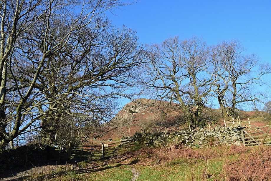 |
| A gate to the right of Hart Head House gives access to a walled lane |
 |
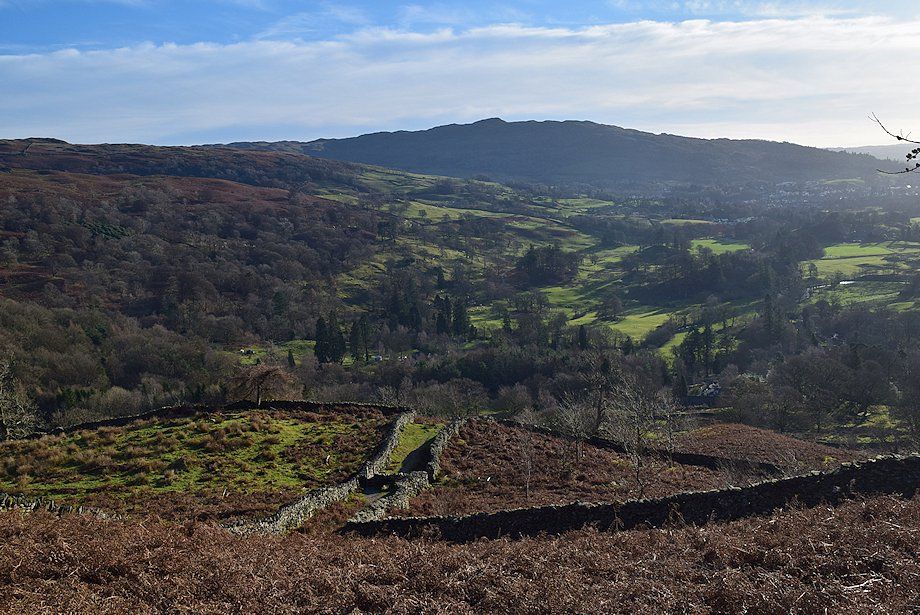
| Looking over to Loughrigg Fell from the lane |
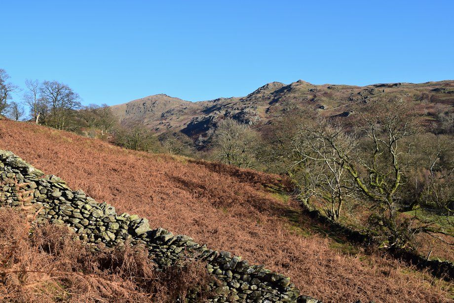 |
| High Pike and Low Pike from the lane |
 |
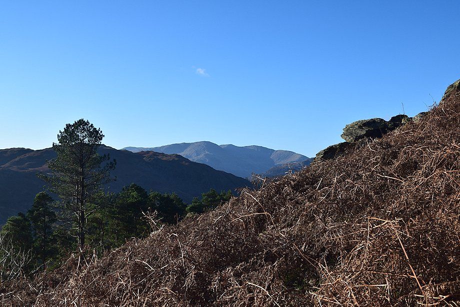
| Wetherlam, Swirl How and Great Carrs appear between Loughrigg Fell and Lingmoor Fell |
 |
| A stile at the end of the lane gives access to the open fellside below the steep rocky prow of Nab Scar |
 |
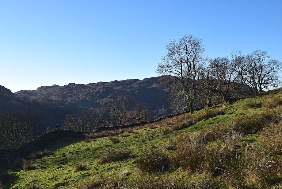
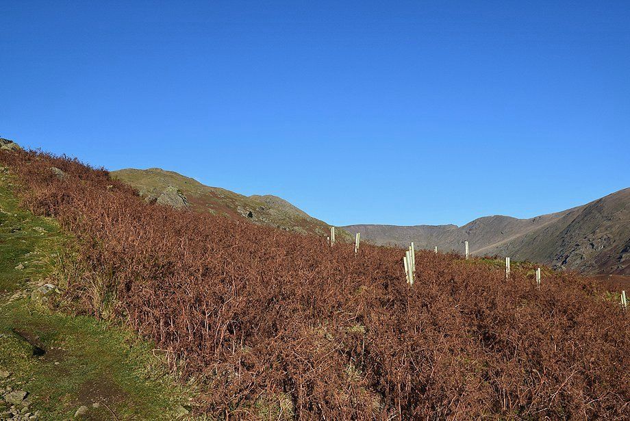
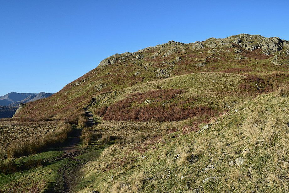
| Above the stile the path climbs the south eastern flank of Nab Scar in a series of wide zig-zags which avoid the crags on the lower slopes |
 |
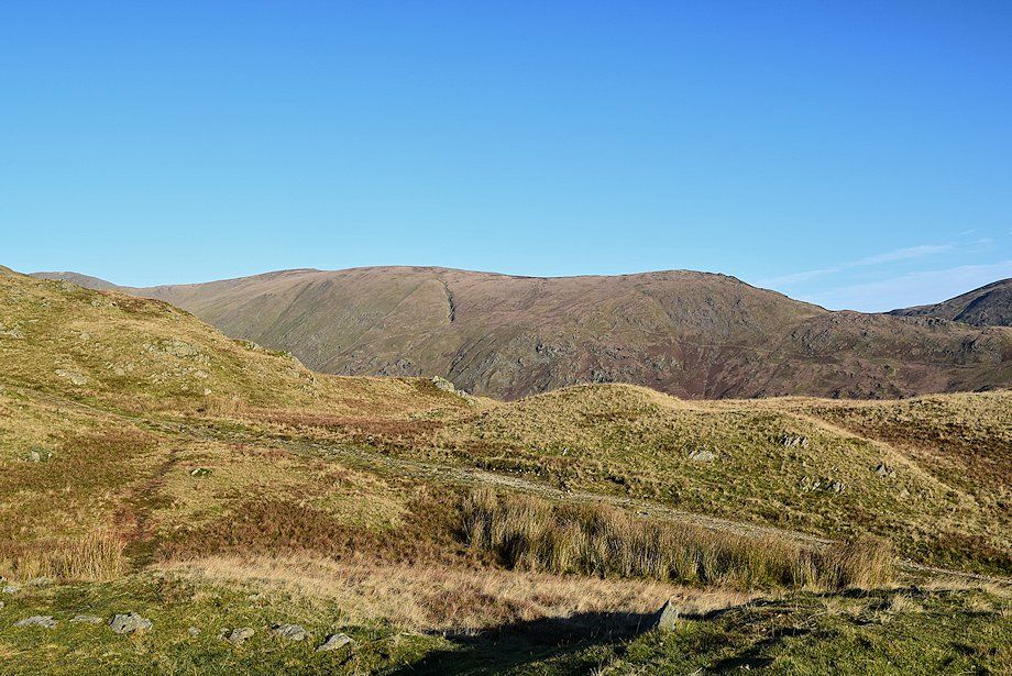
| Looking across to Low Pike and the summit ridge of Red Screes |
 |
| Looking back to Wansfell Pike |
 |
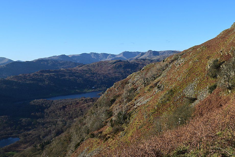
| Coniston Old Man, Brim Fell, Wetherlam, Swirl How and Great Carrs |
 |
| Looking across Rydal to Hart Crag, Dove Crag and High Pike |
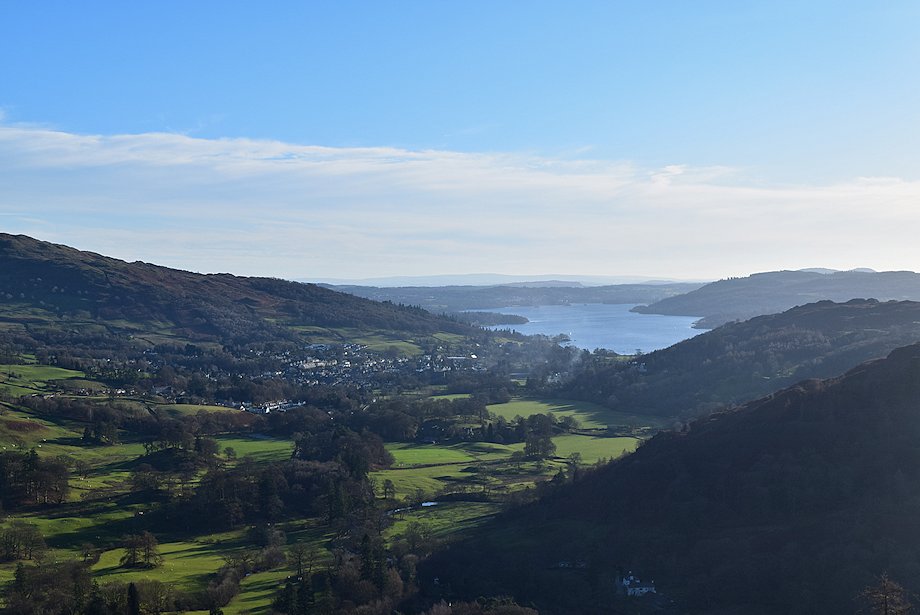 |
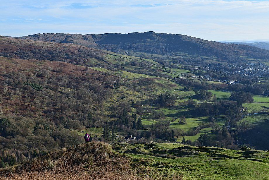
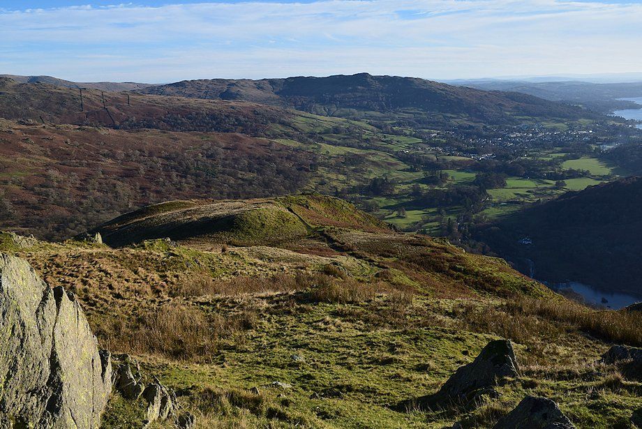
| Looking back to Ambleside and Windermere |
 |
| Heron Pike and Erne Crag appear on the left |
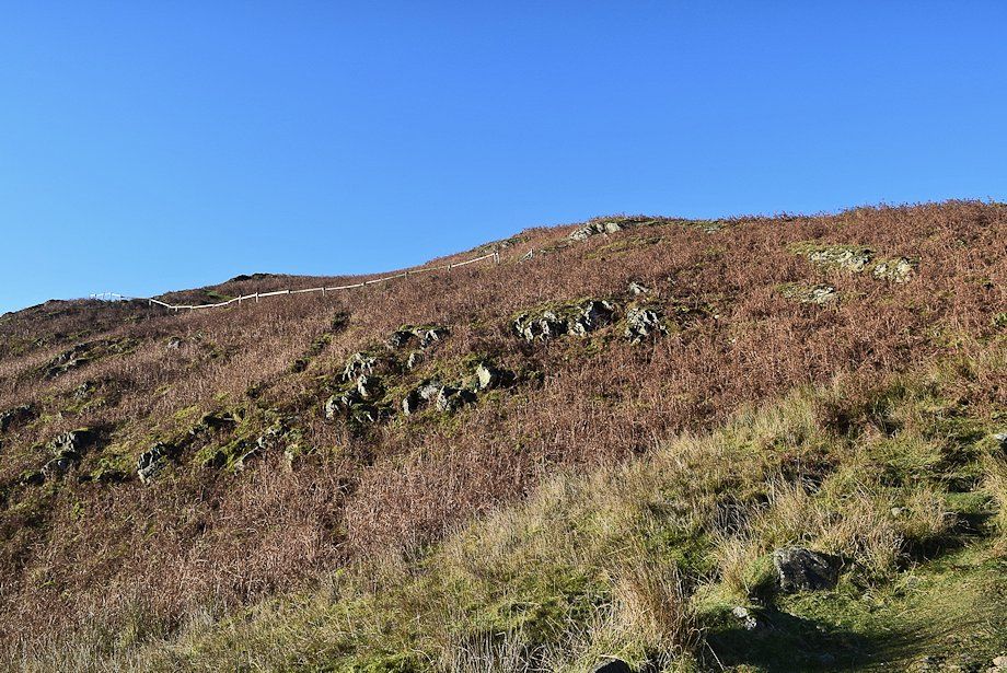 |
| Eventually the path turns back to the left to gain the ridgeline above the lowest crags |
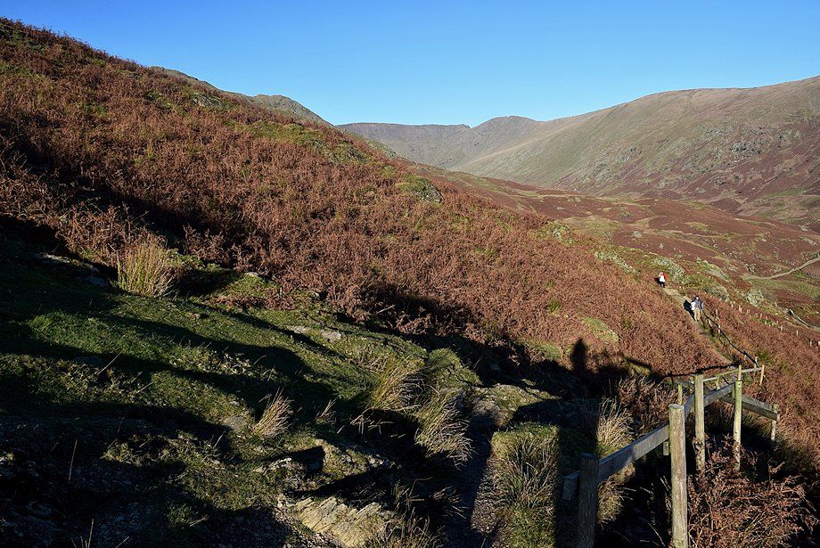 |
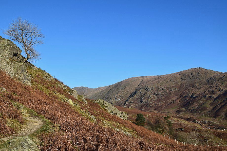
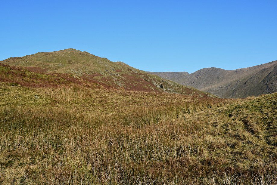
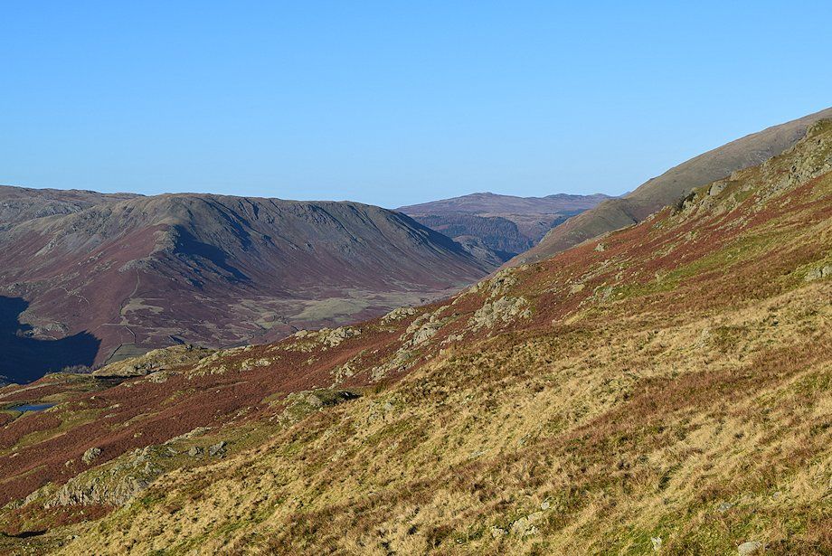
| Looking back to Rydal Head |
 |
| On gaining the ridgeline, Pike o' Blisco, Crinkle Crags, Bowfell and the Langdale Pikes come into view over Lingmoor Fell and Silver How |
 |
| Looking back to Wansfell and Wansfell Pike |
 |
| The path continues on along the ridge, passing over a series of distinctive tops, each one has some merit as a viewpoint |
 |
| Looking over to Pike o' Blisco, Crinkle Crags, Bowfell and the Langdale Pikes |
 |
| Approaching the second top on the ridge |
 |
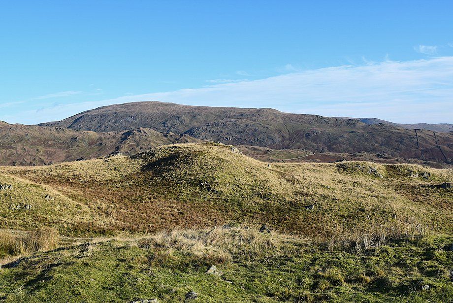
| Looking over to Hart Crag at the head of Rydal with Heron Pike on the left |
 |
| The Coniston Fells |
 |
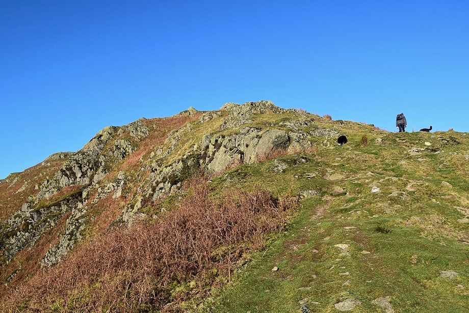
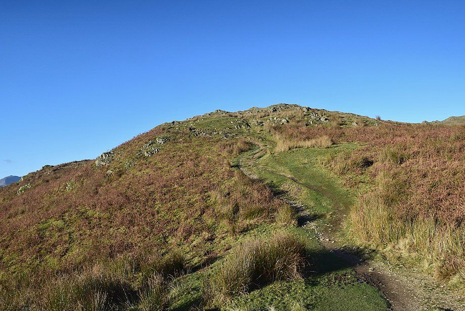
| Approaching the third top, the summit of Nab Scar lies beyond this one |
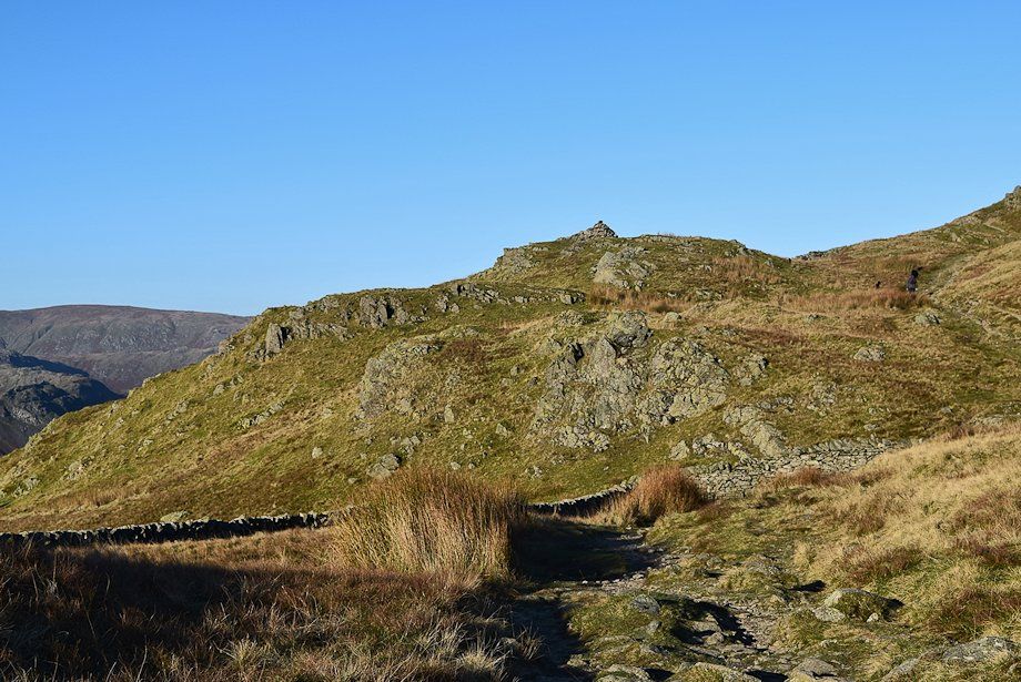 |
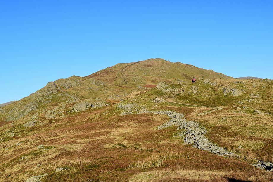
| The summit of Nab Scar comes into view |
 |
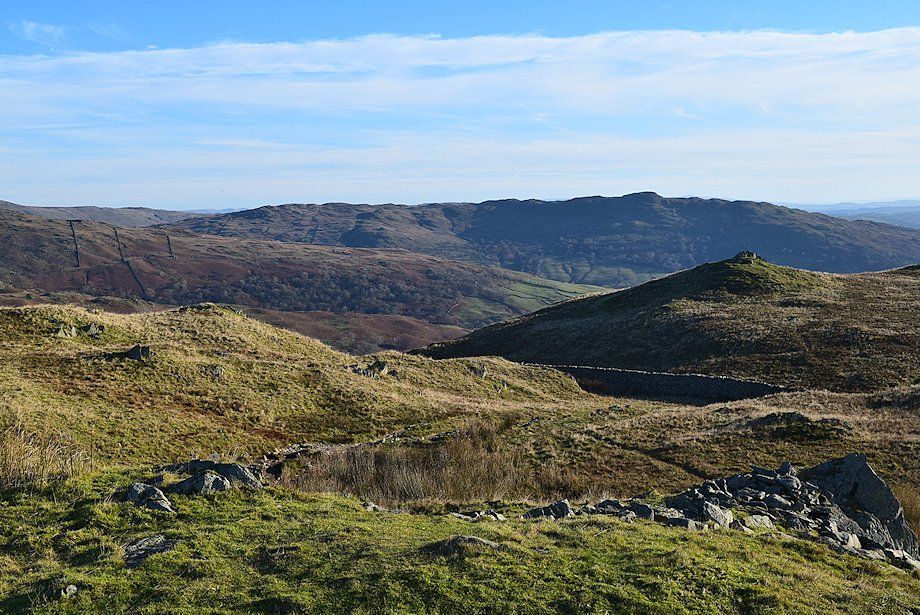
| Looking back from the third top |
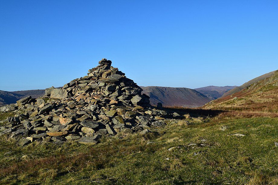 |
| The summit cairn on Nab Scar. This has traditionally been accepted as the summit although it is obvious that there is a higher knoll to the north |
 |
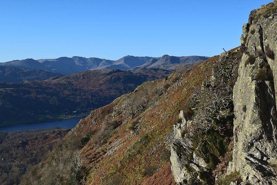
| The Coniston Fells from the summit of Nab Scar |
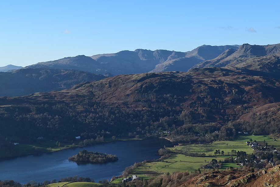 |
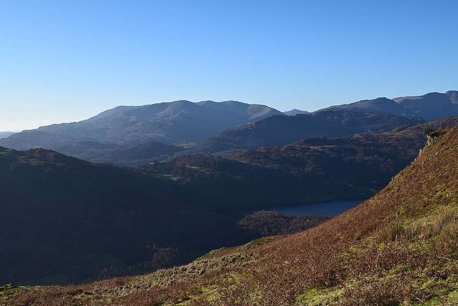
| Looking down on Grasmere from the summit of Nab Scar. The summits of Harter Fell, Pike o' Blisco. Crinkle Crags, Bowfell, Scafell Pike and Harrison Stickle form the horizon |
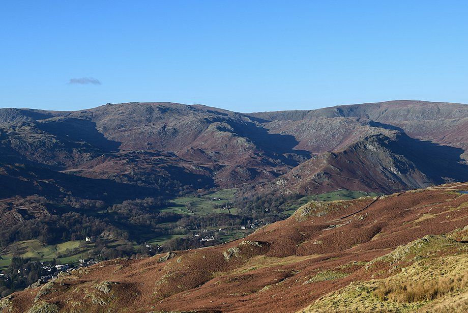 |
| The valleys of Easedale, Far Easedale and Greenburn. Pavey Ark, Sergeant Man, High Raise and Ullscarf form the horizon |
 |
| Looking north west to Steel Fell, High Seat and Bleaberry Fell |
 |
| The connecting ridge to Heron Pike |
 |
| Looking north east to Dove Crag and High Pike |
 |
| Red Screes over Low Pike |
 |
| Looking south east to Wansfell Pike |
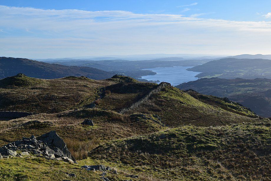 |
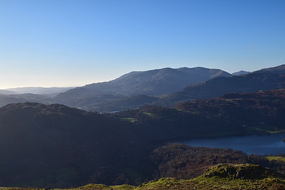
| Windermere from the summit of Nab Scar |
