 |
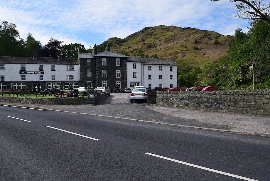
| The walk starts from the car park opposite the Patterdale Hotel. Follow the footpath signs which direct you around the side of the hotel and onto a path through the small wooded enclosure of Mill Moss. A handgate in the fence around Mill Moss gives access to the open fellside below Arnison Crag |
 |
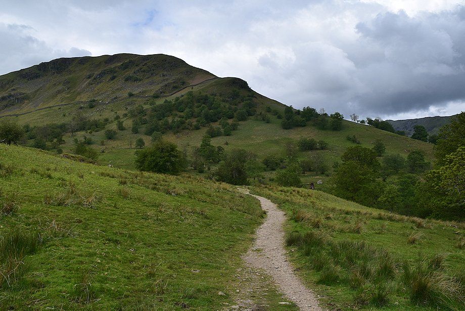
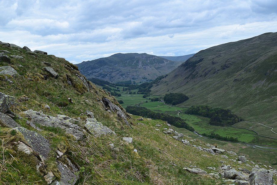
| The footpath crosses over the foot of Arnison Crag's north ridge, bound for Grisedale via Glemara Park |
 |
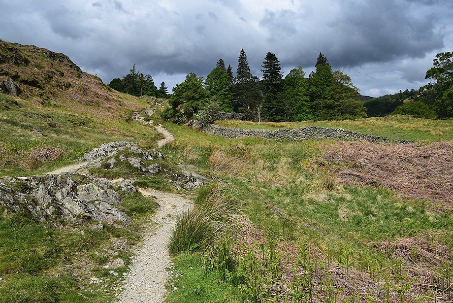
| Looking back along the path, the gate in the Mill Moss enclosure can be seen on the lower left |
 |
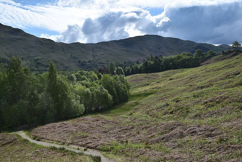
| Looking over to Place Fell |
 |
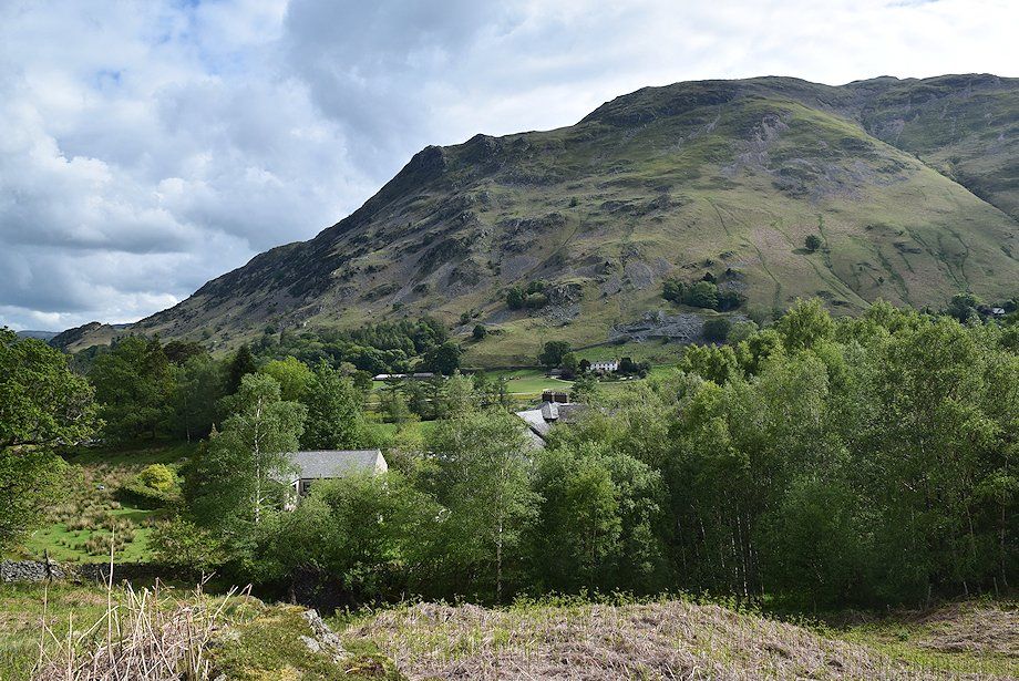
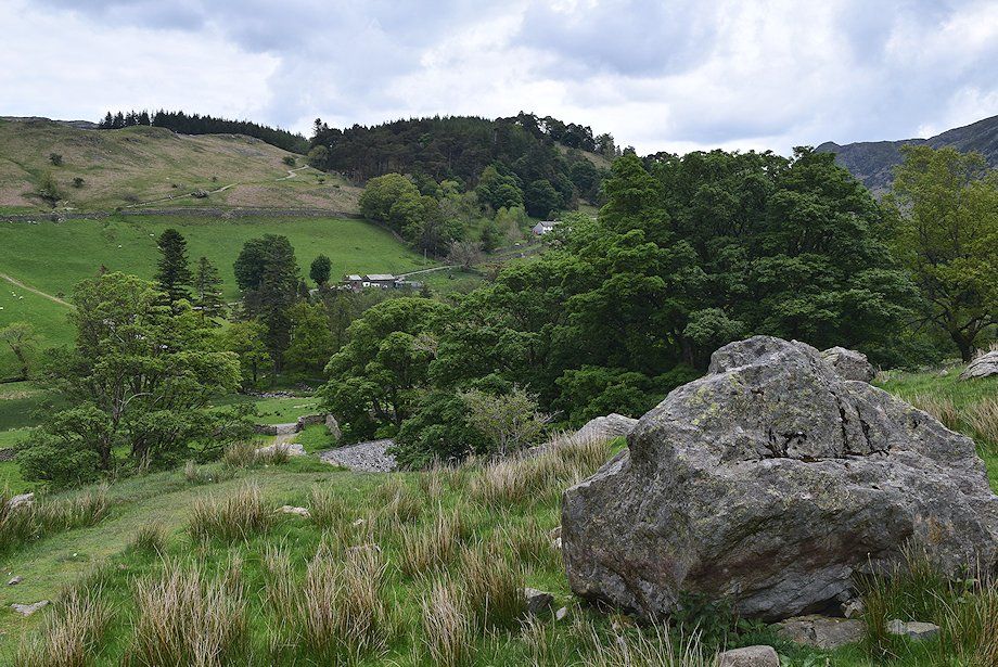
| The entrance to the Glemara Park enclosure |
 |
| The path through Glemara Park descends and crosses Hag Beck then countours around the foot of Thornhow End, the north ridge of Birks |
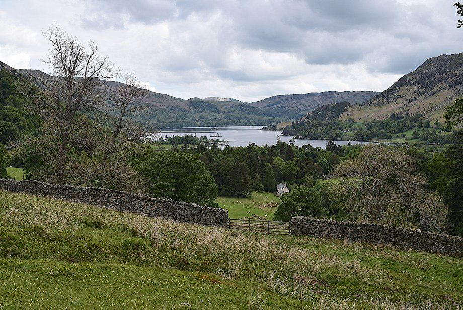 |
| Ullswater from Glemara Park |
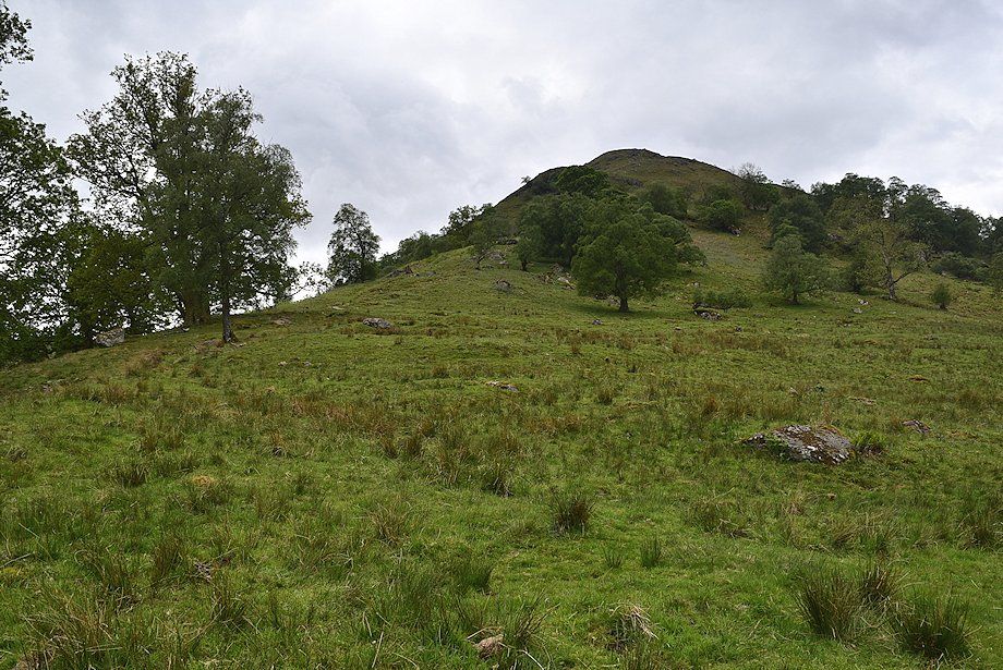 |
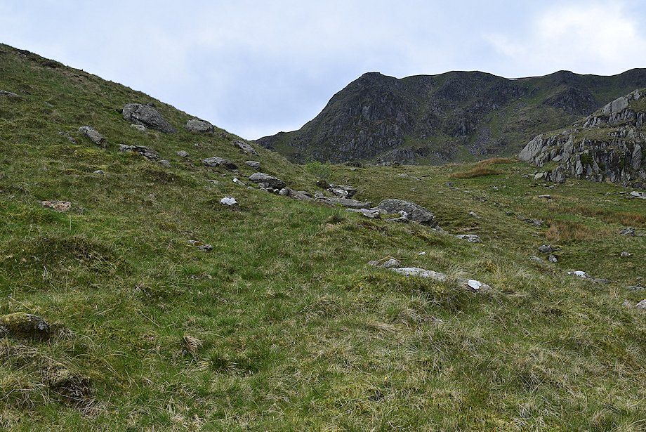
| Looking up to Thornhow End |
 |
| Birkhouse Moor on the left with Sheffield Pike above the summit of Keldas on the right from Glemara Park |
 |
| On leaving the Glemara Park enclosure the east ridge of Nethermost Pike comes into view |
 |
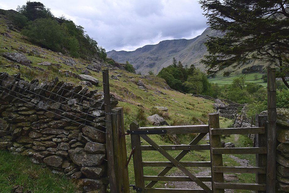
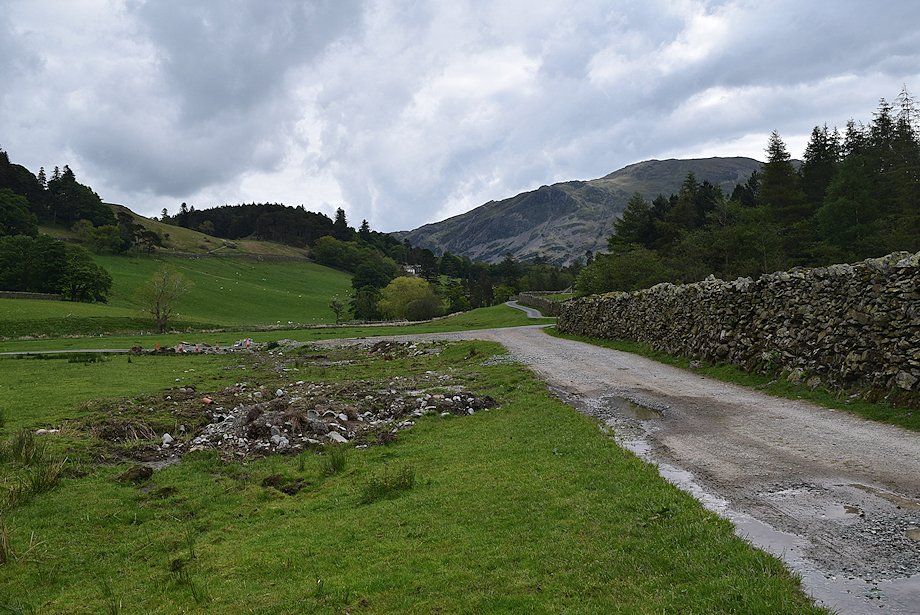
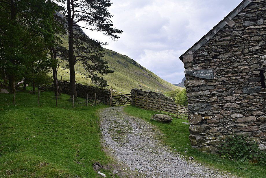
| The path passes through another handgate and descends to join the Grisedale Valley road |
 |
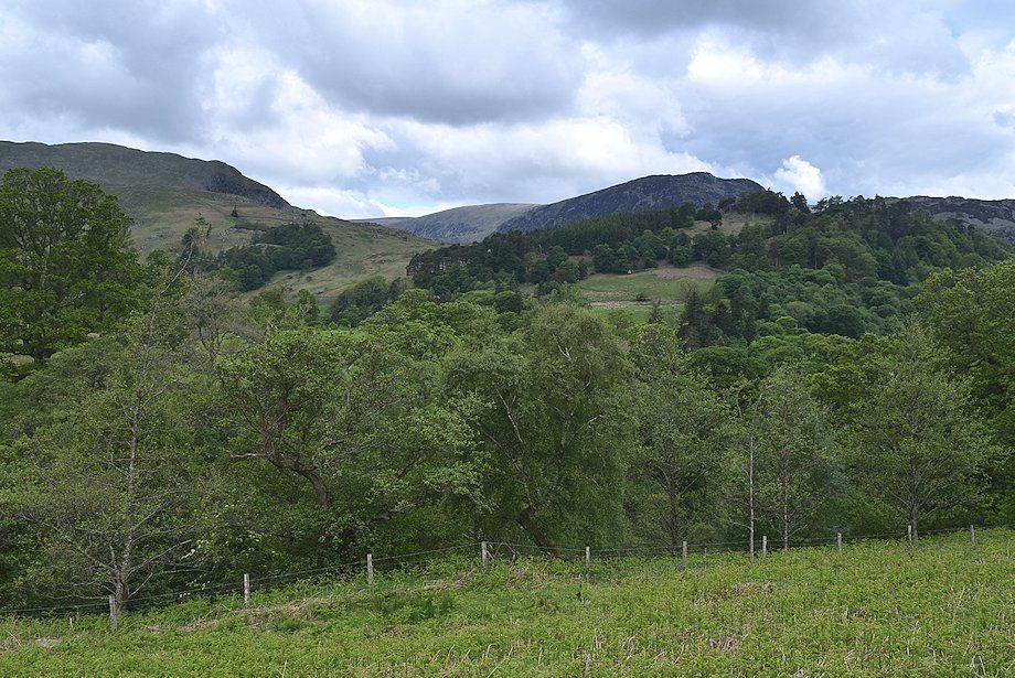
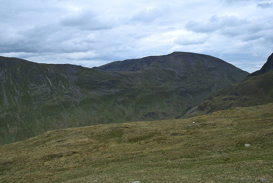
| Dollywaggon Pike and Nethermost Pike from the Grisedale Valley road |
 |
| St. Sunday Crag and Dollywaggon Pike from the Grisedale Valley road |
 |
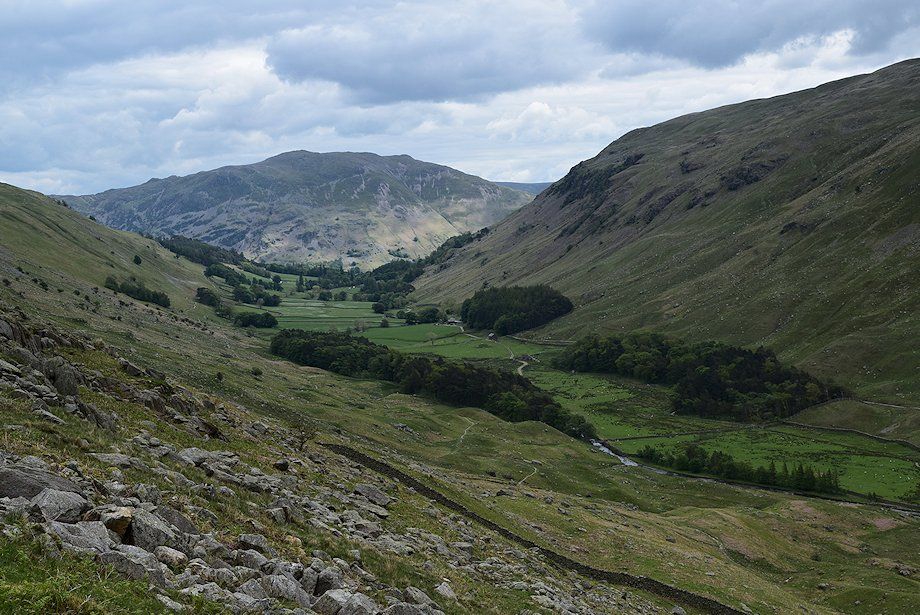
| Looking back towards Place Fell |
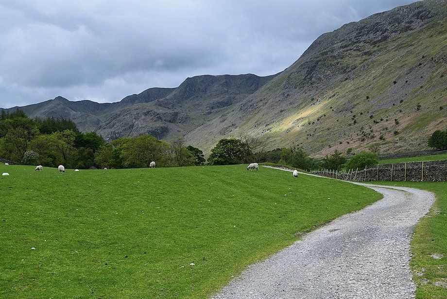 |
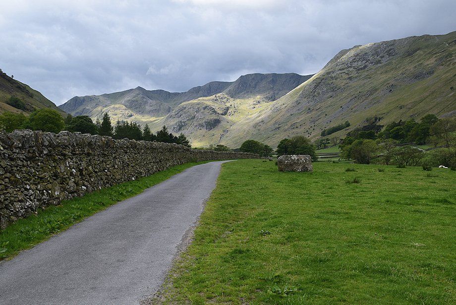
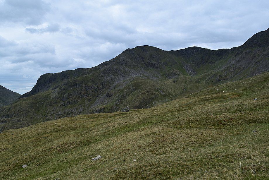
| Dollywaggon Pike, High Crag and Nethermost Pike from the track to Elmhow Farm |
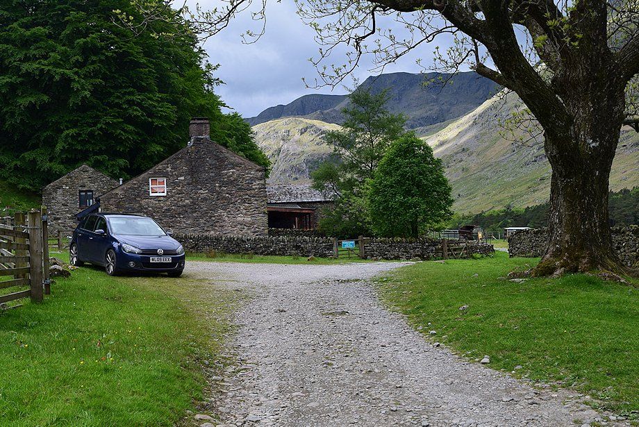 |
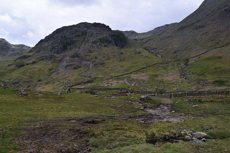
| Elmhow Farm |
 |
| Dollywaggon Pike, High Crag and Nethermost Pike from Elmhow Farm |
 |
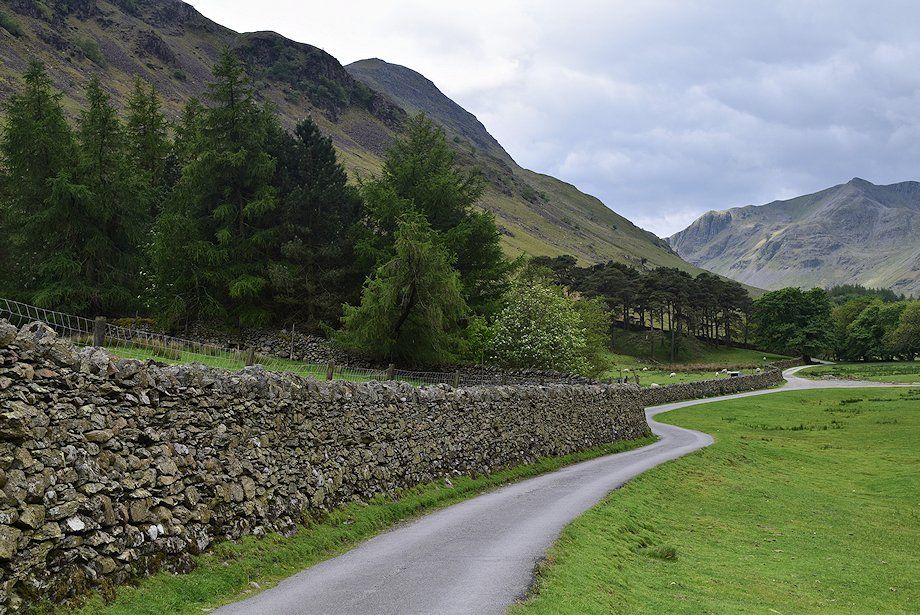
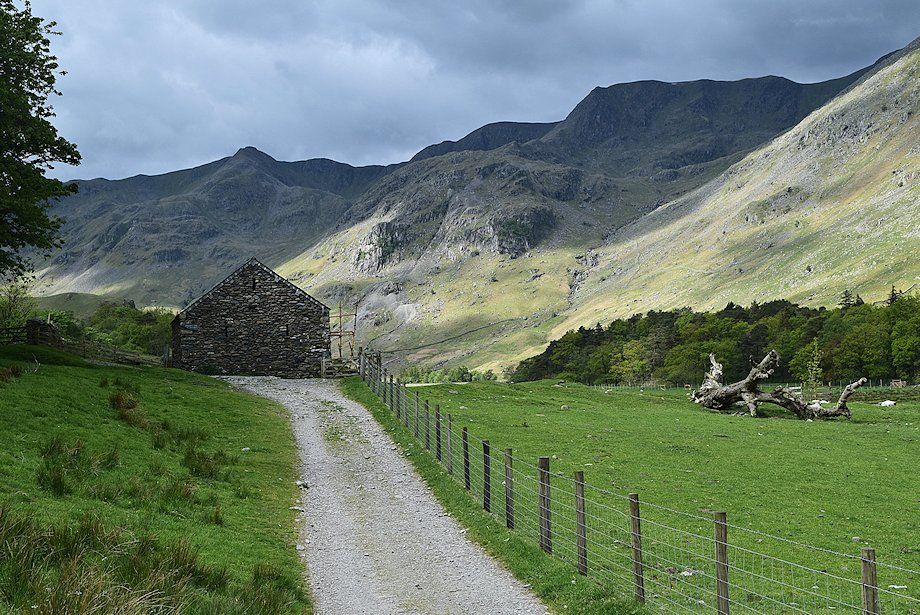
| The track passes to the left of the old barn. Beyond the gate is the start of the Elmhow zig-zag path. Once a popular route to St. Sunday Crag it has now fallen from favour and its start is difficult to trace |
 |
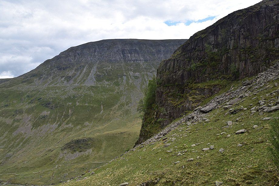
| Sunlight highlights Eagle Crag below the steep prow of Nethermost Pike's east ridge |
 |
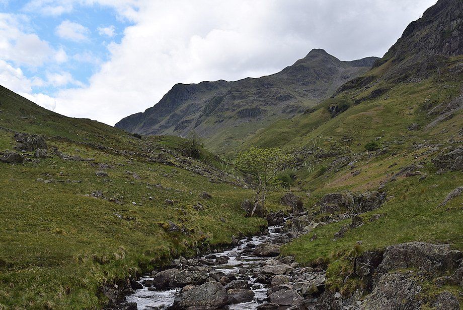
| Dollywaggon Pike from Crossing Plantation |
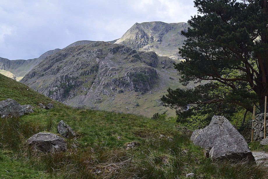 |
| Eagle Crag and the east ridge of Nethermost Pike from Crossing Plantation |
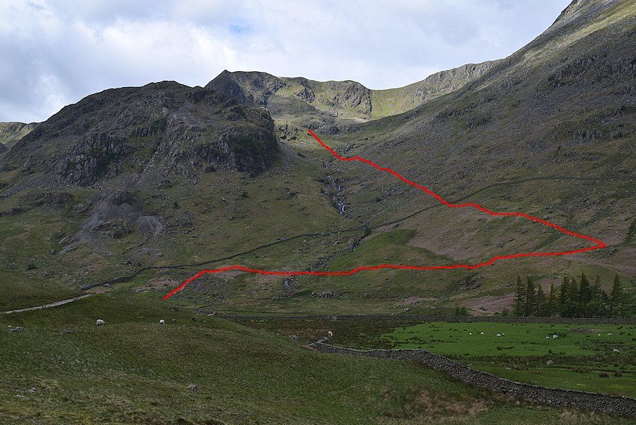 |
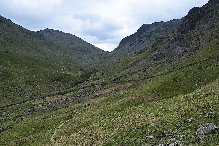
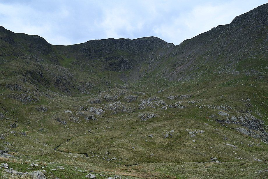
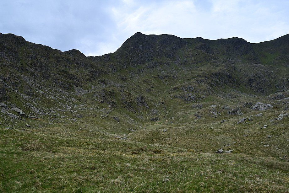
| Nethermost Cove from the western edge of Crossing Plantation. The red line indicates the route taken to reach the lip of the cove overlooking Calf Hole |
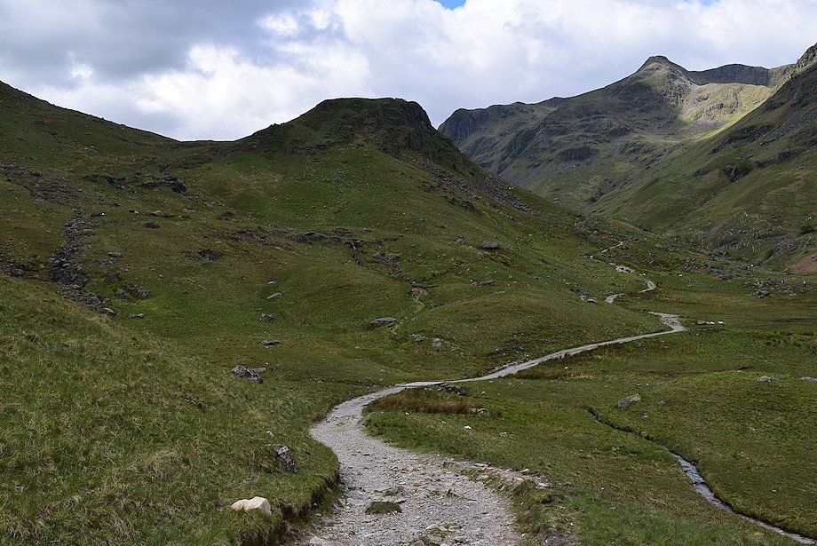 |
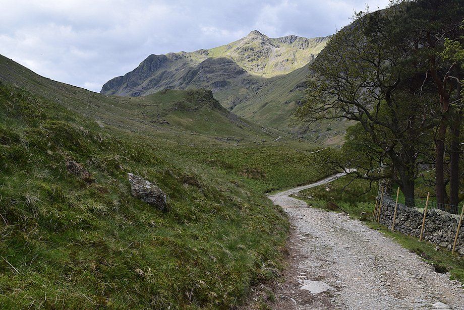
| Beyond Crossing Plantation the track descends slightly before resuming its climb to Grisedale Tarn |
 |
| Just before the track resumes its climb to Grisedale Tarn, a path turns off to cross a footbridge over Grisedale Beck |
 |
| Dollywaggon Pike from the footbridge over Grisedale Beck |
 |
| From the footbridge the path rises to join the main Patterdale~Grisedale Tarn path on the northern side of the valley |
 |
| Cofa Pike on Fairfield to the left with Tarn Crag and Falcon Crag on Dollywaggon Pike to the right, viewed from the path to Grisedale Tarn |
 |
| The route to Nethermost Cove turns back along the path for about 250 yards to the start of an old miners' path |
 |
| The miners' path runs in a narrow groove rising to an old mine level above the lower waterfalls of Nethermostcove Beck. The start, which can be difficult to locate when the bracken is high, is marked by a small cairn on a boulder |
 |
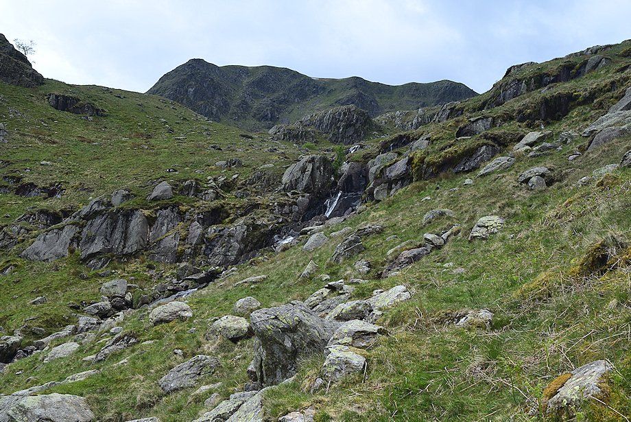
| Grisedale Hause from the miners' path |
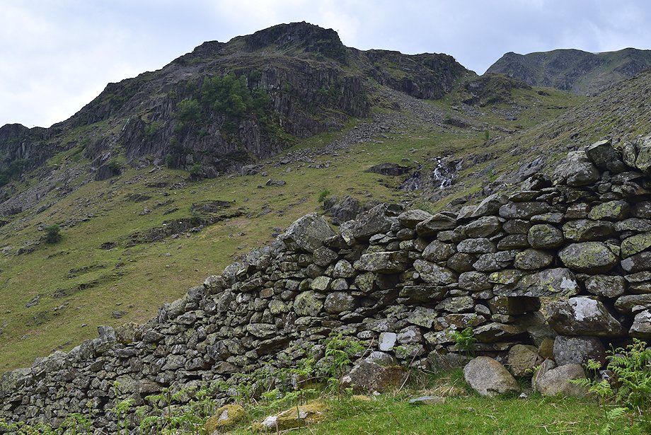 |
| Eagle Crag from the intake wall which is crossed by a stile built into the wall |
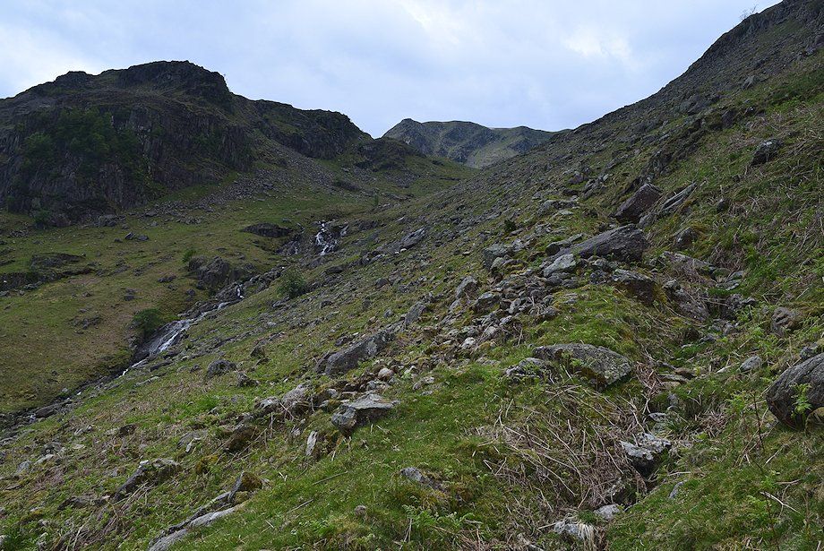 |
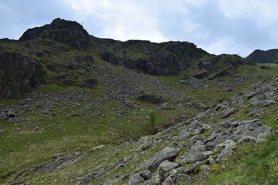
| Above the wall the approach to the cove becomes much rougher as the path passes through a boulder field |
 |
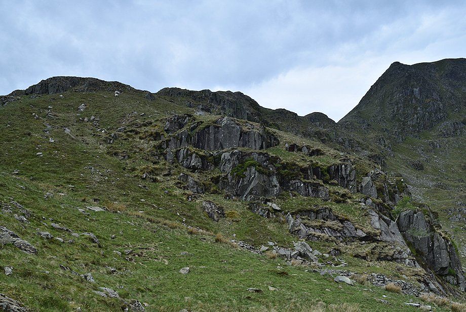
| Looking across to the old lead mines at the foot of Eagle Crag |
 |
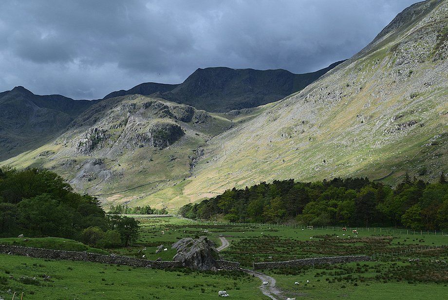
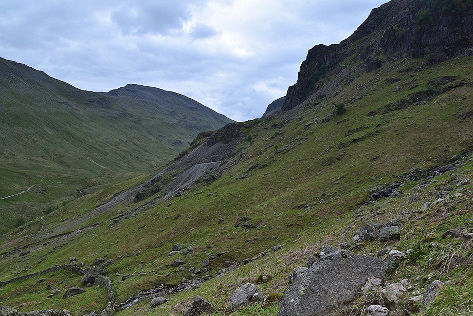
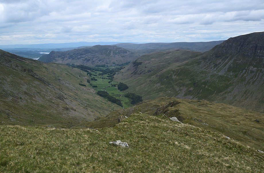
| Place Fell and the lower part of Grisedale |
 |
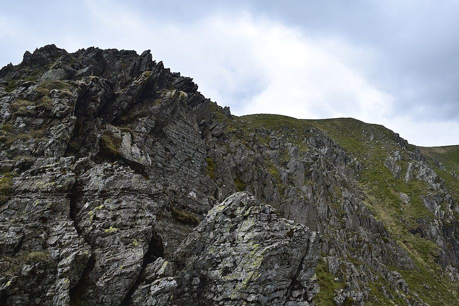
| The top of Eagle Crag above Nethermostcove Beck |
 |
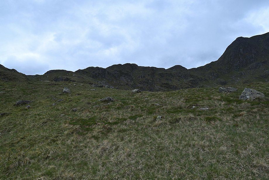
| St. Sunday Crag across Eagle Crag |
 |
| The miners' path fades as it approaches Nethermostcove Beck. It is usually possible to cross the beck just below the upper falls where it flows in a narrow channel. If it is in spate then it's safer to cross it at one of several points above the falls. Once across, the route climbs the grassy slope on the left of the photo to reach the lip of Nethermost Cove. There is hardly any trace of a path along this section until the east ridge is gained |
 |
| Looking back to Place Fell from the crossing point of Nethermostcove Beck |
 |
| Approaching the lip of Nethermost Cove |
 |
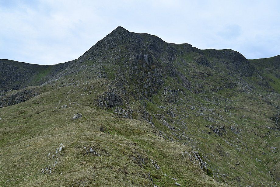
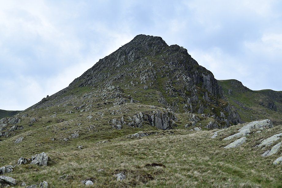
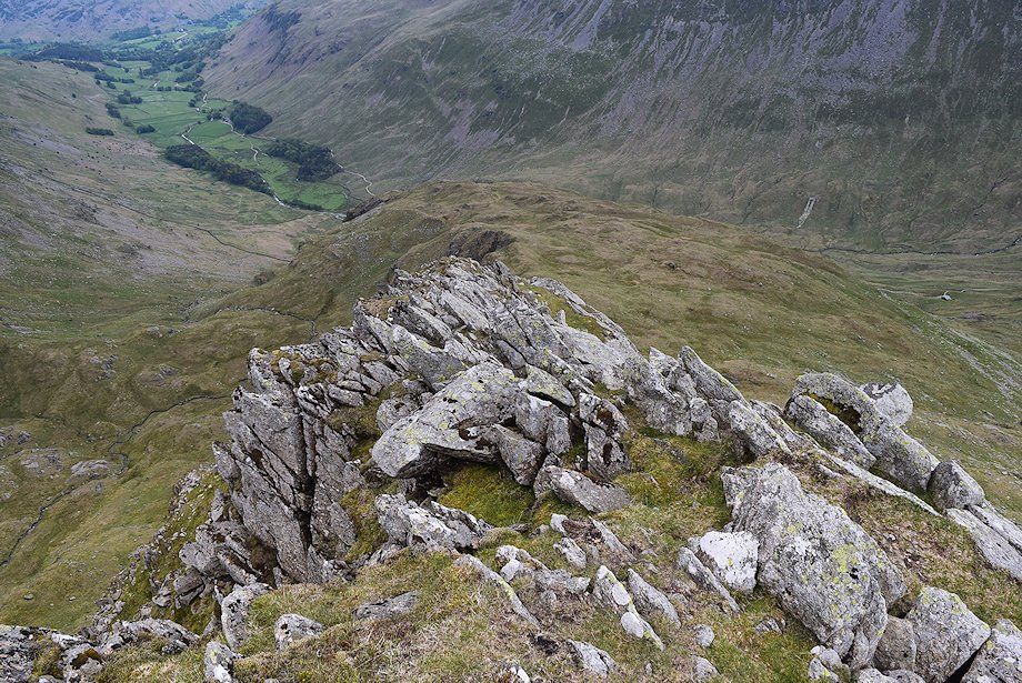
| The full length of the east ridge appears over the lip of the cove |
 |
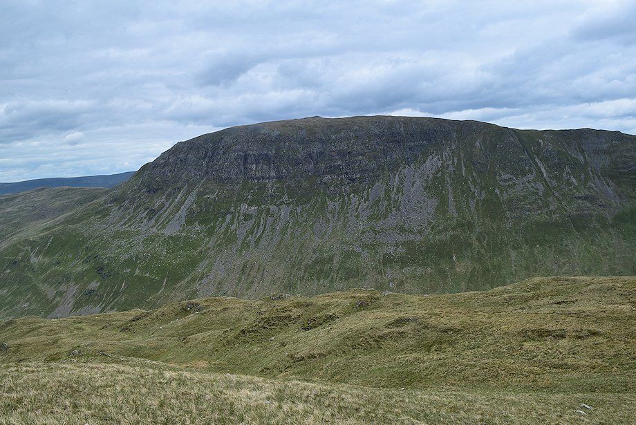
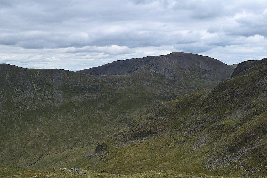
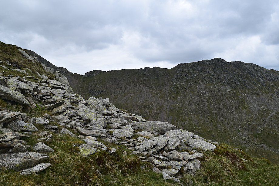
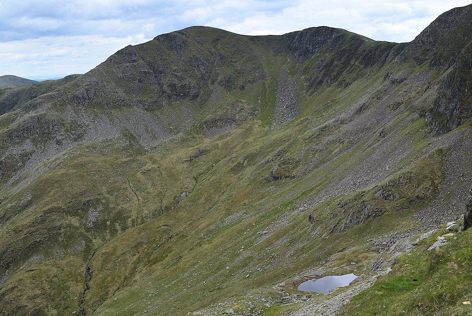
| Helvellyn across Nethermost Cove |
 |
| Nethermost Pike across Calf Hole |
 |
| Climbing onto the east ridge |
 |
| Looking along the east ridge of Nethermost Pike |
 |
| Helvellyn and Striding Edge across Nethermost Cove from the east ridge |
 |
| Fairfield from the east ridge |
 |
| Dollywaggon Pike and High Crag from the path along the east ridge |
 |
| St. Sunday Crag from the east ridge |
 |
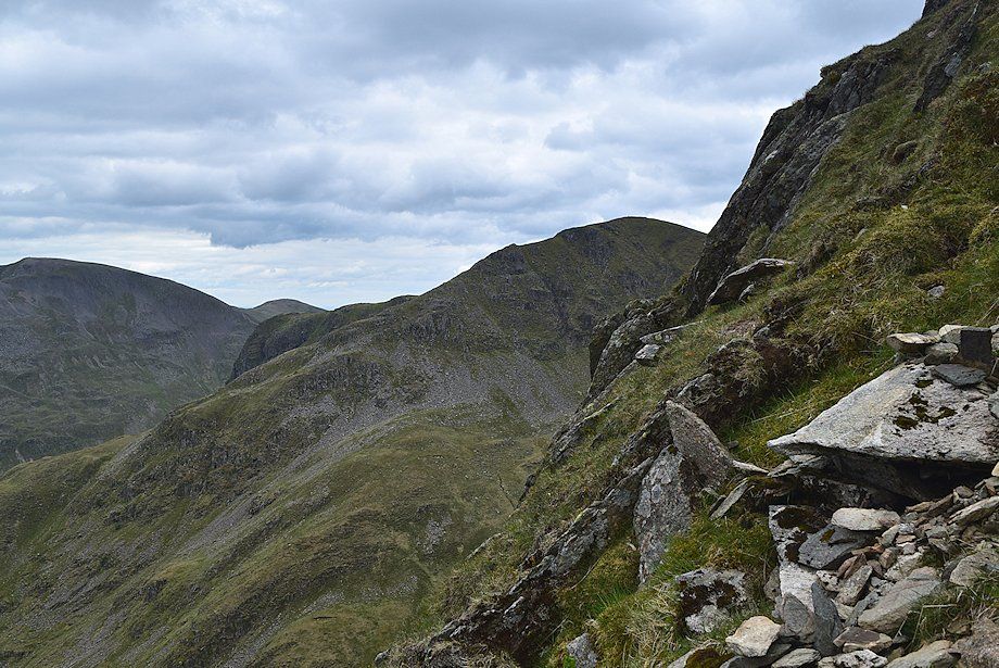
| Looking back towards Place Fell and Grisedale |
 |
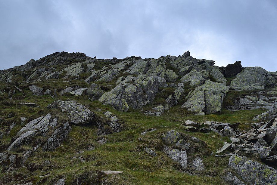
| Approaching the steep upper part of the ridge |
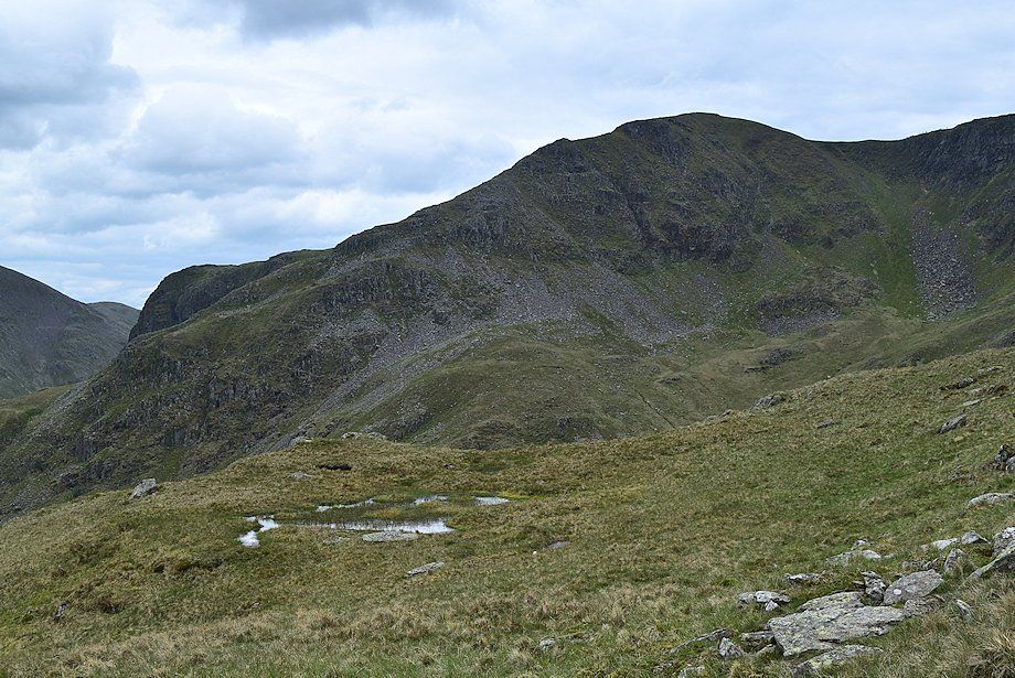 |
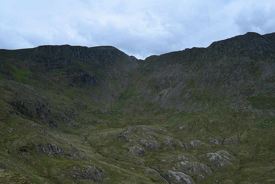
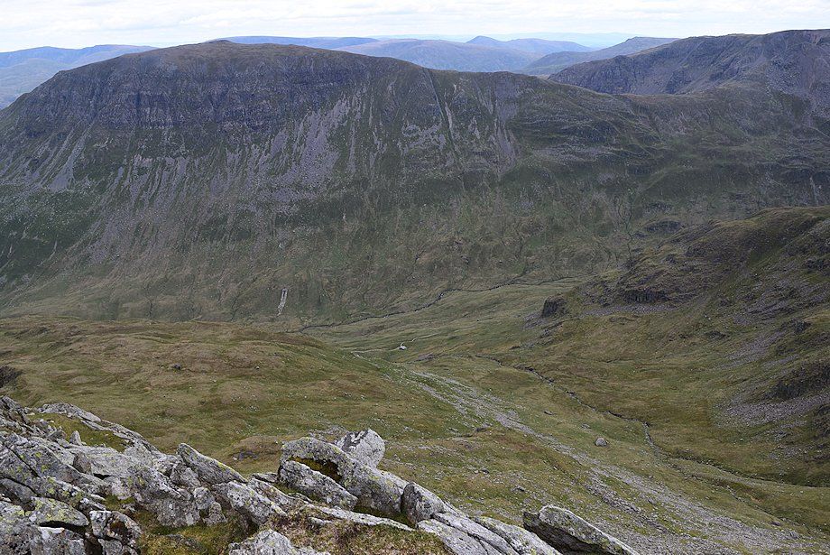
| Dollywaggon Pike across Ruthwaite Cove |
 |
| Looking back along the lower part of the east ridge |
 |
| Fairfield across Ruthwaite Cove |
 |
| There is no difficulty in climbing the final part of the ridge other than its steepness, although the upper arete does require some mild scrambling |
 |
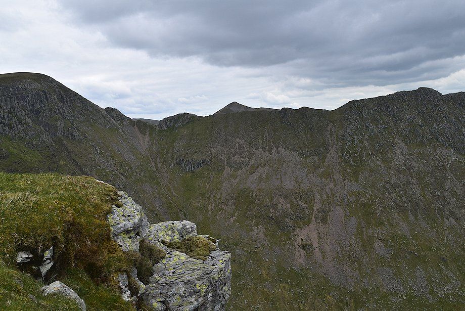
| Looking across Nethermost Cove to Striding Edge |
 |
| Looking across Ruthwaite Cove to Fairfield and Dollywaggon Pike from the climb up the upper part of the east ridge |
 |
| Approaching the top of the ridge, the arete can be seen on the left skyline |
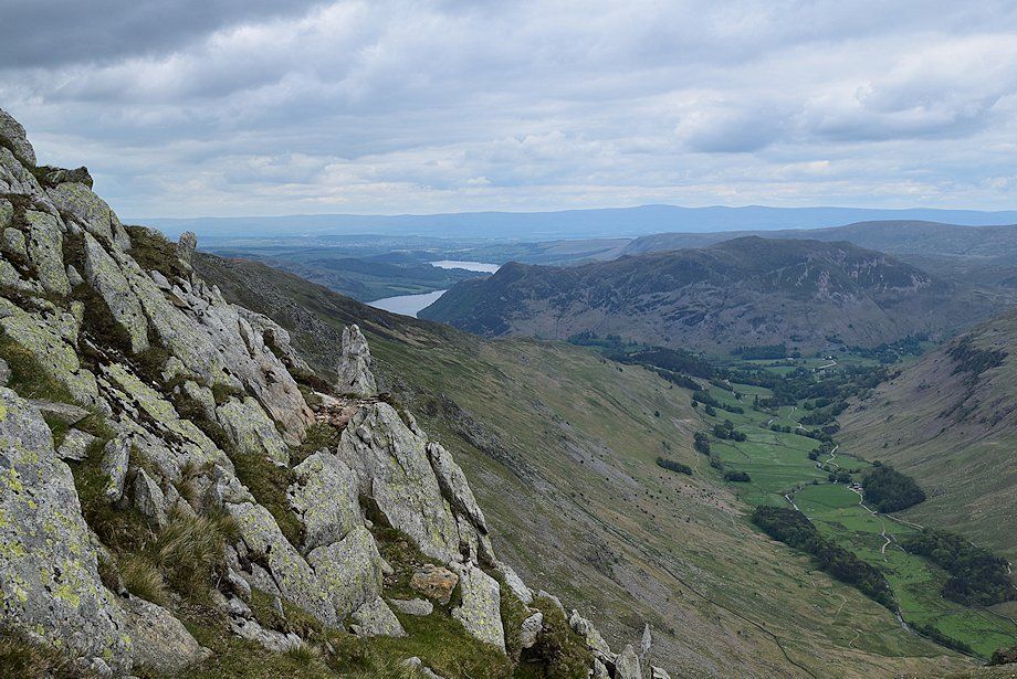 |
| Ullswater from the upper part of the east ridge |
 |
| Looking down onto Hard Tarn in Ruthwaite Cove |
 |
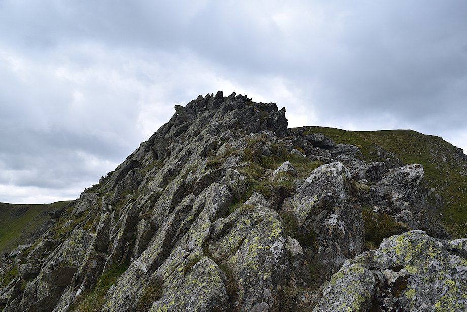
| The upper arete on the east ridge |
 |
| Catstycam appears over Striding Edge |
 |
| Approaching the top of the east ridge |
 |
| Looking back along the route of ascent |
 |
| Looking down to Ruthwaite Cove from the top of the east ridge. Ruthwaite Lodge, a climbing hut, can be seen at its foot |
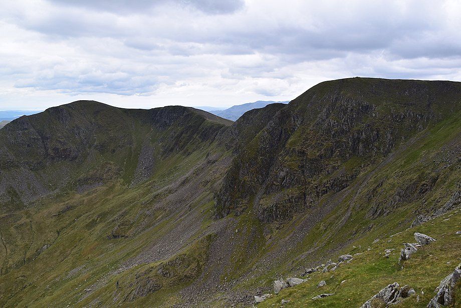 |
| Dollywaggon Pike and High Crag across Ruthwaite Cove from the top of the east ridge |
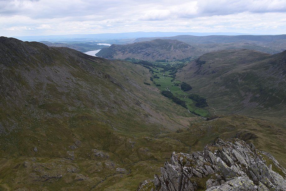 |
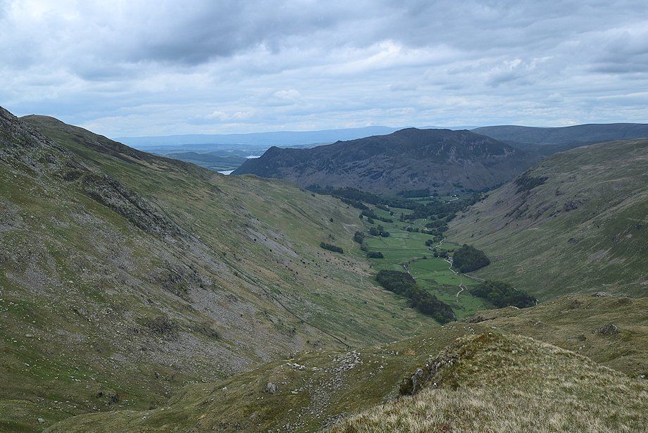
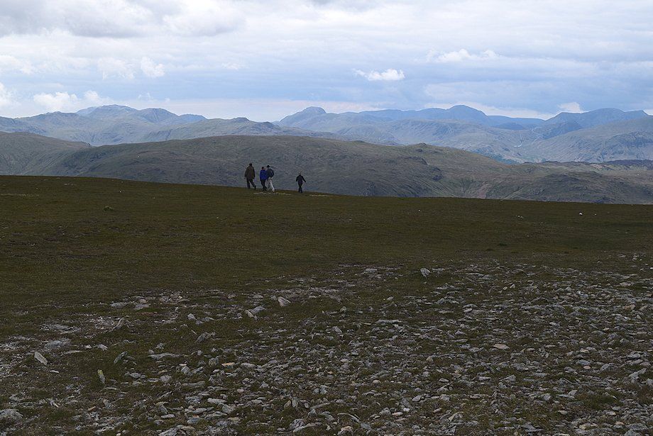
| Ullswater, Place Fell and Grisedale from the top of the east ridge |
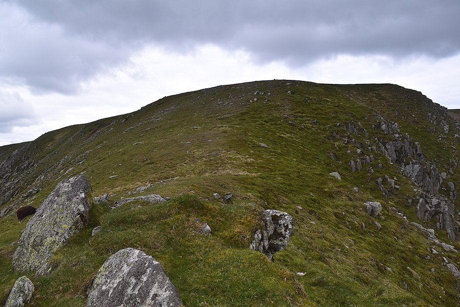 |
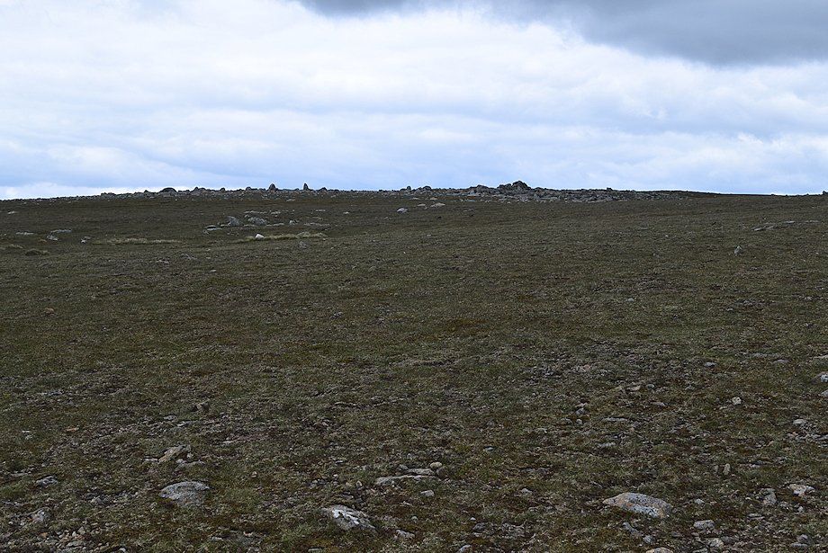
| All that remains is a simple climb over a gentle grass slope to reach the extensive summit plateau of Nethermost Pike |
 |
| The summit cairn comes into view |
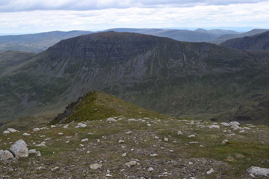 |
| Looking back to the top of the east ridge from the edge of the summit plateau |
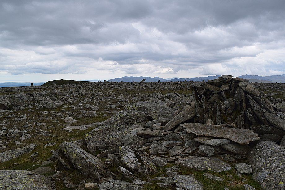 |
| The summit cairn on Nethermost Pike |
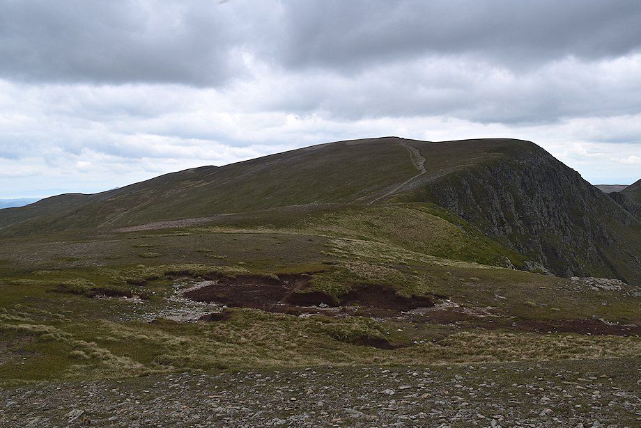 |
| Helvellyn from the north-western cairn |
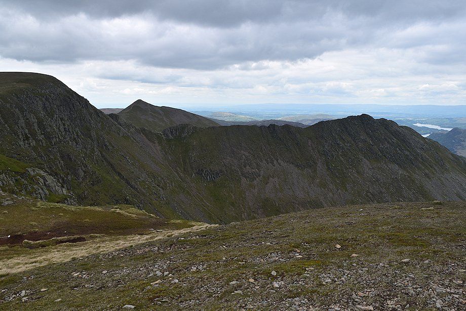 |
| Catstycam and Striding Edge from the north-western cairn |
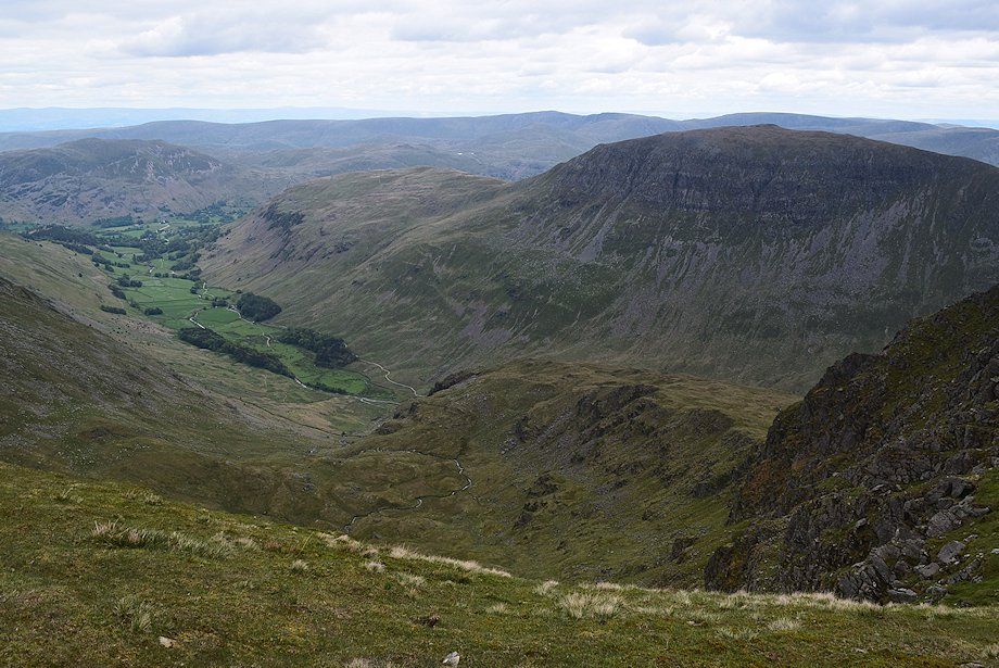 |
| Grisedale and St. Sunday Crag from the edge of the summit plateau |
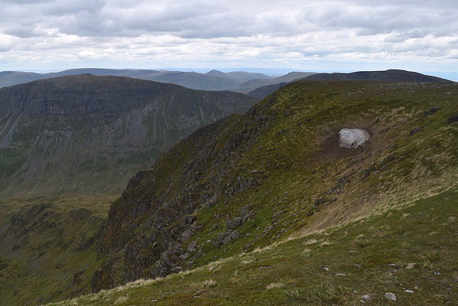 |
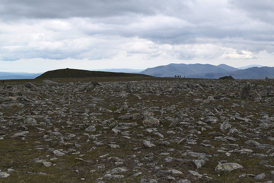
| Looking across to the east ridge from the edge of the summit plateau |
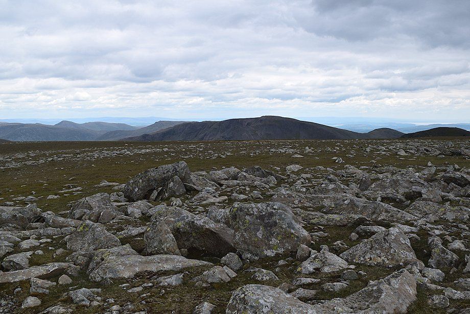 |
| The summits of Caudale Moor, Froswick, Ill Bell, Yoke, Red Screes, Fairfield, Great Rigg and Dollywaggon Pike across the summit plateau |
 |
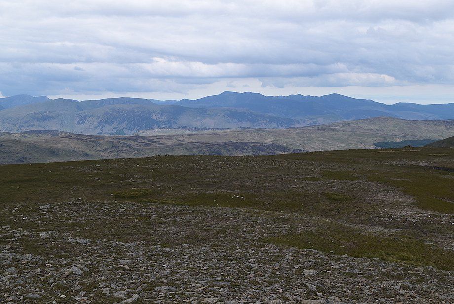
| High Crag on the left with the Coniston fells in the centre |
 |
| Esk Pike, Scafell, Scafell Pike, Great End, Lingmell, Glaramara, Great Gable, Kirk Fell, Red Pike (Wasdale), Scoat Fell, Pillar, High Crag, High Stile and Red Pike (Buttermere) form the skyline |
 |
| Grasmoor and Grisedale Pike are prominent in the north western fells on the horizon |
