
| Pavey Ark - Route One |
| Start - NDG Hotel NY 295 064 | Distance - 1.7 miles | Ascent - 2,010 feet | Time - 1 hour : 40 minutes |
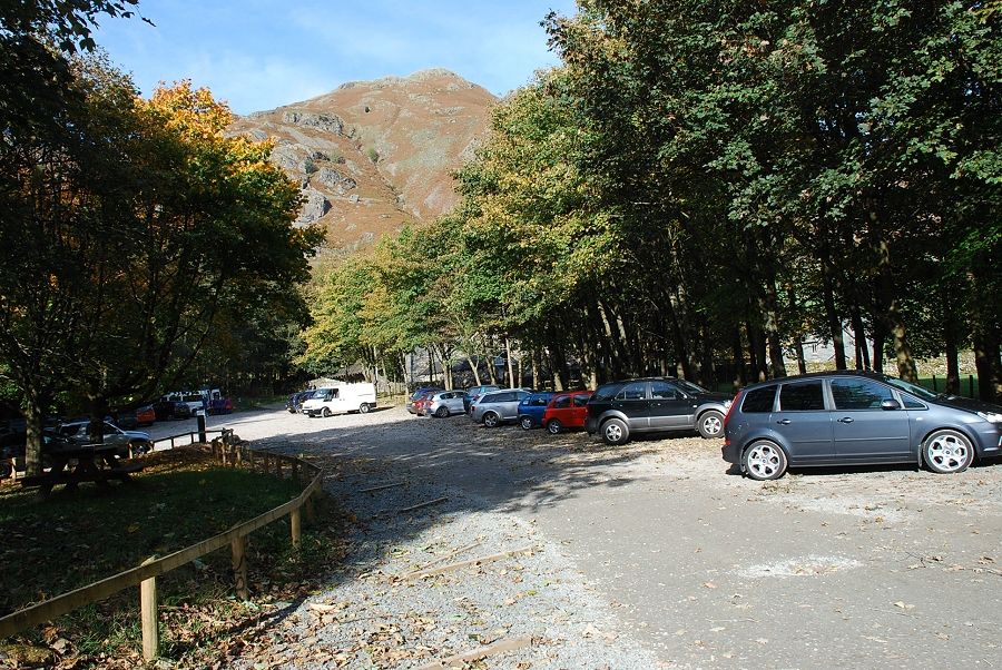 |
| The National Trust Stickle Ghyll car park at the start of the walk |
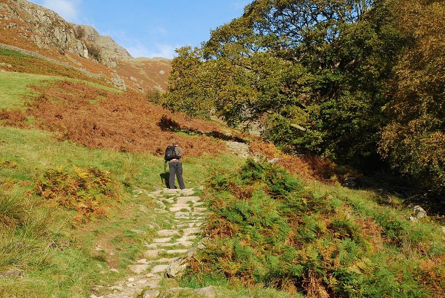 |
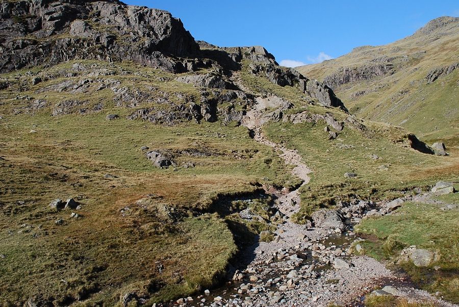
| A gate at the top of the car park leads to a paved path alongside Stickle Ghyll |
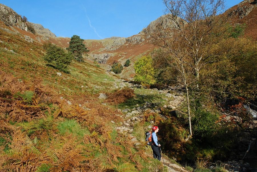 |
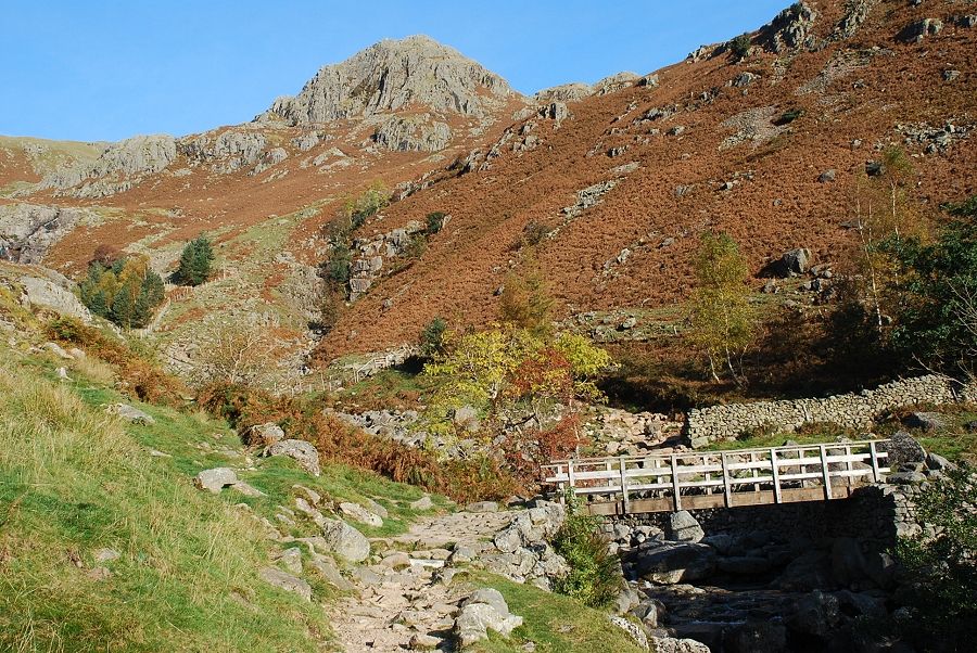
| Stickle Ghyll. The summit of Pavey Ark is just visible at the head of the gill |
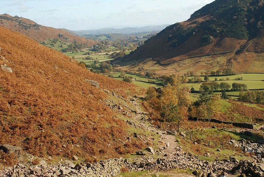 |
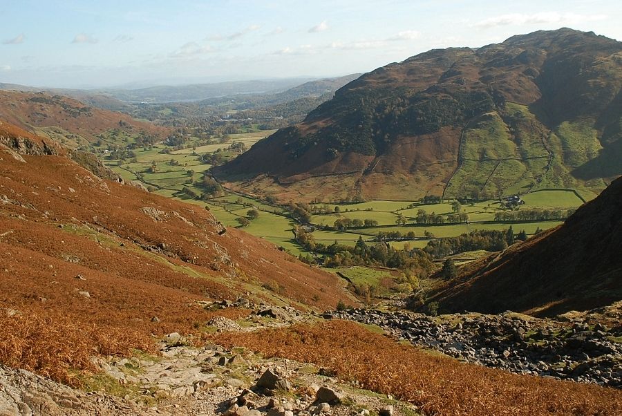
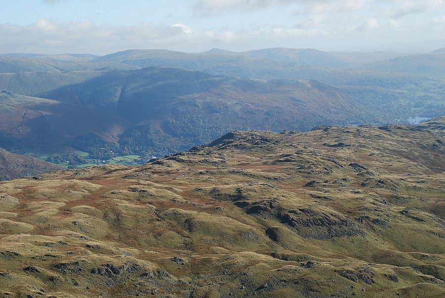
| Looking back to Great Langdale |
 |
| The footpath crosses to the east side of the gill. The path on the west side is in a poor condition and is undergoing extensive repair |
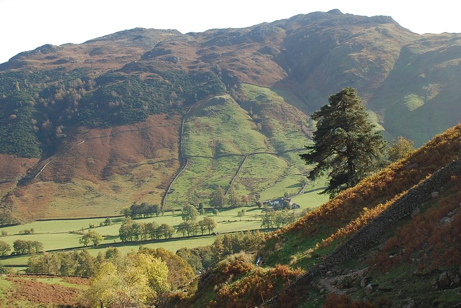 |
| Looking back across the valley to Lingmoor Fell |
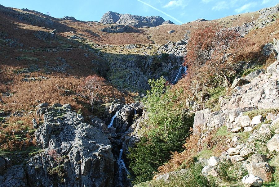 |
| Midway up the gill below a fine series of waterfalls |
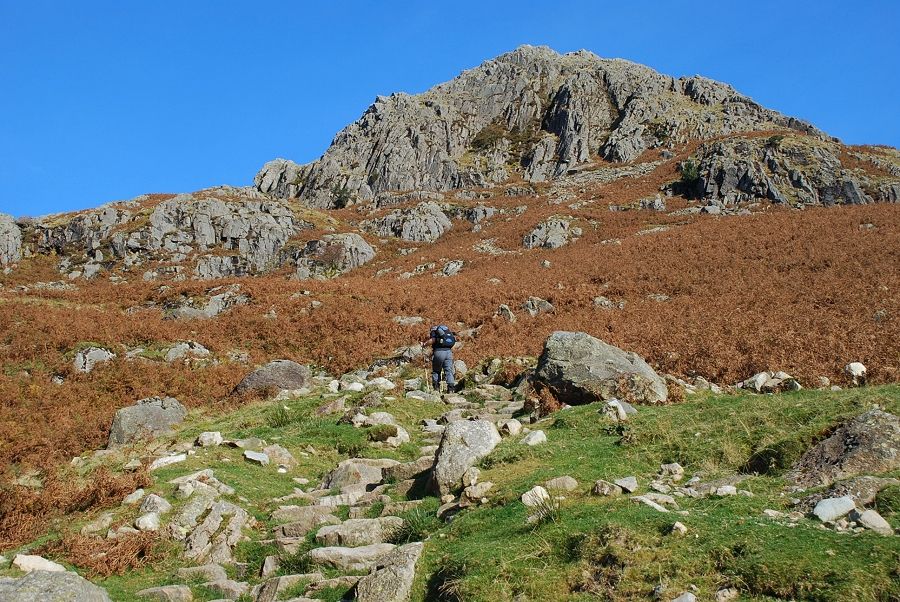 |
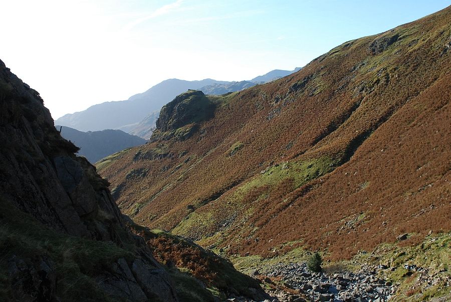
| Climbing the slope below Tarn Crag |
 |
| Looking back to Great Langdale from the path above the waterfalls |
 |
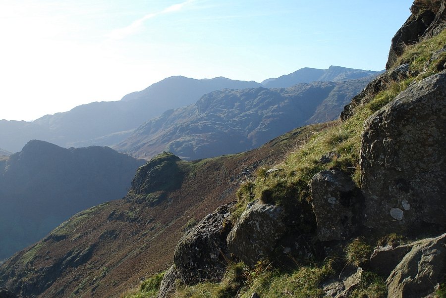
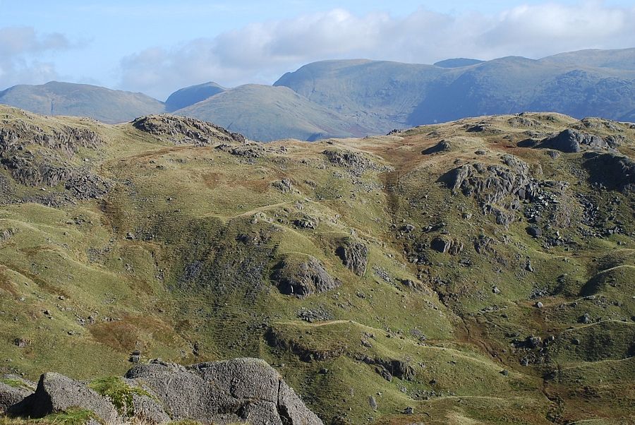
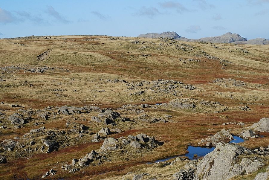
| Looking back to the Coniston fells appearing above Pike How |
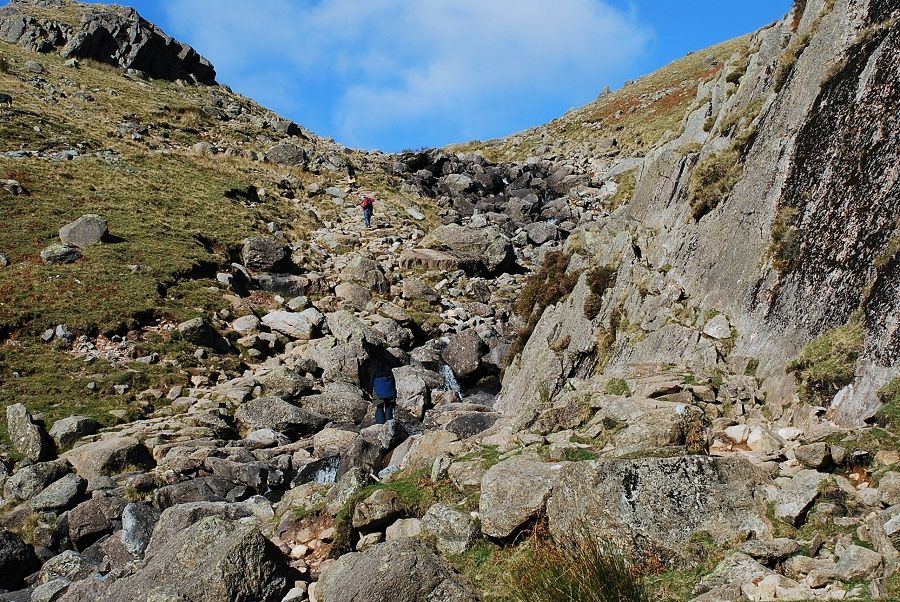 |
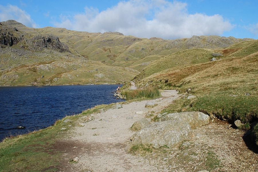
| Near the top of the gill the path crosses to the west side. When the stream is in spate it's preferable to scramble across the craggy outcrop to the right |
 |
| The Coniston Fells from the top of Stickle Ghyll |
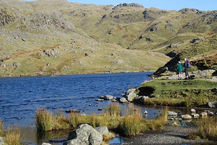 |
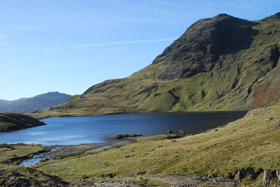
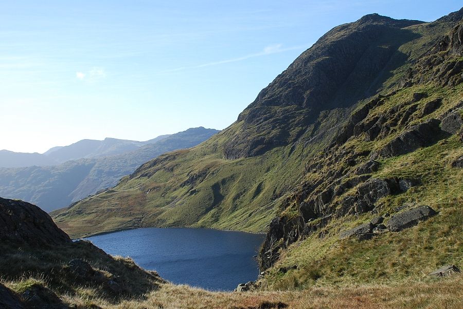
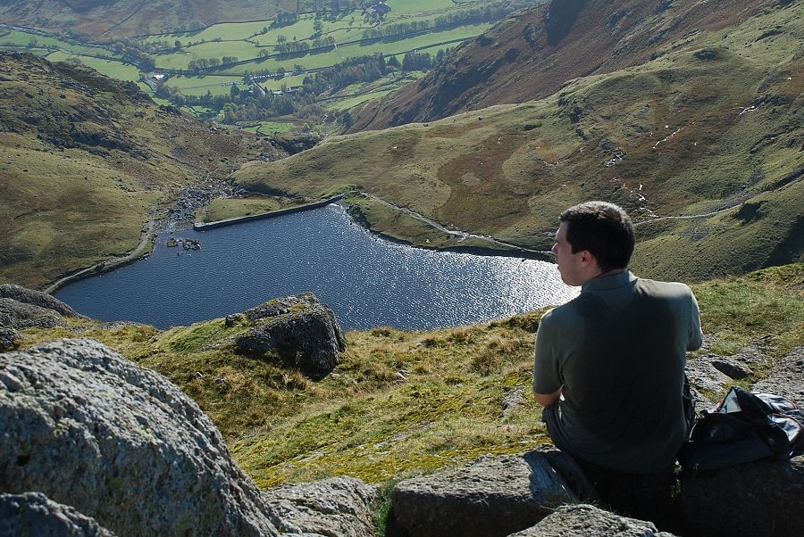
| Stickle Tarn |
 |
| Pavey Ark across Stickle Tarn |
 |
| Swirl How, Great Carrs and Pike o' Stickle from Stickle Tarn dam |
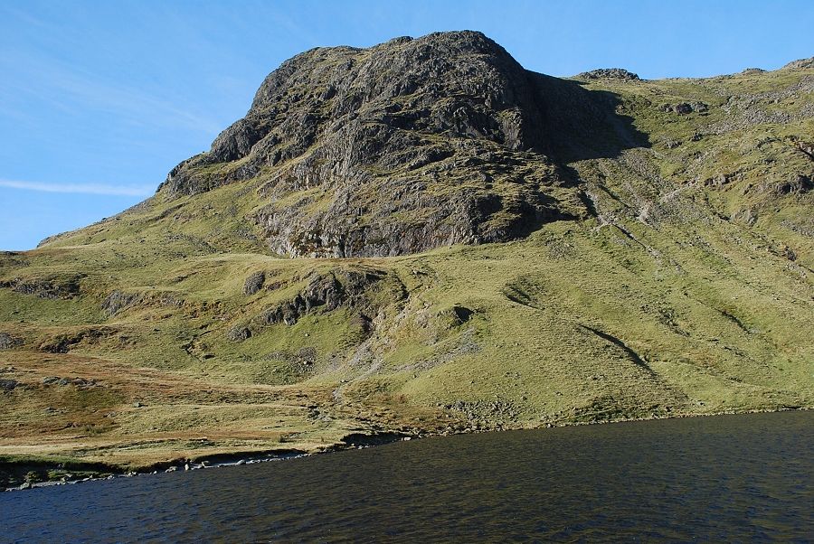 |
| Harrison Stickle |
 |
| Following the shoreline path on the eastern side of the tarn |
 |
| Harrison Stickle from the eastern side of Stickle Tarn |
 |
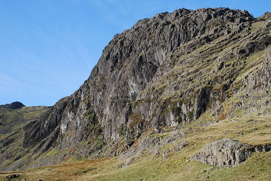
| The path fords Bright Beck and climbs towards the end of Pavey Far East Buttress |
 |
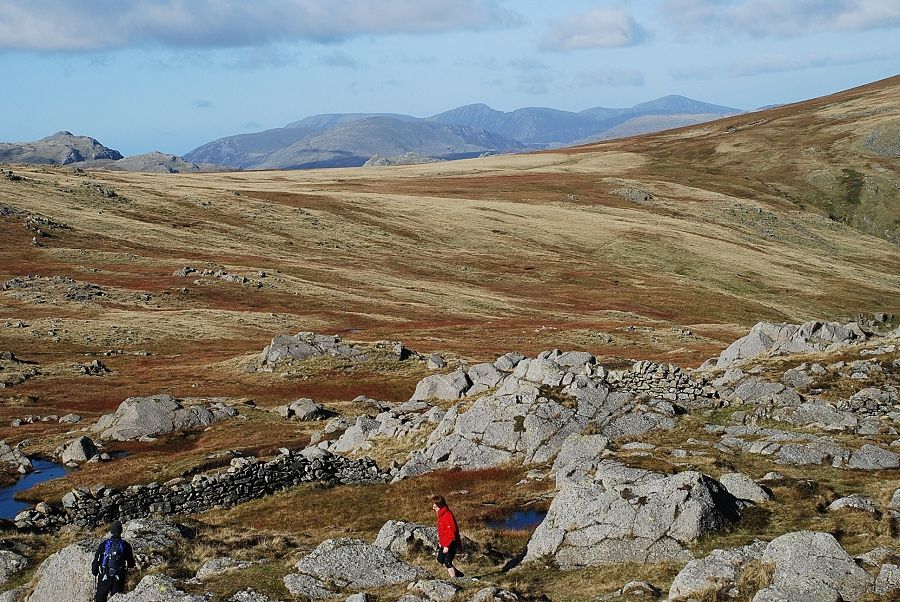
| Looking back to Stickle Tarn and the Coniston Fells from the path below Pavey Far East Buttress |
 |
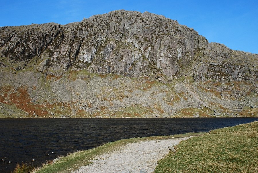
| Looking across the south face of Pavey Ark from the path |
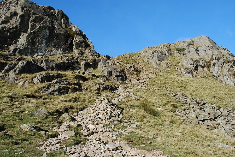 |
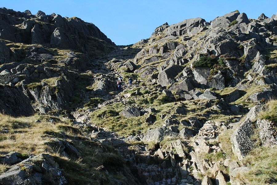
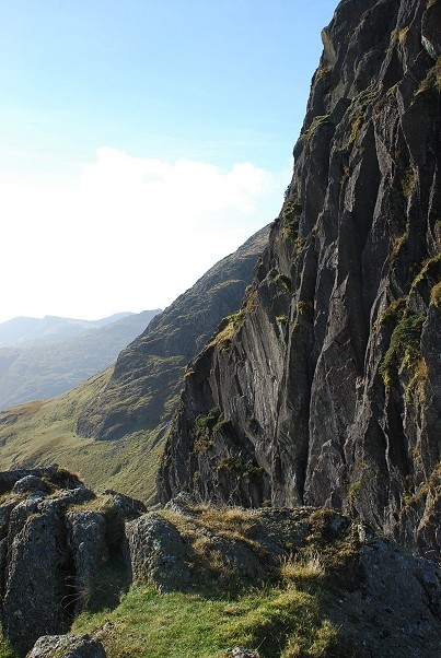
| The path climbs to an obvious gap between the lowest crags of Pavey Far East Buttress |
 |
| Looking back to Stickle Tarn and Wetherlam |
 |
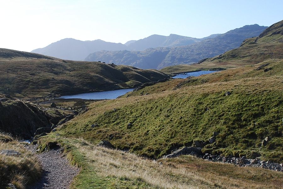
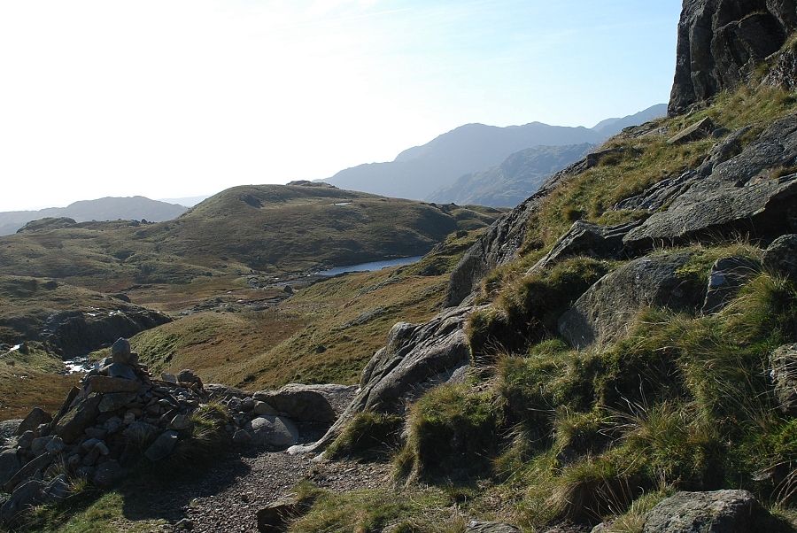
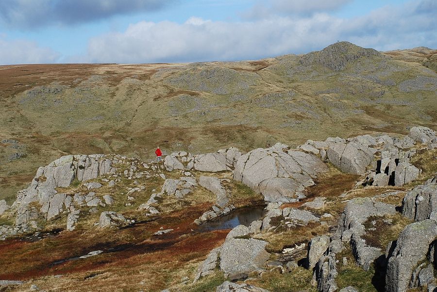
| The path emerges onto a peaty col behind the crags with a view towards Sergeant Man |
 |
| The North Rake from the col |
 |
| Stickle Tarn and Harrison Stickle from the col |
 |
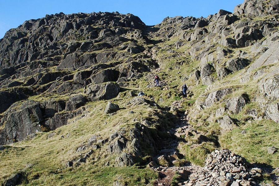
| Looking up the North Rake from its midway point |
 |
| Looking down the lower part of the rake from its midway point |
 |
| Looking across the Blea Rigg ~ Sergeant Man ridge to Fairfield from the North Rake |
 |
| The top of Easy Gully is passed just beyond the halfway point on the rake |
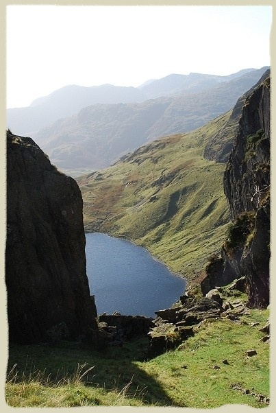 |
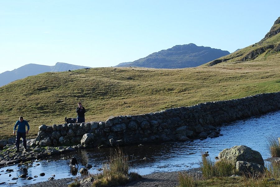
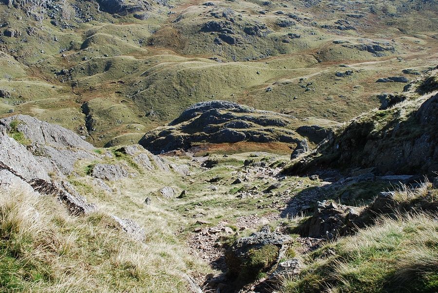
| Looking down to Stickle Tarn from the top of Easy Gully Pavey Ark - page 7 |
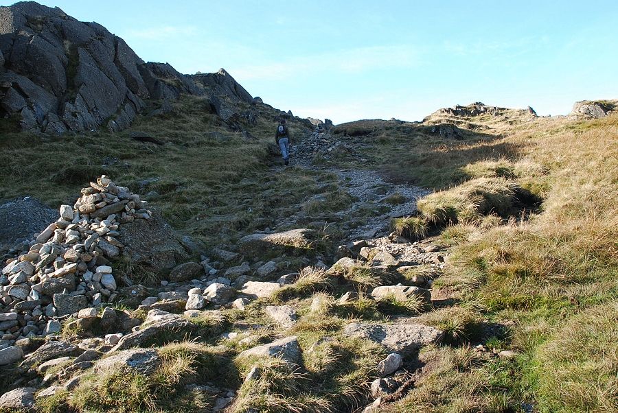 |
| Easy slopes near the top of the rake |
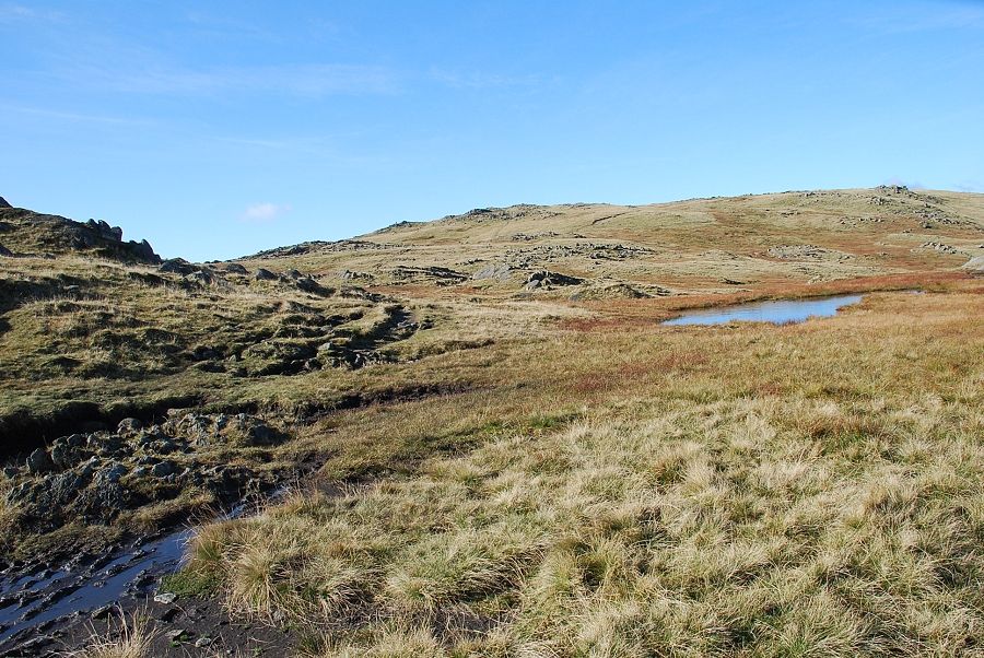 |
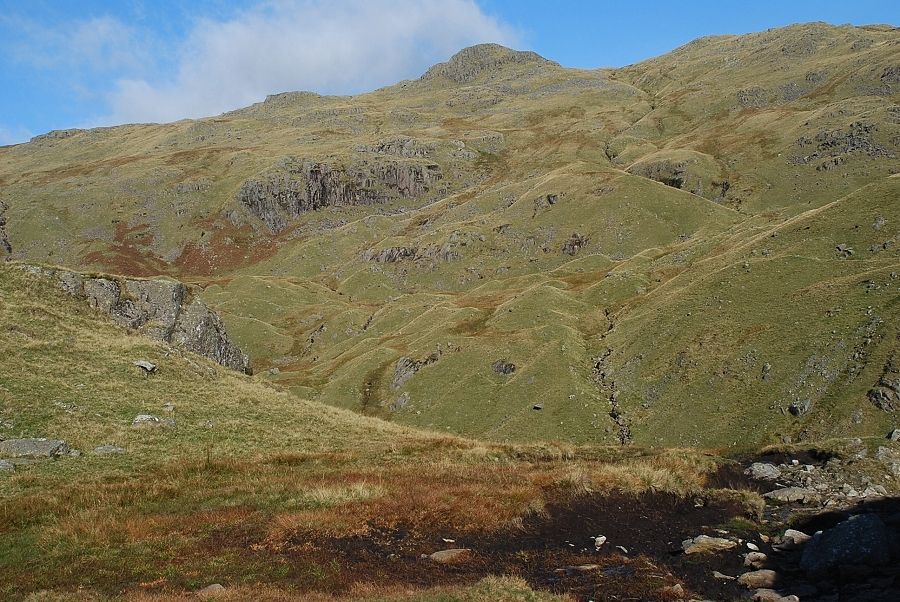
| At the top of the rake wide slopes lead on towards Thunacar Knott. The path to the summit of Pavey Ark turns to the left opposite a small tarn |
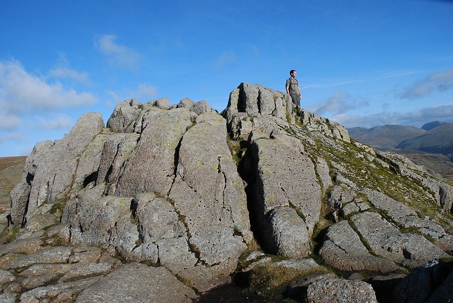 |
| The summit rocks of Pavey Ark |
 |
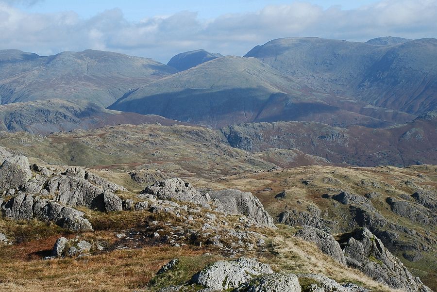
| Helvellyn, Nethermost Pike and Dollywaggon Pike from the summit of Pavey Ark |
 |
| Dollywaggon Pike, St. Sunday Crag, Fairfield and Hart Crag on the horizon |
 |
| Looking towards Red Screes, Ill Bell and Yoke on the horizon |
 |
| Looking down to Stickle Tarn from the summit of Pavey Ark |
 |
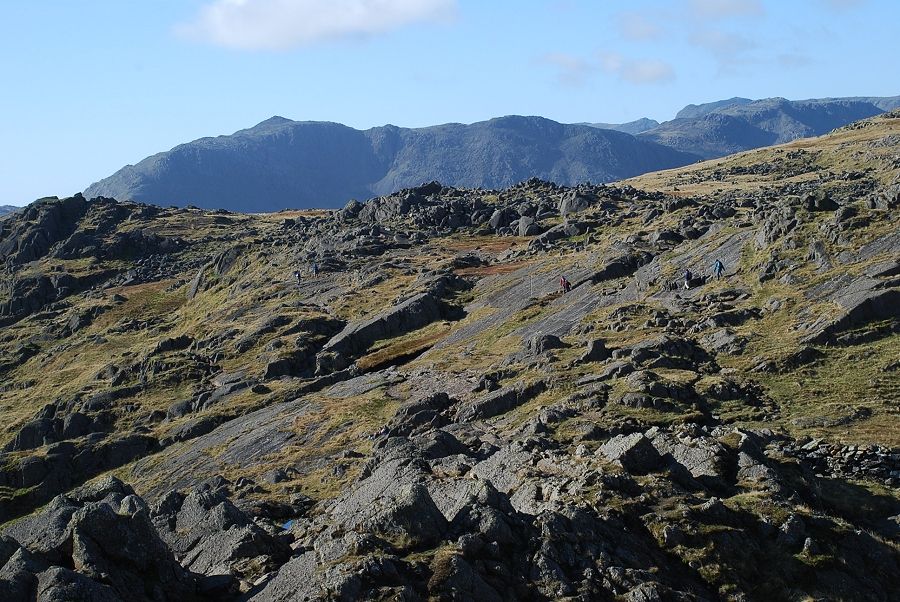
| Crinkle Crags beyond the ridge leading to Harrison Stickle |
 |
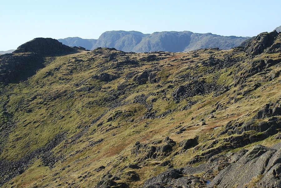
| Bowfell with Scafell Pike beyond Esk Pike on the right |
 |
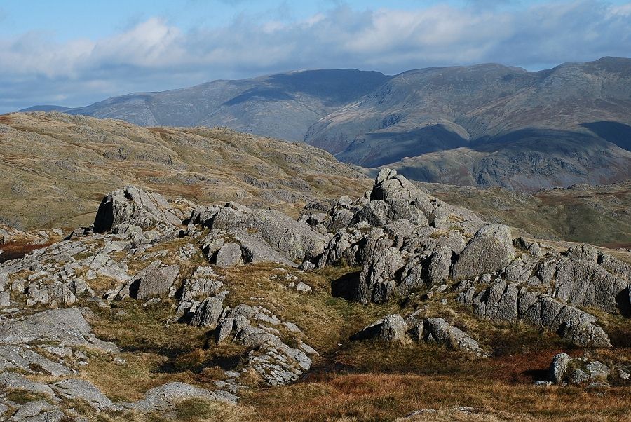
| Glaramara over the slopes of Thunacar Knott |
 |
| Grasmoor, Eel Crag, Sail and Grisedale Pike on the skyline |
 |
| Sergeant Man |
|