 |
| Pillar from the car park at Wasdale Head. Today I had arranged to meet up with a couple of members of the UK Walking Forum, Helen and Kev, who were walking part of the Mosedale Horseshoe. I accompanied them as they climbed Pillar by the High Level Route |
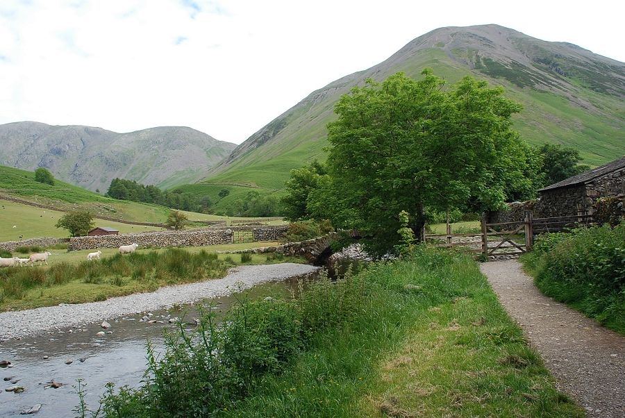 |
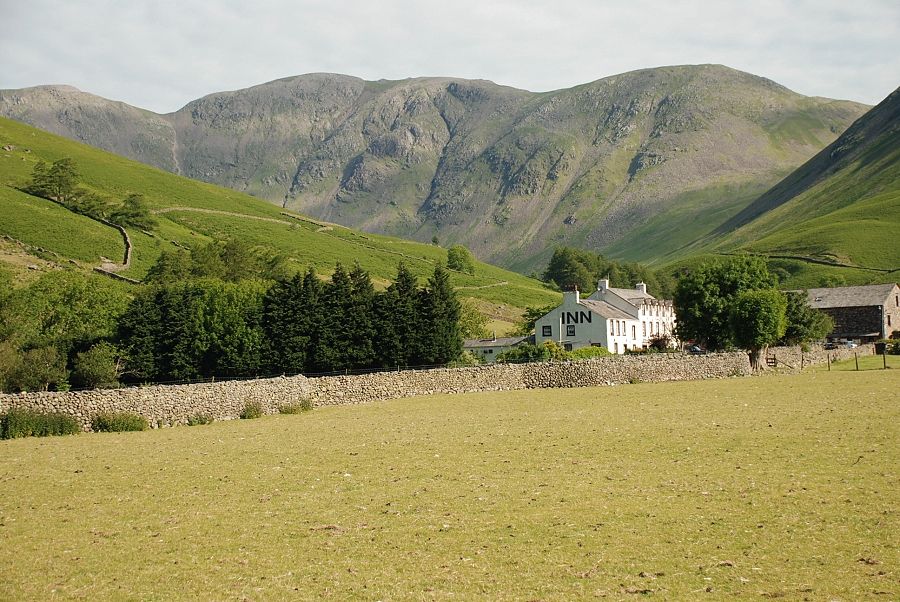
| To the side of the hotel a lane leads behind Row Head towards the open fellside, passing the picturesque old packhorse bridge over Mosedale Beck |
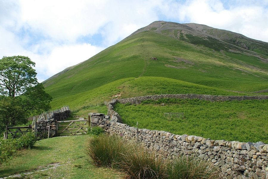 |
| The steep southern ridge of Kirk Fell dominates the view ahead as the lane rises to a gate |
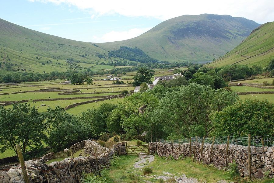 |
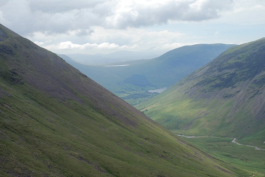
| Looking back to Wasdale Head from the top of the lane |
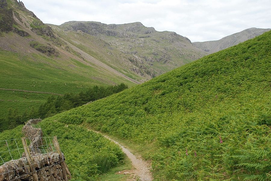 |
| The path towards Black Sail Pass |
 |
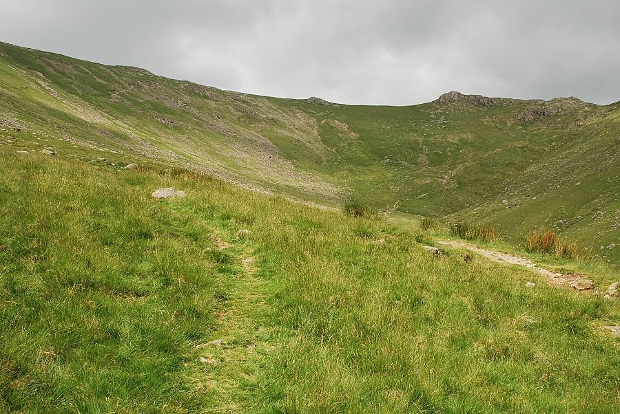
| The path continues on towards a gate in the intake wall and into Mosedale |
 |
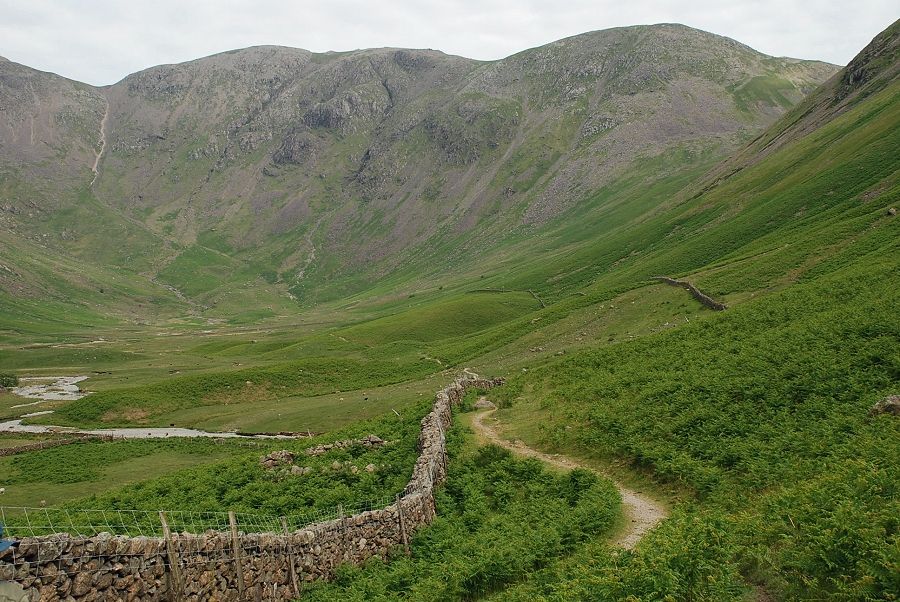
| Looking back from the Mosedale path. Hidden in the trees on the right is the fine waterfall of Ritson's Force |
 |
| Looking from further along the Mosedale path to Scafell towering above Lingmell |
 |
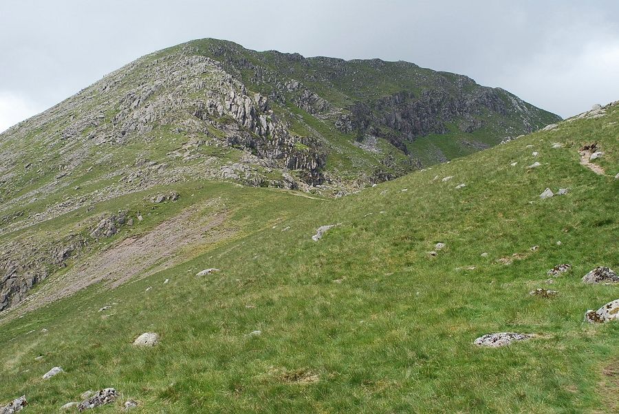
| Pillar from the start of the climb towards Black Sail Pass |
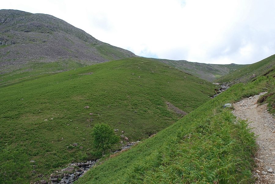 |
| Approaching the point where the path crosses Gatherstone Beck |
 |
| Looking back from Gatherstone Beck to Stirrup Crag on Yewbarrow |
 |
| Red Pike from Gatherstone Beck |
 |
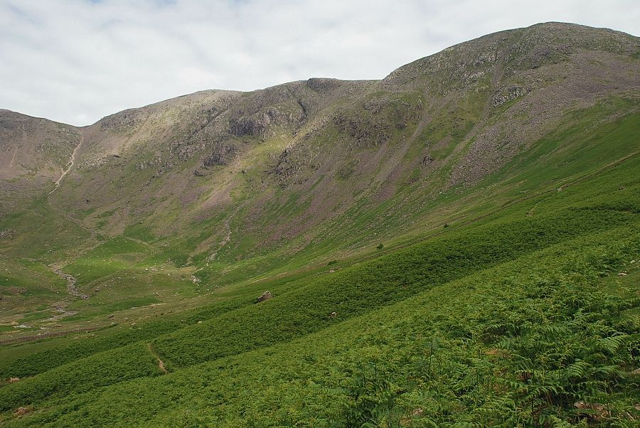
| Blackem Head flanked by Red Pike and Black Crag |
 |
| Leaving the main path which climbs towards Black Sail Pass, seen here on the extreme right, for the "short cut" path to the ridge line |
 |
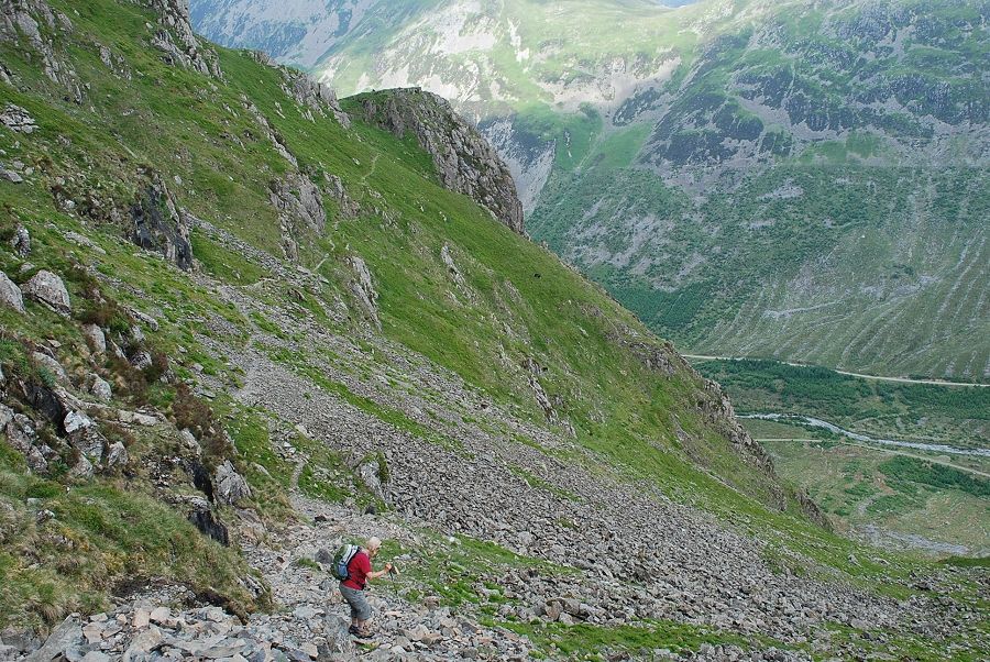
| High on the path looking down to Mosedale. The path to Black Sail Pass can be seen following Gatherstone Beck |
 |
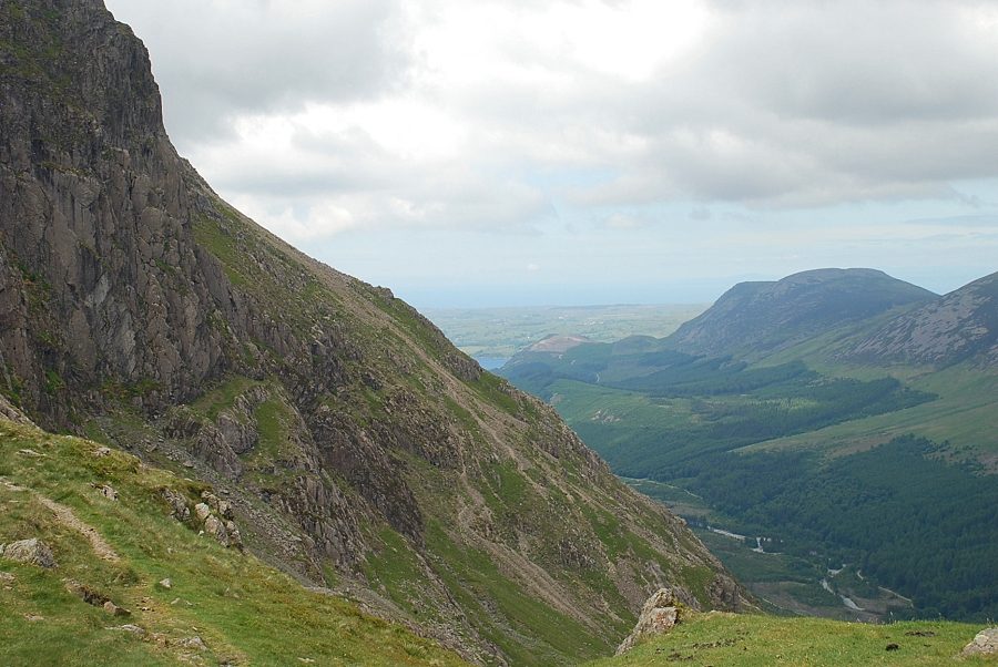
| Cloud sweeping across Gable Crag at the head of Ennerdale heralds a gradual change in the weather |
 |
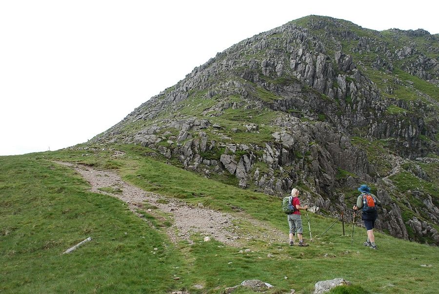
| Approaching the ridge line below Looking Stead |
 |
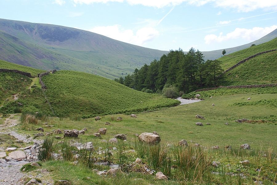
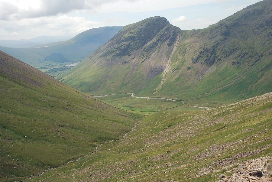
| Looking across the steep slopes of Kirk Fell to Burnmoor Tarn |
 |
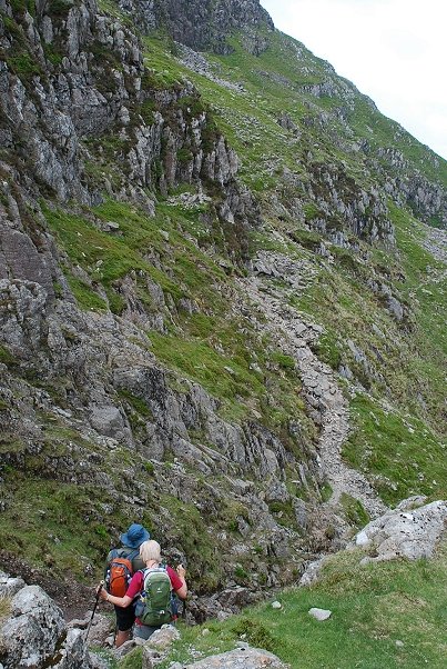
| Near the start of the High Level Route which leaves the main path to traverse across the northern coves of Pillar |
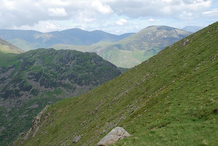 |
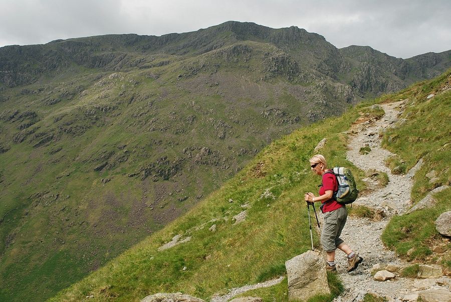
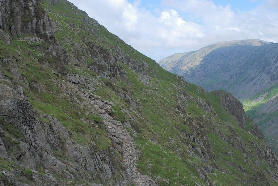
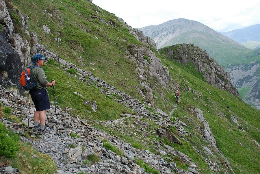
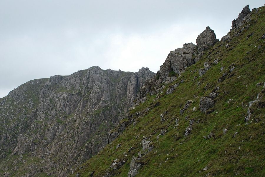
| Looking across the slopes of Looking Stead to the North Western Fells |
 |
| High Stile and High Crag across Ennerdale |
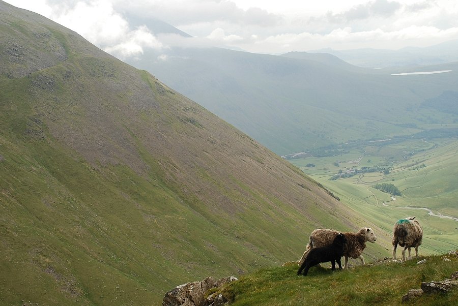 |
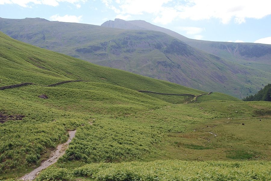
| Herdwicks above Mosedale and clouds sweeping across Scafell |
 |
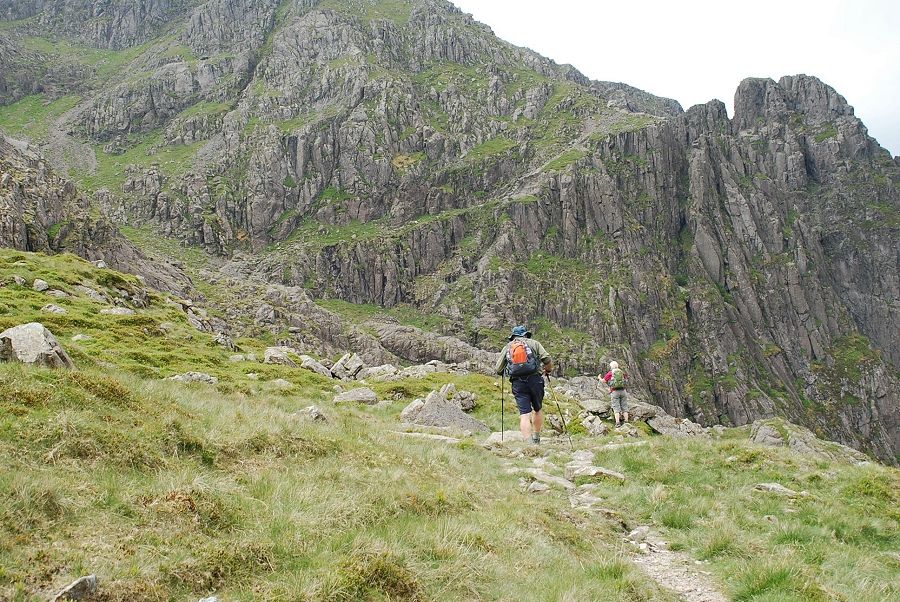
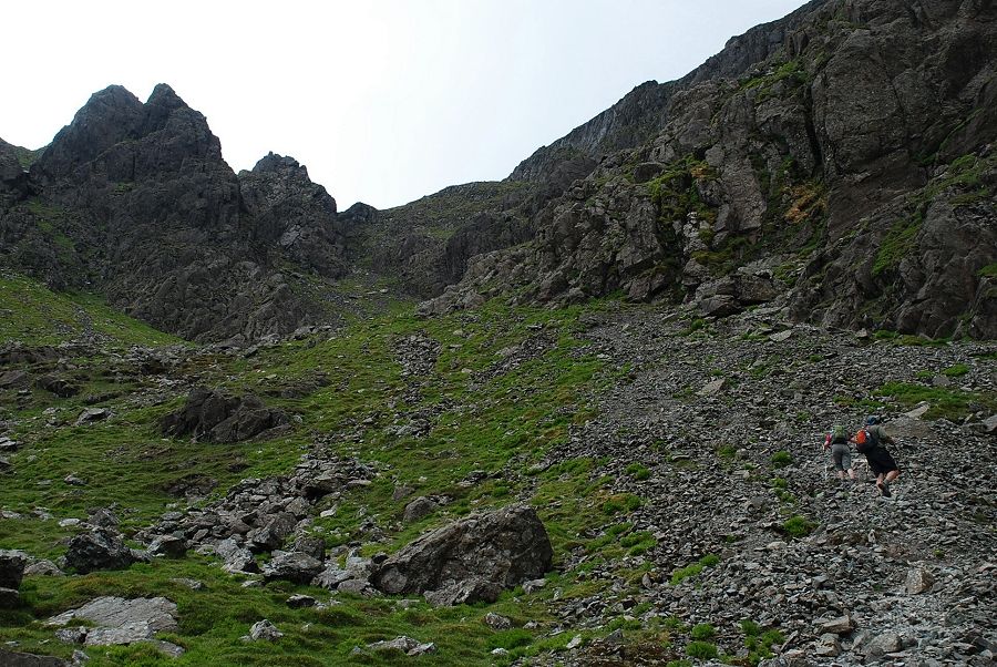
| The High Level Route starts with a descent into Green Cove |
 |
| Looking to the first objective, Proud Knott on the right across Green Cove |
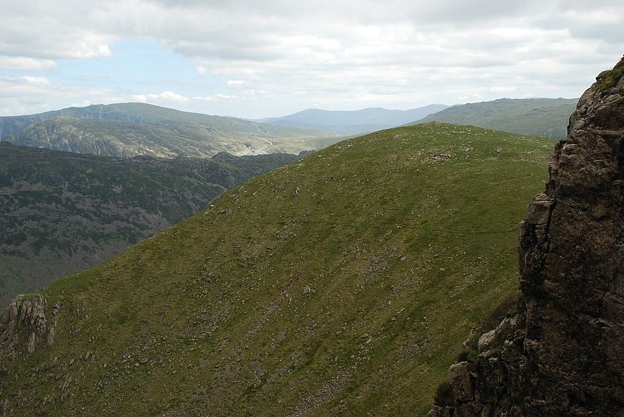 |
| Looking back from the start of the High Level Route over Looking Stead to a distant Clough Head and Helvellyn Dodds |
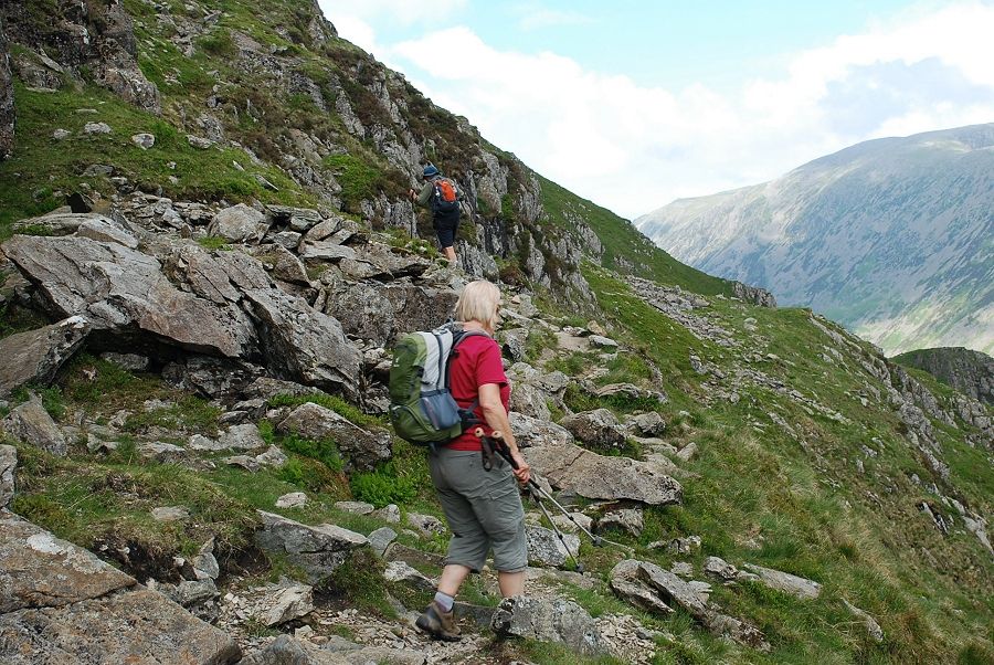 |
| On the Green Cove traverse. The High Level Route was developed by rock climbers as an easy way to reach Pillar Rock from Wasdale Head |
 |
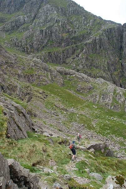
| Traversing the steep scree slope on the west side of Green Cove |
 |
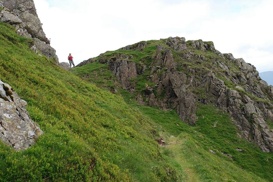
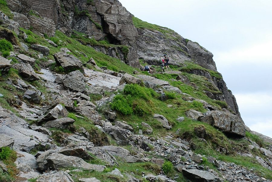
| Approaching Proud Knott |
 |
| Helen on the Proud Knott col |
 |
| Looking down to the Black Sail Youth Hostel in Ennerdale from Proud Knott |
 |
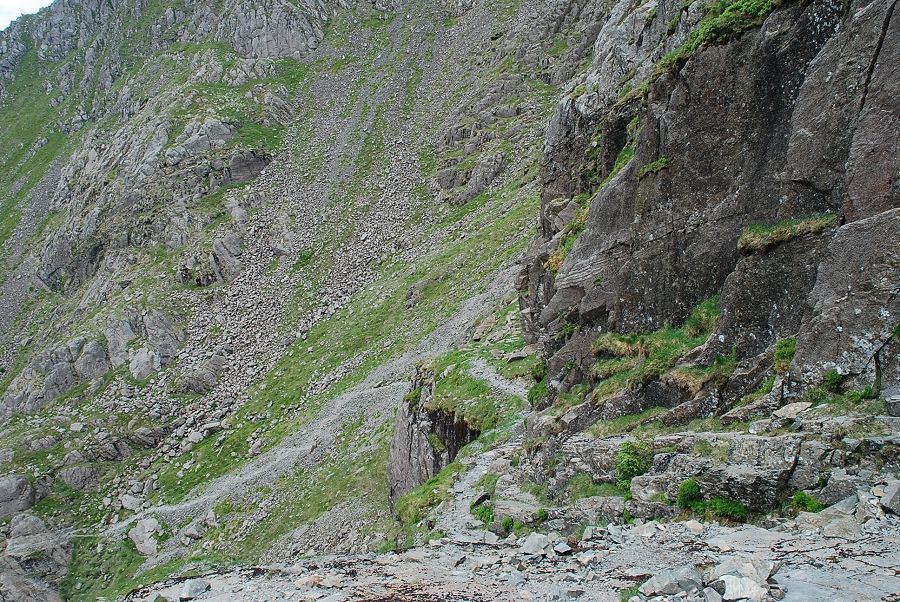
| Looking across Hind Cove to the next objective, Robinson's Cairn, seen here on centre right skyline |
 |
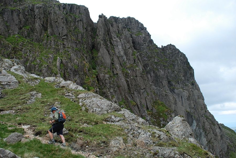
| On the climb out of Hind Cove to Robinson's Cairn |
 |
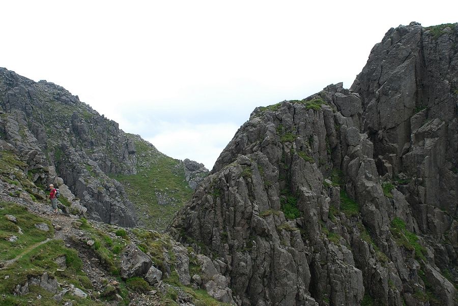
| Looking up to the crags above Hind Cove |
 |
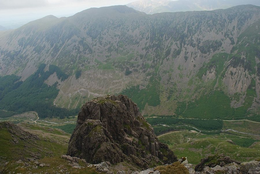
| Robinson's Cairn, a memorial to the pioneering rock climber and founding member of the Fell and Rock Climbing Club, John Wilson Robinson |
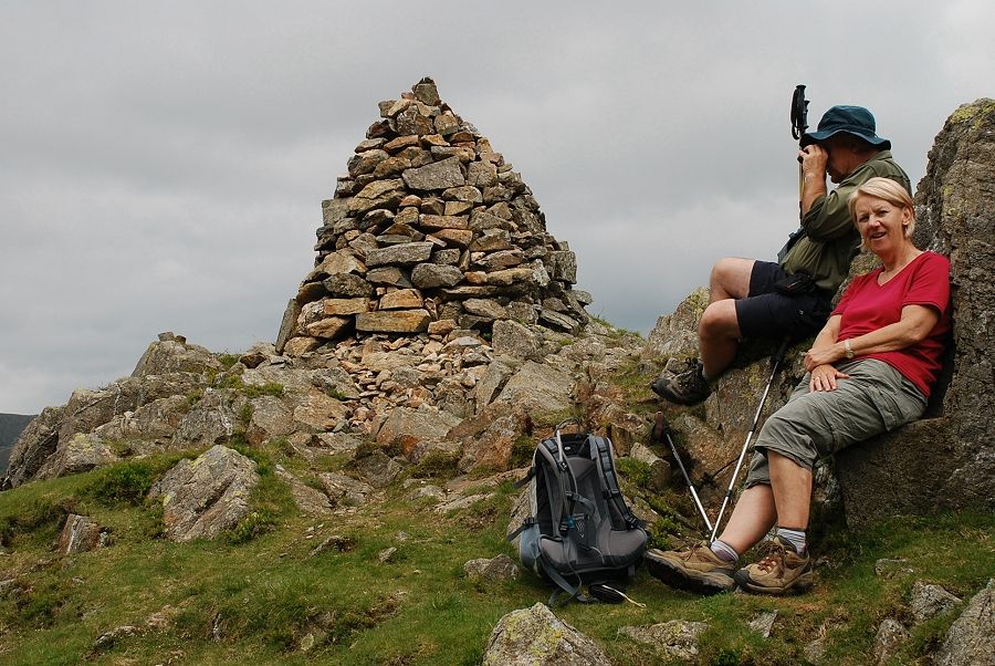 |
| Time for a break by Robinson's Cairn. Kev is studying the progress of some rock climbers on Shamrock |
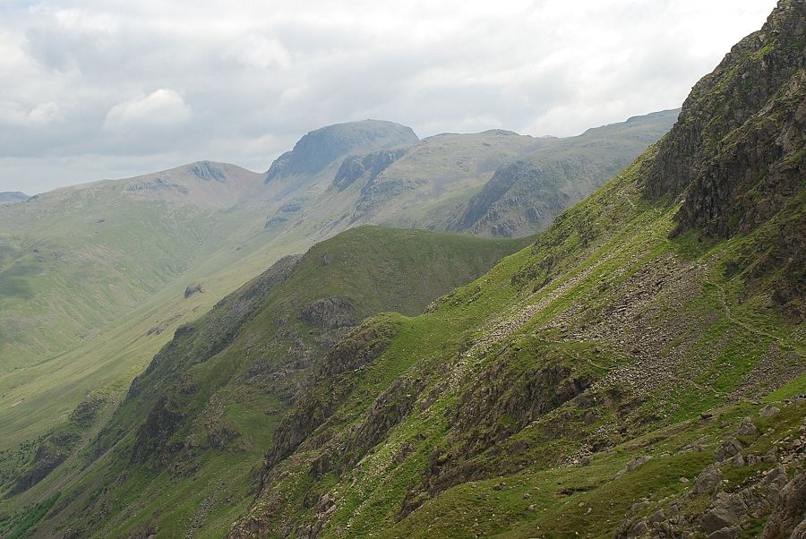 |
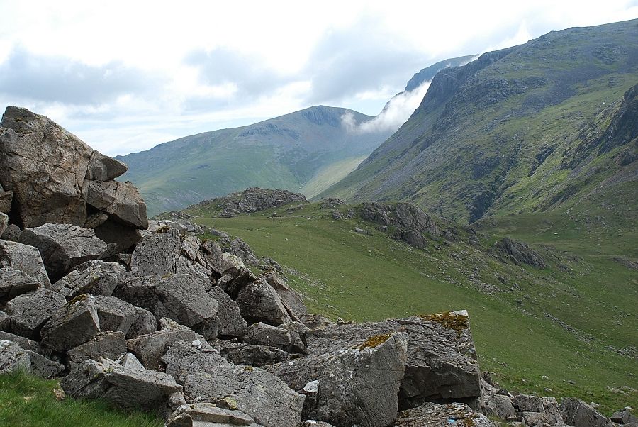
| Looking back across Hind Cove from Robinson's Cairn to Green Gable, Great Gable and Kirk Fell at the head of Ennerdale |
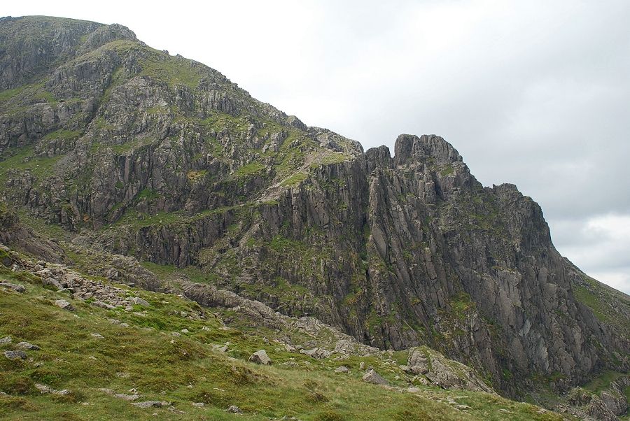 |
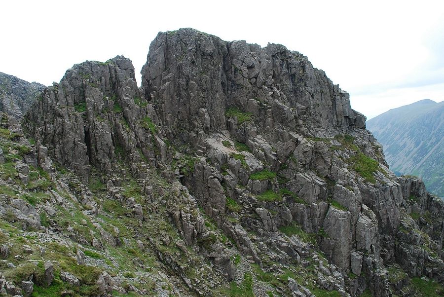
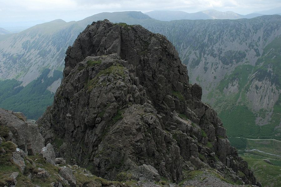
| The next objective is the Shamrock Traverse seen here rising left to right across Shamrock Crag. From this angle the crag appears to part of High Man on Pillar Rock but is in fact separated from it by the deep chasm of Walker's Gully. Hence its name - the sham rock. Above Shamrock is Pisgah, separated fom High Man by the narrow cleft of Jordan Gap, the summit of Low Man is on the right. The height of the Rock is over 500 feet |
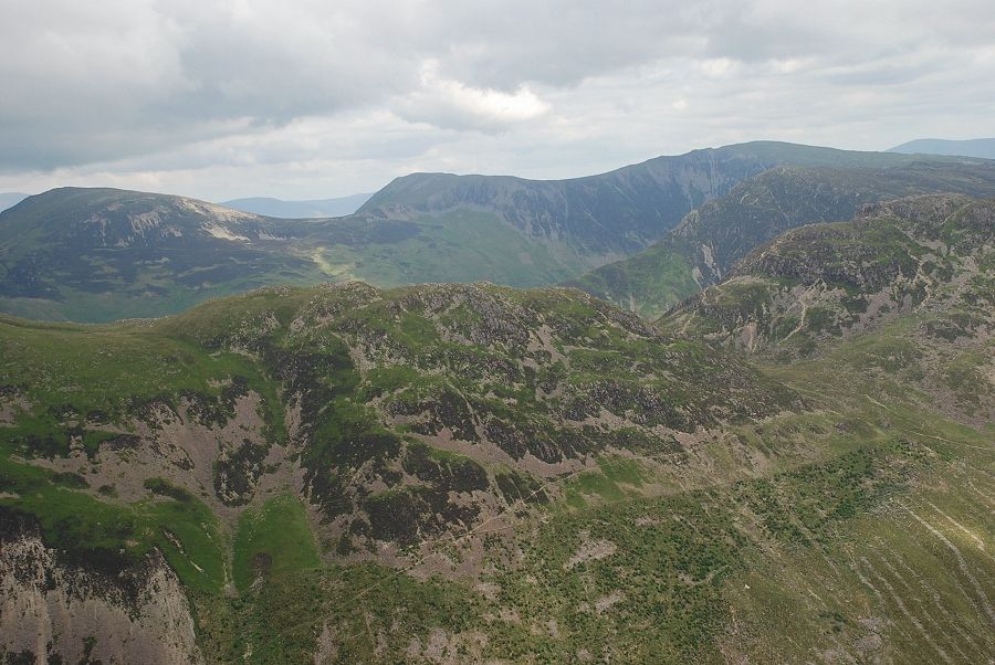 |
| Looking over Seat and Haystacks to Robinson, Hindscarth and Dale Head |
 |
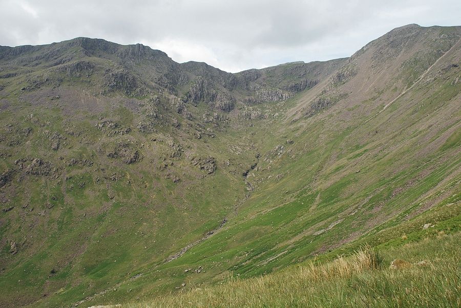
| Looking across Pillar Cove to Great Borne |
 |
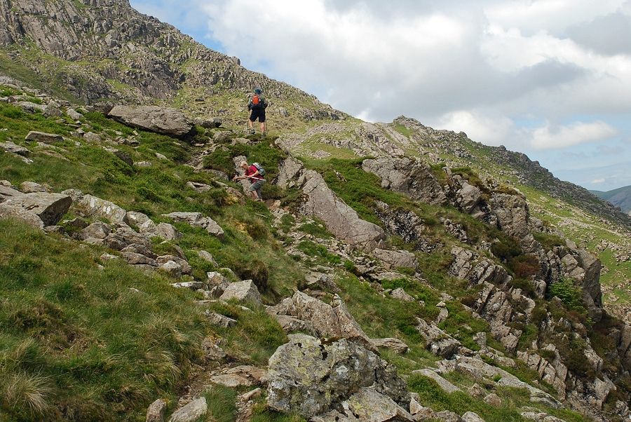
| Setting out towards Shamrock |
 |
| Descending the bouldery hollow and heading for the low rock ridge beyond it |
 |
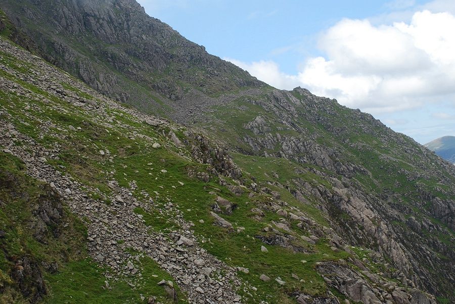
| Ascending the rock ridge below Shamrock |
 |
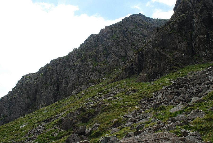
| Climbing up Great Doup towards the start of the Shamrock Traverse |
 |
| Halfway along the traverse, about to cross the tilted slabs |
 |
| Looking down the lower part of the traverse from the slabs |
 |
| At the top of the traverse looking across Walker's Gully. Pisgah on the left, isolated from High Man by the Jordan Gap, the summit of Low Man is on the extreme right. The clean looking slab in the centre is the "slab" of Slab and Notch, a difficult scrambling route to the top of High Man |
 |
| The final climb to the summit starts from the narrow ridge that connects Pisgah to the northern slopes of the fell |
 |
| Pisgah and High Man from the narrow ridge. West Gully on the left and Walker's Gully on the right. The "notch" of the Slab and Notch route now visible centre right |
 |
| Looking back to Pillar Rock from the start of the climb to the summit |
 |
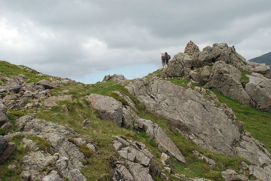
| Looking left to the summit ridge above Great Doup. Note the walker standing by the pinnacle right of centre |
 |
| Looking down to Pillar Rock from the mid point of the climb |
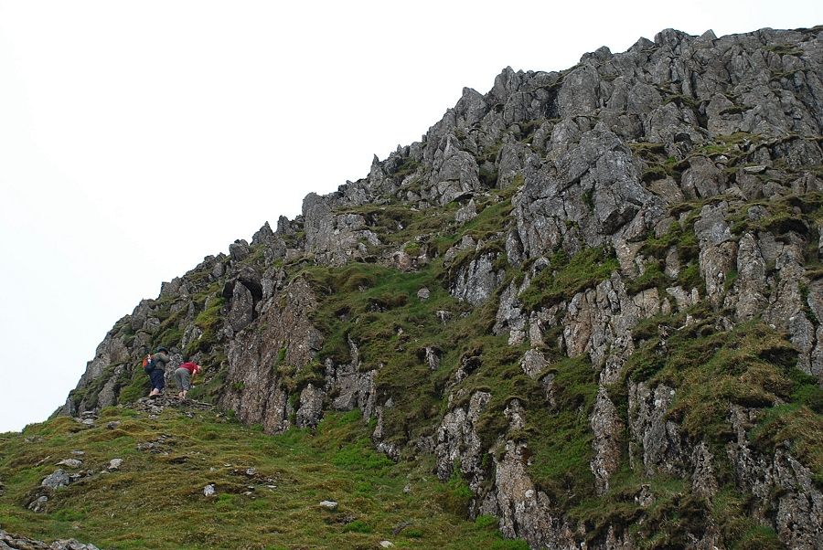 |
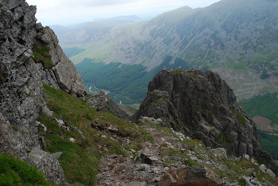
| Almost at the top the path meets a band of broken crags |
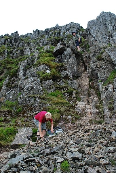 |
| The crags can be bypassed on the right or climbed directly by a steep shallow gully |
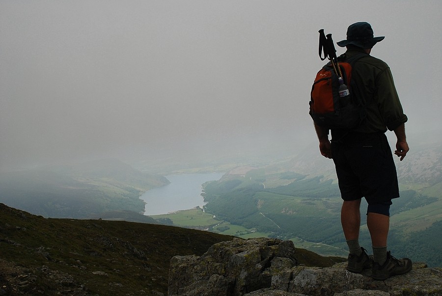 |
| Ennerdale Water from the top of the crag. Right on cue the threatening clouds enveloped the summit |
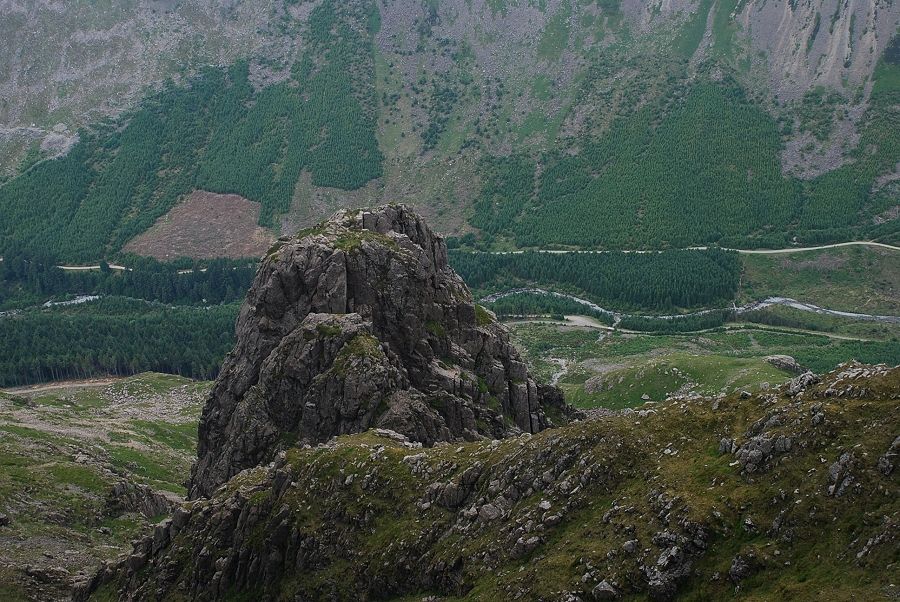 |
| Looking down on Pillar Rock from the top of the crag |
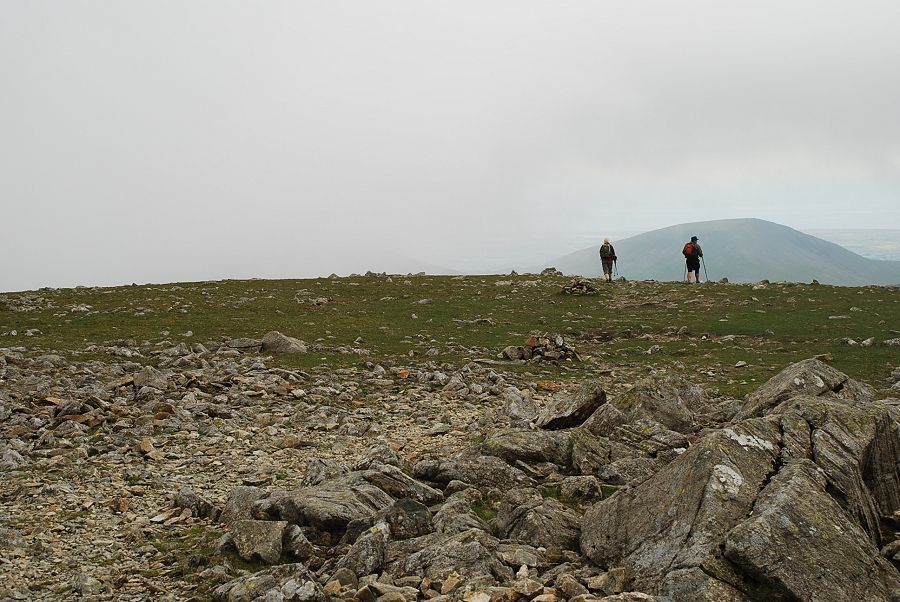 |
| Helen and Kev continue on towards Wind Gap bound for Scoat Fell and Red Pike. Thanks for your great company |
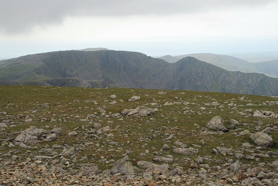 |
| The cloud lifted a little to allow a view to the west, revealing Scoat Fell and Steeple overtopped by Haycock and Caw Fell |
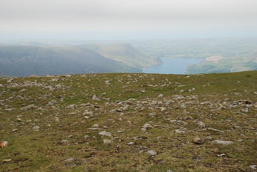 |
| Ennerdale Water |
