 |
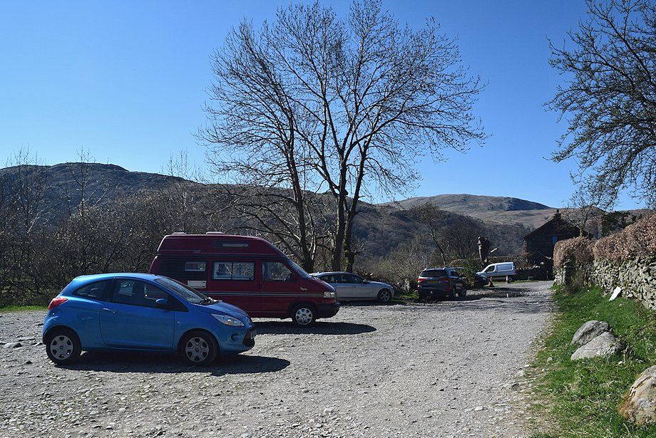
| Hartsop car park at the start of the walk |
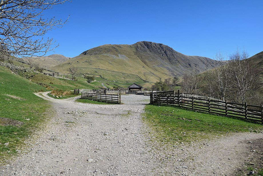 |
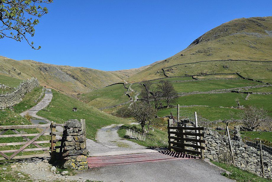
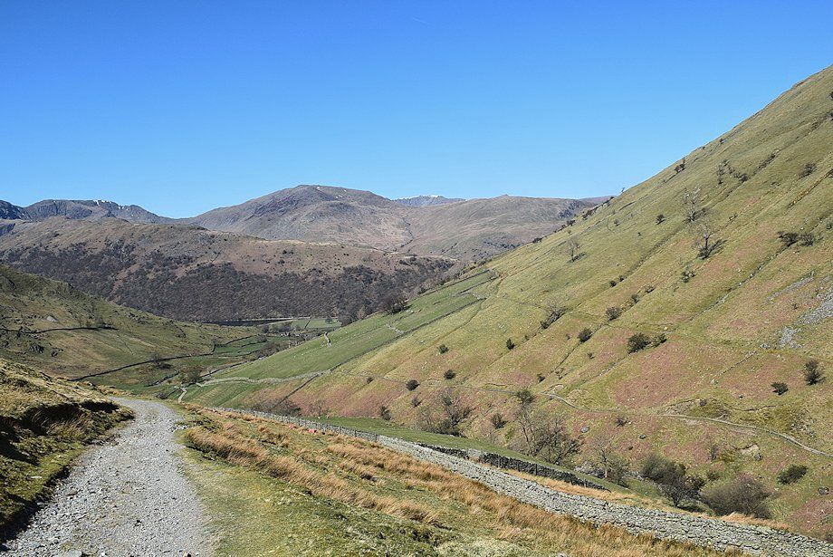
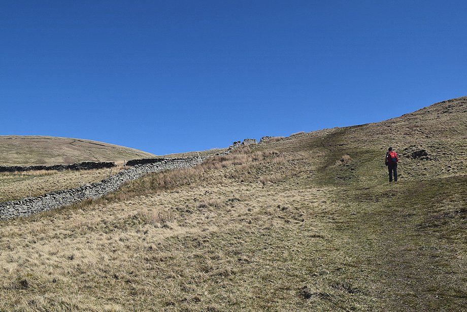
| Gray Crag from the gate at the end of the car park. The path passes some sheep pens and continues onto the Hayeswater access road |
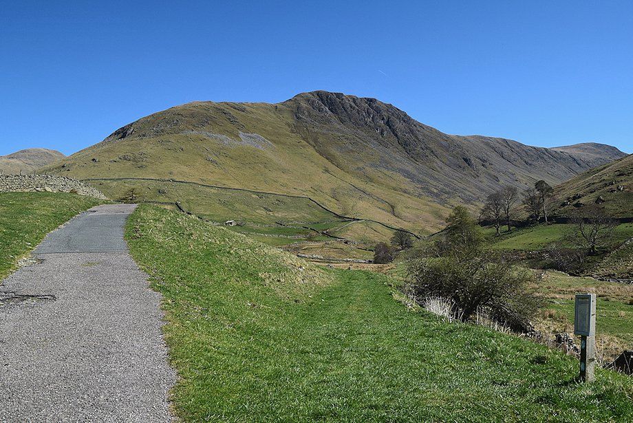 |
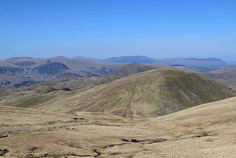
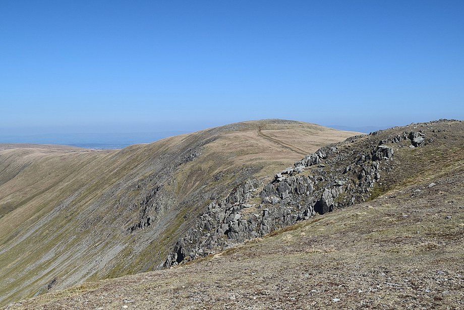
| The Knott, Gray Crag, and Thornthwaite Crag from the Haweswater access road |
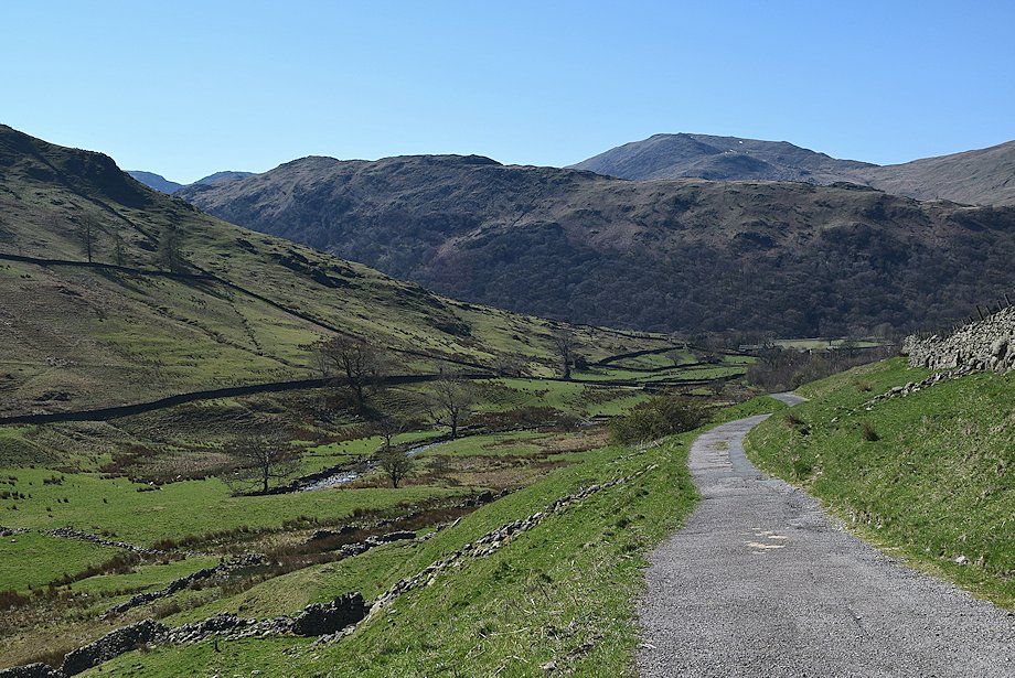 |
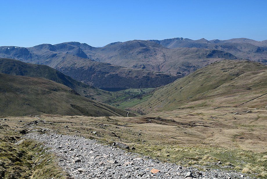
| Looking back towards St. Sunday Crag |
 |
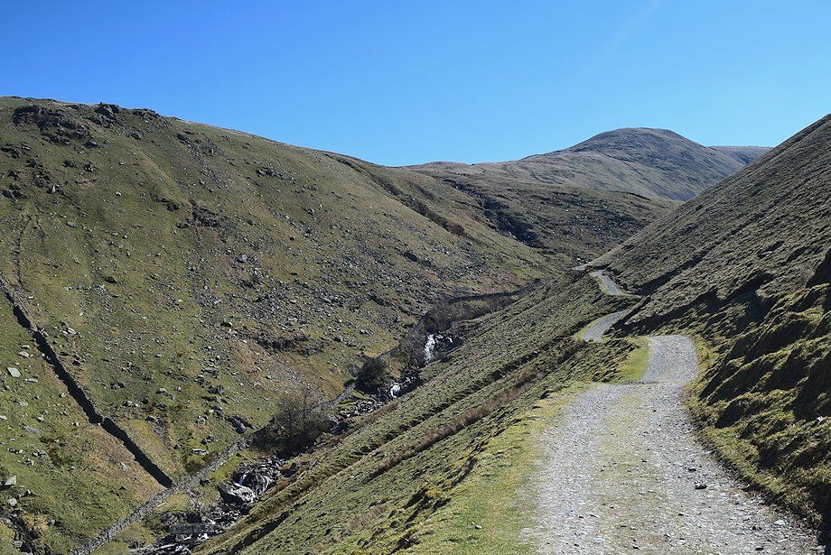
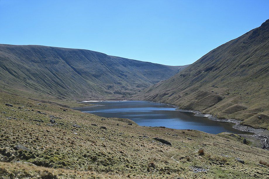
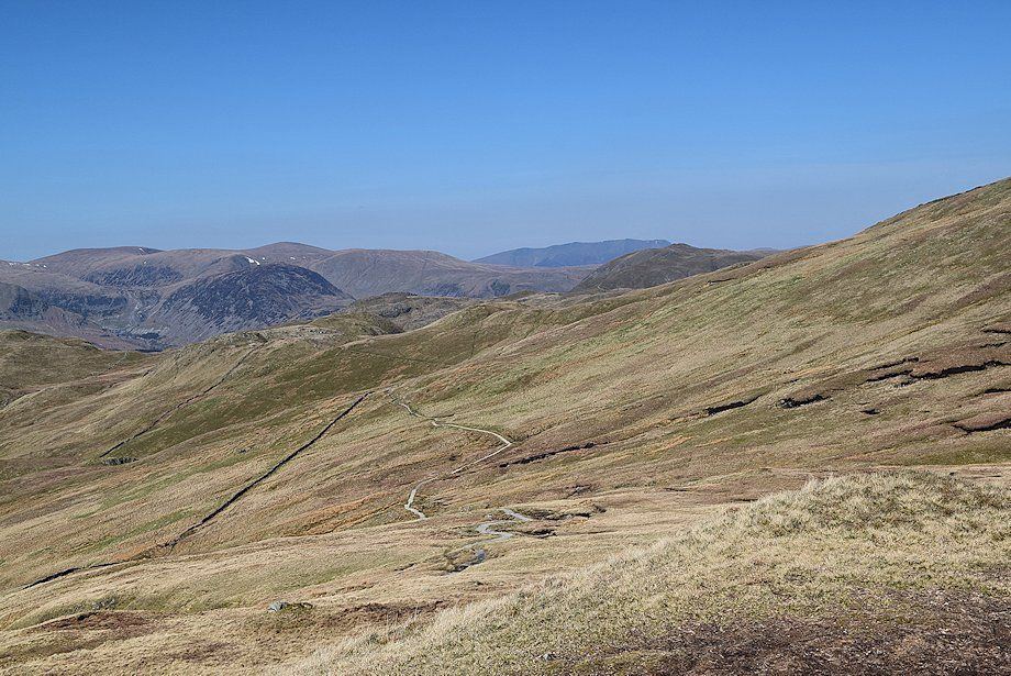
| The valley of Pasture Beck leading up to Threshthwaite Mouth at its head |
 |
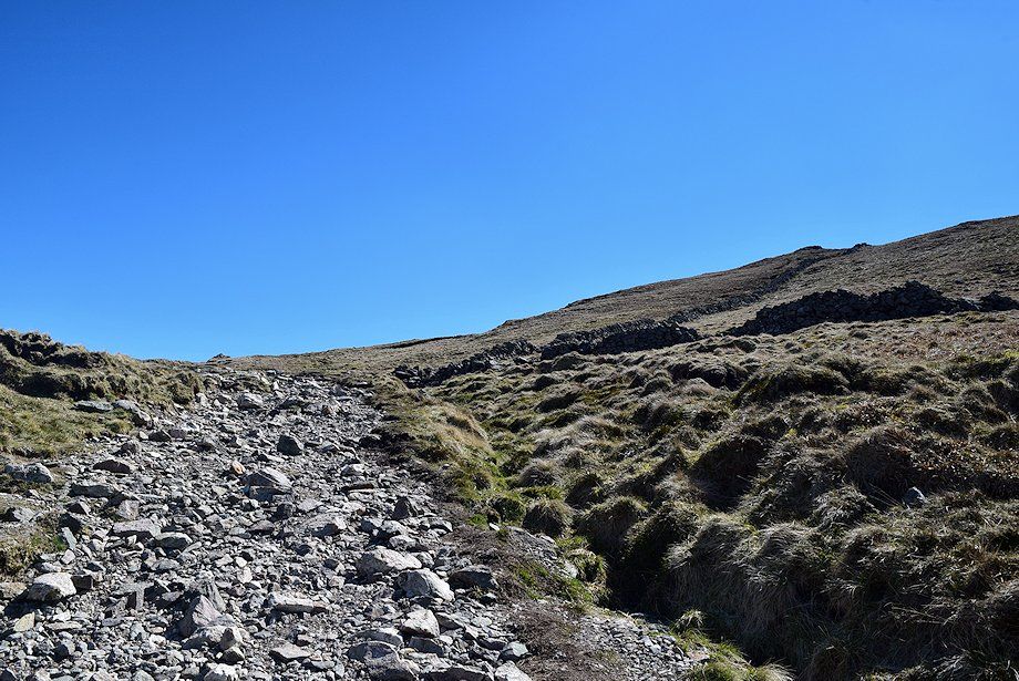
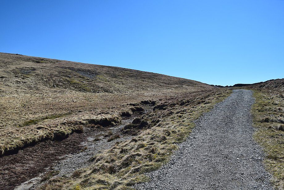
| The road divides beyond a cattle grid, the left branch begins to climb to the reservoir filter house, the right branch continues on as a rough track which descends and crosses Hayeswater Gill by Wath Bridge |
 |
| Wath Bridge over Hayeswater Gill |
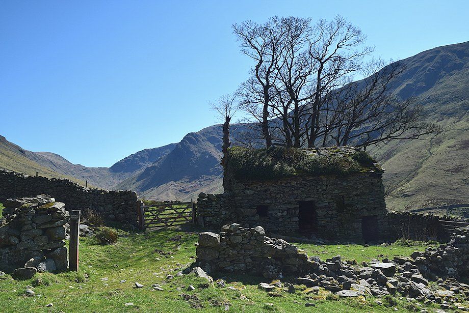 |
| The old field barn above Wath Bridge |
 |
| The Knott from the Hayeswater access track |
 |
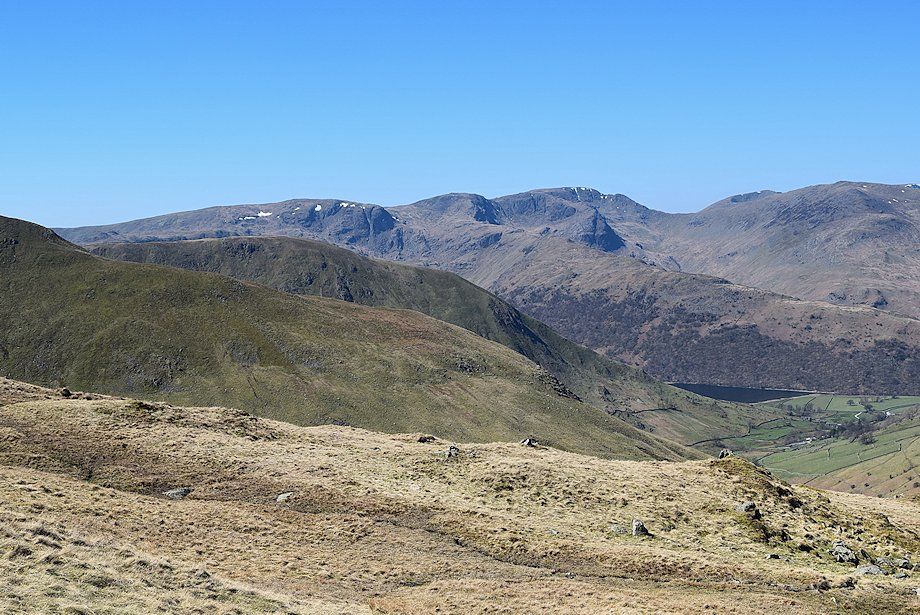
| Looking back, Fairfield and St. Sunday Crag over the Hartsop-above-How ridge with Helvellyn and Birks to the right |
 |
| A little higher on the access track, a path which rises from the filter house joins it. The building is now redundant since Hayeswater ceased to be a reservoir in 2005 and its dam has now been removed |
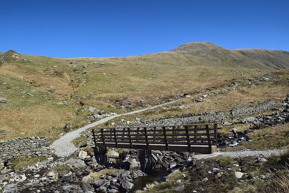 |
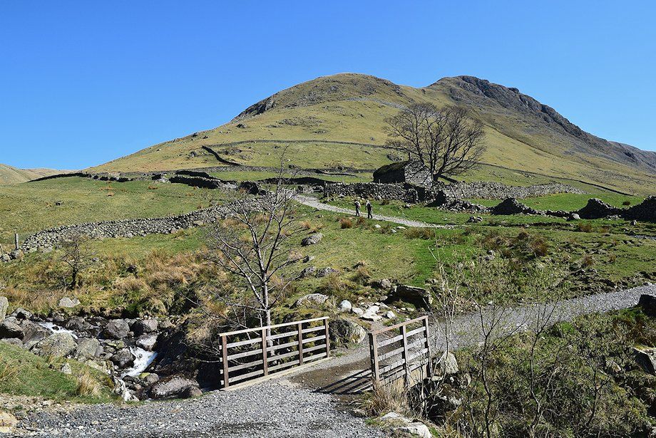
| A new footbridge has been constructed 250 yards below Hayeswater, replacing the old one which was removed together with the dam |
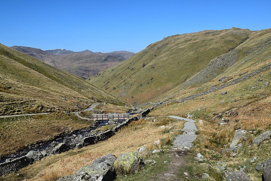 |
| Looking back to the new footbridge over Hayeswater Gill |
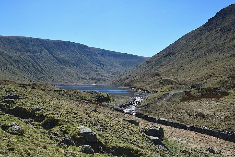 |
| Hayeswater and the site of the former dam |
 |
| The Knott, a subsidiary top of Rampsgill Head. The path climbs the steep slopes above the foot of Hayeswater to join a major path which is part of the Coast to Coast path |
 |
| Looking over towards Brock Crags and Satura Crag |
 |
| Looking back towards Hayeswater backed by High Street |
 |
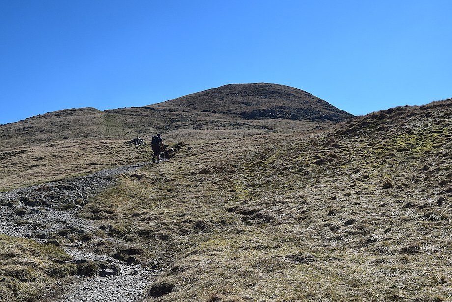
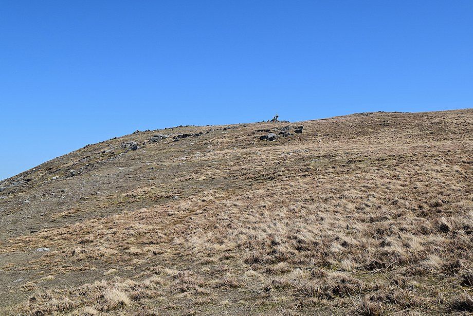
| The summit of Rest Dodd appears over the ridge line as the path approaches the top of the slope and the coast to coast path |
 |
| Looking back towards Hartsop and Brotherswater |
 |
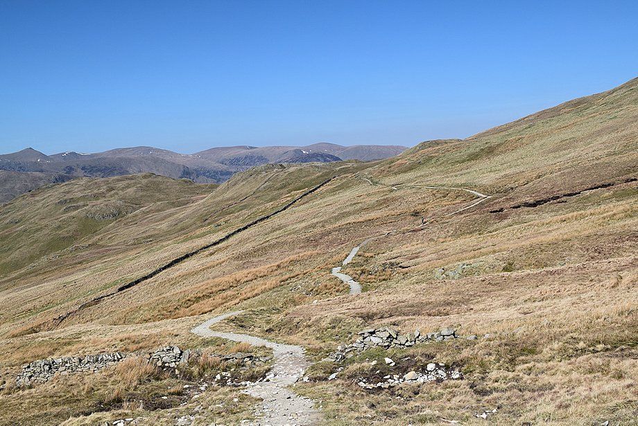
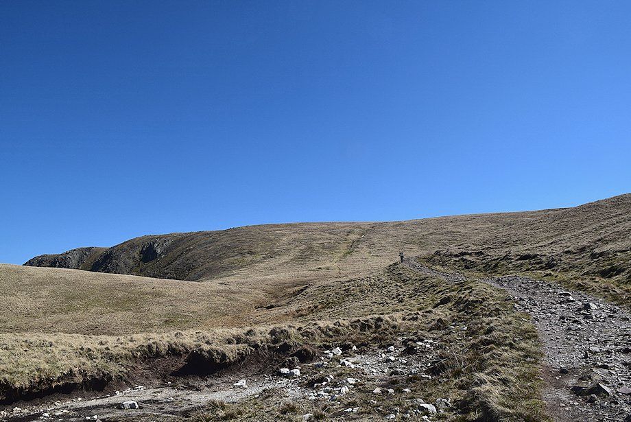
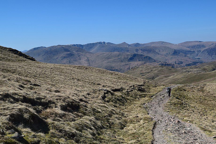
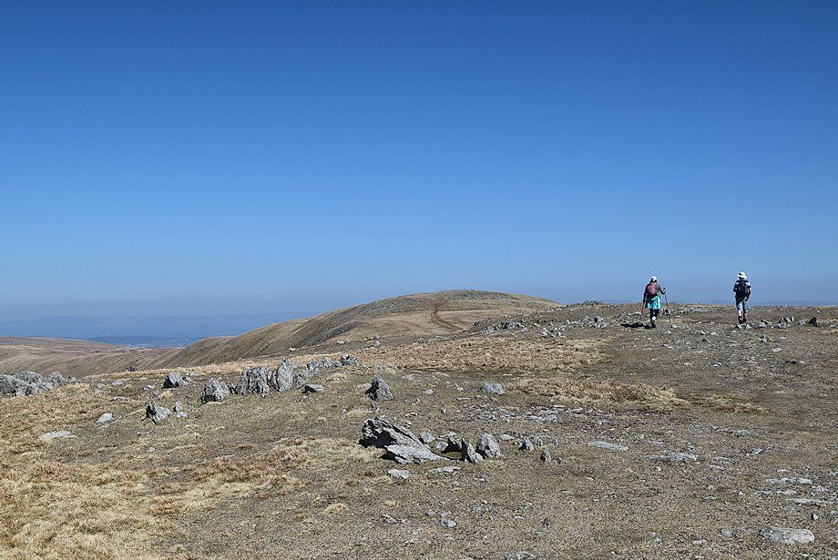
| Continuing on the Coast to Coast path as it climbs across the north-western slopes of The Knott |
 |
| Looking back along the Coast to Coast path |
 |
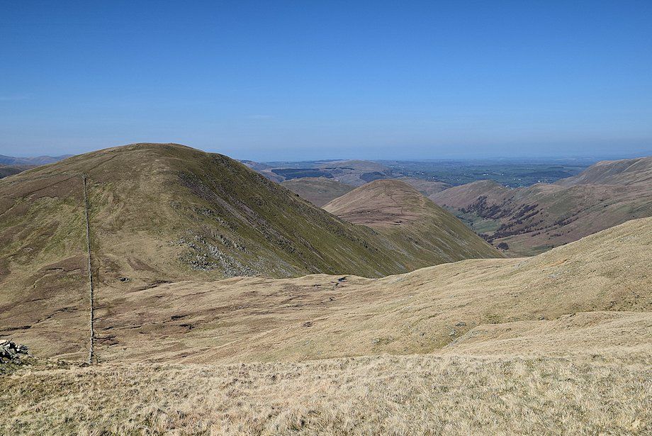
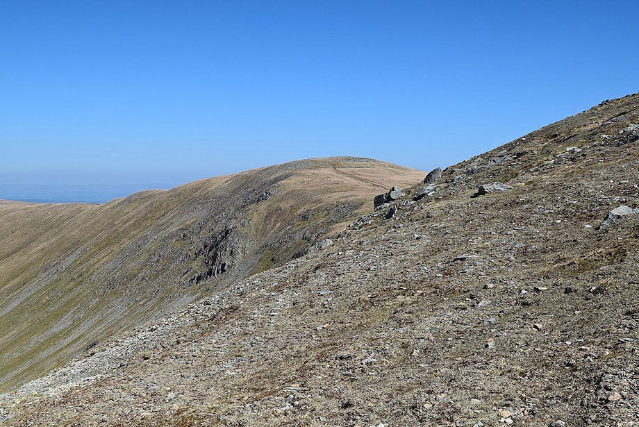
| Looking across to Gray Crag |
 |
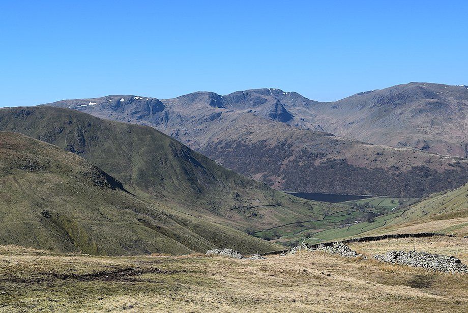
| Dove Crag on the left over the north ridges of Gray Crag and Hartsop Dodd, with Hart Crag and Fairfield in the centre. Dollywaggon Pike and St. Sunday Crag to the right of the depression of Deepdale Hause |
 |
| The summit ridge of Helvellyn appears in the distance between the summits of Hart Side and Place Fell |
 |
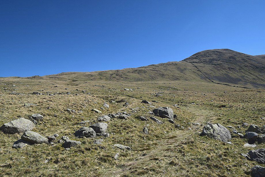
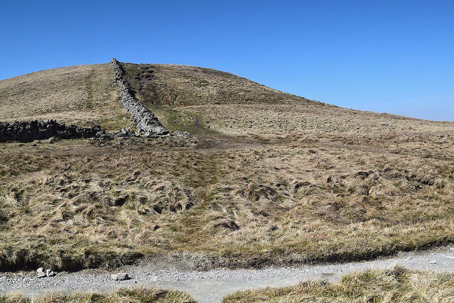
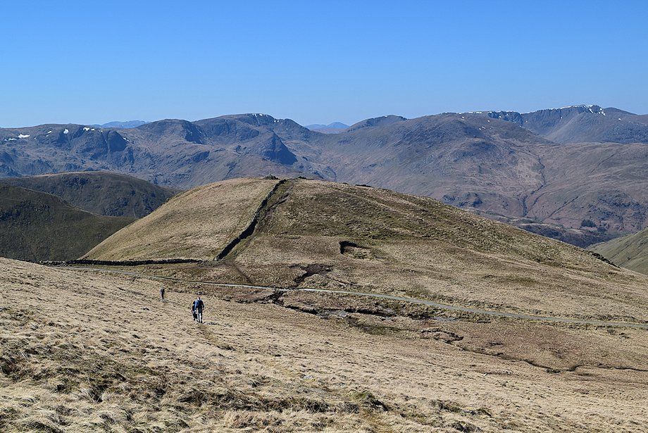
| At a junction of ruined walls a path turns off to climb to the summit of The Knott |
 |
| Looking back, a long line of the eastern fells, Dove Crag, Hart Crag, Fairfield, Dollywaggon Pike, St Sunday Crag, Nethermost Pike, Helvellyn, Catstycam, White Side, and Raise form the horizon |
 |
| Looking over towards Rest Dodd and The Nab |
 |
| The summit of Rampsgill Head comes into view |
 |
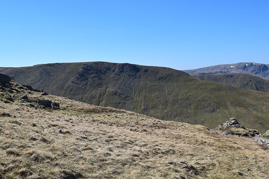
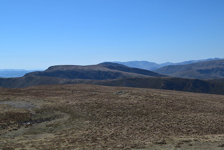
| High Raise and the crags of Rampsgill Head |
 |
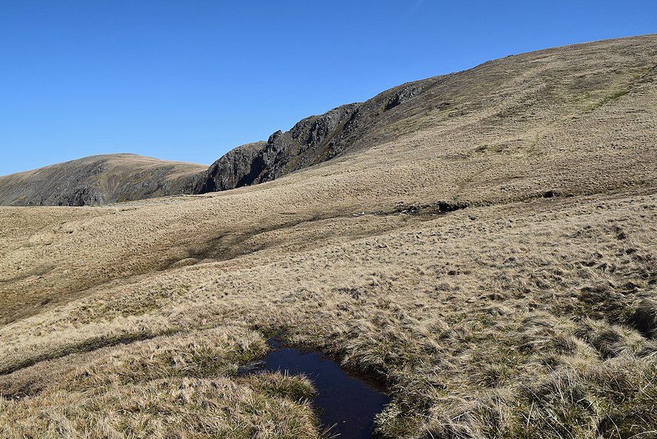
| Approaching the col between Rampsgill Head and The Knott |
 |
| Looking back from below the Rampsgill Head ~ The Knott col |
 |
| The summit of The Knott from the col |
 |
| From the col it's a straightforward climb of just over 200 feet across the grassy western slopes to reach the summit of Rampsgill Head |
 |
| Looking over towards Rest Dodd from the western slopes of Rampsgill Head |
 |
| Looking back to Rampsgill Head ~ The Knott col |
 |
| Looking over to Rest Dodd and The Nab |
 |
| Caudale Moor and Red Screes appear over the Thornthwaite Crag ~ Gray Crag ridge |
 |
| The summit cairn comes into view |
 |
| High Raise across the western slope of Rampsgill Head |
 |
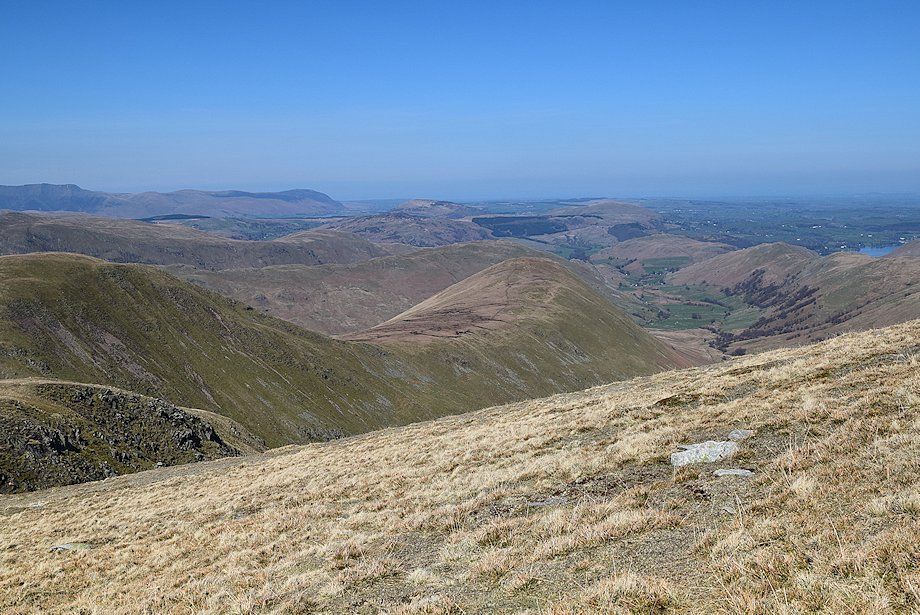
| Looking down on the valley of Ramps Gill |
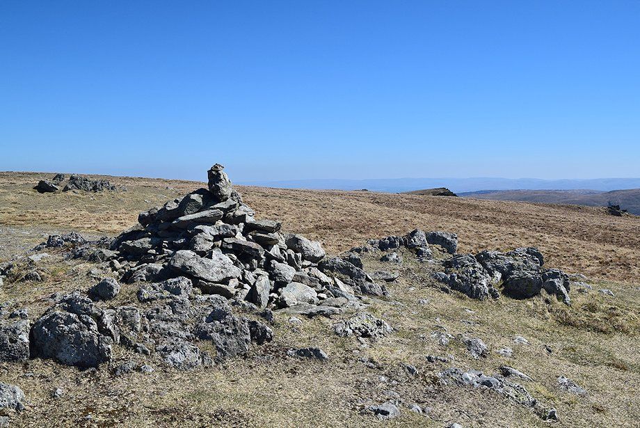 |
| The summit cairn on Rampsgill Head |
 |
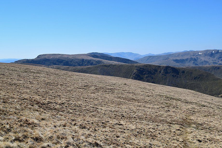
| The connecting ridge to High Raise |
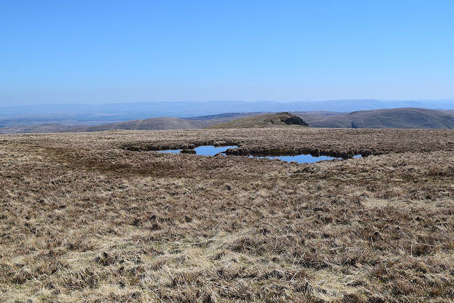 |
| The summit of Kidsty Pike appears over the pools on the extensive summit plateau |
 |
| Looking south to Branstree, Tarn Crag, and Harter Fell |
 |
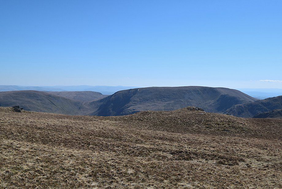
| Mardale Ill Bell and High Street |
 |
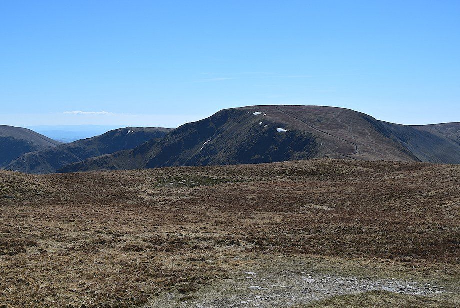
| Thornthwaite Crag |
 |
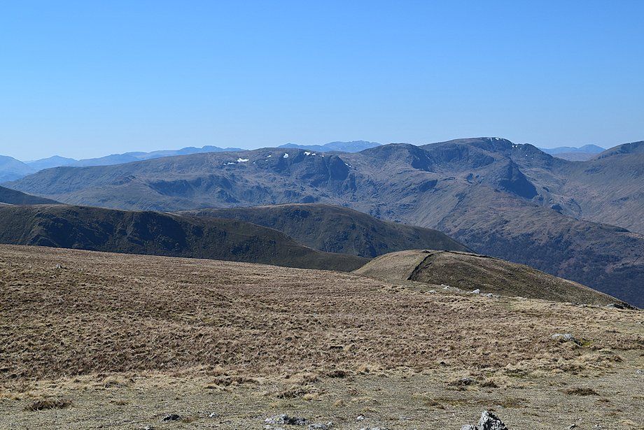
| Looking south west to Caudale Moor and Red Screes backed by the Coniston fells in the centre. To the right, Harter Fell, Pike o' Blisco and Crinkle Crags over the High Pike ~ Dove Crag ridge |
 |
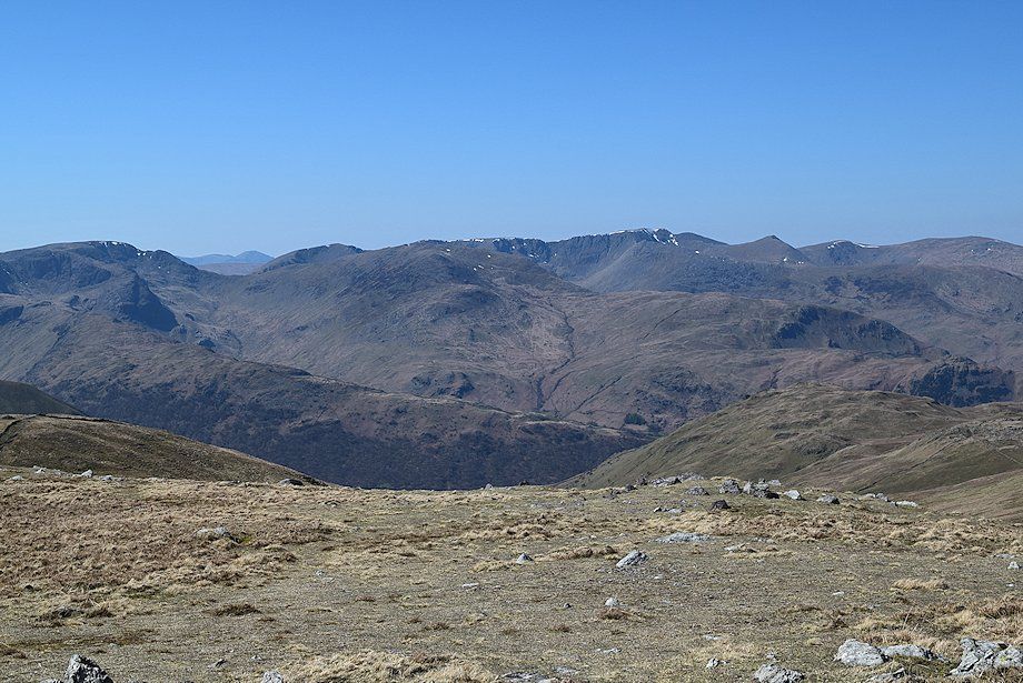
| The summits of Gray Crag, Hartsop Dodd and The Knott backed by High Pike, Dove Crag, Hart Crag, and Fairfield in the middle distance. Bowfell, Scafell, and Scafell Pike appear on the centre horizon with Scoat Fell and Pillar visible over Grisedale Hause on the right |
 |
| Looking north west to the Helvellyn range |
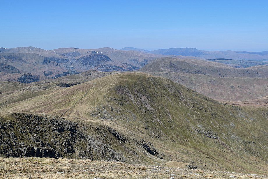 |
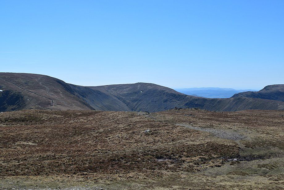
| Rest Dodd across the head of the Ramps Gill valley. White Side, Raise, Stybarrow Dodd, Great Dodd on the left horizon. The northern fells of Skiddaw and Blencathra are prominent on the centre horizon |
 |
| Looking down to the valley of Ramps Gill |
 |
| High Raise across the crags of Rampsgill Head |
