 |
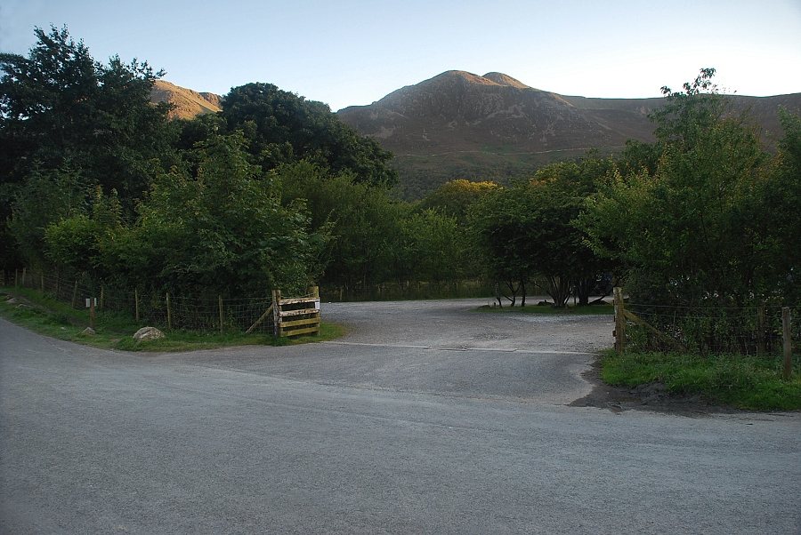
| The National Trust car park opposite Crag Houses in the village of Buttermere is the starting point for this walk. It's not usually as empty as this, the photo was taken at the end of an evening walk |
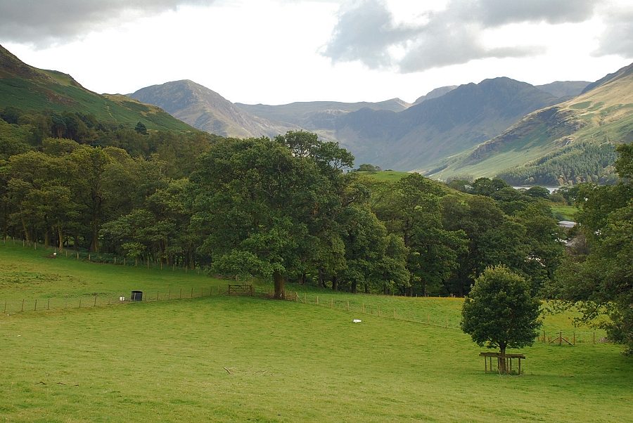 |
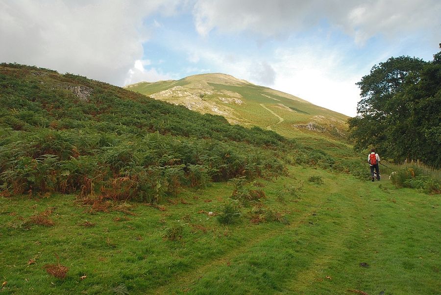
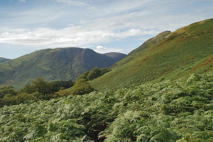
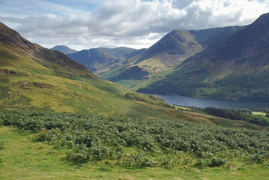
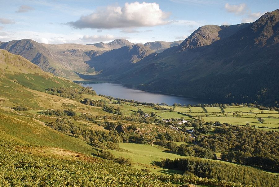
| A signpost by the roadside directs walkers to a handgate behind Crag House cottages and onto a footpath above Mill Beck where the view opens up towards Fleetwith Pike and Haystacks at the head of the valley |
 |
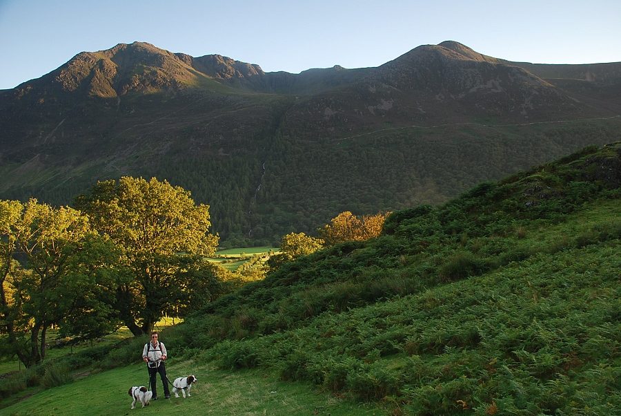
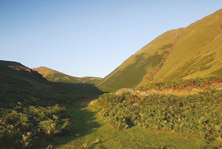
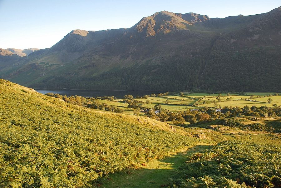
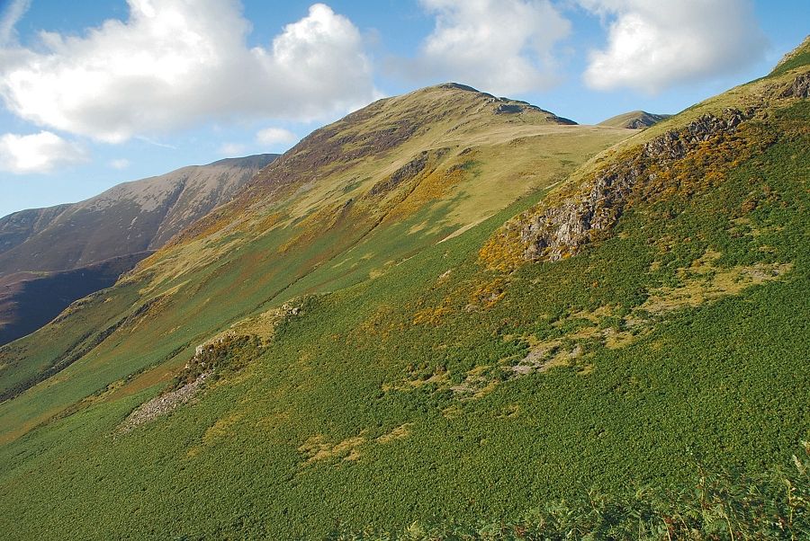
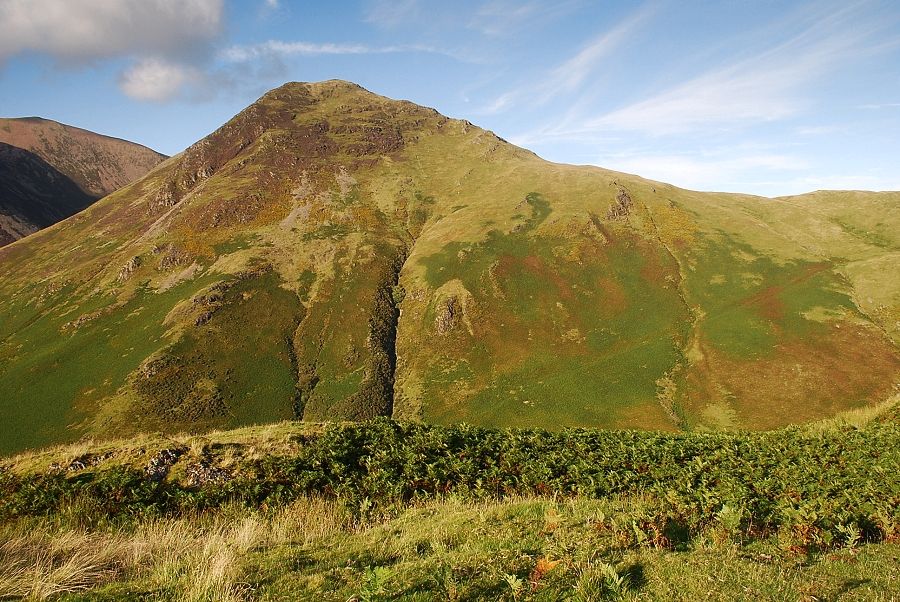
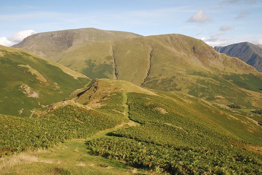
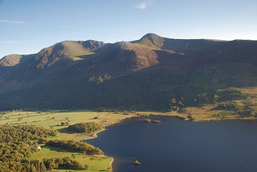
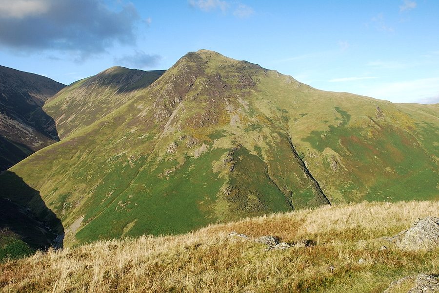
| High Crag and High Stile above Buttermere |
 |
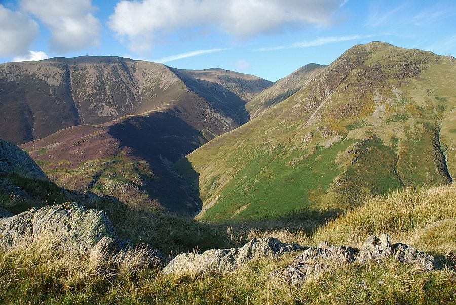
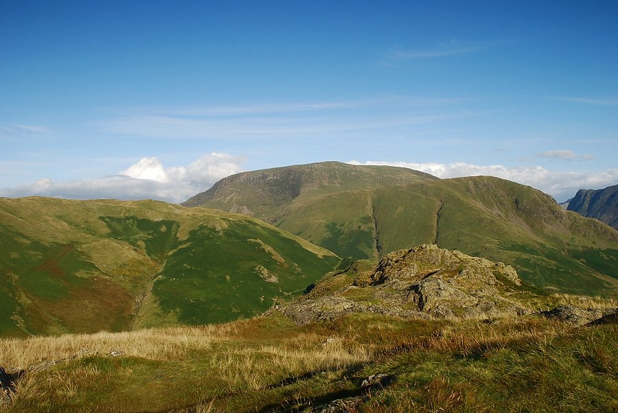
| Looking back to High Stile and Red Pike |
 |
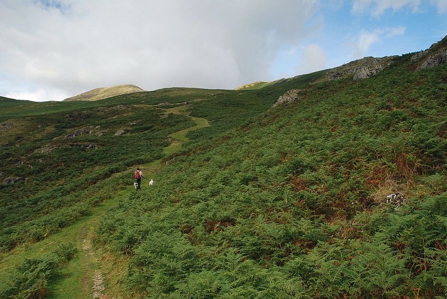
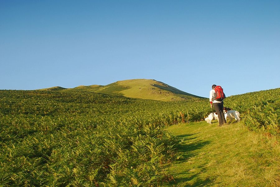
| The path leads on to Sail Pass and over into the Newlands Valley, but we only follow it for a third of a mile before bearing off left onto a path which rises above Grassgarth Coppice and climbs up to a col at the end of Low Bank |
 |
| Knott Rigg and Newlands Hause come into view as we turn off the Sail Pass path |
 |
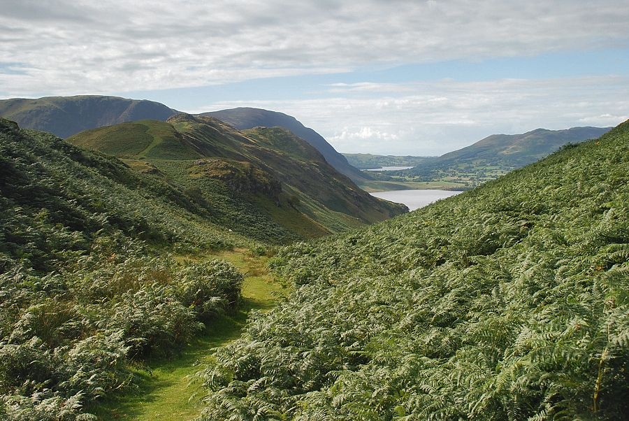
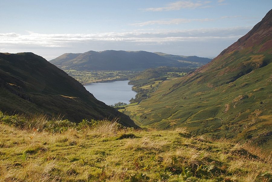
| Crummock Water and Mellbreak from the path above Grassgarth Coppice |
 |
| On the path up to Low Bank |
 |
| Looking left to Mellbreak and Rannerdale Knotts |
 |
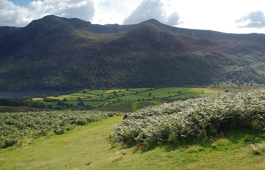
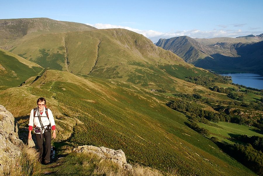
| Looking back to High Crag and High Stile above Buttermere |
 |
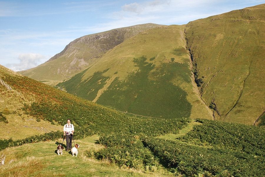
| Approaching the col at the end of Low Bank, the steep ridge of Whiteless Breast rising above it |
 |
| Looking back to High Stile and Red Pike from the col |
 |
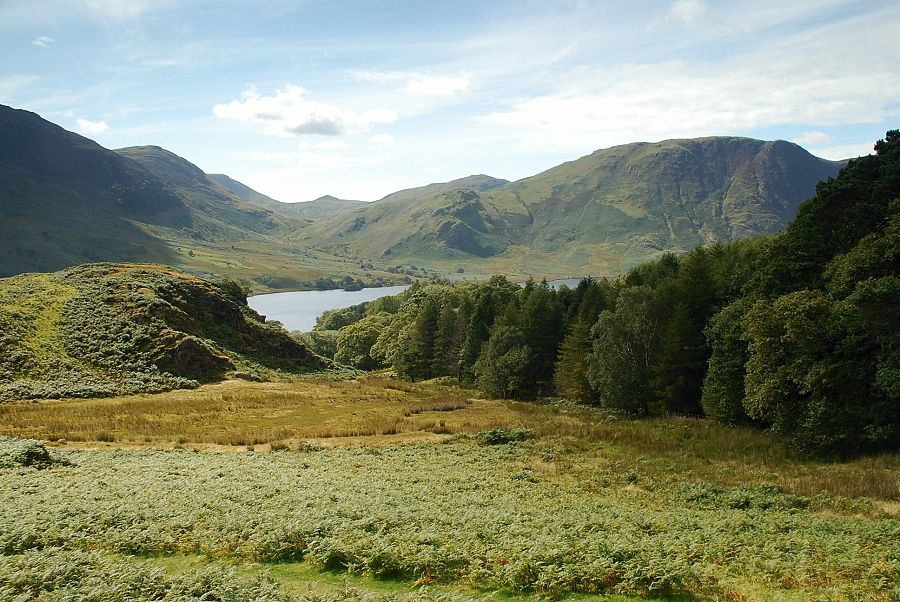
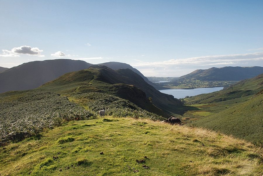
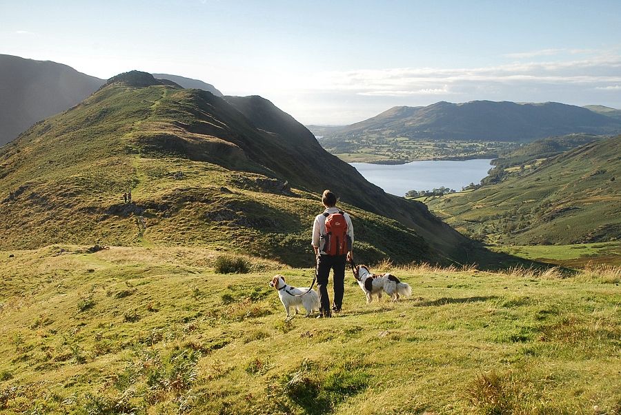
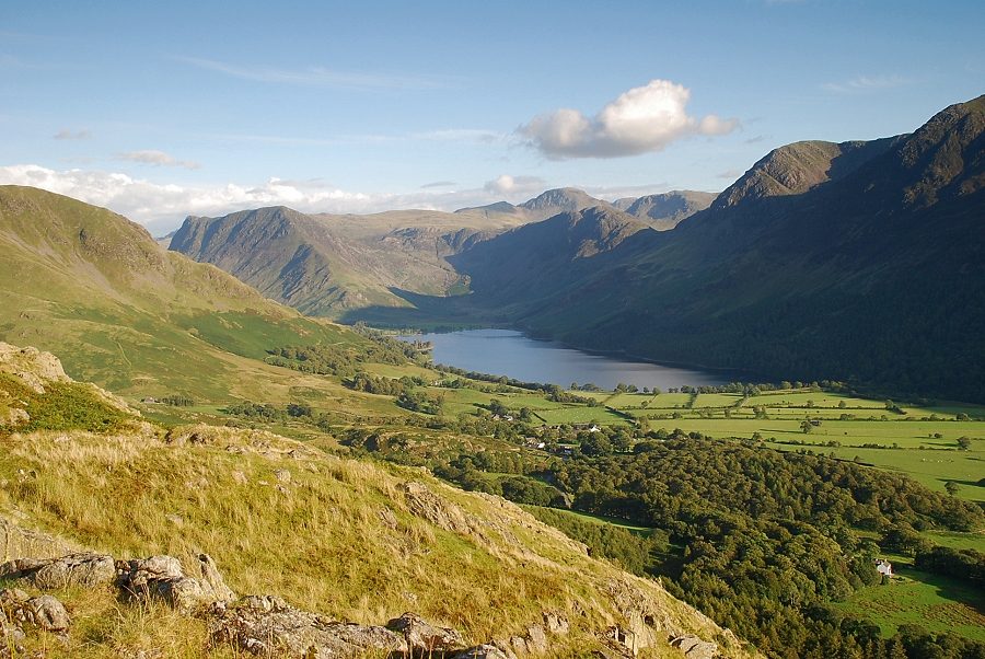
| Buttermere and High Crag from the col with Haystacks backed by Great Gable and Kirk Fell on the left |
 |
| Crummock Water and Loweswater from the col with Low Fell on the right |
 |
| Looking back from the start of the path along Low Bank, Robinson Crags towers over the top of Newlands Hause on the left |
 |
| Rannerdale Knotts from the start of the path along Low Bank |
 |
| Grasmoor and Whiteless Pike from Low Bank |
 |
| Rannerdale on the right backed by Crummock Water and Low Fell |
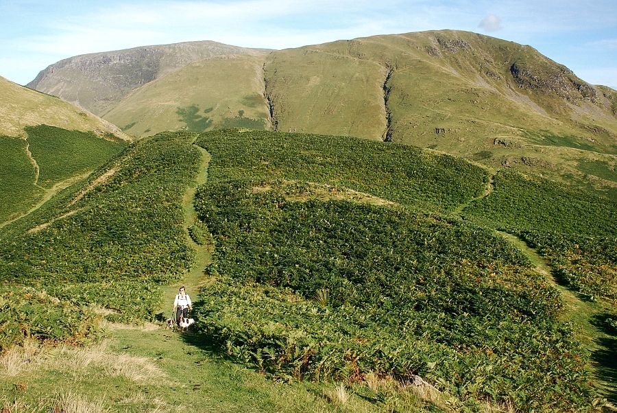 |
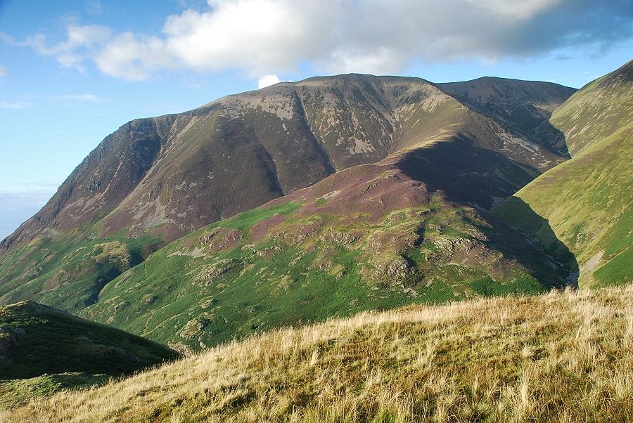
| Looking back to Robinson and High Snockrigg |
 |
| Grasmoor across the steep slopes of Whiteless Pike from the path along Low Bank |
 |
| Buttermere from Low Bank |
 |
| The wide green path along Low Bank on the approach to the rocky outcrops of Rannerdale Knotts |
 |
| Whiteless Pike from Low Bank |
 |
| Rannerdale, Crummock Water and Low Fell from Low Bank |
 |
| Looking back along Low Bank to Robinson and High Snockrigg with Fleetwith Pike on the right |
 |
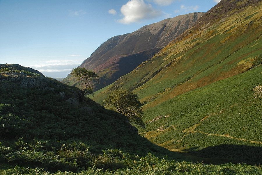
| The upper valley of Rannerdale Beck flanked by the Lad Hows ridge on the left, Thirdgill Head Man and Whiteless Pike on the right |
 |
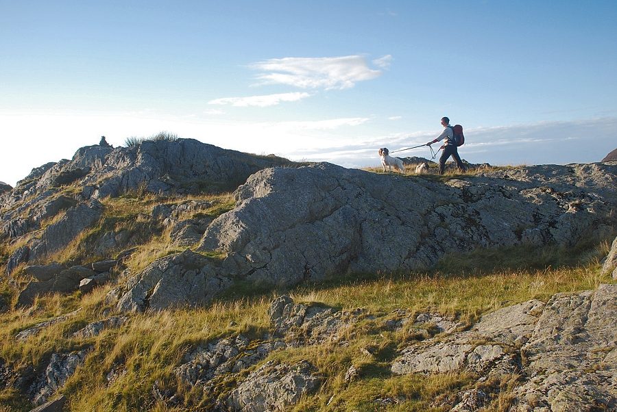
| On the approach to Rannerdale Knotts the path runs along the southern flank of the ridge to avoid the rock outcrops |
 |
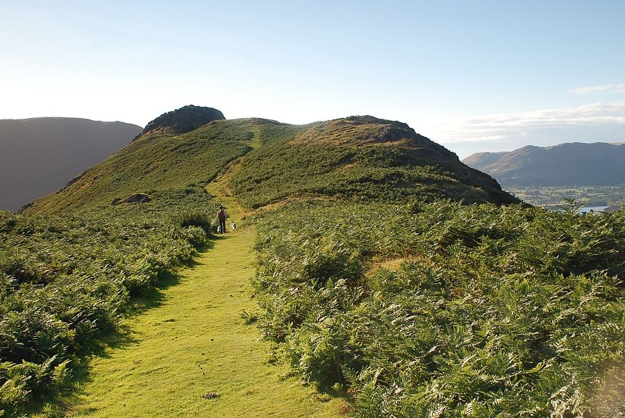
| The summit of Rannerdale Knotts comes into view |
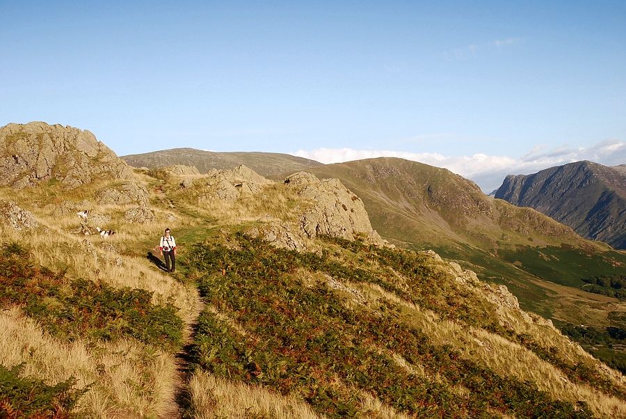 |
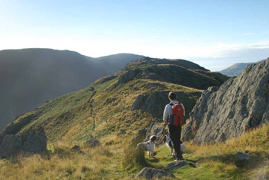
| Traversing around the rock outcrops on the ridge |
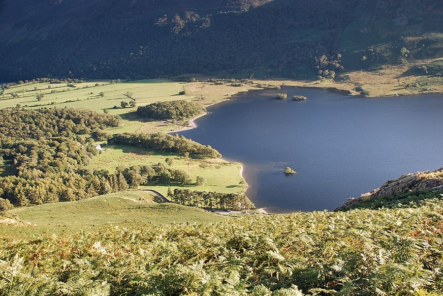 |
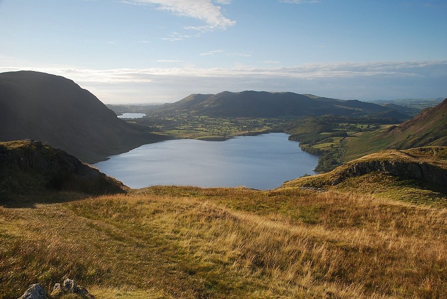
| Looking down to the head of Crummock Water |
 |
| Looking back on the final approach to the summit |
 |
| The summit of Rannerdale Knotts |
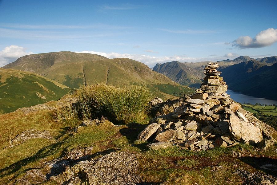 |
| The summit cairn on Rannerdale Knotts |
 |
| High Crag, High Stile and Red Pike from the summit of Rannerdale Knotts |
 |
| Low Fell over Crummock Water with Mellbreak and Loweswater on the left |
 |
| Grasmoor from the summit of Rannerdale Knotts |
 |
| Thirdgill Head Man and Whiteless Pike from the summit of Rannerdale Knotts |
 |
| Robinson from the summit of Rannerdale Knotts |
 |
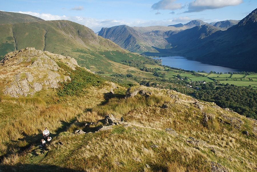
| Buttermere from the summit of Rannerdale Knotts |
