
| Raven Crag - Route One |
| Start - Smaithwaite Bridge NY 315 194 | Distance - 1.7 miles | Ascent - 1,170 feet | Time - 1 hour : 15 minutes |
 |
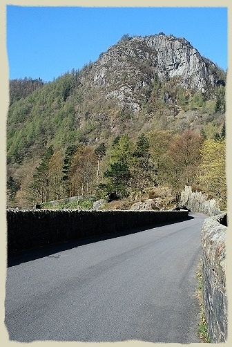
| Walking alongside Greathow Wood on the road towards the Thirlmere dam |
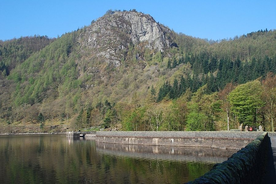 |
| Raven Crag from the causeway road over the dam. The route goes through the woods on the right to the col and climbs the slope behind the face of the crag |
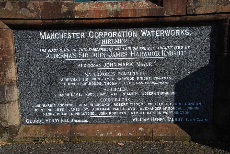 |
| The commemorative plaque which is sited on the outer wall at the centre of the dam. Another, smaller plaque, has been placed to the left of it by United Utilities to mark the centenary of the Thirlmere Scheme. On the 13th of October 1894 the city of |
 |
| Of course there is now no-one left alive who remembers how the valley used to be. However, old photos and paintings show a beautiful hour-glass shaped lake. The upper part of the old lake was known as Wythburn Water and the stretch at this end of the valley, Leathes Water. A wooden bridge supported on slender stone piers, reputed to be of celtic origin, spanned the narrow neck of water between them. The great house at Armboth and the hamlet of Wythburn were demolished before the rising water covered them. Virtually all that remains of the former community is the little church at the south east end of the reservoir. Manchester Corporation Waterworks planted fast growing conifers around the new reservoir stabilizing the soil to prevent erosion. Walls and fences were built around its shore and for ninety years public access was forbidden |
 |
| Raven Crag from the mid point of the dam. The castellations on the walls shown in AW's sketch have been filled in and the drain has disappeared, probably as a result of resurfacing work, the road drainage now being effected by drillings in the base of the outer parapet wall Raven Crag - page 1 |
 |
| In 1983, following improvements in water treatment plants, the public were at last allowed access to the reservoir. The new owners, North West Water, and their successors United Utilities, have built paths and forest trails. Angling, canoes and sailing dinghies are allowed and large areas of the shore line have been cleared of trees to open up the views |
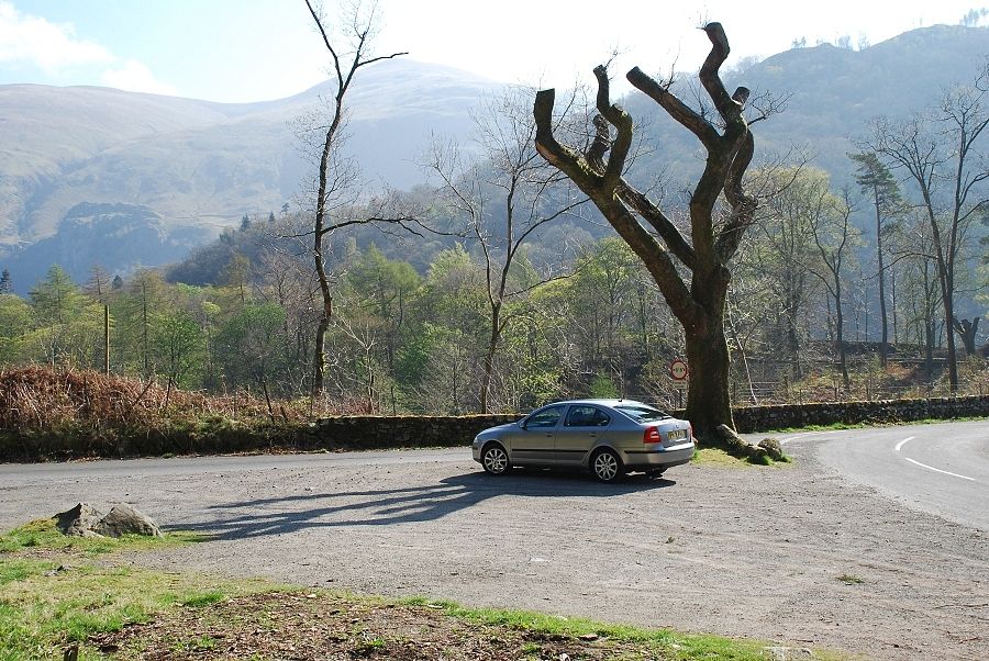 |
| The usual starting point for this walk is this small parking area on the west side of the dam. There is also a layby a little to the north which is directly opposite the start of the path |
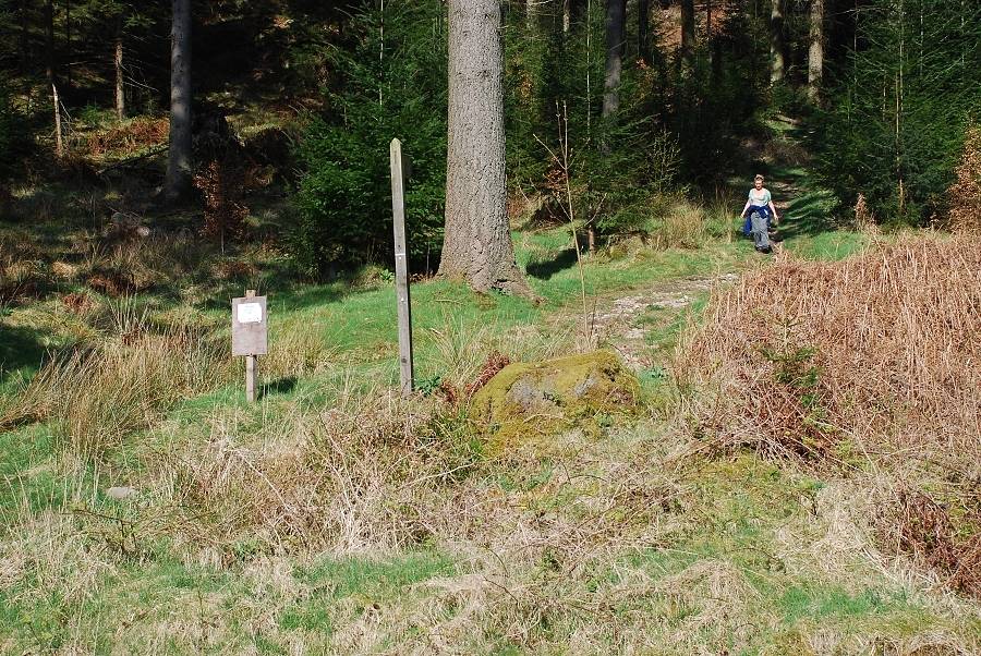 |
| The start of the path to Raven Crag. The small notice board to the left of the signpost asks rock climbers and scramblers to respect a voluntary ban on climbing the crag during the nesting season but this does not affect users of this route |
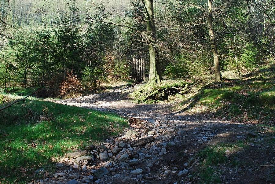 |
| The path rises to meet a forest road where a gate in a deer fence on the opposite side gives access to a narrow path through some younger trees. It is better to use this on the return, continue left with the road it has more open views as it loops around the younger plantation |
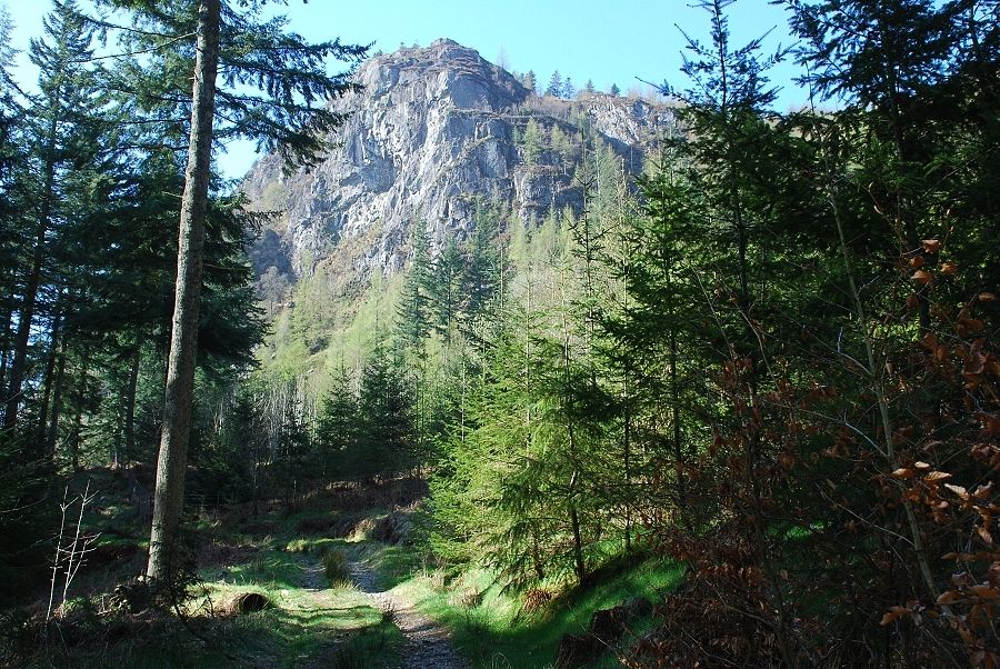 |
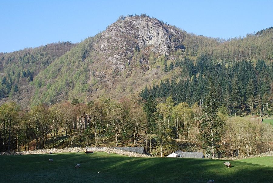
| Raven Crag from the forest road. The road turns sharply right higher up and heads away from the crag |
 |
| Looking back to Raven Crag from higher up the road |
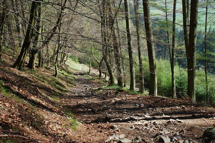 |
| Opposite the top gate of the young plantation a path rises steeply from the road through more mature trees. The photo above looks back down the path to the forest road |
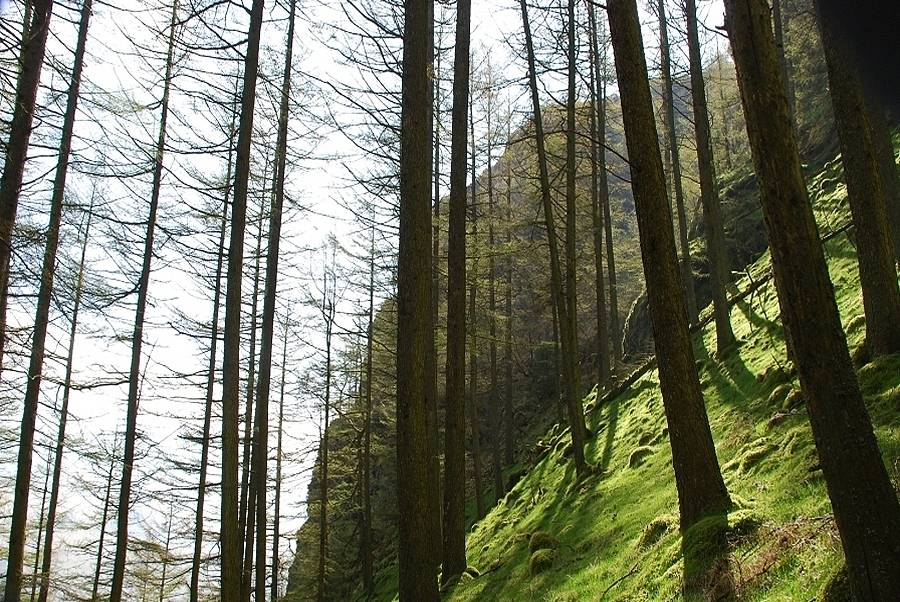 |
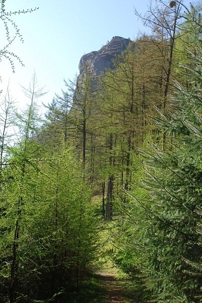
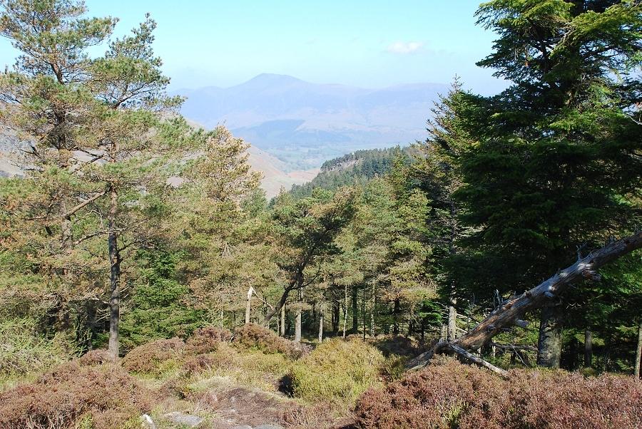
| Looking over to Raven Crag from the path. This section of the path is quite steep but it soon eases as it approaches the col |
 |
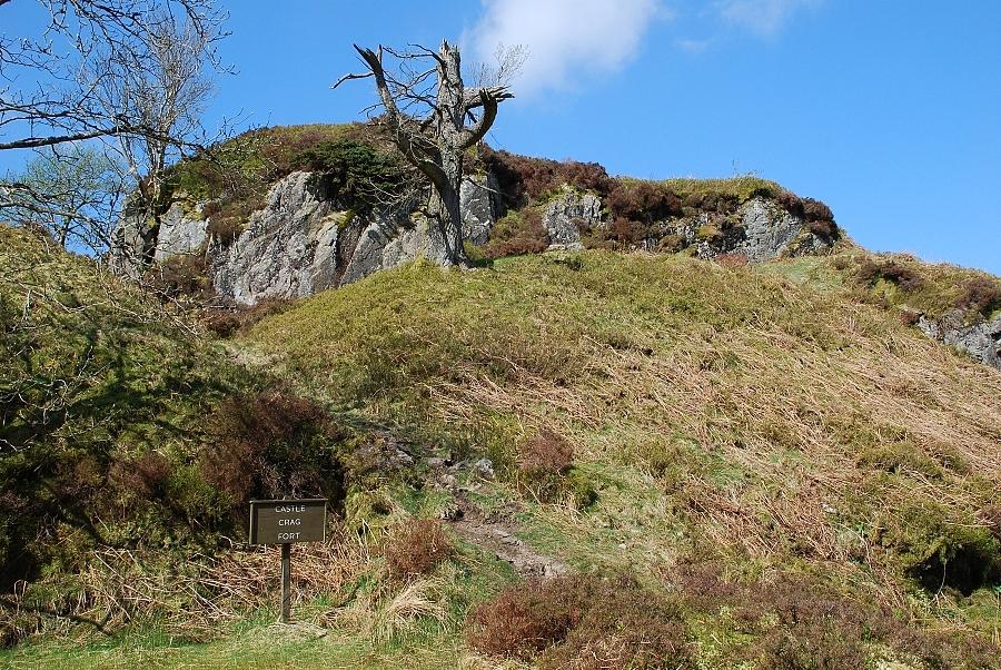
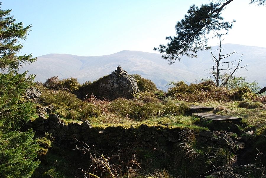
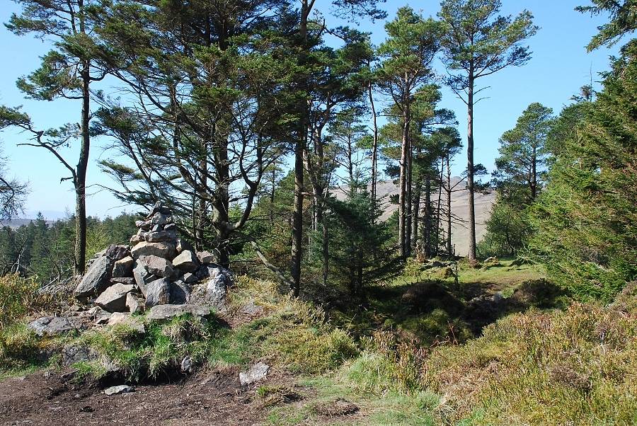
| The path eventually reaches the ridge, and another forest road, at the col beween Raven Crag and The Benn. United Utilties have provided a sign and constructed a path to Raven Crag through the trees, although someone has rather unkindly crossed out the word 'permissive'. The finger post sign to the left points the way towards Castle Crag Fort, an ancient monument which is a right of way. Despite having done many walks in this area, I have never visited it ... time to put that right! |
 |
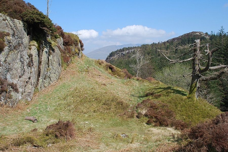
| I was surprised how near the fort was to the col. A sign informs you of your arrival; I must admit that it just looks like an ordinary rock outcrop. AW remarked that ' the average visitor will be sadly disappointed with it ' . There are earth ramparts around the fort that may be of interest to enthusiasts. The fort is situated high above, and dominates, the narrow |
 |
| A path on its east side leads easily to the top of the fort. Benn Man is the summit on the right with Blencathra on the horizon |
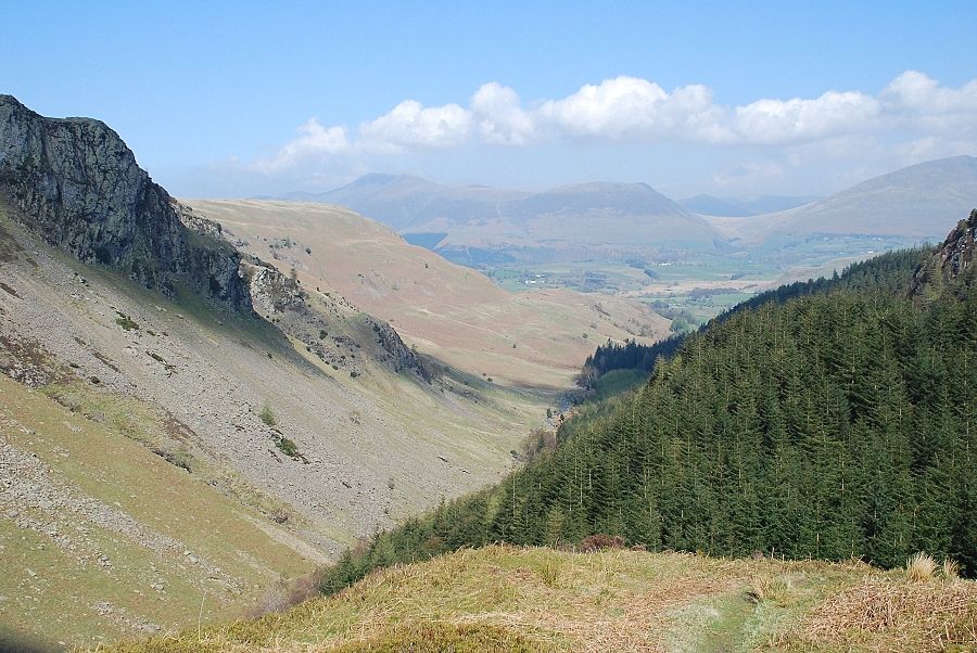 |
| Looking north from the top of the fort along Shoulthwaite Gill to Skiddaw, Lonscale Fell, Great Calva and Blease Fell |
 |
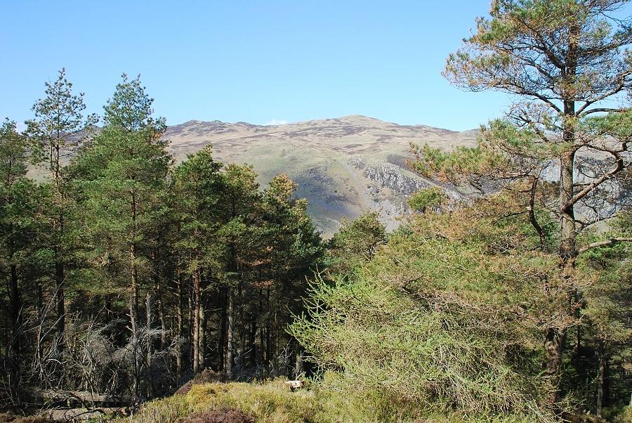
| Returning to the col and the path to Raven Crag which passes through a section of dense forest to a more open slope. Looking back from the path towards Skiddaw |
 |
| Looking back to Bleaberry Fell on the other side of Shoulthwaite Gill as the path emerges from the trees |
 |
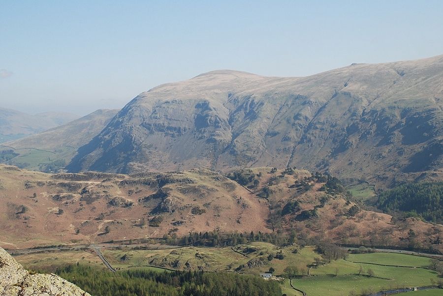
| The summit cairn with the Dodds ... Great, Watson's and Stybarrow. |
 |
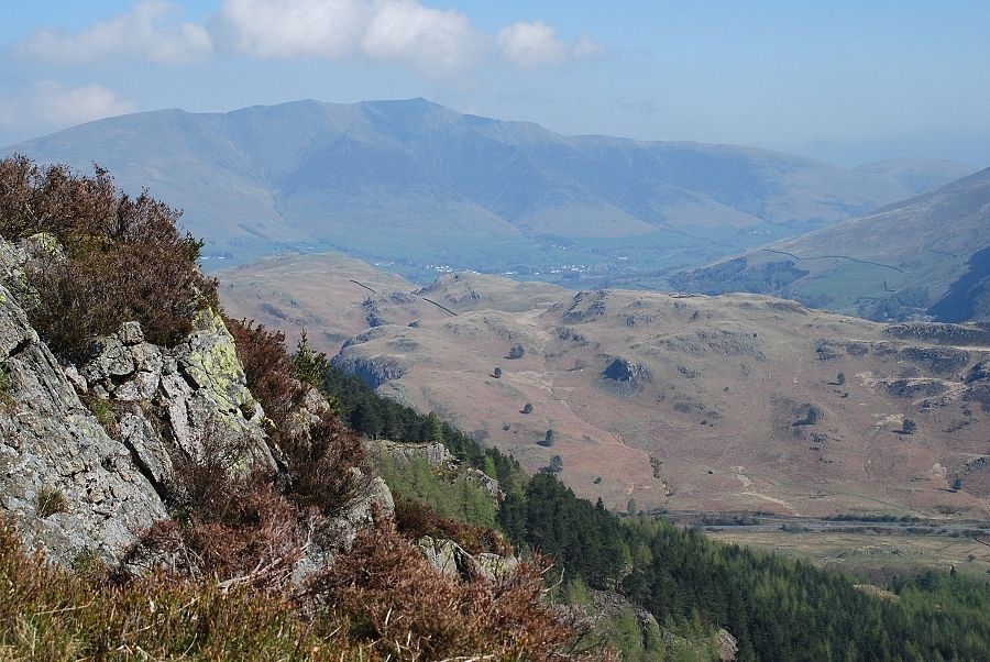
| Looking back the other way. The view is very restricted by the trees ... that looks like High Tove behind them but it it is difficult to be sure |
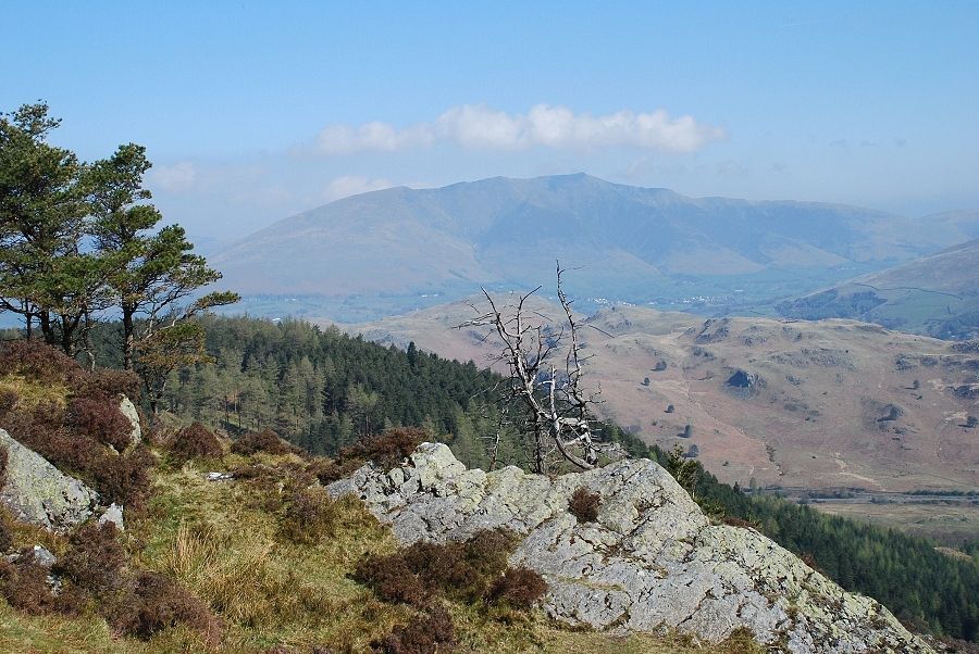 |
| Blencathra from the summit cairn, High Rigg in the middle distance |
 |
| Looking over Wren Crag and Long Band on High Rigg to Clough Head. The Raven Crag page photo was taken from the trees on Wren Crag |
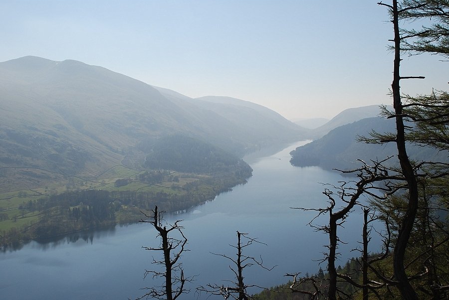 |
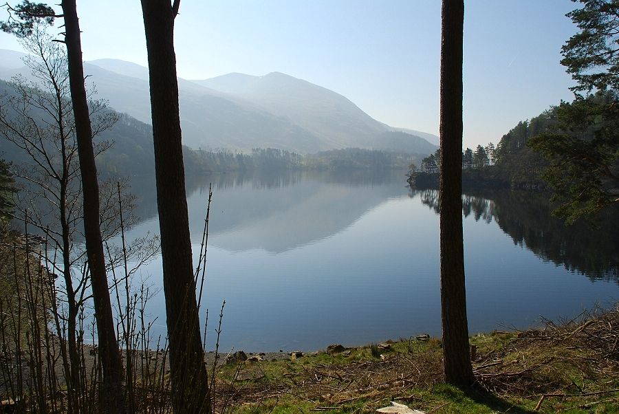
| Thirlmere from the summit |
 |
| With care, it is possible to descend the slope to the very edge of the crag. The views are much the same but are enhanced by the steep drop over the crag |
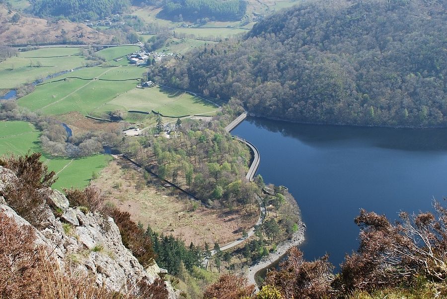 |
| Looking down to the Thirlmere dam from the edge of the crag. It is around 900ft below this point |
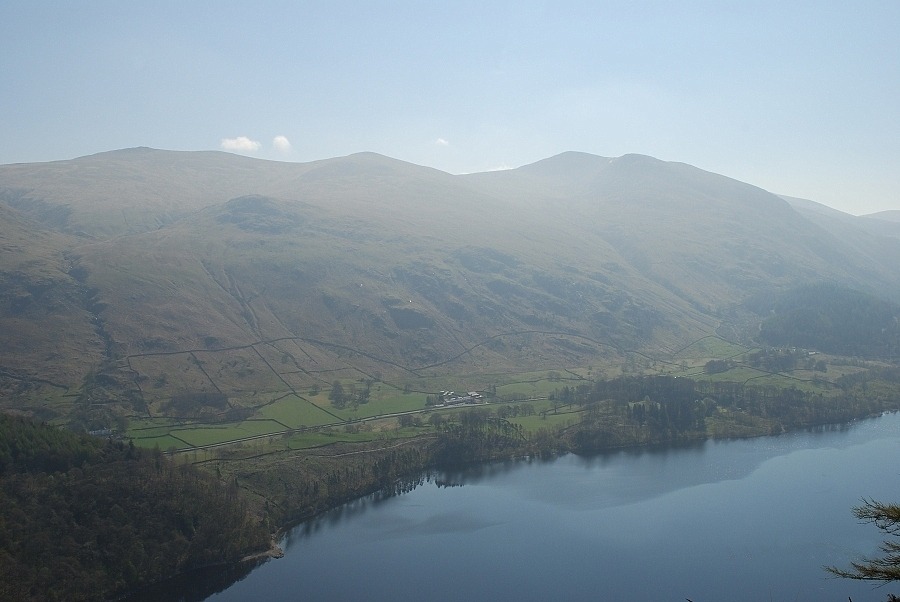 |
| Raise, White Side and Helvellyn across Thirlmere |
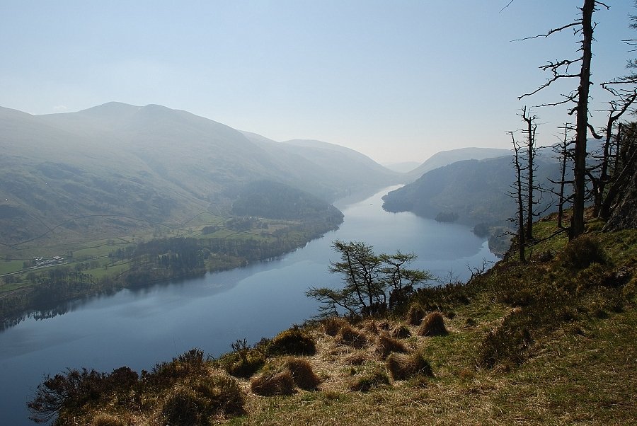 |
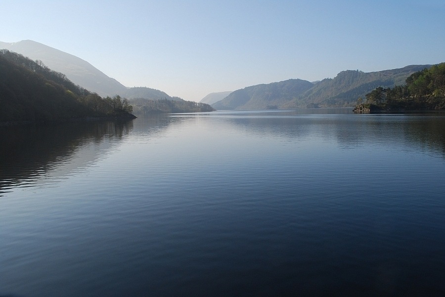
| And finally a last look along the length of Thirlmere from the edge of the crag |
|