 |
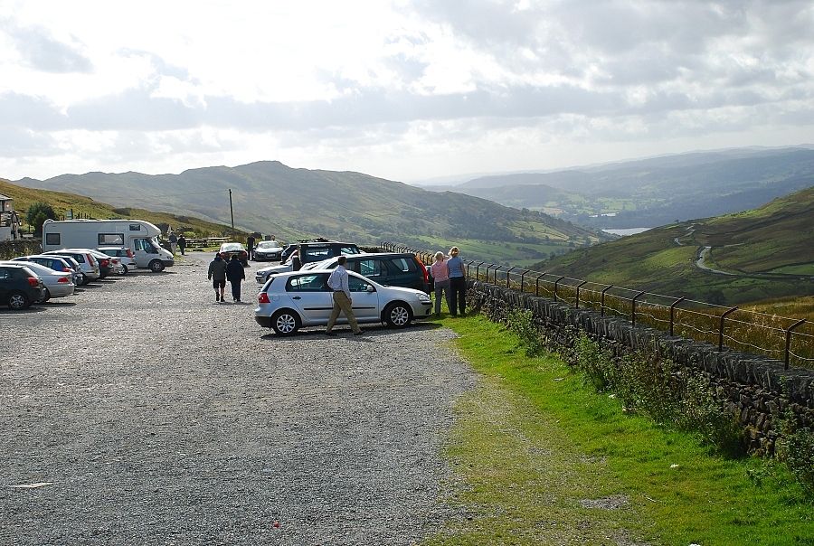
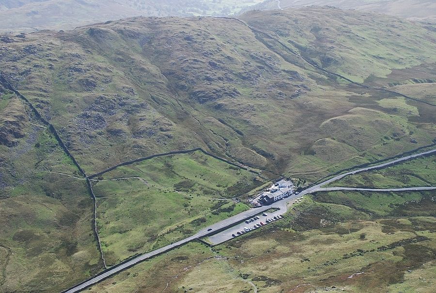
| The LDNP car park on the summit of the Kirkstone Pass is the starting point for this walk |
 |
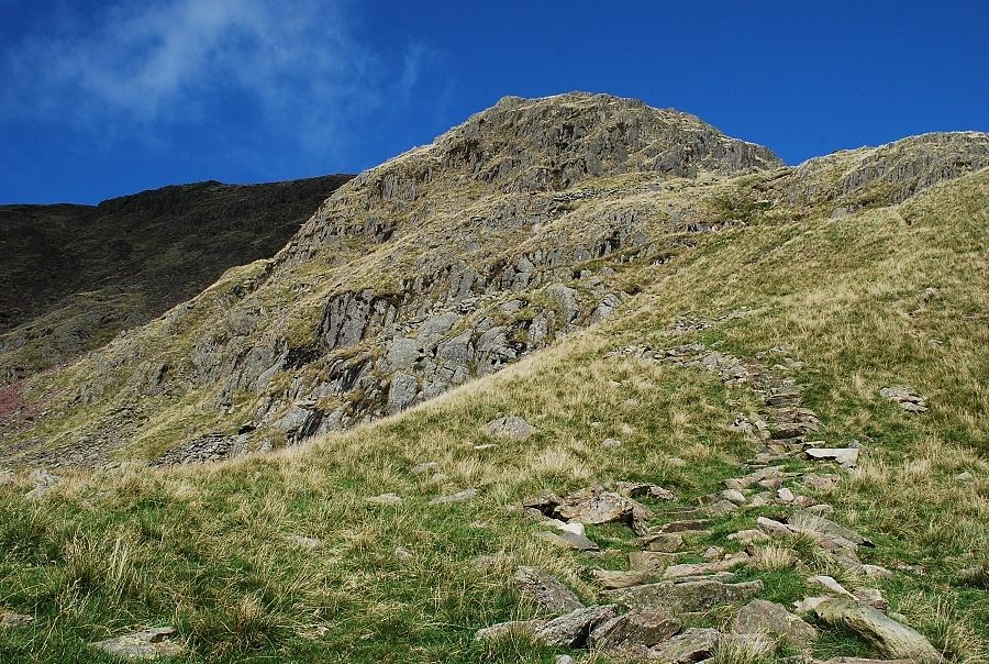
| Red Screes from the gate at the north end of the car park. The route appears quite daunting from here but actually there is little difficulty in the ascent other than its steepness. It generally follows the short south east ridge seen here rising in front of the dark face of Raven Crag |
 |
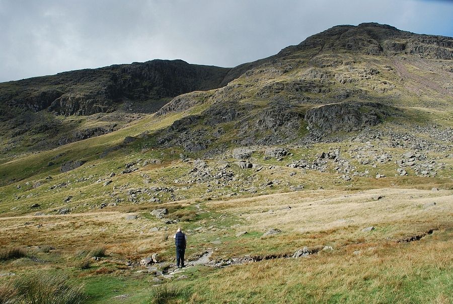
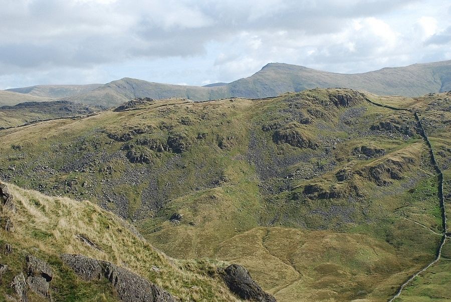
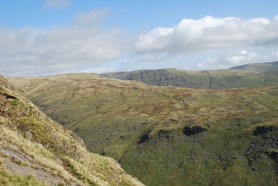
| Looking across to the steep slopes of Caudale Moor from the start of the climb |
 |
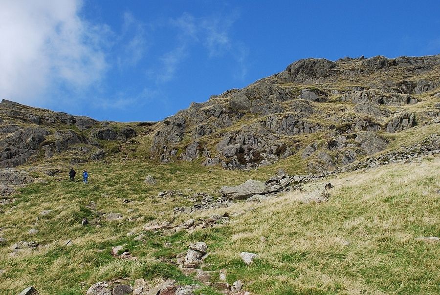
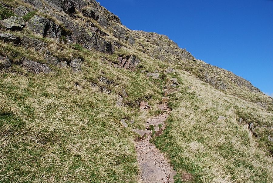
| Climbing towards the foot of the south east ridge. The lower part of the path has been stone pitched and is very easy to follow |
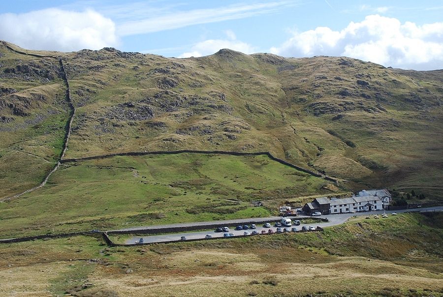 |
| Looking back to the car park from the lower slopes |
 |
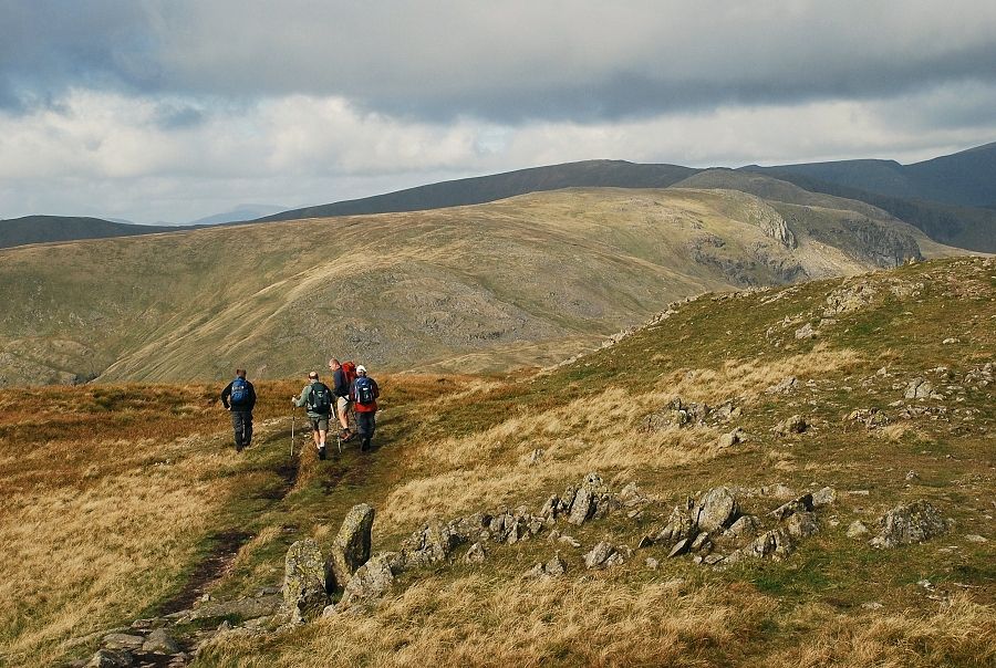
| Two walkers on the route about to join the south east ridge beneath the low point on the skyline |
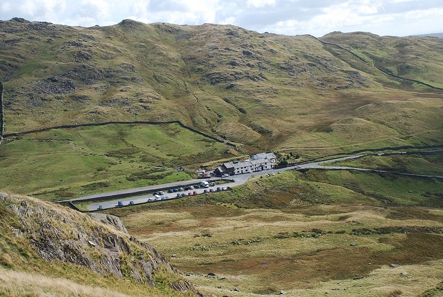 |
| The summit of the Kirkstone Pass from the foot of the south east ridge |
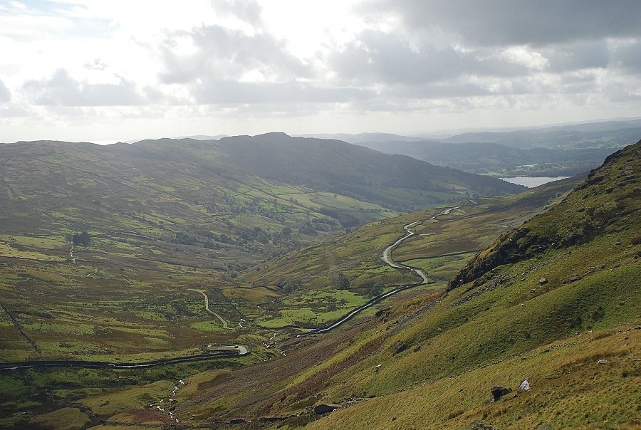 |
| From the same point looking south toward Wansfell Pike |
 |
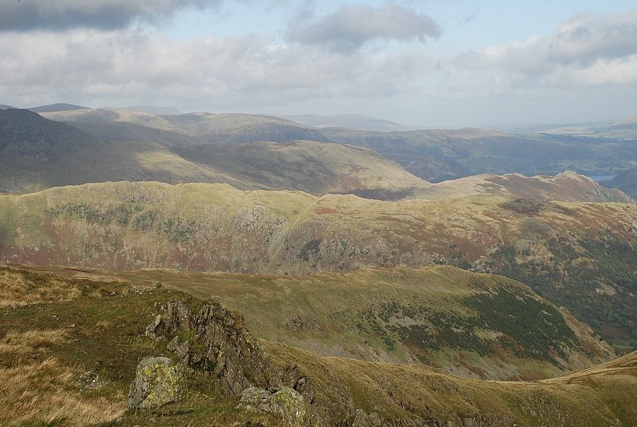
| Higher on the south east ridge Froswick and Ill Bell can be seen over St. Raven's Edge |
 |
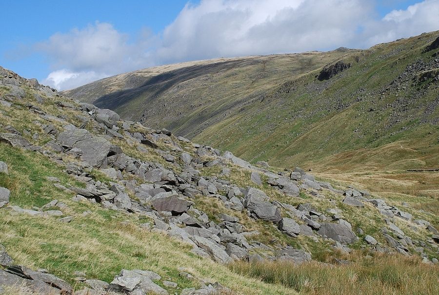
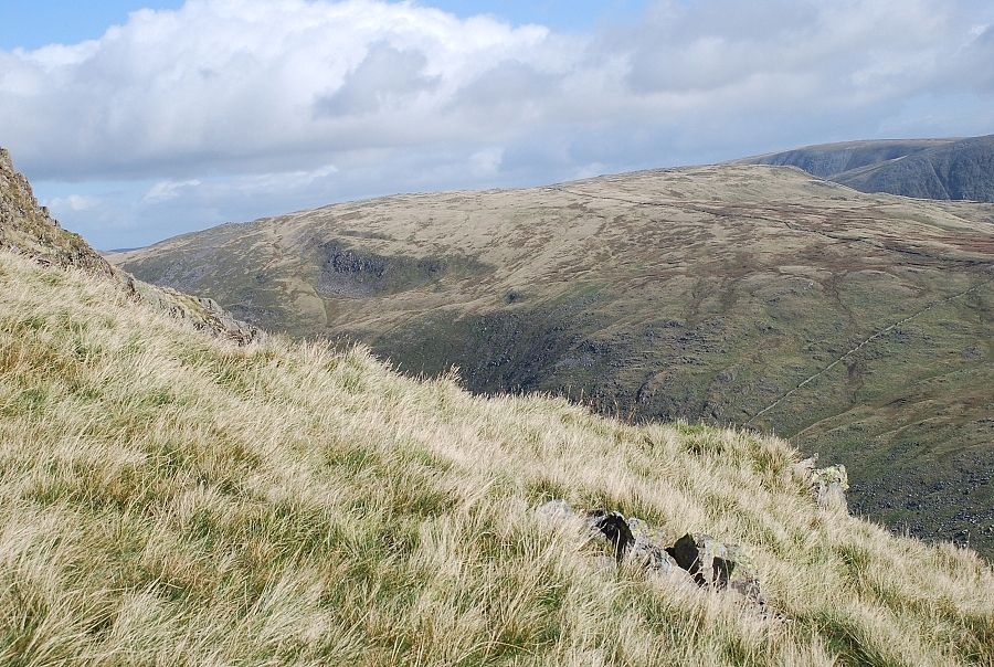
| Midway up, the ridge the path overlooks the south east combe |
 |
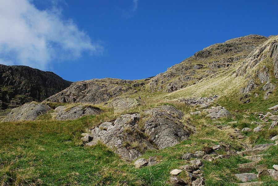
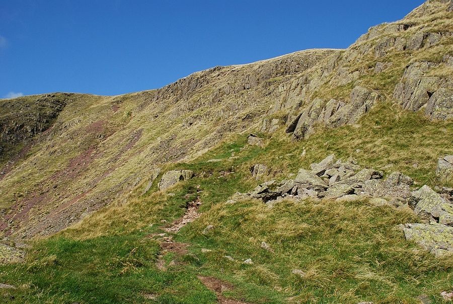
| Higher still the path is forced over to the right, slanting below a steep band of crags |
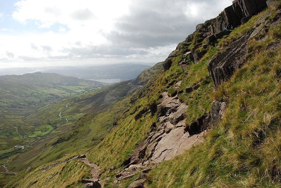 |
| Part way along the slanting path, another path branches off it making an acute turn back to climb below the steep rocks. This path has been made by walkers making the direct descent from the summit to the Kirkstone Pass. It looks a bit problematic but is actually very easy and offers a much better way to reach the summit. Spot the walker taking a break to enjoy the view! |
 |
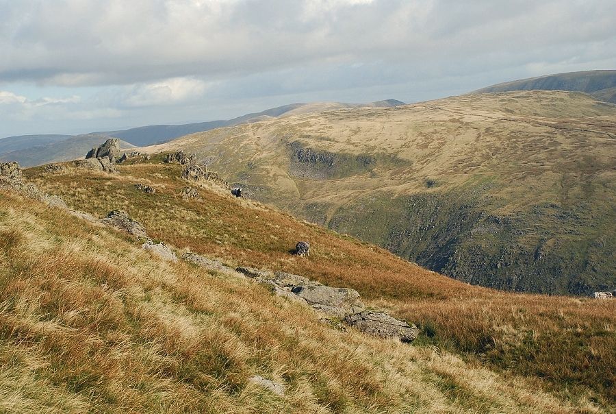
| Looking across to Caudale Moor and Thornthwaite Crag |
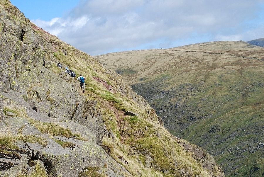 |
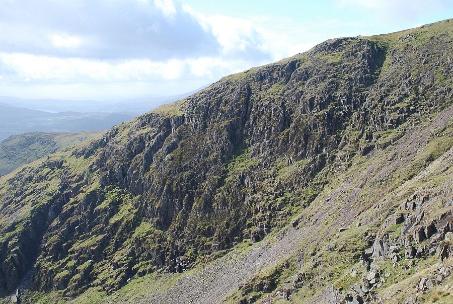
| Four walkers elect to stay with the slanting path. It's alright to continue with this path but it soon degenerates as it meets the first of the gullies that seam this face, the most well known of them being Kilnshaw Chimney |
 |
| Continuing on along the 'descent' path. It is much easier than the normal route if a little steeper in places |
 |
| Looking back to Ill Bell |
 |
| The steep section soon gives way to easier ground above the south east combe |
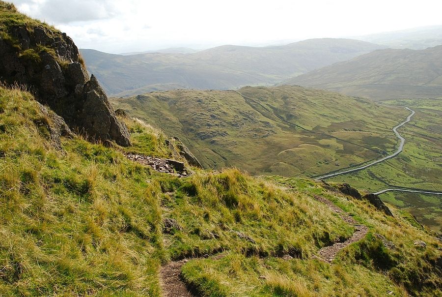 |
| Looking back as the path turns to outflank the uppermost tier of crags on the south east ridge |
 |
| Suddenly all difficulties are over as the open grassy slopes below the summit come into view. The small cairn at this point helps walkers to locate the line of this descent path in poor visibility |
 |
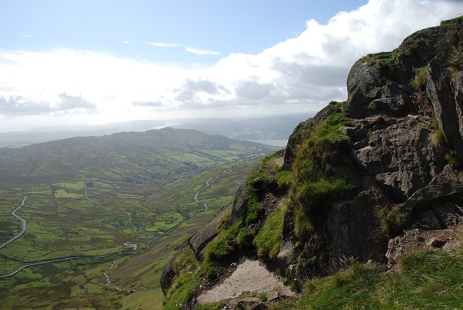
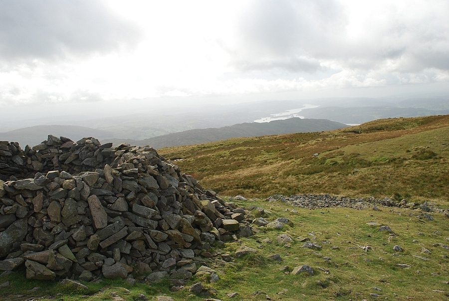
| Windermere from the marker cairn |
 |
| A last look down to the Kirkstone Pass before continuing on the summit |
 |
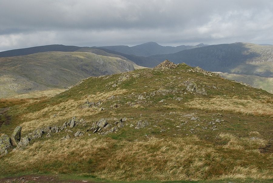
| Caudale Moor |
 |
| Raven Crag across the south east combe |
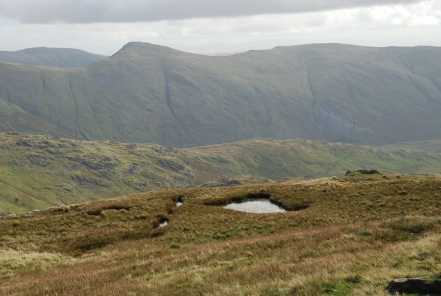 |
| A small pool is passed on the final climb to the summit. Looking back to Ill Bell and Yoke |
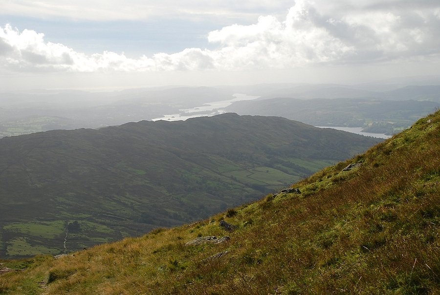 |
| The lower reaches of Windermere above Wansfell Pike |
 |
| The prominent rock on the left, known as The Horn, forms a striking feature on the skyline of Red Screes when seen from the road on the Patterdale side of the Kirkstone Pass |
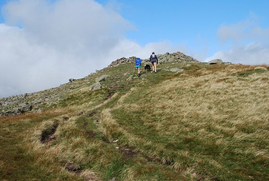 |
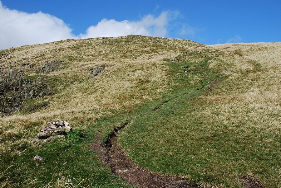
| Approaching the summit of Red Screes |
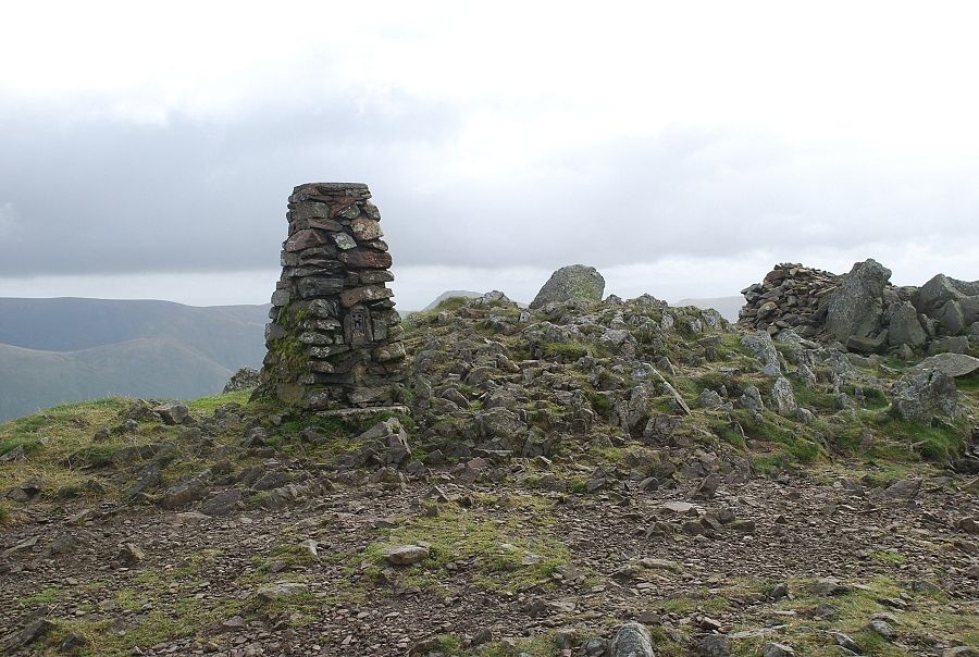 |
| The summit of Red Screes |
 |
| The view to the north from the summit of Red Screes |
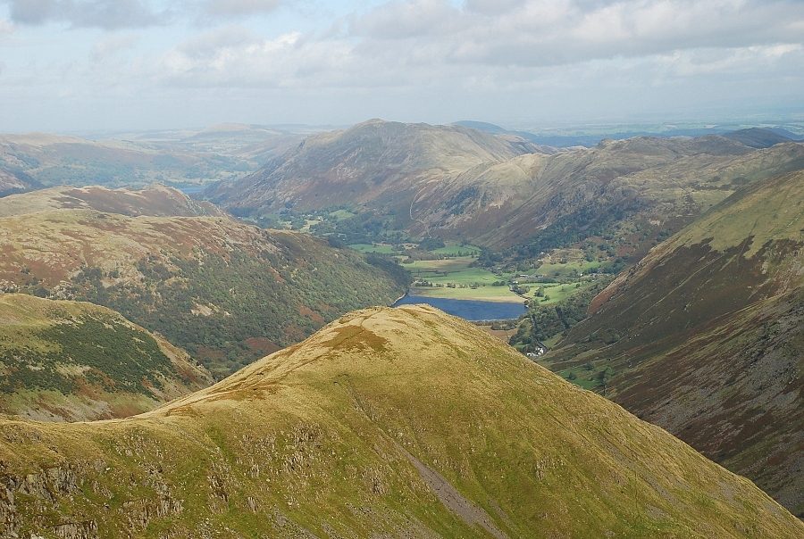 |
| Over Middle Dodd to Brothers Water and Place Fell |
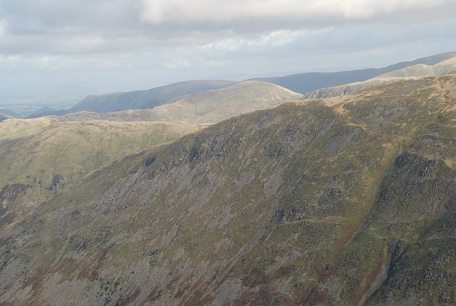 |
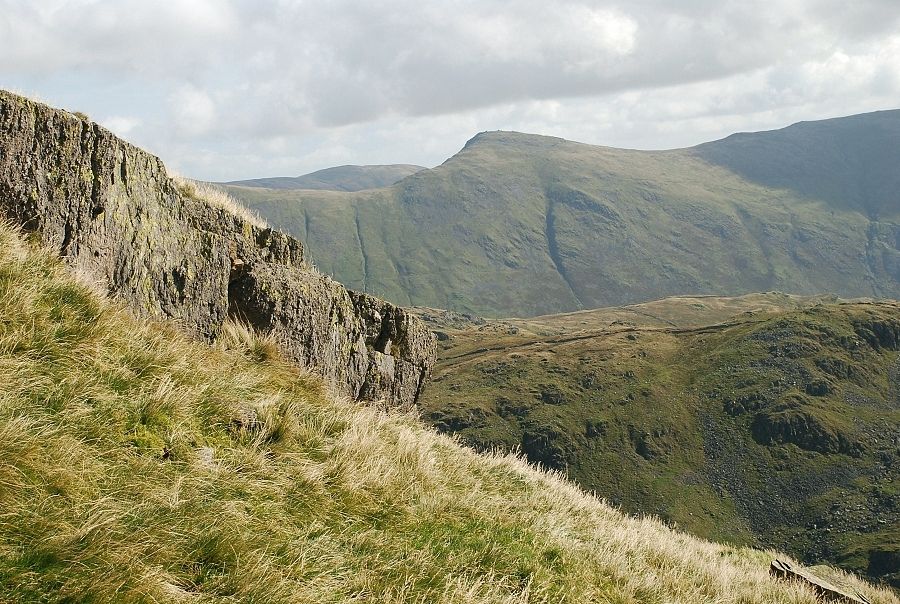
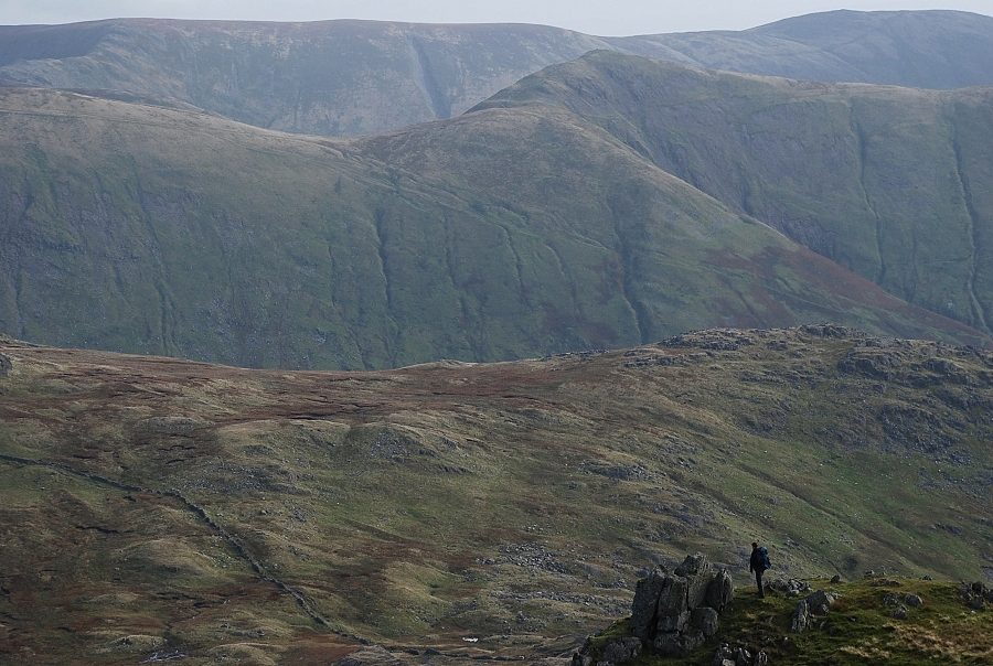
| Over Rough Edge on Caudale Moor to the far eastern fells |
 |
| Over St. Raven's Edge to Ill Bell with Harter Fell and Kentmere Pike on the skyline. The walker is standing next to The Horn |
 |
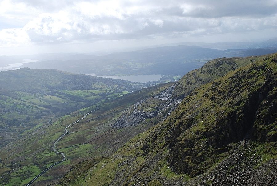
| South to Windermere |
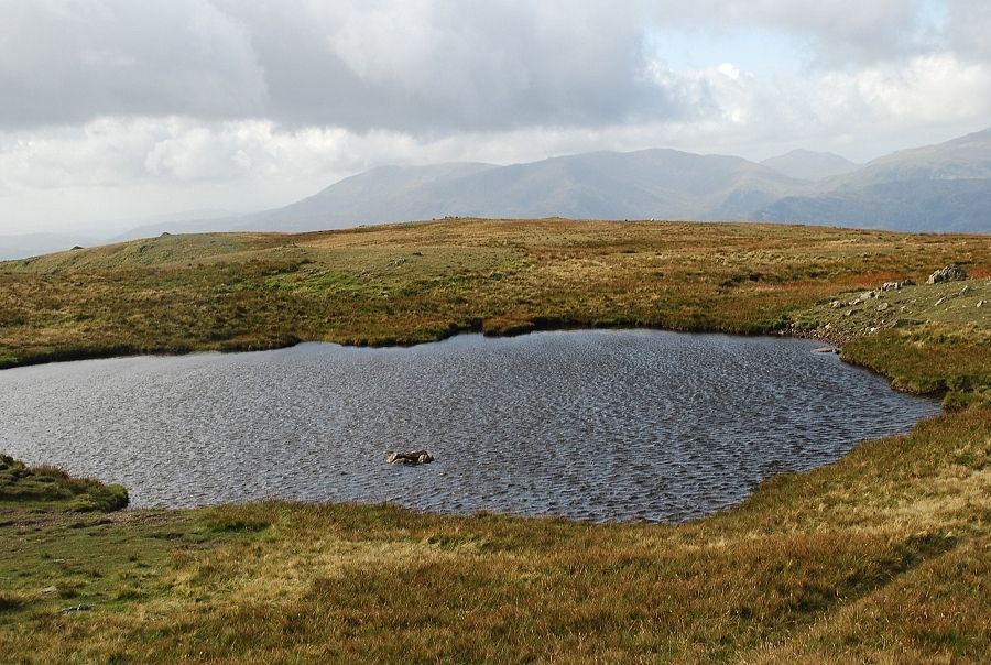 |
| Looking over the summit tarn to the Coniston fells |
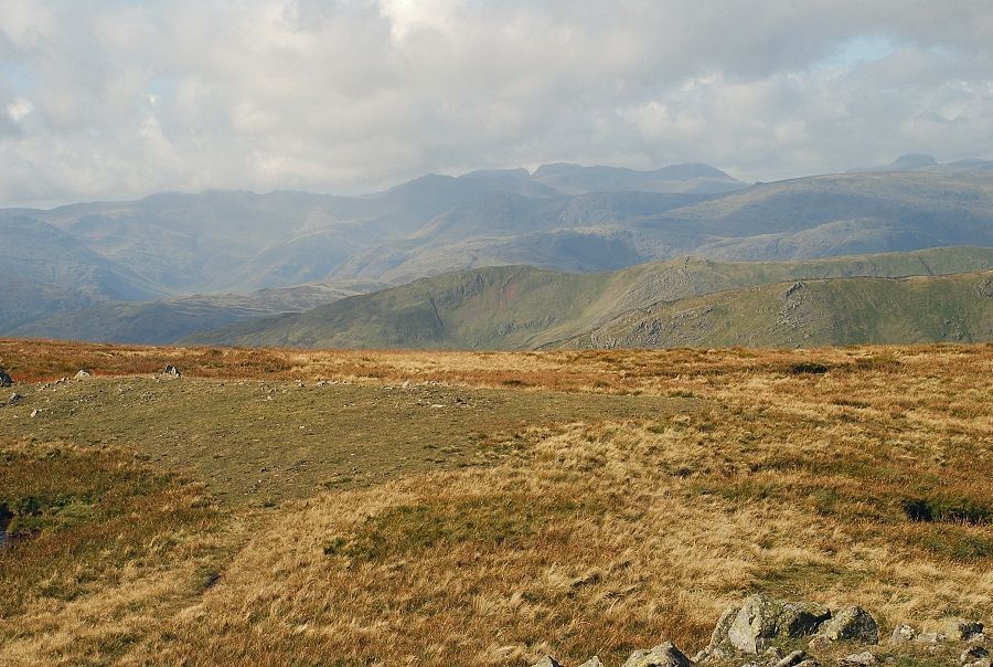 |
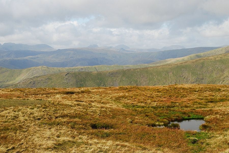
| West to the Scafells on the horizon |
 |
| Great Gable, Pillar and High Stile form the central distant skyline |
 |
| A group of walkers (from the NE of England) enjoying a circular walk around Scandale from Ambleside |
 |
| Looking north west to Helvellyn |
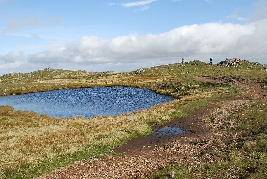 |
| The summit tarn on Red Screes |
