 |
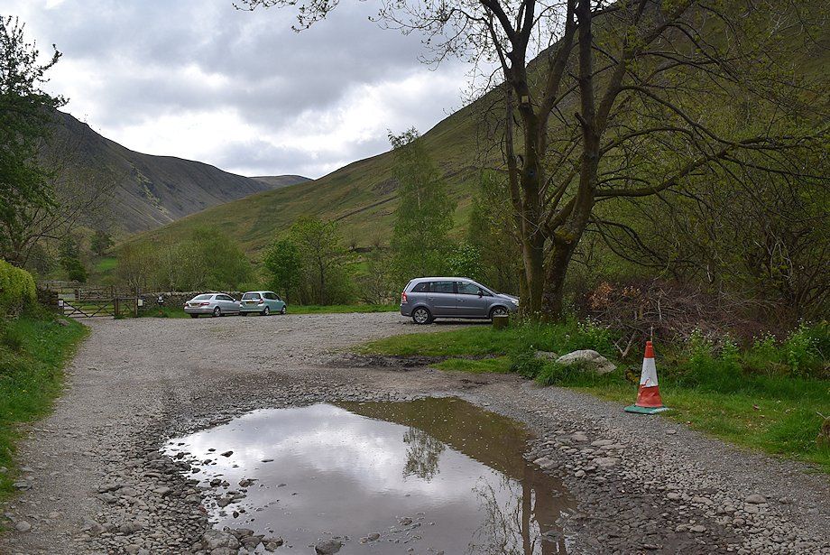
| Hartsop car park is the starting point for this walk |
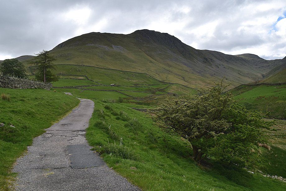 |
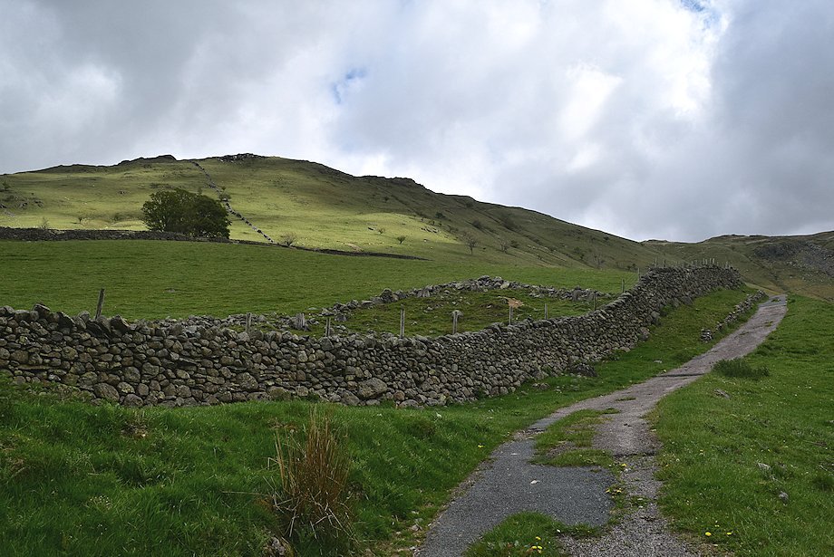
| Gray Crag from the Hayeswater access road |
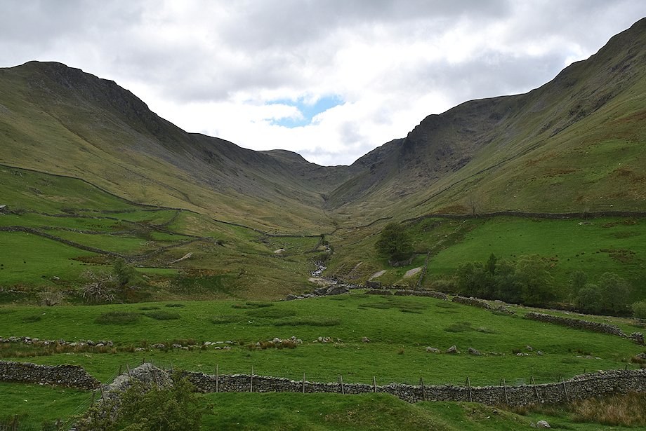 |
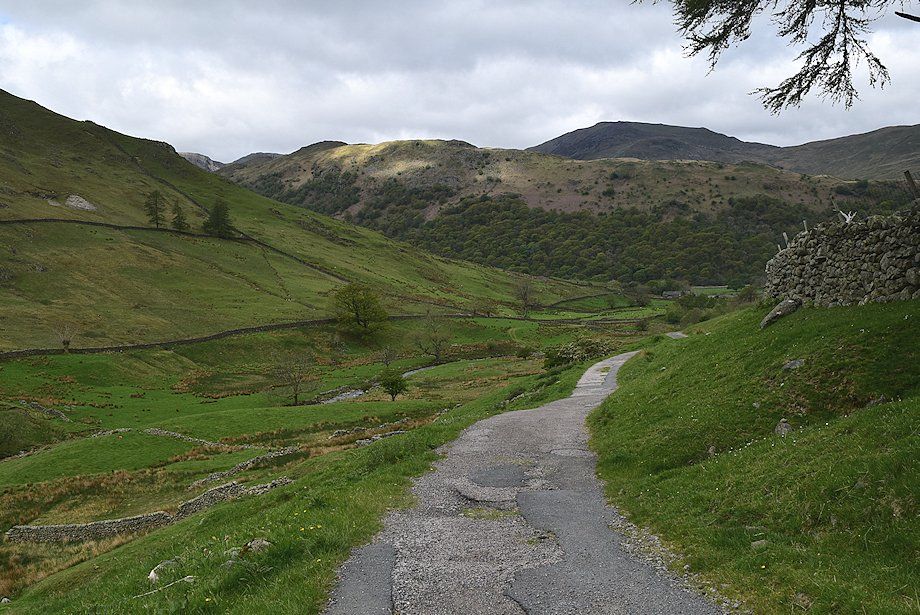
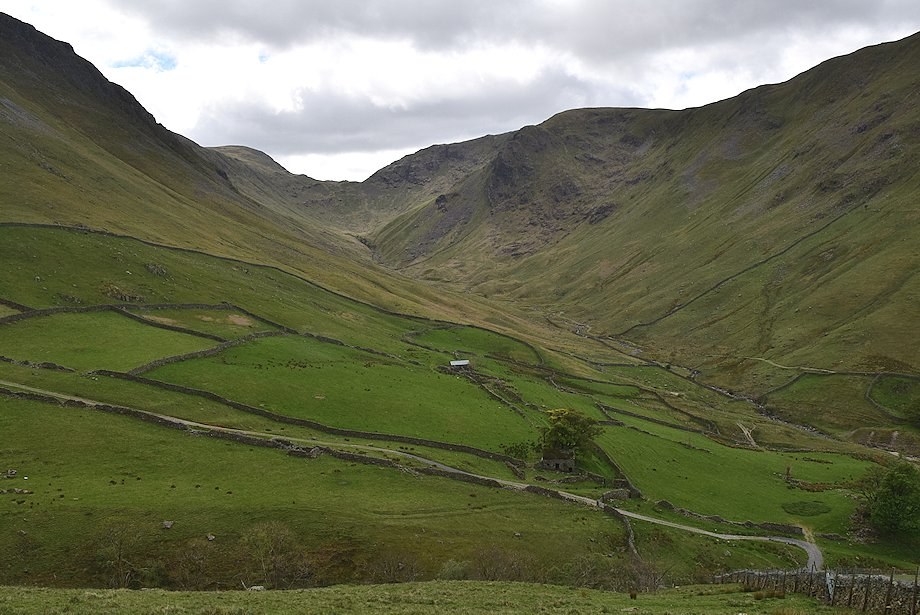
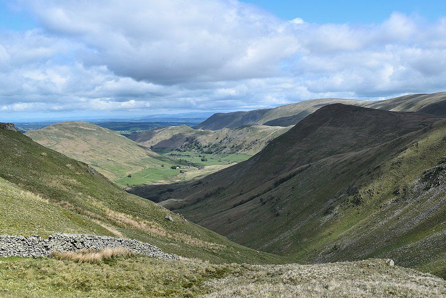
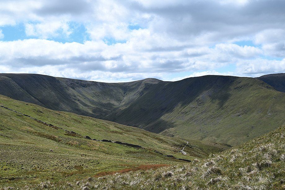
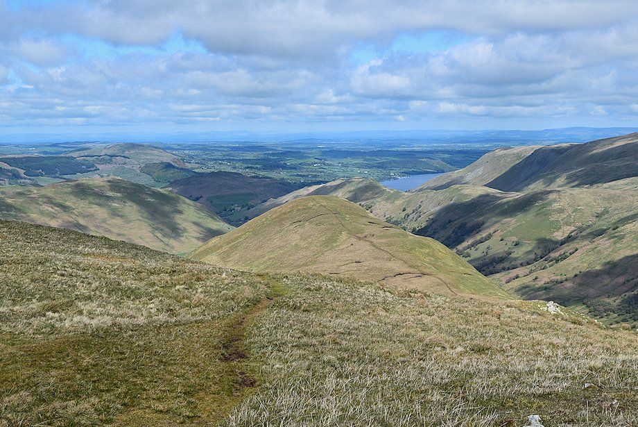
| The valley of Pasture Beck from the Hayeswater access road |
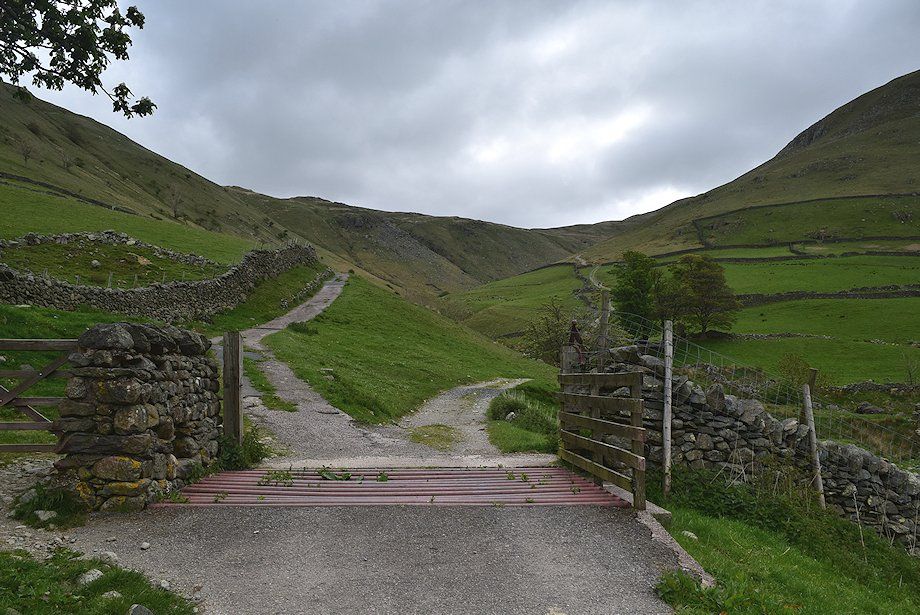 |
| Beyond a cattle grid the road divides. The right branch continues on as rough track towards Hayeswater, the left branch leads up to the water treatment building above Hayeswater Gill |
 |
| Looking back from the cattle grid towards St. Sunday Crag above the Hartsop-above-How ridge |
 |
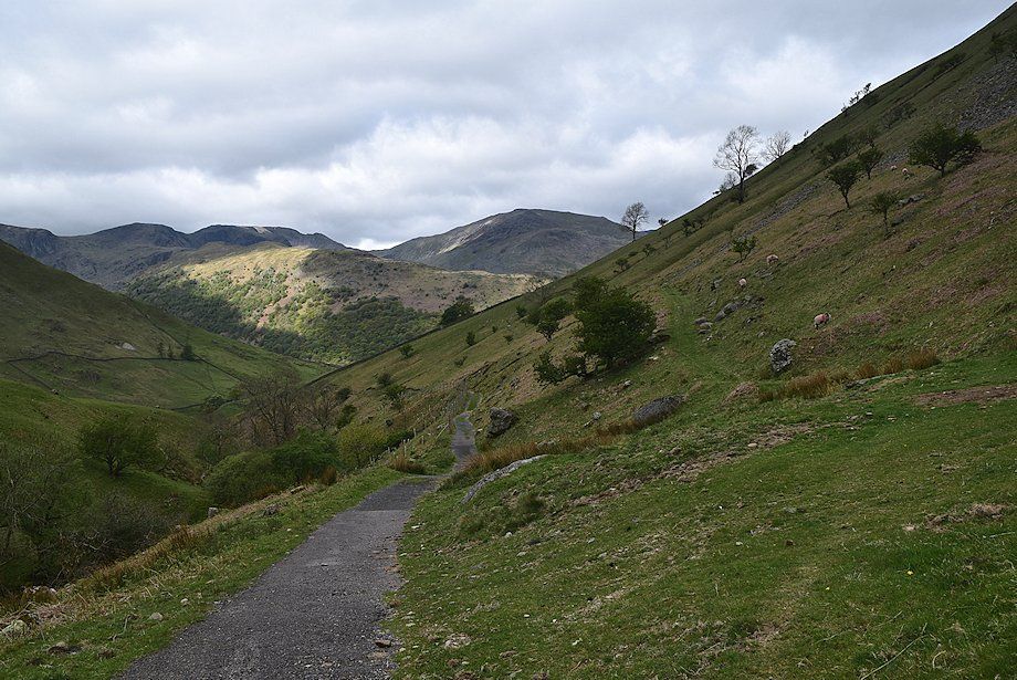
| The route continues on below the southern slopes of Brock Crags towards the water treatment building |
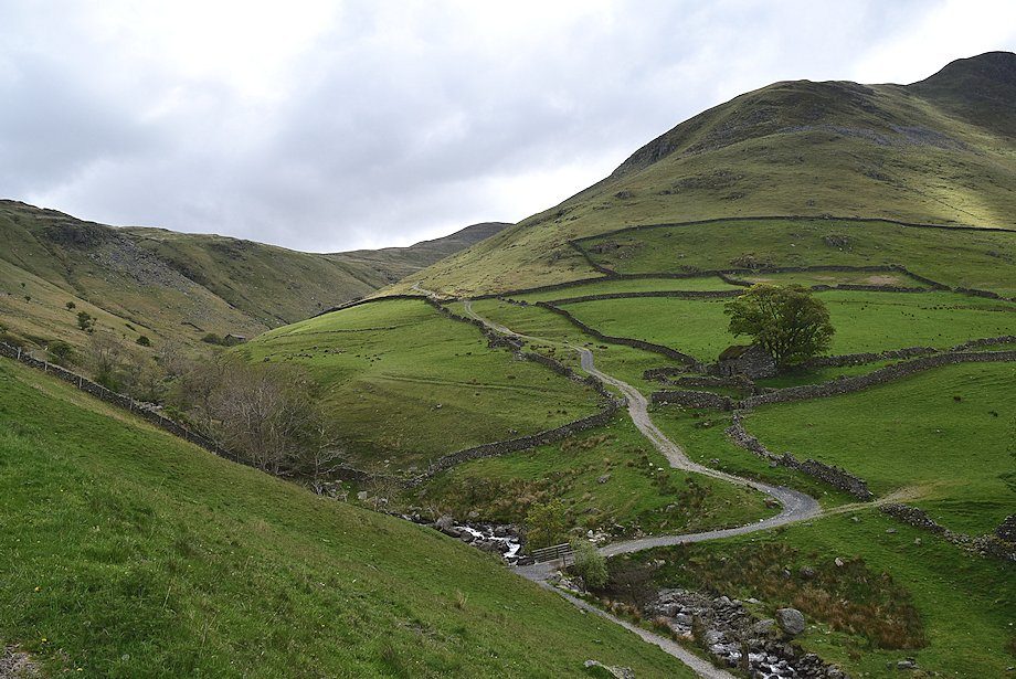 |
| Looking across to the Hayeswater access track, the water treatment building can be seen on the middle left above Hayeswater Gill |
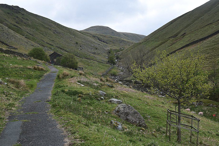 |
| Approaching the water treatment building |
 |
| Just before reaching the building make an acute left turn and follow a broad path which rises across the southern slope of Brock Crags. This is the course of the covered Hayeswater aqueduct |
 |
| Looking across to the valley of Pasture Beck from the Hayeswater aqueduct path |
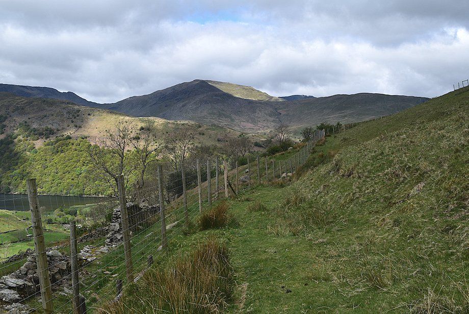 |
| The summit of Helvellyn appears over the col between St. Sunday Crag and Birks |
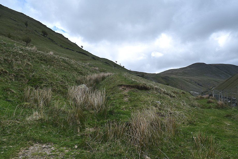 |
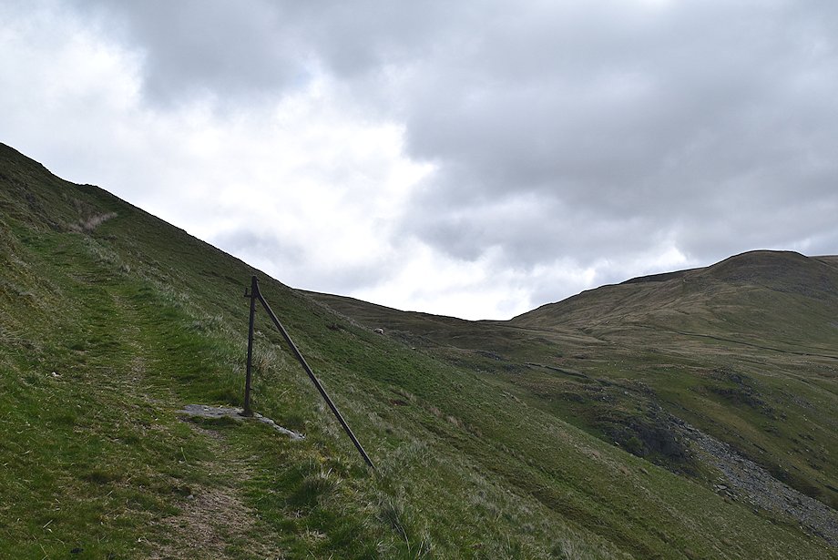
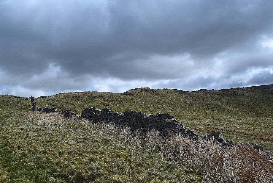
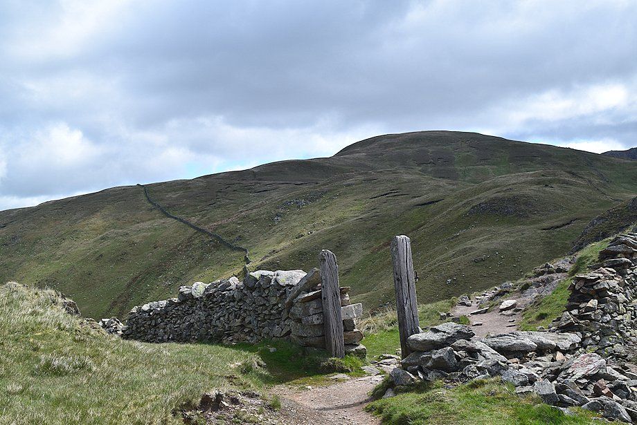
| As the aqueduct path approaches its highest point an old drove path turns acutely right, this starts as a deep groove which rises quite steeply to a gateway in a collapsed wall and continues on to cross the head of Calfgate Gill between Brock Crags and Satura Crag |
 |
| Looking back to the start of the old drove path |
 |
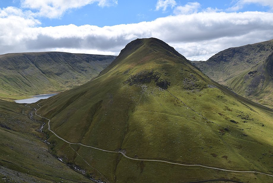
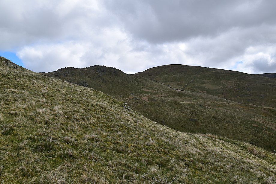
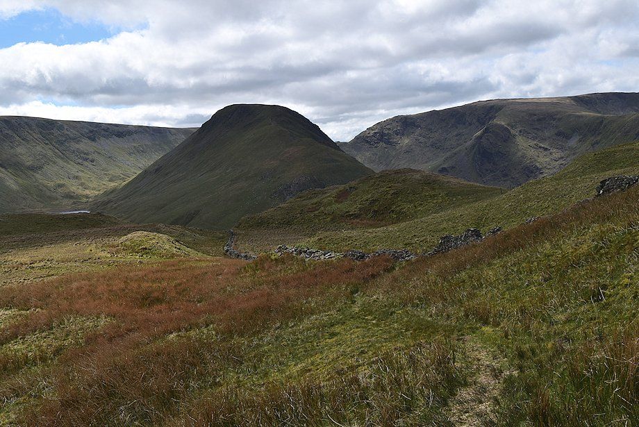
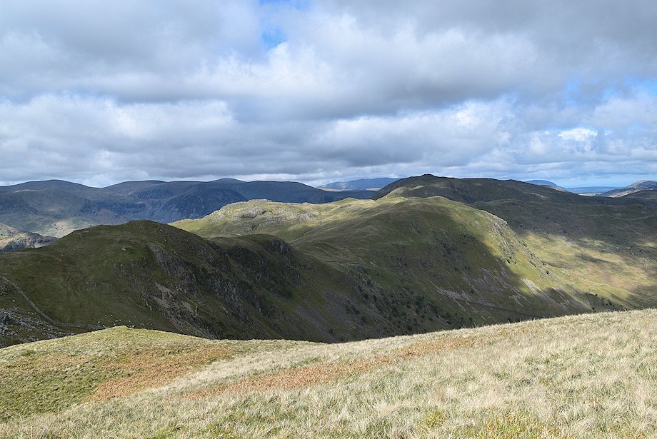
| The Knott from the gateway in the collapsed wall |
 |
| Looking back from the gateway towards St. Sunday Crag, Helvellyn and Birks |
 |
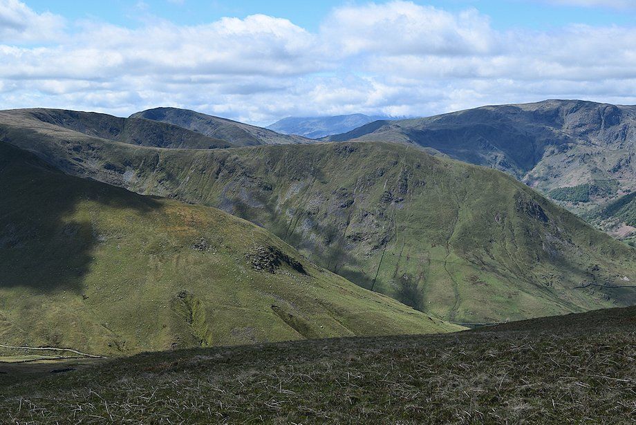
| Looking over Hayeswater Gill to The Knott, Gray Crag and Thornthwaite Crag |
 |
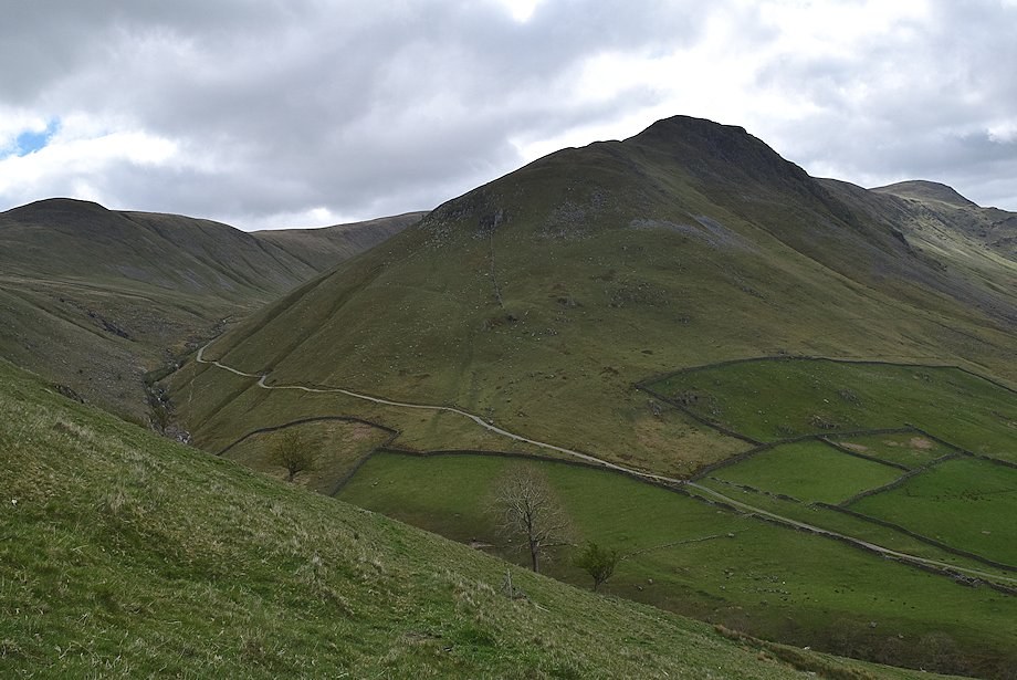
| Hartsop Dodd |
 |
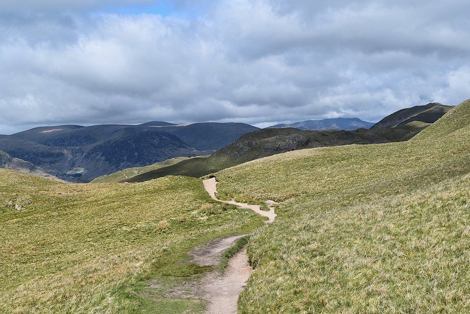
| The upper part of the old drove path as it approaches Calfgate Gill |
 |
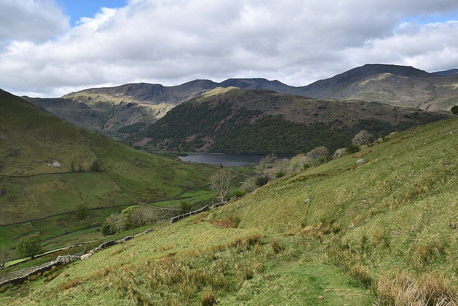
| Hayeswater comes into view |
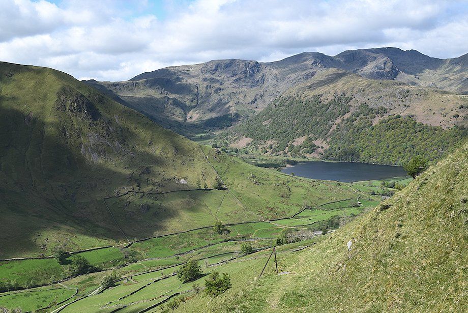 |
| Looking back to Brothers Water |
 |
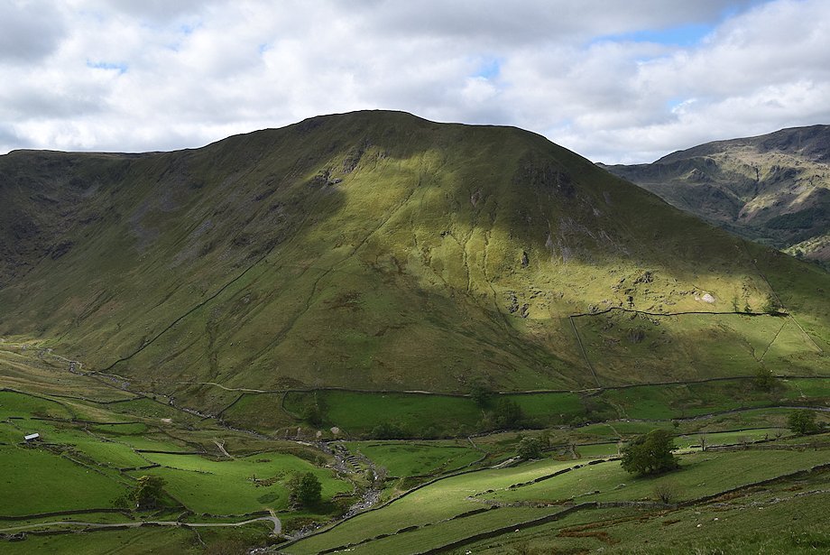
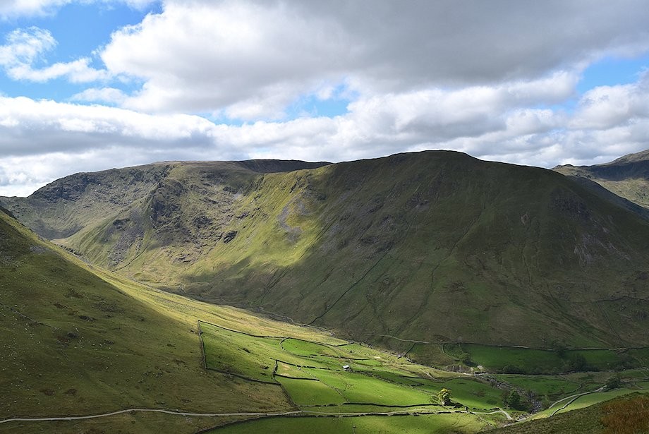
| Gray Crag flanked by High Street and Threshthwaite Crag on Caudale Moor |
 |
| The serrated top of Satura Crag together with Rest Dodd come into view as the path nears Calfgate Gill |
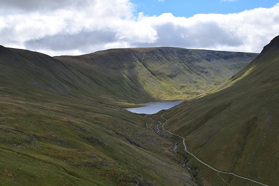 |
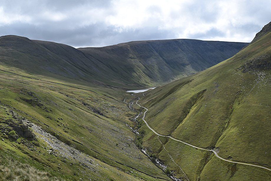
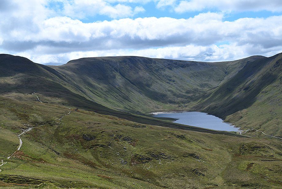
| Hayeswater backed by High Street. This small lake has reverted to its normal size since the resevoir dam was removed in 2014 |
 |
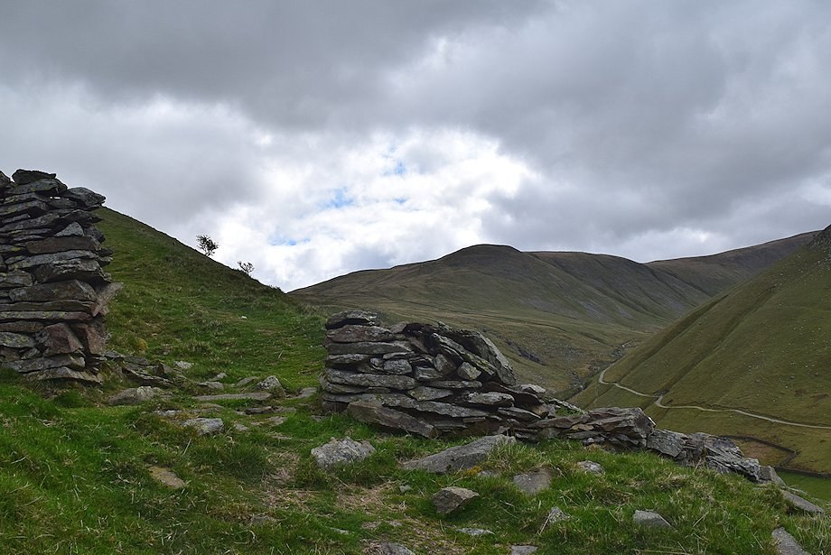
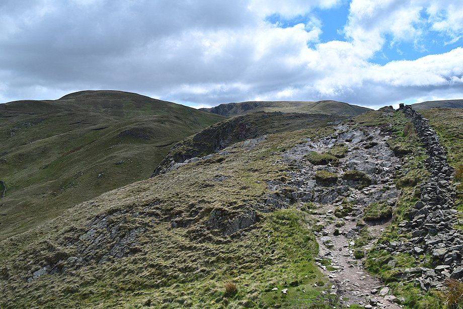
| Looking back towards Caudale Moor and Hartsop Dodd as the path reaches Calfgate Gill and turns to the north |
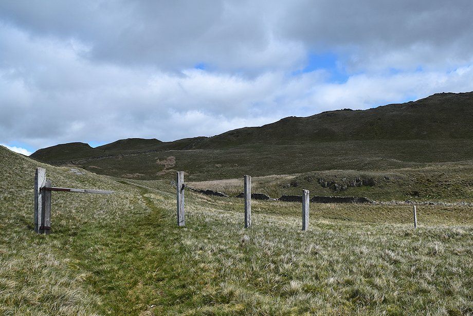 |
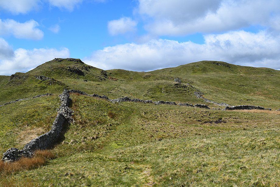
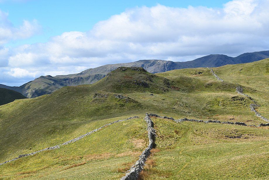
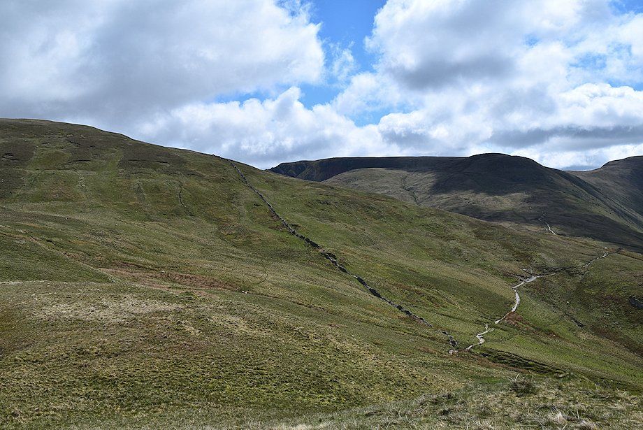
| On its approach to the head of Calfgate Gill, the path passes through the remnants of a gate in a redundant fence, slips over a collapsed wall beyond it and rises to a gateway in a semi-ruined wall at the head of the gill. It then climbs towards the Satura Crag gate posts which can be seen on the skyline between the second and third fence posts |
 |
| Looking back to Gray Crag from the collapsed wall in Calfgate Gill |
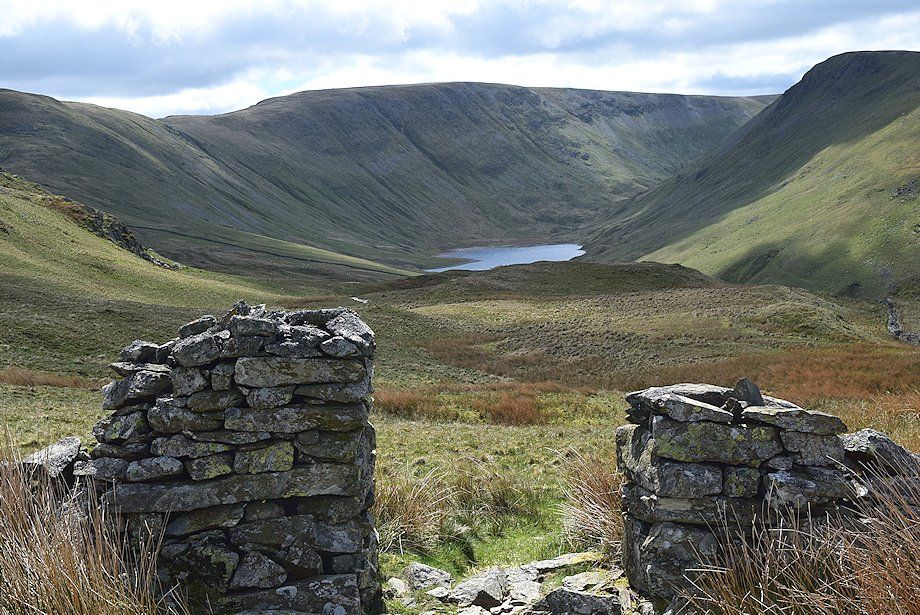 |
| Looking back to Hayeswater from the gateway in the semi-ruined wall |
 |
| From the gateway a path turns left to make the short ascent of Brock Crags |
 |
| The route to Rest Dodd turns right from the gateway and follows the wall up to the Satura Crag gate posts where it joins the Coast to Coast path |
 |
| Rest Dodd from the Satura Crag gate posts. The actual gate has been missing for a few years now |
 |
| Looking back along the Coast to Coast path. Blencathra can be seen in the distance above Angletarn Pikes |
 |
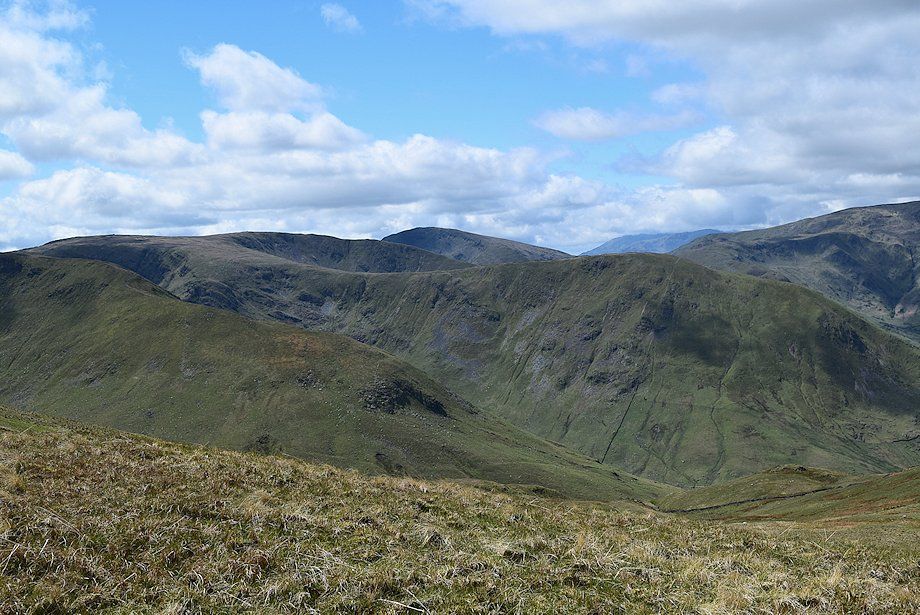
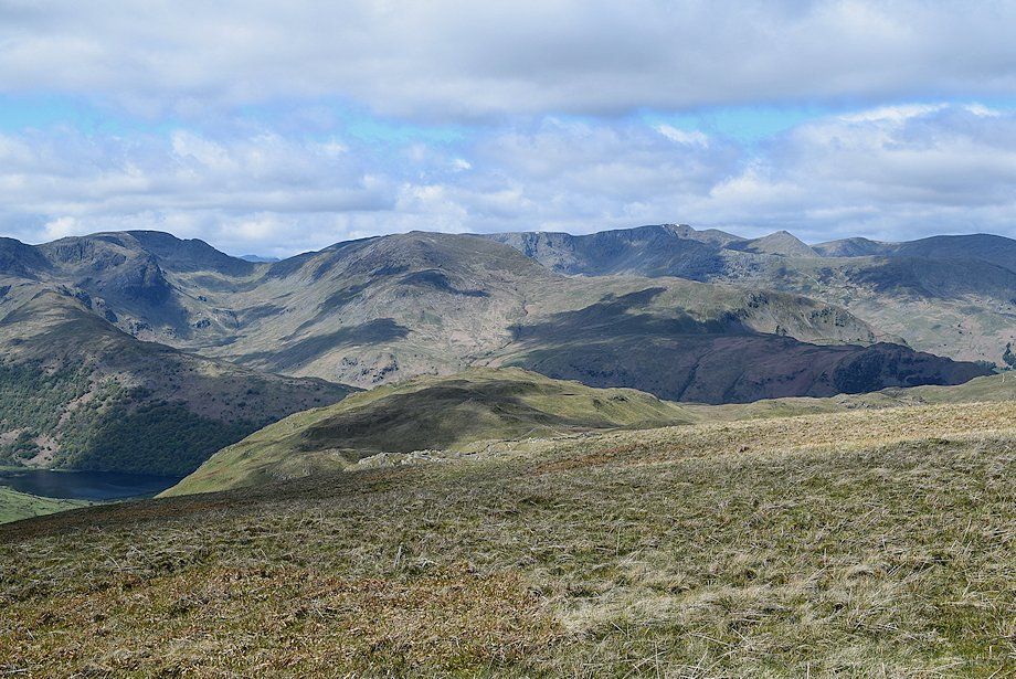
| Little Hart Crag, Dove Crag, Hart Crag and Fairfield appear over the summit ridge of Brock Crags |
 |
| Continuing along the well worn Coast to Coast path over Satura Crag, Rest Dodd is on the left with Rampsgill Head and The Knott on the centre skyline |
 |
| Bannerdale from the Coast to Coast path over Satura Crag |
 |
| The Coast to Coast path is only followed for a short distance before a distinct path turns off to the left towards Rest Dodd |
 |
| Crossing the head of Bannerdale with Satura Crag and Buck Crag on the left |
 |
| The climb to the summit of Rest Dodd from Satura Crag starts along an eroded path to the top of a grass knoll which proves to be a good viewpoint |
 |
| Hayeswater from the top of the grass knoll |
 |
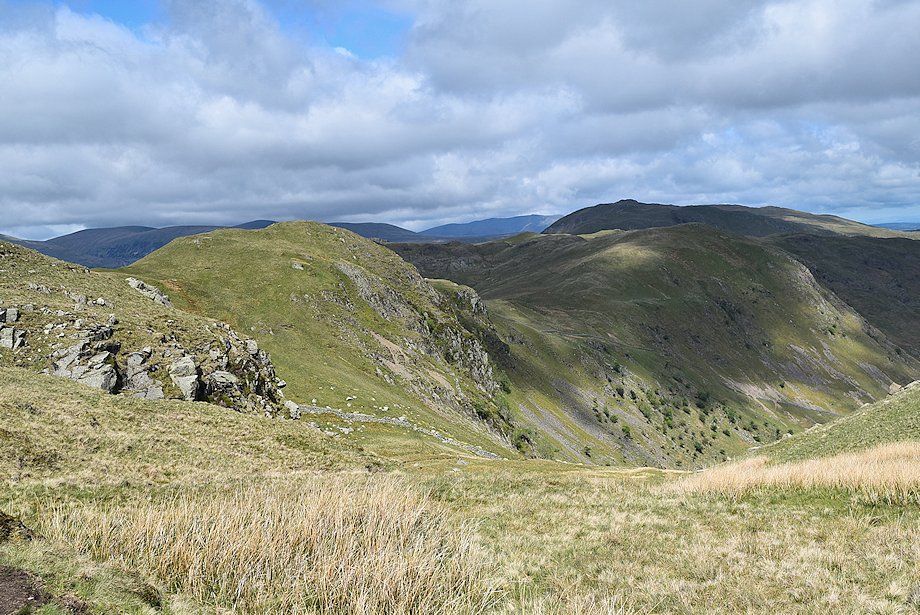
| Rampsgill Head and The Knott across the south-west slopes of Rest Dodd |
 |
| Dove Crag, Hart Crag and Fairfield over Satura Crag |
 |
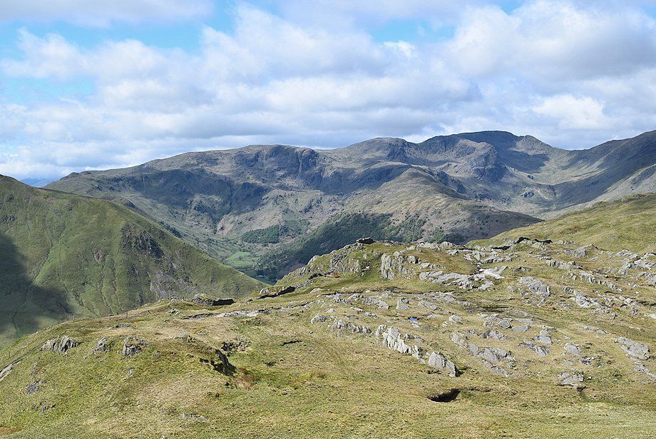
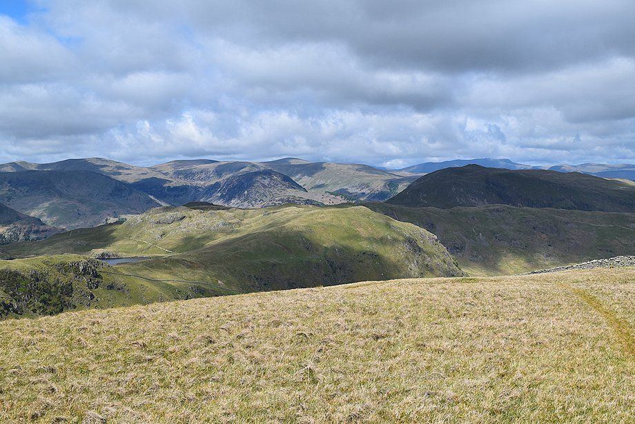
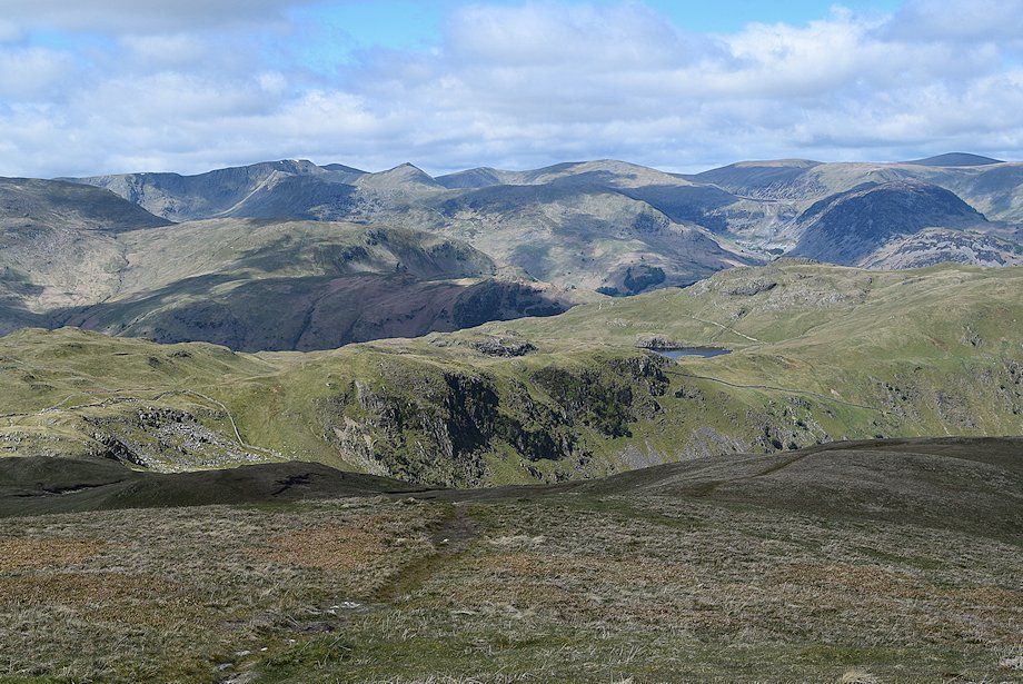
| Looking west, St. Sunday Crag, Nethermost Pike, Helvellyn, Catstycam, White Side and Raise form the horizon |
 |
| Buck Crag, Angletarn Pikes, Heck Crag, and Place Fell across Bannerdale |
 |
| Continuing on, the path turns up a broad grass spur to gain the north-west ridge of Rest Dodd |
 |
| Higher up, a path turns off to the right and climbs directly to the summit of Rest Dodd. The main path continues on over the ridge towards the Martindale Deer Reserve |
 |
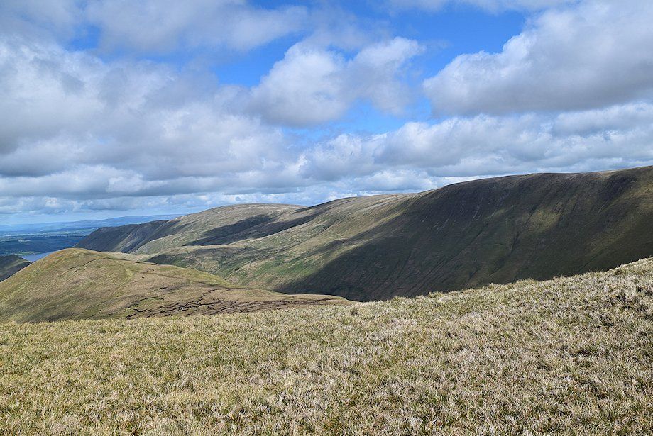
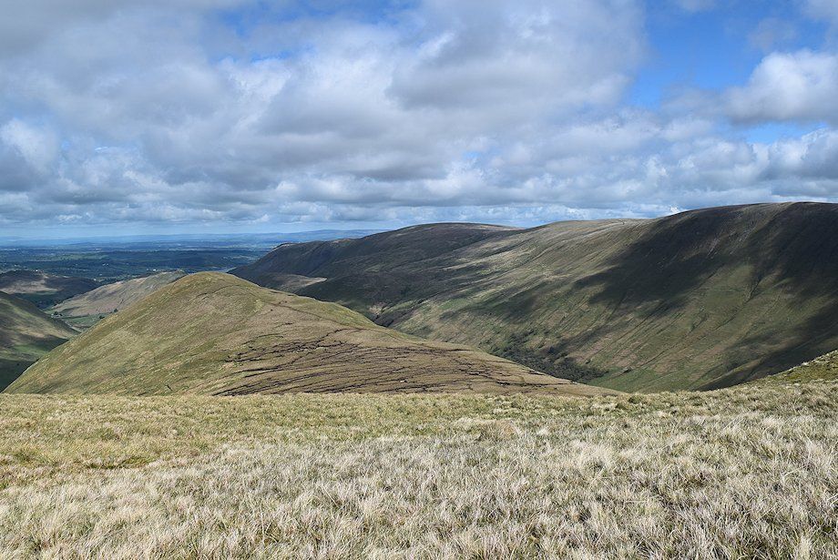
| Looking over to Place Fell above the Bedafell Knott~Beda Head ridge |
 |
| Thornthwaite Crag flanked by High Street and Gray Crag |
 |
| A glimpse of Ullswater beyond the summit of The Nab |
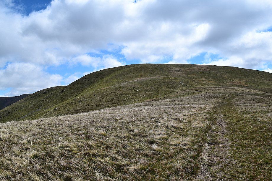 |
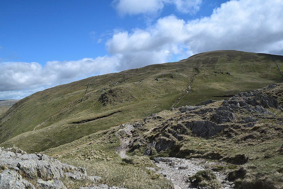
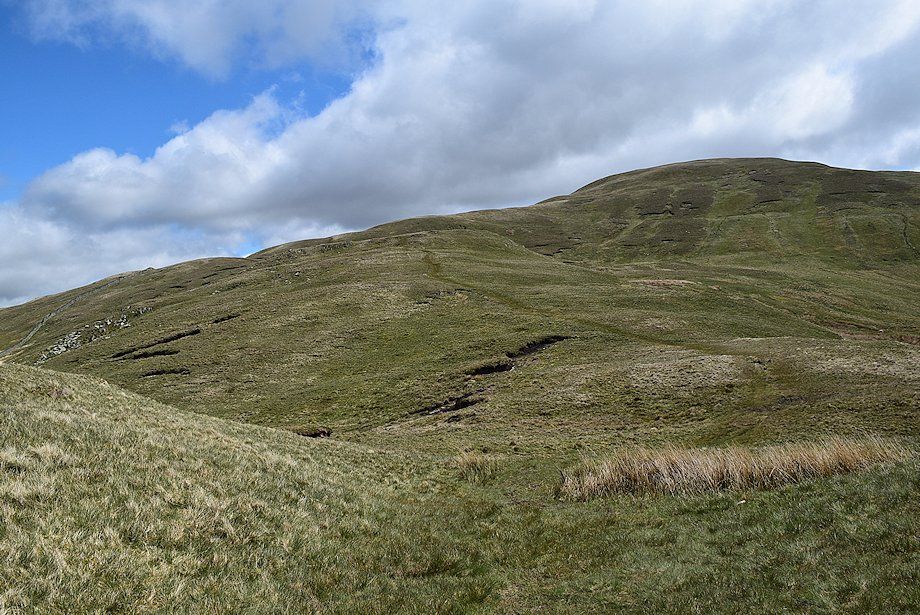
| The final slope leading up to the summit of Rest Dodd |
 |
| Looking back, part of Angle Tarn comes into view |
 |
| Gray Crag, Caudale Moor and Red Screes with the Coniston fells in the far distance above the summit of Hartsop Dodd |
 |
| Looking back to the rocky outcrops of Satura Crag |
 |
| Bonscale Pike, Loadpot Hill and Wether Hill above the long ridge of The Nab |
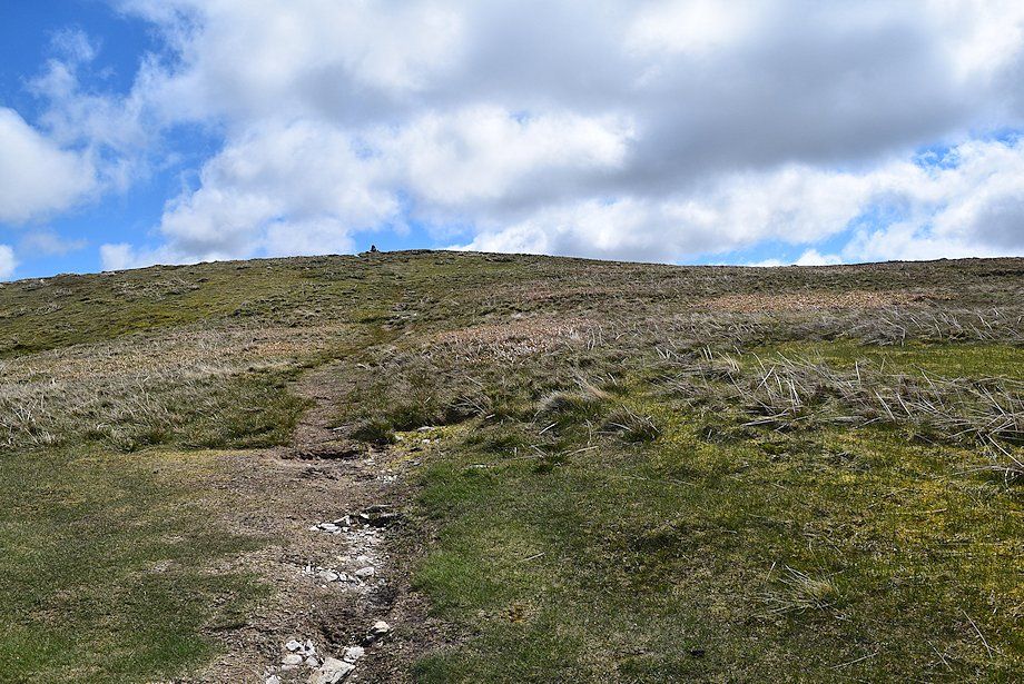 |
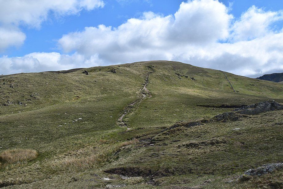
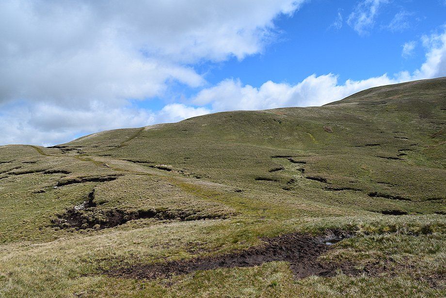
| Approaching the summit of Rest Dodd, the west cairn can be seen on the skyline |
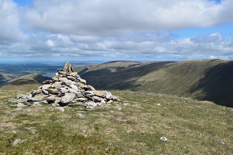 |
| The summit cairn on Rest Dodd |
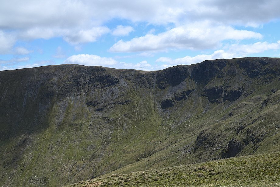 |
| High Raise and Rampsgill Head from the summit of Rest Dodd |
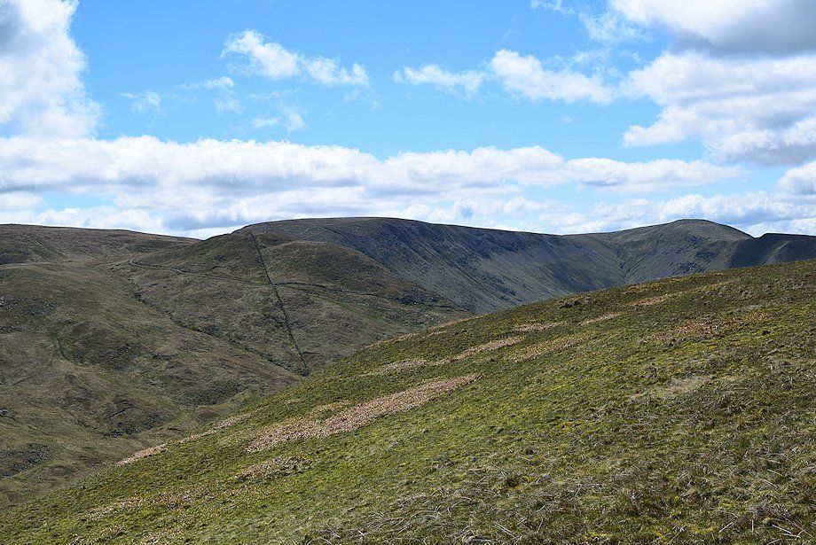 |
| The Knott backed by High Street with Thornthwaite Crag on the right |
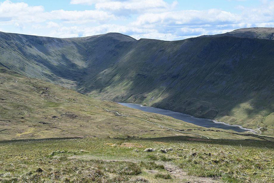 |
| Hayeswater can be brought into view by walking a few yards beyond the south cairn |
 |
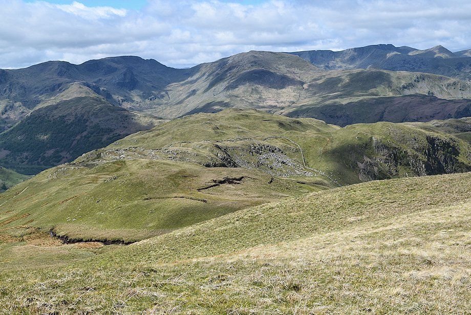
| The Coniston fells in the distance flanked by Red Screes and the High Pike~Dove Crag ridge with Caudale Moor and Hartsop Dodd in the foreground |
 |
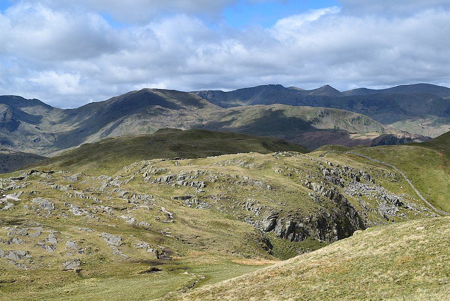
| Fairfield, St.Sunday Crag and the Helvellyn range from the south cairn |
 |
| Angle Tarn from the west cairn |
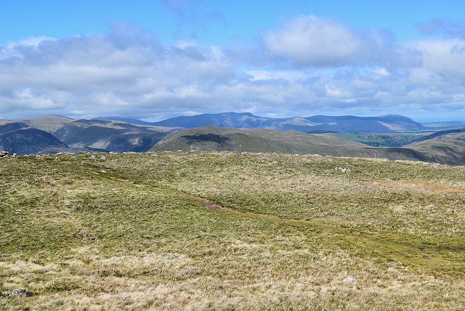 |
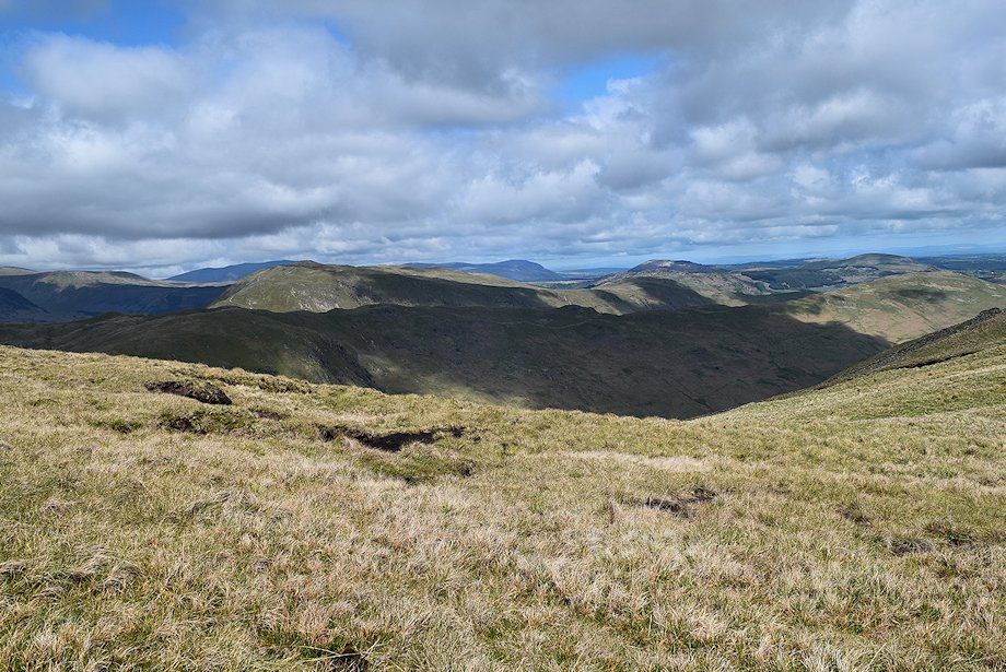
| The Northern Fells on the horizon, including Skiddaw (left) Blencathra (centre) and Carrock Fell (right) |
 |
| Ullswater fron the summit of Rest Dodd |
