 |
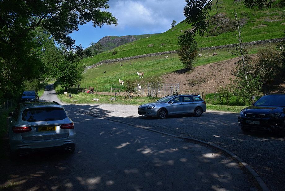
| The small Chapel Bridge car park below Little Town is the starting point for this walk |
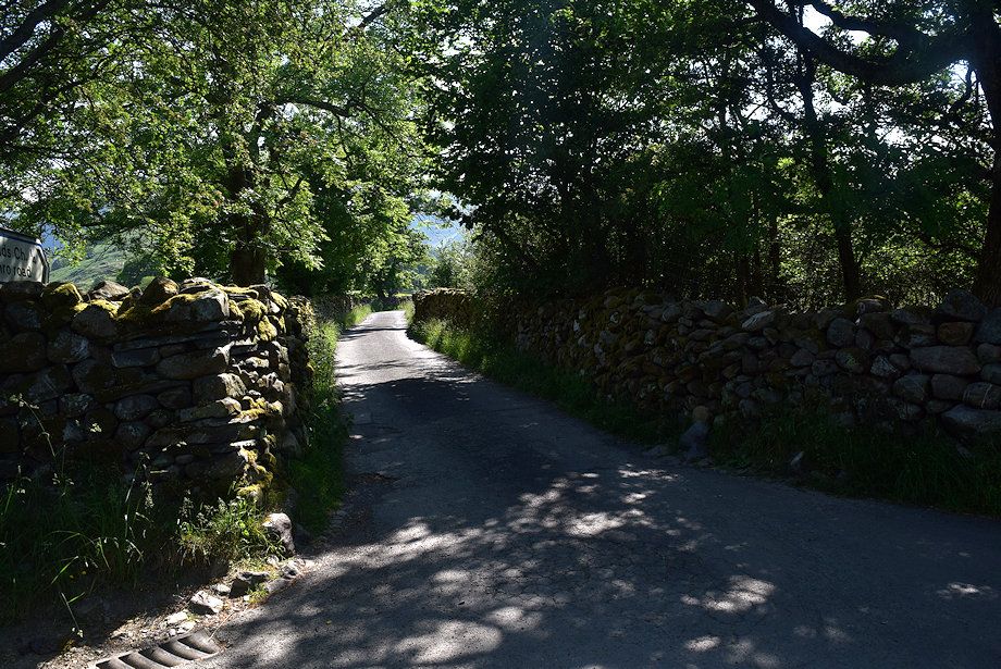 |
| Cross the bridge and turn onto the lane leading to Newlands Church |
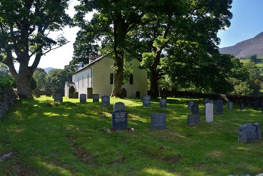 |
| Newlands Church |
 |
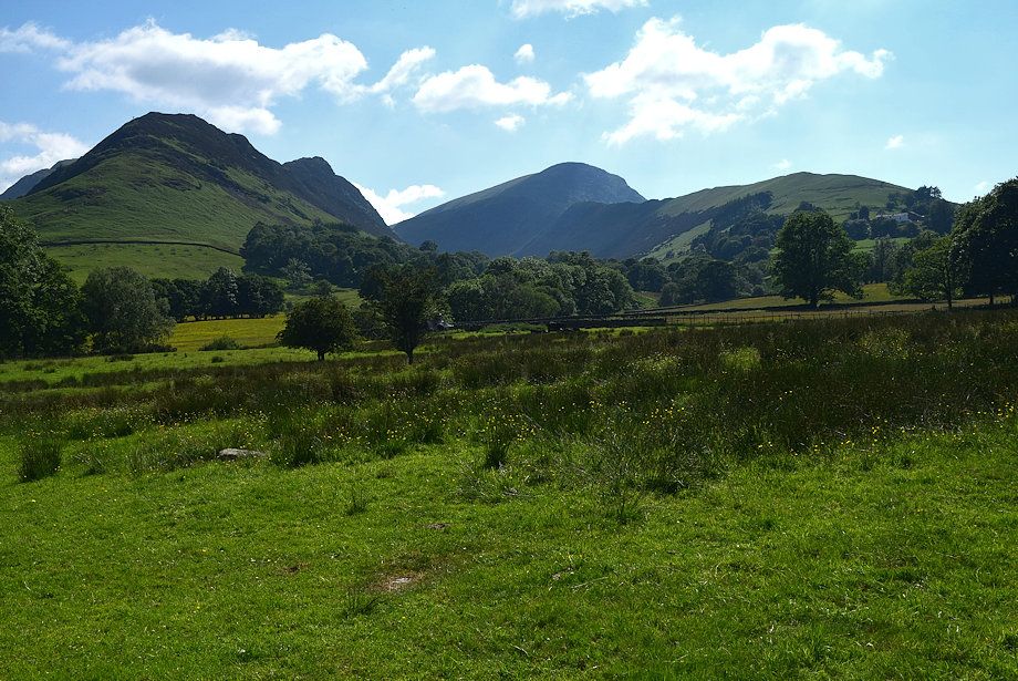
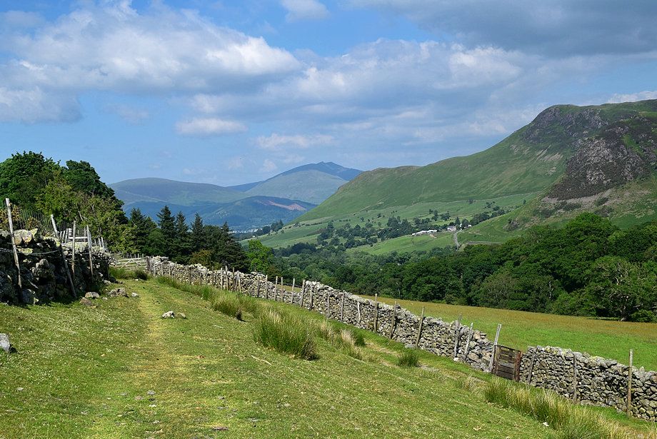
| The lane leads on past the church towards Low High Snab |
 |
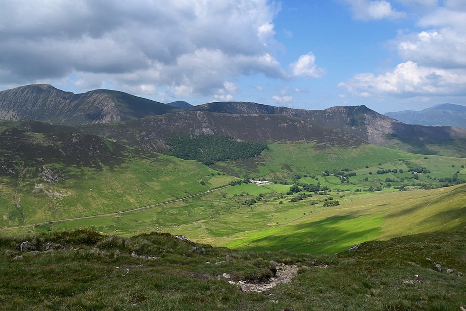
| Scope End and Robinson from the lane |
 |
| Looking over towards Maiden Moor from the lane |
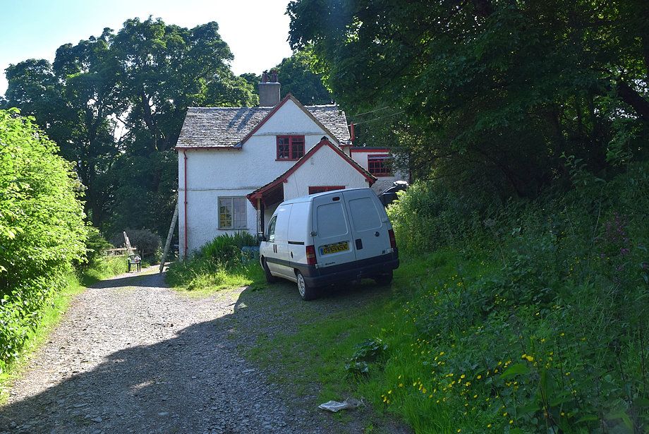 |
| Low High Snab Cottage |
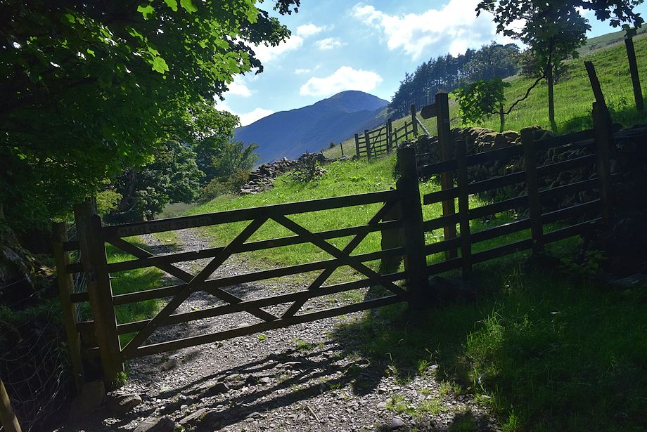 |
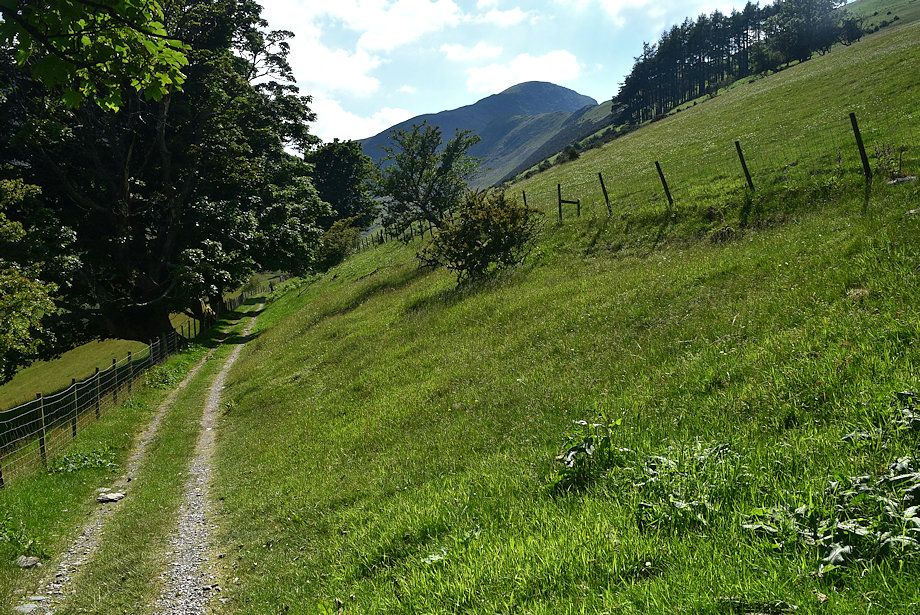
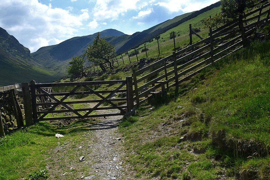
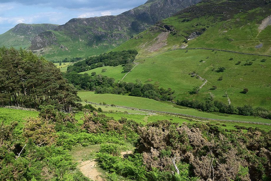
| Past the cottage a gate gives access to a fenced path which runs into the valley of Scope Beck below the eastern slopes of High Snab Bank |
 |
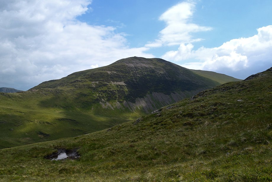
| Robinson from the path |
 |
| A little under 250 yards from the cottage cross a stile and continue on the path which is now enclosed between walls and leads to open access land |
 |
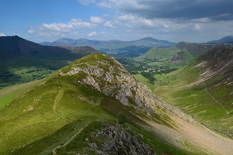
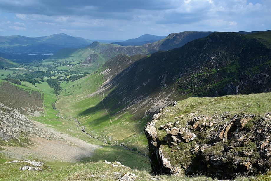
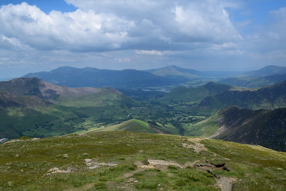
| Looking back to Blencathra with Catbells on the right |
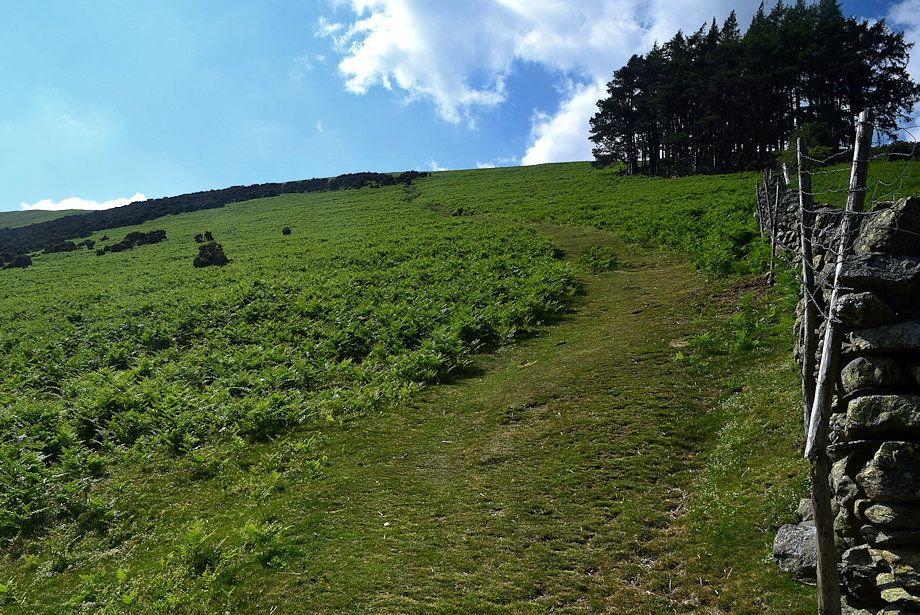 |
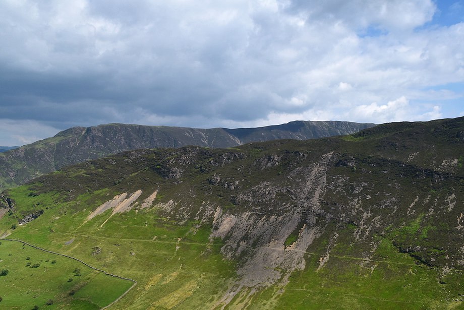
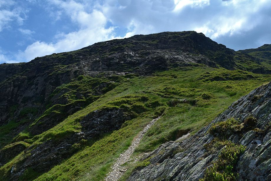
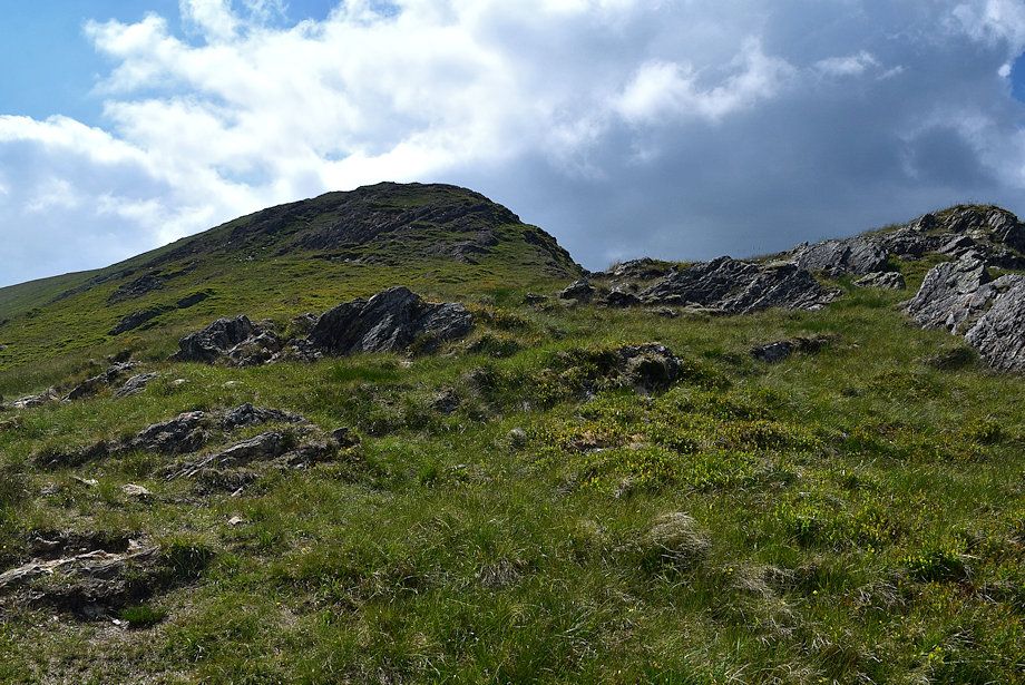
| Where the wall on the right turns uphill leave the valley path for one which climbs through bracken and gorse onto the High Snab Bank ridge |
 |
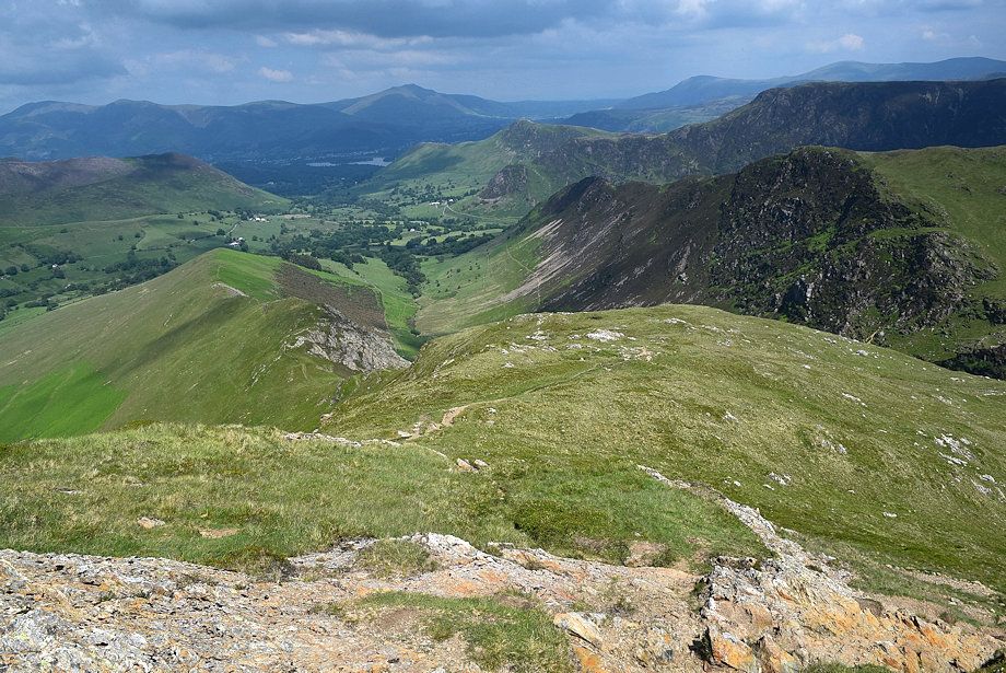
| High Crags and Robinson from the start of the climb to High Snab Bank |
 |
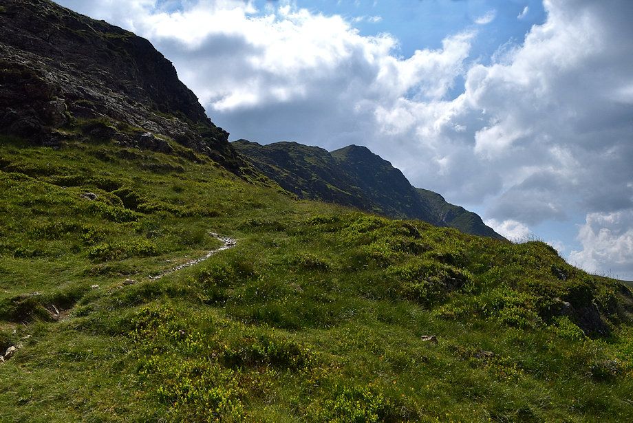
| Looking down to the start of the path up High Snab Bank |
 |
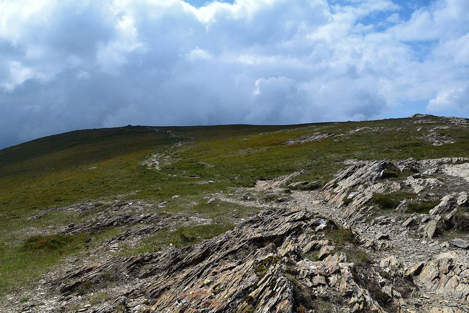
| Approaching the ridge-line on High Snab Bank |
 |
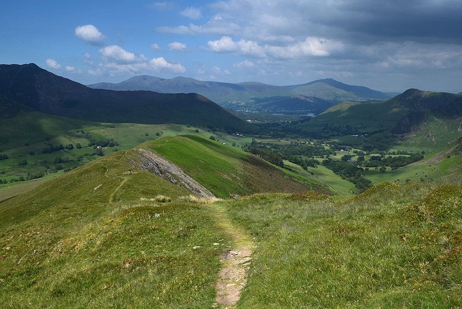
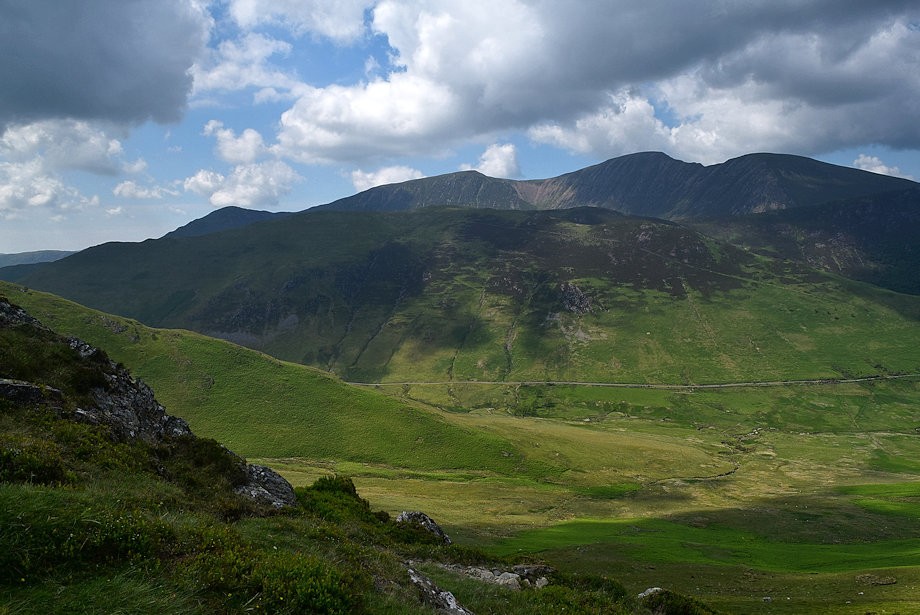
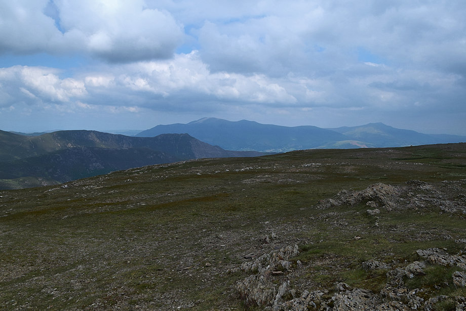
| Skiddaw and Blencathra from High Snab Bank |
 |
| Red Pike, Starling Dodd and Great Borne across Newlands Hause from High Snab Bank |
 |
| Maiden Moor over Scope End from High Snab Bank |
 |
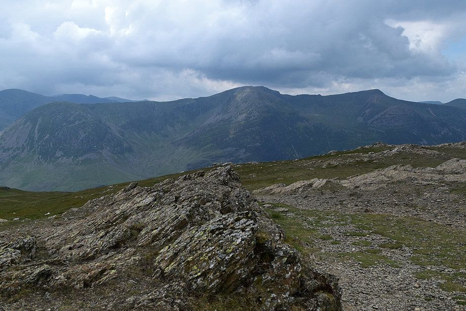
| High Crags and Hindscarth from High Snab Bank |
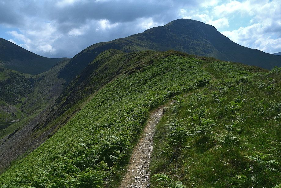 |
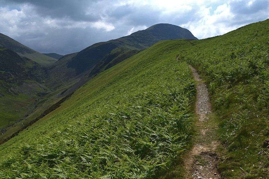
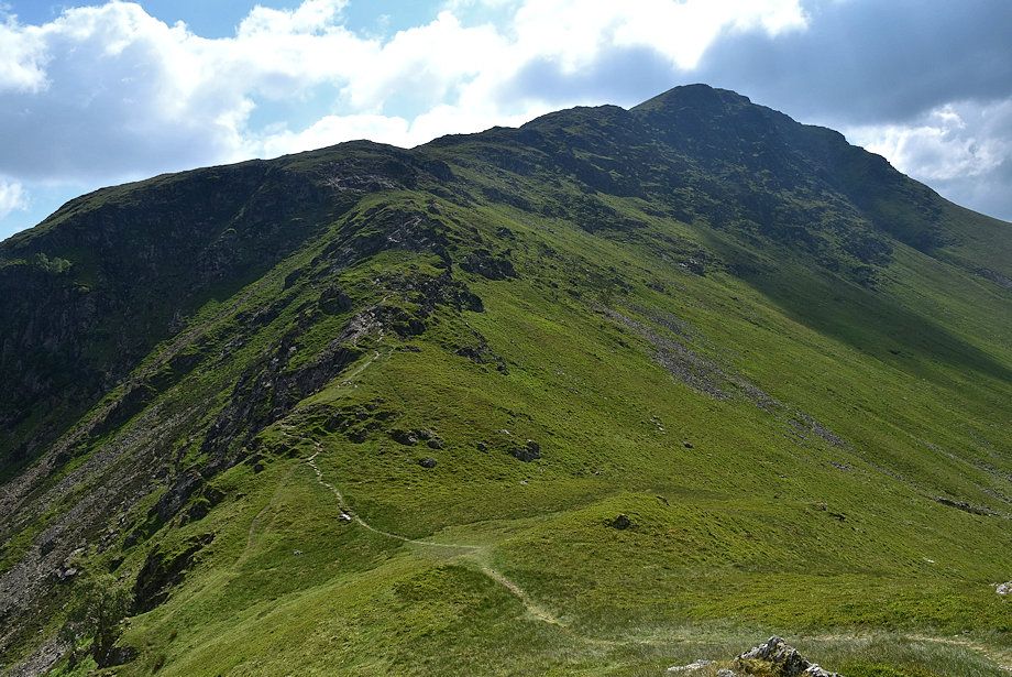
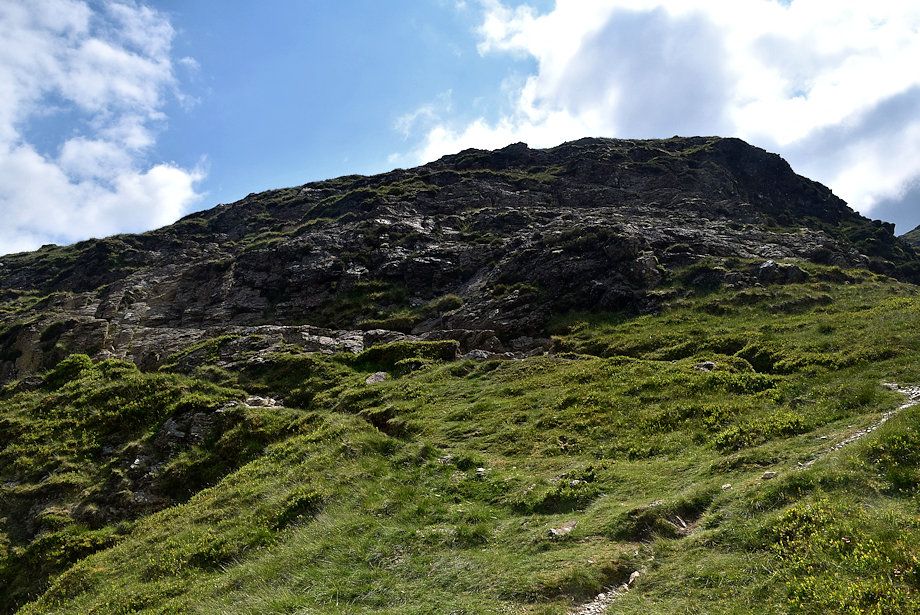
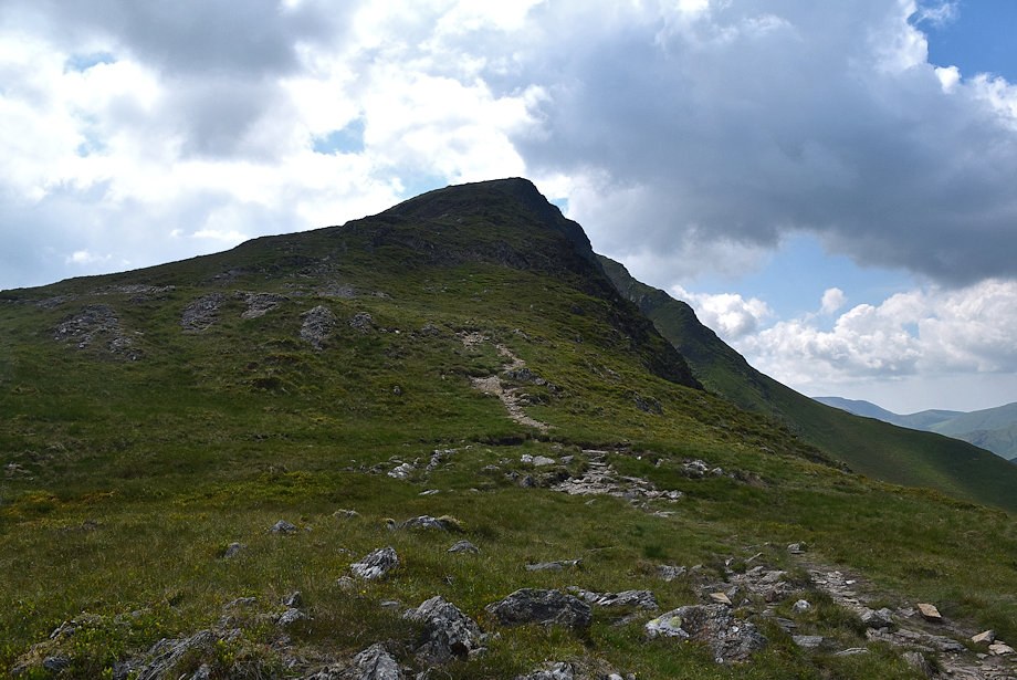
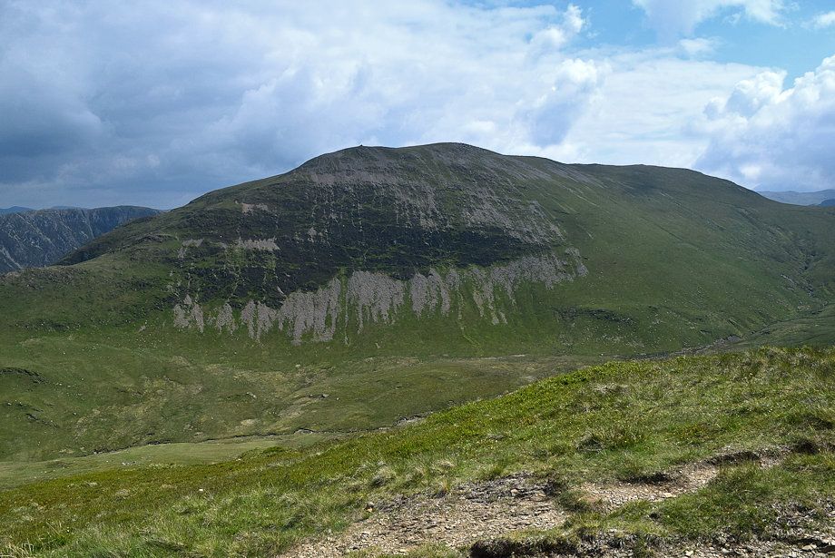
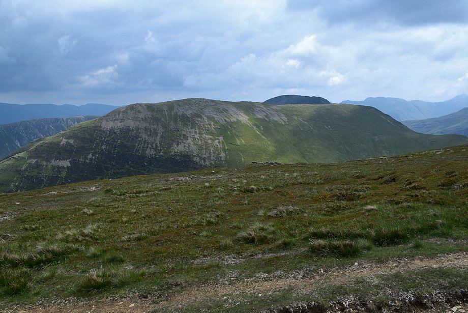
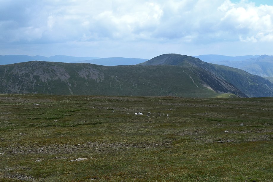
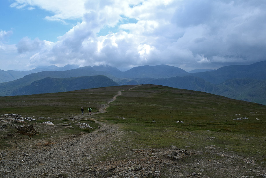
| The summit of Robinson from High Snab Bank, the path continues along the crest of the ridge to its highest point overlooking Blea Crags |
 |
| Causey Pike from High Snab Bank |
 |
| Wandope, Eel Crag and Sail over Ard Crags |
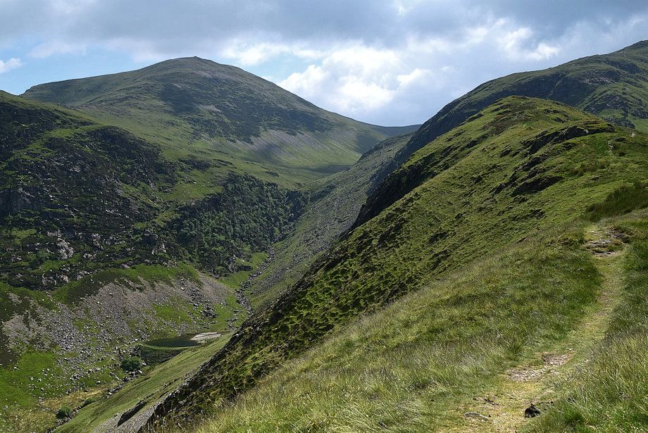 |
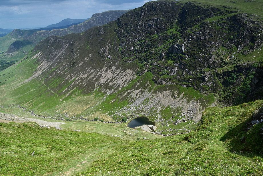
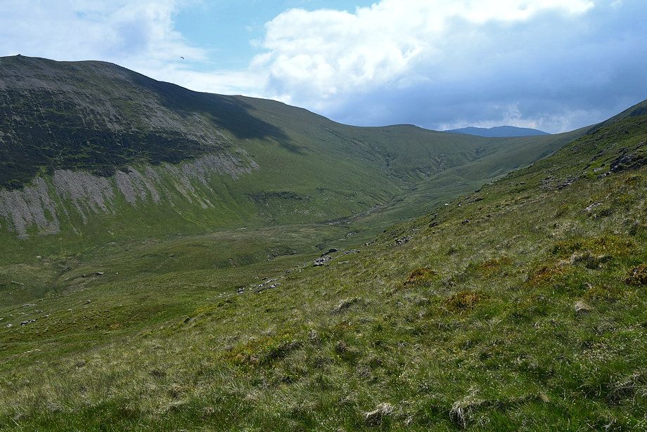
| Looking down on the old reservoir below the Scope Beck ravine which was built to power the Goldscope Mine |
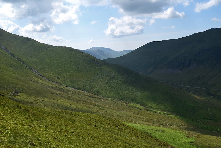 |
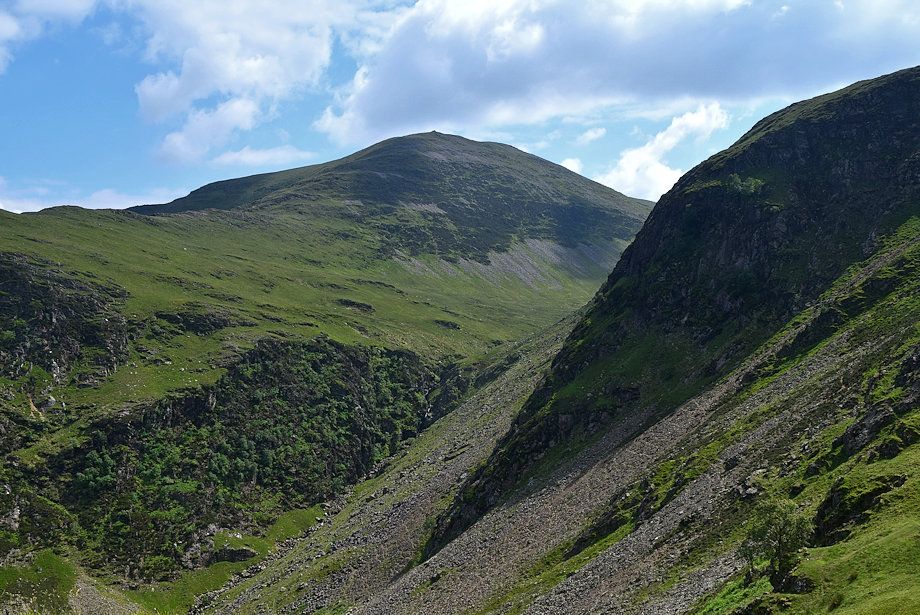
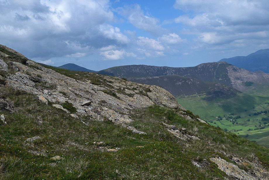
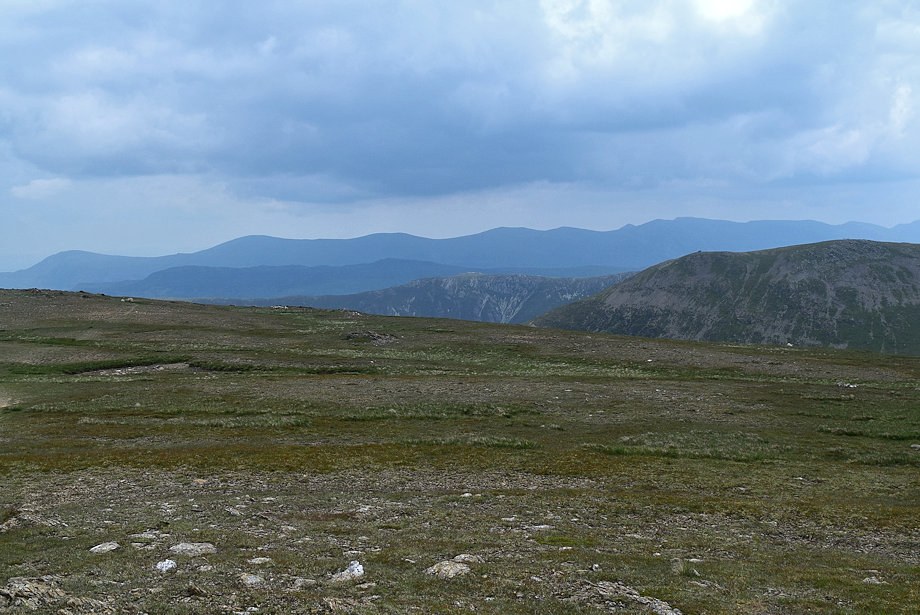
| Great Borne across Dudmancomb Edge |
 |
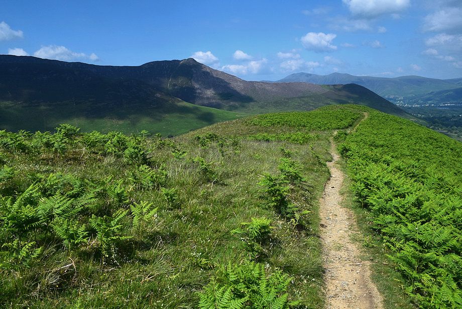
| Causey Pike, Skiddaw and Blencathra from near the top of High Snab Bank |
 |
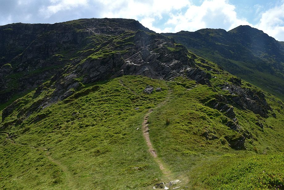
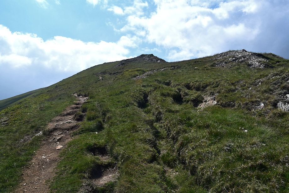
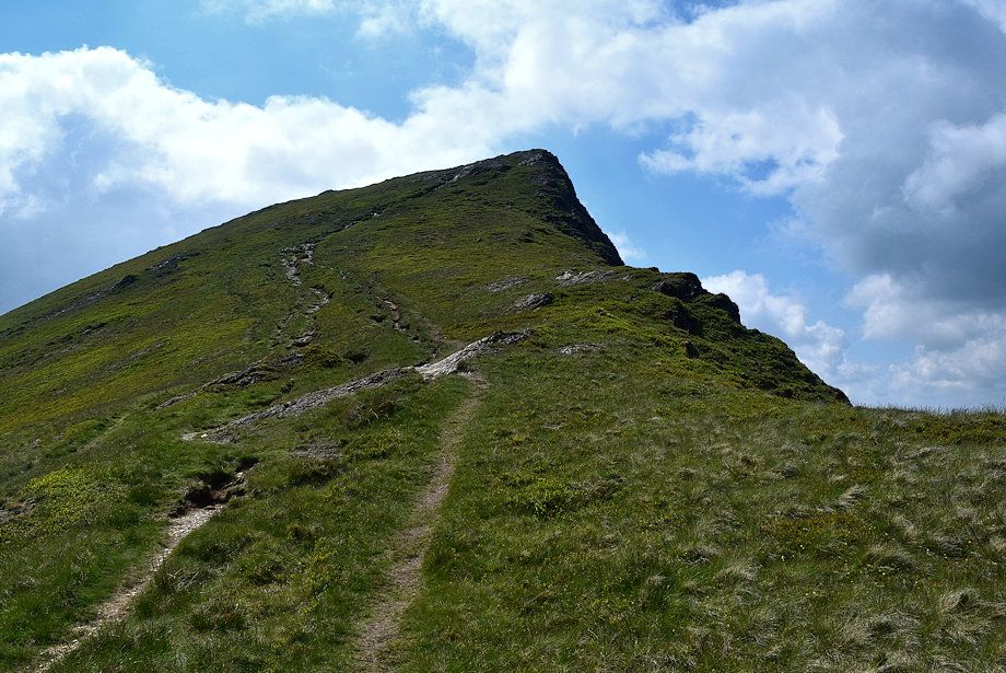
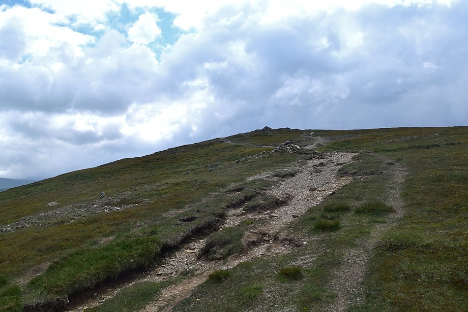
| Approaching the highest point at the end of High Snab Bank |
 |
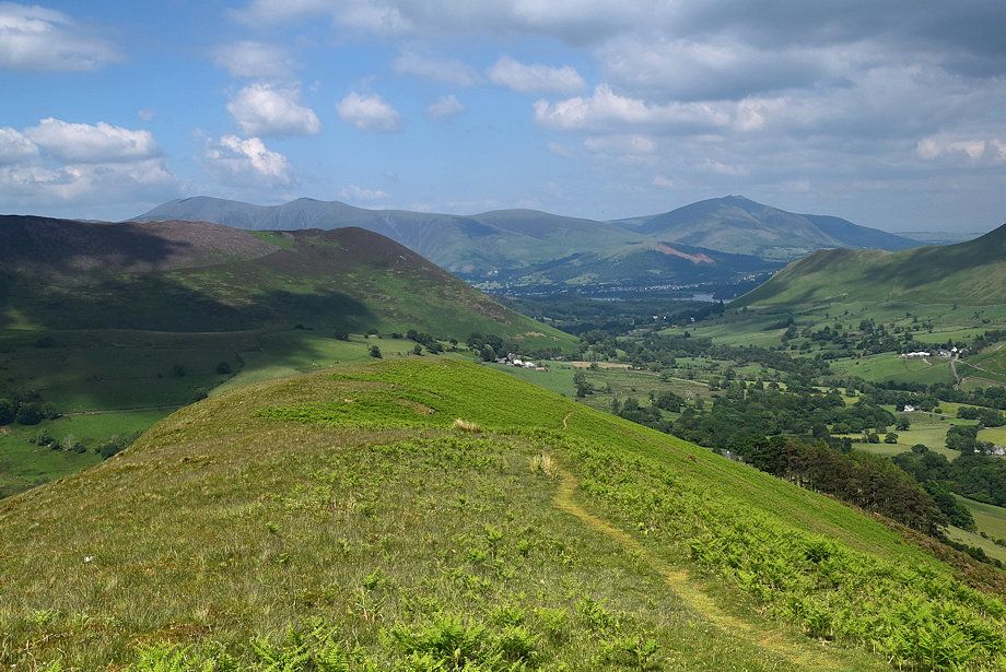
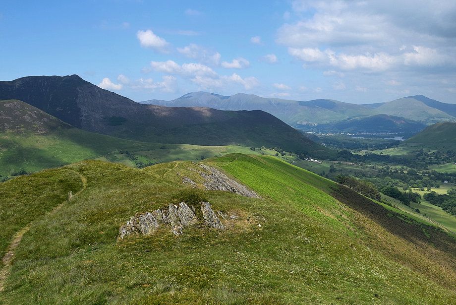
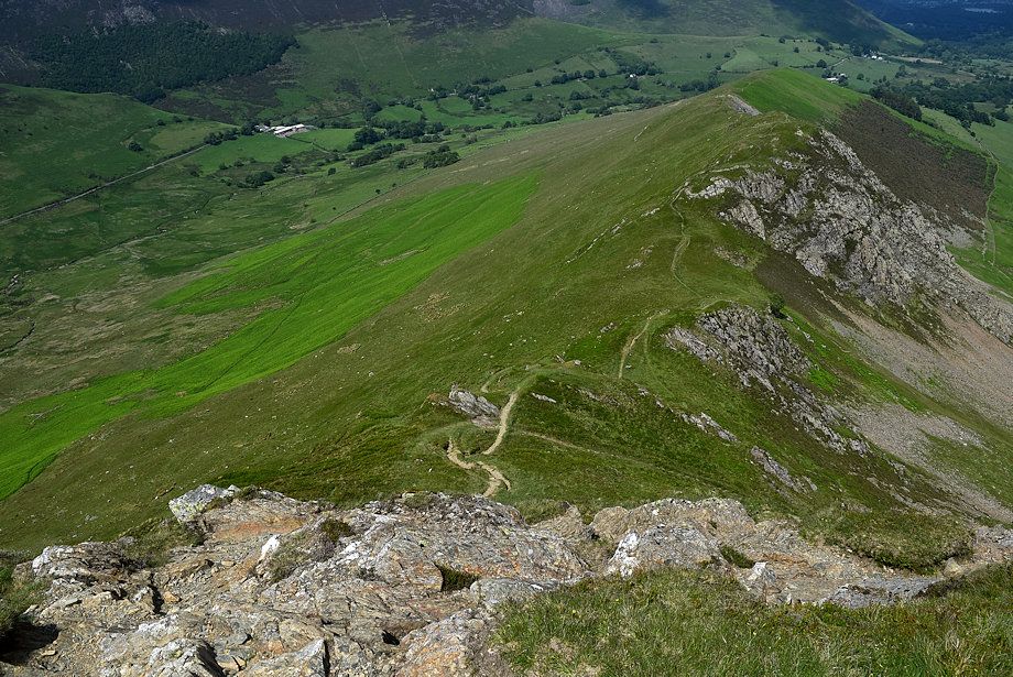
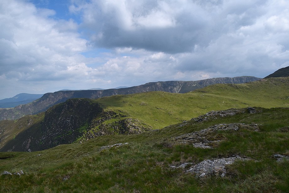
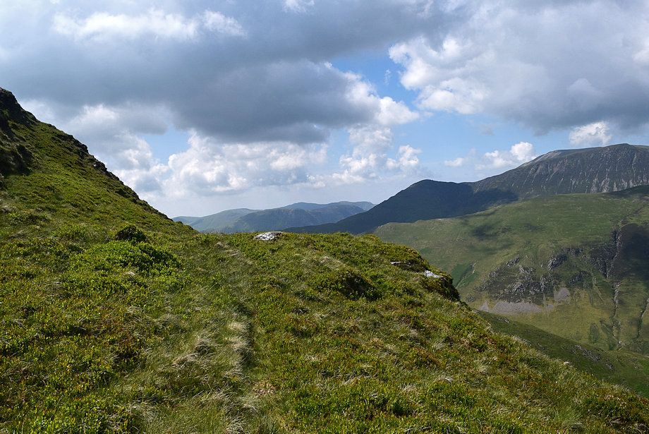
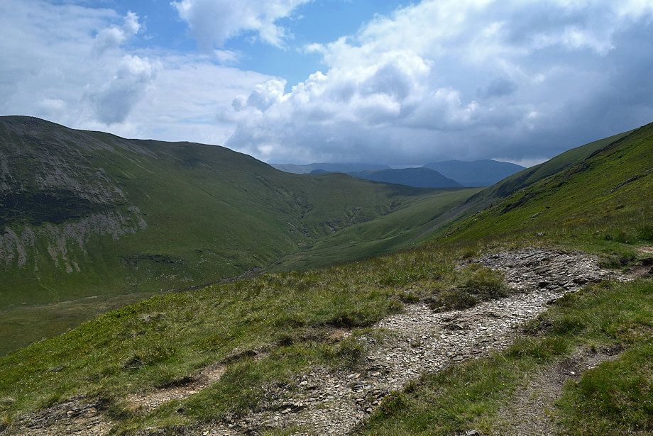
| Looking back from the top of High Snab Bank |
 |
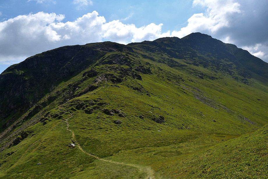
| Robinson's north ridge from the top of High Snab Bank |
 |
| Hindscarth across Blea Crags from the top of High Snab Bank |
 |
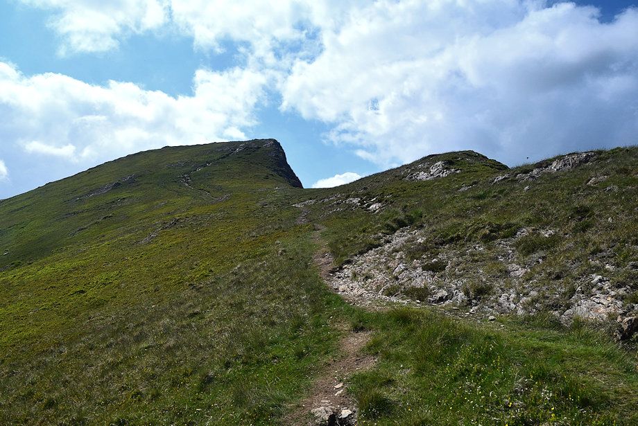
| The path descends to narrow col before climbing over three distinct craggy outcrops on Blea Crags which do require care if the rock is wet or icy |
 |
| Looking back from the top of the first outcrop which is very easy to climb |
 |
| Wandope, Eel Crag and Sail over the Knott Rigg ~ Ard Crags ridge from the top of the first outcrop |
 |
| The second outcrop is much steeper, a clear path on the left can be used to by-pass it |
 |
| Looking down to the disused reservoir from the by-pass path |
 |
| The third outcrop from the by-pass path |
 |
| Robinson Crags across the western edge of the third outcrop |
 |
| The path traverses across the lower part of the third outcrop and then climbs a shallow scoop on the left |
 |
| Looking down from the top of third outcrop |
 |
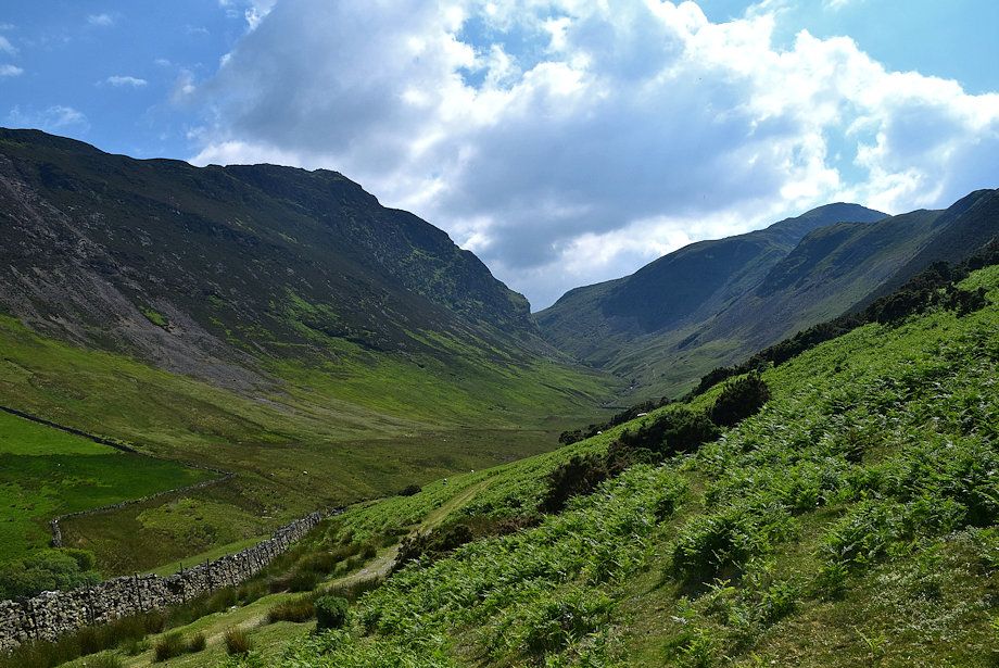
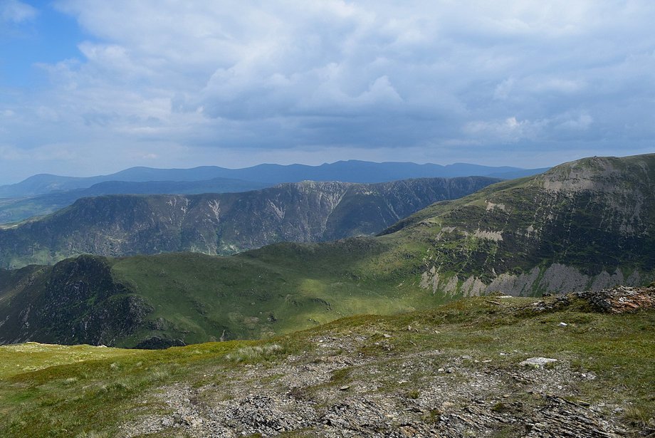
| The valley of Scope Beck from the top of the third outcrop |
 |
| On reaching the top of Blea Crags the ridge broadens and much of the difficulties are over, just one more rock step is encountered as the path climbs the slope below Robinson Crags |
 |
| Looking over to the summit of Hindscarth |
 |
| Maiden Moor and High Spy over High Crags and May Crags on Hindscarth |
 |
| Ard Crags across Keskadale, with Eel Crag, Sail, Grisedale Pike Scar Crags and Causey Pike forming the skyline |
 |
| Approaching the rock step which is easy angled and very simple to climb |
 |
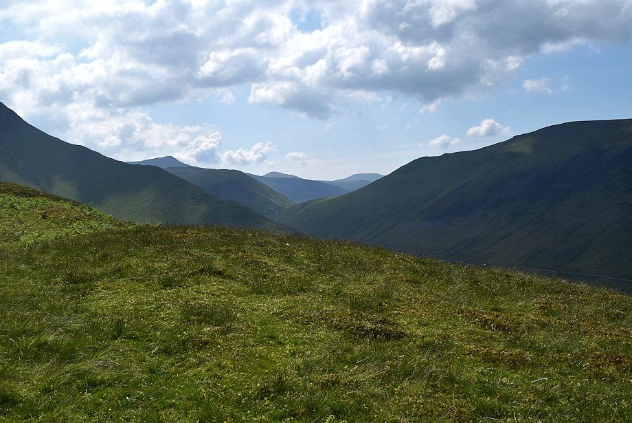
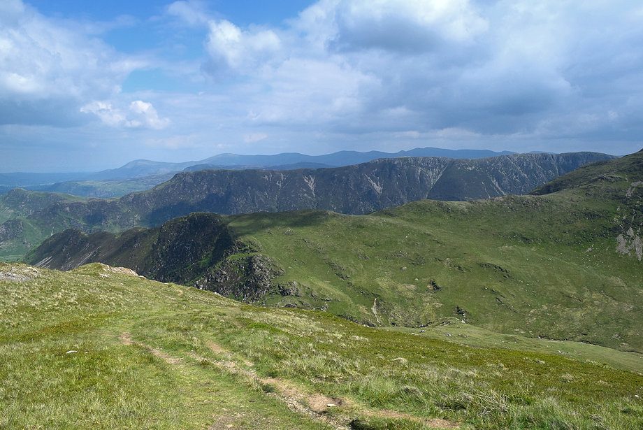
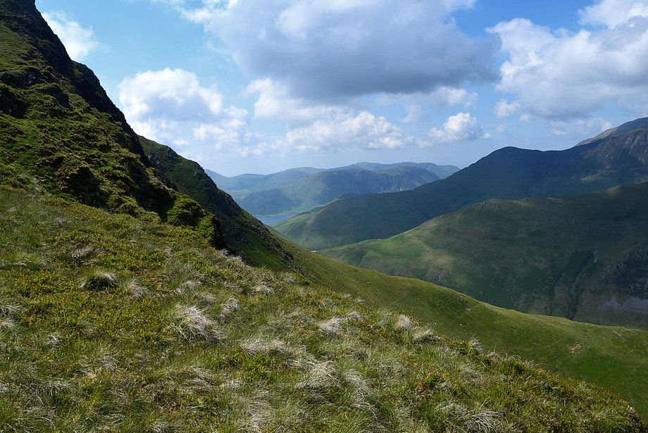
| Looking over to Little Dale |
 |
| Mellbreak and the Loweswater Fells in the distance from the base of the rock step |
 |
| Looking back from the top of the rock step along the route of ascent |
 |
| Onwards from the top of the rock step the path begins to climb alongside Robinson Crags, it keeps well to the left of its precipitous edge |
 |
| The top of Robinson Crags soon comes into view |
 |
| The Helvellyn range appears over the Maiden Moor ~ High Spy ridge |
 |
| Hindscarth across Little Dale |
 |
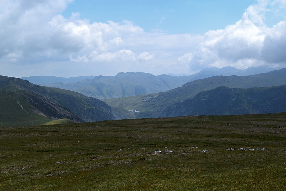
| Fleetwith Pike and Kirk Fell over Littledale Edge |
 |
| Whiteless Pike, Grasmoor, Eel Crag, Sail and Grisedale Pike over Knott Rigg from the edge of Robinson Crags |
 |
| A glimpse of Crummock Water across Robinson Crags and Dudmancomb Edge |
 |
| Approaching the top of Robinson Crags |
 |
| Grisedale Pike, Scar Crags and Causey Pike from the edge of Robinson Crags |
 |
| Looking back from near the top of Robinson Crags |
 |
| Approaching the cairn which marks the top of Robinson Crags |
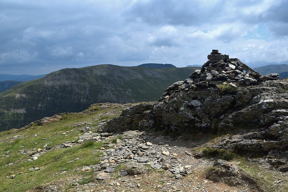 |
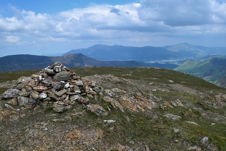
| The prominent cairn on the top of Robinson Crags, set on a rock outcrop, is visible from the valley floor and appears from there to be the summit of Robinson |
 |
| Fleetwith Pike and Kirk Fell from the prominent cairn |
 |
| The Helvellyn and Fairfield group of fells forming the horizon |
 |
| Whiteless Pike, Grasmoor, Wandope, Eel Crag, Sail, Grisedale Pike and Scar Crags from the prominent cairn |
 |
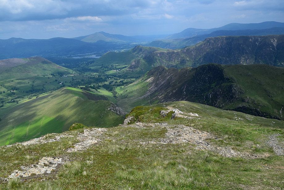
| Derwent Water from the cairn on the top of Robinson Crags |
 |
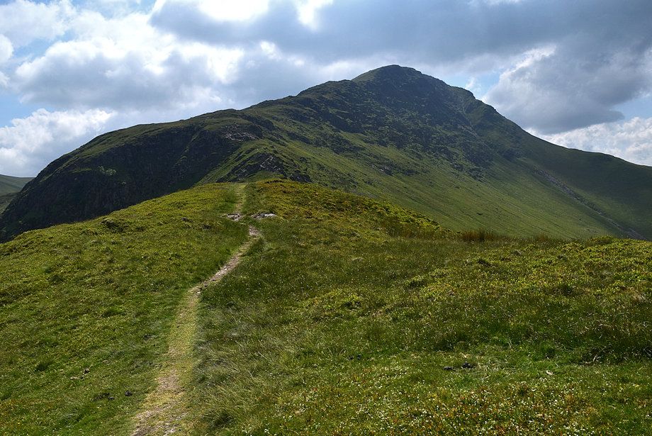
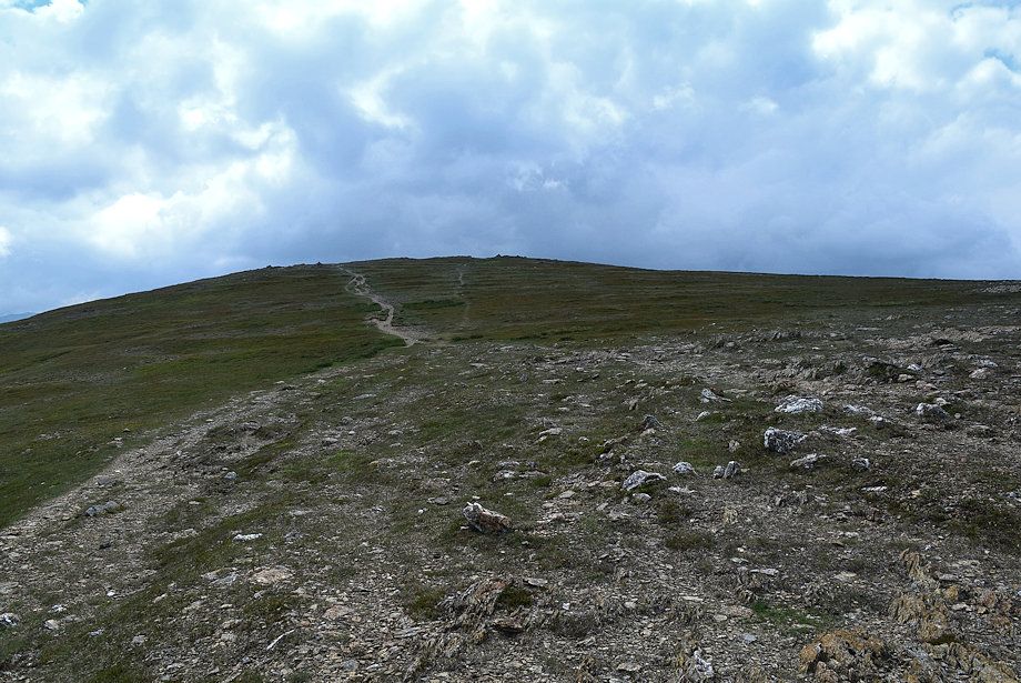
| The summit of Robinson lies a further third of a mile along its broad north ridge |
 |
| The summit of Dale Head appears over Hindscarth |
 |
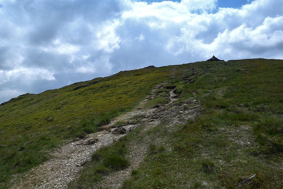
| The path is marked by the occasional cairn, the summit will come into view on reaching the one on the skyline |
 |
| Looking back along the north ridge |
 |
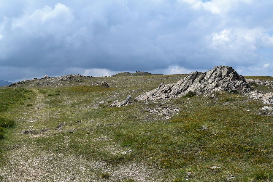
| The summit comes into view |
 |
| Approaching the summit of Robinson |
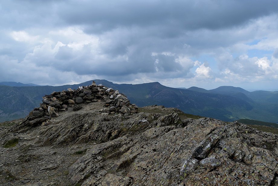 |
| The summit cairn on Robinson |
 |
| Skiddaw and Blencathra from the summit of Robinson |
 |
| The Helvellyn range from the summit of Robinson |
 |
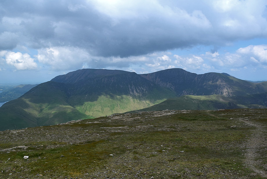
| Hindscarth and Dale Head |
 |
| Glaramara across Honister Hause |
 |
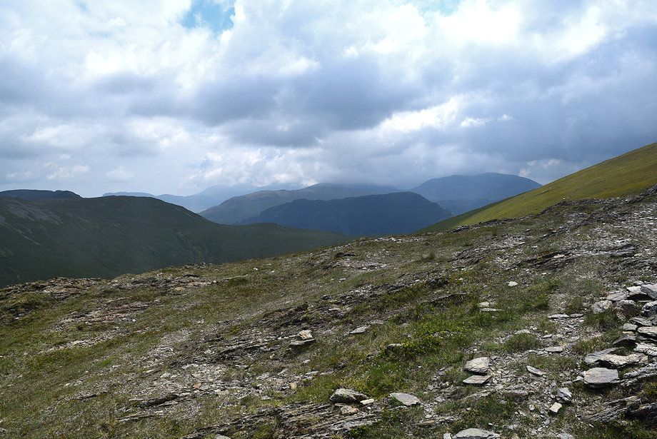
| The path leading down to Littledale Edge |
 |
| High Crag, High Stile and Red Pike |
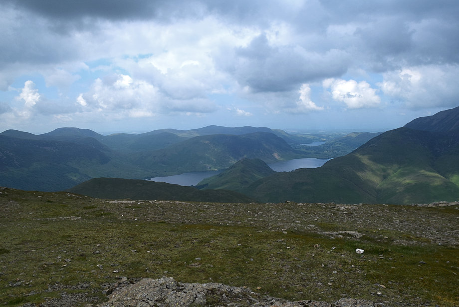 |
| Crummock Water and Loweswater from the summit of Robinson |
 |
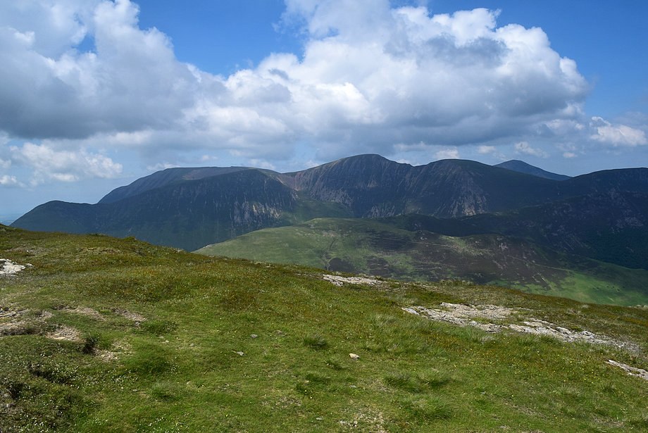
| Grasmoor, Wandope, Eel Crag, Sail and Grisedale Pike from the summit of Robinson |
