
| Rosthwaite Fell - Route One |
| Start - Stonethwaite NY 262 137 | Distance - 1.75 miles | Ascent - 1,600 feet | Time - 1 hour : 30 minutes |
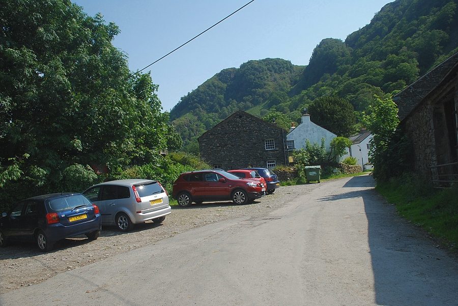 |
| Stonethwaite at the start of the walk. There are a only a few spaces to park beside the telephone box but there is ample parking to be found on the approach lane to the hamlet |
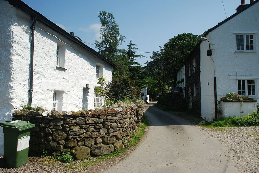 |
| The route heads through the hamlet, past the Langstrath Hotel. A rough lane continues on towards the Stonethwaite Farm Campsite |
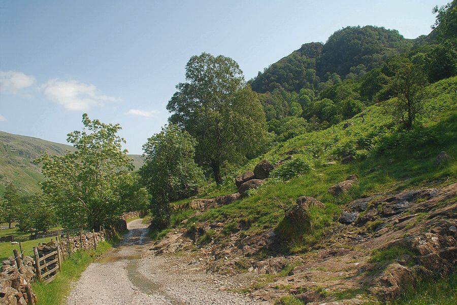 |
| The lane leading to Stonethwaite Farm Campsite |
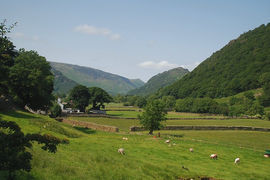 |
| Looking back to Stonethwaite from the lane |
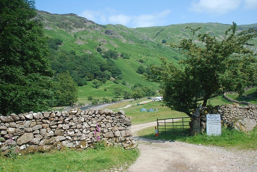 |
| Stonethwaite Farm Campsite |
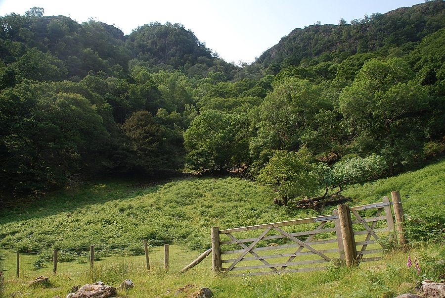 |
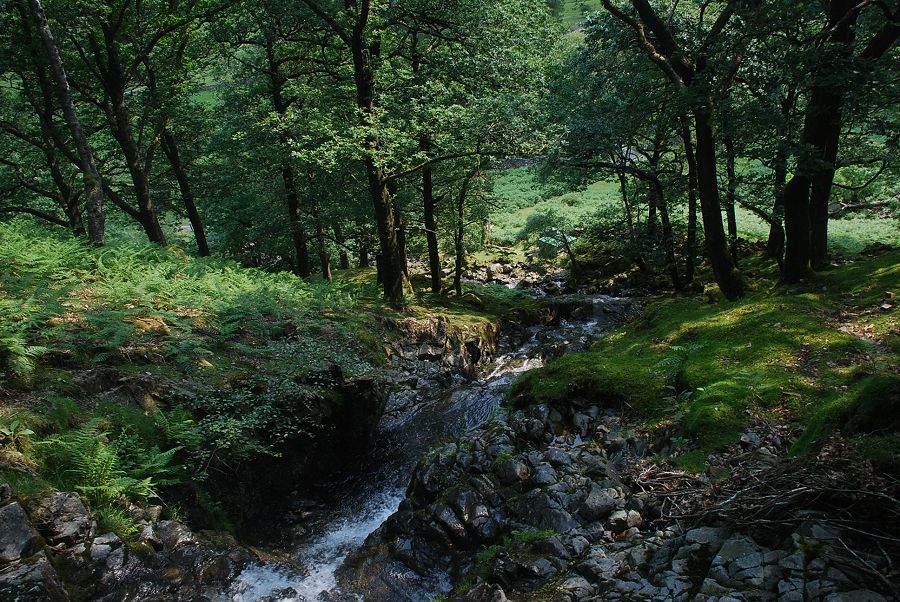
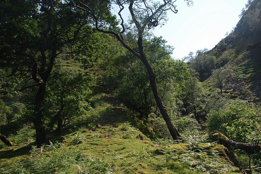
| Directly opposite the entrance to the campsite a gate gives access to a path which climbs through the woods towards Big Stanger Gill |
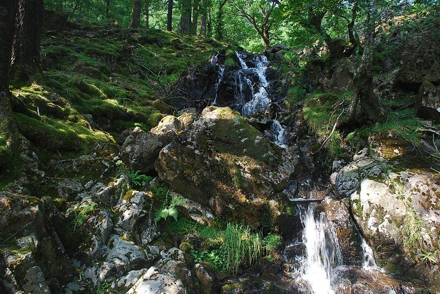 |
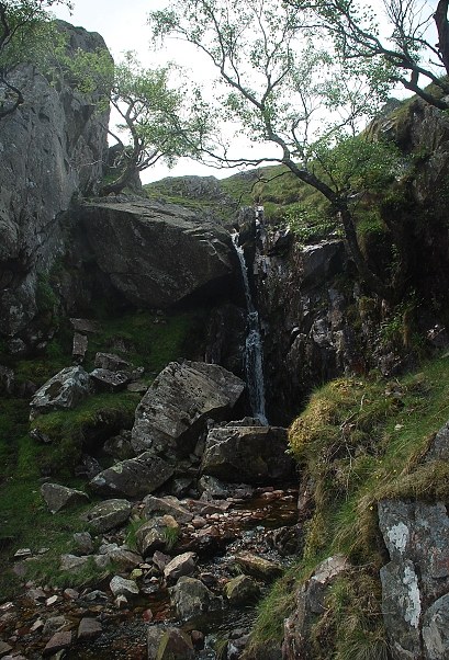
| The lower waterfall in Big Stanger Gill |
 |
| Looking back from the top of the waterfall |
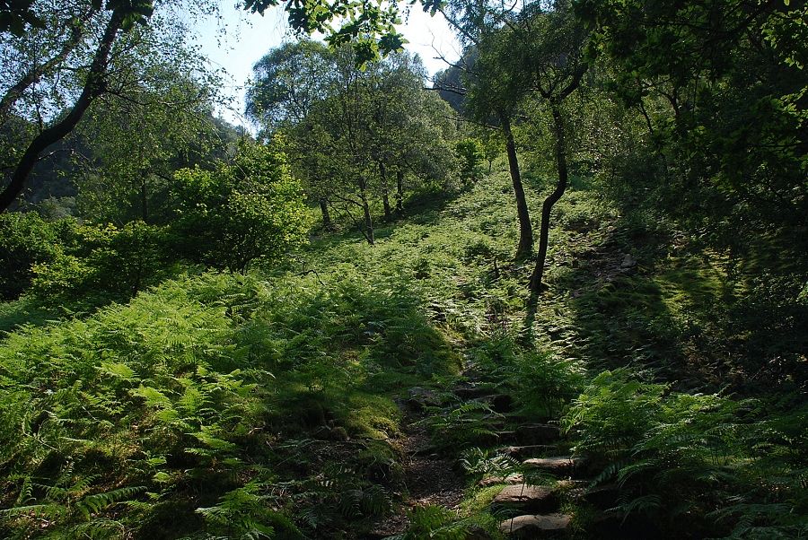 |
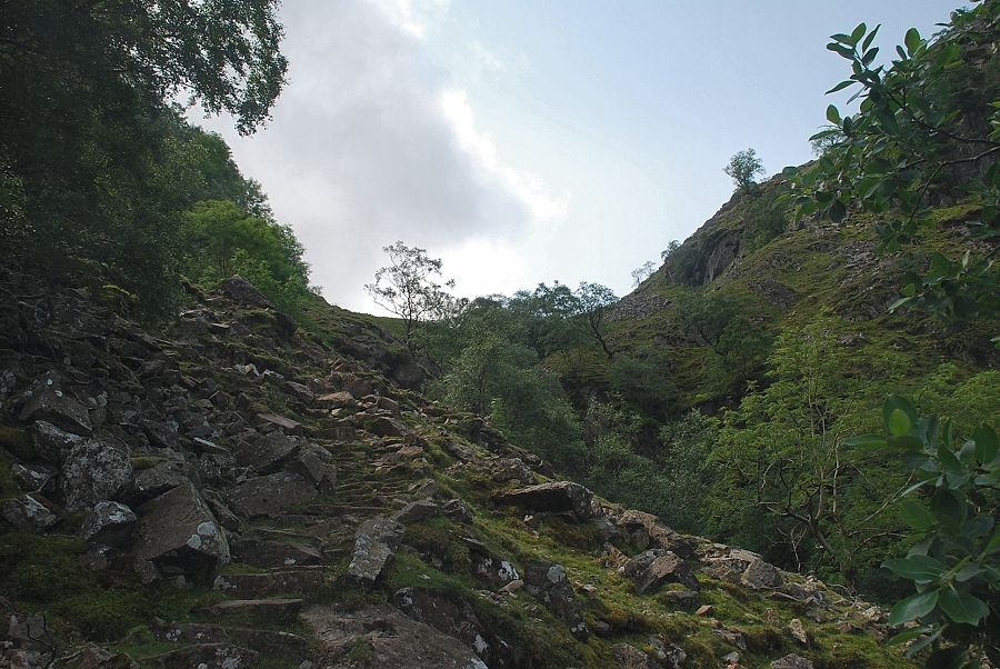
| Above the waterfall the path has been stone-pitched along the steeper sections of the climb |
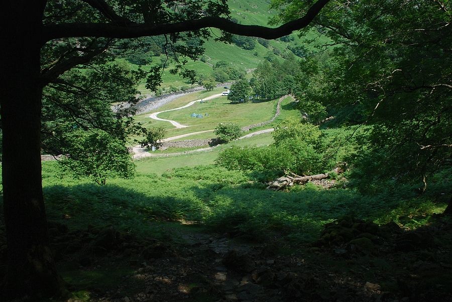 |
| Looking back to Stonethwaite Farm Campsite |
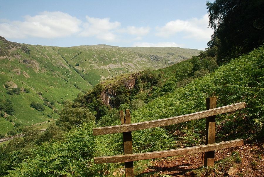 |
| Looking across to Coldbarrow Fell on Ullscarf |
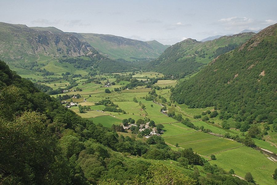 |
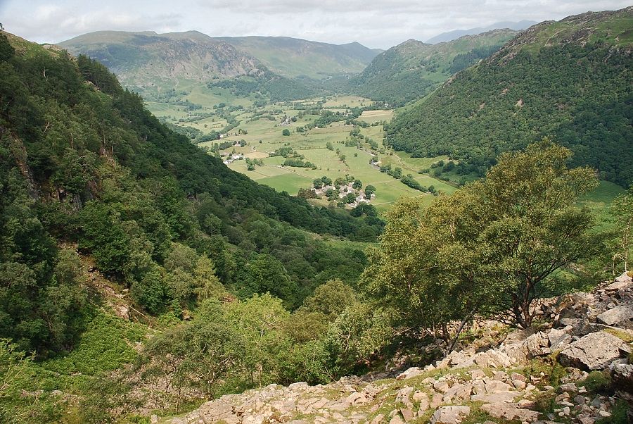
| Looking back to Stonethwaite and Borrowdale |
 |
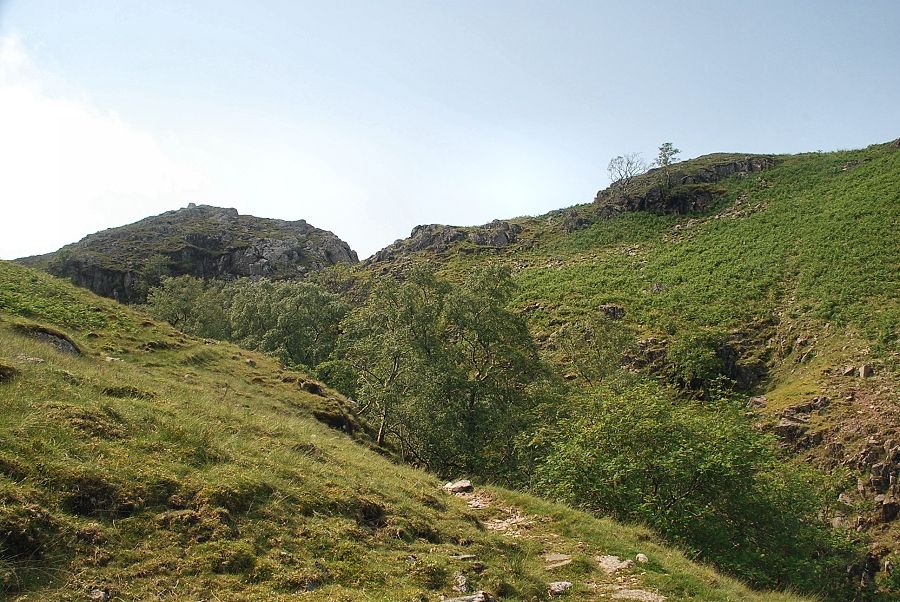
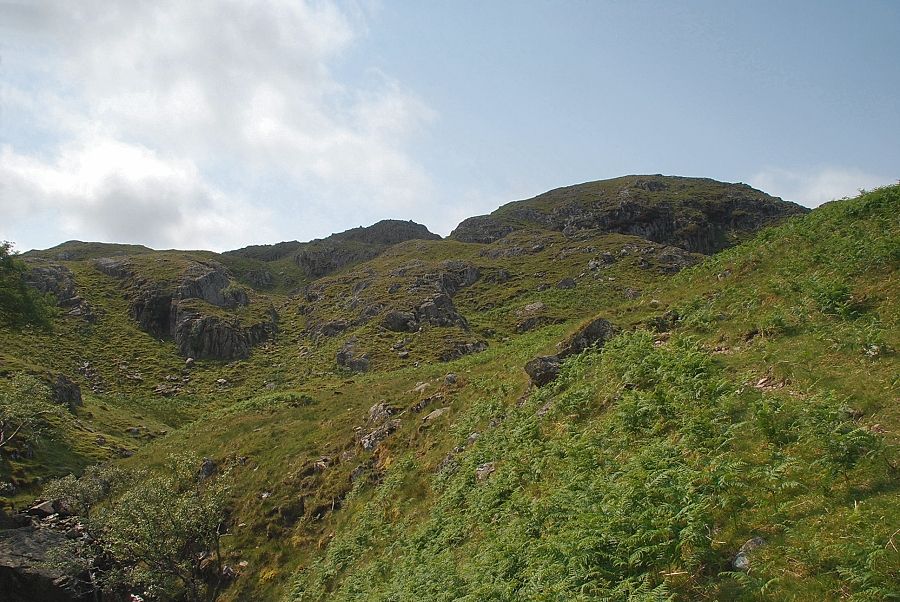
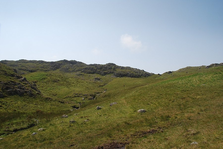
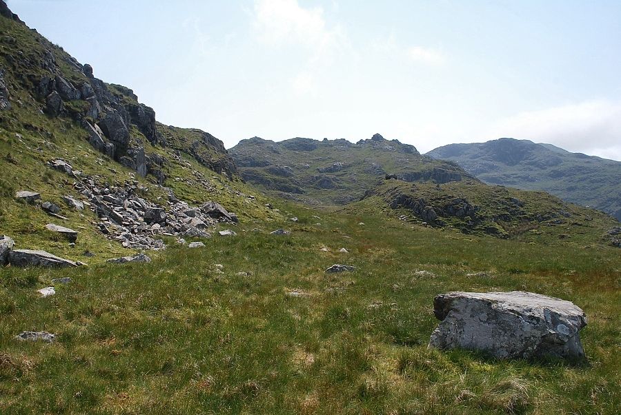
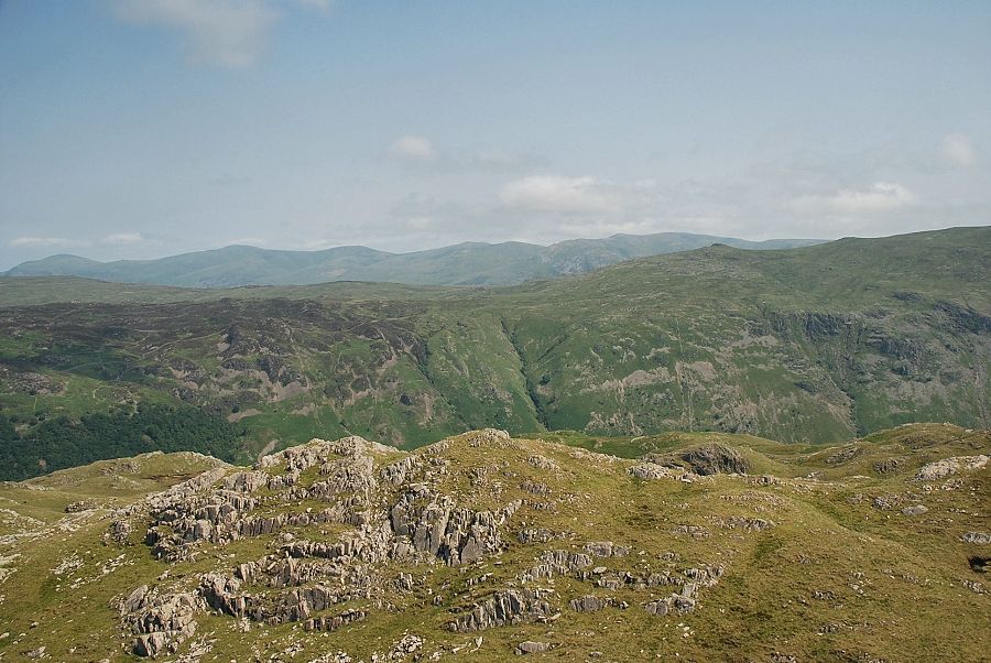
| After climbing 350ft the path reaches a clearing where the deep ravine of Big Stanger Gill comes into view |
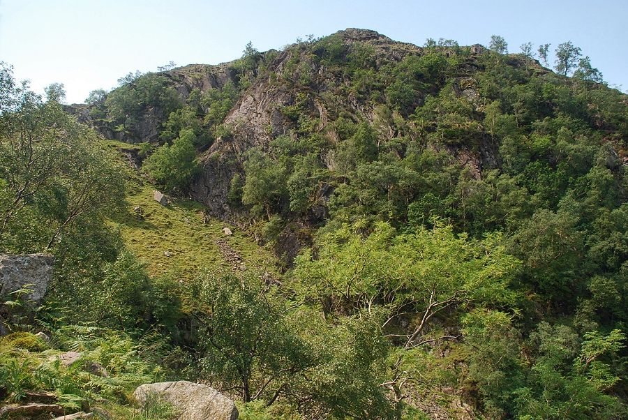 |
| Hanging Haystack on the other side of the ravine |
 |
| Looking across to High Crag |
 |
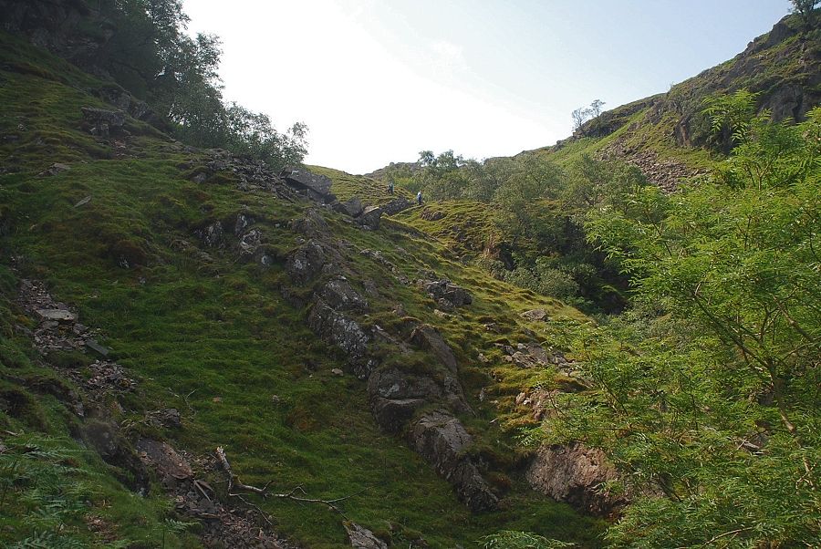
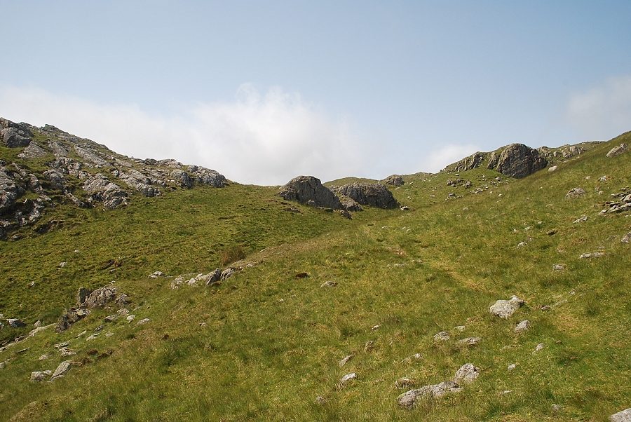
| The stone pitching resumes as the path begins to climb above the ravine |
 |
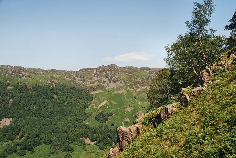
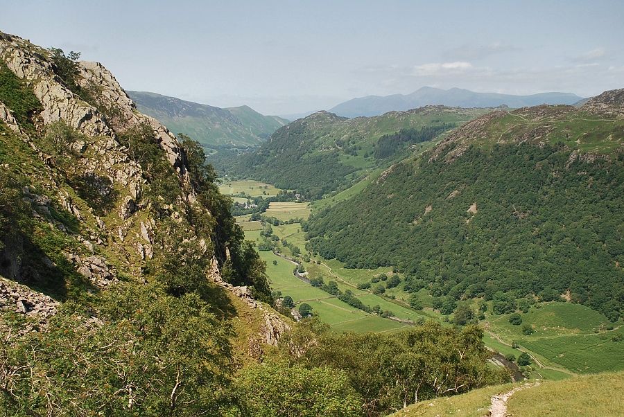
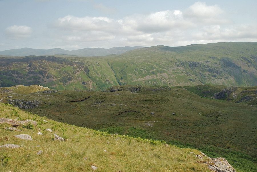
| Looking back to Borrowdale |
 |
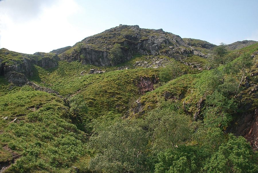
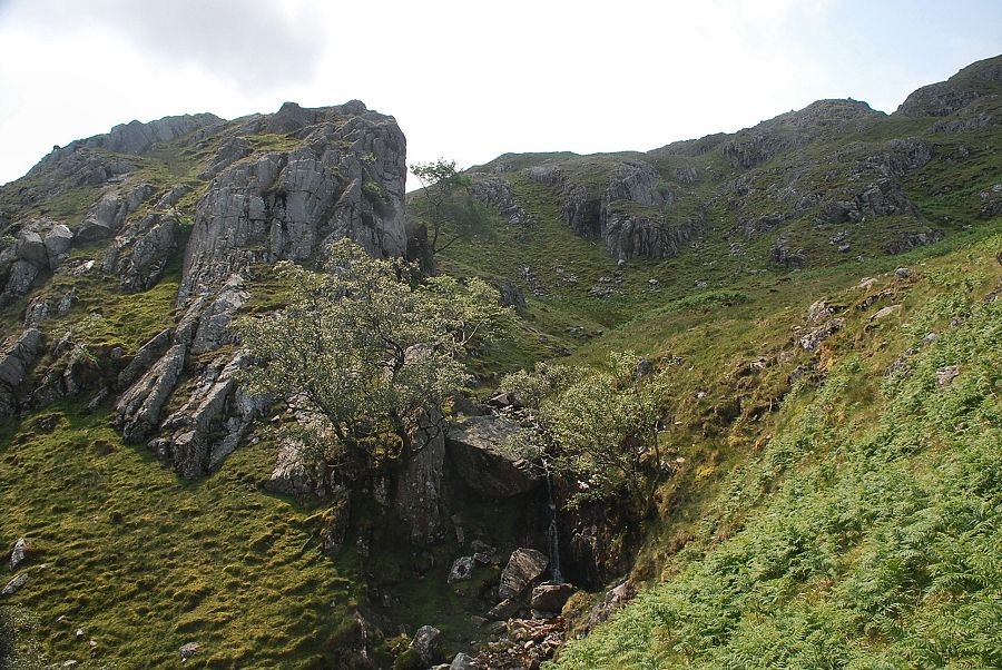
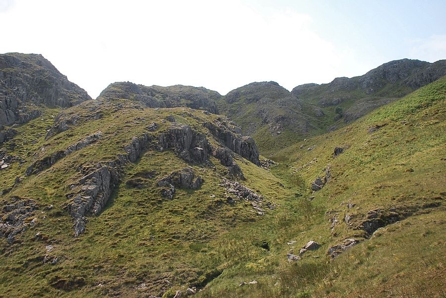
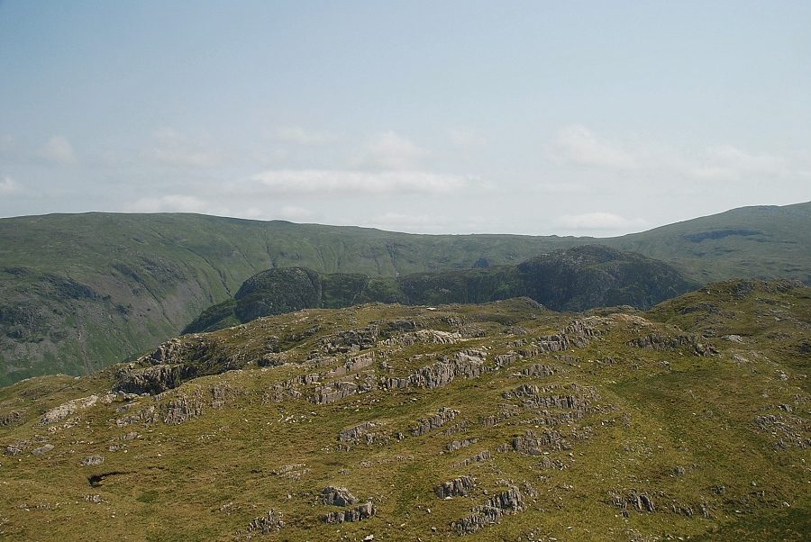
| Higher in the gill the path keeps close to the base of Bull Crag, seen here on the top left |
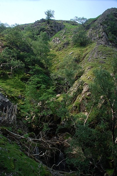 |
| Looking down into the ravine from the path below Bull Crag |
 |
| Looking back from Bull Crag |
 |
| Approaching the head of the ravine |
 |
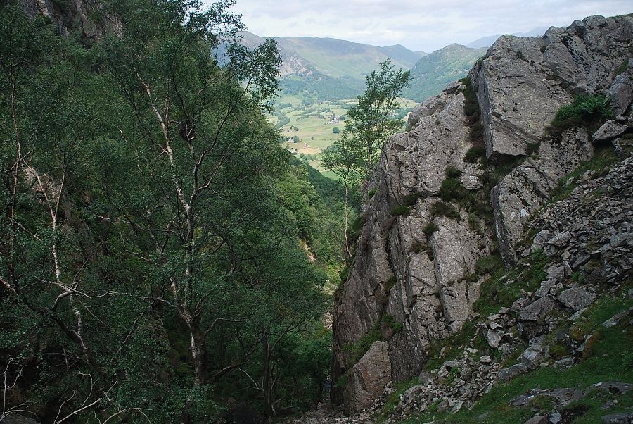
| Looking back across Hanging Haystack to Borrowdale |
 |
| At the head of the ravine the path continues to follow Big Stanger Gill as it turns to the west |
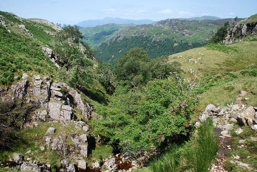 |
| Looking back from the head of the ravine |
 |
| The path crosses the gill below a small waterfall ......... |
 |
| ...... and continues along the north side of the gill |
 |
| Looking down on the crossing point |
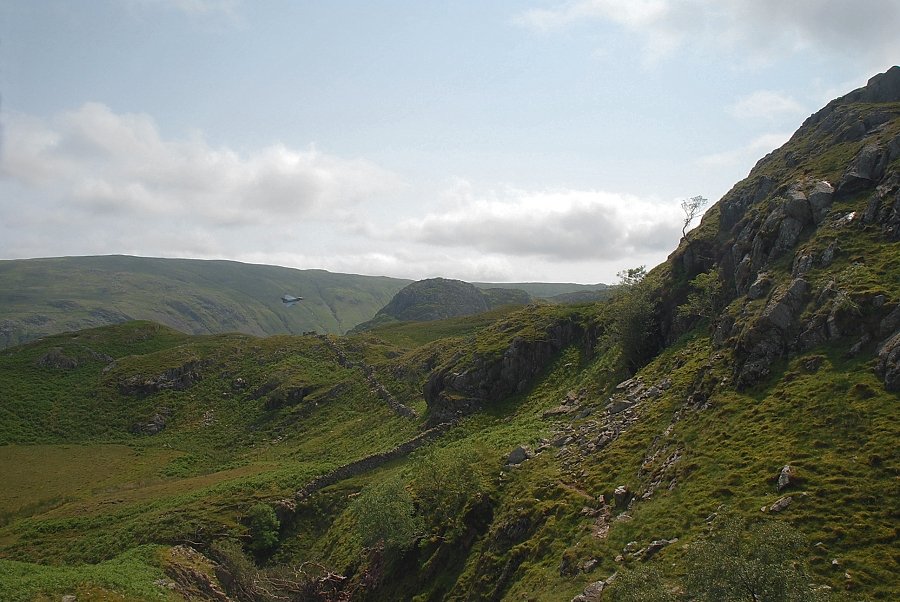 |
| A Eurofighter Typhoon turns to fly along Langstrath |
 |
| Bessyboot, the summit of Rosthwaite Fell comes into view as the path continues along the north side of the gill |
 |
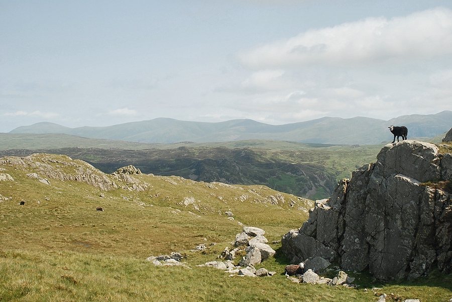
| Looking across to the rugged tops of Racom Bands which lie to the east of the summit |
 |
| Looking back to the Helvellyn Dodds on the distant horizon |
 |
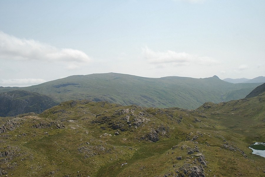
| Approaching the col on the summit ridge between Bessyboot on the left and High Knott on the right |
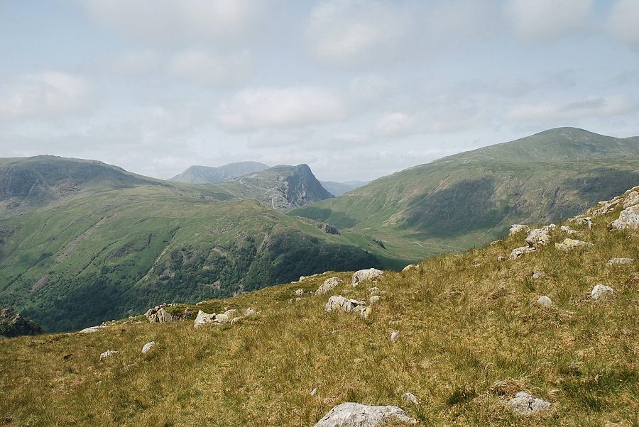 |
| On reaching the col the view opens out towards Fleetwith Pike in the centre with Grey Knotts on the left and Dale Head on the right |
 |
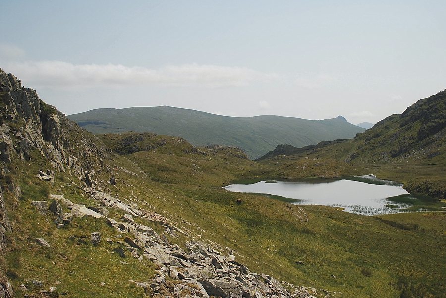
| The path skirts around a marsh which is the source of Big Stanger Gill and climbs the slope beyond it to the right of Bessyboot. The distinctive rocky peak of Rosthwaite Cam appears in the centre of the photo |
 |
| Looking back to Clough Head and the Helvellyn Dodds on the horizon |
 |
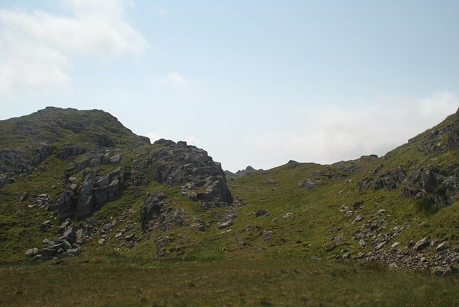
| The top of Bessyboot can be reached by a pathless ascent of its steep north-western slope, seen here on the left beyond the wall of crags ....... |
 |
| ....... but it's much easier to continue on a faint path below its western slopes until ....... |
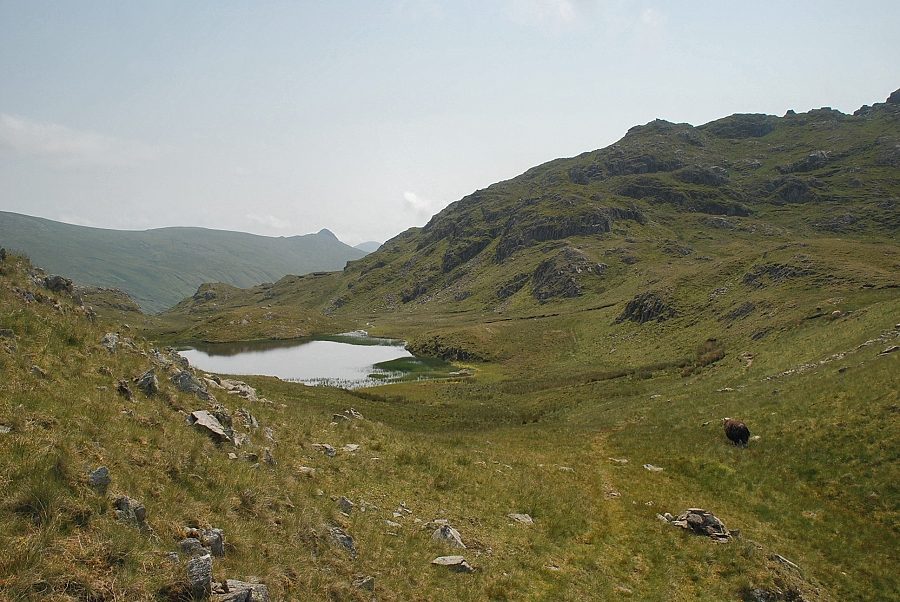 |
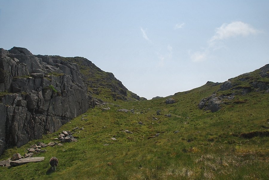
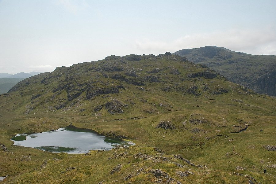
| ..... Tarn at Leaves comes into view. A marker cairn at this point indicates the start of a clear path which climbs the south-west slope of Bessyboot |
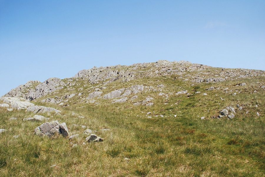 |
| The south west approach to Bessyboot |
 |
| High Raise and Pike o' Stickle over Tarn at Leaves |
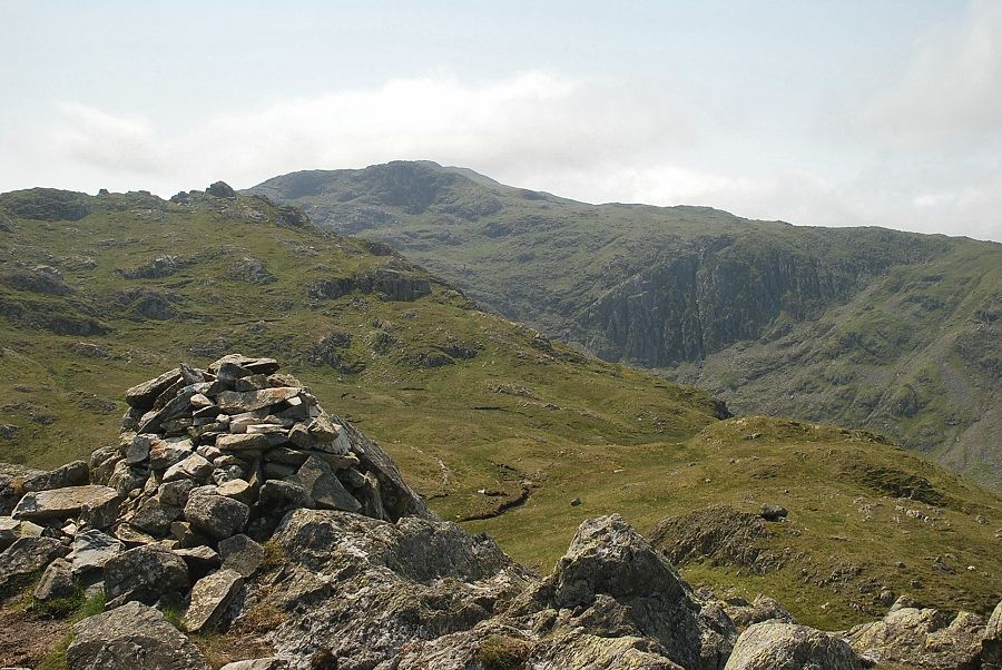 |
| The summit cairn on Bessyboot, looking towards Rosthwaite Cam and Glaramara |
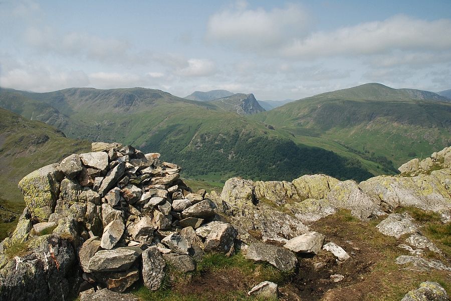 |
| Grey Knotts, Fleetwith Pike and Dale Head from the summit of Bessyboot |
 |
| To the north-west, Dale Head, Hindscarth, Eel Crag, Sail, High Spy, and Maiden Moor |
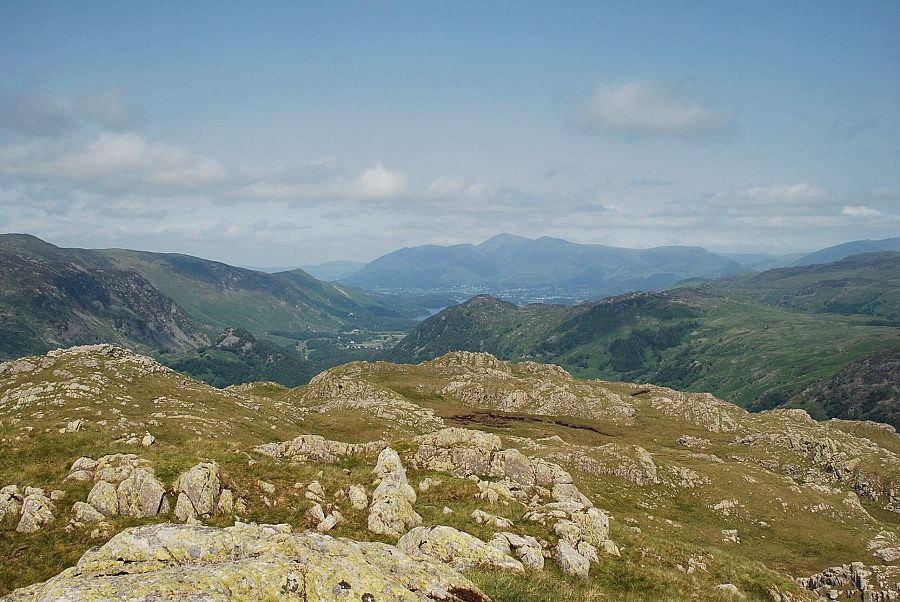 |
| Skiddaw from the summit of Bessyboot |
 |
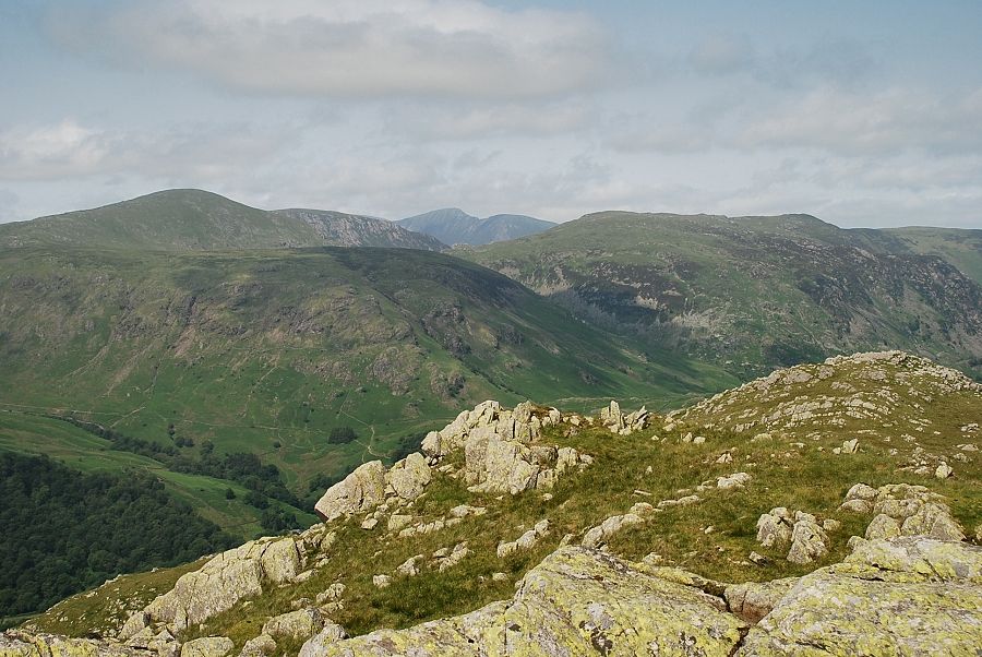
| To the north-east, Clough Head, Great Dodd, Stybarrow Dodd, Raise, White Side, Helvellyn and Nethermost Pike form the horizon |
 |
| Looking over Racom Bands to Eagle Crag and Sergeant's Crag with Ullscarf on the left skyline |
 |
| High Raise, Thunacar Knott and Pike o' Stickle from the summit of Bessyboot |
 |
| Tarn at Leaves from the summit of Bessyboot |
|