
| Scafell - Route One |
| Start - Wasdale Head NY 181 074 | Distance - 2.3 miles | Ascent - 2,917 feet | Time - 2 hours : 54 minutes |
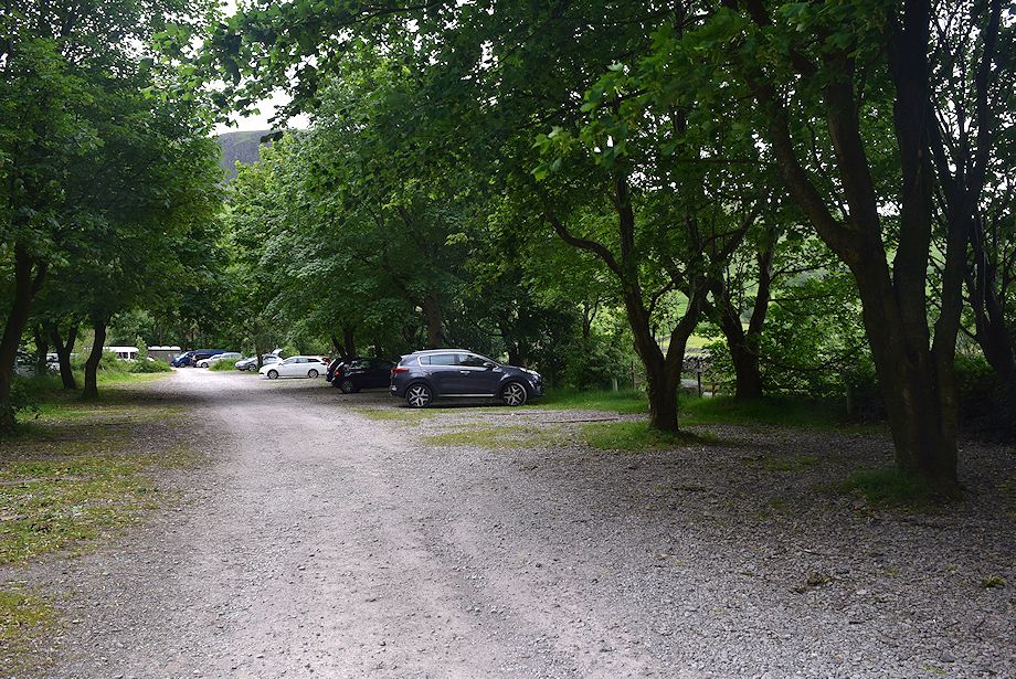 |
| The National Trust car park which is adjacent to the campsite is the starting point for this walk |
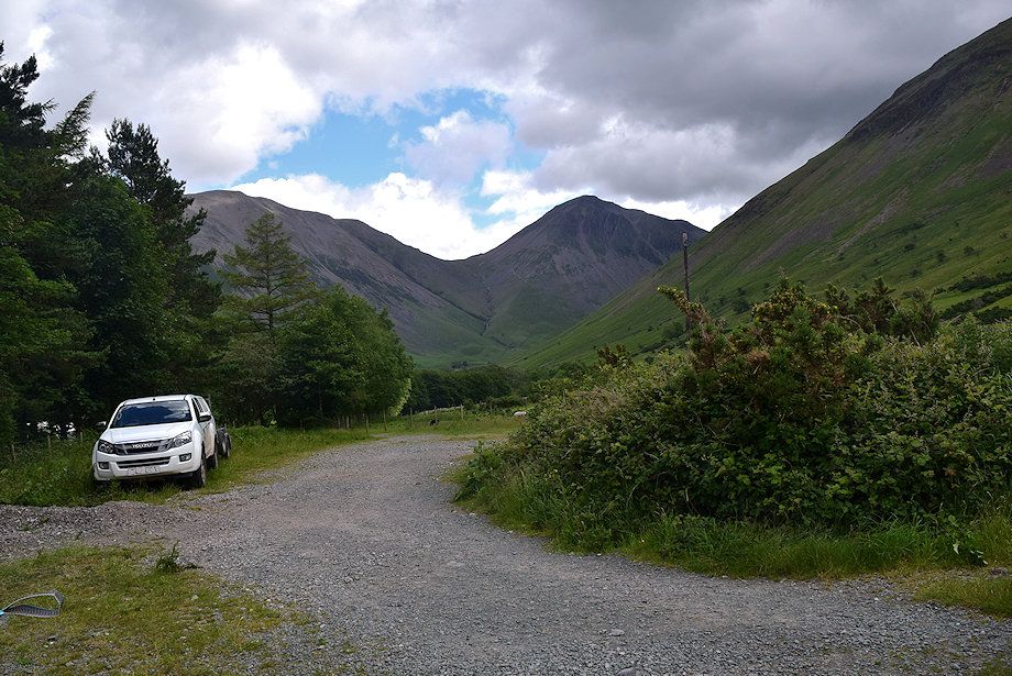 |
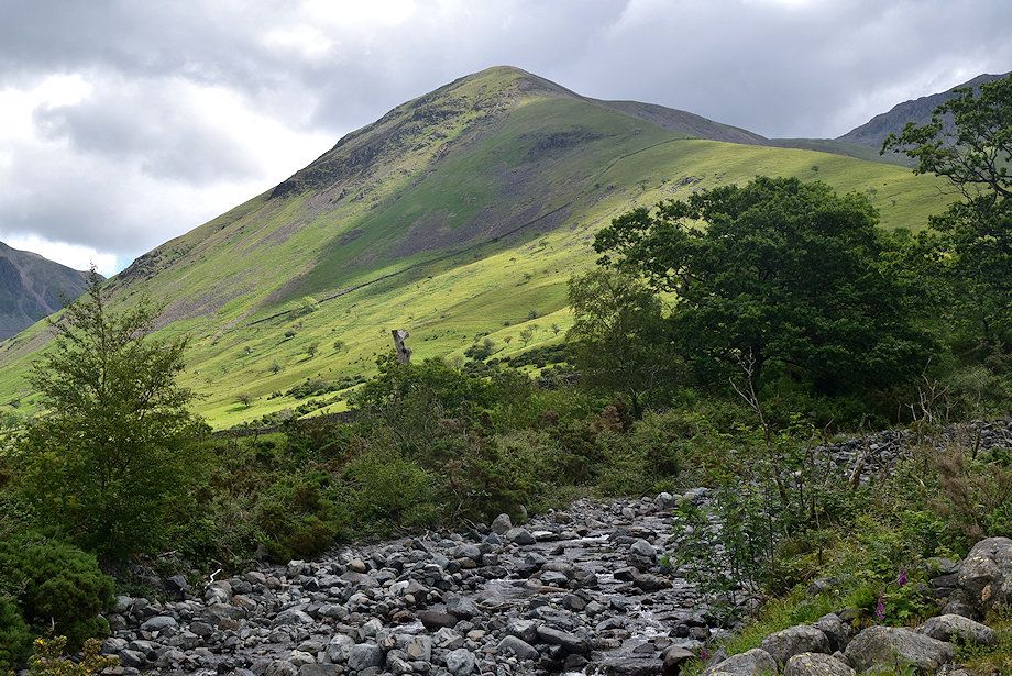
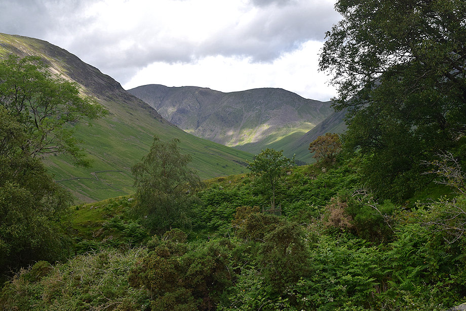
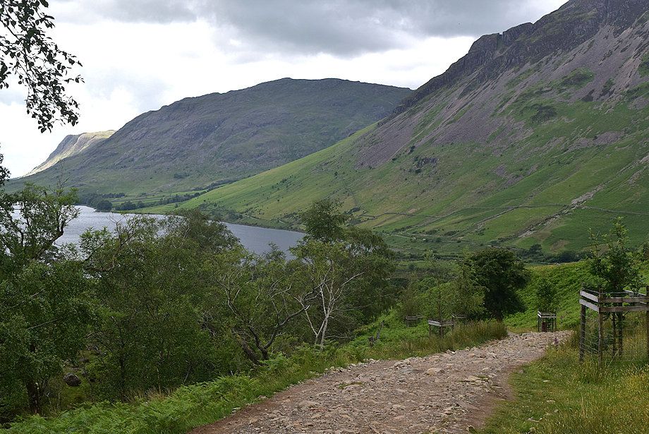
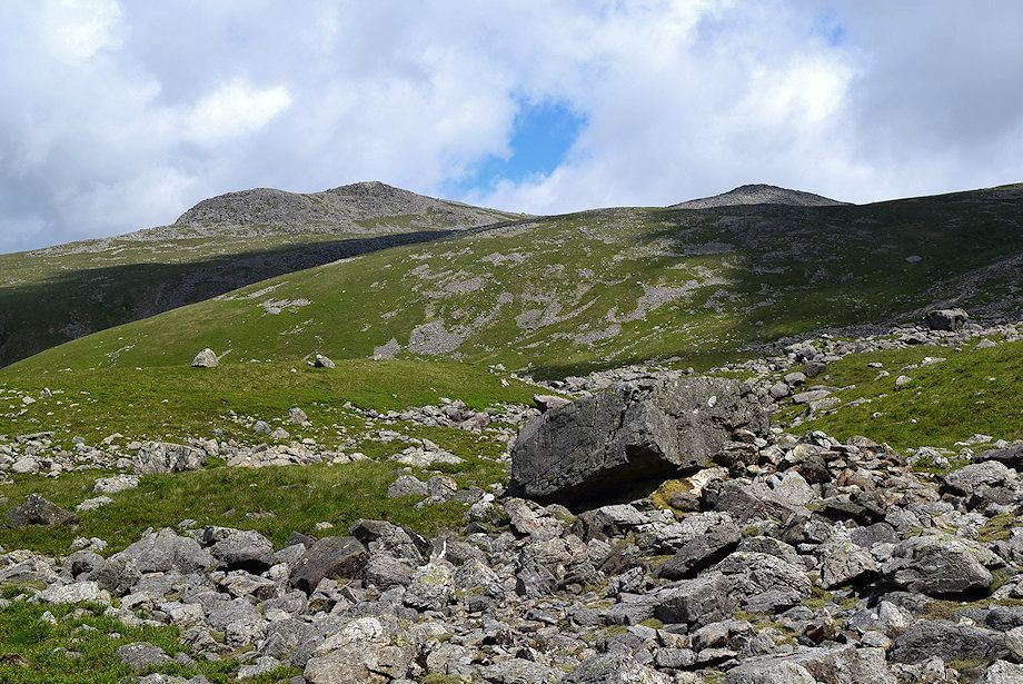
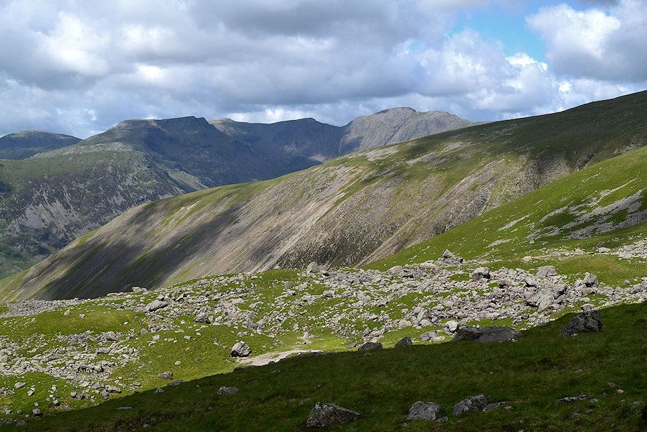
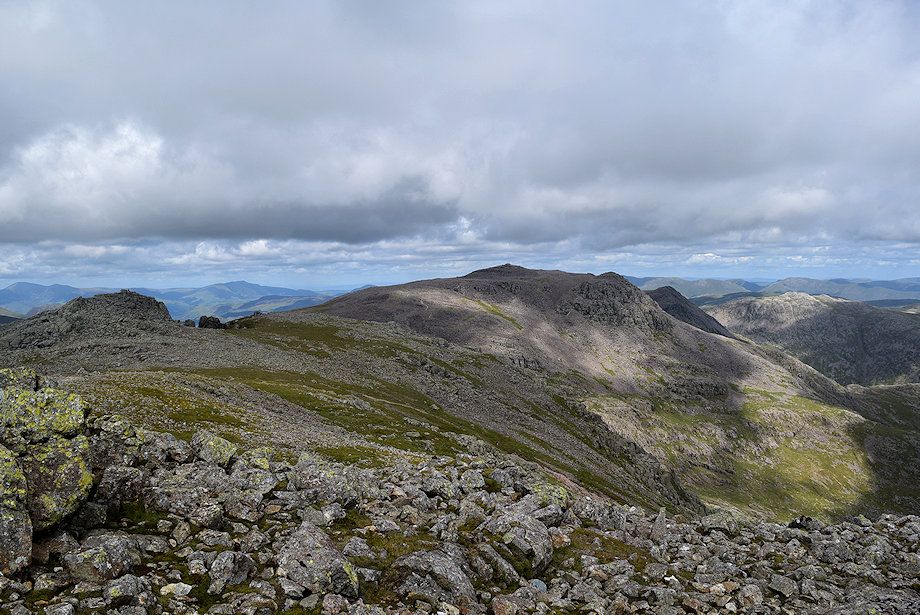
| Kirk Fell and Great Gable from the Mountain Rescue vehicles' parking area |
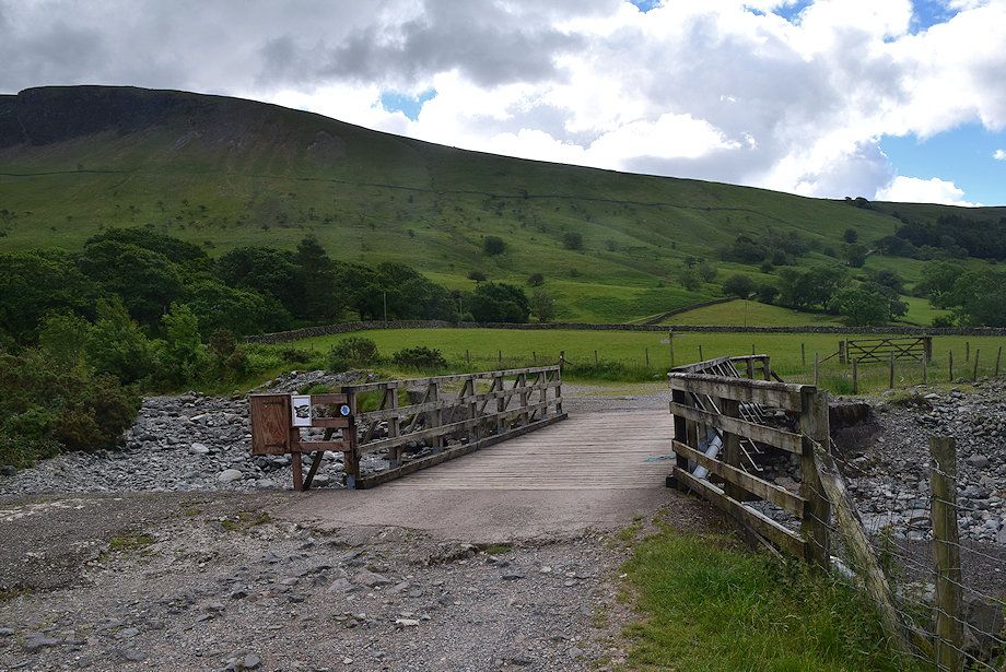 |
| Cross the wide bridge which spans Lingmell Gill |
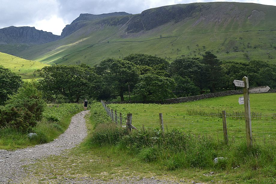 |
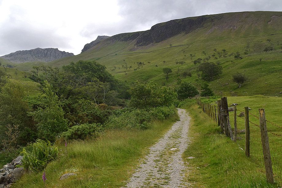
| Follow the old Corpse Road track which is signed for Eskdale and Miterdale. The track soon splits - keep left at the fork and follow a permissive path which avoids Brackenclose, the Fell and Rock Climbing Club hut, set in its wooded enclosure |
 |
| Lingmell across Lingmell Gill |
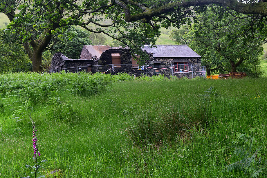 |
| Passing Brackenclose which was badly damaged by a fire in April 2019 |
 |
| The permissive path runs alongside Lingmell Gill towards a footbridge where it joins a Right of Way path |
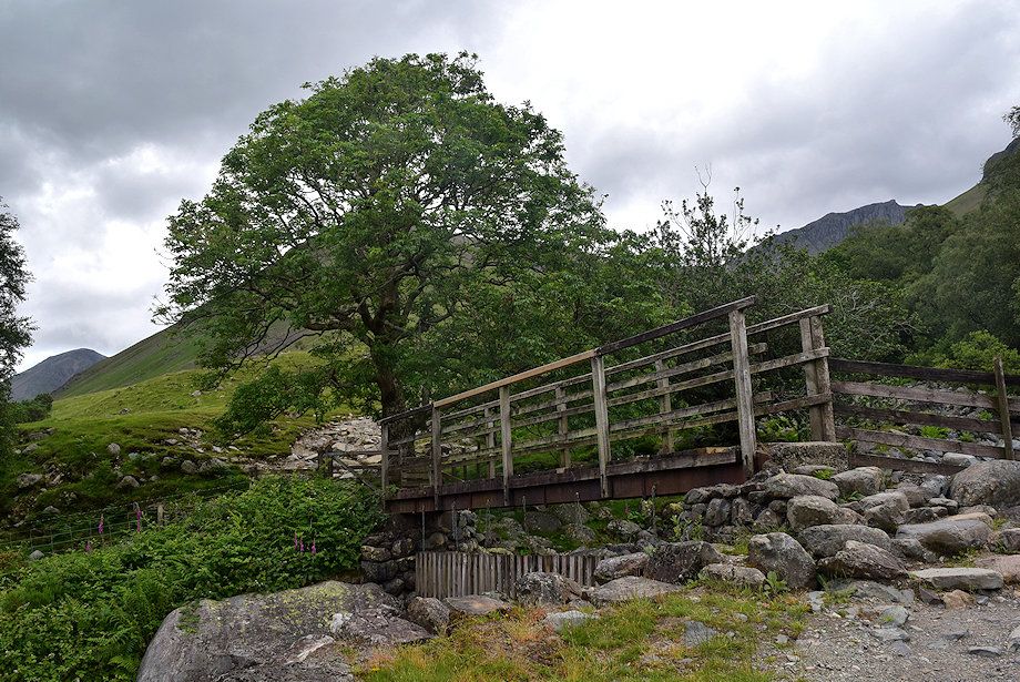 |
| The footbridge over Lingmell Gill |
 |
| Looking over towards Pillar from the footbridge |
 |
| Over the footbridge the path rises to a handgate where it is joined by a permissive path which comes up directly from the campsite |
 |
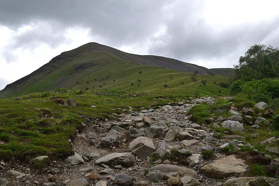
| Scafell Pike and Scafell from the handgate |
 |
| Looking back to Wast Water from the handgate |
 |
| The path continues above the tree shrouded Lingmell Gill ravine towards a handgate in the intake wall |
 |
| Looking back from the path alongside the Lingmell Gill ravine |
 |
| The gate in the intake wall which gives access to the open fellsides |
 |
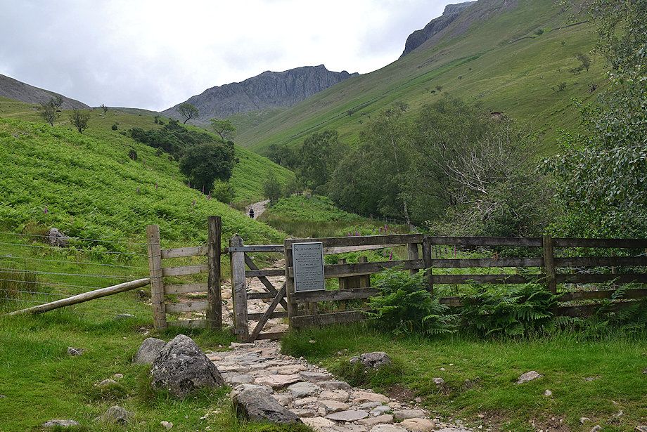
| Shortly before reaching the gate another path joins from the left this one comes up from the large parking area on Wasdale Head Green |
 |
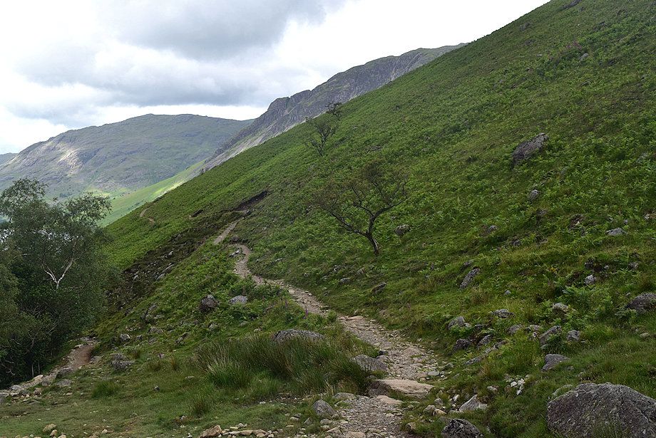
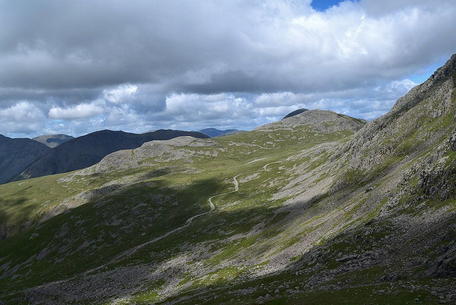
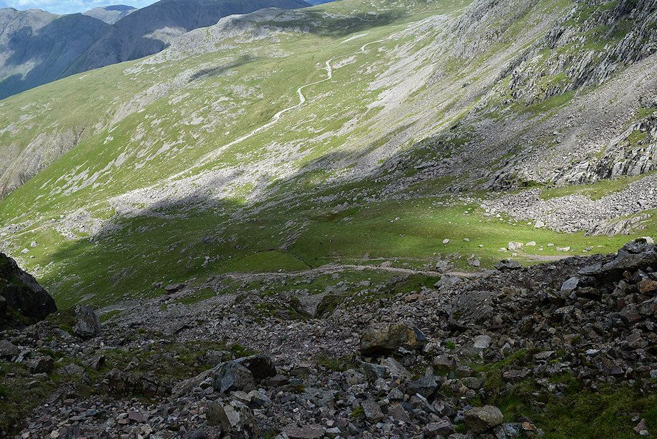
| The path continues to climb steadily towards Brown Tongue |
 |
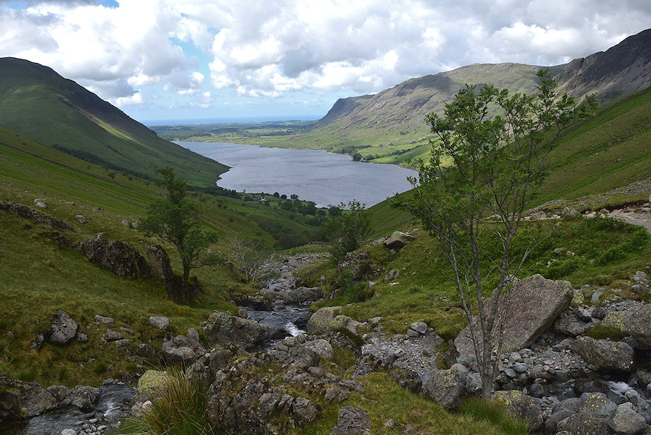
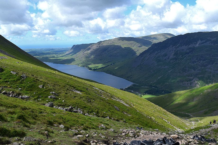
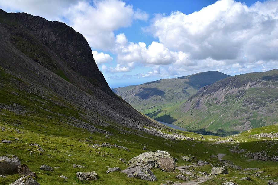
| Looking back to Wast Water, flanked by Illgill Head on the left with Buckbarrow and Middle Fell on the right |
 |
| Lingmell Gill is crossed just beyond its confluence with an unnamed stream |
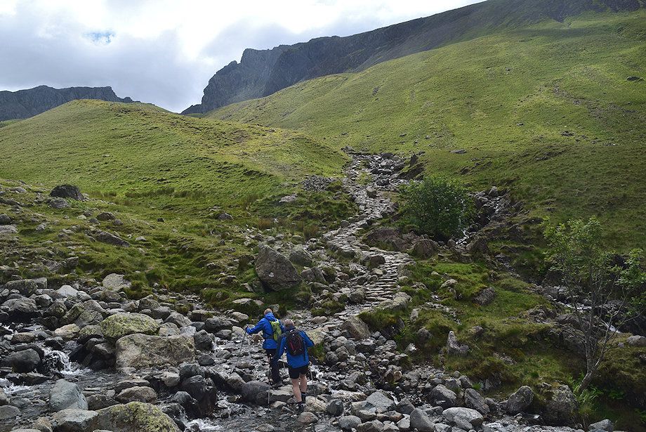 |
| The crossing point over Lingmell Gill which can be difficult if the stream is in spate |
 |
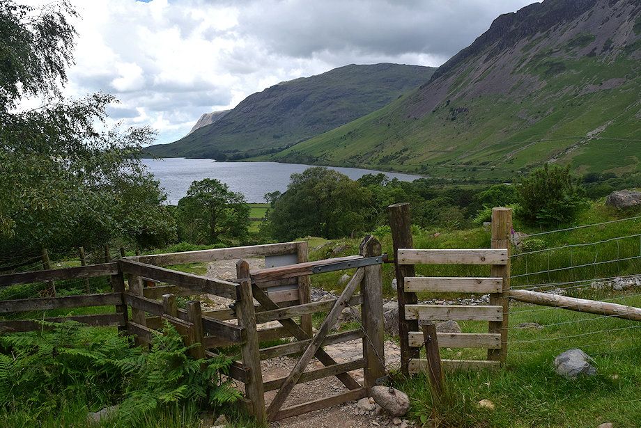
| Wast Water from the crossing point over Lingmell Gill |
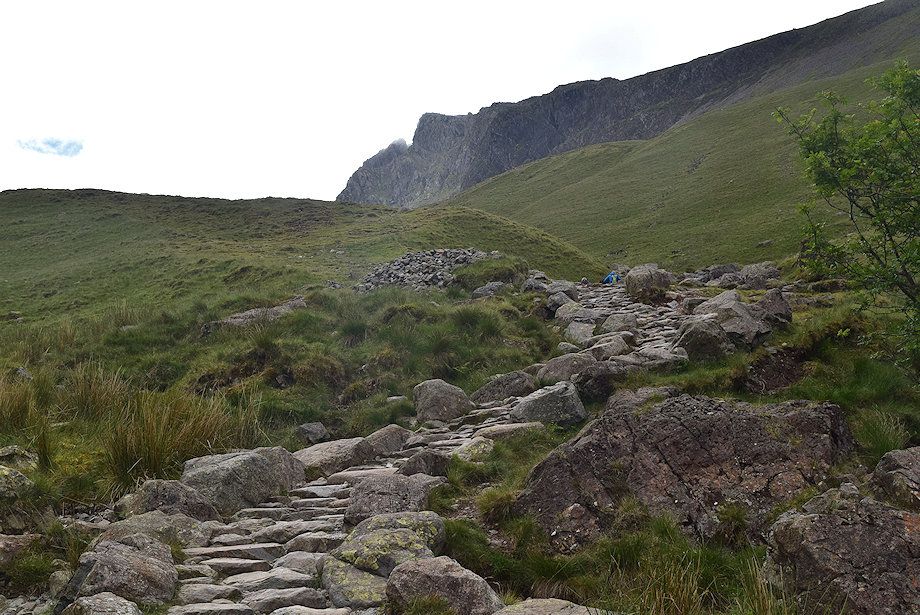 |
| In AW's day the original path climbed directly over Brown Tongue and had become badly eroded. A 'new' stone-pitched path has been constructed which runs along the southern flank of Brown Tongue following the course of the unnamed stream |
 |
| Looking back to the crossing point over Lingmell Gill |
 |
| The Brown Tongue path alongside the unnamed stream |
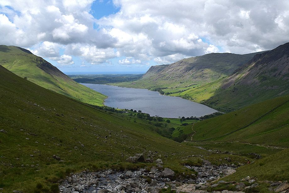 |
| Looking back to a sunlit Wast Water from the Brown Tongue path |
 |
| Yewbarrow and Red Pike across the Lingmell's west ridge |
 |
| Higher on the Brown Tongue path |
 |
| Zooming in on Scafell Crag |
 |
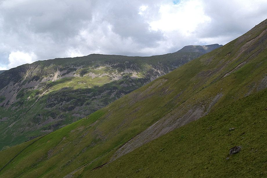
| Looking back to Buckbarrow, Middle Fell, Seatallan and Yewbarrow |
 |
| The summit of Haycock appears over the ridge between Yewbarrow and Red Pike |
 |
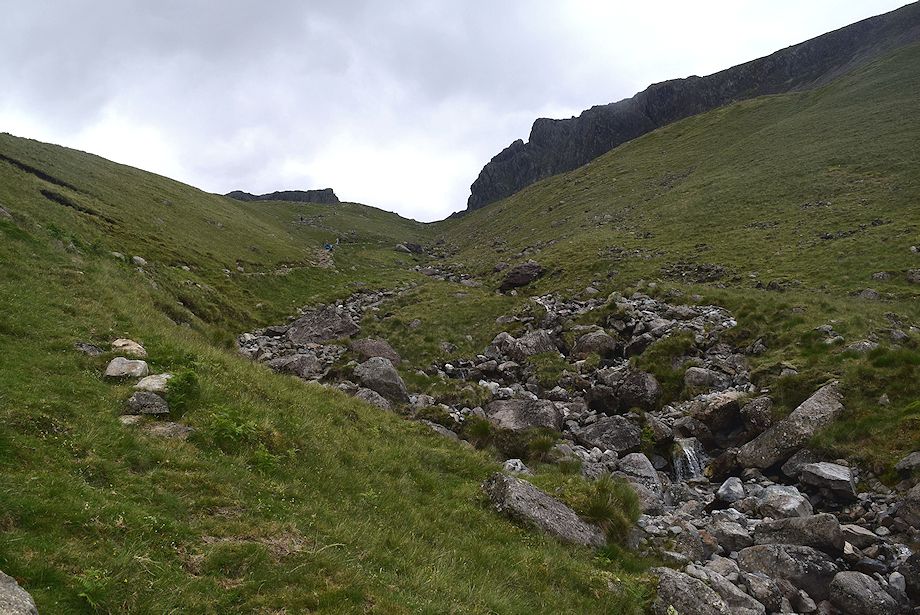
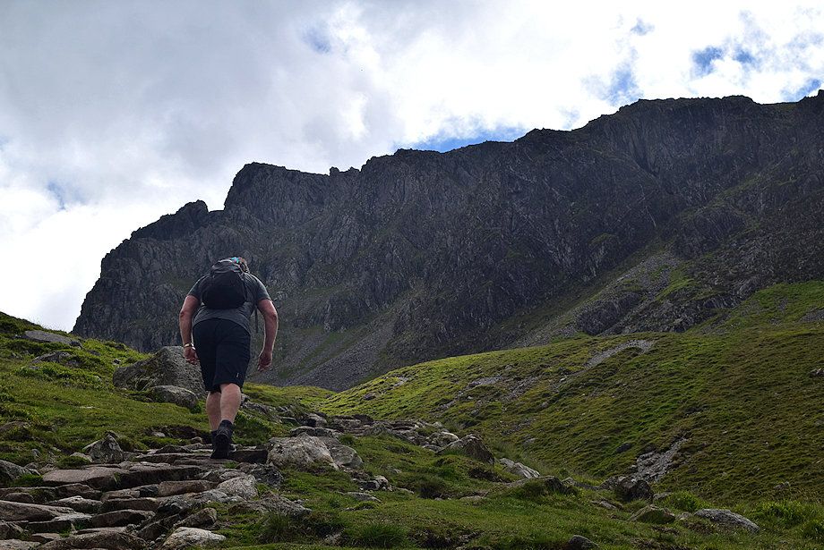
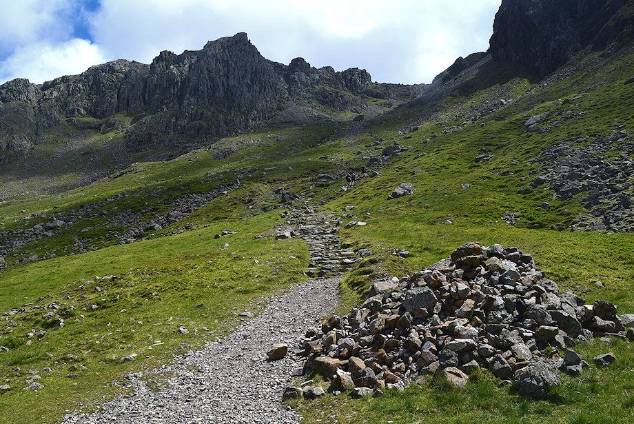
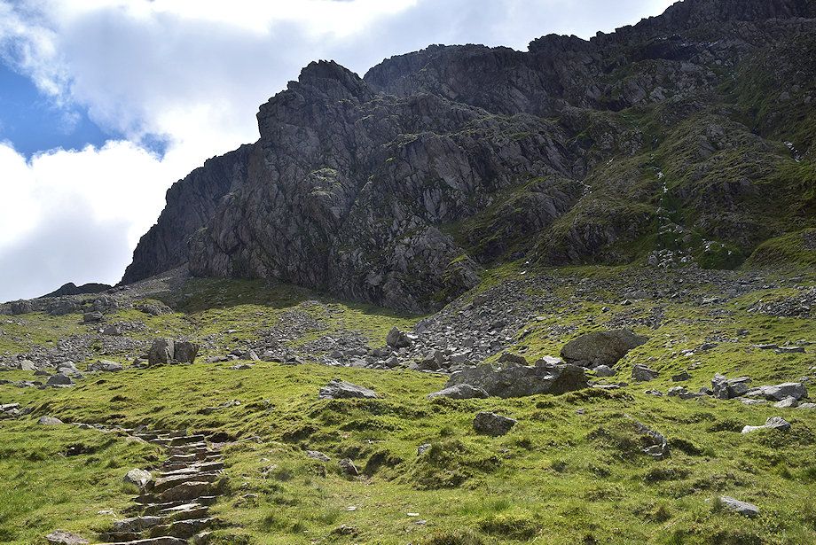
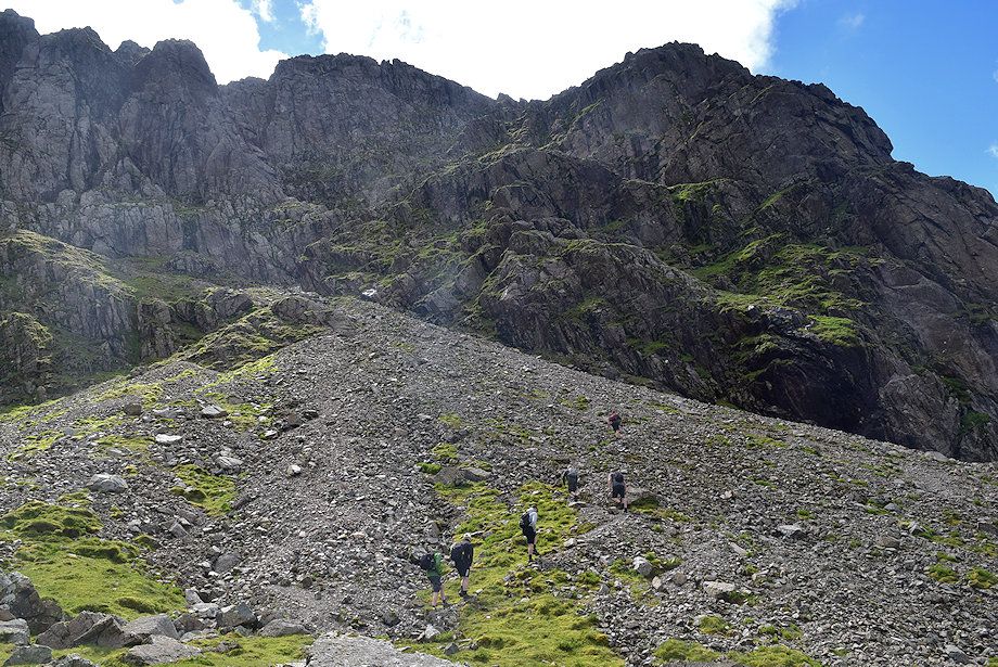
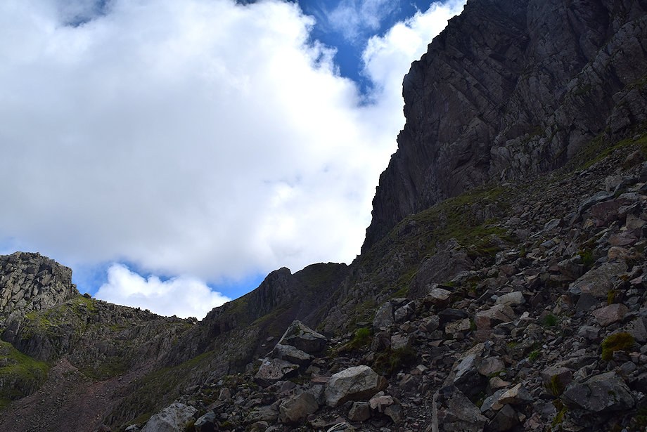
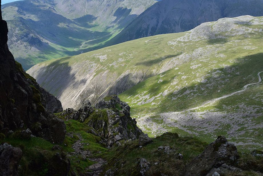
| At the top of Brown Tongue where the path divides, bear right towards Mickledore. The left branch continues via Hollow Stones to ascend Scafell Pike via the north-west ridge, commonly known as the 'tourist path' |
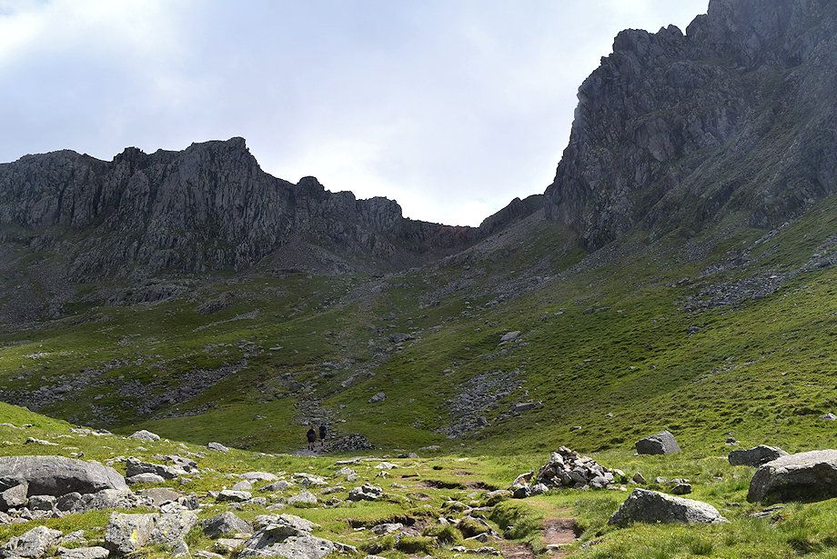 |
| The path descends slightly and crosses a shallow combe |
 |
| Looking across Hollow Stones to the summit ridge of Lingmell |
 |
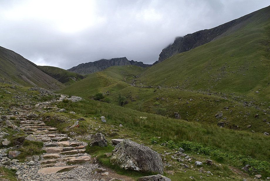
| The stone-pitching of the path resumes as it begins to climb to the upper combe below Mickledore |
 |
| Looking back across Rakehead Crag to Middle Fell and Seatallan |
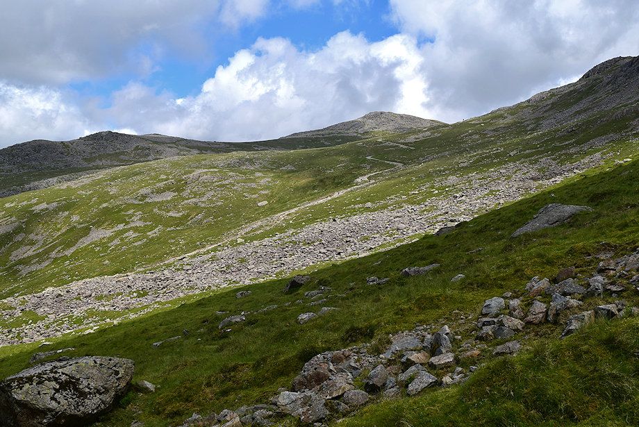 |
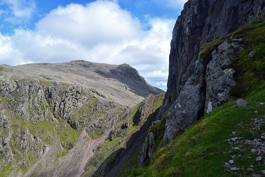
| Looking over to the 'tourist path' which can be seen zig-zagging towards Lingmell Col and the Scafell Pike's north-west ridge |
 |
| Red Pike, Scoat Fell and Pillar over Lingmell's west ridge |
 |
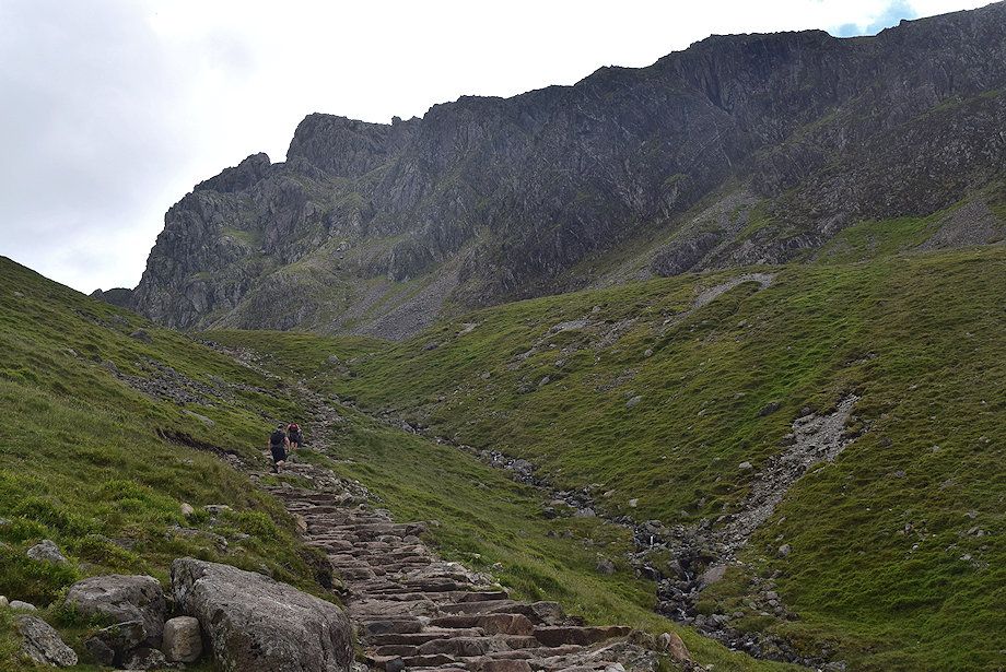
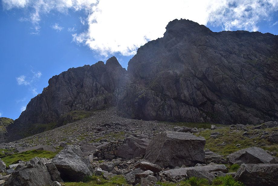
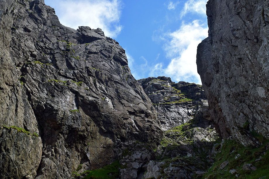
| Shamrock and Scafell Crag from the path to Mickledore |
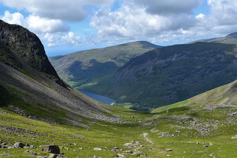 |
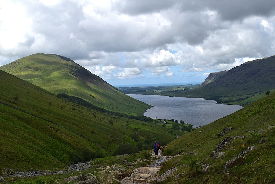
| Looking back to Wast Water from the path to Mickledore |
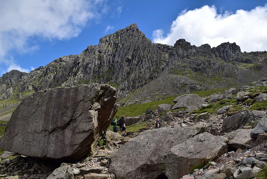 |
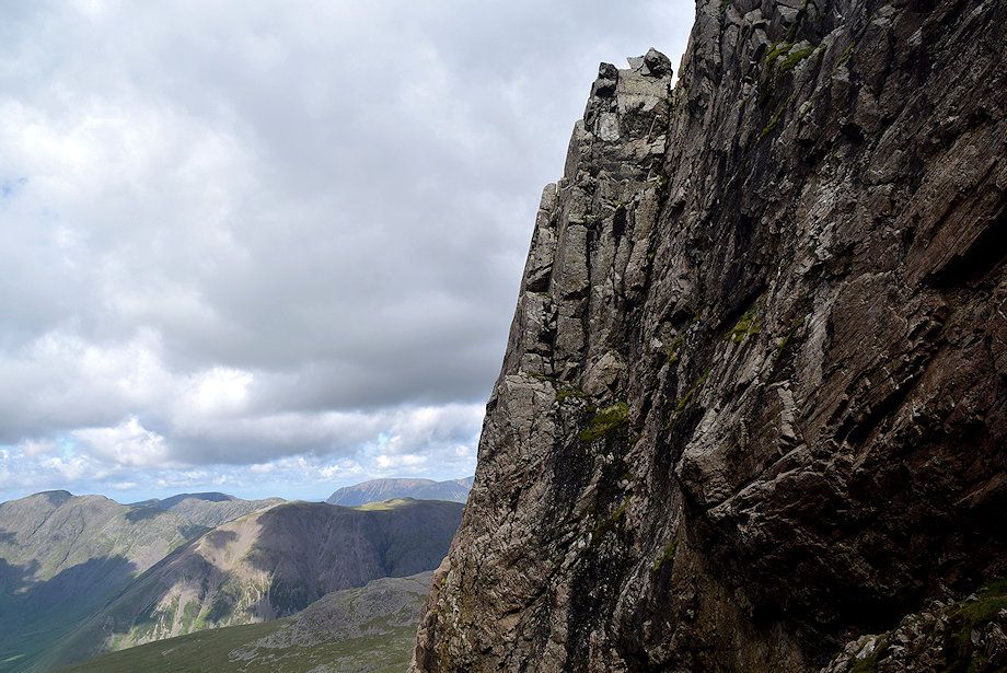
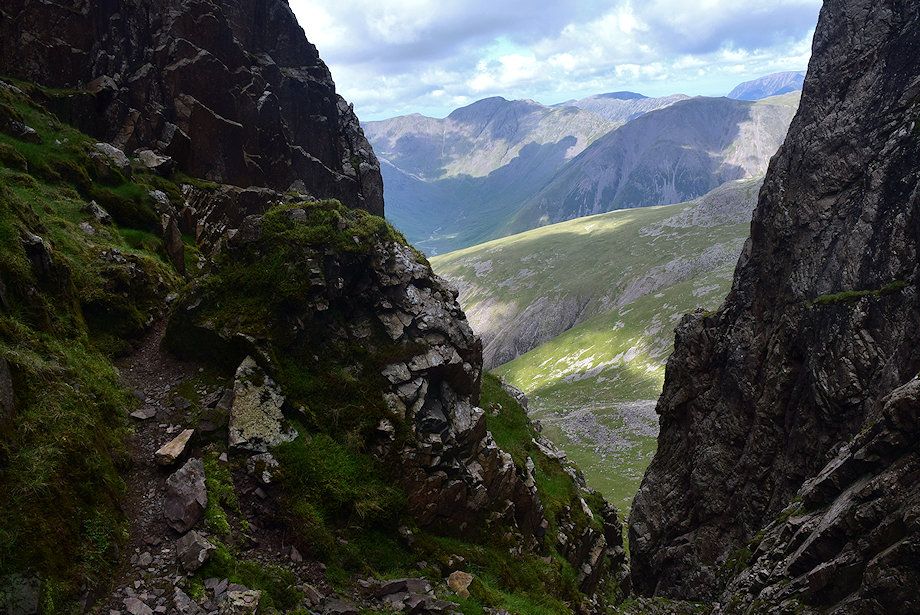
| Pikes Crag, Pulpit Rock and Mickledore Buttress from the 'big boulder' which AW noted in his diagram of this ascent |
 |
|
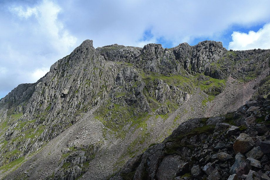
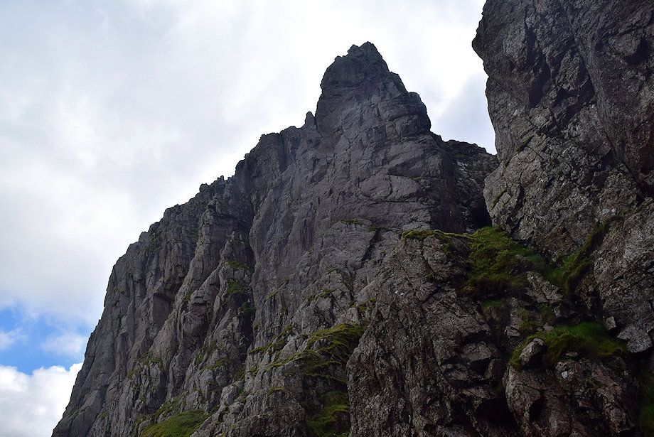
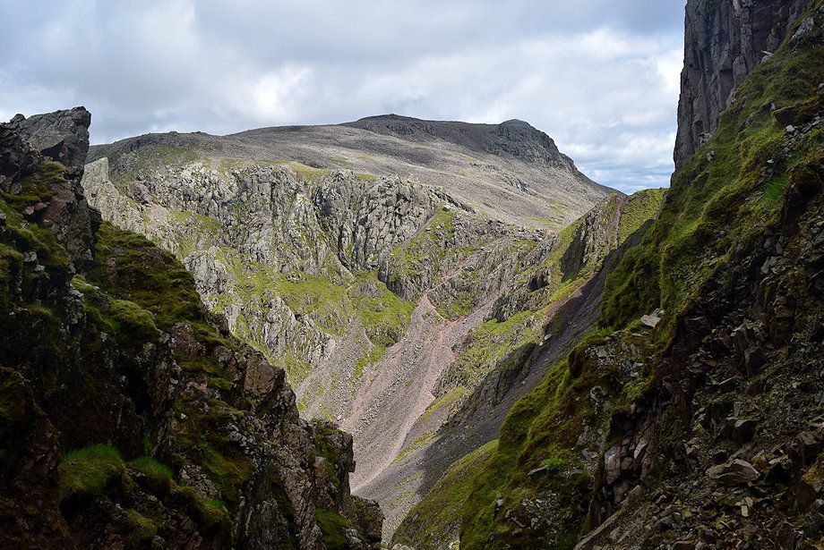
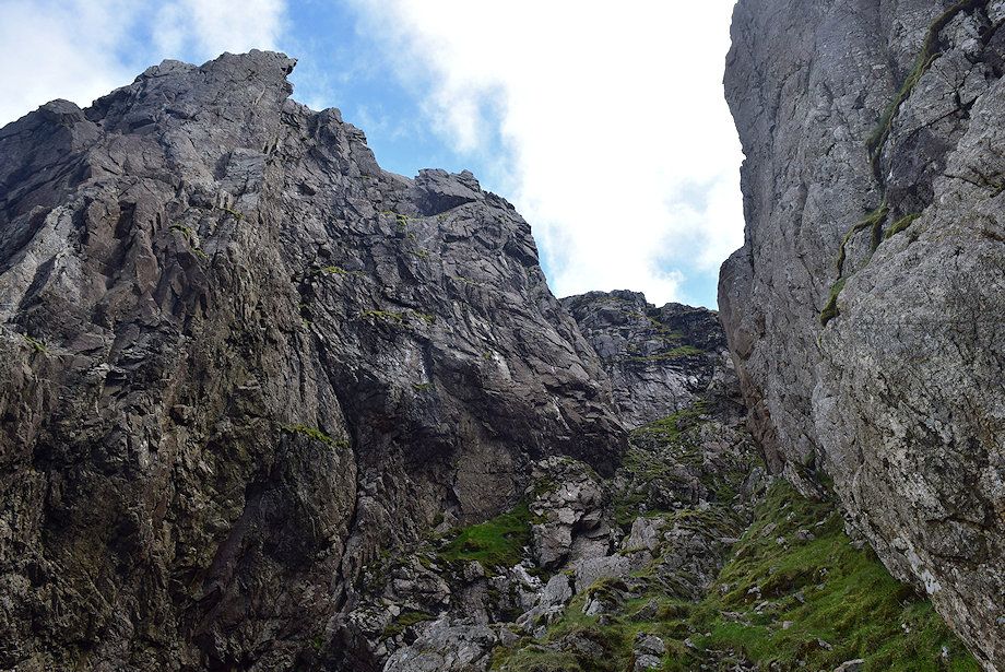
Looking up to Scafell Crag from the big boulder. The crag is best viewed during early evening in summer when the sun throws all its features into sharp relief. With the sun directly ahead, as now, they are more difficult to pick out. From the left - Botterill's Slab, Central Buttress, Moss Gill, Pisgah Buttress, Steep Gill and the Pinnacle, completely separated at its top from the main body of the fell with its own summits of Low and High Man. The huge cleft to the right of the Pinnacle is Deep Gill with Deep Gill Buttress to its right. Much of the right hand end of the crag is hidden by Shamrock, separated from the main crag by Lord's Rake, which will be used to access Deep Gill via the West Wall Traverse. Lord's Rake is accessed by the scree slope on the left |
 |
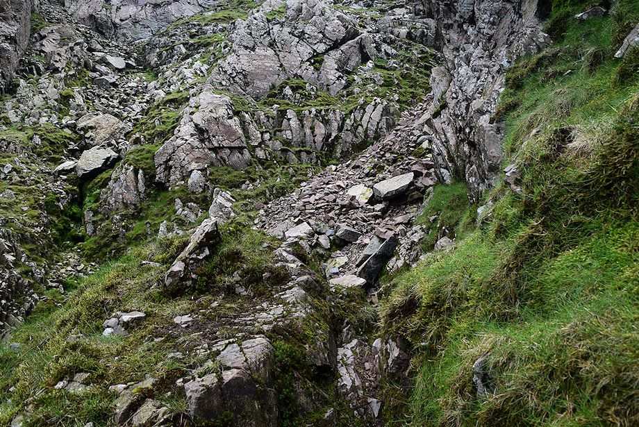
| The scree path leading up the start of Lord's Rake |
 |
| Seatallan and Yewbarrow across Shamrock from the scree path |
 |
| Looking over to Mickledore from the scree path |
 |
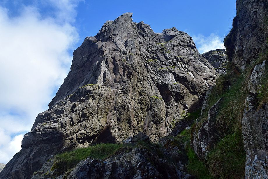
| Pulpit Rock and Mickledore Buttress, the latter provides the best views of Scafell Crag |
 |
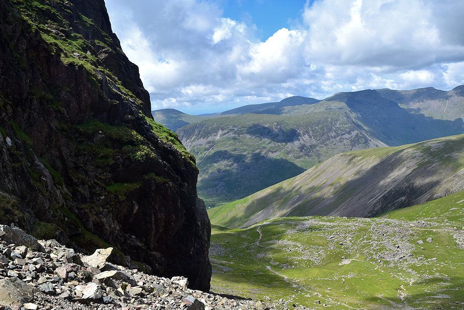
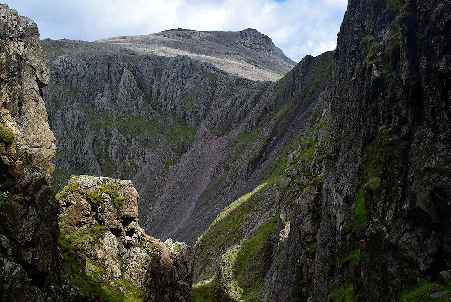
| The summit of Great Gable appears over the top of Lingmell |
 |
| Looking up to the rock climbs of Botterill's Slab, Central Buttress and Moss Gill Grooves |
 |
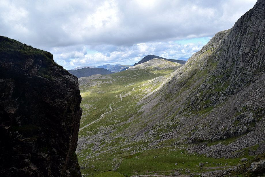
| Looking down the scree slope |
 |
|
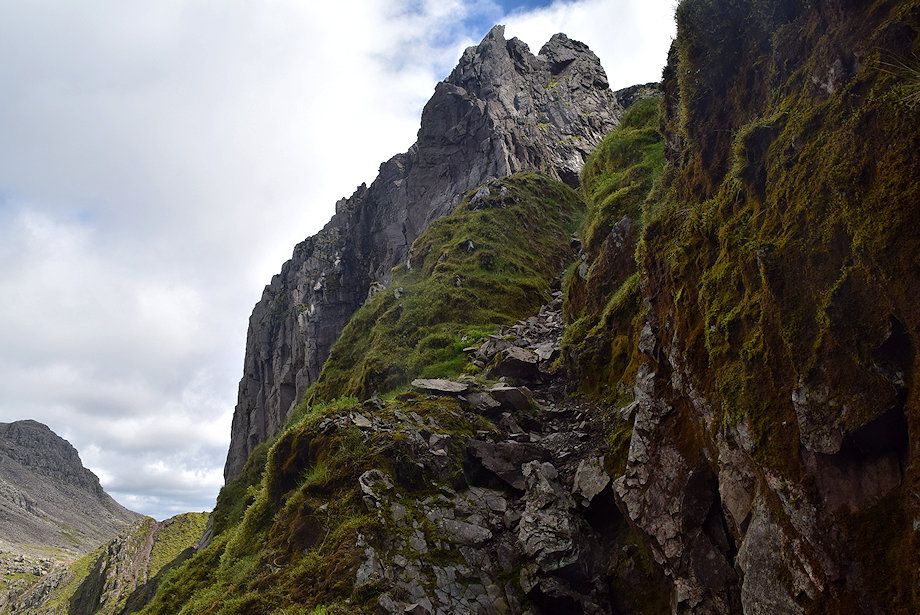
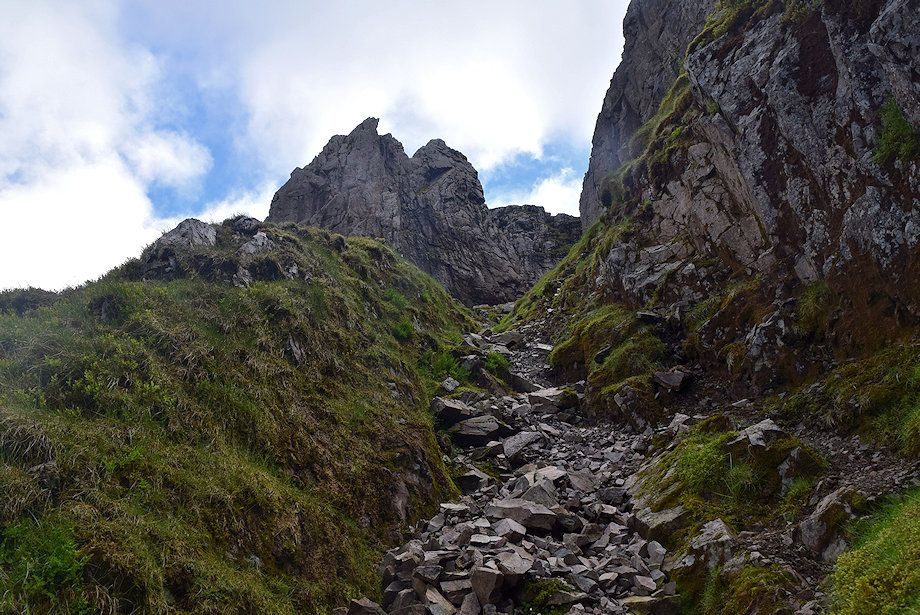
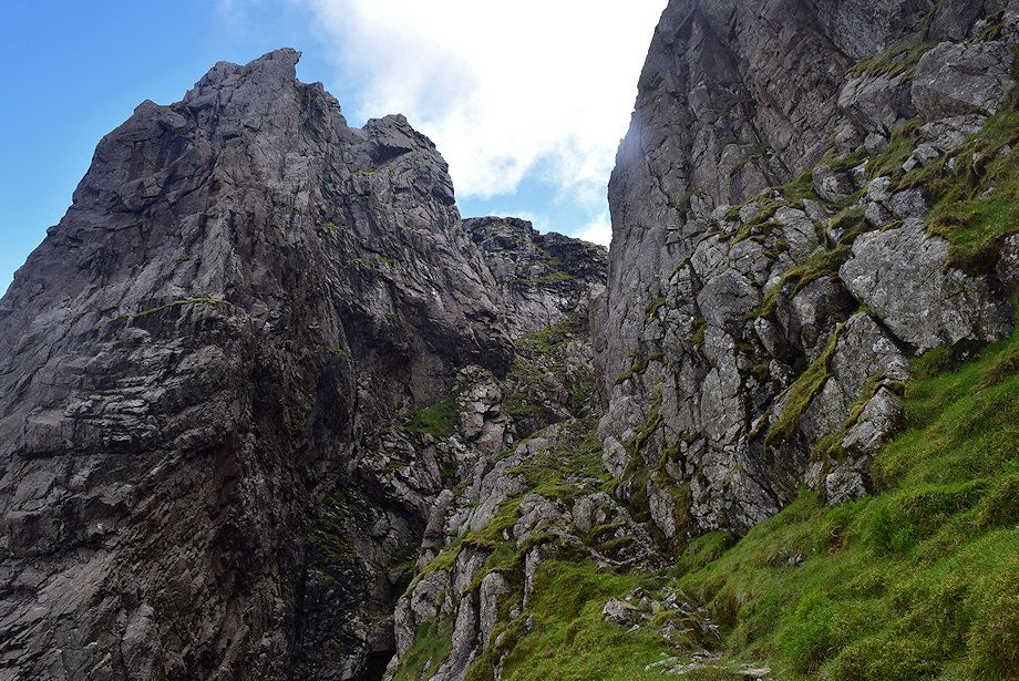
Approaching the start of Lord's Rake. To the left of the walkers is a cross cut into the rock face to mark the site of a tragic accident which occurred on the 23rd September 1903 when four climbers fell 250 ft. to their deaths while attempting to make a new direct route to Hopkinson's Cairn on the Pinnacle; |
 |
|
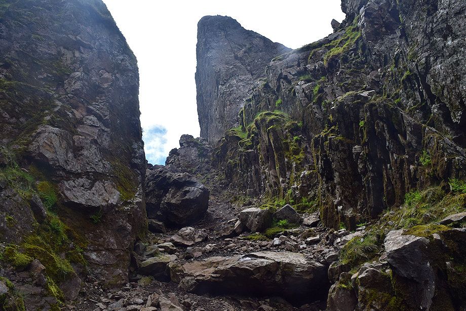
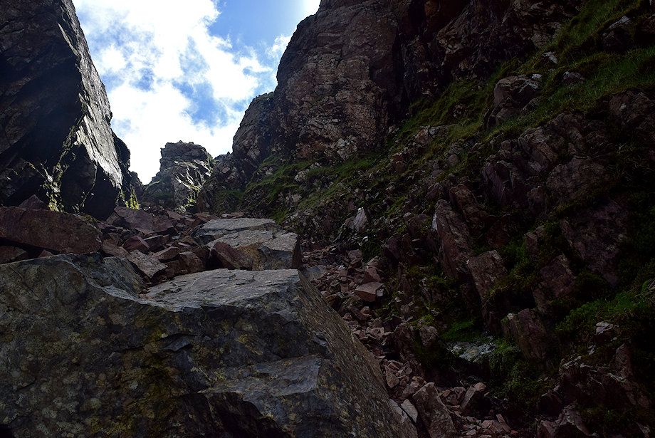
Looking up the first section of Lord's Rake. In 2002 there was a serious rockfall which left a massive block of stone balanced precariously across the first col at the top of the rake. Walkers and climbers were advised not to use the rake or the West Wall Traverse while it remained in situ as it was badly cracked. The block finally collapsed in 2016 and broke into several pieces which now lie in the bed of the rake |
 |
| Lingmell and Great Gable across Shamrock from the start of Lord's Rake |
 |
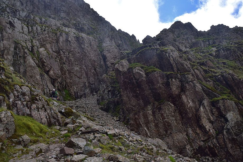
| Ascending the first section of Lord's Rake |
 |
| Looking back to Mickledore and Scafell Pike |
 |
| Looking up to the Pinnacle |
 |
| Looking back to Scafell Pike from the half way along Lord's Rake |
 |
| Approaching the first col, the large rock in the centre is part of the collapsed stone |
 |
| The West Wall Traverse begins about 10 yards below the the col. The initial rock groove is short but very steep and the handholds are loose - take care |
 |
| Scafell Pike above Mickledore Buttress from the start of the West Wall Traverse |
 |
| The West Wall Traverse has long been used by rock climbers to access climbs on the Pinnacle's Deep Gill face |
 |
| Looking back to Lord's Rake first col from the beginning of the West Wall Traverse |
 |
| Mickledore and Scafell Pike across Central Buttress from the West Wall Traverse |
 |
| Looking back along the first section of the West Wall Traverse |
 |
| Approaching the narrowest part of the West Wall Traverse where it begins to curve around Deep Gill Buttresss |
 |
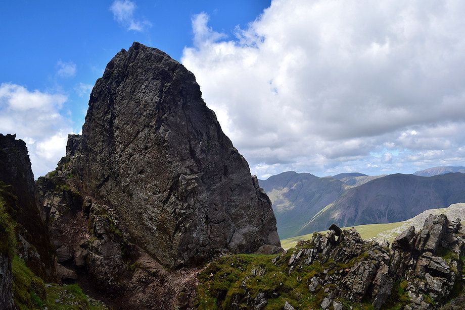
| Looking up to Knife Edge Arete which connects Low Man to High Man on the Pinnacle |
 |
| Pikes Crag across the sloping slabs on the nose of the Pinnacle below Hopkinson's Cairn |
 |
| The final section of the traverse |
 |
| Looking back along the middle section of the traverse |
 |
| Approaching the end of the West Wall Traverse |
 |
| Kirk Fell and Grasmoor across Jones' Arete on the Pinnacle |
 |
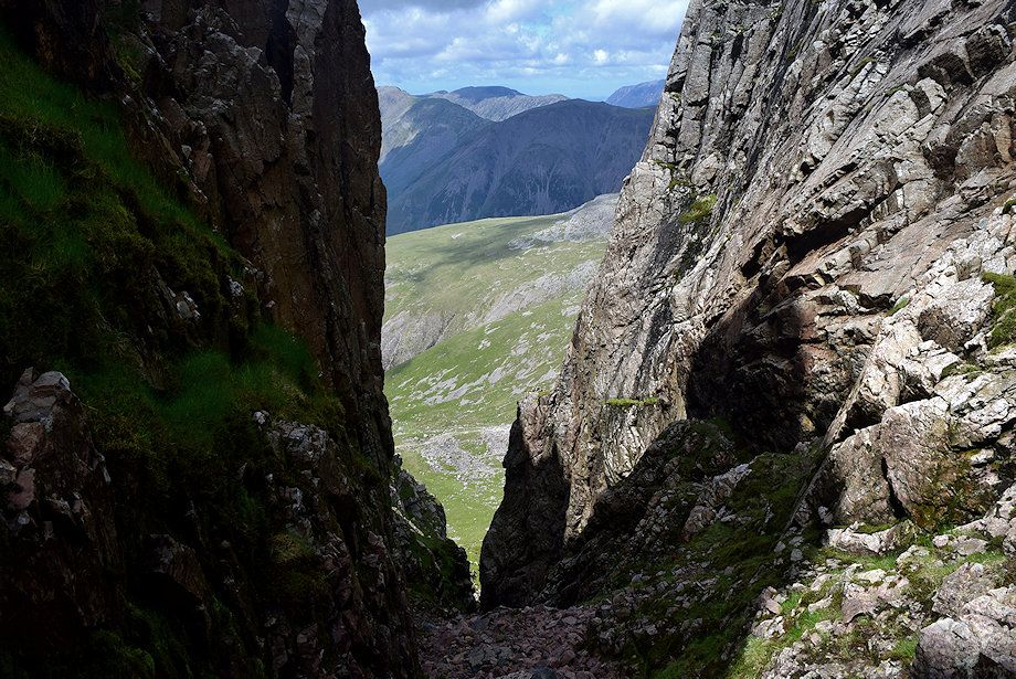
| The West Wall Traverse ends abruptly on a ledge overlooking the upper part of Deep Gill. A loose path makes a short descent into the gill |
 |
|
The West Wall Traverse allows mere walkers to by-pass the chockstones and severe rock pitches in the lower part of Deep Gill. For those wishing to descend this route, the loose path on the left leads up to the traverse. There needs to be a marker cairn at this point because it can easily be passed unnoticed. On the centre right, Hopkinson's Cairn can be seen perched on a ledge. It was placed there by Edward Hopkinson and his brothers when they tried to descend the Pinnacle in 1887 and it marks the lowest point they reached before abandoning their attempt |
 |
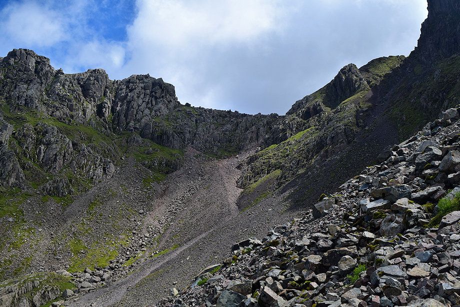
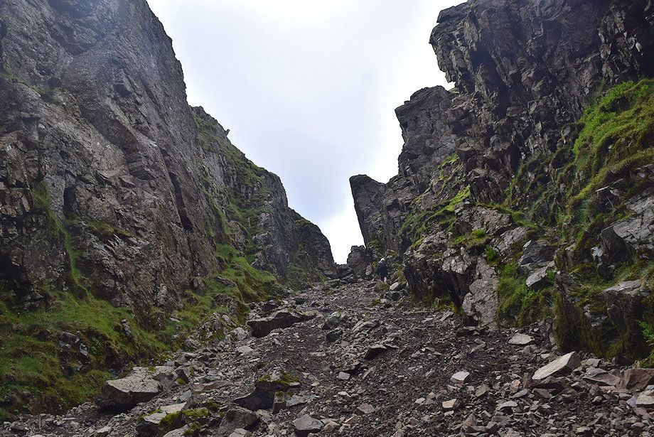
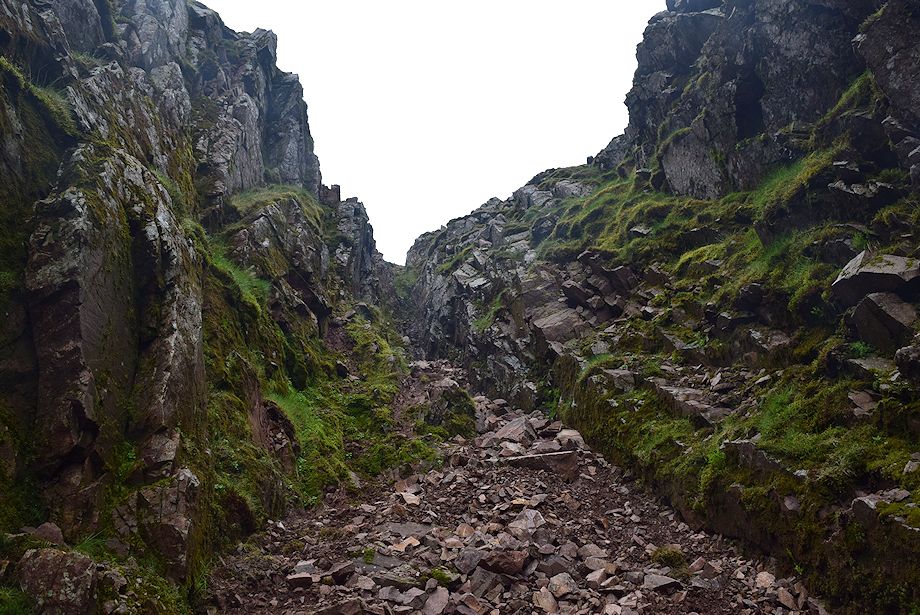
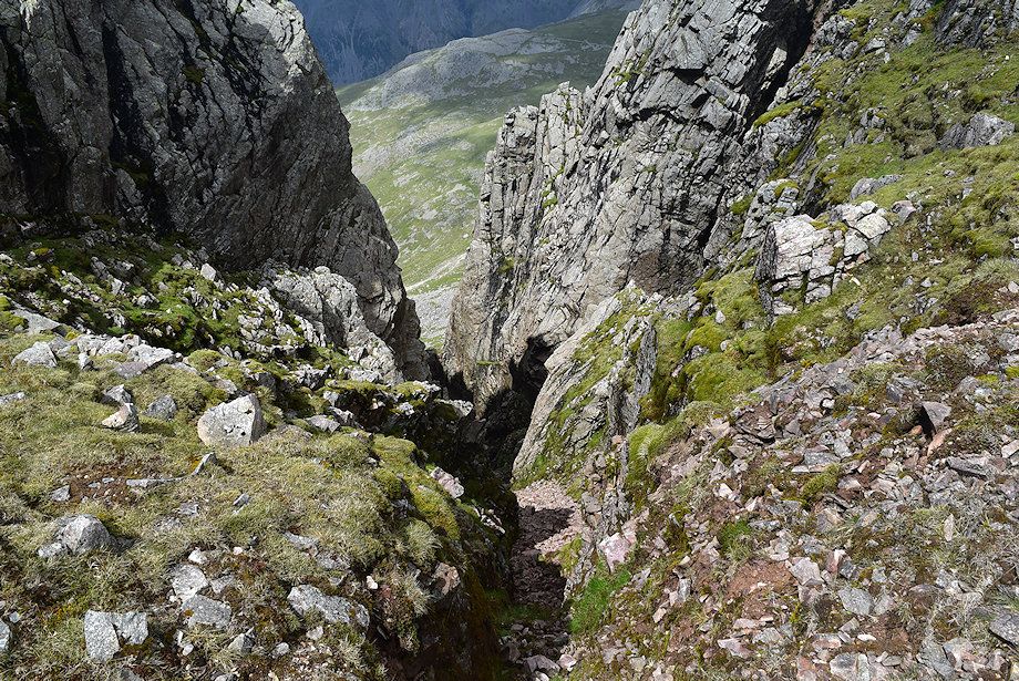
| The ascent continues up the bed of the gill which is steeper than Lord's Rake. There are a lot of un-weathered rocks lying to the left which indicate there have been some fairly recent rock falls here too |
 |
| Deep Gill hemmed in by the steep walls of Deep Gill Buttress and the Pinnacle |
 |
| Approaching the head of Deep Gill. There are two ways to exit it, both of which are very steep and separated by a rock rib. The right one is wide, earthy and loose whilst the left is very narrow, rocky and has good holds, though the rock is often wet |
 |
| The marker cairn at the head of Deep Gill |
 |
| Looking down Deep Gill from the marker cairn |
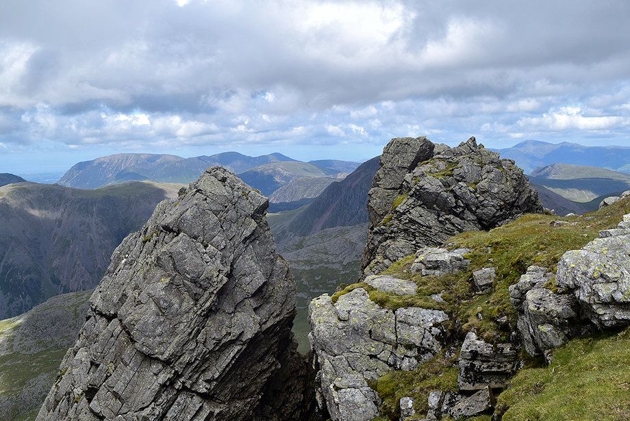 |
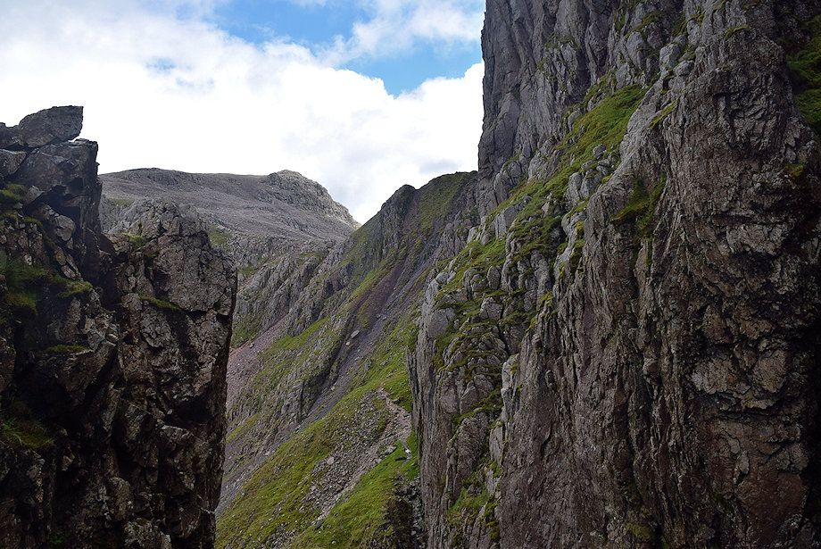
| High Man on the Pinnacle and Pisgah at the head of Deep Gill |
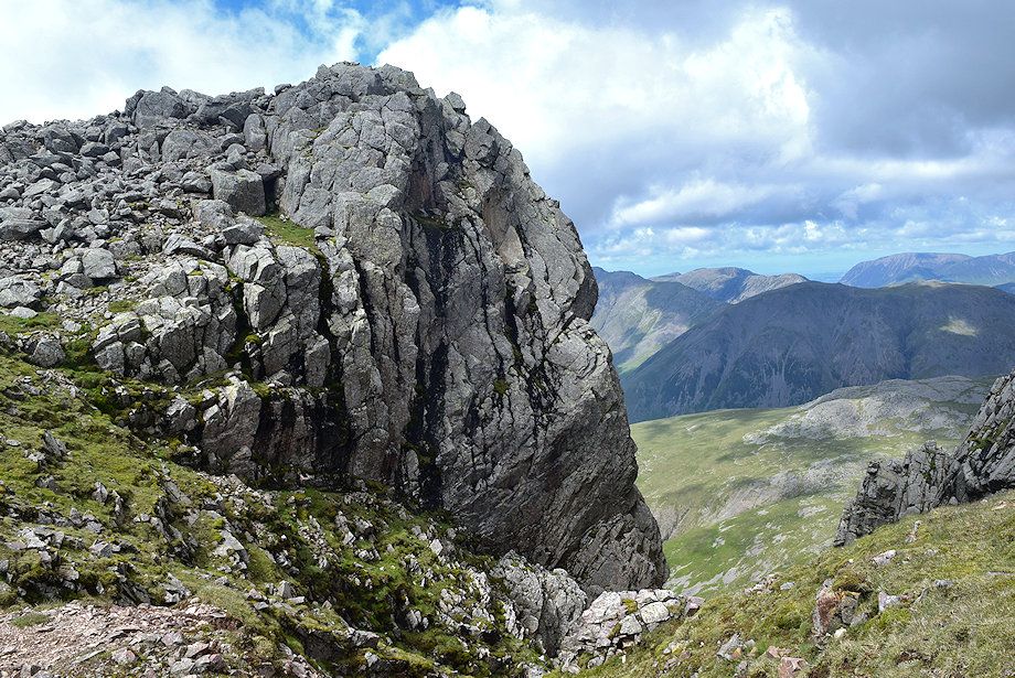 |
| Symonds Knott above the head of Deep Gill |
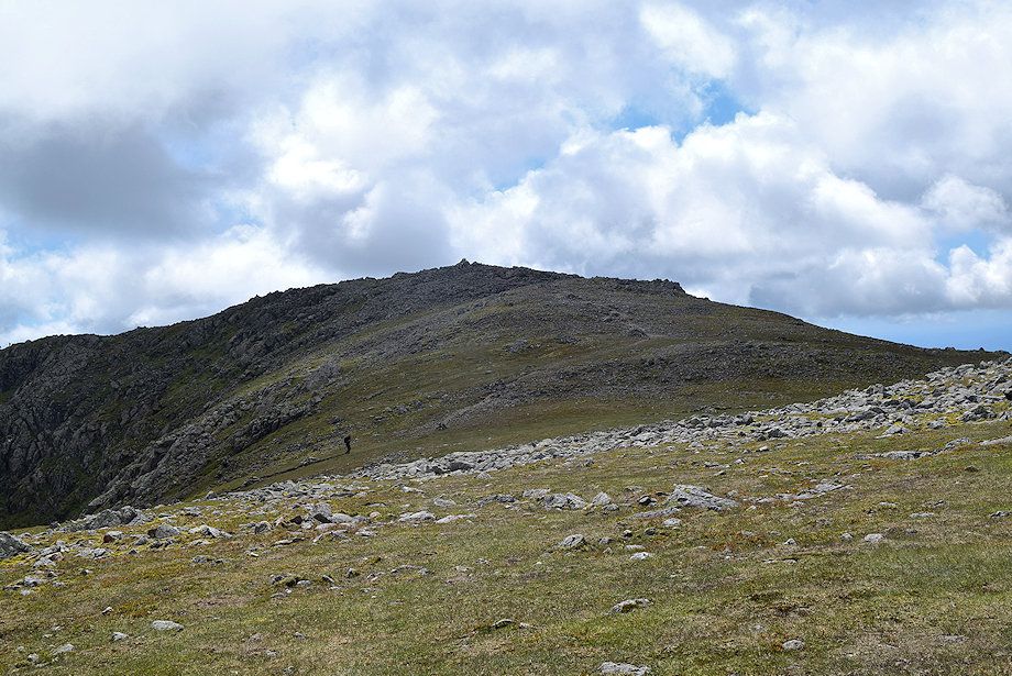 |
| The summit of Scafell lies 300 yards to the south |
 |
| Looking back towards Scafell Pike from the climb to the summit |
 |
| Approaching the summit of Scafell |
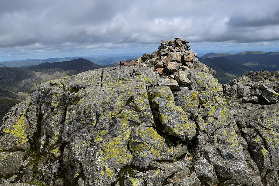 |
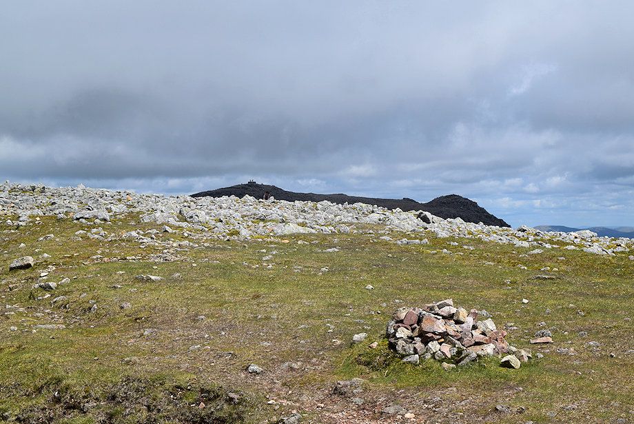
| The summit cairn on Scafell |
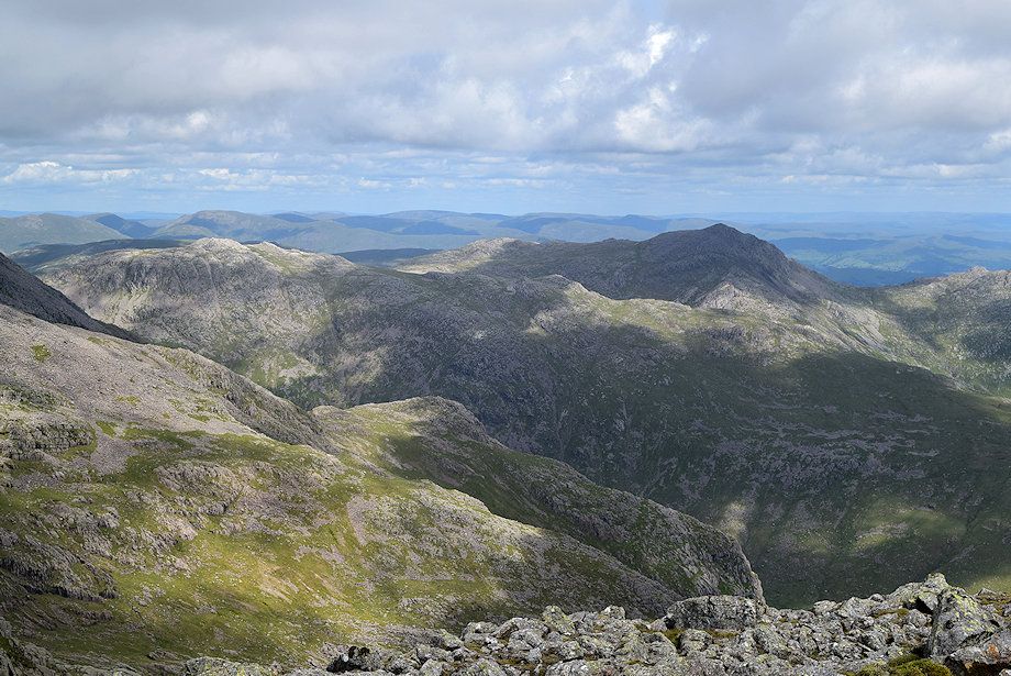 |
| Esk Pike and Bowfell from the summit of Scafell |
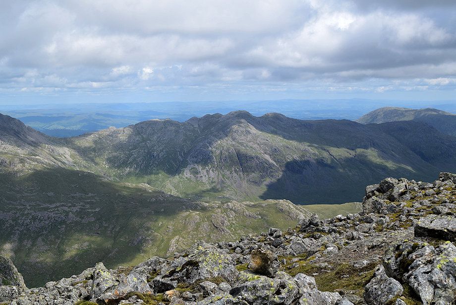 |
| Crinkle Crags from the summit of Scafell |
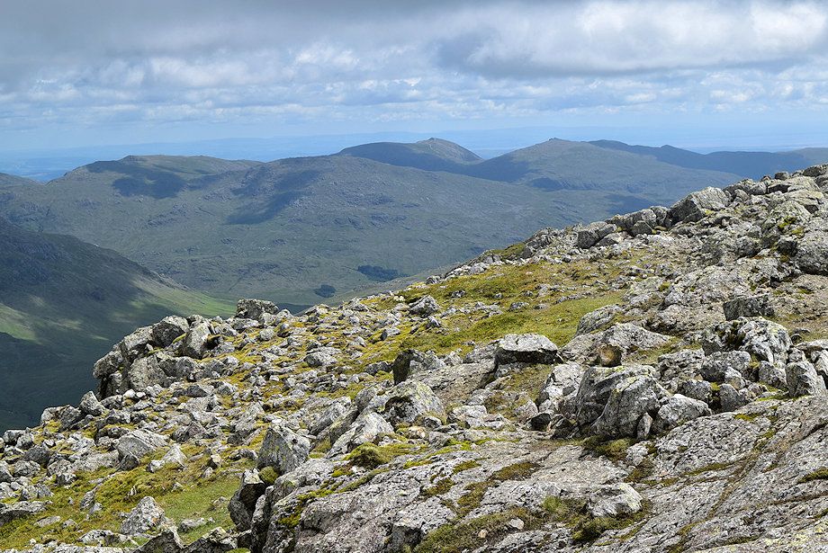 |
| The Coniston Fells from the summit of Scafell |
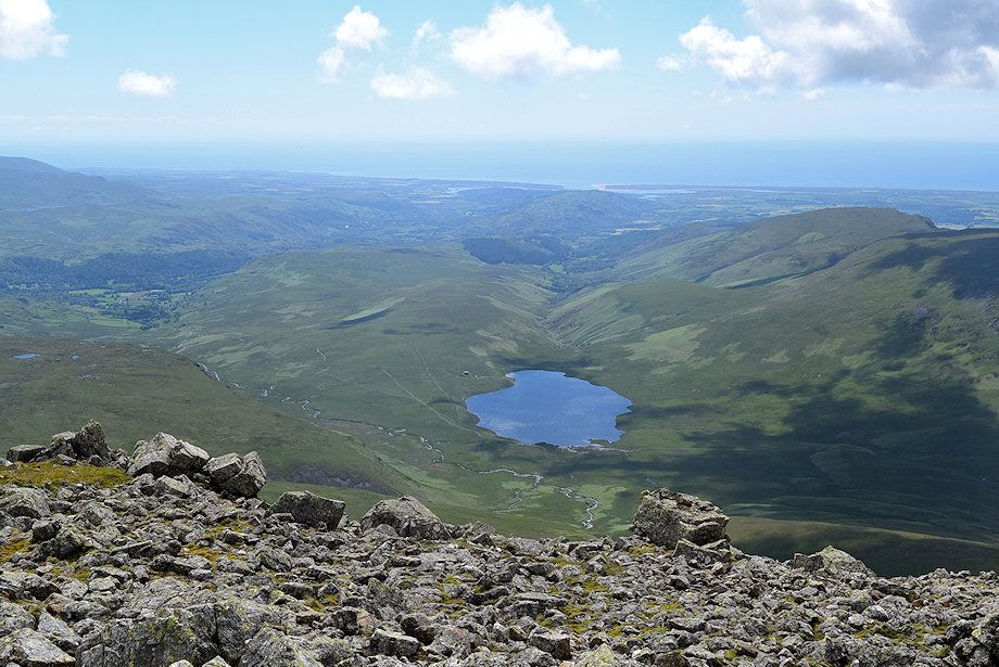 |
| Burnmoor Tarn from the summit of Scafell |
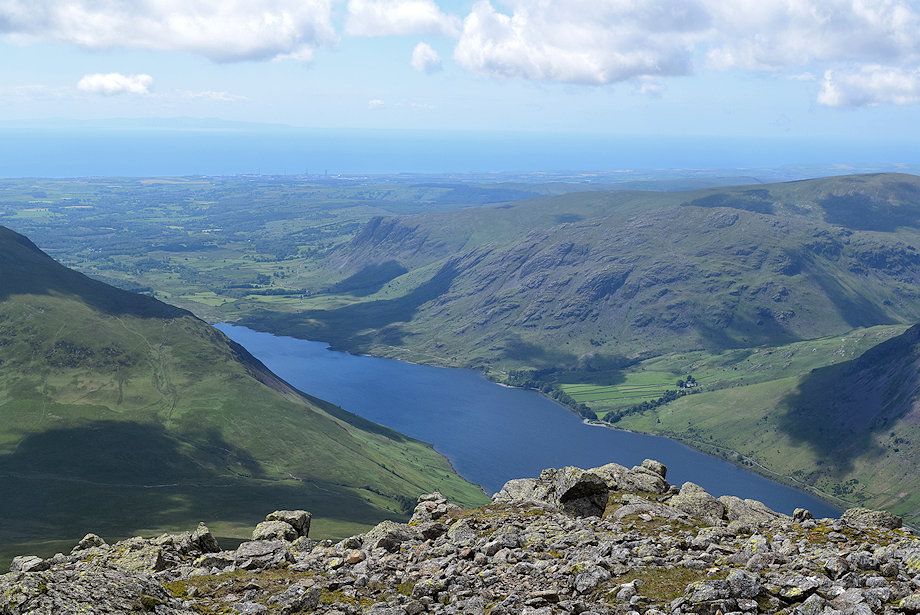 |
| Wast Water from the summit of Scafell |
 |
| Yewbarrow from the summit of Scafell |
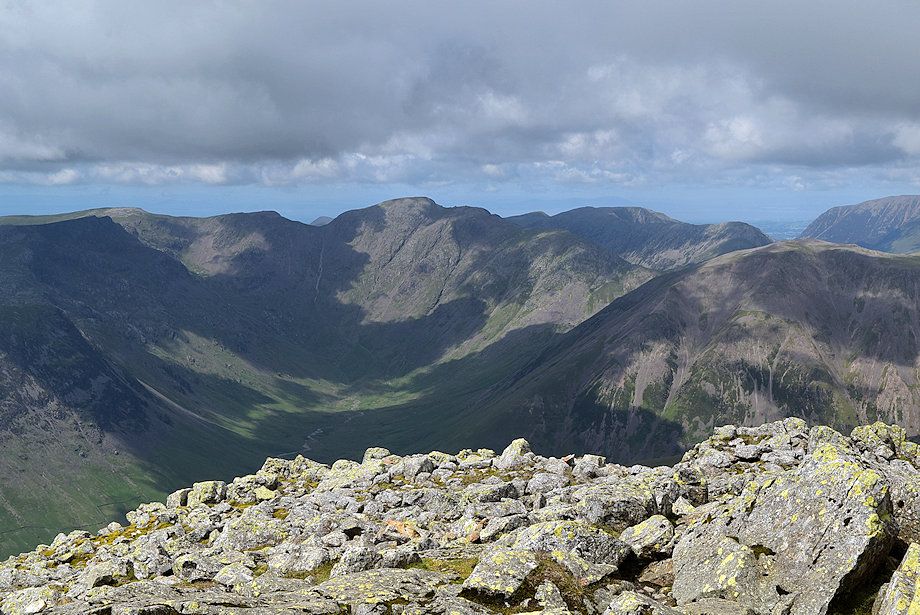 |
| The Mosedale Horseshoe from the summit of Scafell |
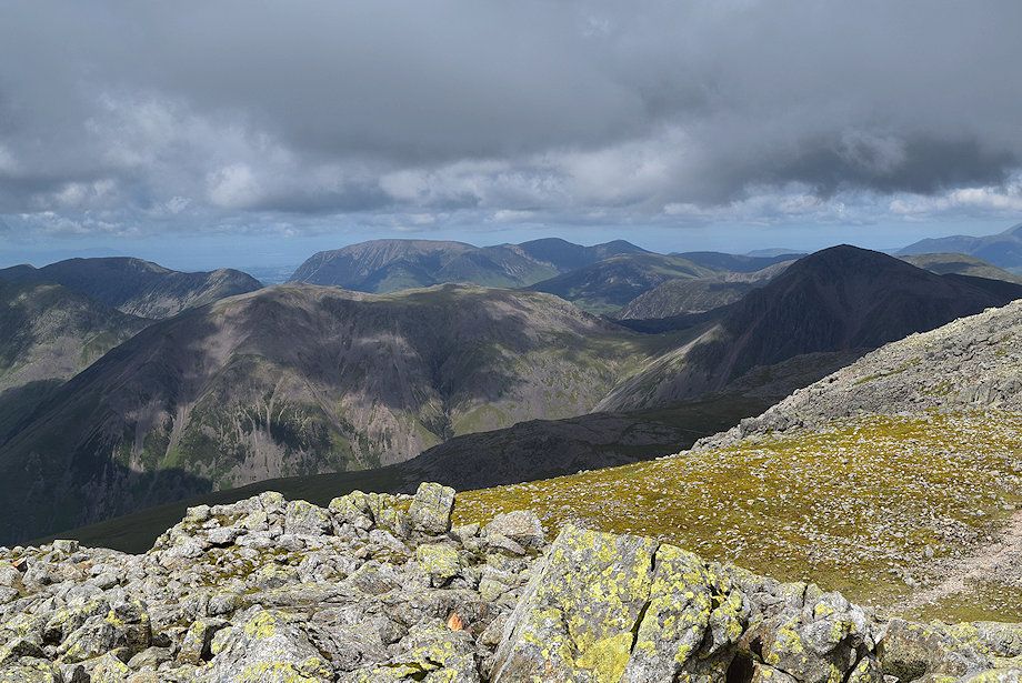 |
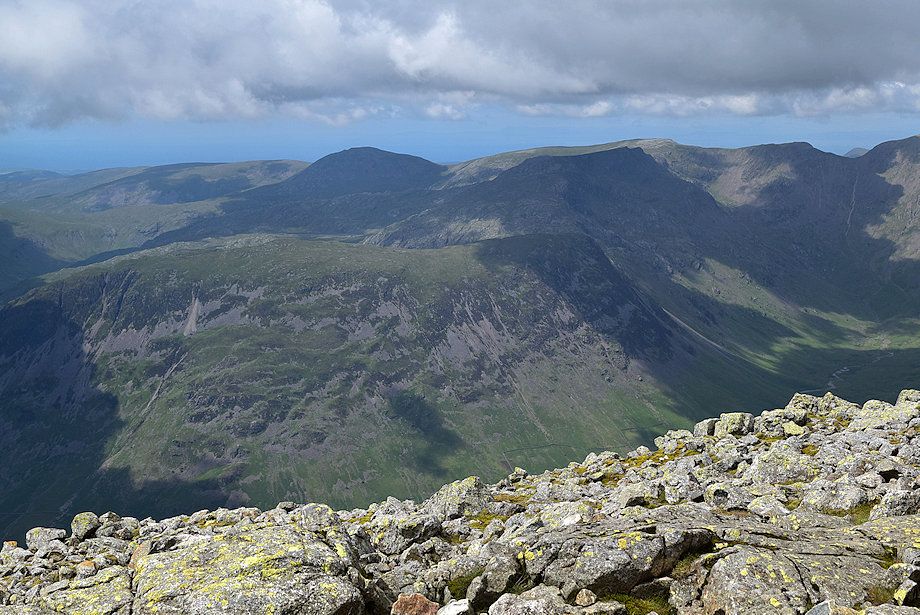
| Kirk Fell and Great Gable with the High Stile ridge on the left and the Grasmoor group of fells in the centre |
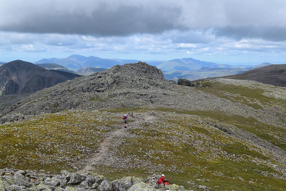 |
| Symonds Knott flanked by Skiddaw and Blencathra on the horizon |
 |
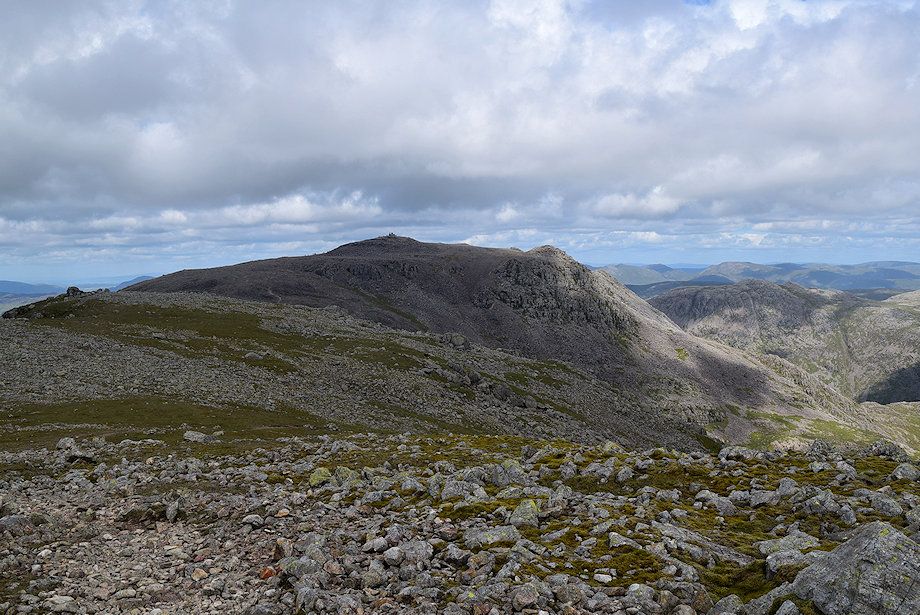
| Scafell Pike from the summit of Scafell |
|