 |
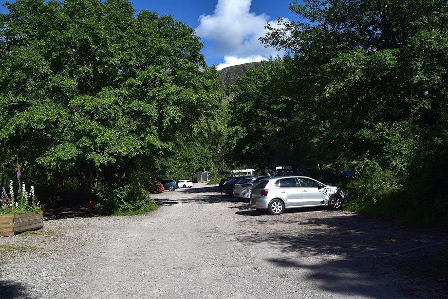
| The National Trust car park near Wasdale Head is the starting point for this walk |
 |
| Great Gable from the Mountain Rescue vehicles' parking area |
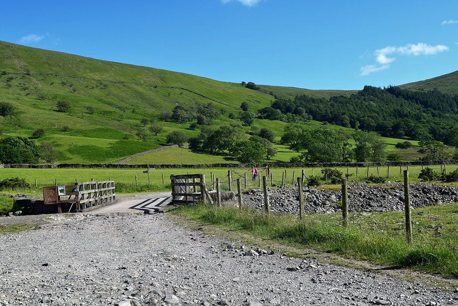 |
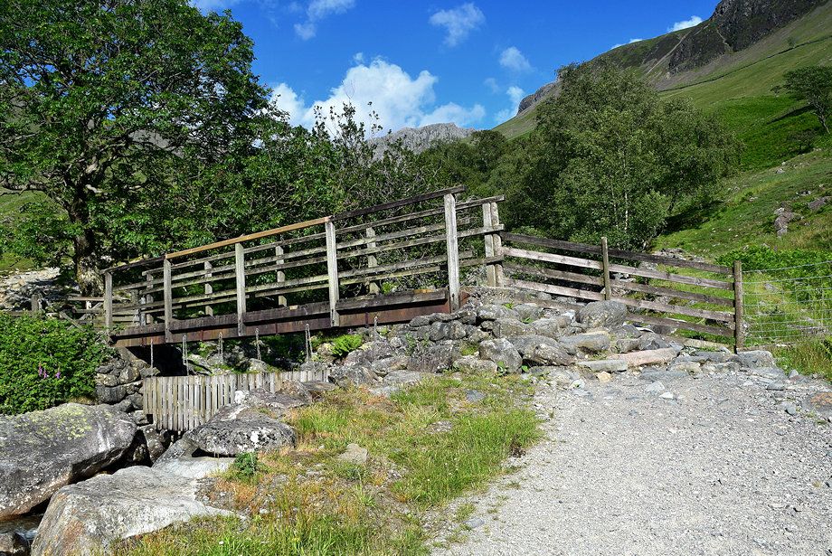
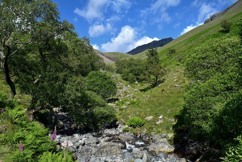
| Cross the wide bridge which spans Lingmell Gill |
 |
| Follow the old Corpse Road track which is signed for Eskdale and Miterdale. The track soon splits - keep left at the fork and follow a permissive path which avoids Brackenclose, the Fell and Rock Climbing Club hut, set in its wooded enclosure |
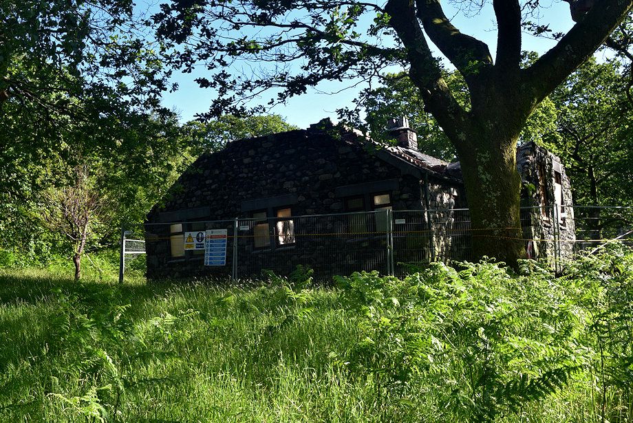 |
| Passing Brackenclose which was badly damaged by a fire in April 2019 |
 |
| The permissive path runs alongside Lingmell Gill towards a footbridge where it joins a Right of Way path |
 |
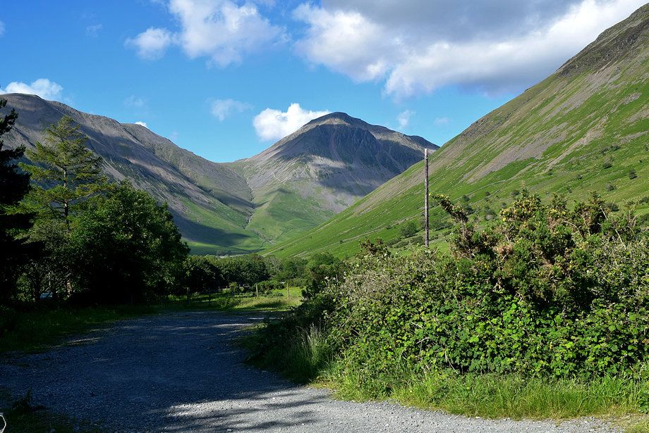
| Kirk Fell across Lingmell Gill from the permissive path |
 |
| Great Gable and Lingmell from the permissive path |
 |
| The footbridge over Lingmell Gill |
 |
| Over the footbridge the path rises to a handgate |
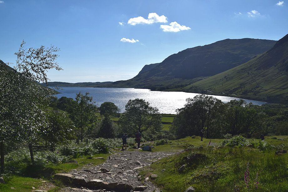 |
| Looking back to Wast Water from the handgate |
 |
| The path continues on from the handgate alongside the tree shrouded Lingmell Gill ravine towards another handgate in the intake wall |
 |
| The Lingmell Gill ravine |
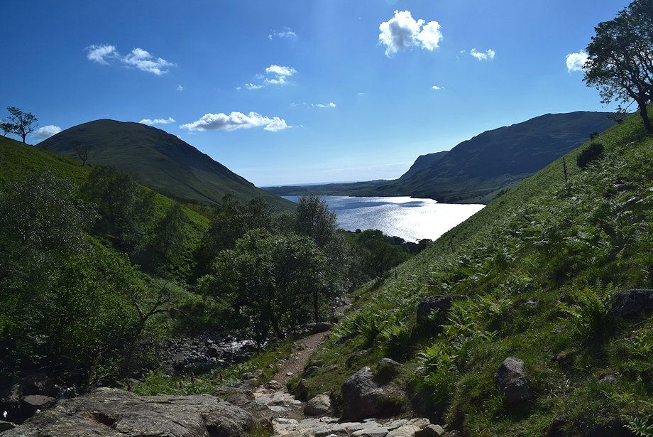 |
| Looking back to Wast Water from the path alongside the Ligmell Gill ravine |
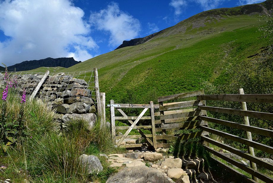 |
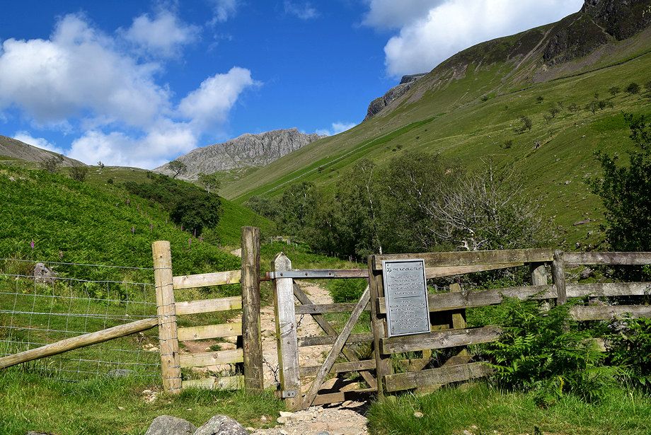
| The intake wall handgate which gives access to the open fellsides |
 |
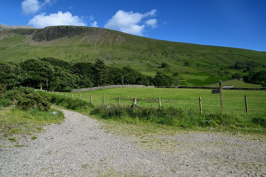
| Shortly before reaching the gate another path joins from the left. Tthis one comes up from the large parking area on Wasdale Head Green |
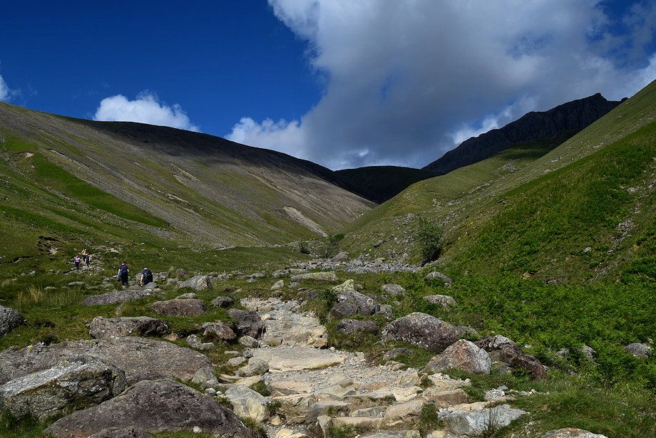 |
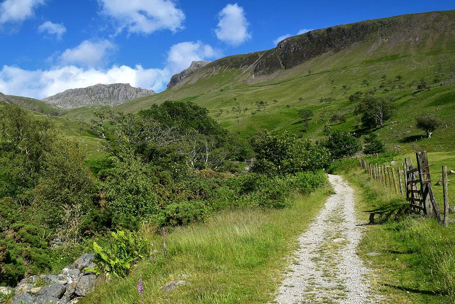
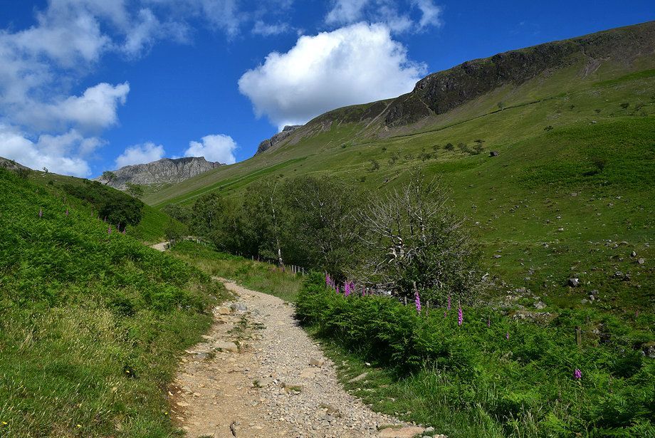
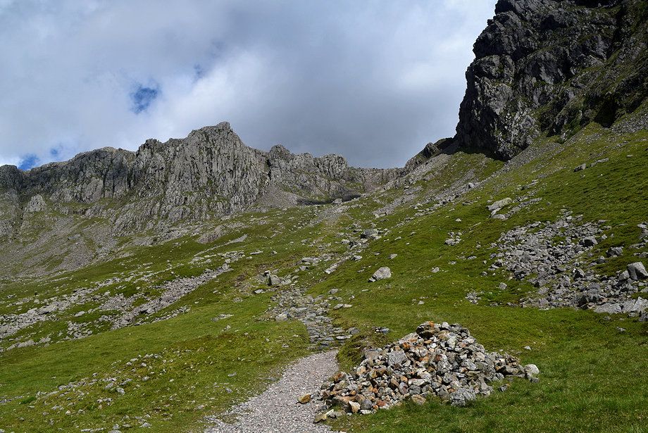
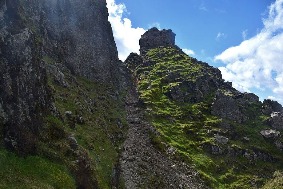
| The path continues to climb steadily towards Brown Tongue |
 |
| Lingmell Gill is crossed just beyond its confluence with an unnamed stream |
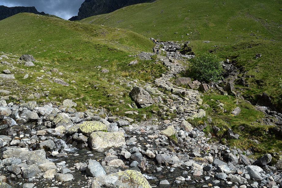 |
| The crossing point over Lingmell Gill which can be difficult if the stream is in spate |
 |
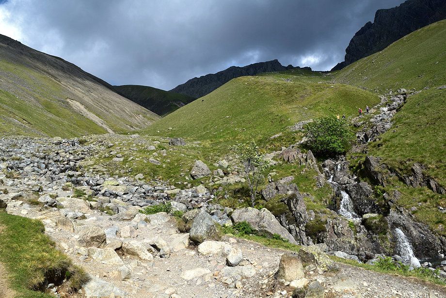
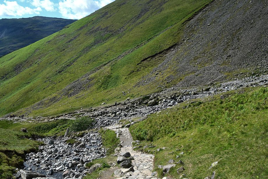
| Over the crossing point a stone-pitched path climbs along the southern flank of Brown Tongue following the course of an unnamed stream |
 |
| Looking back to the crossing point over Lingmell Gill |
 |
| Looking back to Wast Water from the Brown Tongue path |
 |
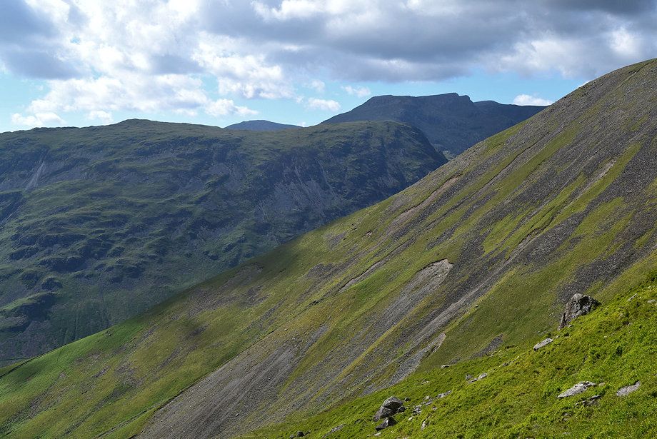
| Scafell Crag and Black Crag from the Brown Tongue path |
 |
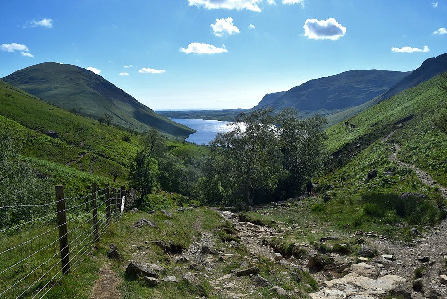
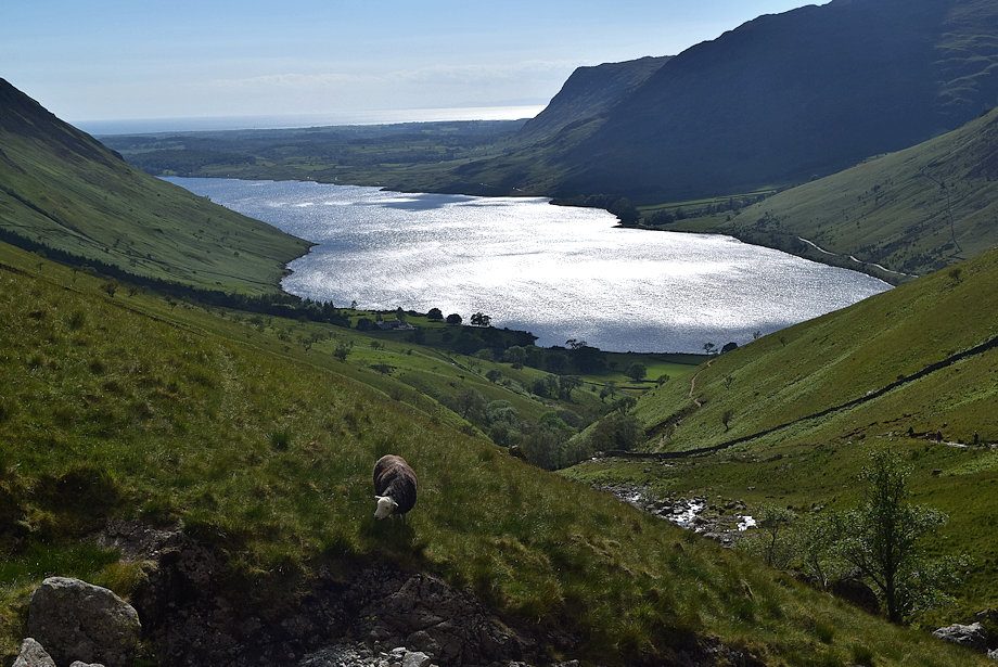
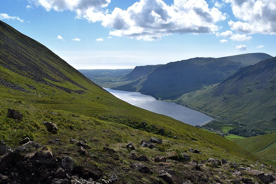
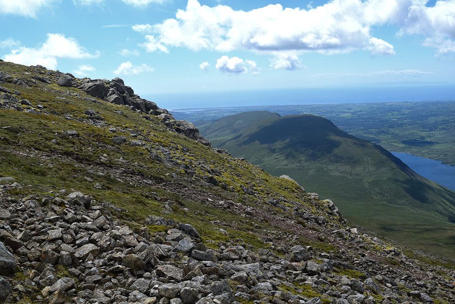
| Wast Water from the mid-way point on the Brown Tongue path |
 |
| Yewbarrow, Haycock and Red Pike across Lingmell's west ridge |
 |
| The path begins to turn away from the unnamed stream as it approaches to top of Brown Tongue |
 |
| Wast Water from near the top of Brown Tongue |
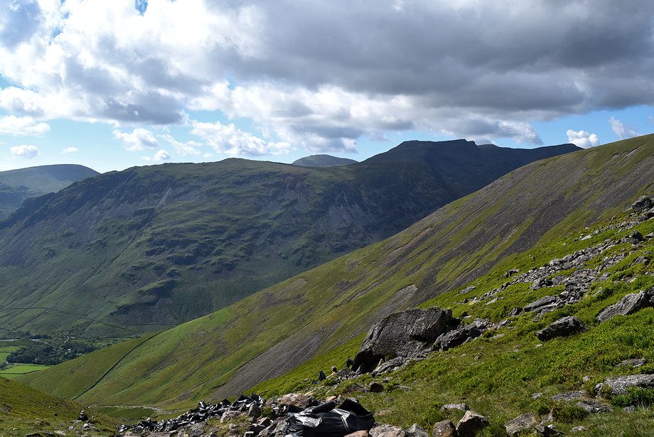 |
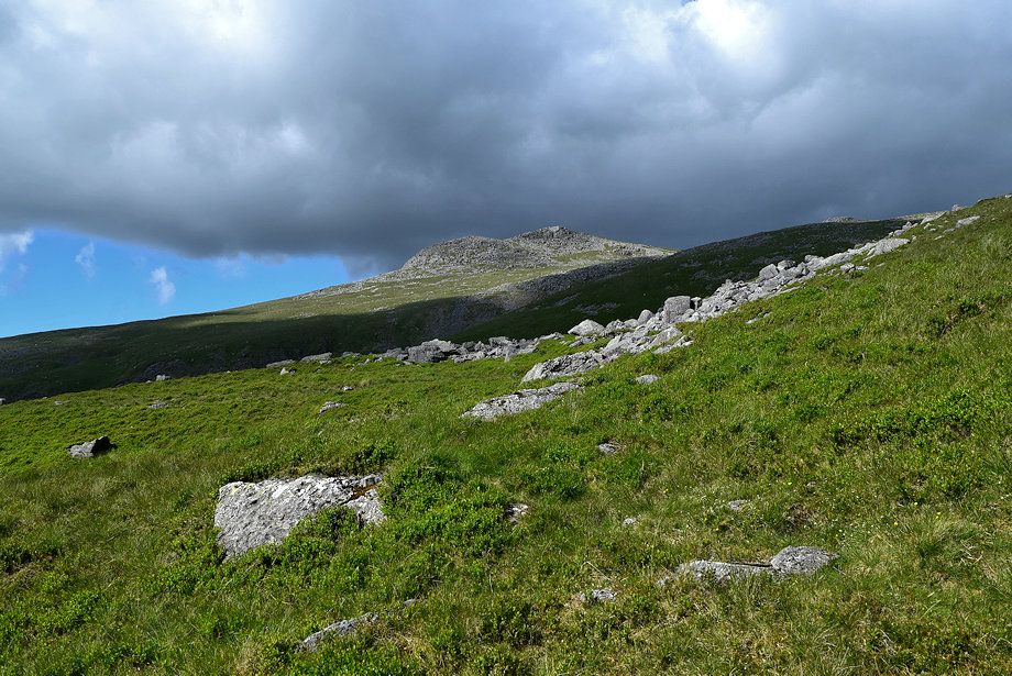
| Seatallan, Yewbarrow, Haycock, Red Pike and Scoat Fell from near the top of Brown Tongue |
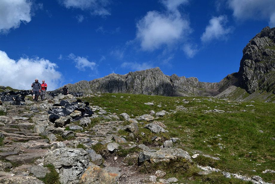 |
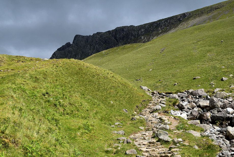
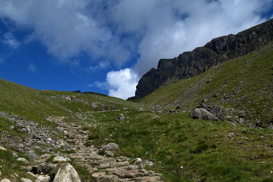
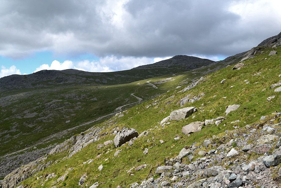
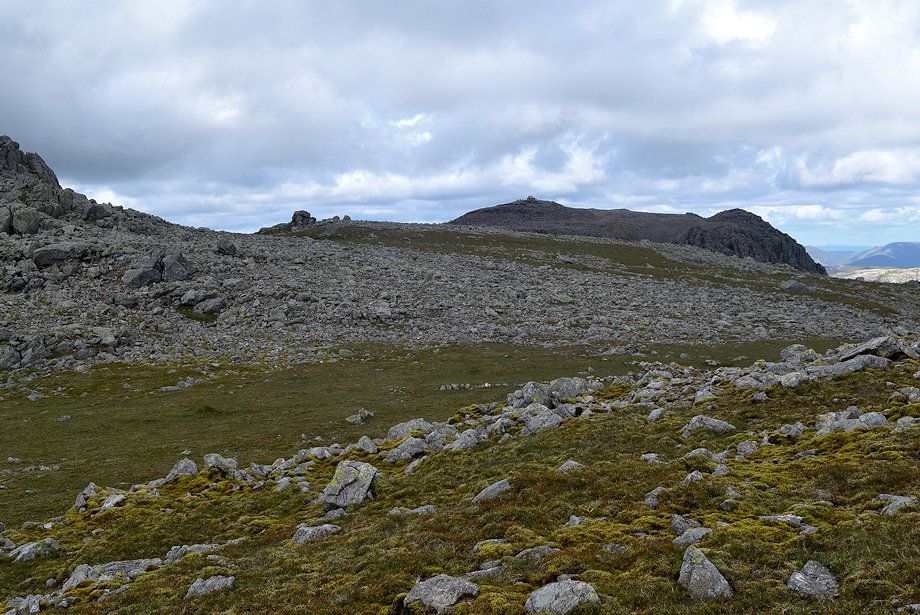
| At the top of Brown Tongue the path divides, bear right for Mickledore. The left branch continues via Hollow Stones to ascend Scafell Pike |
 |
| Looking over to Goat Grags on Lingmell from the Mickledore path |
 |
| The path descends slightly and crosses a shallow combe |
 |
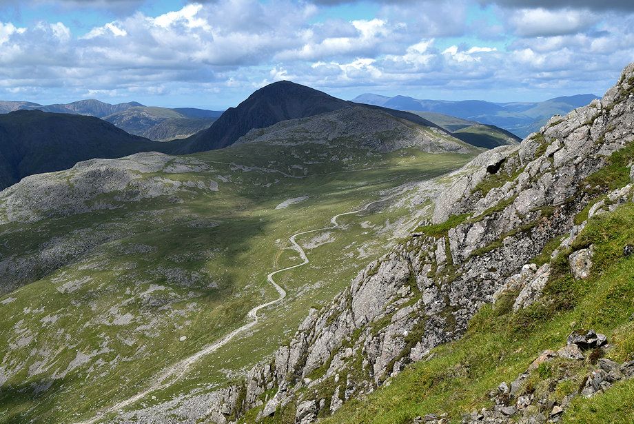
| Looking across Hollow Stones to Haycock, Red Pike, Scoat Fell and Pillar |
 |
| The stone-pitching of the path resumes as it begins to climb out of the combe towards the 'big boulder'which AW noted on his diagram of this ascent |
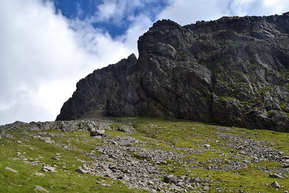 |
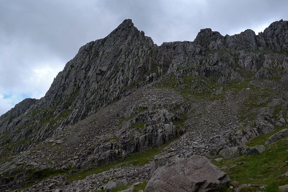
| Scafell Crag and Shamrock from the climb out of the shallow combe |
 |
| Looking over towards Lingmell |
 |
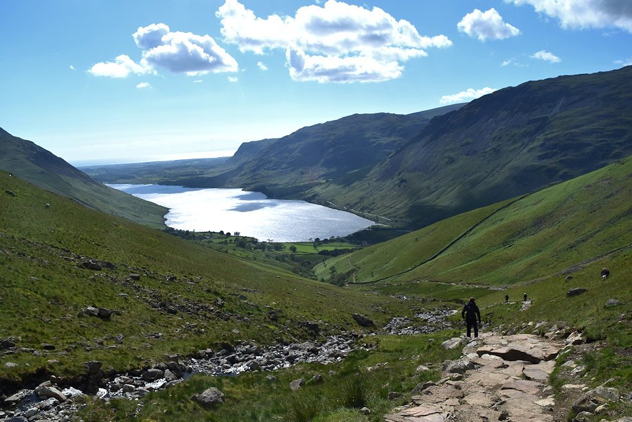
| Looking back to Wast Water from the path to Mickledore |
 |
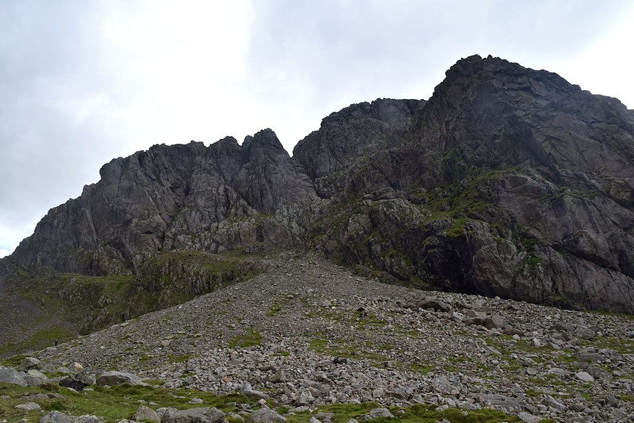
| Pulpit Rock and Mickledore Buttress from the approach to the 'big boulder' |
 |
| Scafell Crag from the 'big boulder' |
 |
| Wast Water from the 'big boulder' |
 |
| Continuing on the path to Mickledore |
 |
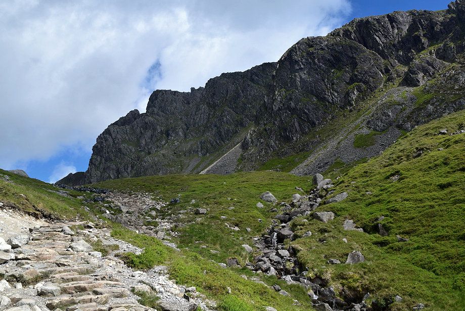
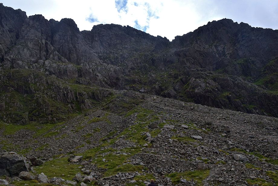
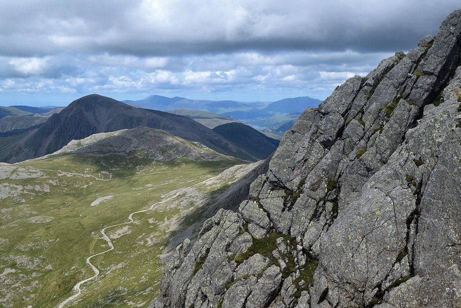
| Looking up to Scafell Crag from the path to Mickledore. Some of its features are, from the left - Botterill's Slab, Central Buttress, Moss Gill, Pisgah Buttress, Steep Gill and the Pinnacle, which is completely isolated at its top from the main body of the fell with its own summits of Low and High Man. The huge cleft to the right of the Pinnacle is Deep Gill with Deep Gill Buttress to its right. Much of the right hand end of the crag is hidden by Shamrock which is separated from the main crag by Lord's Rake. Lord's Rake is accessed by the scree slope on the left. |
 |
| Looking over towards Pikes Crag, Pulpit Rock and Mickledore Buttress |
 |
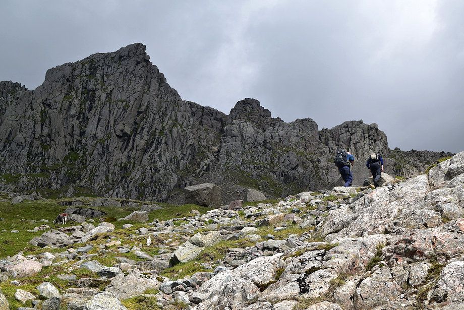
| Time to leave the Mickledore path to climb to the start of Lord's Rake. The grassy tongue in the centre carries a path which avoids most of the scree. Lord's Rake does not come into view until the base of the crag is reached |
 |
| Looking down the scree slope from the climb to the start of Lord's Rake |
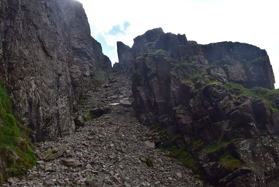 |
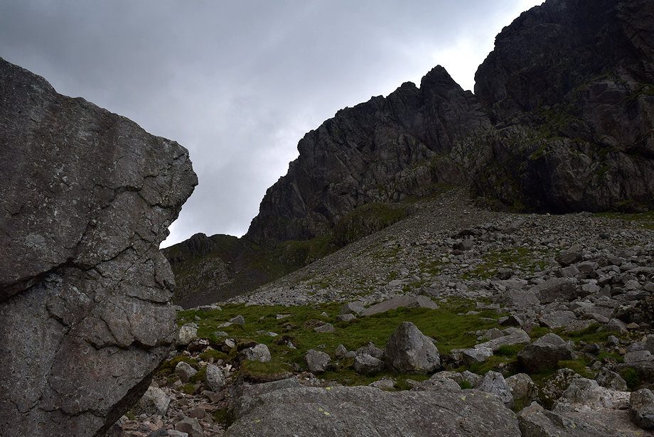
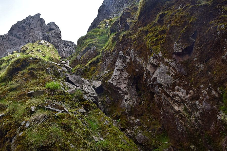
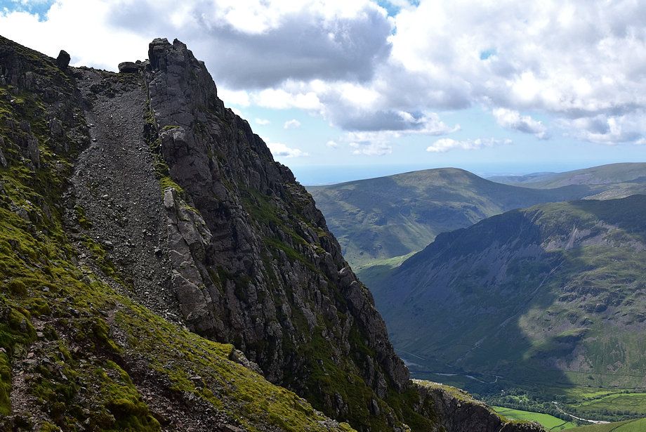
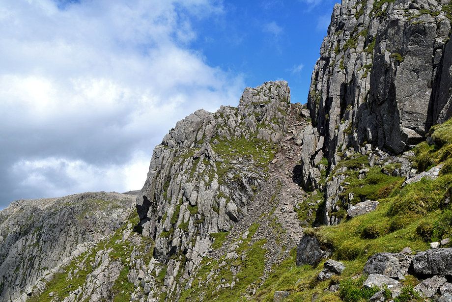
| The start of Lord's Rake, a narrow stone chute between Deep Gill Buttress on the left and Shamrock on the right which rises steeply to a narrow col |
 |
| In 2002 there was a serious rockfall which left a massive block of stone balanced precariously across the first col at the top of the rake. Walkers and climbers were advised not to use the rake or the West Wall Traverse while it remained in situ as it was badly cracked. The block finally collapsed in 2016 and broke into several pieces which now lie in the bed of the rake |
 |
| Looking back towards Mickledore and Scafell Pike from halfway along the first section of Lord's Rake |
 |
| Approaching the col and the remnants of the fallen stone |
 |
| Just below the col is the start of the West Wall Traverse |
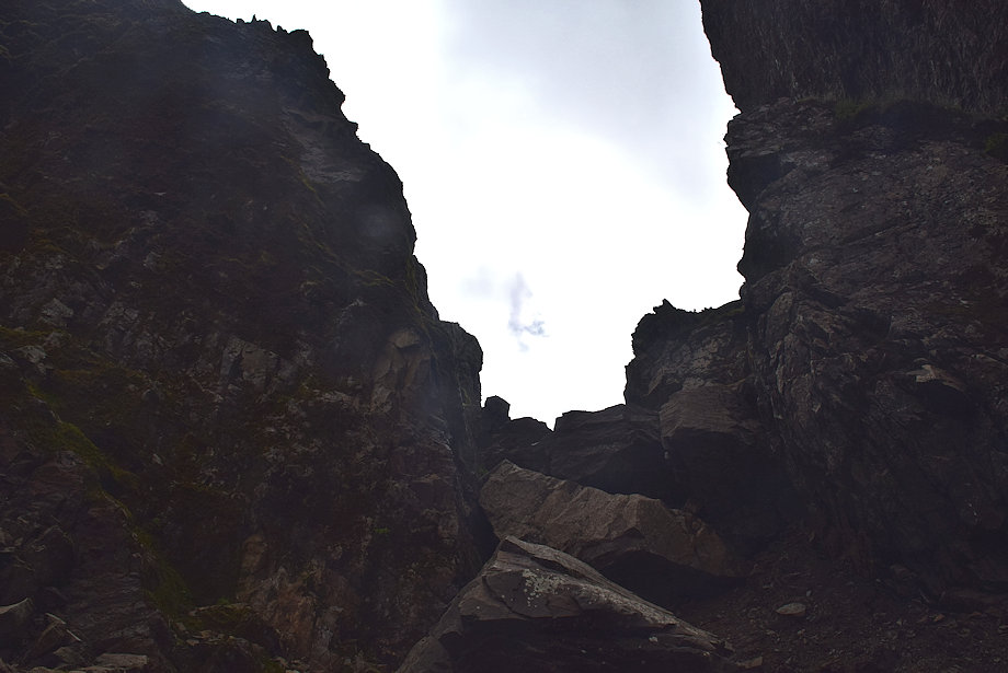 |
| The first col on Lord's Rake |
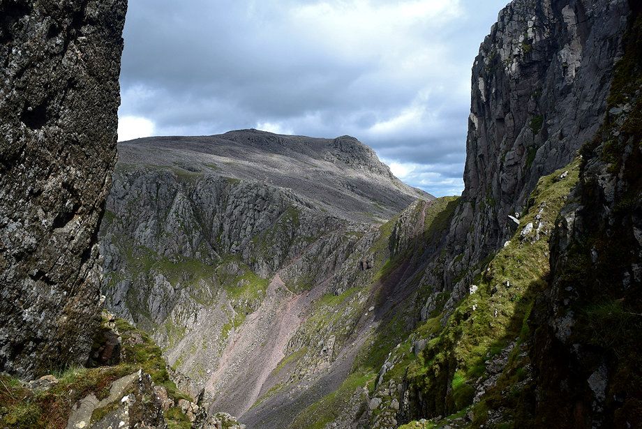 |
| Mickledore and Scafell Pike from the first col |
 |
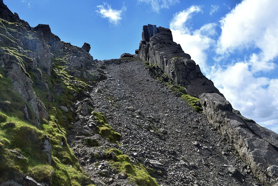
| A short descent followed by a 30 foot climb of a shale path leads up to the second col |
 |
| Looking across towards Pillar and Kirk Fell from the climb to the second col |
 |
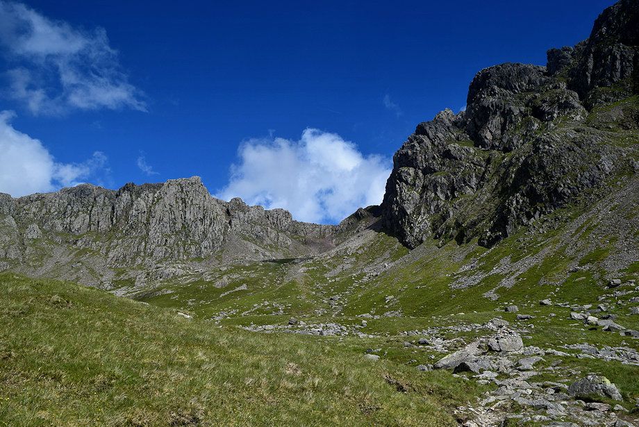
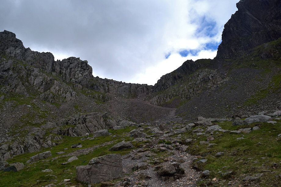
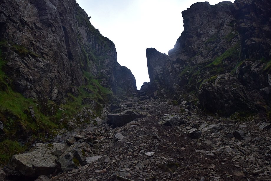
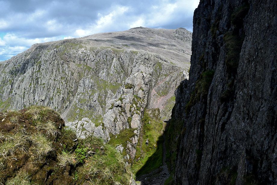
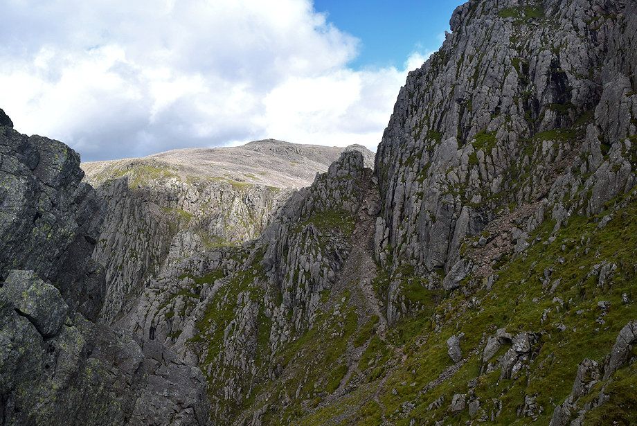
| From the second col the end of Lord's Rake comes into view across what AW called a stony amphitheatre |
 |
| Looking back to the first col from the second col |
 |
| Descending the steep path into the stony amphitheatre |
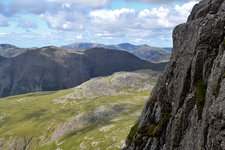 |
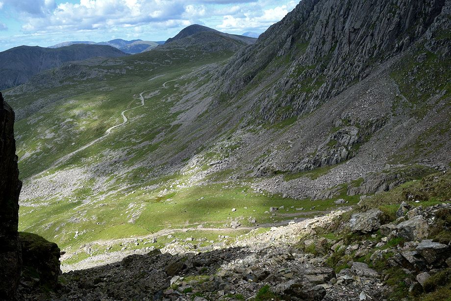
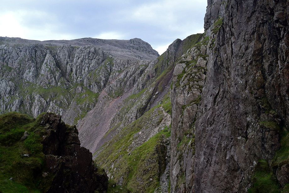
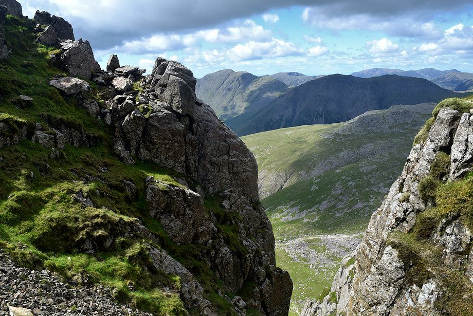
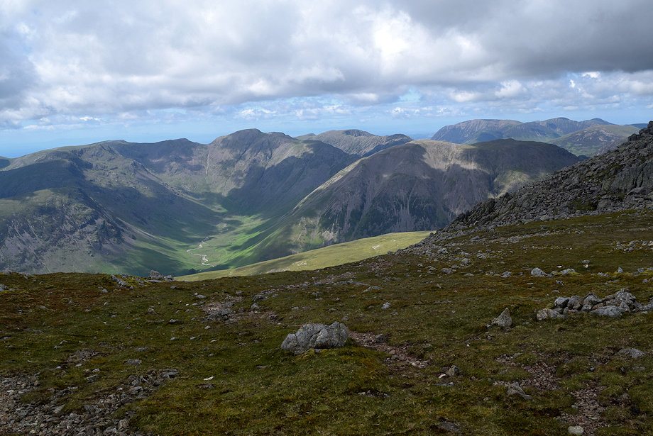
| Looking across to the North Western Fells beyond Kirk Fell |
 |
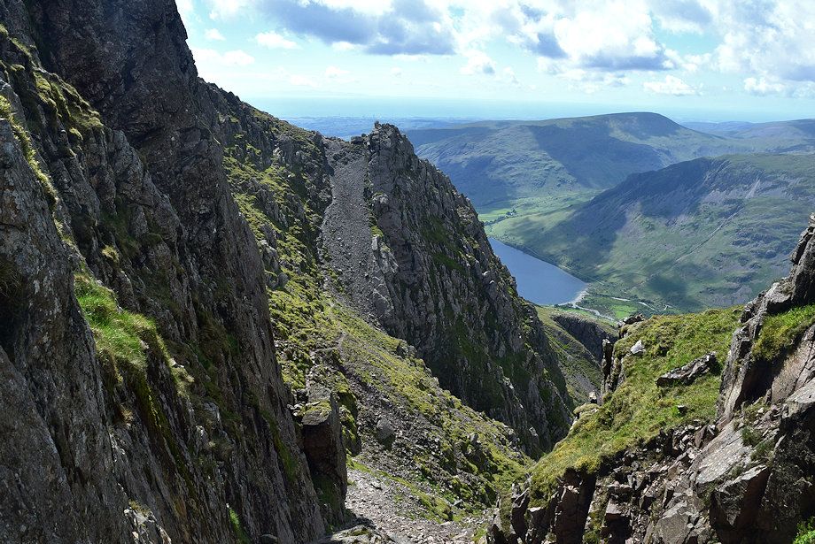
| The final section of Lord's Rake from the amphitheatre |
 |
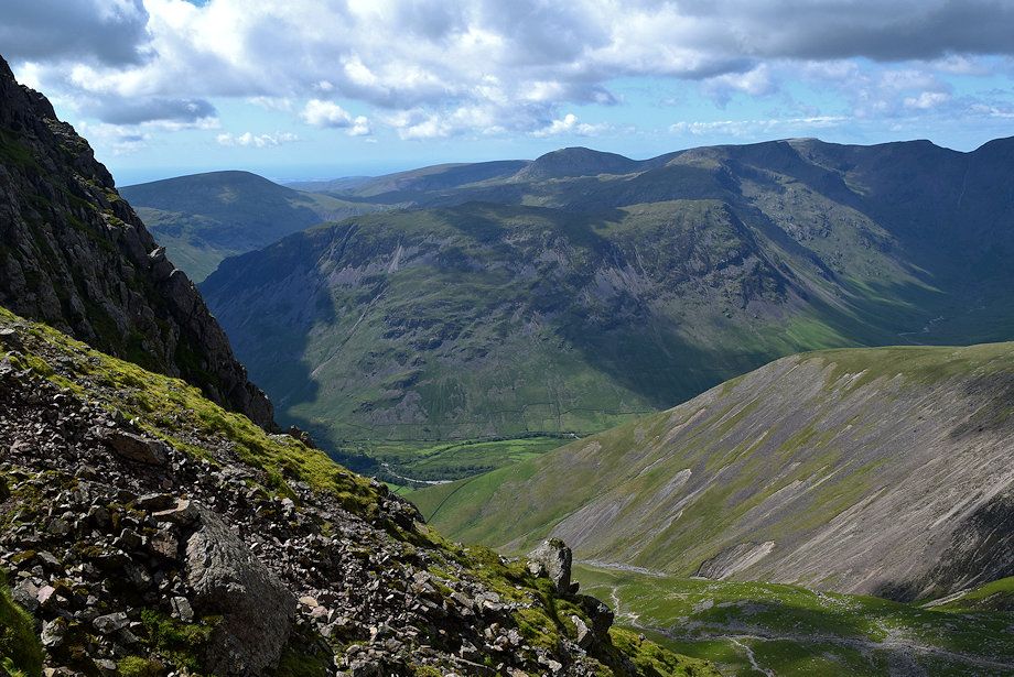
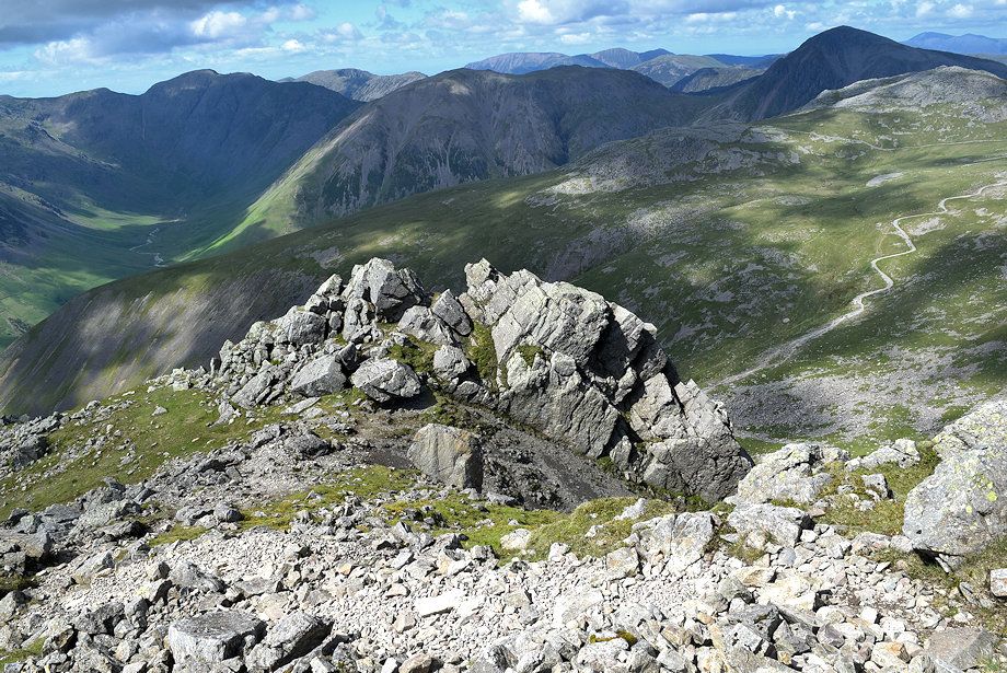
| Great Gable over Lingmell from the amphitheatre |
 |
| The Western Fells of Seatallan, Caw Fell, Yewbarrow, Haycock, Red Pike and Scoat Fell from the amphitheatre |
 |
| Looking back to the second col from the amphitheatre |
 |
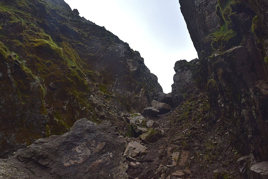
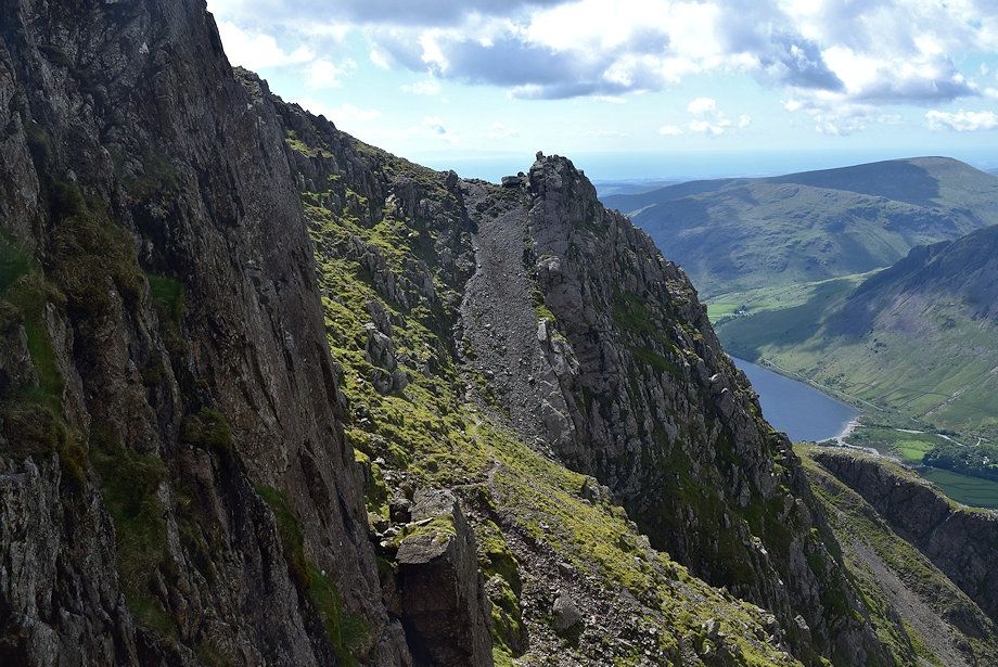
| Approaching the end of Lord's Rake where the path will emerge onto the stony upper western slope of Scafell |
 |
| Looking back across the amphitheatre to the second col from the end of Lord's Rake |
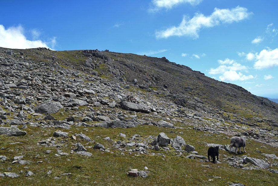 |
| All that remains is a simple climb to the summit ridge which is gained at a saddle between Symonds Knott and the summit of Scafell |
 |
| Looking back to the point where Lord's Rake emerges onto Scafell's open western slope |
 |
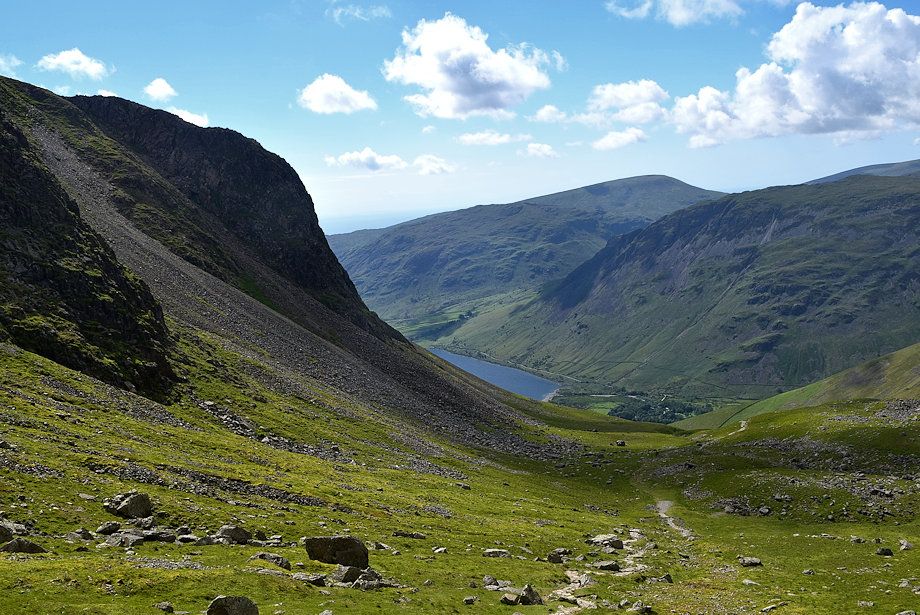
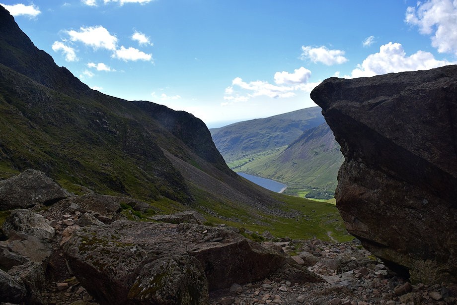
| Wast Water from the climb to the saddle |
 |
| Looking over to Burnmoor Tarn |
 |
| Looking back towards the Mosedale Horseshoe from the climb to the saddle |
 |
| Skiddaw and Blencathra on the horizon across Red Gill Buttress |
 |
| Looking across towards Whin Rigg and Illgill Head from the climb to the saddle |
 |
| Passing below Symonds Knott |
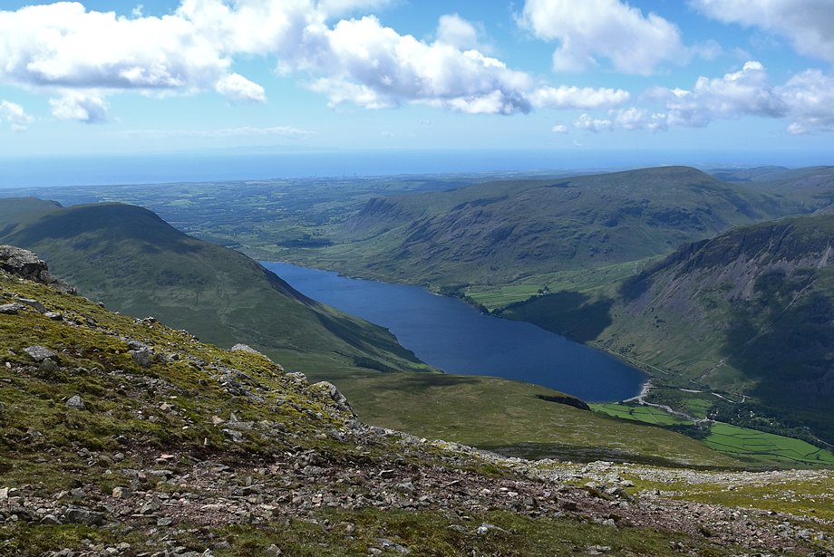 |
| Wast Water from just below the saddle |
 |
| Scafell Pike from the saddle |
 |
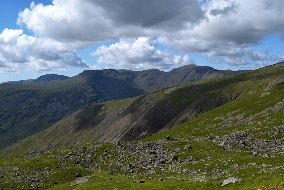
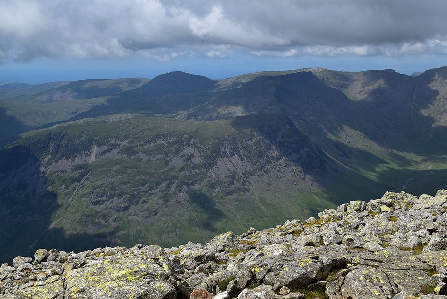
| The Mosedale Horseshoe and the High Stile ridge with the Grasmoor group of fells on the right from the saddle |
 |
| The summit of Scafell from the saddle |
 |
| Esk Pike, Bowfell and Crinkle Crags from the start of the climb to the summit |
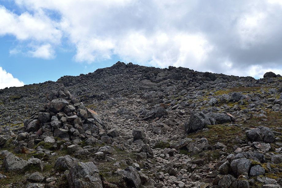 |
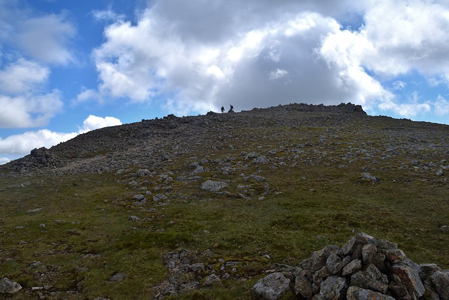
| Approaching the summit of Scafell |
 |
| Looking back over the saddle to Scafell Pike from just below the summit of Scafell |
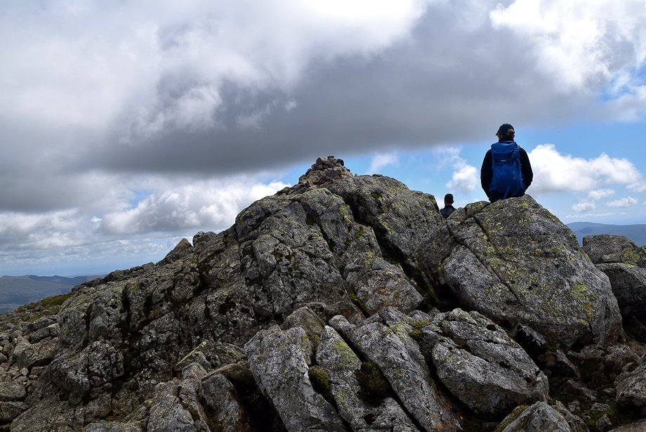 |
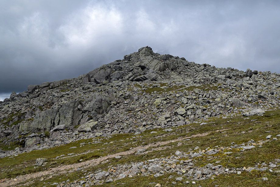
| The summit cairn on Scafell |
 |
| Esk Pike and Bowfell from the summit of Scafell |
 |
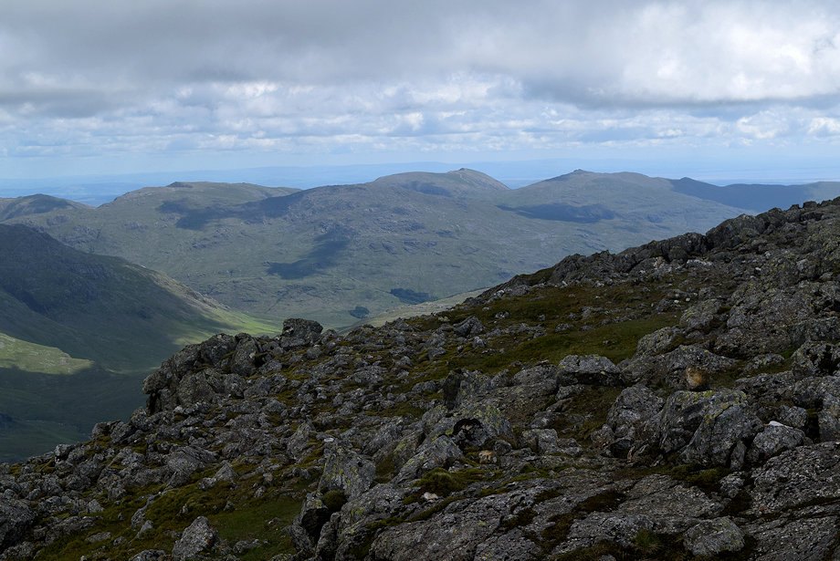
| Crinkle Crags from the summit of Scafell |
 |
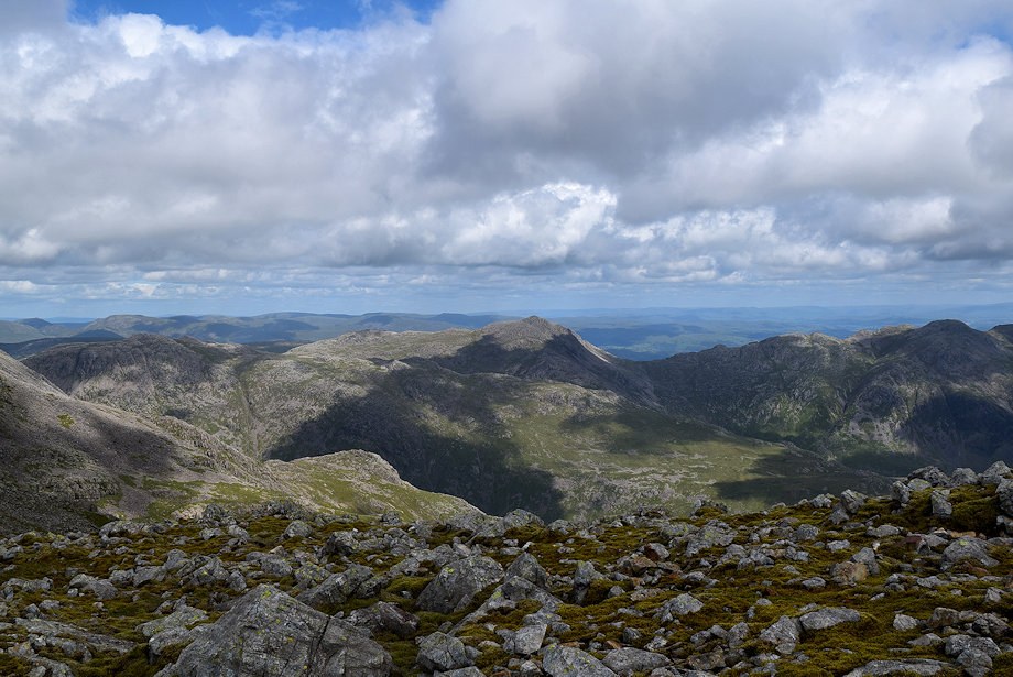
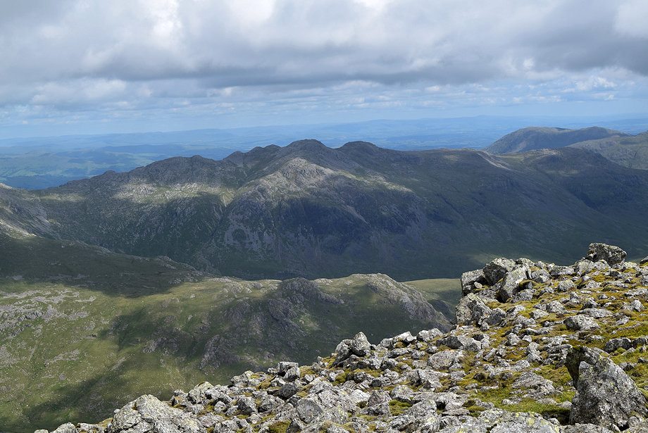
| The Coniston Fells from the summit of Scafell |
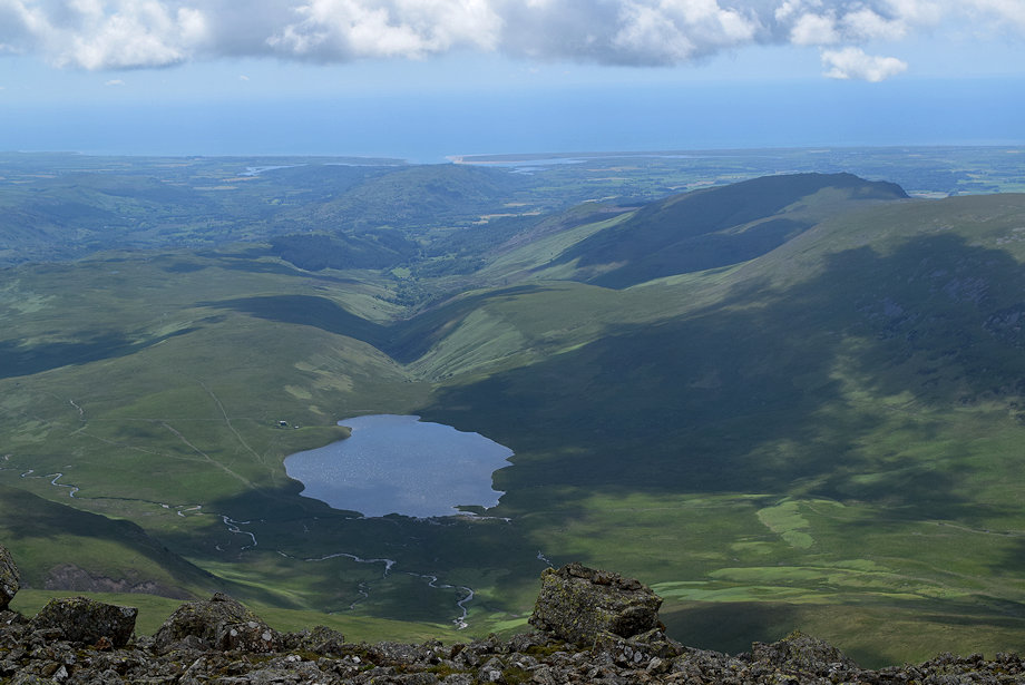 |
| Burnmoor Tarn from the summit of Scafell |
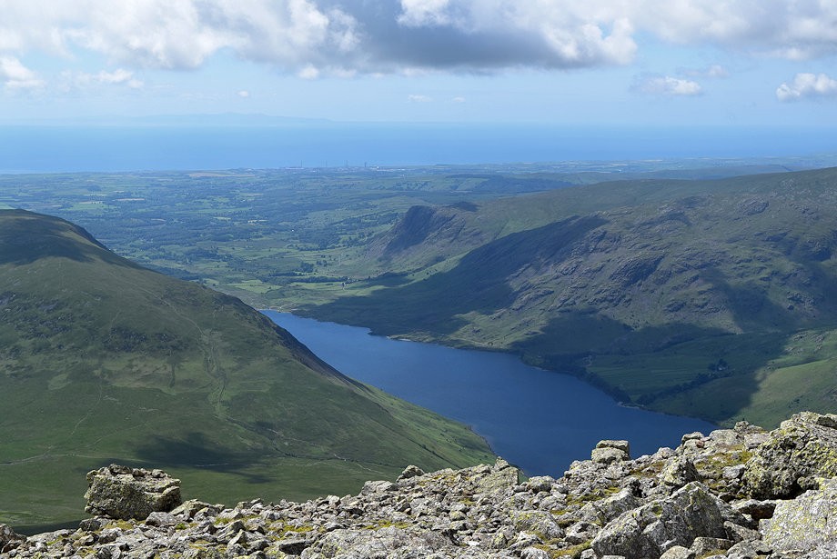 |
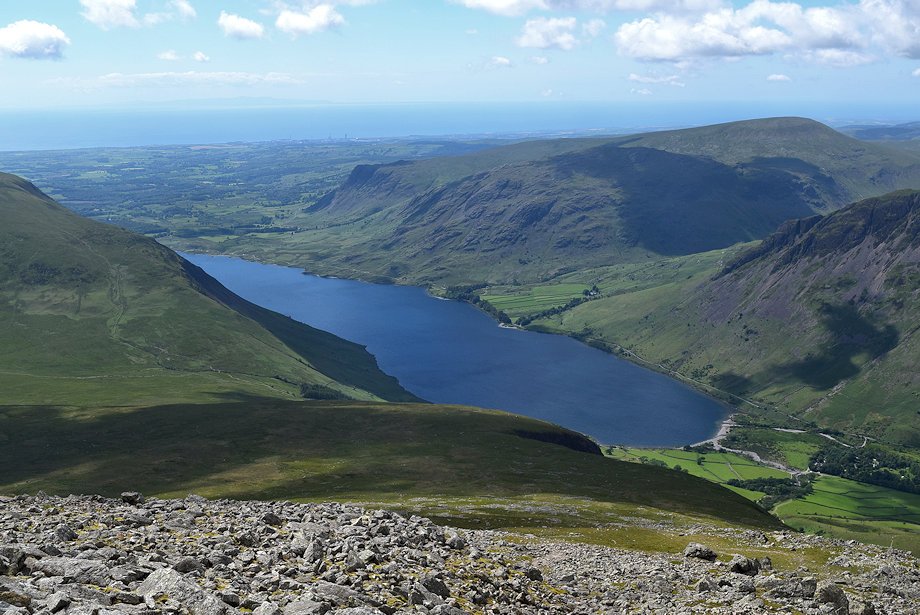
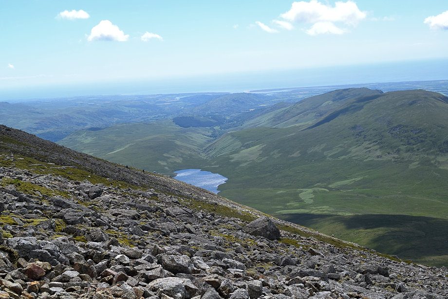
| Wast Water from the summit of Scafell |
 |
| Yewbarrow from the summit of Scafell |
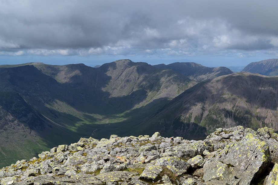 |
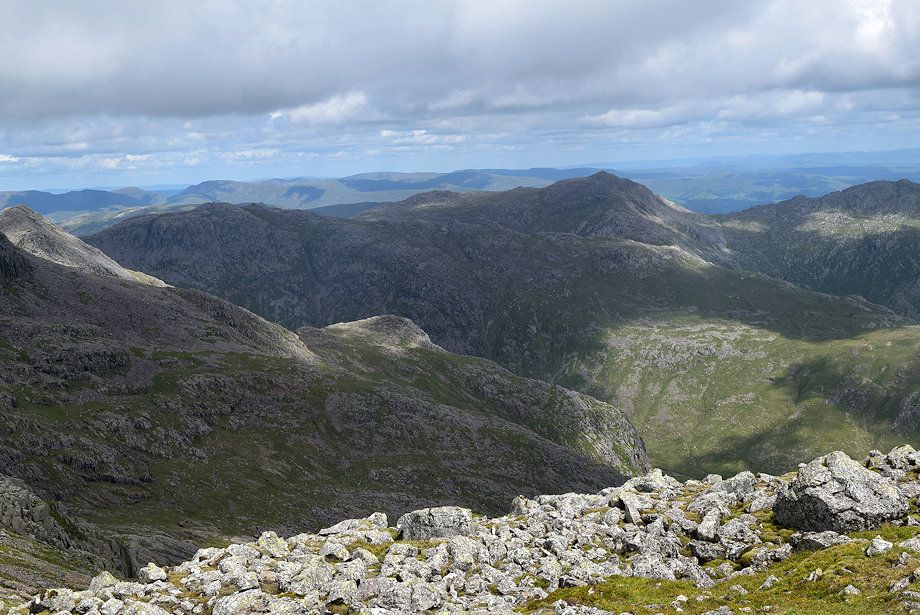
| The Mosedale Horseshoe from the summit of Scafell |
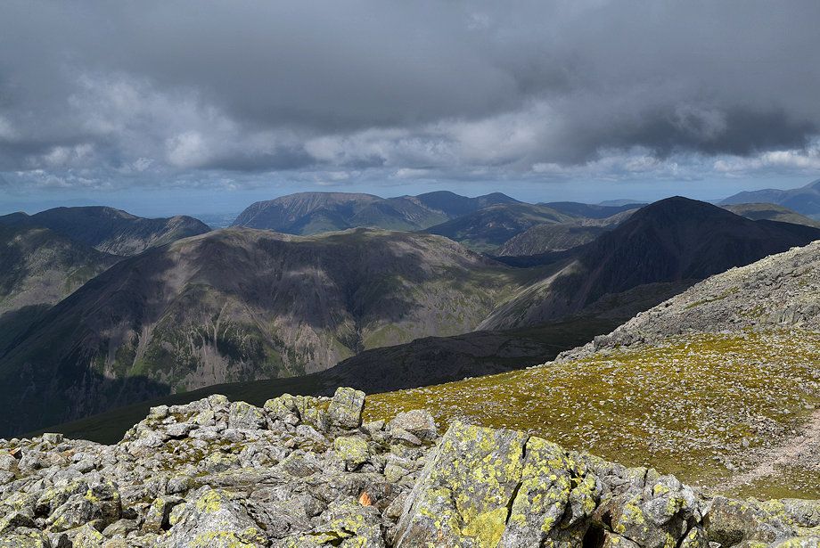 |
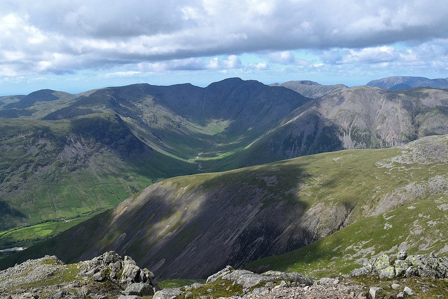
| Kirk Fell and Great Gable with the High Stile ridge on the left and the Grasmoor group of fells in the centre |
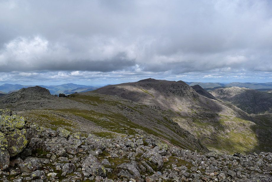 |
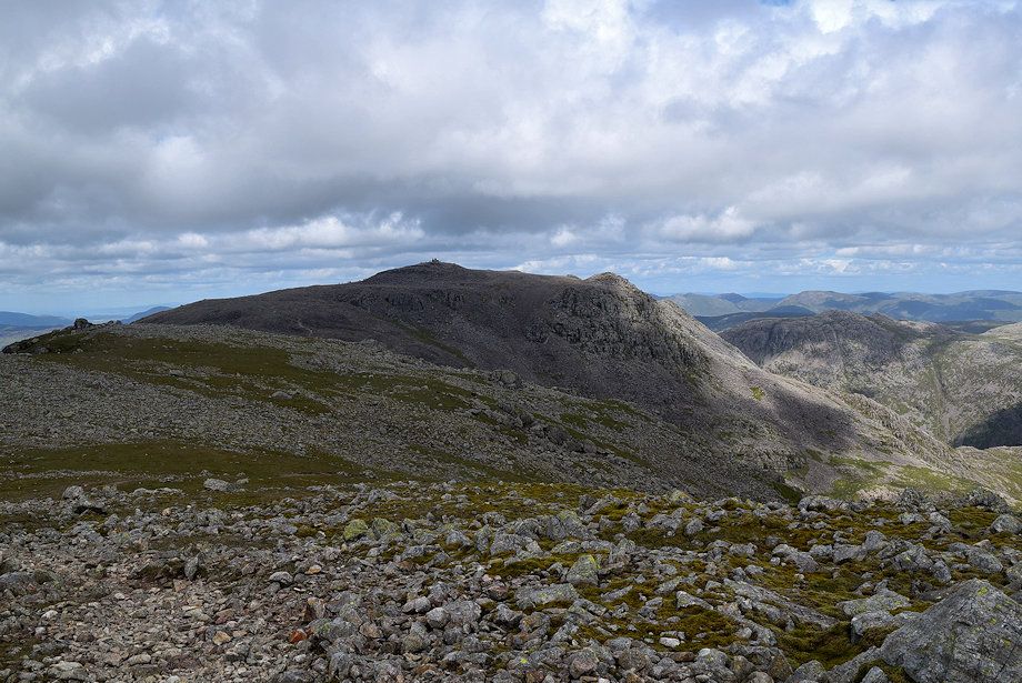
| Symonds Knott and Scafell Pike from the summit of Scafell |
