 |
|
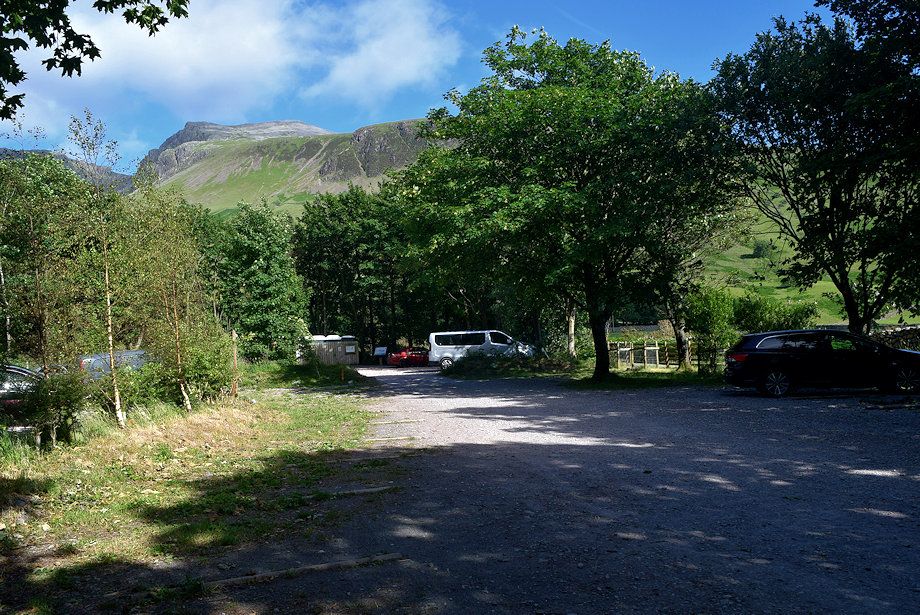
The National Trust car park which is adjacent to the camp site is the starting point for this walk
|
 |
| On leaving the car park follow the Old Corpse Road track which is signed for Eskdale and Miterdale. The track soon splits - keep left at the fork and follow a permissive path which avoids Brackenclose, the Fell and Rock Climbing Club hut, set in its wooded enclosure |
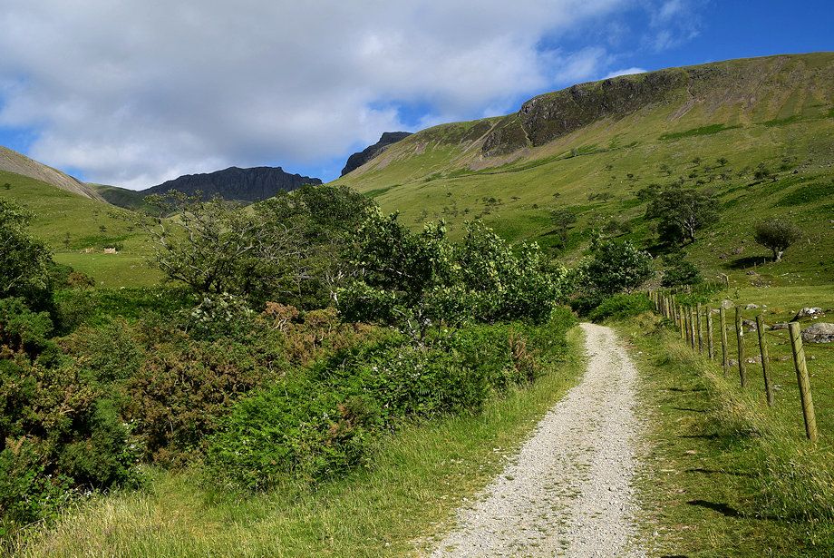 |
| The permissive path runs alongside Lingmell Gill towards a footbridge where it joins a Right of Way path |
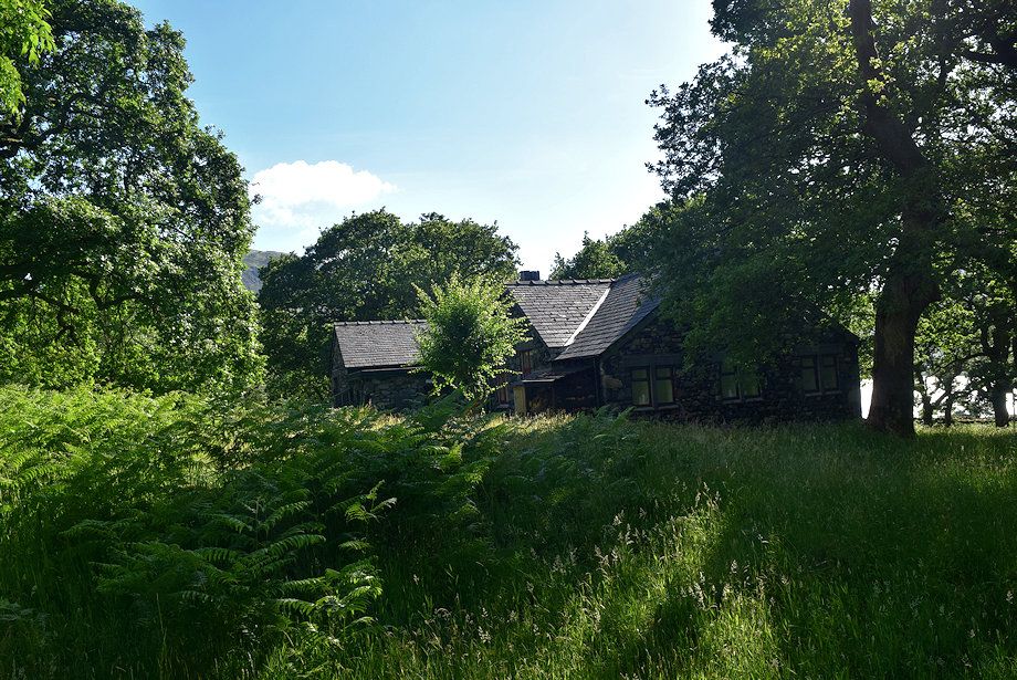 |
| Brackenclose from the permissive path |
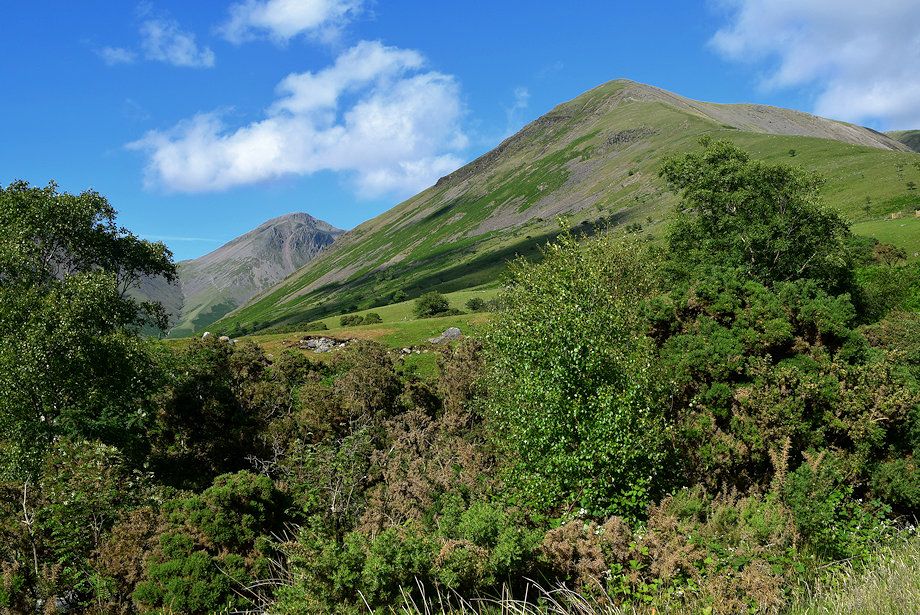 |
| Looking over to Great Gable and Lingmell from the permissive path |
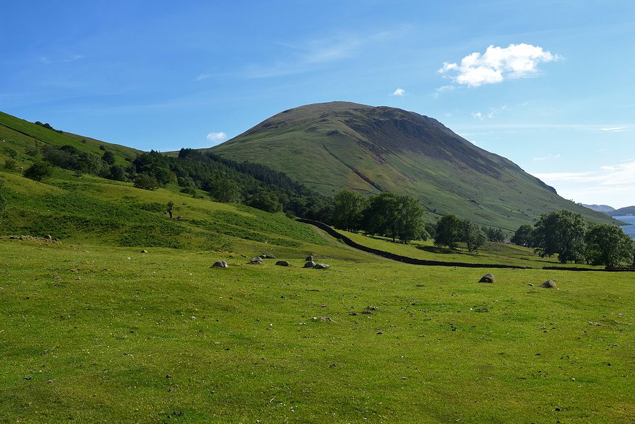 |
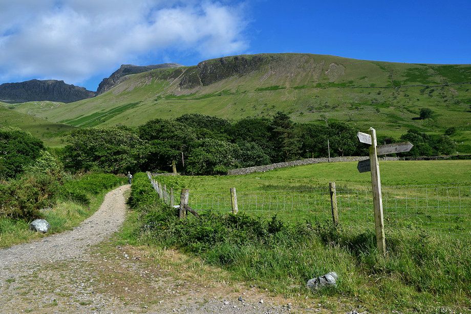
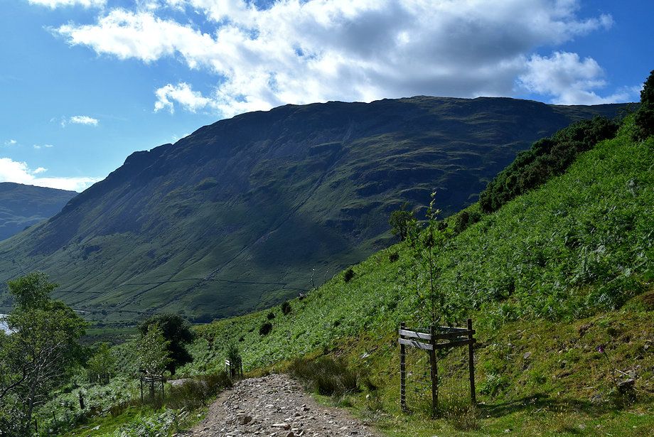
| Illgill Head from the permissive path |
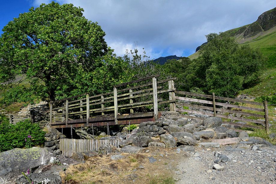 |
| The footbridge over Lingmell Gill |
 |
| Over the footbridge the path rises to a handgate where it is joined by a permissive path which comes up directly from the campsite |
 |
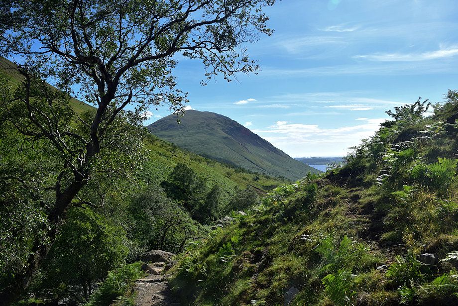
| Looking back to Yewbarrow from the handgate |
 |
| The path continues alongside the tree-shrouded Lingmell Gill ravine towards another handgate in the intake wall |
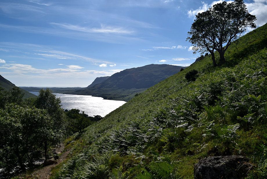 |
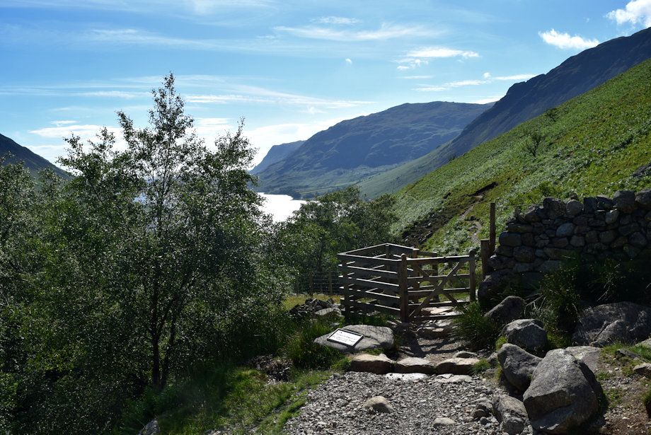
| Looking back to Buckbarrow and Middle Fell across Wast Water from the path alongside Lingmell Gill |
 |
| Looking back to Illgill Head from the path alongside Lingmell Gill |
 |
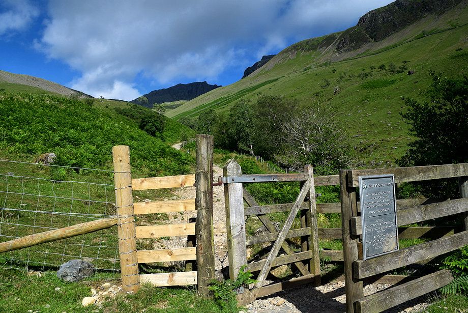
| Approaching the second handgate which gives access to the open fellsides. Shortly before reaching the gate another path joins from the left which comes up from the large parking area on Wasdale Green |
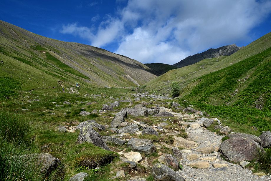 |
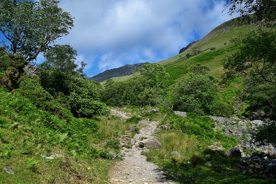
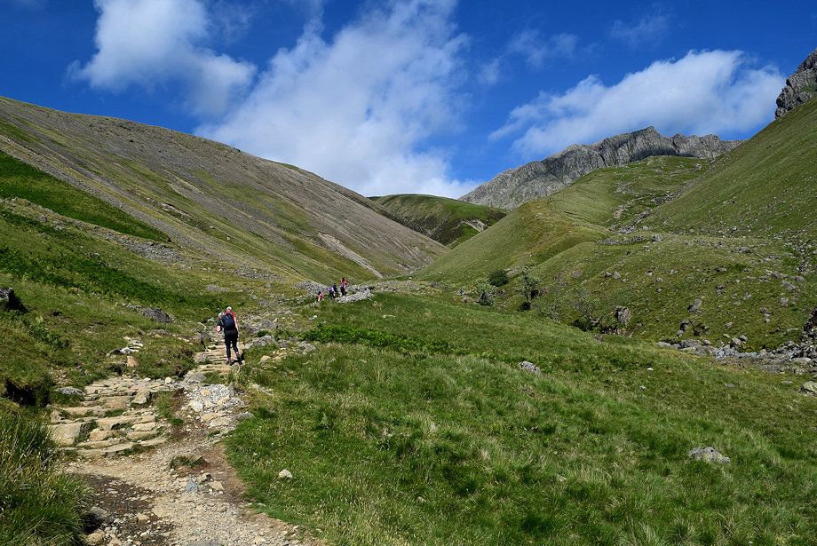
| The path continues from the handgate to climb steadily towards Brown Tongue |
 |
| Looking back from the handgate |
 |
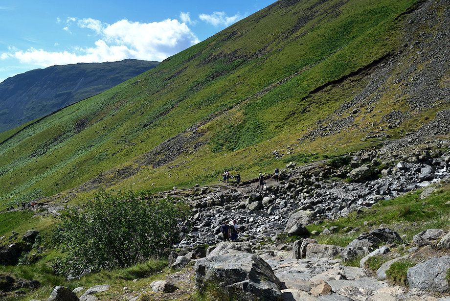
| Approaching Brown Tongue where the path crosses over Lingmell Gill |
 |
| The crossing point over Lingmell Gill |
 |
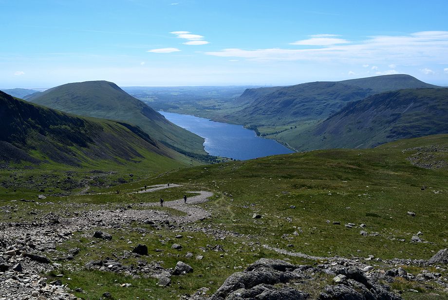
| Looking back to Wast Water from the crossing point over Lingmell Gill |
 |
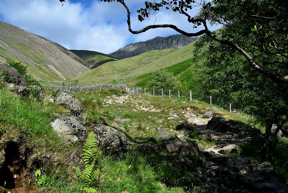
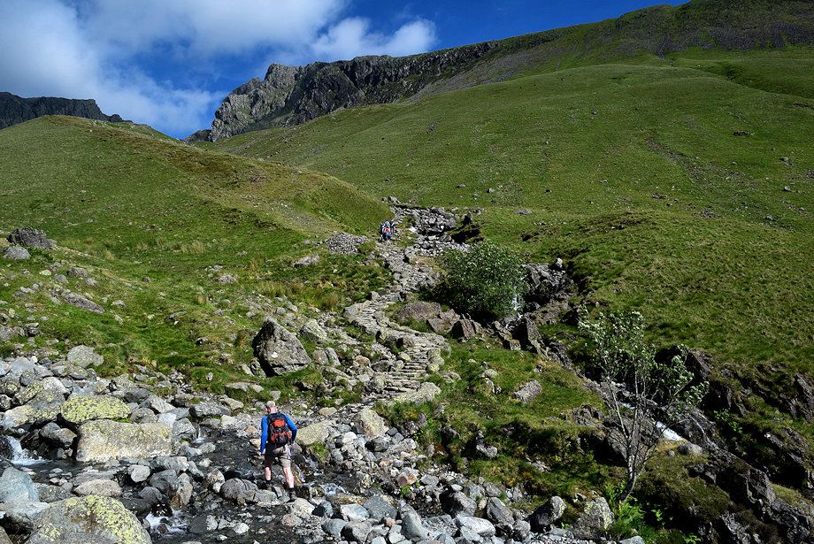
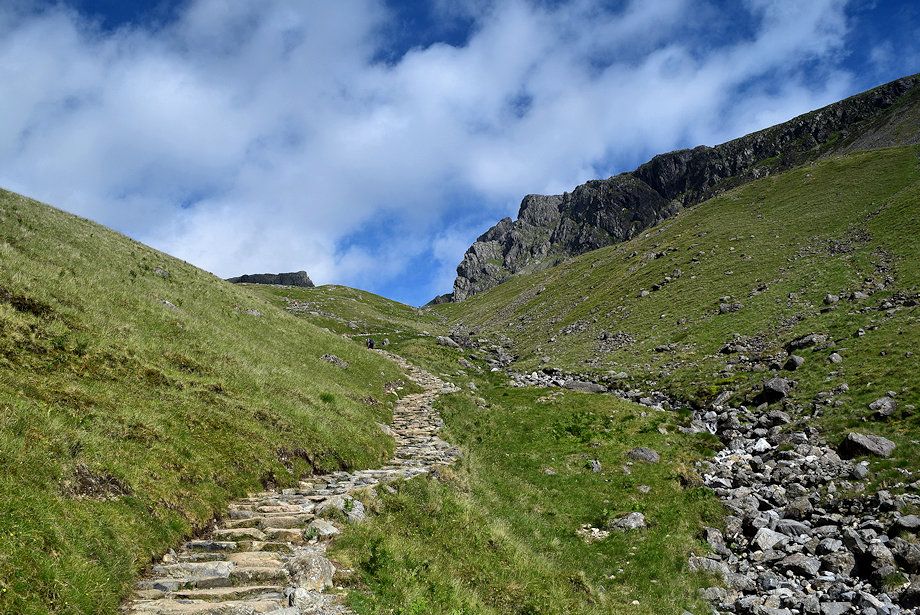
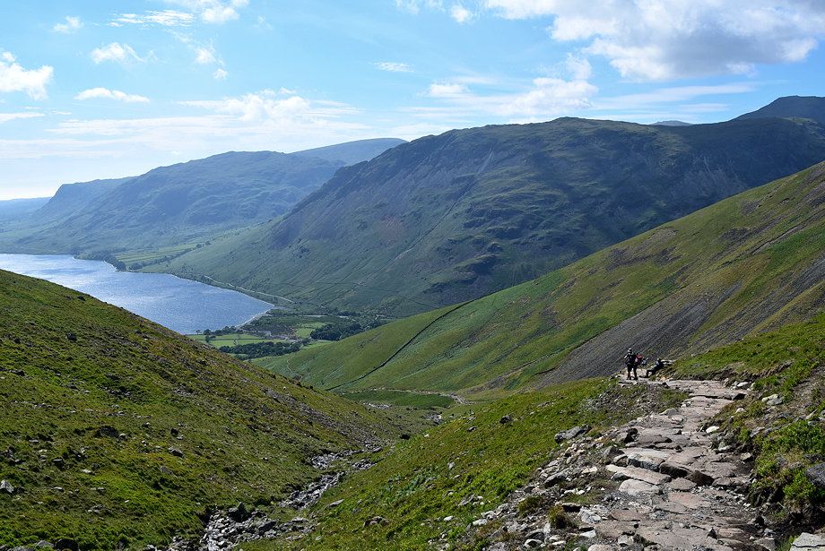
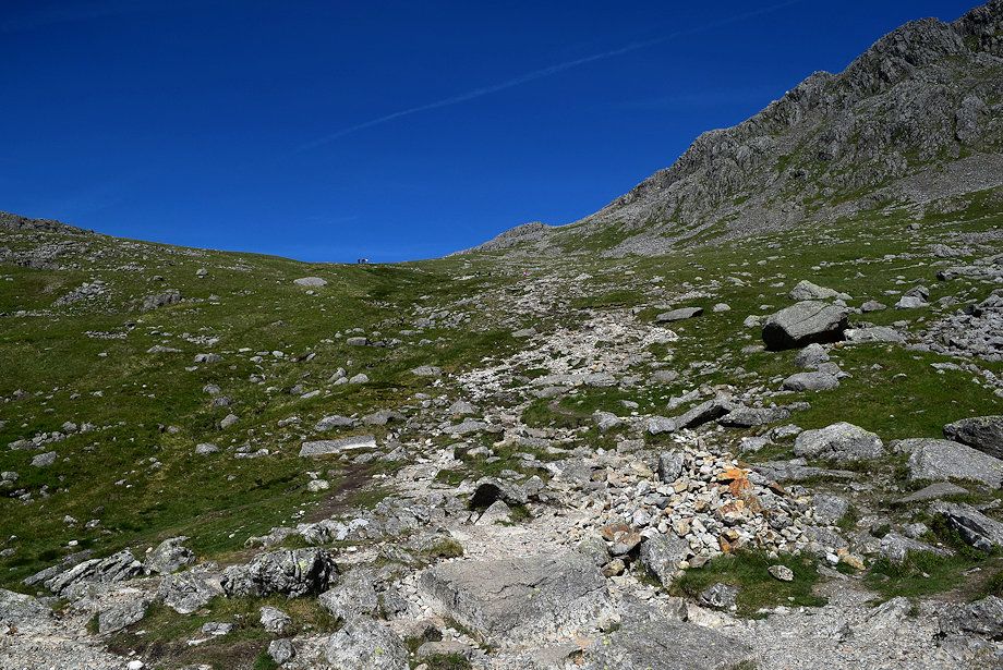
| Over the crossing point a stone-pitched path climbs along the southern flank of Brown Tongue following the course of an unnamed stream |
 |
| Looking back to the crossing point over Lingmell Gill |
|
|
| The stone-pitched path alongside the unnamed stream |
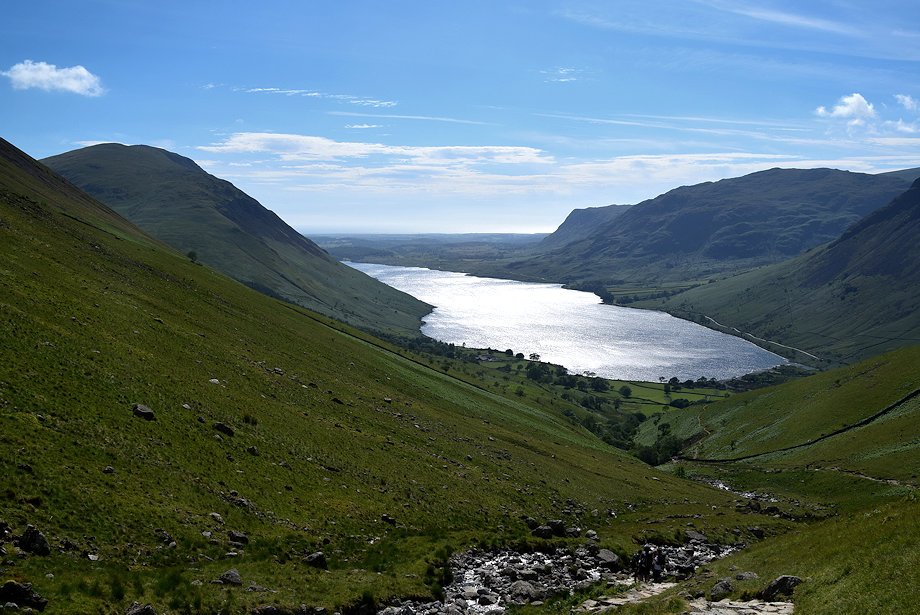 |
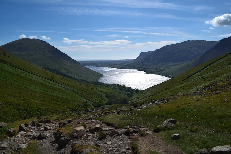
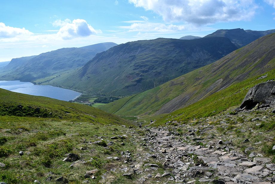
| Looking back to Wast Water |
 |
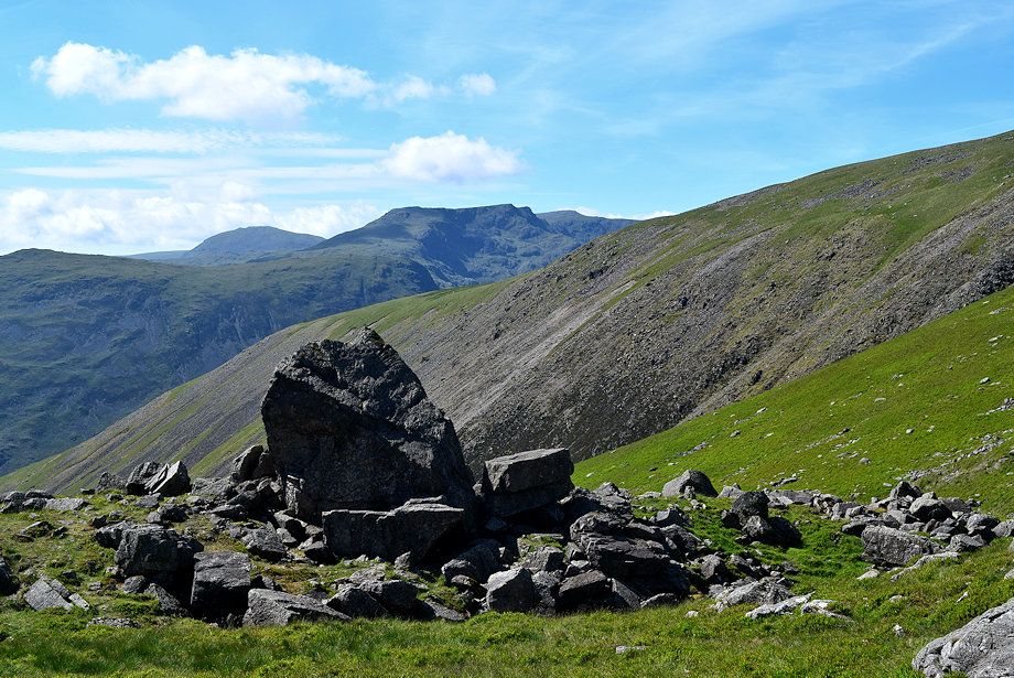
| Yewbarrow and Red Pike across Lingmell's west ridge |
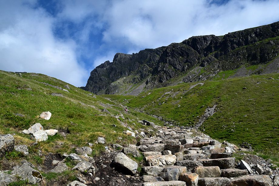 |
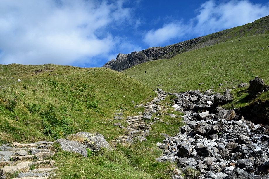
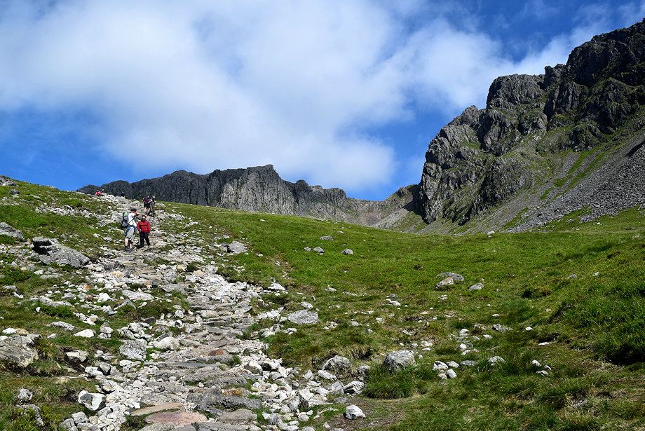
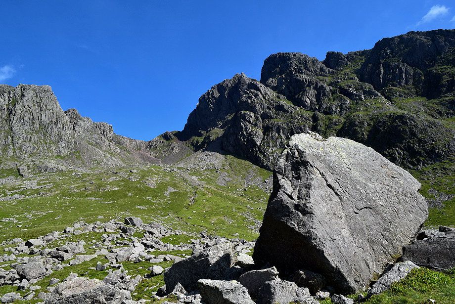
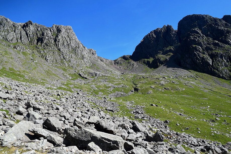
| Scafell Crag and Black Crag |
 |
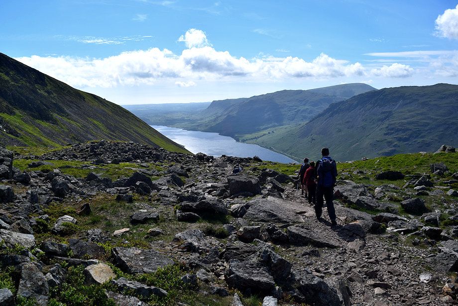
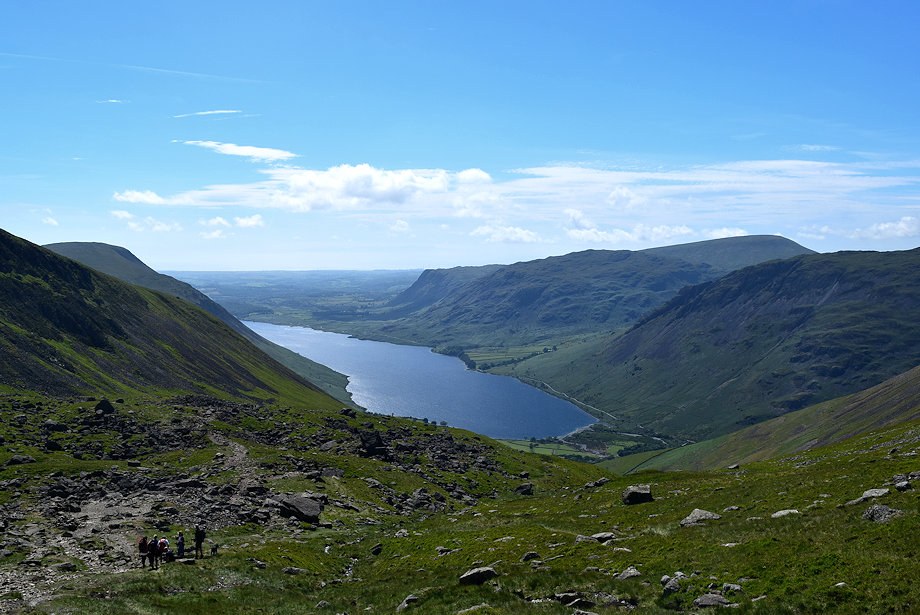
| Looking back to Wasdale from high on the stone-pitched path |
 |
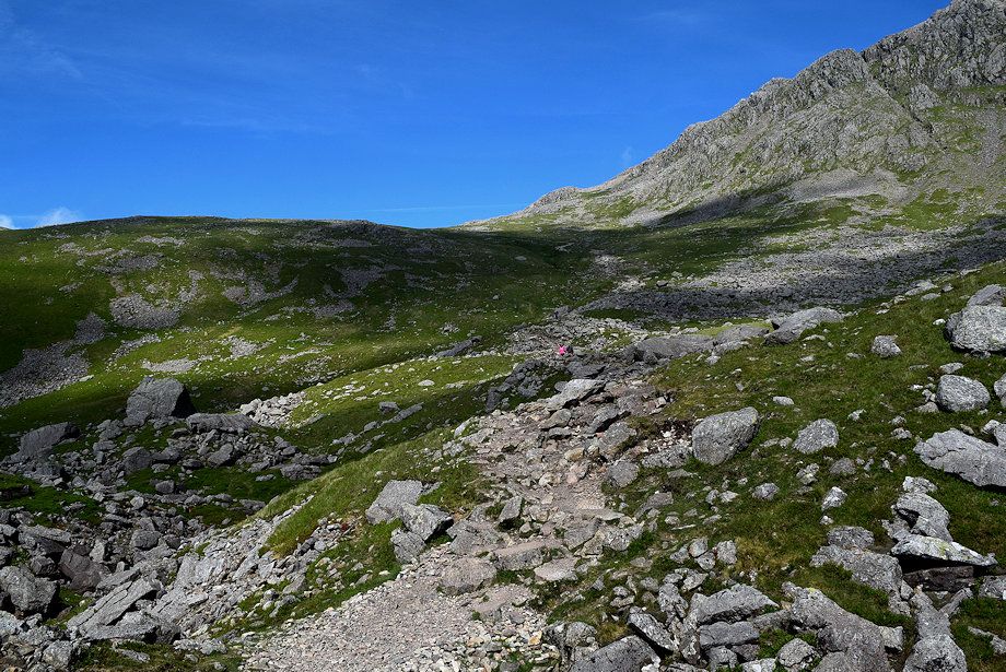
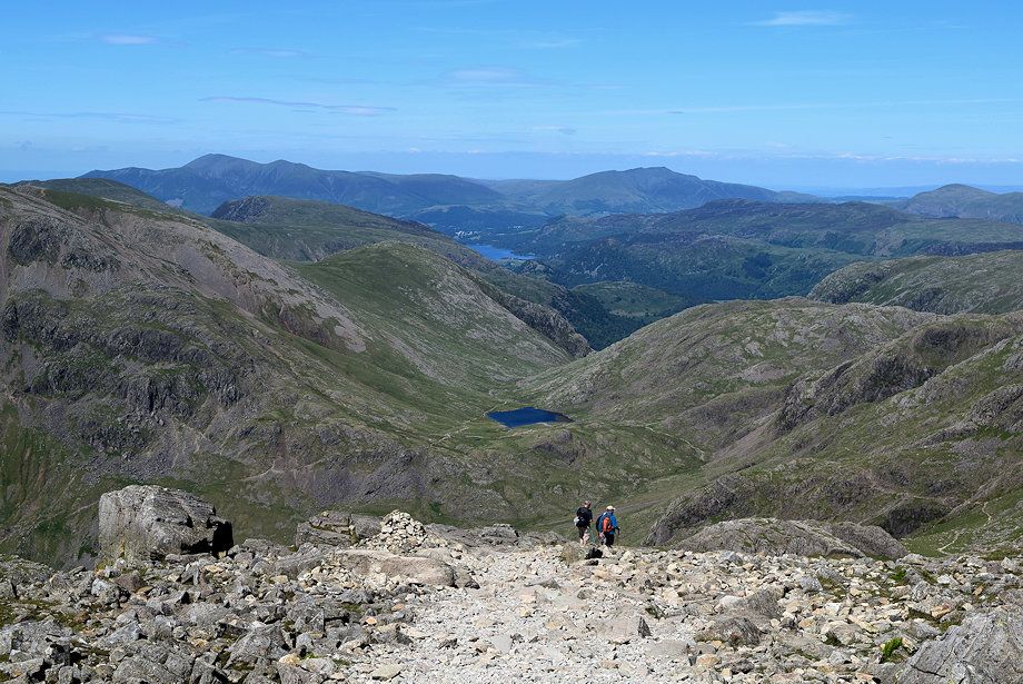
| Approaching the top of Brown Tongue where the path splits. The right branch turns off towards Mickledore while the main path continues straight ahead to cross Hollow Stones and traverses below Pikes Crag |
 |
| Looking back from the top of Brown Tongue |
 |
| The path across Hollow Stones |
 |
| Pulpit Rock, Mickledore and Scafell Crag from Hollow Stones |
 |
| Wast Water from Hollow Stones |
 |
| Yewbarrow, Haycock, Red Pike and Scoat Fell across the west ridge of Lingmell from Hollow Stones |
 |
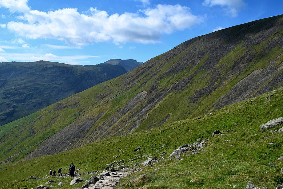
| The path continues to climb towards the ridge-line above Lingmell col |
 |
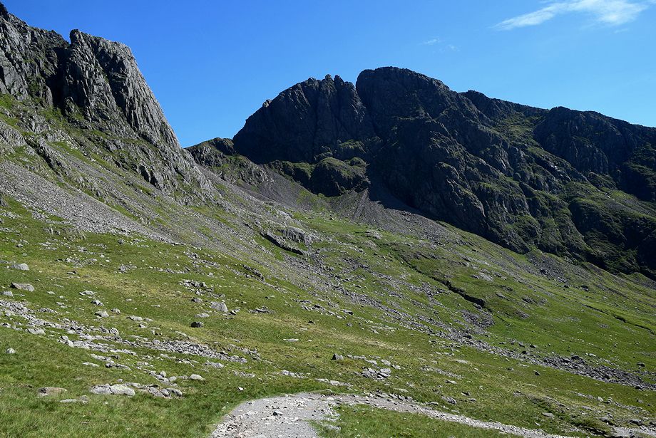
| Pikes Crag, Mickledore and Scafell Crag from the climb to the ridge-line |
 |
| Looking back to Hollow Stones |
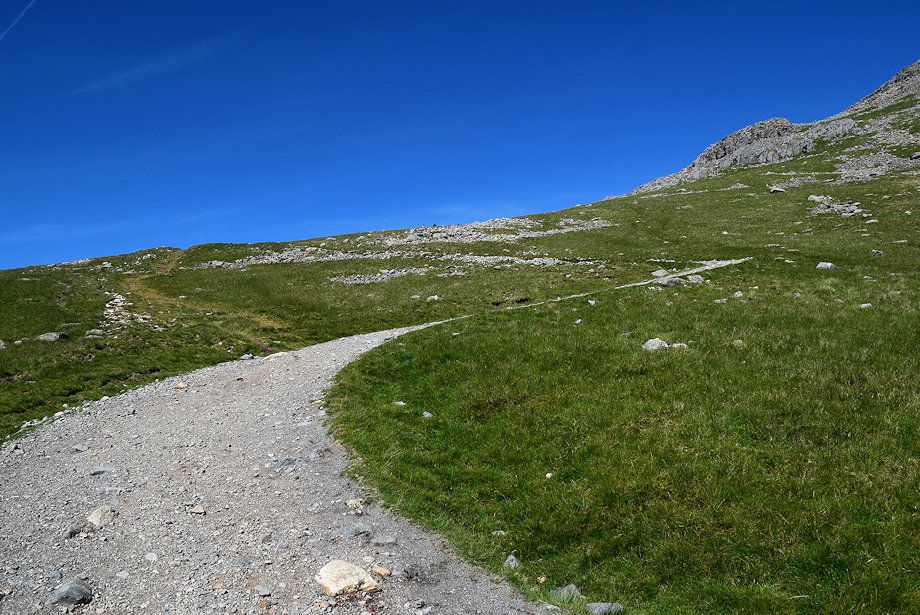 |
| Part of the path has been repaired and re-aligned in a series of wide zig-zags |
 |
| Looking back to Scafell Crag |
 |
| Approaching the ridge-line |
 |
| Looking back alongthe zig-zag path |
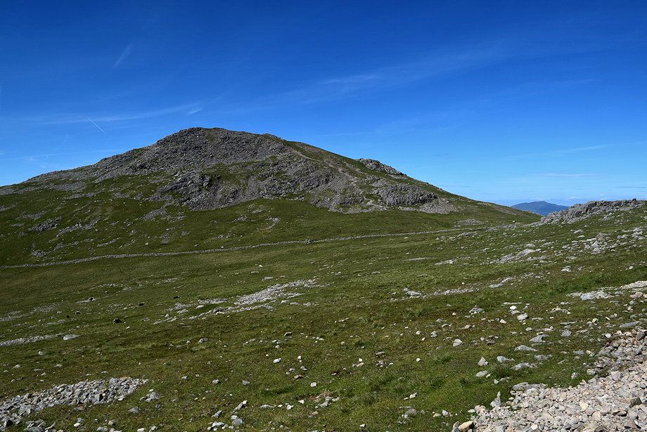 |
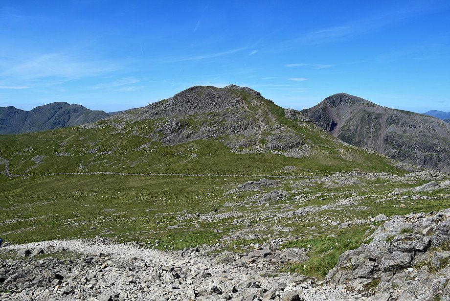
| Looking over to the summit of Lingmell |
 |
| Blencathra appears over the ridge-line |
 |
| A large cairn marks the point where the Corridor Route, which comes up from Sty Head, joins the Hollow Stones path and the start of the path up the north-west ridge of Scafell Pike |
 |
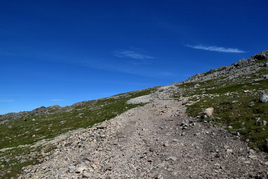
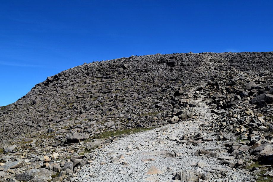
| The start of the path up the broad north-west ridge |
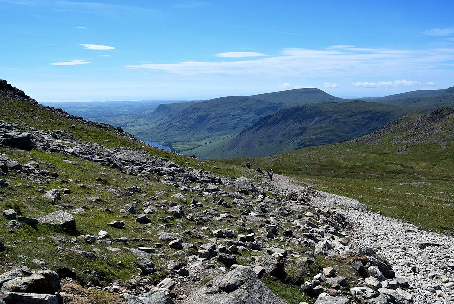 |
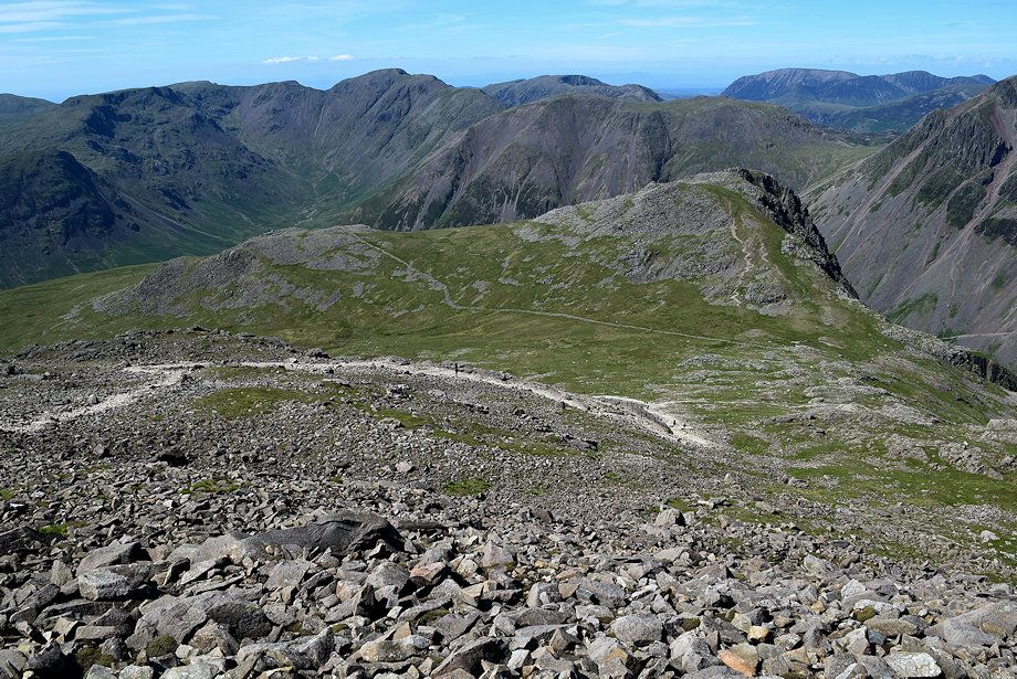
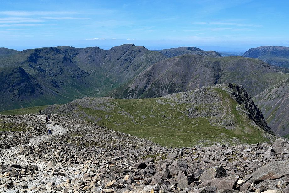
| Looking back from the start of the path up the north-west ridge |
 |
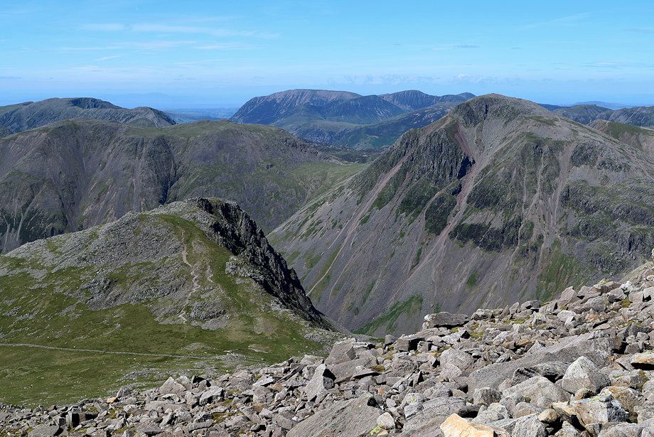
| Lingmell across Lingmell col flanked by Pillar on the left and Great Gable on the right from the start of the path up the north-west ridge |
 |
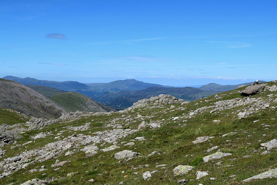
| Looking over to Middle Fell, Seatallan, Yewbarrow, Caw Fell, Haycock, Red Pike and Scoat Fell |
 |
| Great Gable with Skiddaw and Blencathra on the horizon |
 |
| Broad Crag and Dropping Crag |
 |
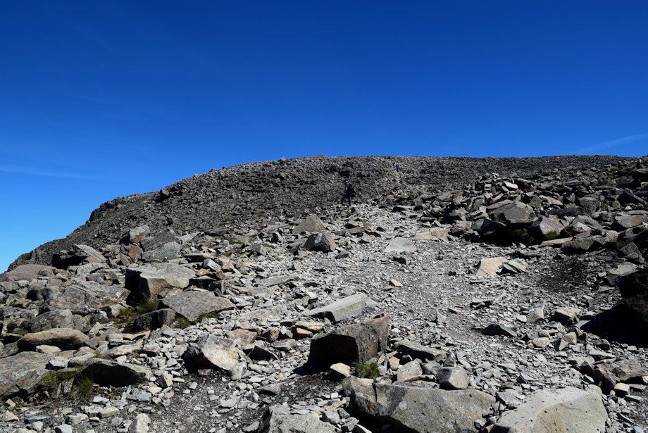
| It's only a 650 foot climb up the north-west ridge and little over half a mile to reach the summit - but it seems much longer! |
 |
| Skiddaw and Blencathra from the north-west ridge |
 |
| Red Pike, Scoat Fell, Black Crag and Pillar enclosing the head of Mosedale |
 |
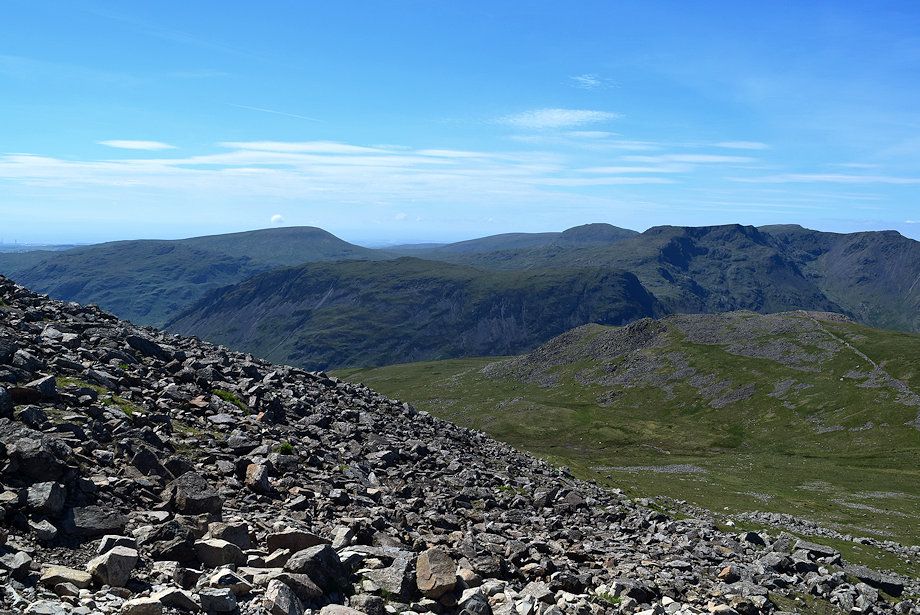
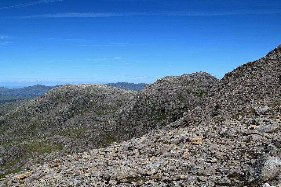
| Great End with Clough Head, Great Dodd and Stybarrow Dodd on the left skyline |
 |
| Halfway up the north-west ridge |
 |
| Looking down on Lingmell col |
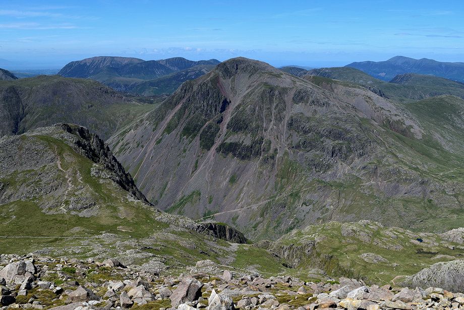 |
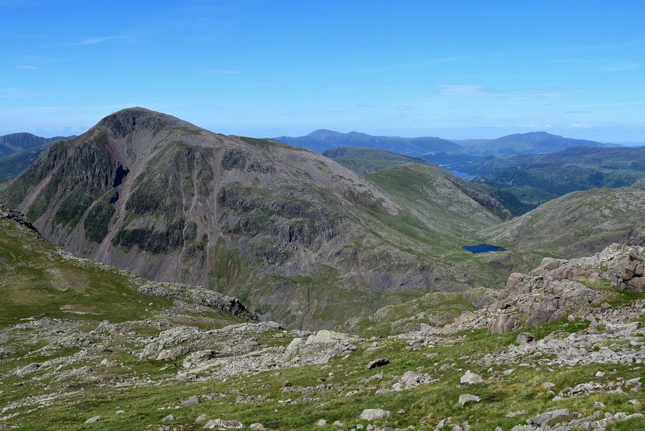
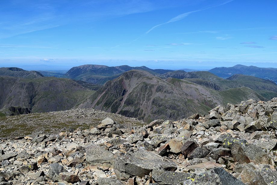
| Great Gable from the north-west ridge |
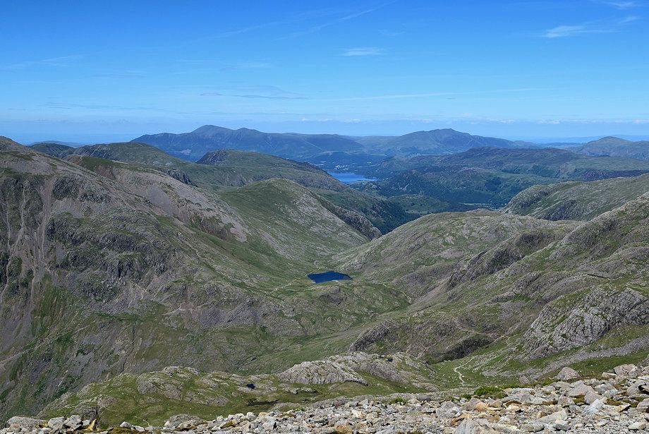 |
| Looking down on Sty Head, the Corridor Route path can be seen winding its way up from near the tarn |
 |
| Helvellyn appears between Great End and Broad Crag |
 |
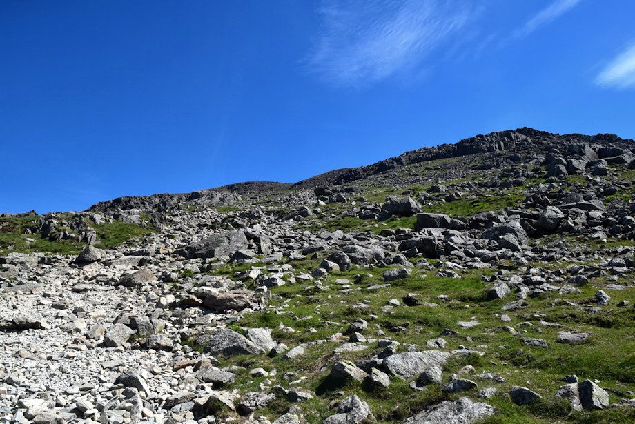
| The steepest part of the north-west ridge |
 |
| Grasmoor, Wandope and Eel Crag across the slopes of Kirk Fell and Great Gable |
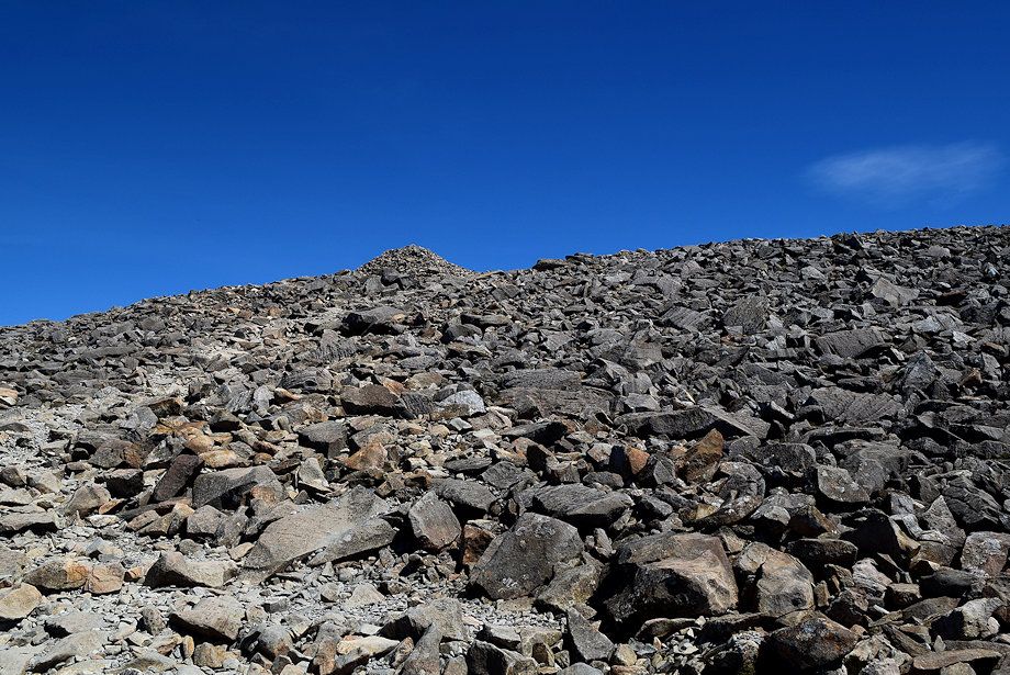 |
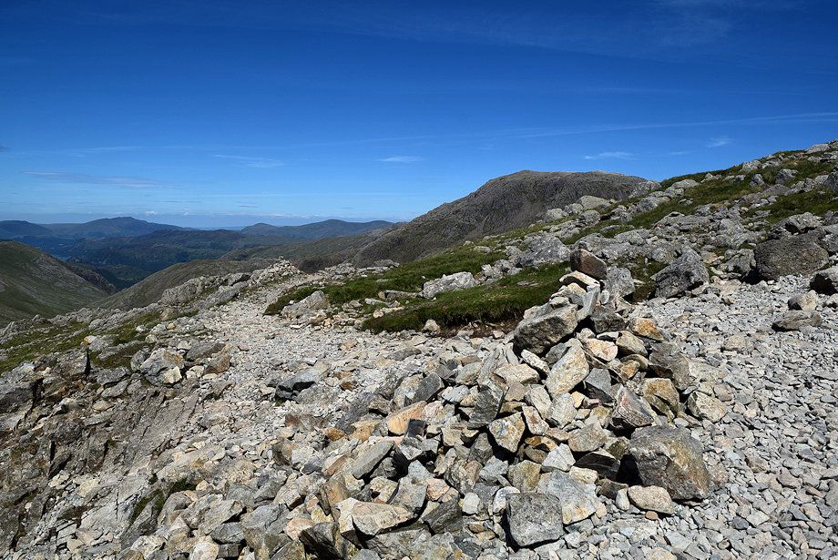
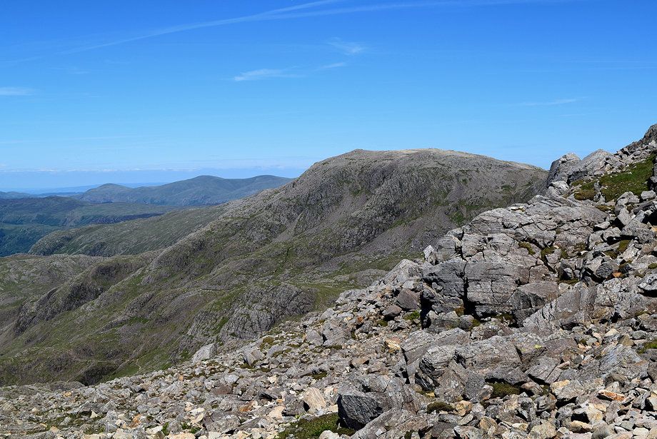
| The path approaches a large marker cairn from where the summit of Scafell Pike will come into view |
 |
| The Mosedale Horseshoe over the west ridge of Lingmell |
 |
| The summit of Scafell Pike from the marker cairn |
 |
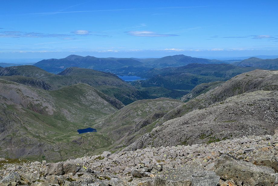
| Skiddaw, Derwent Water and Blencathra from the marker cairn |
 |
| Lingmell and Great Gable from the marker cairn with High Stile over Kirk Fell on the left |
 |
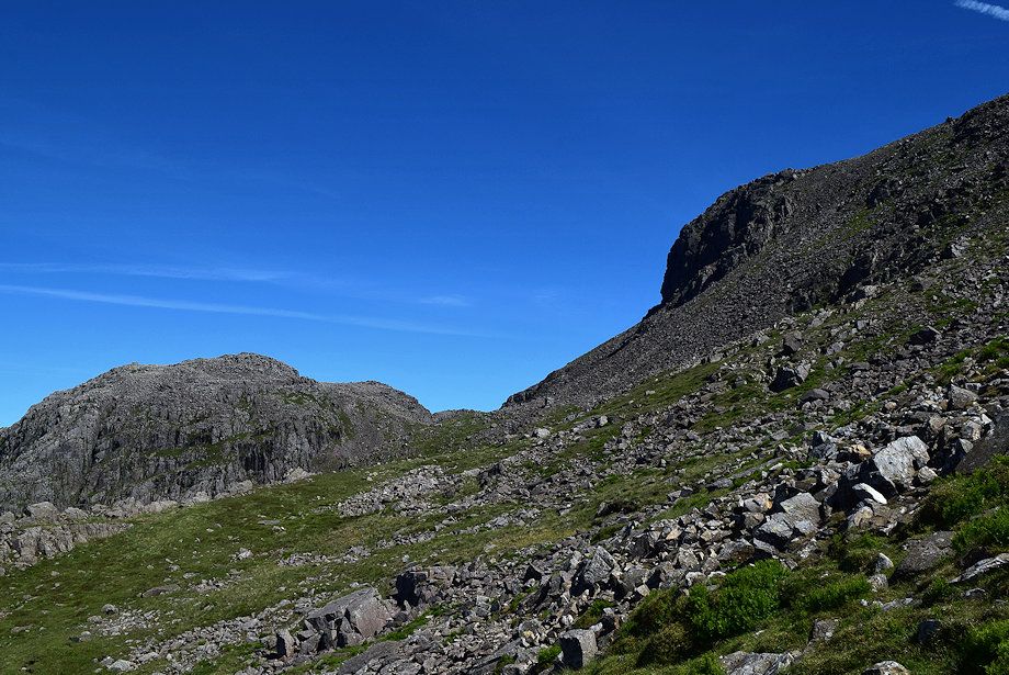
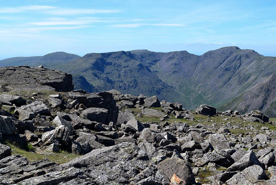
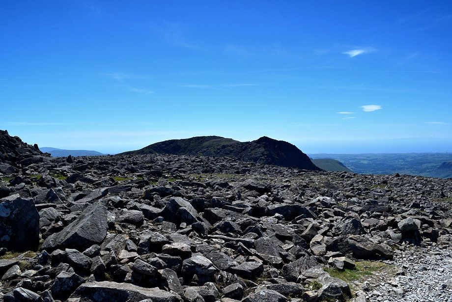
| Looking over towards Scafell from the climb to the summit |
 |
| The North Western Fells beyond the summit of Great Gable with Skiddaw on the right from the climb to the summit |
 |
| The path rising from Mickledore joins from the right just below the final rise to the summit |
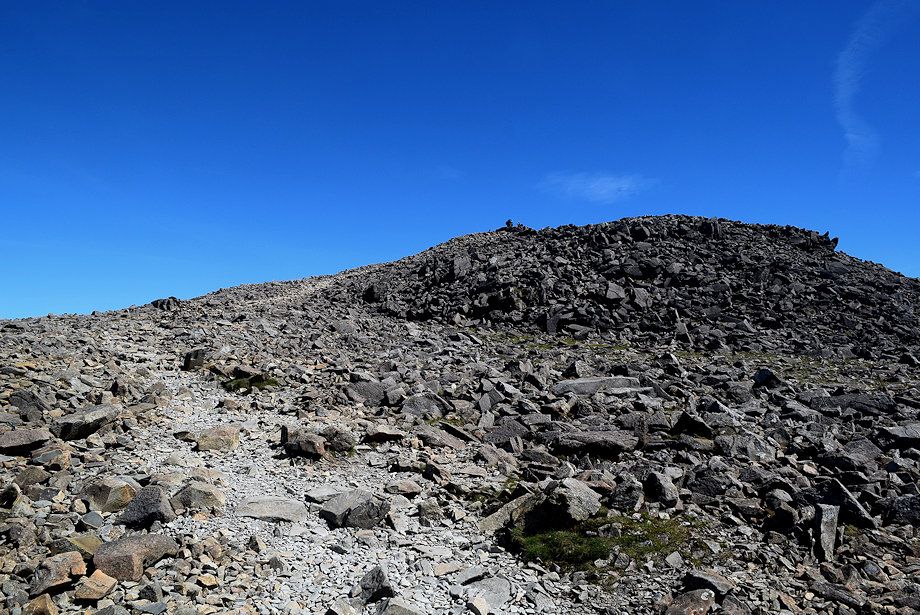 |
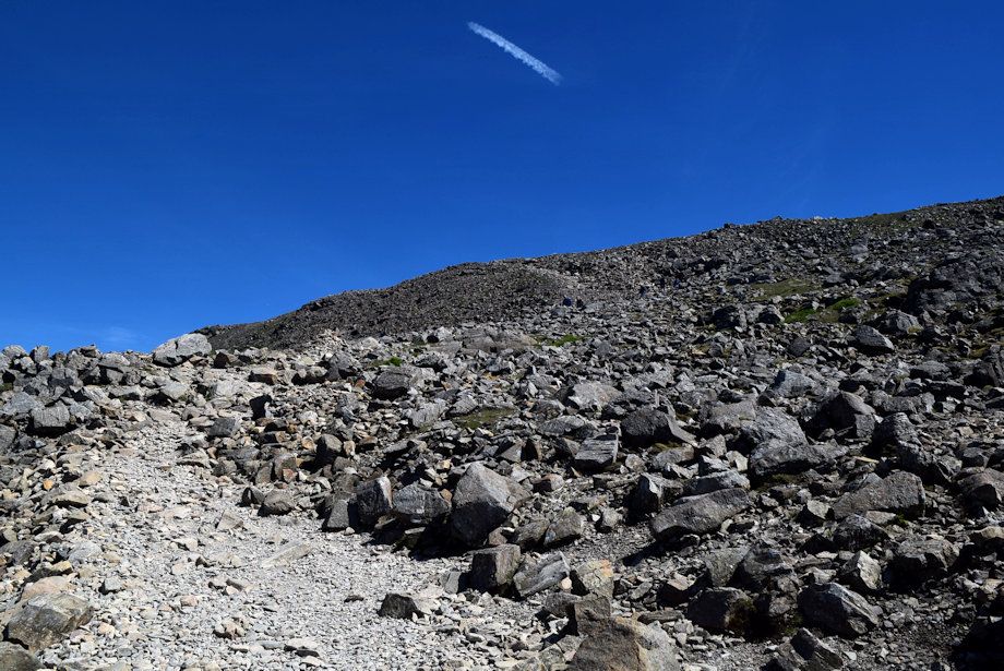
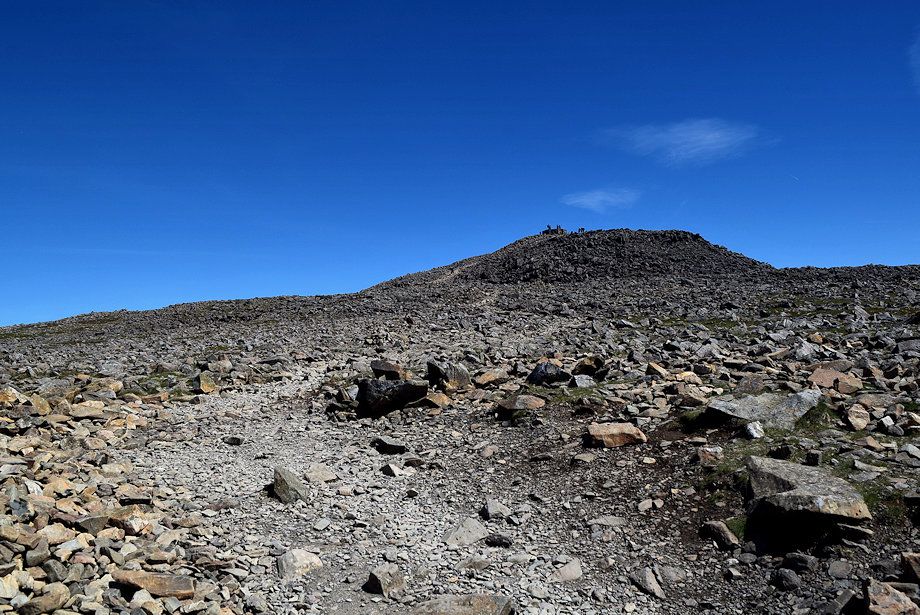
| Approaching the summit of Scafell Pike |
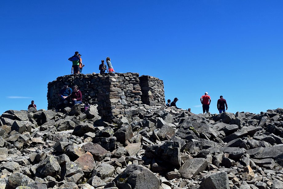 |
| The summit cairn on Scafell Pike |
 |
| Looking north to Skiddaw and Blencathra from the summit of Scafell Pike |
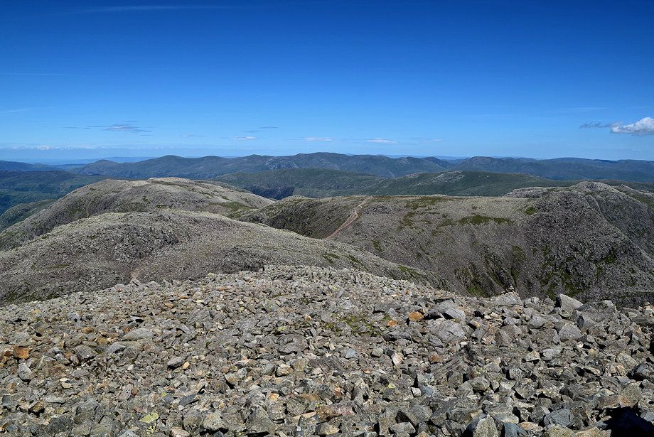 |
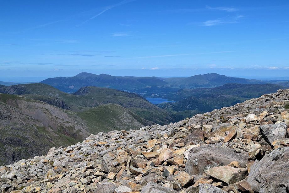
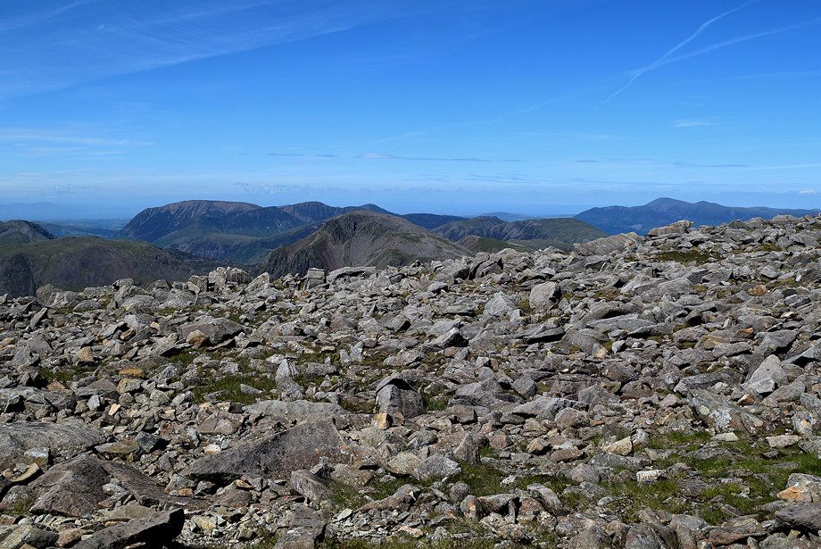
| Looking north-east across the summits of Broad Crag, Great End, and Ill Crag to the Helvellyn range and Fairfield group of fells |
 |
| Bowfell from the summit of Scafell Pike |
 |
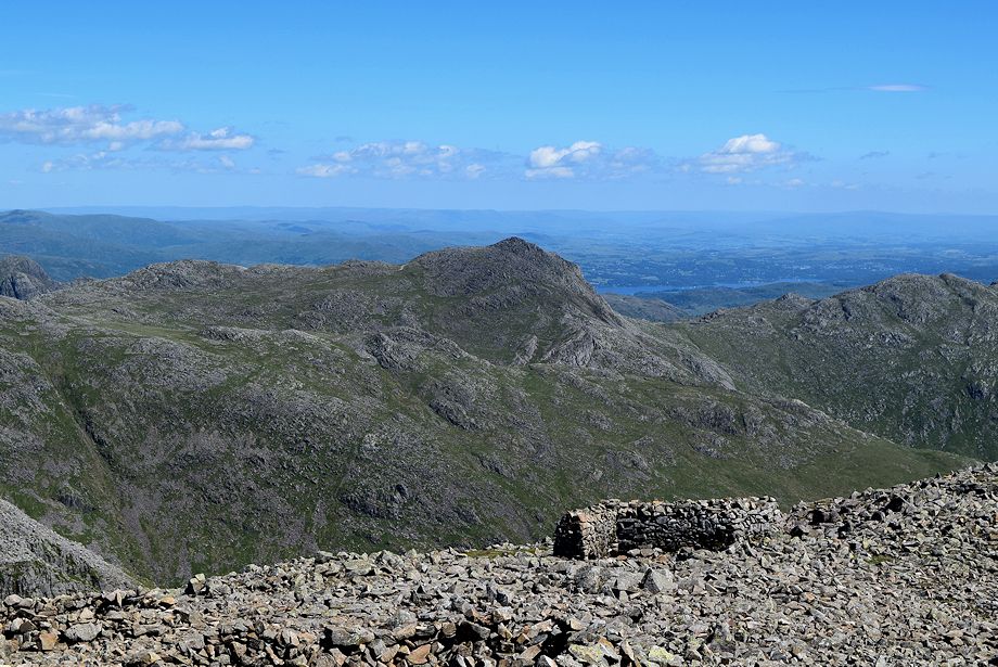
| Crinkle Crags from the summit of Scafell Pike with Wetherlam and Swirl How to the right |
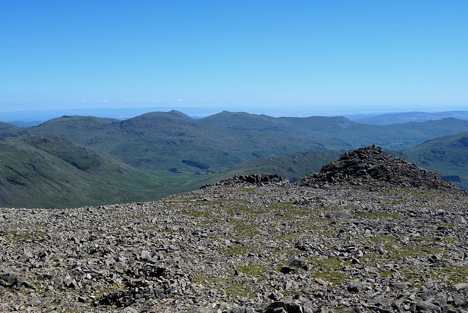 |
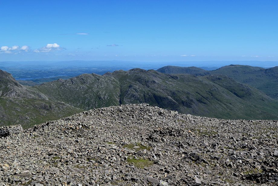
| The Coniston Fells across the south peak of Scafell Pike |
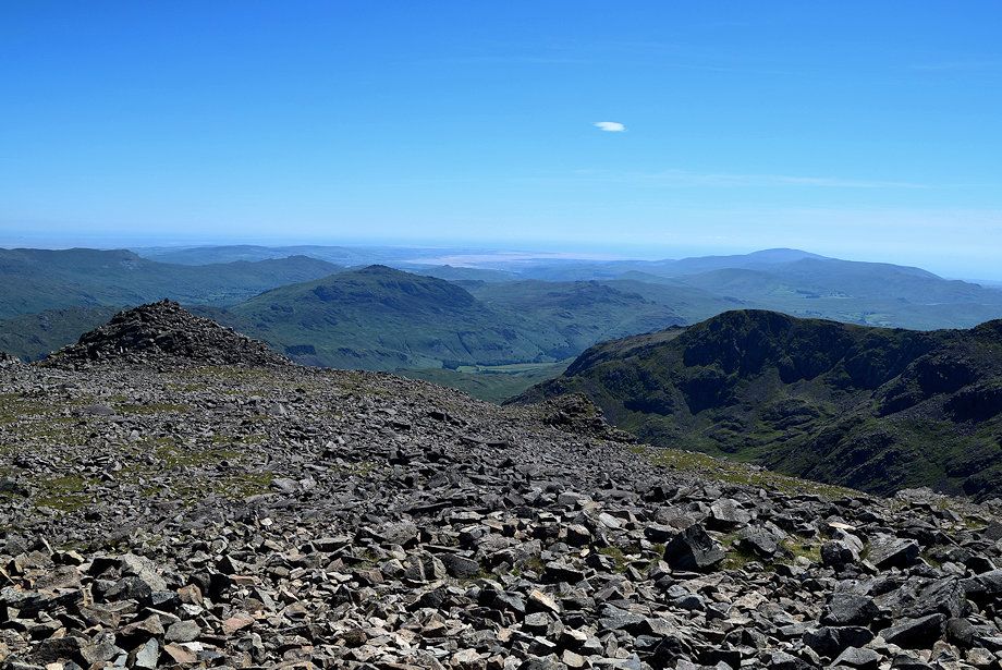 |
| Harter Fell with Black Combe on the horizon on the right over Scafell's Camcrag ridge |
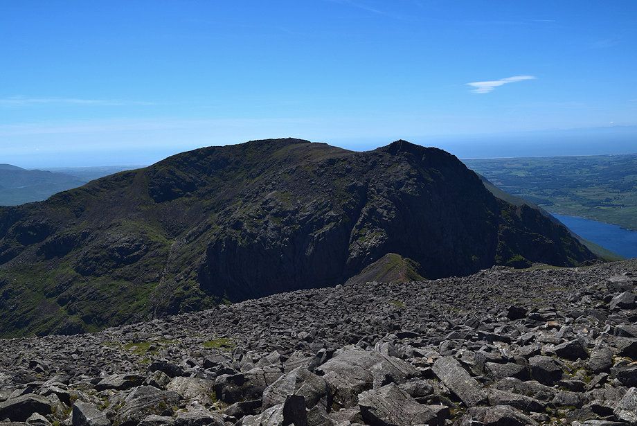 |
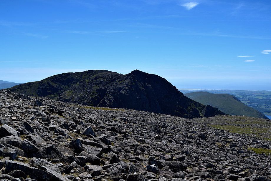
| Scafell from Scafell Pike |
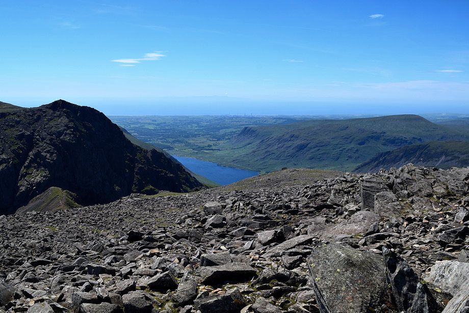 |
| Wast Water from Scafell Pike |
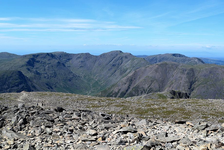 |
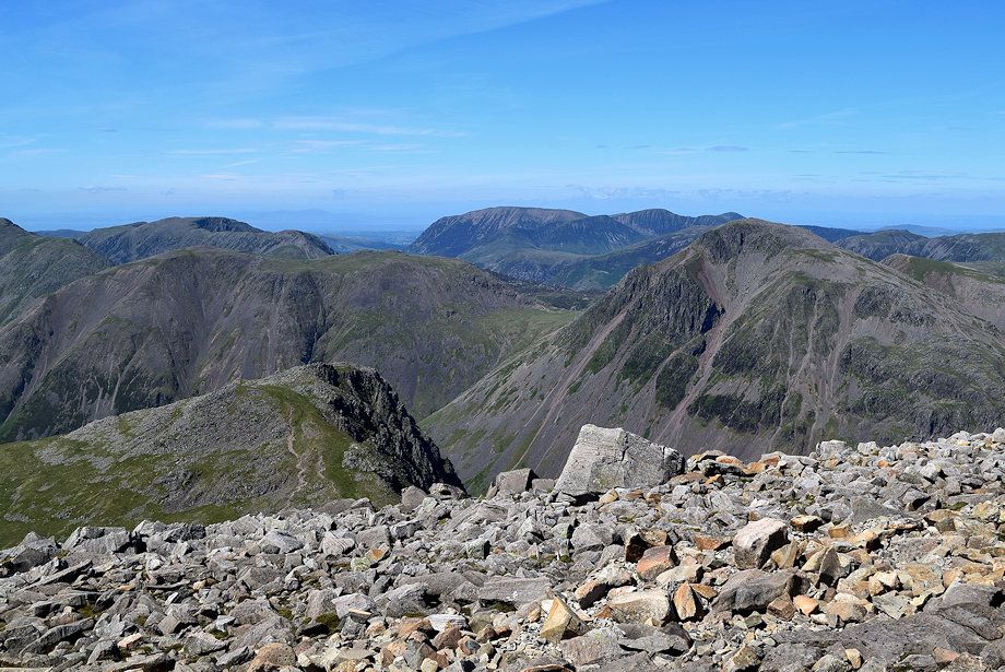
| The Mosedale Horseshoe from the summit of Scafell Pike |
 |
| Great Gable backed by the North Western Fells from the summit of Scafell Pike |
