 |
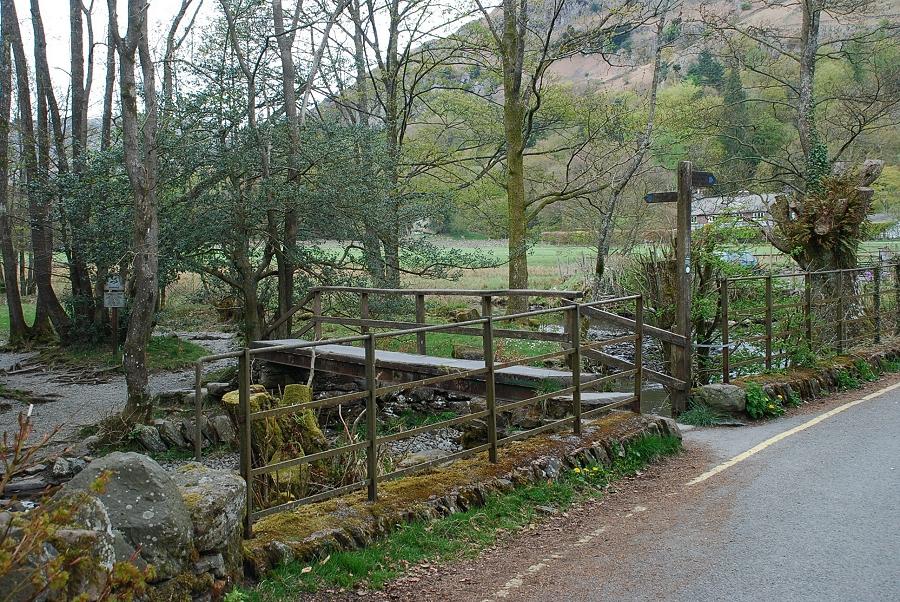
| The path to Easdale Tarn leaves Easedale Road via a footbridge almost opposite Oak Lodge |
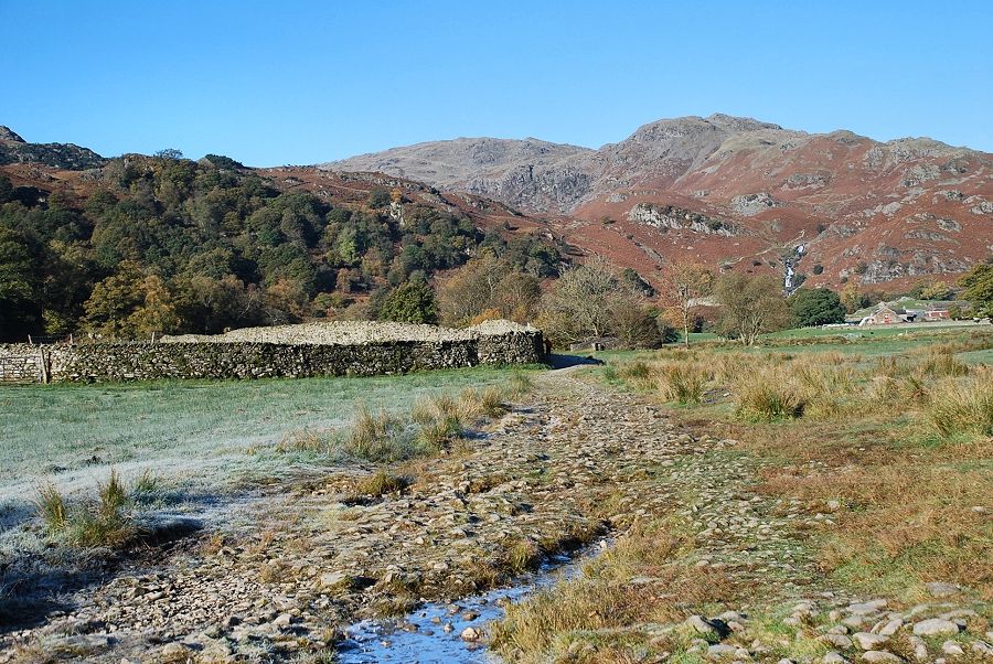 |
| The path traverses gated meadows giving open views towards Tarn Crag and the waterfalls of Sour Milk Gill |
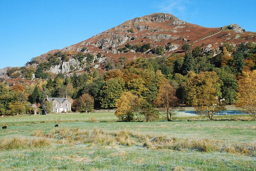 |
| Looking across the meadow to Helm Crag |
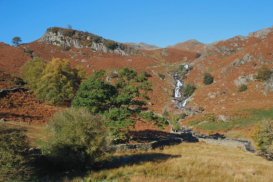 |
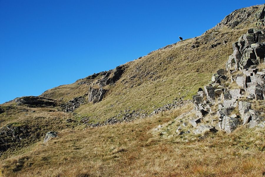
| Approaching Sour Milk Gill the path turns left and climbs beneath Brinhowe Crag to the top of the waterfalls |
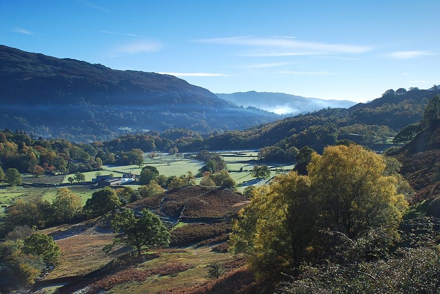 |
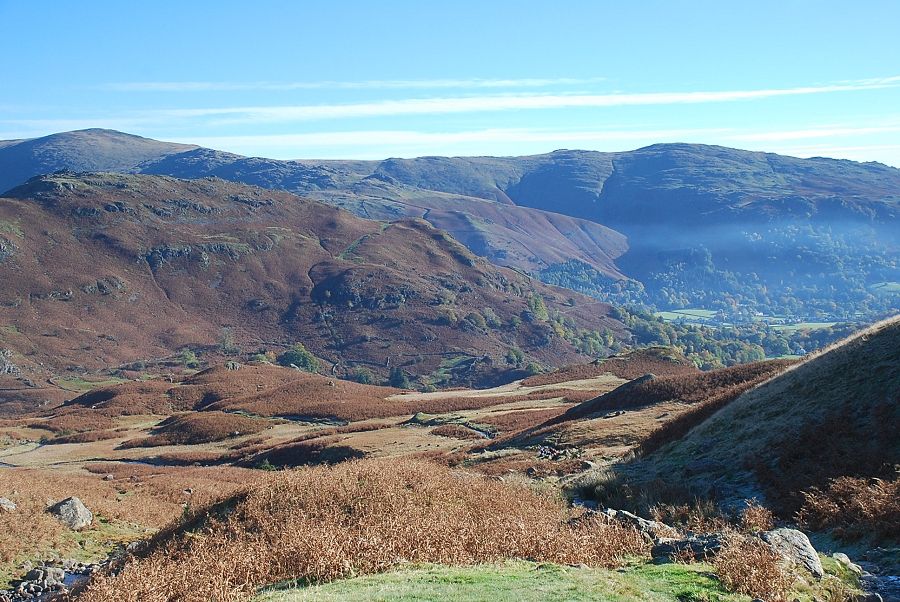
| Looking back to Lower Easedale from the path below Brinhowe Crag |
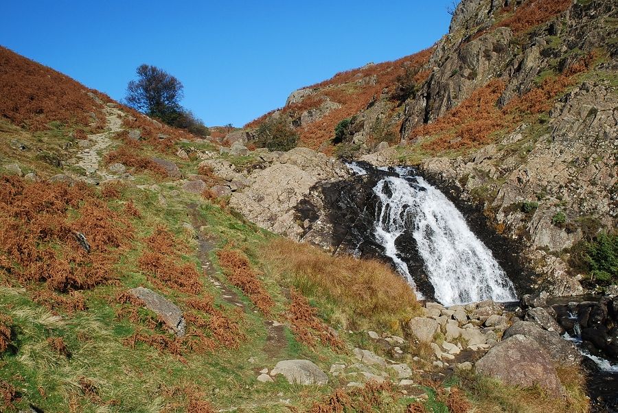 |
| Passing the upper waterfall of Sourmilk Gill |
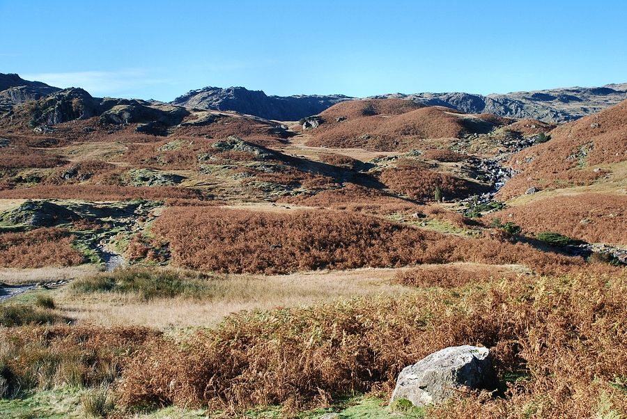 |
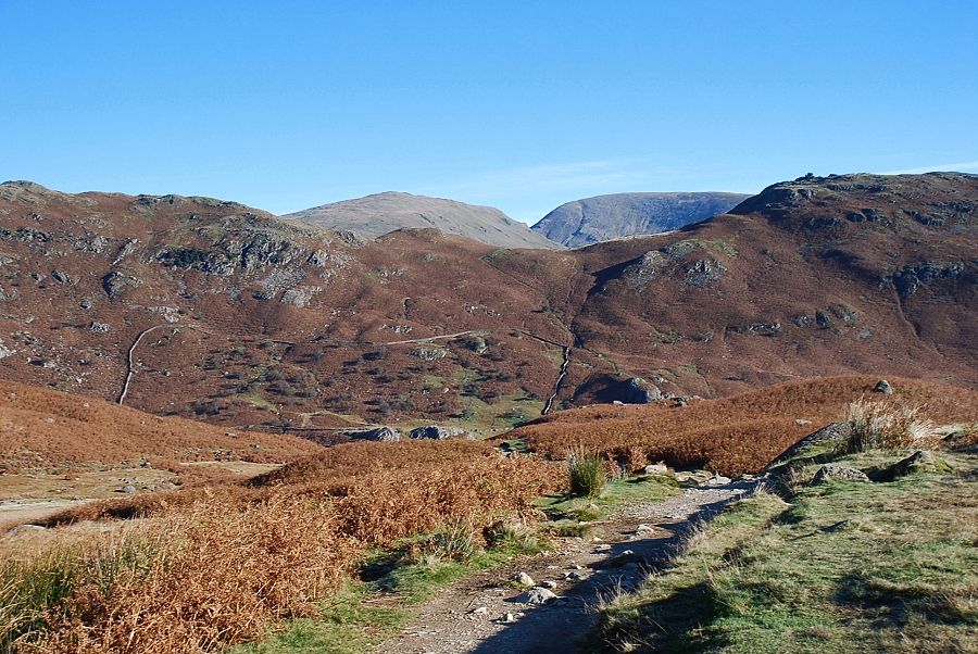
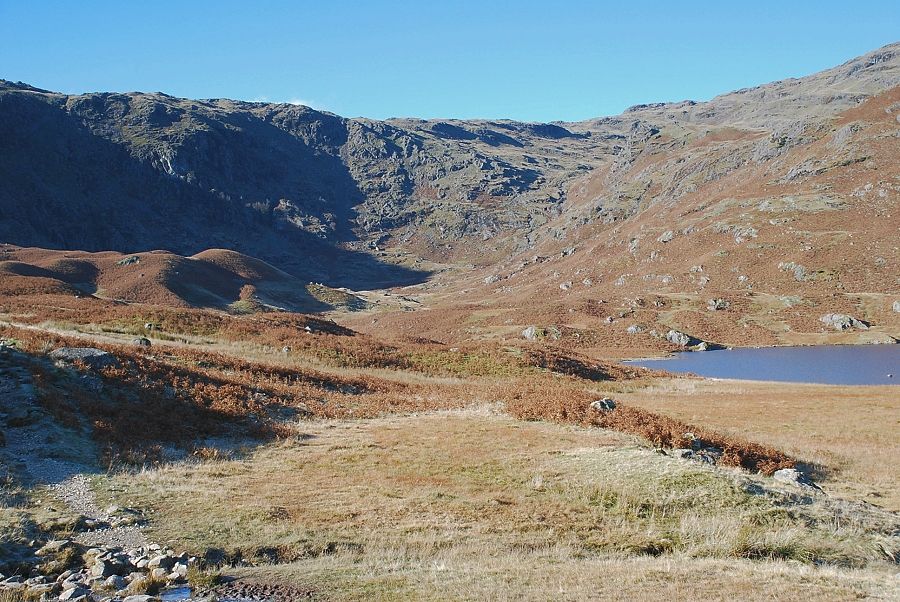
| The path crosses more open slopes on the approach to Easedale Tarn |
 |
| Looking across to Calf Crag and Gibson Knott |
 |
| Looking back, Seat Sandal and Fairfield appear over the col between Gibson Knott and Helm Crag |
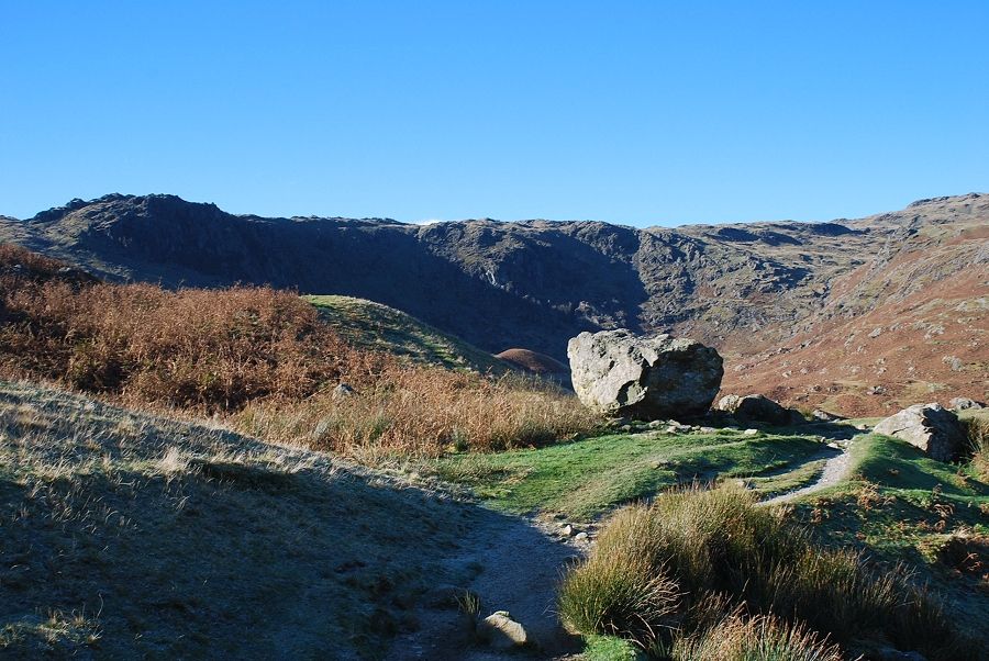 |
| Almost at the tarn now. The large rock marks the site of the old refreshment hut |
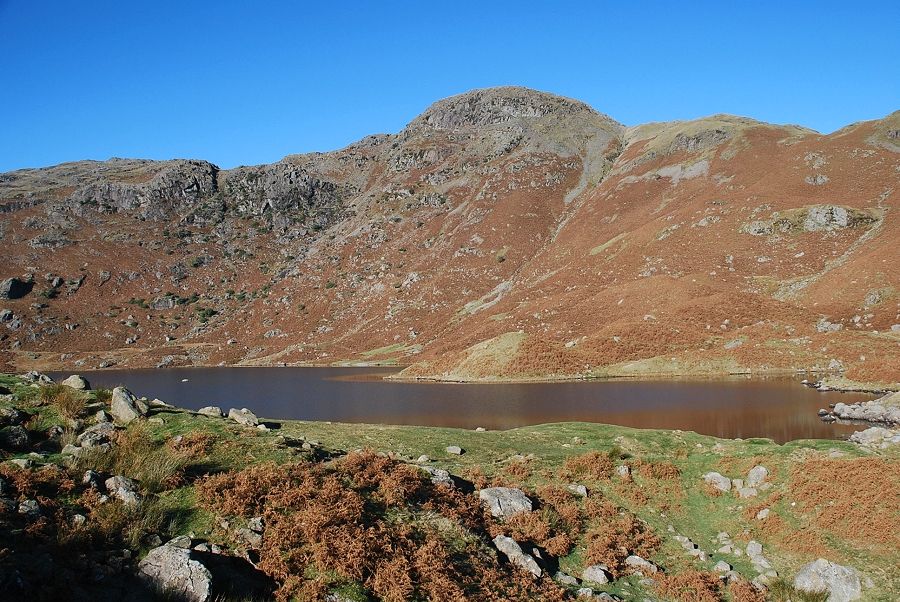 |
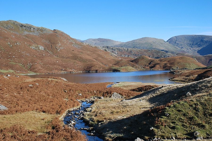
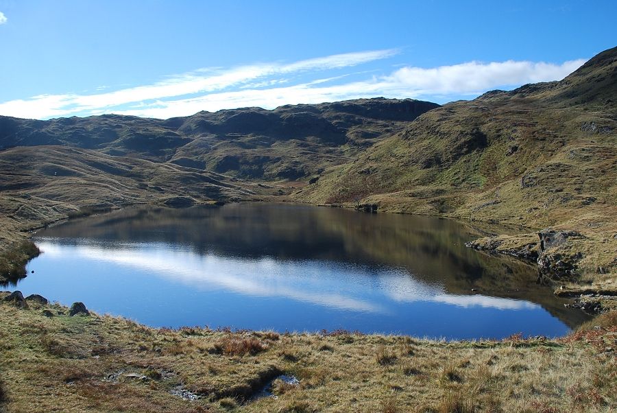
| Easedale Tarn and Tarn Crag from the site of the old refreshment hut |
 |
| Looking back from the site of the old refreshment hut. Great Rigg on the left above Helm Crag, Heron Pike on the right above the vale of Grasmere |
 |
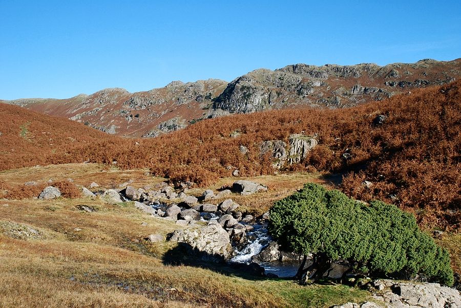
| The path continues along the southern side of the tarn to cross its main feeder gill which it then follows to the head of the valley |
 |
| Looking back to Easedale Tarn from the path along its feeder gill |
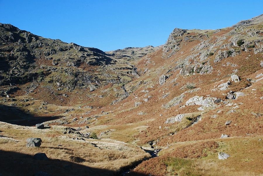 |
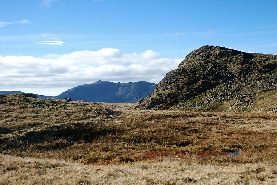
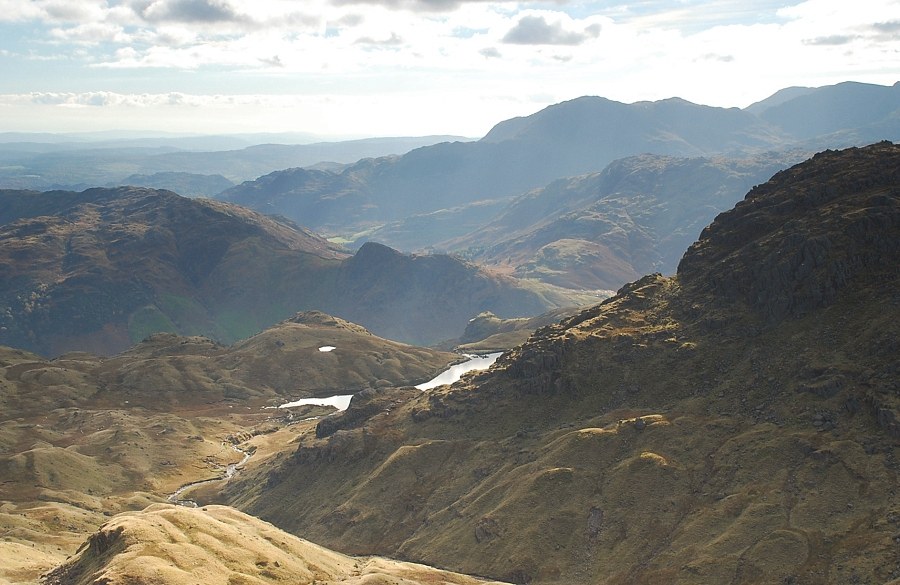
| Approaching the head of the valley, flanked by Eagle Crag on the left and Belles Knott on the right |
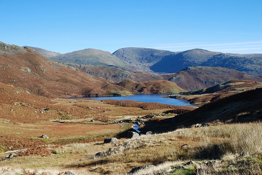 |
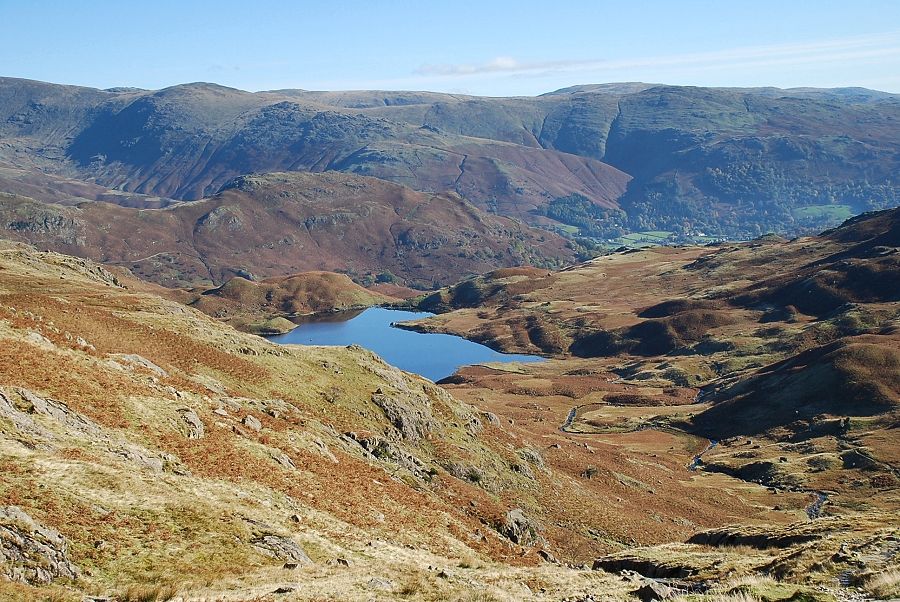
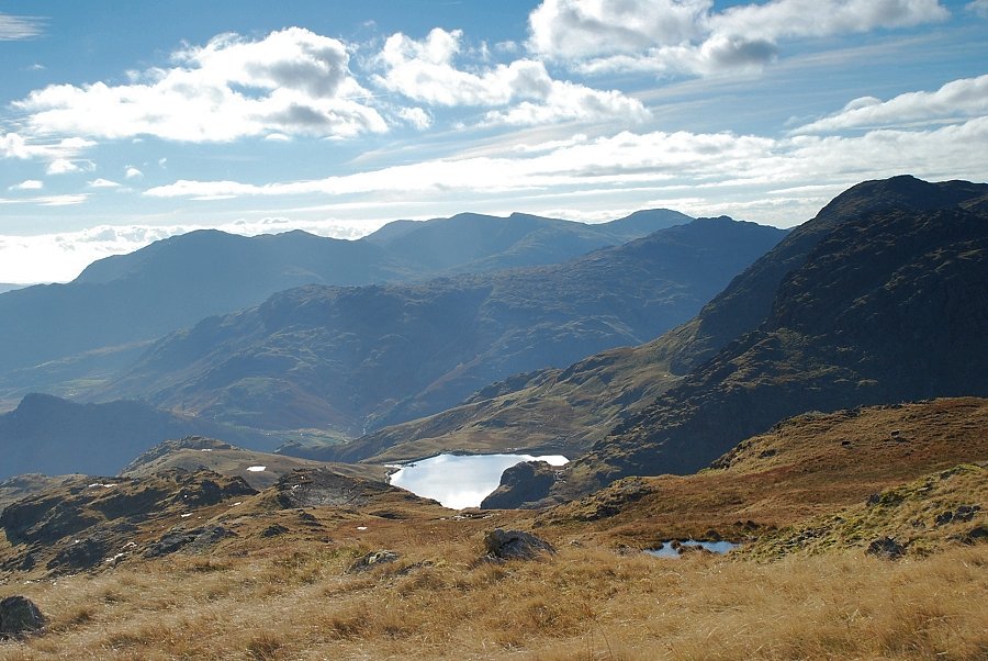
| Looking back to Easedale Tarn with Dollywaggon Pike, Seat Sandal, Fairfield and Great Rigg forming the skyline |
 |
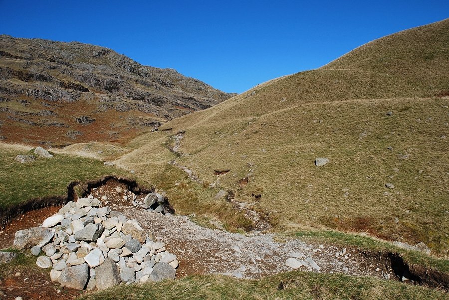
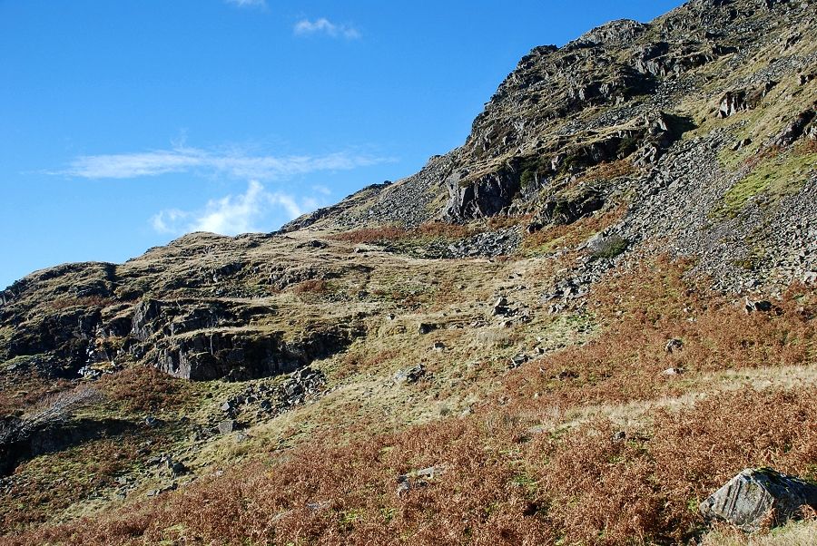
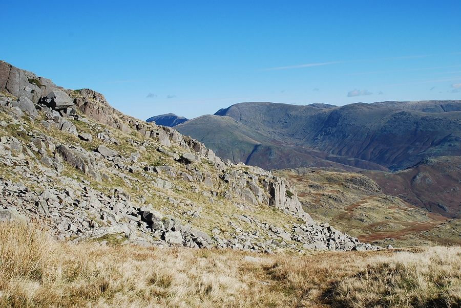
| The start of the climb out of the valley. This is the steepest part of this walk as the path winds its way around and over a series of slabby outcrops |
 |
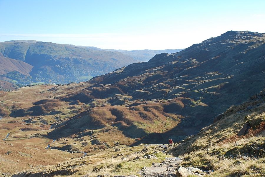
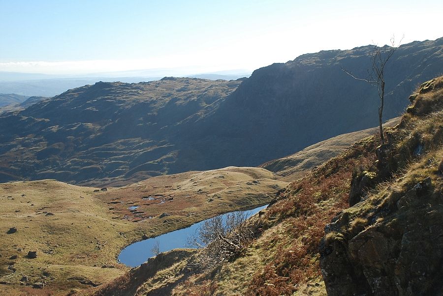
| The view back to Easedale Tarn provides plenty of excuses for taking a rest on this 500ft climb out of the valley! |
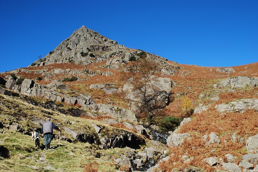 |
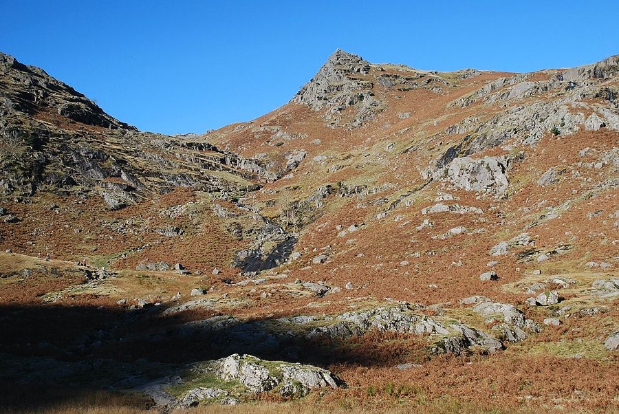
| Climbing below the imposing rock cone of Belles Knott |
 |
| Looking back from near the top of the climb out of the valley |
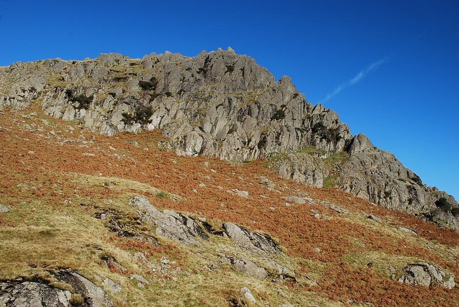 |
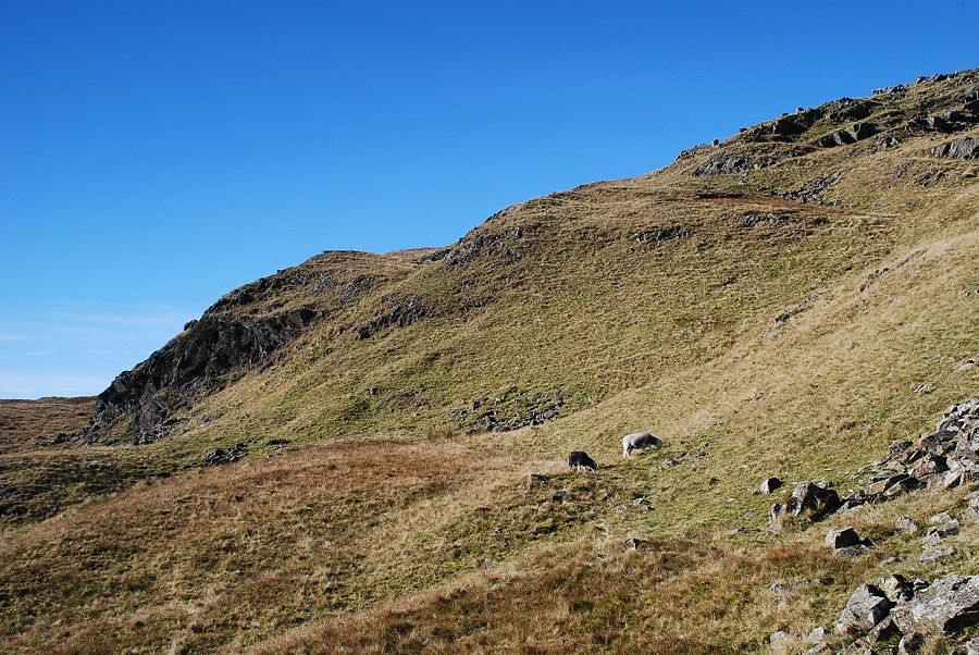
| The slope eases as the crags of Belles Knott are passed on the right |
 |
| The main path continues on over the Blea Rigg ridge. A large marker cairn indicates the start of a side path which crosses the gill and winds its way around the back of Belles Knott towards Codale Tarn |
 |
| A last look back to Easedale Tarn from the marker cairn |
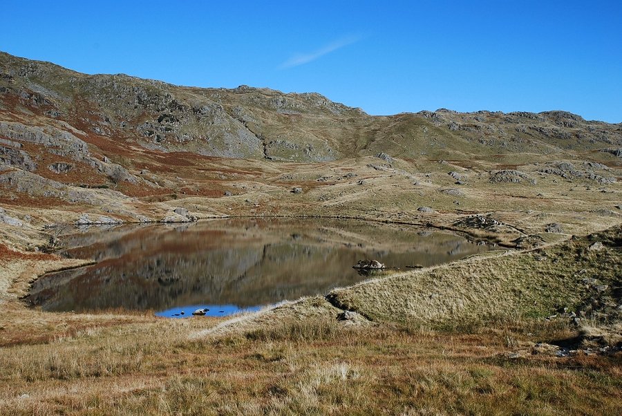 |
| Codale Tarn |
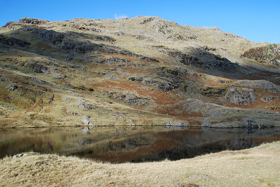 |
| Codale Tarn backed by the tiered crags of Codale Head. a series of grass shelves rise from right to left. The route ahead climbs the highest shelf which starts at the foot of Lang Crag which is the dark vegetated crag centre right |
 |
| Codale Tarn from the north |
 |
| The start of the grass shelf below Lang Crag. AW described it "as wide as an arterial road" though there is only the faintest of paths along its length |
 |
| Looking south east from the shelf towards Wansfell Pike |
 |
| Looking down to Codale Tarn from the shelf |
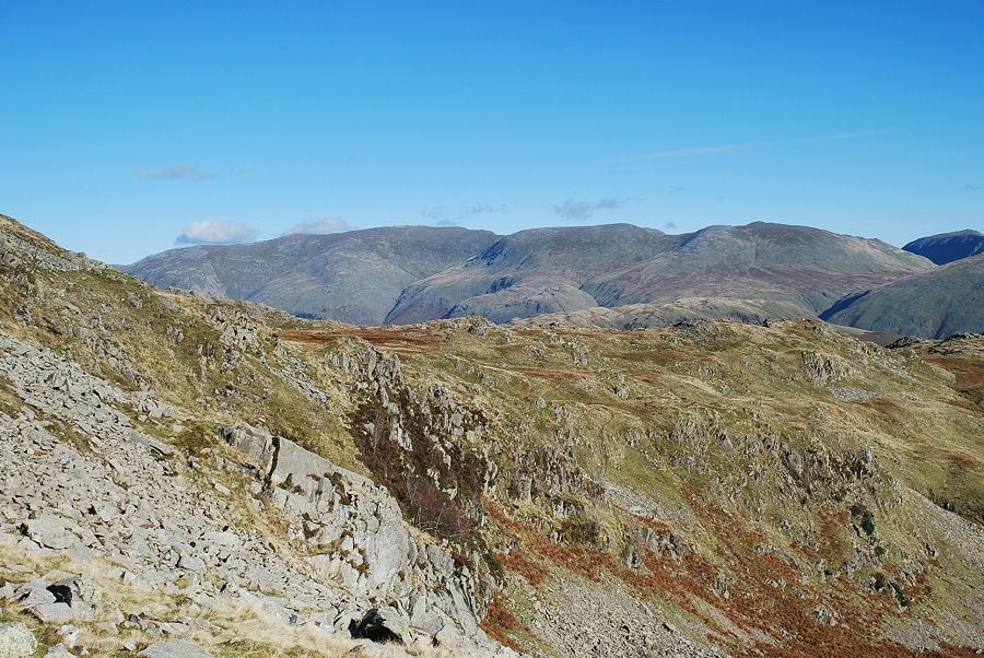 |
| The Helvellyn range appears over the ridge between Ferngill Crag and Tarn Crag |
 |
| The upper part of the grass shelf |
 |
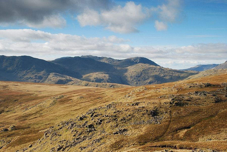
| Looking south west to Harrison Stickle and Pavey Ark. Grey Friar, Pike o' Blisco and Cold Pike are the fells on the left skyline |
 |
| Looking back from near the top of the shelf |
 |
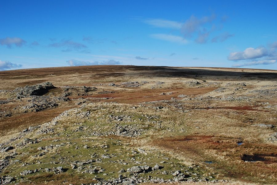
| From the top of the shelf easier slopes lead up to the broad ridge of Codale Head |
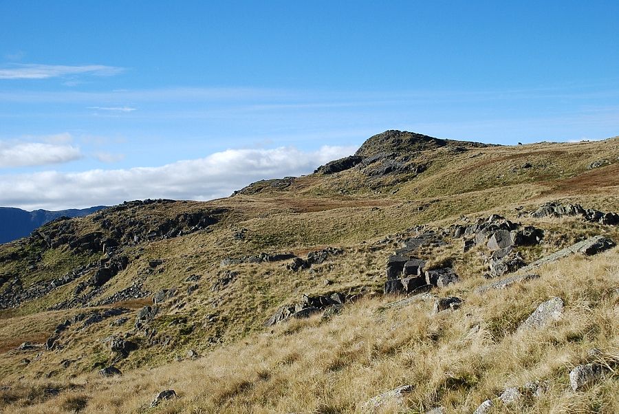 |
| The summit of Sergeant Man comes into view |
 |
| Stickle Tarn and the Coniston fells |
 |
| Approaching the summit of Sergeant Man and about to join the main path coming up from Great Langdale |
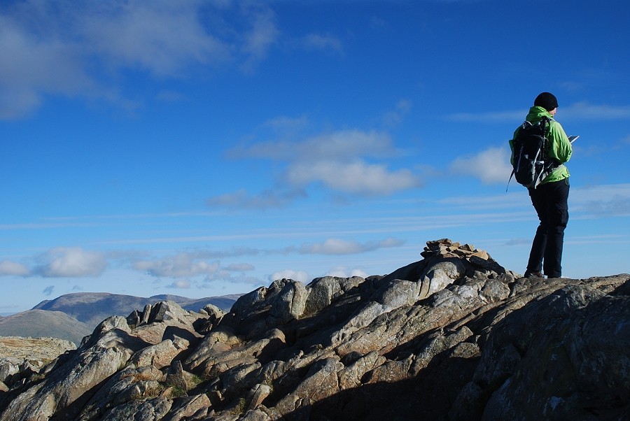 |
| The summit of Sergeant Man |
 |
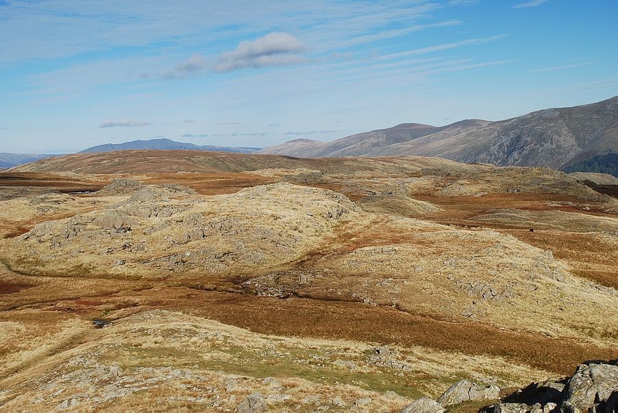
| Looking to High Raise, the highest of the Central Fells |
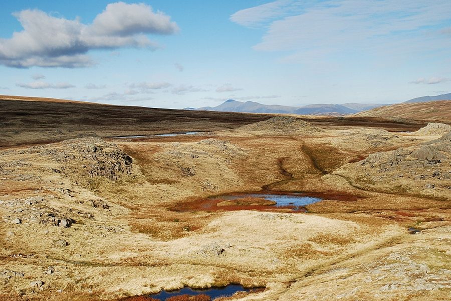 |
| A distant Skiddaw across the slopes of High Raise |
 |
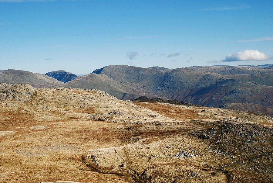
| Blencathra over Ullscarf with Clough Head, Great Dodd and Raise on the right |
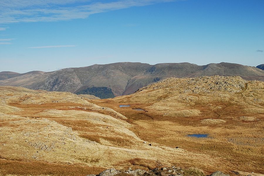 |
| The Helvellyn range over the tarns on Codale Head |
 |
| The Fairfield group to the east |
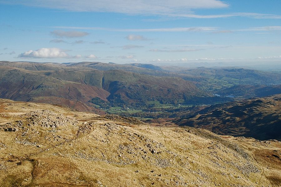 |
| The vale of Grasmere and Rydal Water |
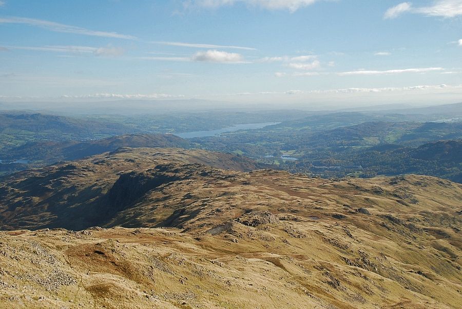 |
| Windermere and Elterwater with Esthwaite Water on the extreme right |
 |
| Part of Stickle Tarn just visible below the slopes of Pavey Ark |
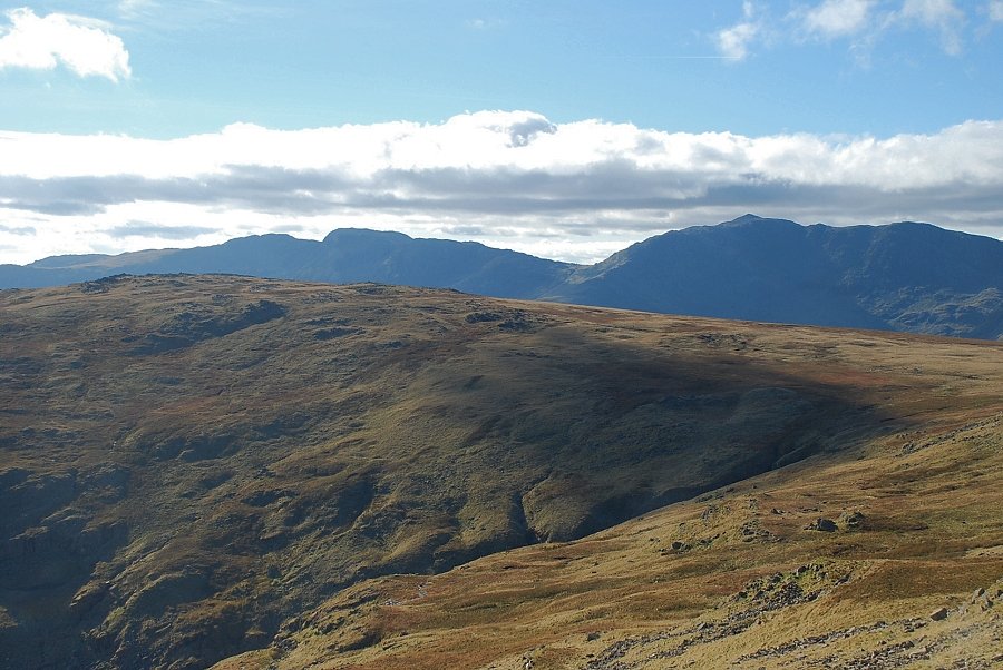 |
| Crinkle Crags over Thunacar Knott with Bowfell on the right |
 |
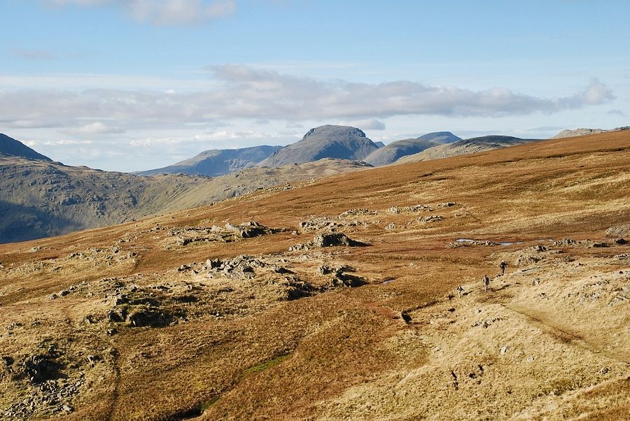
| Scafell Pike and Great End |
 |
| Great Gable |
