 |
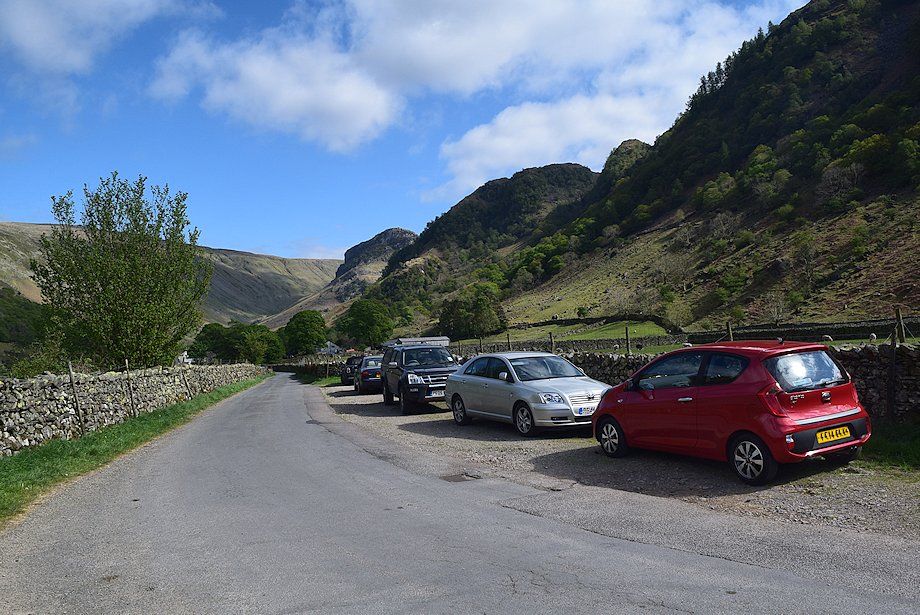
| There is roadside parking along the lane leading to Stonethwaite |
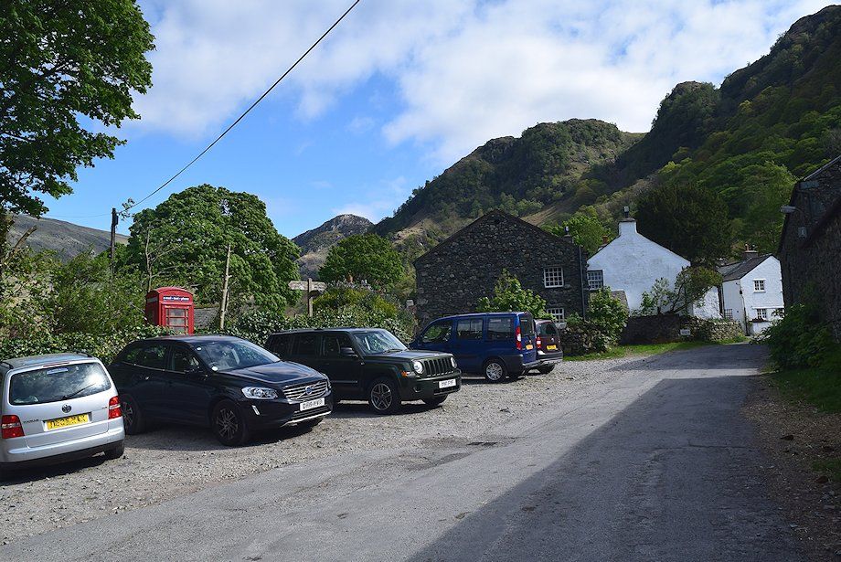 |
| Parking in the village is limited to half a dozen spaces beside the telephone box |
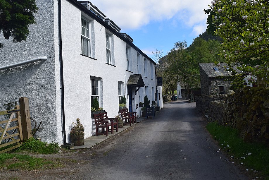 |
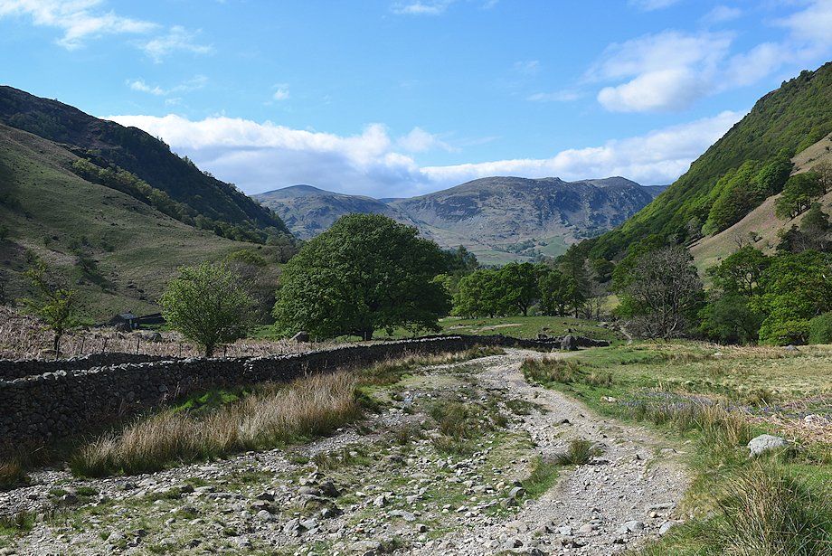
| Follow the lane past the Langstrath Country Inn |
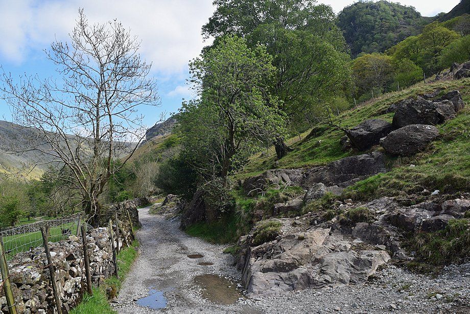 |
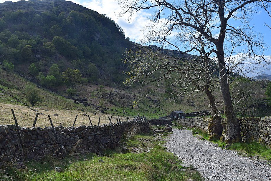
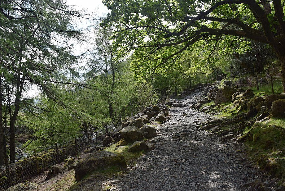
| Past the last house the lane continues as a rough track which leads to the Stonethwaite campsite |
 |
| Looking back to Stonethwaite |
 |
| Passing the campsite dominated by High Crag on Stonethwaite Fell |
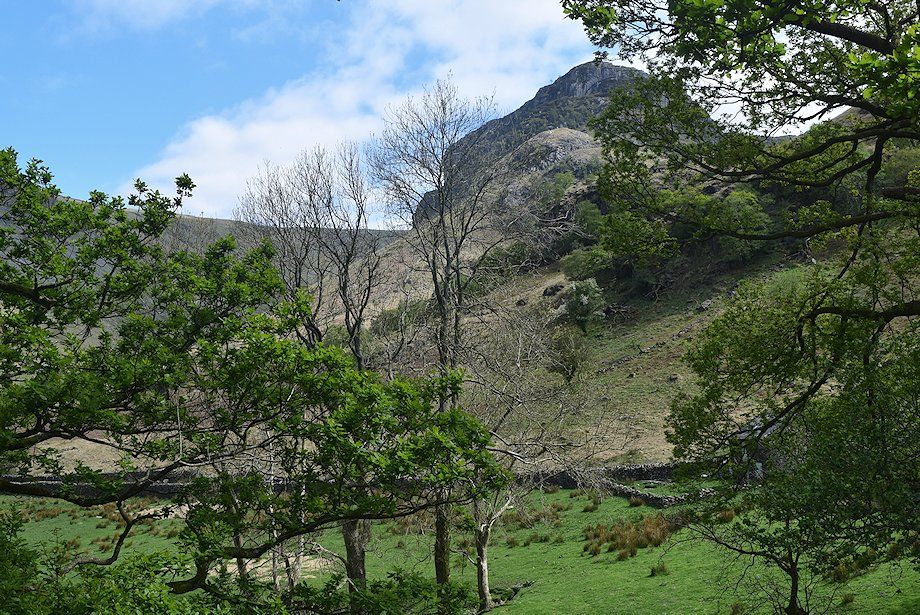 |
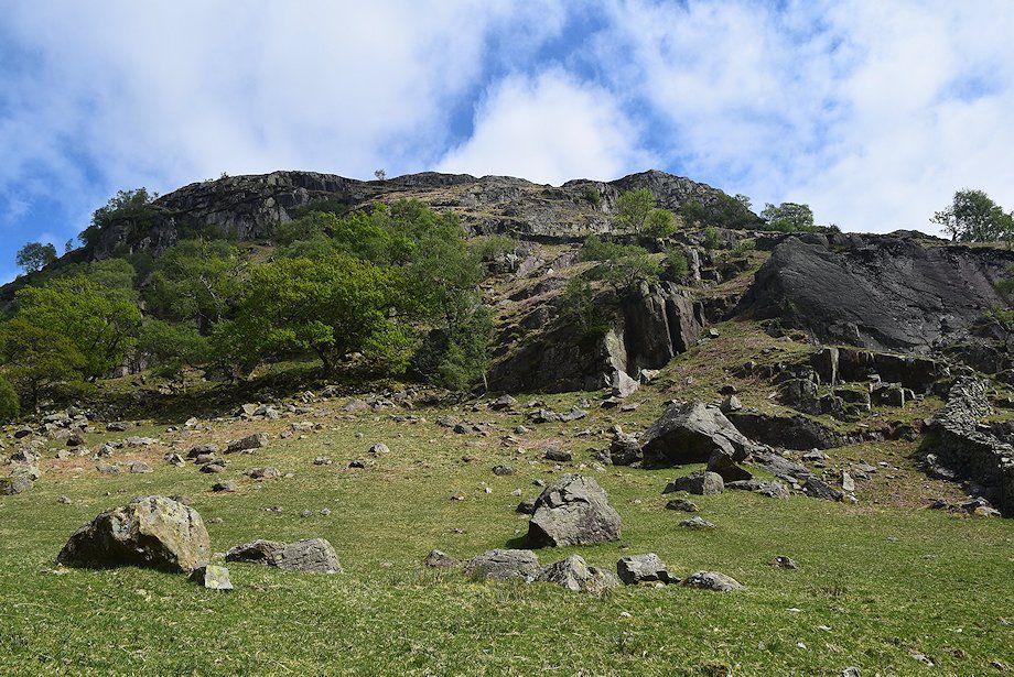
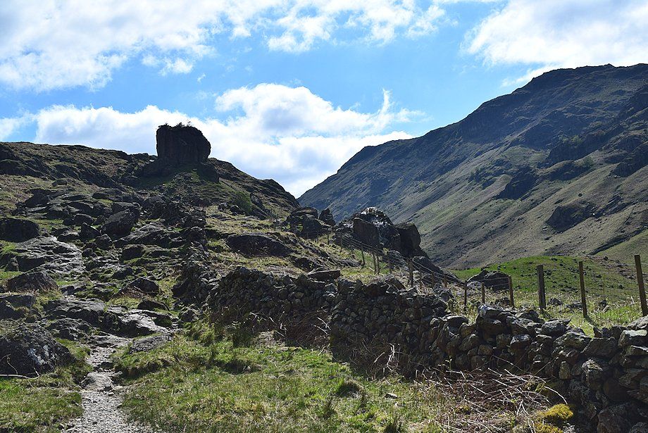
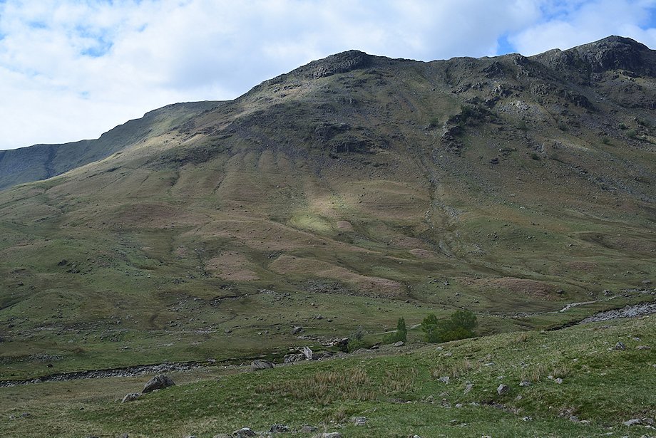
| Eagle Crag |
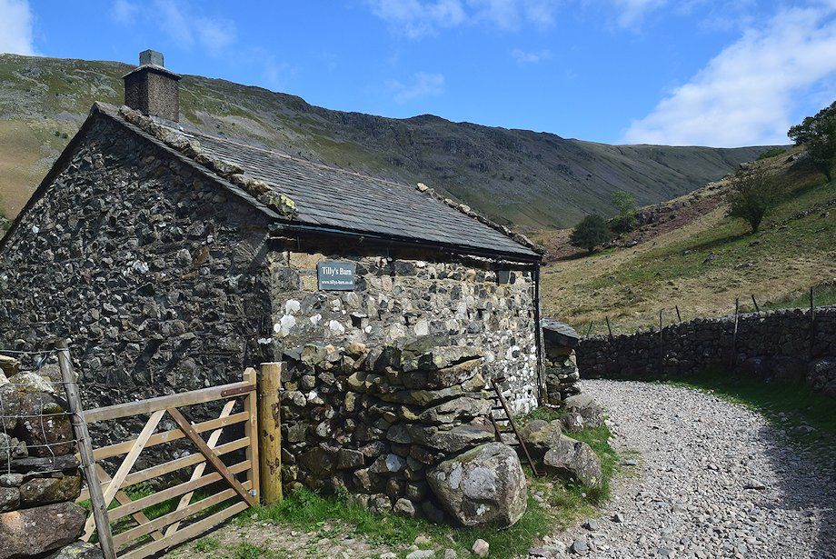 |
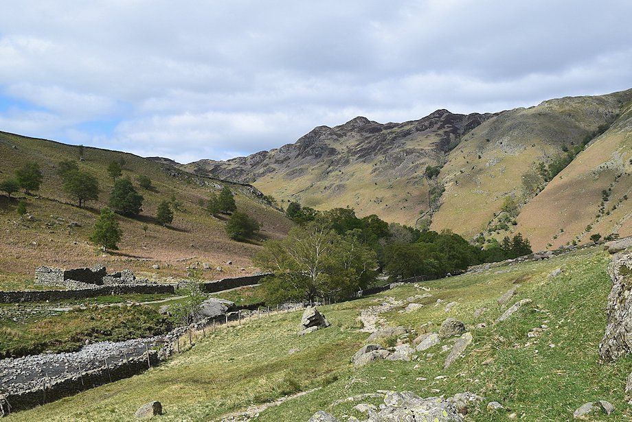
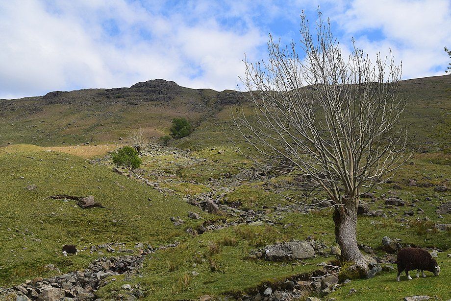
| Passing Alisongrass Hoghouse which has now been converted into holiday barn |
 |
| Looking back to Alisongrass Crag |
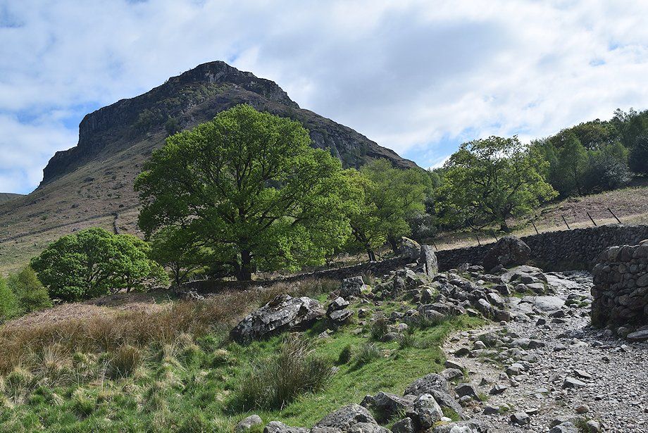 |
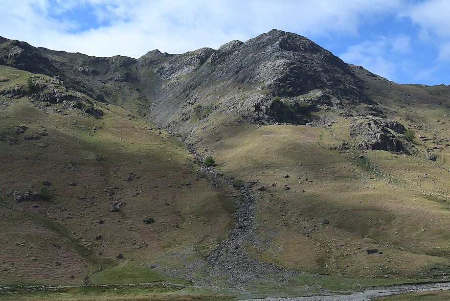
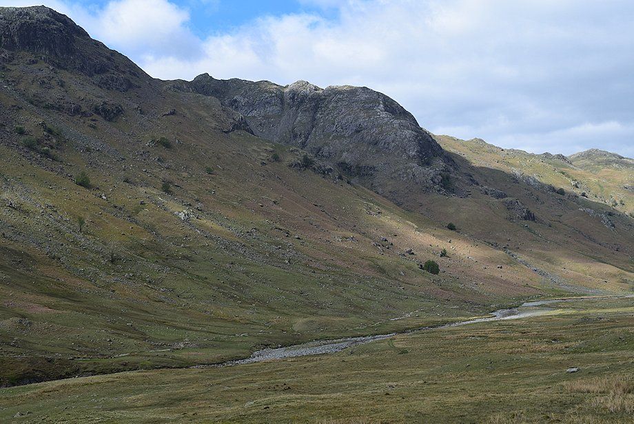
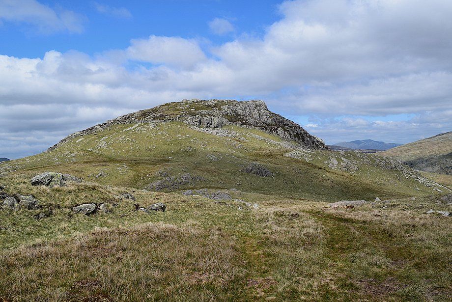
| Eagle Crag at the head of the valley |
 |
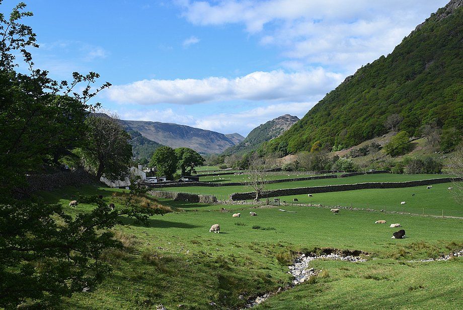
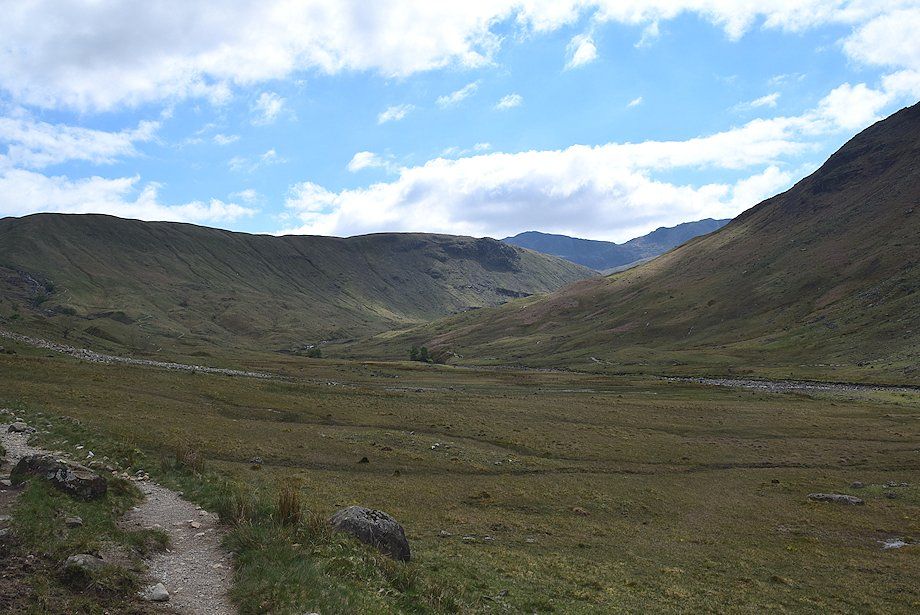
| Looking back along the Stonethwaite valley |
 |
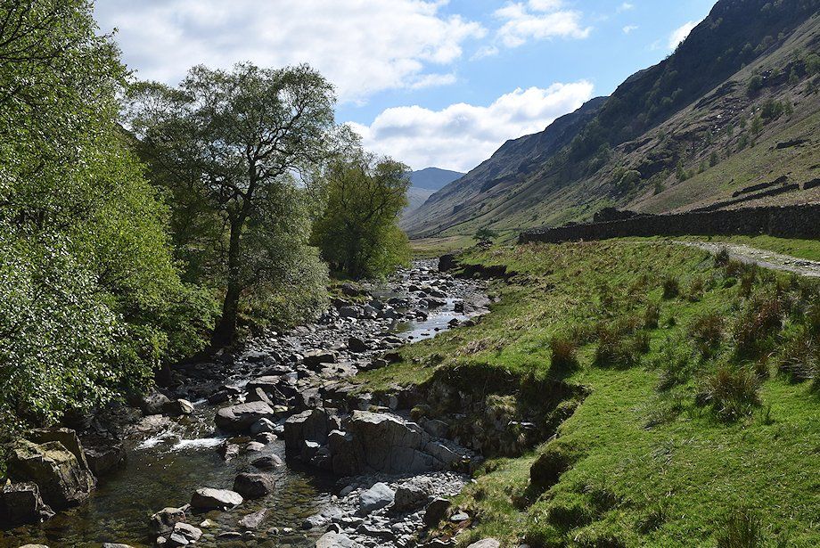
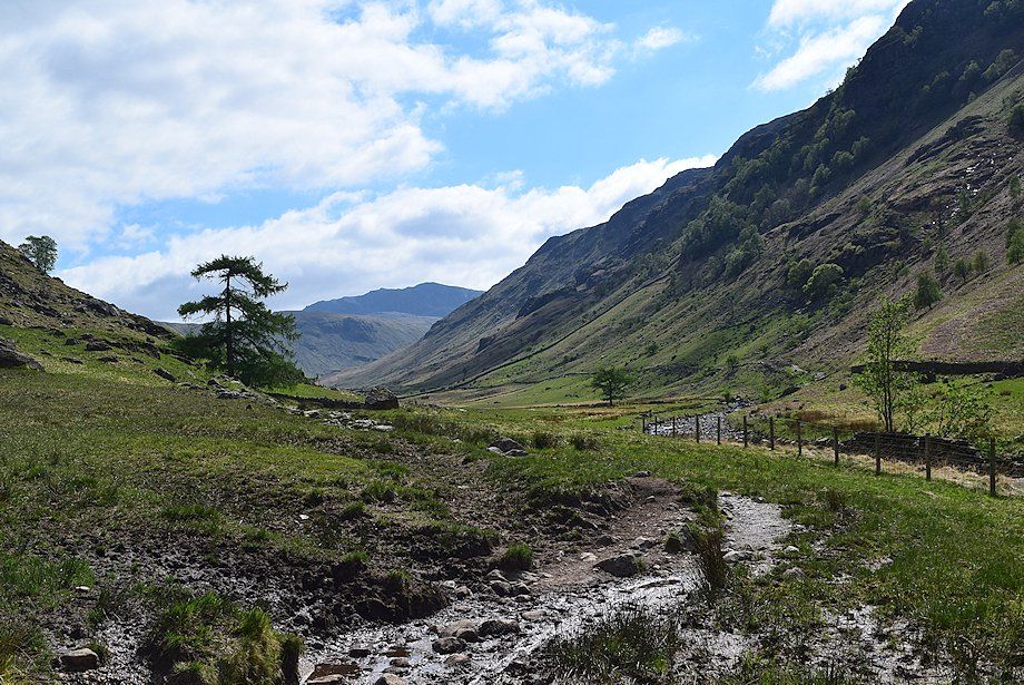
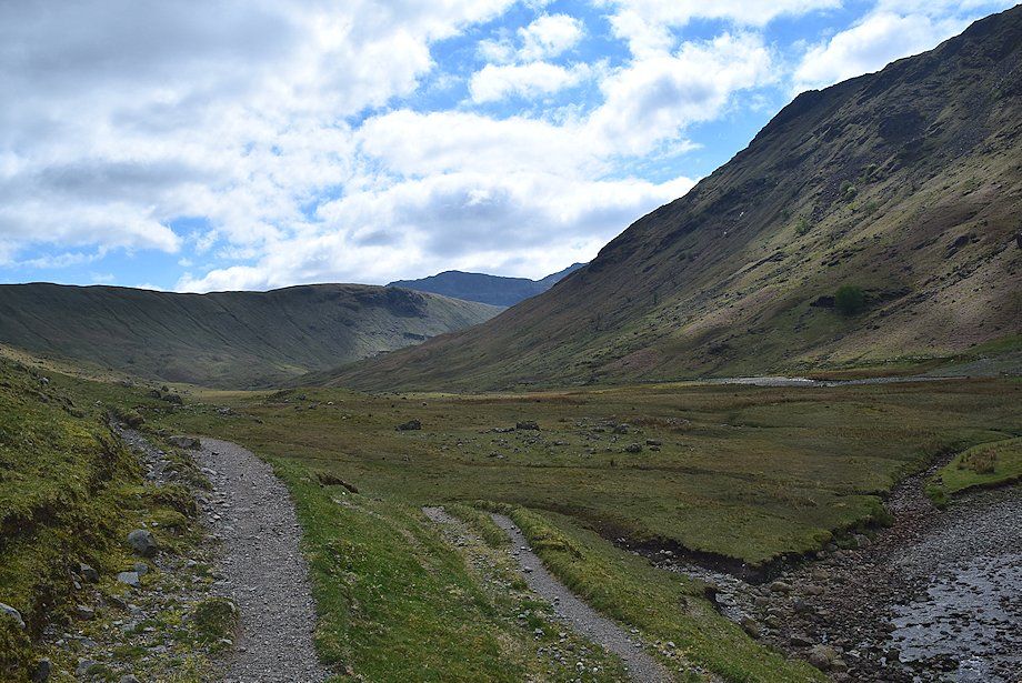
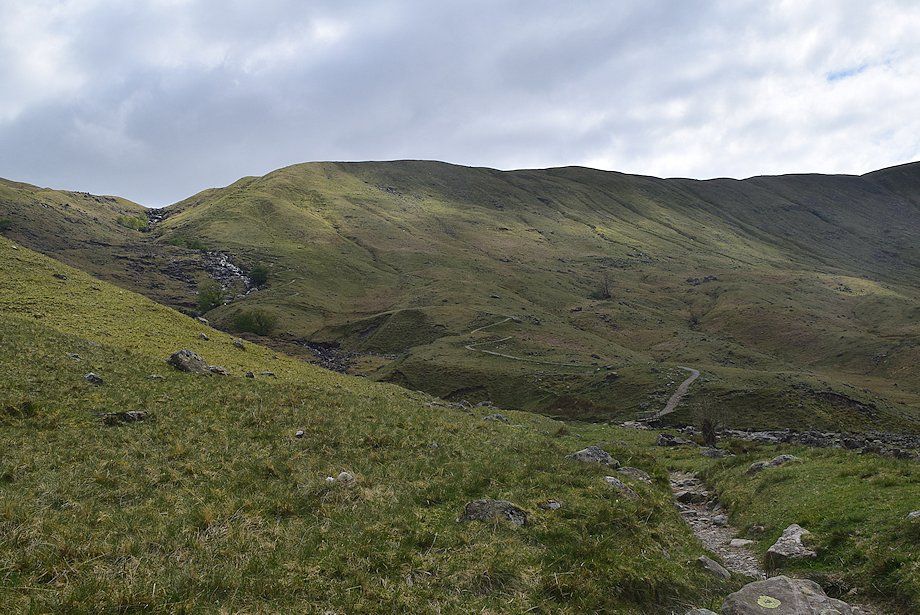
| The track rises alongside Langstrath Beck |
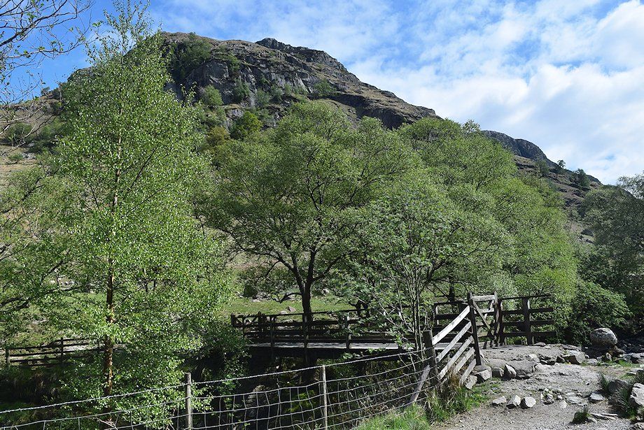 |
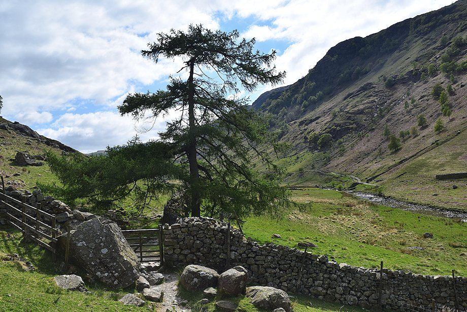
| Cross the footbridge to join the bridleway on the east side of Langstrath Beck which forms part of the Cumbria Way |
 |
| Langstrath Beck from the footbridge. The rough track on the west side of the beck advances on as far as Blackmoss Pot, a footpath from there continues on towards Stake Pass passing Swan Dub and Tray Dub where there is another footbridge |
 |
| Bowfell at the head of the valley from the Cumbria Way bridleway |
 |
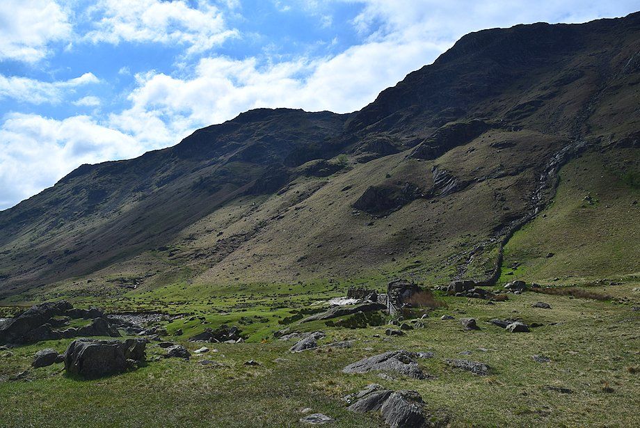
| Looking back towards High Crag on Stonethwaite Fell. The ruined building on the other side of the beck is Johnny House |
 |
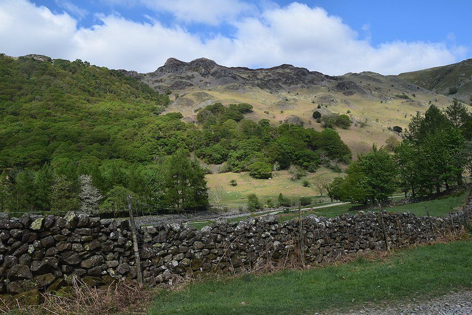
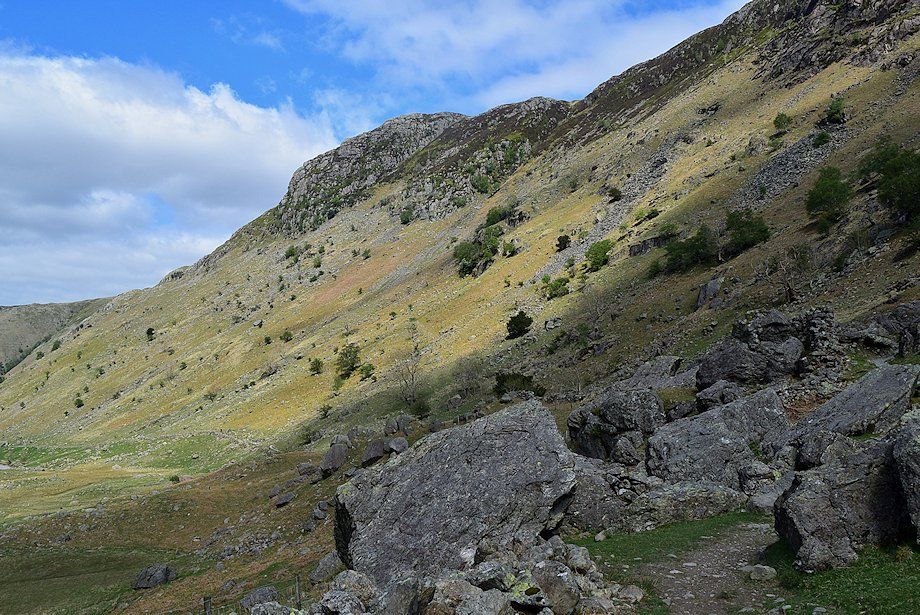
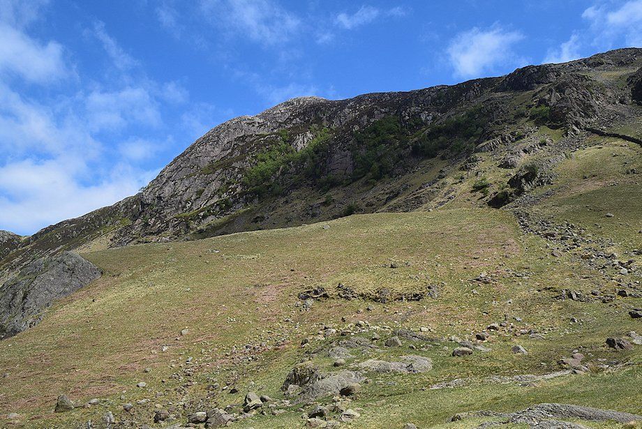
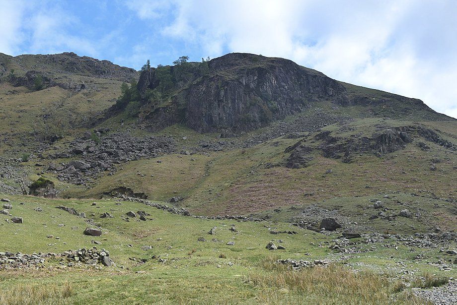
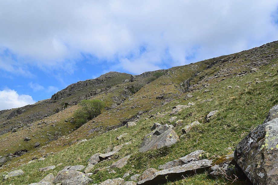
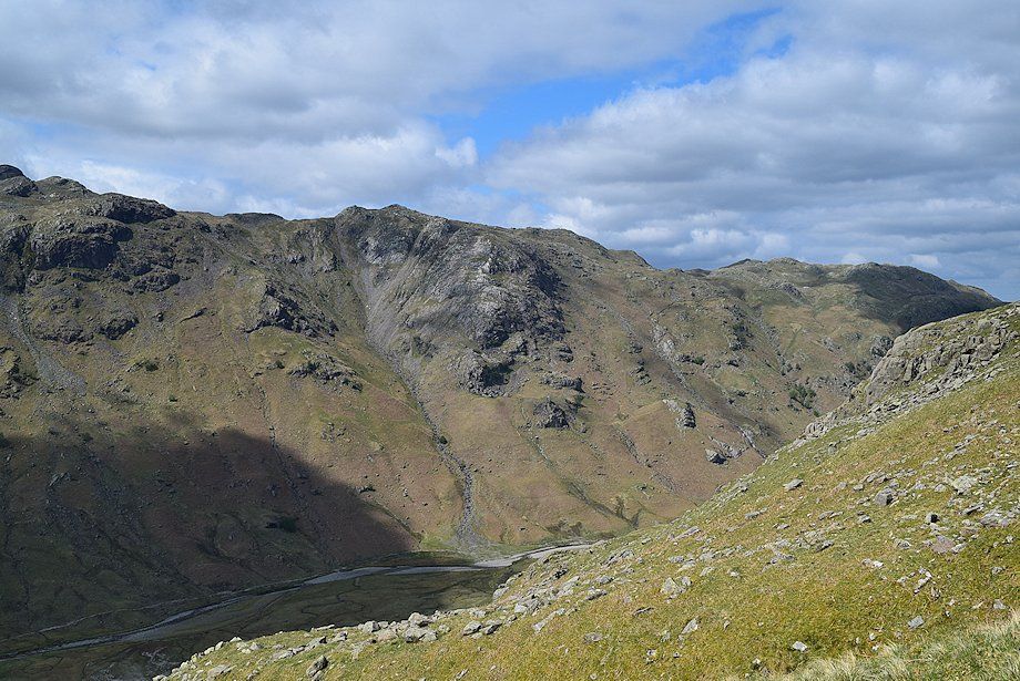
| The western flank of Eagle Crag from the bridleway |
 |
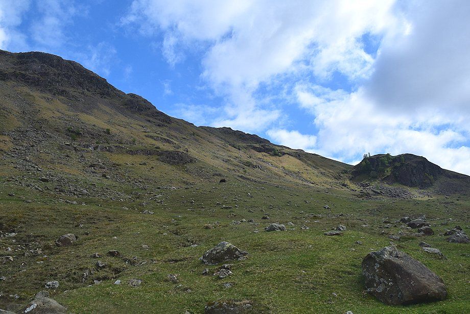
| Sergeant's Crag comes into view shortly after passing through this handgate |
 |
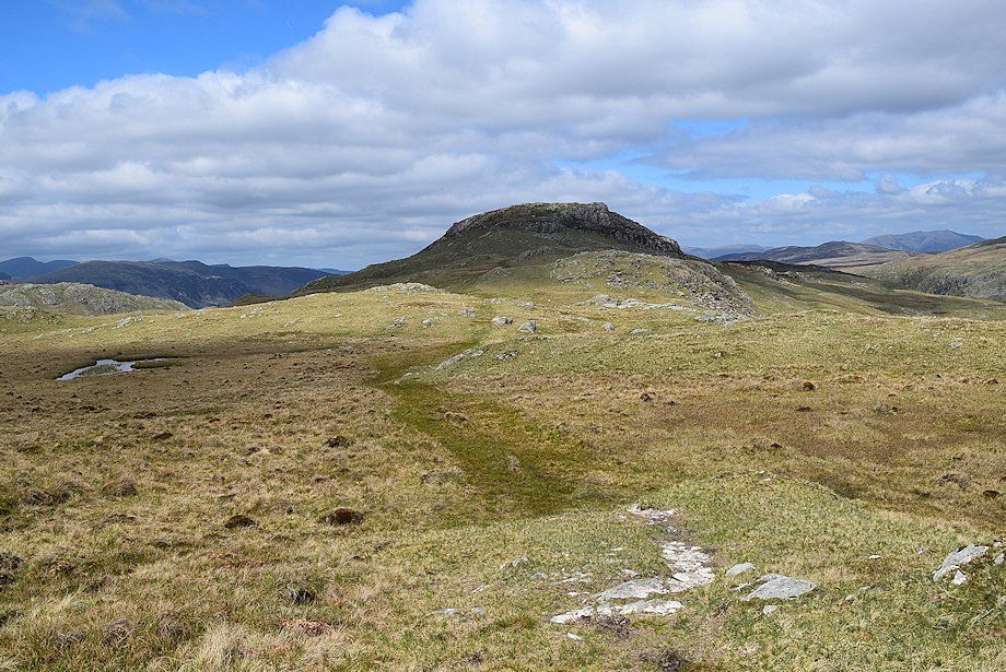
| Sergeant's Crag |
 |
| Blea Rock comes into view, centre left of the photo |
 |
| Sergeant's Crag slabs from the path below Blea Rock |
 |
| Approaching Blea Rock |
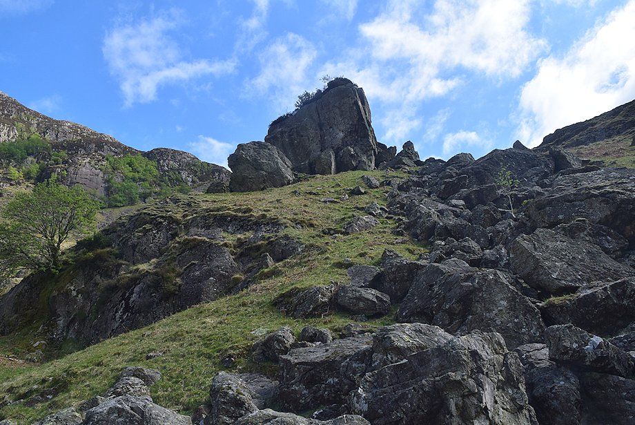 |
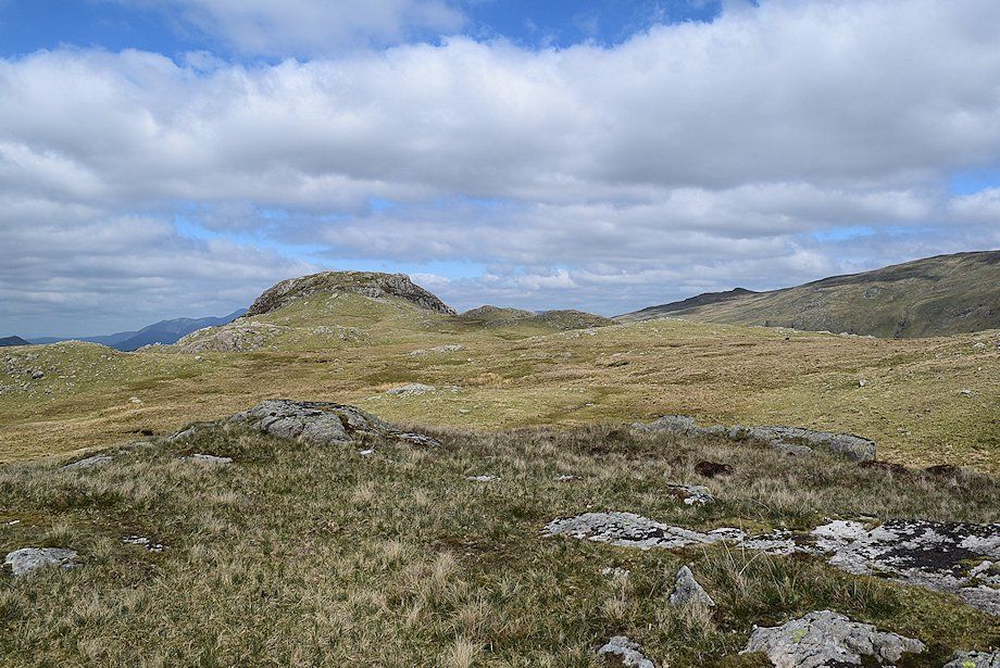
| Blea Rock also known as Gash Rock |
 |
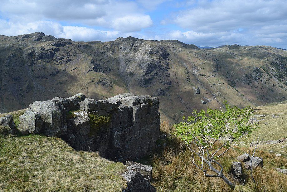
| Looking back towards Eagle Crag from Blea Rock |
 |
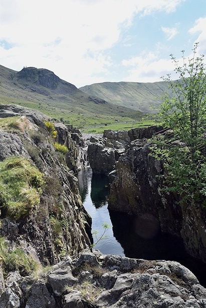
| The path passes Blackmoss Pot where the beck flows through a narrow rock channel |
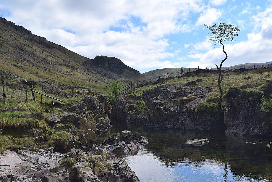 |
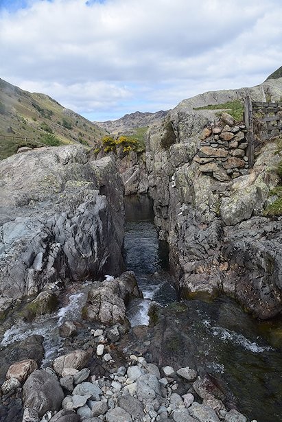
| Blackmoss Pot |
| Blackmoss Pot looking south |
Blackmoss Pot looking north |
 |
| Sergeant's Crag from Blackmoss Pot |
 |
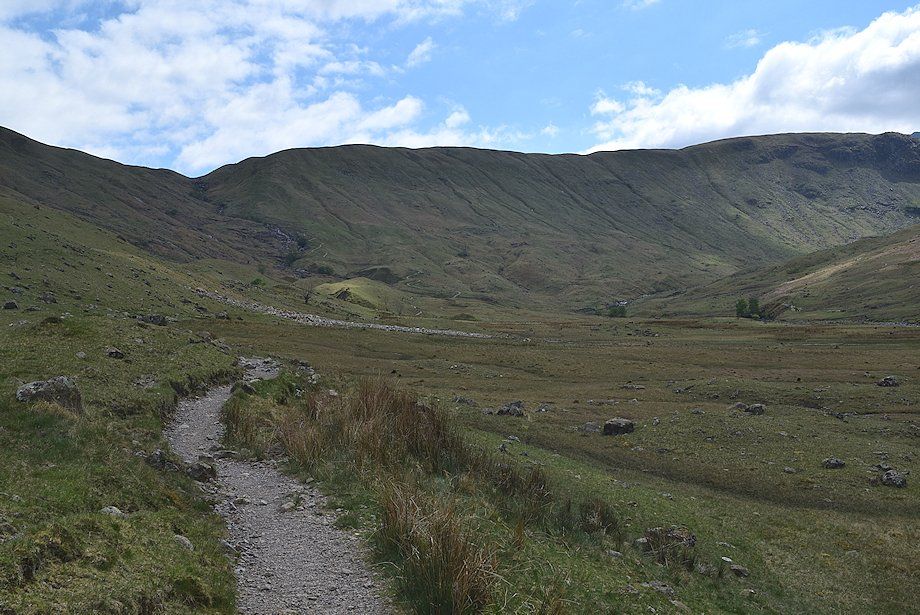
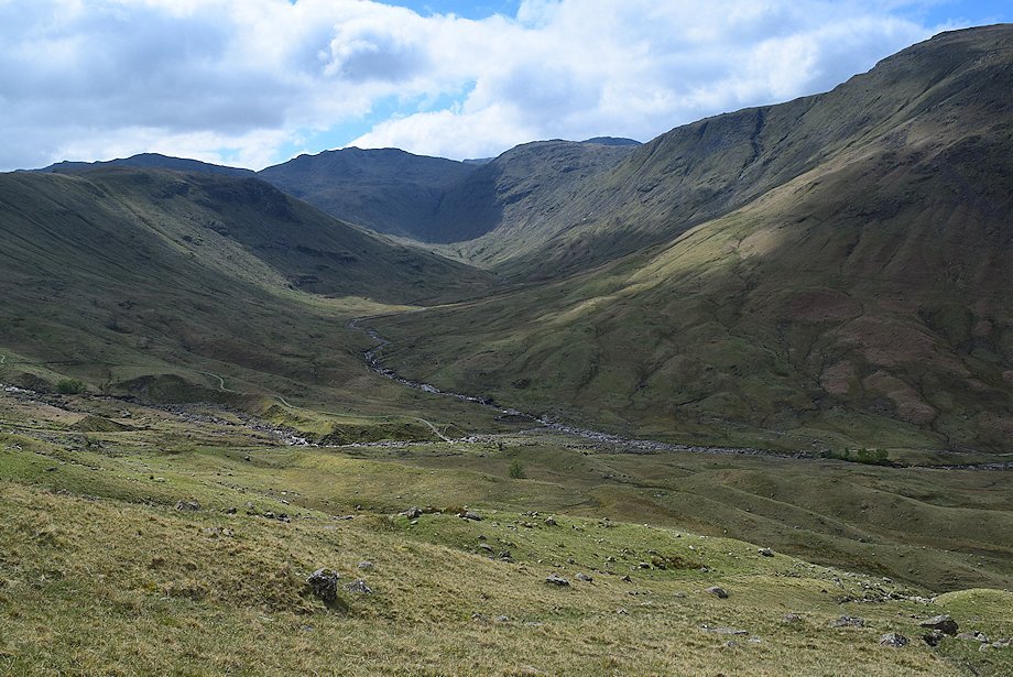
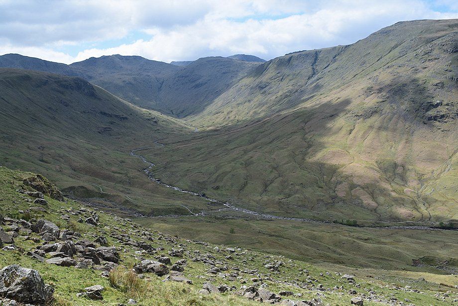
| Beyond Blackmoss Pot the beck takes a wide meandering course along the broad valley floor as the bridleway path climbs gently towards Stake Pass |
 |
| Looking up to Bull Crag with Blea Crag on the right |
 |
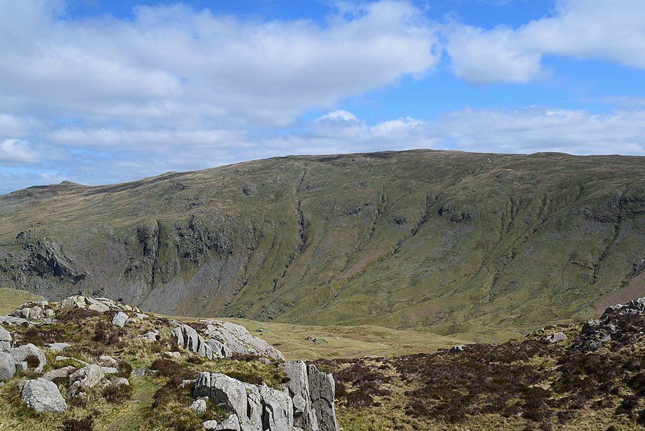
| Looking across to Woof Gill and Cam Crag ridge on the other side of the valley |
 |
| Passing below Blea Crag |
 |
| The deep pools and waterfalls of Swan Dub and Tray Dub are located in the trees in the centre of the photo |
 |
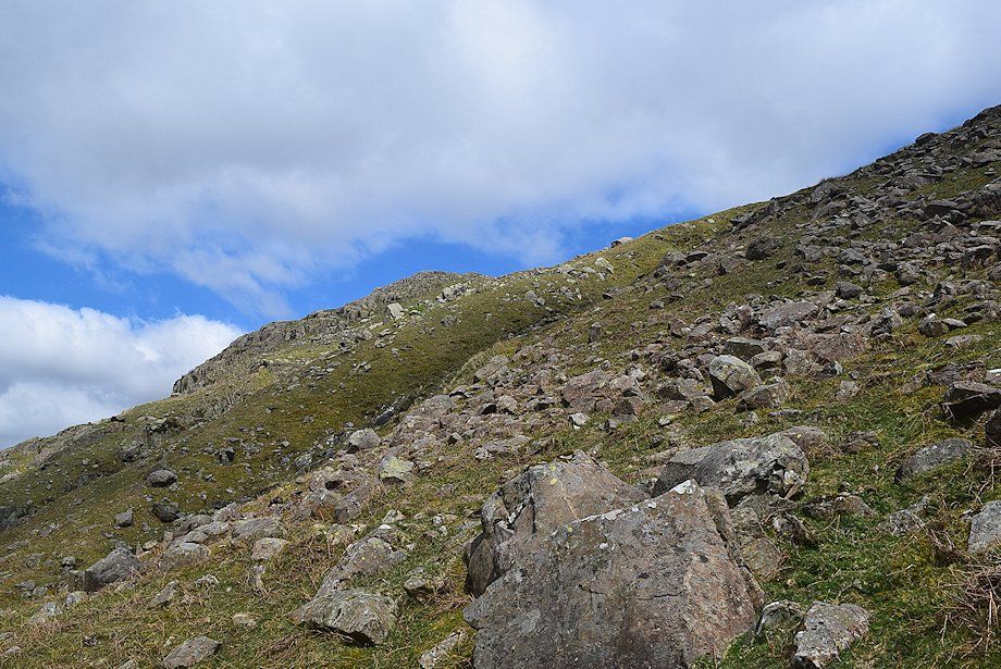
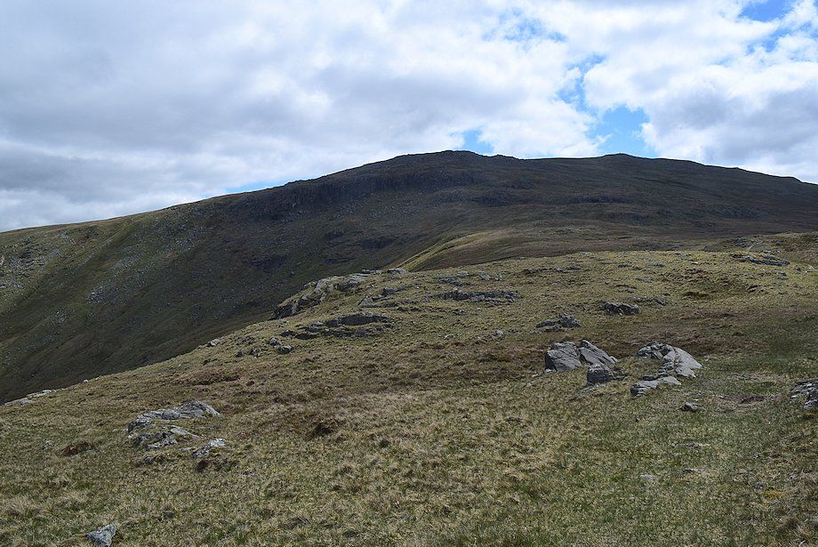
| Looking up to Brown Crag |
 |
| Stake Pass comes into view |
 |
| Passing below Brown Crag which is the key to this ascent |
 |
| When the footbridge over Stake Beck comes into view it's time to start the climb to Brown Crag |
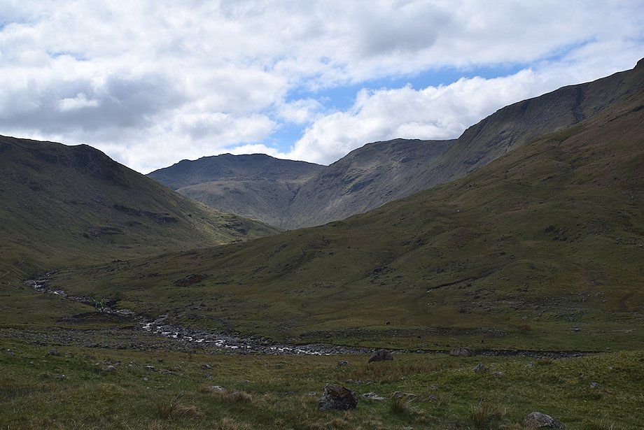 |
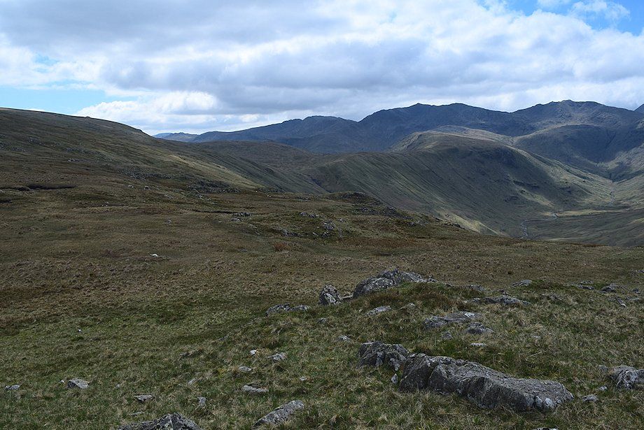
| Rossett Pike, Esk Pike and Allan Crags close in the head of the valley |
 |
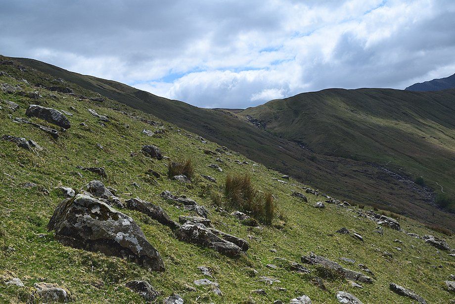
| The route threads around some moraines before making a rising traverse of the fellside towards Brown Crag. There is no path |
 |
| Looking across the valley to Cam Crag which provides a very fine grade 2 scrambling route to the Glaramara ridge |
 |
| Looking down to the footbridge over Langstrath Beck which is sited just above Tray Dub |
 |
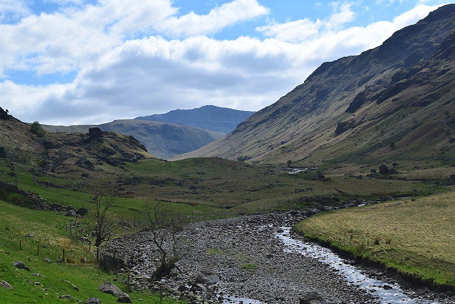
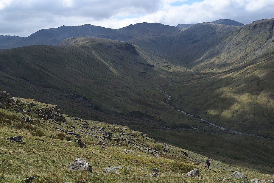
| The head of Langstrath from the lower part of the climb to Brown Crag |
 |
| Brown Crag from the halfway point on the rising traverse |
 |
| Looking across to Stake Pass |
 |
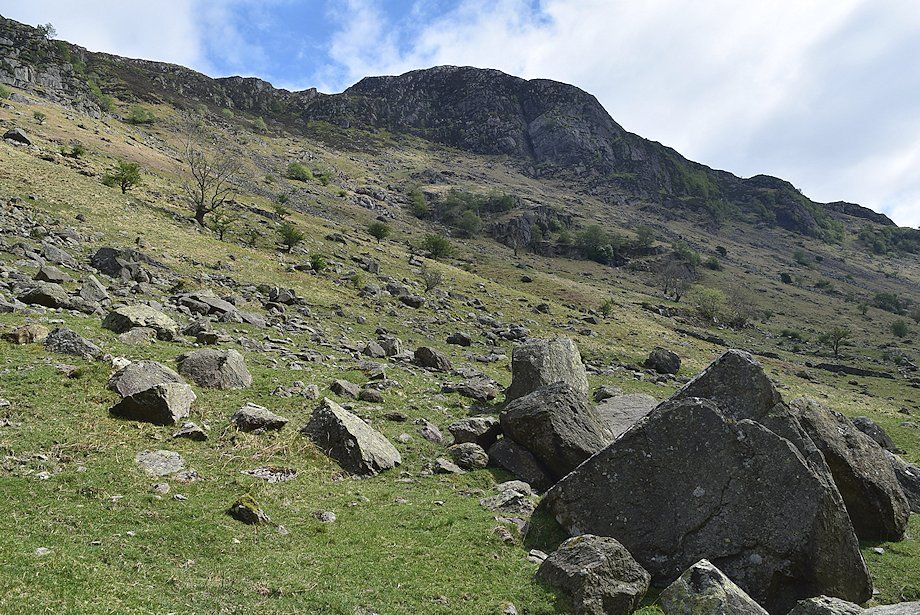
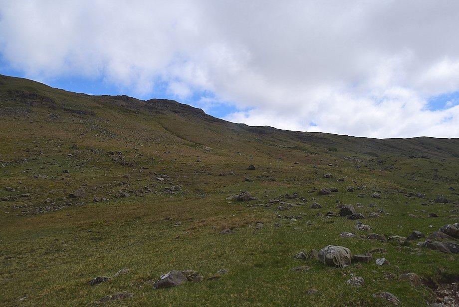
| The slope becomes increasingly stonier on the approach to a series of gills which cut through the upper slope below Brown Crag |
 |
| The head of Langstrath from below the gills |
 |
| Brown Crag from the gills. Their sides are steep so it's easier to climb the grassy riggs between them to find suitable crossing points |
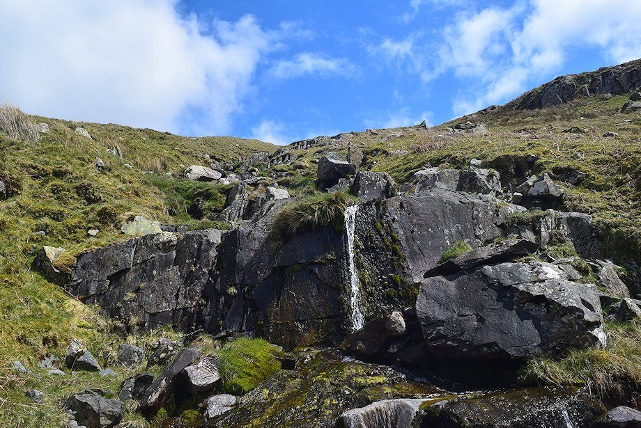 |
| Small waterfall in one of the gills |
 |
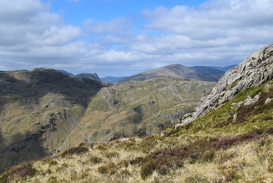
| Looking over to Cam Crag |
 |
| A walker descending one of the gill riggs. This route provides an easy and safe descent into Langstrath from the Eagle Crag ~ Sergeant's Crag ridge |
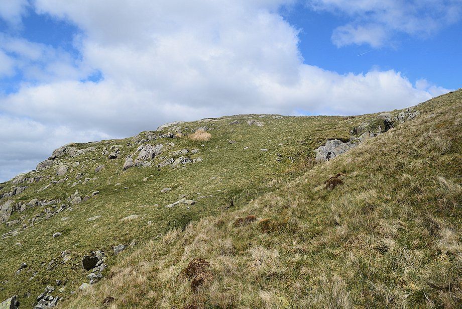 |
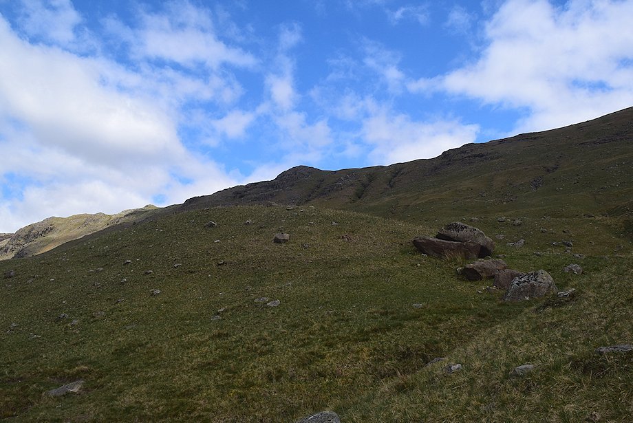
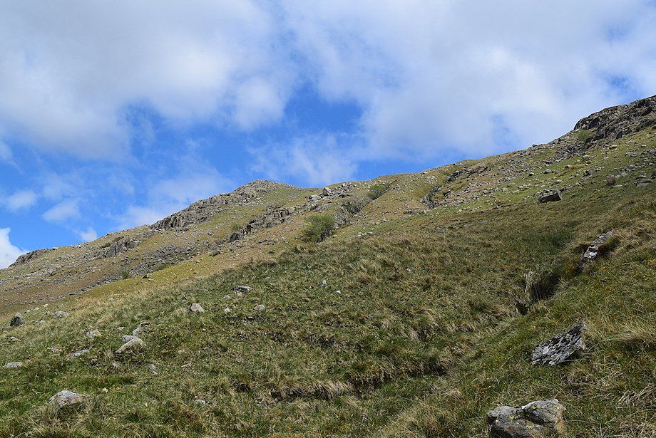
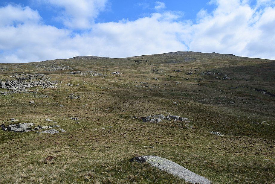
| Approaching the top of Brown Crag |
 |
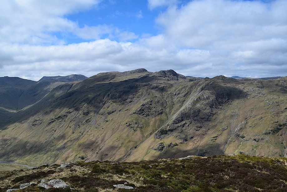
| The Glaramara ~ Rosthwaite Fell ridge from the top of Brown Crag |
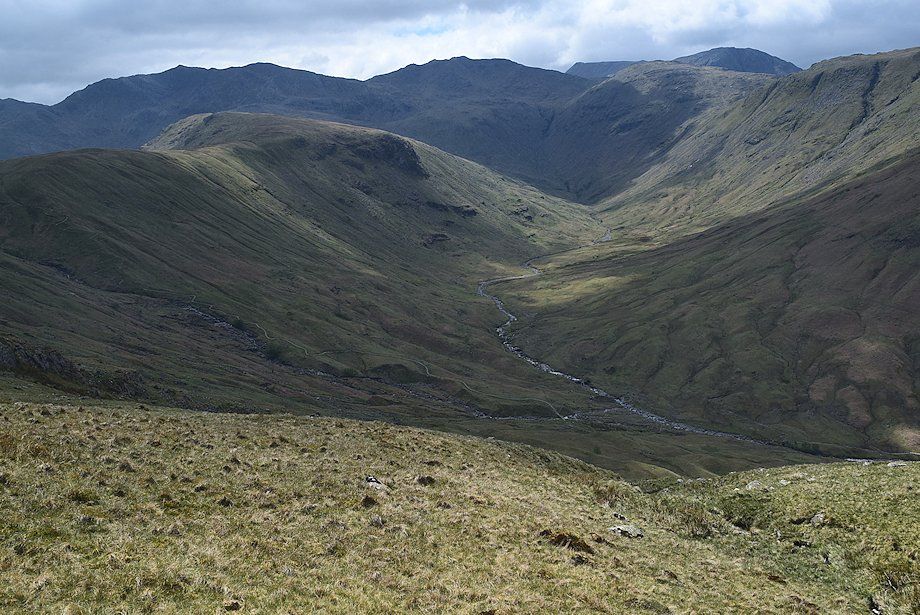 |
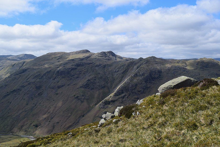
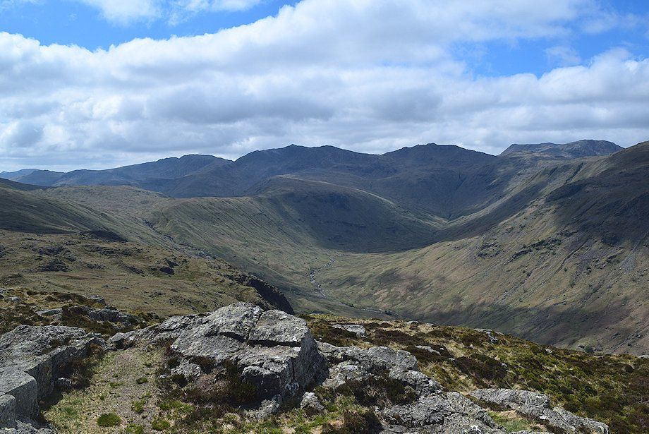
| The head of Langstrath from the top of Brown Crag |
 |
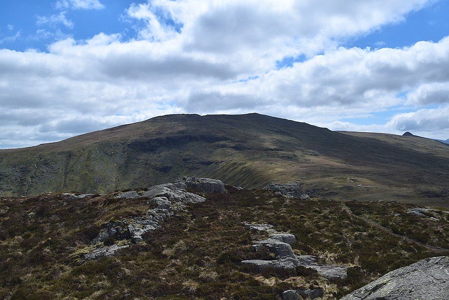
| High Raise from the top of Brown Crag |
 |
| Sergeant's Crag from the top of Brown Crag. Continue on the same line of ascent. Again there is no path so aim for the prominent rock tor which AW noted in his diagram of this ascent. A clear path leading to the summit of Sergeant's Crag appears on the ridge beyond the tor |
 |
| Looking back to the top of Brown Crag from the climb to the tor |
 |
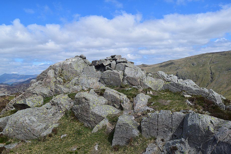
| Sergeant's Crag from the top of the rock tor |
 |
| Looking back to the top of the rock tor |
 |
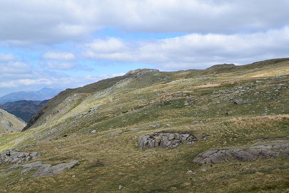
| Sergeant's Crag from the ridge path |
 |
| Looking back to High Raise from the ridge path |
 |
| On the final approach to the summit the path veers left to reach a stile over the sheep exclusion wall encircling the craggy western slopes of Sergeant's Crag and Eagle Crag |
 |
| Looking over towards Glaramara |
 |
| The stile over the wall, tall on this side ..... |
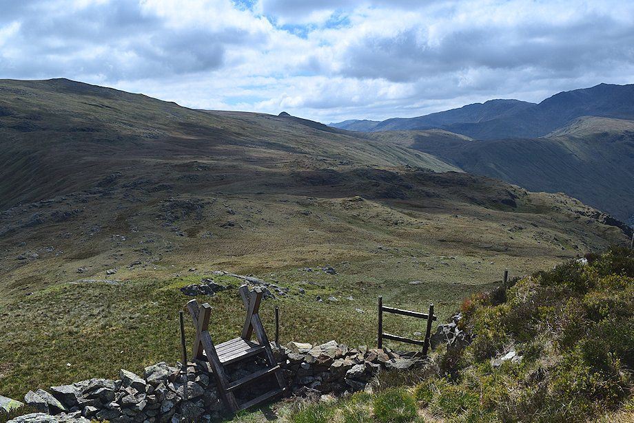 |
| ..... and short on the other |
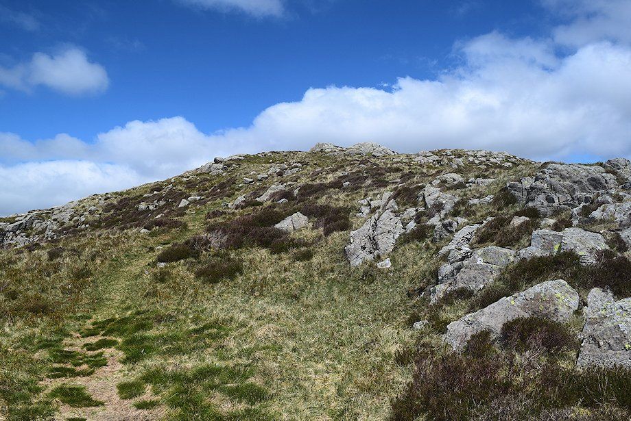 |
| The final slope leading up to the summit from the stile |
 |
| The steep profile of Honister Crag appears over Rosthwaite Cam |
 |
| Glaramara from the climb to the summit |
 |
| The summit cairn on Sergeant's Crag |
 |
| Ullscarf across the valley of Greenup Gill from the summit of Sergeant's Crag |
 |
| High Raise from the summit of Sergeant's Crag |
 |
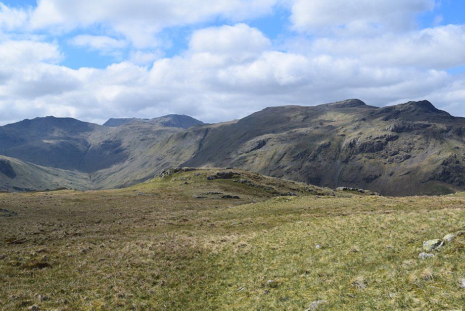
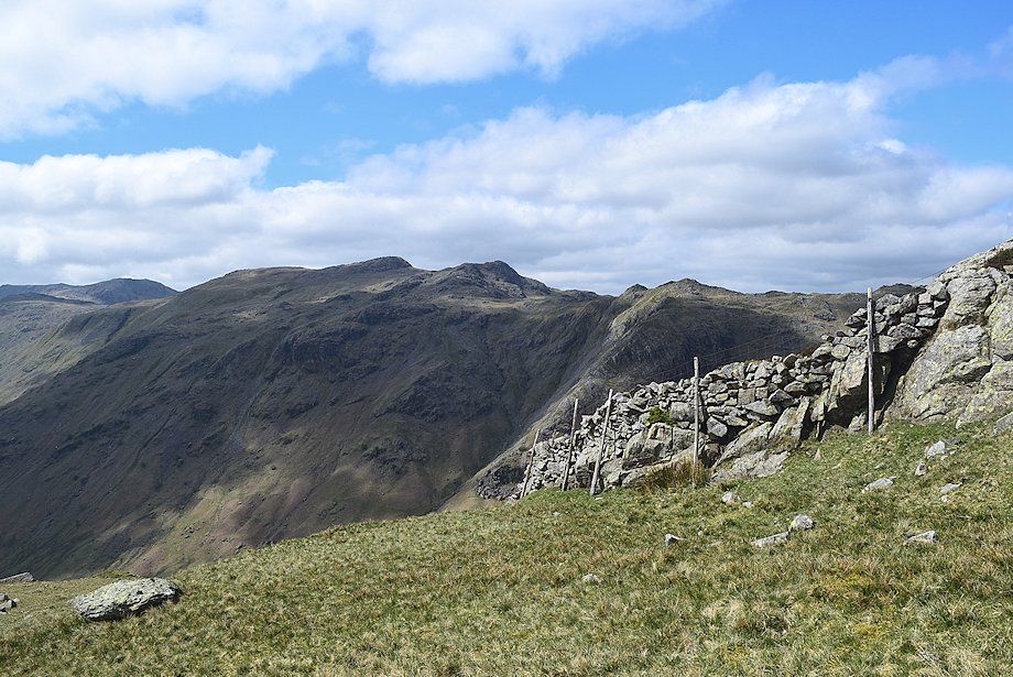
| Looking south-west, Dow Crag, Grey Friar, Cold Pike, Crinkle Crags, Bowfell, Esk Pike, Ill Crag, Scafell Pike and Great End form the skyline |
 |
| Glaramara from the summit of Sergeant's Crag |
 |
| The summits of Pillar, High Crag, High Stile, Fleetwith Pike, Blake Fell and Dale Head over the Glaramara ~ Rosthwaite Fell ridge |
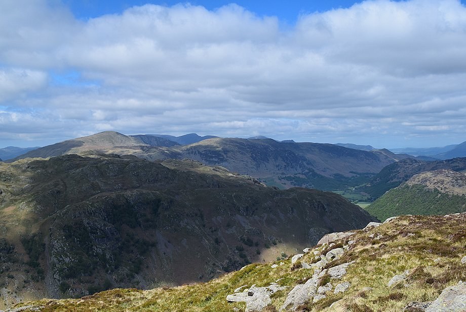 |
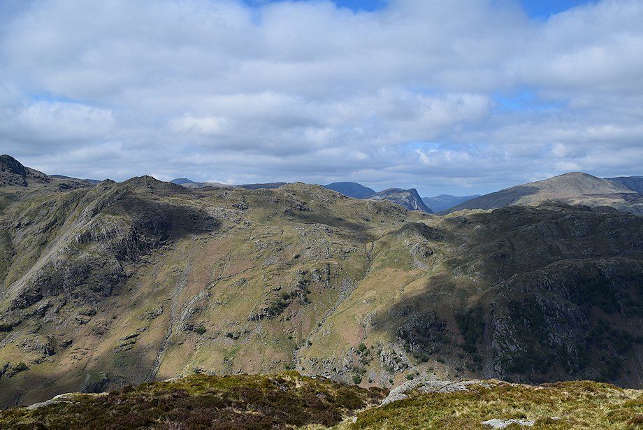
| The North-Western Fells over Rosthwaite Fell |
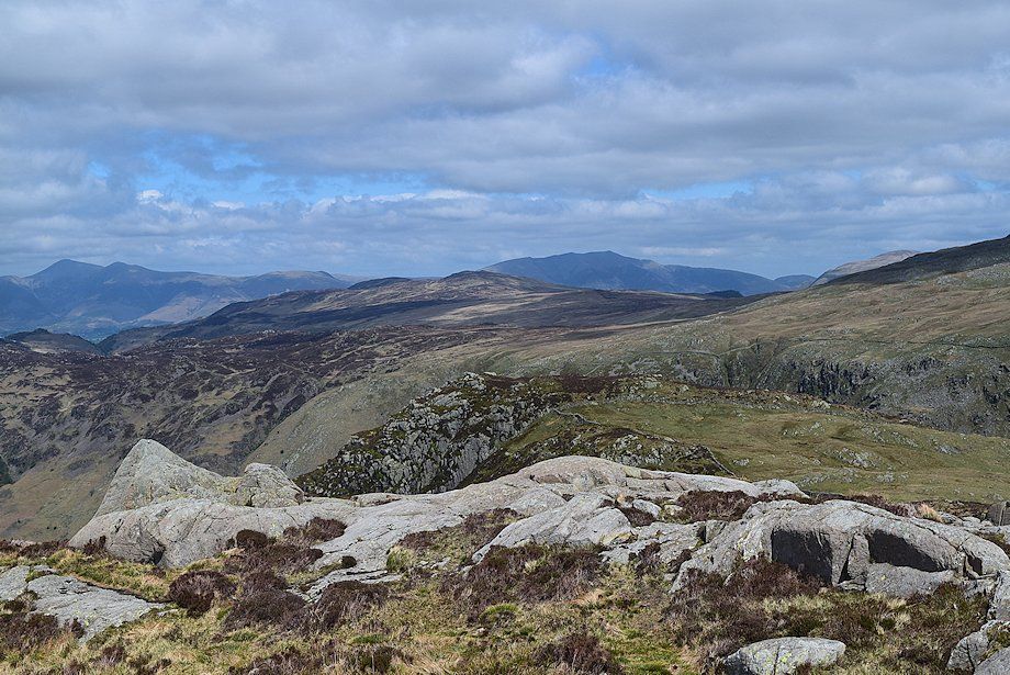 |
| Looking north, Skiddaw and Blencathra on the horizon, Bleaberry Fell and High Seat in the middle distance with the top of Eagle Crag in the foreground |