 |
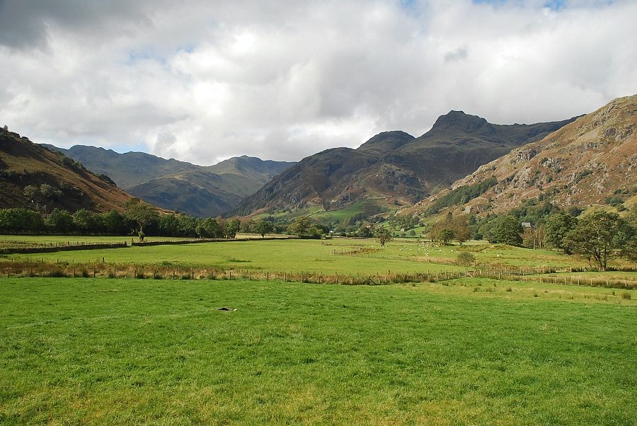
| The Langdale Pikes from the old road. There is lay-by parking near the juncton of the old road and the new road below Robinson Place. Walk back along the new road, passing Harry Place Farm to a roadside barn |
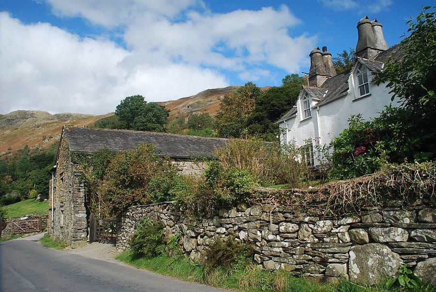 |
| Harry Place Farm |
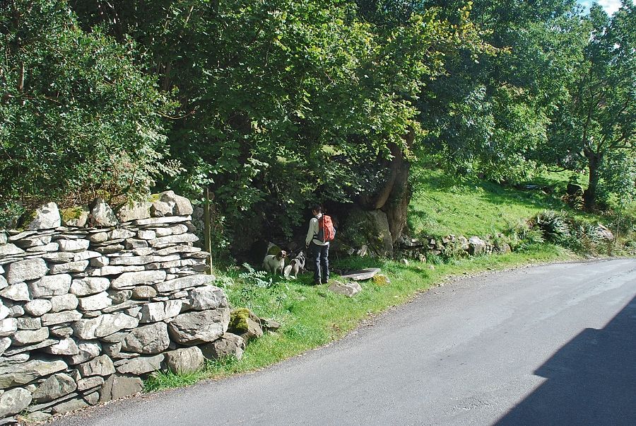 |
| Opposite the roadside barn is the start of a footpath which is almost hidden in the trees |
 |
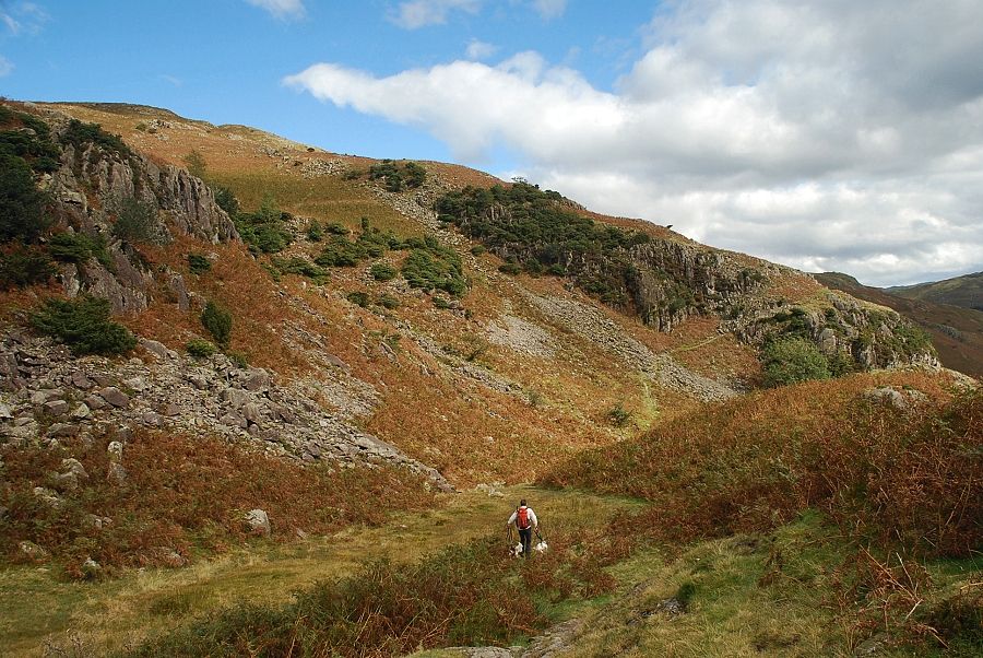
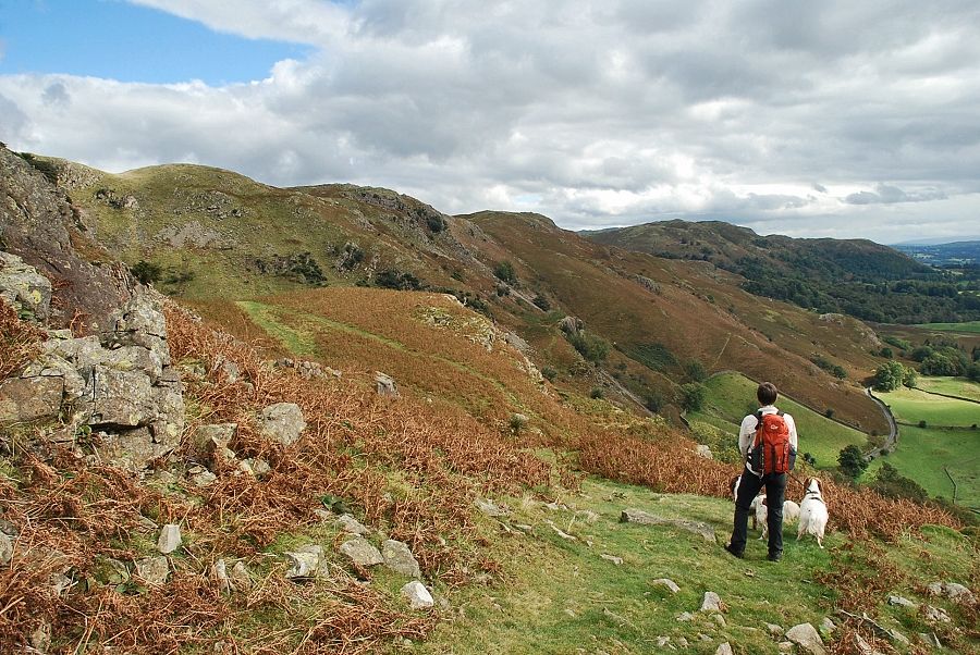
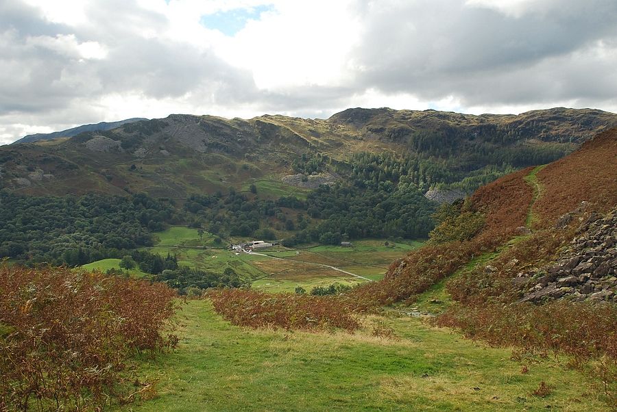
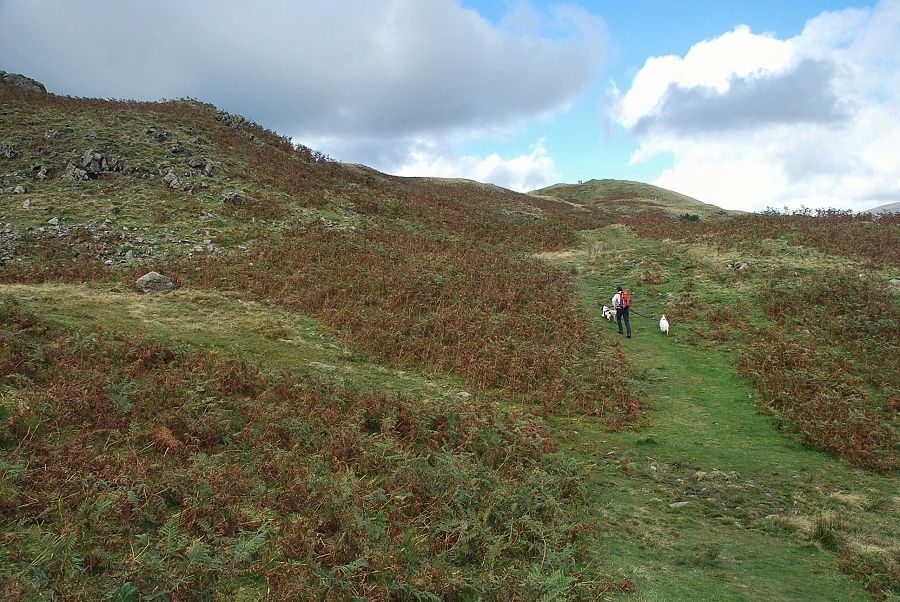
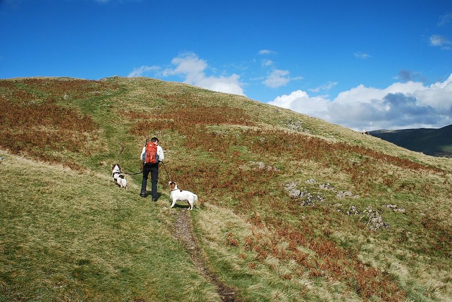
| The footpath rises steeply to a fence stile and onto the open fellside above Great Langdale |
 |
| Climbing towards the saddle behind Copt How |
 |
| Looking towards Black Fell from the saddle behind Copt How |
 |
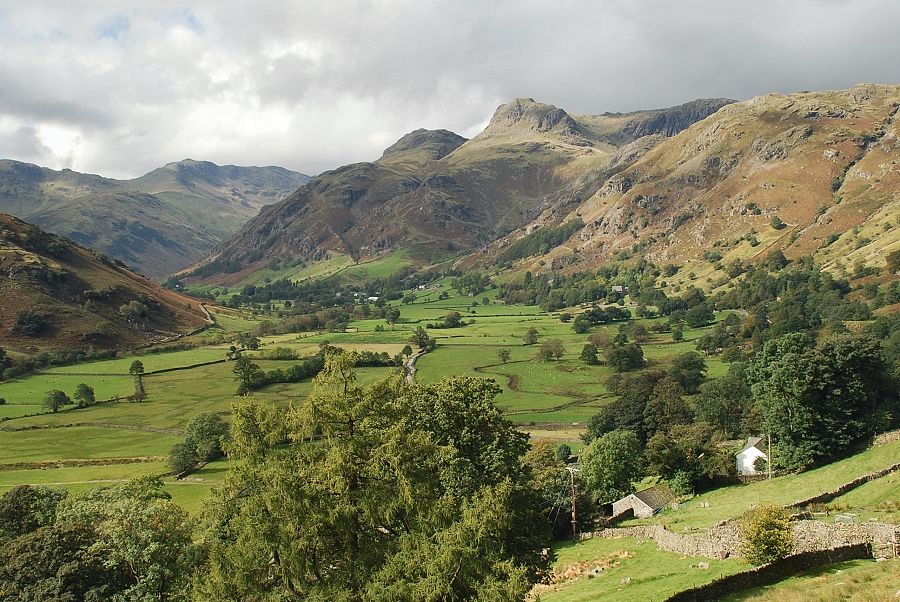
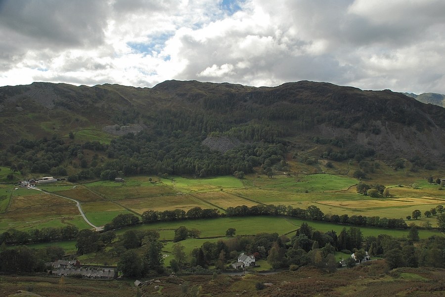
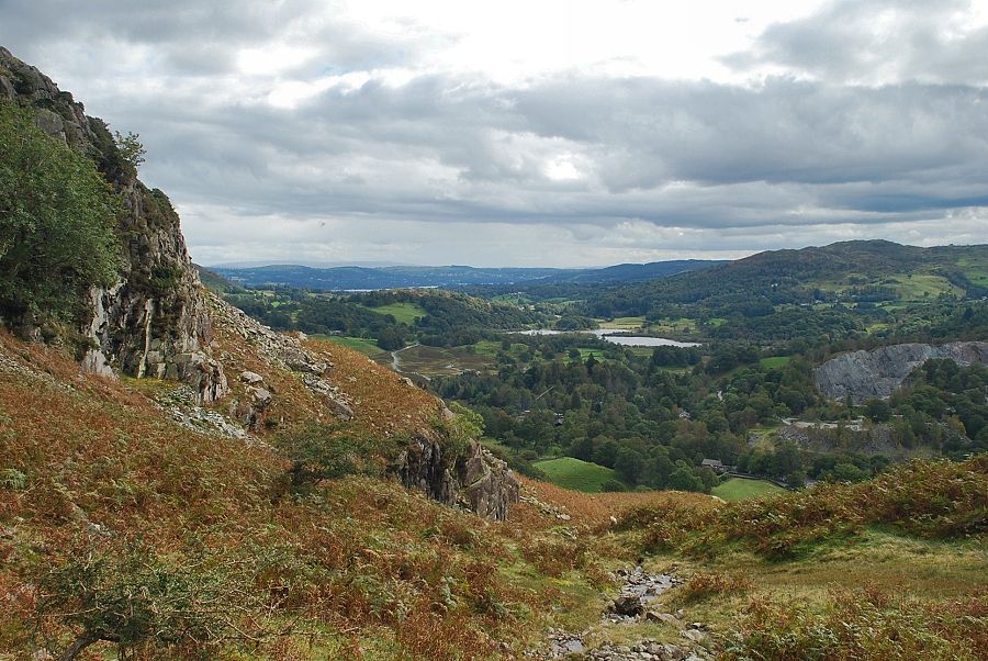
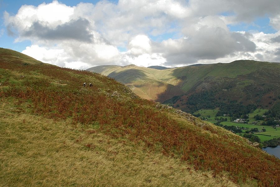
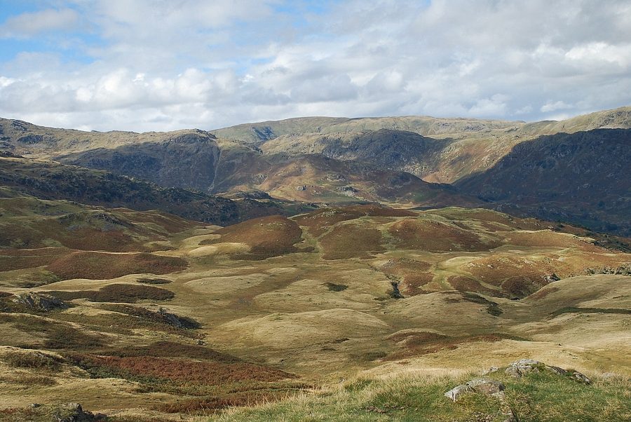
| Great Langdale from Copt How |
 |
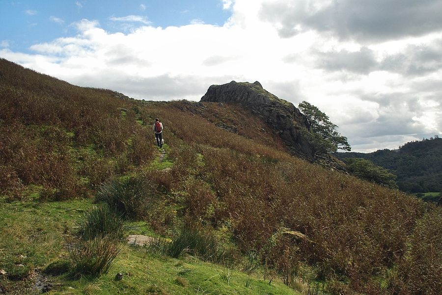
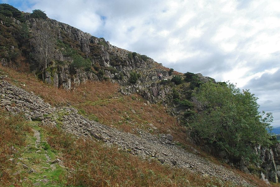
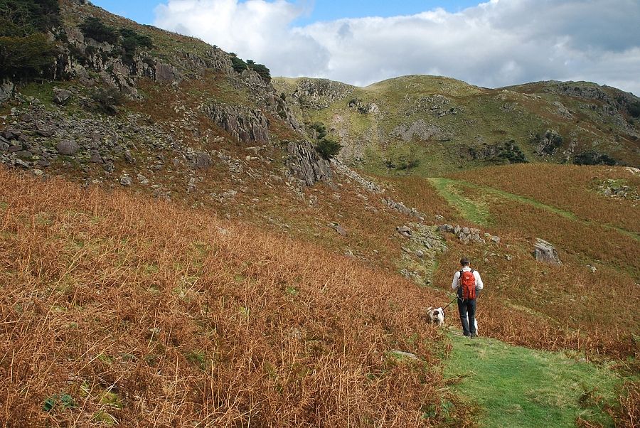
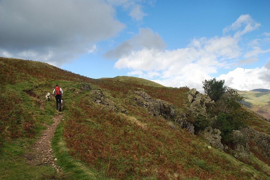
| Climbing towards Thrang Crag |
 |
| Looking over to Lingmoor Fell from the climb to Thrang Crag |
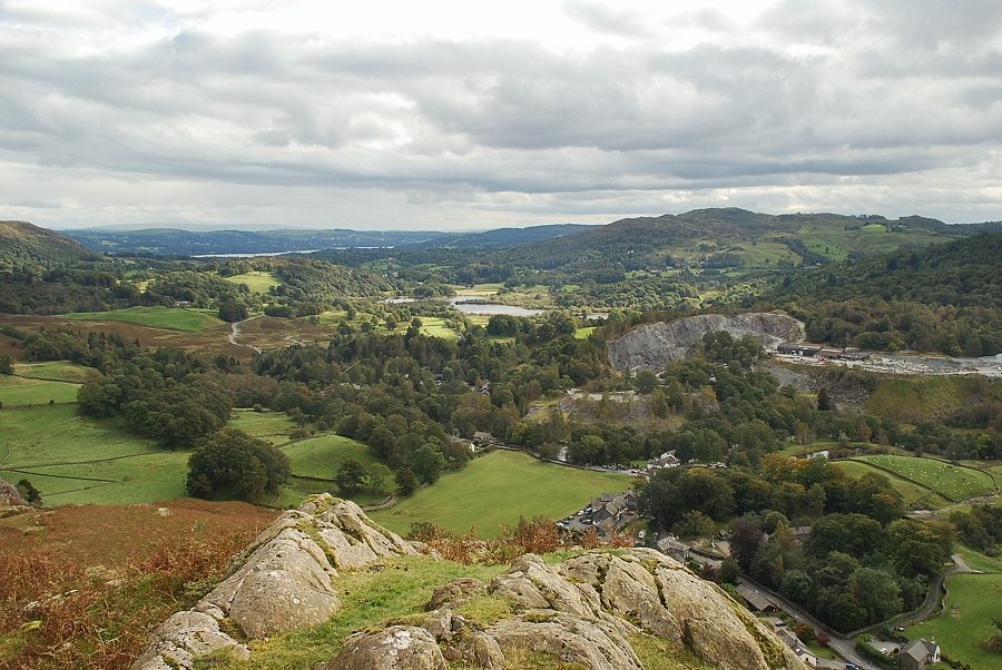 |
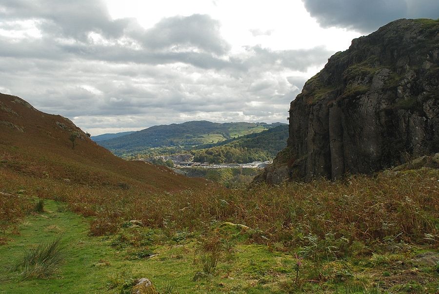
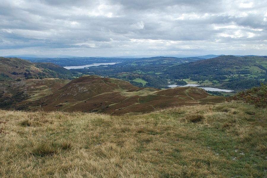
| Elterwater from the top of Thrang Crag |
 |
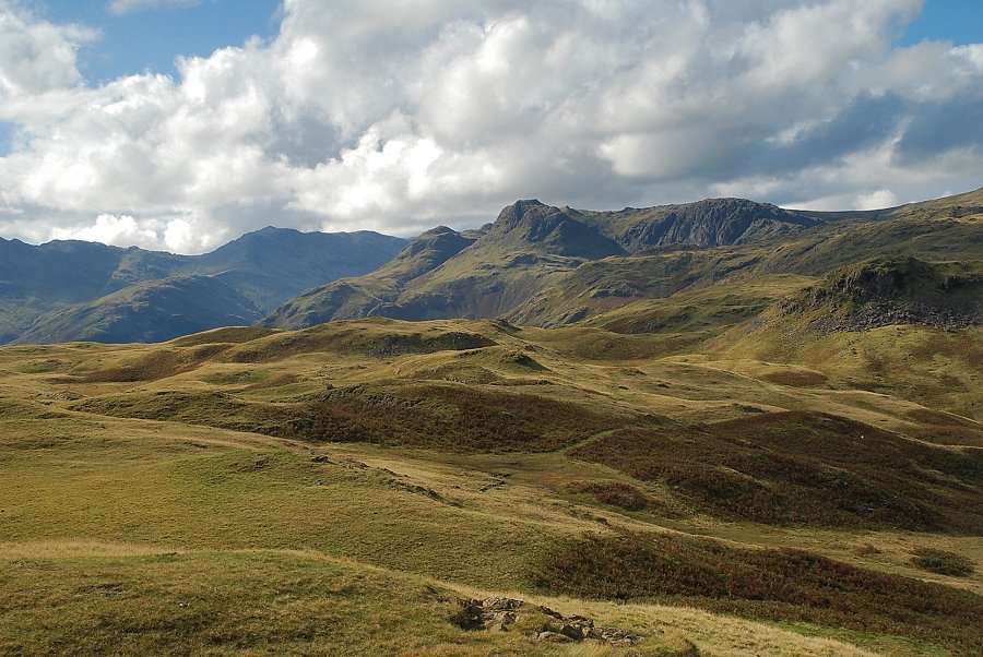
| Bowfell and the Langdale Pikes from the top of Thrang Crag |
 |
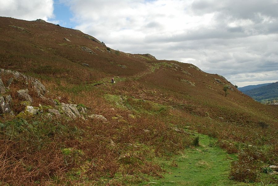
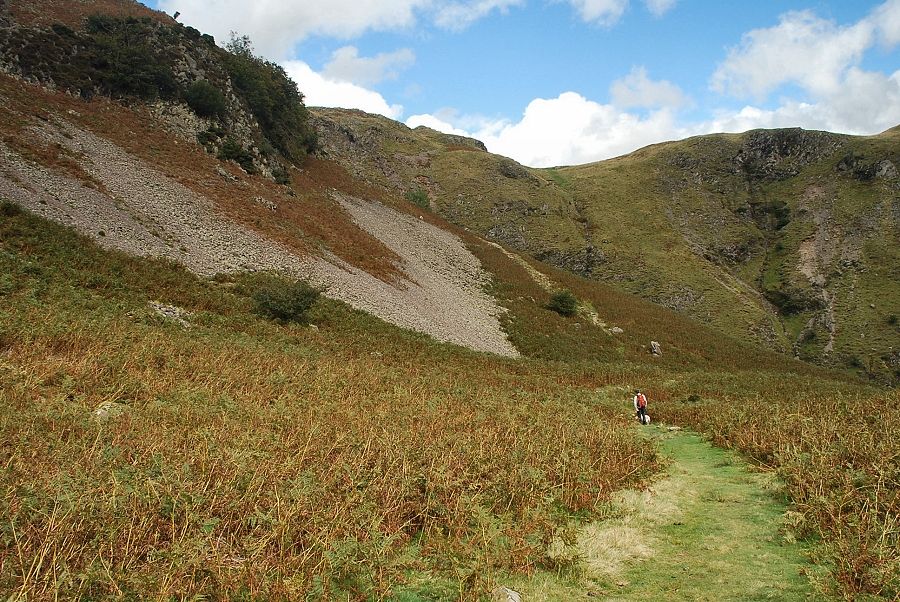
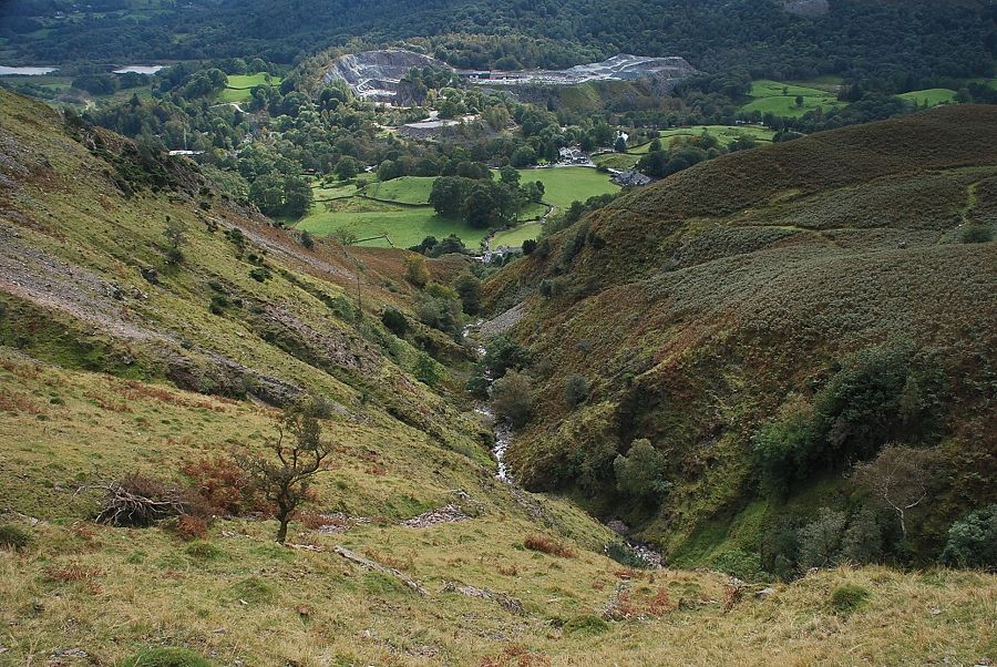
| From the top of Thrang Crag the path descends towards an unnamed gill |
 |
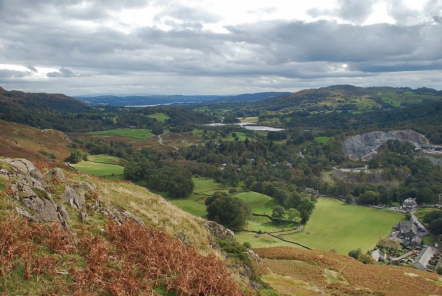
| Elterwater from the unnamed gill |
 |
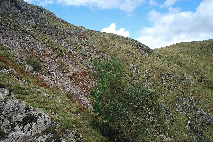
| The path exits the gill via a rock step on its east side |
 |
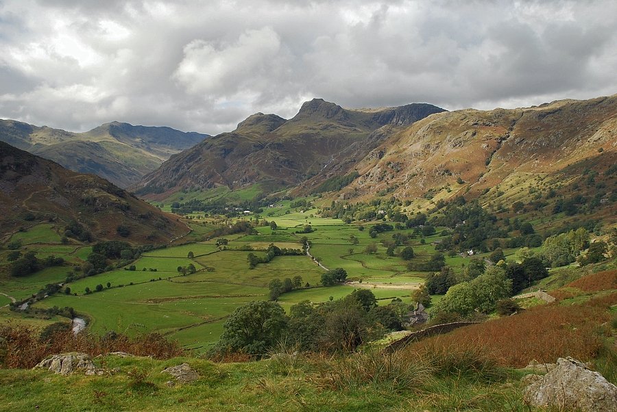
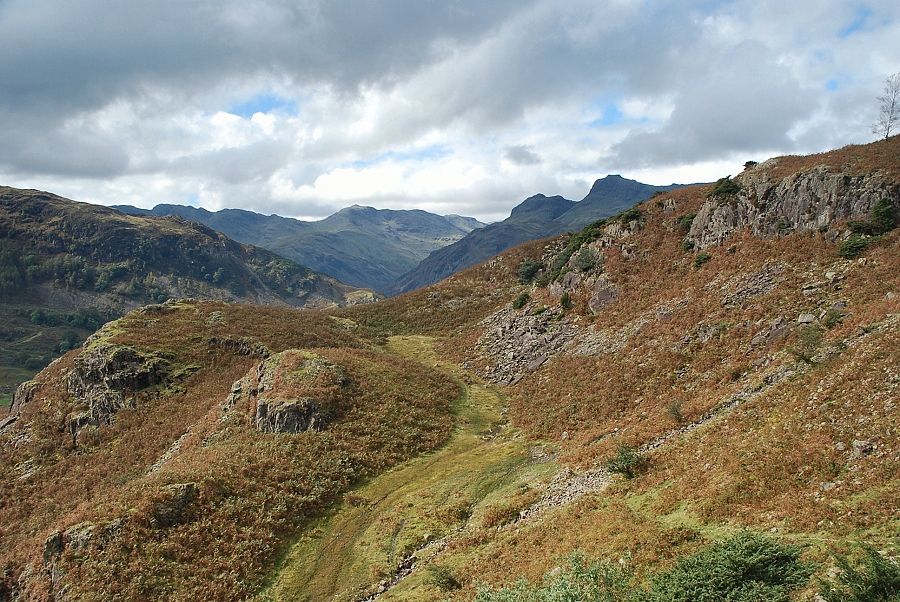
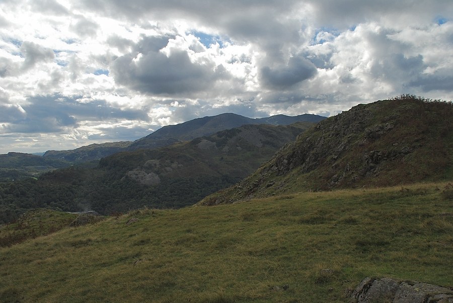
| Looking back towards Crinkle Crags and Bowfell |
 |
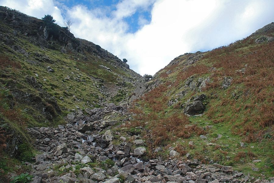
| Looking down the gill from the rock step |
 |
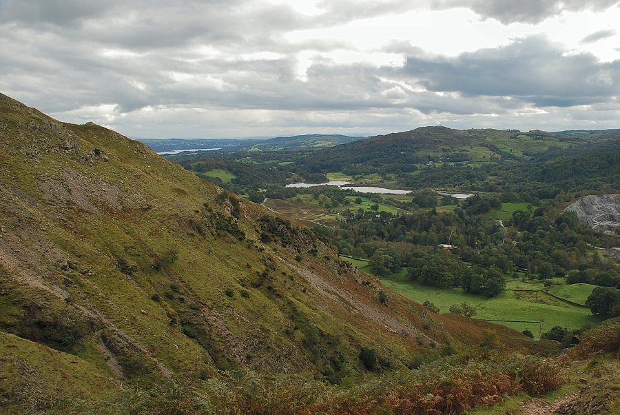
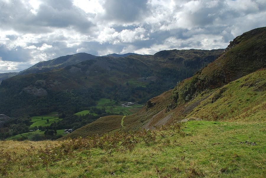
| Looking over to Dow Bank and Loughrigg Fell from the top of the rock step |
 |
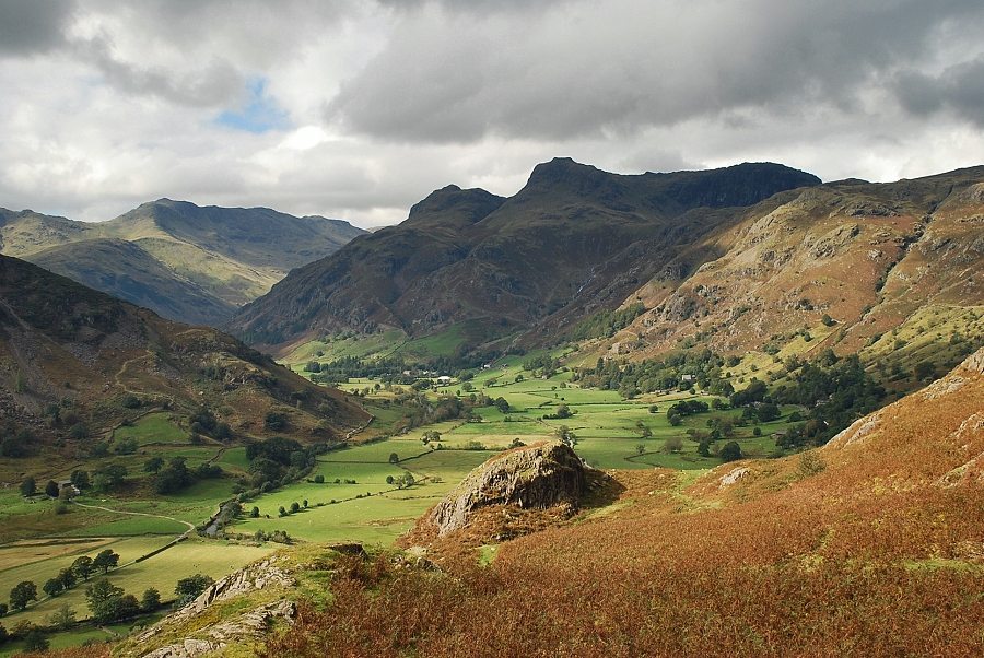
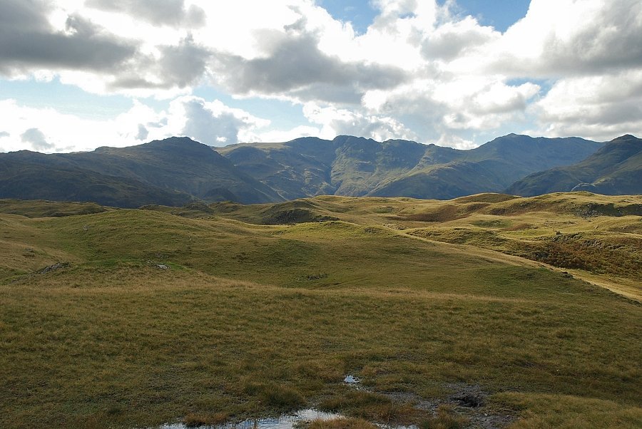
| Crinkle Crags, Bowfell, and the Langdale Pikes from the top of the rock step |
 |
| Elterwater and Windermere from the top of the rock step |
 |
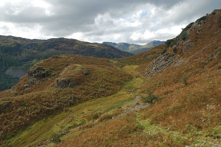
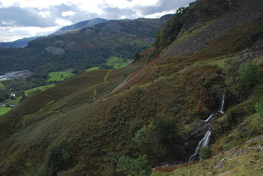
| From the top of the rock step the path continues on towards Meg's Gill and joins the direct path which comes up from Chapel Stile |
 |
| Looking back to Lingmoor Fell |
 |
| Approaching Meg's Gill |
 |
| Elterwater across Meg's Gill |
 |
| Looking up the upper section of Meg's Gill |
 |
| Looking down Meg's Gill |
 |
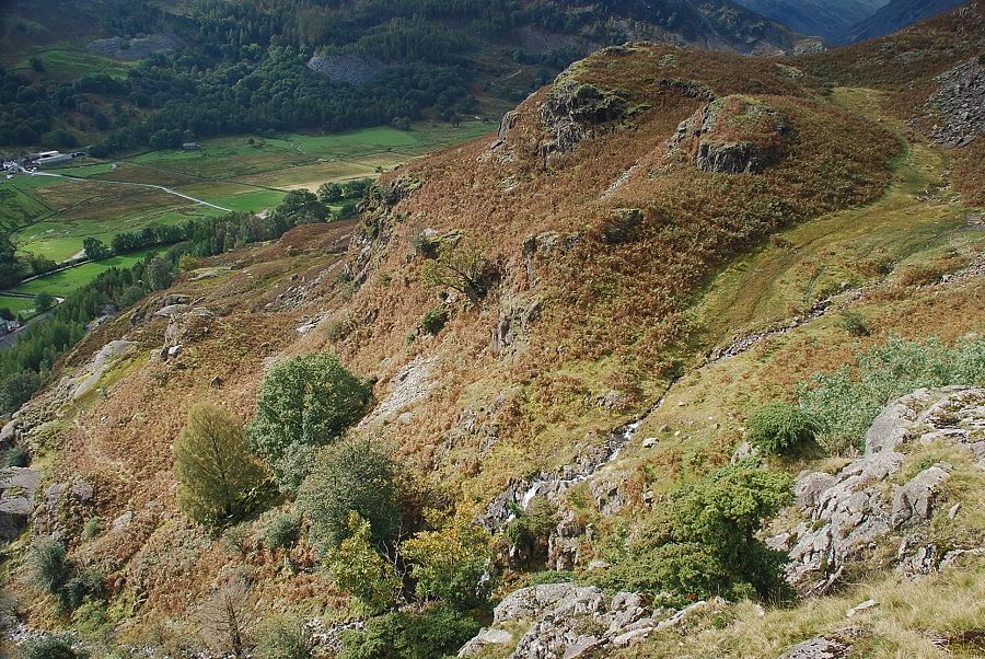
| The path crosses Meg's Gill and makes a rising traverse of the scree slope on the other side towards a shallow col on the ridgeline |
 |
| Looking back on the waterfalls in Meg's Gill |
 |
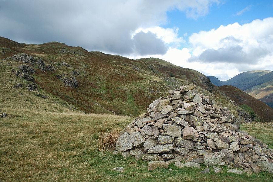
| The path emerges onto the shallow col at a marker cairn below the Silver How escarpment. The ascent continues on the path to the left, through the lowest crags of the escarpment, the main path crosses the col and descends to Grasmere |
 |
| Looking back from the marker cairn to the Coniston fells over Lingmoor Fell |
 |
| Above the lowest crags on the escarpment is the "big cairn" which AW noted, from where the summit of Silver How comes into view for the first time, seen here just to the right of centre in the photo |
 |
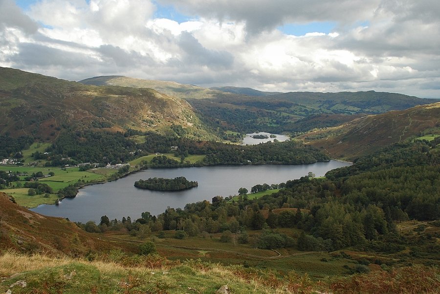
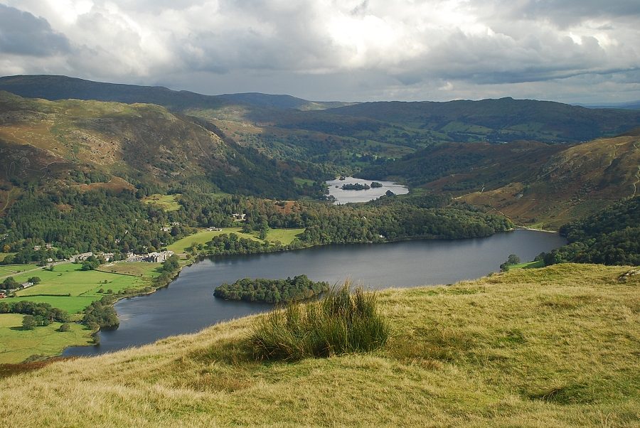
| Grasmere and Rydal Water from the big cairn |
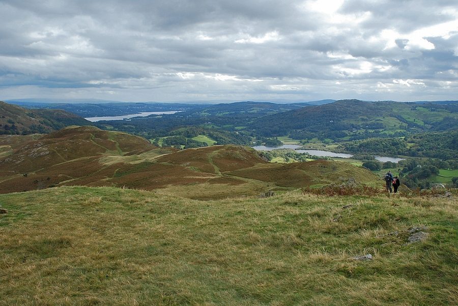 |
| Windermere and Elterwater from the big cairn |
 |
| Looking back to the Coniston Fells from the big cairn |
 |
| Continuing along the escarpment towards the summit of Silver How |
 |
| Looking over towards Fairfield, Great Rigg, Hart Crag and Heron Pike from the escarpment |
 |
| Passing the "holly tree" which AW noted on page 5 of his Silver How chapter |
 |
| Looking back to Windermere and Elterwater |
 |
| Grasmere and Rydal Water from the Silver How escarpment |
 |
| Approaching the summit of Silver How |
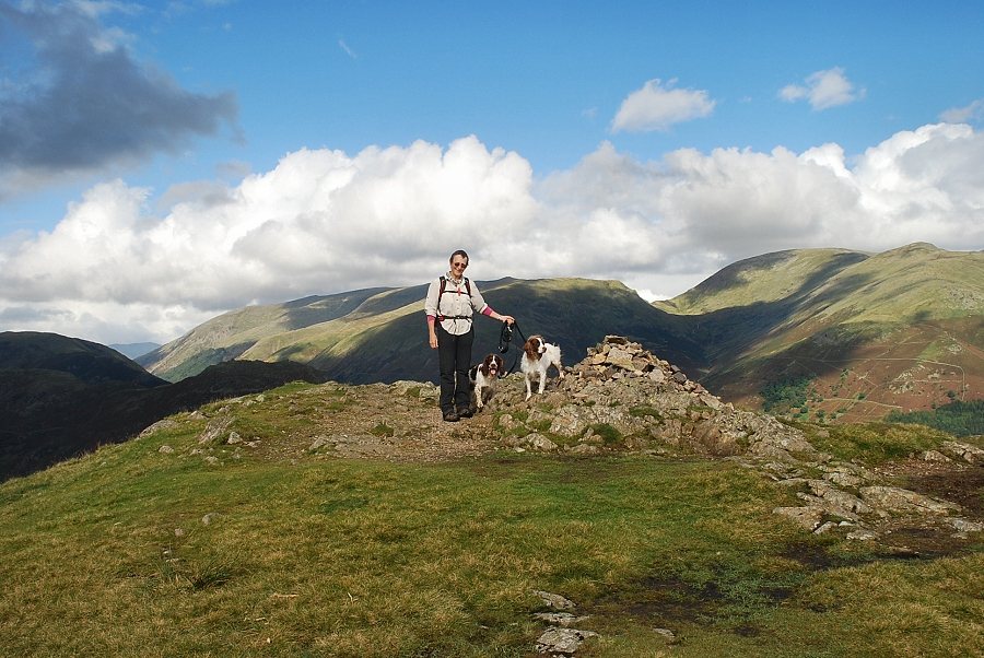 |
| The summit cairn on Silver How |
 |
| Looking over Blea Rigg to Pavey Ark, Sergeant Man and Tarn Crag |
 |
| Tarn Crag on the left with Ullscarf on the centre horizon above Calf Crag |
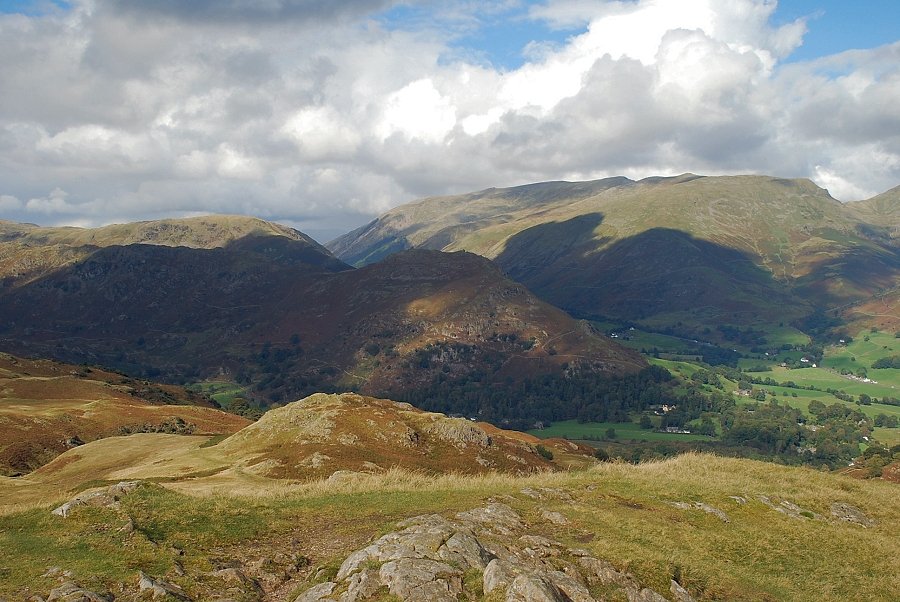 |
| Steel Fell, Helm Crag, with Helvellyn and Seat Sandal |
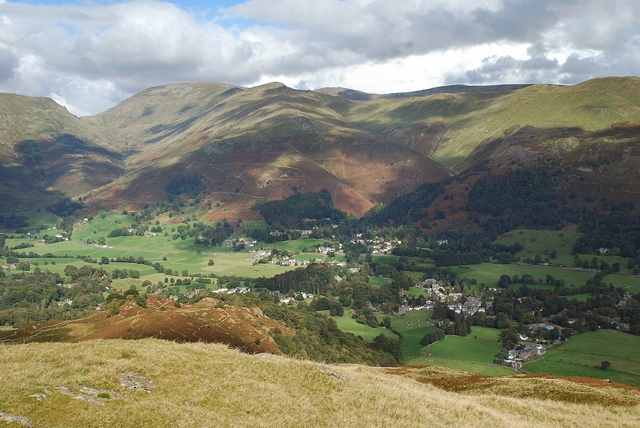 |
| Grasmere Village with Fairfield, Great Rigg, Hart Crag, Dove Crag and Heron Pike on the skyline |
 |
| Nab Scar above the head of Grasmere |
 |
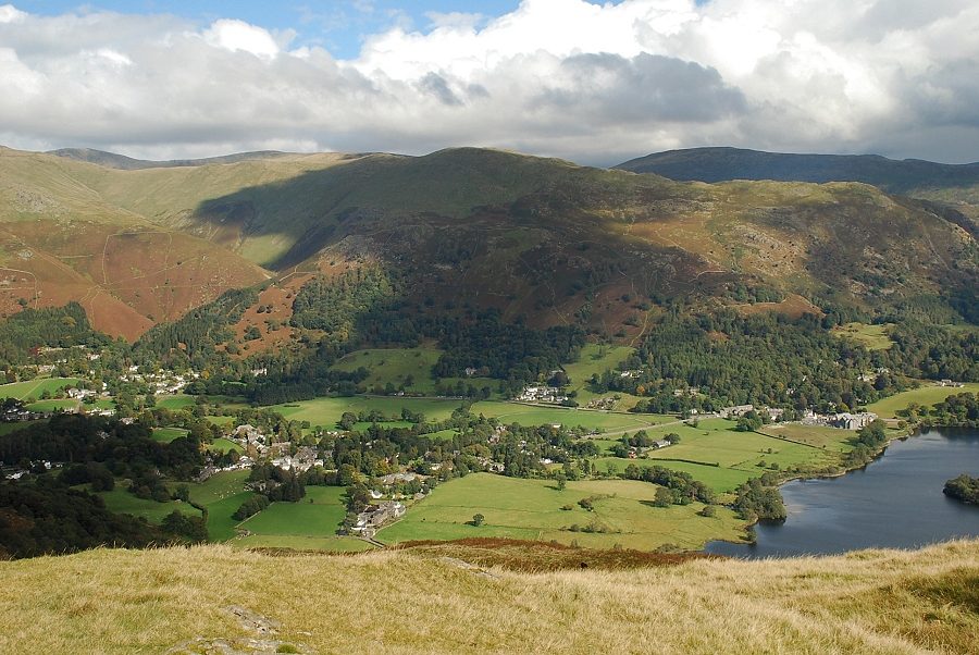
| Grasmere and Rydal Water from the summit of Silver How |
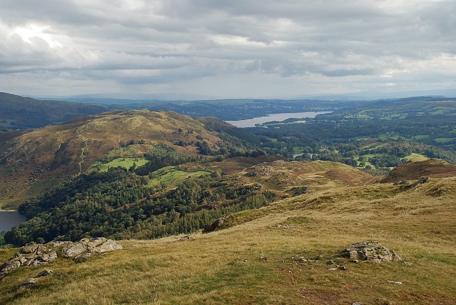 |
| Loughrigg Fell and Windermere from the summit of Silver How |
 |
| The Coniston Fells from the summit of Silver How |
 |
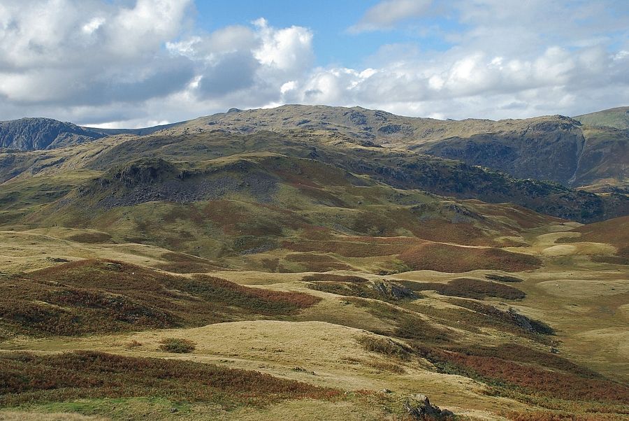
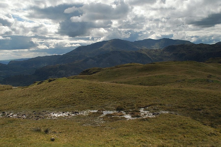
| Pike o' Blisco, Crinkle Crags and Bowfell |
 |
| The Langdale Pikes from the summit of Silver How |
