 |
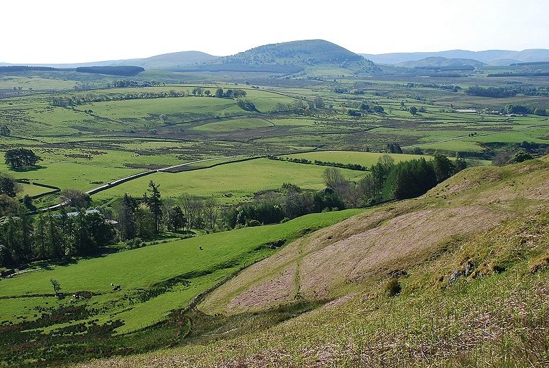
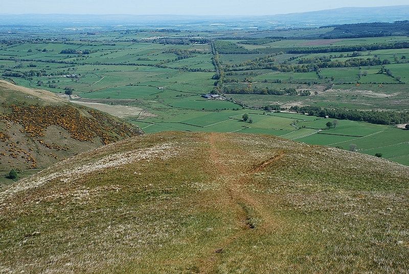
| Souther Fell from Mungrisdale, the route follows the ridge from the right of the photo |
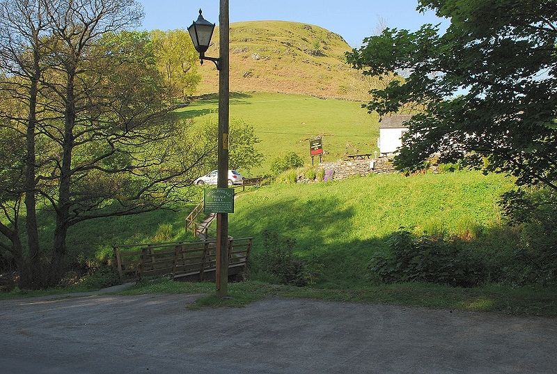 |
| The usual starting point is the small car park opposite the community hall in the village, a donation towards the upkeep of hall is requested. The original route as shown in the first edition of the guide ascended the field above the Mill Inn to gain the open fellside, that approach is now discouraged |
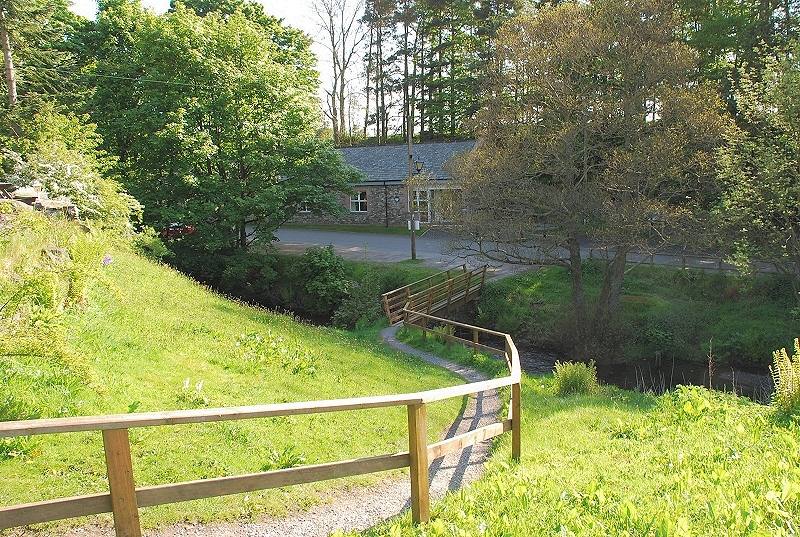 |
| Looking back to the community hall after crossing the footbridge over the River Glenderamackin |
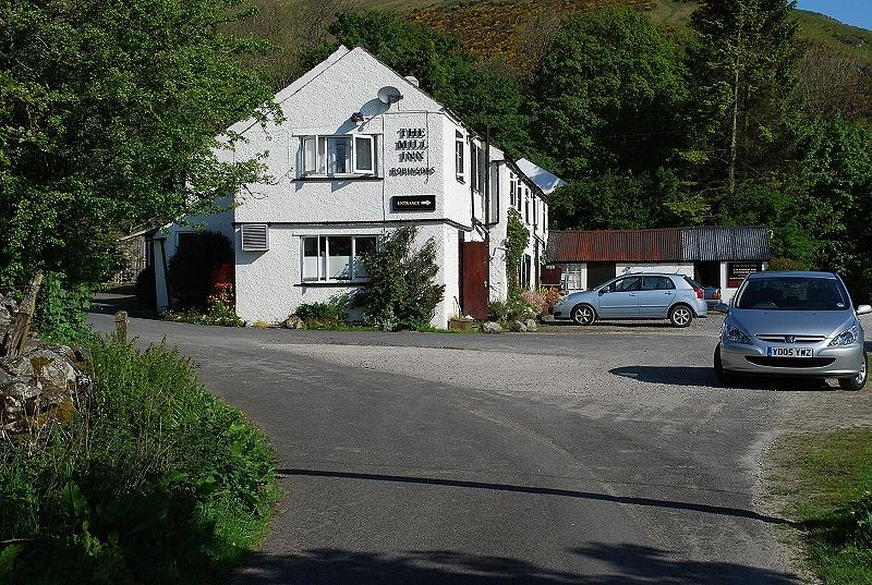 |
| The Mill Inn has a good reputation for fine ales and bar meals, well worth a visit after the walk ... or before! |
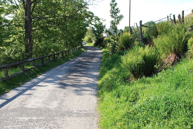 |
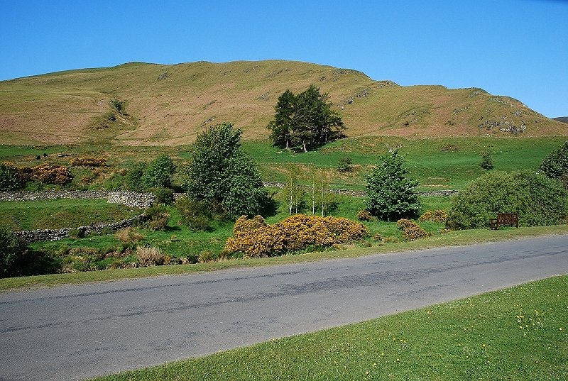
| The minor road from Mungrisdale to Scales which is followed for about 300 yards in order to outflank the fields on the lower slope |
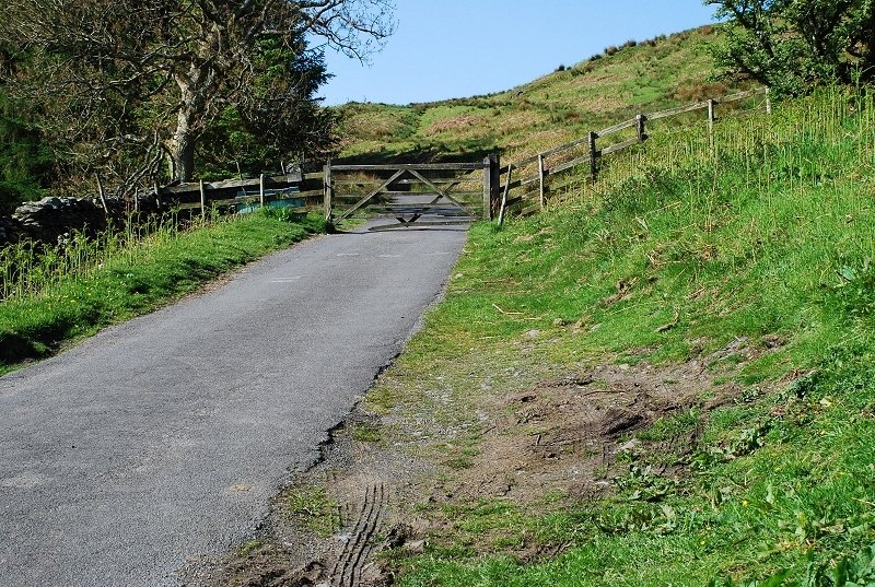 |
| The road rises to a gate which is used for stock control, beyond it the fellside is free of walls and fences and is open access land |
 |
| There is a choice of paths to reach the ridgeline from the gate. This is the middle one of three that cut back above the road and seems to be the most popular, others rise more directly from the road towards the summit |
 |
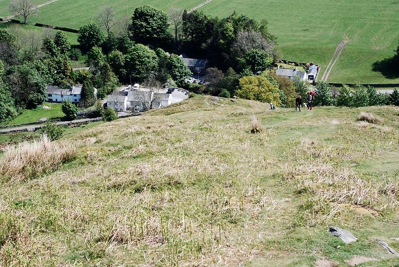
| Looking down on Mungrisdale village from the path to the ridge |
 |
| Looking back to Little Mell Fell and Great Mell Fell |
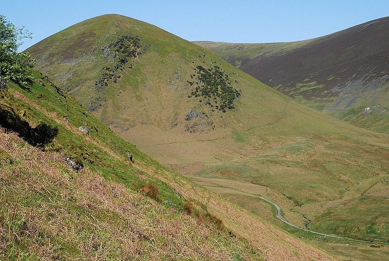 |
| The path reaches the ridgeline near a series of low rocky steps and gives a view 'round the corner' into lower Bannerdale which is dominated by The Tongue, the eastern spur of Bowscale Fell |
 |
| Looking down to Mungrisdale village |
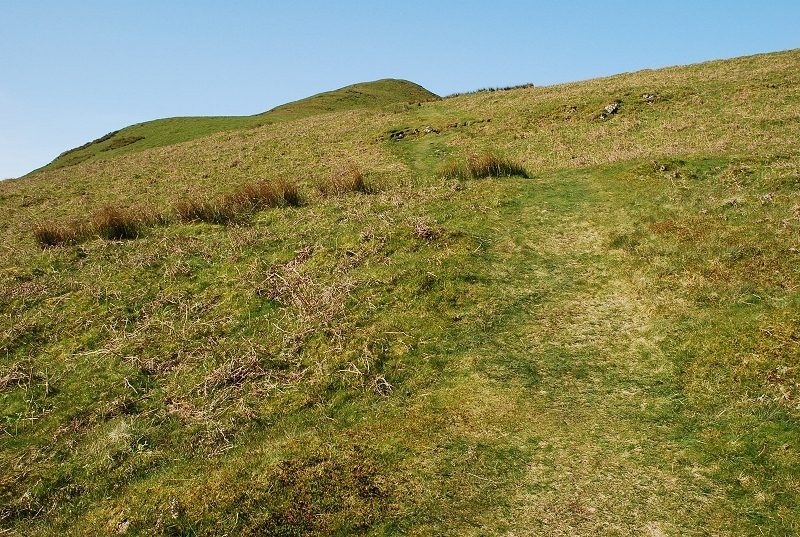 |
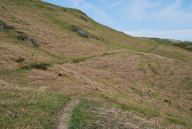
| There is not much to see on the early stage of the climb up the steep grass slope |
 |
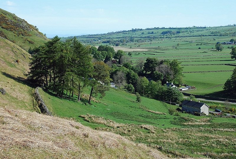
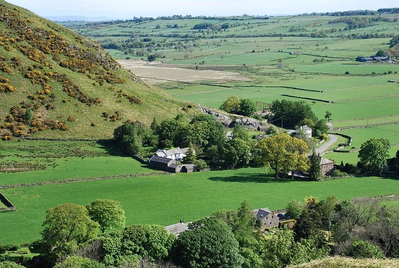
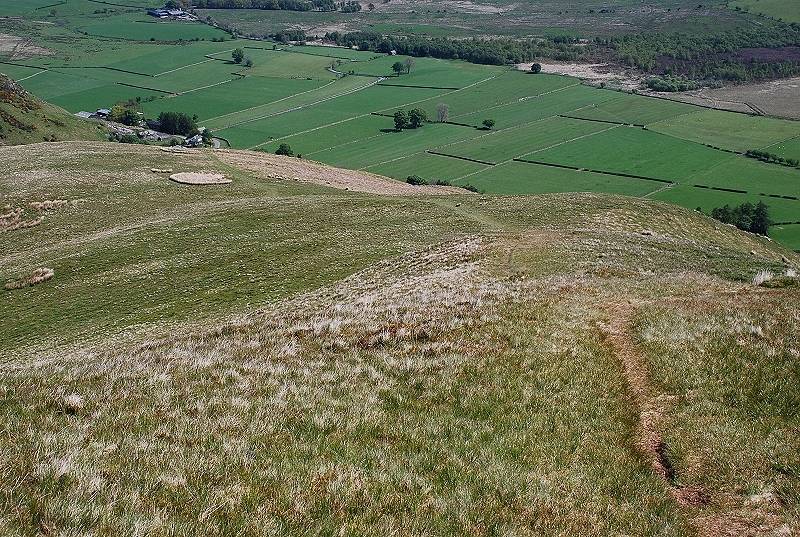
| Looking back down on Mungrisdale from the lower part of the ridge after climbing over the last of the rocky steps |
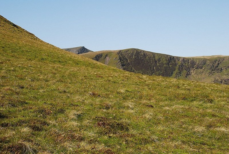 |
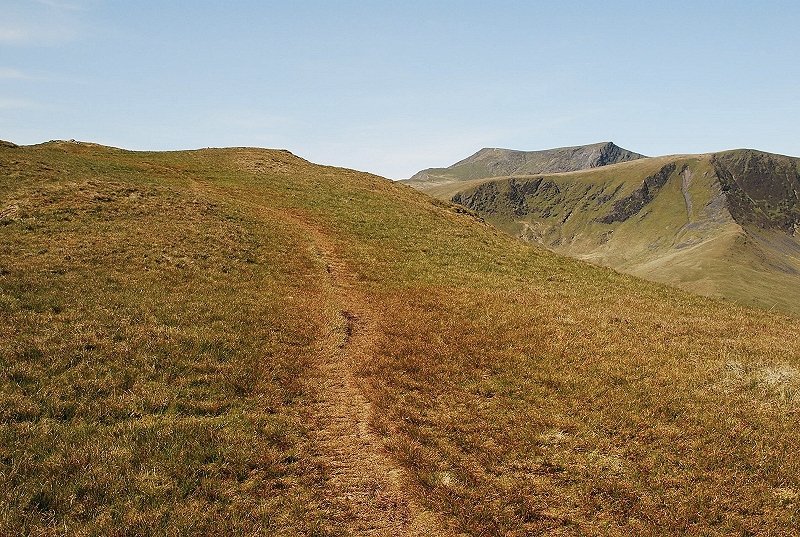
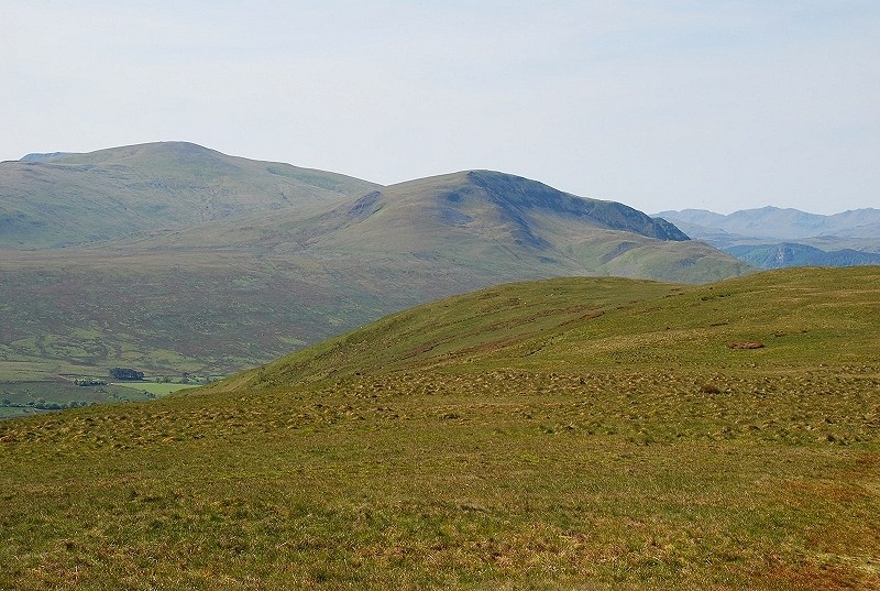
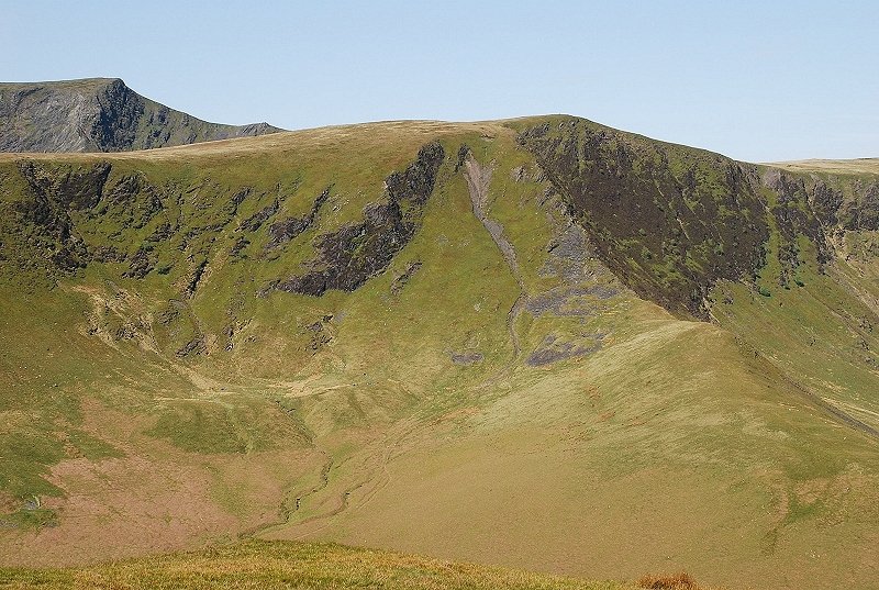
| Foule Crag on Blencathra appears over Bannerdale Crags |
 |
| Looking back over the mid section of the ridge which is much easier angled |
 |
| The final steeper section that leads onto the summit ridge |
 |
| Looking back from the top of the final steep slope to the the wide Eden valley |
 |
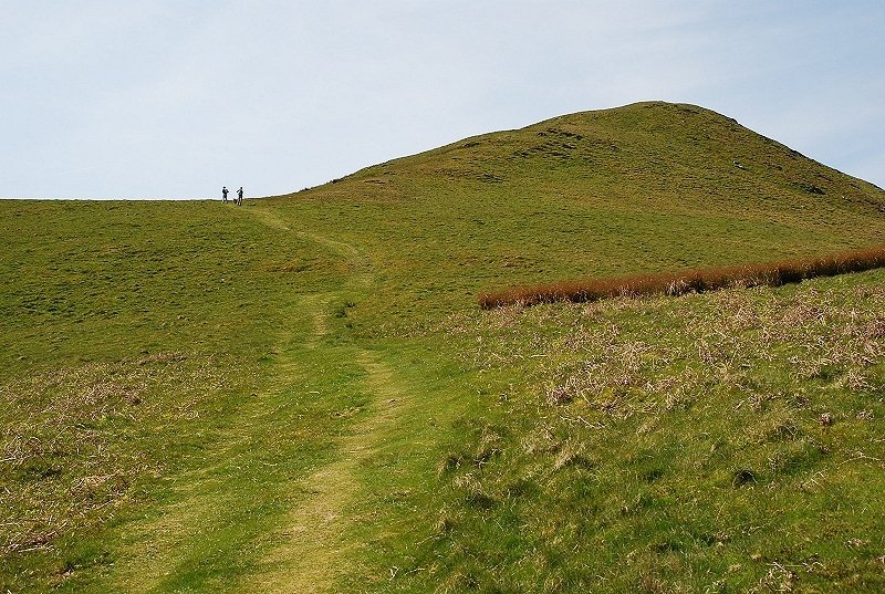
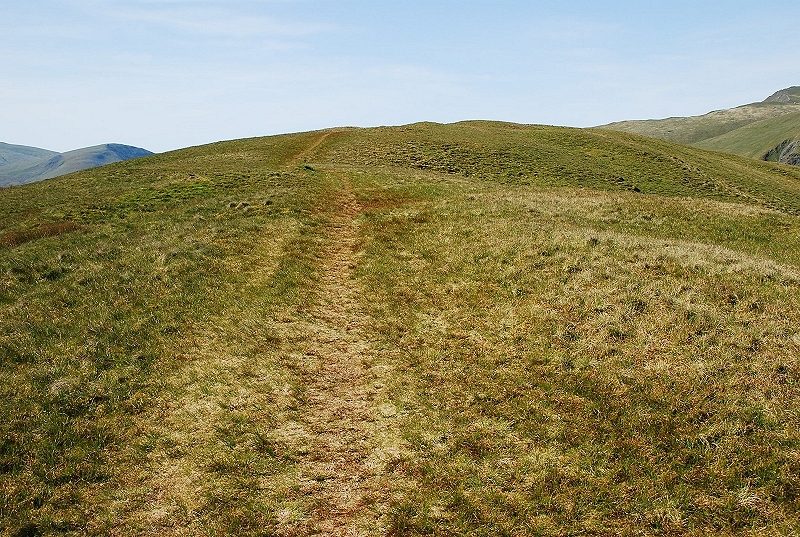
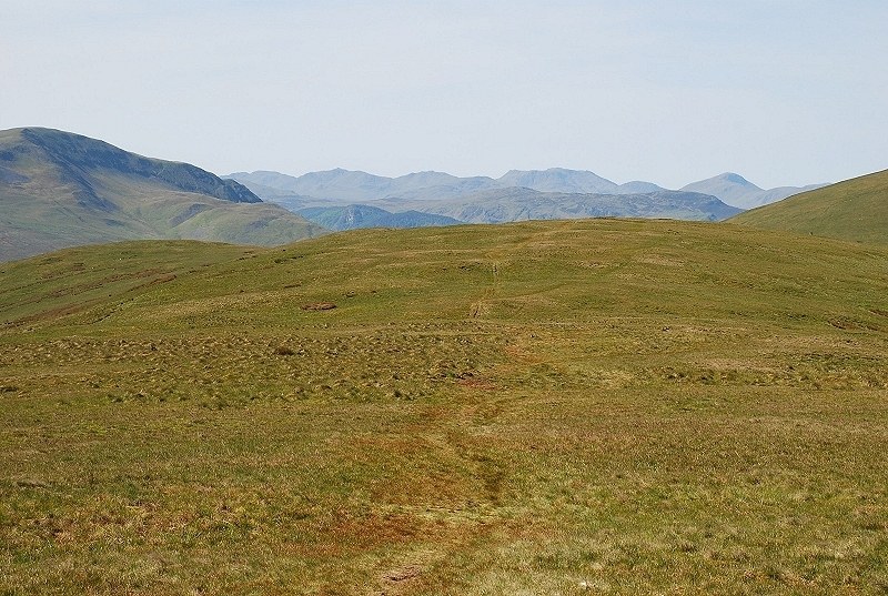
| The gradient is now much easier as the top of the ridge comes into view although the summit is still quite some distance away |
 |
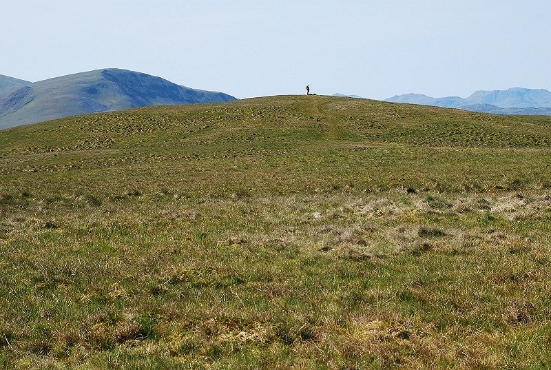
| The wide grassy summit ridge of Souther Fell |
 |
| The summit comes into view with Clough Head on the left |
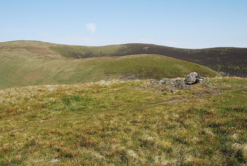 |
| The actual summit is marked by a solitary stone set on a small area of exposed bedrock |
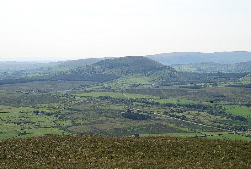 |
| Looking south-east to Little and Great Mell Fell with Loadpot Hill on the skyline. |
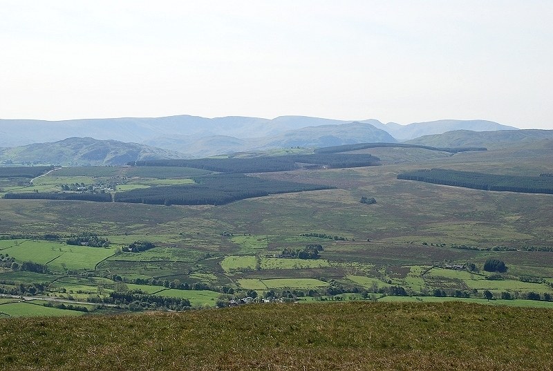 |
| The long line of the Far Eastern Fells with Gowbarrow Fell and Place Fell in the middle distance |
 |
| The sharp peak of Catstycam appears between Hart Side and Helvellyn |
 |
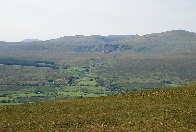
| Great Dodd and Clough Head |
 |
| Framed between the slopes of Clough Head and Blencathra, Crinkle Crags, Bowfell, Esk Pike, Scafell Pike, Lingmell, Great Gable, Brandreth and Kirk Fell |
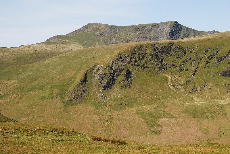 |
| Blencathra over the south-east ridge of Bannerdale Crags |
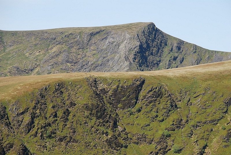 |
| A closer look of Foule Crag, the paler slope to the left is the upper section of the Sharp Edge route to Blencathra |
 |
| The summit of Bannerdale Crags and its narrow east ridge |
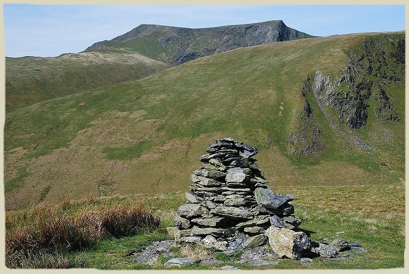 |
| The solitary cairn AW sketched which overlooks the Bannerdale slopes. Souther Fell - page 2 |
