 |
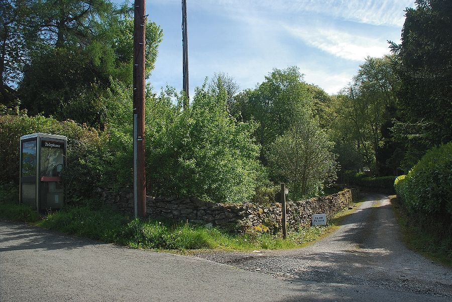
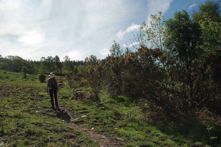
| There is a space to park near the telephone kiosk in the centre of the village just a few yards from the start of the walk . . . a walled lane which is signposted as a public bridleway to Simpson Ground |
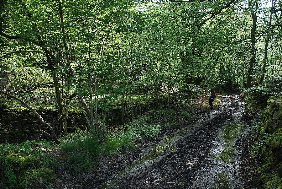 |
| The lane leads through Chapel House Wood and is quite wet in parts! |
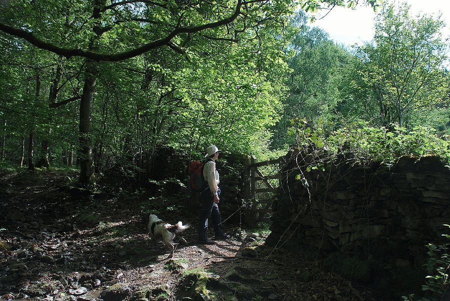 |
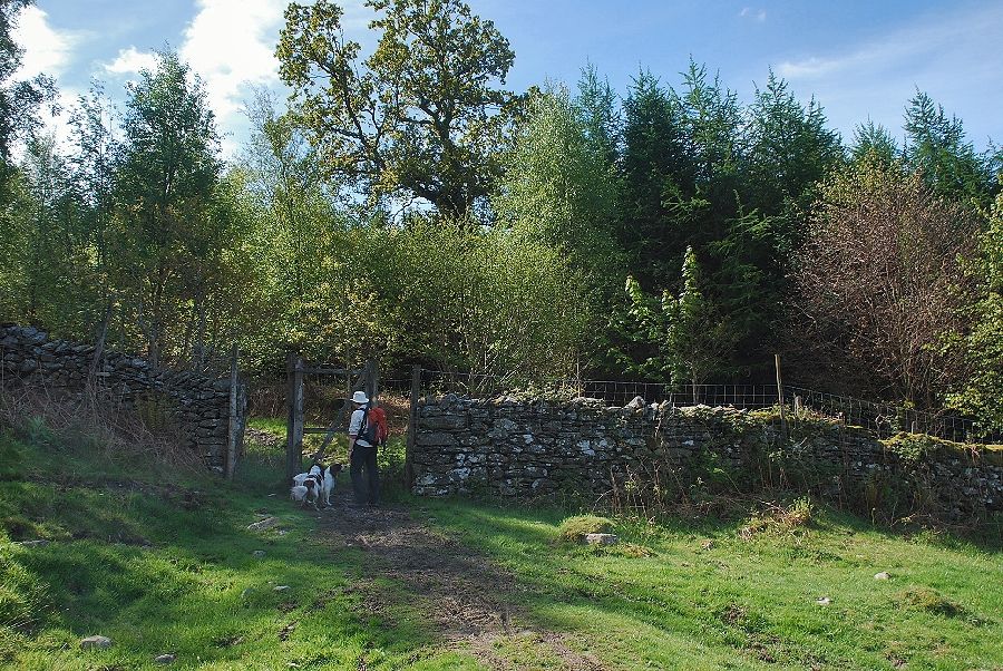
| After following the lane for a quarter of a mile the bridleway passes through a handgate giving access into a large open enclosure |
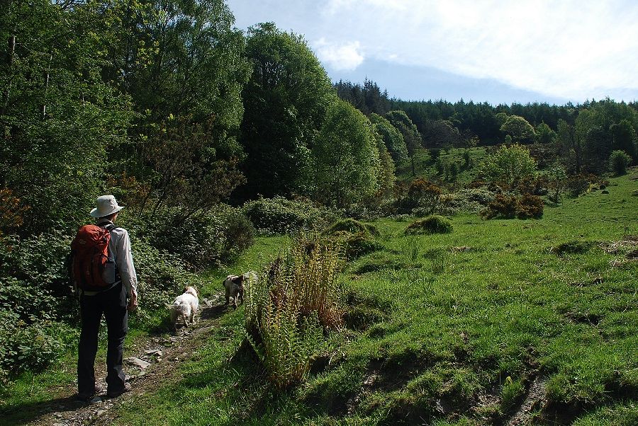 |
| From the gate the bridleway takes a diagonal course across the enclosure, rising towards the extensive Chapel House Plantation |
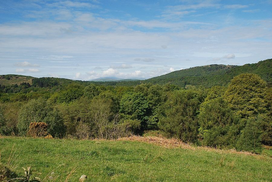 |
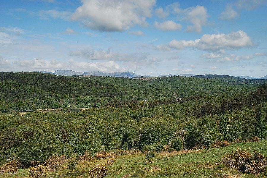
| Looking over from the enclosure towards Black Combe on the distant horizon |
 |
| Approaching the top of the open enclosure |
 |
| Looking back, the Coniston Fells appear on the horizon |
 |
| Helvellyn in the distance above the trees on the lower slopes of Staveley Fell |
 |
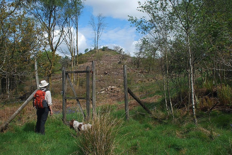
| A deer gate at the top of the enclosure gives access to the Chapel House Plantation |
 |
| Looking back to the Coniston Fells from the deer gate |
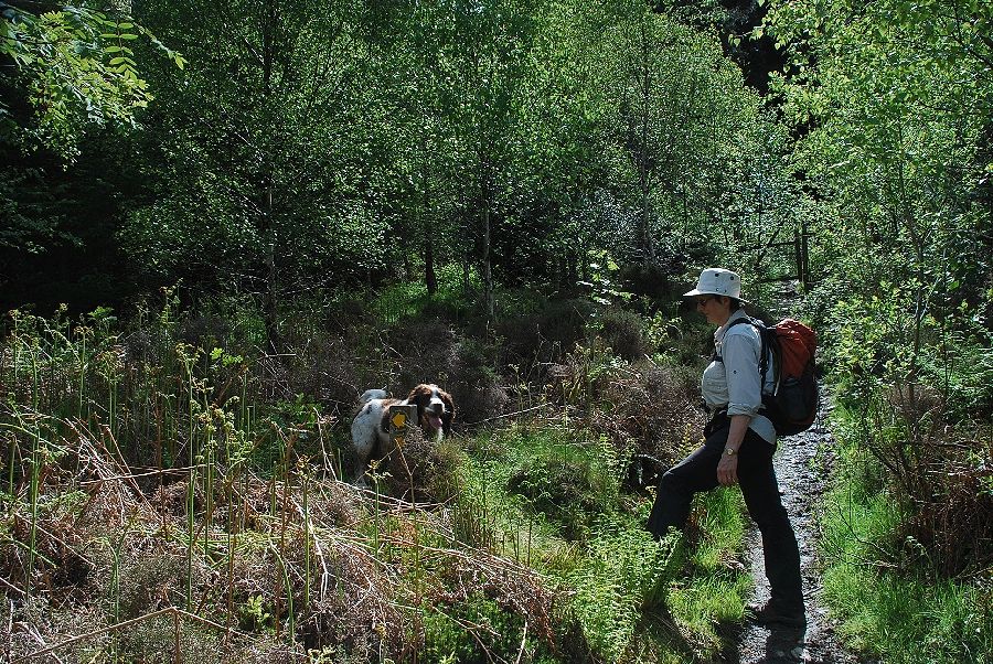 |
| Just before reaching another deer gate a waymarker post indicates the start of a path which leads through an area of young birch trees |
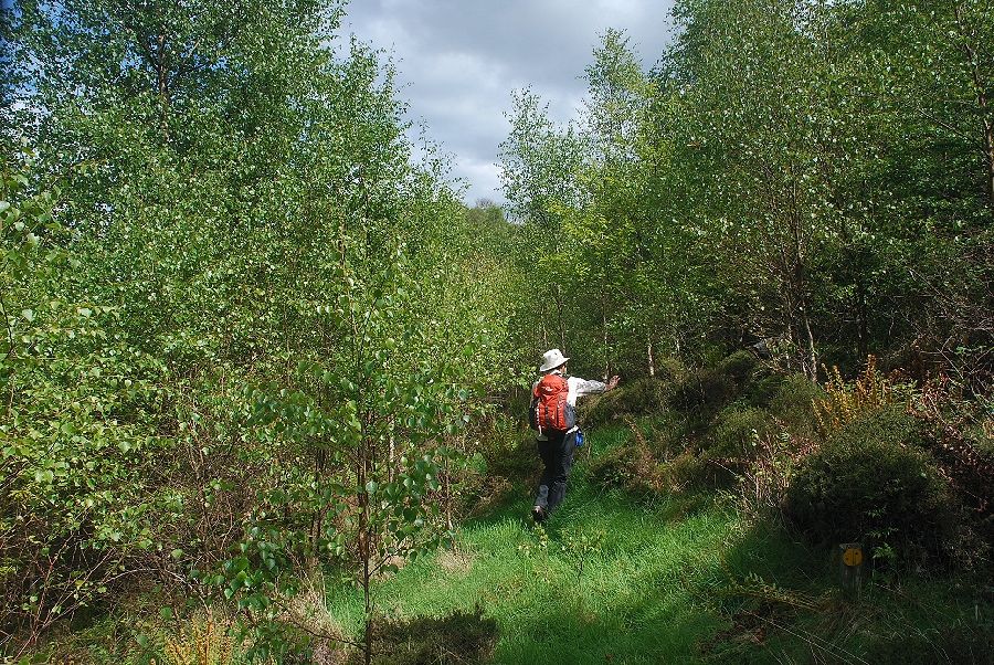 |
| Although the course of the path is indicated by the occasional waymarker post, there is one on the lower right of the photo, it is difficult to follow. It is much easier to continue through the second deer gate and use the forest road beyond it which runs virtually parallel with this path |
 |
| Eventually the path emerges from the birch trees and reaches a gate in the deer fence |
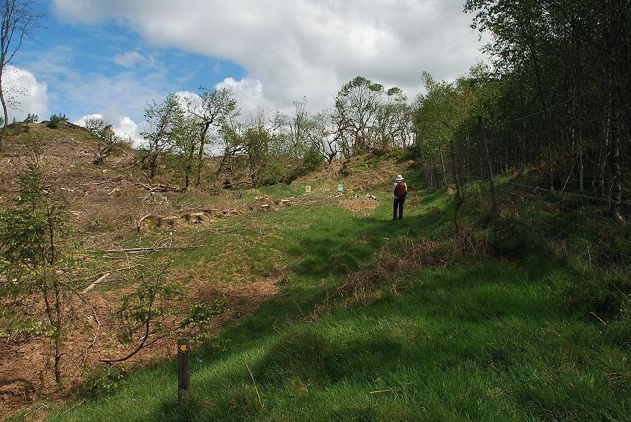 |
| The path then follows the line of the deer fence for a short distance and eventually joins the afore-mentioned forestry road |
 |
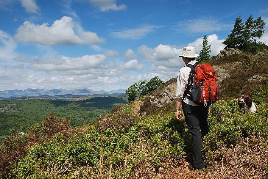
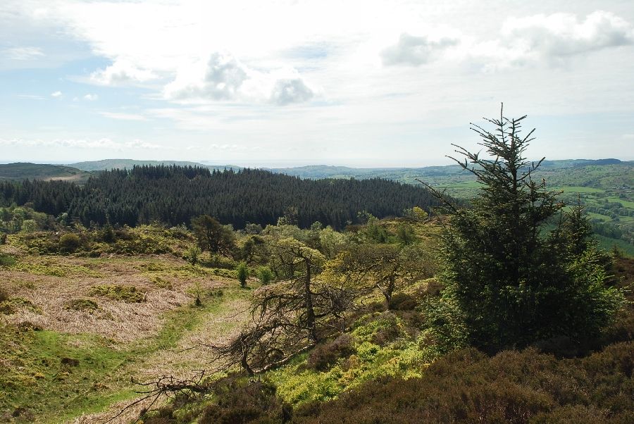
| Leave the path when the deer fence turns right towards the forestry road and climb the south ridge of Swainson |
 |
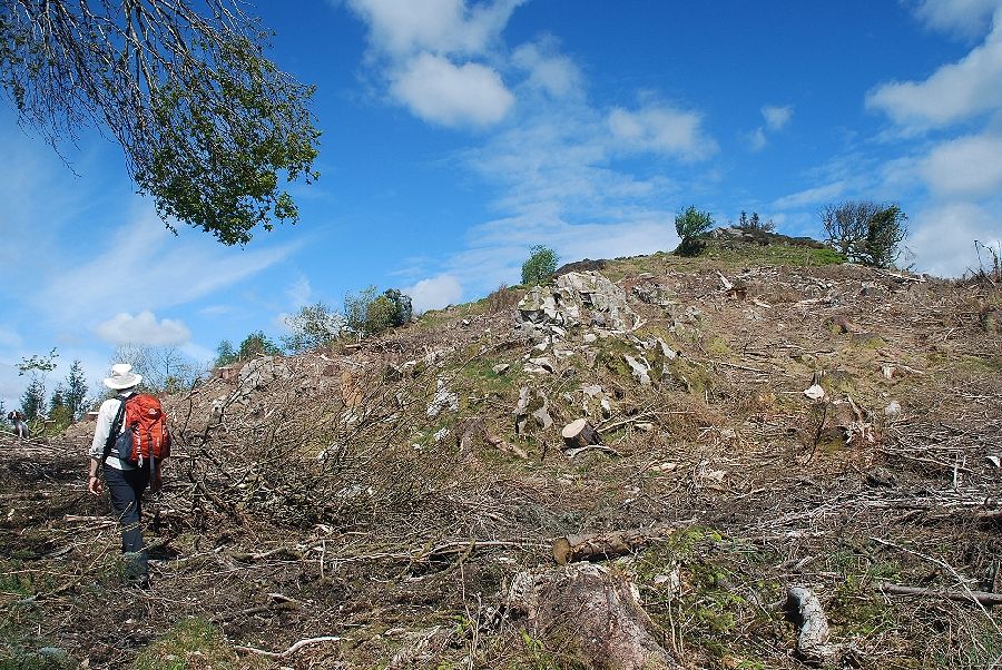
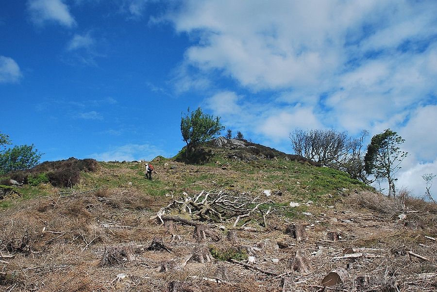
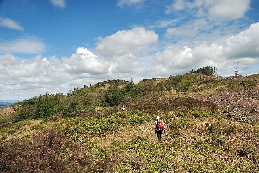
| Looking back from the south ridge of Swainson. Most of the lower slope has been recently cleared of trees |
 |
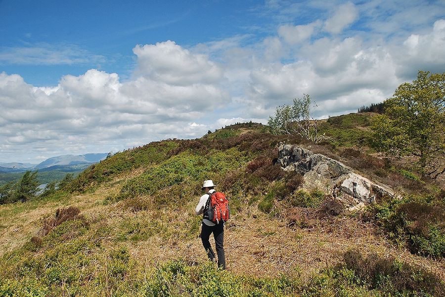
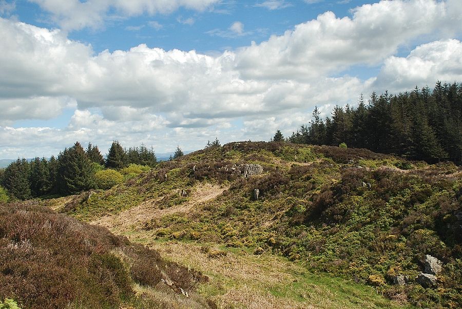
| Approaching the south top of Swainson |
 |
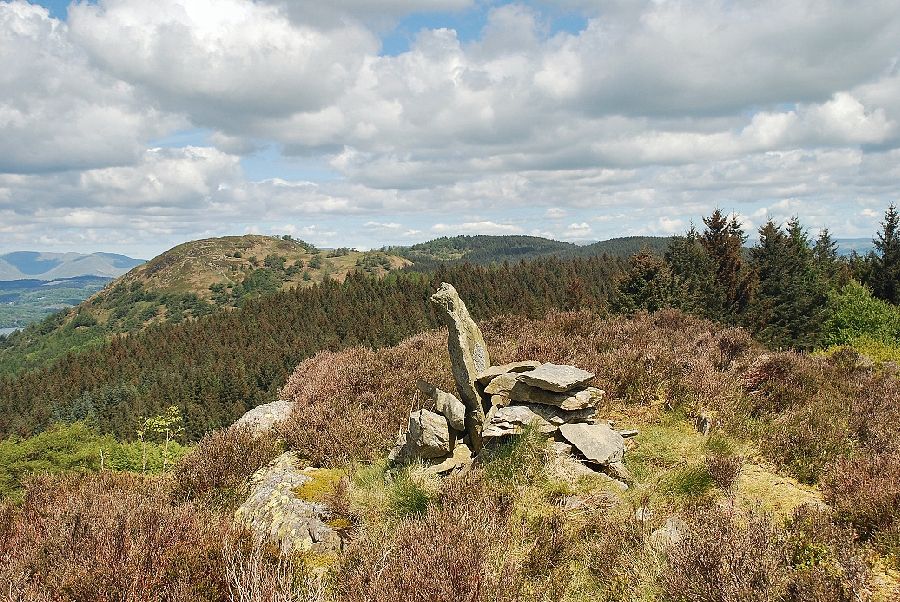
| The Coniston Fells from the south top of Swainson |
 |
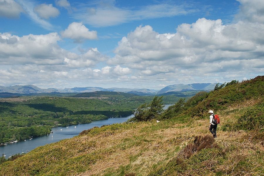
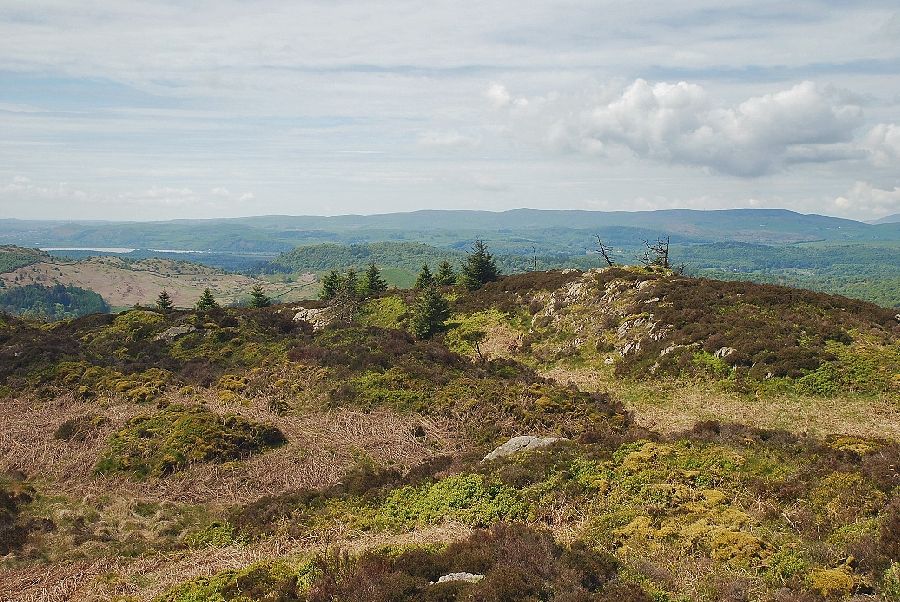
| The River Leven from the south top of Swainson |
 |
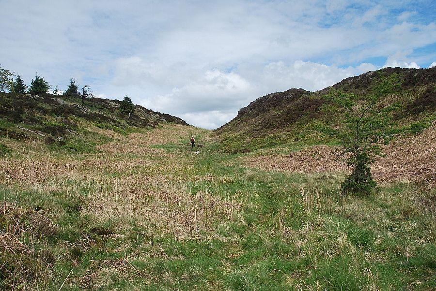
| There is no path along the undulating top of Swainson, and as AW noted, "there are obstacles to progress in the form of dense bracken and rough deep heather (handicaps even in winter), so that unless you can bend your legs in all directions not excluding the ridiculous, and without warning, Staveley Fell is, alas, not for you" |
 |
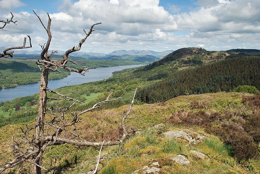
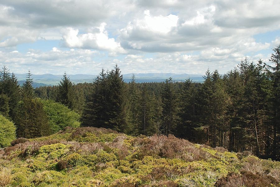
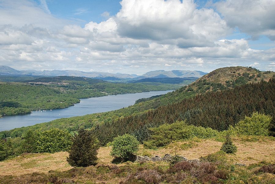
| Windermere from Swainson with Wetherlam, the Langdale Pikes and the Fairfield Horseshoe prominent on the horizon |
 |
| The twin summits of Staveley Fell come into view, the highest point on the right with the slightly lower west top on the left |
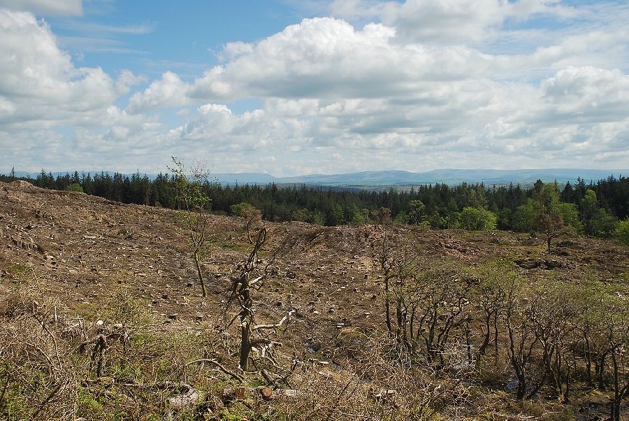 |
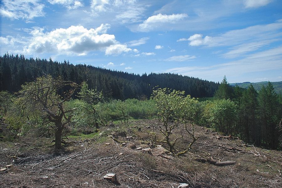
| Most of the eastern slope of Swainson has been cleared of trees |
 |
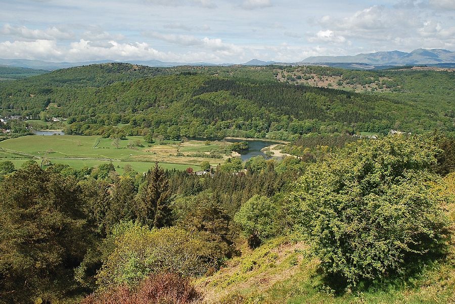
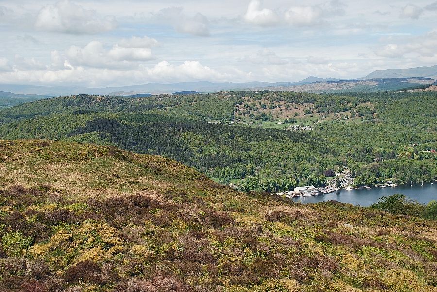
| Looking down on Newby Bridge and the River Leven |
 |
| Approaching the col between the west top and main summit of Staveley Fell |
 |
| Windermere from the west top of Staveley Fell |
 |
| The Coniston Fells from the west top of Staveley Fell |
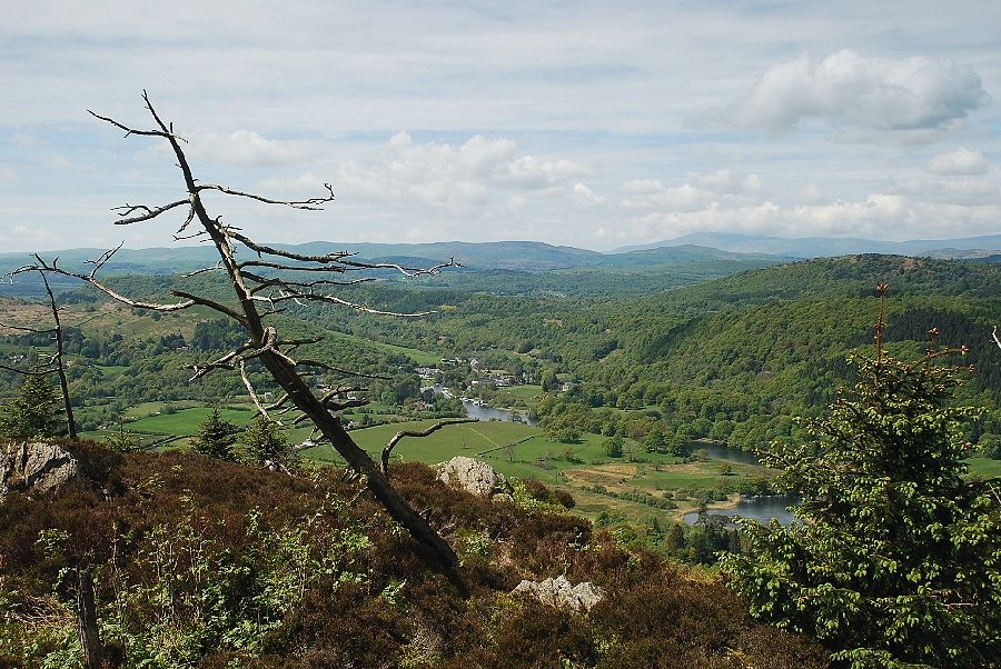 |
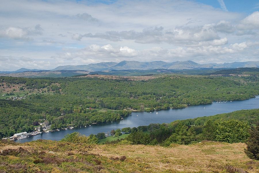
| The River Leven and Newby Bridge from the west top of Staveley Fell |
 |
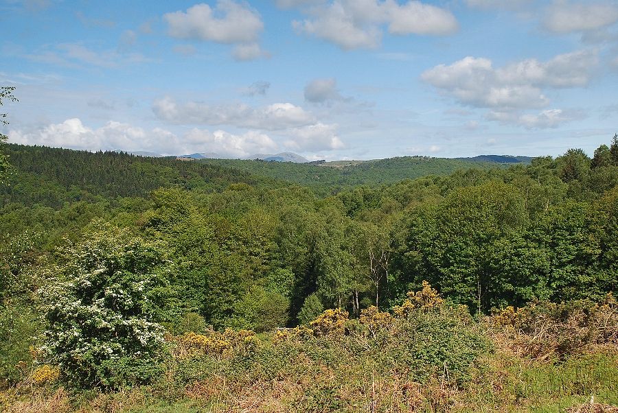
| Looking back to Chapel House Plantation and the route of ascent over Swainson |
 |
| The summit of Staveley Fell from the west top |
 |
| The summit cairn on Staveley Fell |
 |
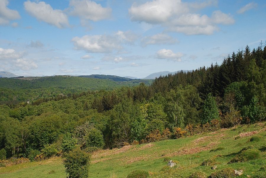
| The Howgills over the Chapel House Plantation |
 |
| The west top from the summit of Staveley Fell |
 |
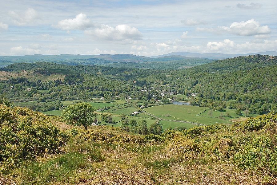
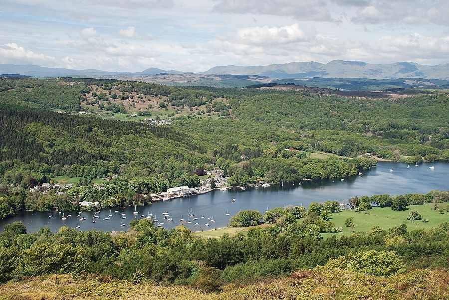
| Looking down onto Lakeside from the summit of Staveley Fell |
 |
| The Coniston Fells with the Langdale Pikes on the right |
 |
| Windermere and Gummer's How from the summit of Staveley Fell |
