 |
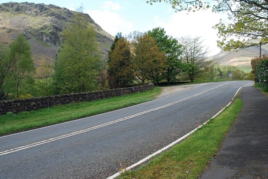
| Mill Bridge on the busy A591 is the start of the walk. There is lay-by parking to the north and south of the bridge, police signs prohibit parking by the junction of the lane to Low Mill Bridge. Walk down the lane to Low Mill Bridge and turn right towards Ghyll Foot Farm and Steel Fell |
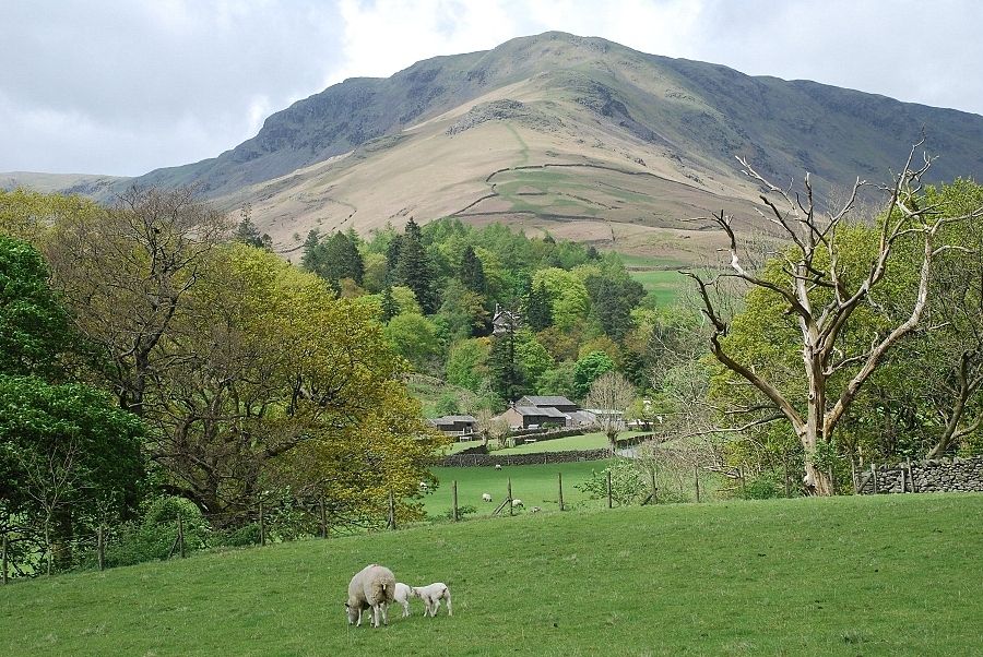 |
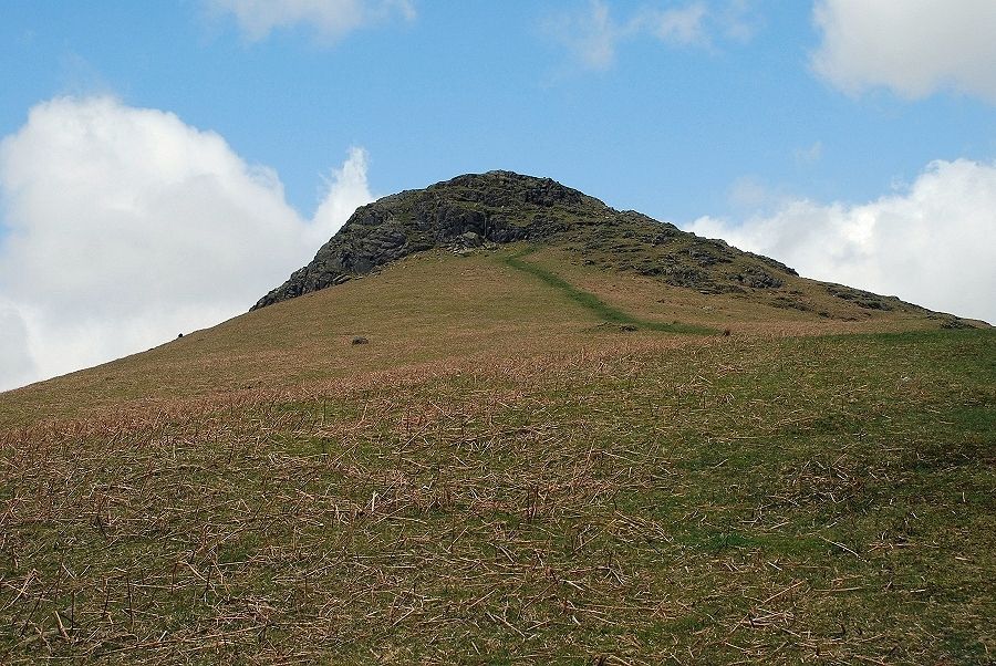
| Steel Fell seen from the lane leading to Low Mill Bridge |
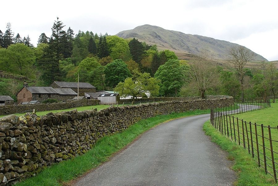 |
| Walking towards Ghyll Foot Farm with the south-east ridge of Steel Fell directly ahead |
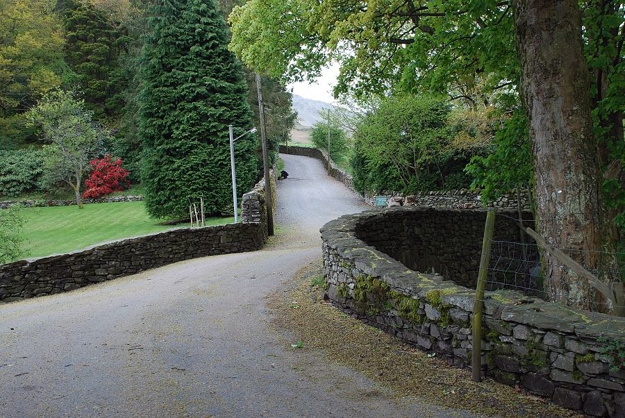 |
| Beyond Ghyll Foot, where the lane turns towards the A591, a private driveway heads up past Helmside to the Turn Howe cottages |
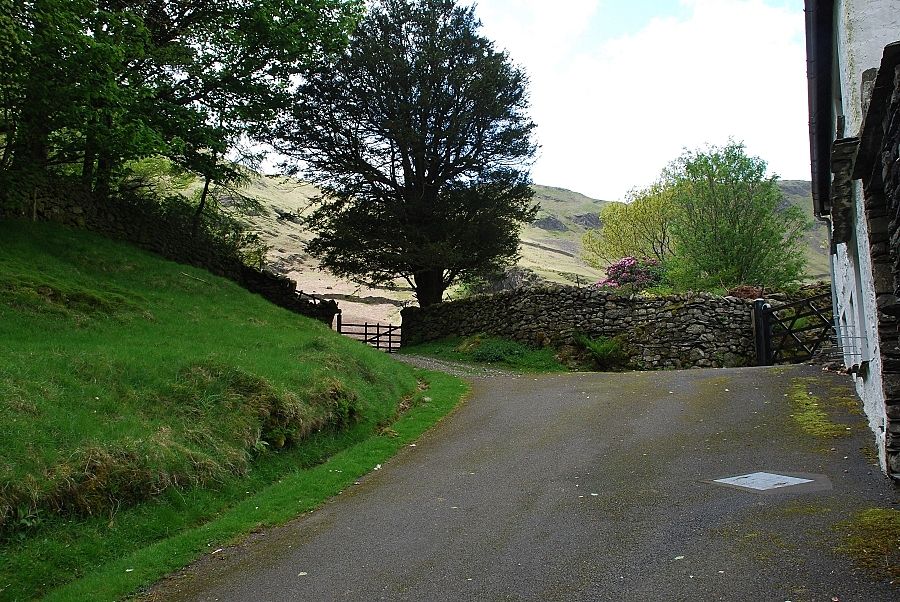 |
| Past the last cottage a gate leads on into Greenburn Dale giving access to the fell |
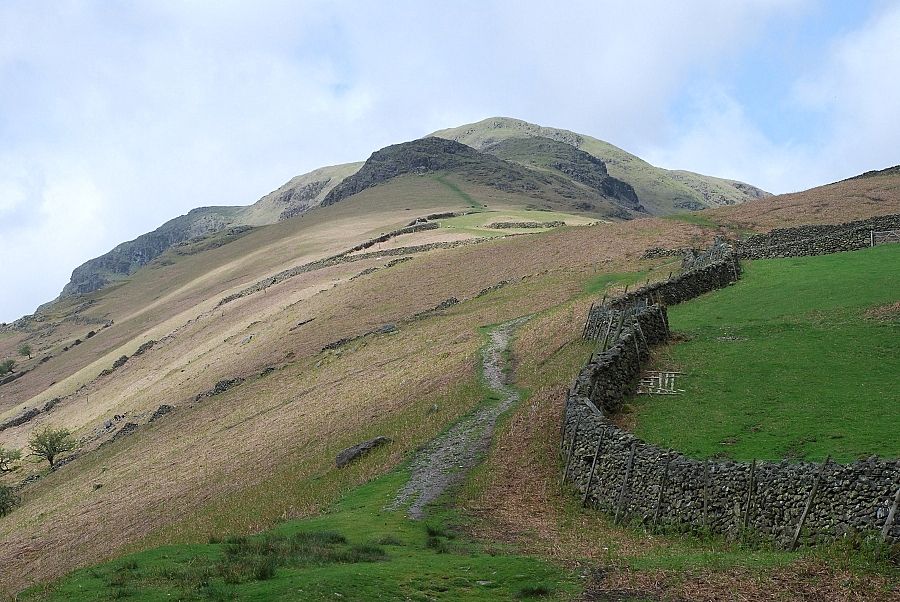 |
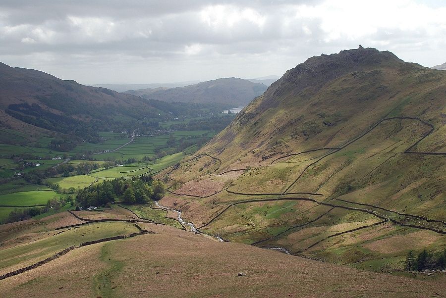
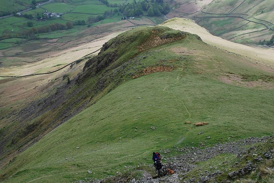
| The south-east ridge of Steel Fell from the gate. The ridge has three very distinct rocky steps which add interest to its ascent |
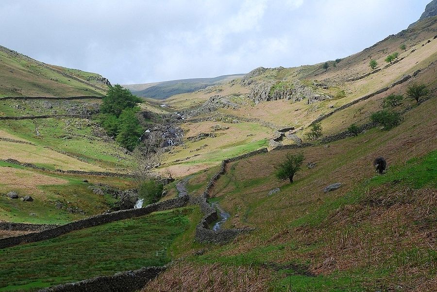 |
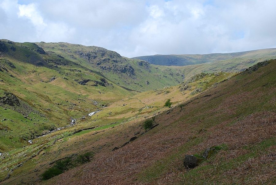
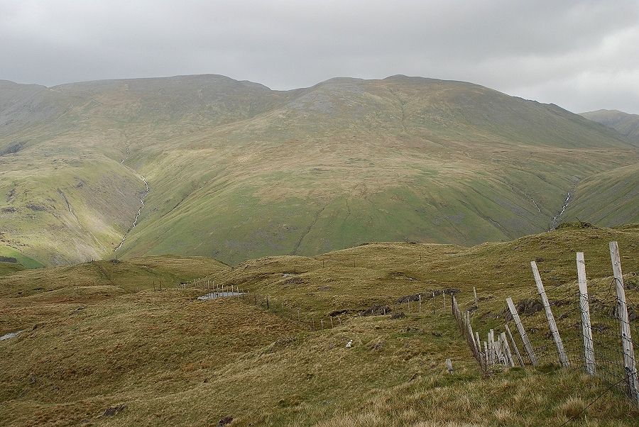
| Greenburn Dale from the gate above Turn Howe |
 |
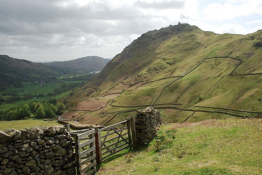
| Looking back down the path as it passes through the second of four enclosures. Helm Crag on the right across Greenburn |
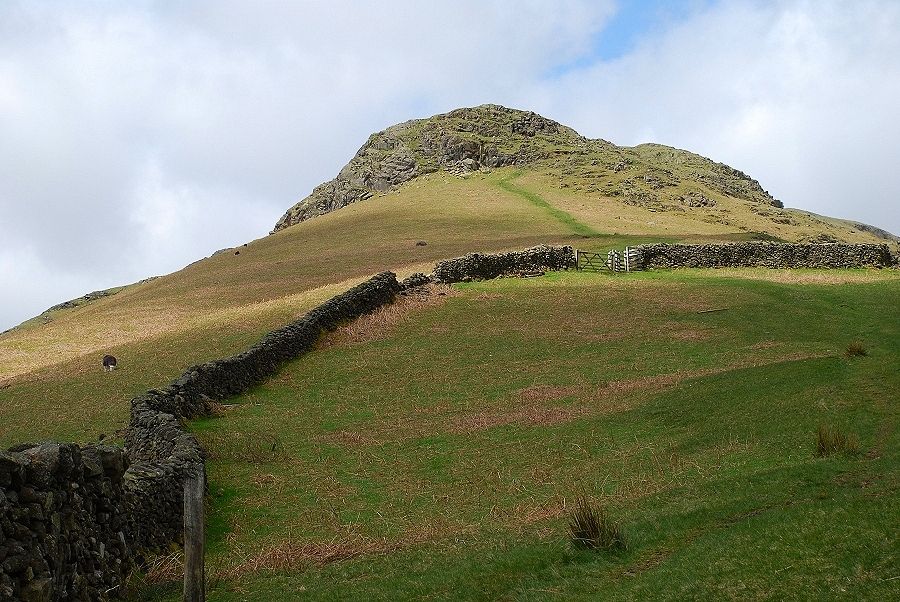 |
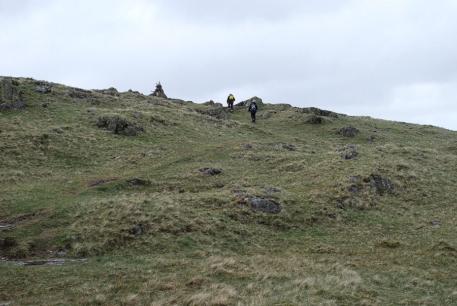
| Nearing the gate at the top of the last enclosure, the path heads towards the first rock step which it turns on the right |
 |
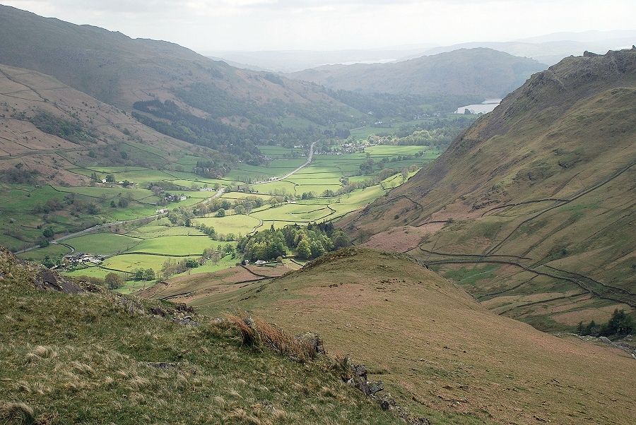
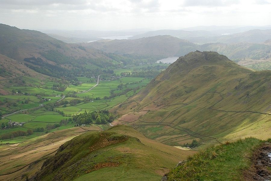
| Helm Crag and Grasmere from the enclosure gate |
 |
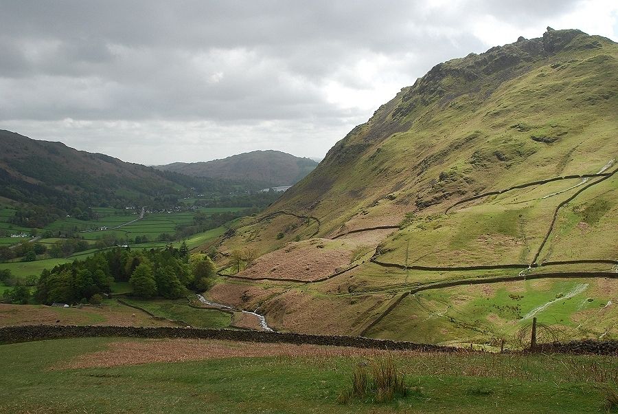
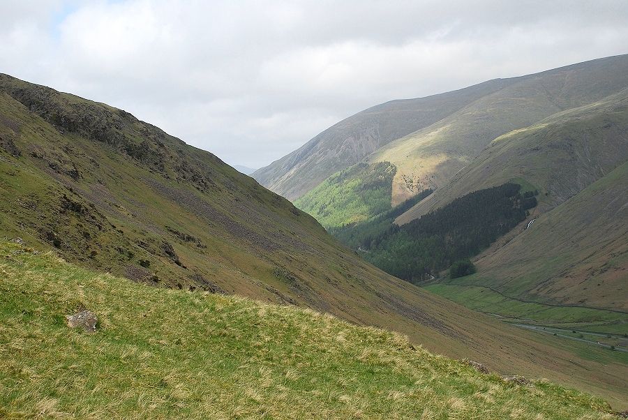
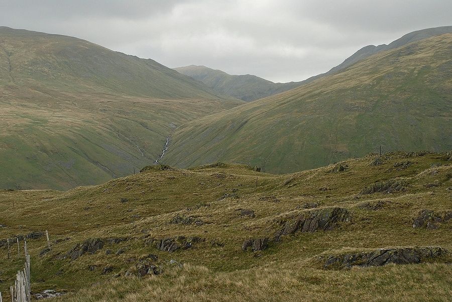
| Upper Greenburn Dale from the south east ridge |
 |
| Looking up to the first rock step. The path can be seen veering to the right as it meets a steep band of rock |
 |
| Looking back to the Vale of Grasmere from below the first rock step |
 |
| Dunmail Raise and the slopes of Helvellyn from the top of the first rock step |
 |
| The retrospective view on this ascent provides an excuse for frequent stops to admire it - this from the top of the first rock step |
 |
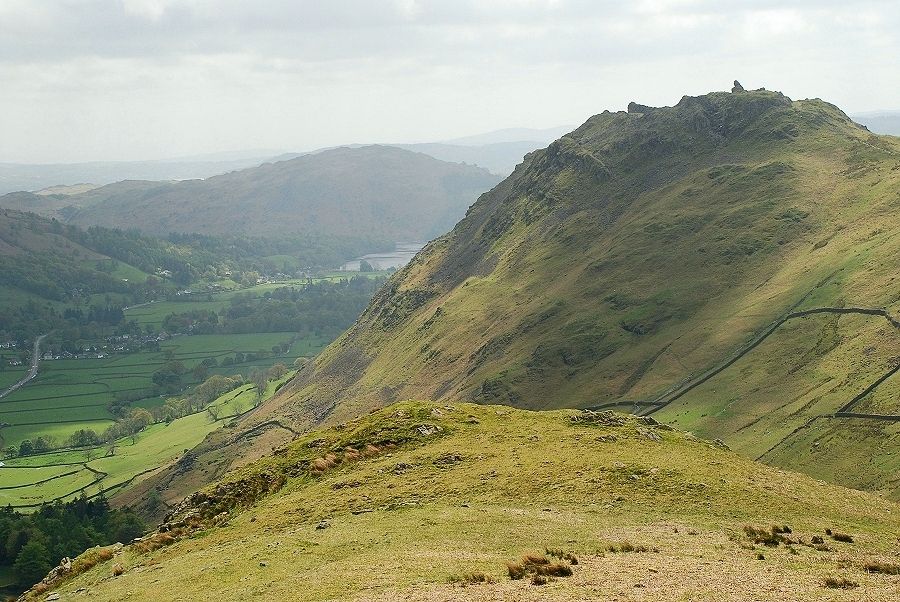
| The upper part of the south-east ridge from the top of the second rock step Steel Fell - page 10 |
 |
| Looking back from the second rock step. More of Windermere is now visible above Loughrigg Fell |
 |
| Two views looking left while climbing the third rock step. This one over the ridges of Gibson Knott and Tarn Crag to the Langdale Pikes |
 |
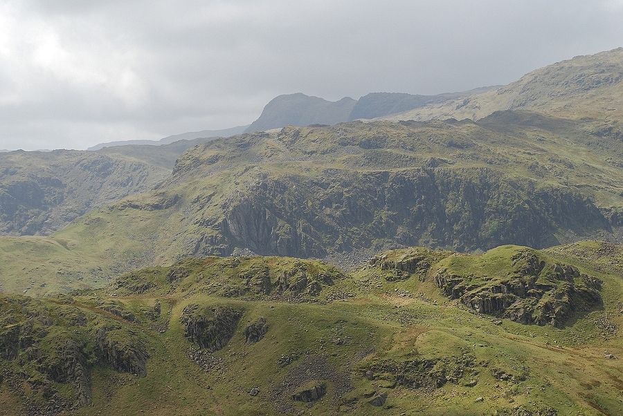
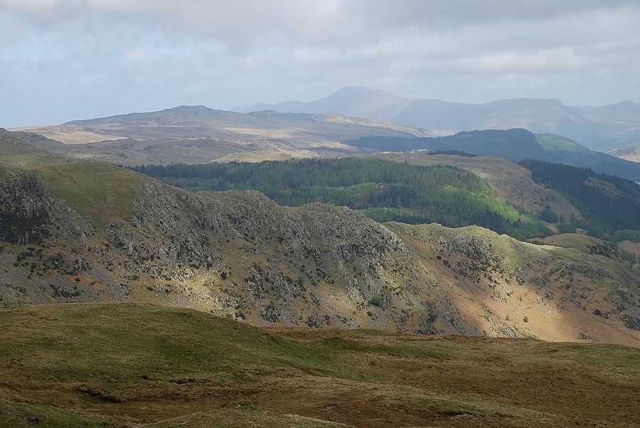
| The Coniston Fells over the ridge leading to Blea Rigg |
 |
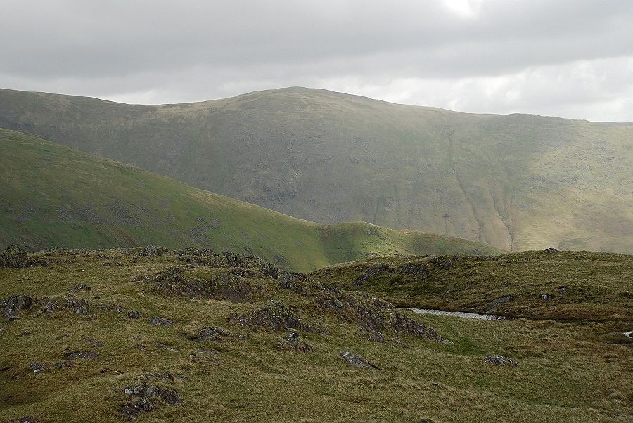
| Looking down to the tops of the second and first rock steps |
 |
| The view from the top of the third step. The angle of the slope now eases on the final approach to the summit ridge |
 |
| A cairn soon comes into view, this one lies about 200ft to the east of the summit |
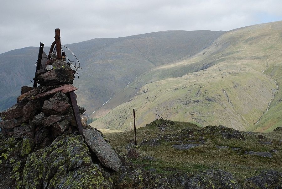 |
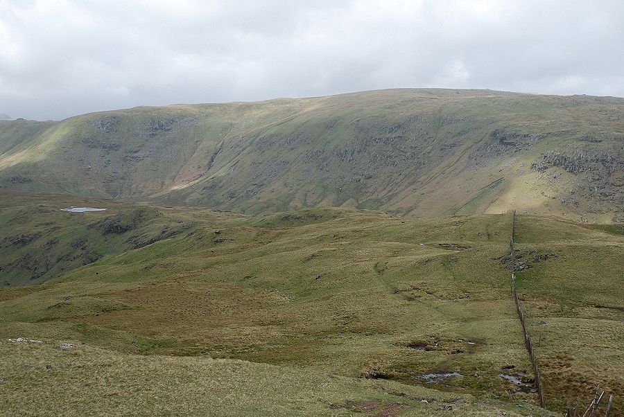
| Helvellyn from the east cairn, the redundant fence posts mark the old boundary line between the former counties of Cumberland and Westmorland |
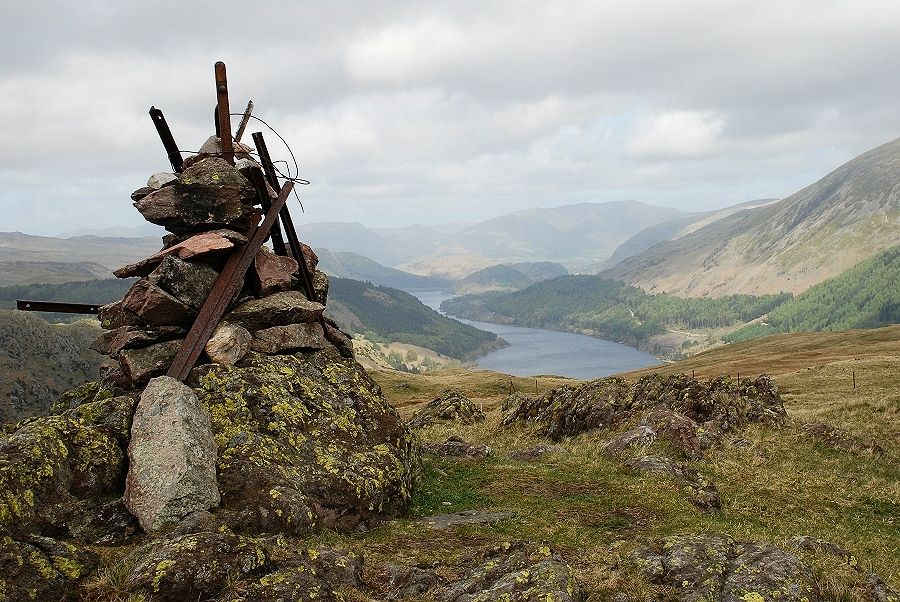 |
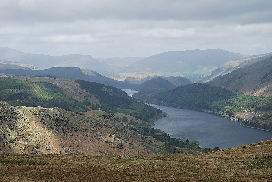
| Thirlmere from the east cairn |
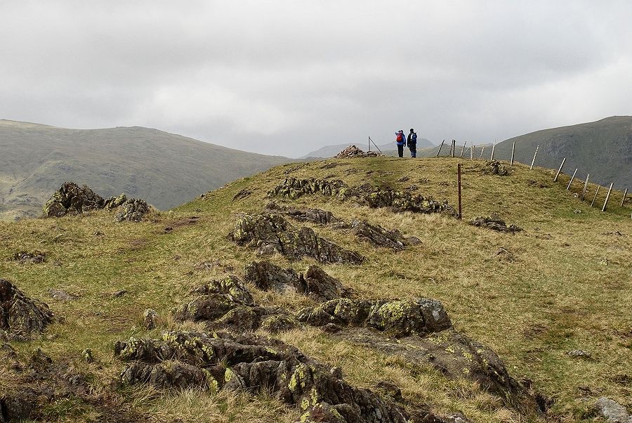 |
| The summit of Steel Fell from the east cairn |
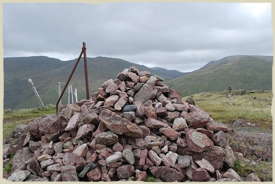 |
| The summit cairn which has grown considerably larger since AW made his sketch. The actual top of the fell is called Dead Pike Steel Fell -page 7 |
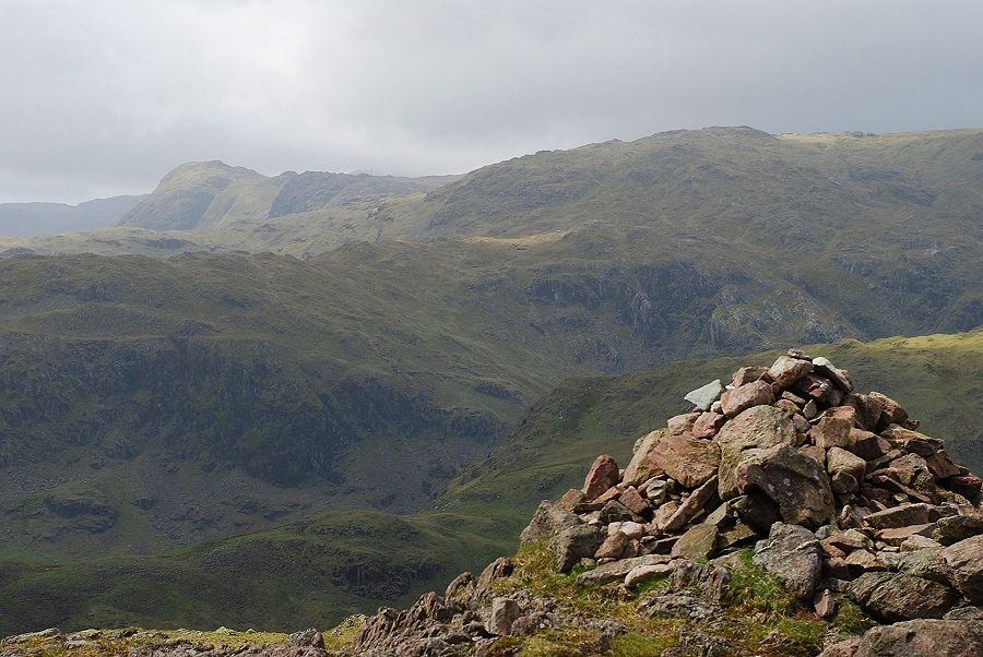 |
| Looking south west to the Langdale Pikes on the left horizon with Sergeant Man on the right. Pike of Carrs and the ridge leading to Calf Crag lie below the cairn |
 |
| On the left skyline, High Raise and Low White Stones. A sunlit Glaramara appears over the col of Greenup Edge. In the middle foreground is Calf Crag and the connecting ridge to Steel Fell curving around the head of Greenburn |
 |
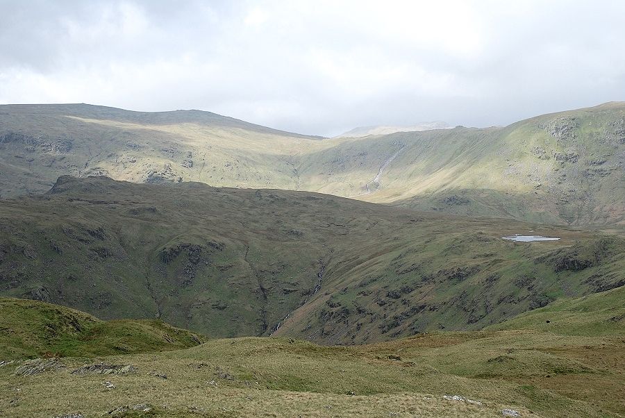
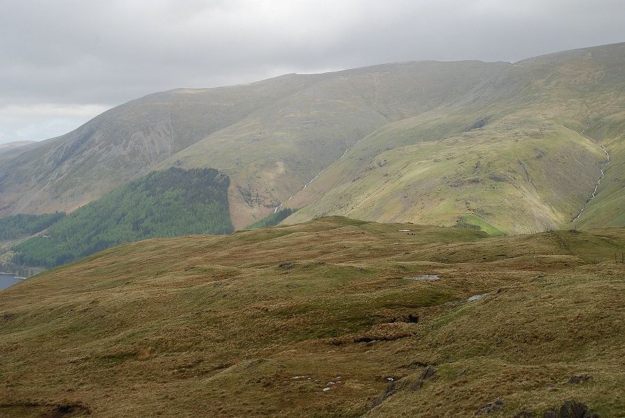
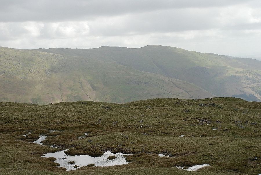
| Ullscarf over the Steel Fell - Calf Crag ridge. The deep and very boggy valley of Wythburn Dale lies unseen between them |
 |
| Looking to Skiddaw on the horizon, Lonscale Fell and Great Calva to the right |
 |
| To the north there is a view to Thirlmere and Blencathra |
 |
| Further to the east, Helvellyn |
 |
| To the north east are Nethermost Pike and Dollywaggon Pike |
 |
| St. Sunday Crag over the valley of Raise Beck with Cofa Pike and Fairfield appearing over the slopes of Seat Sandal |
 |
| Great Rigg, part of the western arm of the popular Fairfield Horseshoe |
 |
| Heron Pike behind the shadowed summit of Stone Arthur |
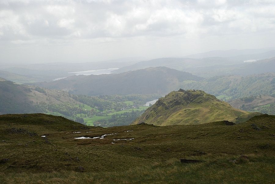 |
| Three lakes are visible to the south. Part of Windermere can be seen over Loughrigg Fell, most of Grasmere is hidden by Helm Crag and Esthwaite Water on the right. |
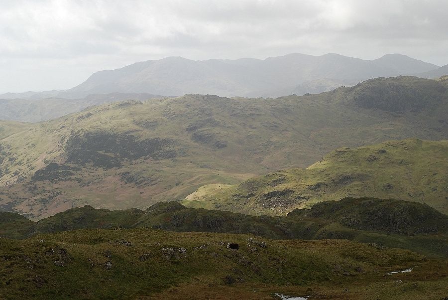 |
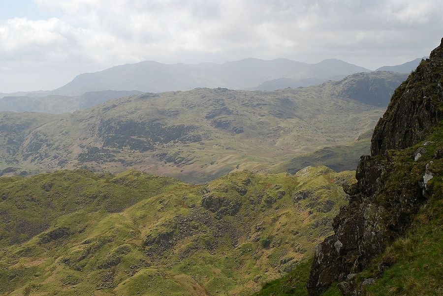
| The view over four ridges to the Coniston Fells, Gibson Knott, Tarn Crag, Castle How and Lingmoor Fell. |
