
|
Stickle Pike - Route One
|
| Start - Stonestar SD 200 916 | Distance - 2.6 miles | Ascent - 1,460 feet | Time - 1 hour : 45 minutes |
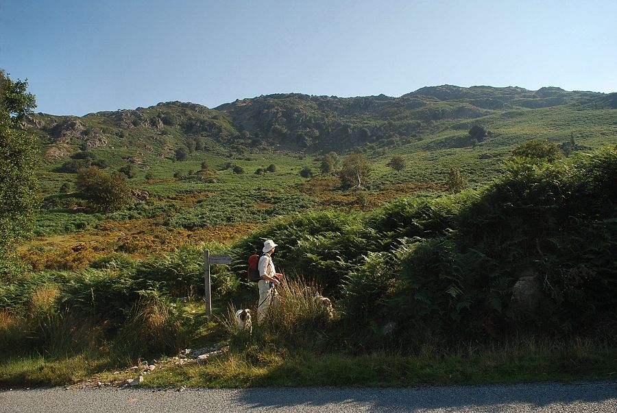 |
| The walk starts from the Duddon Bridge ~ Ulpha road where, a quarter of mile to the north of Stonestar Farm, a finger-post sign indicates the start of a bridleway path which leads over the ridge to Broughton Mills in the Lickle Valley. There are a several small parking places close to the sign |
 |
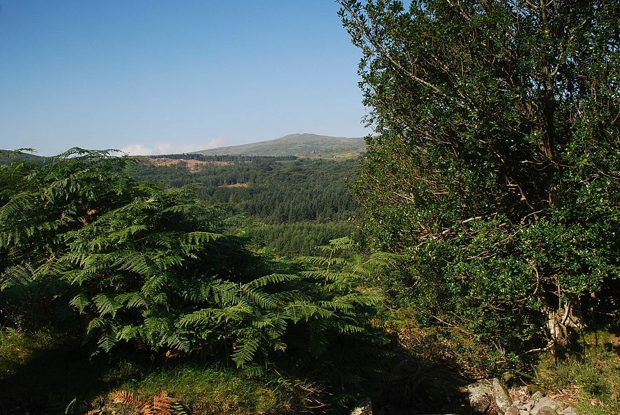
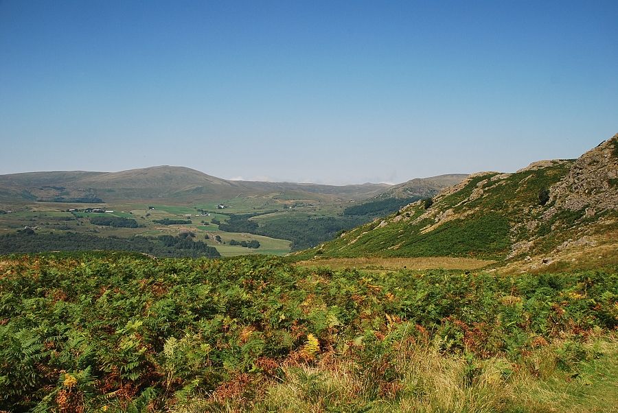
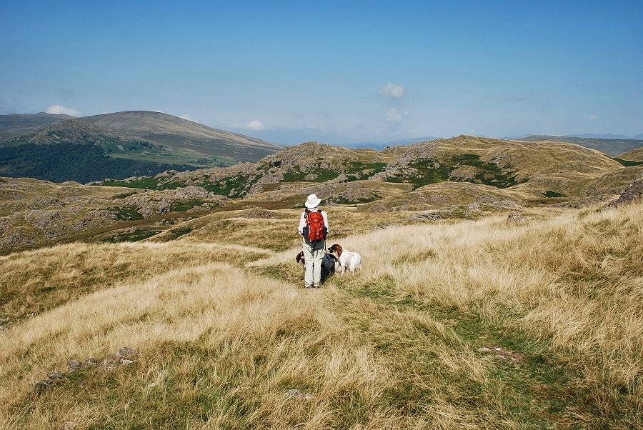
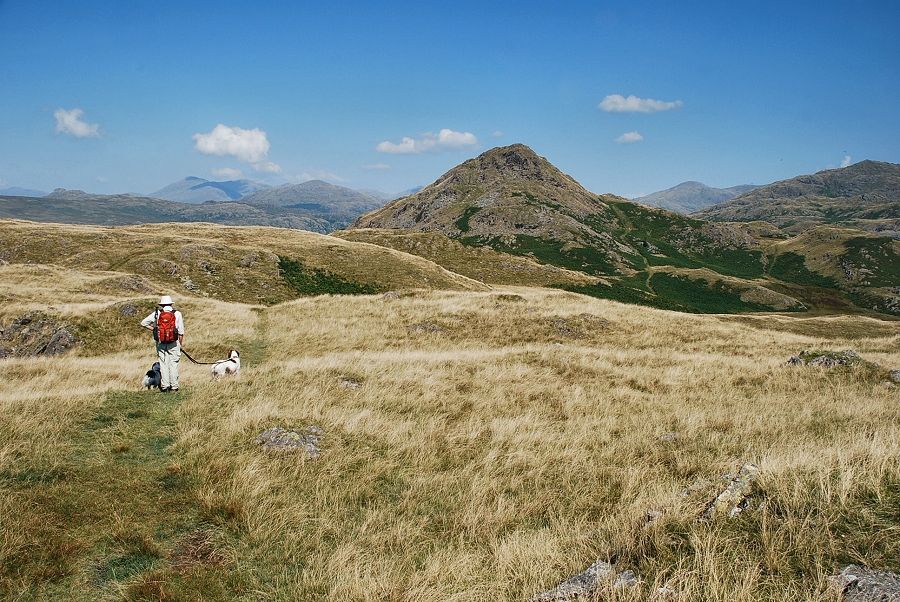
| On the Duddon Valley to Lickle Valley bridleway |
 |
| Looking back across the valley to The Pike |
 |
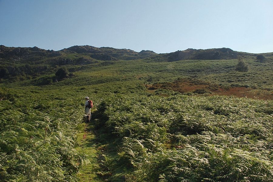
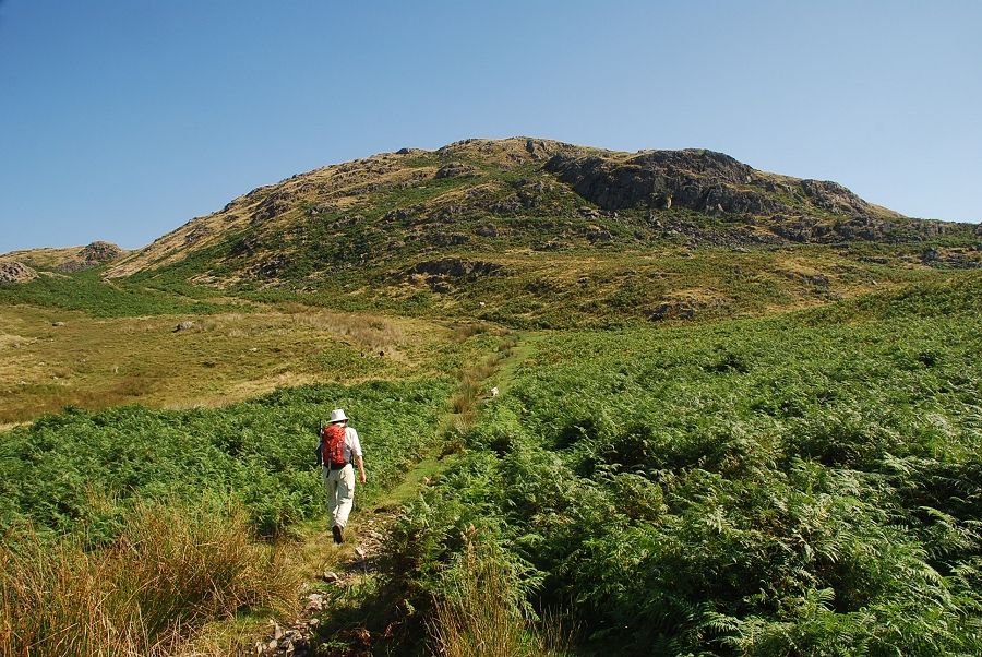
| The bridleway rises quite gently below the rocky outcrops of Black Stones |
 |
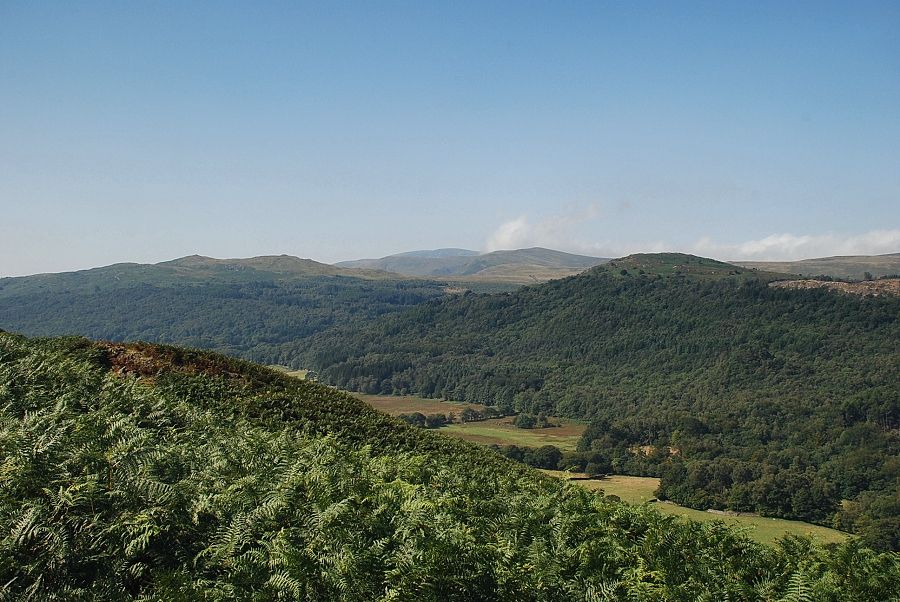
| Looking over the valley towards Buck Barrow |
 |
| Looking across the lower Duddon Valley towards Black Combe |
 |
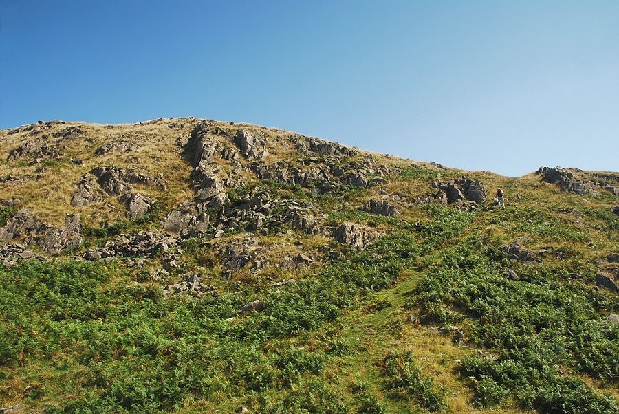
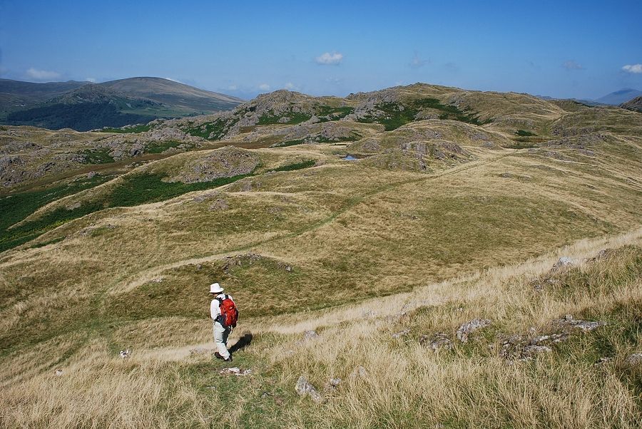
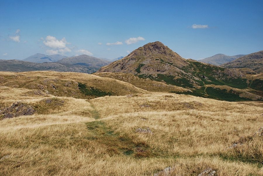
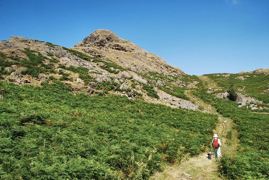
| The bridleway leads up towards the western crags of Little Stickle and continues on to reach the ridge line on the right |
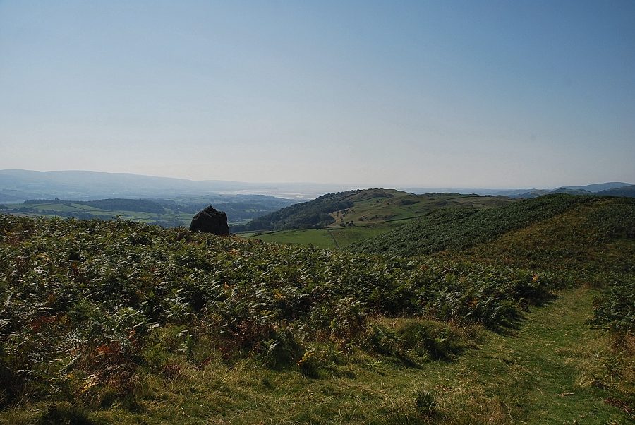 |
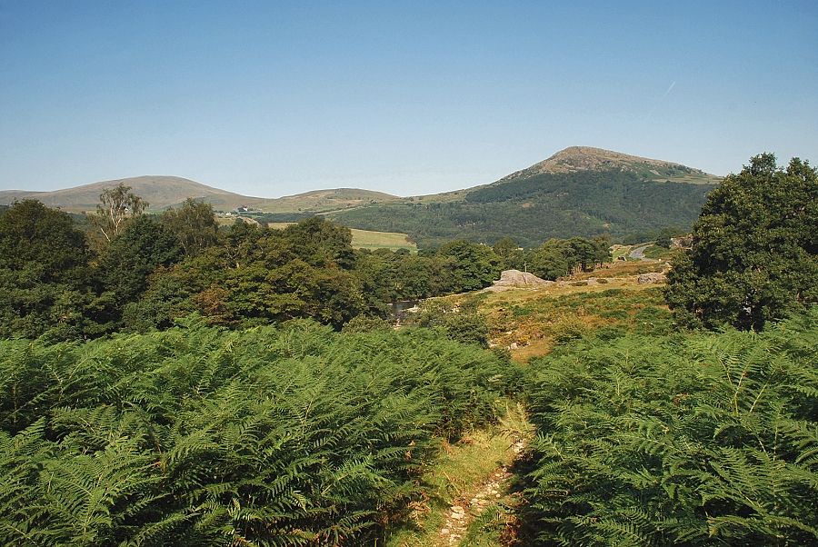
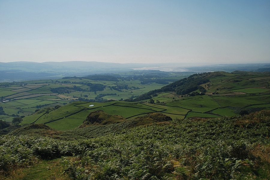
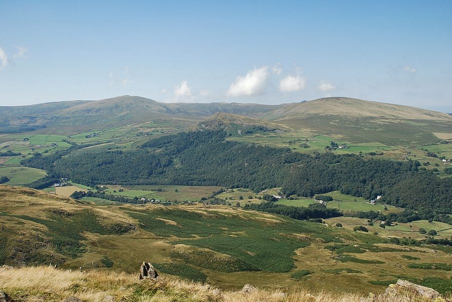
| Looking south along the Haw Hill ridge to the Duddon Estuary |
 |
| Looking north west to Whit Fell and the Ulpha Fells |
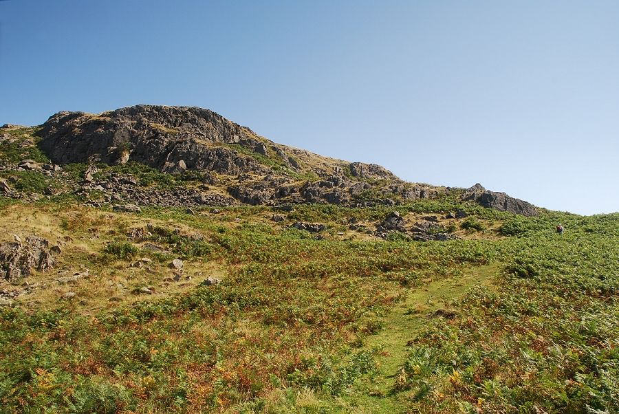 |
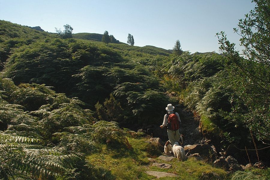
| Passing below the western crags of Little Stickle |
 |
| Looking back to Tarn Hill |
 |
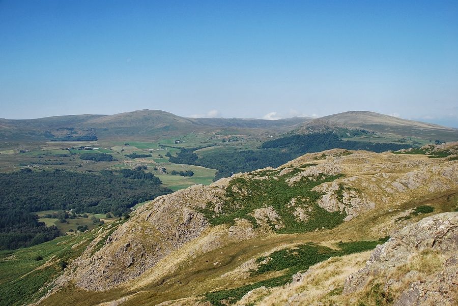
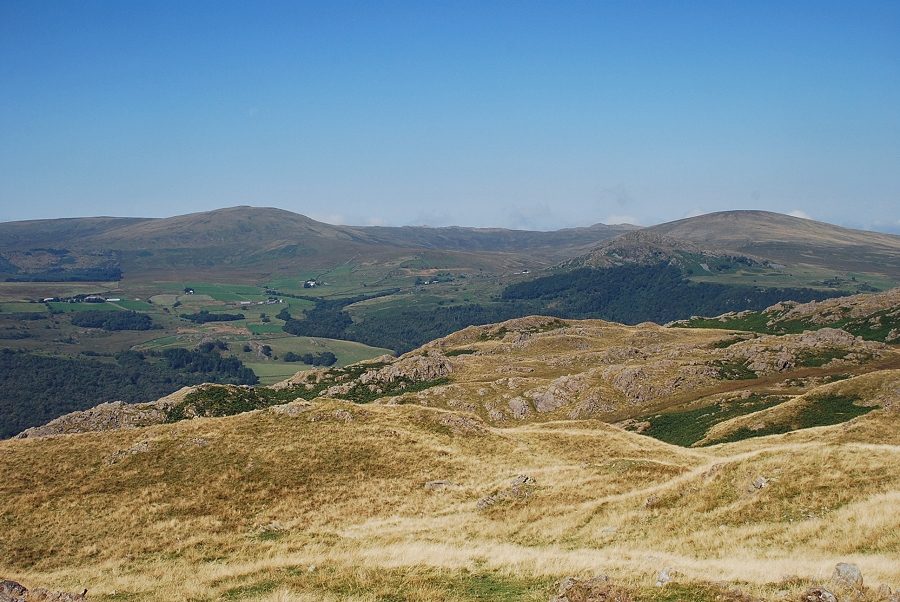
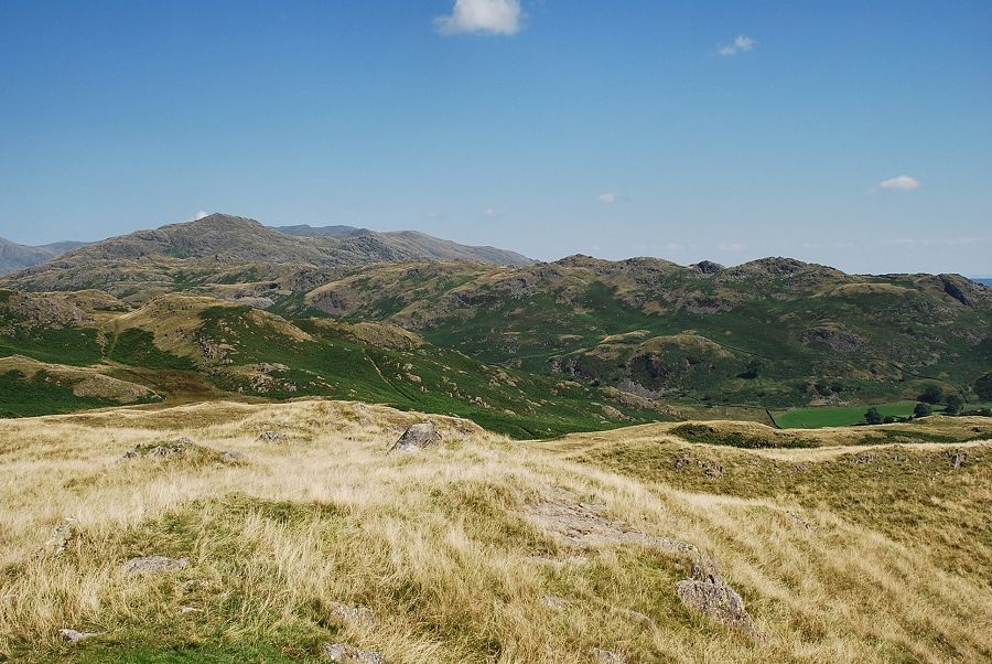
| Looking towards the Ulpha Fells of Yoadcastle, Woodend Height and Hesk Fell |
 |
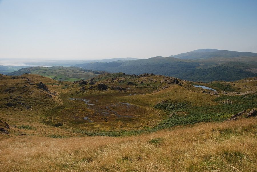
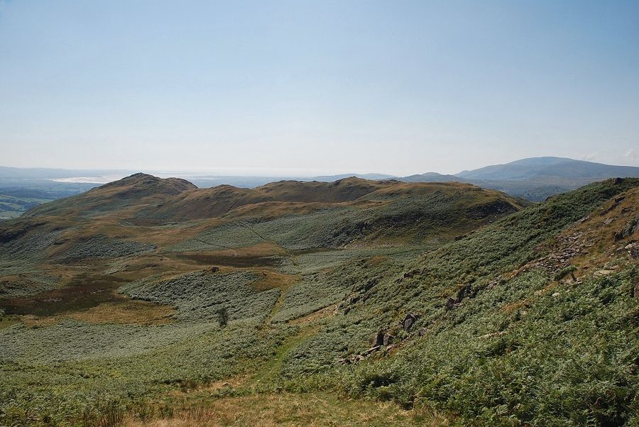
| Looking over Hovel Knott towards the Duddon Estuary |
 |
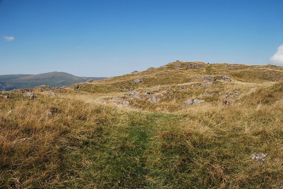
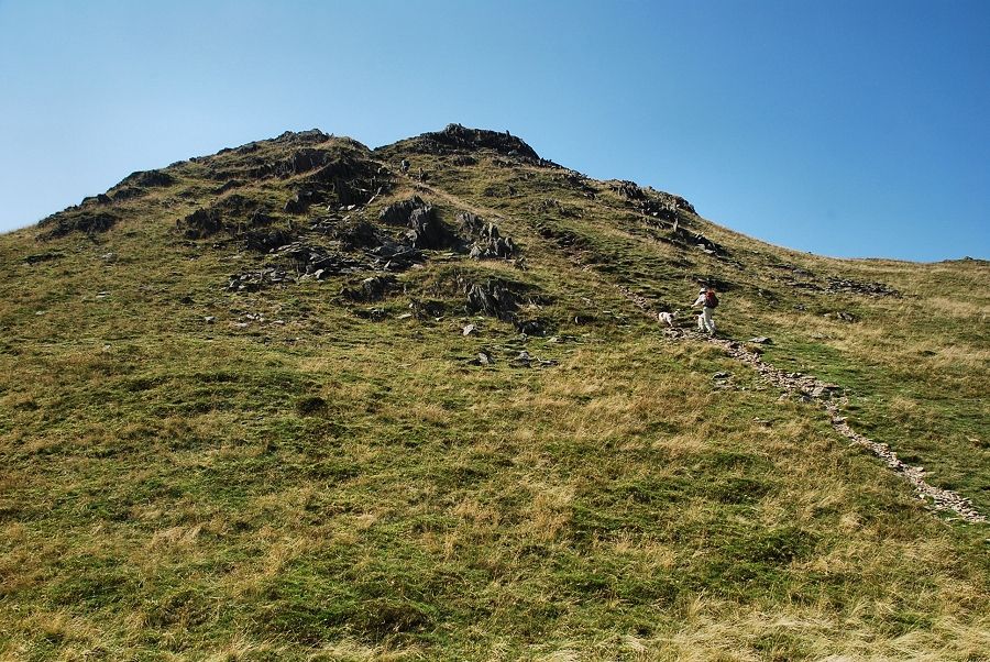
| Approaching the summit of Little Stickle |
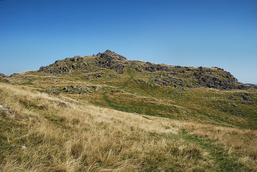 |
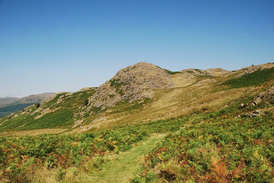
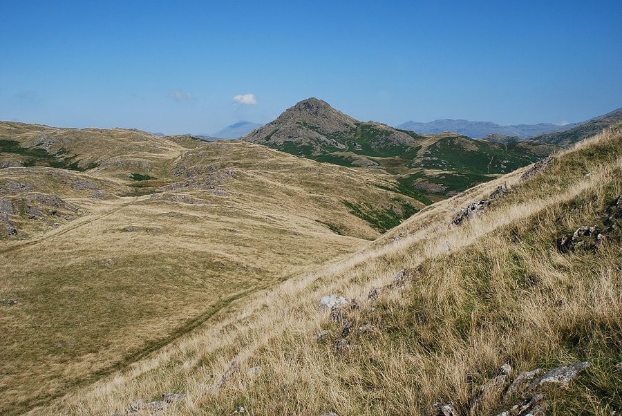
| The summit of Great Stickle comes into view |
 |
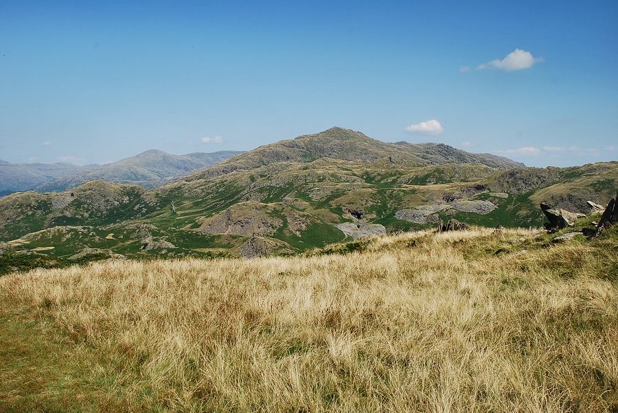
| Stickle Pike from the summit of Little Stickle |
 |
| The Ulpha Fells from the summit of Little Stickle |
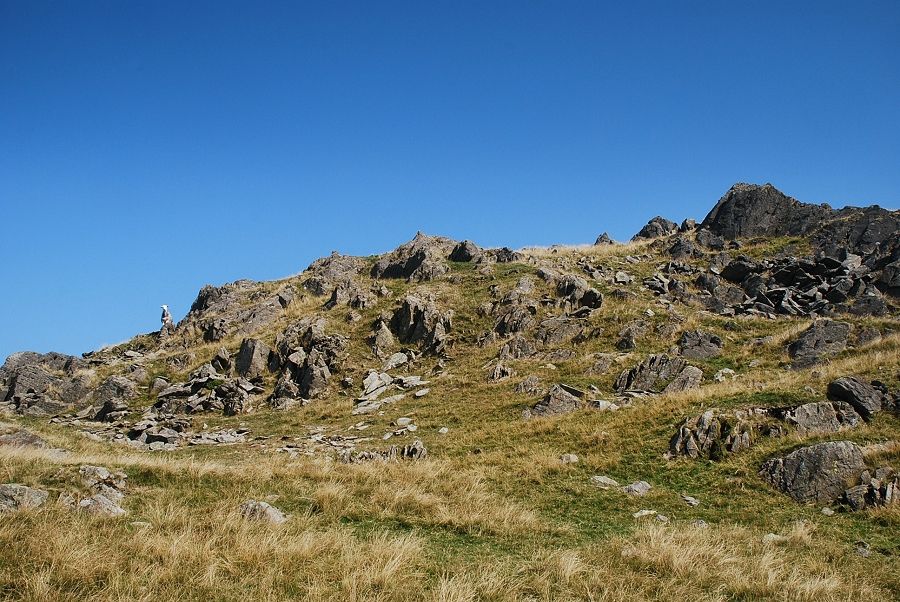 |
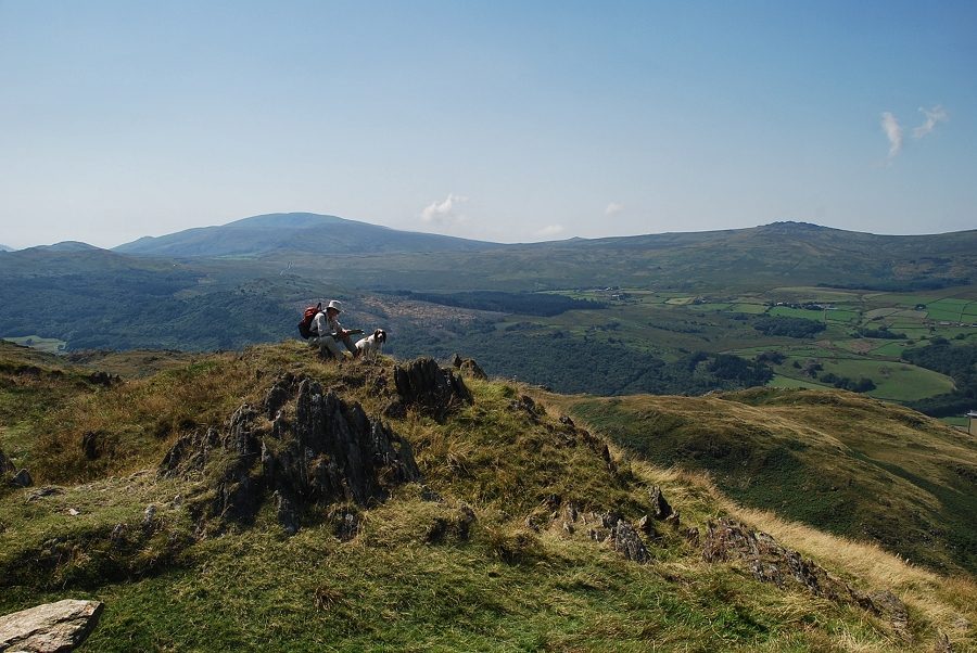
| Approaching the summit of Great Stickle |
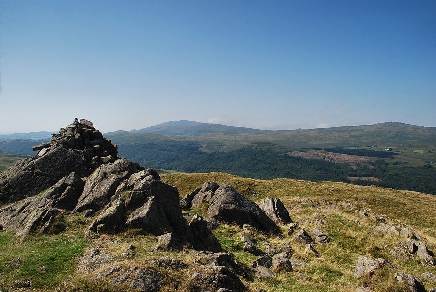 |
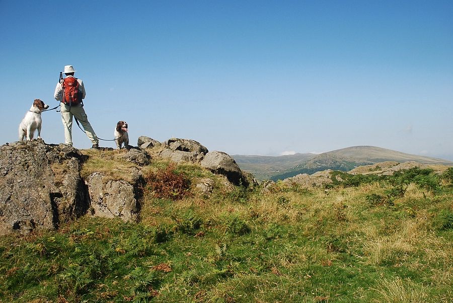
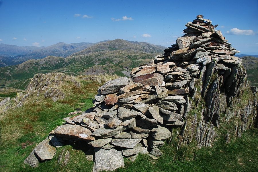
| The summit cairn on Great Stickle looking towards Black Combe and Buck Barrow |
 |
| Whit Fell, Yoadcastle, Woodend Height, the Pike and Hesk Fell from the summit of Great Stickle |
 |
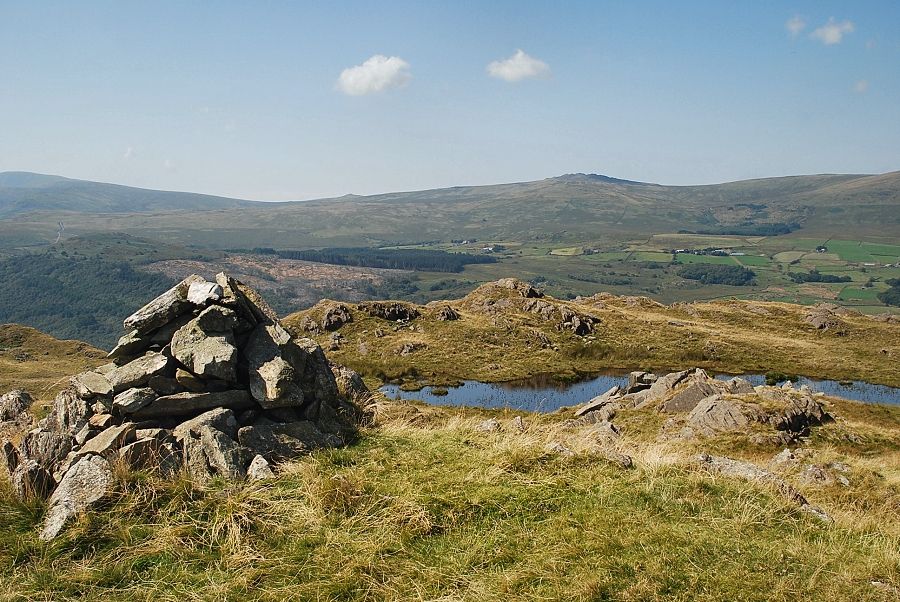
| Tarn Hill from the summit of Great Stickle |
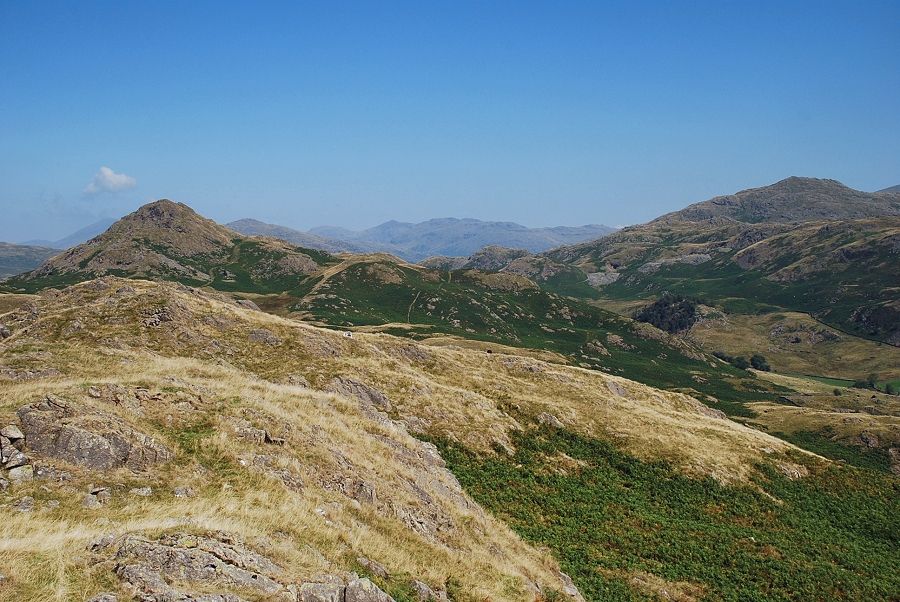 |
| Bowfell and Crinkle Crags in the distance framed by Stickle Pike and Caw |
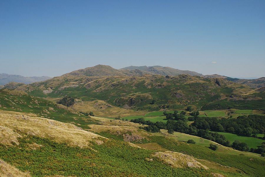 |
| Caw and the Coniston Fells across Dunnerdale |
 |
| Continuing on towards Tarn Hill |
 |
| Stickle Pike from the steep descent of Great Stickle |
 |
| Looking over to Buck Barrow, Burn Moor and Whit Fell |
 |
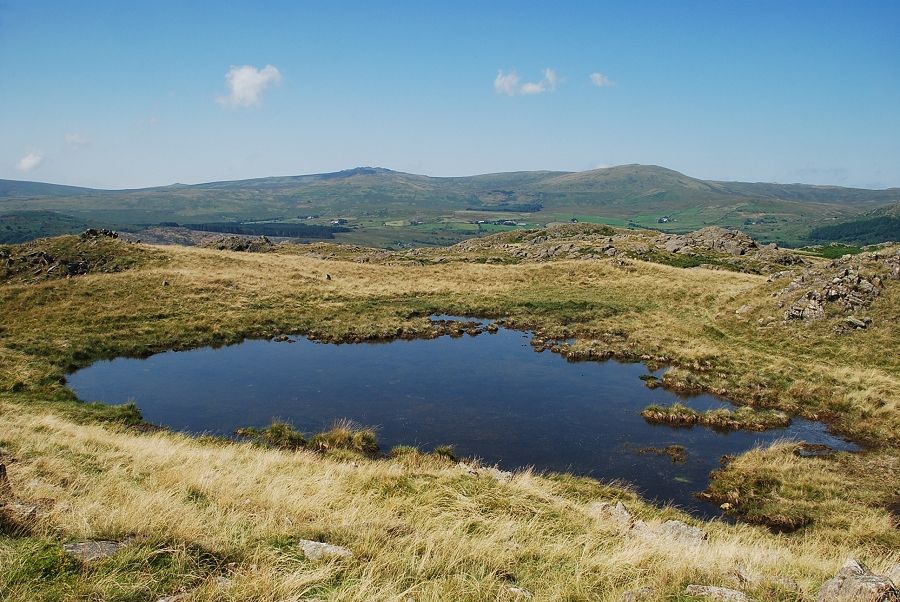
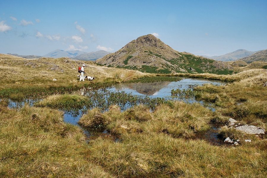
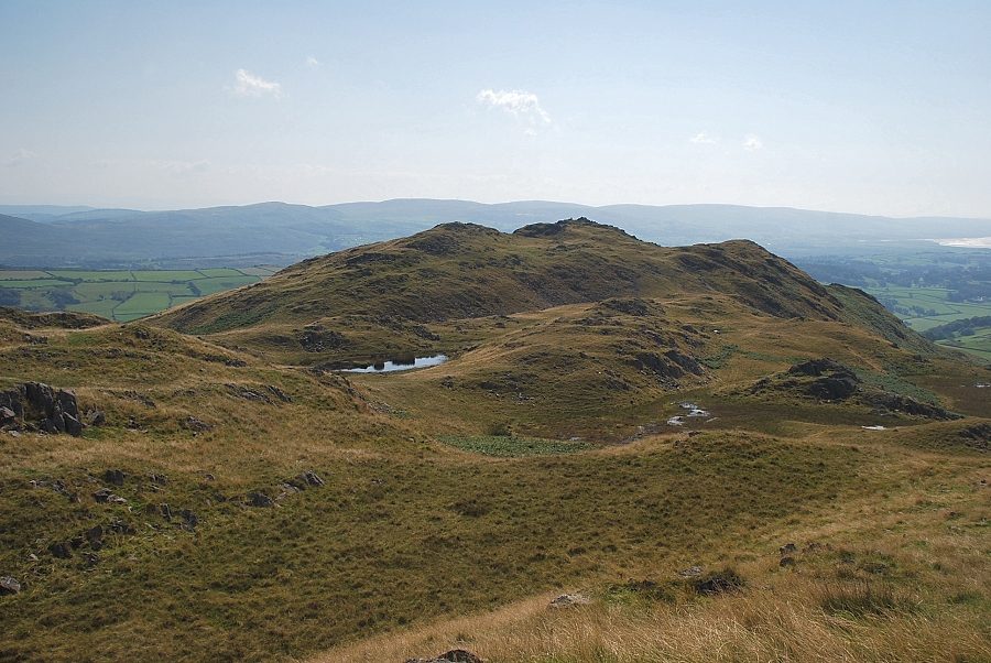
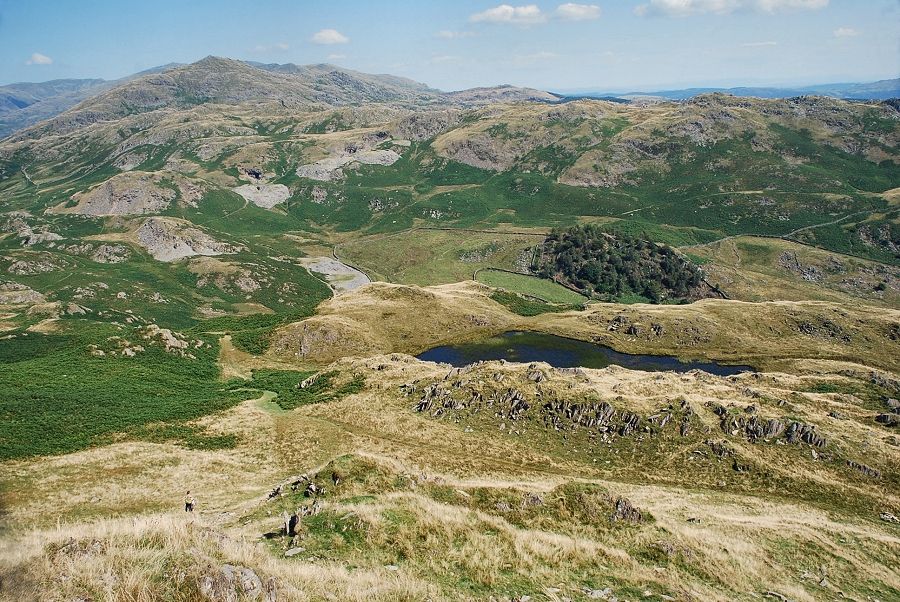
| Tarn Hill is well named as it is surrounded by at least eight small tarns |
 |
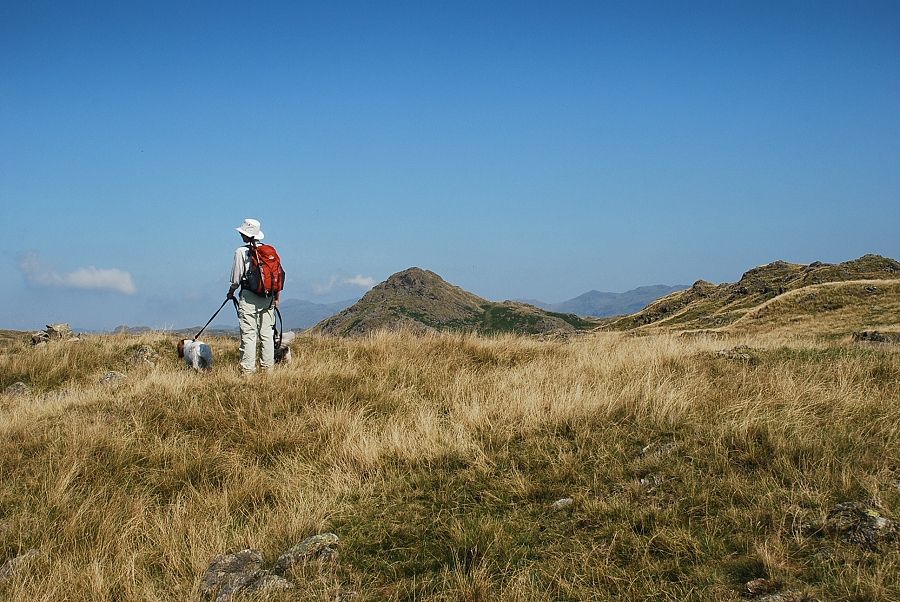
| The main path heads in the general direction of Stickle Pike an indistinct path turns off it towards the summit of Tarn Hill |
 |
| Looking over towards Black Combe from the ascent of Tarn Hill |
 |
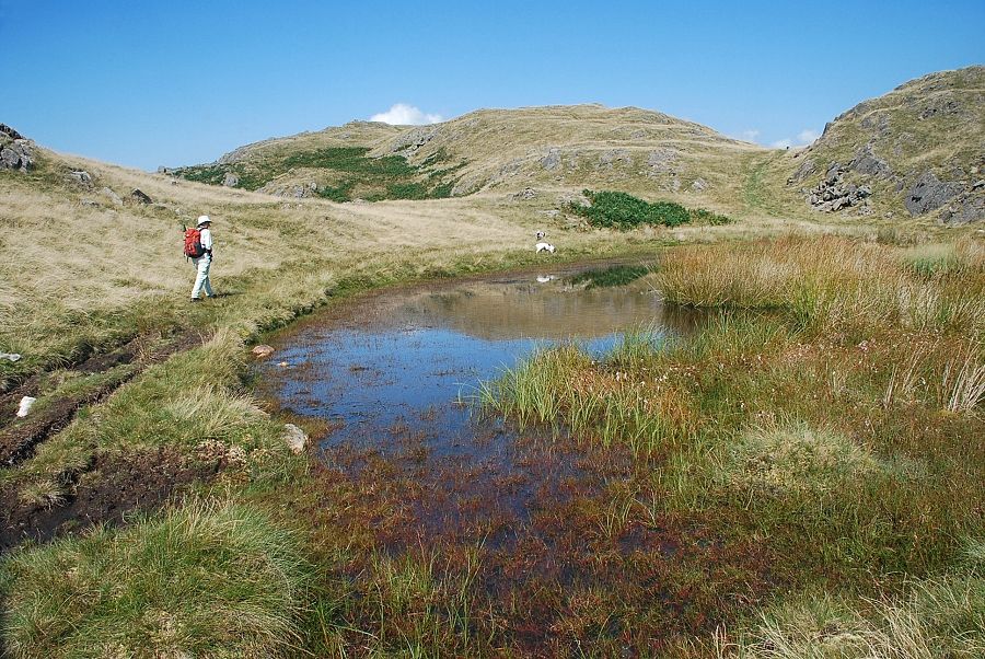
| Stickle Pike from one of the tarns on Tarn Hill |
 |
| Approaching the summit of Tarn Hill |
 |
| The summit cairn on Tarn Hill looking towards Buck Barrow |
 |
| Stickle Pike from the summit of Tarn Hill |
 |
| Caw and the Coniston Fells across Dunnerdale from the summit of Tarn Hill |
 |
| Looking back to Great Stickle from the summit of Tarn Hill |
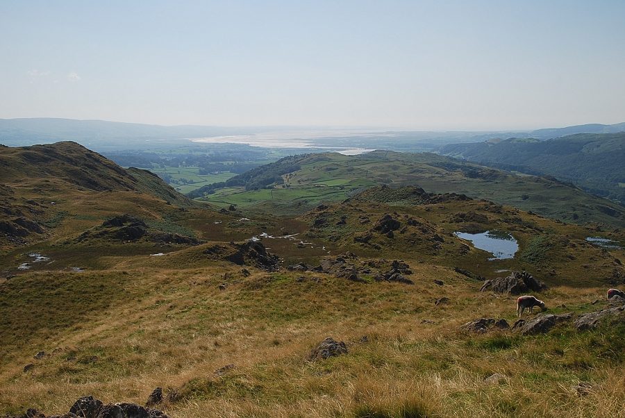 |
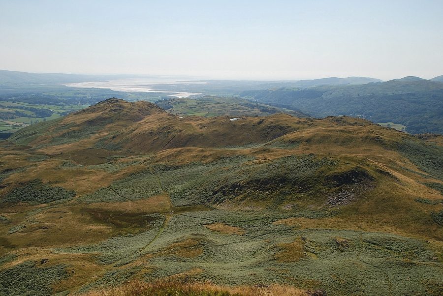
| The Duddon Estuary from the summit of Tarn Hill |
 |
| Continuing on towards Stickle Pike |
 |
| Rejoining the main path which rises to a level shoulder below the eastern slopes of Stickle Pike |
 |
| Looking back to Great Stickle and Tarn Hill from the path to the level shoulder |
 |
| Caw from the level shoulder |
 |
| From the level shoulder a clear path leads easily up to the summit of Stickle Pike |
 |
| Looking back from just below the summit |
 |
| The summit cairn on Stickle Pike |
 |
| Black Combe and Buck Barrow from the summit of Stickle Pike |
 |
| Whit Fell, The Pike and Hesk Fell from the summit of Stickle Pike |
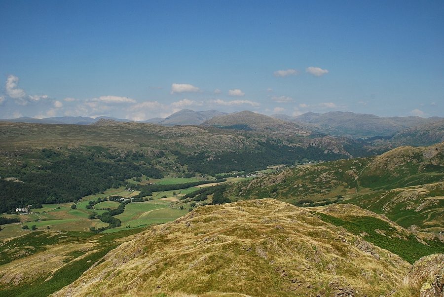 |
| Looking north to Harter Fell in the centre backed by the Scafells, Bowfell and Crinkle Crags |
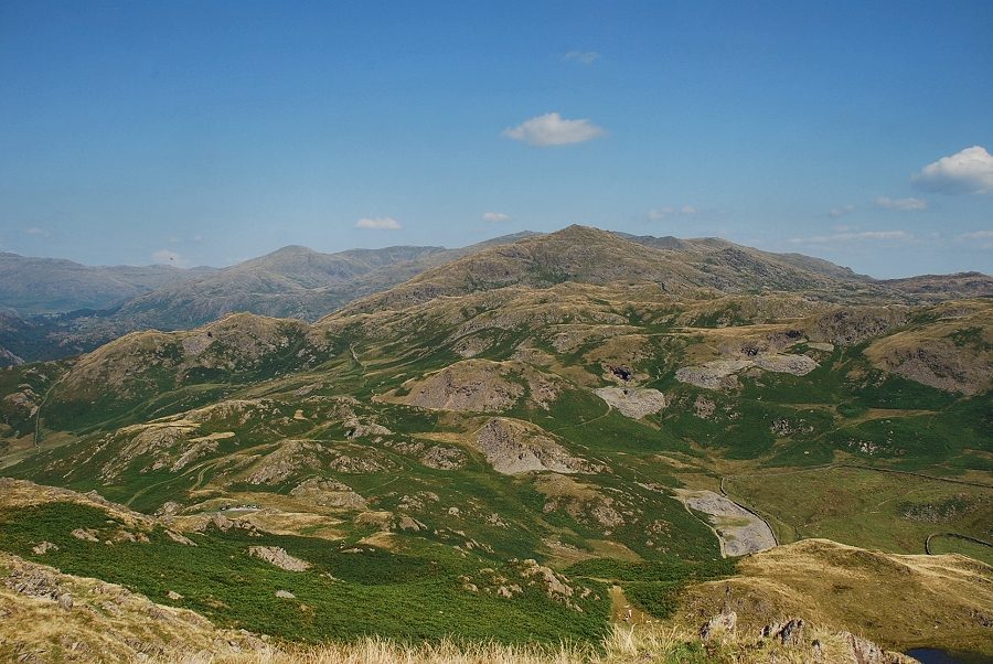 |
| Caw backed by the Coniston Fells |
 |
| Looking back to Great Stickle and Tarn Hill from the summit of Stickle Pike |
|