 |
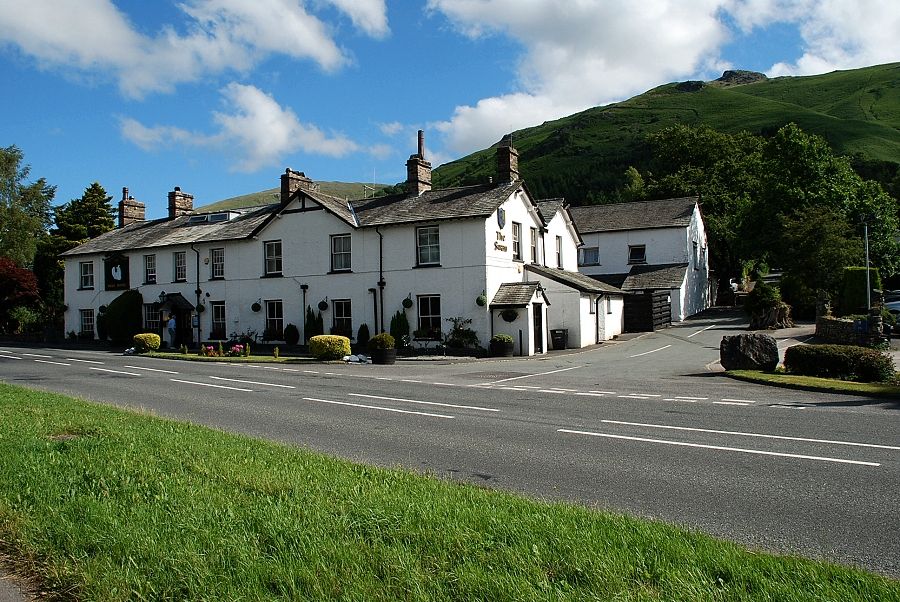
| Stone Arthur from the Swan Hotel |
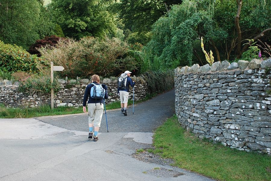 |
| Along the road behind the hotel is a narrow lane, signposted "Public footpath Greenhead Gill, Alcock Tarn" |
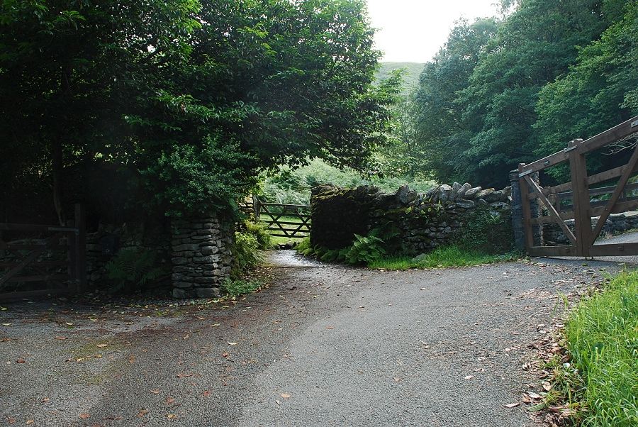 |
| The lane rises to a gate giving access to the open fellside |
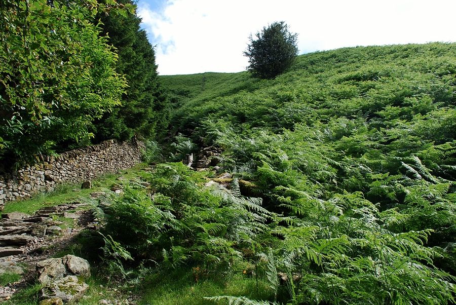 |
| Bear left from the gate on a path climbing steeply alongside a walled plantation |
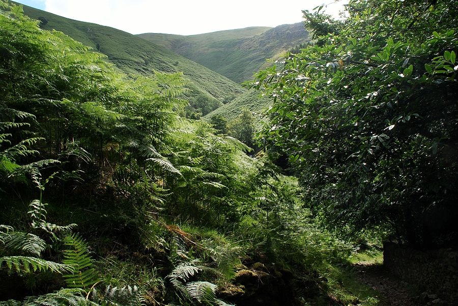 |
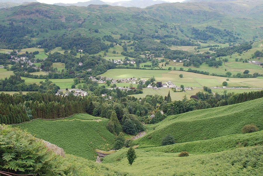
| Looking back to Greenhead Gill from the path |
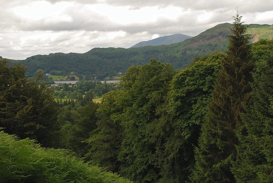 |
| Looking back to Wetherlam above the Dow Bank ~ Silver How ridge |
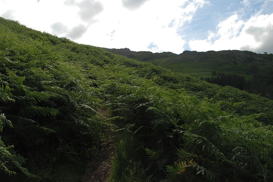 |
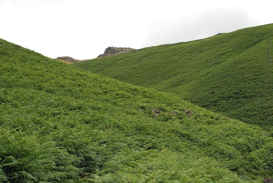
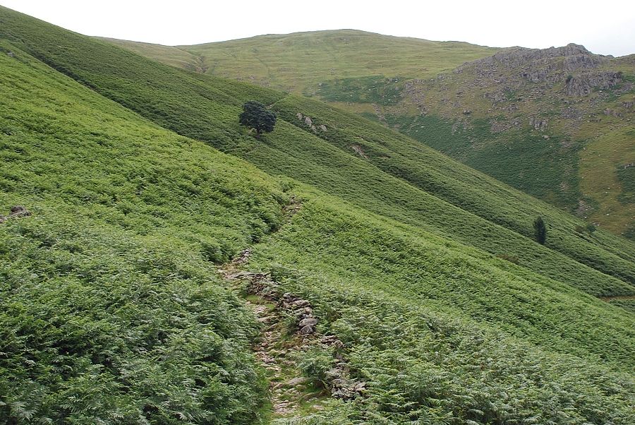
| In the height of summer some sections of the path are almost hidden amongst the tall bracken |
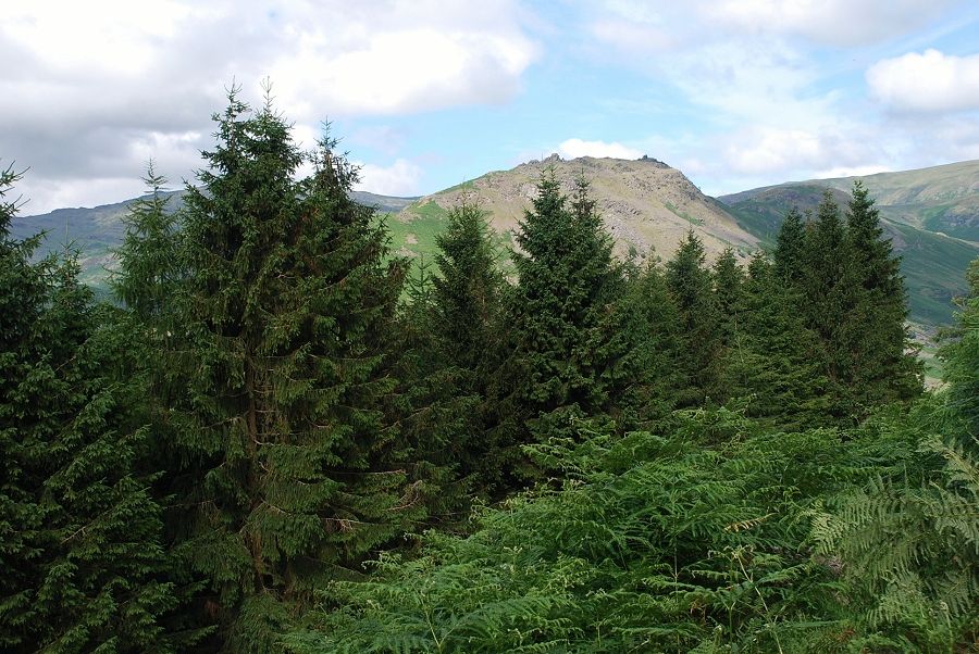 |
| Helm Crag appears over the trees |
 |
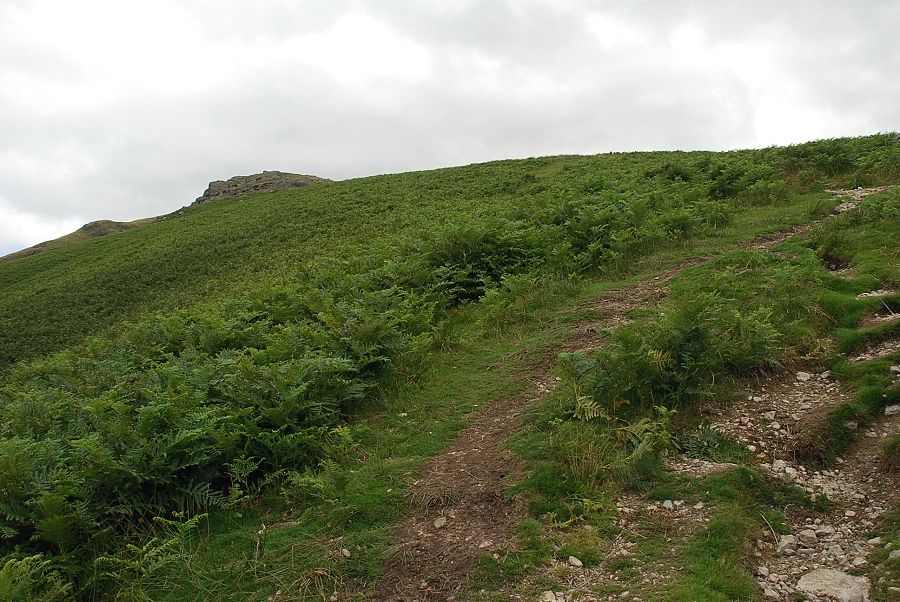
| The path turns sharply right away from the trees and begins to climb more steeply across the bracken covered slopes, opening out the views |
 |
| Helm Crag with Sergeant Man and a glimpse of Pavey Ark to the left |
 |
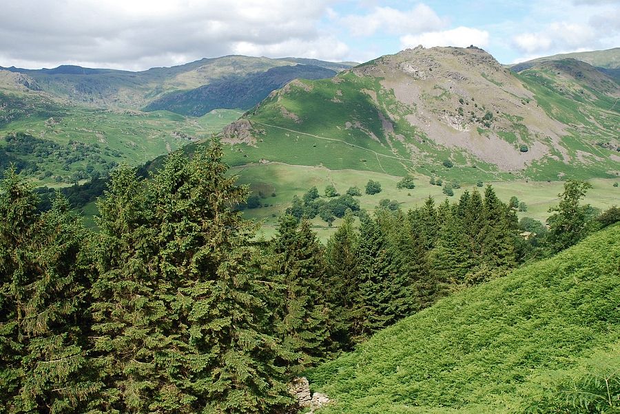
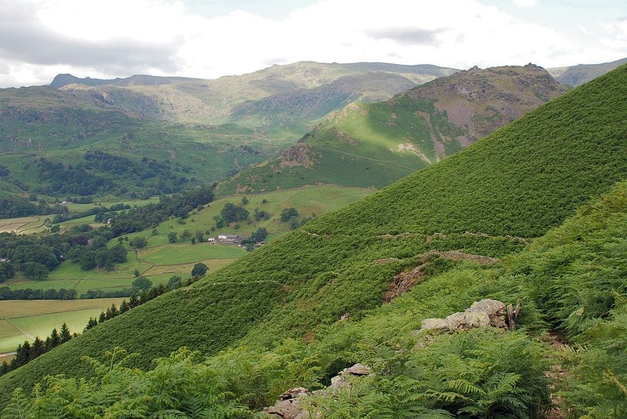
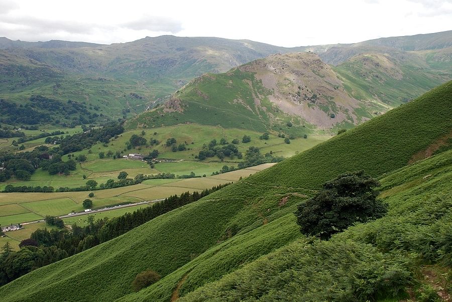
| Higher on the path looking across the valley to Great Castle How with Harrison Stickle and Pavey Ark appearing over Blea Rigg |
 |
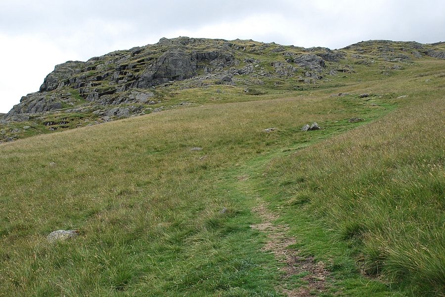
| Looking up to the summit of Stone Arthur as the path approaches an unnamed gill |
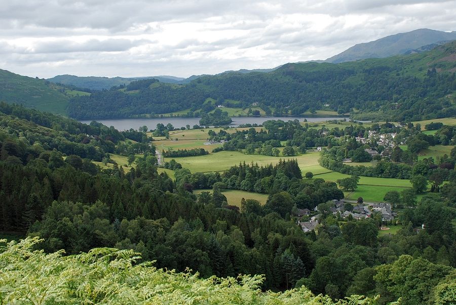 |
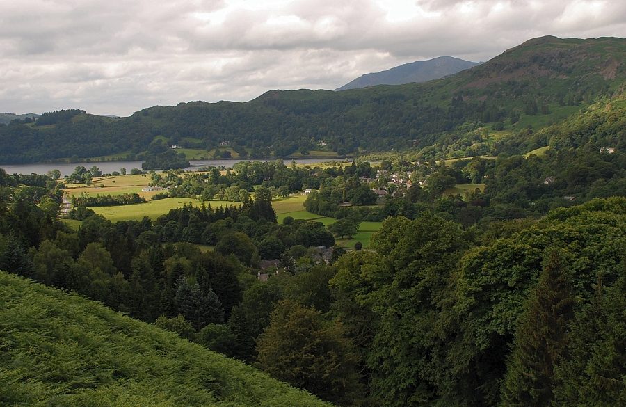
| Grasmere from the unnamed gill |
 |
| On crossing the gill the path continues across the fellside, following the course of an old drove lane towards a broad spur overlooking Greenhead Gill |
 |
| Looking back from the drove lane |
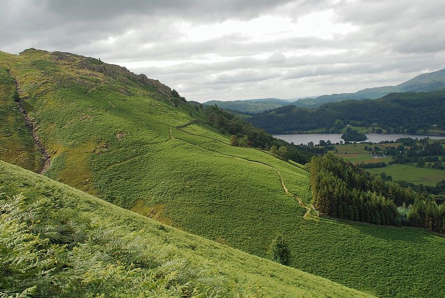 |
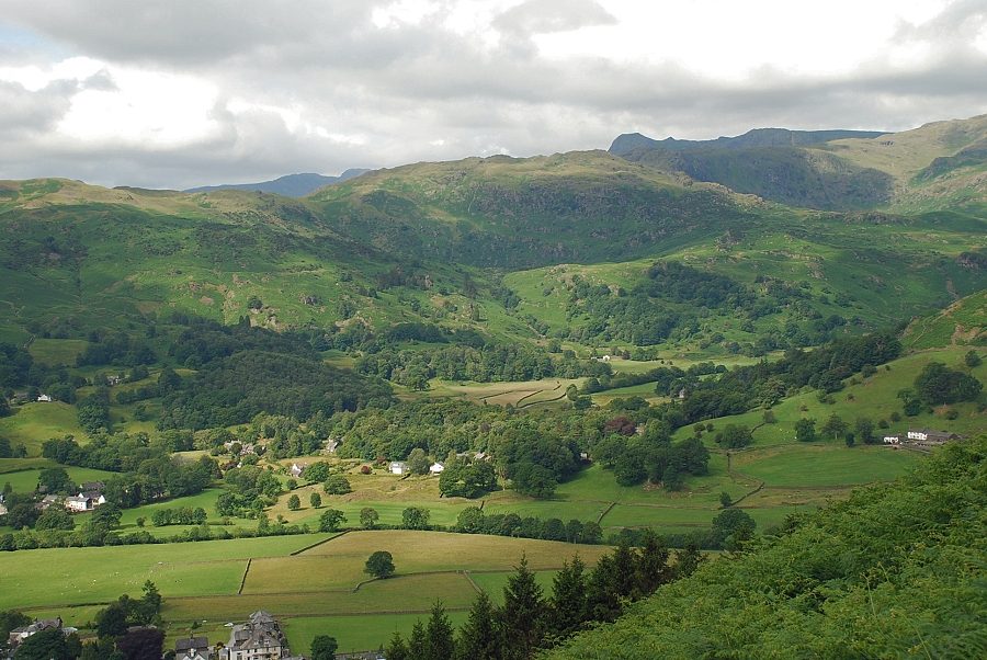
| Grasmere and Grey Crag from the drove lane |
 |
| Looking down to the lower reaches of Greenhead Gill |
 |
| Looking back from the end of the drove lane |
 |
| The drove lane reaches the spur overlooking Greenhead Gill and joins a path rising directly from the gill |
 |
| Approaching the summit of Stone Arthur |
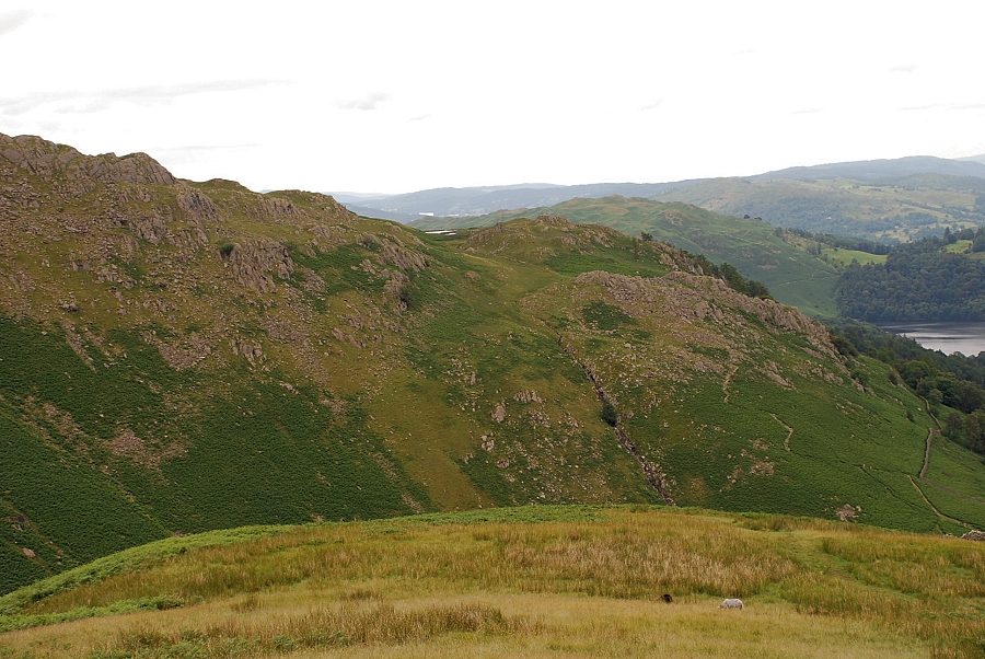 |
| Looking back during the climb to the summit, Alcock Tarn is just visible on a grass shelf between Butter Crag and Grey Crag |
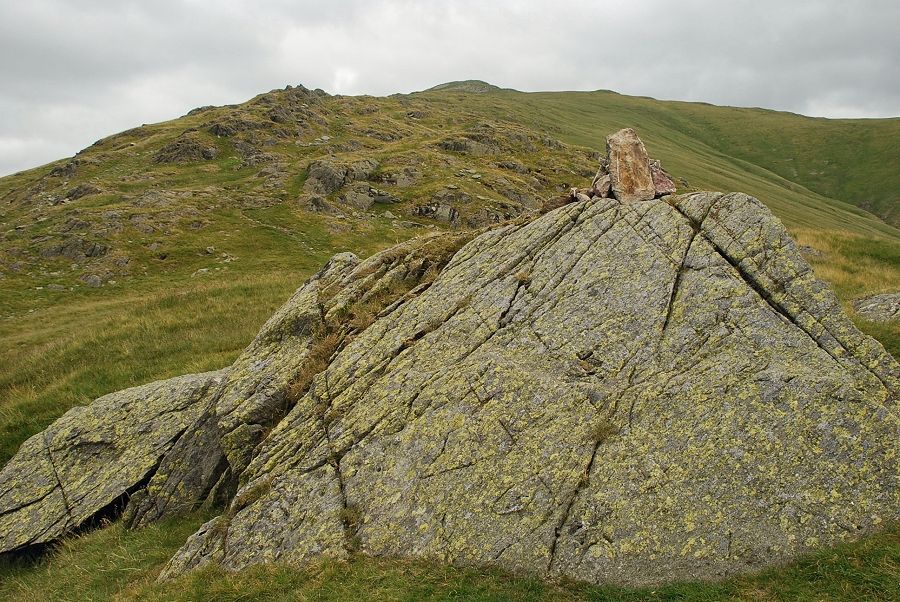 |
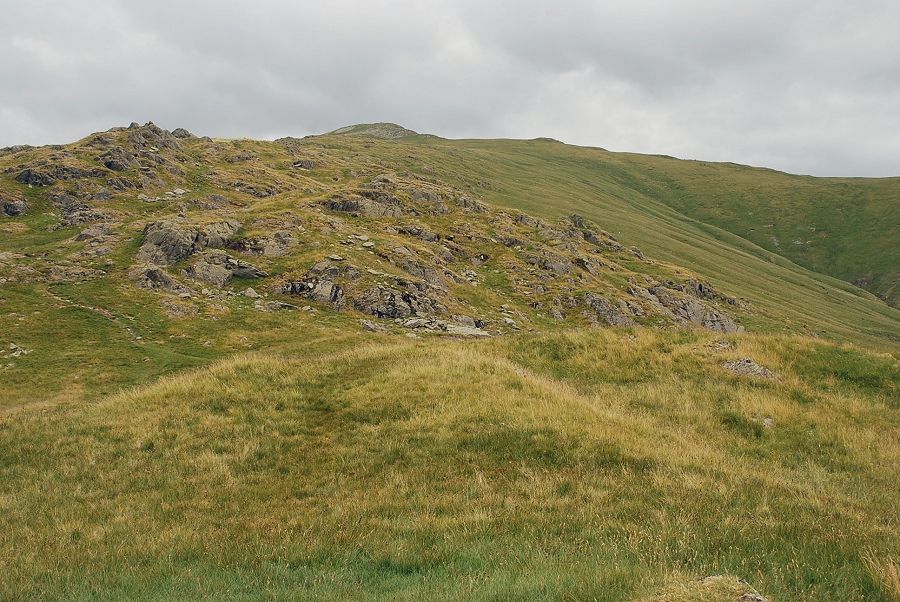
| The summit of Stone Arthur. The summit, so prominent when seen fom Grasmere, is merely a rock studded outcrop on the ridge which continues on to Great Rigg and Fairfield |
 |
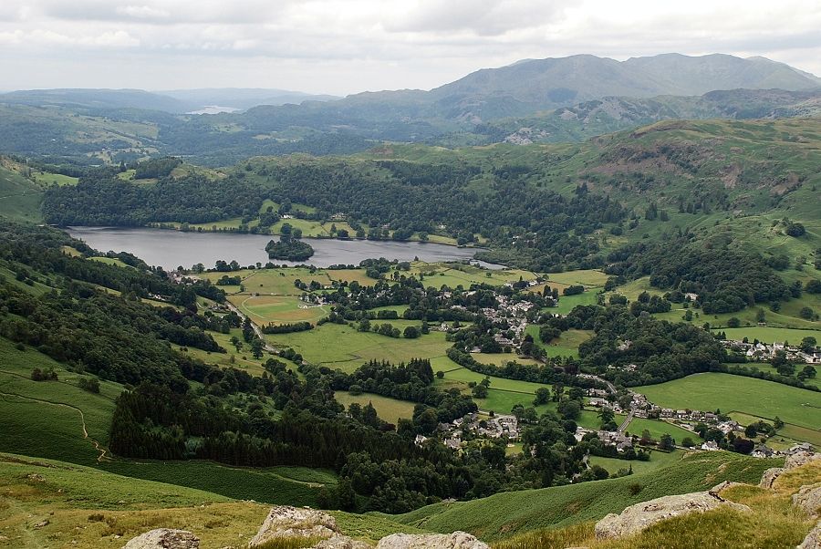
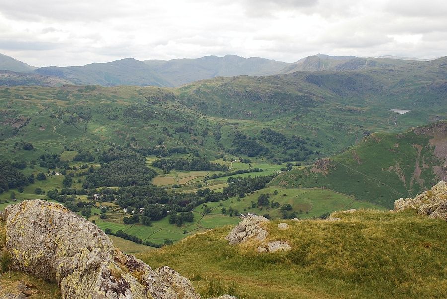
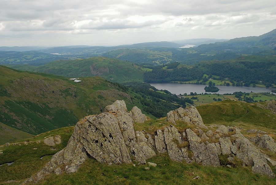
| Alcock Tarn and Esthwaite Water from the summit of Stone Arthur. Part of Grasmere visible on the right |
 |
| Grasmere and part of Coniston Water with the Coniston Fells on the right skyline |
 |
| Pike o' Blisco, Crinkle Crags and Bowfell over the Langdale Pikes |
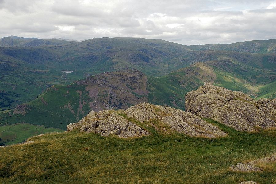 |
| High Raise over Helm Crag with Easedale Tarn on the left |
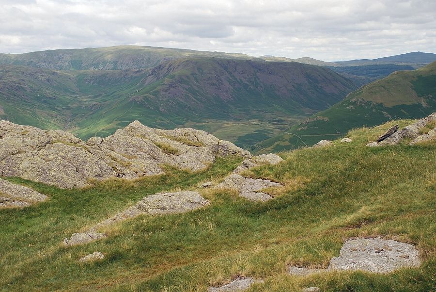 |
| Ullscarf and High Seat on the horizon with Steel Fell in the middle distance |
 |
| Seat Sandal to the north |
 |
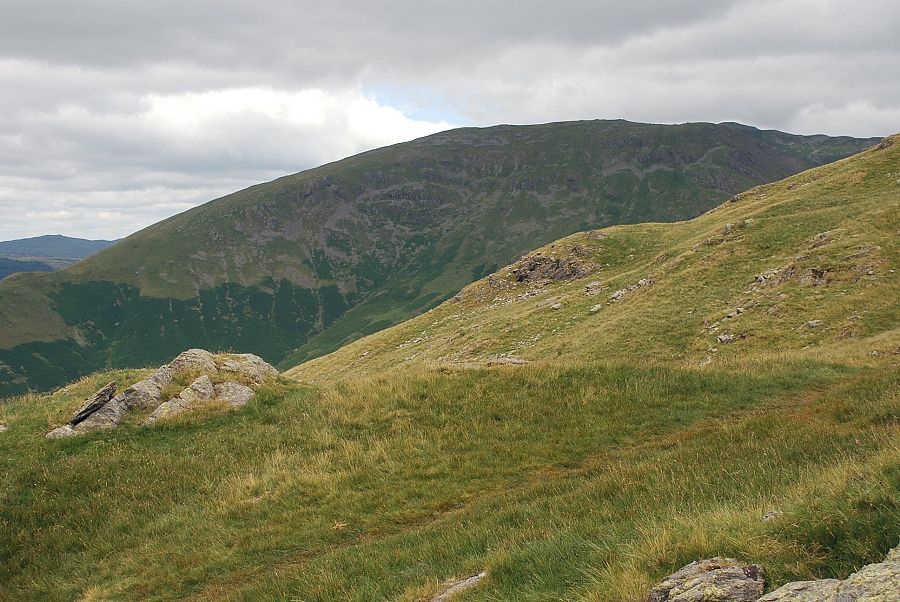
| The connecting ridge to Great Rigg |
 |
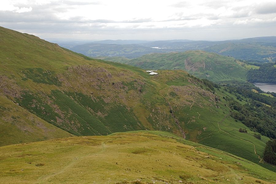
| Looking back from the connecting ridge, the summit rocks of Stone Arthur can be seen in the lower foreground |
