 |
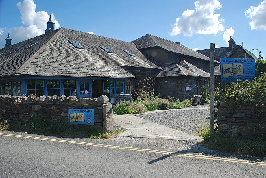
| The walk starts from the centre of the village by taking the road to the Coppermines Valley past the Ruskin Museum |
 |
| Just past the the museum there are some free parking places |
 |
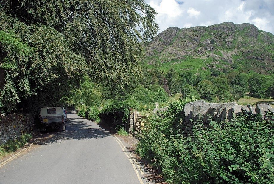
| A quarter of a mile from the village the public road ends and continues as a private track, closed to unauthorised vehicles but open to pedestrians |
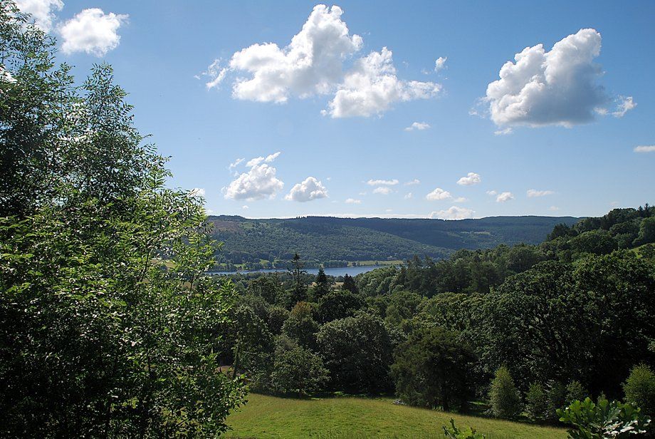 |
| Looking over to Coniston Water from the track |
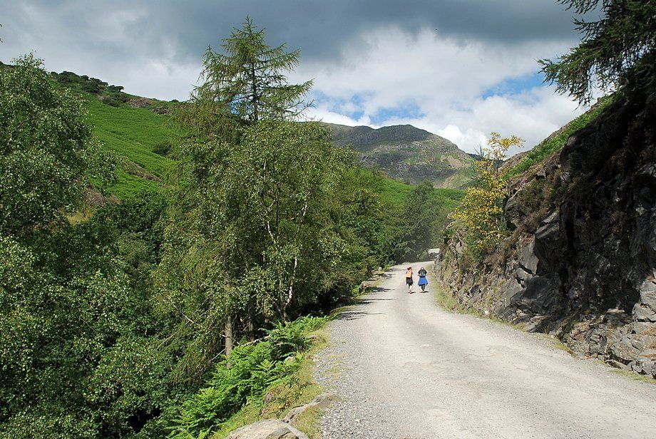 |
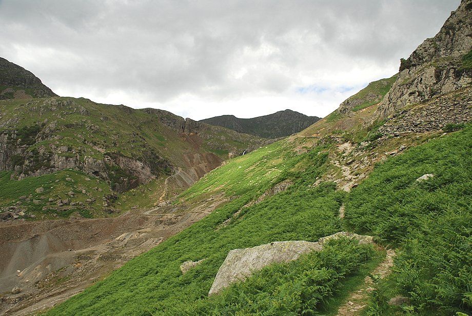
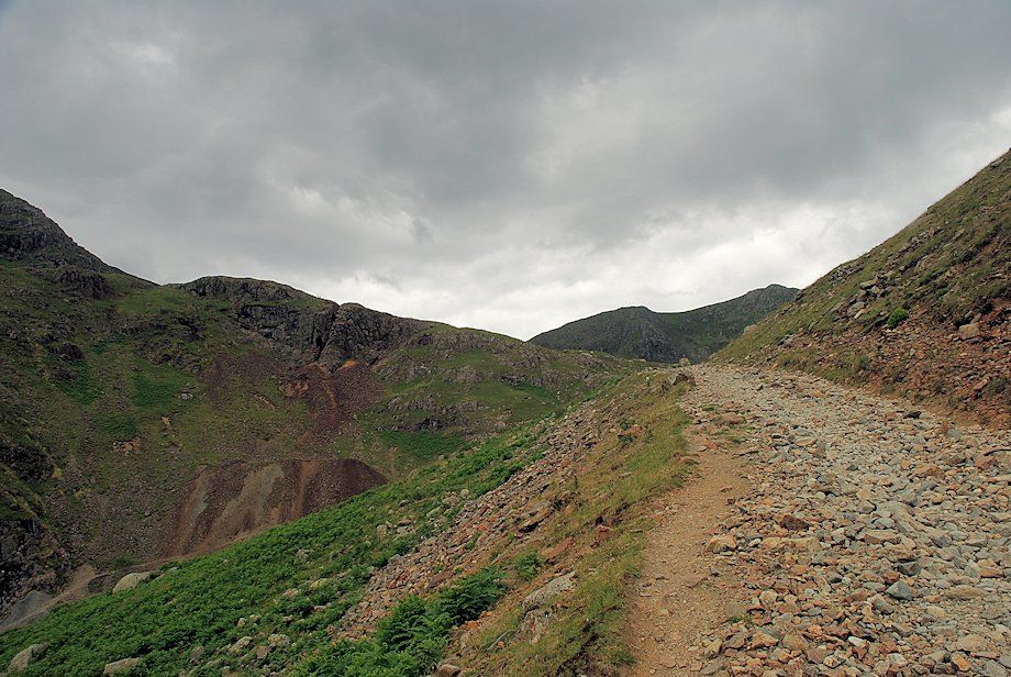
| Raven Tor dominates the view ahead as the track continues on above the deep gorge of Church beck |
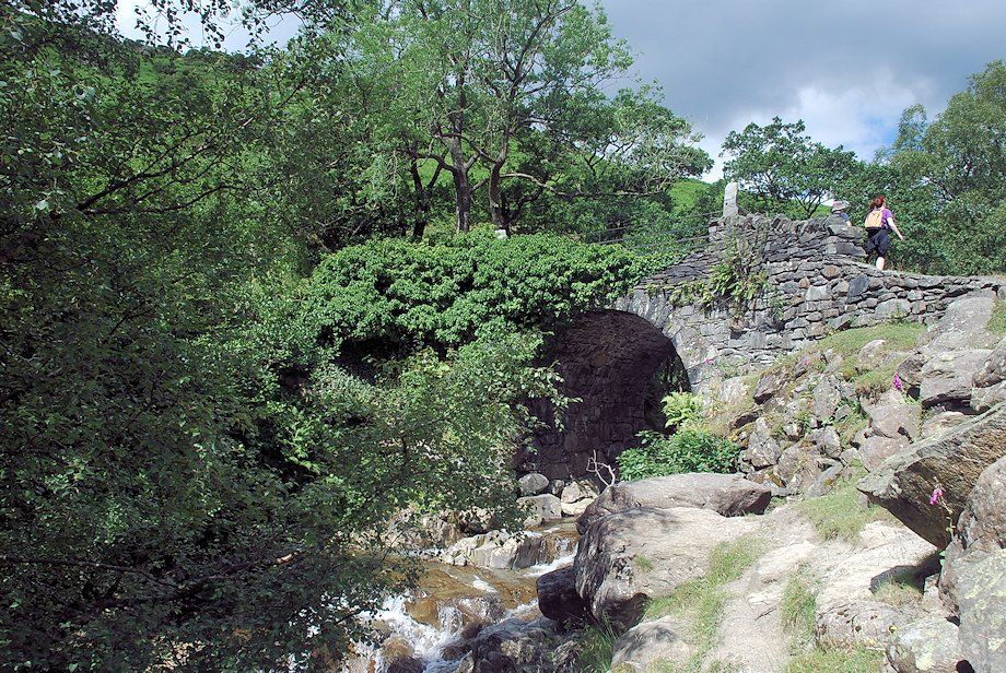 |
| Miners Bridge over Church Beck |
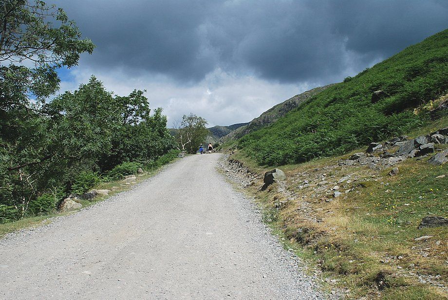 |
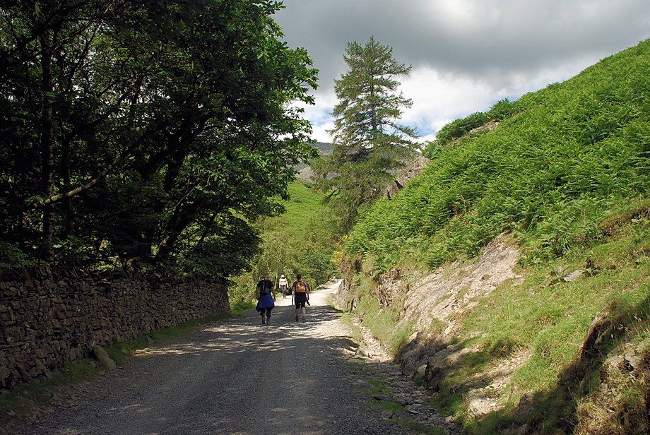
| The track leading up to the Coppermines Valley from Miners Bridge |
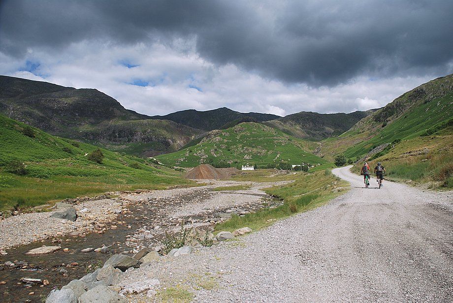 |
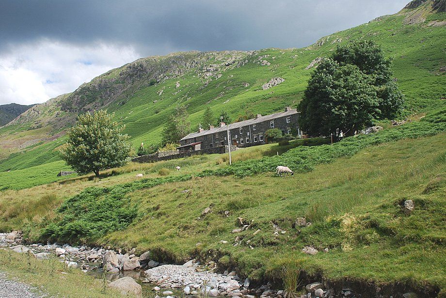
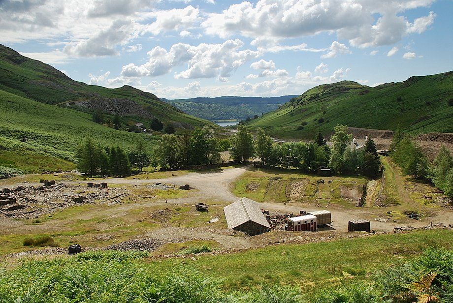
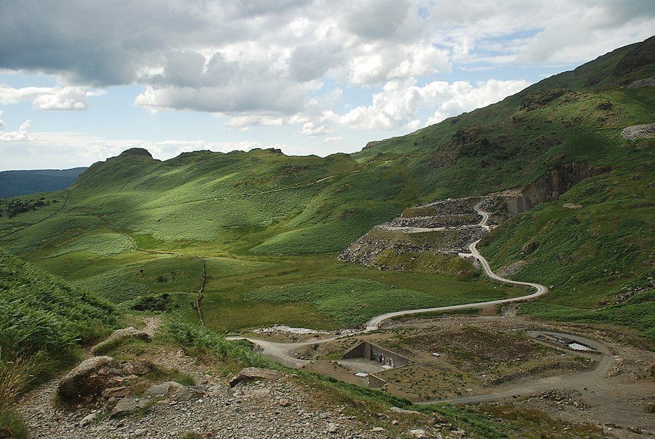
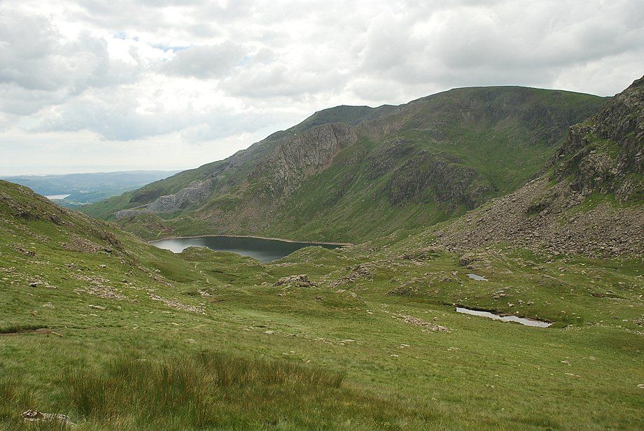
| The Coppermines Valley with Swirl How visible on the centre horizon. Some of the mines in the valley date back to the 16th century. By the middle of the 19th century production had reached its peak with an annual yield in excess of 3,600 tons of dressed ore. Thereafter the industry began to decline as the price of copper collapsed due to cheaper imported ore. The former mine offices in the centre of the photo have been converted into a YHA hostel while the stables and compressor house are now a climbing hut and holiday let accommodation respectively |
 |
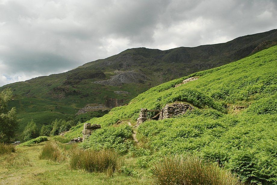
| Passing Irish Row, a terrace of former miners cottages |
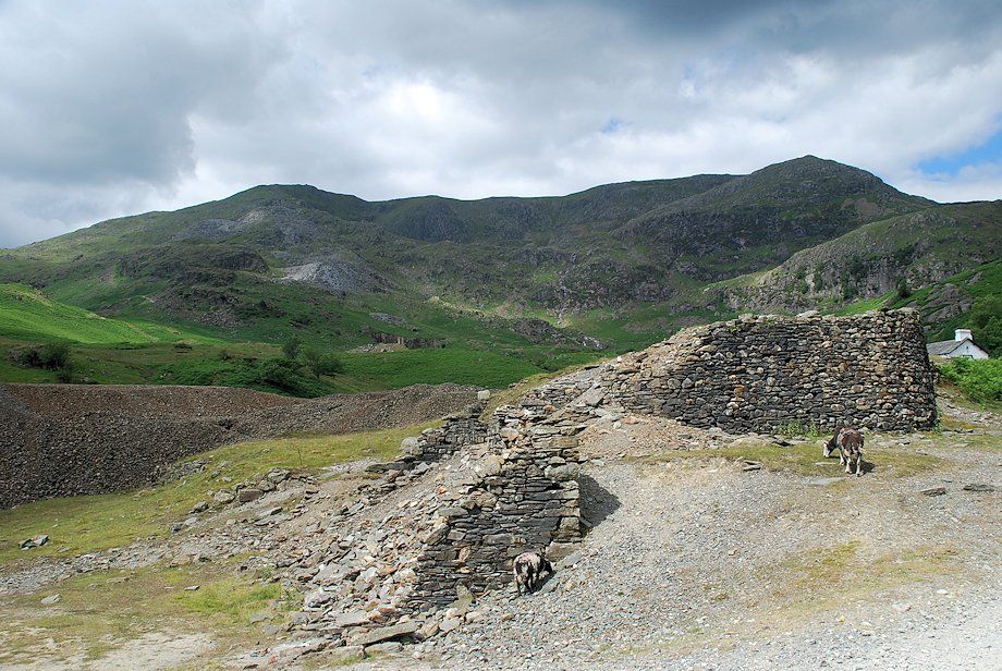 |
| Coniston Old Man, Brim Fell and Raven Tor from one of the ruined buildings of the Bonsor Lower Mill |
 |
| Passing the former compressor house, now converted into holiday accommodation |
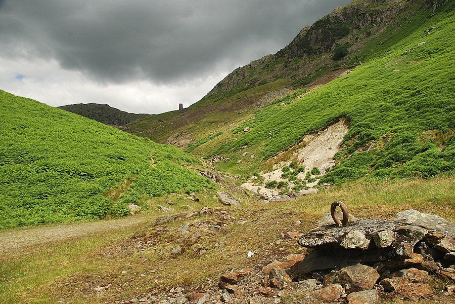 |
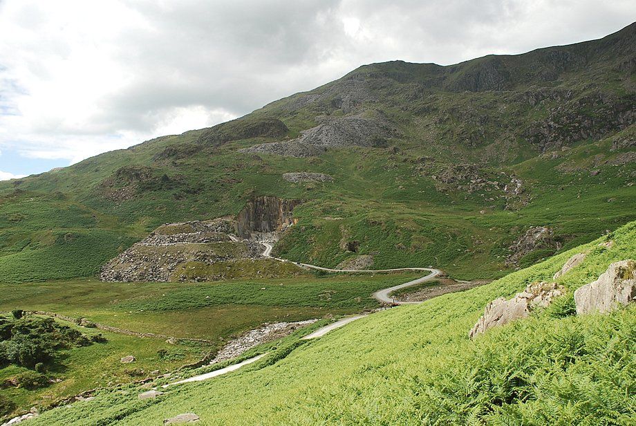
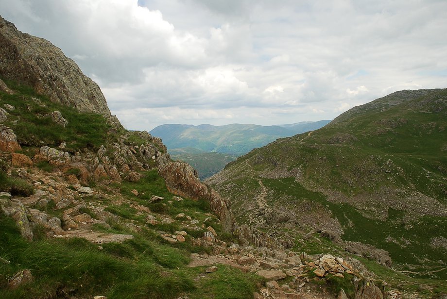
| Looking up the valley of Red Dell Beck, the launder tower of the Old Engine Shaft can be seen on the skyline |
 |
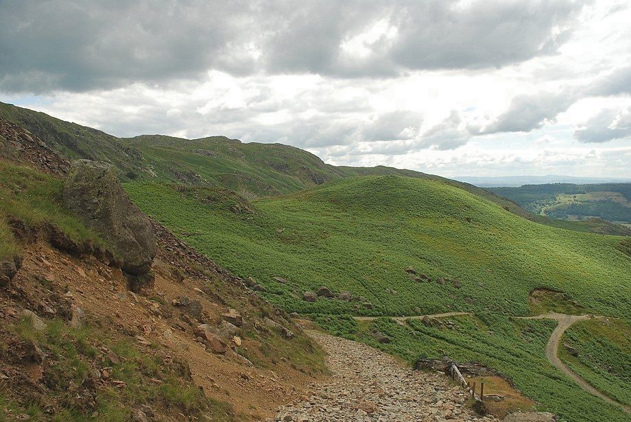
| The path turns away from Red Dell Beck and begins to climb across the southern slopes of Tongue Brow |
 |
| Looking down on the site of the Bonsor Upper Mill and Dressing Floor |
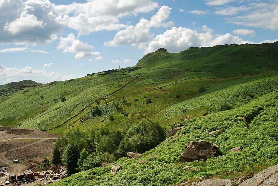 |
| Looking over to The Bell from Tongue Brow |
 |
| Coniston Old Man from Tongue Brow |
 |
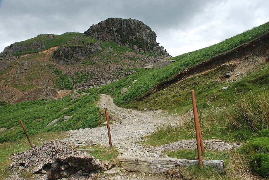
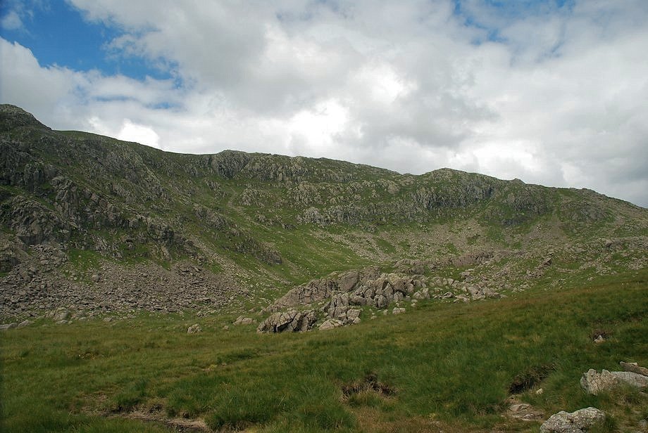
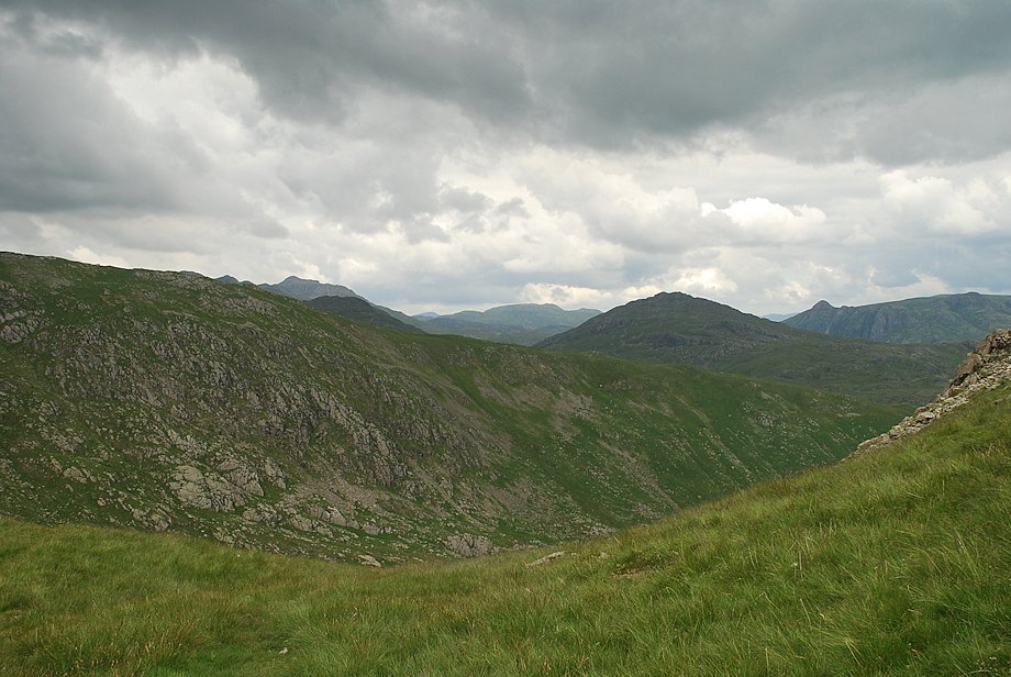
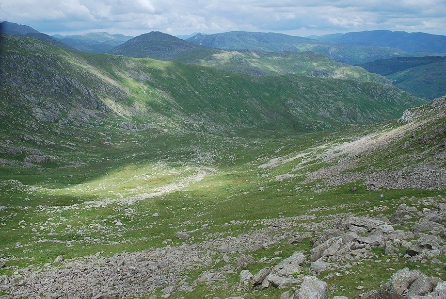
| The path gradually turns to climb steadily along the western slope of Tongue Brow high above the workings of the Paddy End Mine. The distinctive notch of Simon's Nick can be seen on the skyline with Little How Crags and Great How Crags to its right |
 |
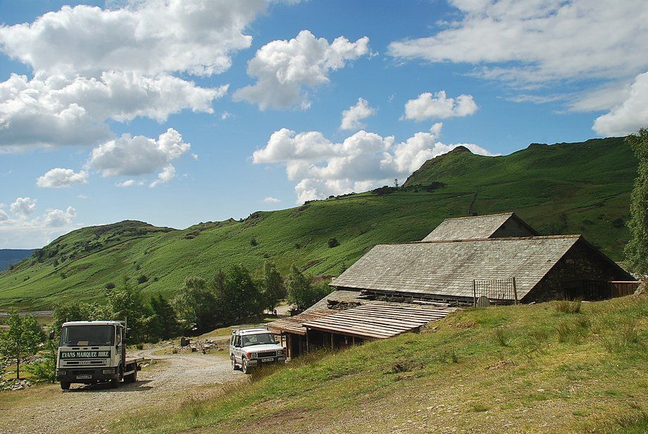
| Looking down on the waterworks and covered reservoir |
 |
| The path eventually joins the Levers Water access track which rises from the waterworks |
 |
| Raven Tor from the Levers Water access track |
 |
| Simon's Nick and the workings of the Paddy End Mine from the Levers Water access track |
 |
| Looking back along the Levers Water access track |
 |
| Approaching the Levers Water dam, Prison Band comes into view to the right of Great How Crags |
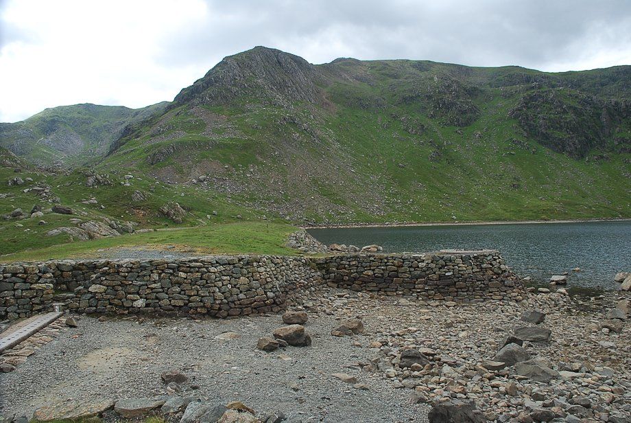 |
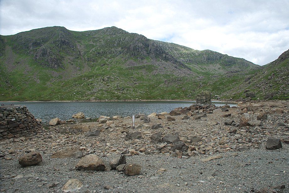
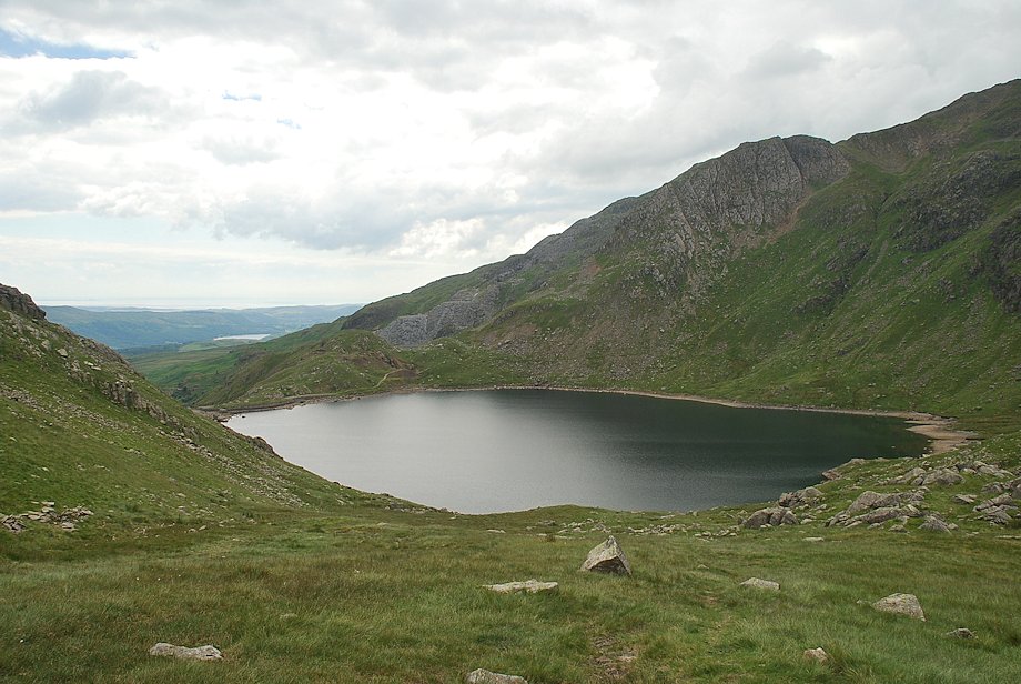
| Raven Tor and Brim Fell from the Levers Water dam with Coniston Old Man on the left. The water level was very low on this visit, it's normally flowing over the spillway on the left |
 |
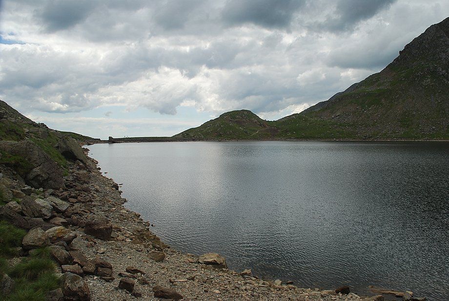
| Little How Crags, Great How Crags and Prison Band across Levers Water. The route continues on a rough path above the south eastern side of the tarn |
 |
| Looking back to the Levers Water dam |
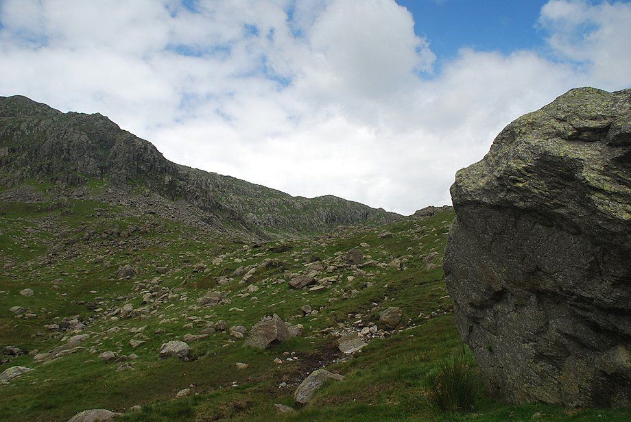 |
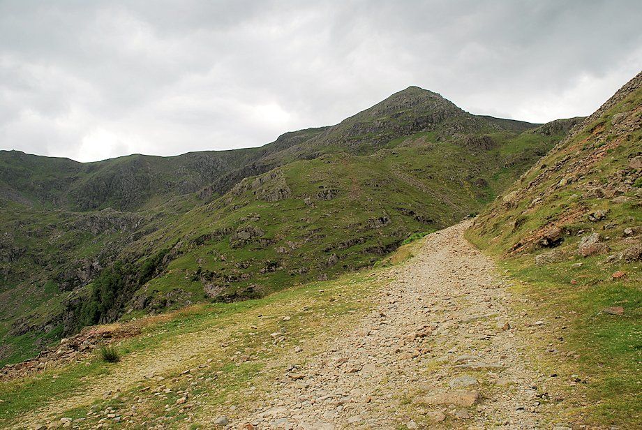
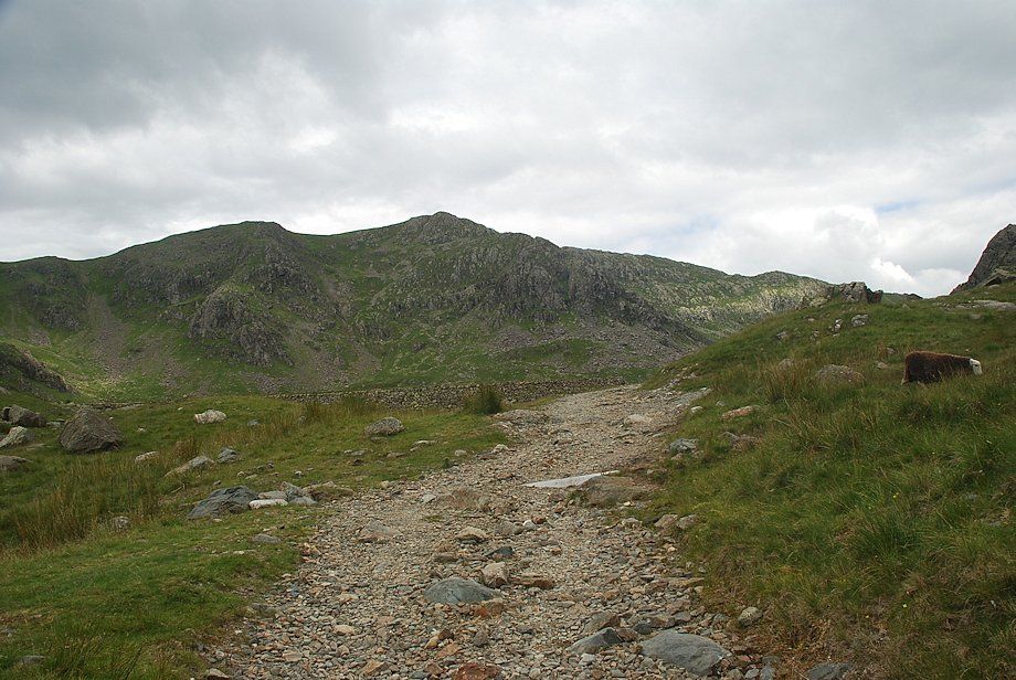
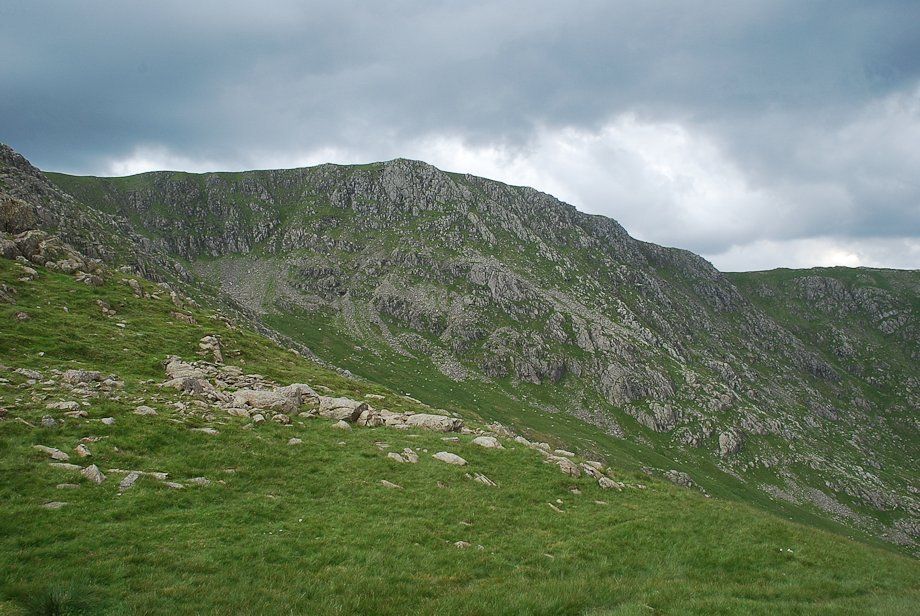
| Great How Crags and Prison Band from the start of the climb to Swirl Hawse |
 |
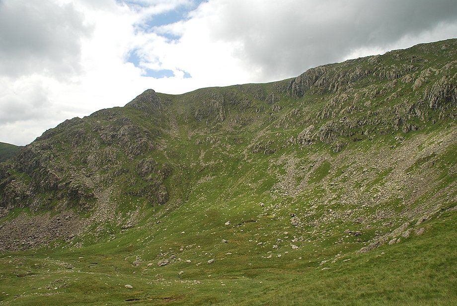
| Looking over to Great How Crags above The Prison |
 |
| Looking back to Levers Water |
 |
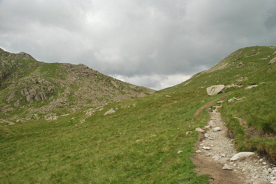
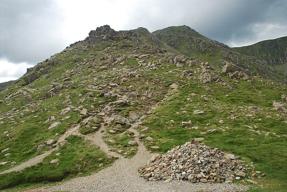
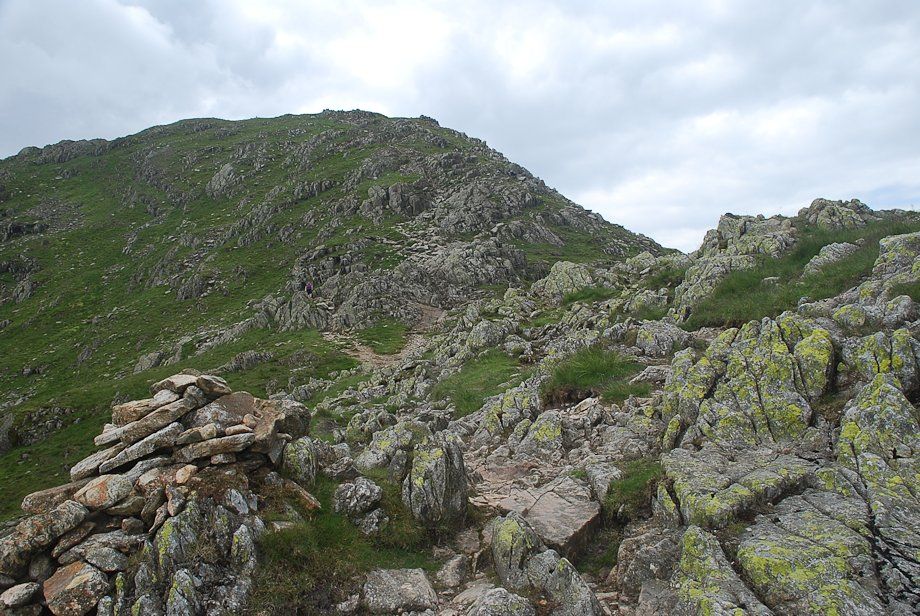
| Swirl Hawse comes into view |
 |
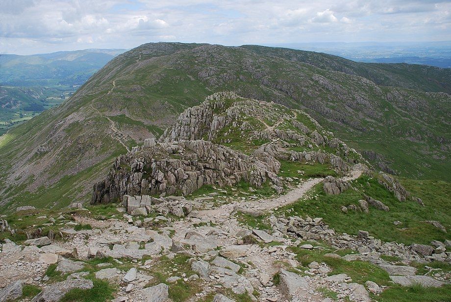
| The Prison Band ridge leading up to the summit of Swirl How |
 |
| Looking back to Coniston Old Man and Brim Fell from the path to Swirl Hawse |
 |
| Approaching Swirl Hawse |
 |
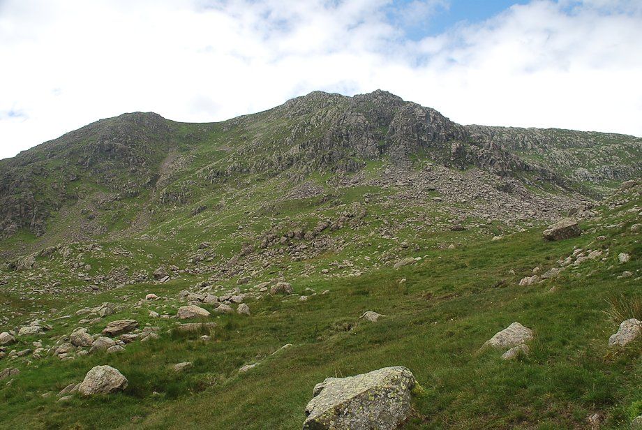
| Great How Crags and Prison Crag from the path to Swirl Hawse |
 |
| Looking back to Levers Water from just below Swirl Hawse |
 |
| Swirl Hawse |
 |
| Great Carrs from Swirl Hawse |
 |
| Bowfell, Glaramara, Pike o' Blisco annd Pike o' Stickle over Wet Side Edge |
 |
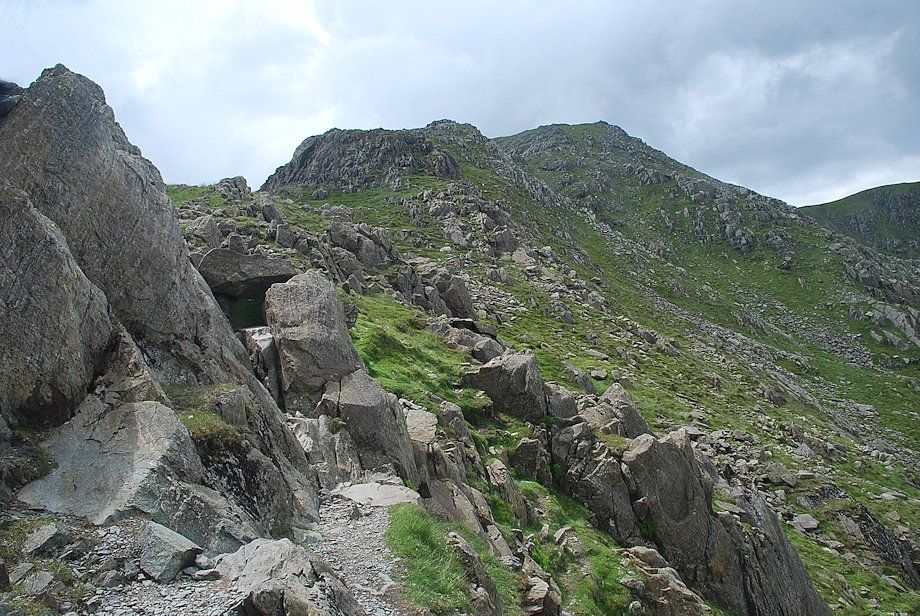
| Prison Band from Swirl Hawse. The rock towers on the ridge are easily turned but they still require care, particularly in wet conditions |
 |
| Looking up to the summit of Swirl How from the first rock tower |
 |
| Looking down to Swirl Hawse from the first rock tower |
 |
| Greenburn from Prison Band |
 |
| Levers Water and Coniston Water from Prison Band |
 |
| Pike o' Blisco across Wet Side Edge |
 |
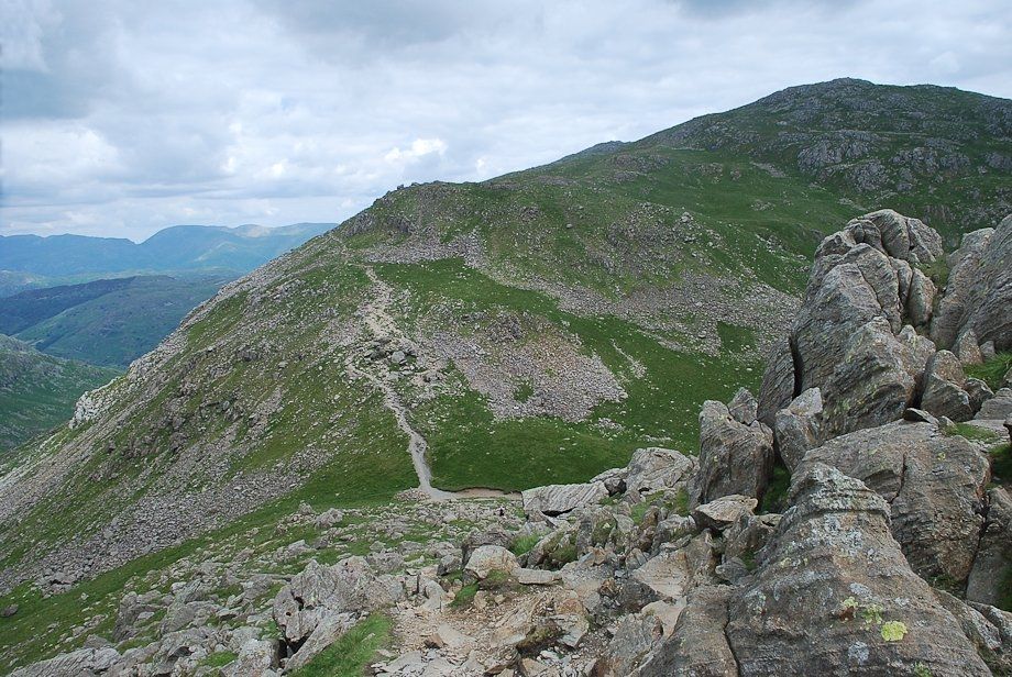
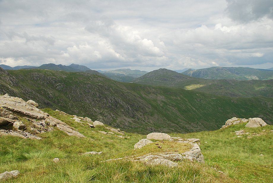
| Looking back to Wetherlam from Prison Band |
 |
| Fairfield, Hart Crag and Dove Crag from Prison Band |
 |
| The final slope leading up to the summit of Swirl How |
 |
| Looking back along the upper part of Prison Band |
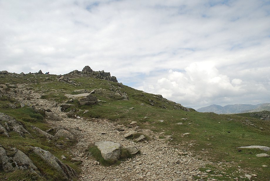 |
| Approaching the summit of Swirl How |
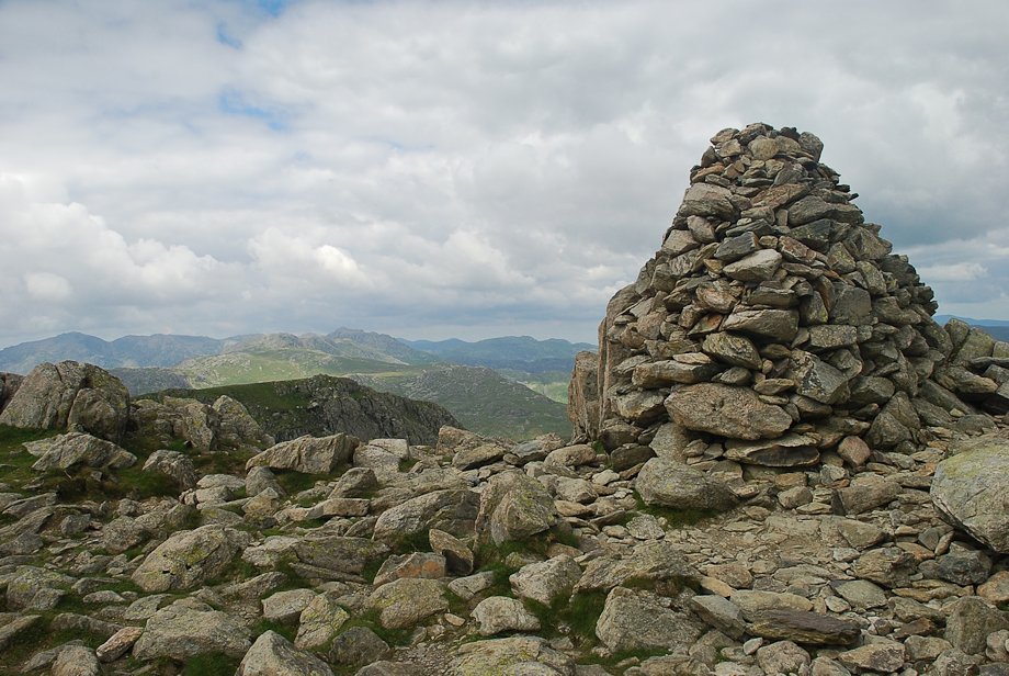 |
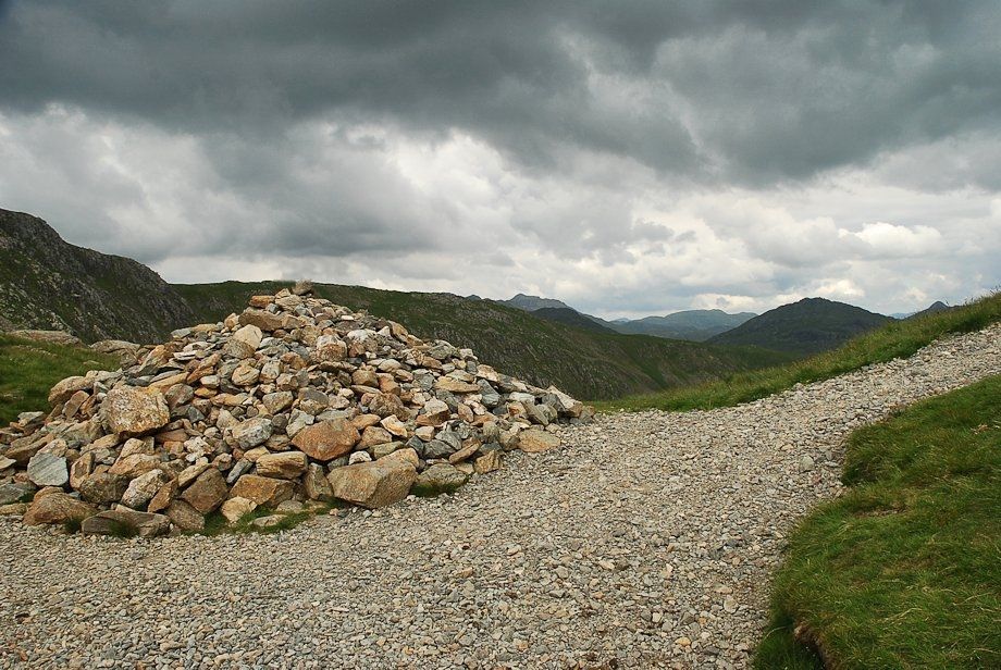
| The summit cairn on Swirl How |
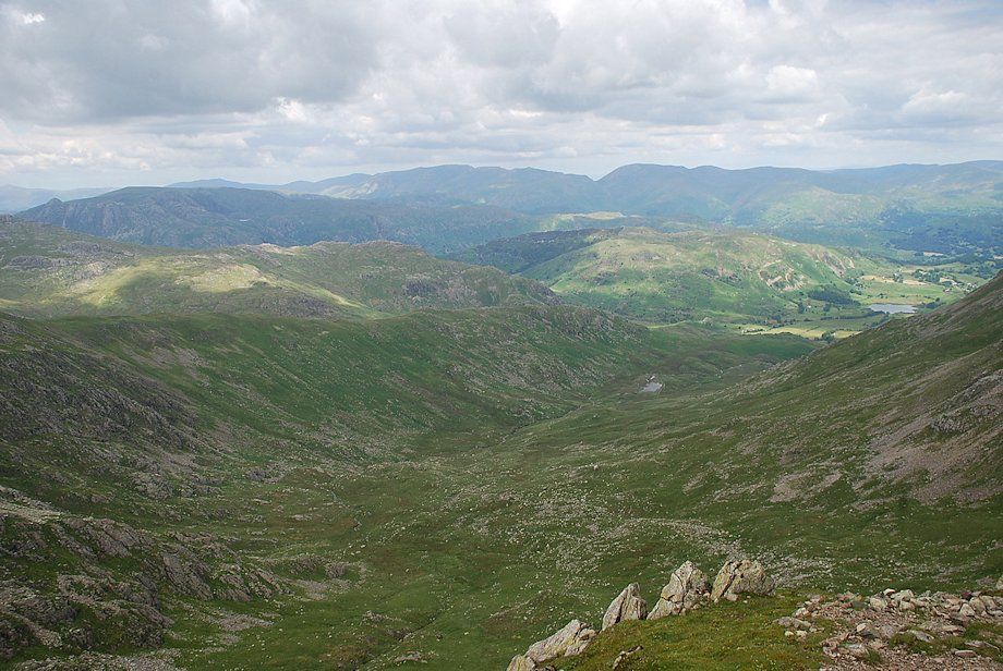 |
| Greenburn and Little Langdale from the summit of Swirl How |
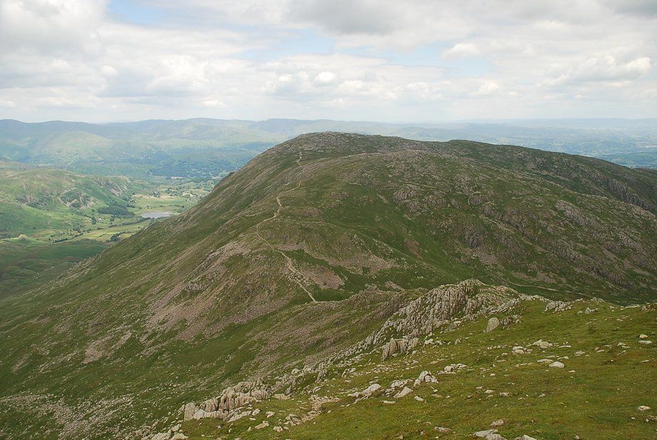 |
| Wetherlam from the summit of Swirl How |
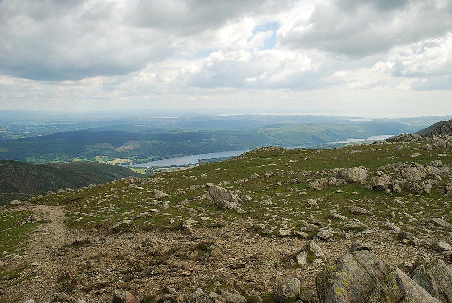 |
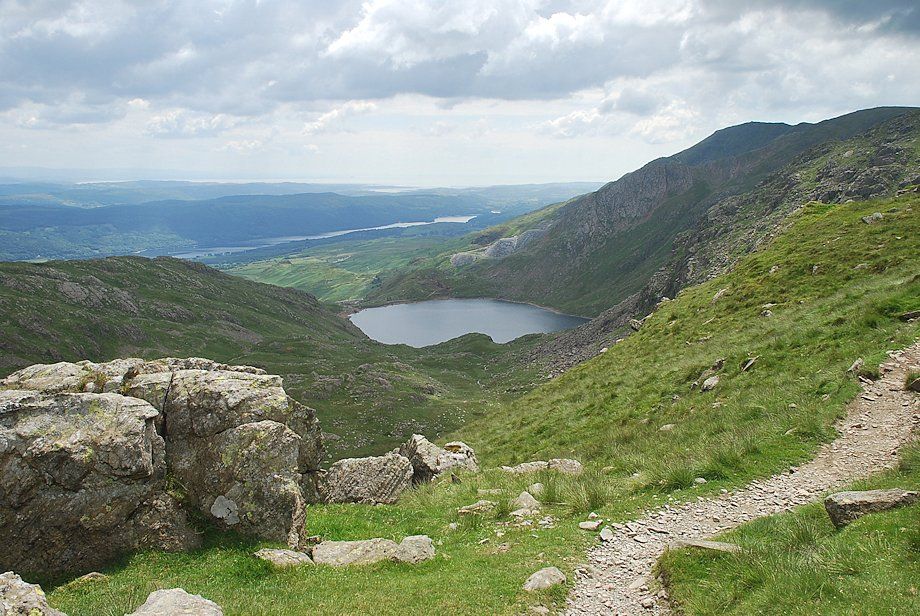
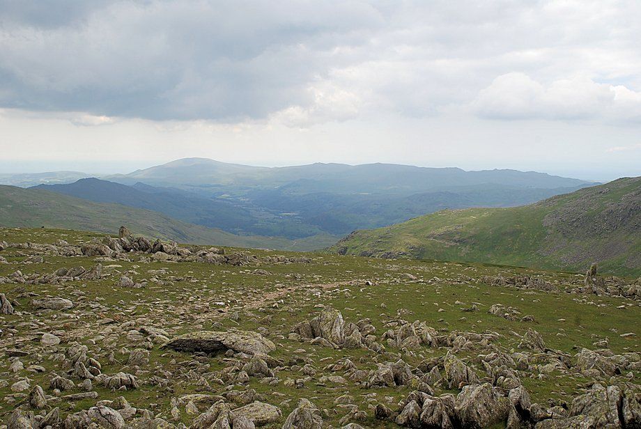
| Coniston Water from the summit of Swirl How |
 |
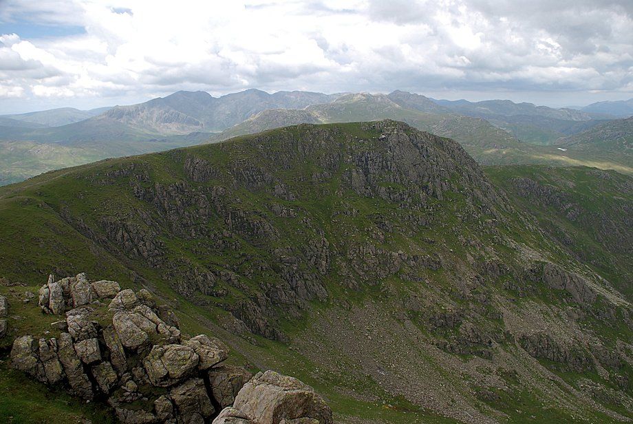
| Coniston Old Man, Brim Fell and Dow Crag from the summit of Swirl How |
 |
| Looking south-west, Black Combe, Buck Barrow, Whit Fell, Stainton Pike and Yoadcastle form the horizon |
 |
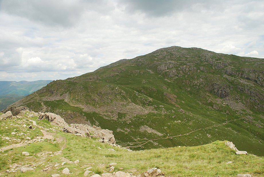
| Grey Friar from the summit of Swirl How |
 |
| Great Carrs from the summit of Swirl How |
