
| Tarn Crag - Route One |
| Start - Grasmere NY 337 073 | Distance - 3.2 miles | Ascent - 1,720 feet | Time - 2 hours : 05 minutes |
 |
|
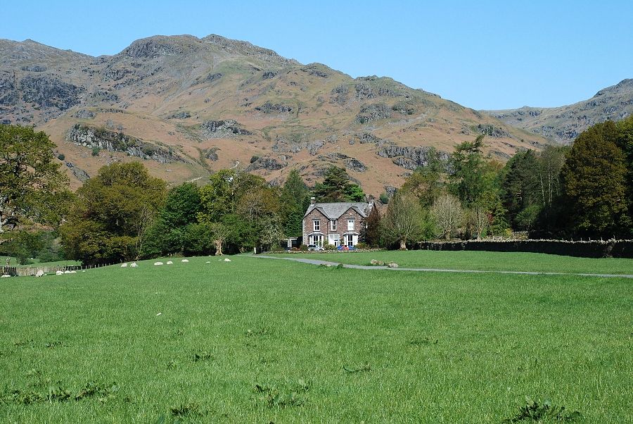
Tarn Crag from the unenclosed road in Easedale |
 |
|
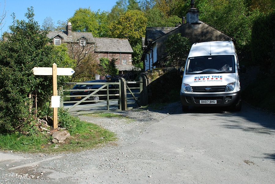
The road ends at a farm lane where a footpath sign indicates a right turn to Far Easedale and Helm Crag |
 |
| A short cobbled lane leads via a gate to another signpost - right for Helm Crag and straight on for Far Easedale |
 |
| Looking across to Sour Milk Gill and the path leading to Easedale Tarn from the bridleway to Far Easedale |
 |
|
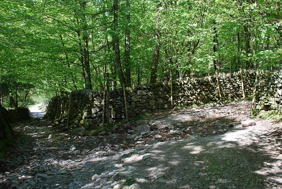
The bridleway reaches the narrow lower reaches of Far Easedale running close by Far Easedale Gill |
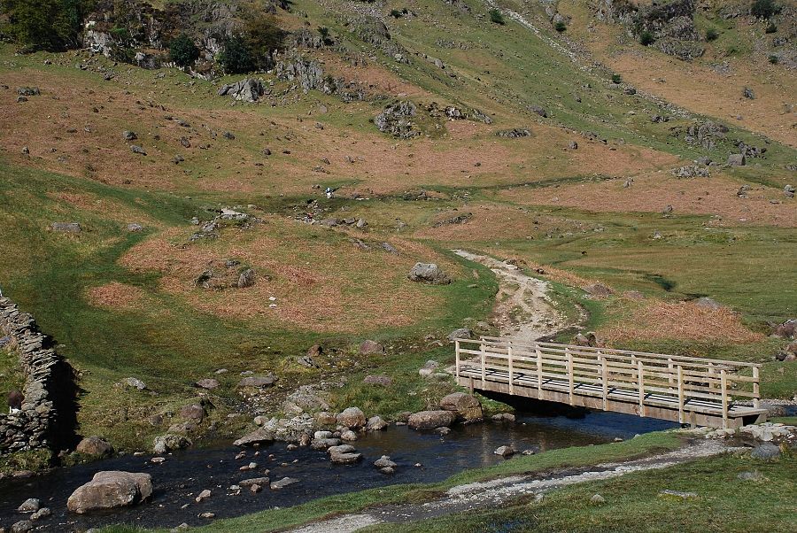 |
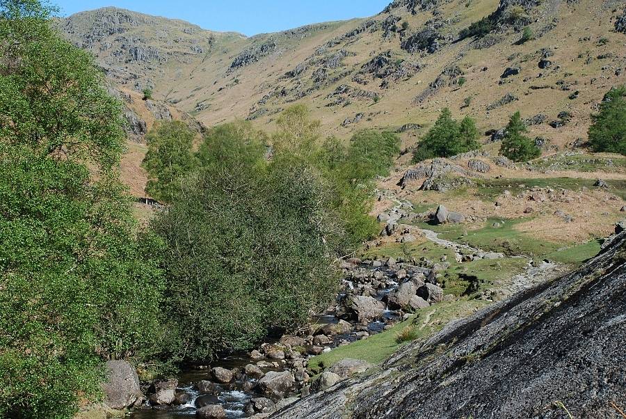
| The footbridge at Stythwaite Steps. The main path continues on heading for Stonethwaite in Borrowdale via Greenup Edge, a left branch turns off towards Easedale Tarn and the east ridge of Tarn Crag |
 |
|
The east ridge of Tarn Crag from the same point. The path turns up to run beside the wall and joins the ridge on the left skyline |
 |
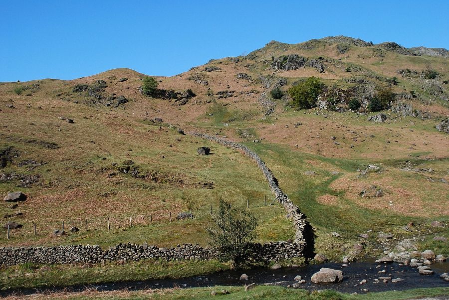
| Following the wall to the base of the east ridge, the path is well used as an alternative route to the one usually taken from Grasmere to Easedale Tarn |
 |
|
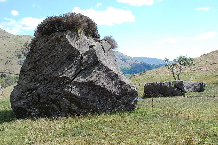
AW made a note and sketch of these two " interesting boulders " in his diagram of this ascent, they can be seen on the left just as the wall makes a sharp turn. The larger rock has a luxuriant growth of heather on its top while the smaller has a tree growing in a large fissure. The walking pole has been extended to a height of three feet to give an impression of their size. |
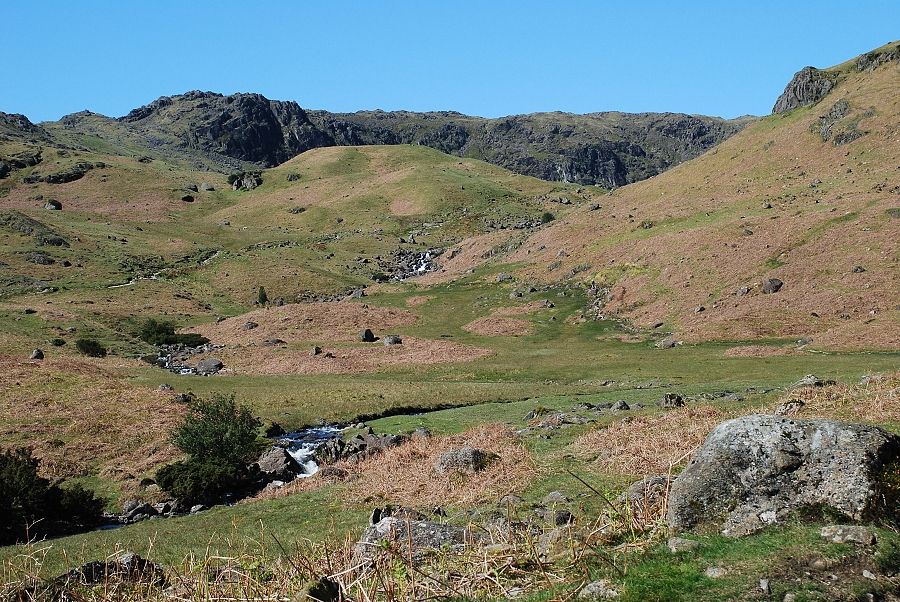 |
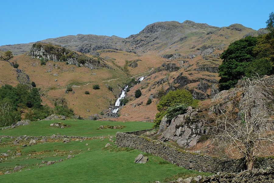
| The path levels out as it begins to cross a shallow comb. Easedale Tarn lies beyond the moraines at its head. The climb towards the east ridge of Tarn Crag begins at this point |
 |
|
The east ridge from the start of the ascent path |
 |
|
Part of Easedale Tarn comes into view on the start of the climb to the east ridge |
 |
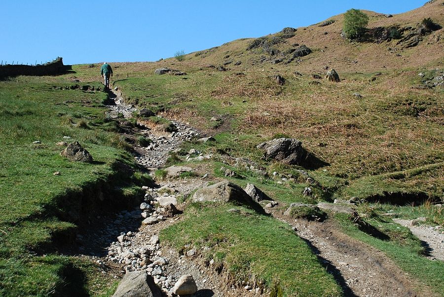
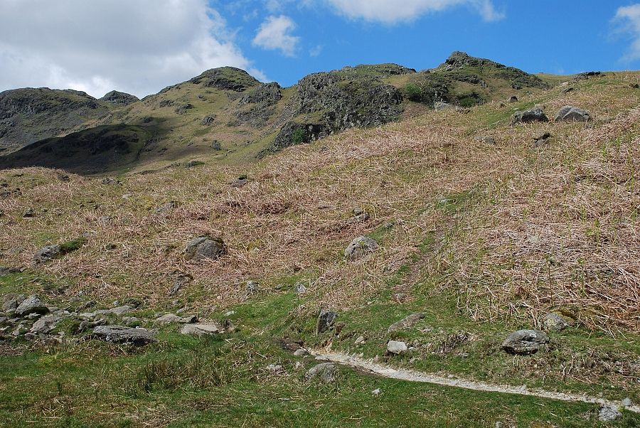
| The path is somewhat indistinct in its lower reaches but soon improves as it gains the spine of the ridge |
 |
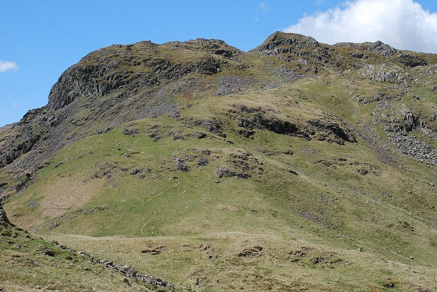
| Looking down the lower part of the ridge. The shattered rocks on the lower left form the rock tor that AW noted on his diagram and the "interesting boulders" can be seen beside the wall below it |
 |
| Blea Rigg above Easedale Tarn from the climb along Greathead Crag |
 |
| Higher up the tops of the Langdale Pikes come into view above the Blea Rigg ridge |
 |
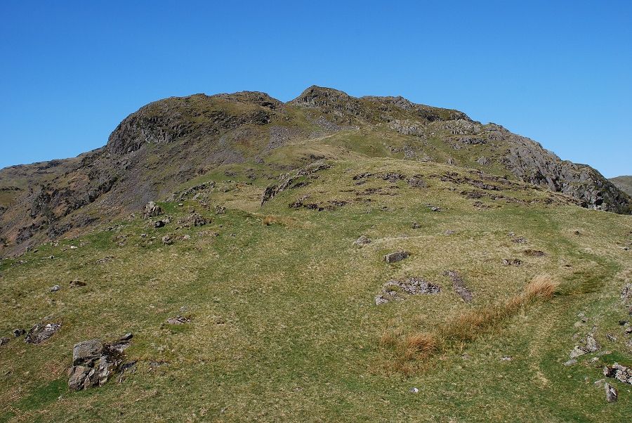
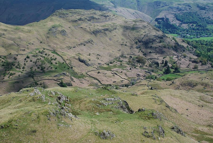
| From Greathead Crag the ridge falls to a wide col where another path joins it from Easedale Tarn. The large crag on the left is very prominent when seen from the tarn and gives the fell its name, the actual summit is on its right |
 |
| Looking back along the ridge from the top of Greathead Crag |
 |
|
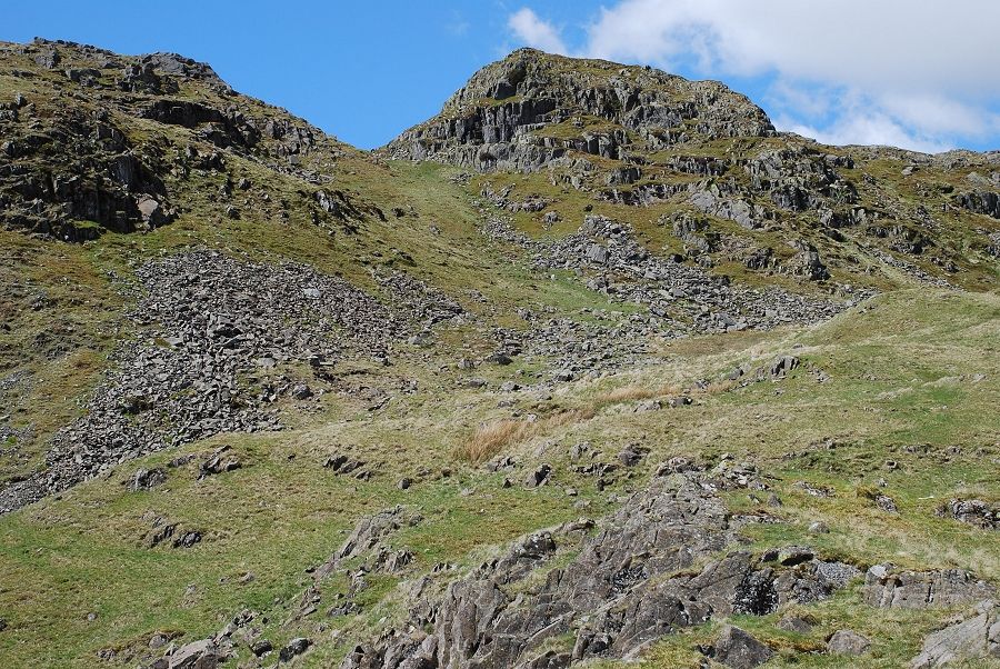
The summit is approached by an open grass gully that leads to a col |
 |
|
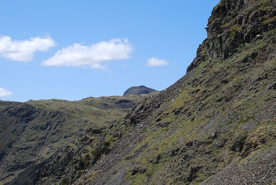
Harrison Stickle seen on the steep climb up the gully |
 |
|
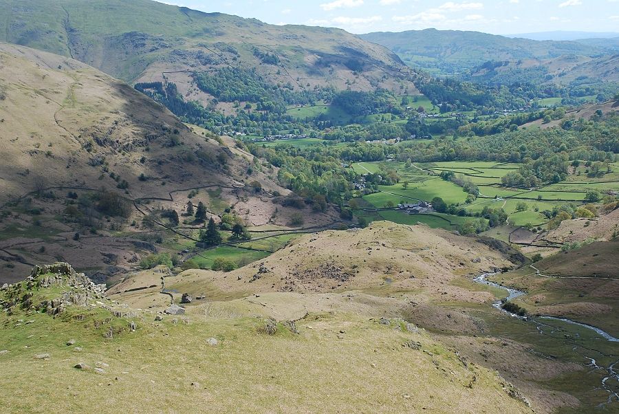
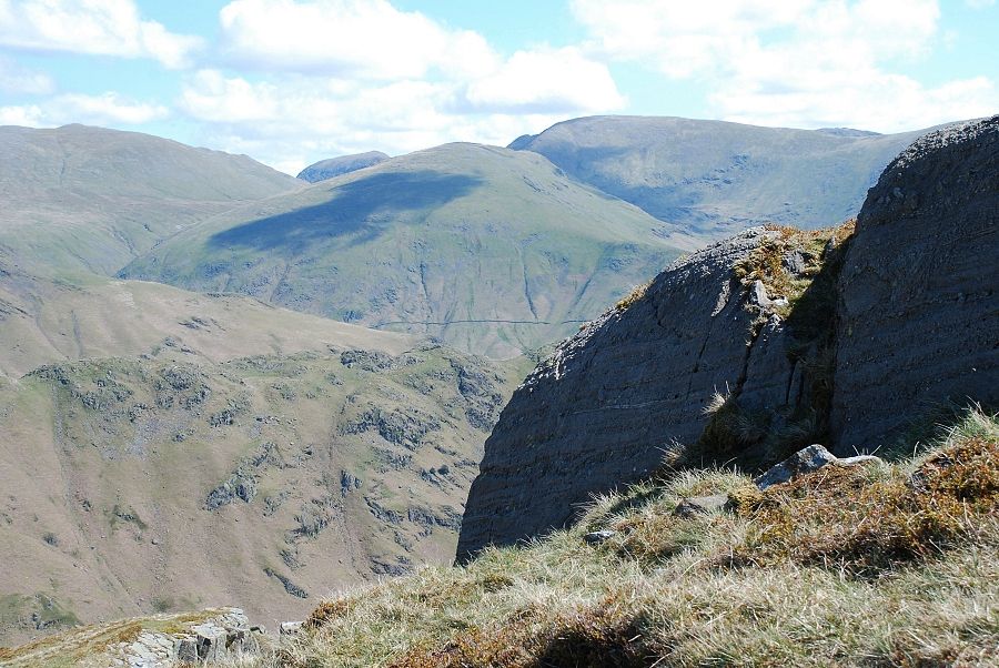
Looking back from the top of the gully to the Eastern Fells on the skyline |
 |
|
And from the same position across the summit crag to Helvellyn |
 |
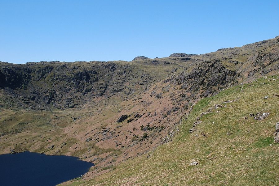
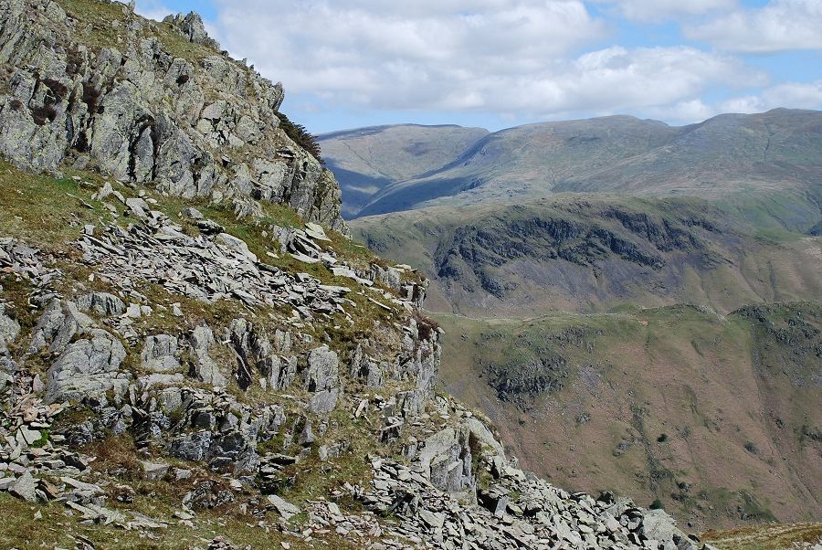
| Looking down the ridge from the top of the col |
 |
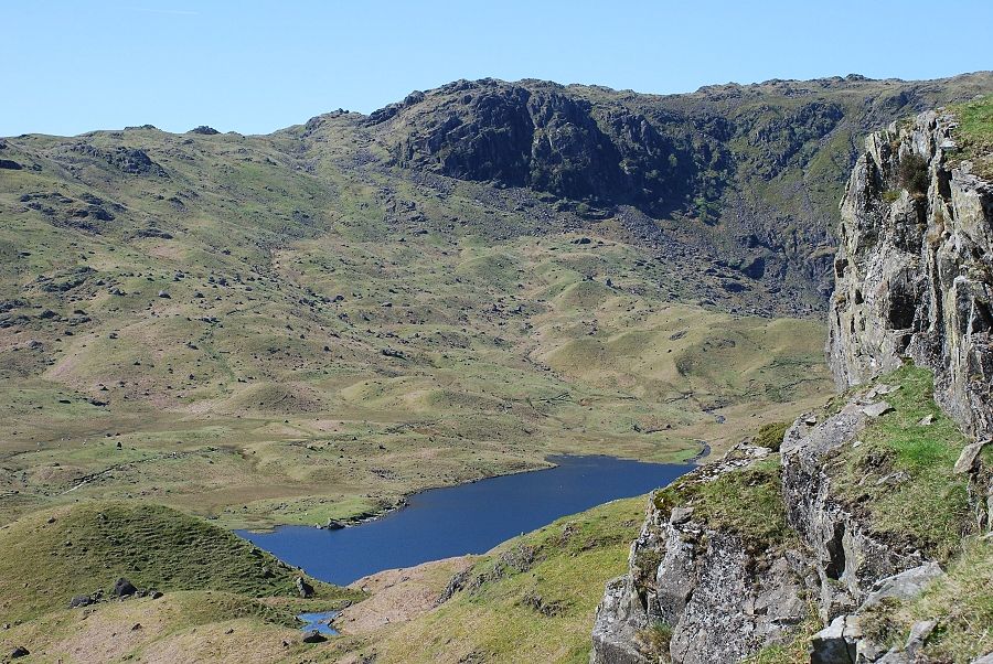
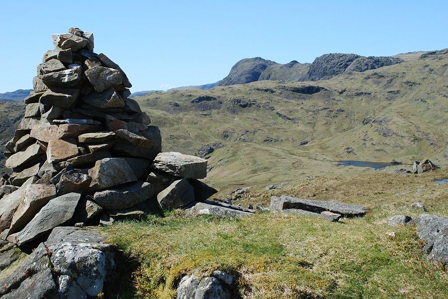
| On the top of the prominent crag to the left of the col is a fine cairn which marks a viewpoint for Easedale Tarn. The tarn cannot be seen from the actual summit, so it is well worth making the short diversion to the cairn |
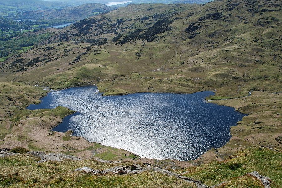 |
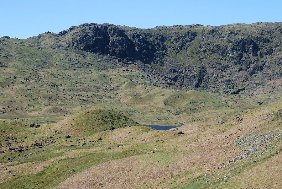
| Easedale Tarn from the viewpoint cairn |
 |
| The Langdale Pikes and Codale Tarn from the viewpoint |
 |
|
The summit of Tarn Crag. The tiny cairn is even smaller than the one AW drew and it has been moved to the left of its original position |
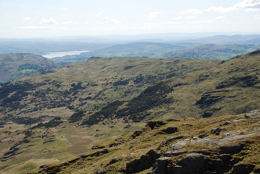 |
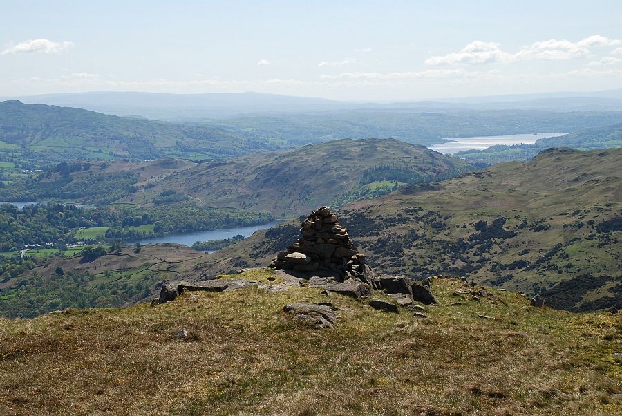
| Only part of Windermere is visible from the summit appearing above Loughrigg Fell and Silver How |
 |
| The Coniston Fells over Blea Rigg |
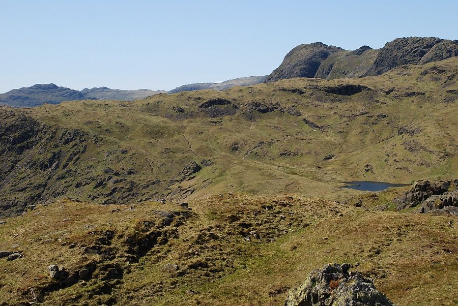 |
| Pike o' Blisco and Cold Pike in the distance on the left with Harrison Stickle and Pavey Ark on the right |
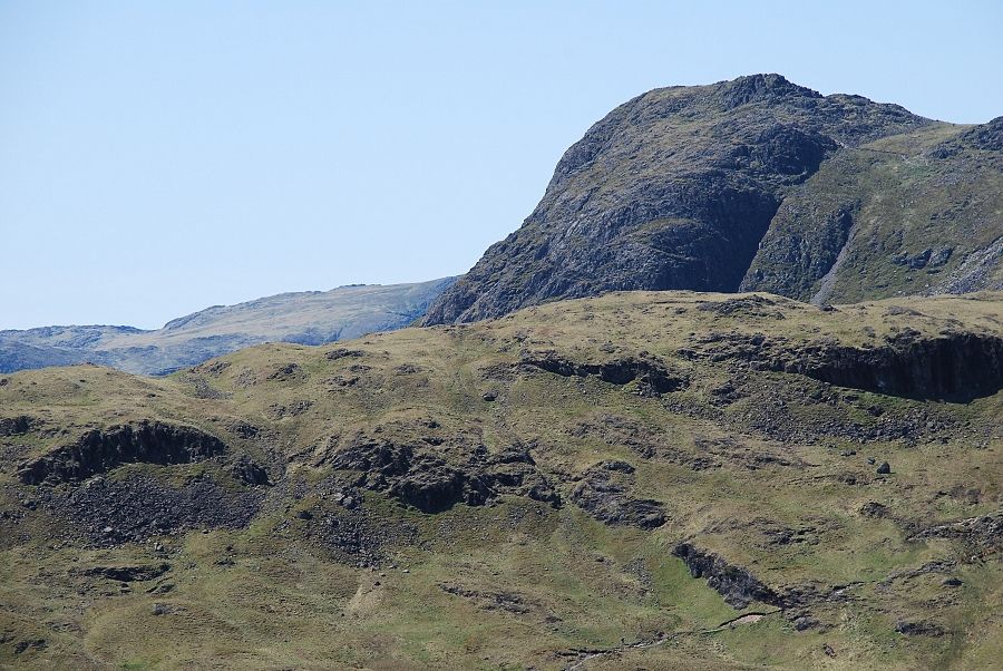 |
| A closer look of the steep eastern face of Harrison Stickle |
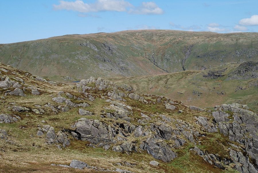 |
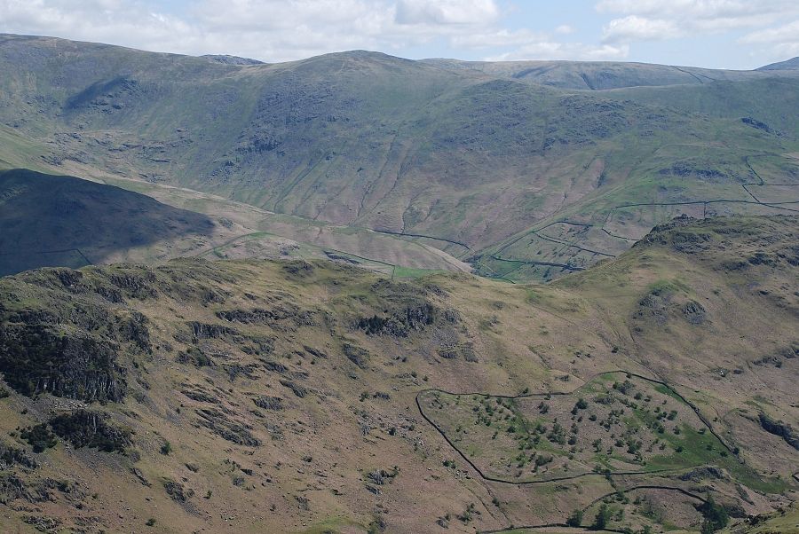
| Looking north to Ullscarf, the summit of Calf Crag in the right middle distance |
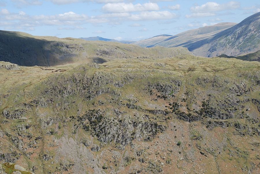 |
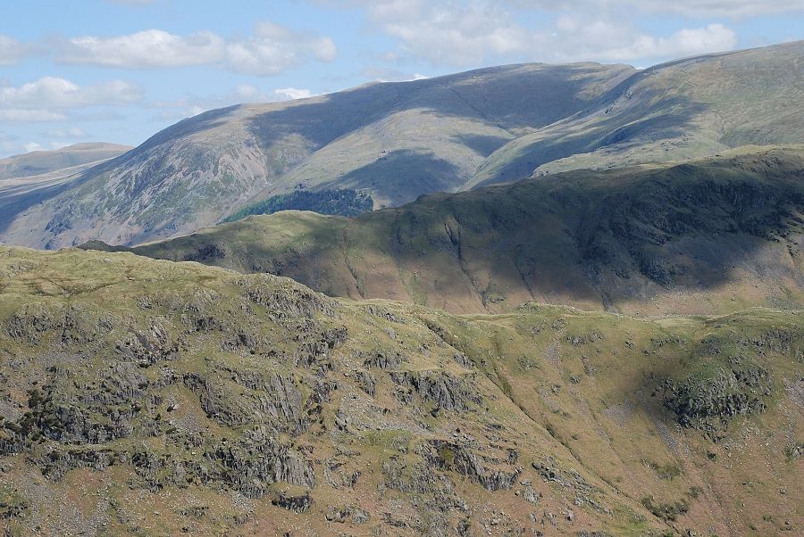
| Blencathra in the distance above the Castle Crag ~ Nab Crags ridge with Clough Head and Great Dodd to the right |
 |
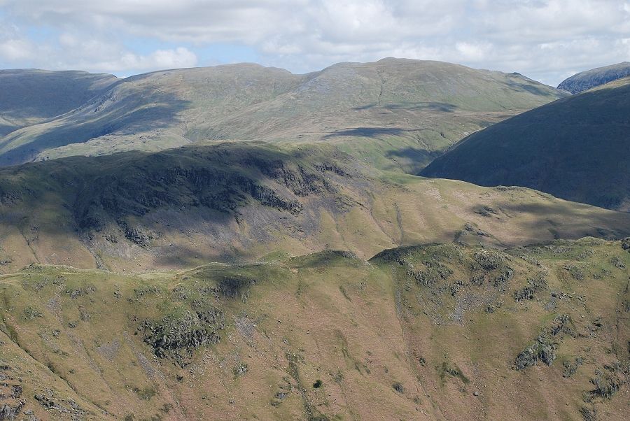
| Helvellyn over Steel Fell and Pike of Carrs |
 |
| Helvellyn, Nethermost Pike and Dollywaggon Pike on the skyline |
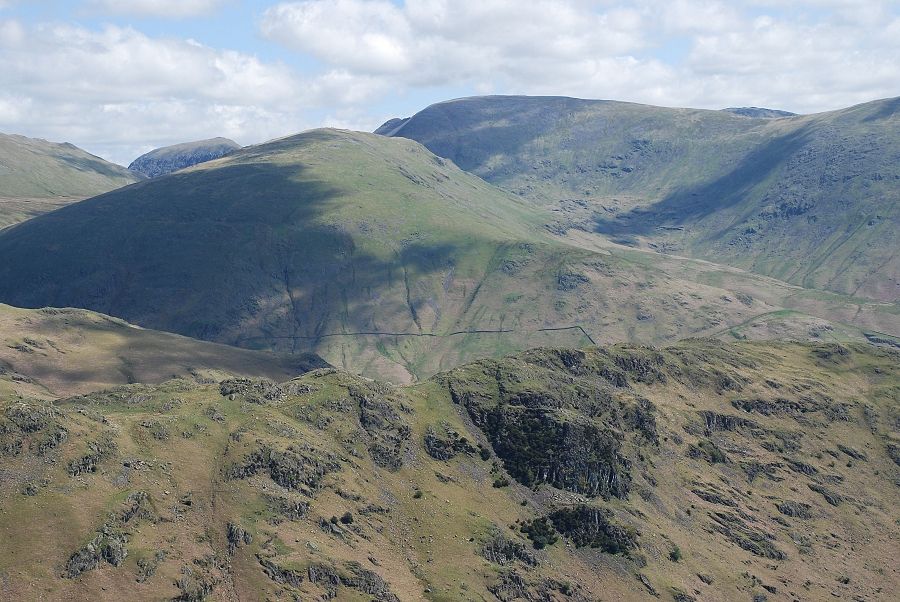 |
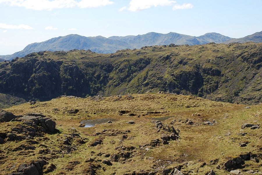
| Seat Sandal over Gibson Knott, St. Sunday Crag on its left and Fairfield to the right |
 |
| The dome like summit of Great Rigg, part of the popular Fairfield Horseshoe |
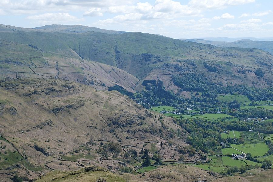 |
| Looking over the ridges of Helm Crag, Stone Arthur, Heron Pike and Dove Crag to Red Screes on the horizon |
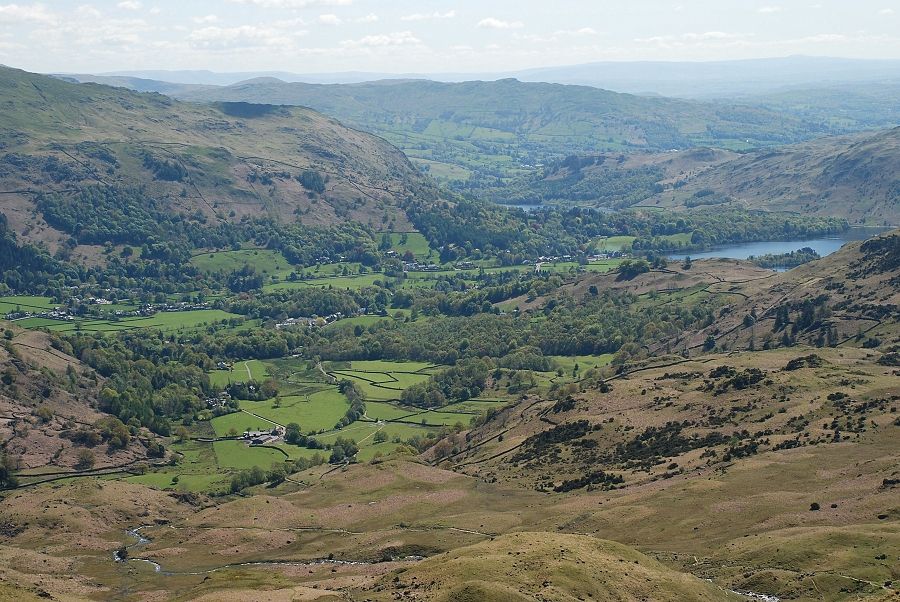 |
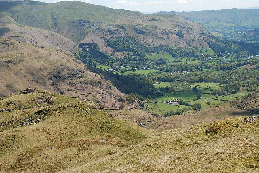
| The view back to Grasmere with a glimpse of Rydal Water |
|