
| The Knott - Route One |
| Start - Hartsop NY 409 131 | Distance - 2 miles | Ascent - 1,850 feet |
Time - 1 hour : 45 minutes |
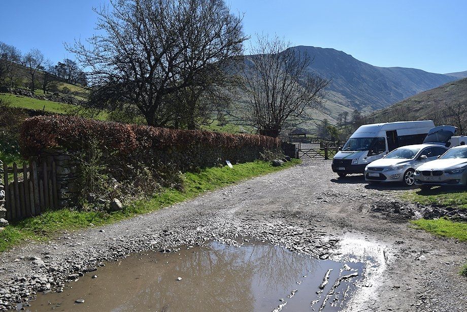 |
| Hartsop car park at the start of the walk |
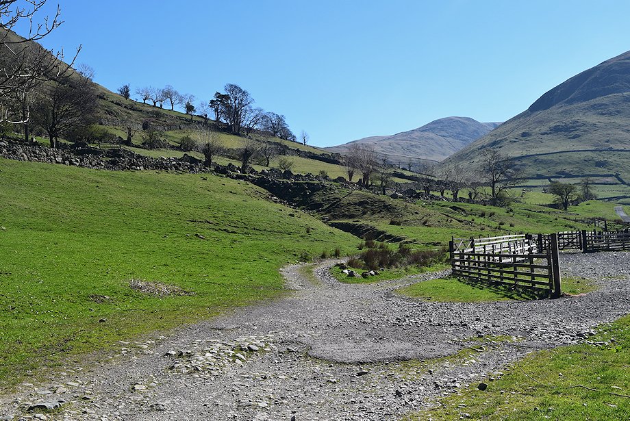 |
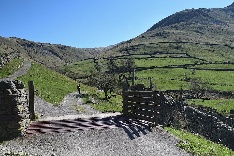
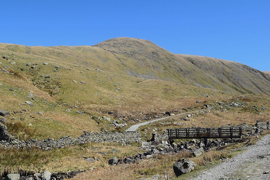
| The Knott from the gate at the end of the car park. The path passes some sheep pens and continues onto the Hayeswater access road |
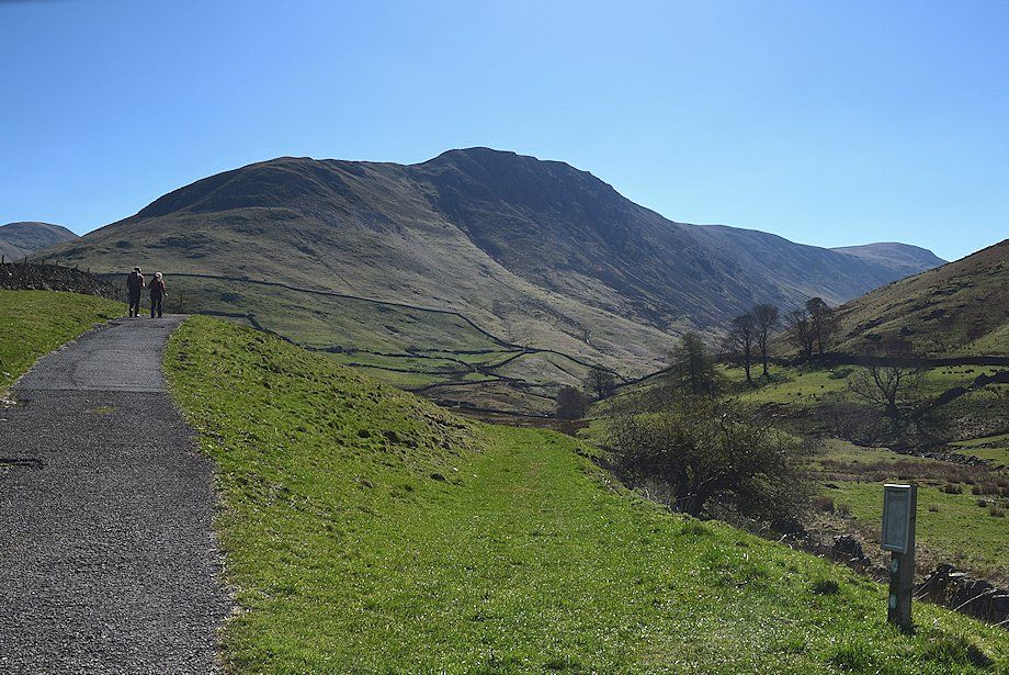 |
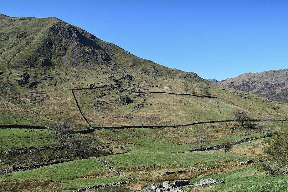
| Gray Crag and Thornthwaite Crag from the road to Hayeswater with the summit of The Knott on the extreme left |
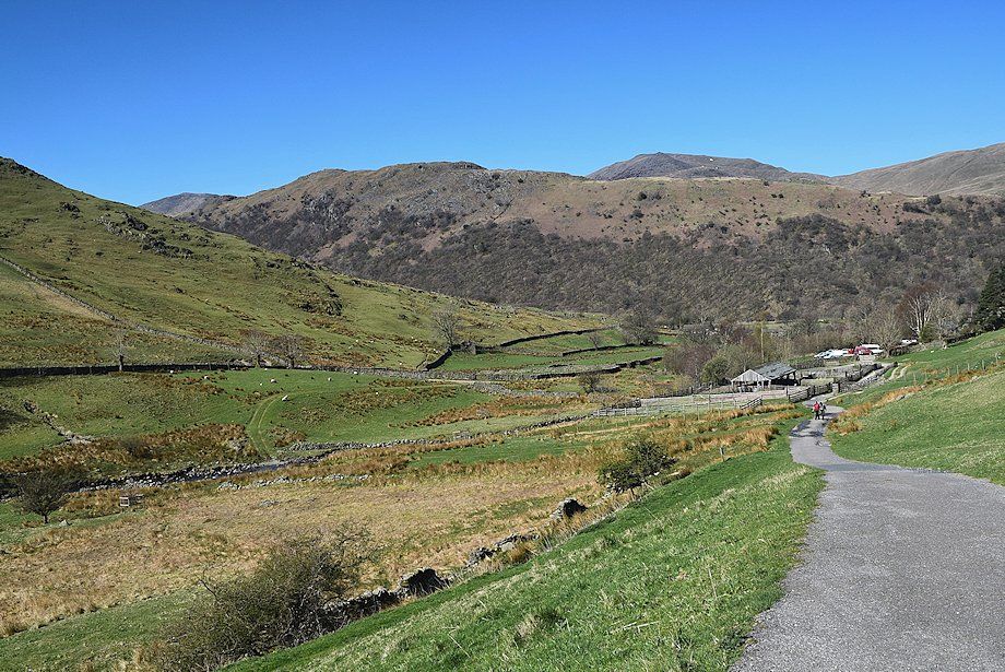 |
| Looking back to the car park |
 |
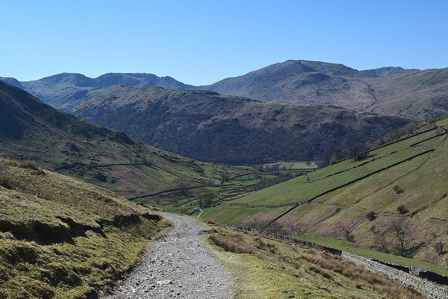
| Looking over to the north ridge of Hartsop Dodd |
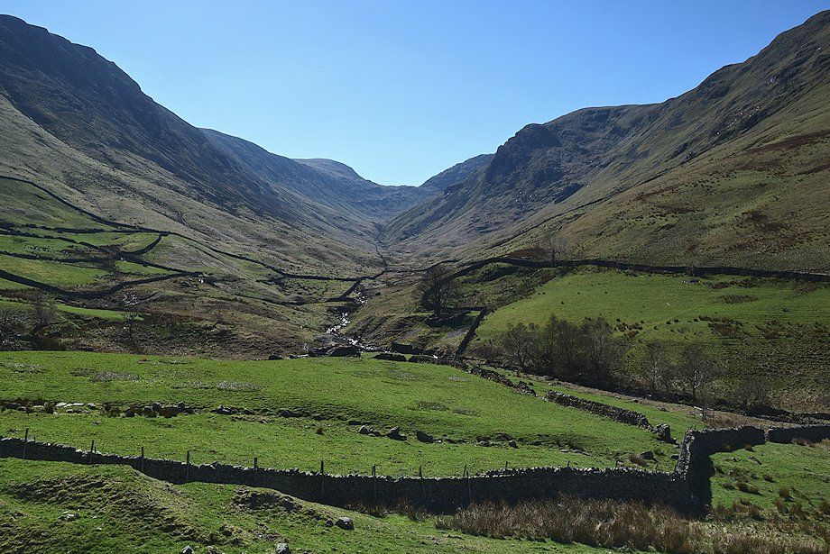 |
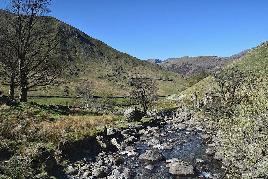
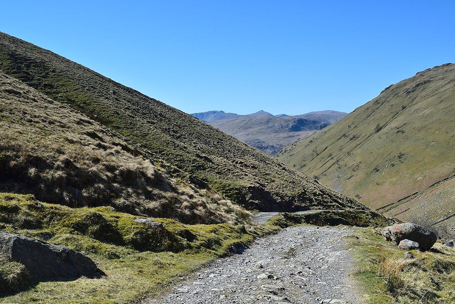
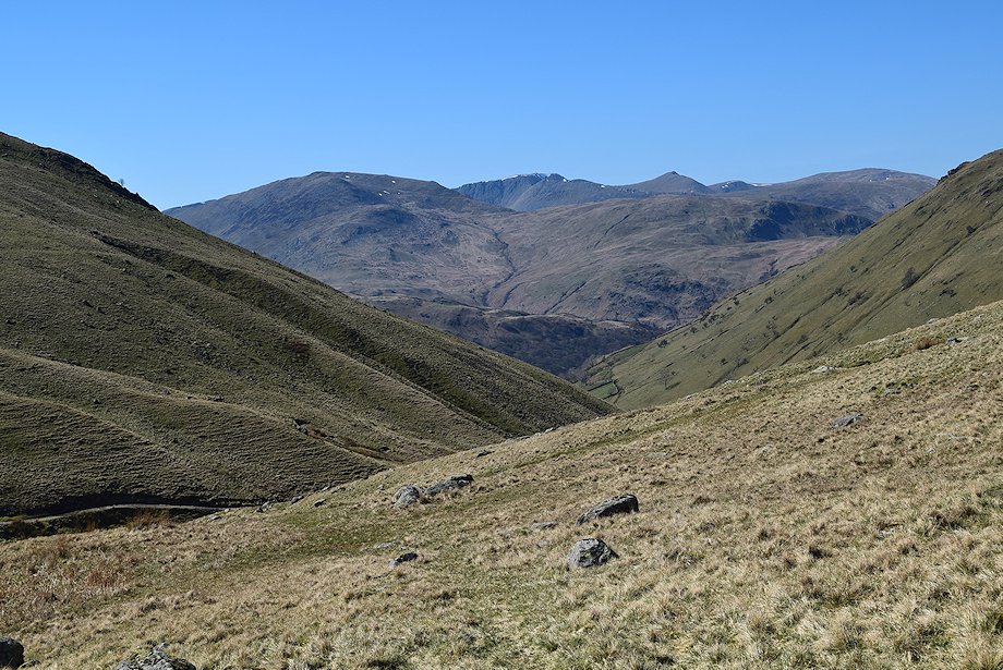
| The valley of Pasture Beck leading up to Threshthwaite Mouth at its head |
 |
| The road divides beyond a cattle grid, the left branch begins to climb to the reservoir filter house, the right branch continues on as a rough track which descends and crosses Hayeswater Gill by Wath Bridge |
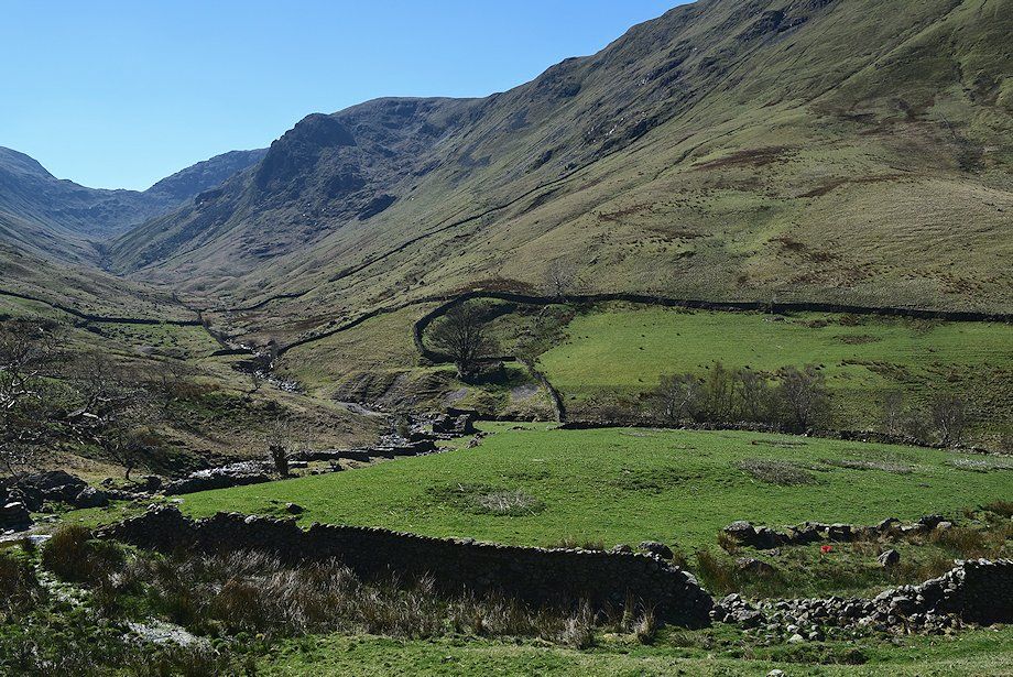 |
| Looking over to the ruins of the Myers Head Lead Mine |
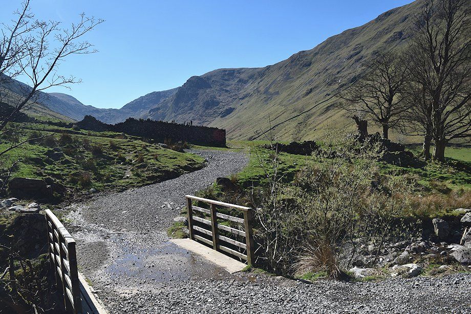 |
| Crossing Wath Bridge over Hayeswater Gill |
 |
| The north ridge of Hartsop Dodd from Wath Bridge |
 |
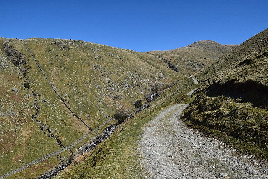
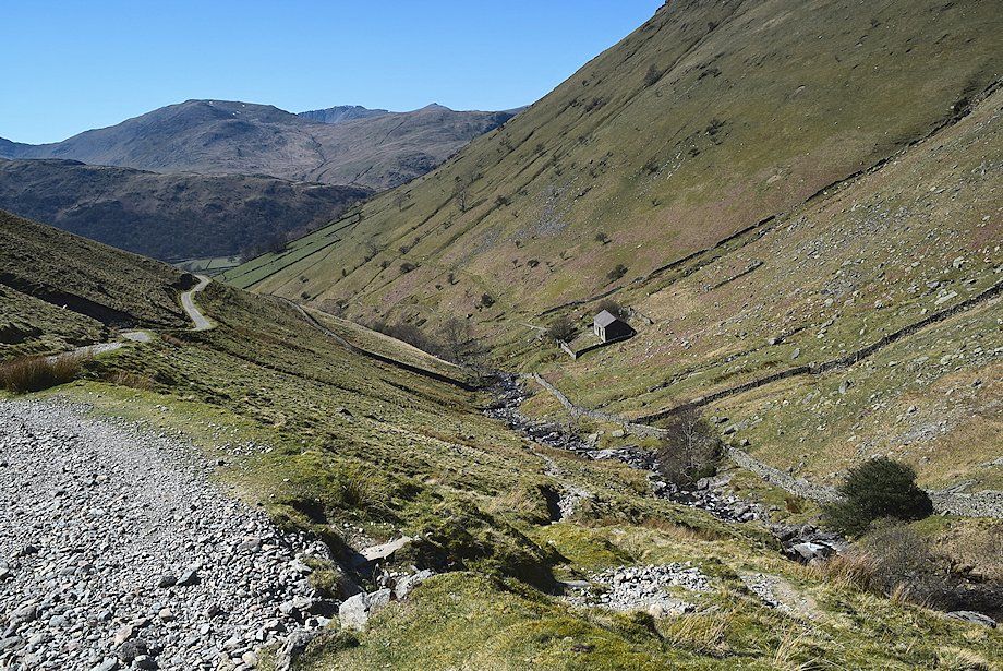
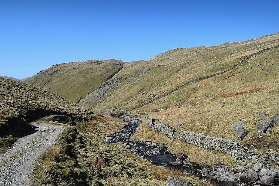
| Above Wath Bridge the rough track begins to climb along the northern slopes of Gray Crag towards Hayeswater |
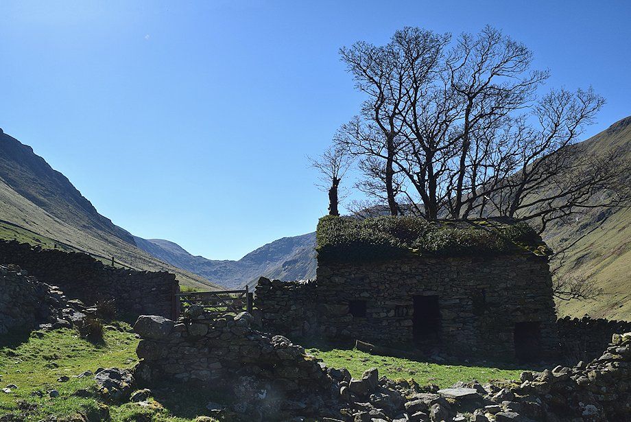 |
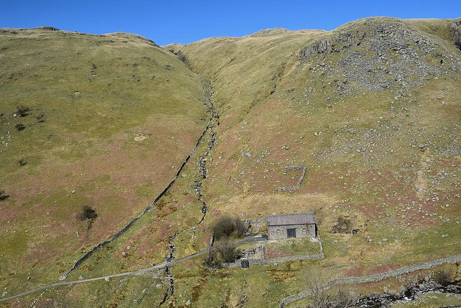
| The old field barn above Wath Bridge |
 |
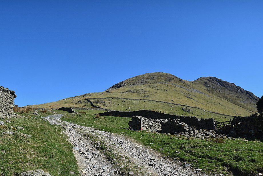
| The Knott from the Hayeswater access track |
 |
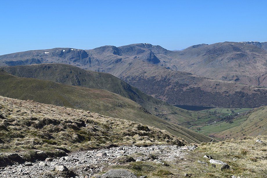
| Looking back, Hart Crag and Fairfield over the Hartsop above How ridge on the left, with St. Sunday Crag and the summit of Helvellyn on the right |
 |
| Looking down on the filter house. The building is now redundant, Hayeswater ceased to be a reservoir in 2005 and its dam has now been removed |
 |
| A little higher on the access track, a path which rises from the filter house joins it |
 |
| A new footbridge has been constructed 250 yards below Hayeswater. This replaces the old one which was removed along with the dam. If the stream is in spate it is advisable to cross it here |
 |
| Looking back Helvellyn, Catstycam, White Side and Raise form the horizon between the slopes of Gray Crag and Brock Crags |
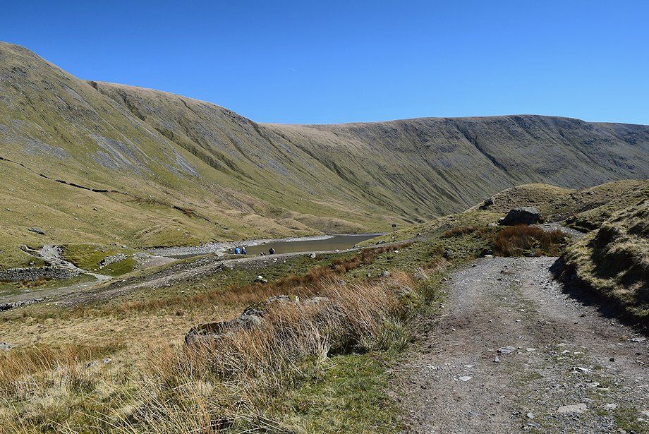 |
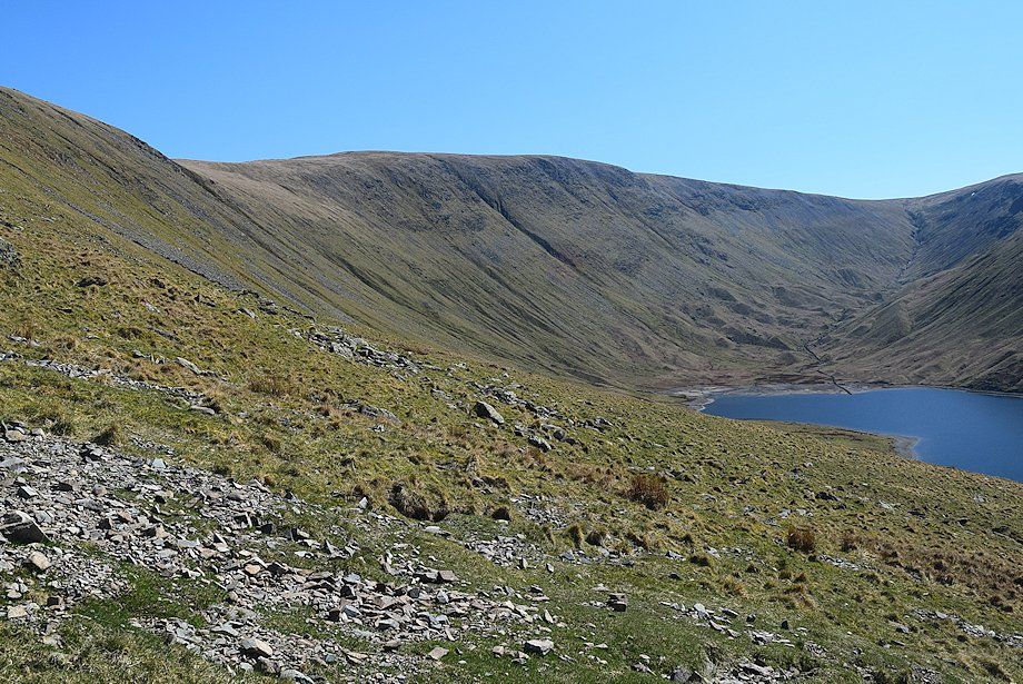
| Approaching Hayeswater and the site of the former dam |
 |
| Looking back to Brock Crags and Satura Crag |
 |
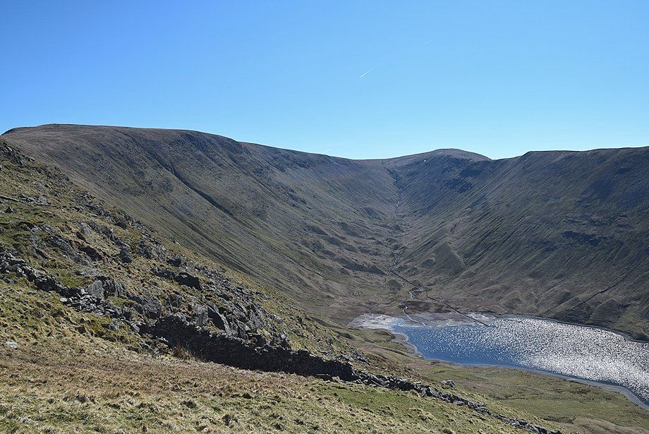
| The Knott from the site of the old dam |
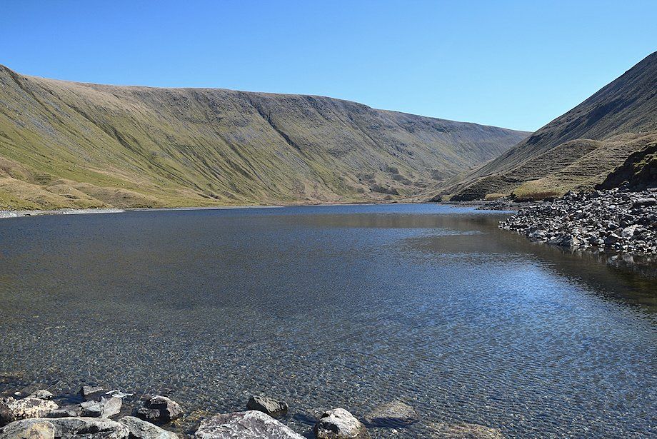 |
| Hayeswater backed by the High Street ridge |
 |
| The start of the ascent from Hayeswater to The Knott |
 |
| Looking over to St. Sunday Crag, Helvellyn, Catstycam, White Side and Raise |
 |
| Looking over to Brock Crags and Satura Crag |
 |
| High Street and the head of Hayeswater |
 |
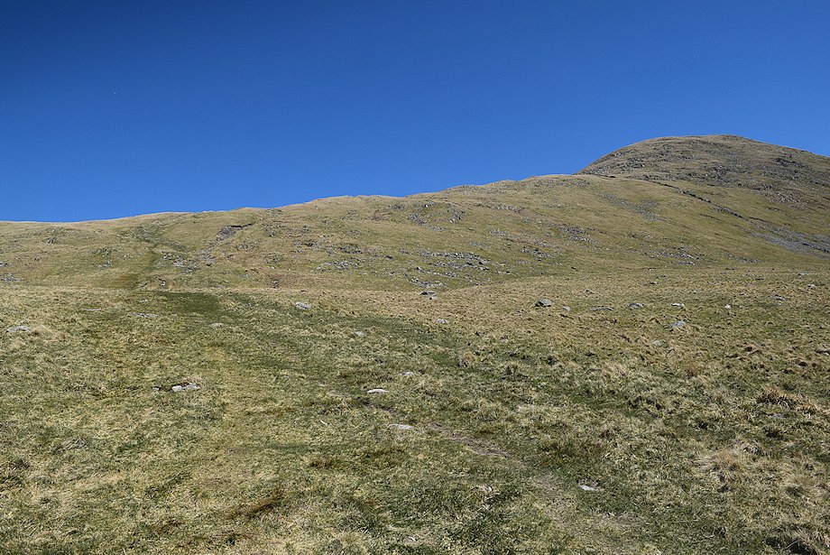
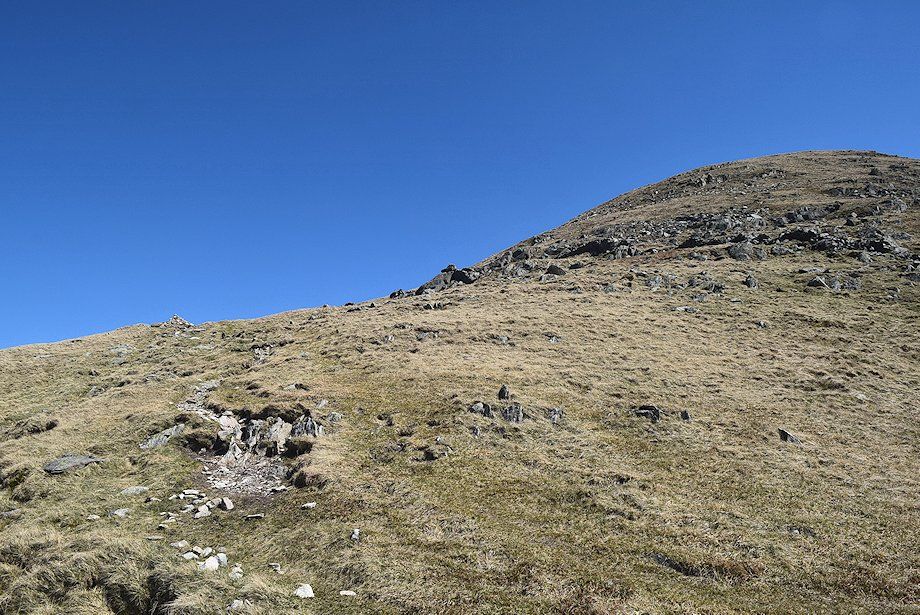
| After a steady climb of the open grassy slope above Hayeswater the path takes a zig-zag course below the summit dome of The Knott |
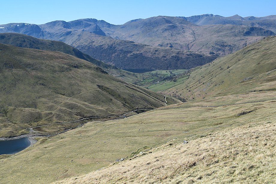 |
| Looking back to Brothers Water and Hartsop |
 |
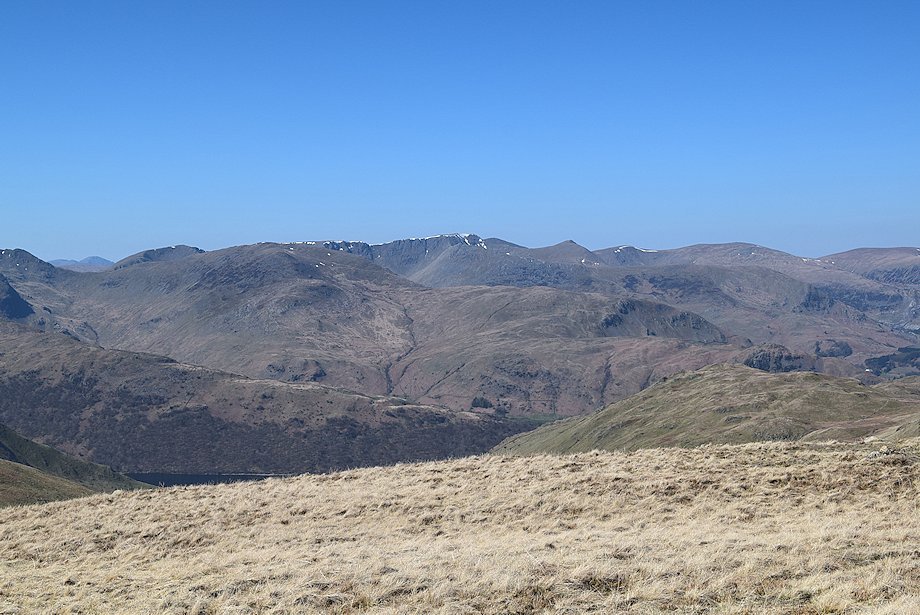
| The Helvellyn Dodds and Blencathra |
 |
| High Street and Thornthwaite Crag above the upper valley of Hayeswater Gill |
 |
| The path reaches the ridge-line at a prominent cairn, where it joins a major path coming up from Patterdale which is part of the Coast to Coast route |
 |
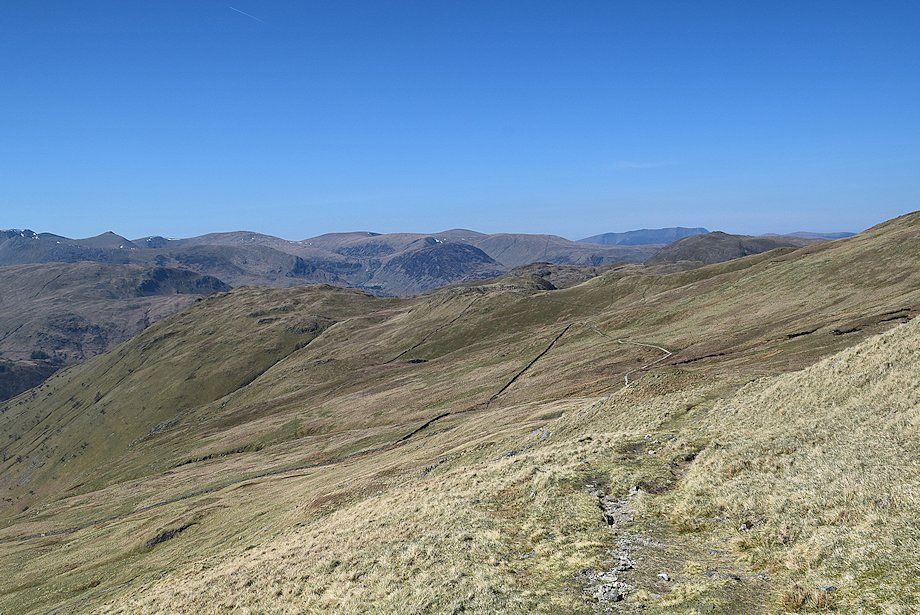
| Looking back from the Coast to Coast path |
 |
| Rest Dodd and The Nab from the Coast to Coast path |
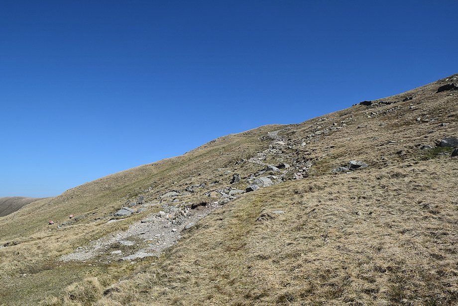 |
| Continuing on the Coast to Coast path as it climbs across the north-western slopes of The Knott |
 |
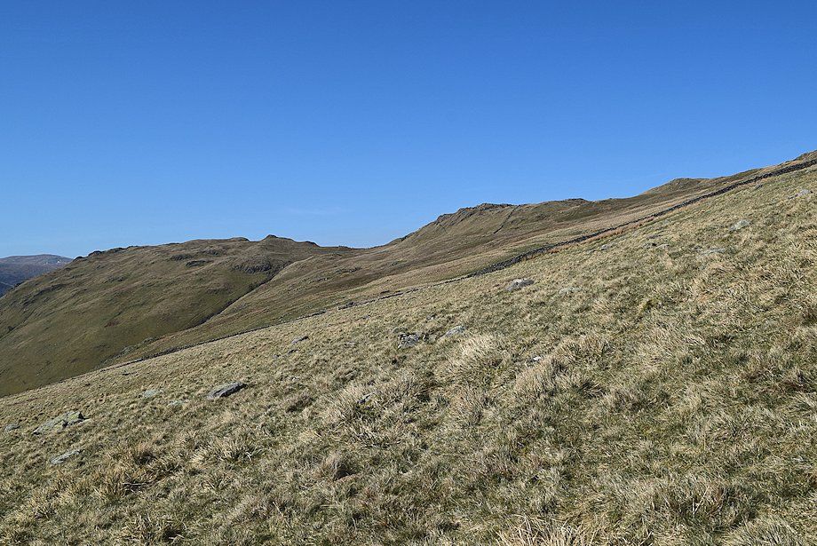
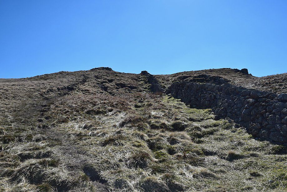
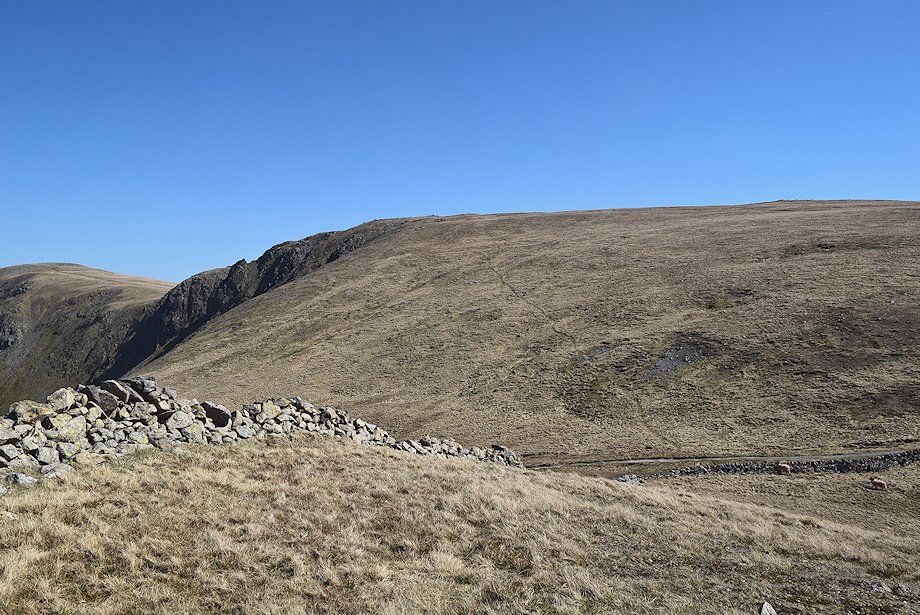
| The Coast to Coast path is only followed to a point where it reaches a ruined wall |
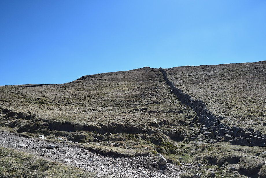 |
| The route to the summit of The Knott turns off the Coast to Coast path and follows the line of the wall |
 |
| Rest Dodd from the Coast to Coast path |
 |
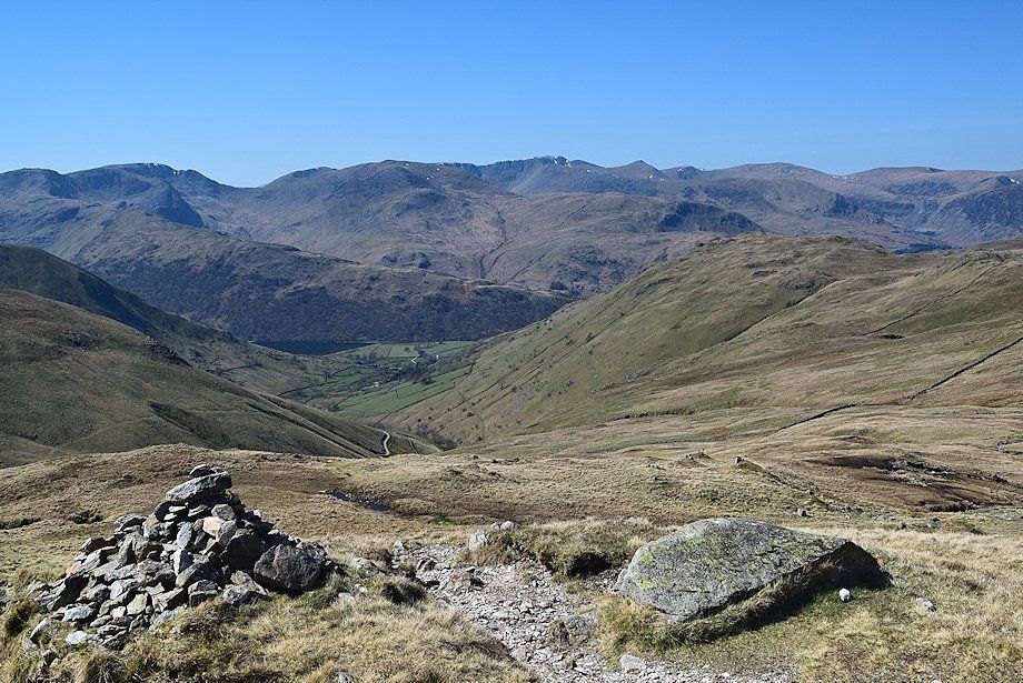
| Brothers Water and Hartsop from the Coast to Coast path |
 |
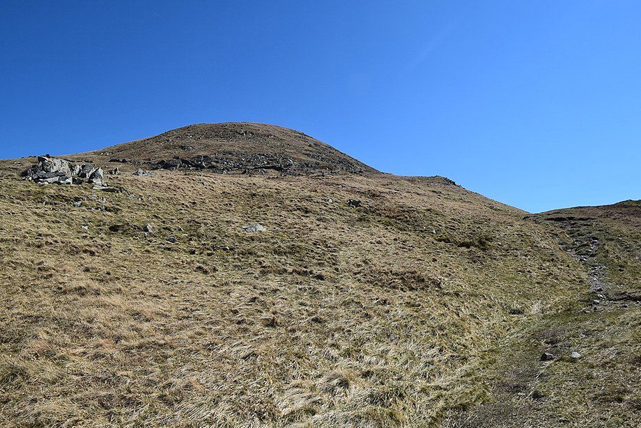
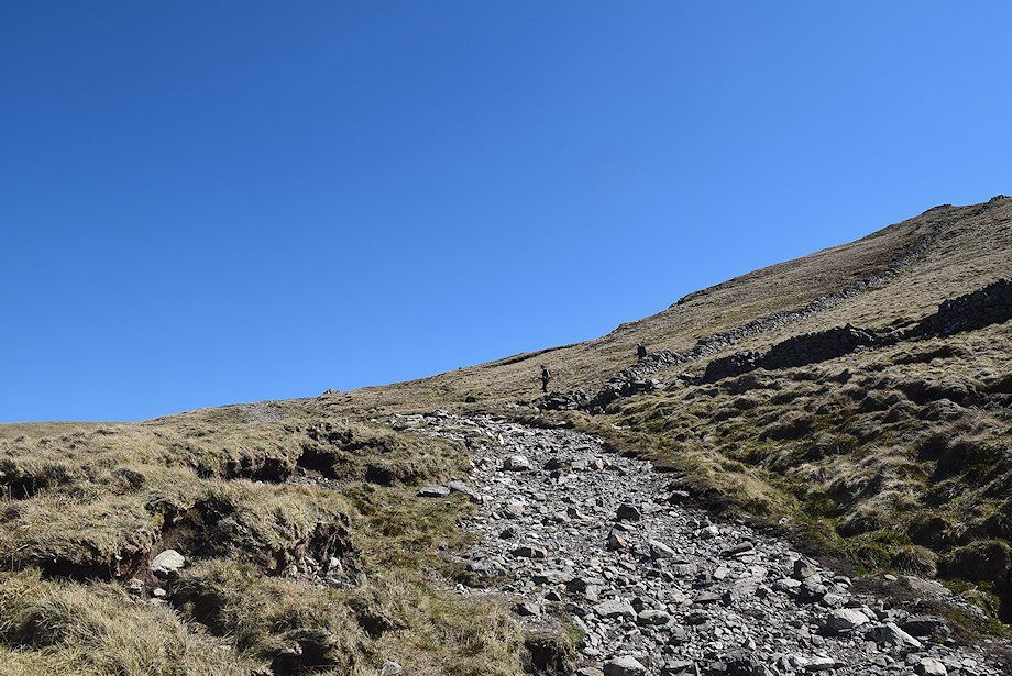
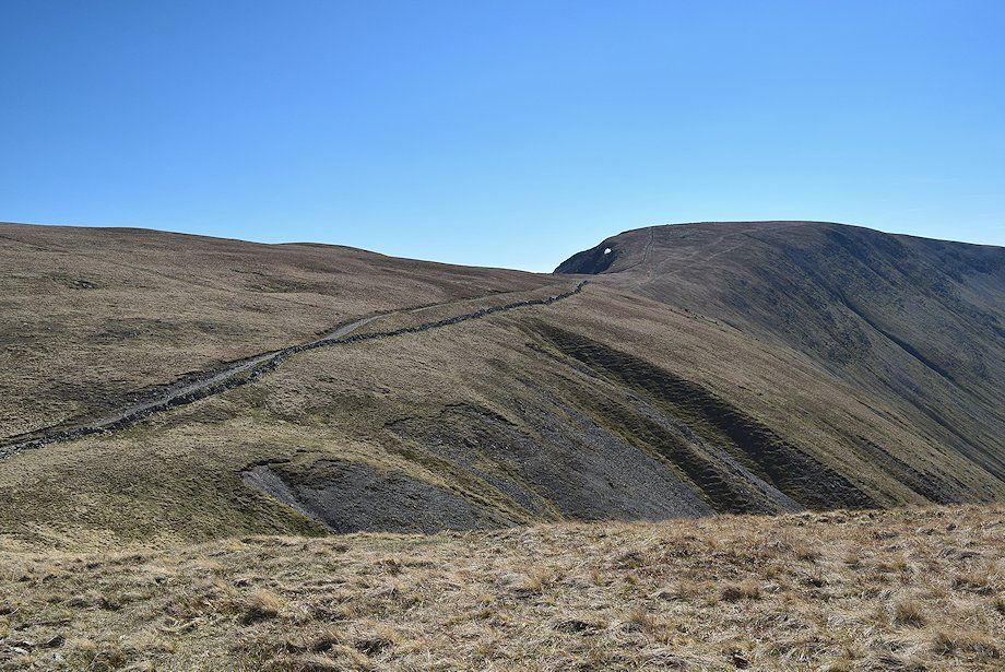
| The path to the summit of The Knott |
 |
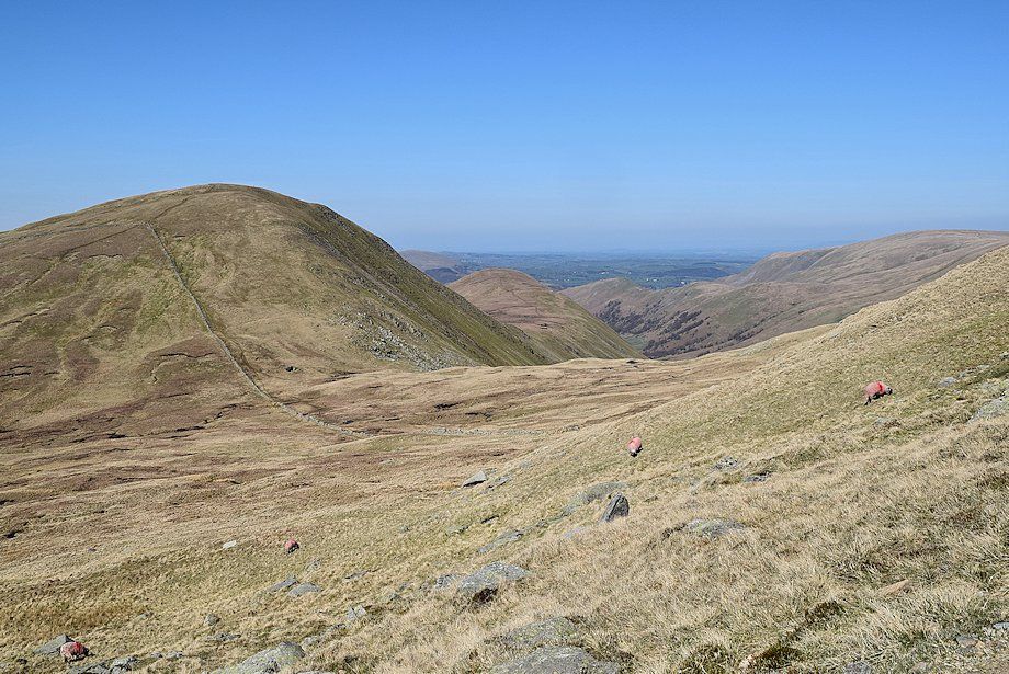
| Looking across to High Raise and Rampsgill Head |
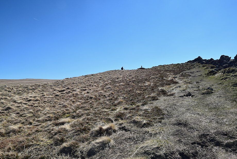 |
| The summit cairn soon comes into view |
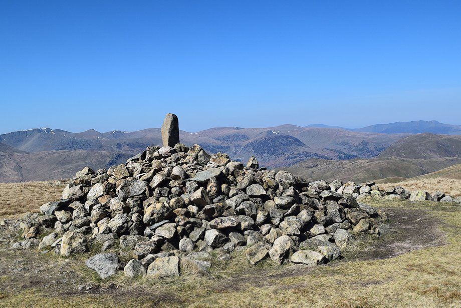 |
| The summit cairn on The Knott |
 |
| High Raise from the summit of The Knott |
 |
| Rampsgill Head from the summit of The Knott |
 |
| The Straits of Riggindale and High Street from the summit of The Knott |
 |
| Thornthwaite Crag from the summit of The Knott |
 |
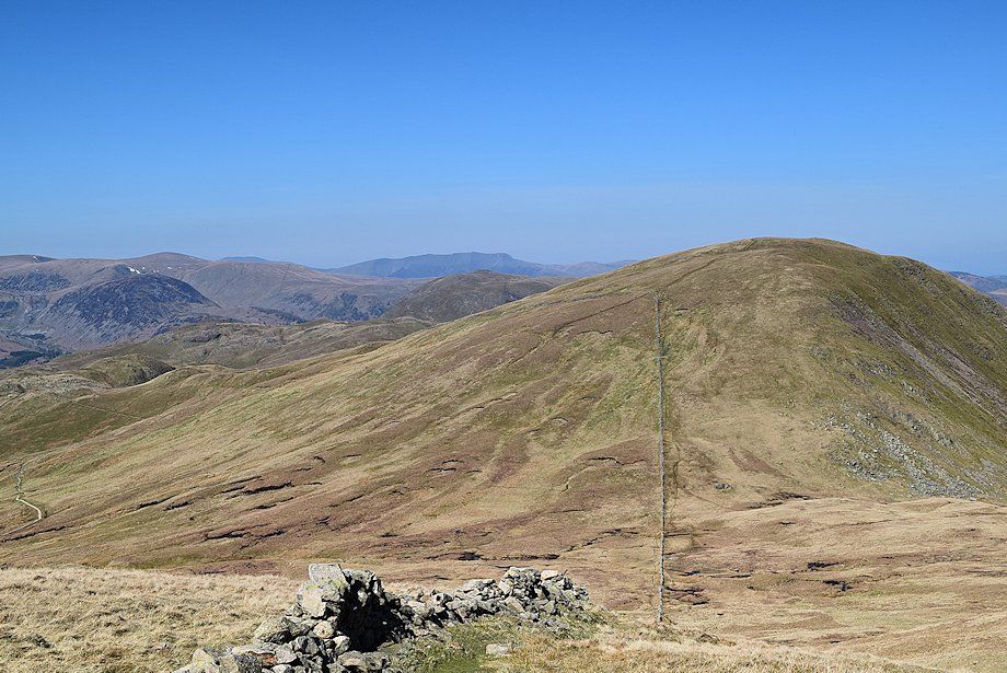
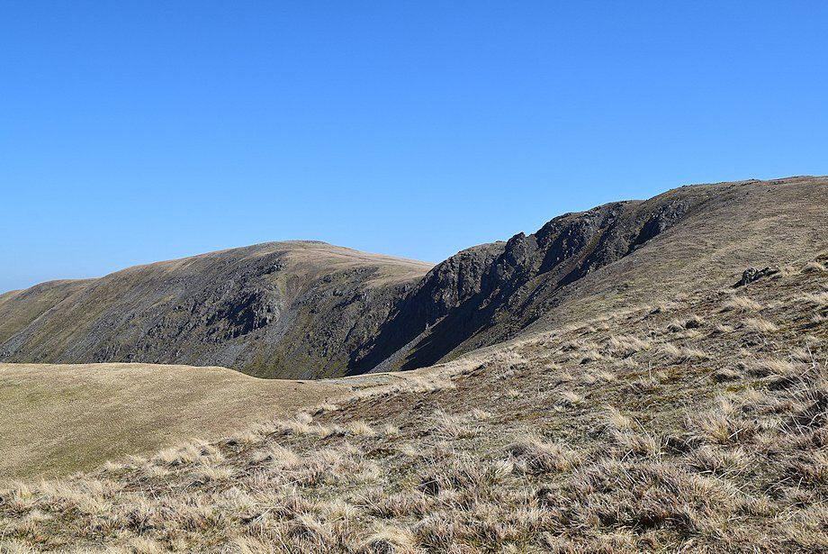
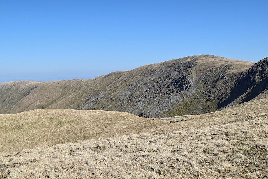
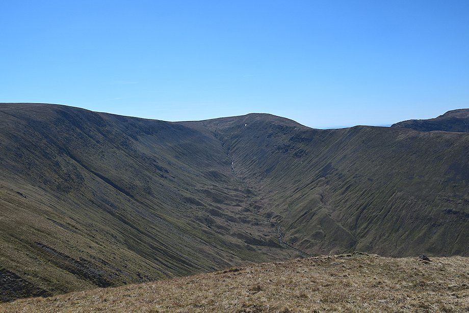
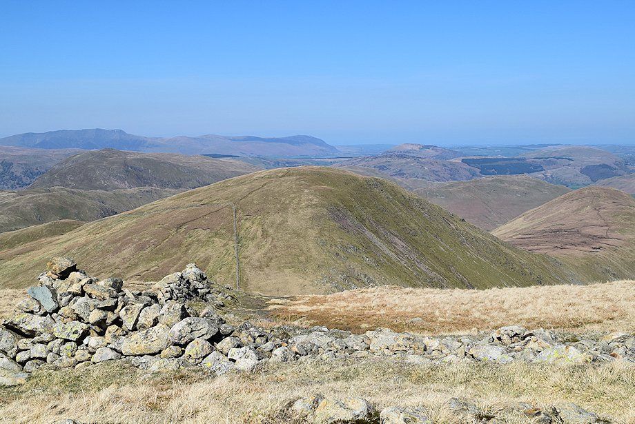
| Caudale Moor over the summit ridge of Gray Crag |
 |
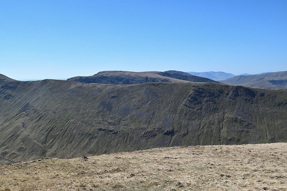
| Dove Crag and Fairfield over the northern ridges of Gray Crag and Hartsop Dodd |
 |
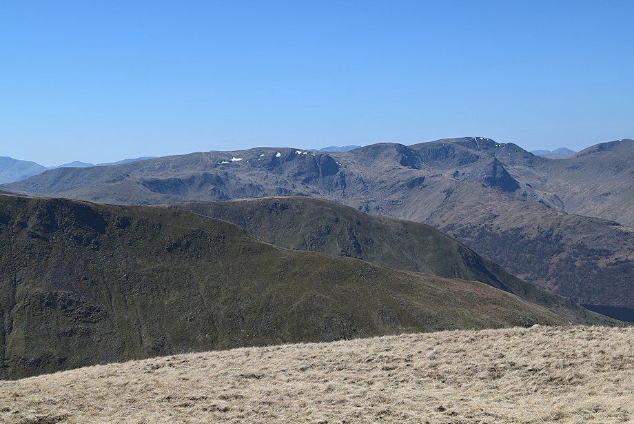
| The Helvellyn group of fells from the summit of The Knott |
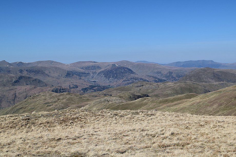 |
| Looking north west, Skiddaw and Blencathra appear on the distant horizon |
 |
| Rest Dodd from the summit of The Knott |
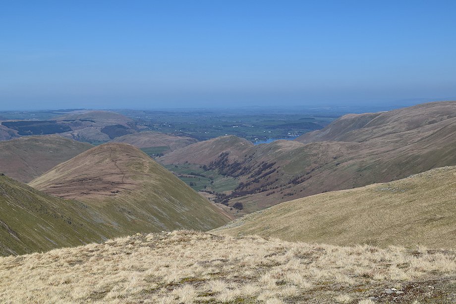 |
| Martindale and a glimpse of Ullswater from the summit of The Knott |
|