 |
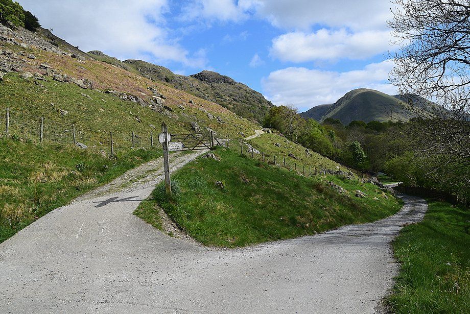
| A signposted lane between the cottages of Bridgend is the starting point for this walk. There are lay-bys for parking on either side of Deepdale Bridge |
 |
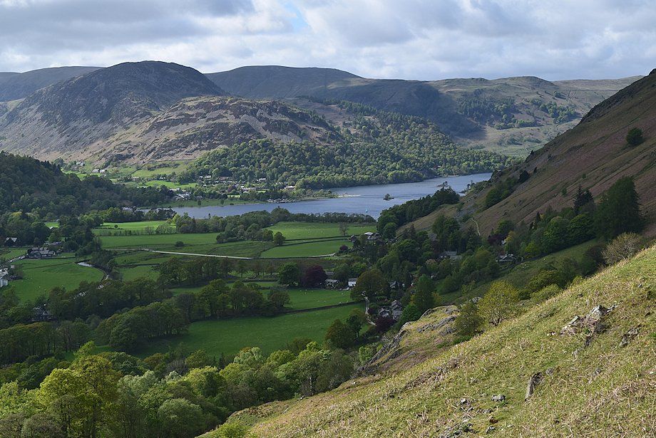
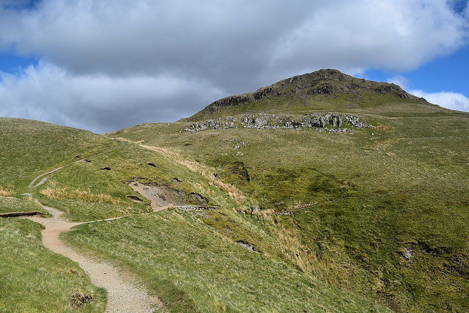
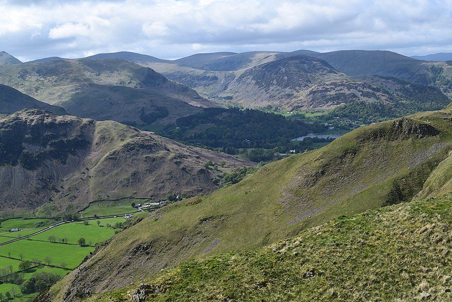
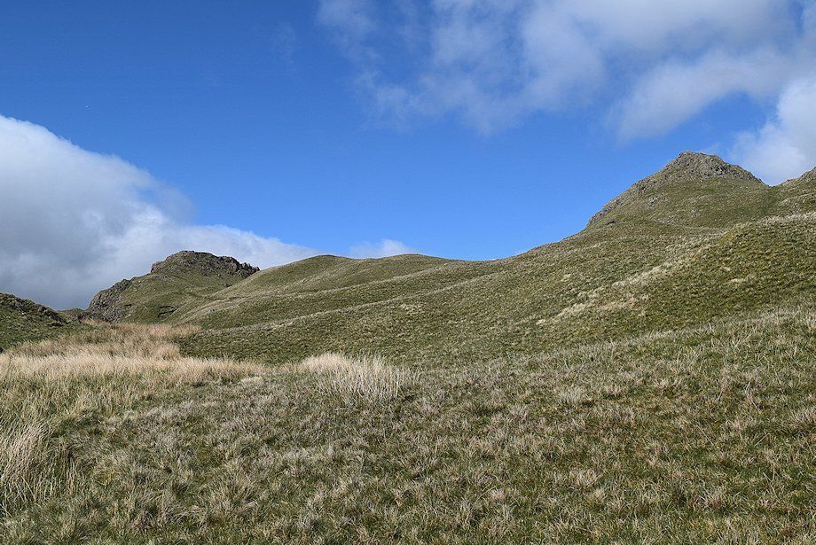
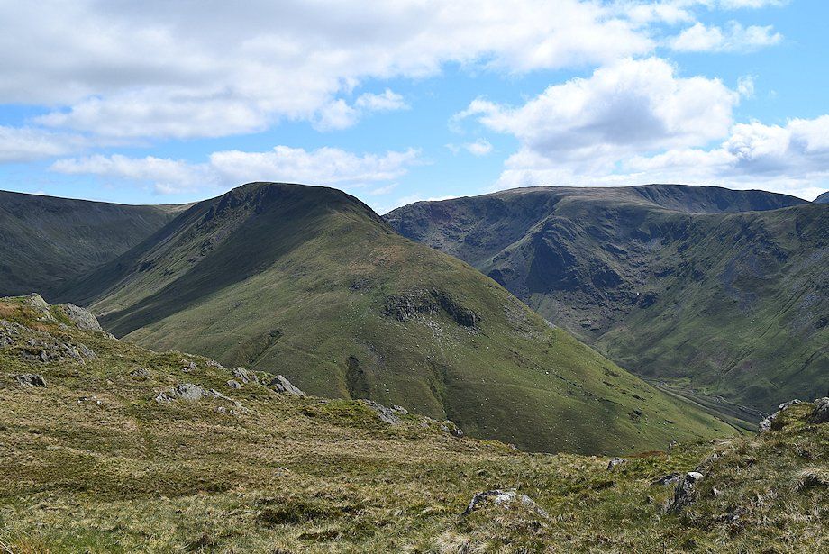
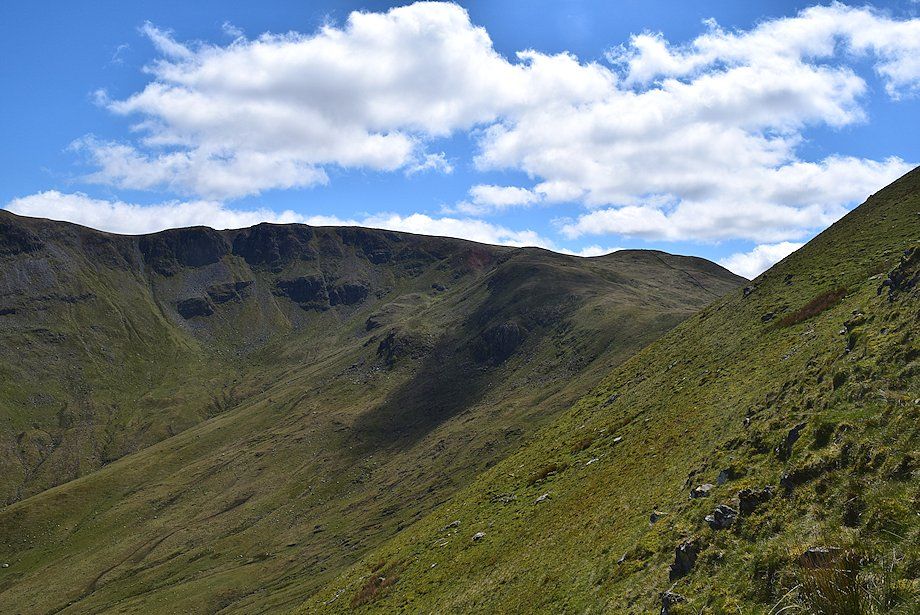
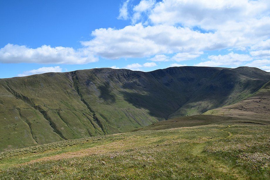
| The lane gives access to a path leading across the fields. The first objective is to reach the pass of Boredale Hause seen here in the centre between Place Fell and Dubhow Crag. The path to the hause can be seen rising below the steep flank of Dubhow Crag |
 |
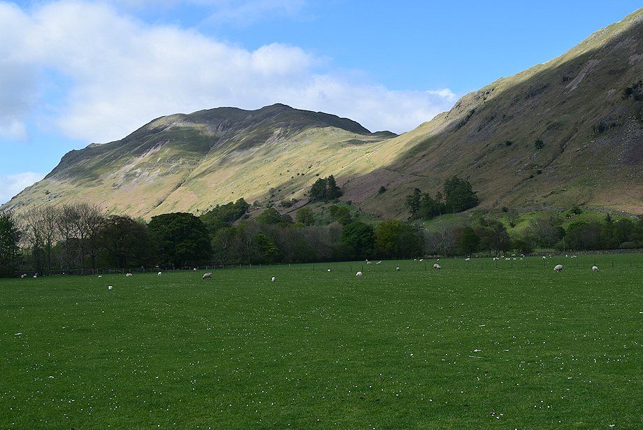
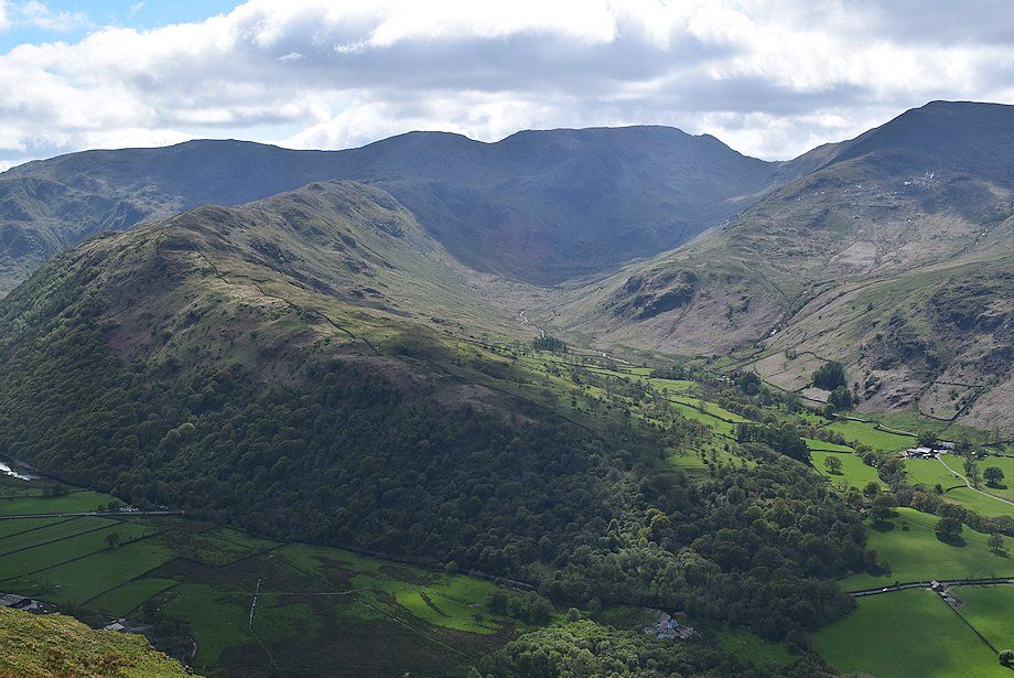
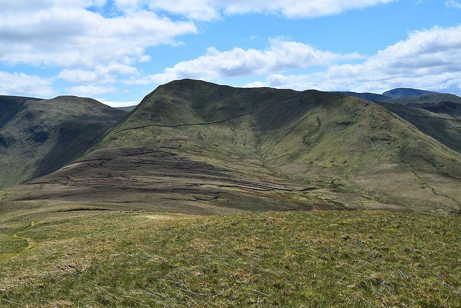
| Looking across to Hartsop Dodd and Caudale Moor from the field path |
 |
| After crossing a stile the path joins a short section of farm road on the approach to Goldrill Beck |
 |
| Across the bridge a short track gives access to a rough lane which runs between Rooking and Hartsop |
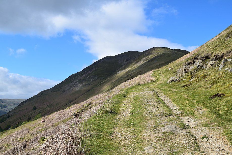 |
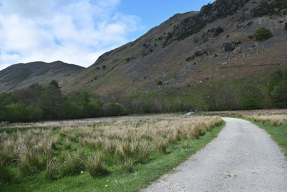
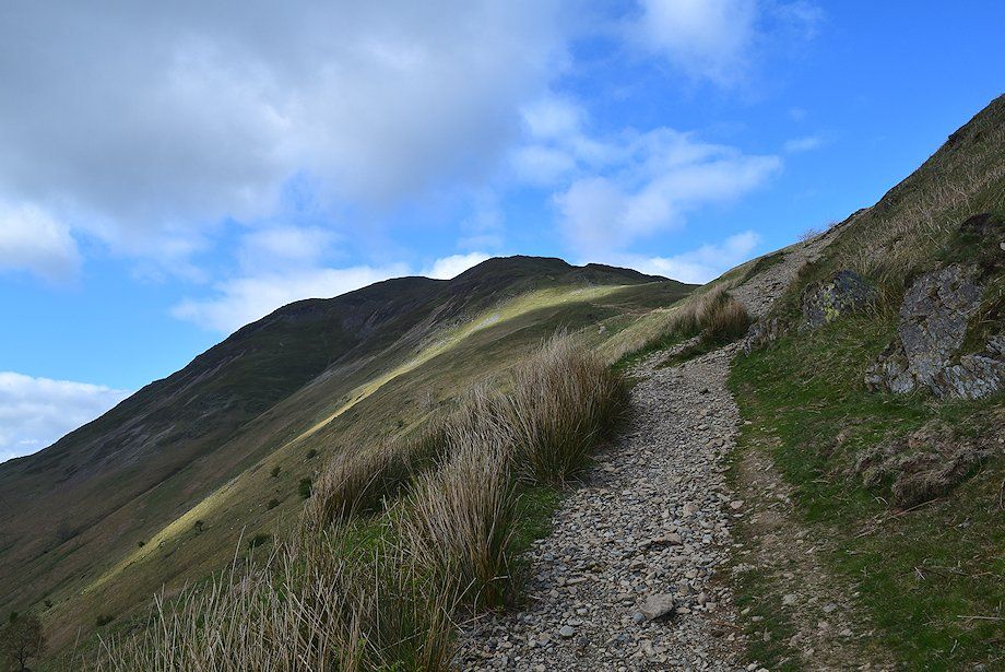
| The lane is only followed for a hundred yards or so before leaving it for a wide path which climbs steadily to Boredale Hause |
 |
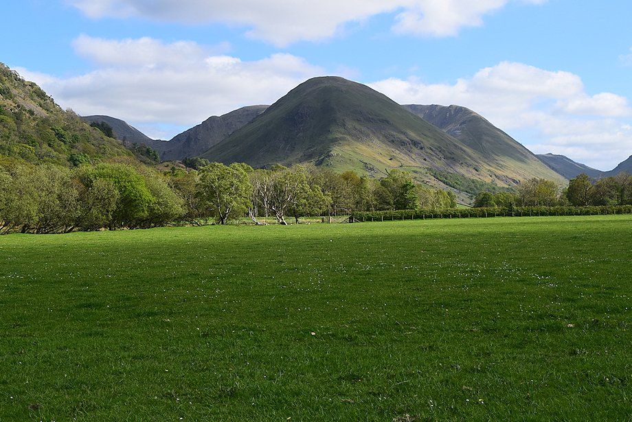
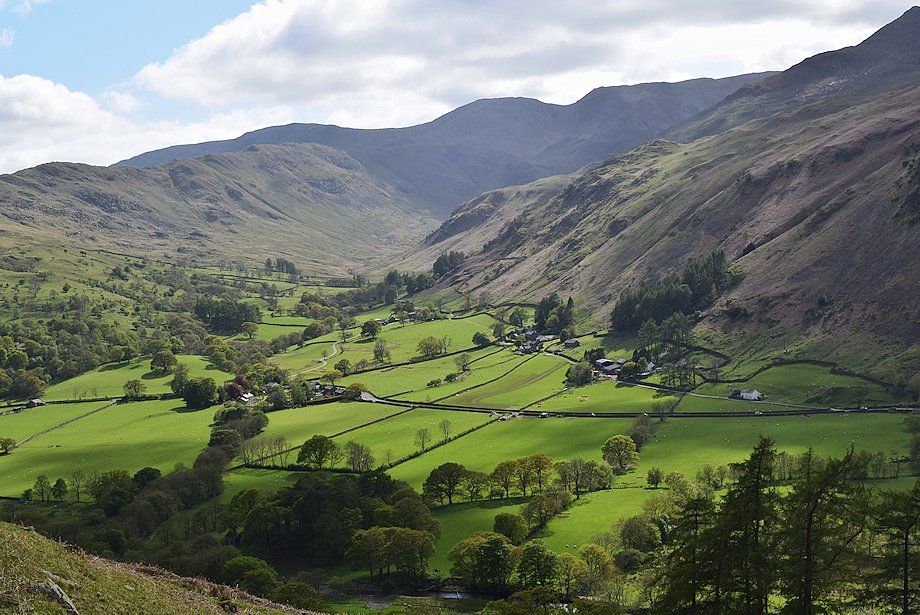
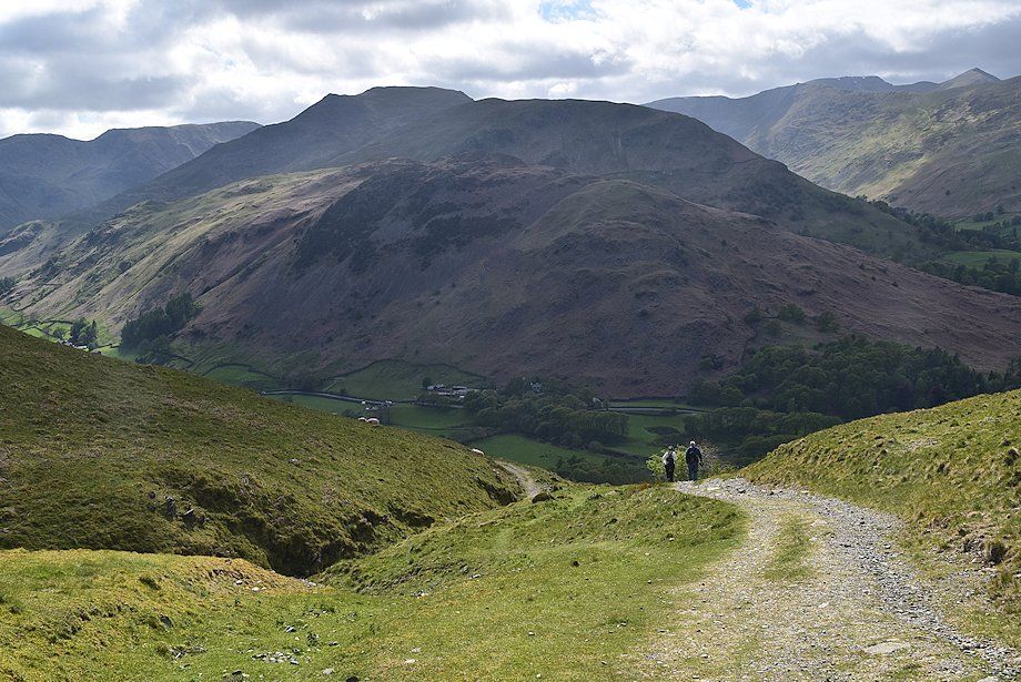
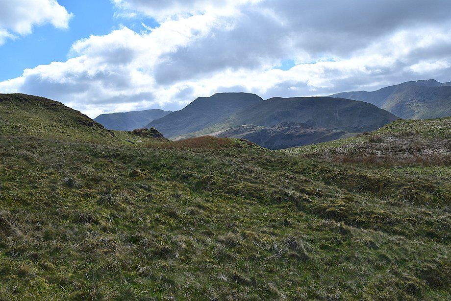
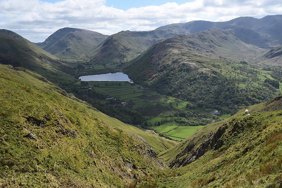
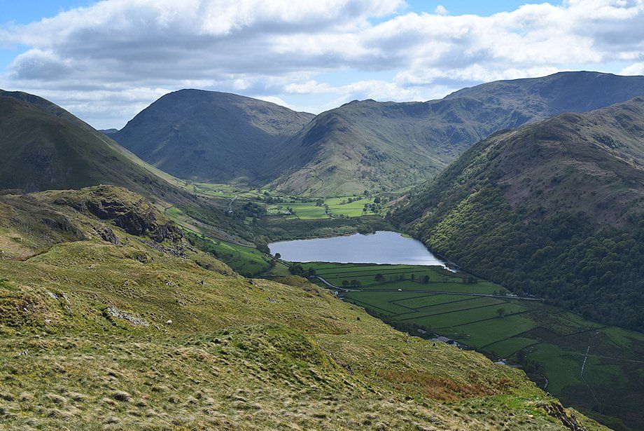
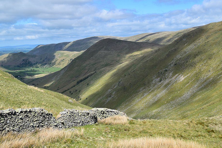
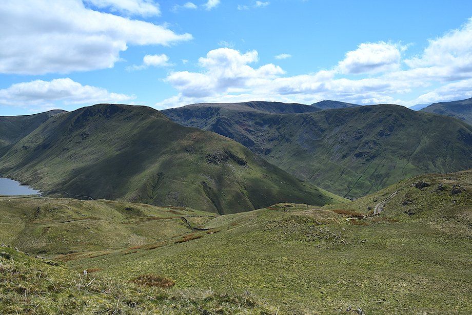
| Looking back to Brothers Water and Kirkstone Pass |
 |
| Helvellyn, Catstycam and Birkhouse Moor from the path to Boredale Hause |
 |
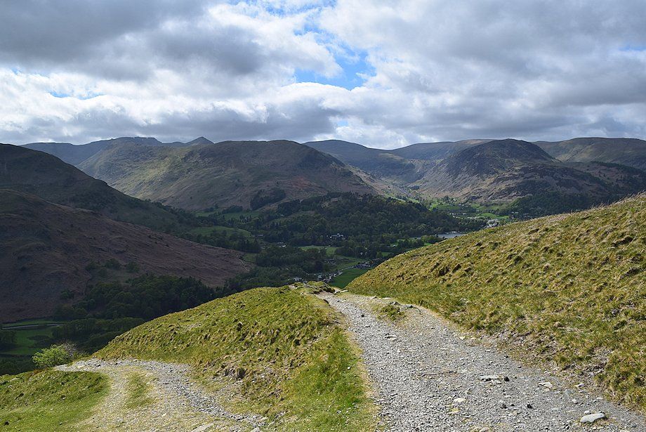
| The head of Ullswater from the path to Boredale Hause |
 |
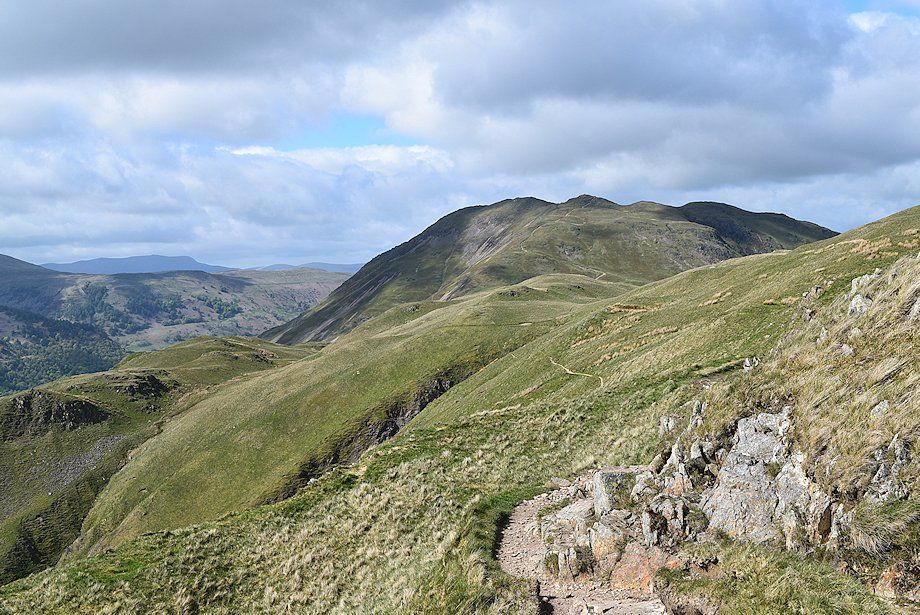
| Higher on the path to Boredale Hause with Place Fell dominating the view ahead |
 |
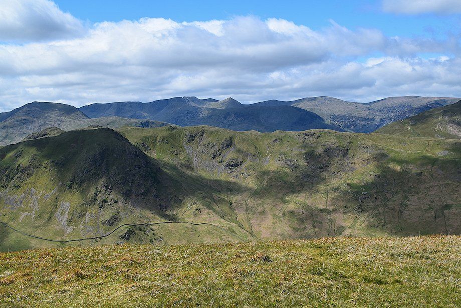
| Looking over towards Hartsop-above-How, Dove Crag, Hart Side and Fairfield |
 |
| Approaching Boredale Hause |
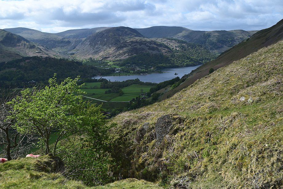 |
| The head of Ullswater from just below Boredale Hause |
 |
| St. Sunday Crag and Birks over Arnison Crag from Boredale Hause |
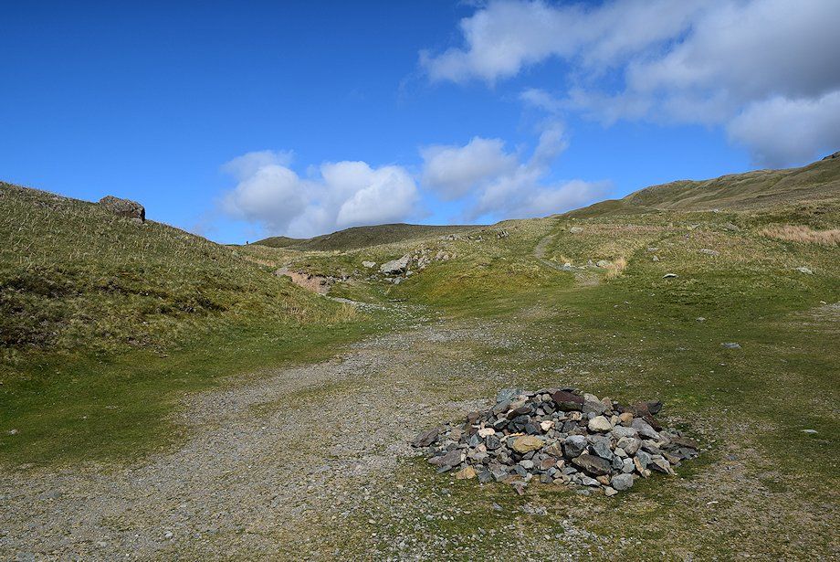 |
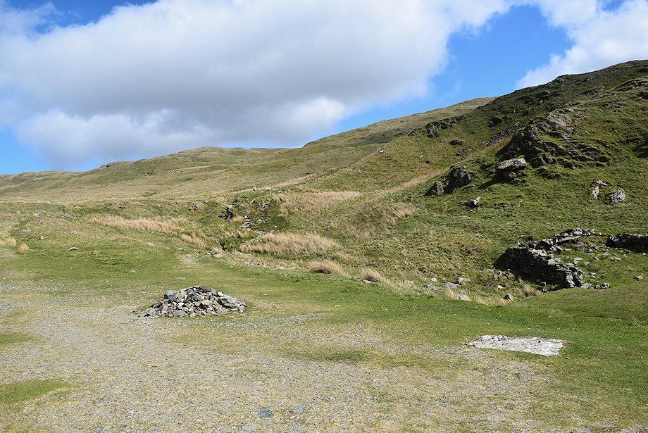
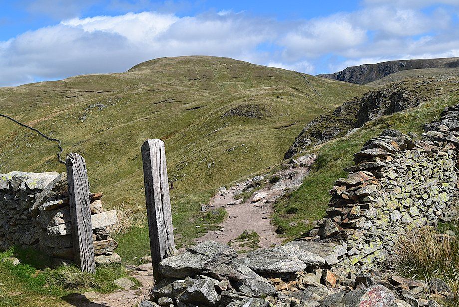
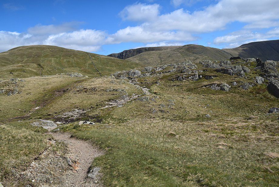
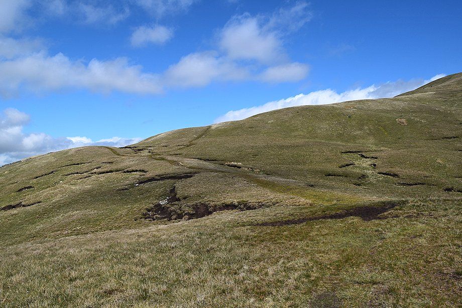
| Boredale Hause, the meeting place of many paths which can be confusing on a first visit |
 |
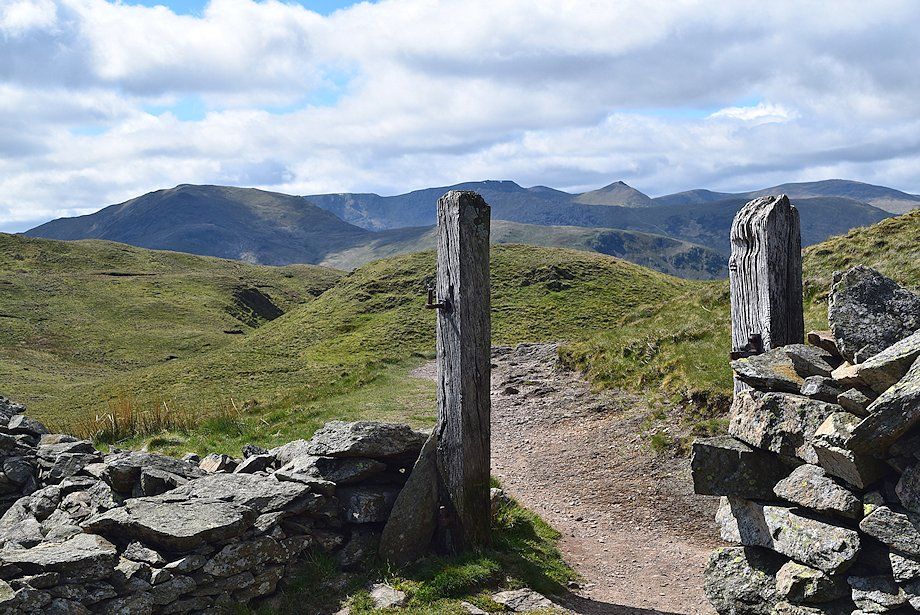
| Nethermost Pike, Helvellyn, Catstycam, Birkhouse Moor, Raise, Stybarrow Dodd, Sheffield Pike and Hart Side from Boredale Hause |
 |
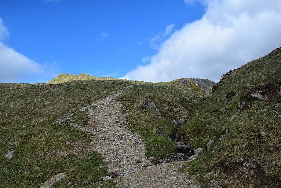
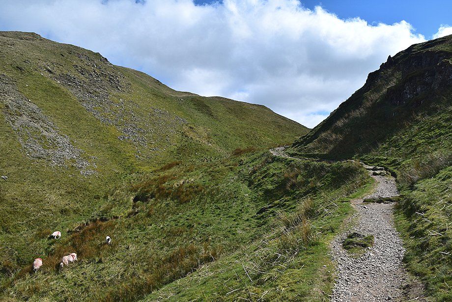
| The path to Angle Tarn crosses the stream beyond the collapsed marker cairn. The start of the path is surprisingly vague considering it is part of the popular Coast to Coast route but it soon becomes very clear on the ground as height is gained |
 |
| Looking over towards Dove Crag, Hart Crag, Fairfield, St. Sunday Crag, and Helvellyn from the start of the path to Angle Tarn |
 |
| The path soon passes through a short ravine between the slopes of Stony Rigg and Rake Crag |
 |
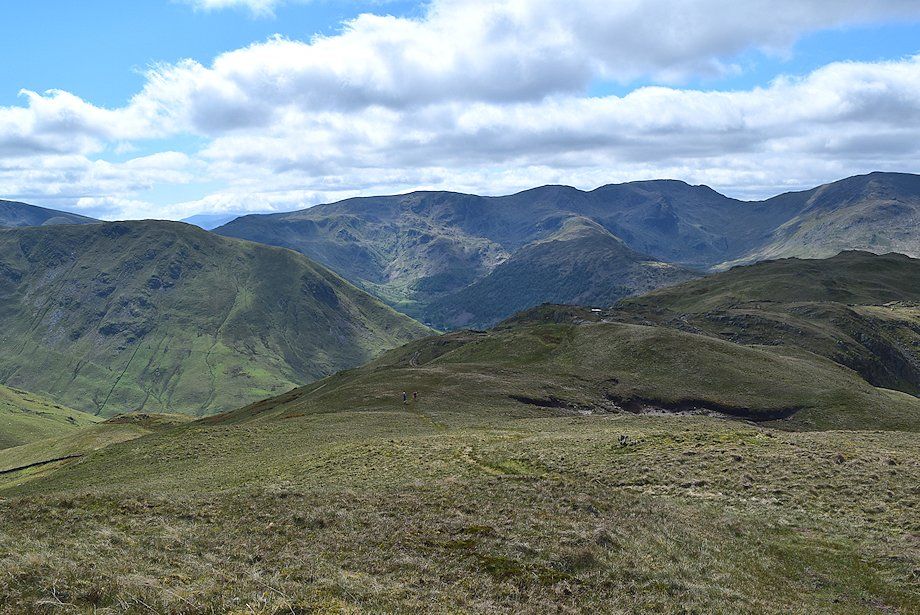
| Looking back to Place Fell |
 |
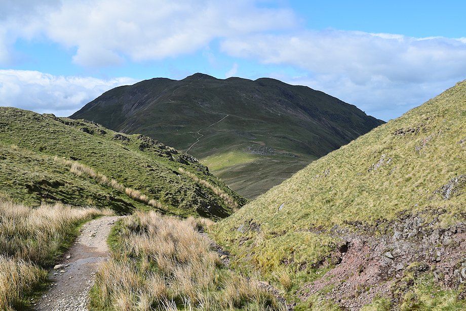
| The summit of Angletarn Pikes from the top of Dubhow Beck. The path divides at this point, the upper, and clearer, path is the one usually taken by the Coast to Coast walkers and is handy for an ascent of Angletarn Pikes. The lower one traverses across the slopes of Dubhow Brow and has better views. Both paths eventually re-unite as they approach Angle Tarn |
 |
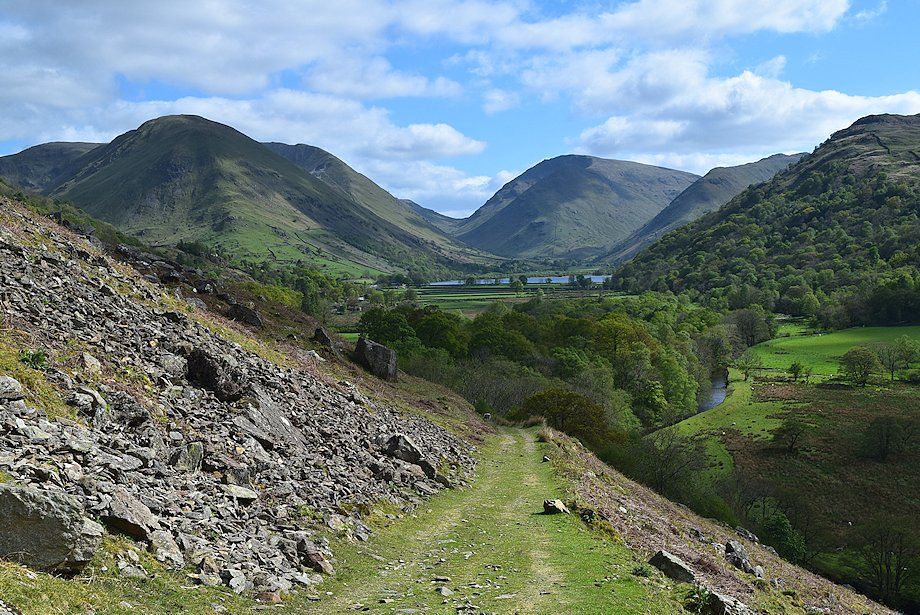
| Brothers Water from the head of Dubhow Beck |
 |
| The traverse path across Dubhow Brow |
 |
| St. Sunday Crag from Dubhow Brow |
 |
| The foot of Ullswater and Glenridding from Dubhow Brow |
 |
| Deepdale from Dubhow Brow |
 |
| Looking back towards Place Fell from the end of the traverse path below Dubhow Brow |
 |
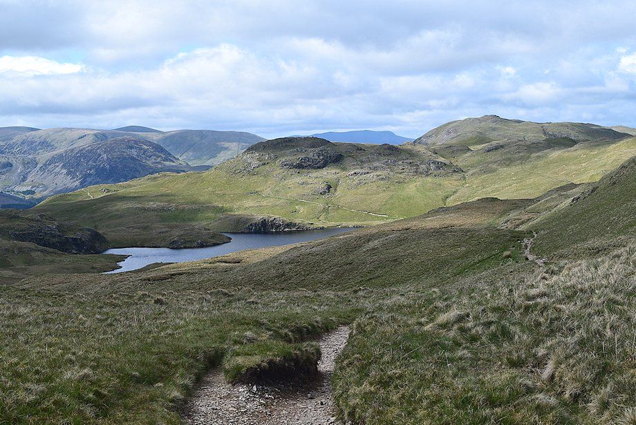
| Angle Tarn comes into view as the path reaches the end of the traverse across Dubhow Brow |
 |
| Looking up to the twin summits of Angletarn Pikes |
 |
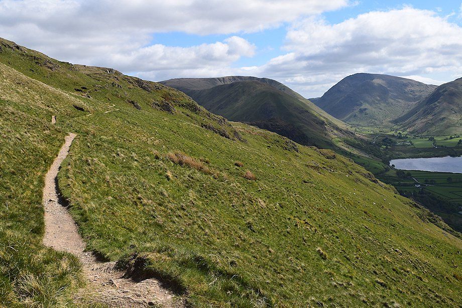
| Brothers Water from Dubhow Brow |
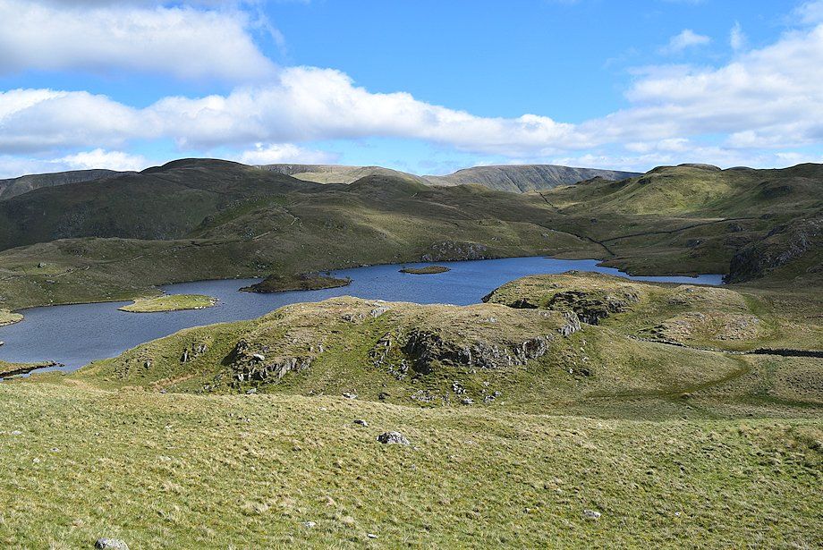 |
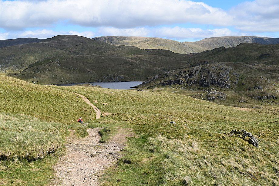
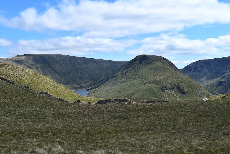
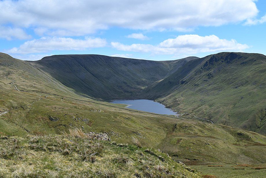
| Angle Tarn with the summits of High Raise, Rest Dodd, Rampsgill Head, The Knott, High Street and Brock Crags forming the skyline |
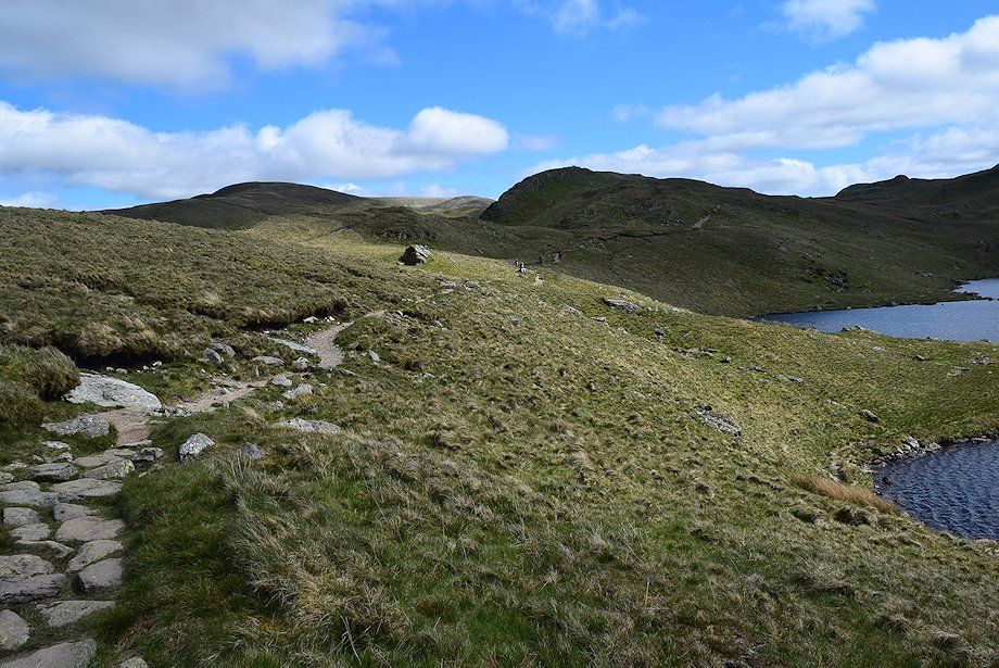 |
| The Coast to Coast path along the eastern side of Angle Tarn |
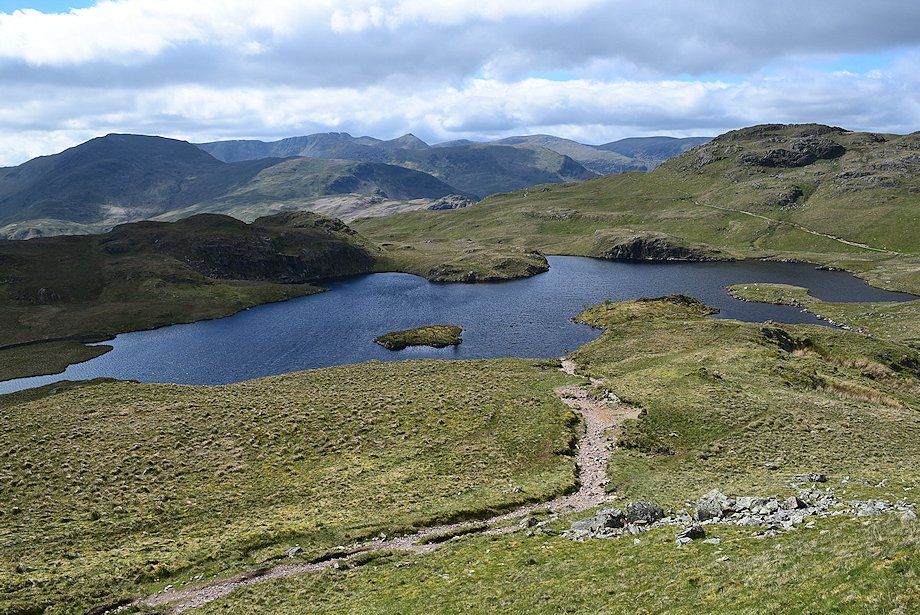 |
| Angle Tarn from the Coast to Coast path |
 |
| Gray Crag appearing over the col between Satura Crag and Brock Crags |
 |
| Approaching Satura Crag |
 |
| Looking back to Angle Tarn |
 |
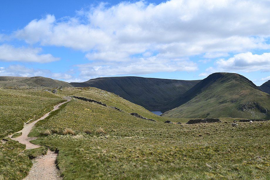
| Part of Hayeswater appears between the slopes of High Street and Gray Crag |
 |
| Rest Dodd from the Satura Crag gate |
 |
| St. Sunday Crag, Nethermost Pike, Helvellyn, Catstycam, White Side and Raise from the Satura Crag gate |
 |
| The Nab across the head of Bannerdale from the Satura Crag gate |
 |
| Gray Crag and Caudale Moor from the Satura Crag gate |
 |
| Continuing along the well worn Coast to Coast path over the summit ridge of Satura Crag. Rest Dodd is on the left with Rampsgill Head and The Knott in the centre skyline with part of High Street on the right |
 |
| Looking back along the summit ridge of Satura Crag |
 |
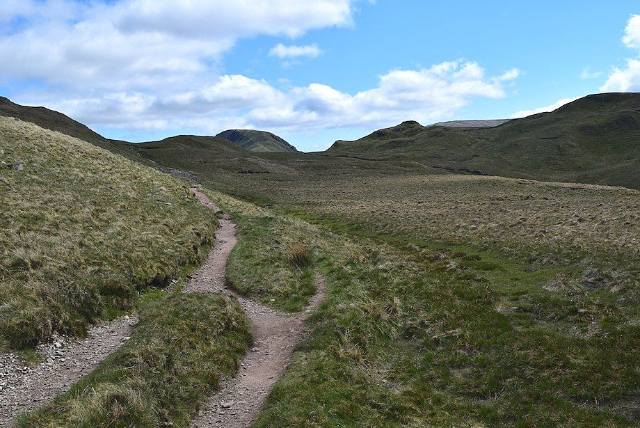
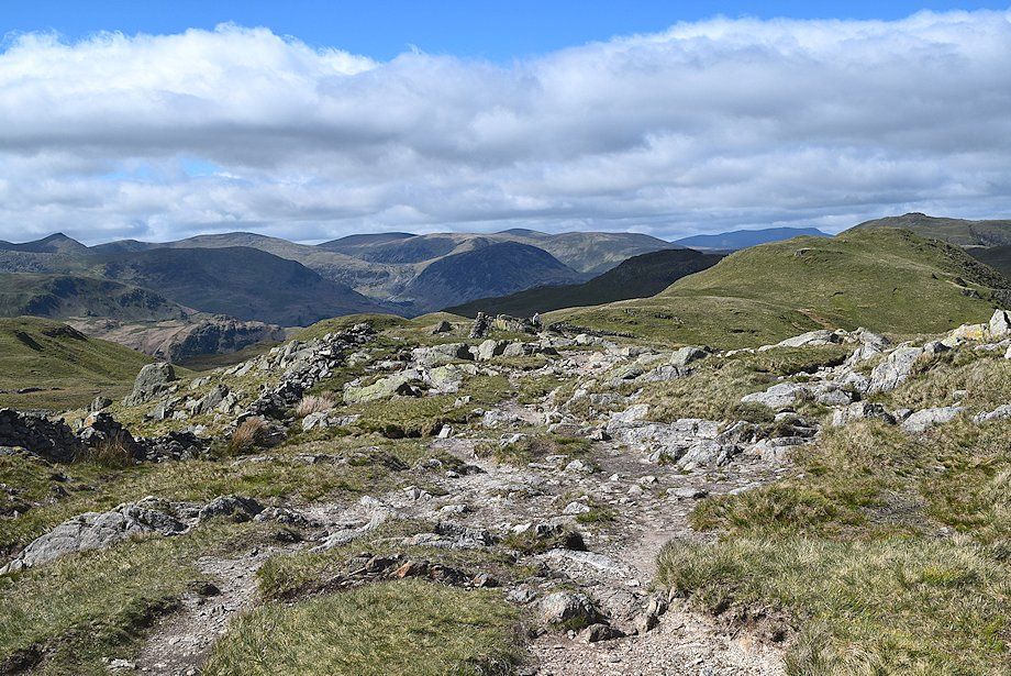
| The Coast to Coast path over Satura Crag is only followed for a short distance before a distinct path turns off to the left. The path descends slightly to cross the head of Bannerdale before rising to the top of a grass knoll below the western slopes of Rest Dodd, a good viewpoint |
 |
| Rampsgill Head and The Knott from the top of the grass knoll |
 |
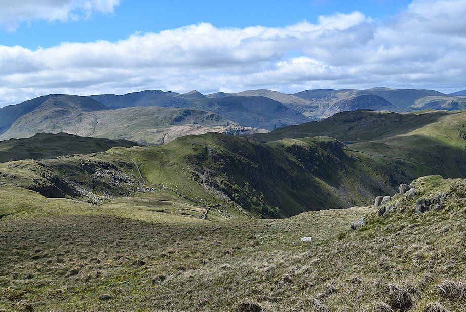
| Thornthwaite Crag, Gray Crag, Caudale Moor, Red Screes and Hartsop Dodd from the top of the grass knoll |
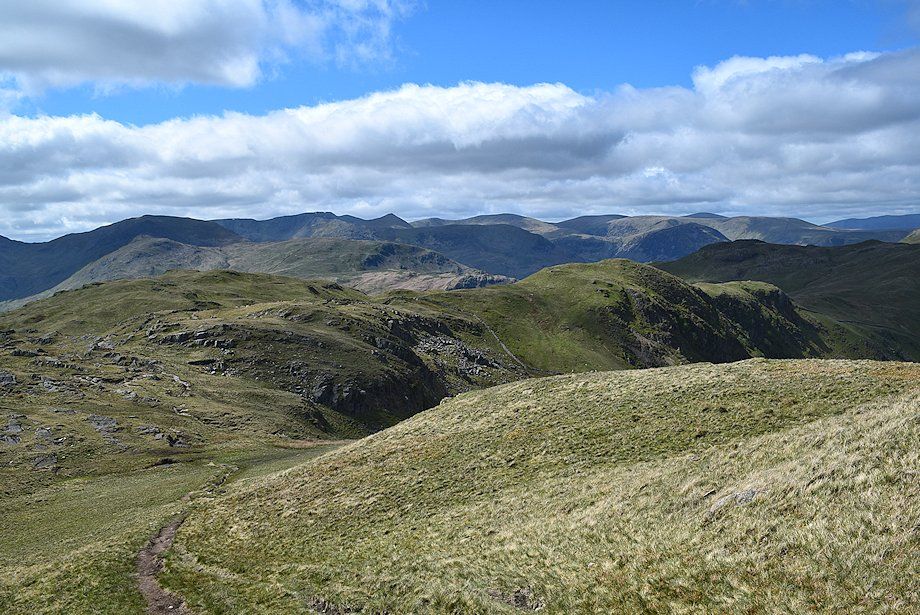 |
| Looking back to Satura Crag |
 |
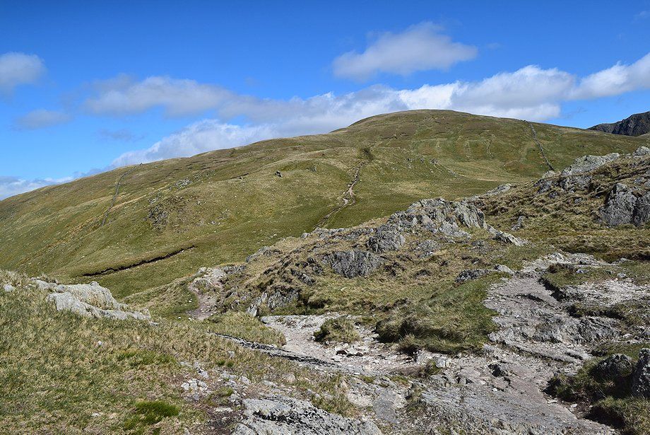
| Continuing on from the grass knoll, the path turns up a broad grass spur to gain the north-west ridge of Rest Dodd |
 |
| Looking back towards Hayeswater from the climb to Rest Dodd's north west ridge |
 |
| Looking back towards Hartsop Dodd, Dove Crag, Hart Crag, Fairfield and Dollywaggon Pike from the climb to Rest Dodd's north west ridge |
 |
| Approaching the north west ridge of Rest Dodd |
 |
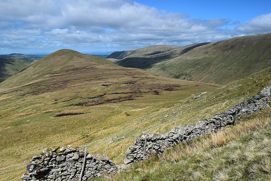
| Looking back to Satura Crag and Buck Crag across the head of Bannerdale |
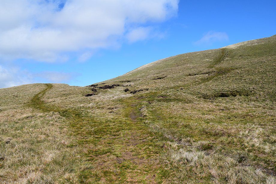 |
| Ignore the path turning off to the right which leads up to the summit of Rest Dodd. The access path to The Nab continues straight on over the ridge |
 |
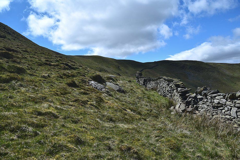
| Approaching the Martindale Deer Reserve enclosure wall. The gap in the wall once had a fixed hurdle across it, this has been missing for some time now |
 |
| A glimpse of Angle Tarn through the gap in the enclosure wall |
 |
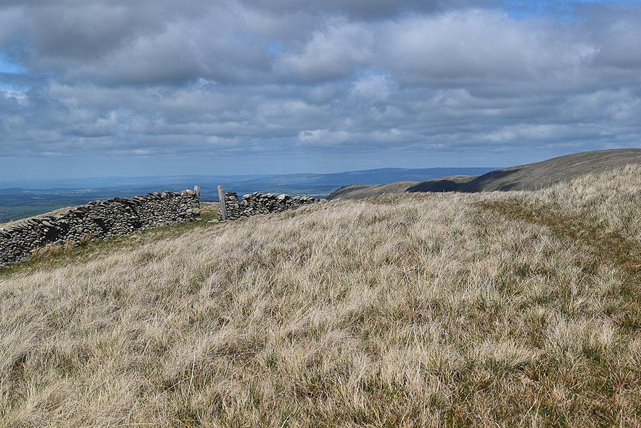
| Although The Nab is now open access land, it is in a red deer conservation area. To avoid undue disturbance to the deer population, the Dalemain Estate requests that walkers access the summit by a simple out and back route along its connecting ridge with Rest Dodd. Follow a path alongside the enclosure wall to a stile near the foot of Rest Dodd's north ridge |
 |
| The Nab from the path alongside the enclosure wall |
 |
| Looking across Yewgrove Gill towards Bannerdale with Beda Fell in the centre and the summit of The Nab on the right |
 |
| Loadpot Hill, Wether Hill and Red Crag from the path alongside the intake wall |
 |
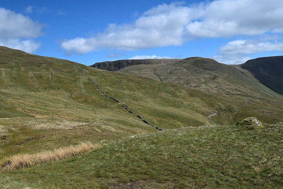
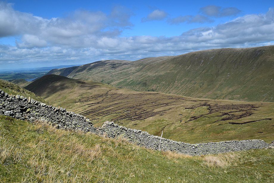
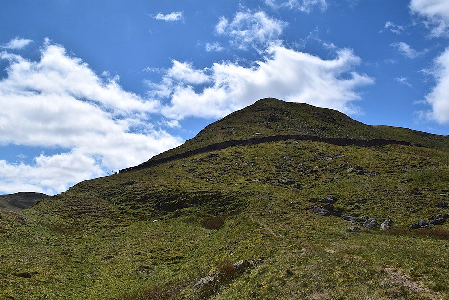
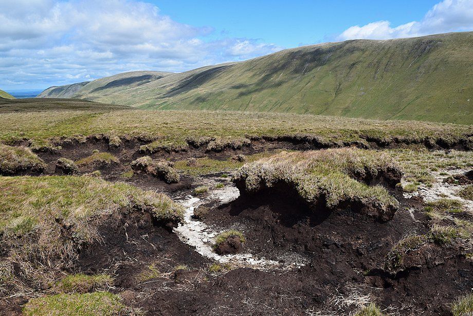
| Looking over to the extensive area of peat hags on the shallow col between the summit of The Nab and Rest Dodd |
 |
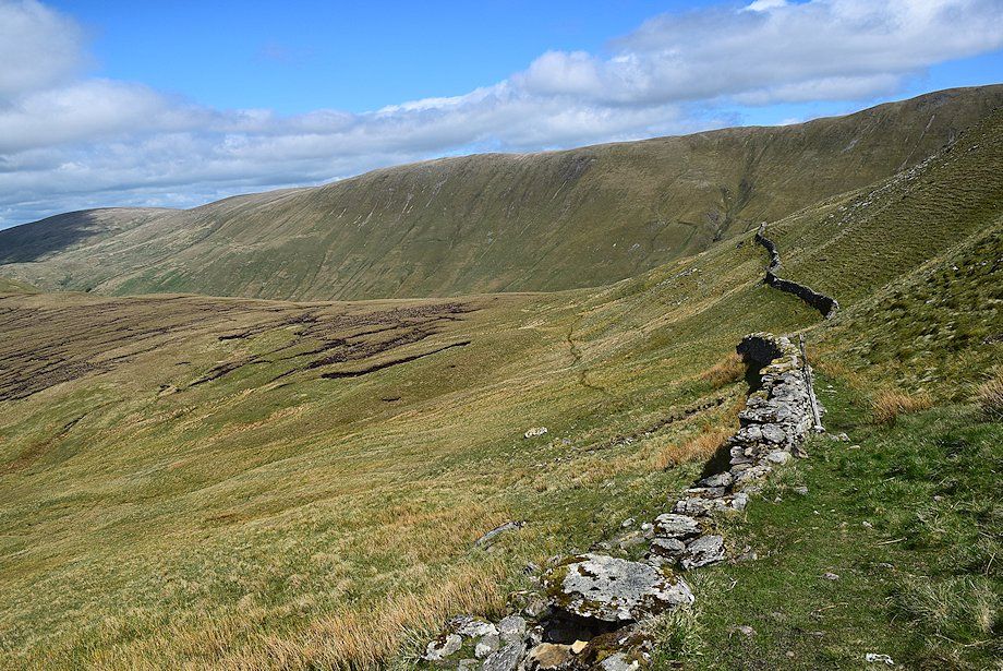
| Looking back to Rest Dodd's north west ridge and the route taken alongside the intake wall |
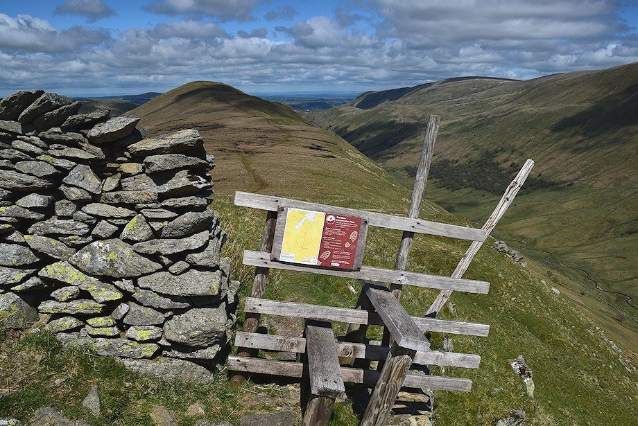 |
| The extremely rickety stile giving access to the summit of The Nab |
 |
| Looking over towards Rampsgill Head and The Knott from the stile |
 |
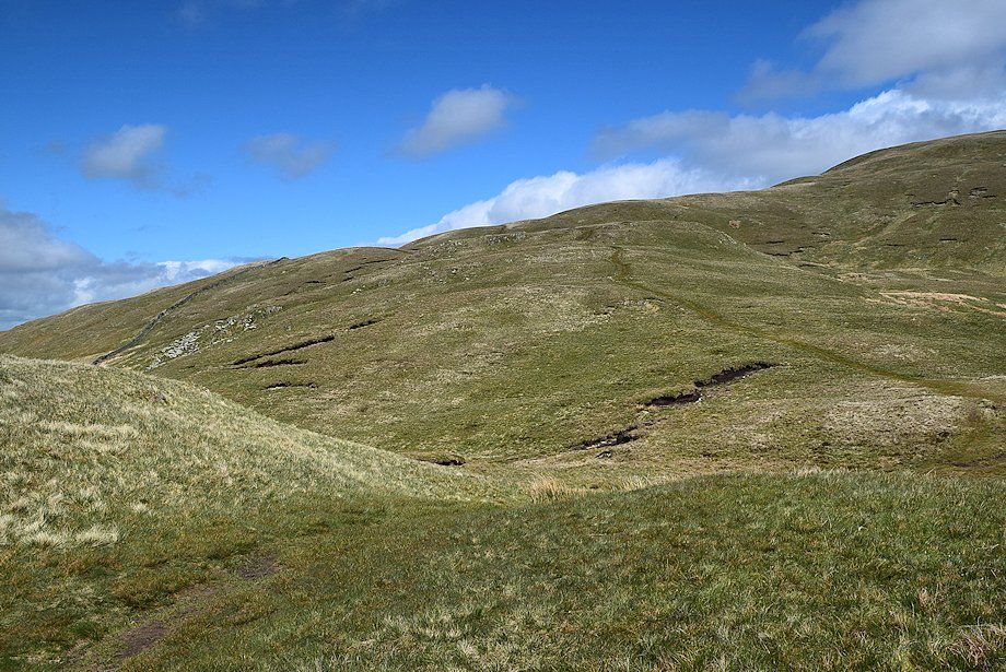
| A clear path leads down from the stile to the col, the path avoids most of the peat hags on the col |
 |
| Looking back to the north ridge of Rest Dodd, the access stile can be seen on the left |
 |
| Looking over towards Place Fell above the Beda Fell ridge |
 |
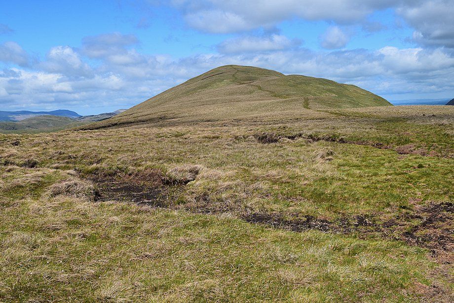
| The summit of The Nab from the col |
 |
| Looking over towards Helvellyn and Catstycam from the col |
 |
| Bonscale Pike, Loadpot Hill, Wether Hill and Red Crag from the col |
 |
| The summit of The Nab from near the end of the area of peat hags |
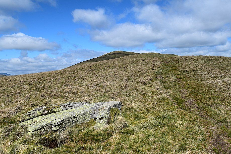 |
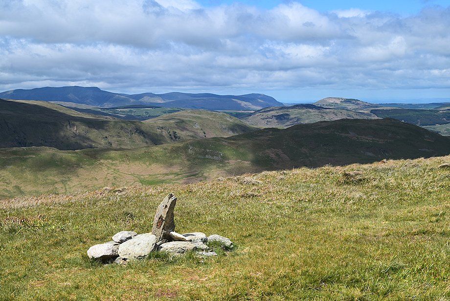
| The start of the short ascent to the summit from the col is marked by a flat boulder |
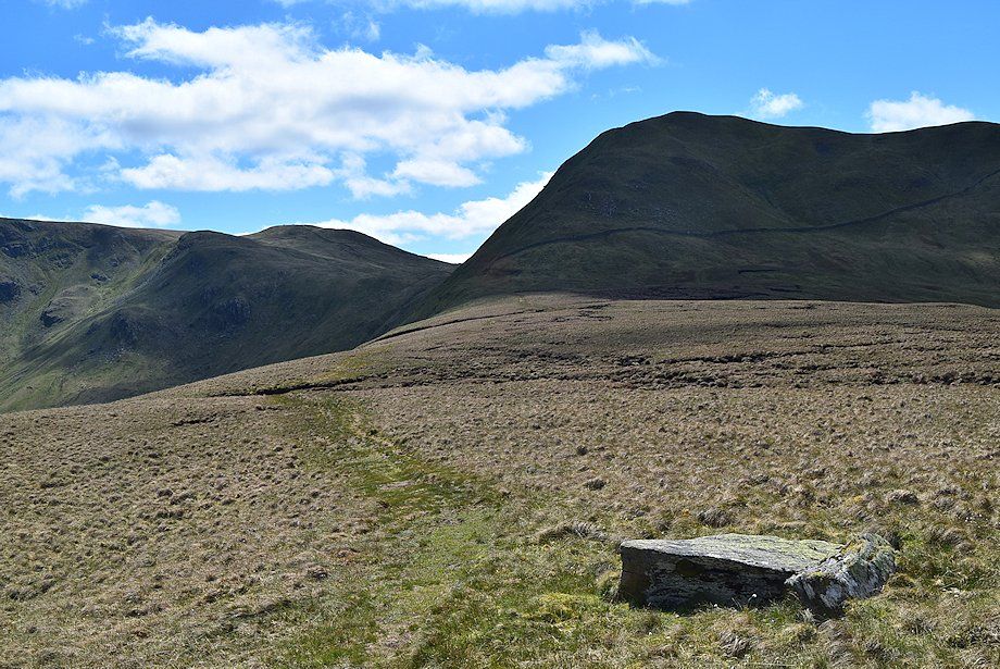 |
| Looking back towards Rest Dodd with The Knott on the left |
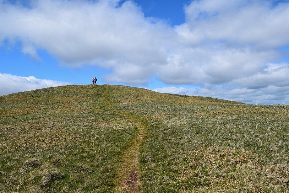 |
| Approaching the summit of The Nab |
 |
| The summit cairn on The Nab looking towards Blencathra, Knott, Bowscale Fell, Carrock Fell and Great Mell Fell on the horizon |
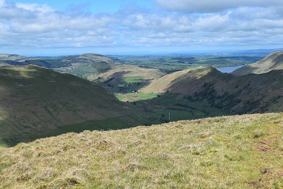 |
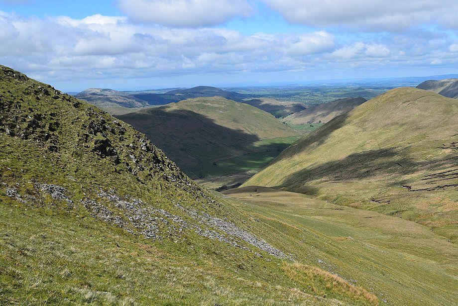
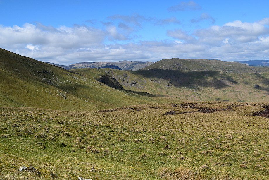
| Looking down on Martindale (Howe Grain) enclosed by Beda Fell, Hallin Fell and Steel Knotts |
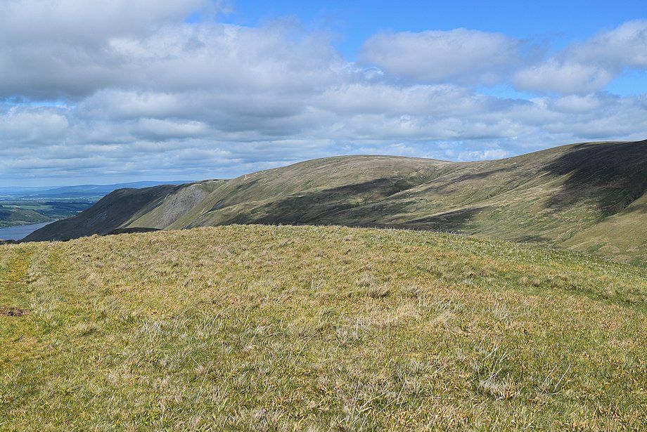 |
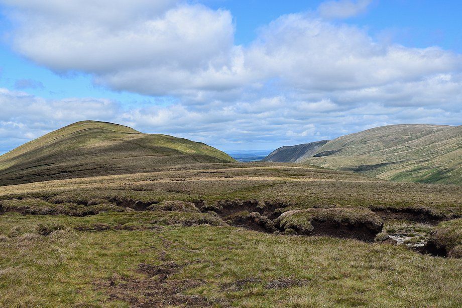
| Bonscale Pike, Loadpot Hill and Wether Hill |
 |
| High Raise, Rampsgill Head and The Knott |
 |
| Looking back towards Rest Dodd |
 |
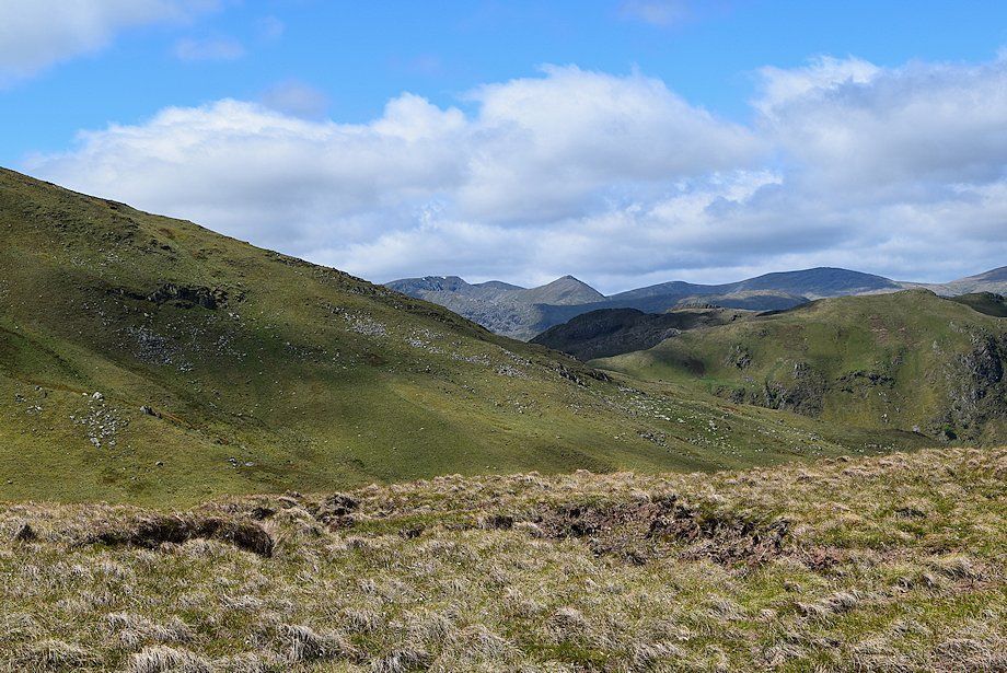
| Looking south west, Little Hart Crag, Dove Crag, Hart Crag, Fairfield, St. Sunday Crag and Nethermost Pike form the horizon |
 |
| Looking west, St. Sunday Crag, Dollywaggon Pike, Nethermost Pike, Helvellyn, Catstycam, White Side, Raise and Stybarrow Dodd on the horizon |
