 |
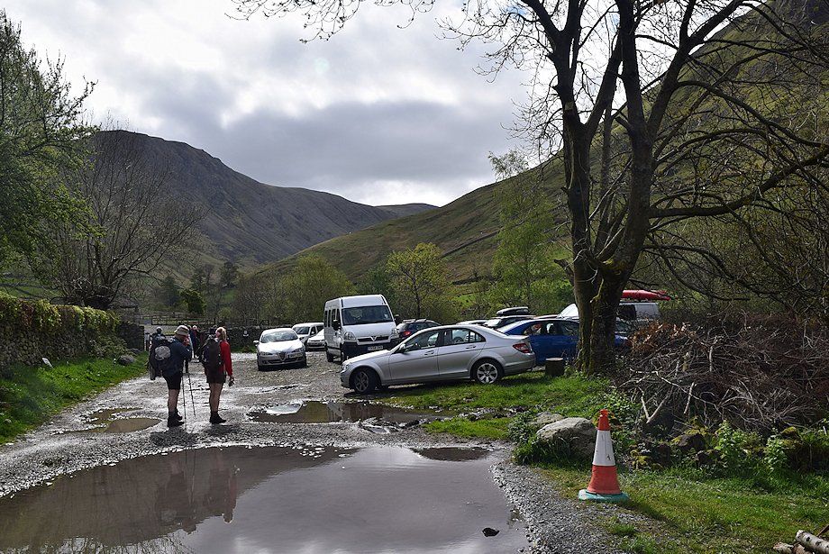
| Hartsop car park at the start of the walk |
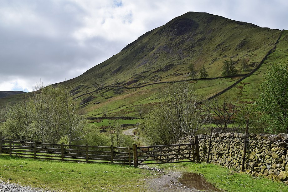 |
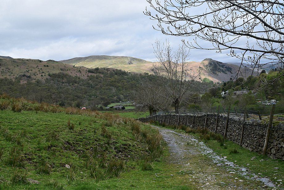
| Turning right from the car park enclosure, a cart track leads down to cross Hayeswater Gill by Walker Bridge, bound for the valley of Pasture Beck |
 |
| Crossing Walker Bridge |
 |
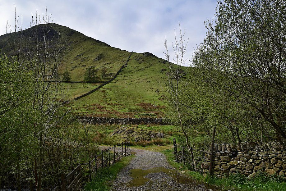
| The cart track leading into the valley of Pasture Beck |
 |
| Looking back along the track towards Birks and Arnison Crag in sunlight across the valley |
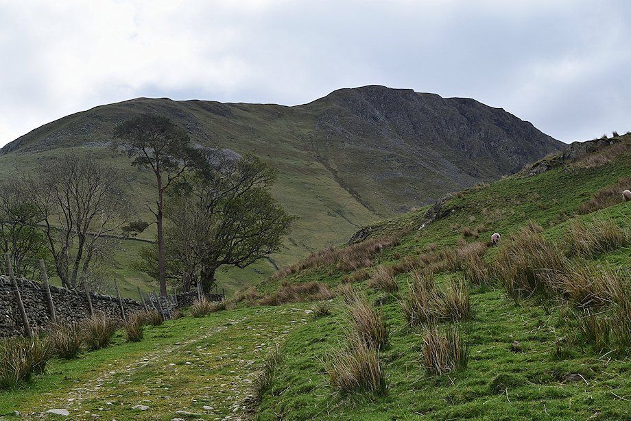 |
| Gray Crag from the track as it approaches its highest point before it starts to descend into the Pasture Beck valley |
 |
| Looking back along the track, St. Sunday Crag appears over the Hartsop-above-How ridge |
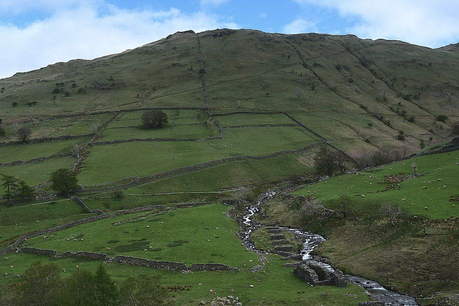 |
| Looking down on the remains of the launder piers and waterwheel pit of the abandoned Myers Head Lead Mine |
 |
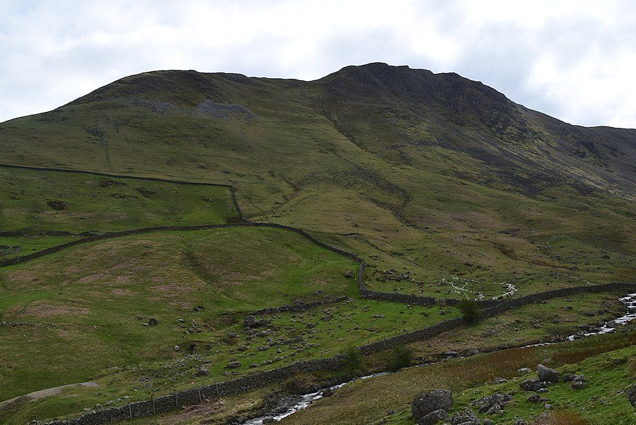
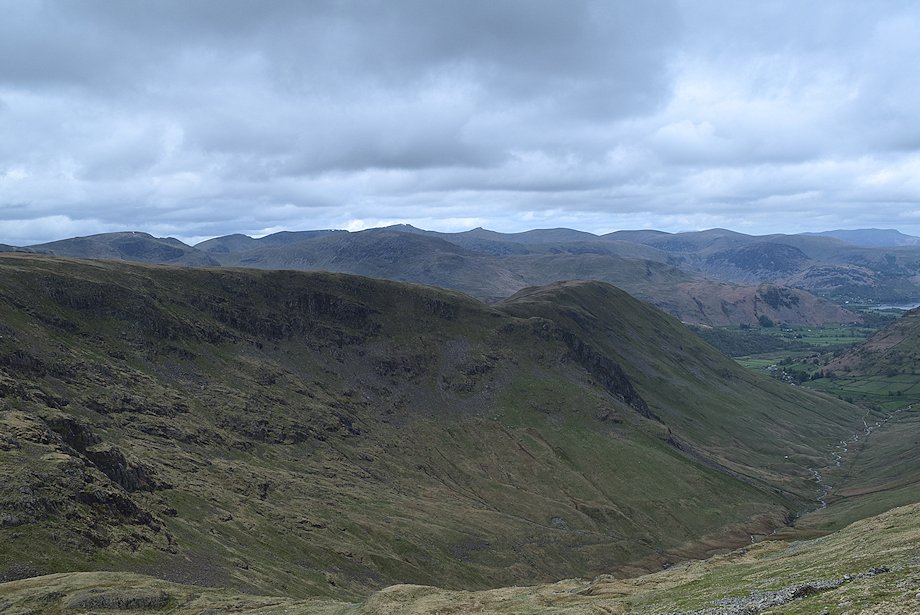
| Brock Crags, Satura Crag and Rest Dodd across the lower slopes of Gray Crag |
 |
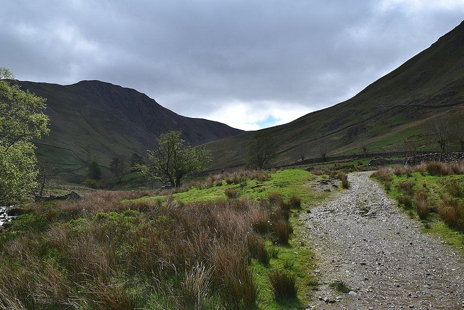
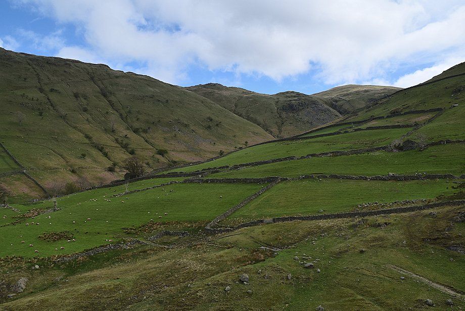
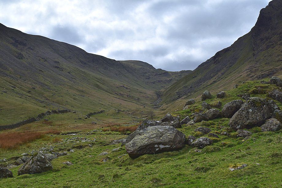
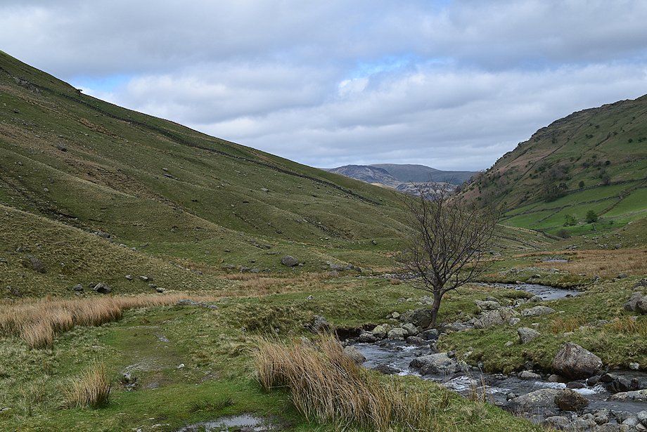
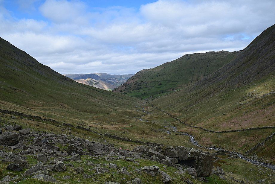
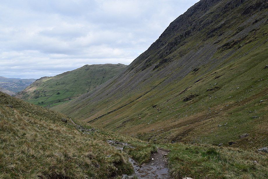
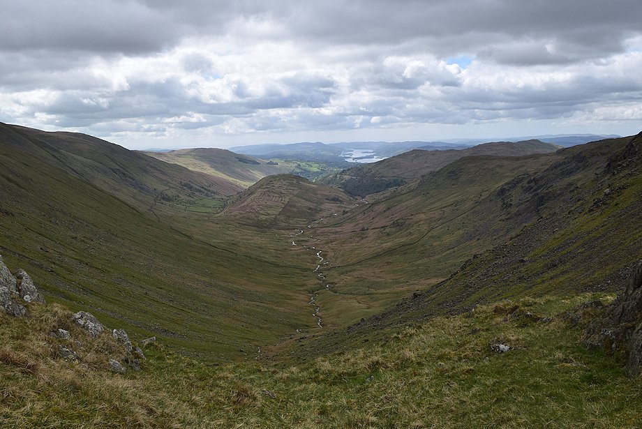
| The cart track descends into the Pasture Beck valley (Pasture Bottom) Threshthwaite Mouth is at the head of the valley with Thornthwaite Crag to its left |
 |
| Pasture Bottom is dominated by the imposing Raven Crag on the right .......... |
 |
| .......... and the steep western slopes of Gray Crag on the left |
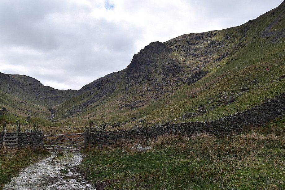 |
| The cart track ends at a gate in the enclosure wall |
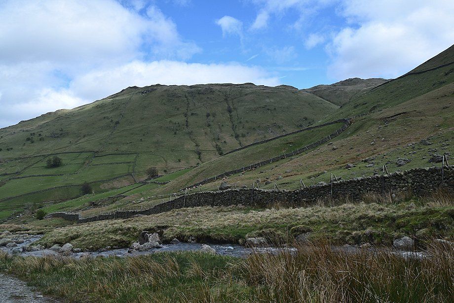 |
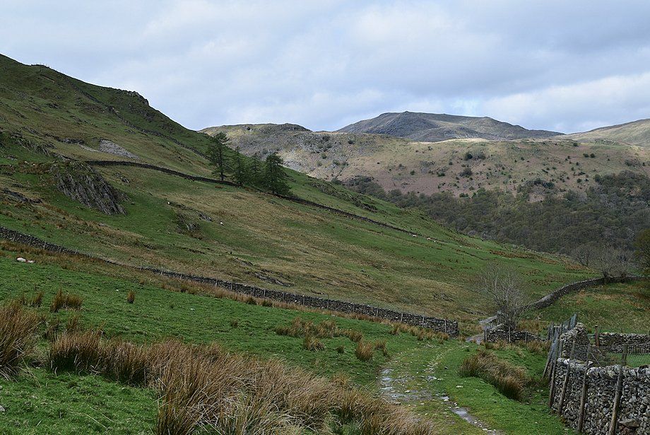
| Looking back from the end of the cart track towards Brock Crags and Satura Crag |
 |
| The way ahead from the gate continues on a level green path which follows the course of Pasture Beck for a few hundred yards |
 |
| On passing a solitary tree the path begins to climb away from Pasture Beck as it passes around and over a series of moraines |
 |
| Looking back to Glenridding Dodd, Sheffield Pike and Hart Side framed between the slopes of Hartsop Dodd and Gray Crag |
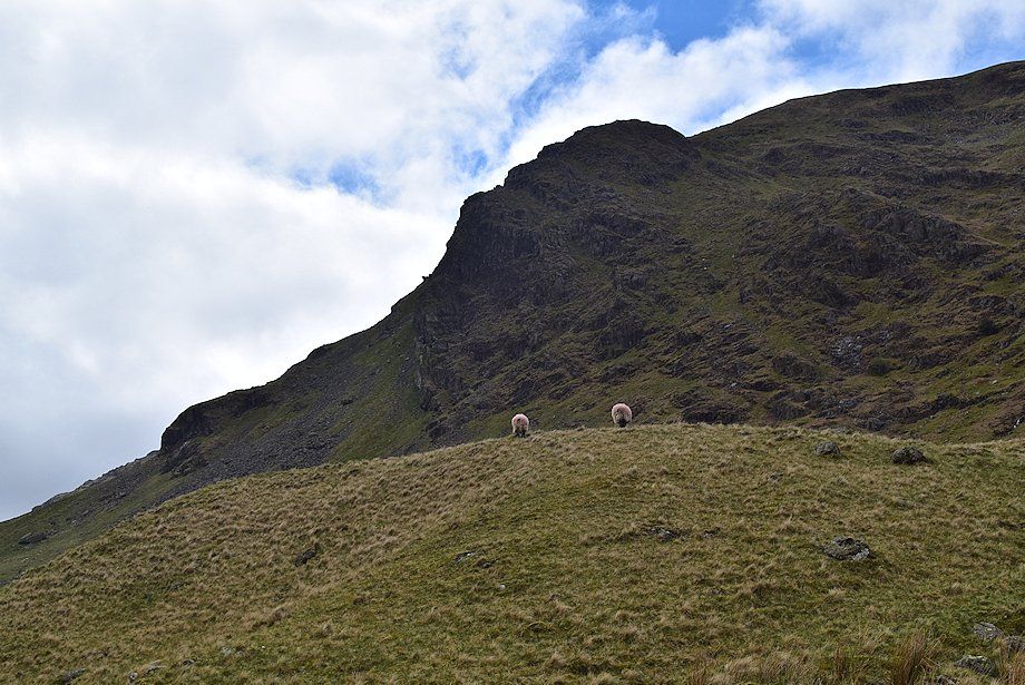 |
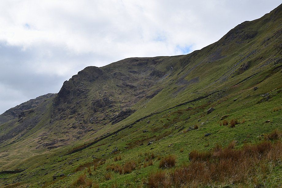
| Raven Crag above the first moraine |
 |
| The path over the moraines leads up to a gap in the upper intake wall, a group of walkers can be seen approaching the wall |
 |
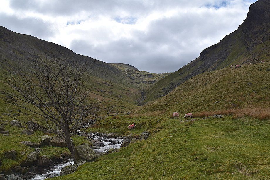
| Looking back along Pasture Bottom |
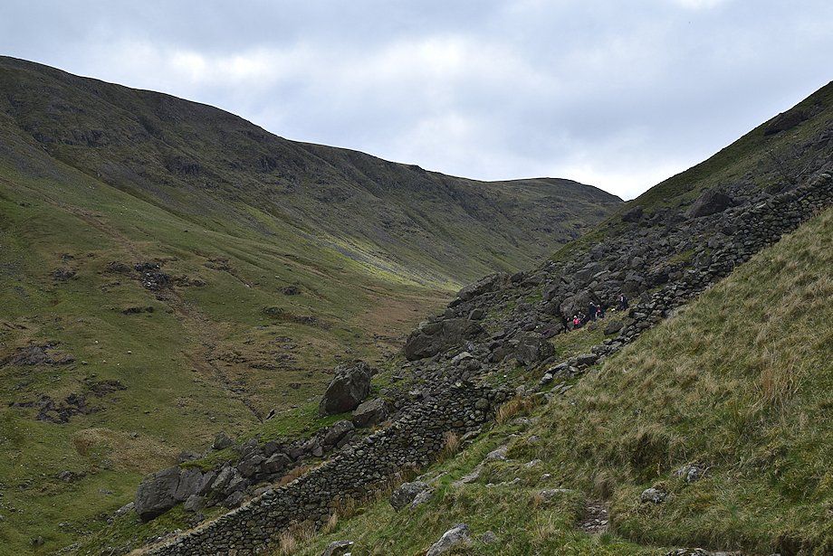 |
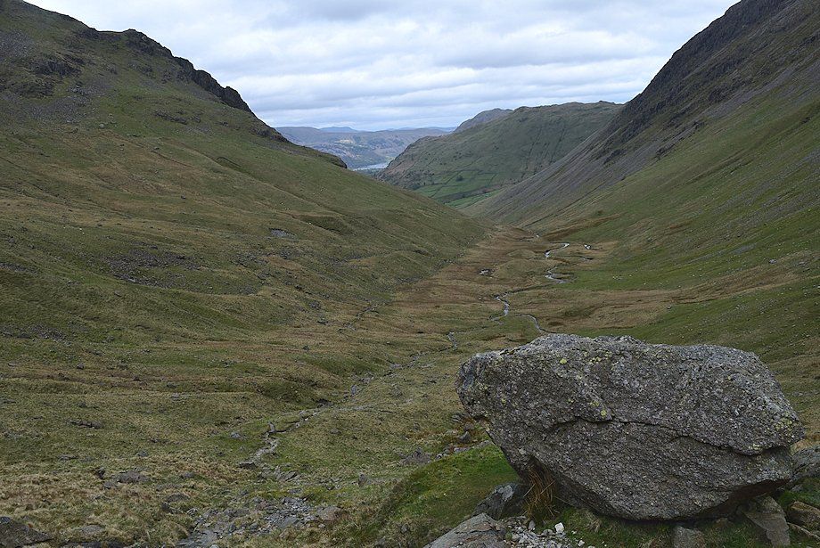
| The walkers have decided to have a break amongst the boulders below Raven Crag. AW made a note of these as providing some shelter in his diagram of this ascent. In distance this is about the halfway point of the walk to Thornthwaite Crag although most of the actual climbing still lies ahead |
 |
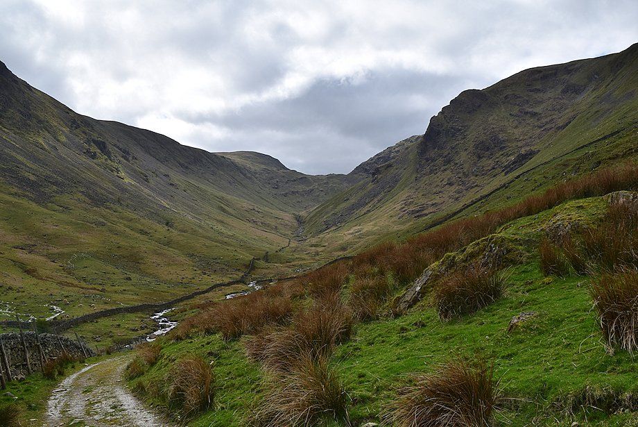
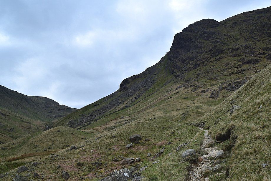
| Passing through the boulder field below Raven Crag. There is no difficulty here, the path is quite clear |
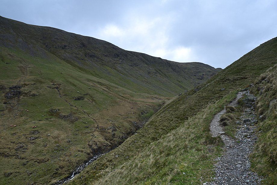 |
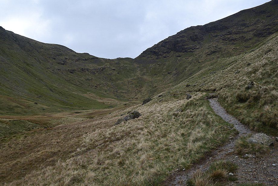
| Above the boulder field the path climbs steadily towards the lip of Threshthwaite Cove, the upper part of the valley of Pasture Beck |
 |
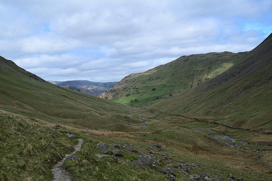
| Looking back along the the lower part of the valley |
 |
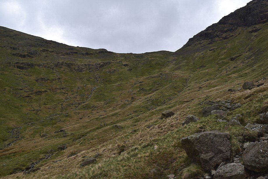
| Threshthwaite Cove |
 |
| Looking back from the lip of Threshthwaite Cove |
 |
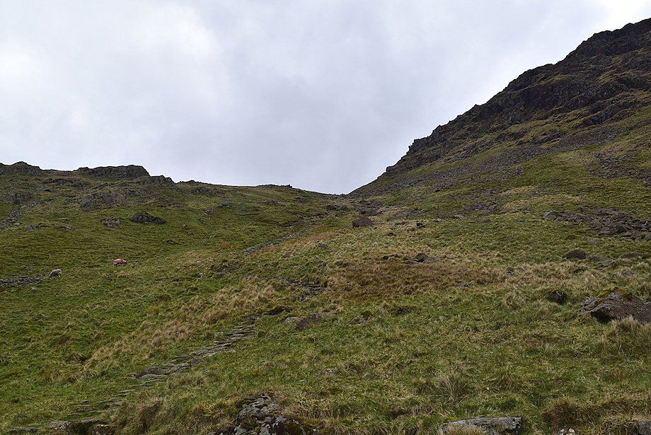
| On entering Threshthwaite Cove the path descends slightly before starting the climb up to Threshthwaite Mouth. Initially this is along the crest of the curving grassy rigg in the centre of the photo towards a prominent rock, which is about the halfway point of the climb to the col |
 |
| Looking down on Threshthwaite Cove from the 'halfway rock' |
 |
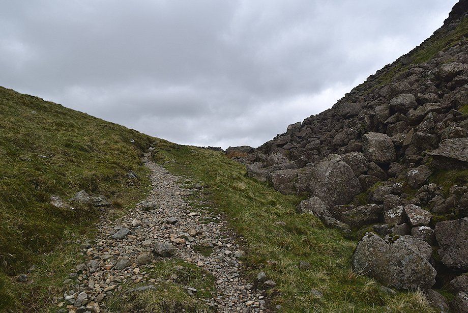
| From the 'halfway rock' a stone-pitched path leads easily up to Threshthwaite Mouth |
 |
| Approaching Threshthwaite Mouth |
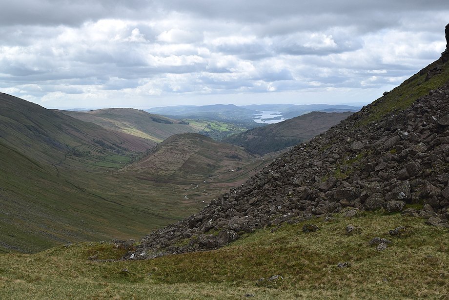 |
| Looking south to Windermere from Threshthwaite Mouth |
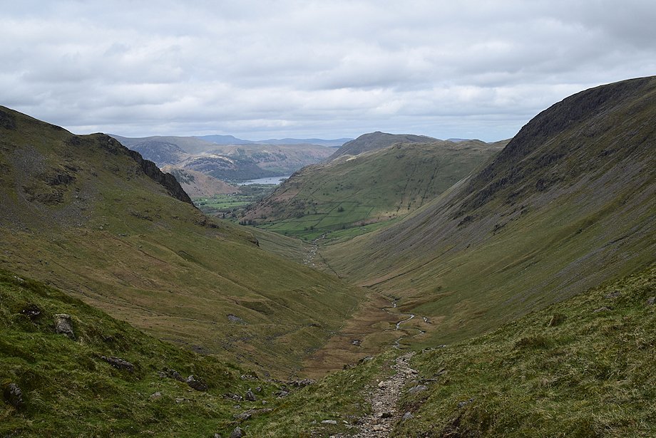 |
| Looking north to Ullswater from Threshthwaite Mouth |
 |
 |
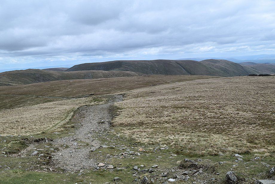
| Looking west from Threshthwaite Mouth to Threshthwaite Crag |
Looking east from Threshthwaite Mouth to Thornthwaite Crag |
|
 |
| The usual and most direct path from Threshthwaite Mouth to the summit of Thornthwaite Crag climbs across the shattered crags on its north-western slope. An easy alternative is to turn left at the foot of the crags and follow a grassy shelf towards a ruined wall on the left skyline |
 |
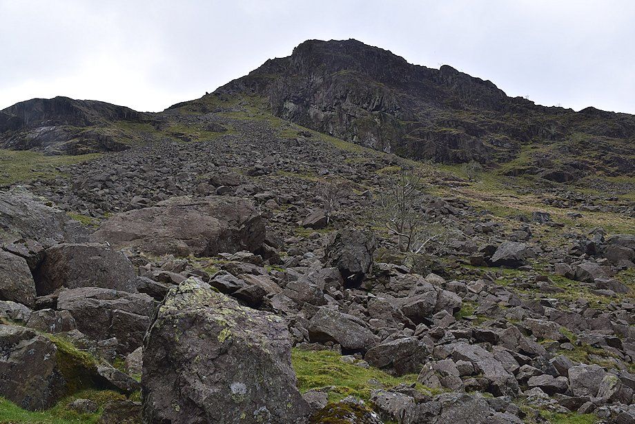
| The less than inviting direct path to the summit . . . a tedious ribbon of loose stones |
 |
| The start of the easier alternative, a faint path makes a rising traverse of the grass shelf, keeping below all of the scree |
 |
| Looking down on the Troutbeck Valley from the start of the grass shelf |
 |
| Looking down on Pasture Beck from the path along the grass shelf |
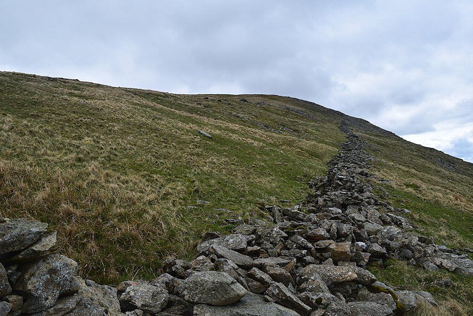 |
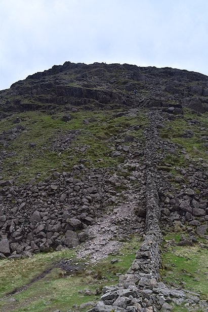
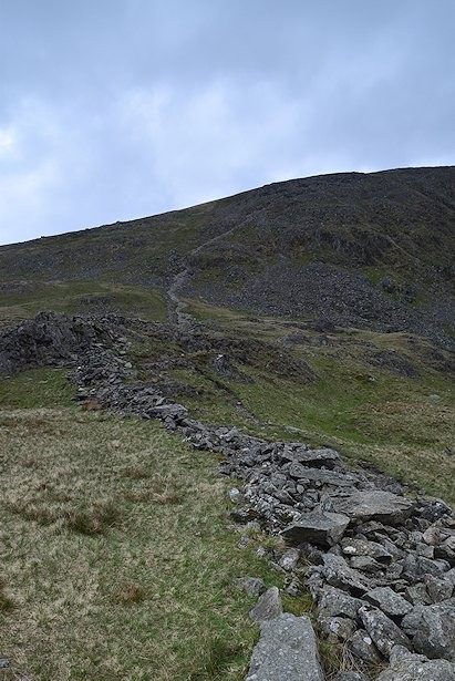
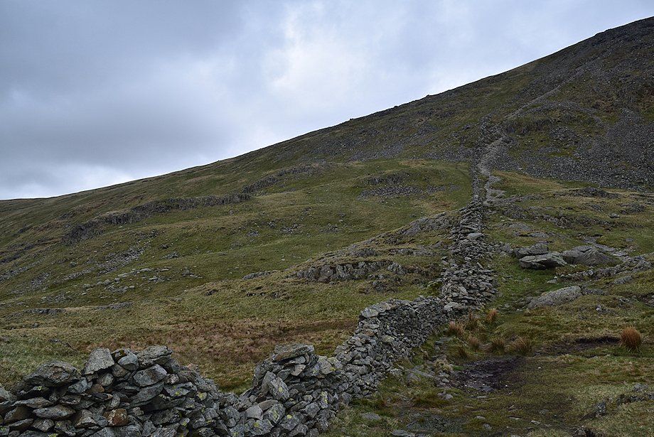
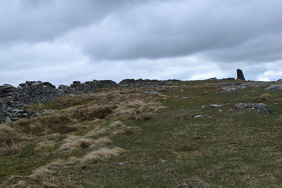
| On reaching the ruined wall it is only a matter of following its course to the summit of Thornthwaite Crag, initially keep well above it to avoid some rocks |
 |
| Looking back to the ruined wall, there is no path to follow over this section so it is advisable to keep the wall within sight in poor visibility |
 |
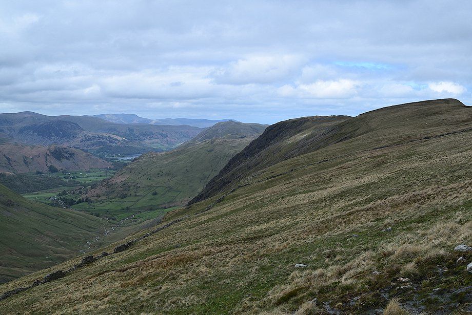
| Looking down on Threshthwaite Mouth and across to Caudale Moor |
 |
| Fairfield and the Helvellyn range over the Caudale Moor~Hartsop Dodd ridge |
 |
| Rest Dodd, The Knott and Rampsgill Head over the Gray Crag~Thornthwaite Crag ridge |
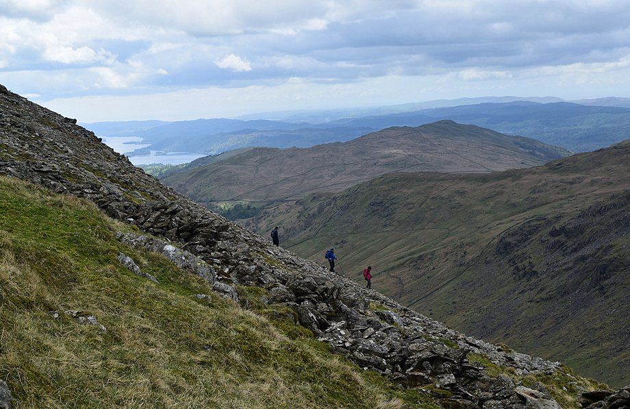 |
| Walkers descending the direct path |
 |
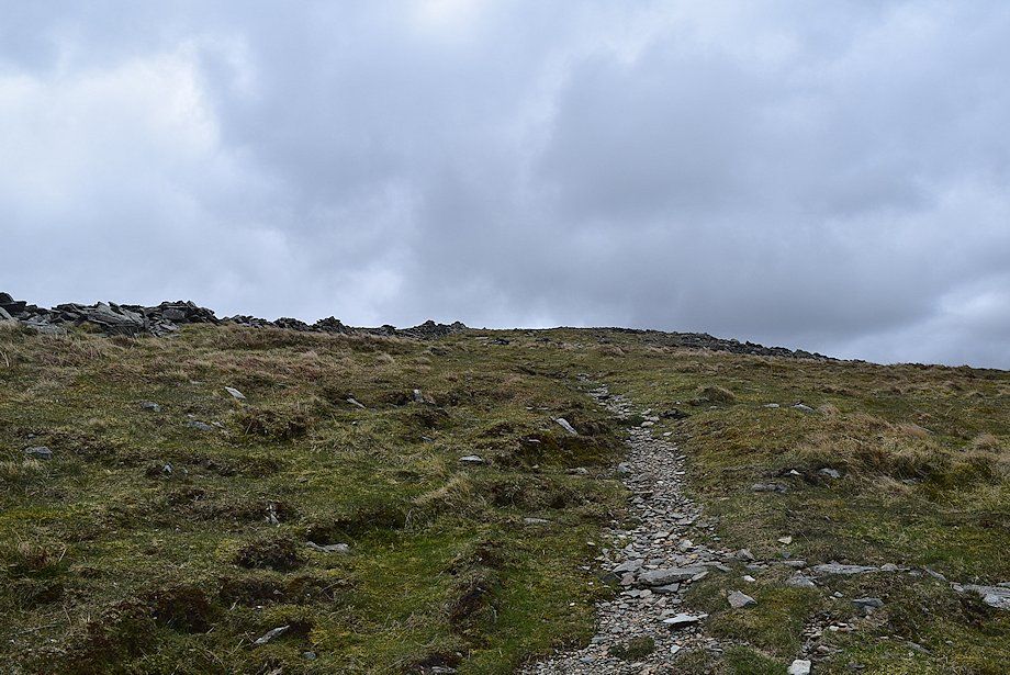
| Eventually the route re-crosses the ruined wall and joins the direct path just as it emerges onto the gentler upper slopes of Thornthwaite Crag |
 |
| Approaching the summit ridge of Thornthwaite Crag |
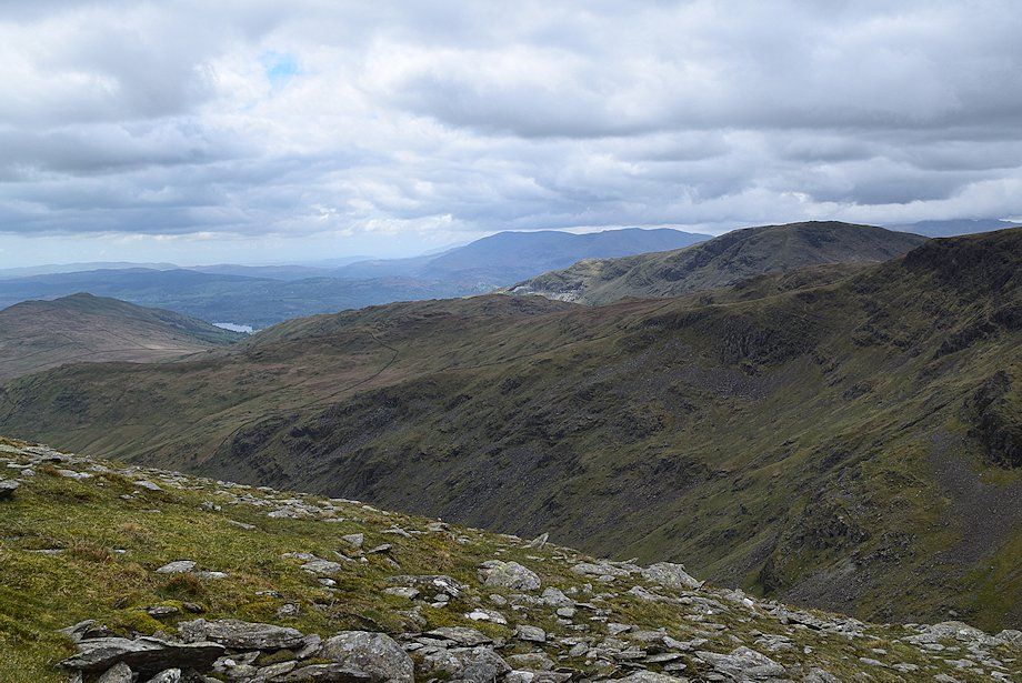 |
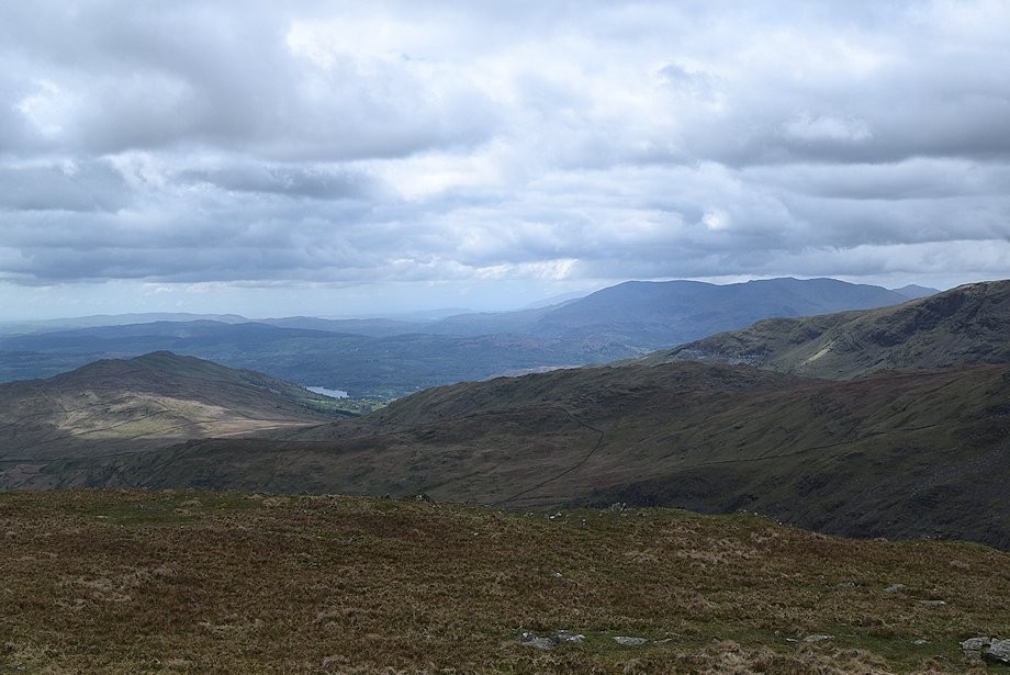
| The Coniston Fells appear over the southern slopes of Caudale Moor and Red Screes |
 |
| Looking back, a long line of the Eastern Fells appear over the Caudale Moor~Hartsop Dodd ridge, from Dove Crag on the left to Great Dodd on the right |
 |
| The 14ft high Thornthwaite Beacon on the summit comes into view |
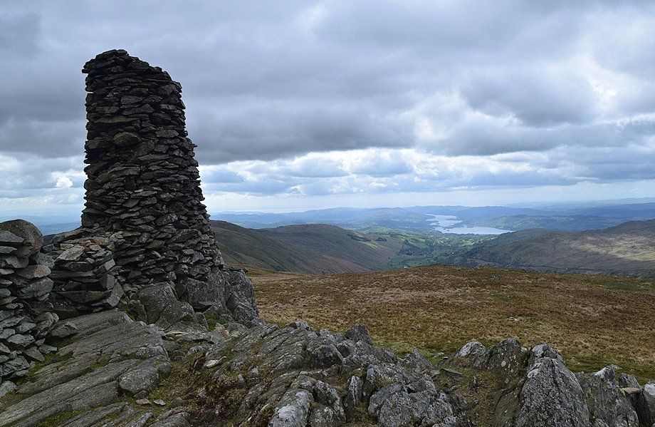 |
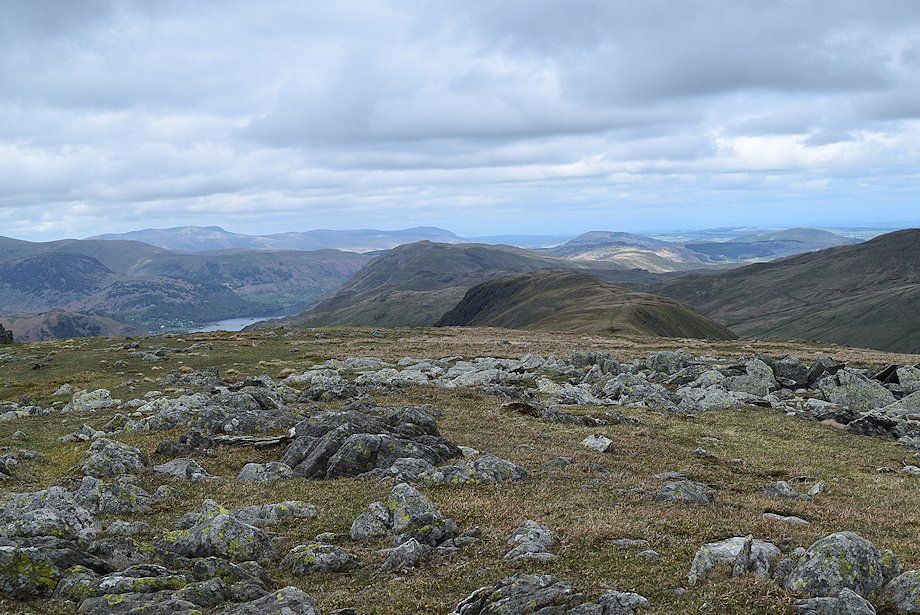
| Windermere from the summit of Thornthwaite Crag |
 |
| Wansfell and and a small section of Windermere in the left middle distance with the Coniston fells and Harter Fell on the right skyline |
 |
| Dove Crag and Fairfield over Caudale Moor with the Helvellyn group to the right |
 |
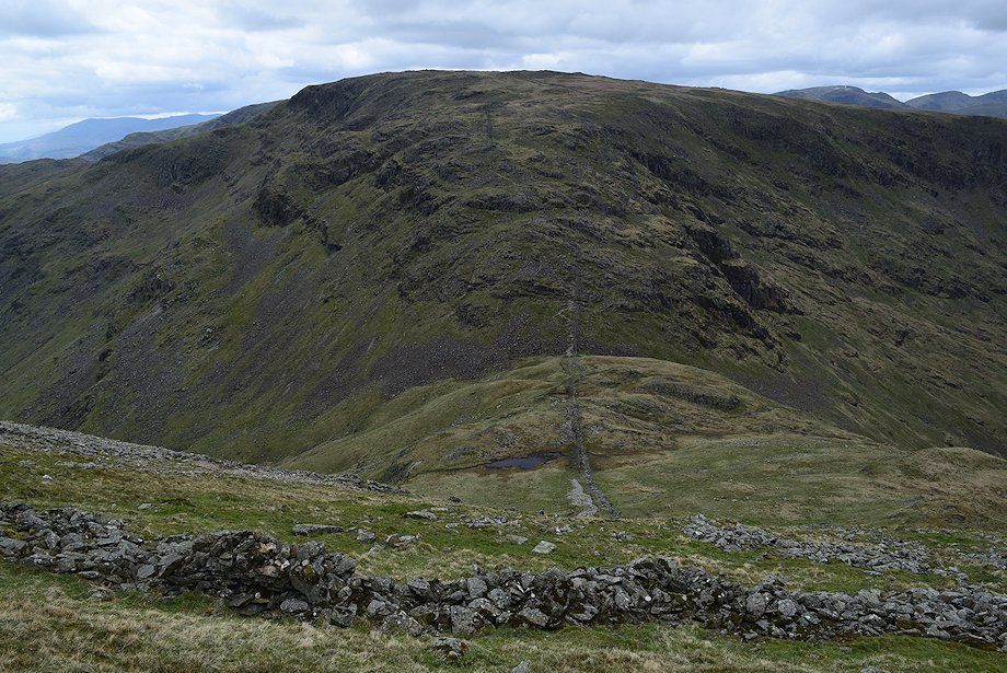
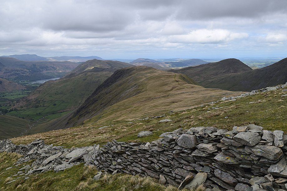
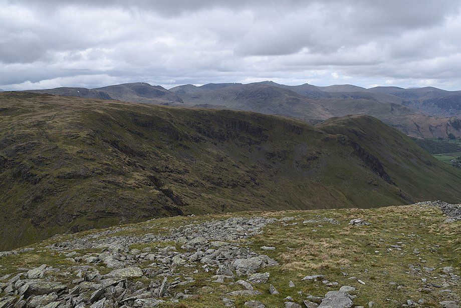
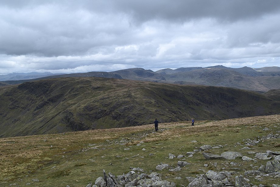
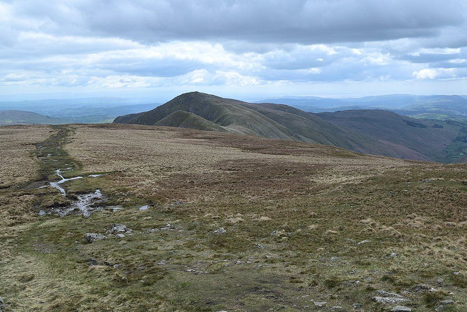
| The connecting ridge to Gray Crag with Place Fell in the middle distance. Blencathra appears on the left skyline |
 |
| Looking north to, Rest Dodd, The Knott, Rampsgill Head and High Raise |
 |
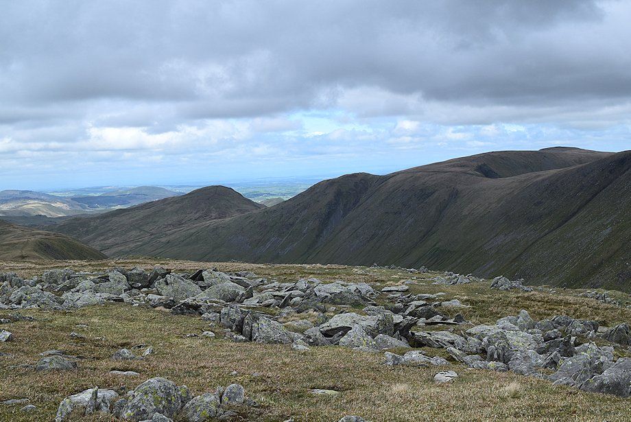
| High Street, the highest of the Far Eastern Fells |
 |
| Looking east to Mardale Ill Bell, Branstree, Harter Fell and Kentmere Pike |
 |
| The connecting ridge to Froswick, Ill Bell and Yoke |
